


Walking path Maria Luggau - Gail path


Hiking and walking path along the Gail (below Maria Luggau)
Attention: Please check the current trail and weather conditions before each route!
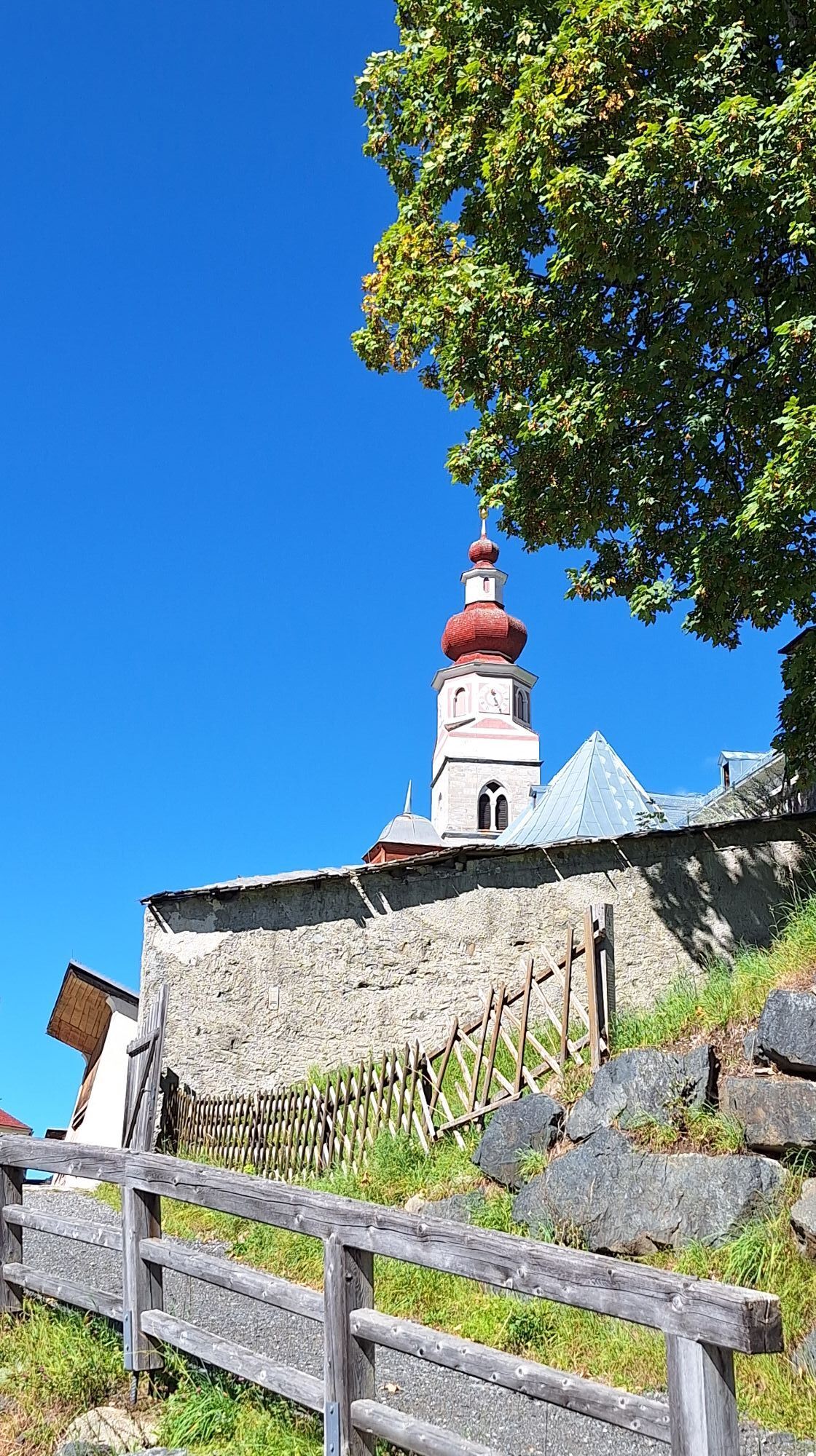
We start this easy walk directly in Maria Luggau below the...
Hiking and walking path along the Gail (below Maria Luggau)
Attention: Please check the current trail and weather conditions before each route!
We start this easy walk directly in Maria Luggau below the church, then walk westward and turn left at the old Bäckwirt inn, where the path leads us down to the Gail. Upon arrival, we turn left again and follow the Gail path, which nestles idyllically into the landscape. Shortly before the Mooser bridge, we turn left again onto a hiking trail that takes us back to Maria Luggau, the starting point.
(The Gail hike can be extended in both directions along the Gail)
Attention: Please check the current trail and weather conditions before each route!
We start this easy walk directly in Maria Luggau below the church, then walk westward and turn left where the path leads us down to the Gail. Upon arrival, we turn left again and follow the Gail path, which nestles idyllically into the landscape. Shortly before the Mooser bridge, we turn left again onto a hiking trail that takes us back to Maria Luggau, the starting point.
(The Gail hike can be extended in both directions along the Gail)
Ano
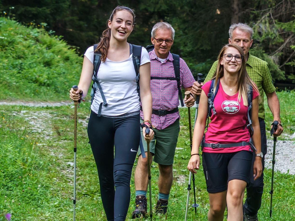
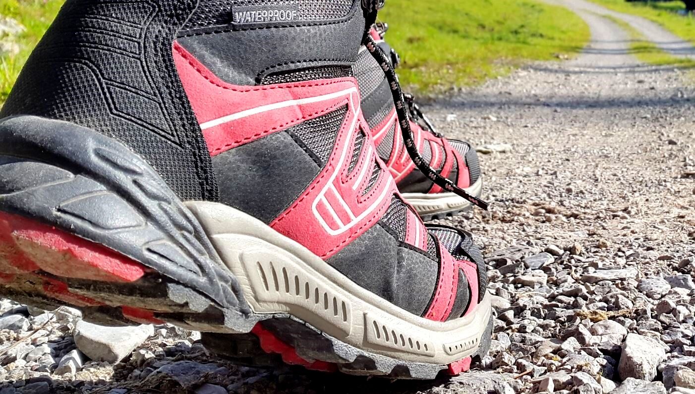
sturdy hiking footwear
Check the current trail situation or any trail closures before the route.
either via Kötschach-Mauthen or via Sillian (Tassenbach) into the Lesachtal to Maria Luggau
by bus to Maria Luggau in the Lesachtal
in the village centre (old school square)
Place to eat and drink in Maria Luggau
Oblíbené prohlídky v okolí
- 4,8
Lienzer Dolomiten-Lasertörl
středníTuristika13,2 km - 4,3
Mountainbiketour von der Hubertuskapelle zum Wolayersee
heavyMountainbike9,06 km - 3,9
Summit hike to the Hochstadel
středníTuristika7,83 km - 4,8
Böses Weibele - Pustertaler Höhenweg
středníTuristika13,2 km - 2,6
Lienzer Dolomiten: Karlsbader Hütte und Laserzwand
světloTuristika5,91 km - 5,0
Dolomitenhütte, Rudl-Eller-Weg / Steig, Piccola Ferrata, Laserzsee, Karlsbaderhütte, Dolomitenhütte, Tristach, Österreich
středníHorská turistika11,1 km - 5,0
Böses Weibele
světloTuristika10,1 km - 4,6
Obergail - Obergailer Alm - Obergailer Lake - Enderberg hut - Source for Health & Peace - Madonna circular hiking route - Obergail
středníTuristika11,4 km - 4,5
Klammbrückl - Kerschbaumeralm - Spitzkofel
heavyTuristika8,71 km - 4,3
Bread & Morende Trail
středníTuristika11,3 km
Pěší turistika a stopování


Nenechte si ujít nabídky a inspiraci pro vaši příští dovolenou
Vaše e-mailová adresa byl přidán do poštovního seznamu.