


GS_N15 Kleiner Trieb (2,096 m) - Hoher Trieb (2,199 m)
Fotografie našich uživatelů
 © MarkusVytvořeno dne 16.06.2025
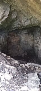 © MarkusVytvořeno dne 16.06.2025
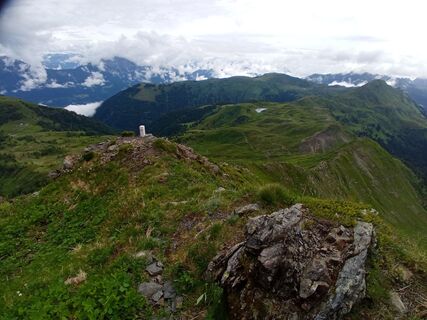 © MarkusVytvořeno dne 16.06.2025
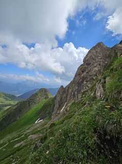
 © Florian DürneggerVytvořeno dne 22.06.2024
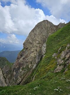 © Florian DürneggerVytvořeno dne 22.06.2024
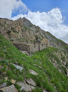 © Florian DürneggerVytvořeno dne 22.06.2024
 © Florian DürneggerVytvořeno dne 22.06.2024
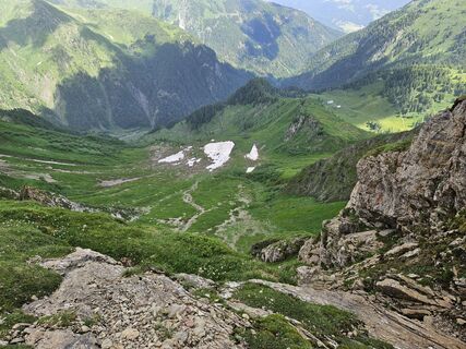 © Florian DürneggerVytvořeno dne 22.06.2024
 © Florian DürneggerVytvořeno dne 22.06.2024
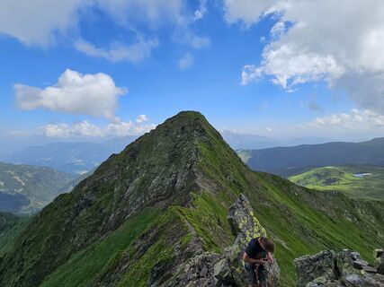 © Florian DürneggerVytvořeno dne 22.06.2024
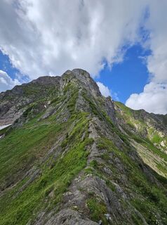 © Florian DürneggerVytvořeno dne 22.06.2024
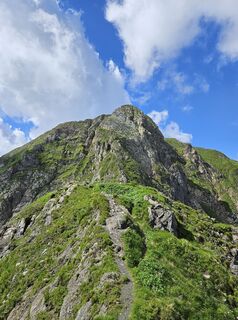 © Florian DürneggerVytvořeno dne 22.06.2024
 © Florian DürneggerVytvořeno dne 22.06.2024
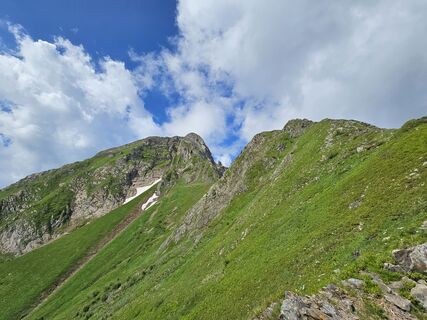 © Florian DürneggerVytvořeno dne 22.06.2024
 © Florian DürneggerVytvořeno dne 22.06.2024
 © Florian DürneggerVytvořeno dne 22.06.2024
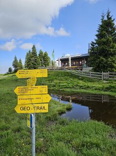 © Florian DürneggerVytvořeno dne 22.06.2024


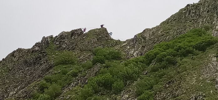
Both "Triebe" are popular peaks today, which can be climbed in various variants. However, the via ferrata "Weg der Jugend" between the Kleiner and Hoher Trieb should only be undertaken with appropriate...
Both "Triebe" are popular peaks today, which can be climbed in various variants. However, the via ferrata "Weg der Jugend" between the Kleiner and Hoher Trieb should only be undertaken with appropriate experience and equipment.
This route suggestion deals with an easier ascent route that is manageable with some fitness and sure-footedness.
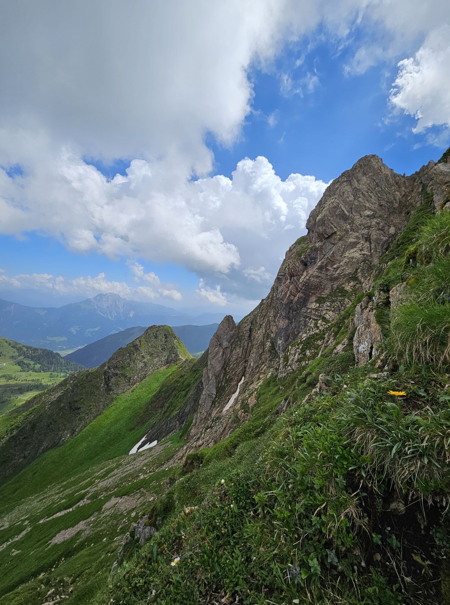
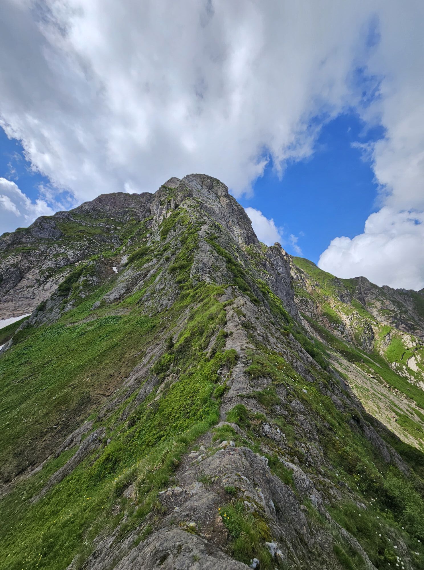
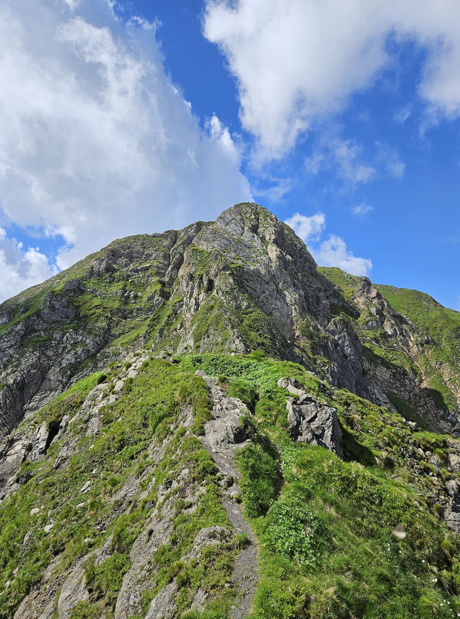
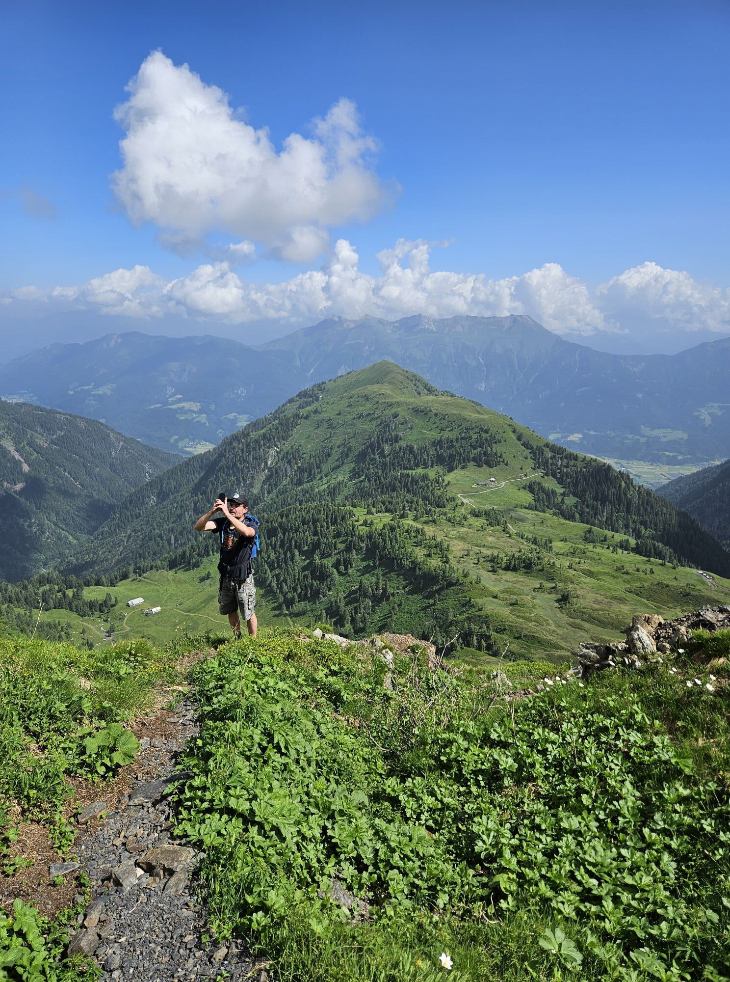
It is a short, quite rewarding route during which, in the last section over the just under 500 vertical meters, blades of grass can sometimes brush your face. Especially from the second half of the ascent onwards, it goes – although briefly but still – somewhat strenuous forward. The Kleiner Trieb is bypassed on the west side.

(Ascent):
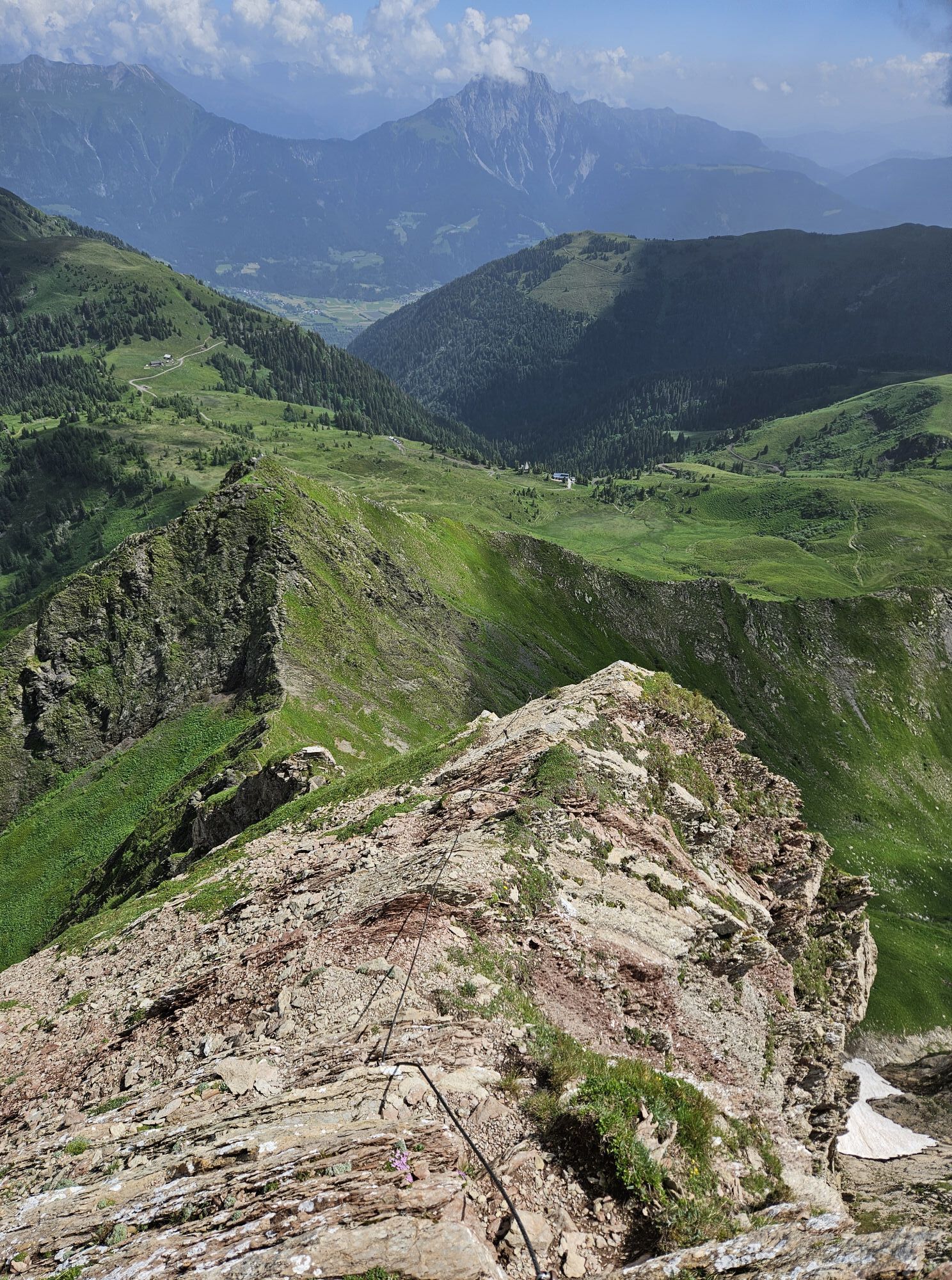
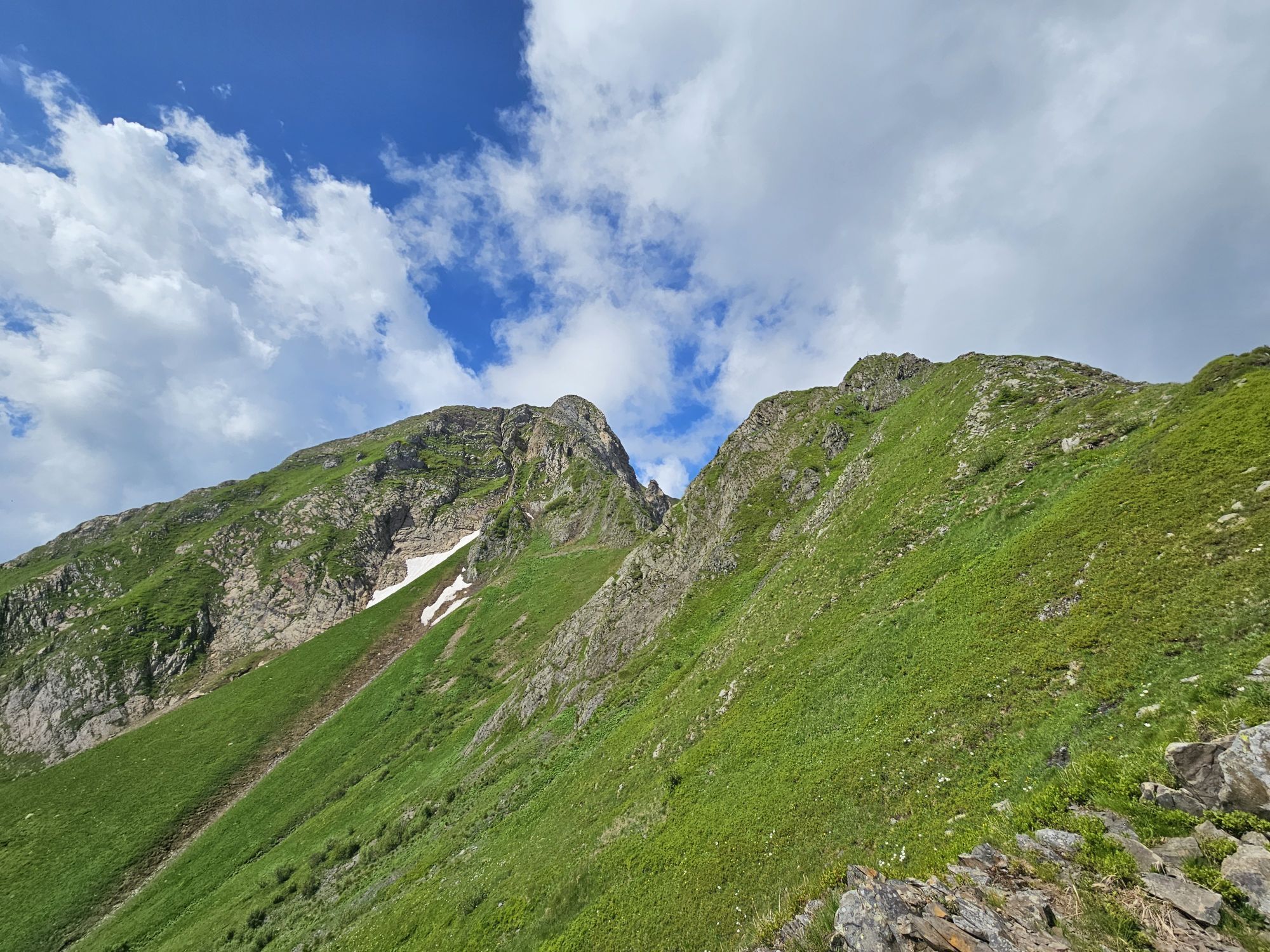
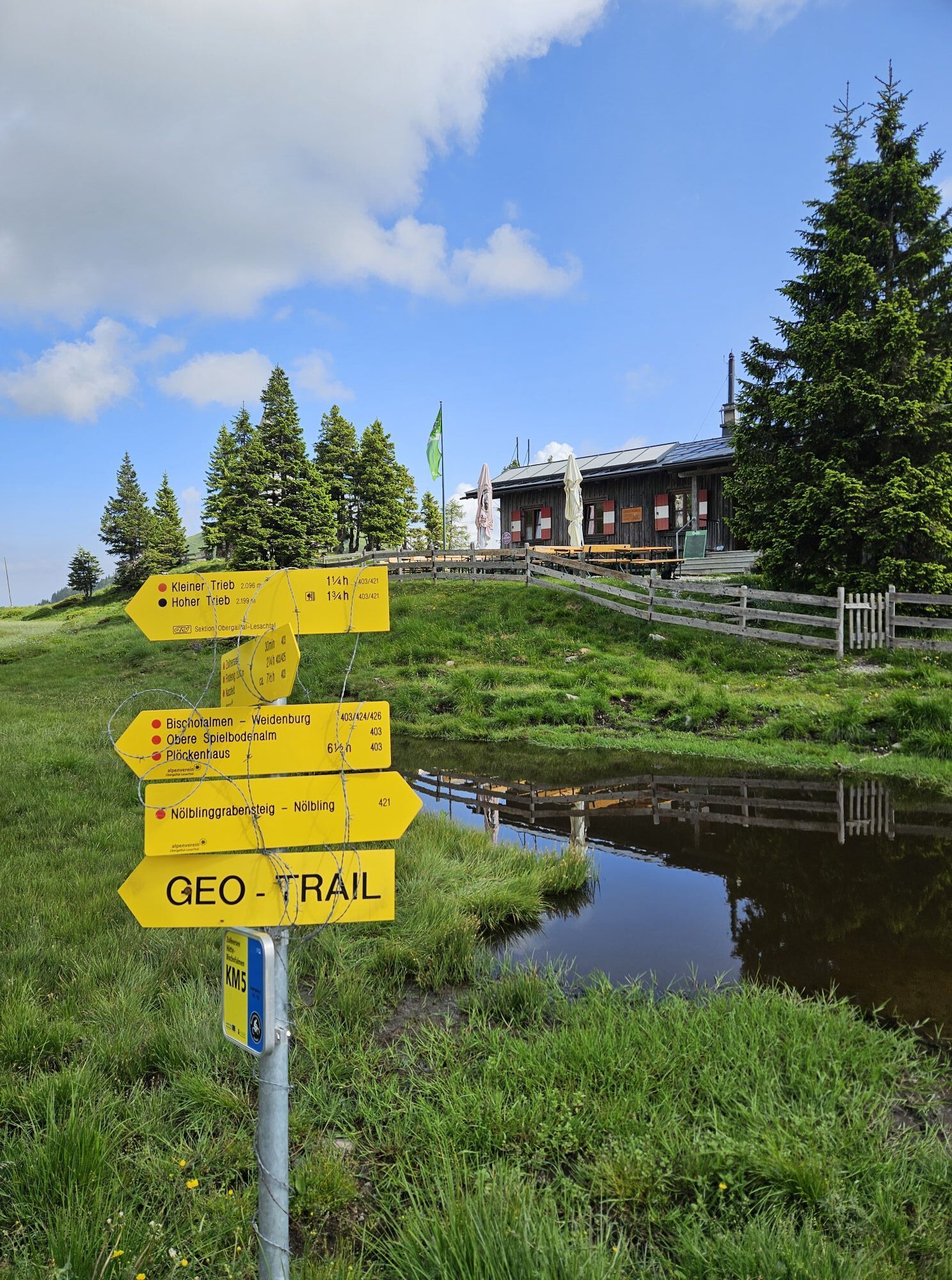
Directly in front of the Zollnersee Hut begins the well-marked and signposted easy-to-walk path. After a few minutes, you reach a junction and leave the path leading left to the Kleiner Trieb also "to the left" and turn right. After bypassing the summit structure of the Kleiner Trieb on the west side via the Trieb basin, you ascend a steep cirque in numerous switchbacks.
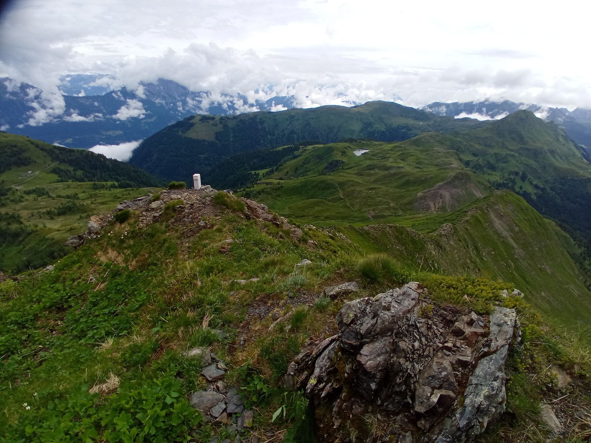
The Kleiner Trieb with its delicately forged summit cross lies on your left in this section. This cross was made around 1933 by the Klagenfurt master blacksmith Hafner, stood on the Reißkofel on the other side of the Gail valley until the 1970s, and then was moved here.
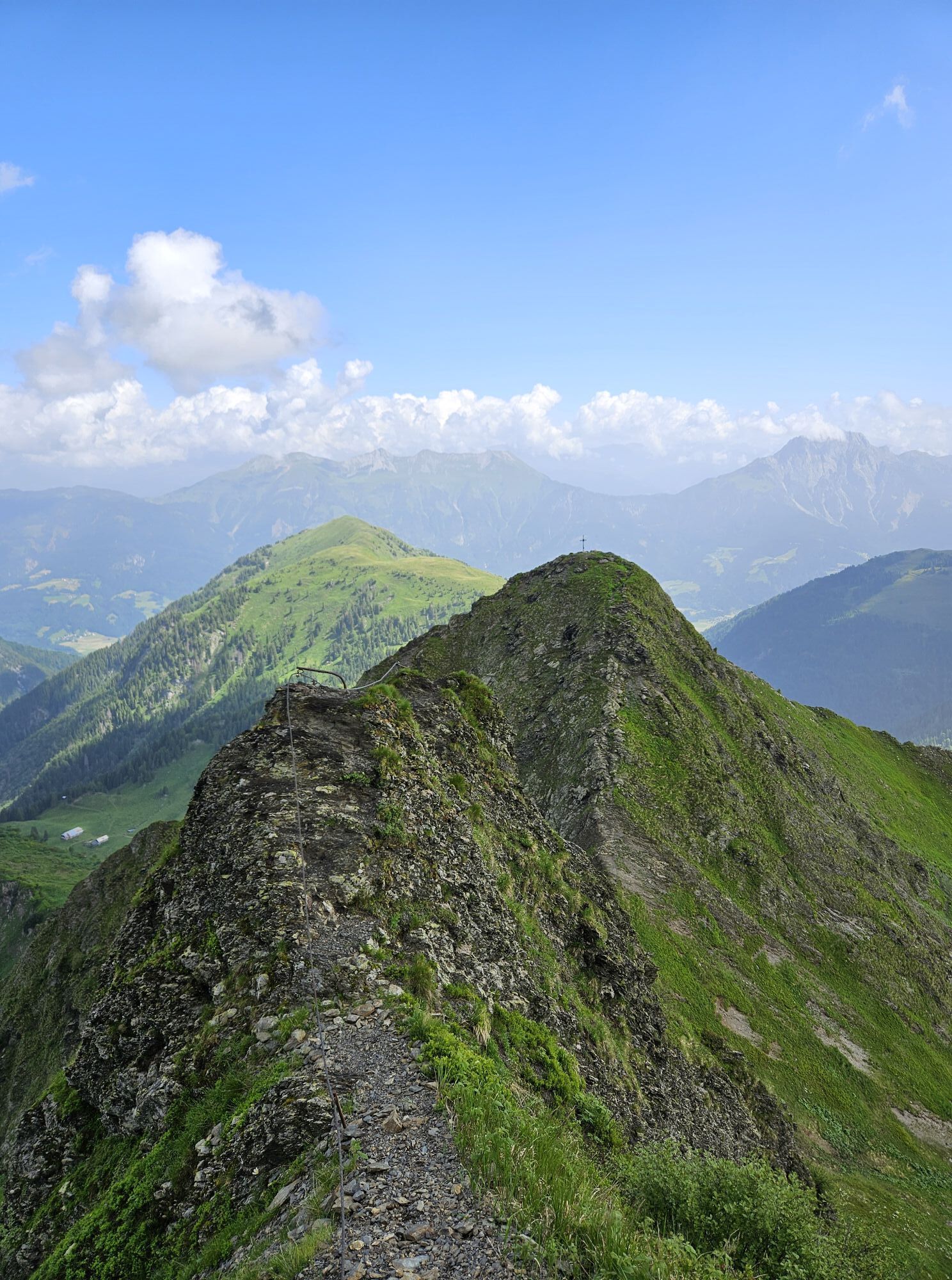
Once you reach the ridge, you only have a few minutes towards east before you stand on the summit plateau of the Hohe Trieb.
Now it is time to enjoy the view:
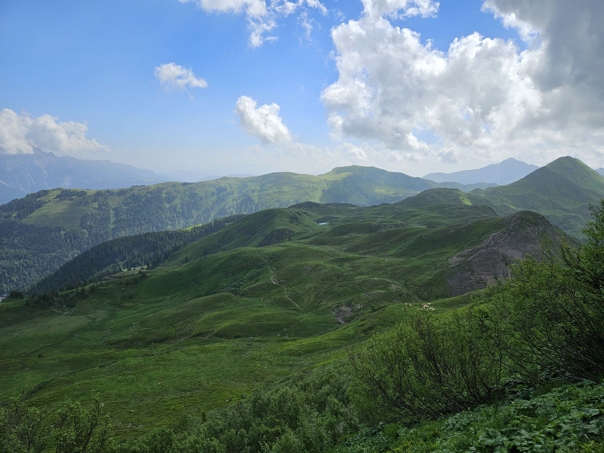
To the west, countless peaks adorn the area of the Lesachtal, and it is not far to the highest peak in the Carnic Alps – the Hohe Warte. To the south, the Italian Julian Alps reveal themselves in their full size and splendor. From the east, for example, the three famous "Kofel" of the Nassfeld area shine – the Gartnerkofel, the Trogkofel, and the Roßkofel. Further back are the rugged mountains of the Julian Alps in Slovenia. And to the north, the Hohe Tauern rise into the sky.
(Descent):
Today, nothing is spared for you. The ascent path is recommended for the descent as well.
You will see:
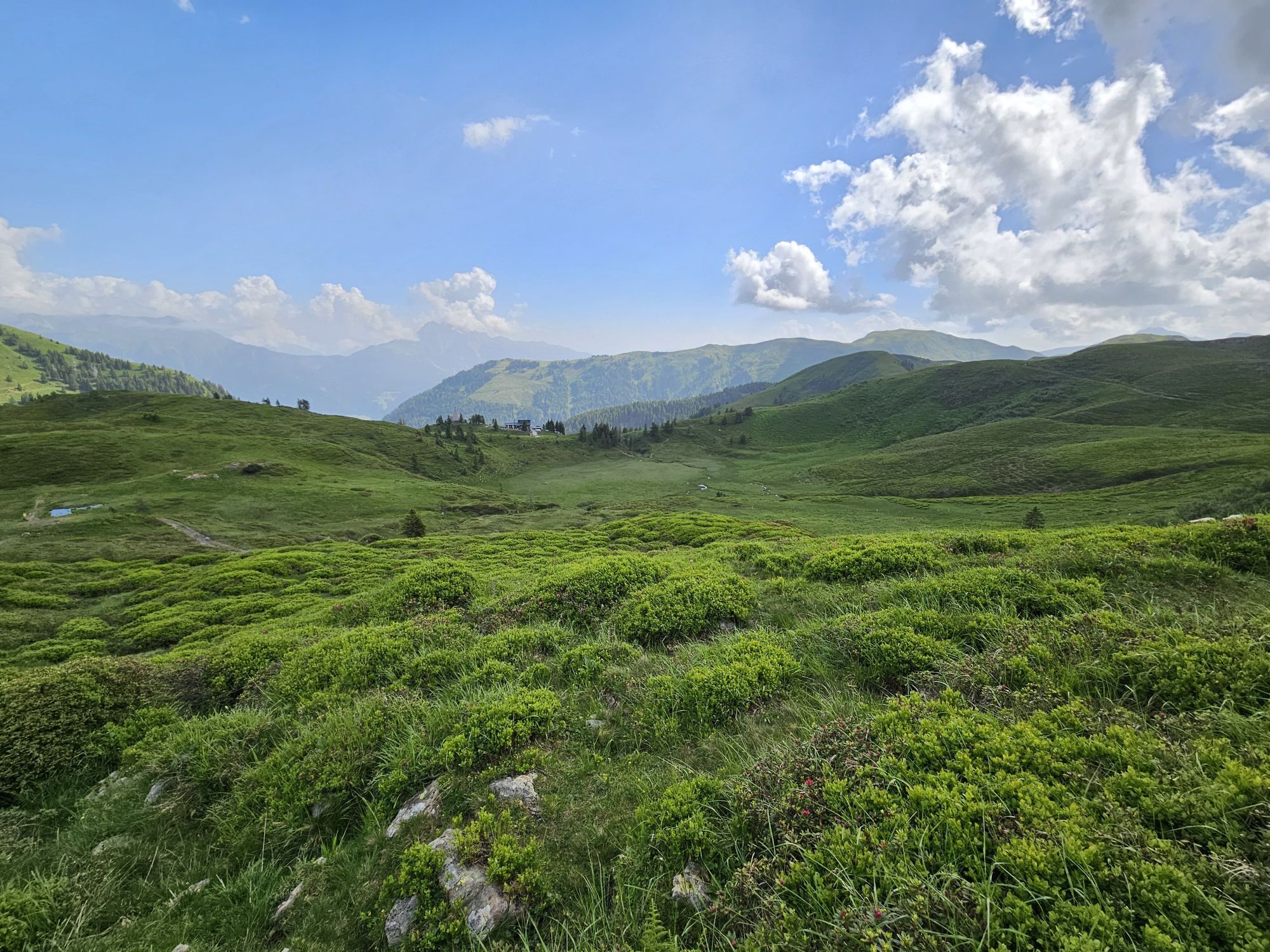
Regarding a culinary stop at the Zollnersee Hut – a gem of the Obergailtal/Lesachtal section of the OEAV – the return there is not that long…!
It is up to you whether to do it before or after the snack. But a short detour to the Zollner See should still be possible before driving down to the valley. The path there is not difficult and not too far. You will certainly not regret this little excursion.
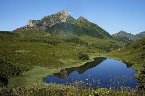
The peaceful Zollner See:
The approximately 1 ha large and maximally 2.80 m deep lake lies in an east-west oriented basin between the southern border ridge and the northern Seebühel. It is fed by several small tributaries from the south, coming from the broad, black shale-covered Silurian marsh basins. The shallow basin filled by the lake presumably originated from dead ice in the underlying rock. The ice melting is assumed to have occurred about 3000 years ago.
A special charm is exerted on the viewer by the lake shore, which is surrounded by alpine rose bushes, tussock grass, and marsh meadows. Water plants such as pondweed, feverfew, and cattails also grow here.
In summer, the water temperature can rise to 20°, and in winter, ice thicknesses of 1 m are not uncommon. Zollner See is rich in moss- and mud-dwelling algae, as well as animal plankton.
Attempts to introduce fish have failed over the years.
Ano
Ano
FAIR PLAY & RESPECT:
Awareness for nature – landowners – your health... and safety on the mountain have the highest priority for your route and the associated route planning!
Therefore, inquire before every hike about the rules of conduct - Safety on the Mountain - and the current weather conditions.
Waste disposal:
Waste is not always avoidable – but it has no place in nature and must be disposed of properly (preferably in the valley or at home).
Emergency numbers:
Europe-wide emergency call: 112 (access to every available network)
Austrian Alpine emergency call: 140
Opposite the Obergailtal villages of St. Daniel and Dellach lies Weidenburg (683 m). Here begins the road that will lead you nearly a dozen kilometers up to a good 1700 meters above sea level. Up to the Gratzhof settlement, it is still paved; then follows a well-maintained forest road. This ends for your vehicle a few meters before the Zollnersee Hut at a fenced parking lot.
Secured parking lot in front of the Zollnersee Hut. Please always keep the gate closed.
Are you looking for hiking tips in the region and a state-certified guide for a guided mountain hike?
You can find that and many other infos at - Tour tips and provider information
Places to eat:
- Zollnersee Hut (depending on the season)
- and in Dellach, St. Daniel and the surrounding villages, there are numerous year-round open places to eat – details available at Service A-Z.
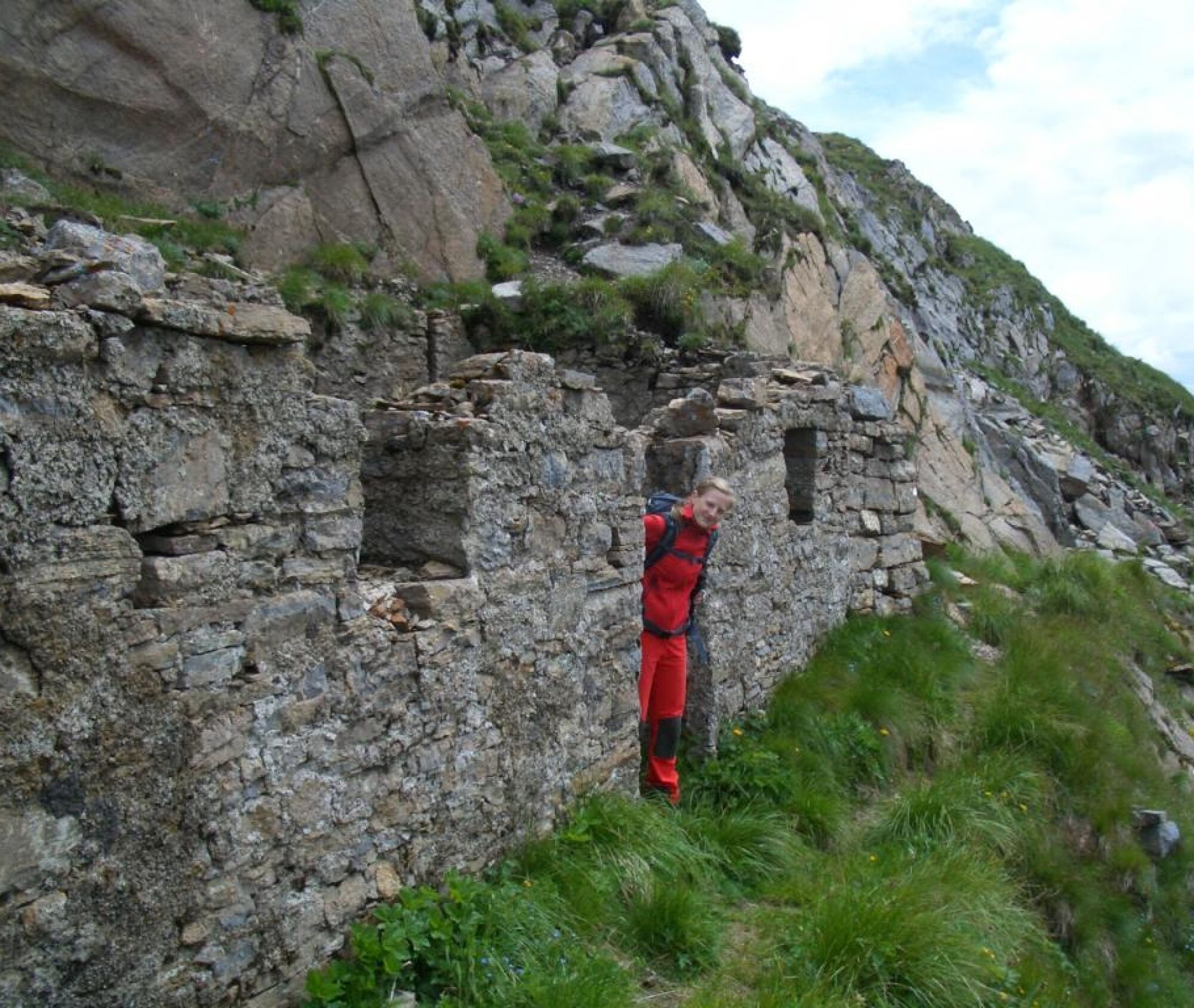
Close to the Zollnersee Hut stands the Zollner Peace Chapel. It is meant to commemorate the dead of the front line of the First World War that ran here and to promote peace.
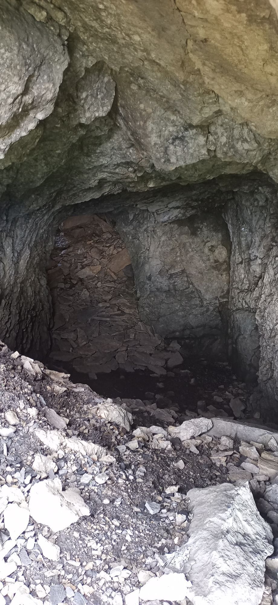
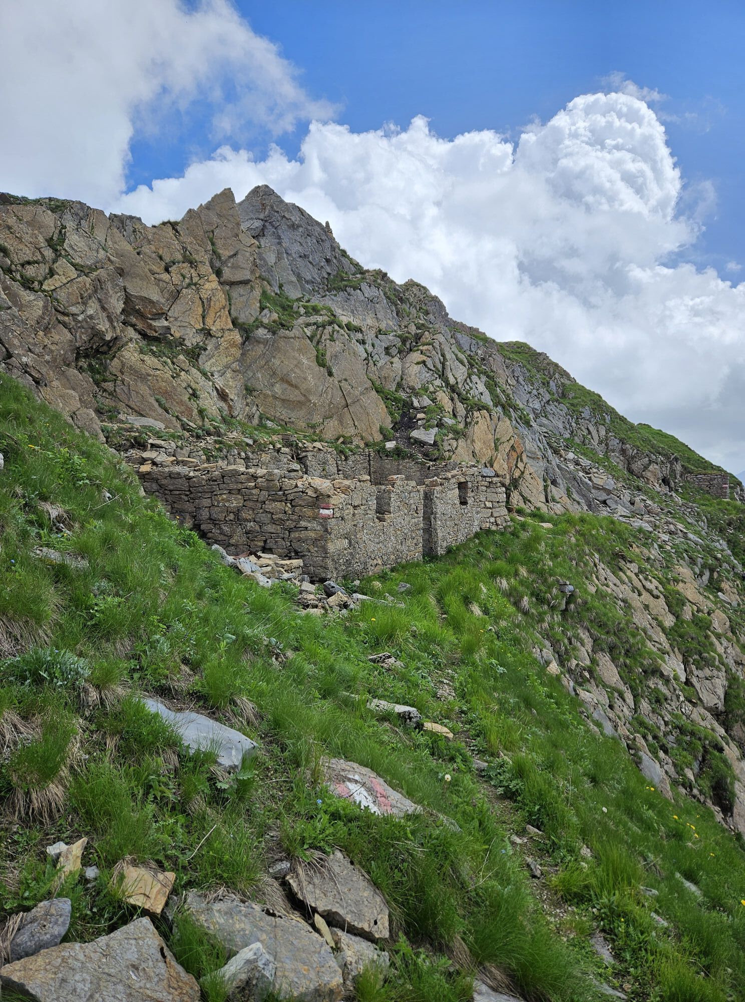
Even today, you encounter traces and witnesses from that time in this "world war terrain." Much is now overgrown with flowers, grass, and bushes, but there is still plenty to see:
A shell fragment here, a few meters of wire and rotting wood there. Dark caverns and masonry bastions. Then visible grids, used to encase and secure the unstable rock.
And since the word "Zollner" appears so often in this section of the Carnic Alps, a word on that:
Zollner comes from "Zolder" – early medieval for "alder." So, for example, the "Zollneralm" is the alpine pasture with the alders…!
Oblíbené prohlídky v okolí
- 4.9
Karnischer Hauptkamm - Hohe Warte 2.780m - Hike and Bike
heavyHorská turistika 19.5 km - 3.7
Cellon-Stollen und Senza Confini auf den Cellon und Steinberger Weg zum Abstieg
středníVia ferrata 7.09 km - 3.6
RW_N61 Kleiner Pal (1,867 m)
heavyTuristika 6.52 km - 4.3
WW_N18 flower paradise Mussen
středníTuristika 6.52 km - 5.0
Valentin-Wolayersee-Runde
středníTuristika 12.4 km - 4.5
03 Südalpenweg, 24. Etappe: Valentinalm - Wolayerseehütte
střednídálková pěší trasa 9.63 km - 4.5
KL_N5 Crete Rosse
středníVia ferrata 6.96 km - 5.0
Frischenkofel
středníTuristika 5.25 km - 4.5
WW_N15 Lanz - Jukbichl
středníTuristika 9.86 km - 3.8
Oberst Gressel Klettersteig (C/D)
středníVia ferrata 3.17 km

Pěší turistika a stopování


Nenechte si ujít nabídky a inspiraci pro vaši příští dovolenou
Vaše e-mailová adresa byl přidán do poštovního seznamu.