






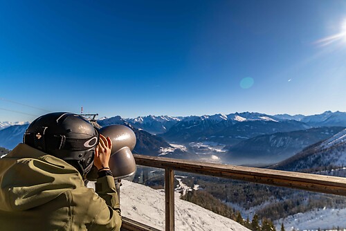
Kathreinkogel route

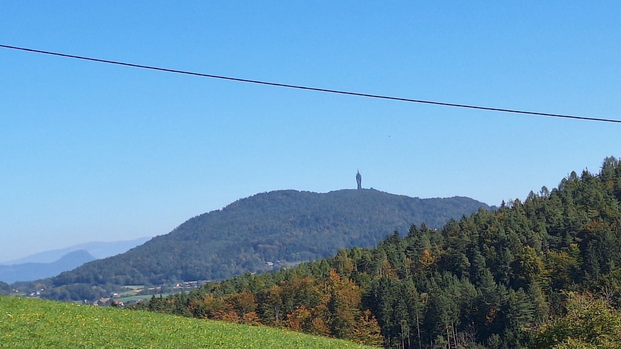
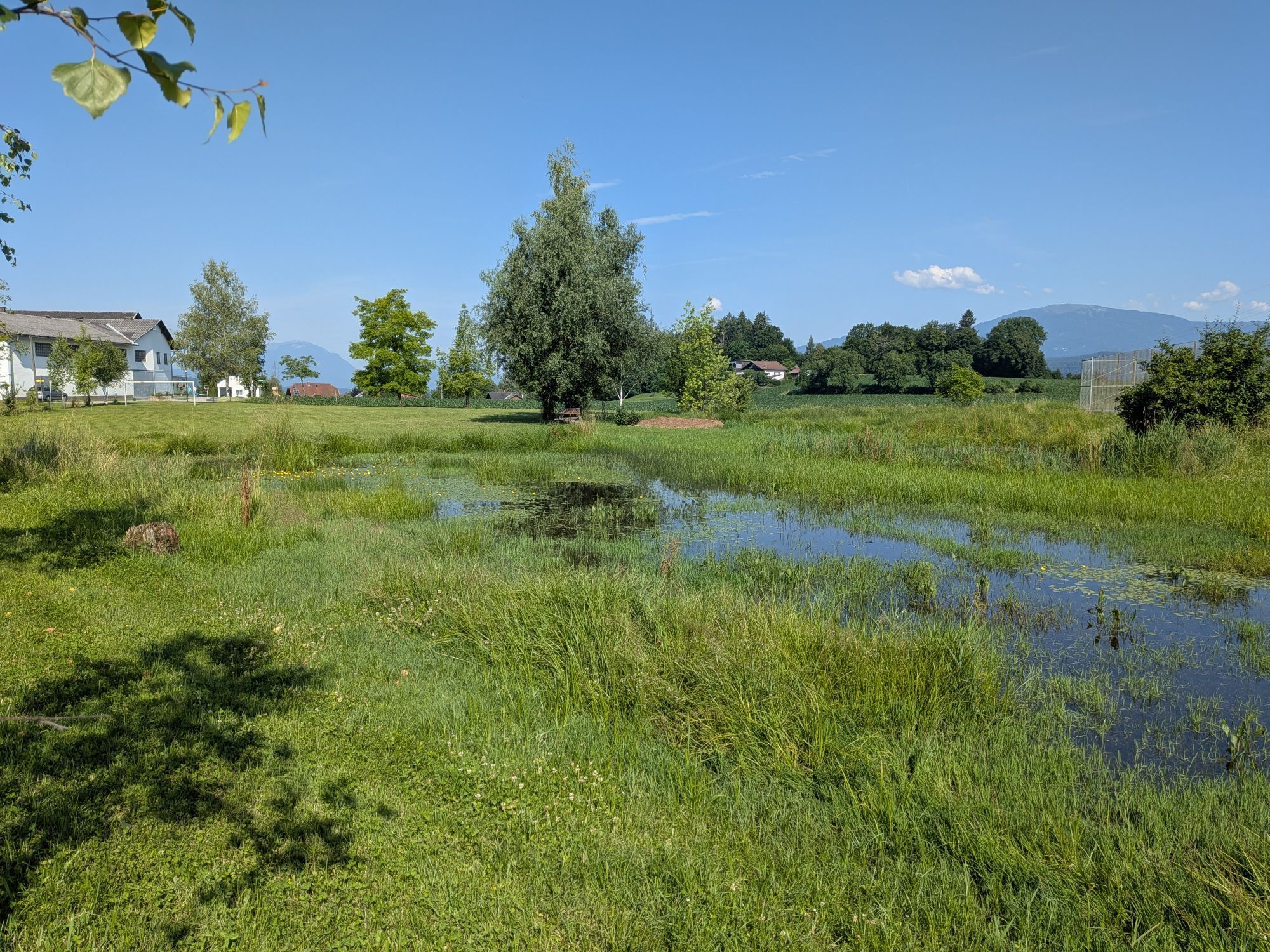
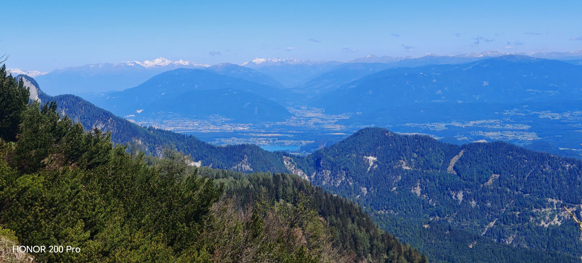
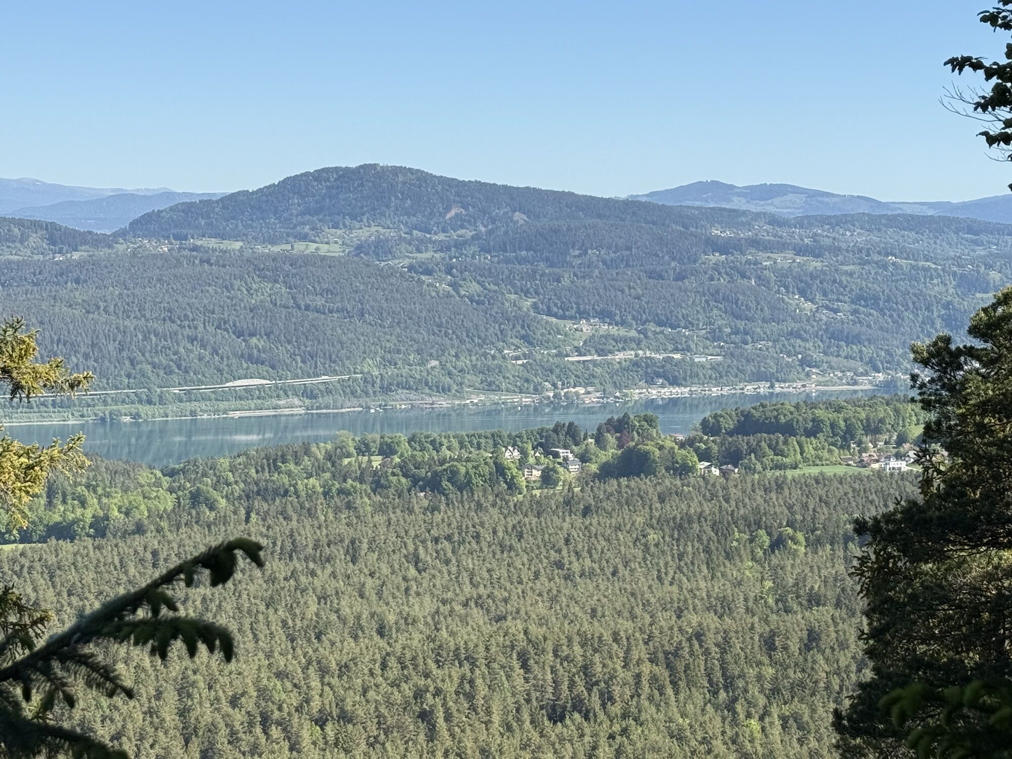
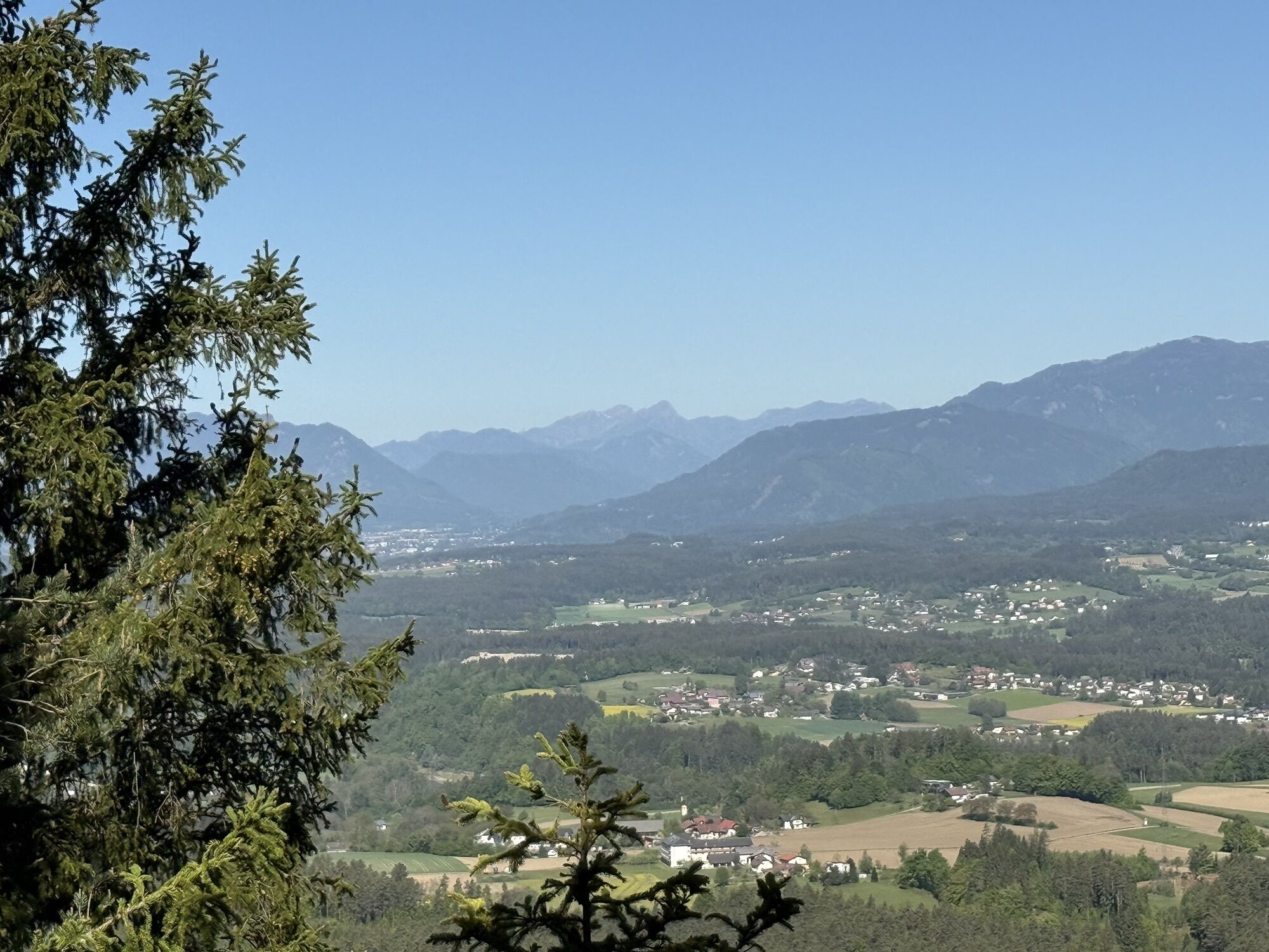
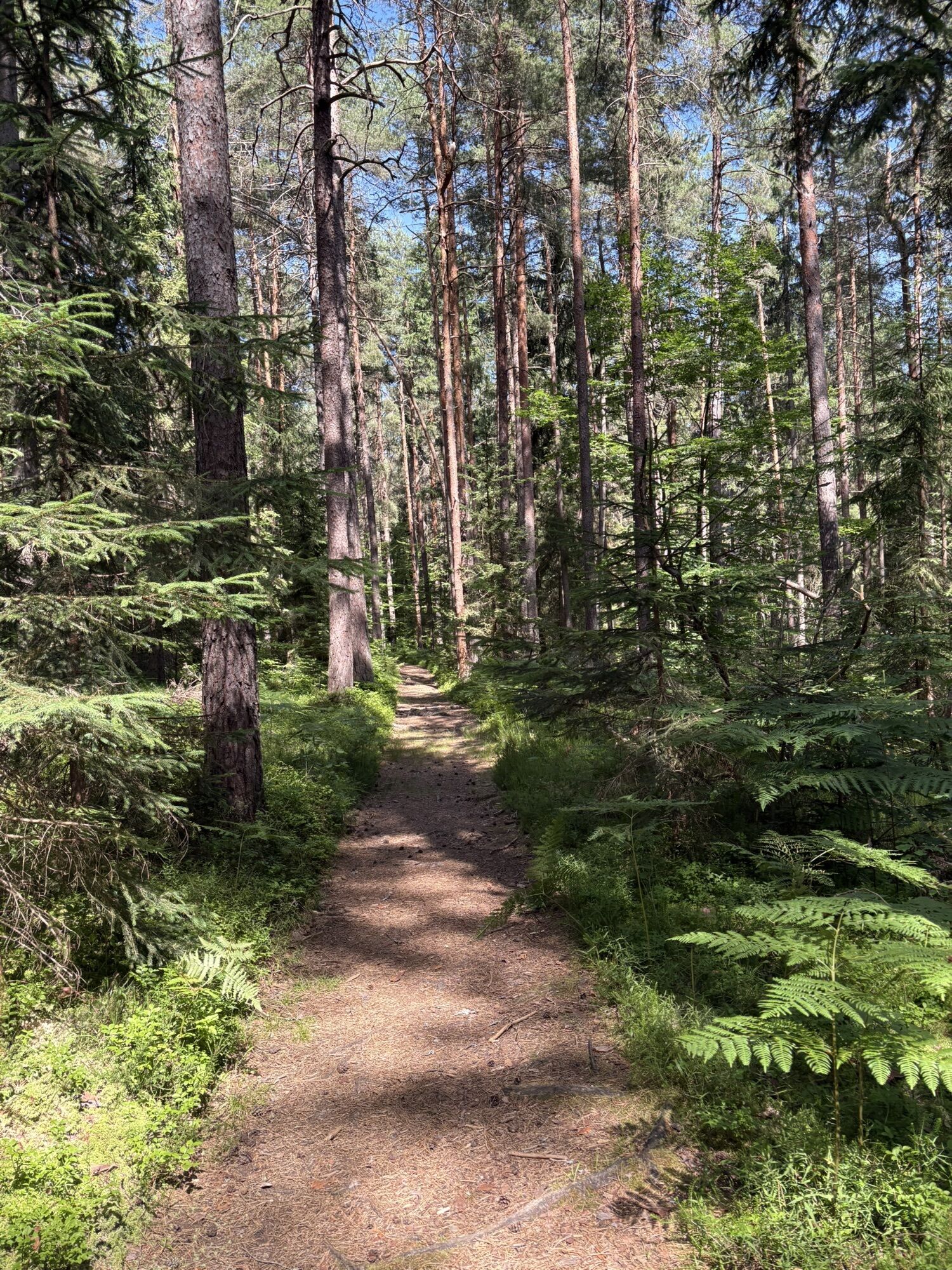
The Kathreinkogel route invites you to experience nature and relax. From the start, the path continues on solid ground along Keutschacher Straße through the Schiefling Forest towards St. Kathrein. A recommended...
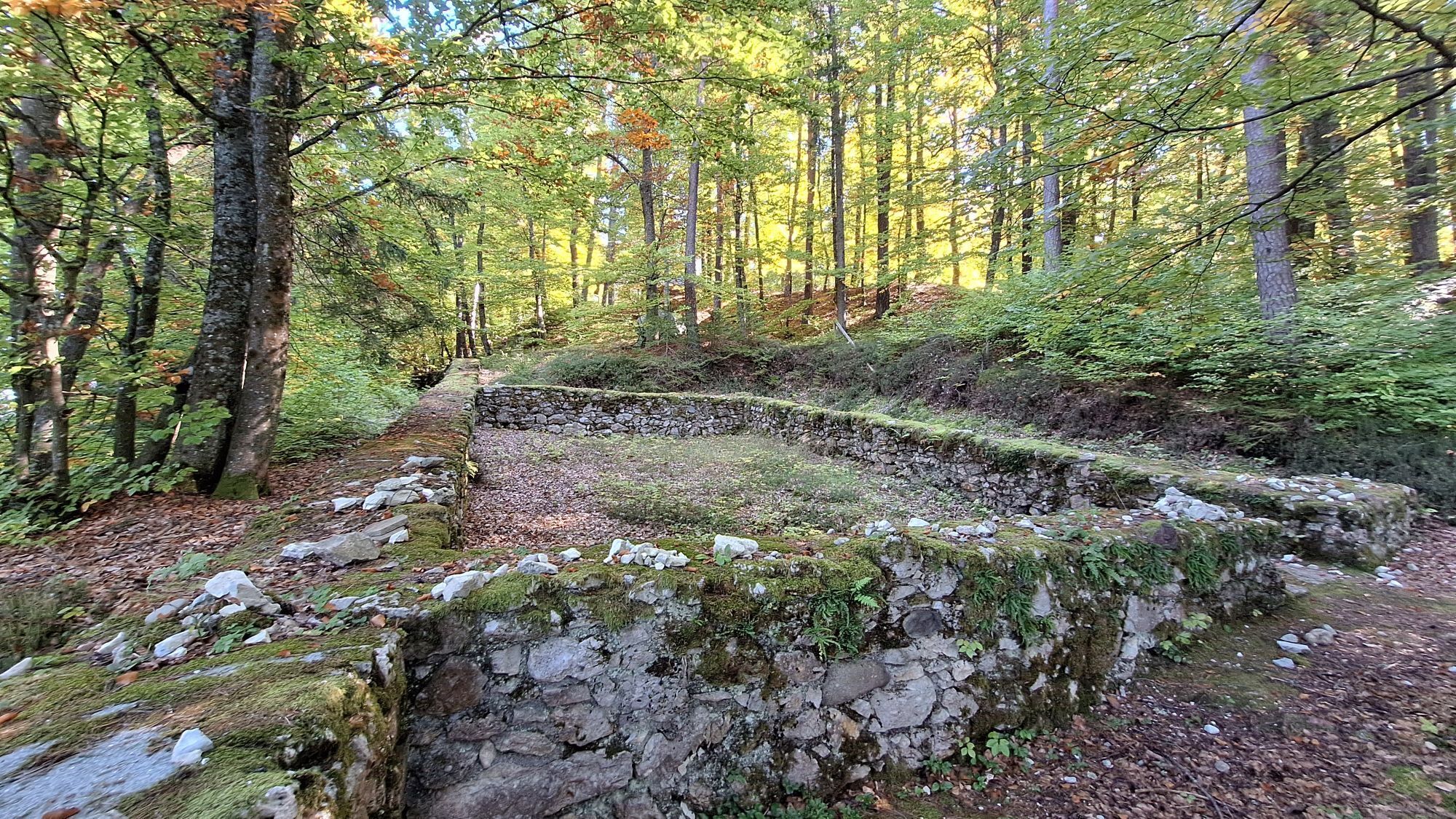
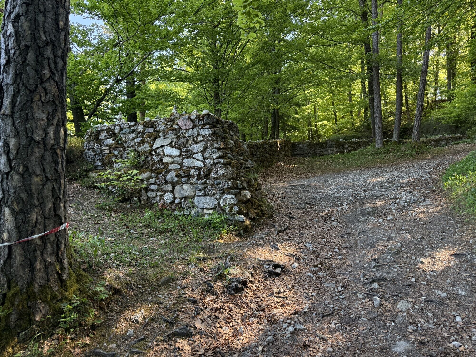
The Kathreinkogel route invites you to experience nature and relax. From the start, the path continues on solid ground along Keutschacher Straße through the Schiefling Forest towards St. Kathrein. A recommended stop is the 772 m high Kathreinkogel, where prehistoric and Roman excavations were discovered. The return route mainly follows natural ground around the Schiefling Forest back to the municipal office. The museum is open from June to September.
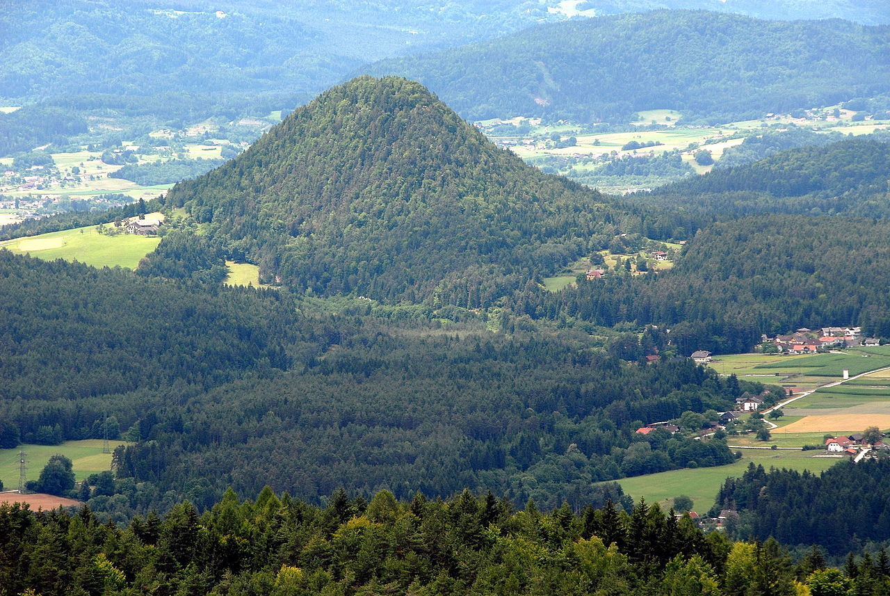
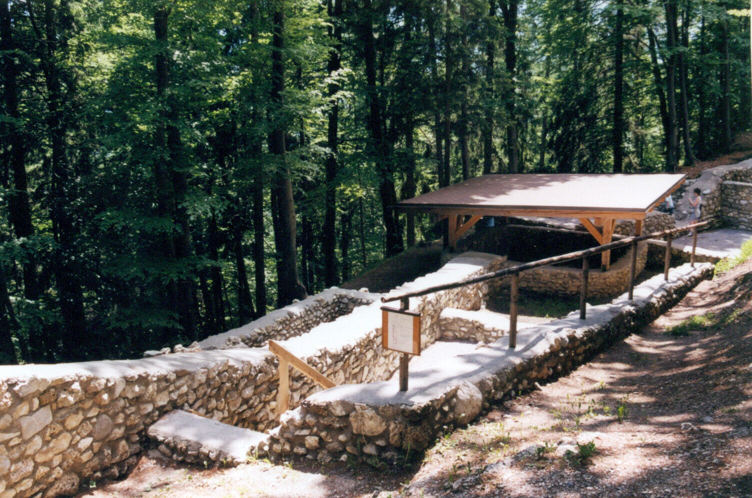
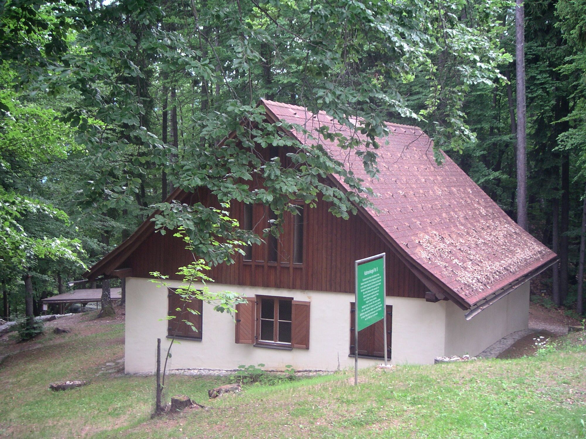
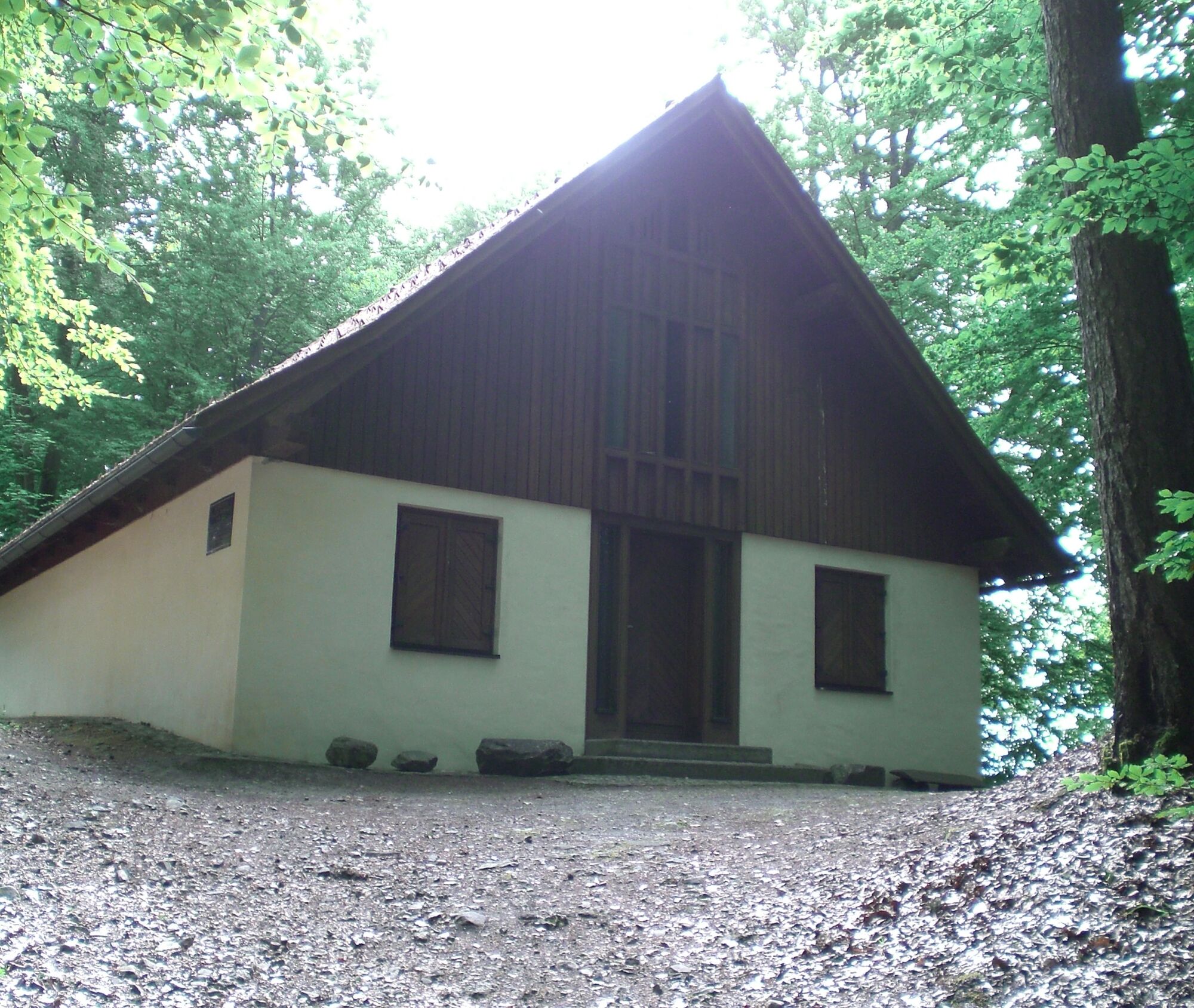
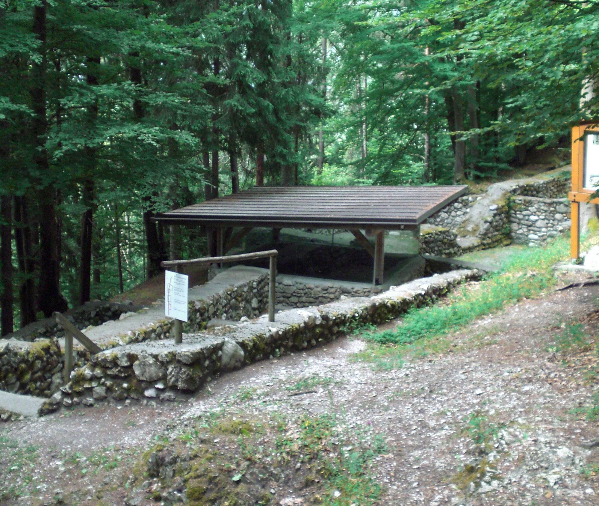
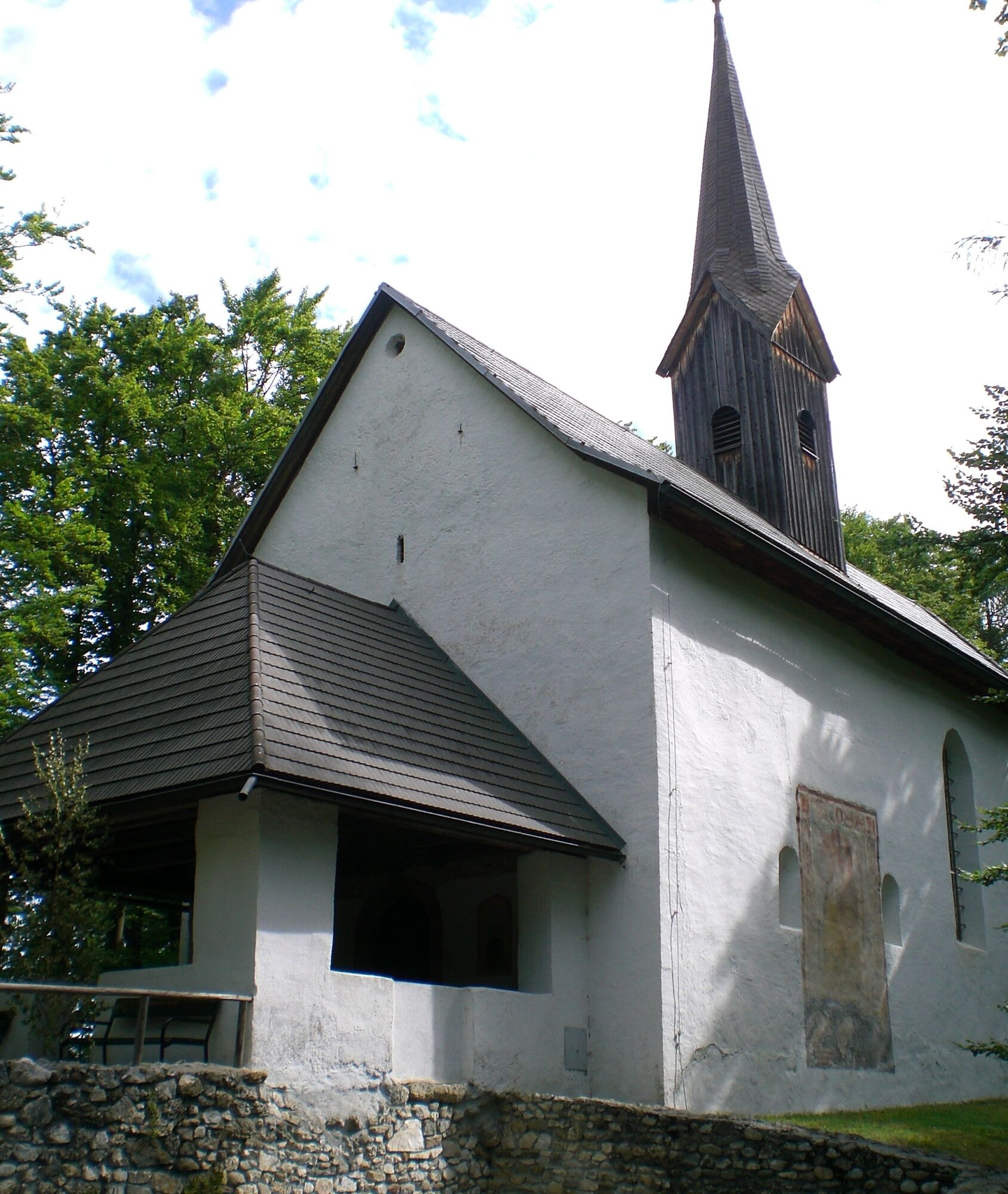
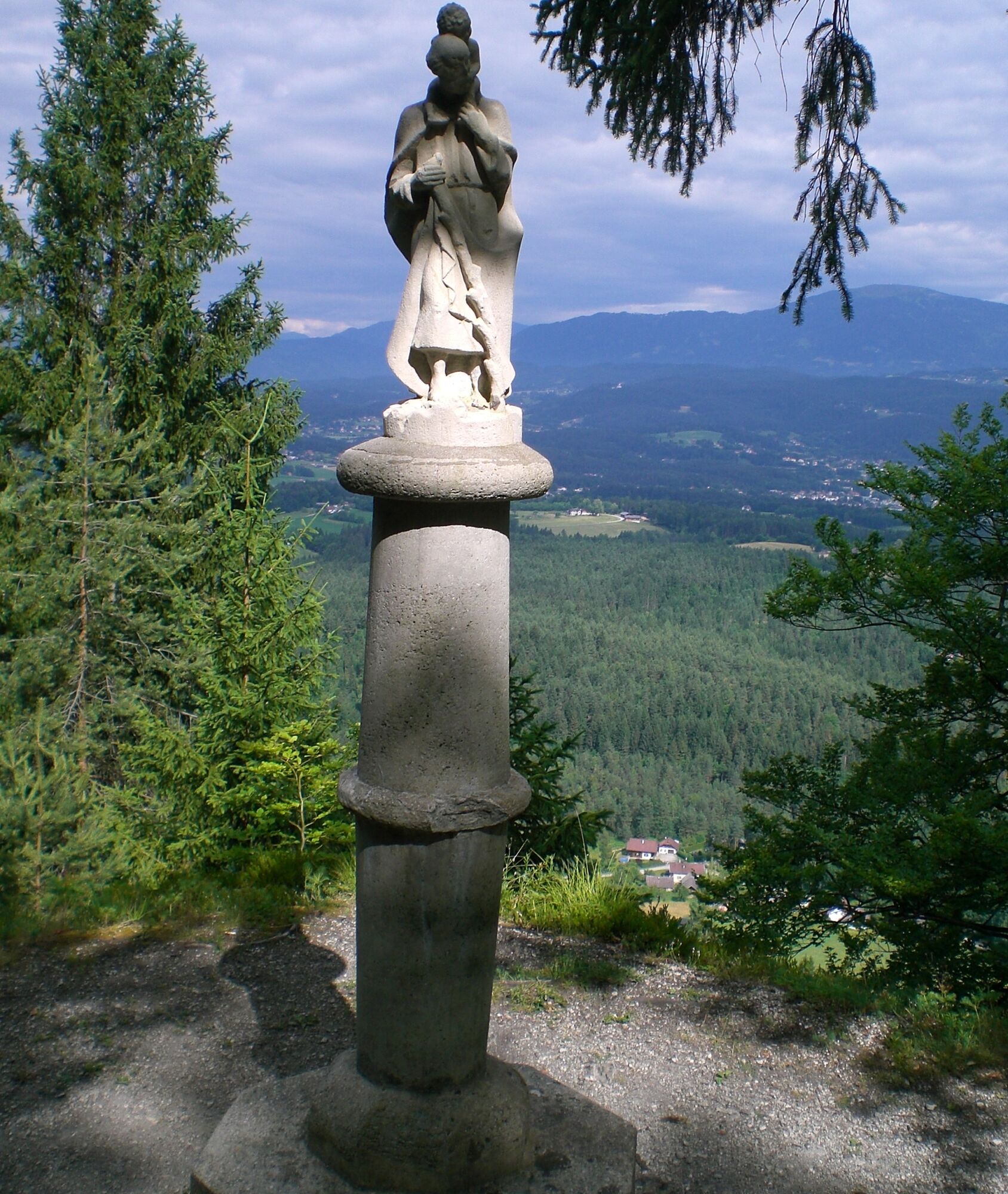
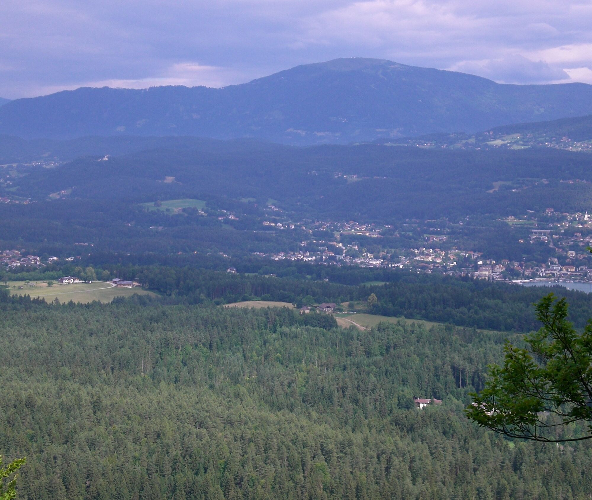
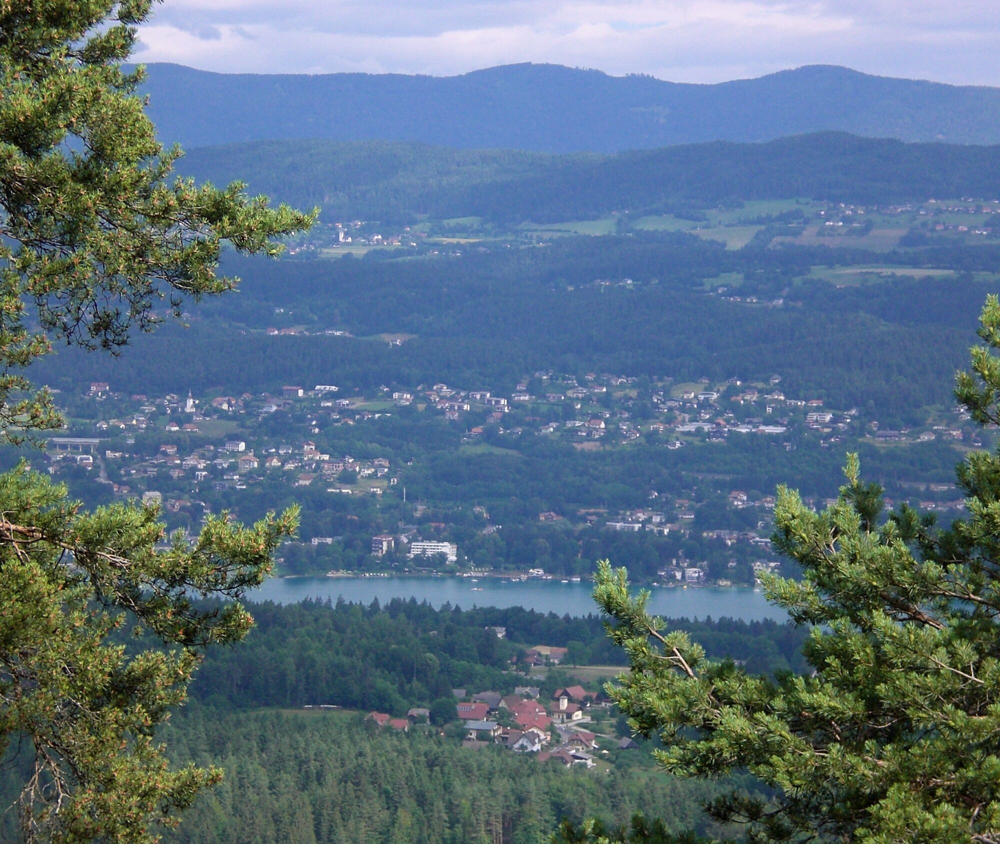
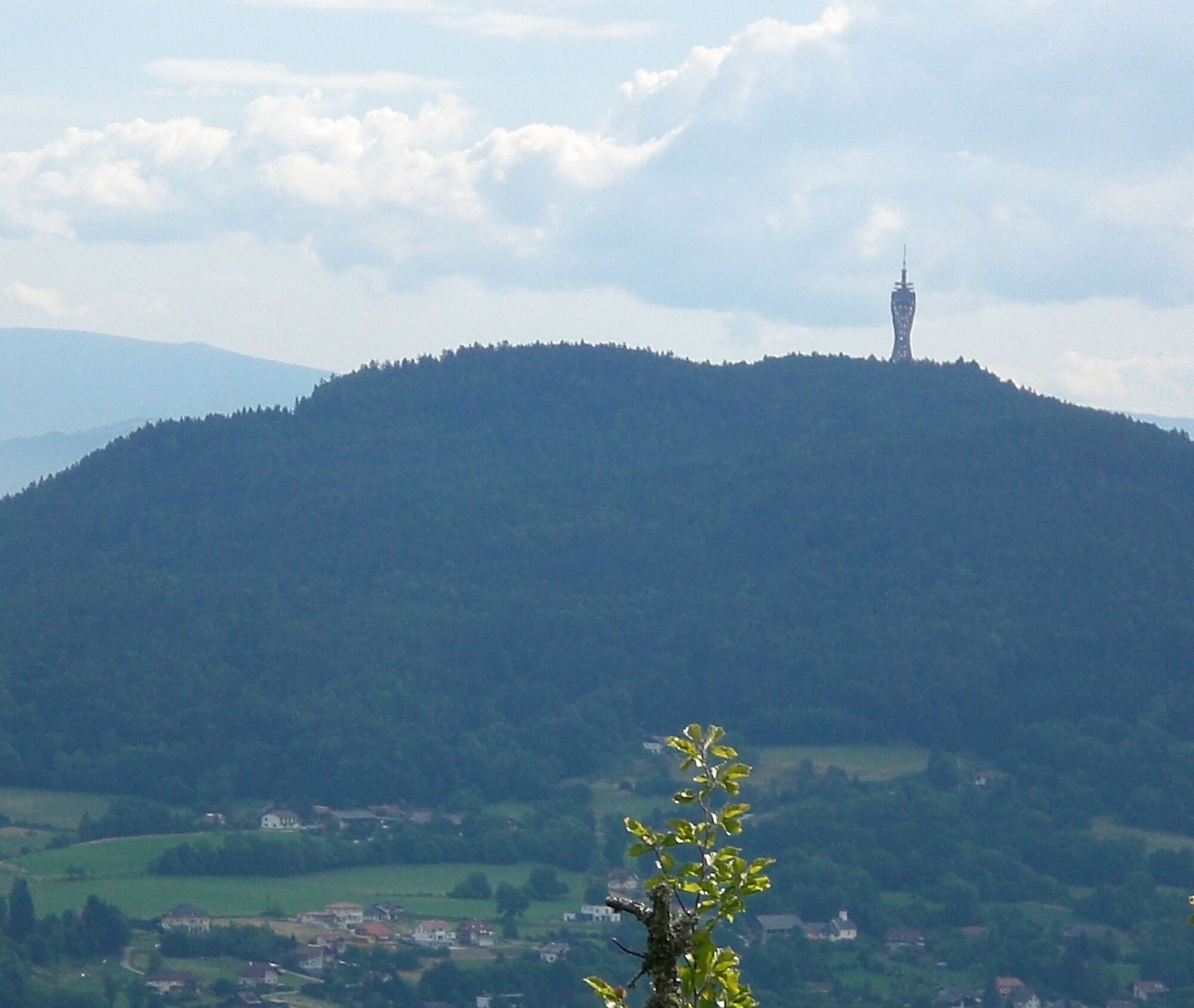
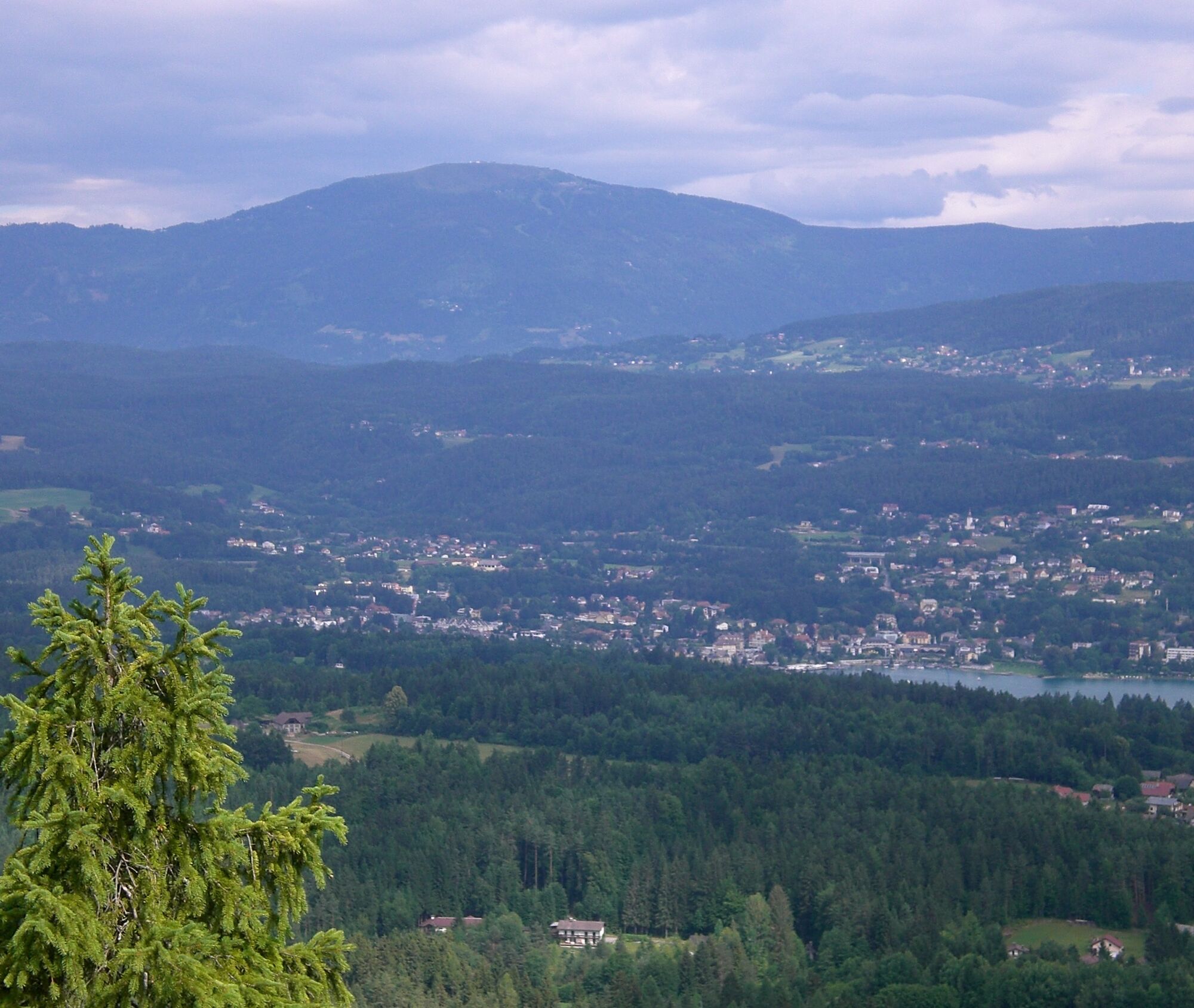
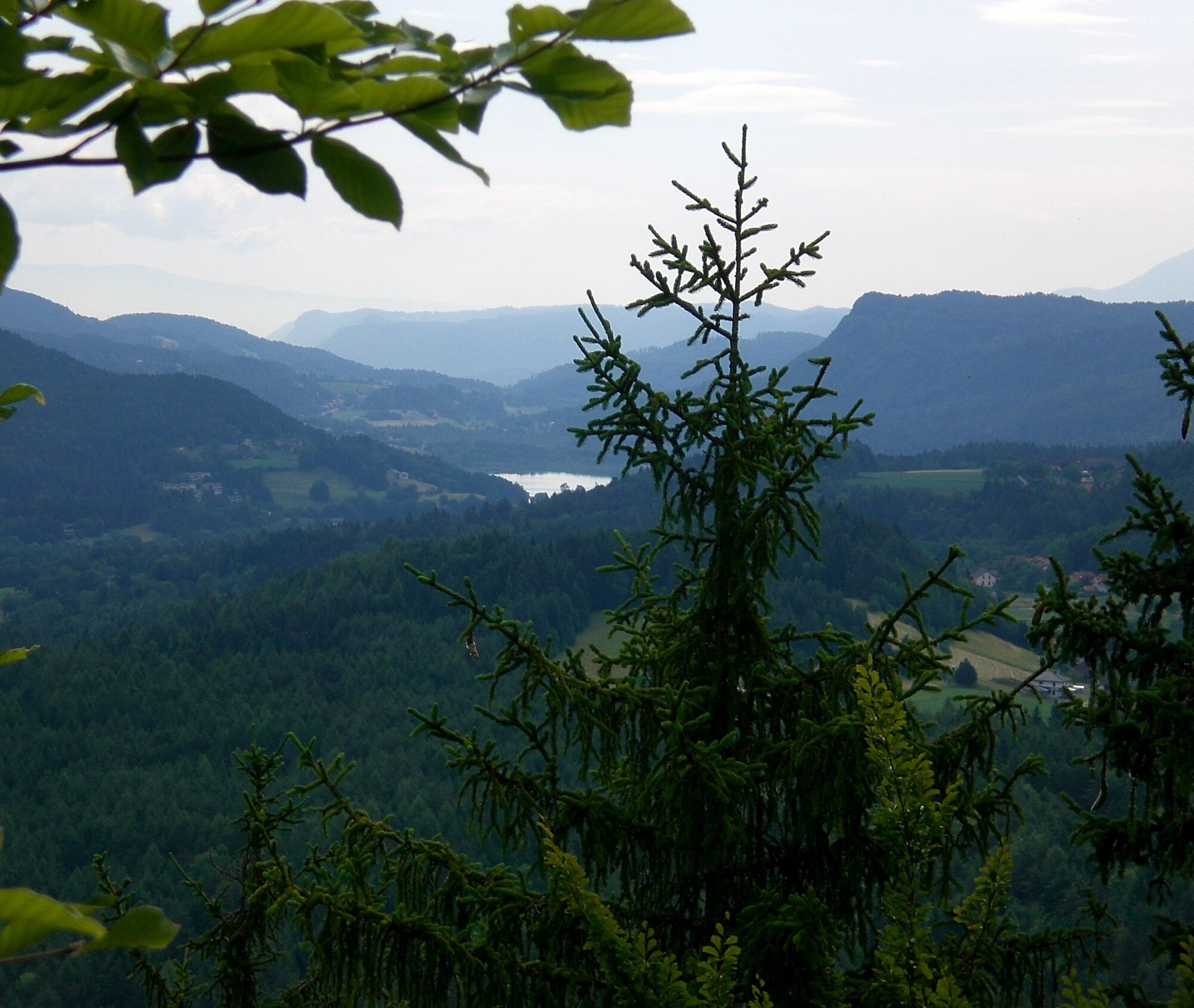
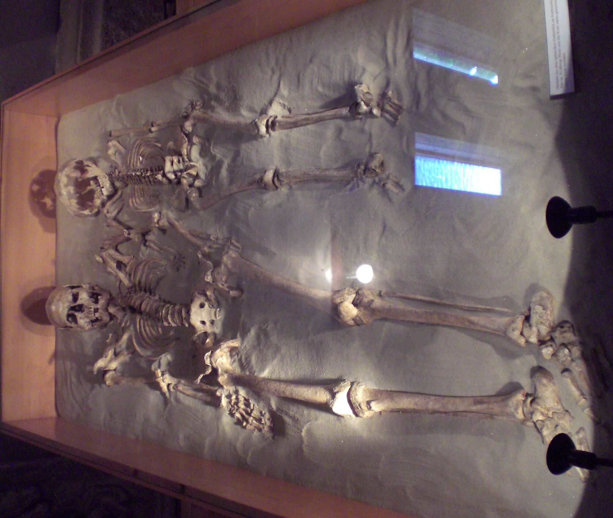
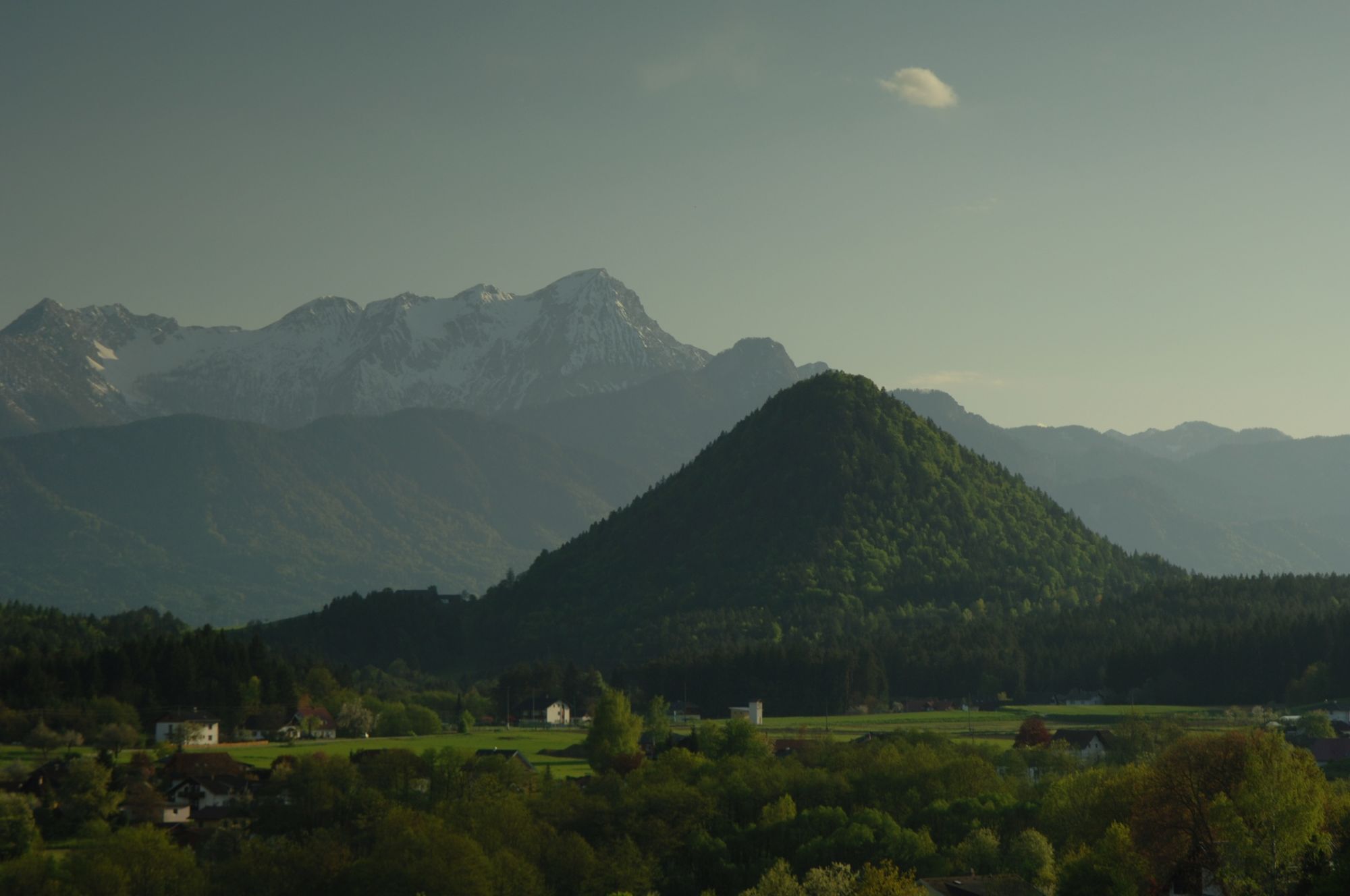
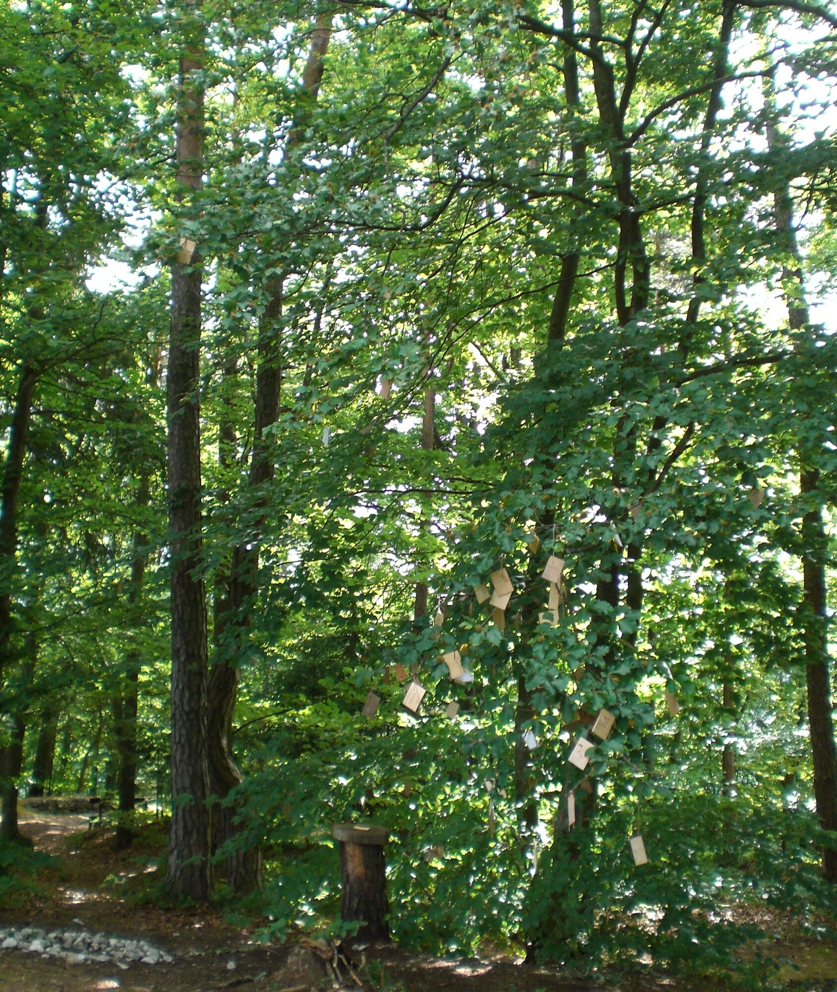
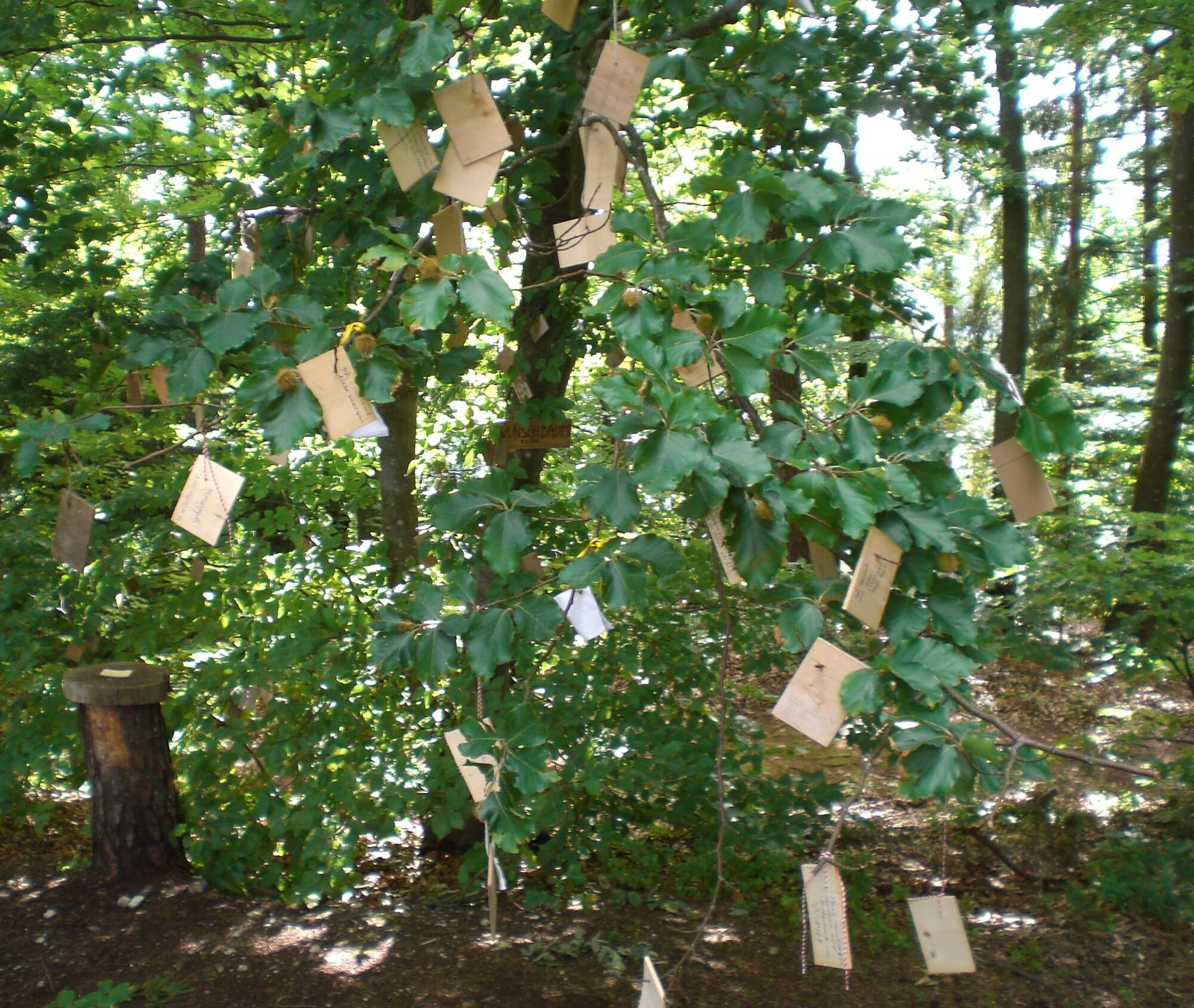
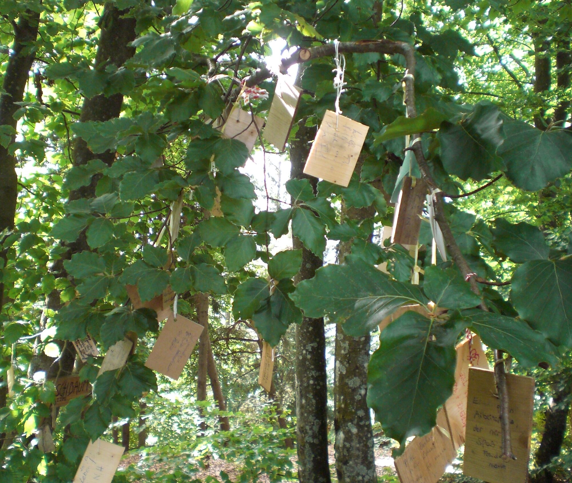
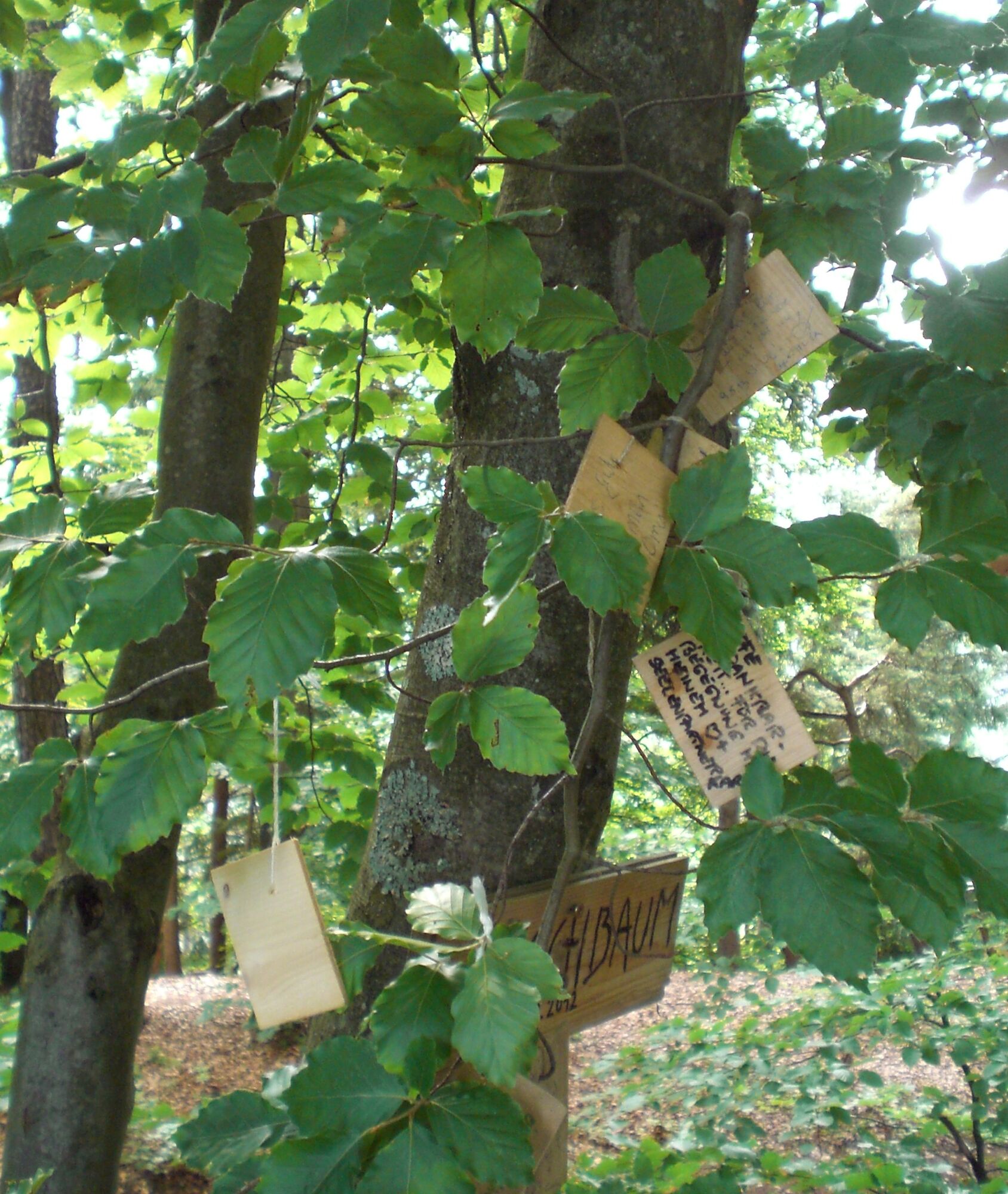
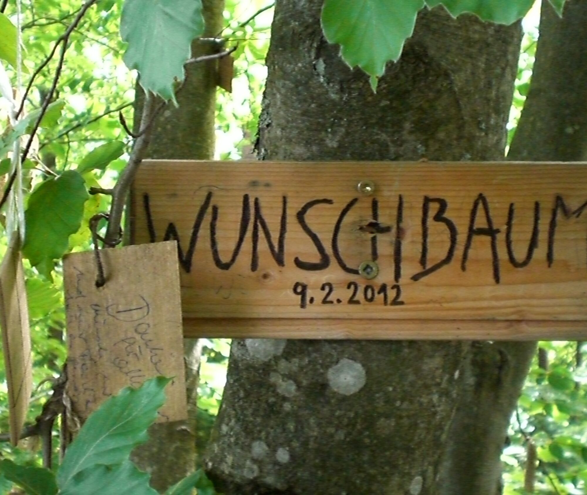
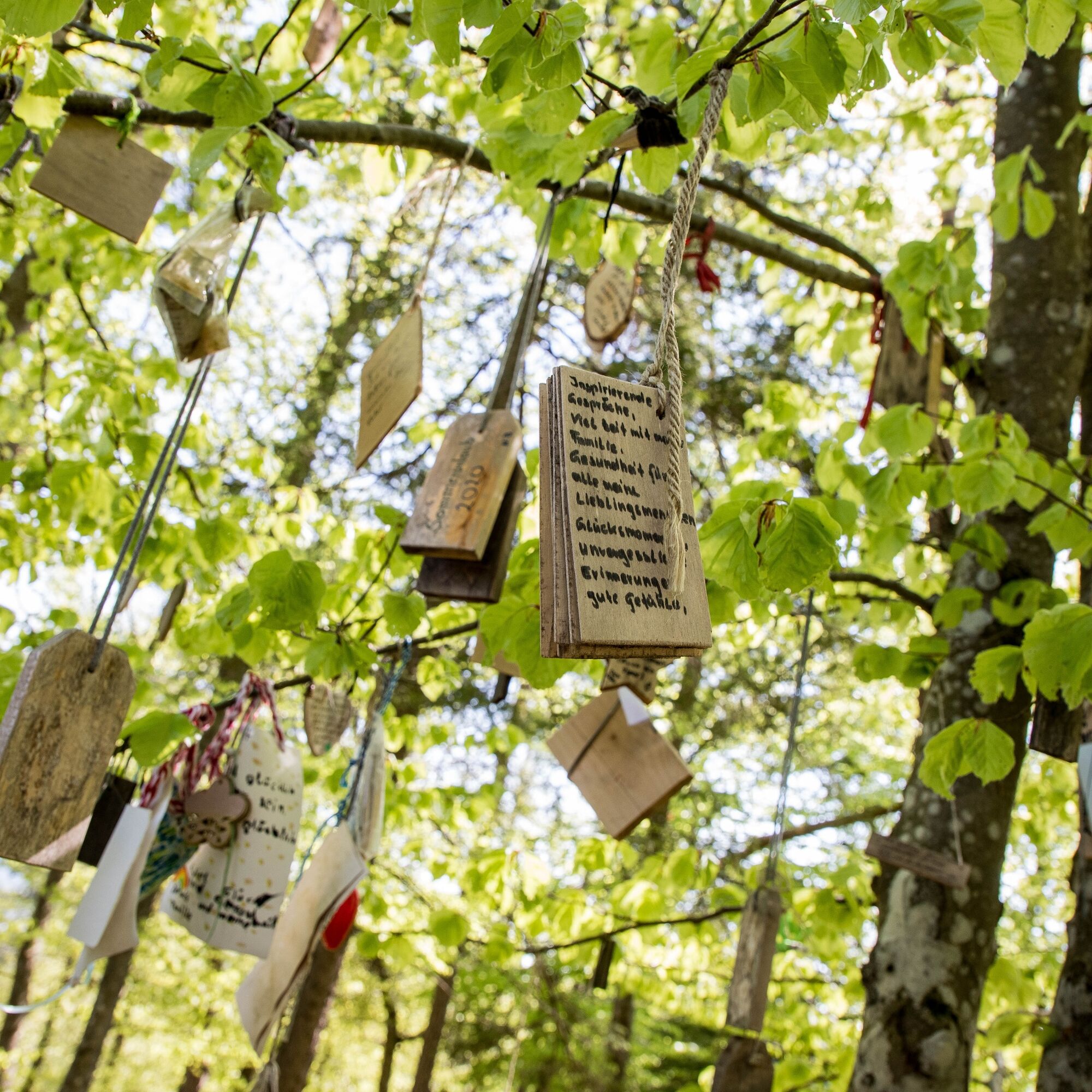
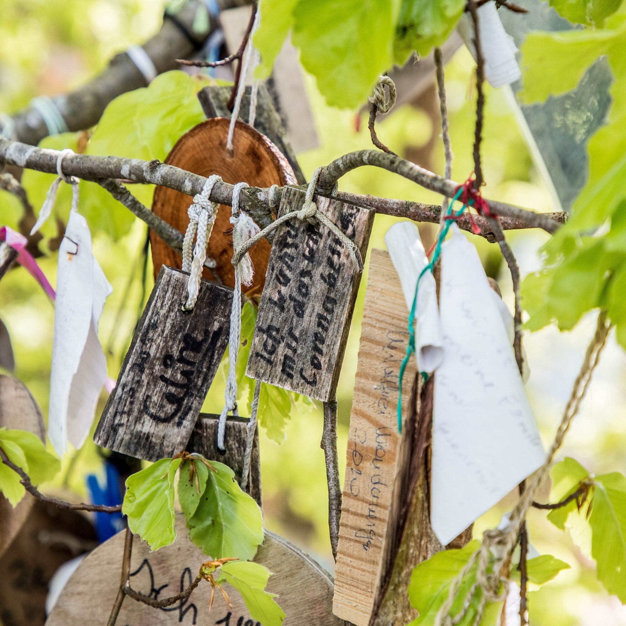
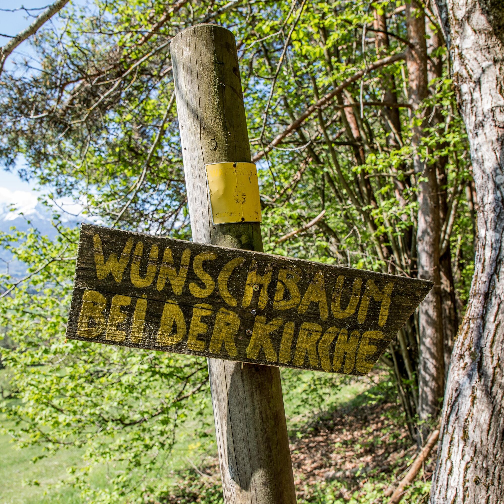
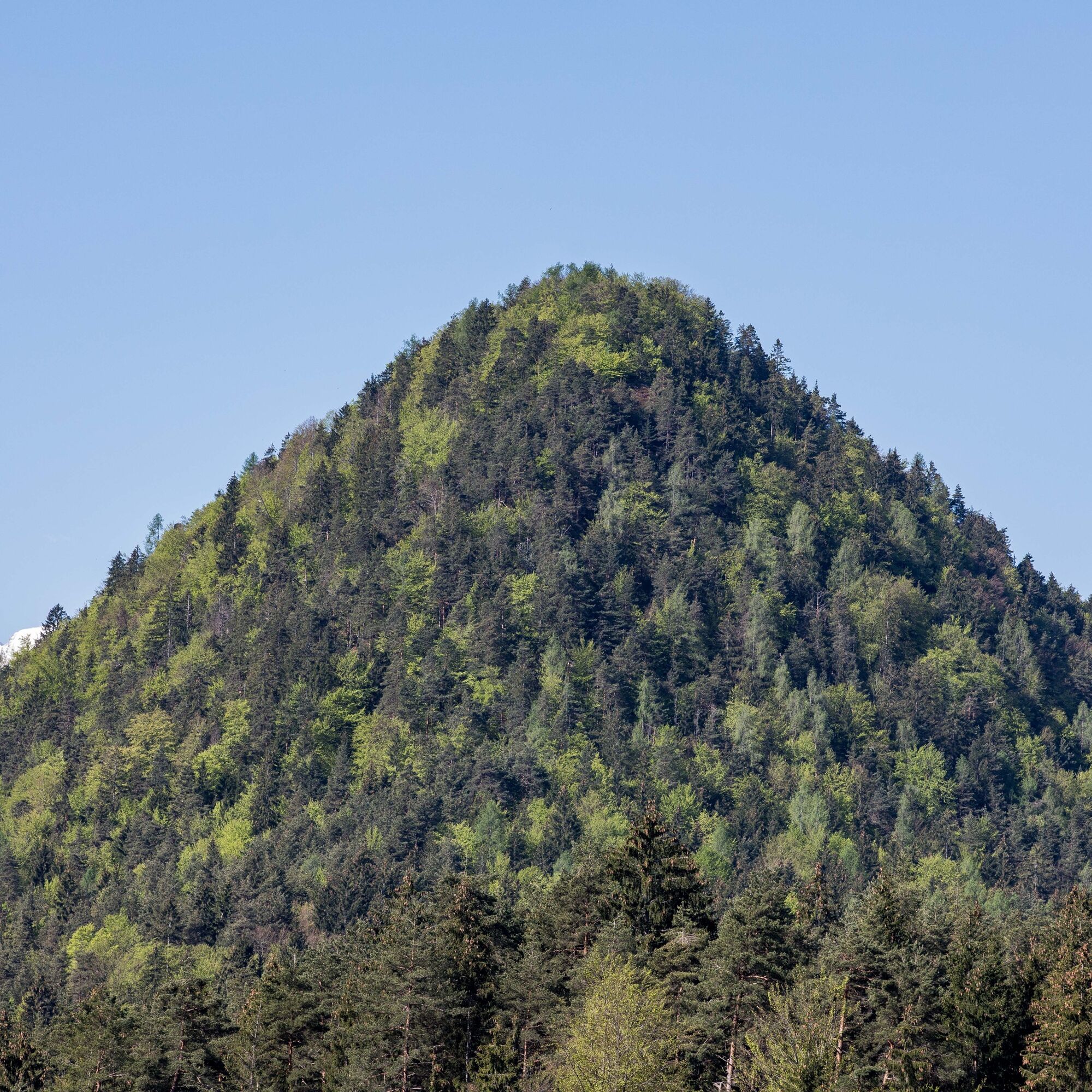

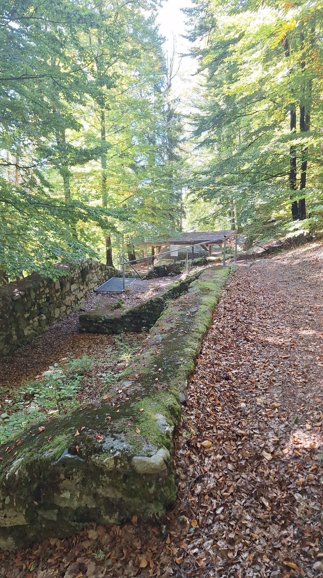
From the municipal office towards Velden. Along route no. 38 through the Schiefling Forest to the Krainz farm beneath the Kathreinkogel. Ascent to the Kogel – along the historical educational trail up to the Kathreinkogel (772 m)
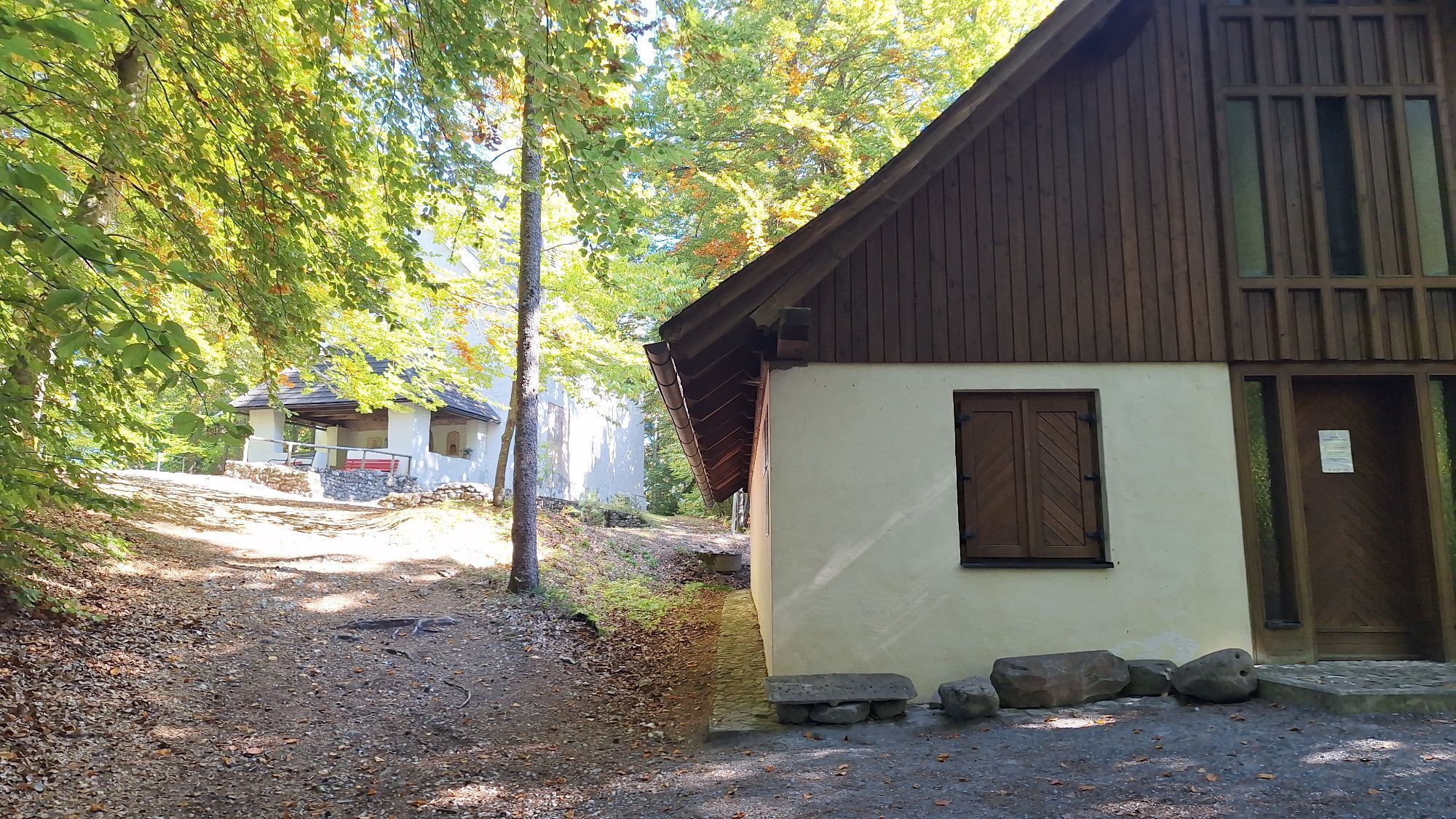
Special features: House of Archaeology – the exhibition room features exhibits from the excavations on the Kathreinkogel as well as from other excavation sites in Carinthia. Built over a cistern with a capacity of 80,000 liters, the museum provides informative details about past times. The uncovered settlement is currently considered the oldest excavated settlement in the entire Eastern Alpine region. The museum is open from June to September.
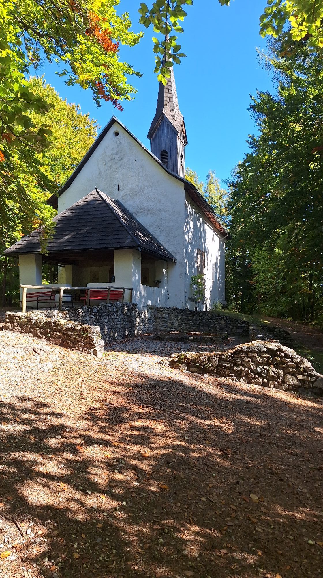
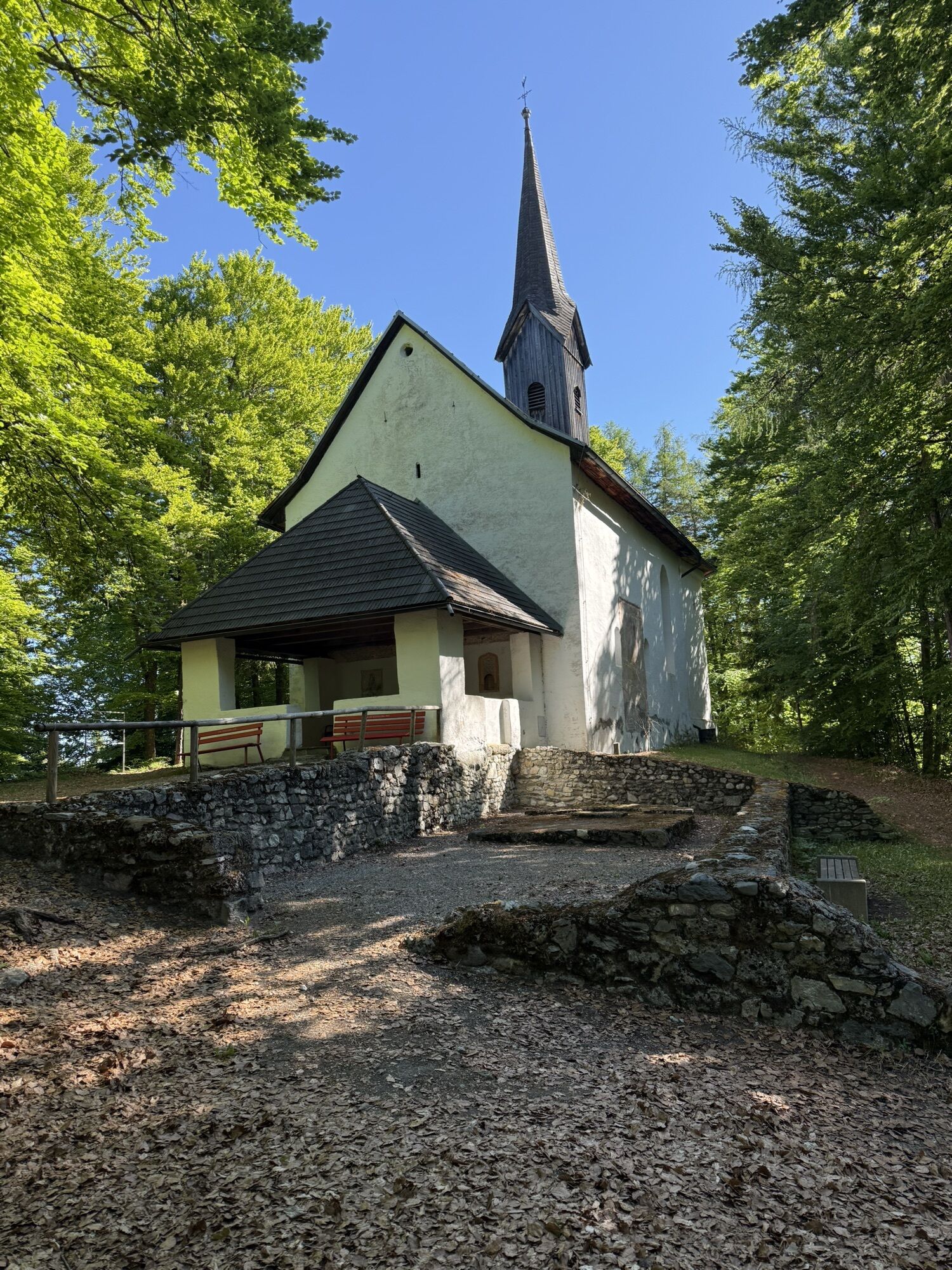
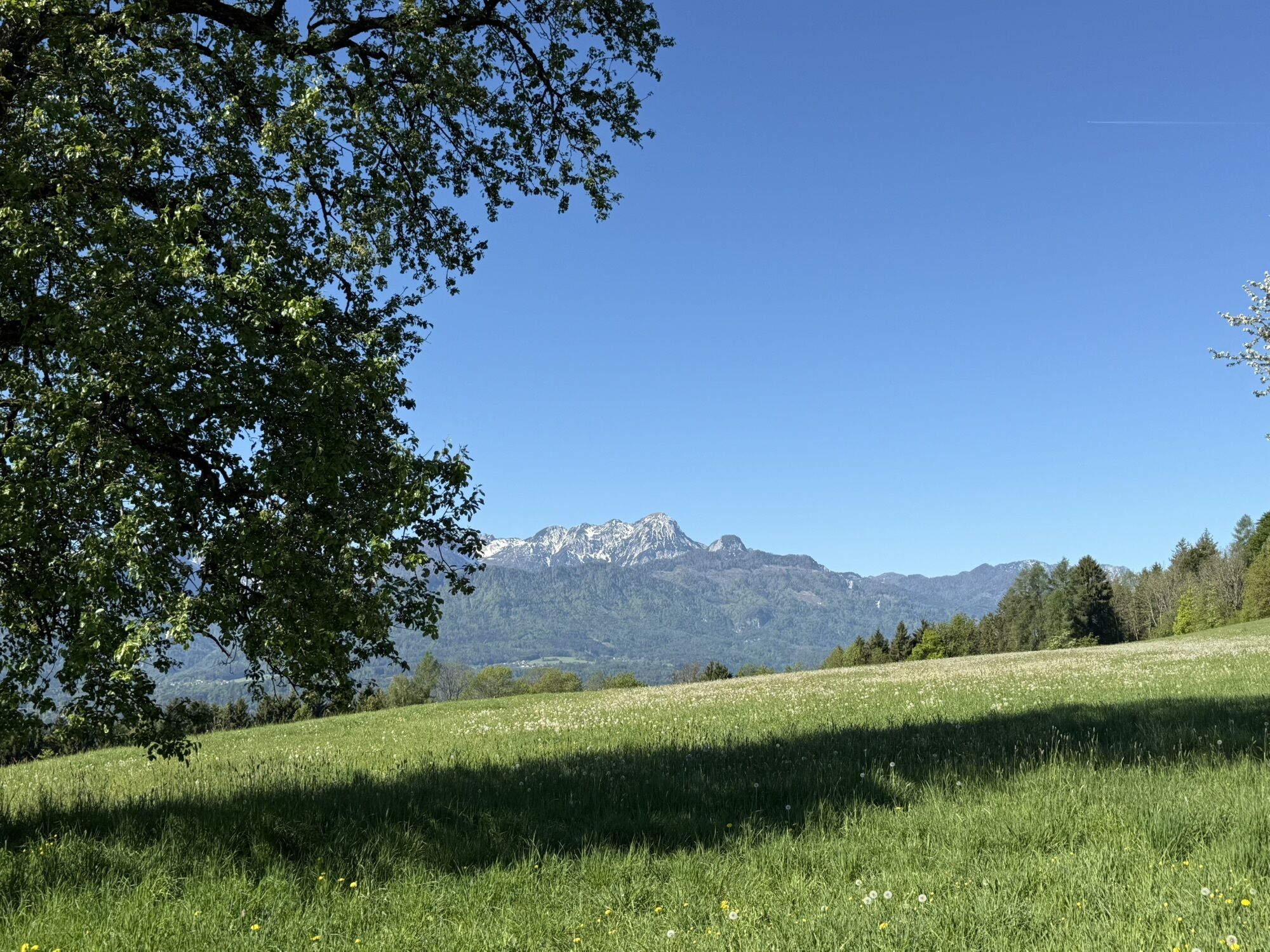
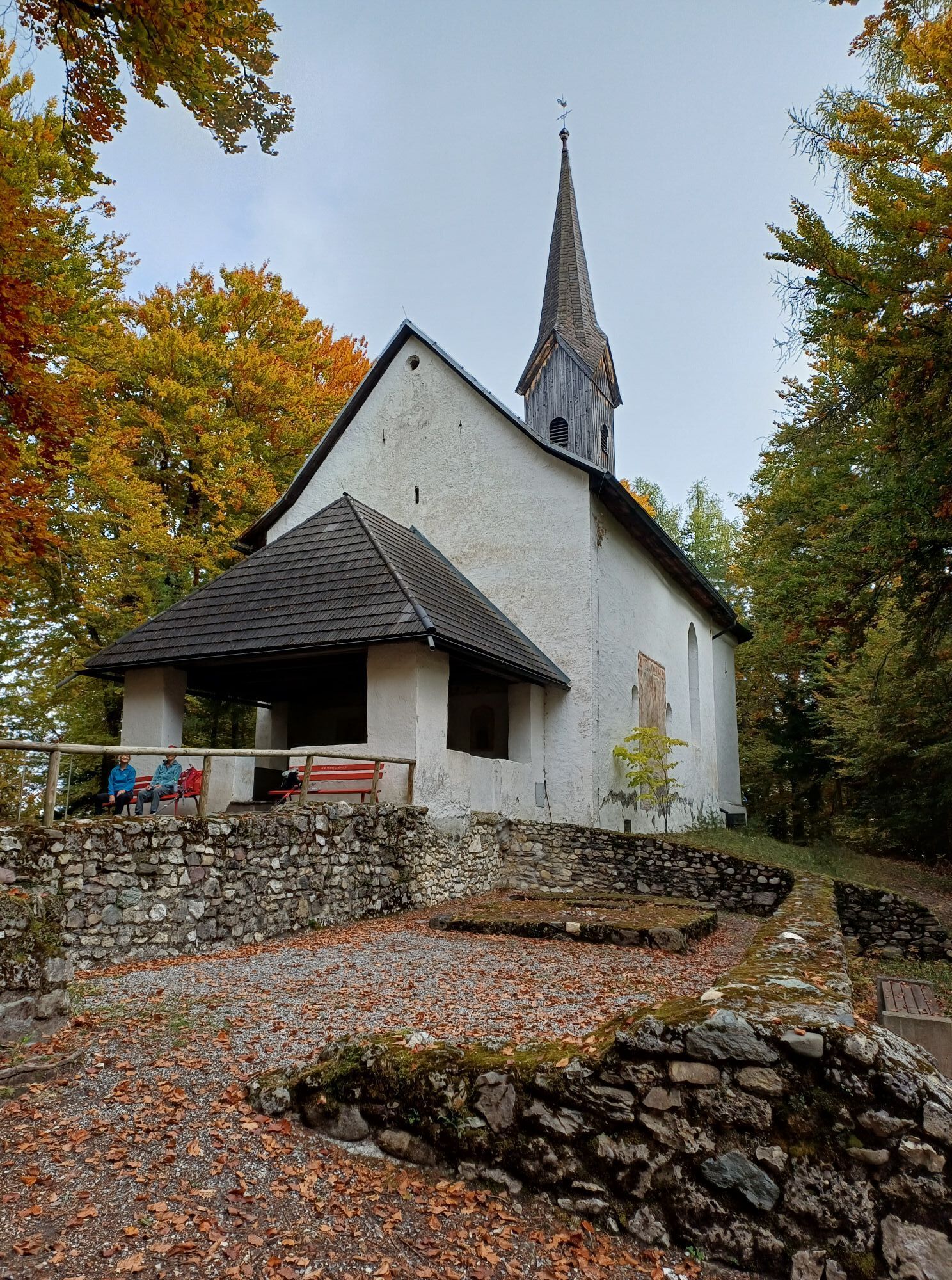
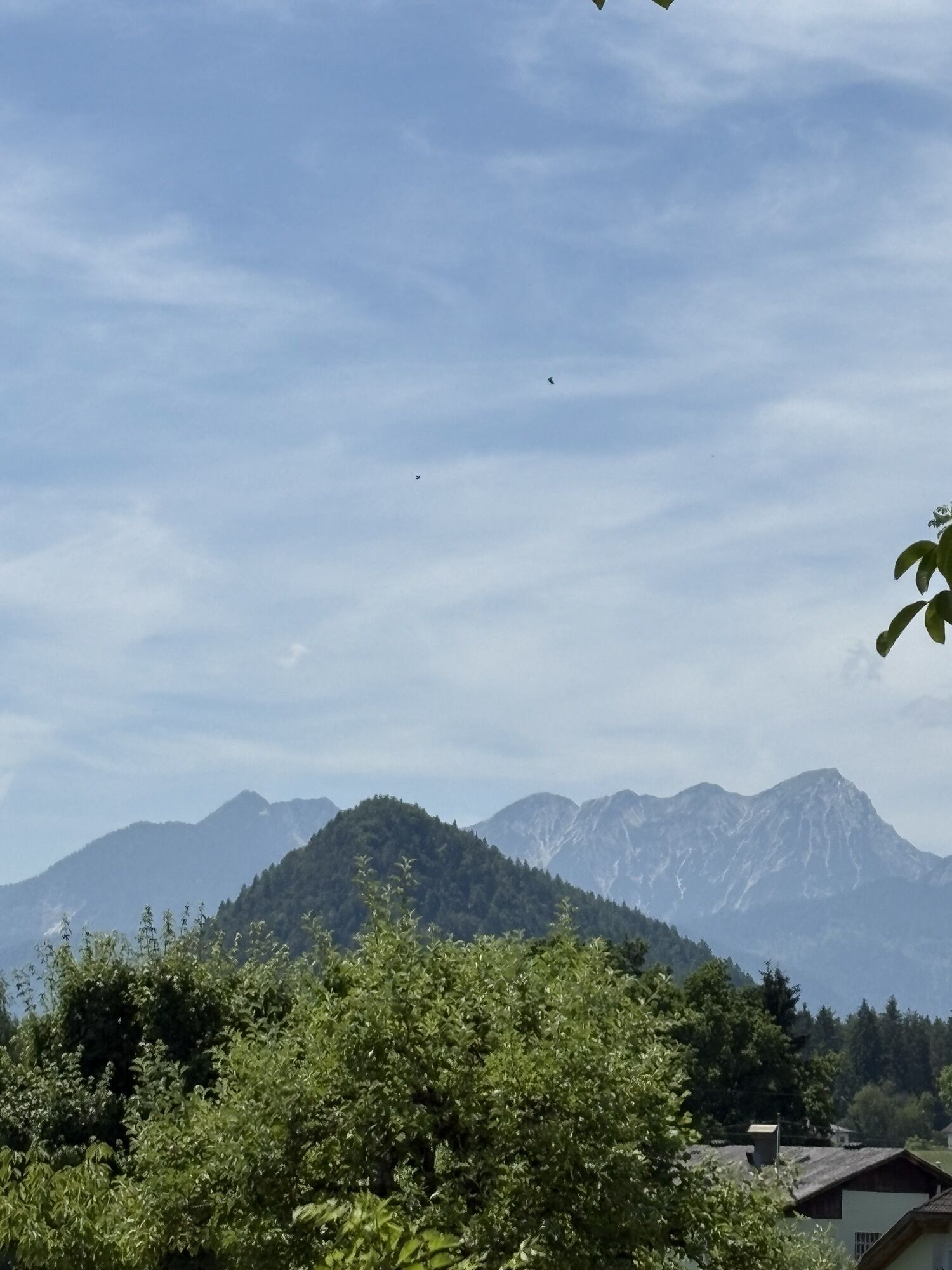
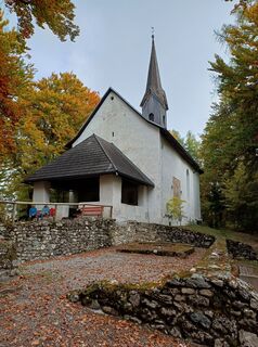
On the rocky cone stands the filial church dedicated to St. Catherine. The single-nave building, dating from the Romanesque period with a late Gothic choir and rib vault, was first documented in 1385. From here, there is a magnificent view of the Wörthersee and the Rosental valley.
Then back down to the Krainz–Maierhofer farm
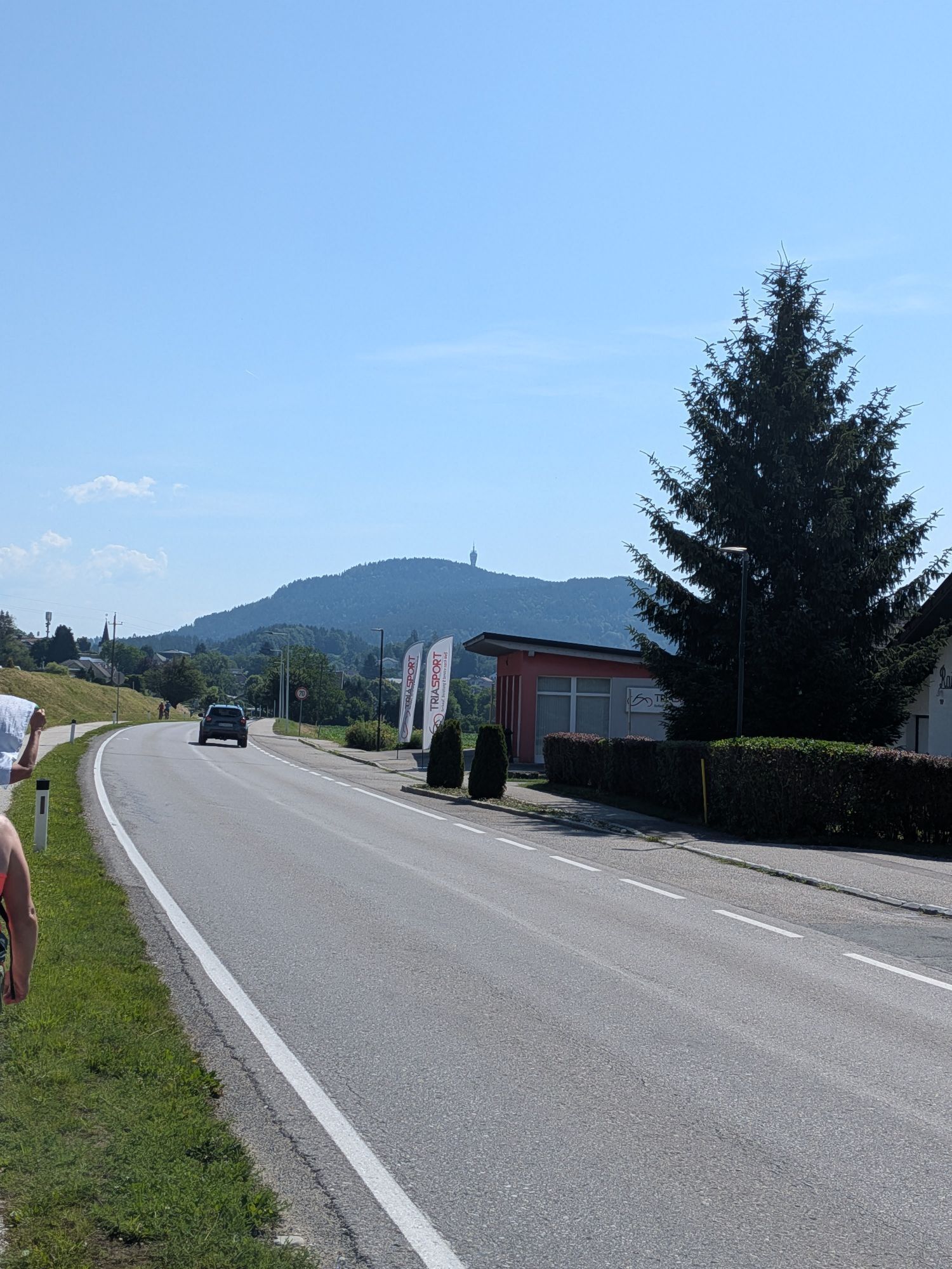
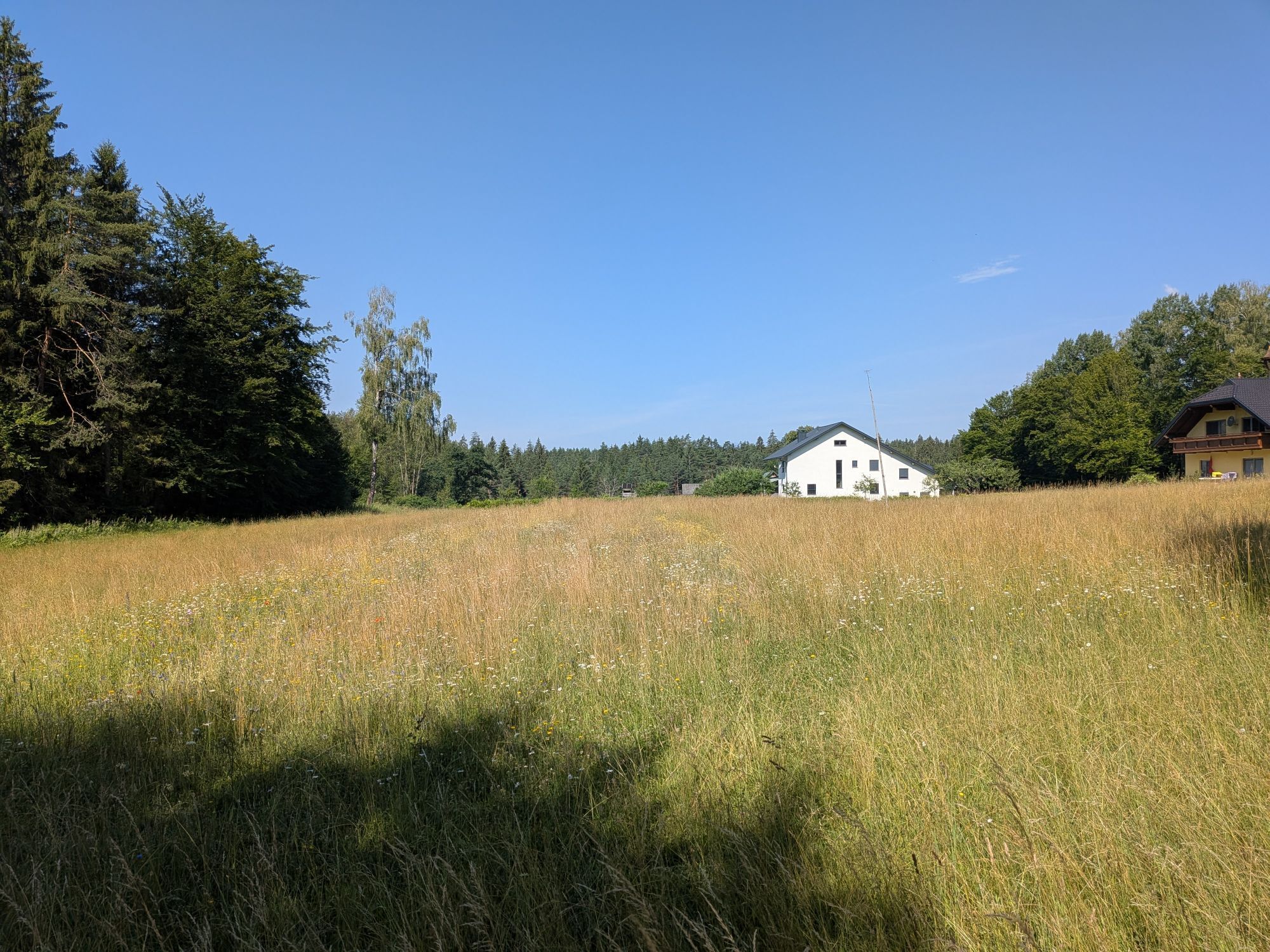
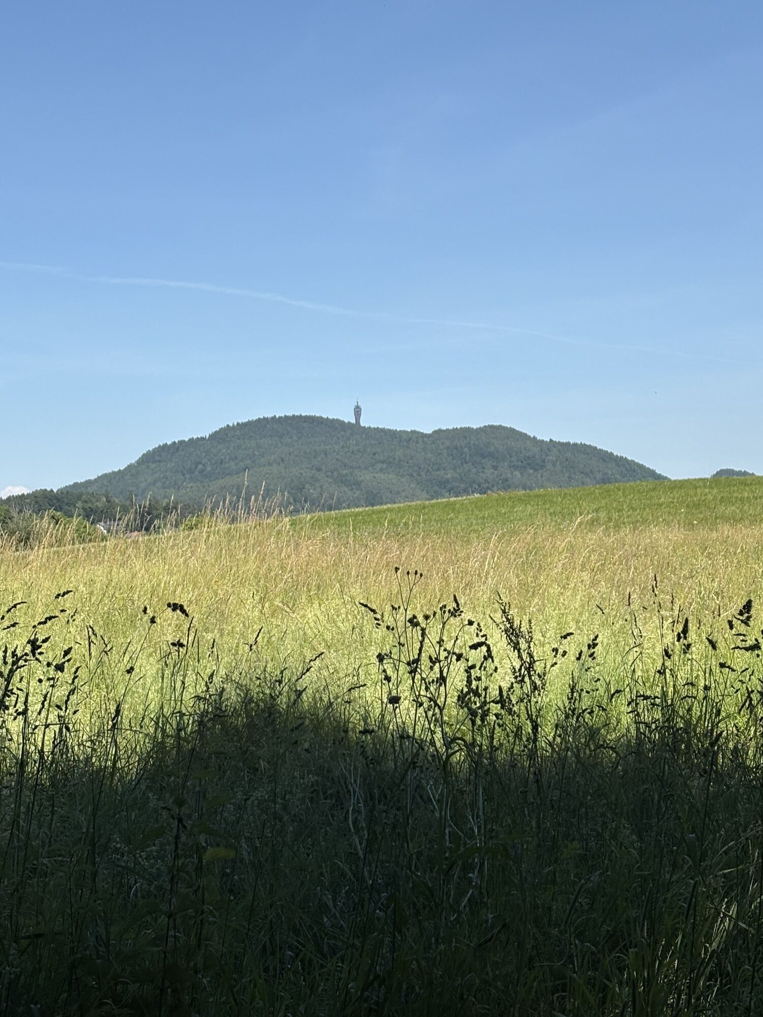
Continue along route no. 5 B (possibility to stop at the Ramplercenter) past the quarry – through meadow and forest landscape – to the village of Aich – from here along route no. 6 A – through the Schiefling Forest – to the junction 6a 38 – along route no. 38 – back to the starting point.
On the L5160 from Velden or Klagenfurt to Schiefling am Wörthersee
Parking lot at the municipal office (Pyramidenkogelstraße 150)

Webové kamery z prohlídky
-
Aussichtsturm Pyramidenkogel
-
Parkhotel Pörtschach
-
Velden - Bootswerft Schmalzl
-
Hotel Schloss Seefels
-
Wörthersee / Saag
-
Aussichtsturm Pyramidenkogel
-
Velden - Barry Memle
-
Velden - Barry Memle
-
Velden Kurpark / Karawankenplatz
-
Strandpark Velden
-
Bucht Velden / Bootswerft Schmalzl
-
Hotel Post Wrann
-
Falkensteiner Schlosshotel Velden
-
Werzers Hotel Resort
-
Kathreinkogel - Schiefling am Wörthersee

Aktivity na trase


Oblíbené prohlídky v okolí
-
4.4
Mittagskogel - Rundwanderung
heavyTuristika 14.5 km -
4.2
MTB-Tour zur Klagenfurter Hütte
středníMountainbike 12.6 km -
5.0
Wörthersee EXTREM
heavyTuristika 60.1 km -
4.6
Hoher Gallin route
středníTuristika 7.09 km -
4.5
Pyramidenkogel path Maria Wörth
středníTuristika 10.8 km -
4.4
Lake Wörthersee Circular Route
středníJízda na kole 41.2 km -
4.4
Finsterbach Waterfalls - Circular route
středníTuristika 3.87 km -
4.8
Schwarzkogel-Runde über Jepzasattel Schwarzkogel, Mallestiger Mittagskogel
středníTuristika 13.4 km -
4.3
Lake circular trail
světloNordic Walking 9.85 km -
4.7
Zillhöhe
středníBěh 7.94 km
Pěší turistika a stopování


Nenechte si ujít nabídky a inspiraci pro vaši příští dovolenou
Vaše e-mailová adresa byl přidán do poštovního seznamu.





