







Krumpendorf long-distance hiking trail
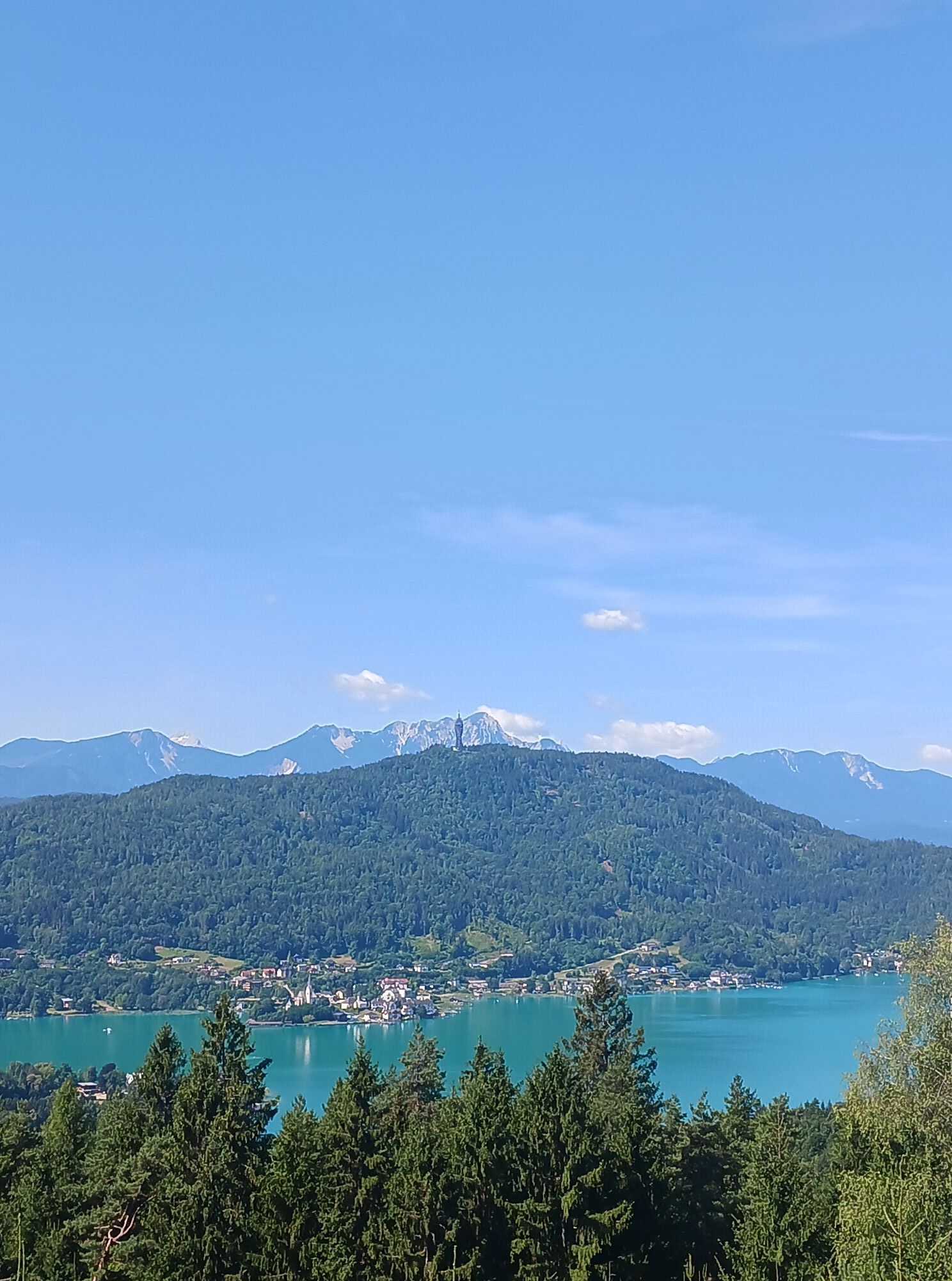
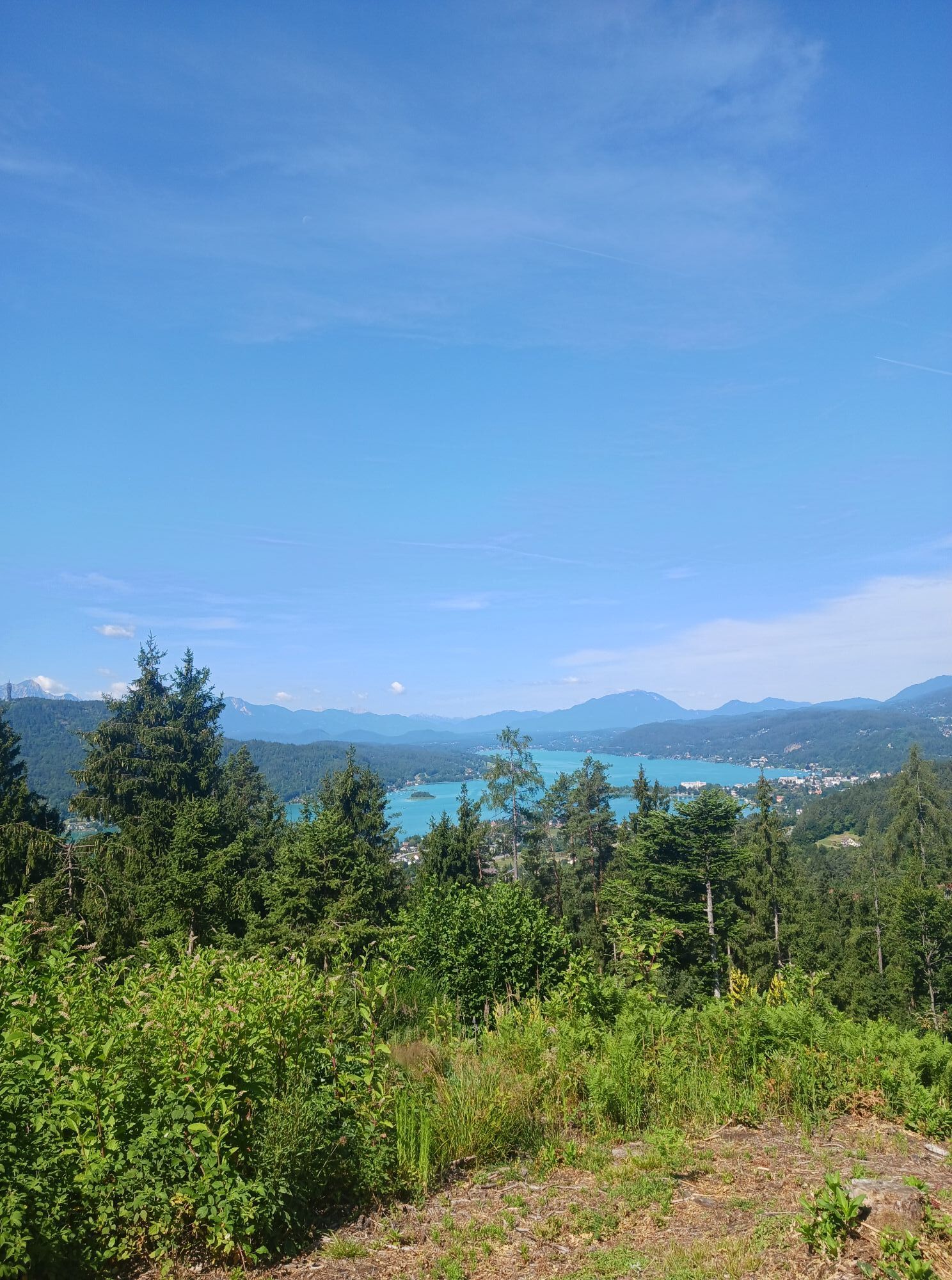
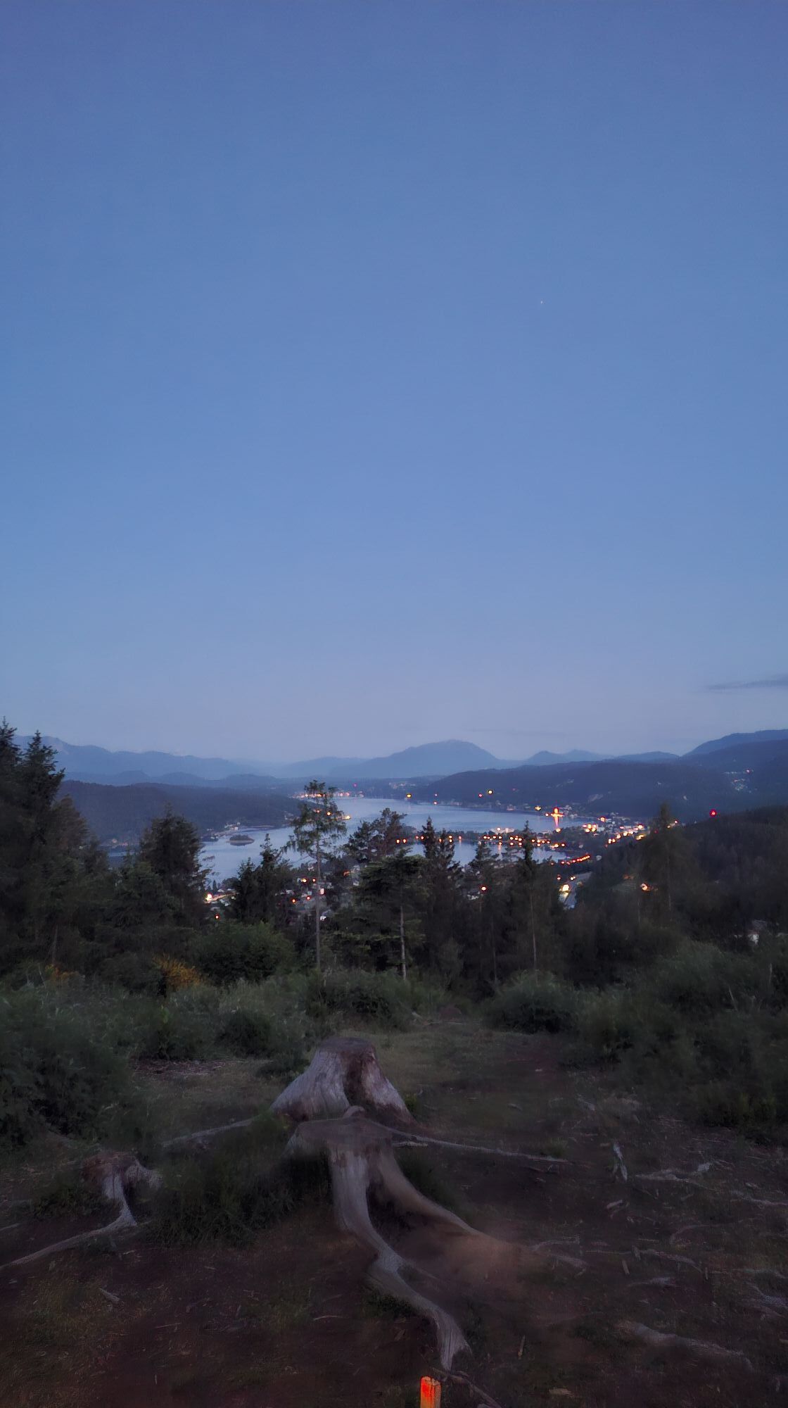
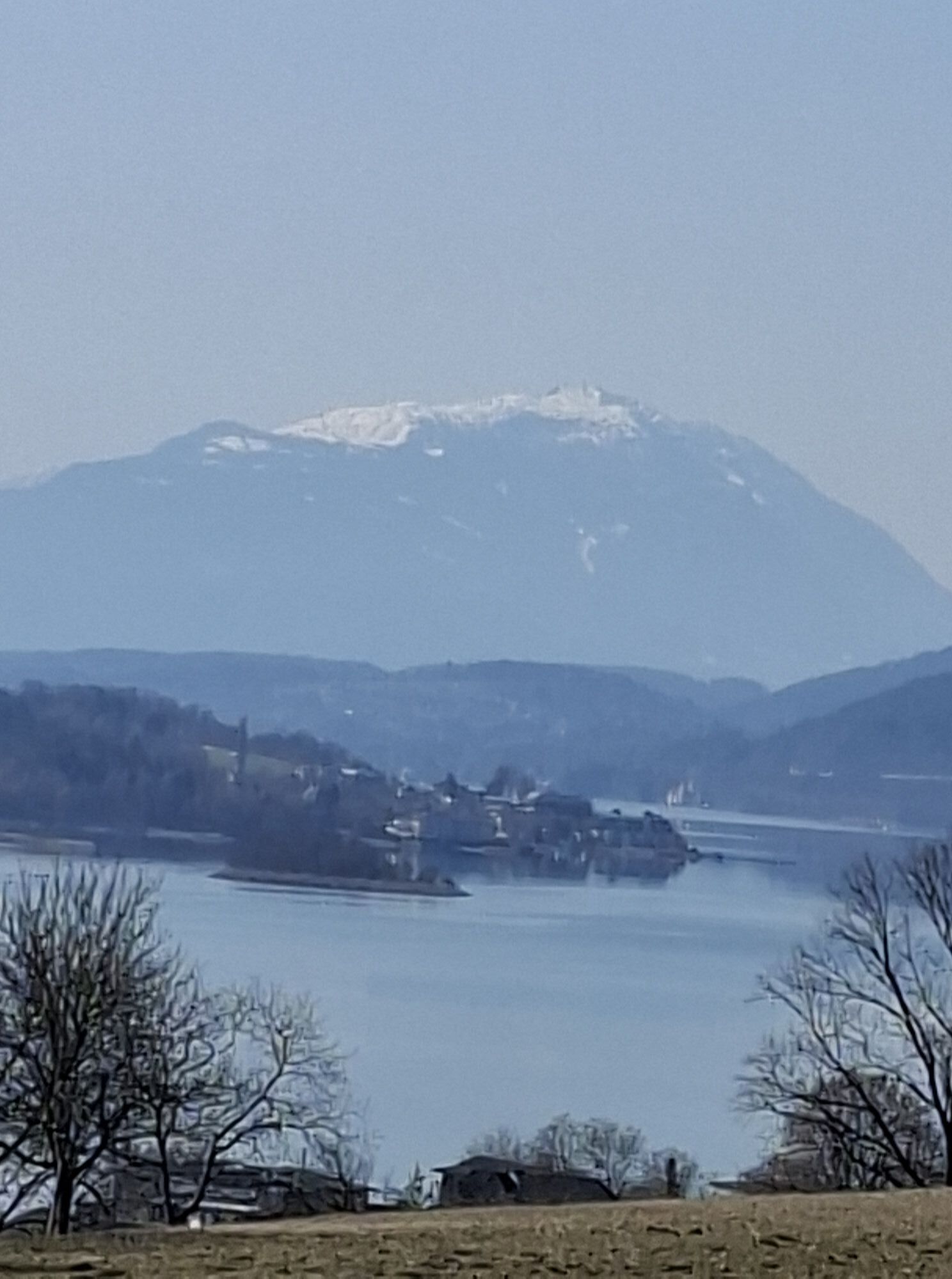
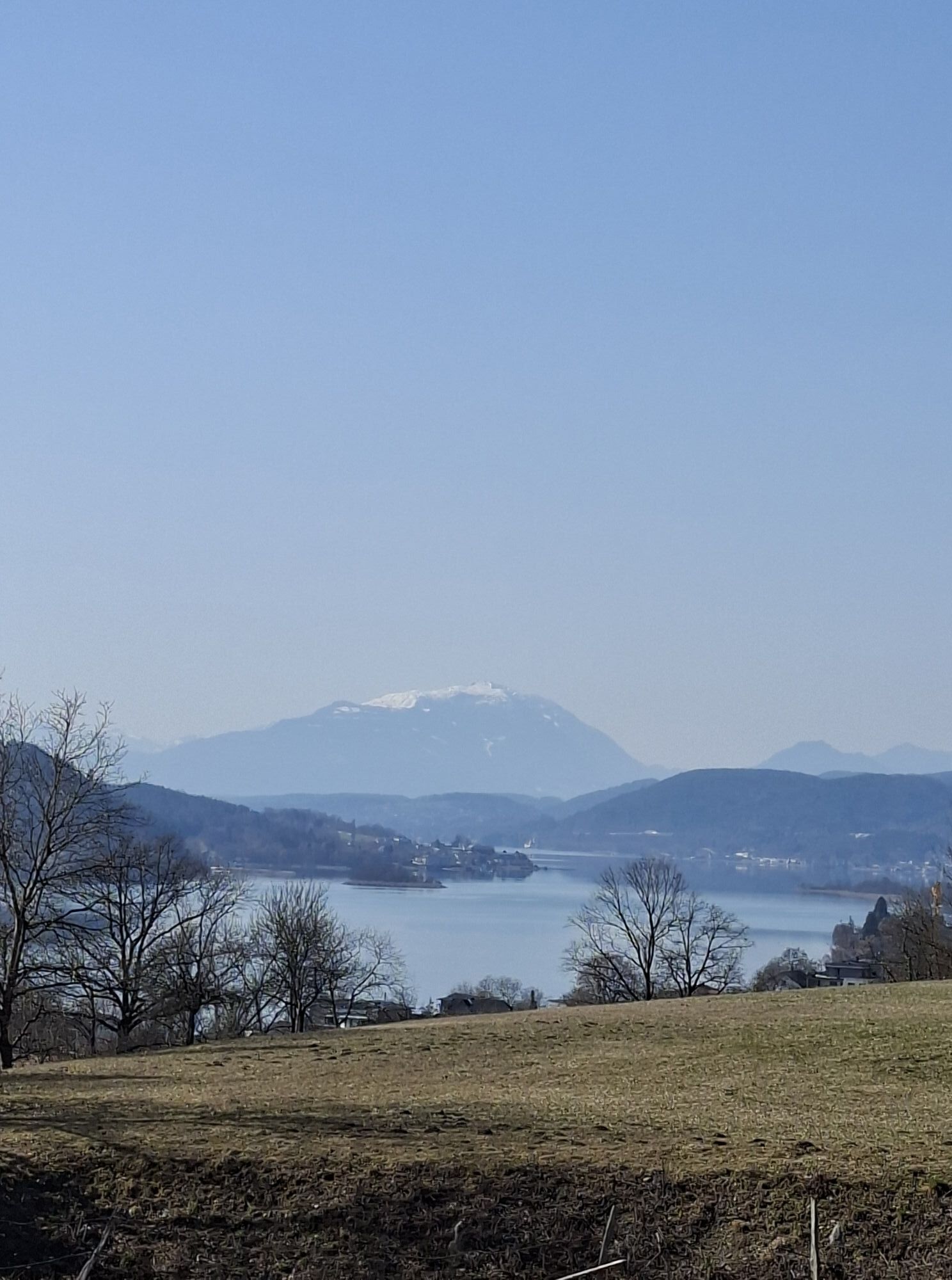
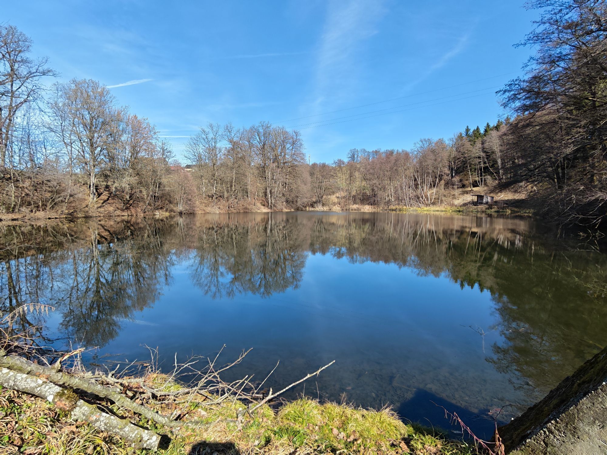
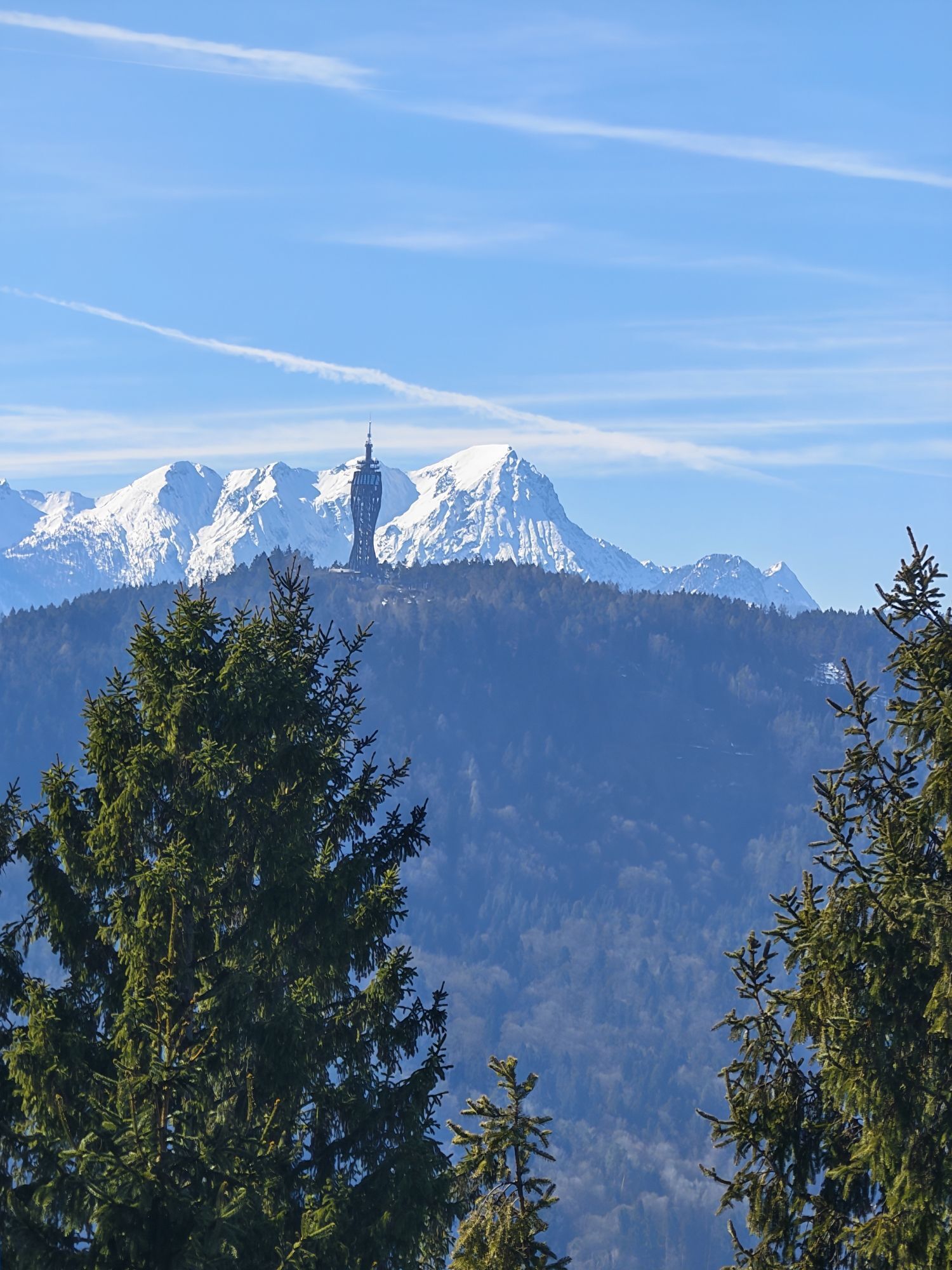
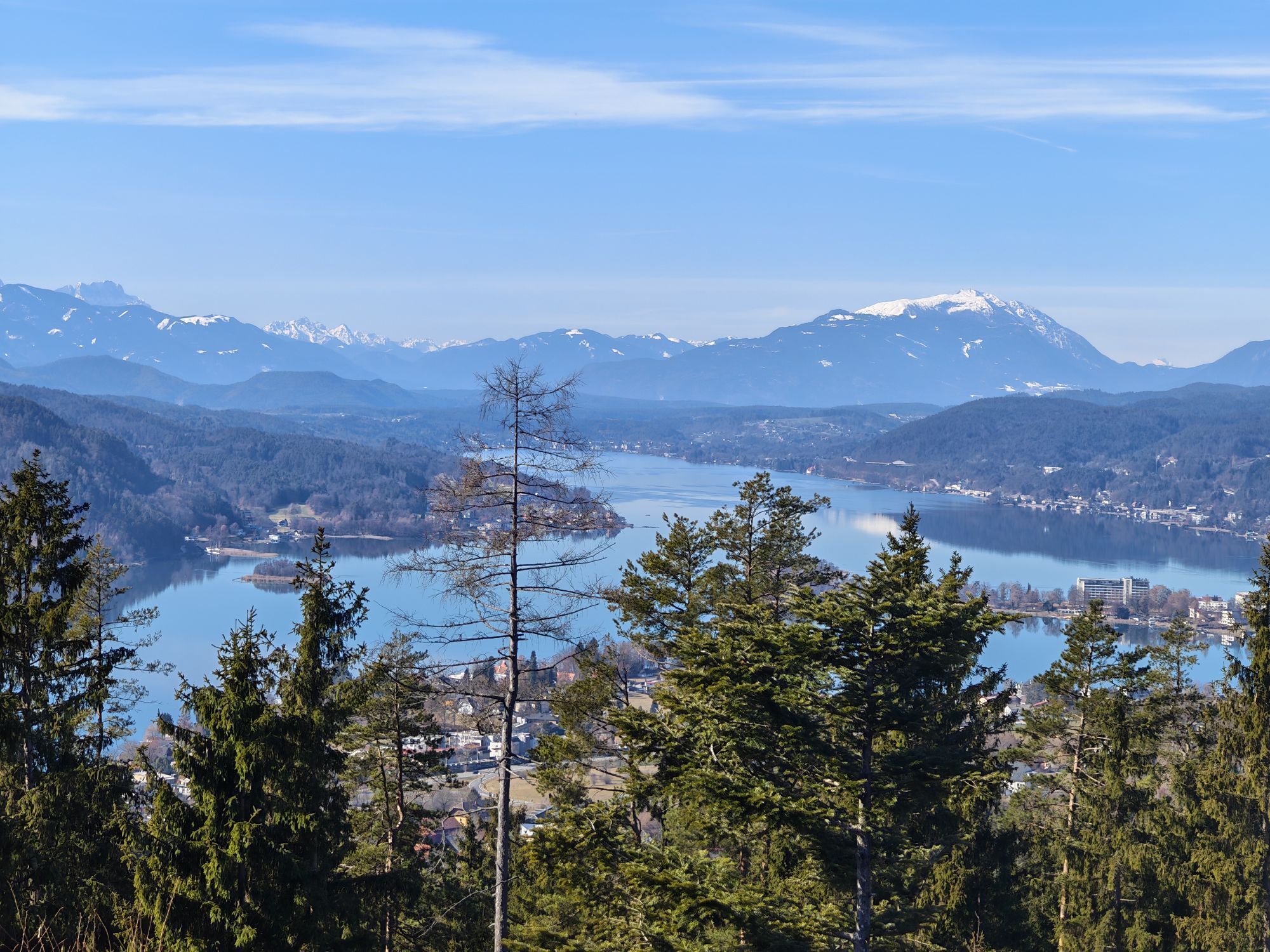
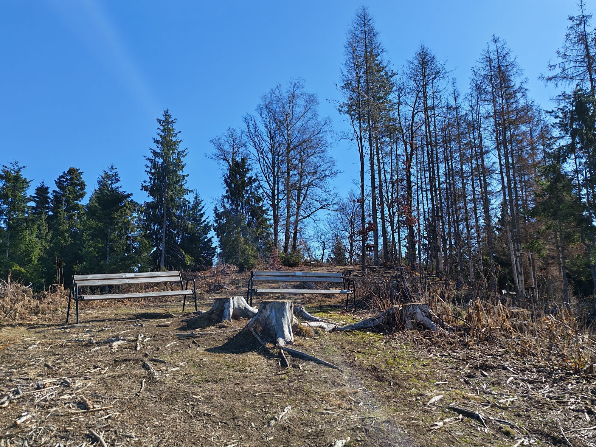
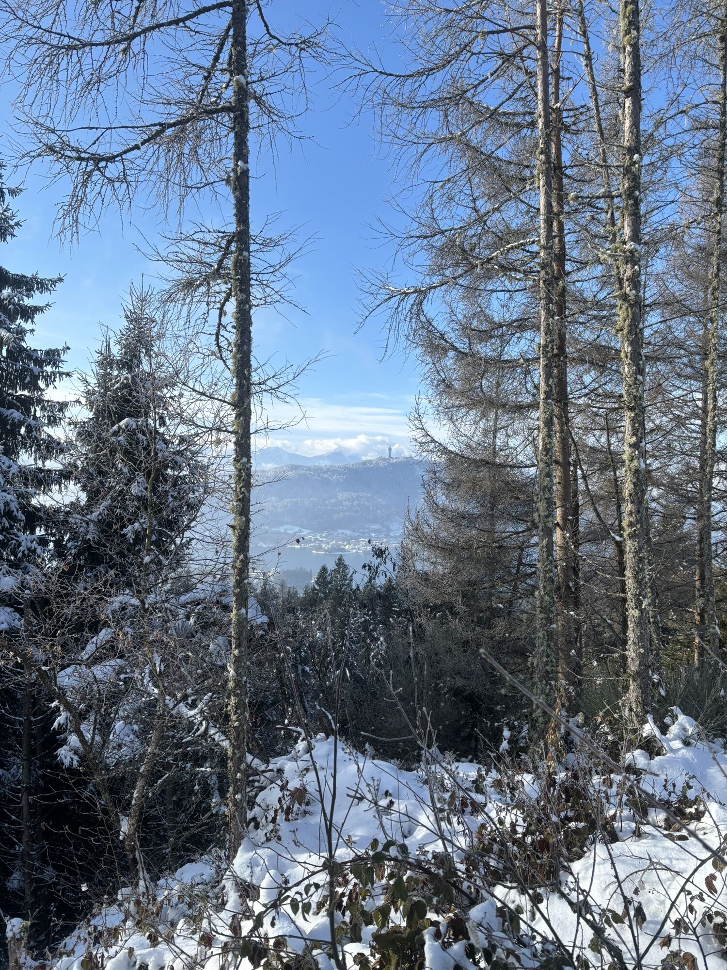
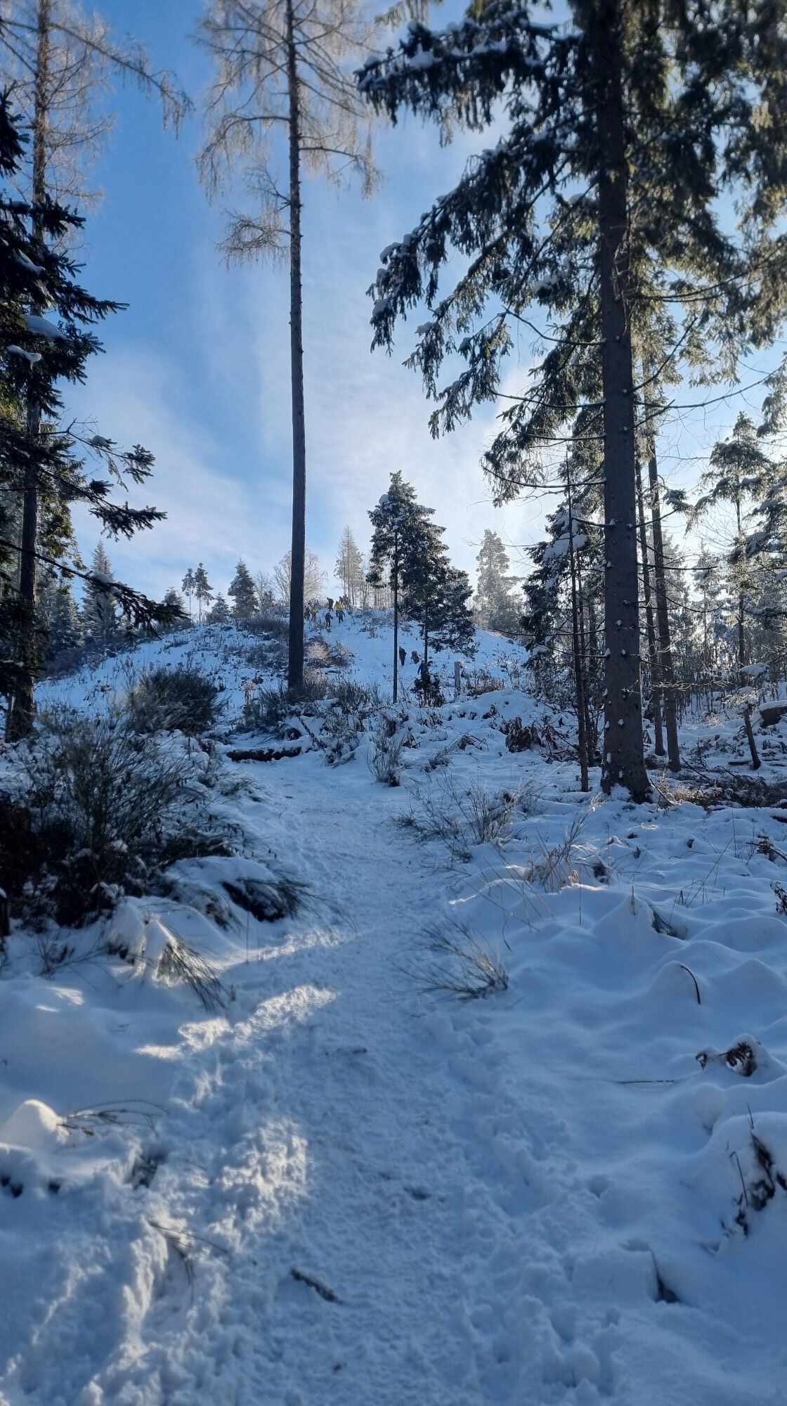
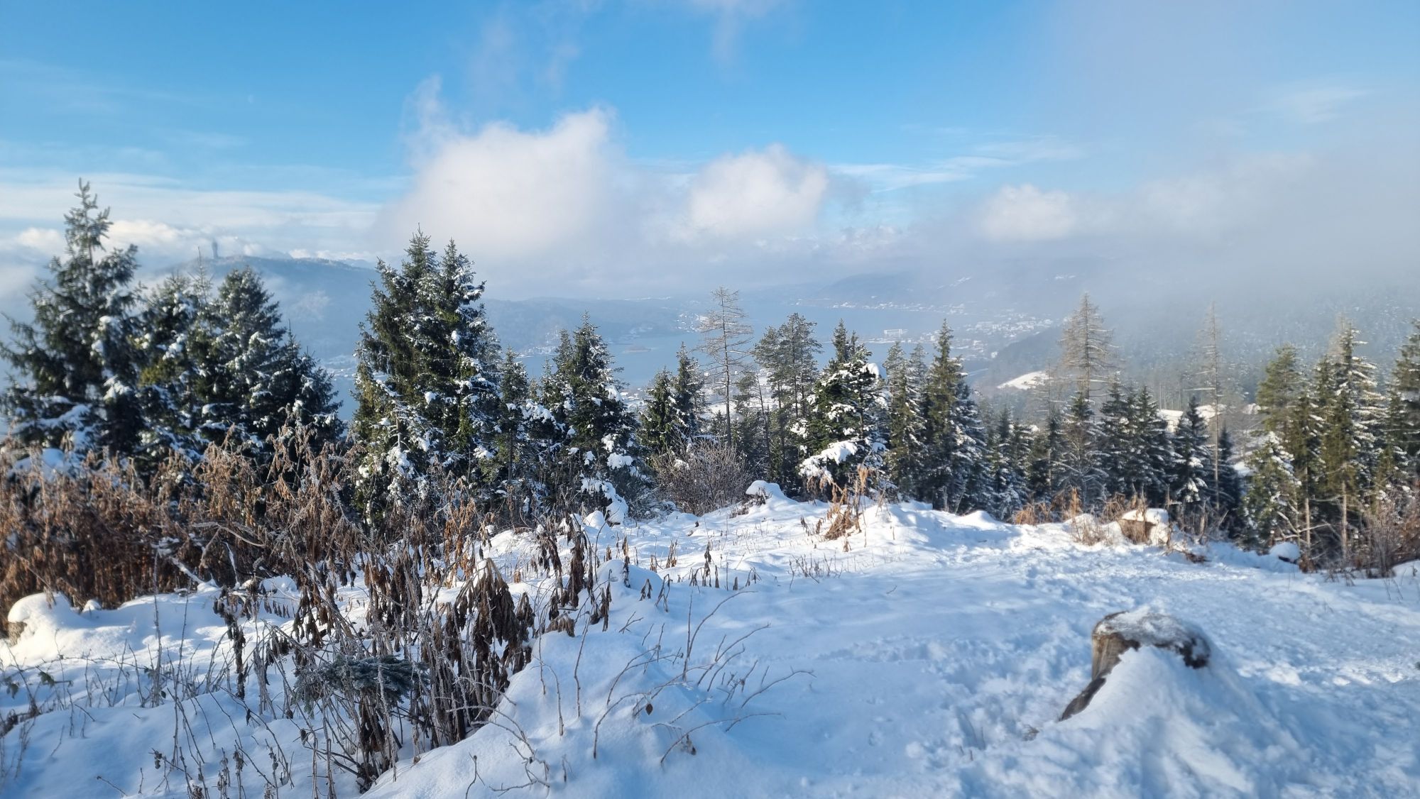
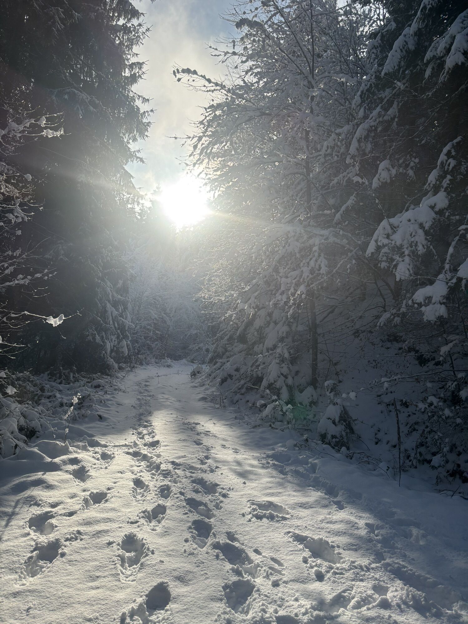
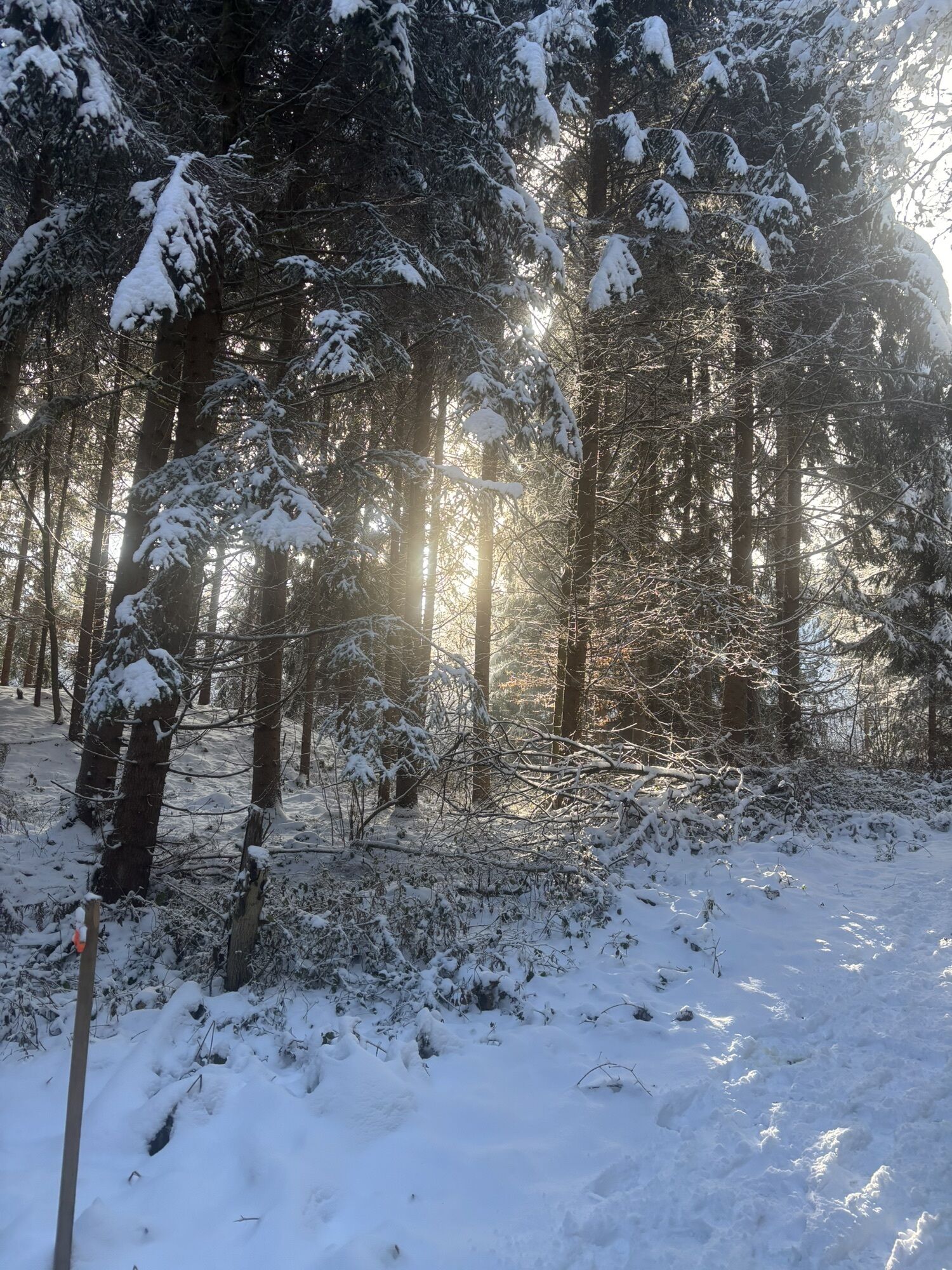
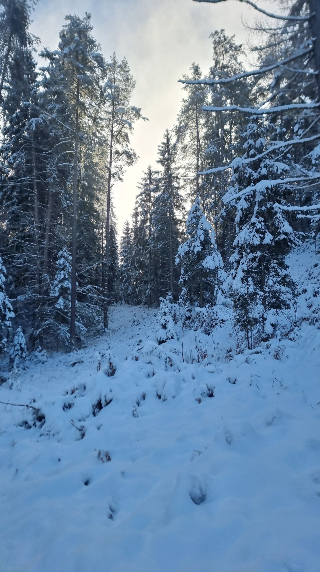
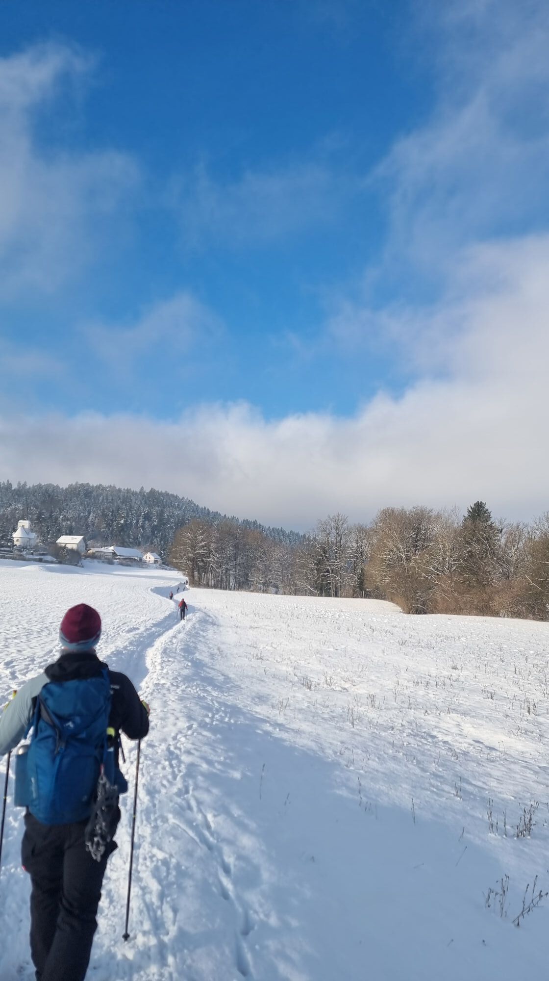
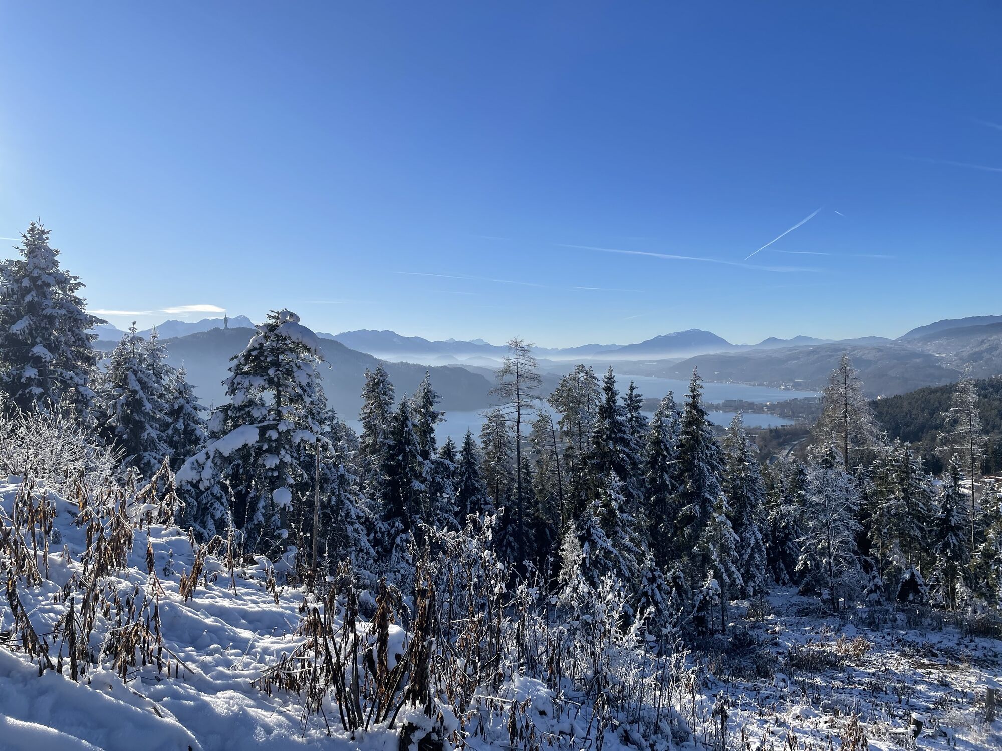
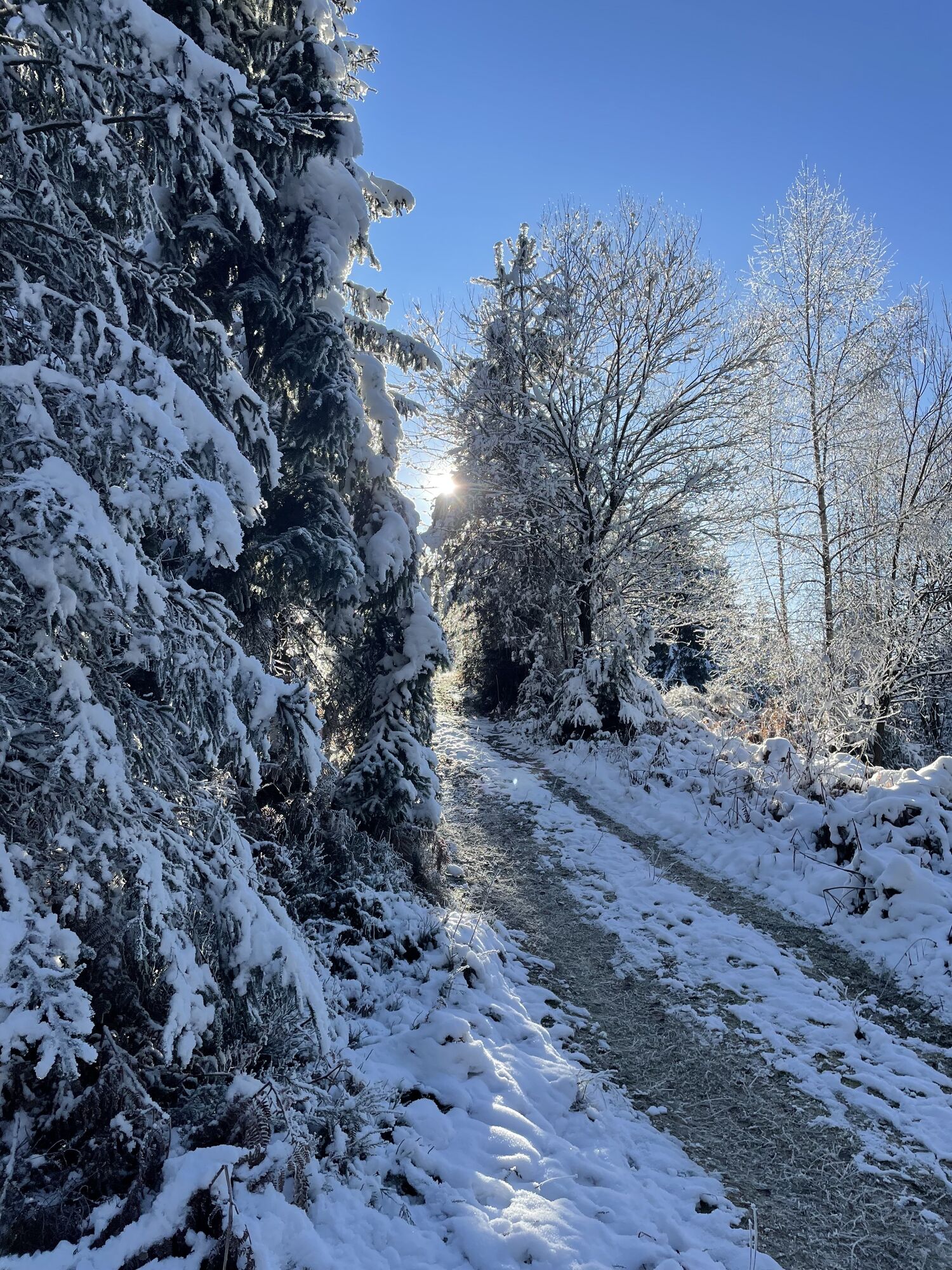
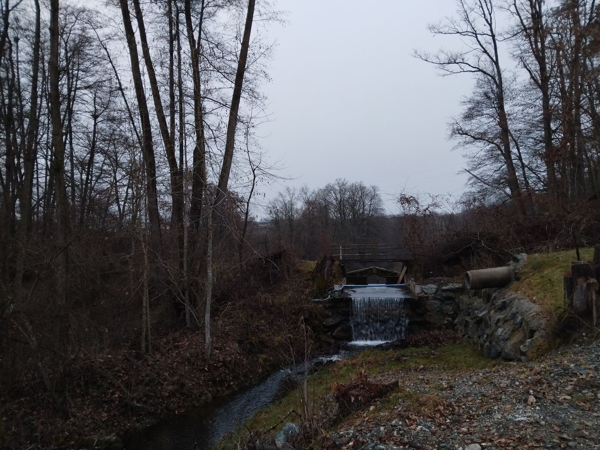
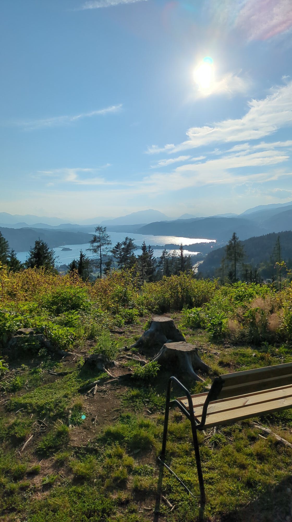
The Krumpendorf long-distance hiking trail with a total length of 16.20 km starts from the Parkbad towards Leinsdorf. Then through the beautiful forest it goes to Aussicht West and then further to Pirkerkogel...
The Krumpendorf long-distance hiking trail with a total length of 16.20 km starts from the Parkbad towards Leinsdorf. Then through the beautiful forest it goes to Aussicht West and then further to Pirkerkogel at 663 m altitude. Past Wirtnigteich via Nußberg and Görtschach it returns to the start. A hiking trail for all senses in a dreamlike natural landscape and demanding due to interesting ascents and descents.
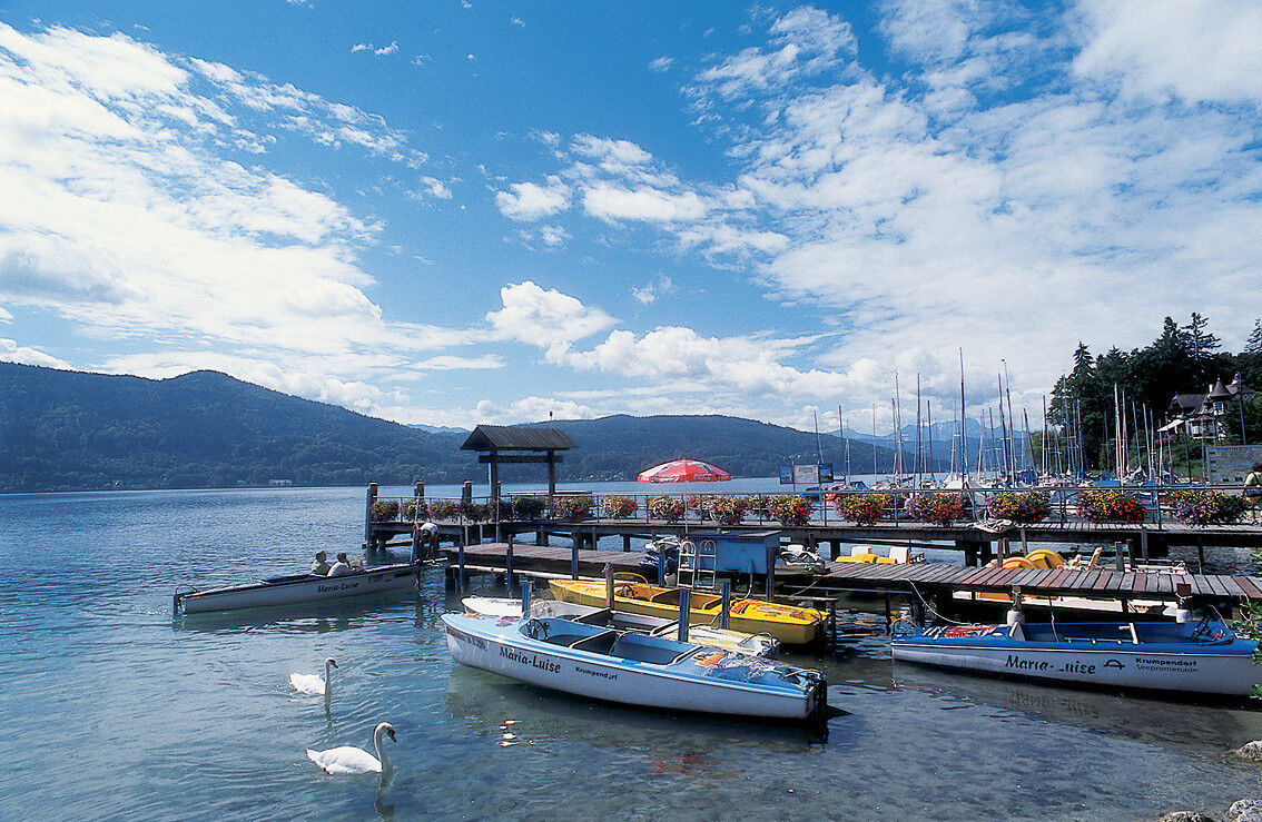
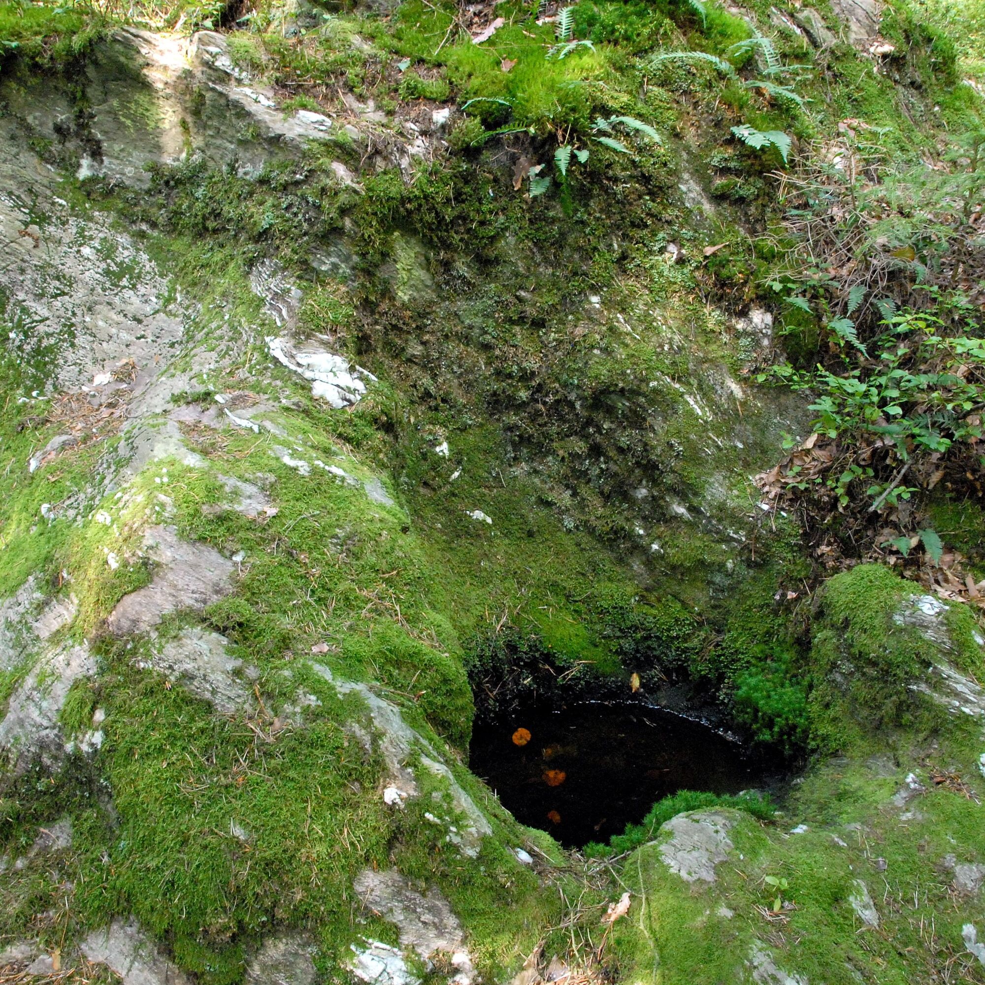


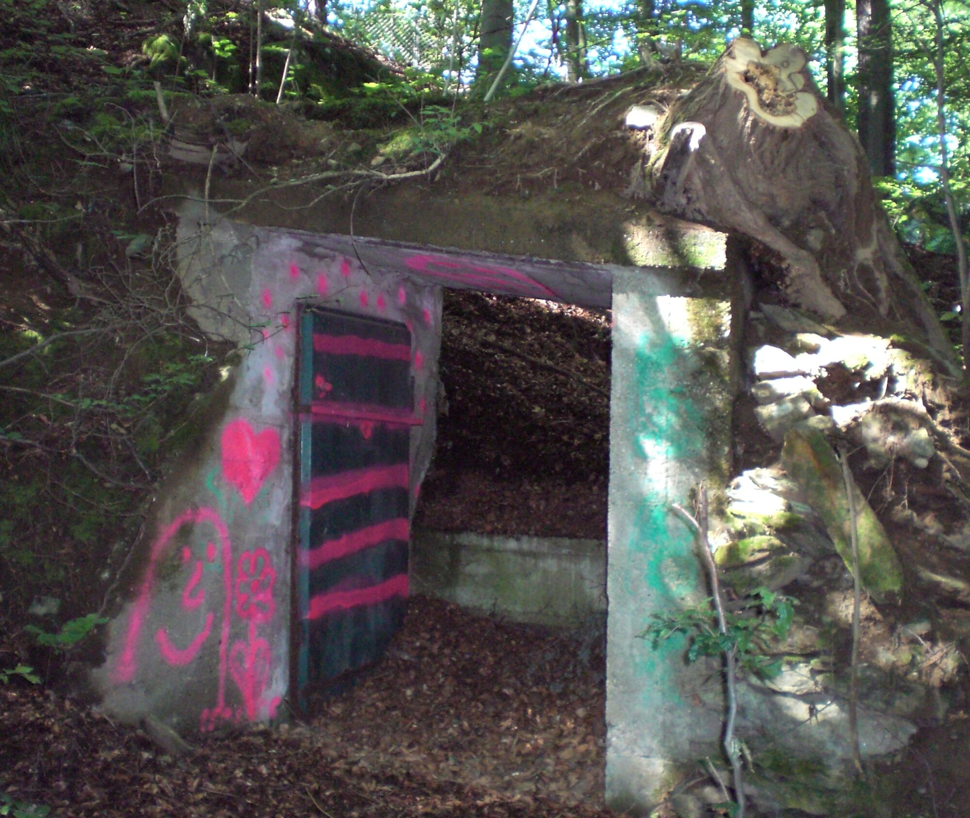
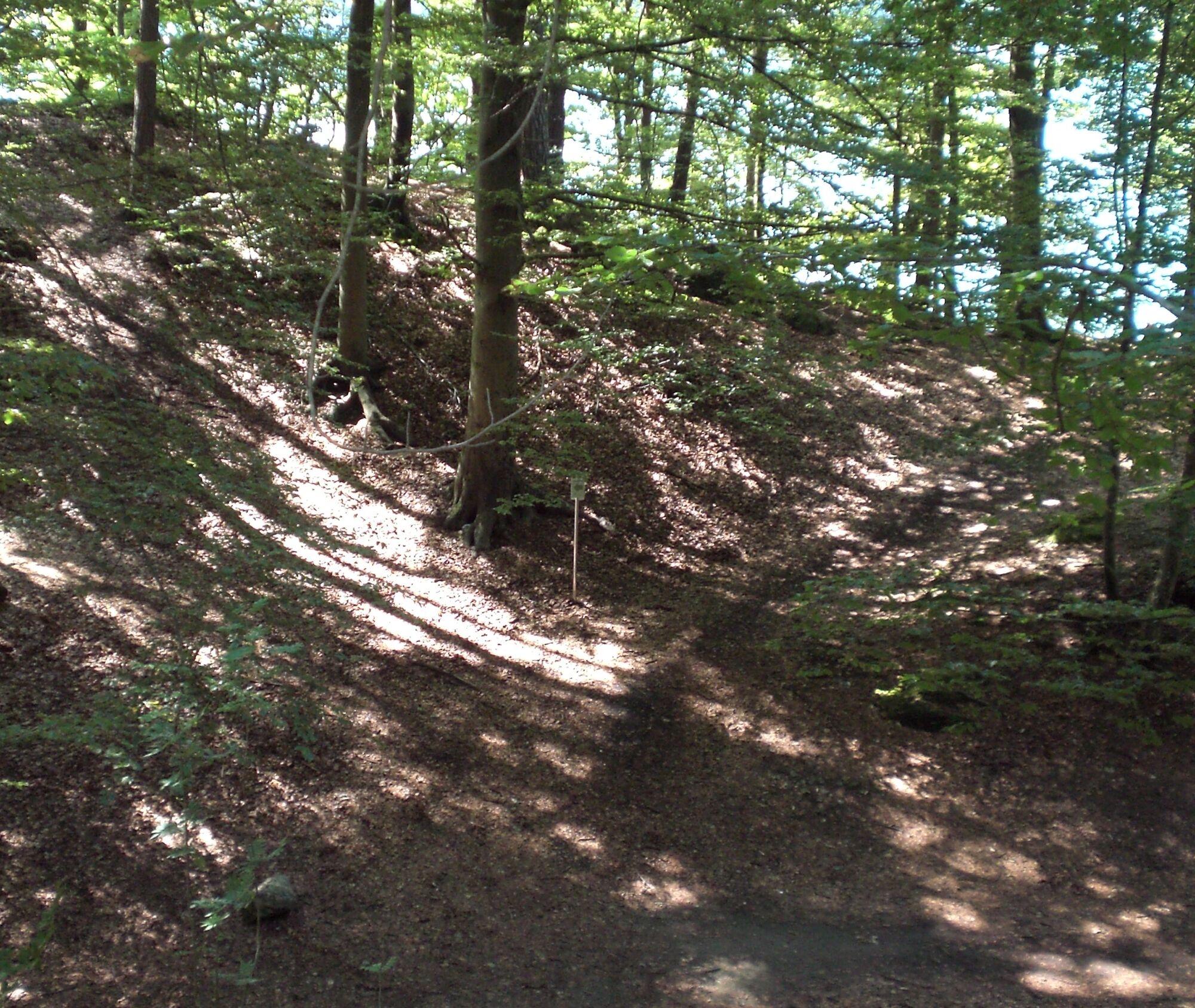
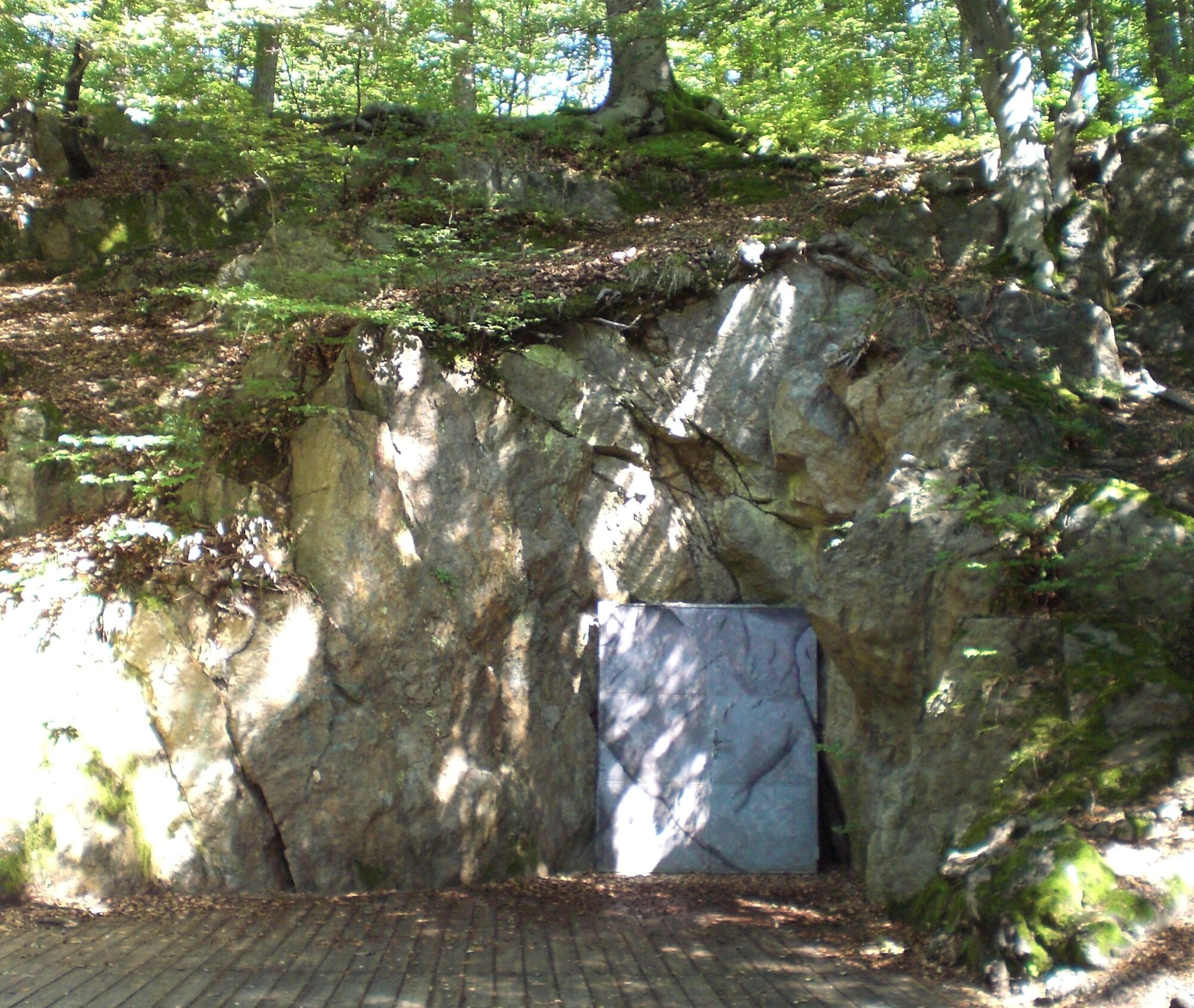
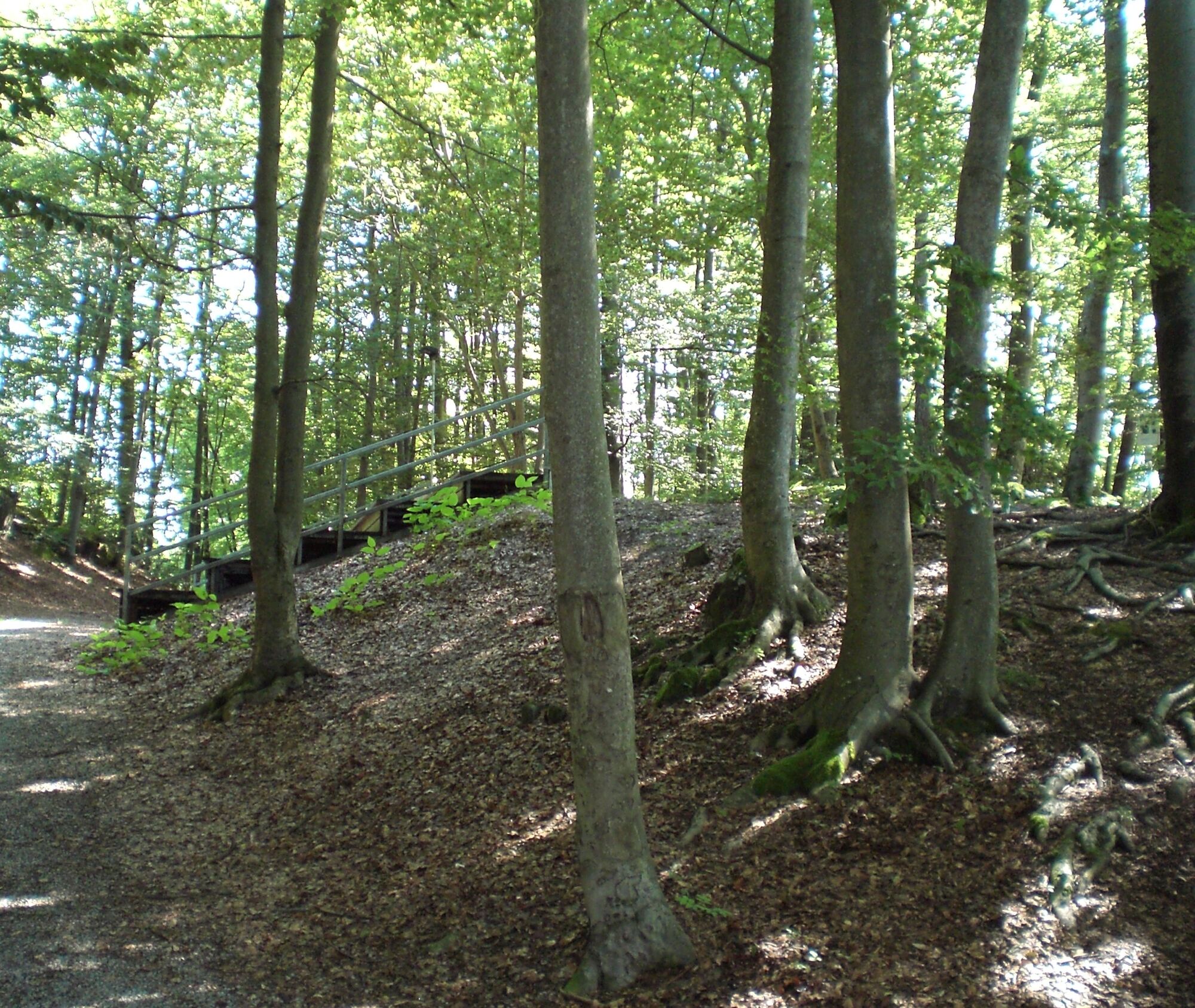
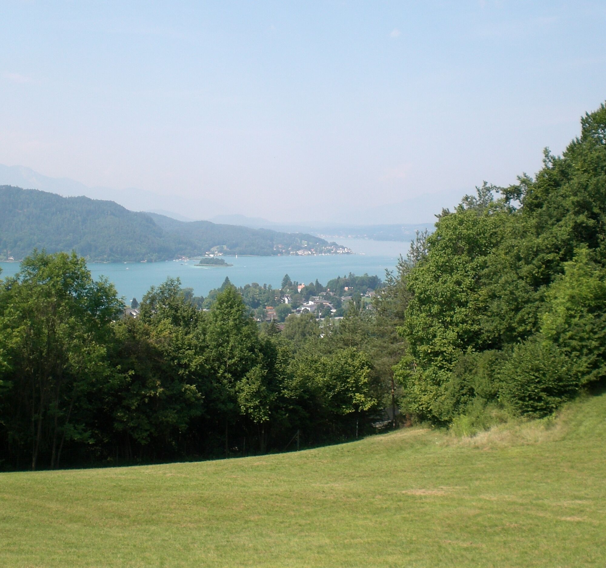
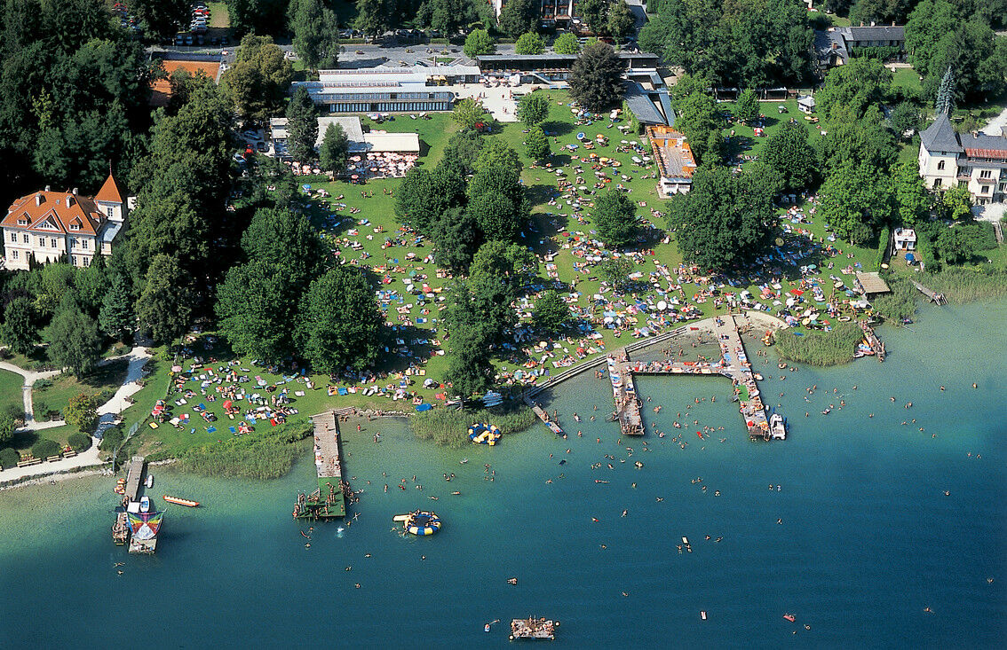
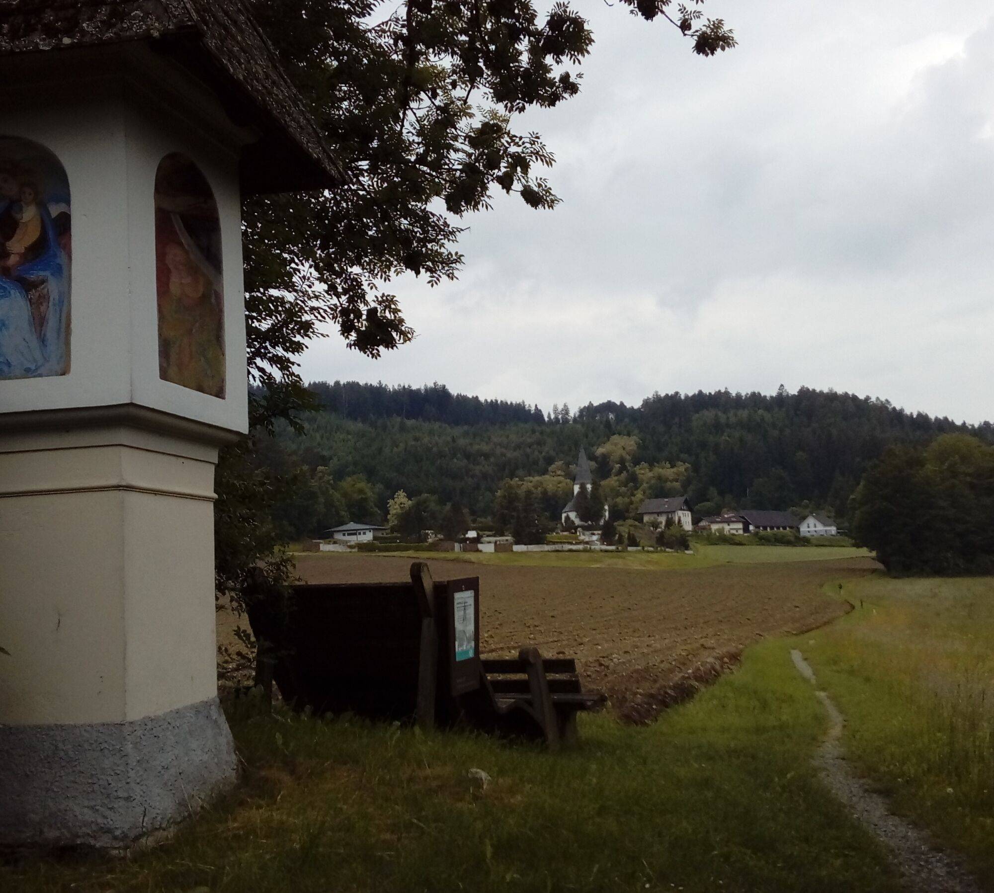

From the Parkbad Krumpendorf towards Pörtschach to Leinsdorfer Straße, then right along Leinsdorfer Straße to the Longoweg junction and then into the forest (trail B). After the beautiful forest path, the highway is crossed underneath, and it goes to the "Aussicht West" viewpoint, past Pirkhof and further to Pirkerkogel (666m).
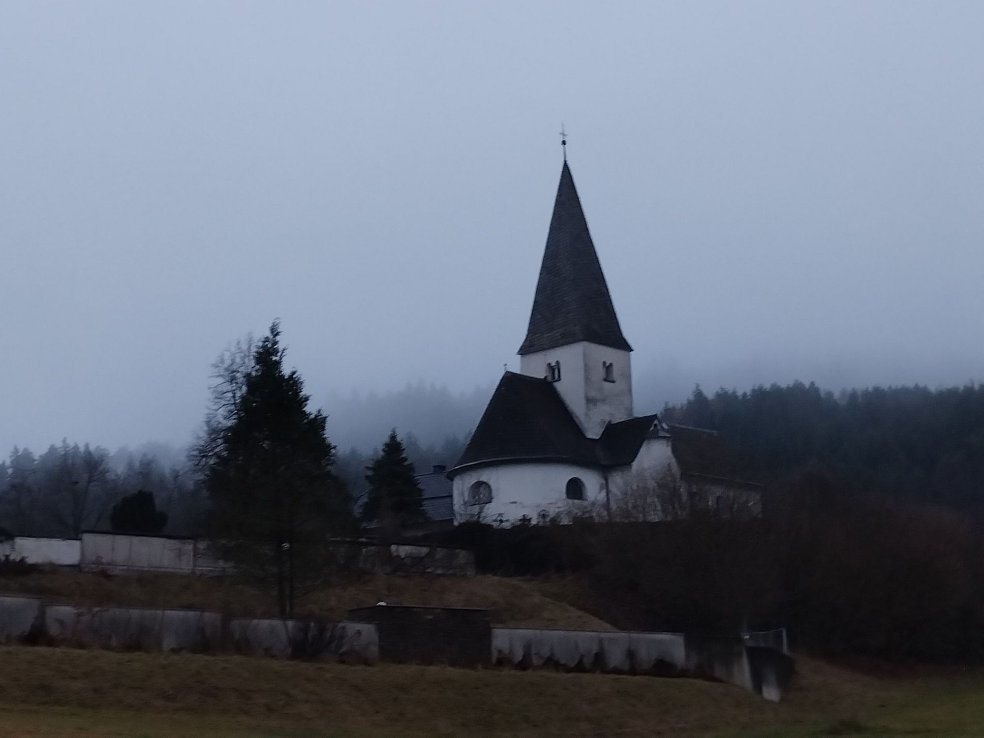
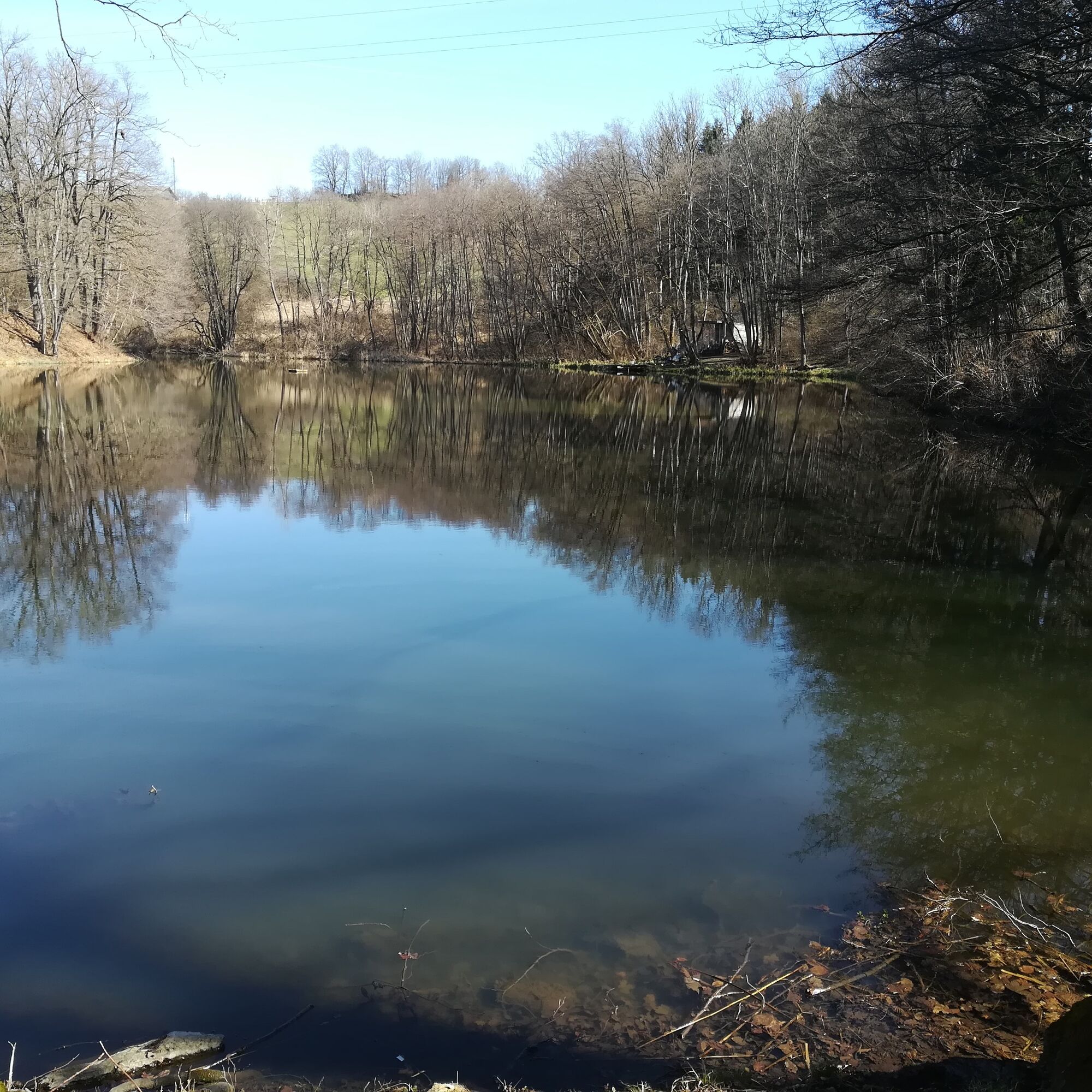
From Pirkerkogel, it goes downhill along the Wörthersee circular hiking trail (blue-white-blue marking) towards Pirk – parish church St. Ulrich – then to Wirtnigteich. Afterwards towards Drasing to Kollebauer. Immediately after, turn left, follow the street for a short distance. Then right into the forest (red-white-red markings on the trees) to Nußberg (wooden cross). From there it continues south towards Görtschach (Gasthof Pisl), further along Görtschacher Straße and then right directly into the forest. The path leads into Drasinger Straße, continuing towards Gasthof Jerolitsch and then back to the federal road.
Continue over the railway crossing, past Bad Kropfitsch and back along the bike and pedestrian path to Schlossallee / municipal office. The path is continuously marked red-white-red.
Ano
Hiking shoes. No special equipment otherwise required.
Via A2 or B83 to Krumpendorf at Lake Wörthersee
Access possible by bus, train, or Wörthersee ferry
Parking spaces available in Krumpendorf
 Získejte přehled
Vždy živě na místě s více než 9 500 webkamerami. bergfex Jako uživatel Pro si nyní můžete zobrazit odpovídající webové kamery pro mnoho prohlídek v aplikaci prohlídky z. Můžete si tak přímo prohlédnout aktuální podmínky.
Získejte přehled
Vždy živě na místě s více než 9 500 webkamerami. bergfex Jako uživatel Pro si nyní můžete zobrazit odpovídající webové kamery pro mnoho prohlídek v aplikaci prohlídky z. Můžete si tak přímo prohlédnout aktuální podmínky.

Oblíbené prohlídky v okolí
-
5.0
Wörthersee EXTREM
heavyTuristika 60.1 km -
4.6
Pyramidenkogel path Maria Wörth
středníTuristika 10.8 km -
4.6
Hoher Gallin route
středníTuristika 7.09 km -
4.5
Cycling around Lake Wörthersee – leisurely cycling between turquoise blue water and fantastic views
středníJízda na kole 48.2 km -
4.4
Lake Wörthersee Circular Route
středníJízda na kole 41.2 km -
4.7
Zillhöhe
středníBěh 7.94 km -
4.8
Abenteuer-Wasser-Weg
středníTuristika 9.13 km -
4.7
Vierbergelauf
středníPoutní stezka 47.6 km -
4.6
Pyramidenkogelweg Schiefling
středníTuristika 8.41 km -
4.1
Slow Trail Bleistätter Moor (Variant A)
světloTuristika 7.22 km
Pěší turistika a stopování


Nenechte si ujít nabídky a inspiraci pro vaši příští dovolenou
Vaše e-mailová adresa byl přidán do poštovního seznamu.





