


From Zell-Pfarre to the Freiberg
Initially on an asphalt road, past the new school, until shortly before a farmhouse, turn right up over the meadow (signpost). Passing a weekend house that somewhat stands out architecturally, entering...
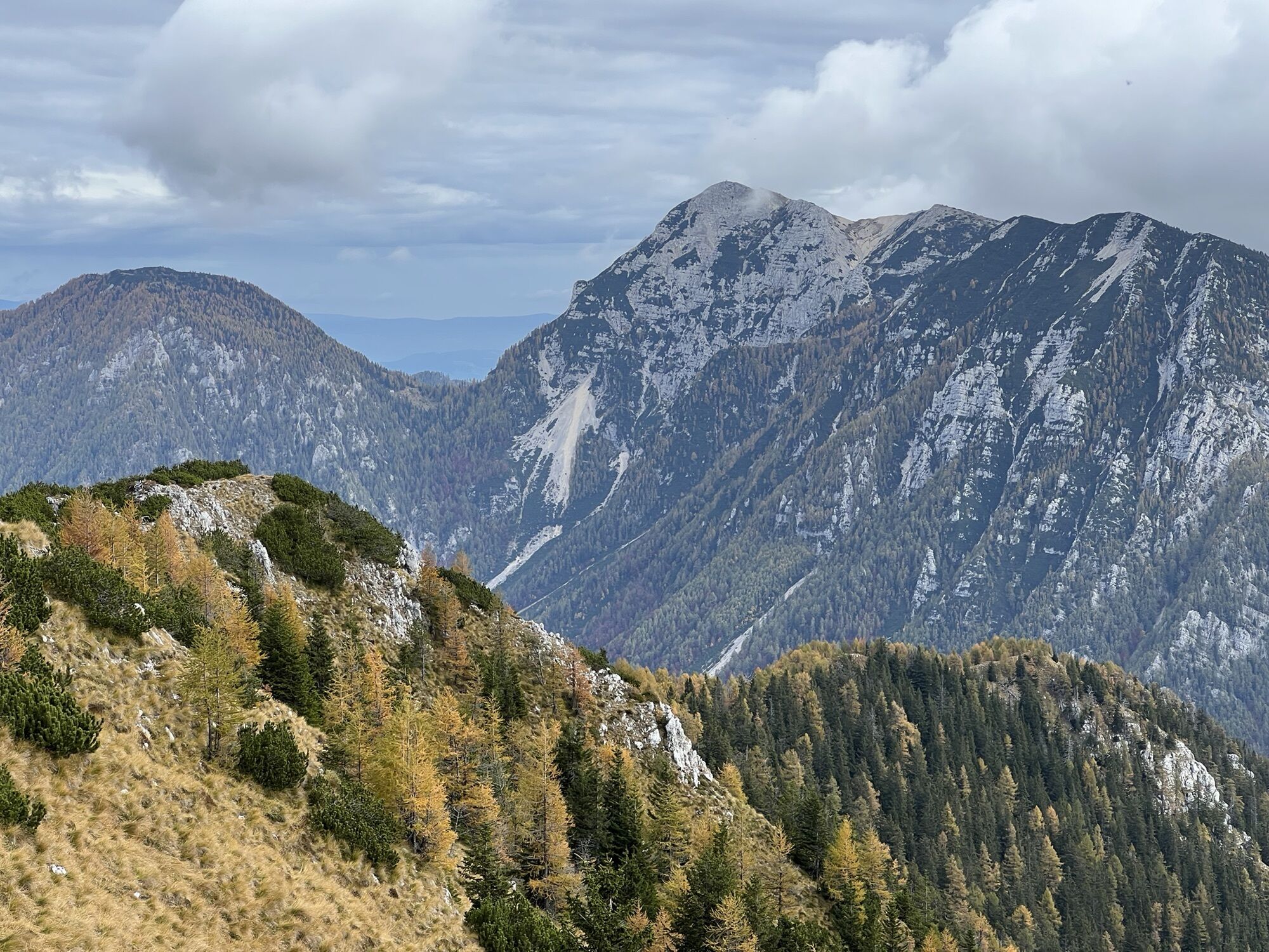
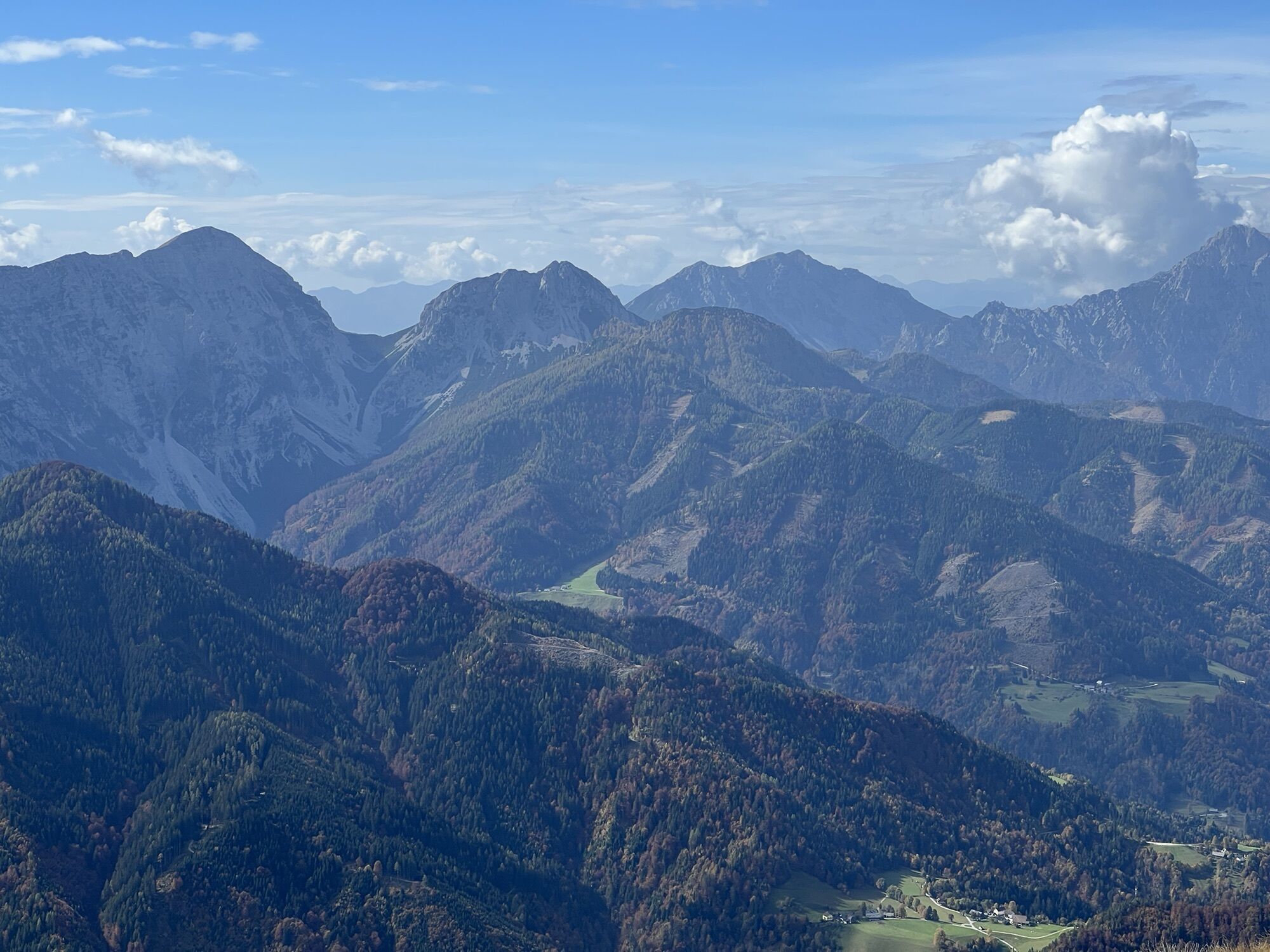
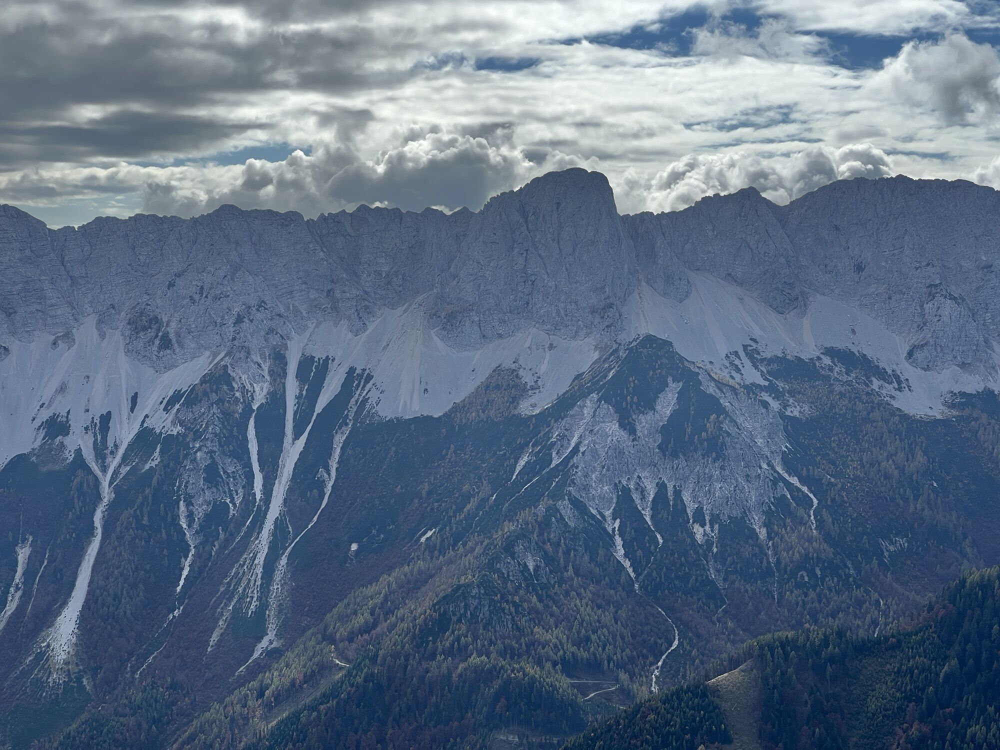
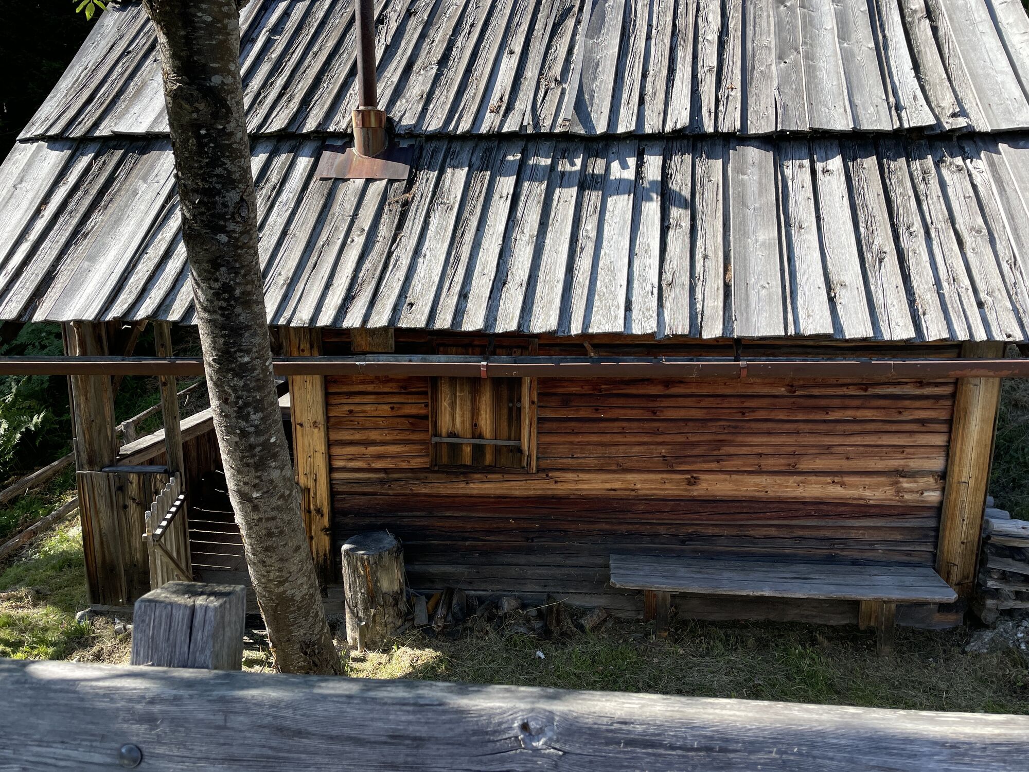
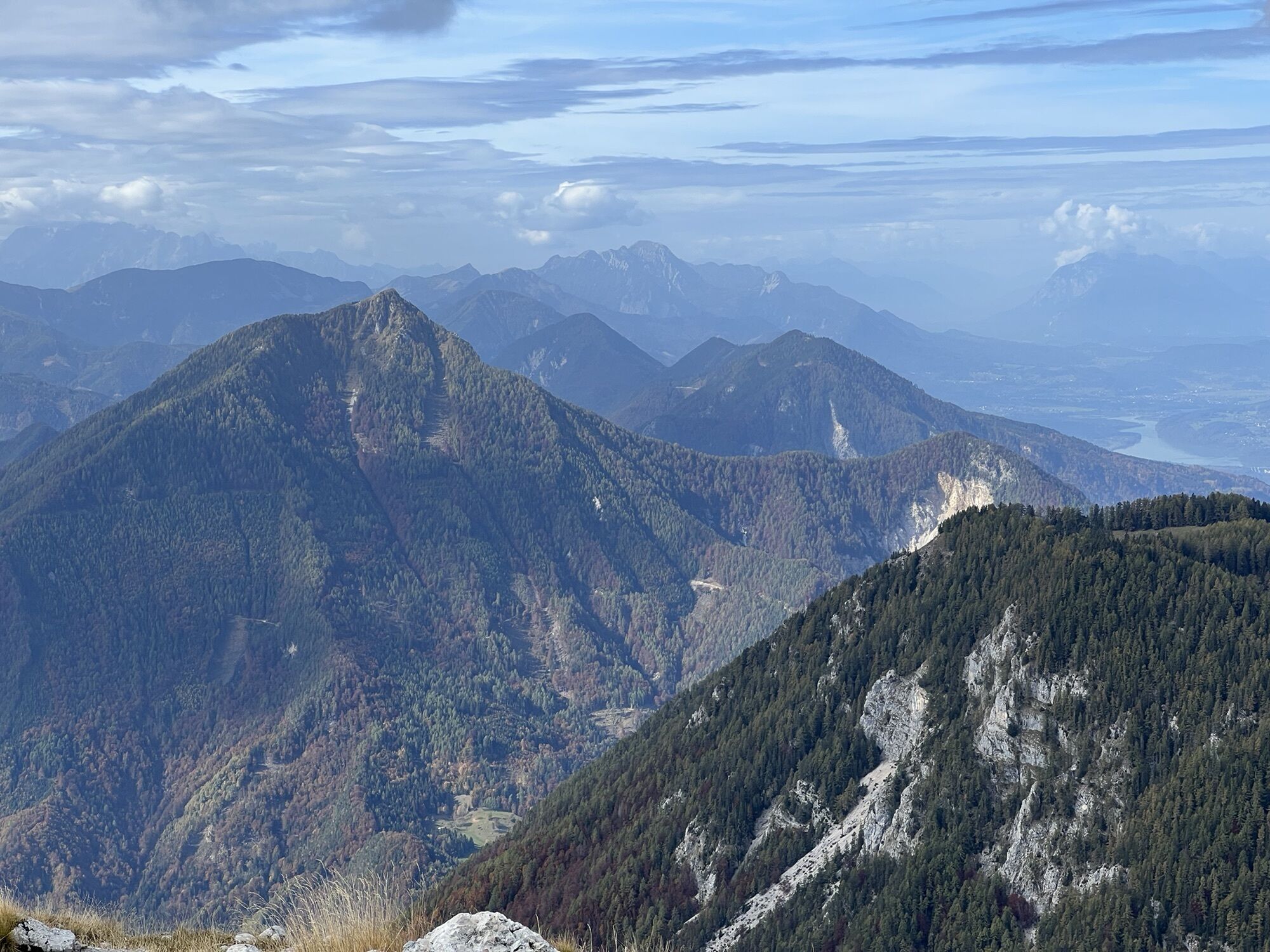
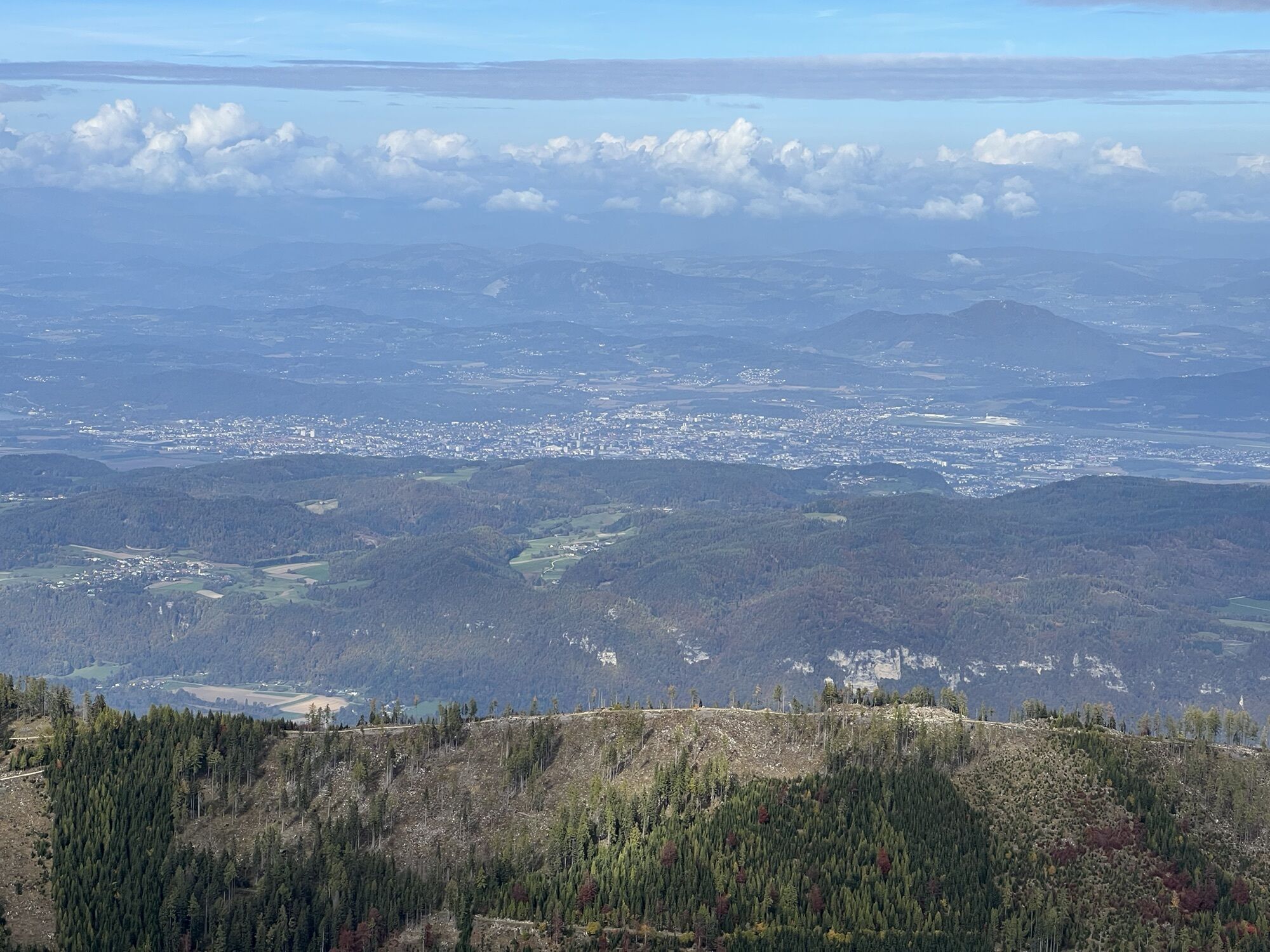
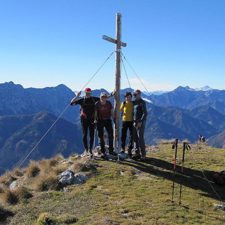
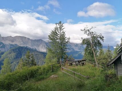
The further ascent is clearly defined – and beautiful! Some clearings offer dreamy views into the wonder world of the Karawanks. On an eroded path, steep slopes are mastered. A massive slope descending into the valley must be crossed. Caution in winter! In early summer, butterflies, rare birds, and glowing alpine flowers bloom. Soon a wide grassy gully descending gently from the ridge is reached (avalanche catchment in winter). On the left, a tiny hut appears: a place to rest and gaze peacefully. First, however, a visit to the summit, the best of all rest places, is due. It is already near, you are almost there...

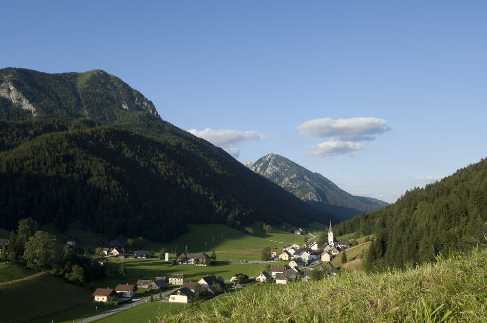
From the parking lot, head north past the school, after 150 m turn right up over the meadow to the forest edge, then steeply up the sunken path and follow the signs to the Uznikkreuz (walking time to here 1 hour). At the Uznikkreuz, follow the marked hiking trail to the right, past the Nikolaushütte, following the forest ridge. On many switchbacks, the southern side of the mountain is crossed. Ascent from the west to the summit cross (walking time approx. 2 1/2 hours).
Ano
Ano
Hiking or mountain equipment
From Klagenfurt to Ferlach and on to Zell-Pfarre. Turn left before the Alpengasthof Malle and immediately park right afterwards.
Parking spaces at the Alpengasthof Malle
Stopover at the Alpengasthof Malle: "2 Herzl - Healthy Kitchen" establishment


Oblíbené prohlídky v okolí
-
4.8
Bad Eisenkappel: Hochobir
Turistika 5.50 km -
3.9
Tscheppaschlucht Ferlach
světloTuristika 5.90 km -
4.9
Eisenkappler Hütte - Hochobir
středníTuristika 8.86 km -
4.4
Slow Trail Meerauge
světloTuristika 5.51 km -
4.6
Water experience trail Hainschgraben
středníTuristika 9.23 km -
4.7
Ogrisalm ab Bodenbauer, Kärnten/Österreich
světloLyžařská trasa 11.2 km -
4.5
Vom Seebergsattel auf den Kärntner Storschitz (Rundweg)
heavyTuristika 8.30 km -
4.9
Koschlak Klettersteig BC, D
středníVia ferrata 2.60 km -
4.5
Maria Rain-Petelinz-Kaiserhütte
světloTuristika 6.45 km -
4.4
Wandertour Hochobir / Zell
středníTuristika 5.76 km
Pěší turistika a stopování


Nenechte si ujít nabídky a inspiraci pro vaši příští dovolenou
Vaše e-mailová adresa byl přidán do poštovního seznamu.