



Krone - Monte Corona between Austria and Italy - GS N27

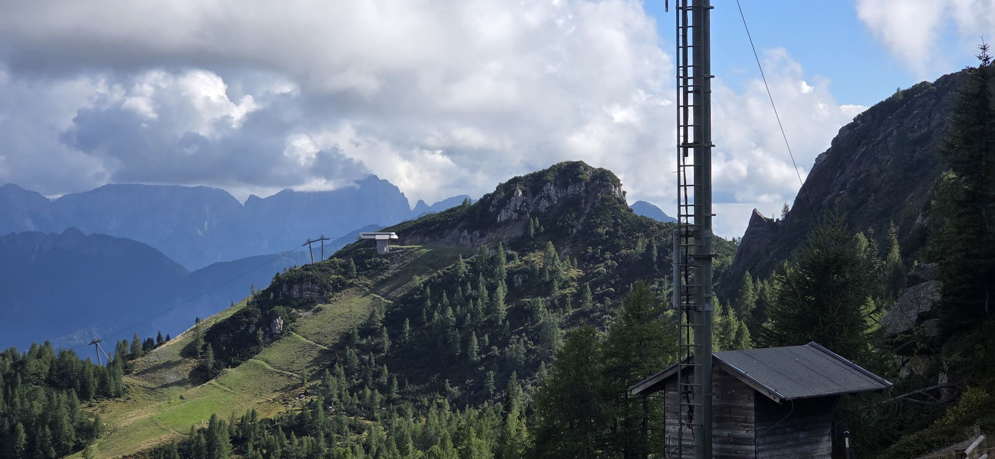
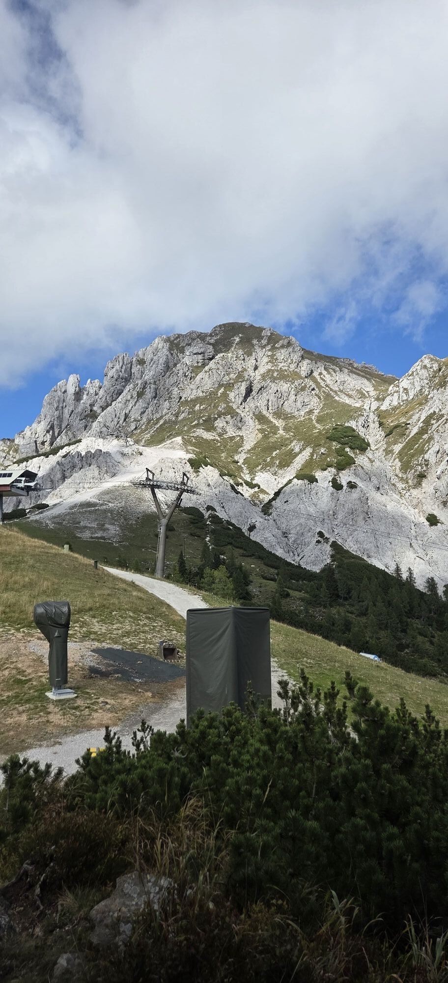
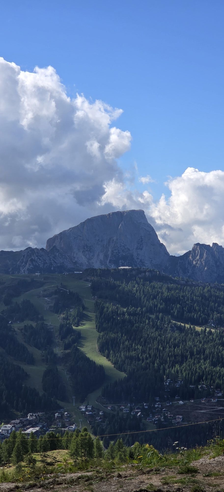
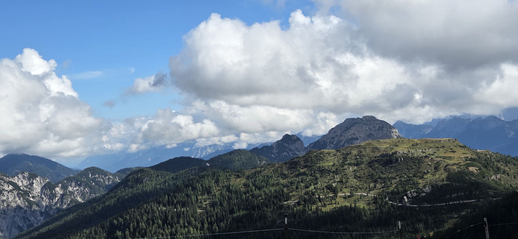
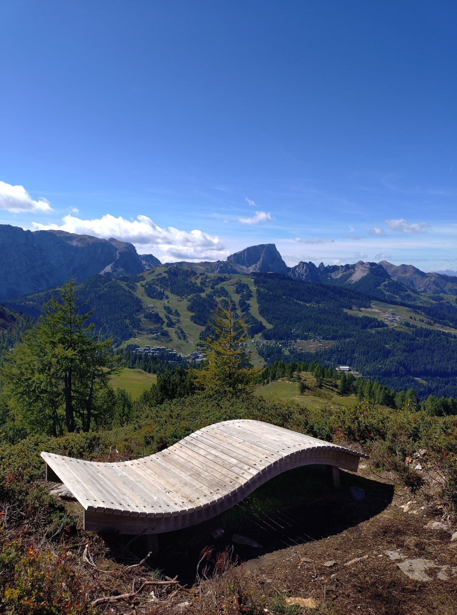
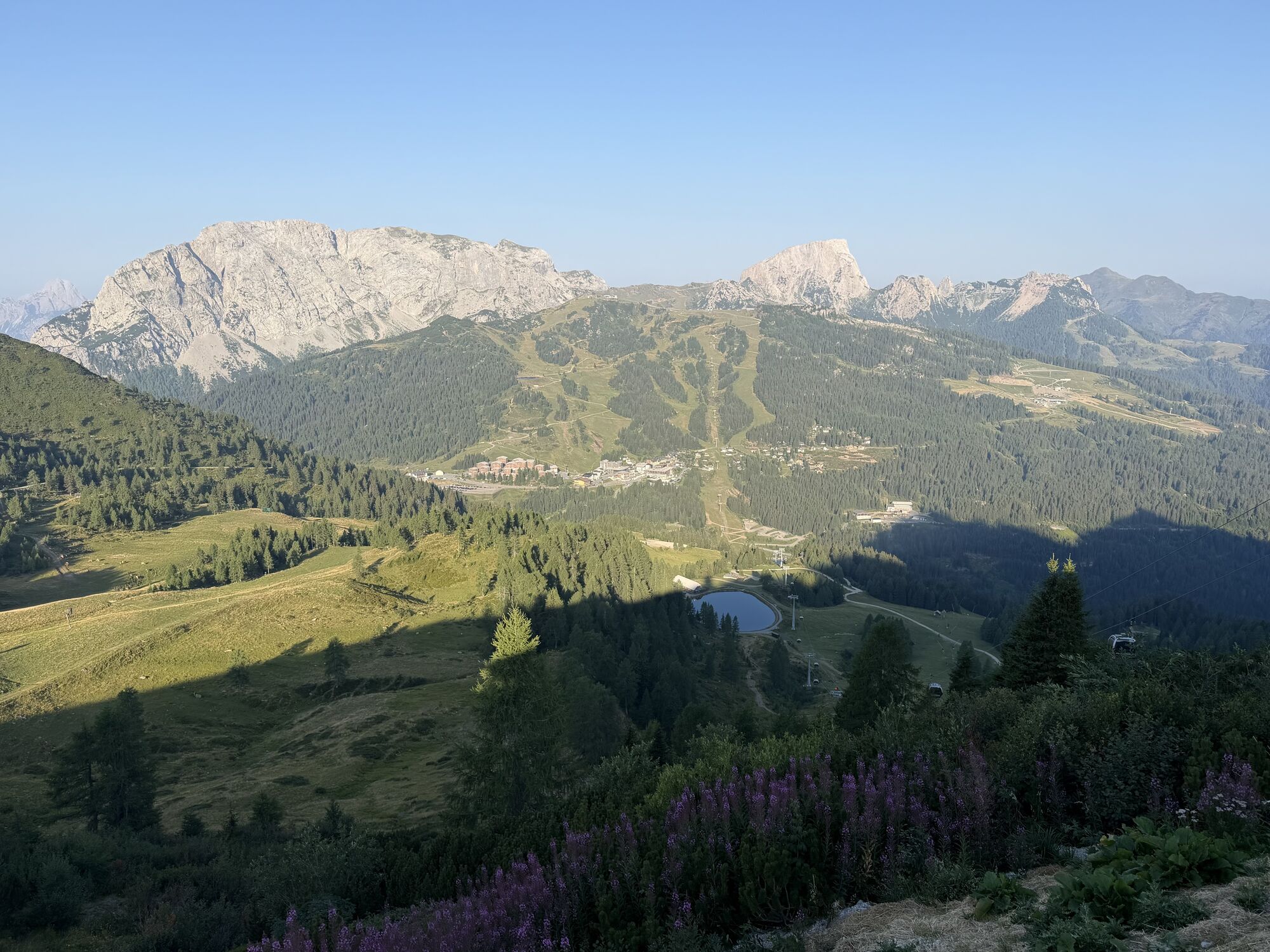
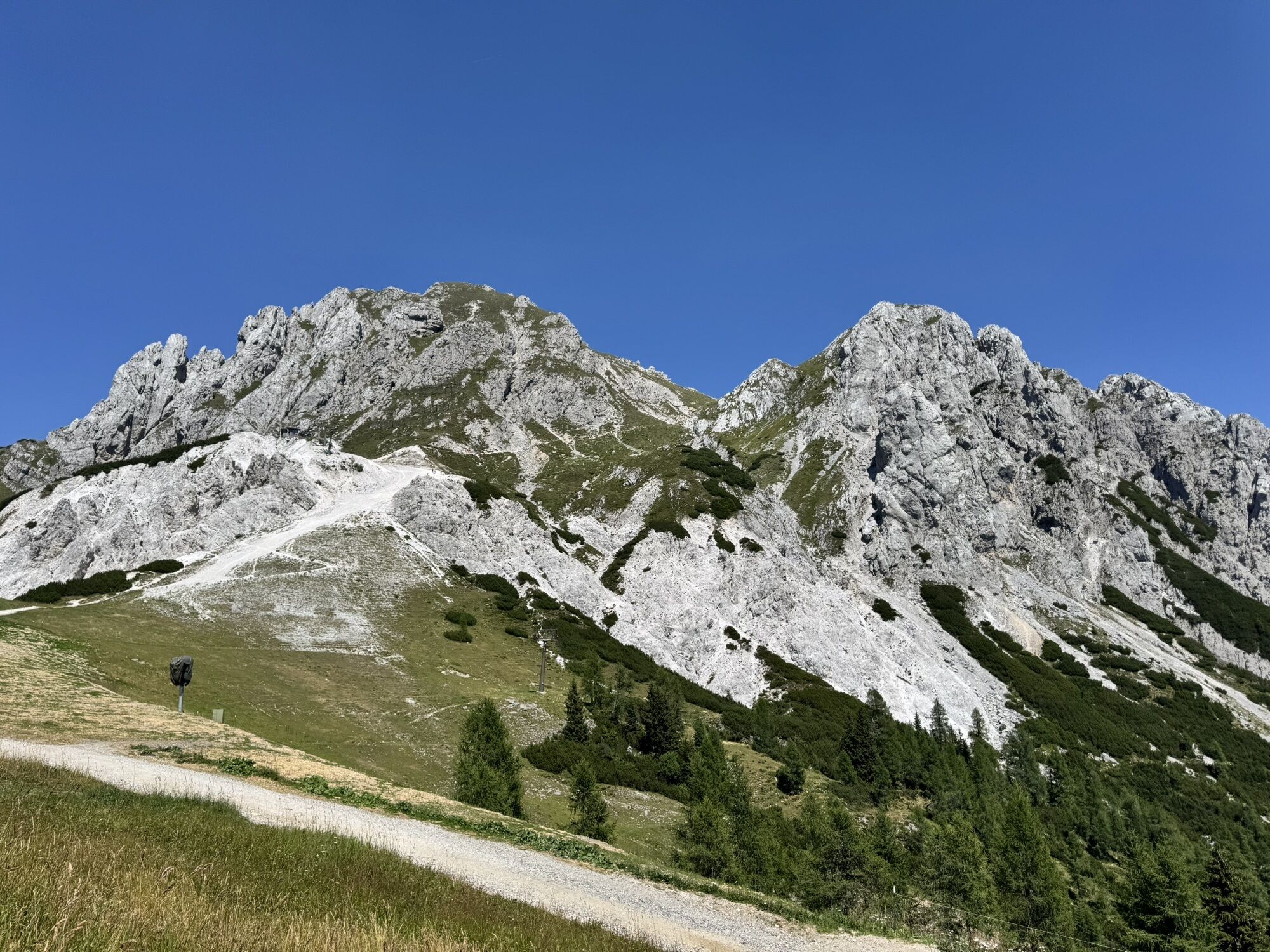
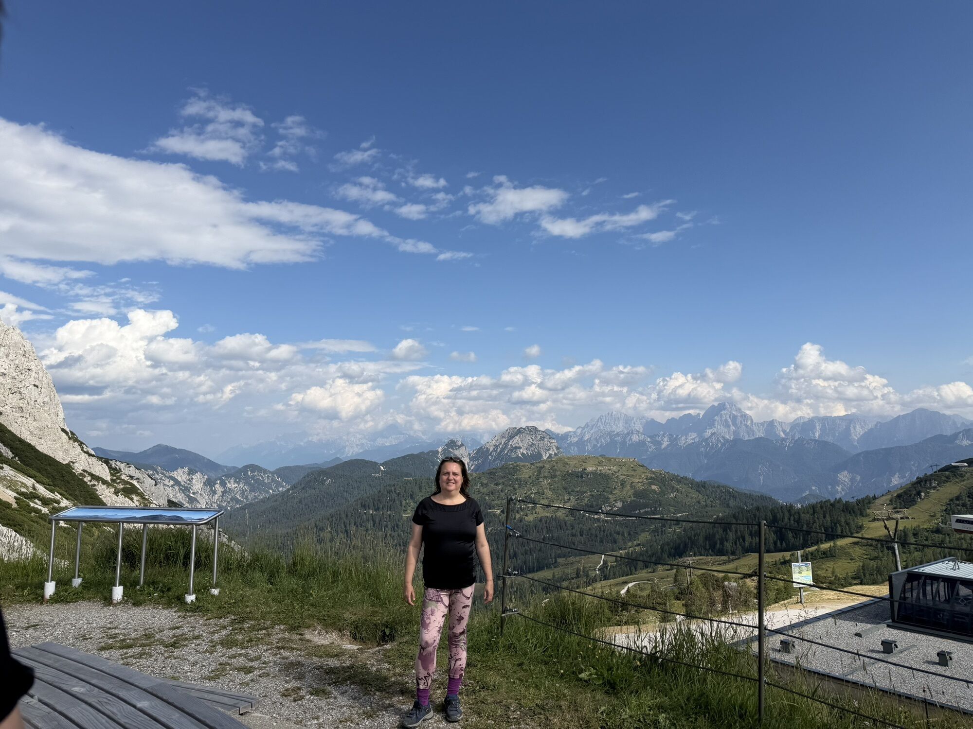
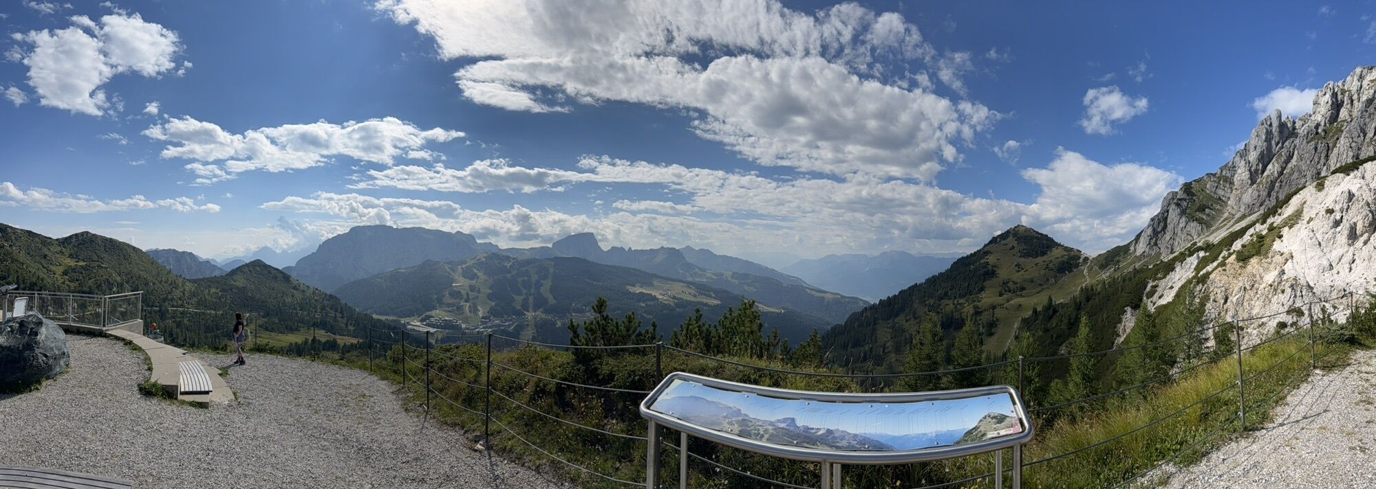
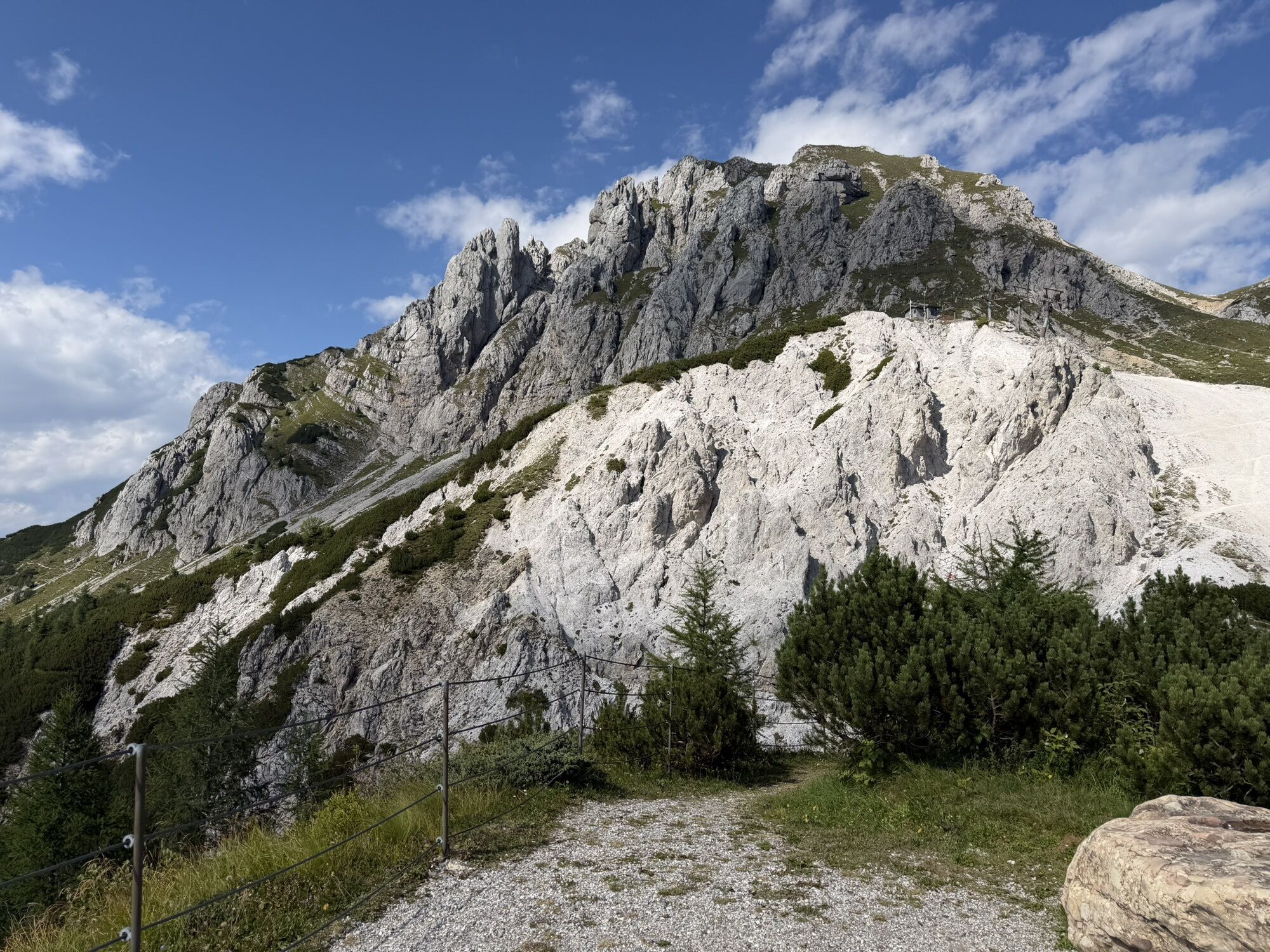
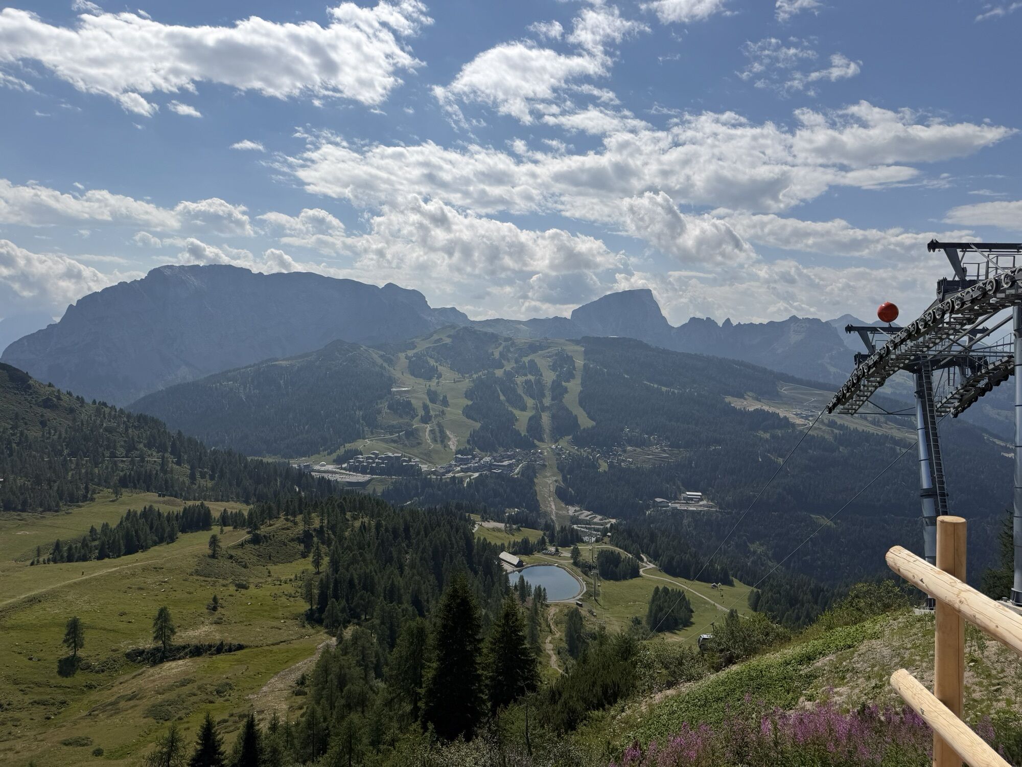
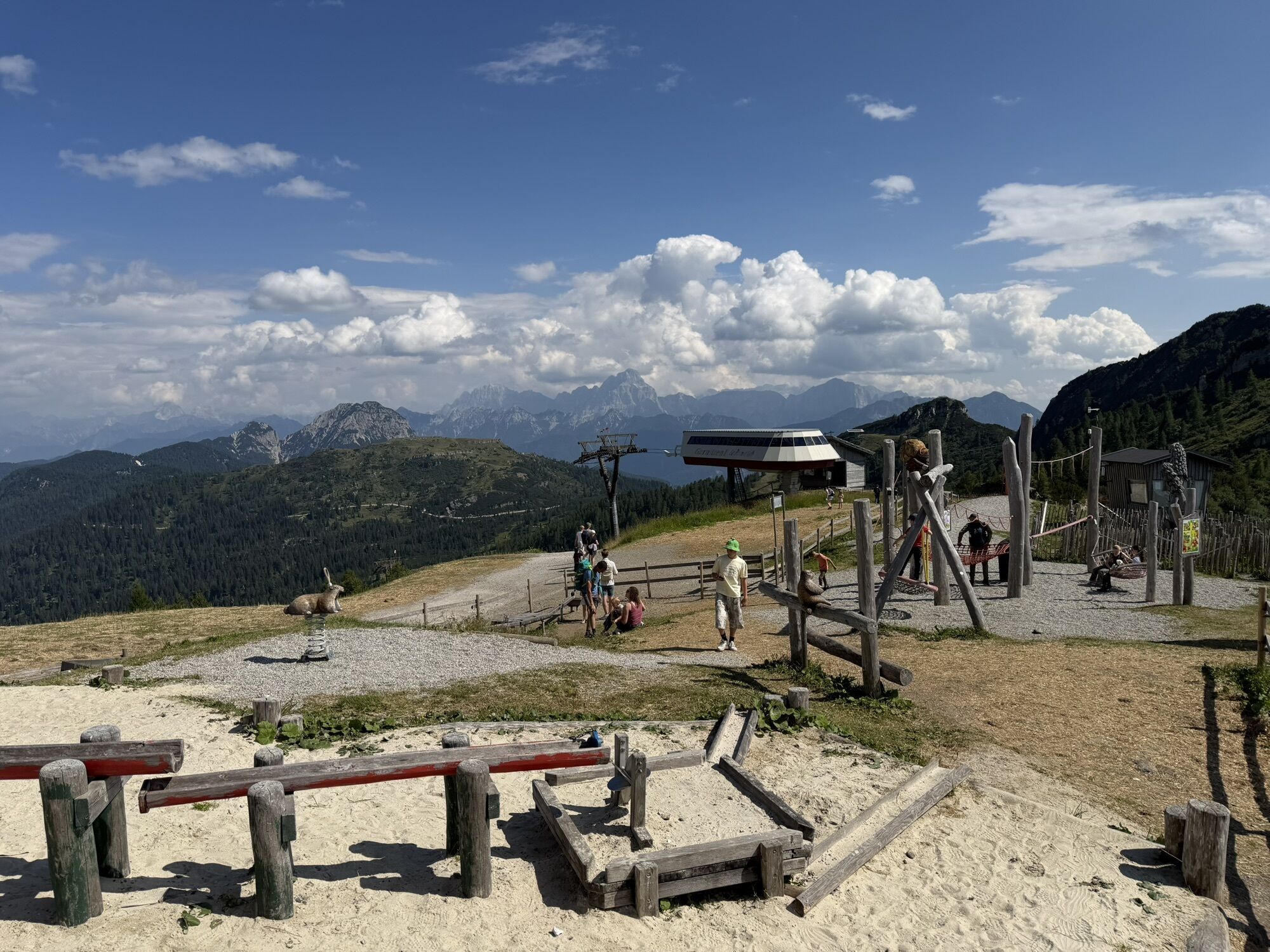
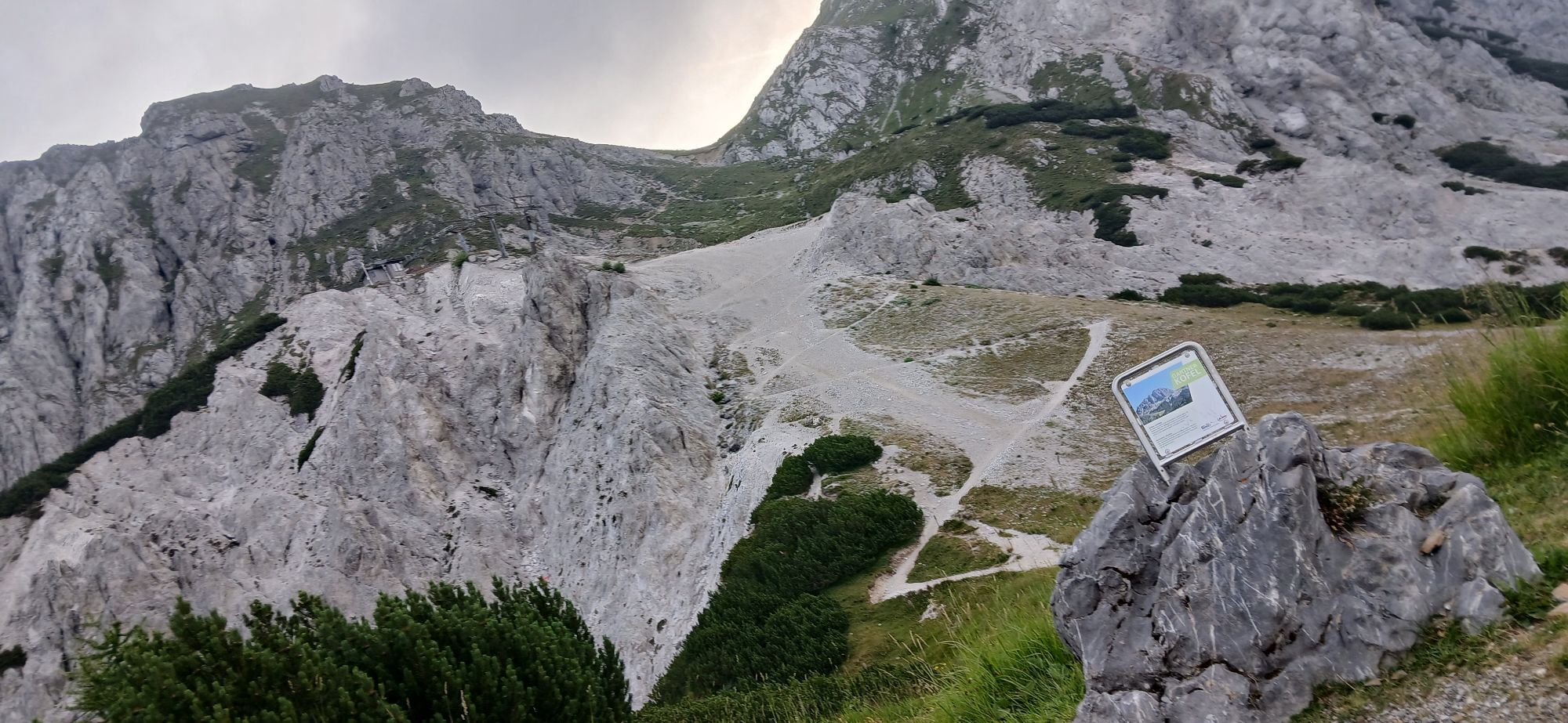
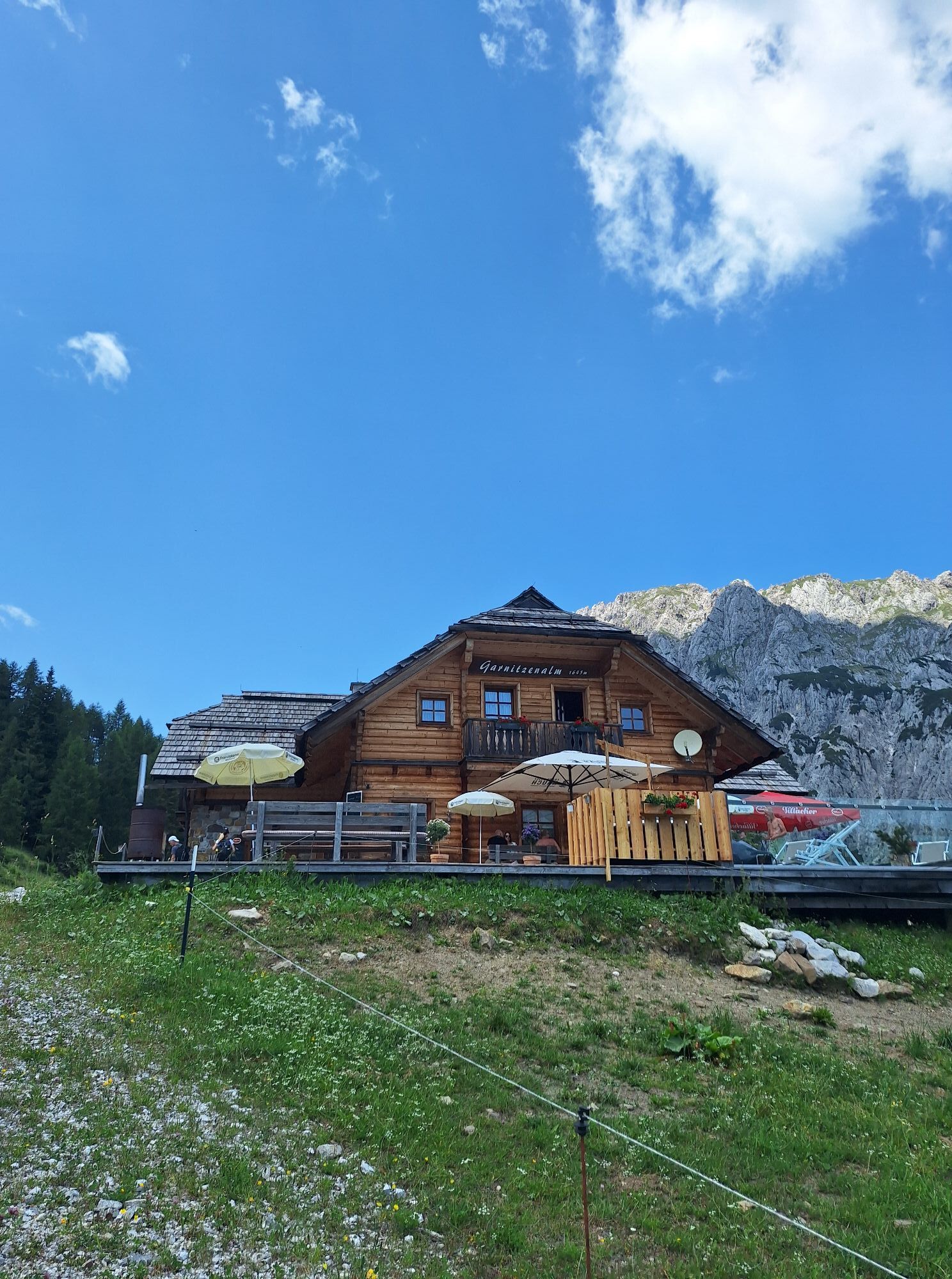
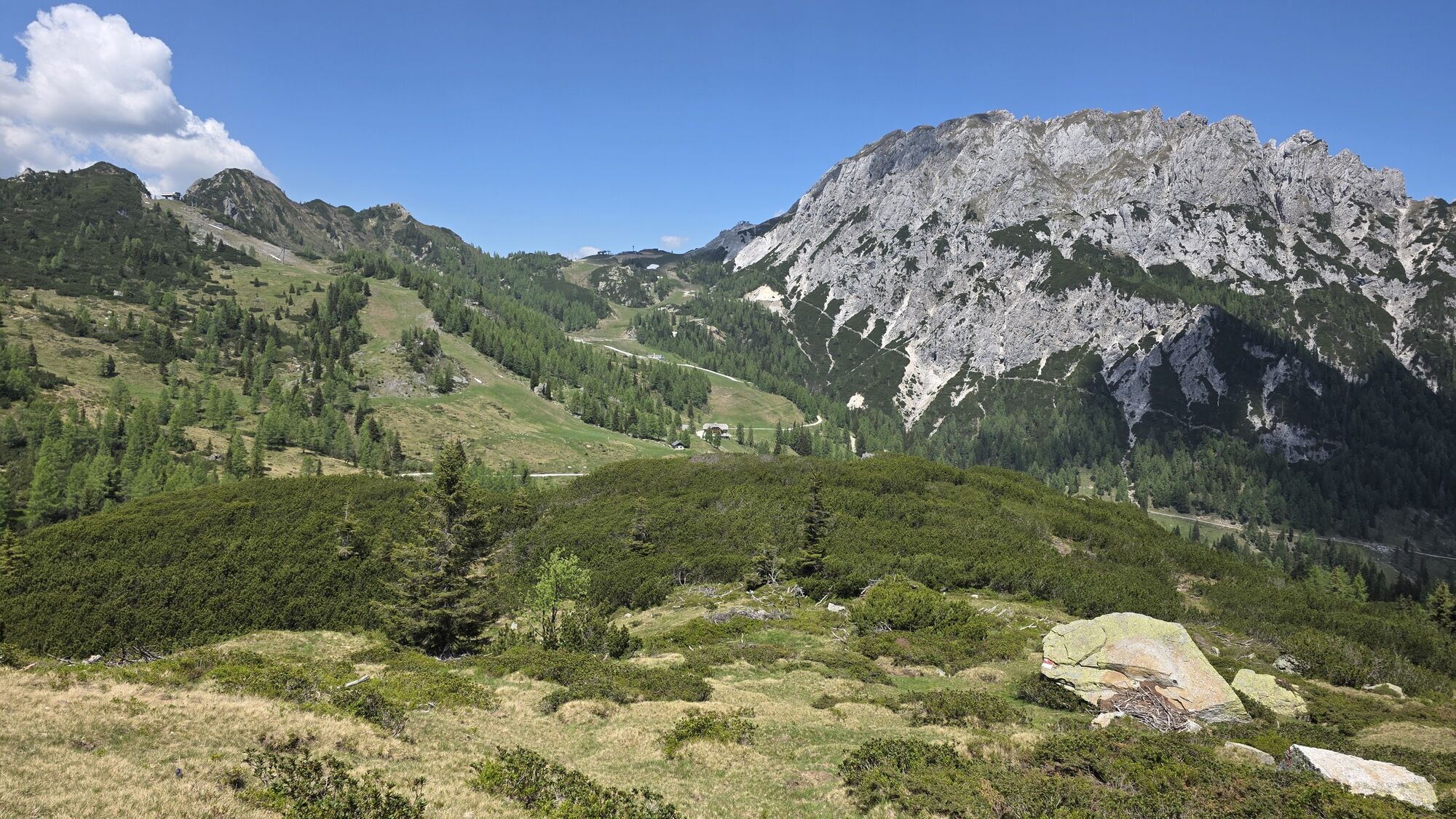
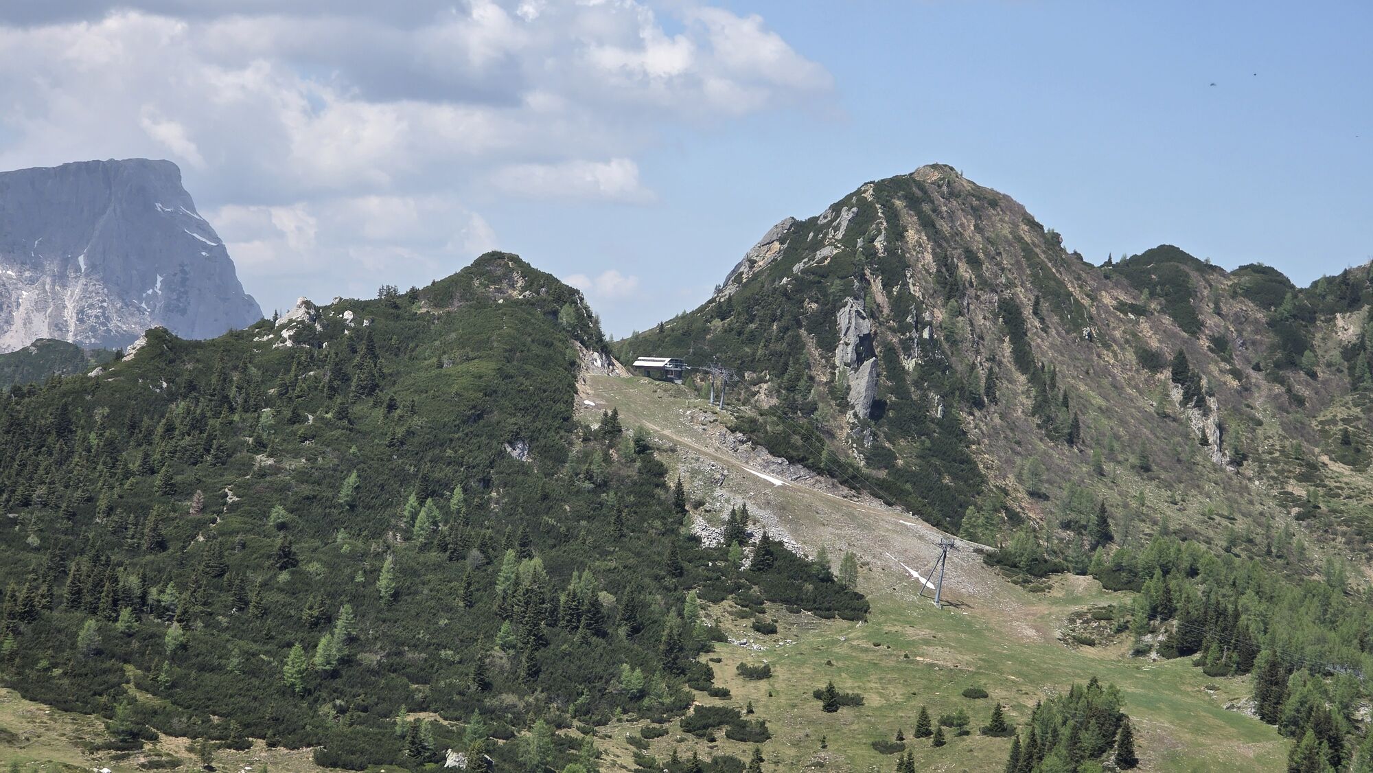
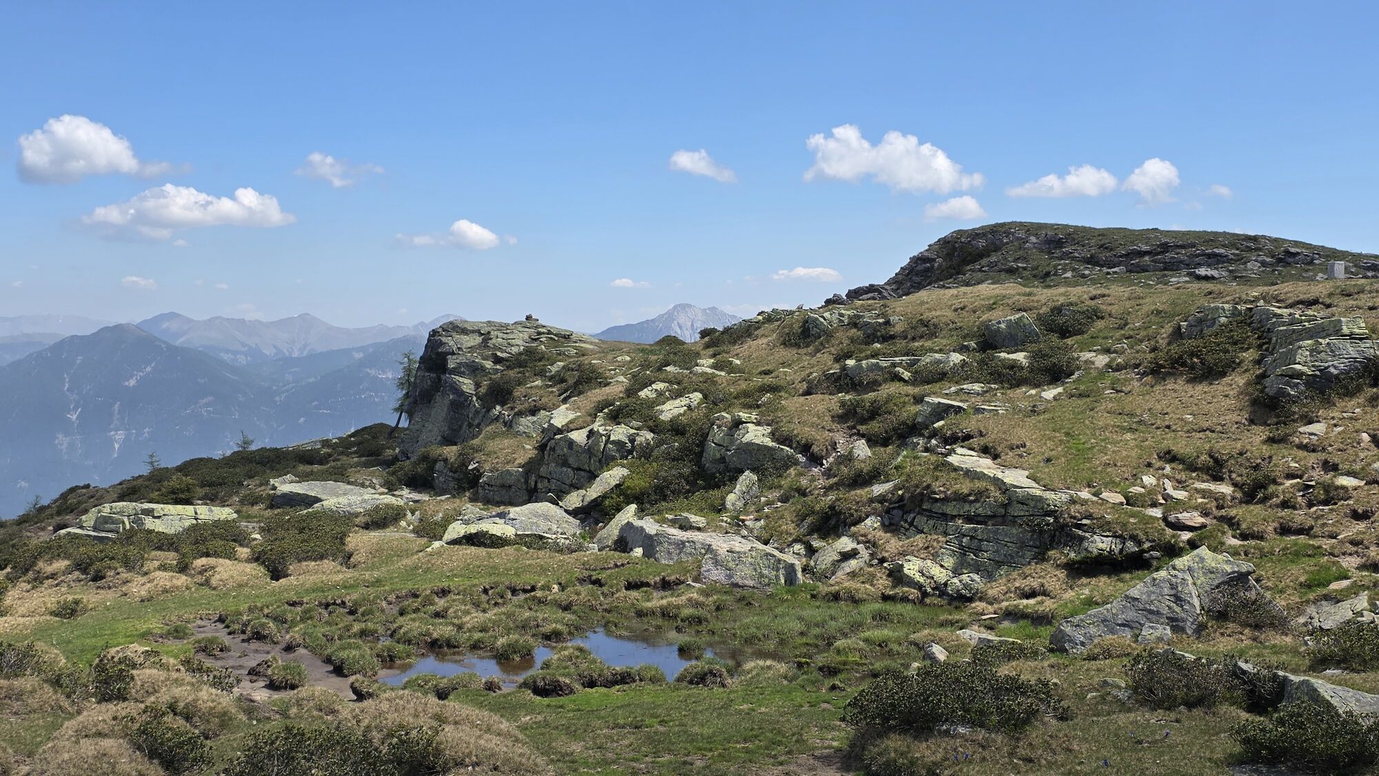
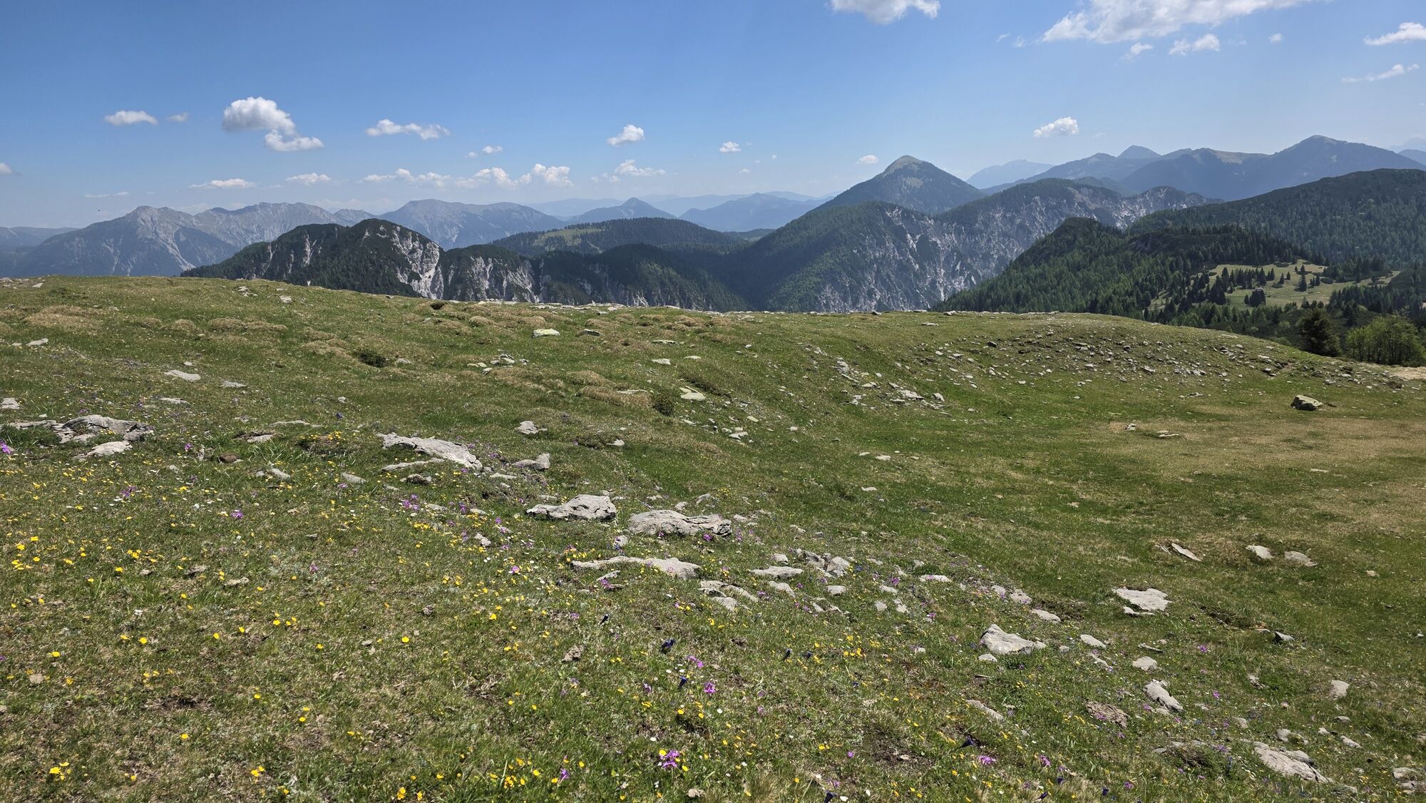
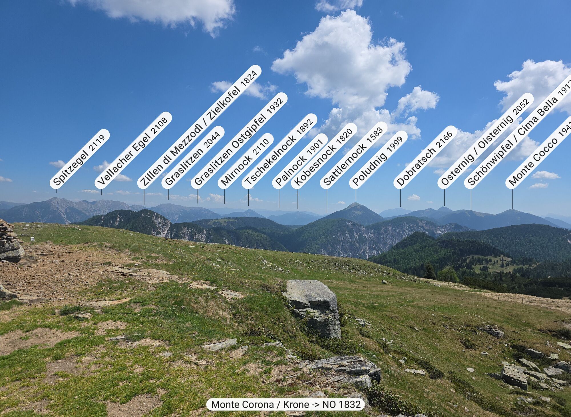
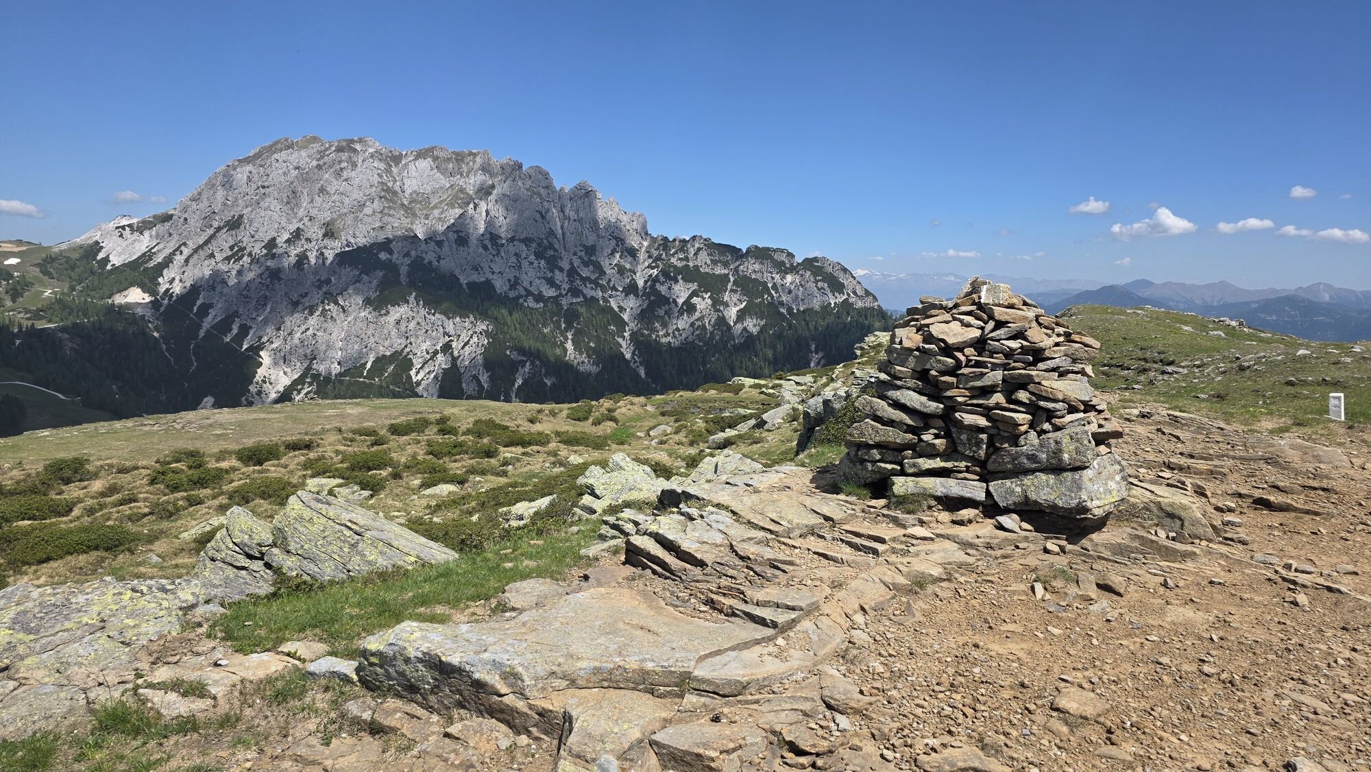
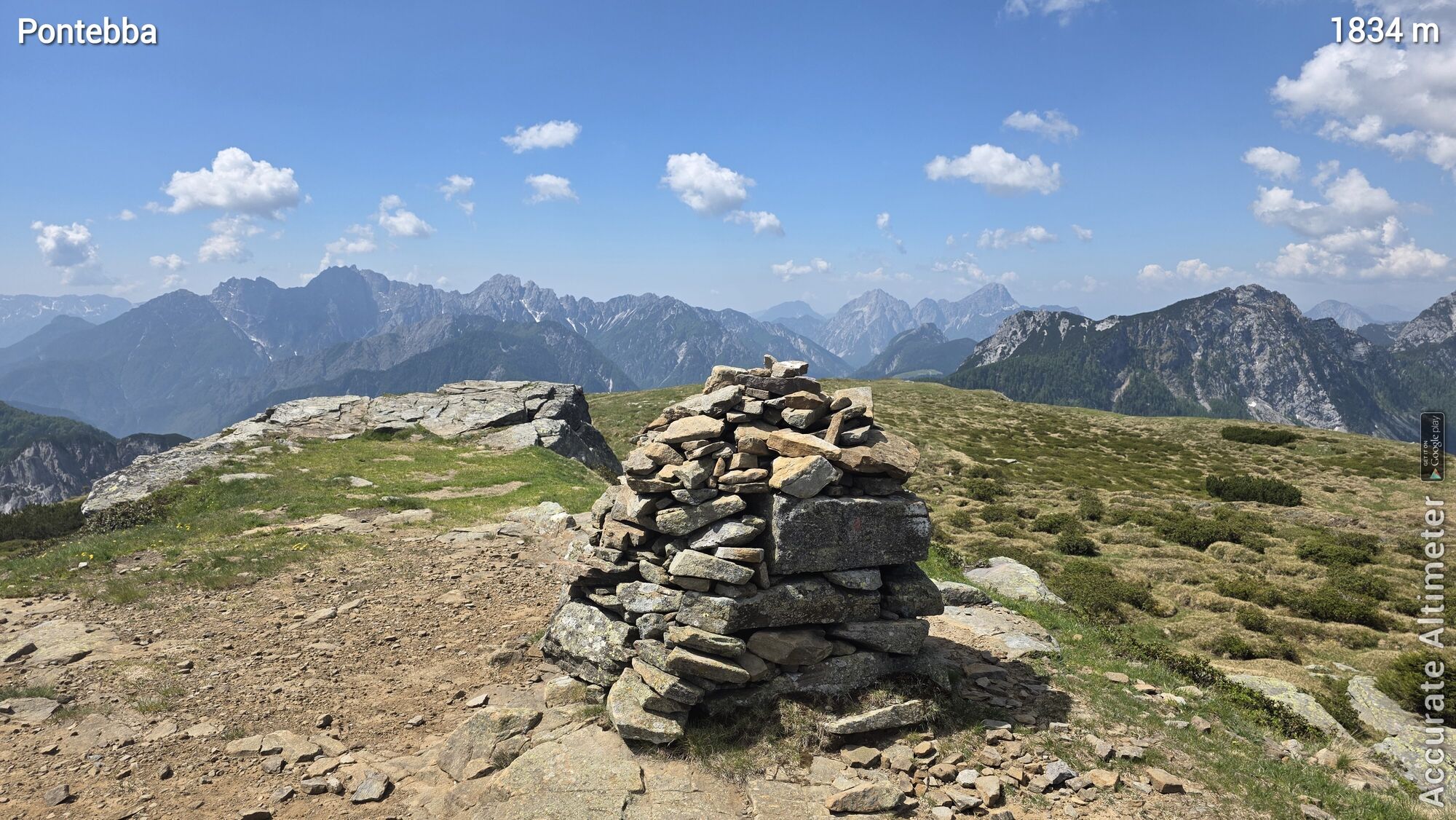
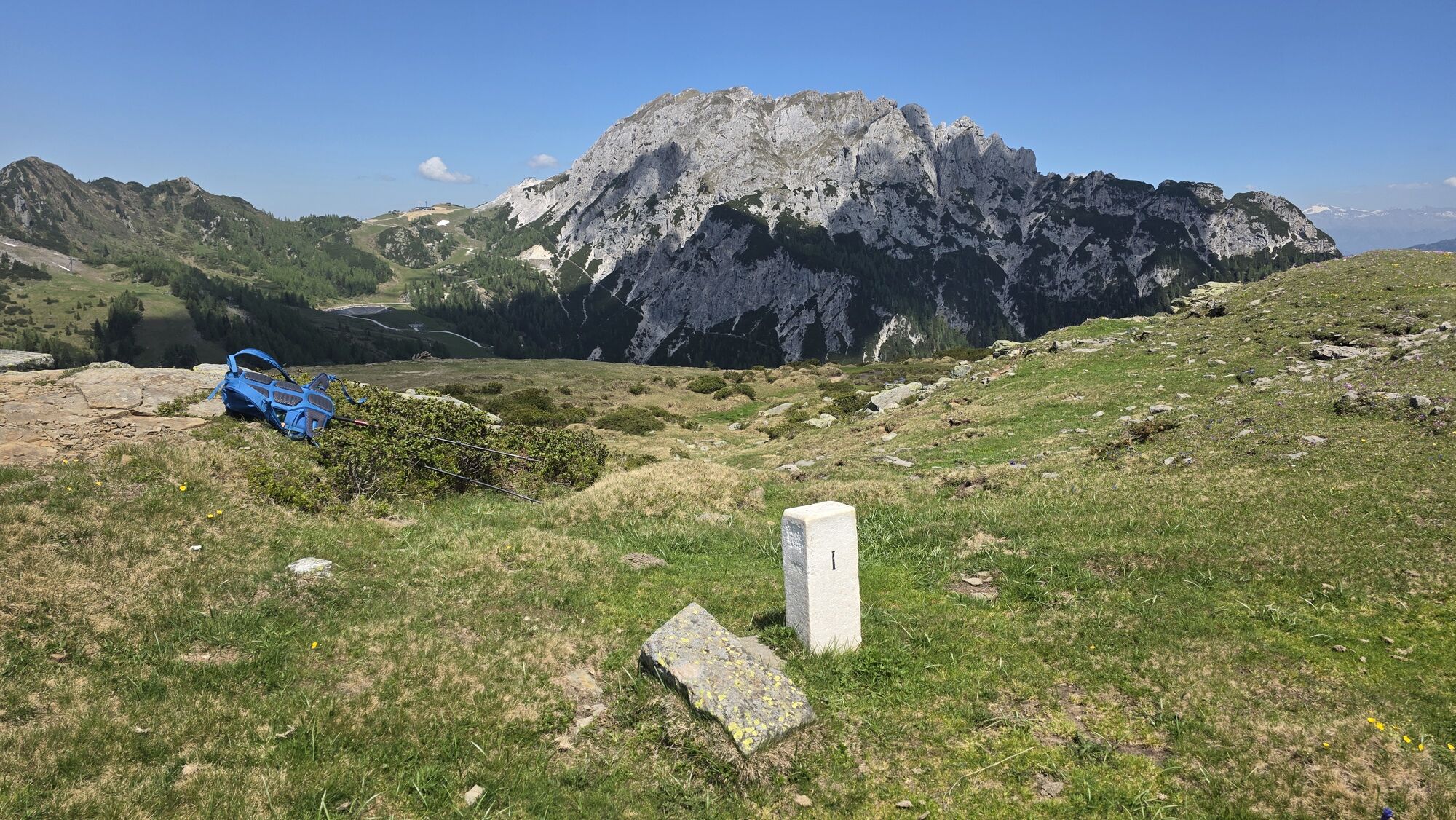
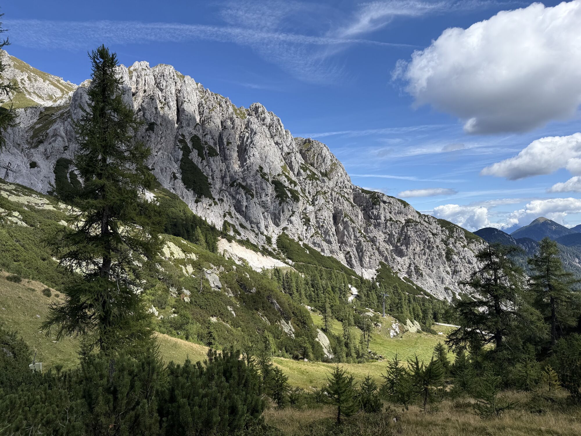
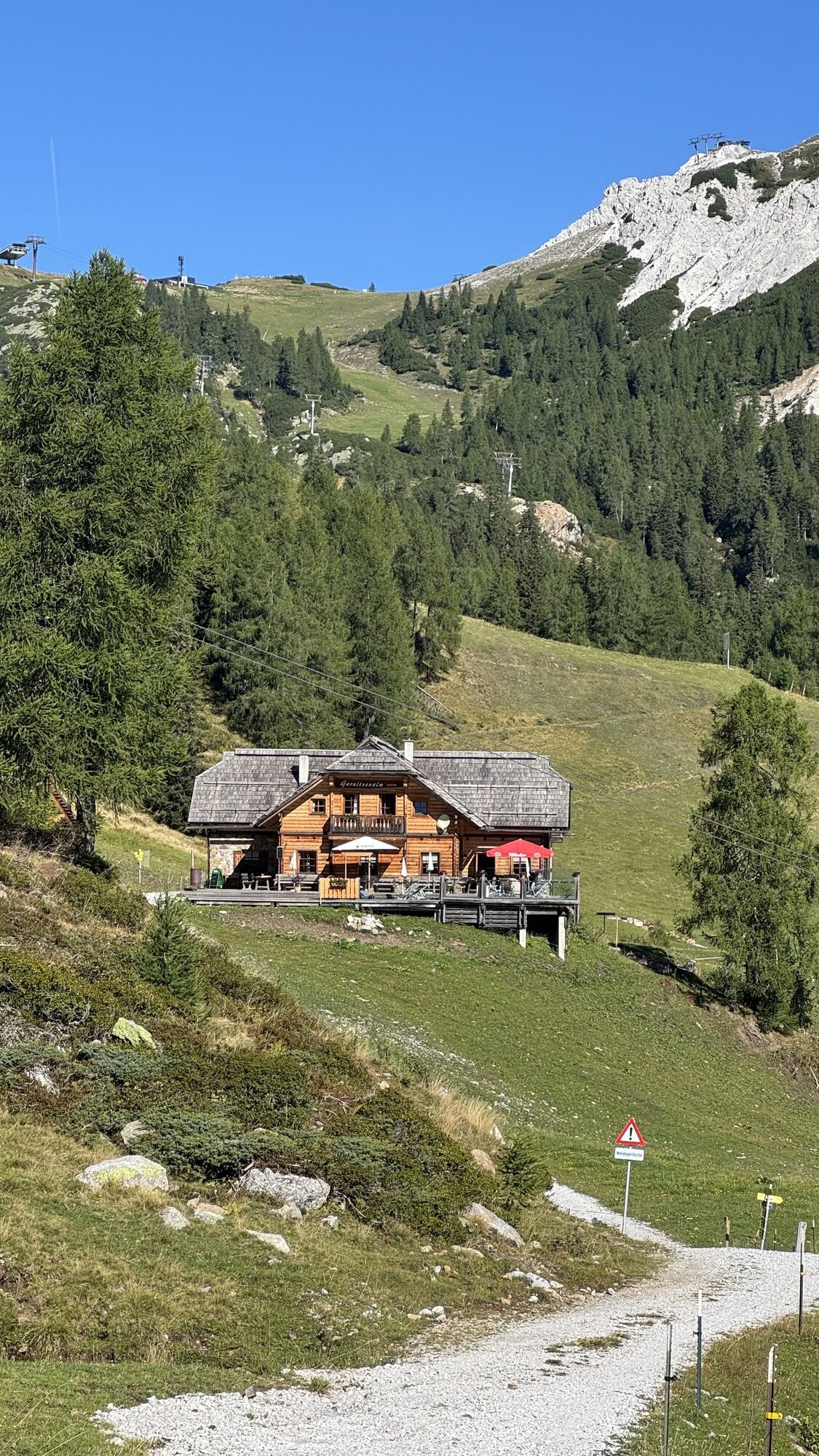

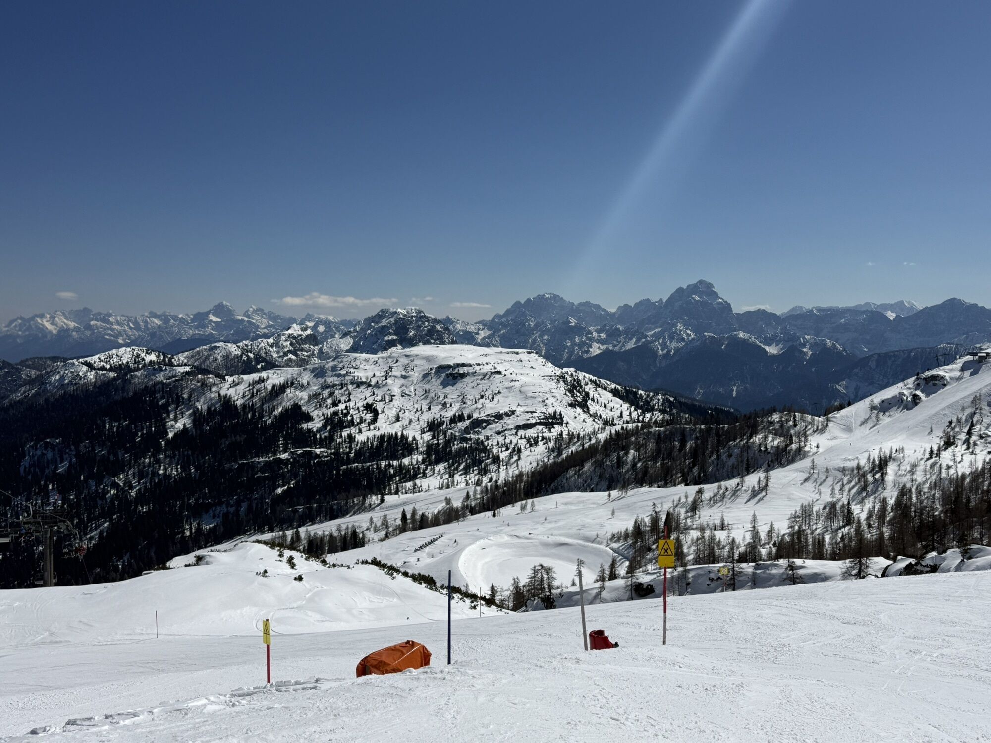
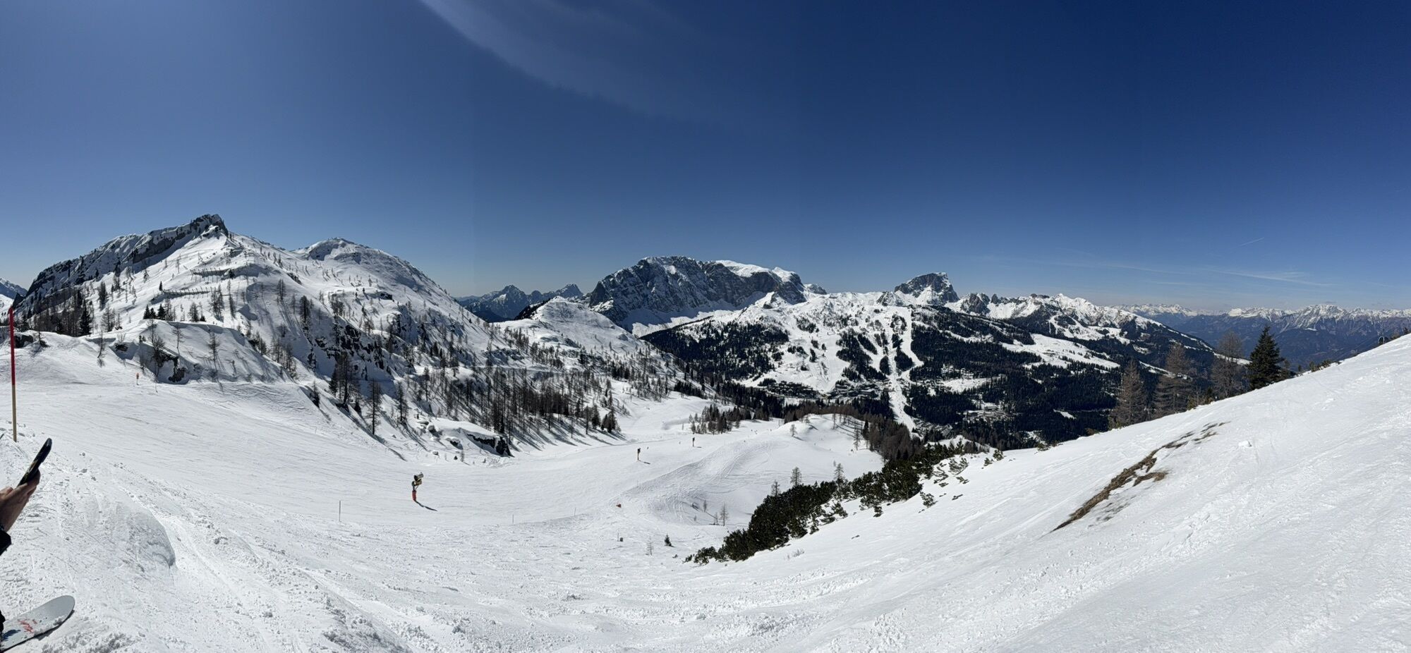
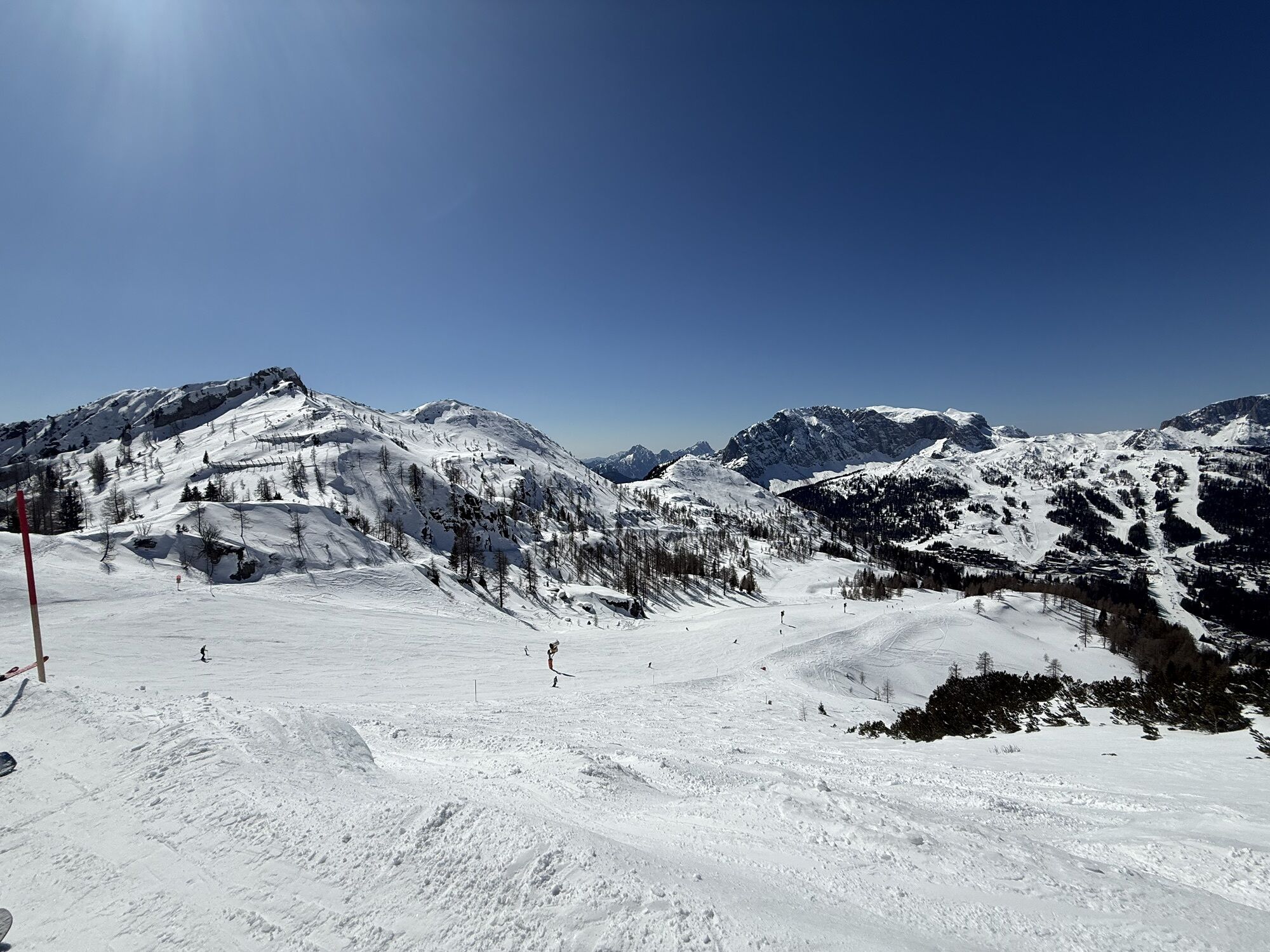
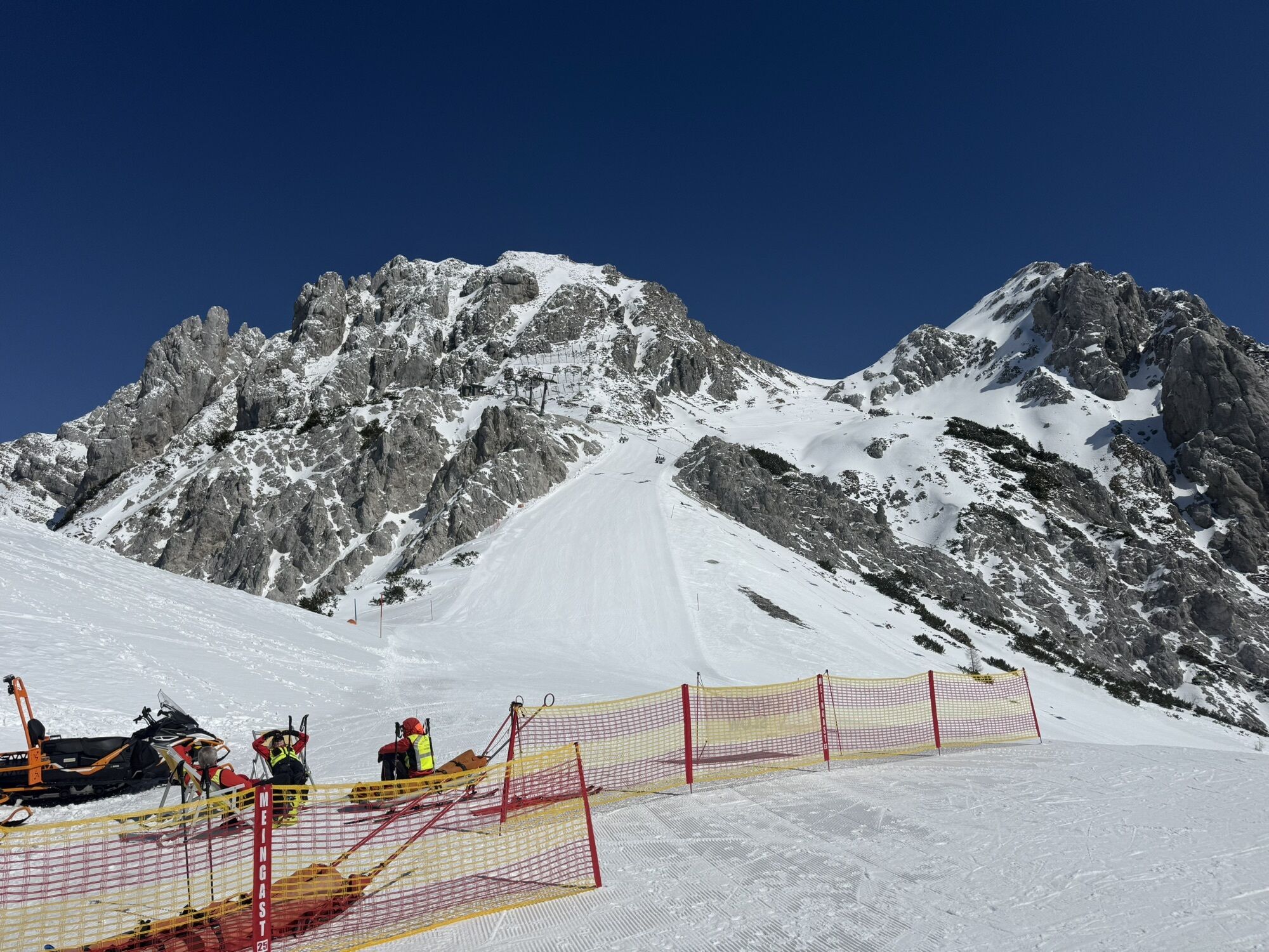
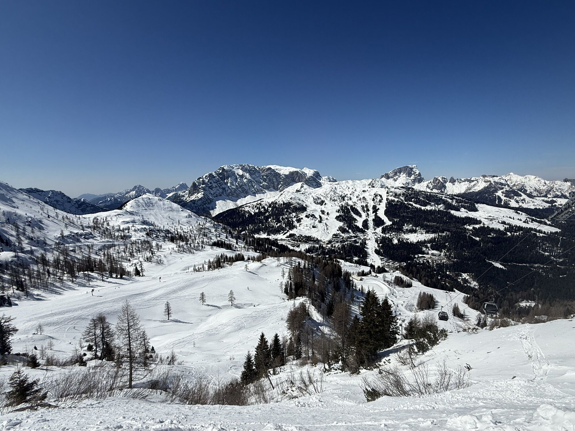
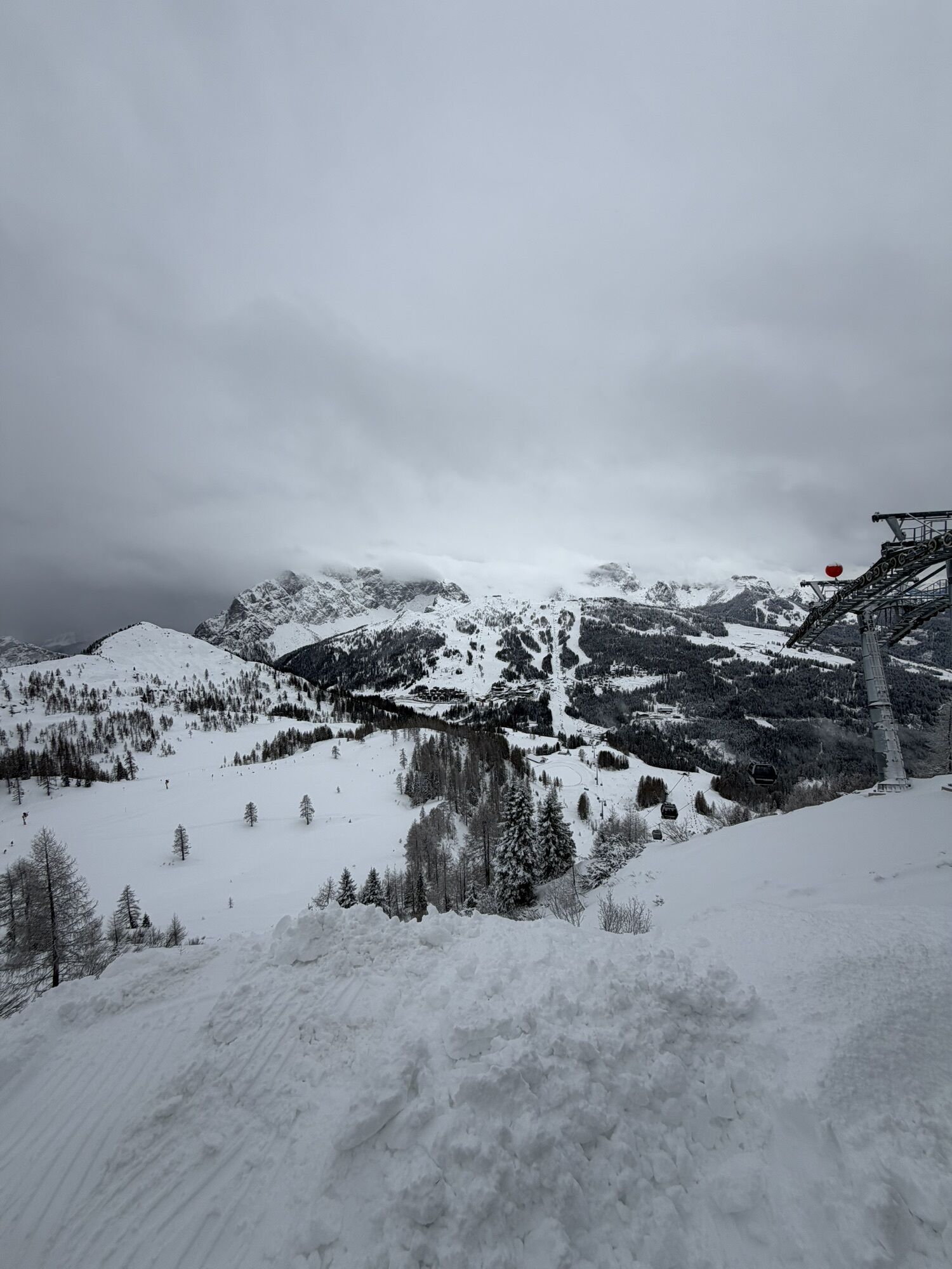


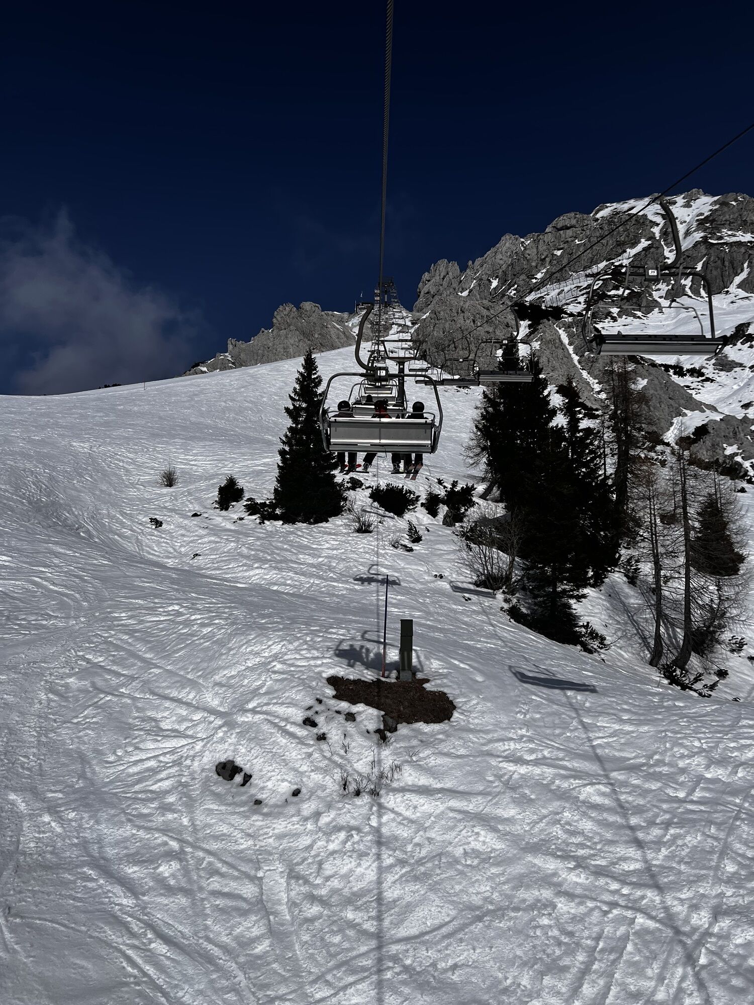
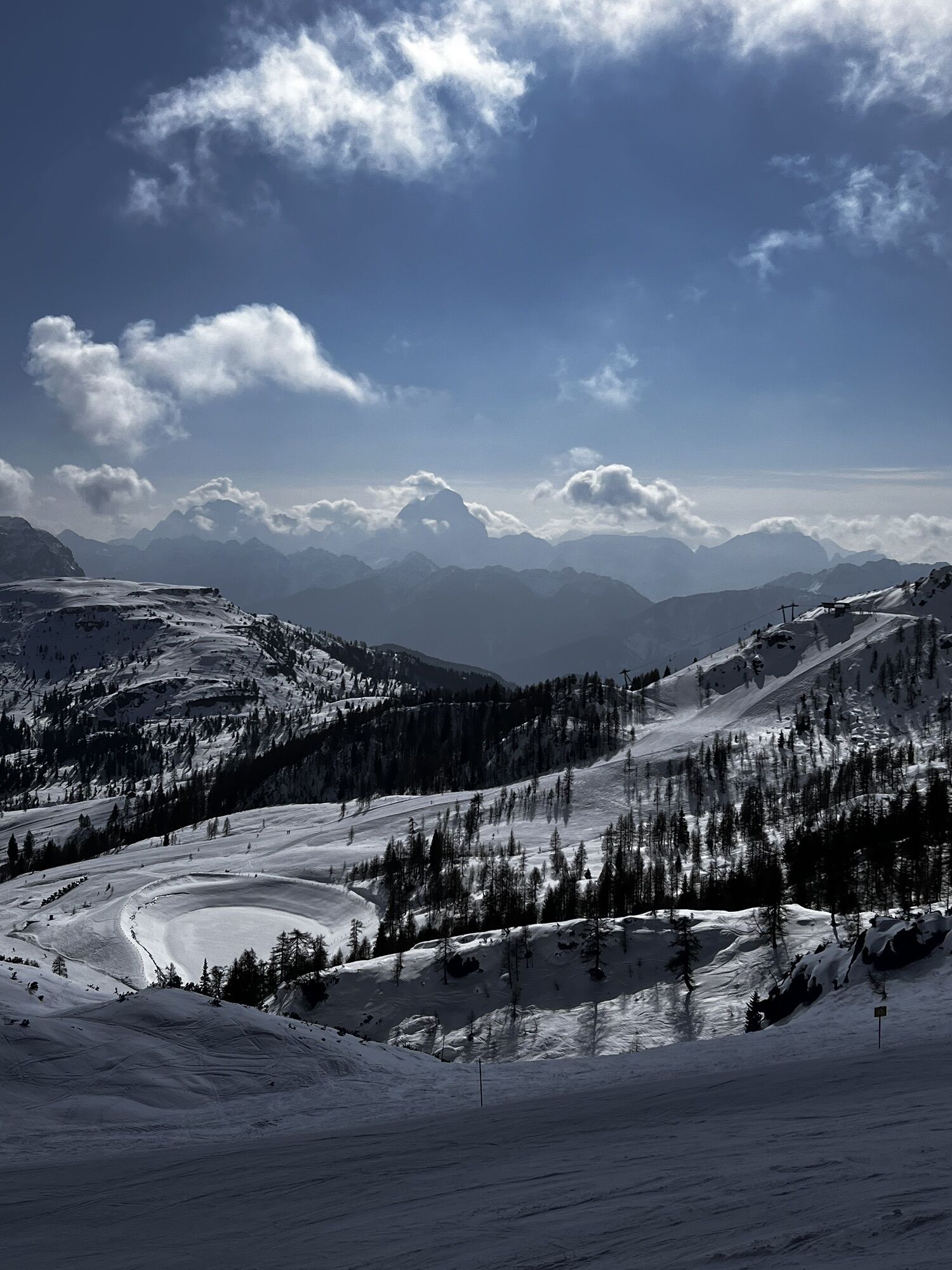
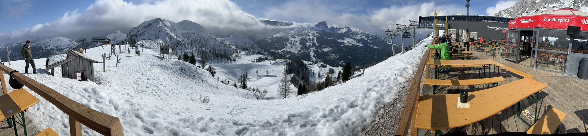
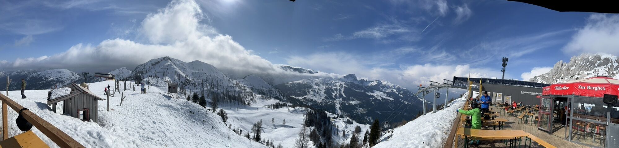

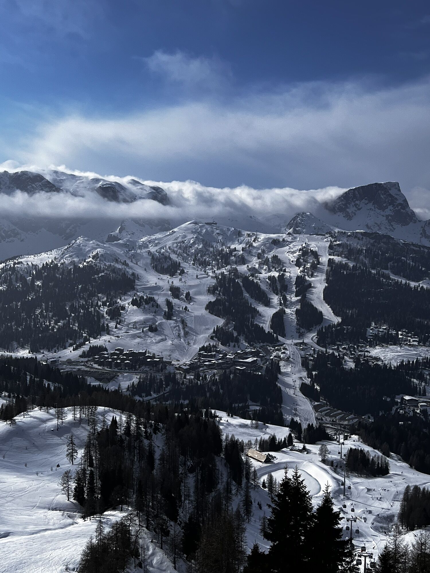
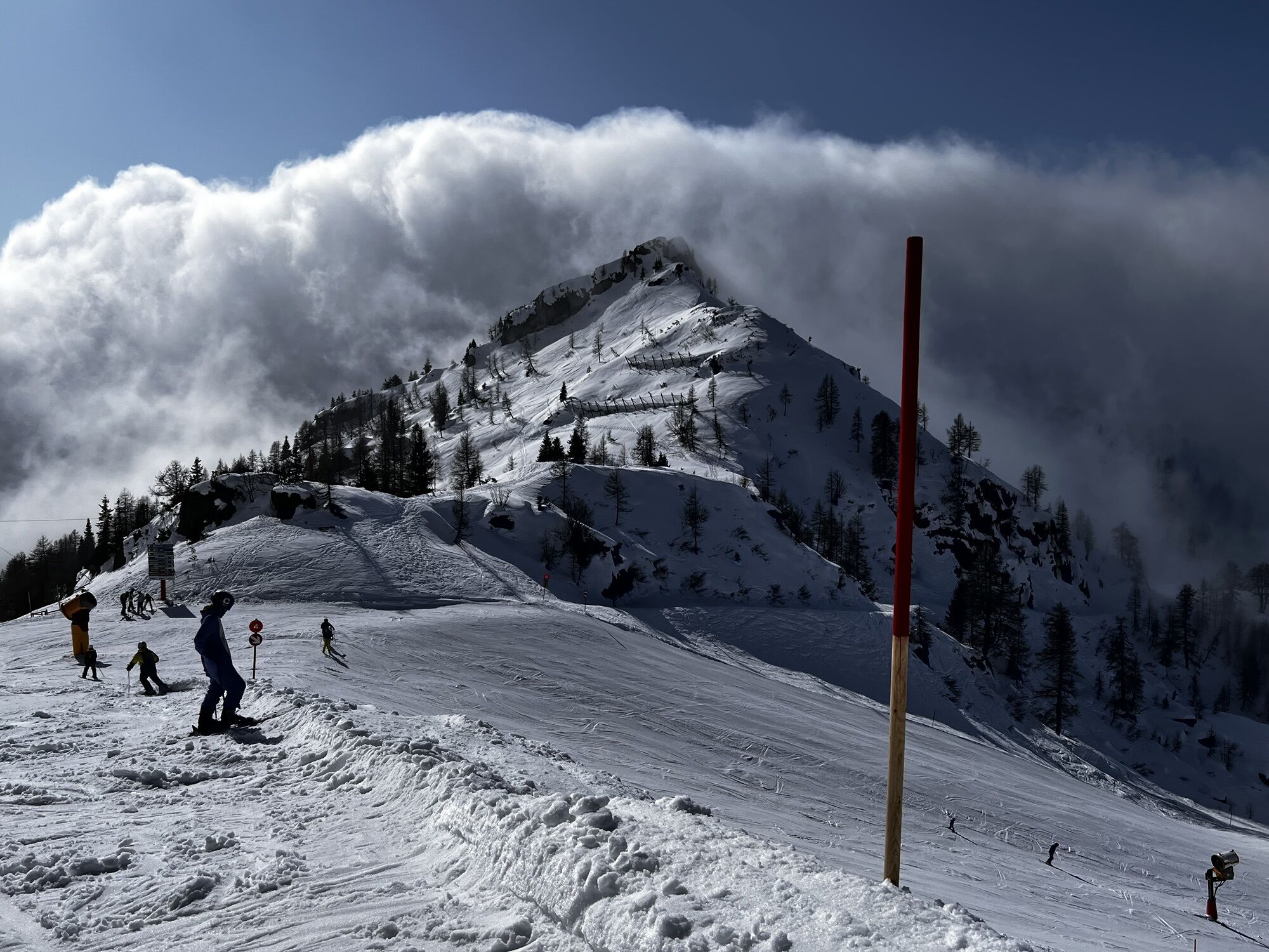
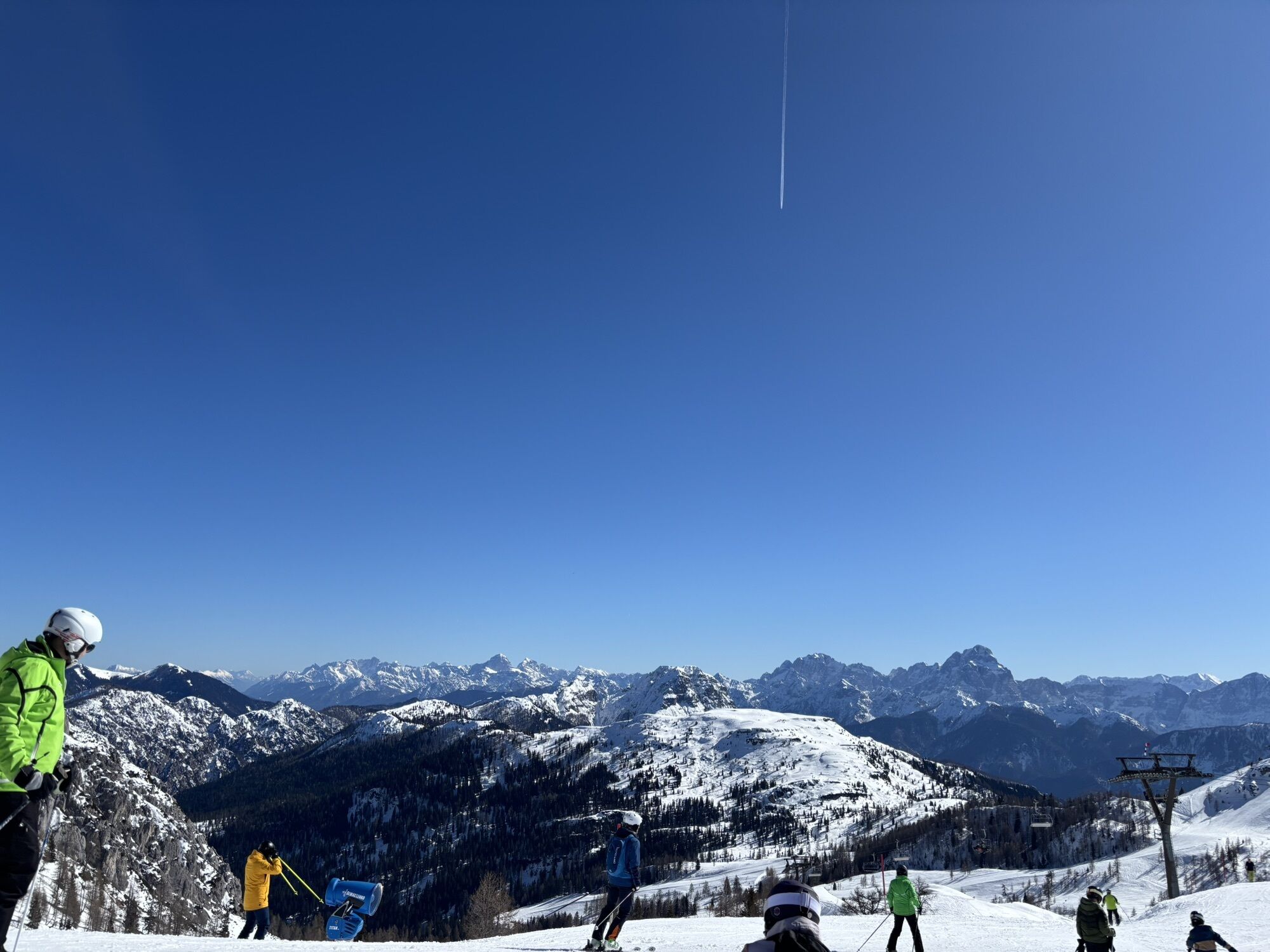
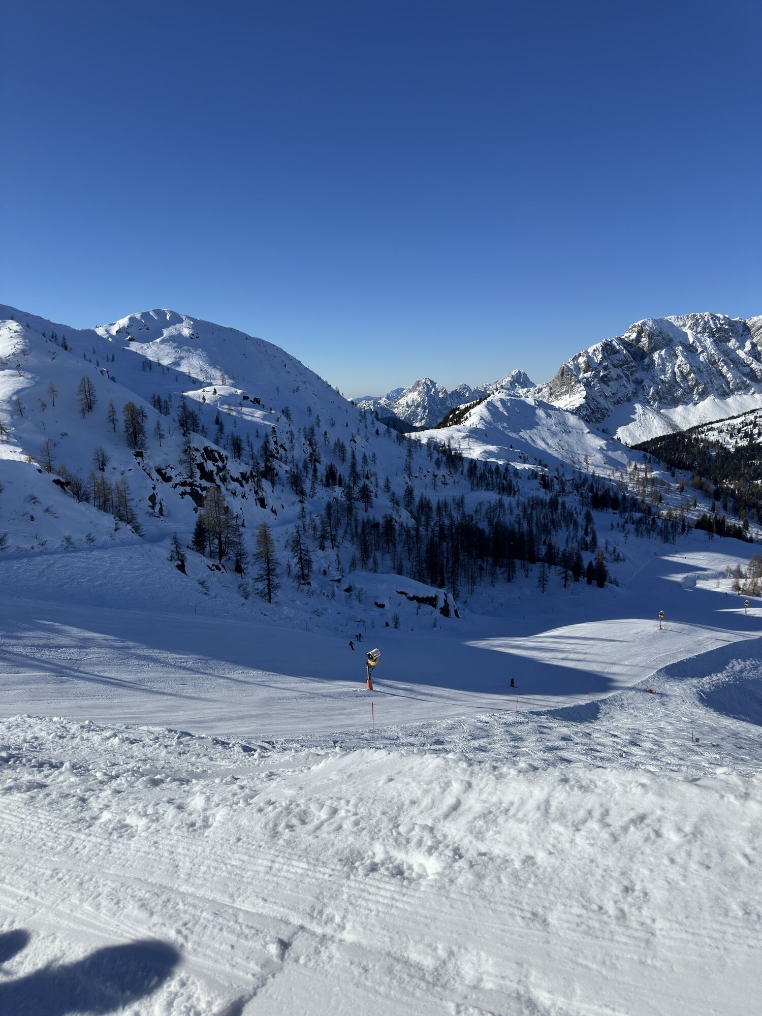
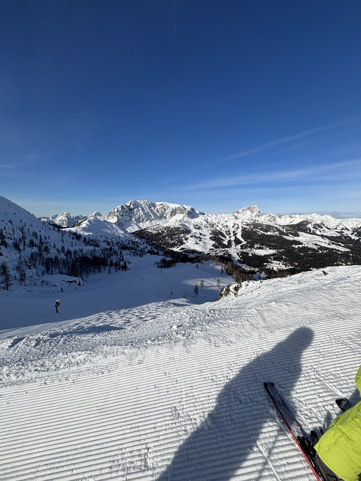
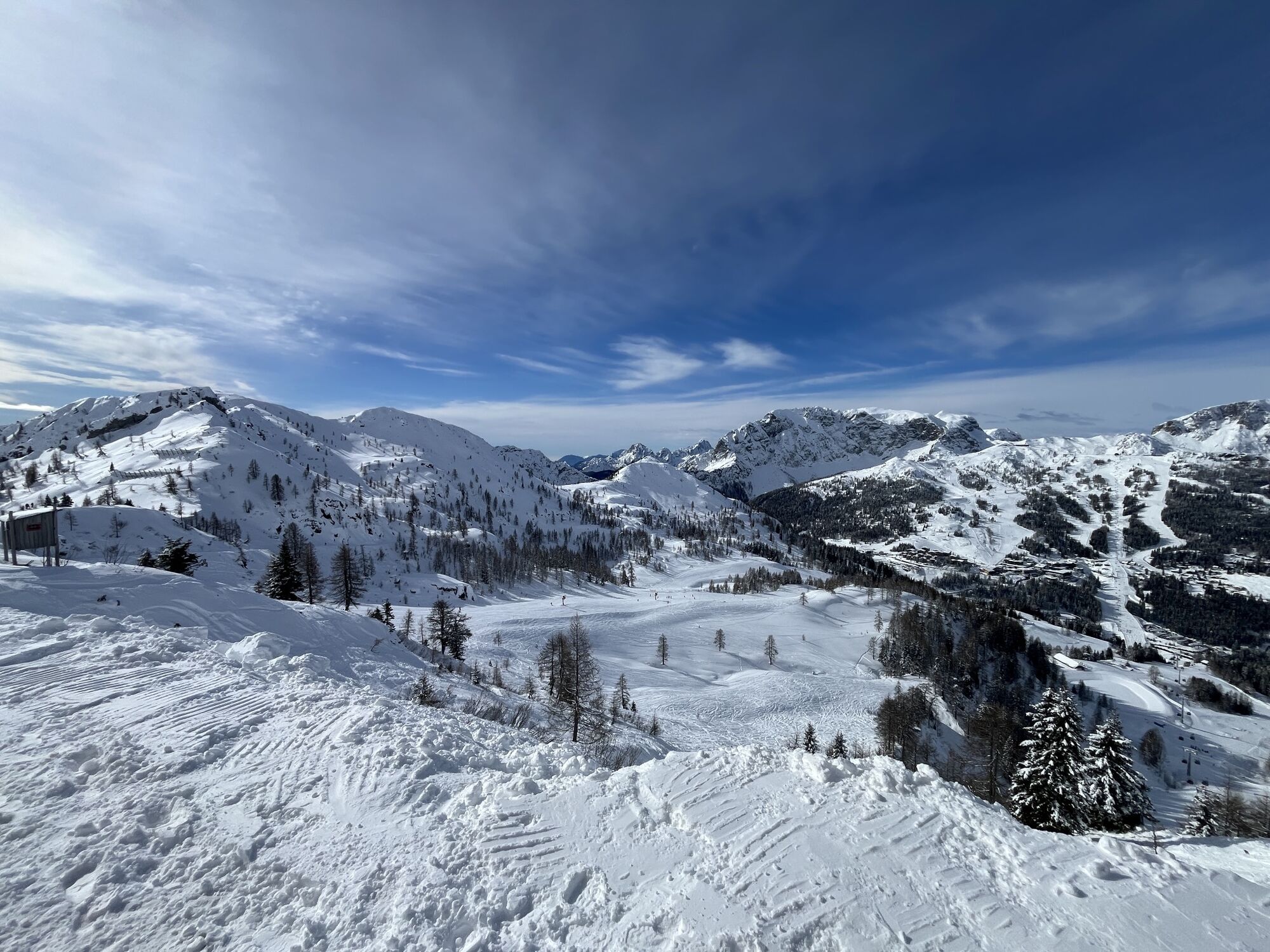
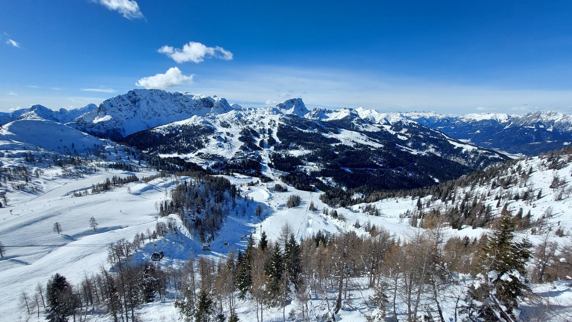
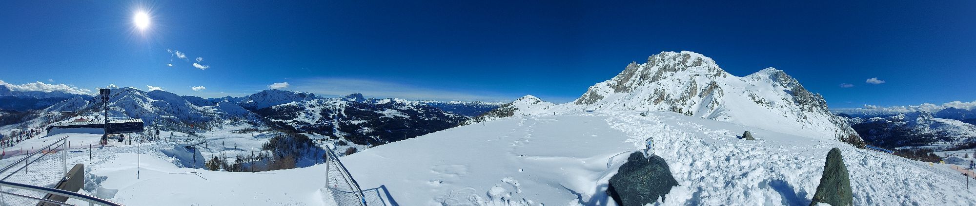
From the mountain station head south to the Garnitzentörl and follow the gravel path or an alpine/forest trail to the Garnitzen reservoir. At the end of the lake, continue along the alpine/forest trail...
From the mountain station head south to the Garnitzentörl and follow the gravel path or an alpine/forest trail to the Garnitzen reservoir. At the end of the lake, continue along the alpine/forest trail or the gravel path to the Garnitzenalm (mountain hut with refreshments). Proceed to the Garnitzen saddle at the border with Italy. Follow the well-marked path up to the Krone summit. Return the same way.



Ano
Ano
Ascent with the Gartnerkofel cable car to the mountain station, which is the starting point of the route.
Parking lot at Gartnerkofel cable car valley station (free parking).
Webové kamery z prohlídky

Oblíbené prohlídky v okolí
-
4.8
Tarvisio - Venzone (C101)
středníCyklistika na velkou vzdálenost 64.7 km -
4.6
RW_N9 Weißenbachklamm
středníTuristika 7.49 km -
4.6
Bergstation Weißensee bis Golz
středníTuristika 14.8 km -
5.0
Bodenalm - Ostufer - mit dem Schiff zurück
Mountainbike 19.1 km -
5.0
Nassfeld Grenze - Gartnerkofel
světloTuristika 8.41 km -
4.2
Jof di Miezegnot 2087m (Malborgether Mittagskofel)
Turistika 9.90 km -
4.9
Weißenbachklamm
heavyTuristika 5.80 km -
4.3
Slow Trail Pressegger See RW_N16
světloTuristika 5.78 km -
4.3
Malurch Nassfeld
středníTuristika 9.60 km -
4.7
Poludnig - der Fast-Zweitausender hihi
středníTuristika 12.4 km
Pěší turistika a stopování


Nenechte si ujít nabídky a inspiraci pro vaši příští dovolenou
Vaše e-mailová adresa byl přidán do poštovního seznamu.


