







Large Circular Route
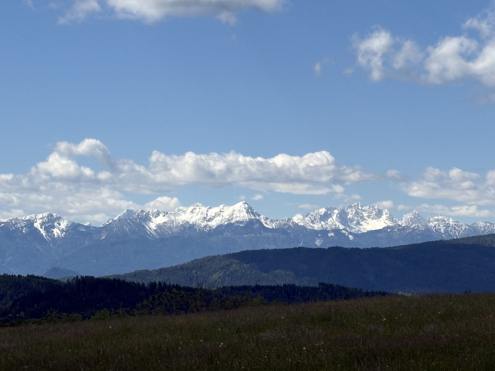
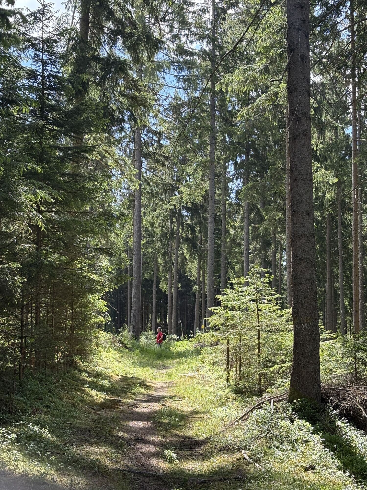
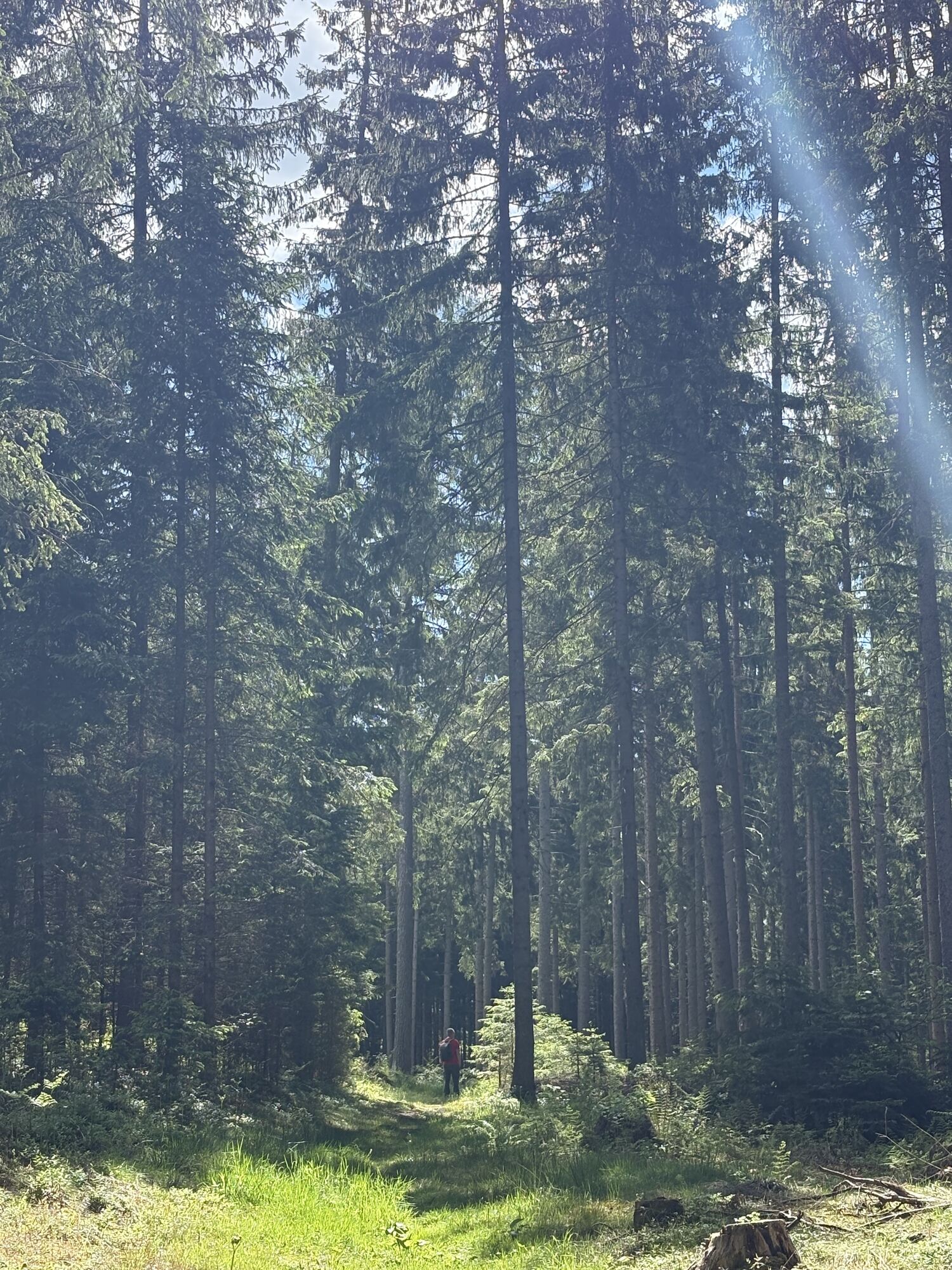
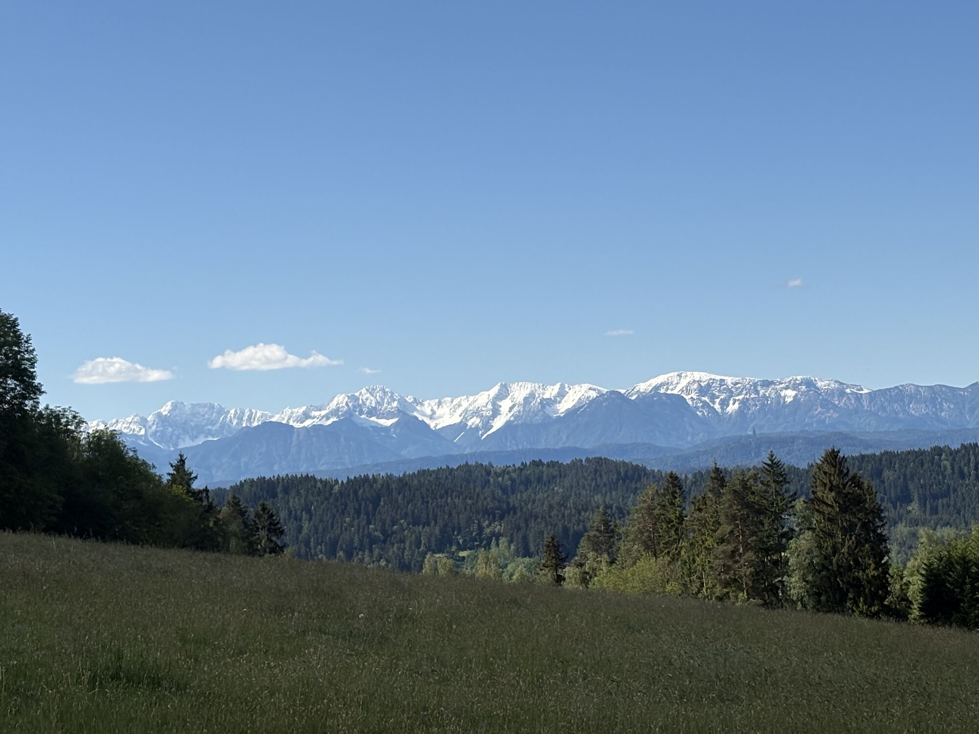
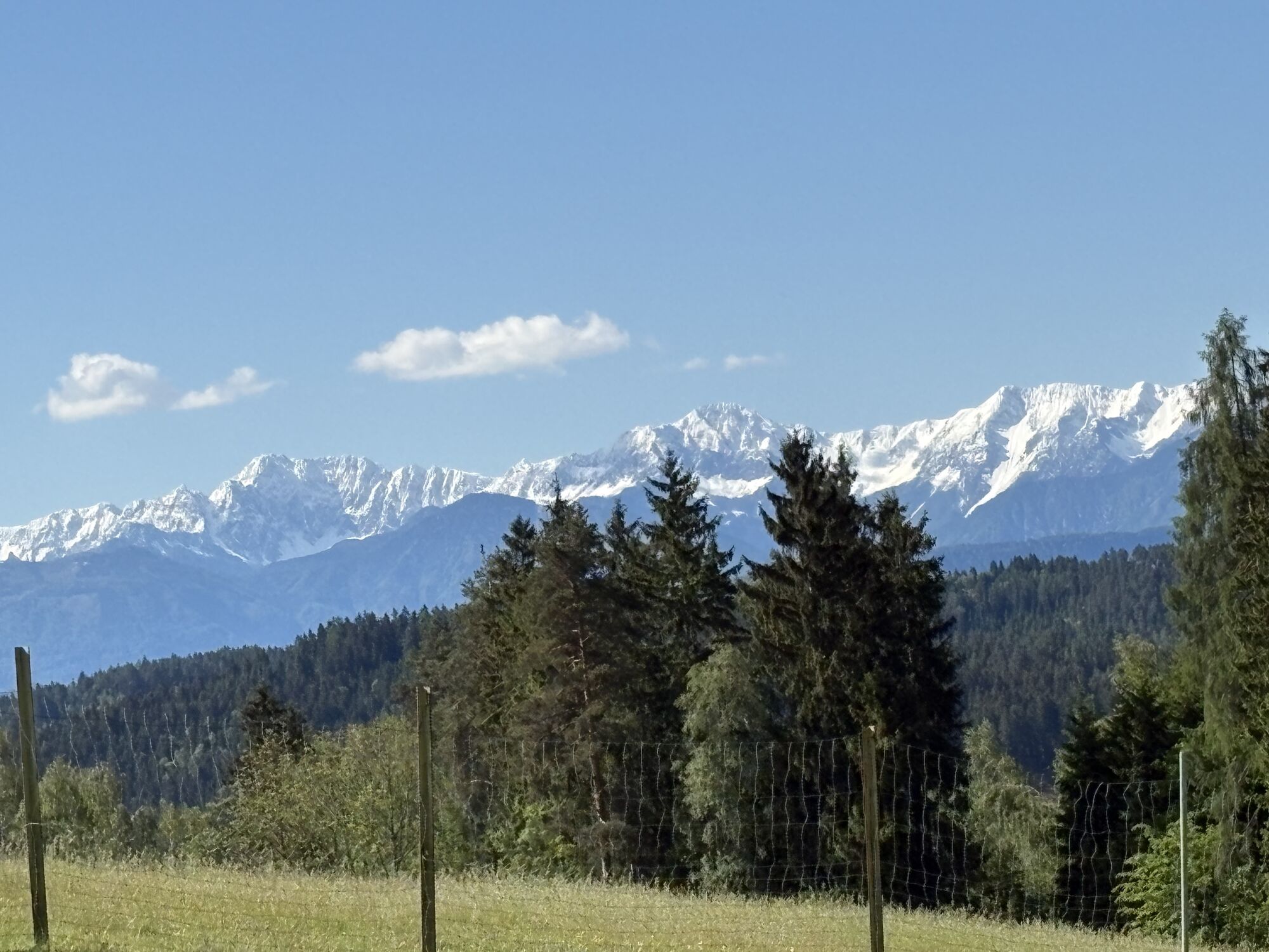
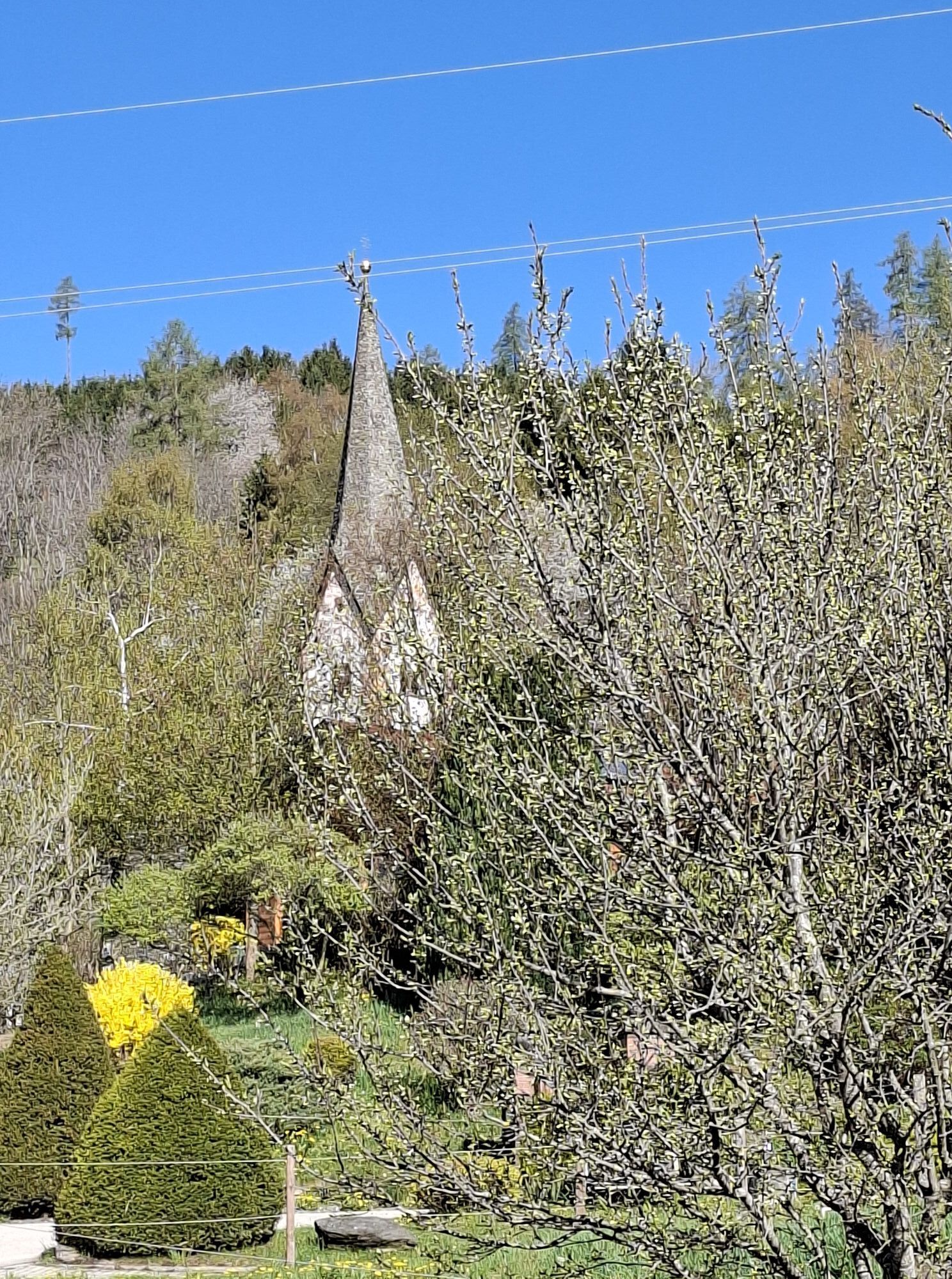
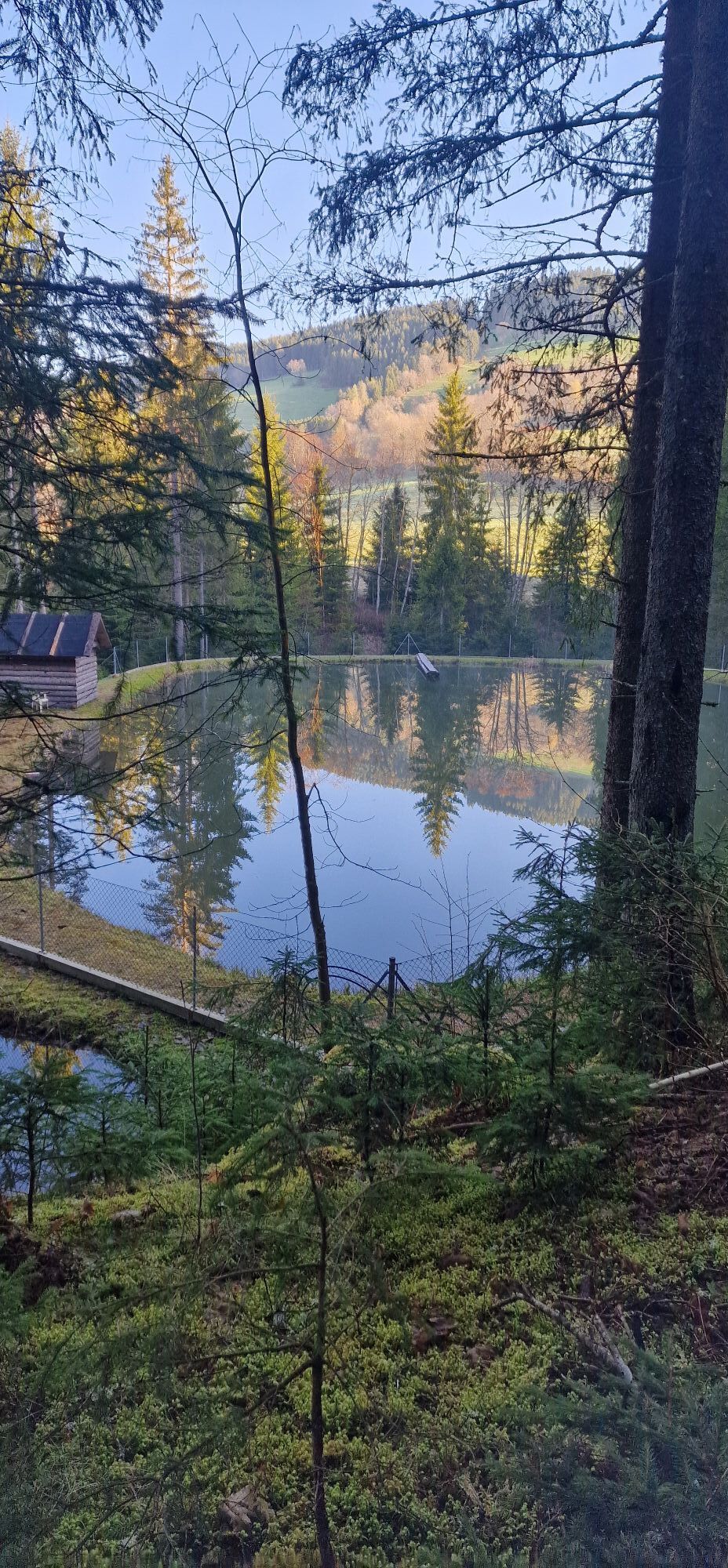
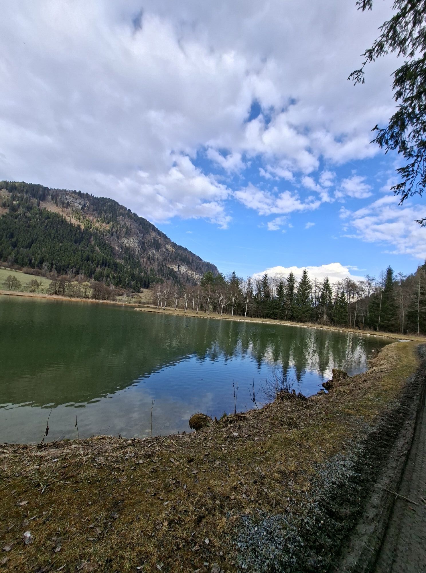
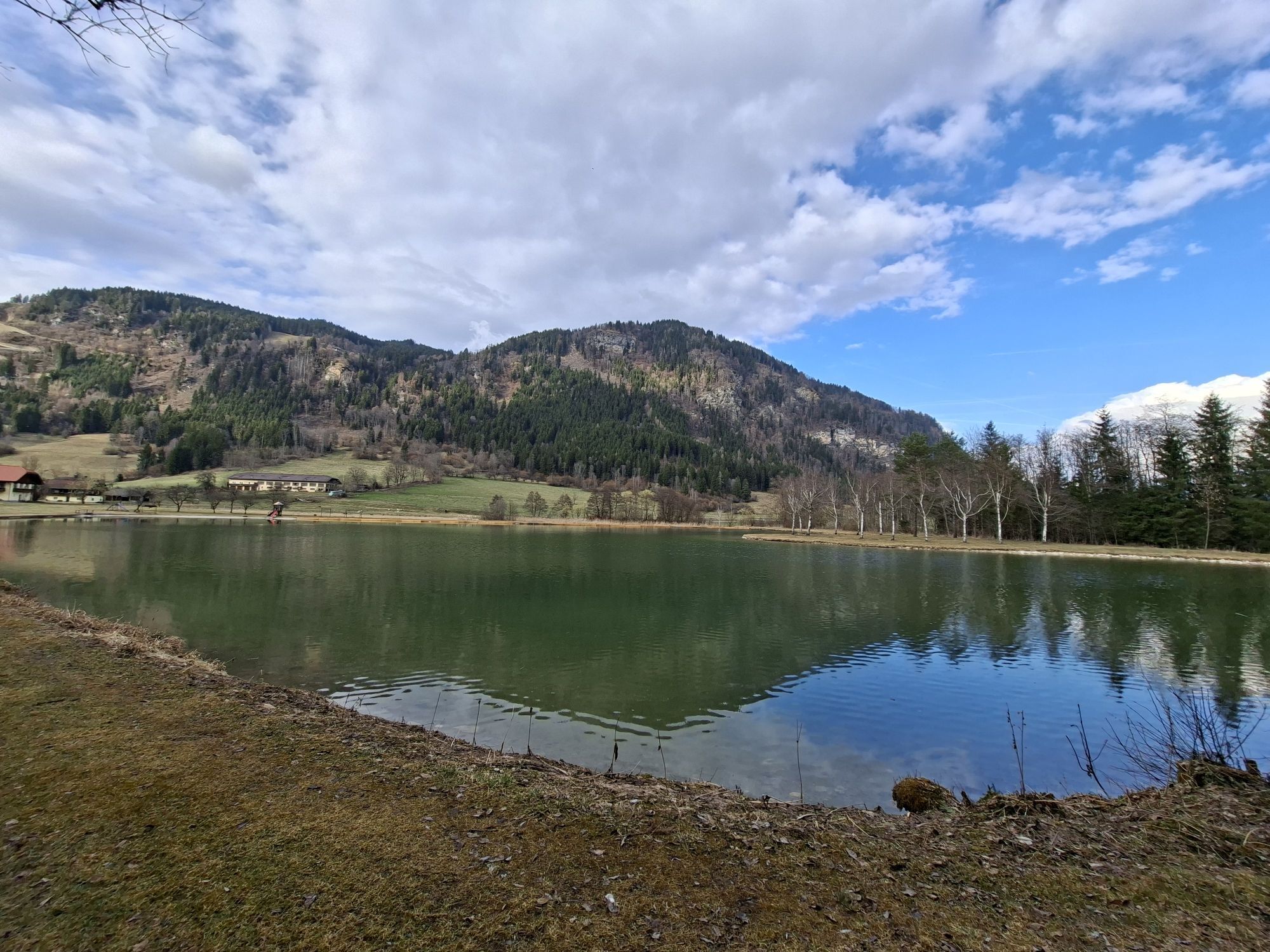
The Large Circular Route in Liebenfels offers hikers a wonderful opportunity to discover the diverse nature and historic sights of the Carinthia region. With a length of about 15 kilometers, this well-marked...
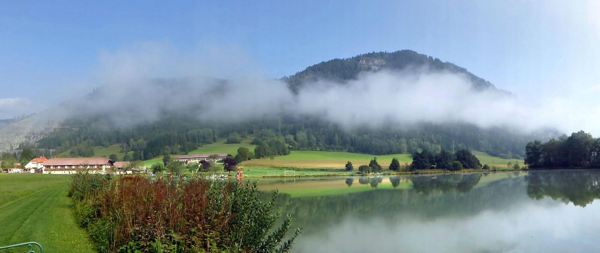
The Large Circular Route in Liebenfels offers hikers a wonderful opportunity to discover the diverse nature and historic sights of the Carinthia region. With a length of about 15 kilometers, this well-marked circular route leads through forests, meadows, and past impressive castle ruins. The Large Circular Route in Liebenfels is a varied hike that equally delights nature and history lovers. With its diverse landscapes and historic sights, it offers a comprehensive experience of the Carinthian region. Ideal for families, hikers, and anyone who wants to explore the beauty and culture of this area. The Large Circular Route in Liebenfels is a picturesque and varied hike that provides deep insight into the nature and history of the Carinthia region. With a total length of about 15 kilometers, the circular route is excellent for a day trip.

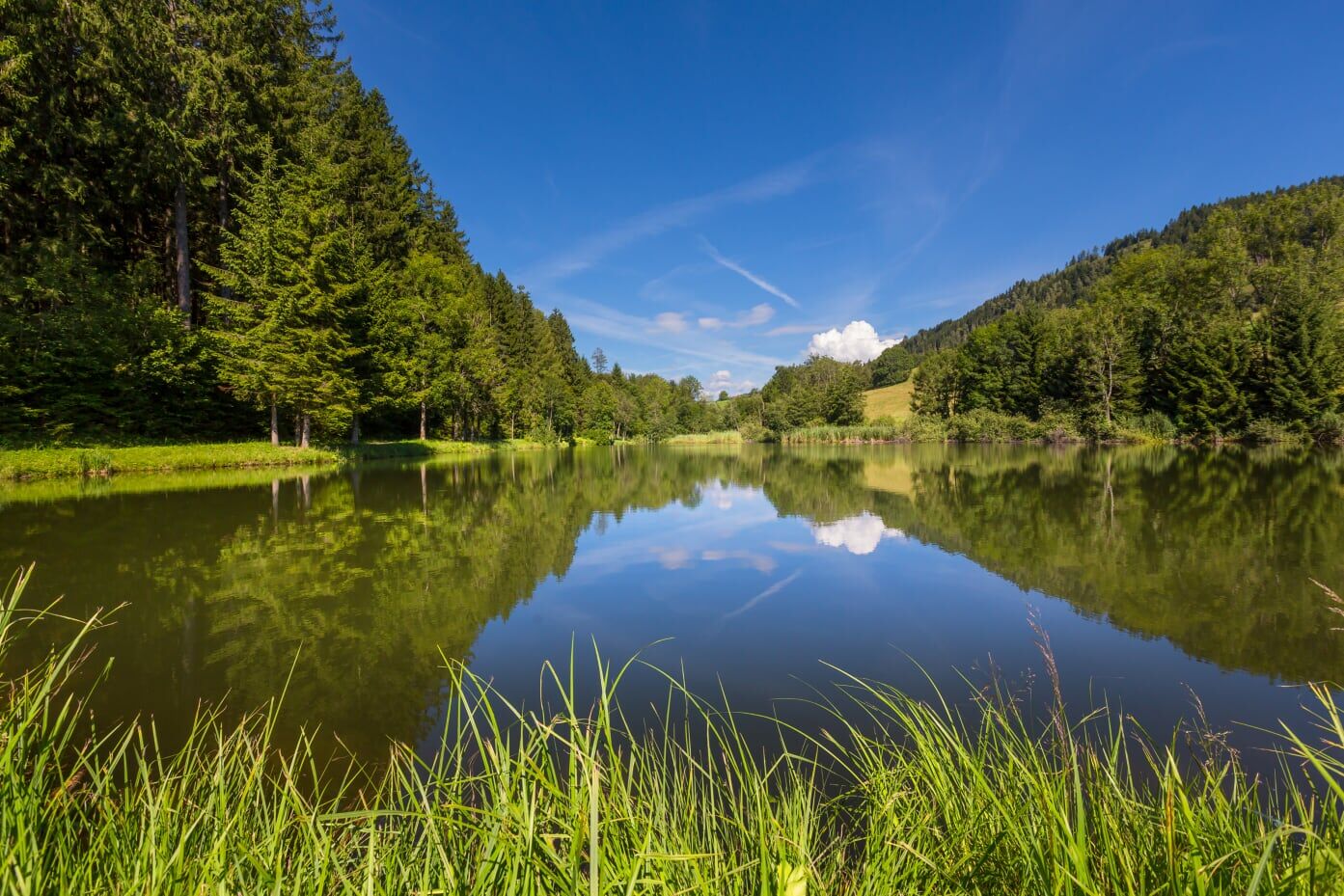
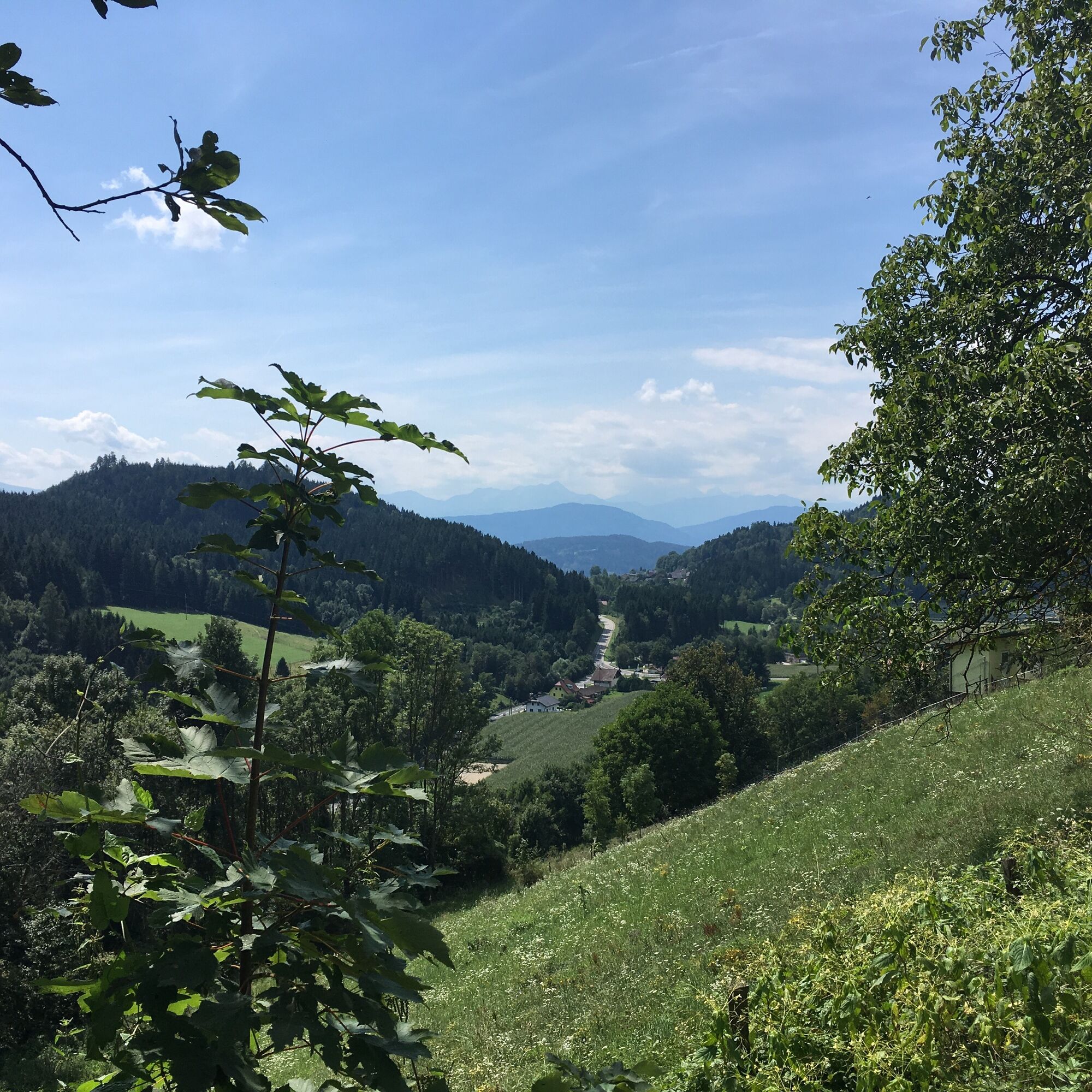
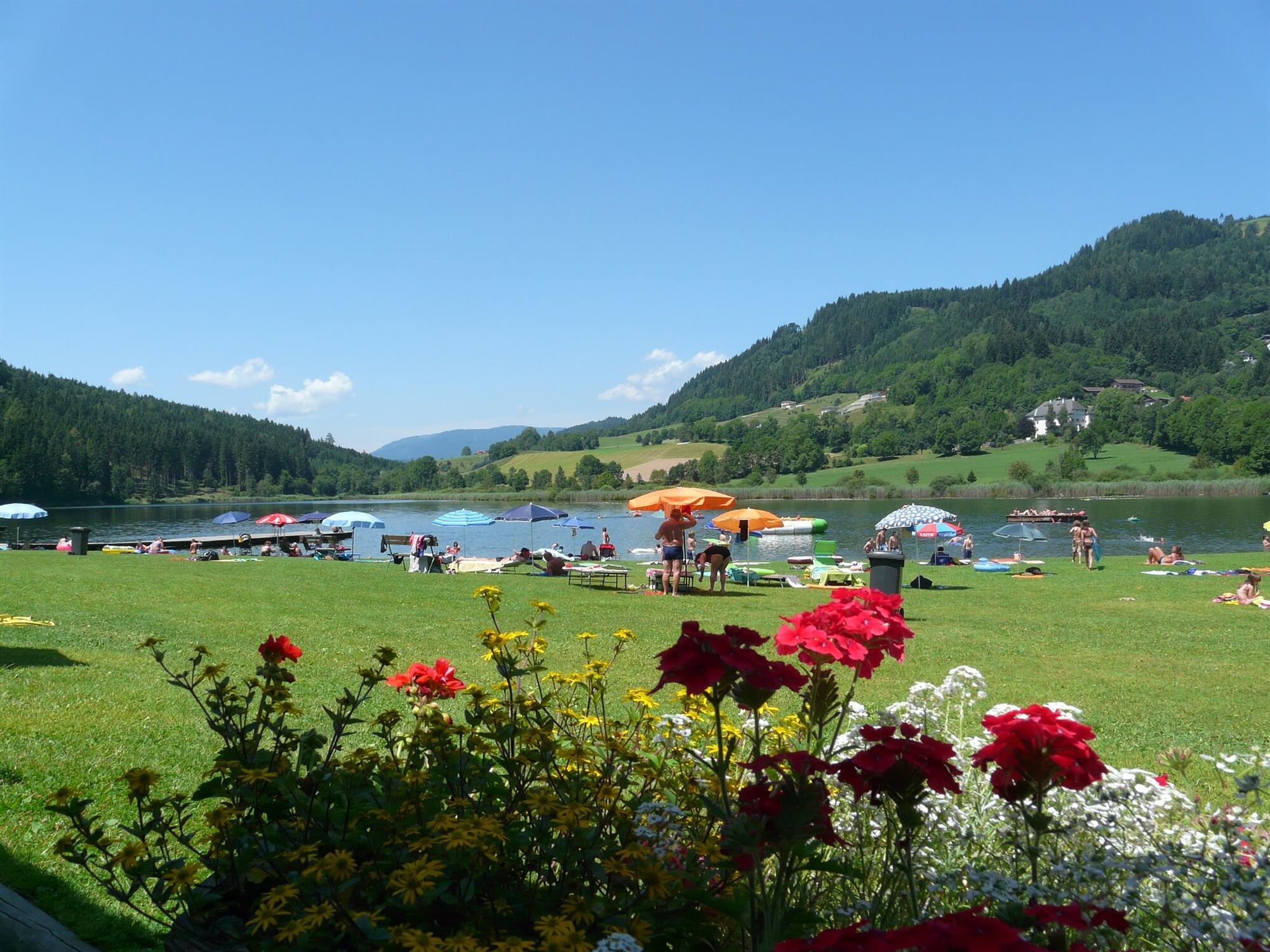
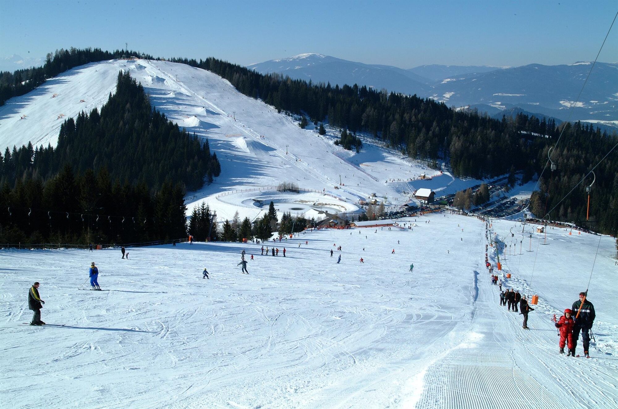

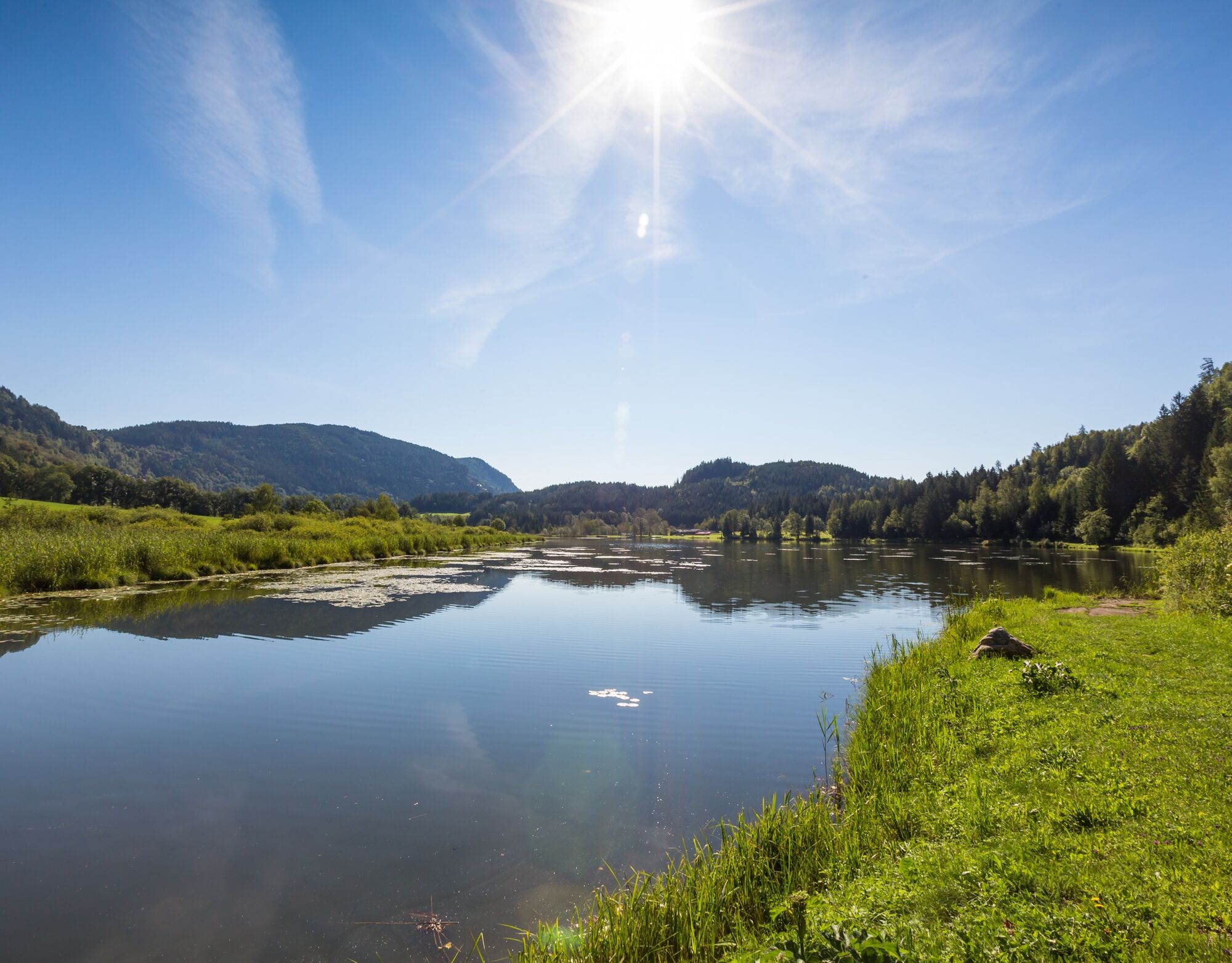
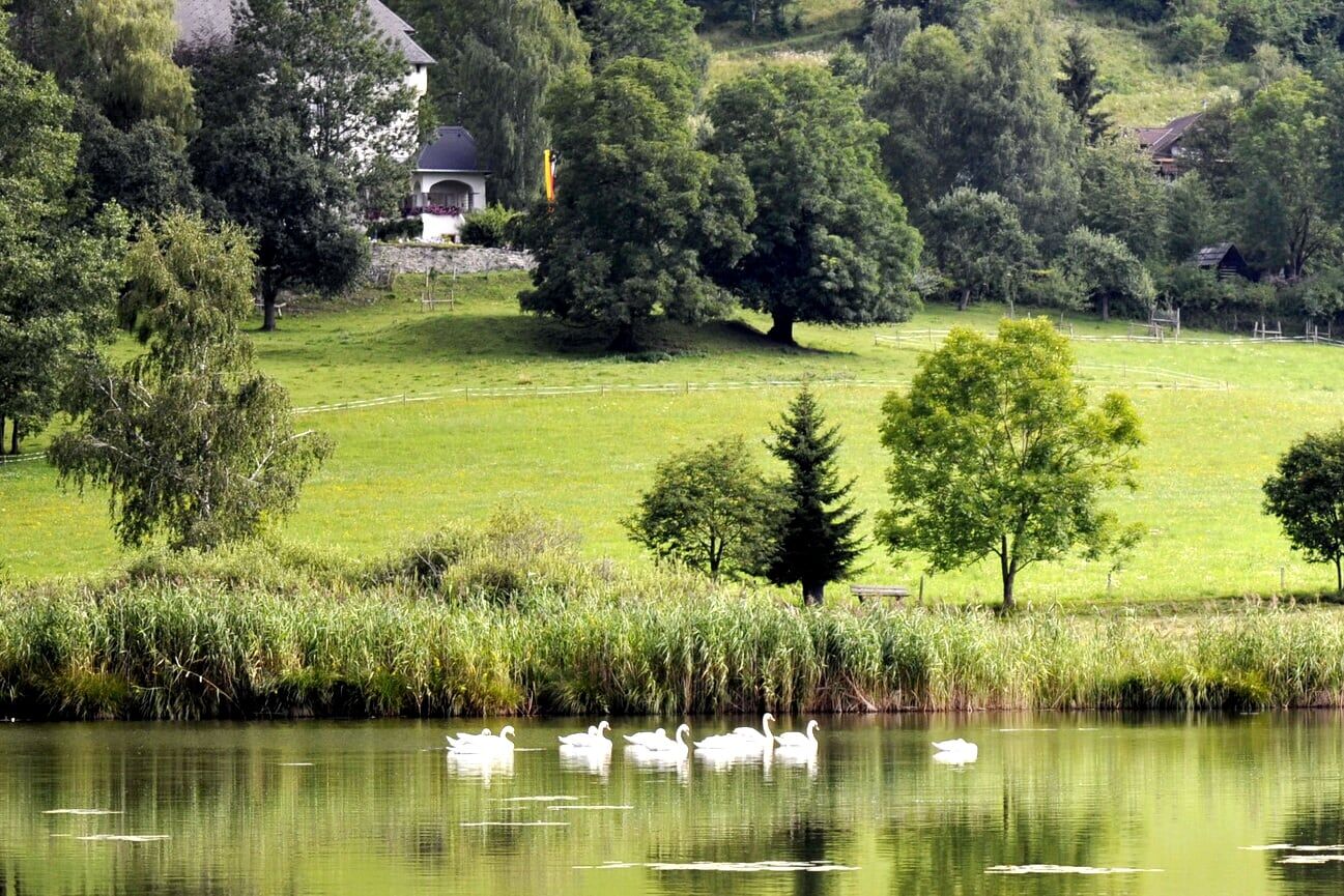
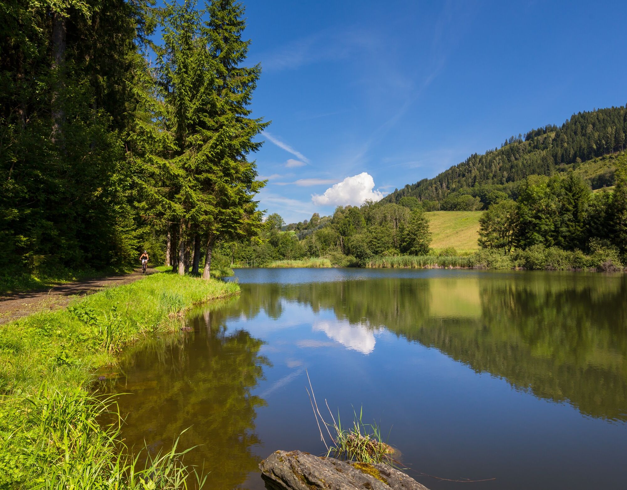
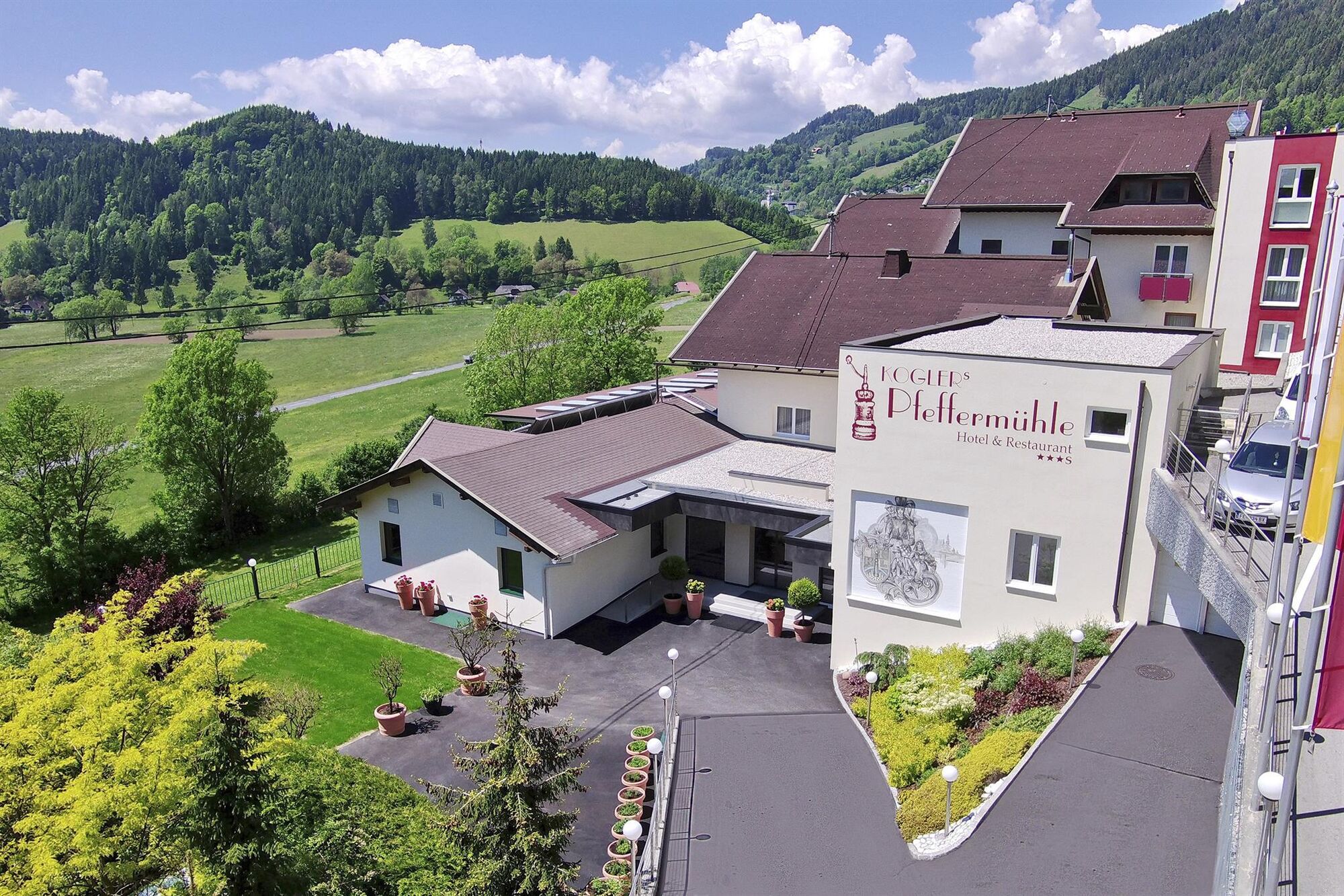


You start at the Pfeffermühle and head north along the Kaponweg first over steps and then along the forest path to Oberdorf. Here you turn left and follow the path south, crossing Liemberger Straße, go briefly right on it and then left again into Stattenberger Straße. You arrive at Tumpf and then at Rottendorf.
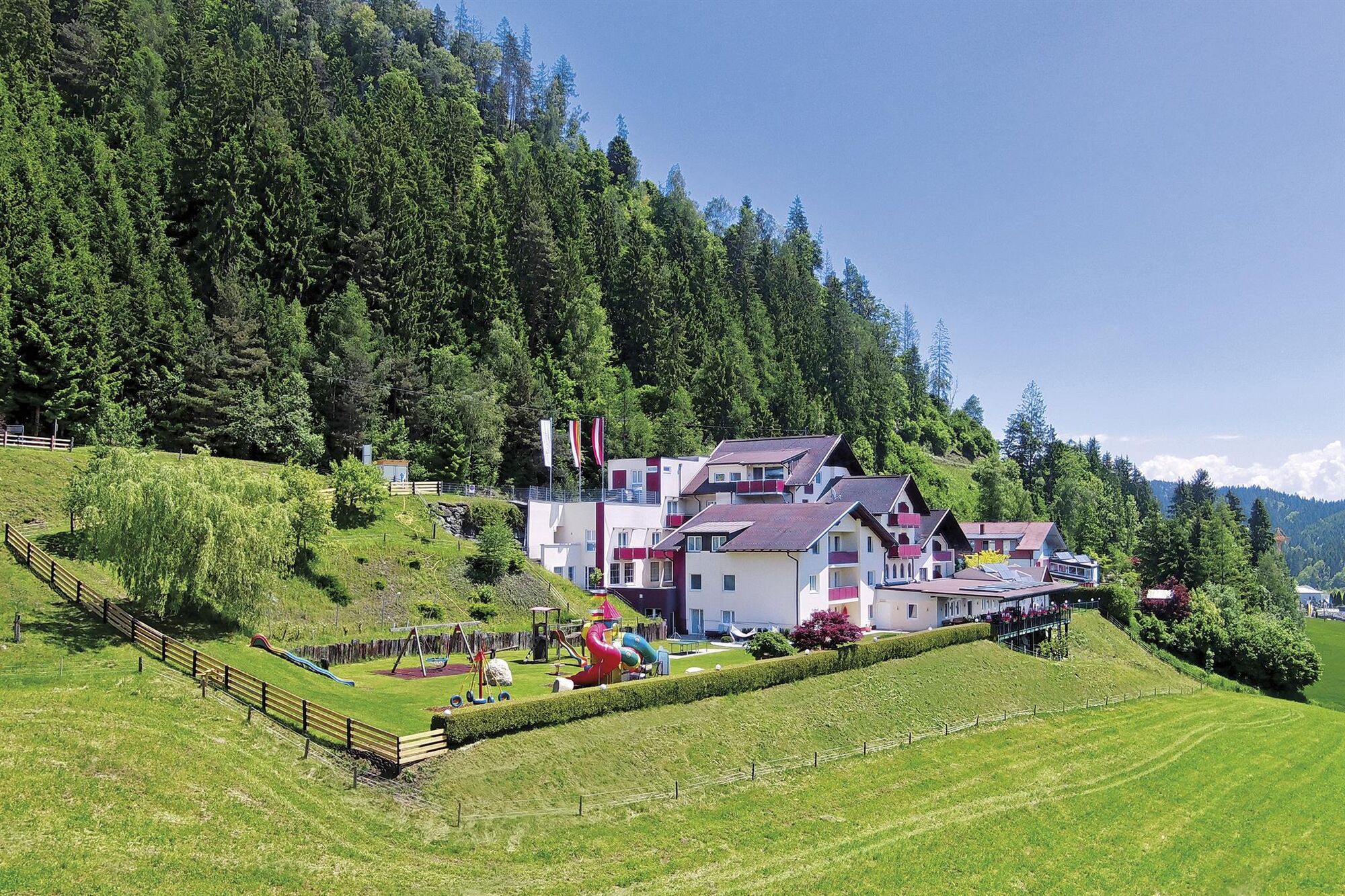
In Rottendorf, turn left and follow the signposted "Panoramaweg-Krobathen" uphill. At the junction "Zwattendorf" turn left until you reach Hotel Thalhof. Before that, go right past the private lake and reach a fork in the path. Here you go left and return to Liemberger Straße. Cross it and follow the "Vierbergeweg" (red V) signs to Liemberg. You go uphill past the church to the left and follow the "Rundweg Gragenegg - Dobra Moor"
After the moor, follow the signposted "Hoch St. Paul Weg", which leads straight to Gasthof Reidnwirt. Past the inn on the left, walk along the street until you reach Simonhöhe Straße. Cross it and turn left at Predlkreuz. You pass through Strakler Hof and then down a bend of Simonhöhe Straße. Shortly after, turn left and follow a forest path down to Pfeffermühle.
Ano
sturdy footwear, suitable clothing, and a water bottle
Inform someone where you are going and when you will be back
By car from Feldkirchen and St. Veit via the B94 St. Urban junction. Continue on L68a Simonhöhe until the Zwattendorf / Pfeffermühle junction.
To the town of St. Urban line 5223/25 Feldkirchen in Carinthia - St. Urban/Klein St. Veit
Parking lot at Pfeffermühle
can be found at the info office
breathtaking nature
Získejte přehled
Vždy živě na místě s více než 9 500 webkamerami. bergfex Jako uživatel Pro si nyní můžete zobrazit odpovídající webové kamery pro mnoho prohlídek v aplikaci prohlídky z. Můžete si tak přímo prohlédnout aktuální podmínky.
Oblíbené prohlídky v okolí
-
5.0
Wörthersee EXTREM
heavyTuristika 60.1 km -
4.5
Hoher Gallin route
středníTuristika 7.09 km -
4.4
Lake Wörthersee Circular Route
středníJízda na kole 41.2 km -
4.7
Zillhöhe
středníBěh 7.94 km -
4.7
Abenteuer-Wasser-Weg
středníTuristika 9.13 km -
4.7
Vierbergelauf
středníPoutní stezka 47.6 km -
4.1
Slow Trail Bleistätter Moor (Variant A)
světloTuristika 7.22 km -
4.5
Ulrichsberg
světloTuristika 5.60 km -
4.2
Slow Trail Brahmsweg
středníTuristika 5.86 km -
4.9
Slow Trail Maltschacher See - large loop
světloTematická stezka 7.04 km
Pěší turistika a stopování


Nenechte si ujít nabídky a inspiraci pro vaši příští dovolenou
Vaše e-mailová adresa byl přidán do poštovního seznamu.





