


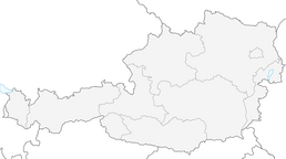


Nockberge Trail: Hiking route stage 3 - NOTE: The Donnerschlucht is currently (status August 2024) closed due to storm damage. A detour has been established.
Úroveň obtížnosti: T2
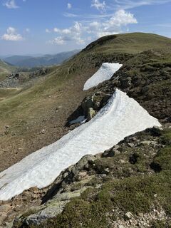
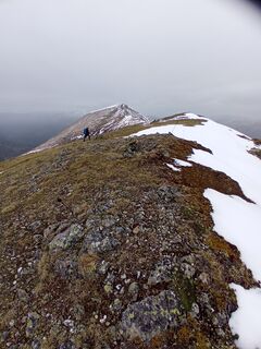
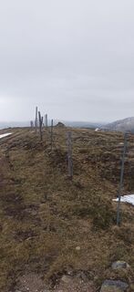
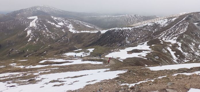
Fotografie našich uživatelů
-
 © Stefan Müller 22Vytvořeno dne 21.09.2025
 -
 © Stefan Müller 22Vytvořeno dne 21.09.2025
 -
 © kanaufVytvořeno dne 20.09.2025
 -

 © Andreas ScheiberVytvořeno dne 19.09.2025
 -
 © Albert GrillitschVytvořeno dne 08.09.2025
 -
 © Susann HerfurthVytvořeno dne 28.08.2025
 -
 © Susann HerfurthVytvořeno dne 26.08.2025
 -
 © MarioVytvořeno dne 25.08.2025
 -
 © MarioVytvořeno dne 25.08.2025
 -
 © MarioVytvořeno dne 25.08.2025
 -
 © MarioVytvořeno dne 25.08.2025
 -
 © Manfred ZarnhoferVytvořeno dne 15.08.2025
 -
 © Katl23Vytvořeno dne 10.08.2025
 -

 © Hannes GelterVytvořeno dne 13.06.2025
 -
 © Hannes GelterVytvořeno dne 13.06.2025
 -
 © Hannes GelterVytvořeno dne 13.06.2025
 -
 © Hannes GelterVytvořeno dne 13.06.2025
 -
 © Hannes GelterVytvořeno dne 13.06.2025
 -
 © Hannes GelterVytvořeno dne 13.06.2025
 -
 © Hannes GelterVytvořeno dne 13.06.2025
 -
 © MarkusVytvořeno dne 25.05.2025
 -
 © MarkusVytvořeno dne 25.05.2025
 -
 © MarkusVytvořeno dne 25.05.2025
 -
 © MarkusVytvořeno dne 25.05.2025
 -
 © Melanie HörzerVytvořeno dne 01.09.2022
 -

 © Leia TebartzVytvořeno dne 19.09.2025
 -
 © Ma WaVytvořeno dne 22.08.2025
 -
 © EllsiVytvořeno dne 01.03.2026
 -
 © EllsiVytvořeno dne 01.03.2026
 -
 © Peter Hofbauer 3Vytvořeno dne 14.01.2026
 -

 © Christoph GrohserVytvořeno dne 14.01.2026
 -
 © Christoph GrohserVytvořeno dne 14.01.2026
 -
 © Peter Hofbauer 3Vytvořeno dne 14.01.2026
 -

 © rotbaederVytvořeno dne 18.03.2025
 -
 © Angelika UnterrainerVytvořeno dne 18.02.2025
 -
 © Angelika UnterrainerVytvořeno dne 18.02.2025
 -
 © Angelika UnterrainerVytvořeno dne 18.02.2025
 -
 © Arnulf MüllerVytvořeno dne 19.01.2025
 -
 © Arnulf MüllerVytvořeno dne 19.01.2025
 -
 © Arnulf MüllerVytvořeno dne 19.01.2025
 -
 © Arnulf MüllerVytvořeno dne 19.01.2025
 -
 © Arnulf MüllerVytvořeno dne 19.01.2025
 -
 © Arnulf MüllerVytvořeno dne 19.01.2025
 -
 © Arnulf MüllerVytvořeno dne 19.01.2025
 -
 © Arnulf MüllerVytvořeno dne 19.01.2025


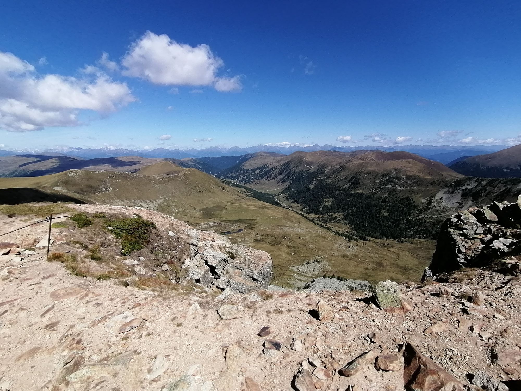

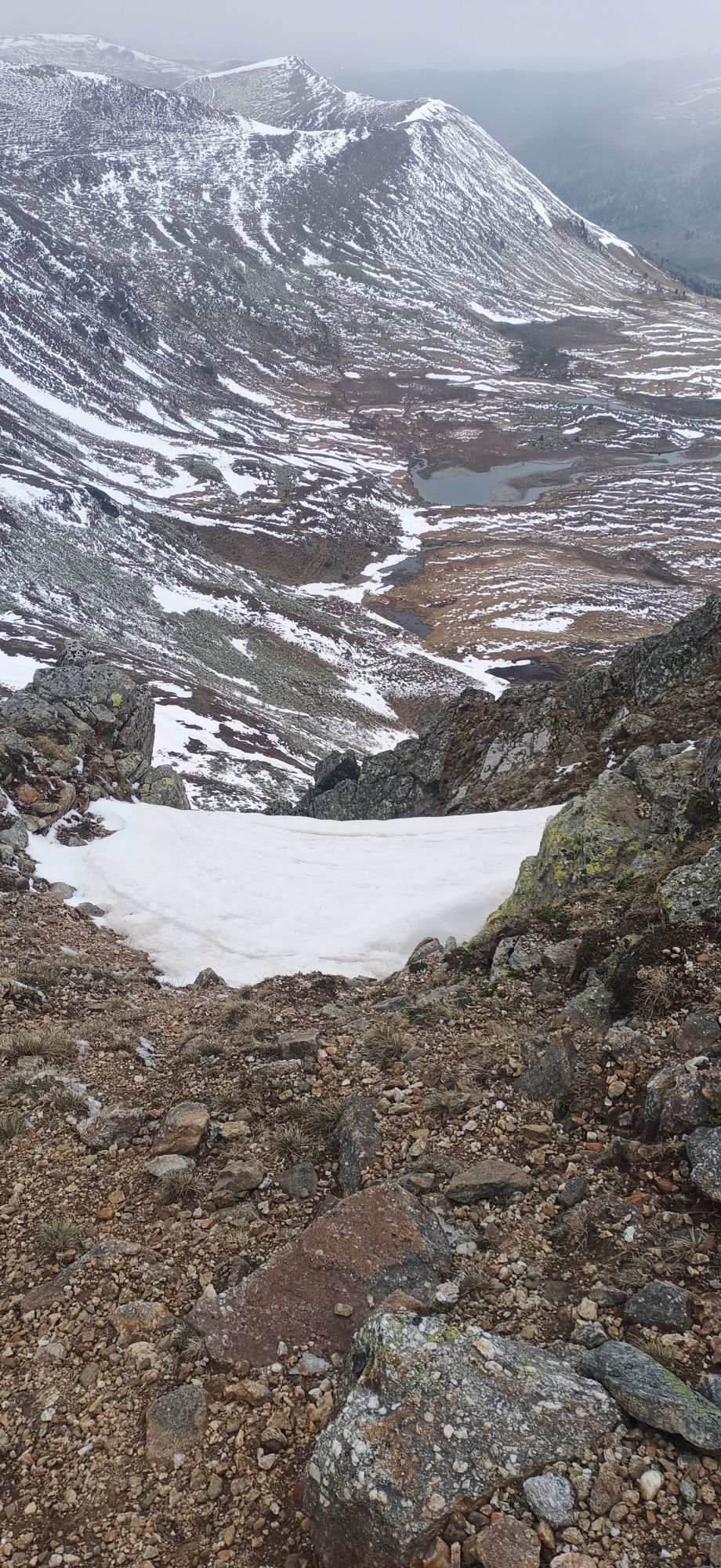
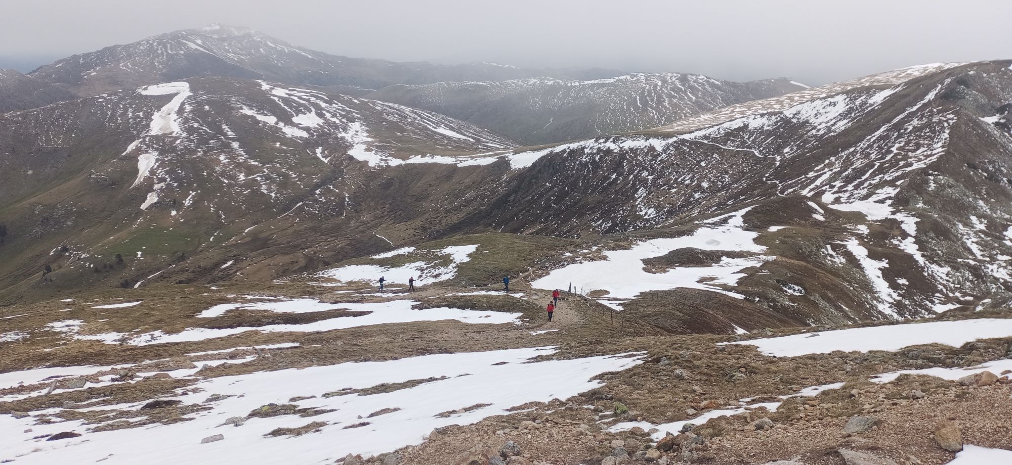


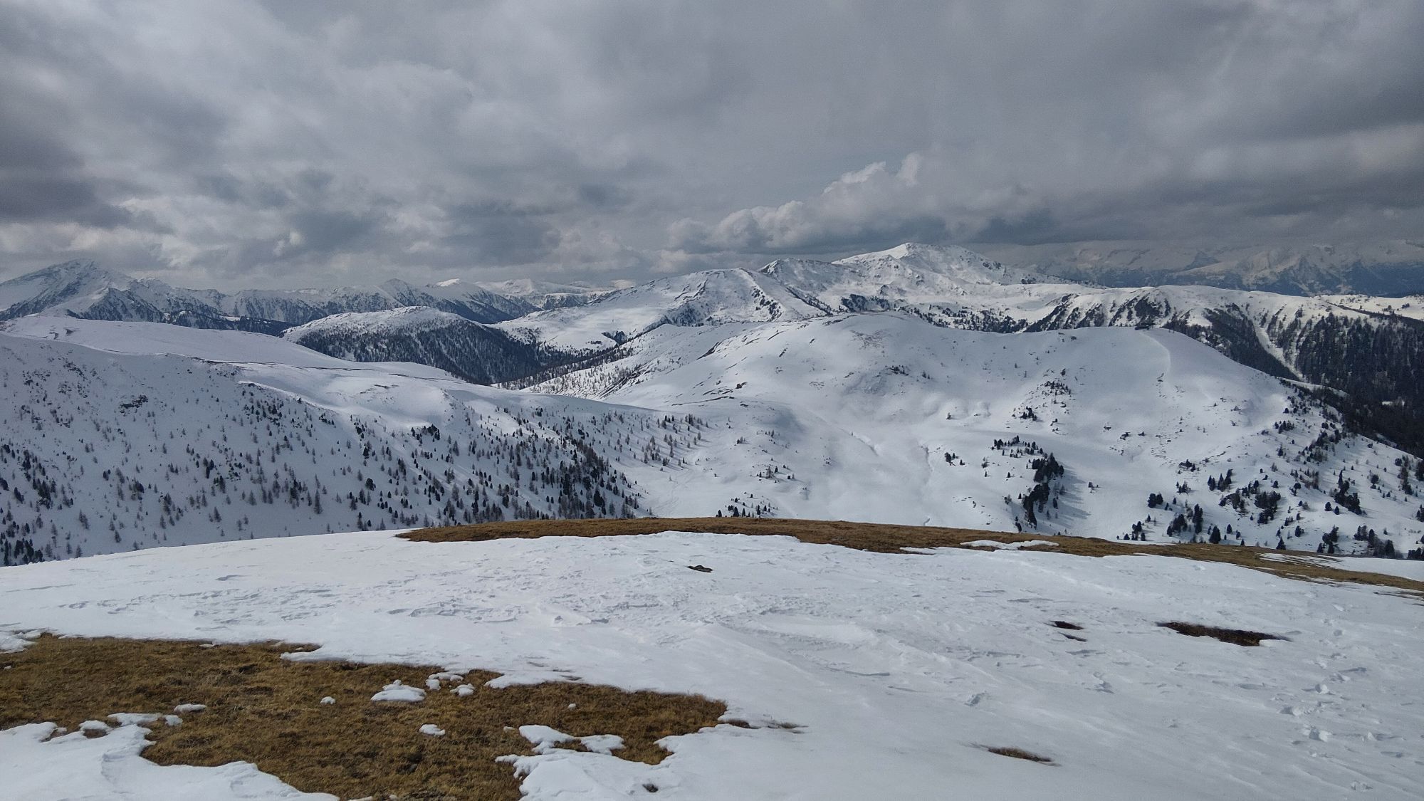


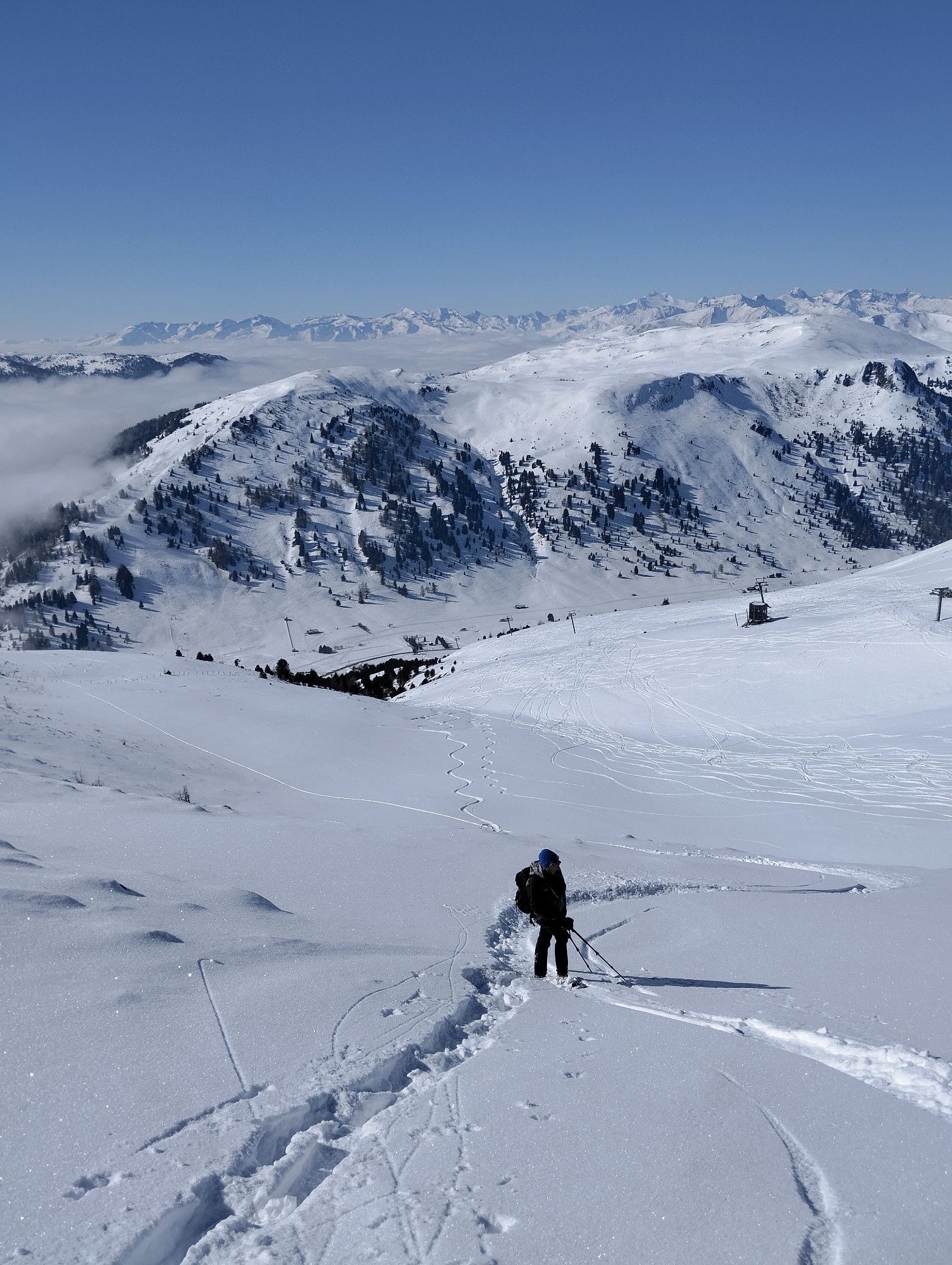
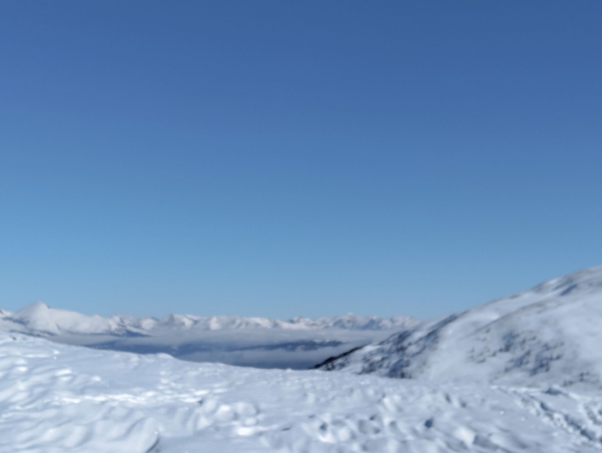
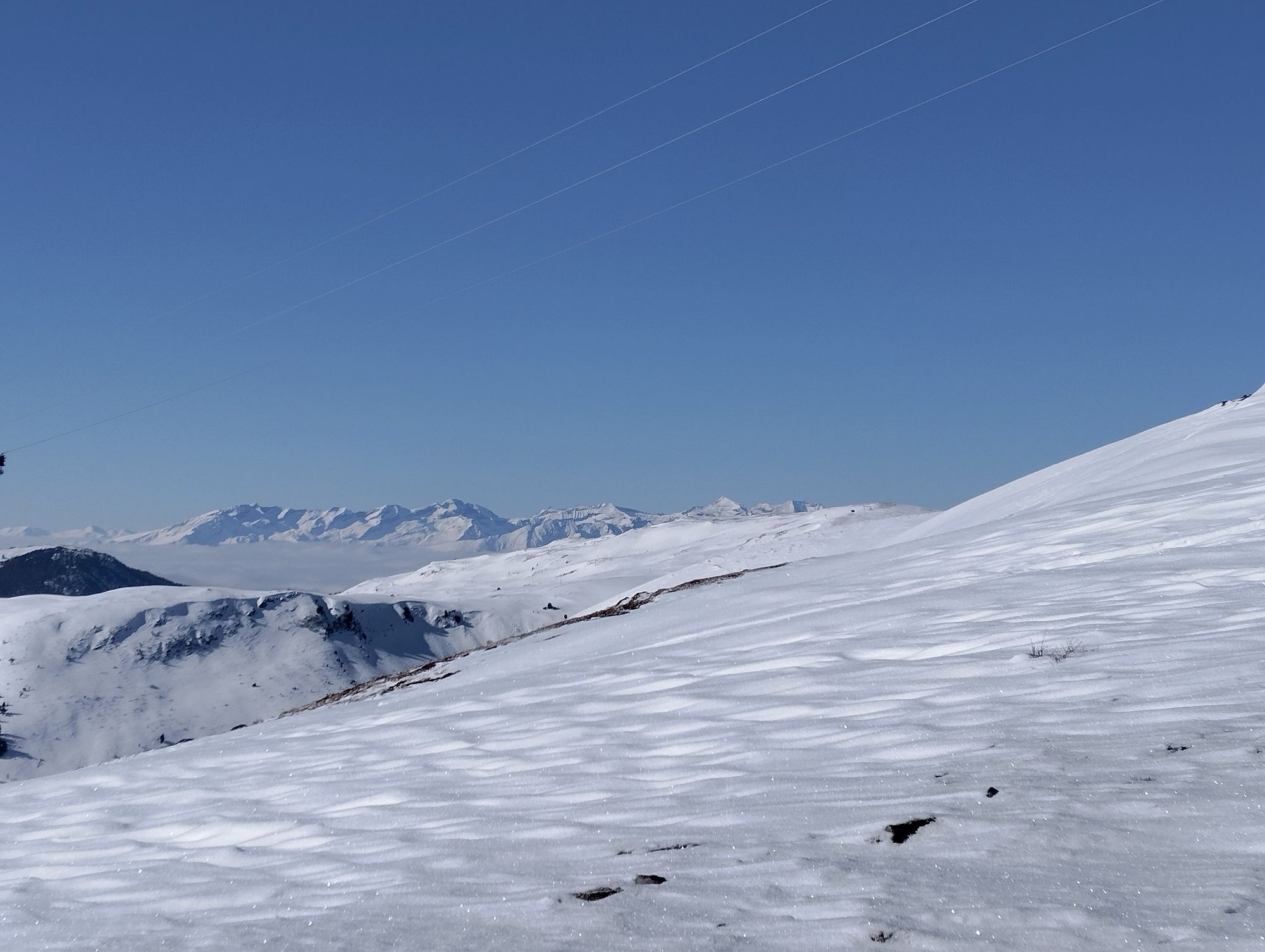

Boundless view: From Innerkrems through the Donnerschlucht to the Königstuhl and on a scenic high-altitude hike to the Turracher Höhe
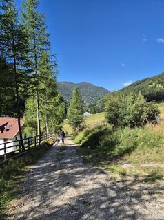
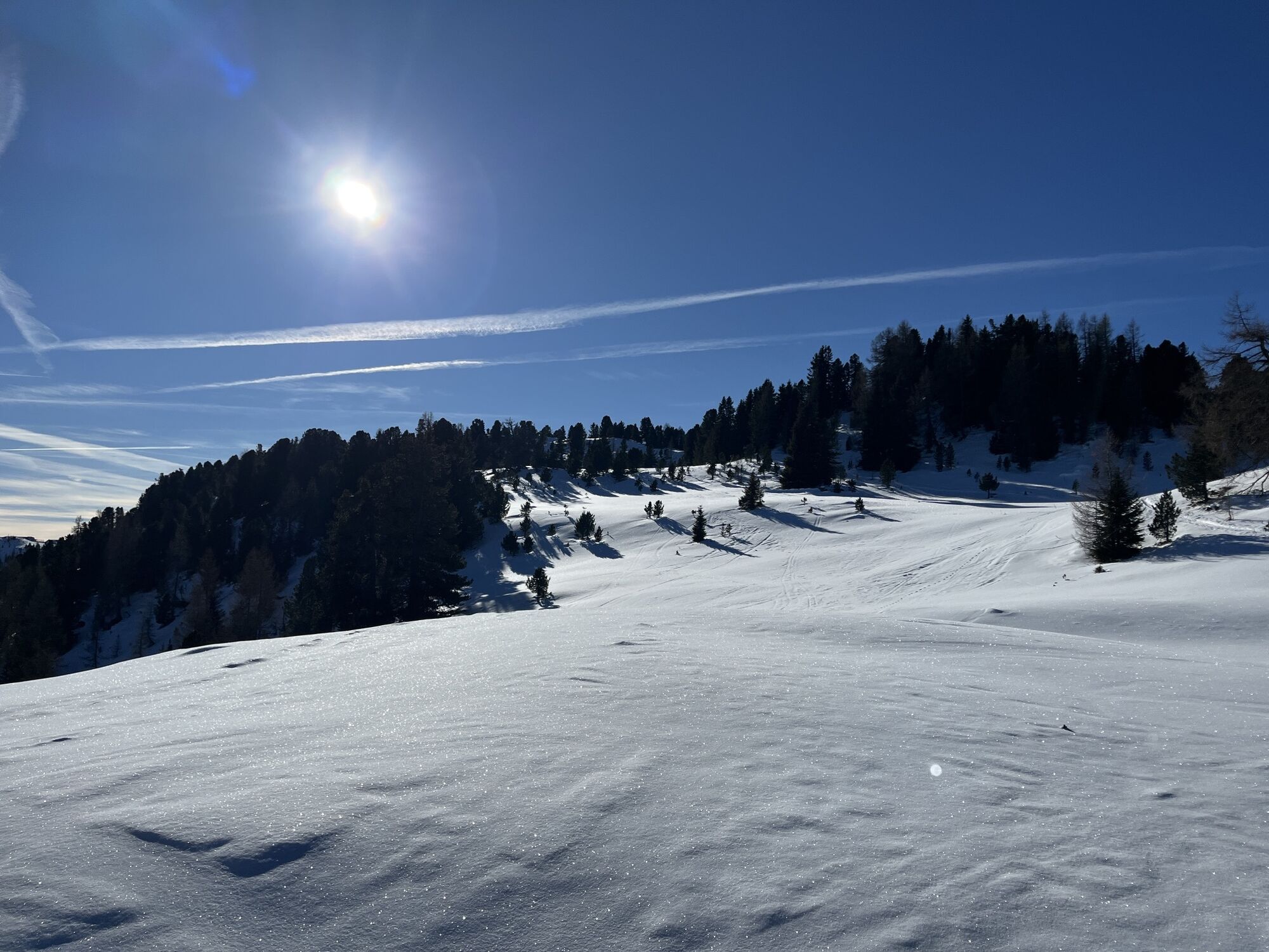
At the start you go east along the Almresort Frühauf and Berghof hotels...
Boundless view: From Innerkrems through the Donnerschlucht to the Königstuhl and on a scenic high-altitude hike to the Turracher Höhe
At the start you go east along the Almresort Frühauf and Berghof hotels until a small road with trail marker No. 4 branches off to the left. Here the detour begins: you don't follow this small road as on the original route but remain a short distance longer on the road towards Schönfeld. After about 200 m a small road branches off to the right, which you follow through a right turn (ignore the hiking trail branching off at the right turn). Shortly after the right turn, a hiking trail branches off uphill to the left, which takes you past the Saureggalm up to the Grünleitenscharte.
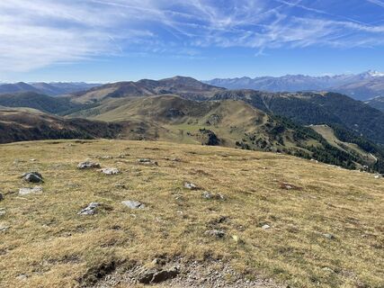
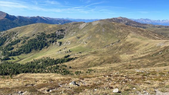
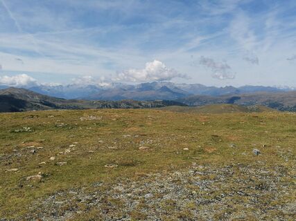
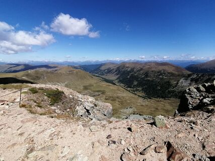
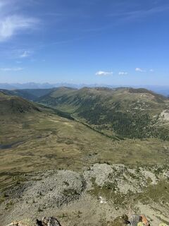
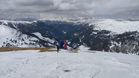
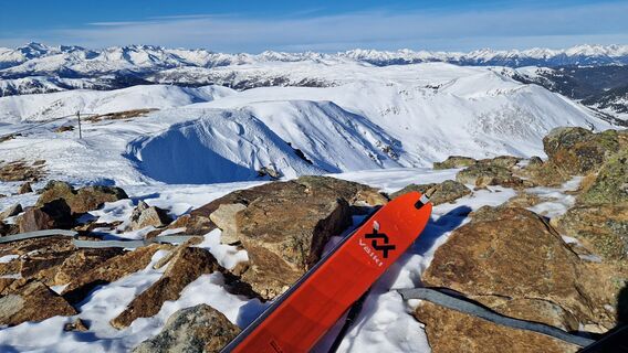
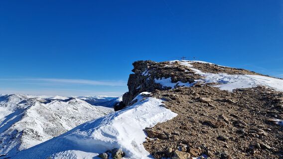
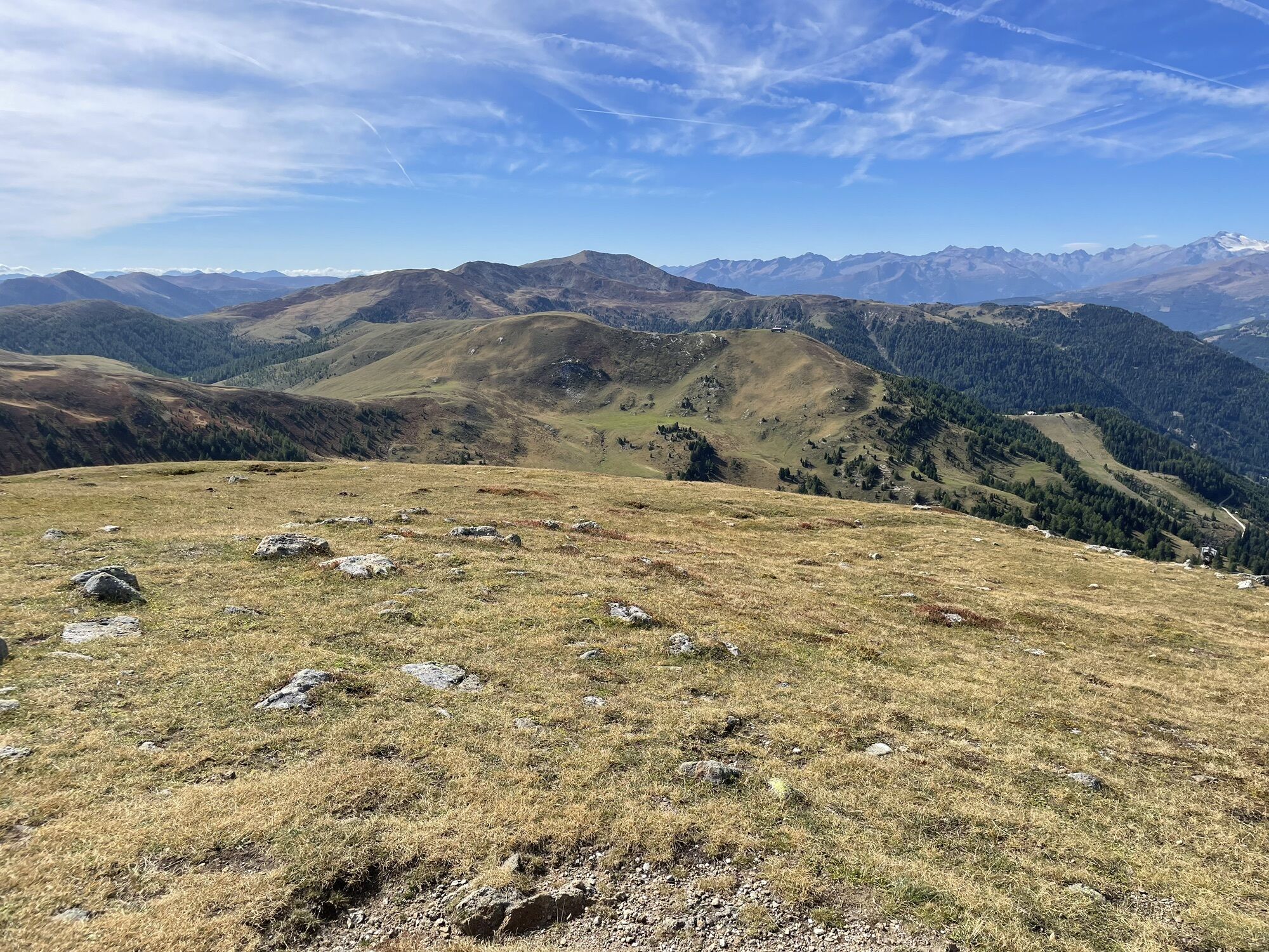
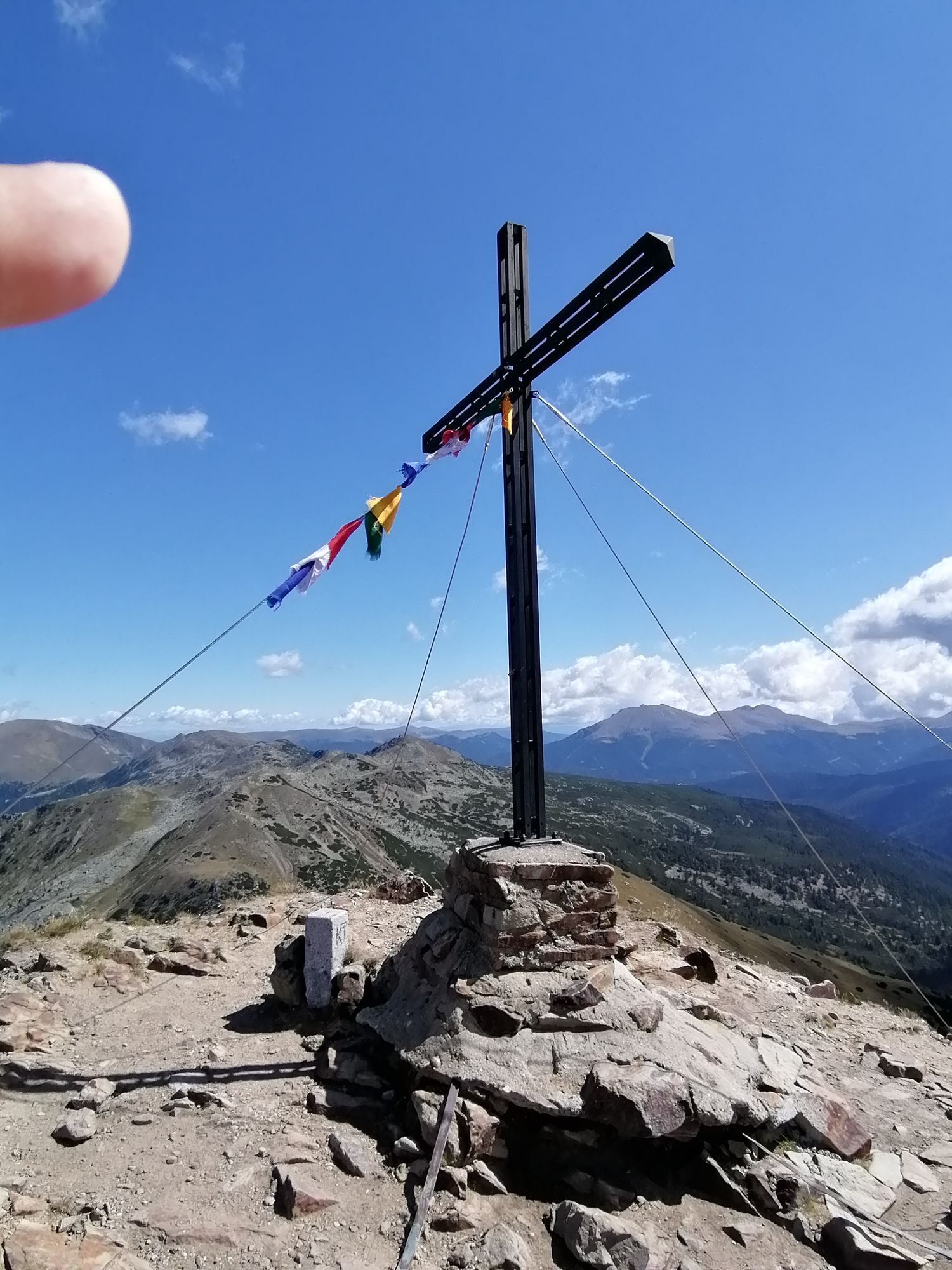
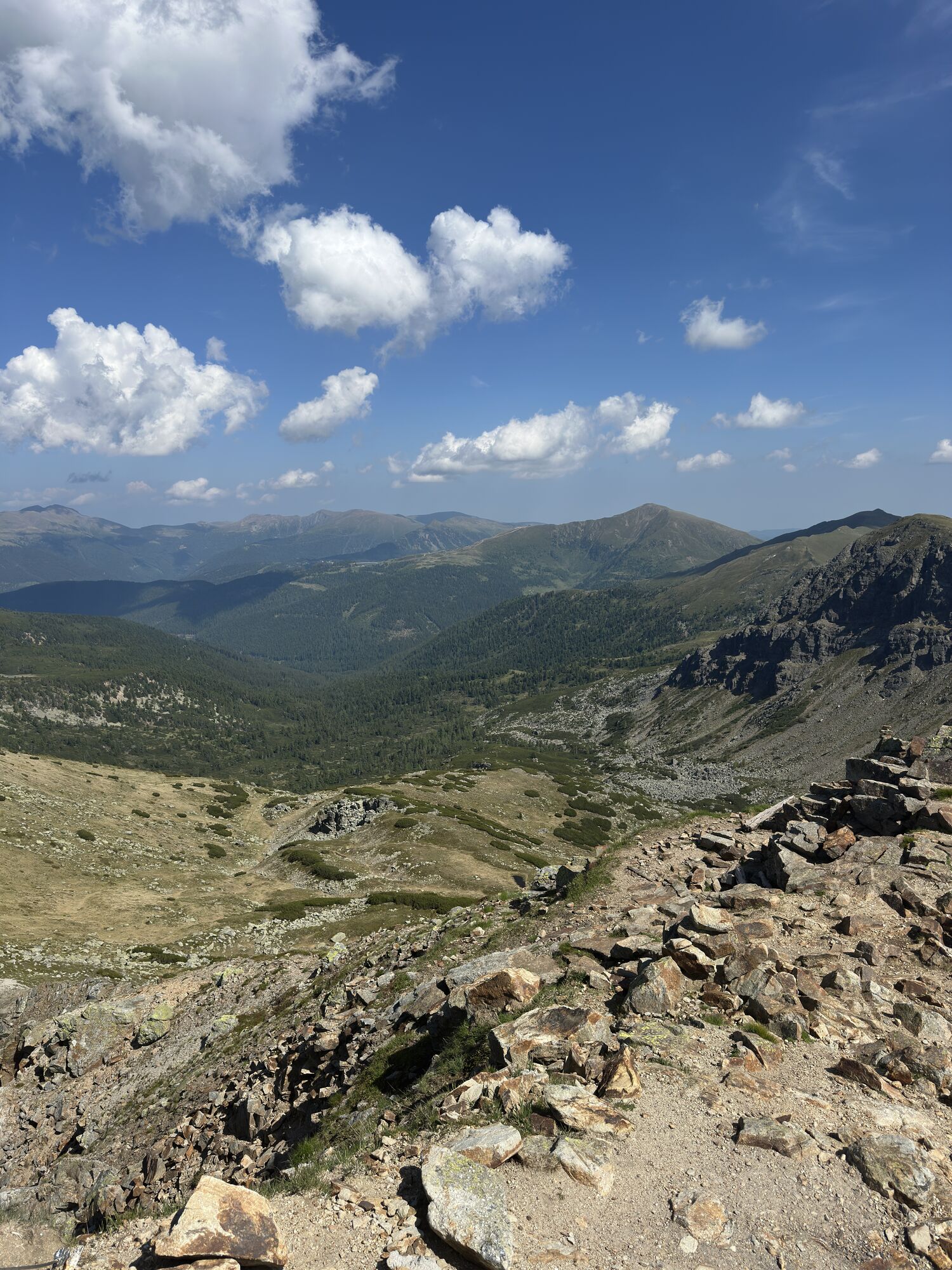
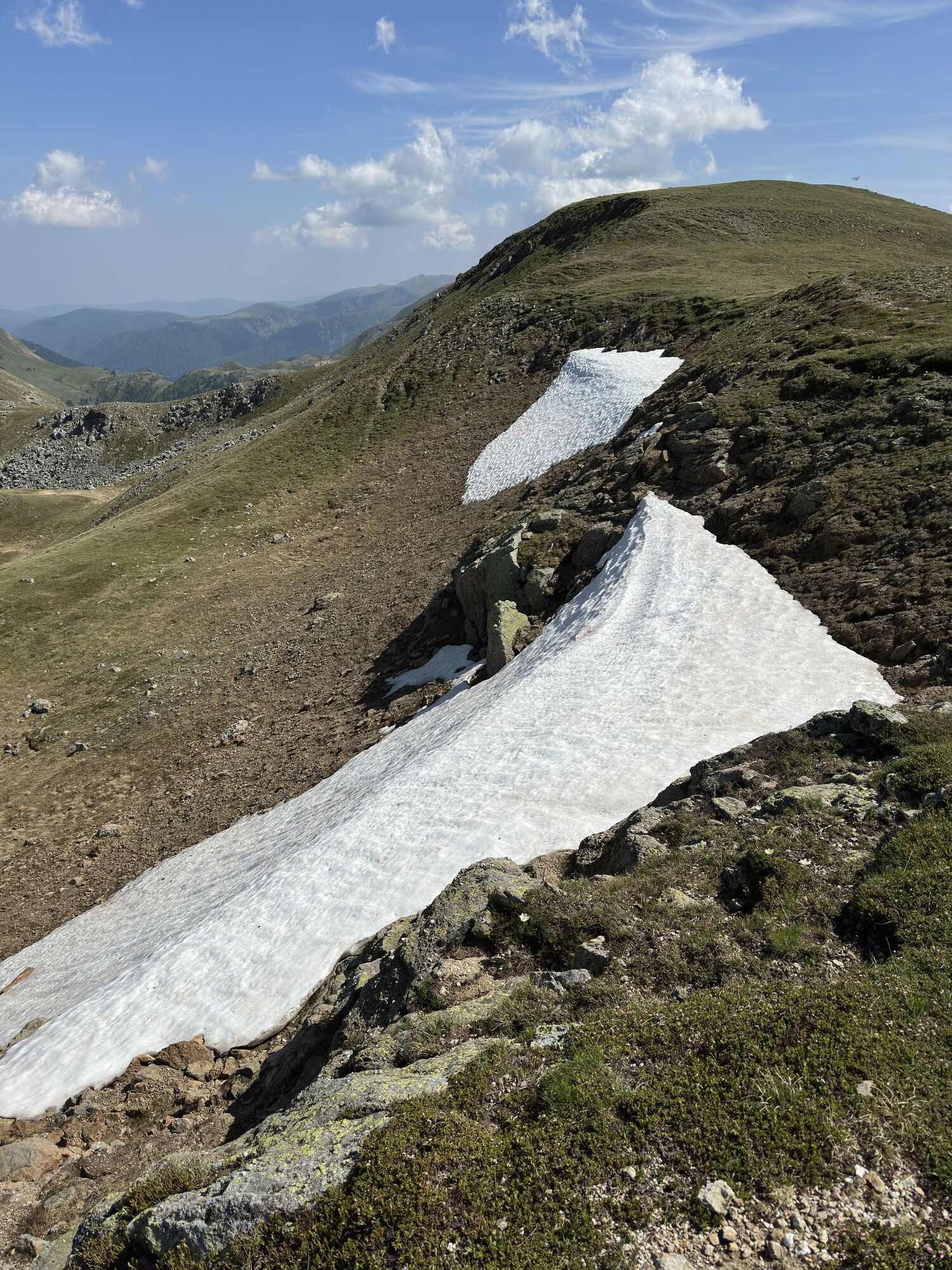
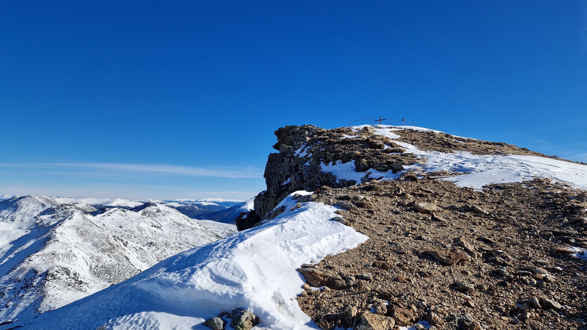
Here the trails fork: you hike the left (eastwards) trail along the ridge towards Seenock. Soon the trail leaves the ridge and crosses the slopes below the Seenock to another fork near Friesenhalssee. Then continue straight, crossing the slopes at a constant height up to the notch between Friesenhalshöhe and Königstuhl, where you meet the original route again (about 2 h 20 min up to here). Trail No. 125 now takes you over the west ridge up to the summit of the Großer Königstuhl (2,336 m), one of the best-known mountains of the Nockberge.
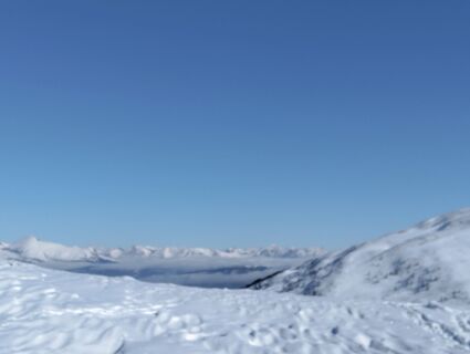
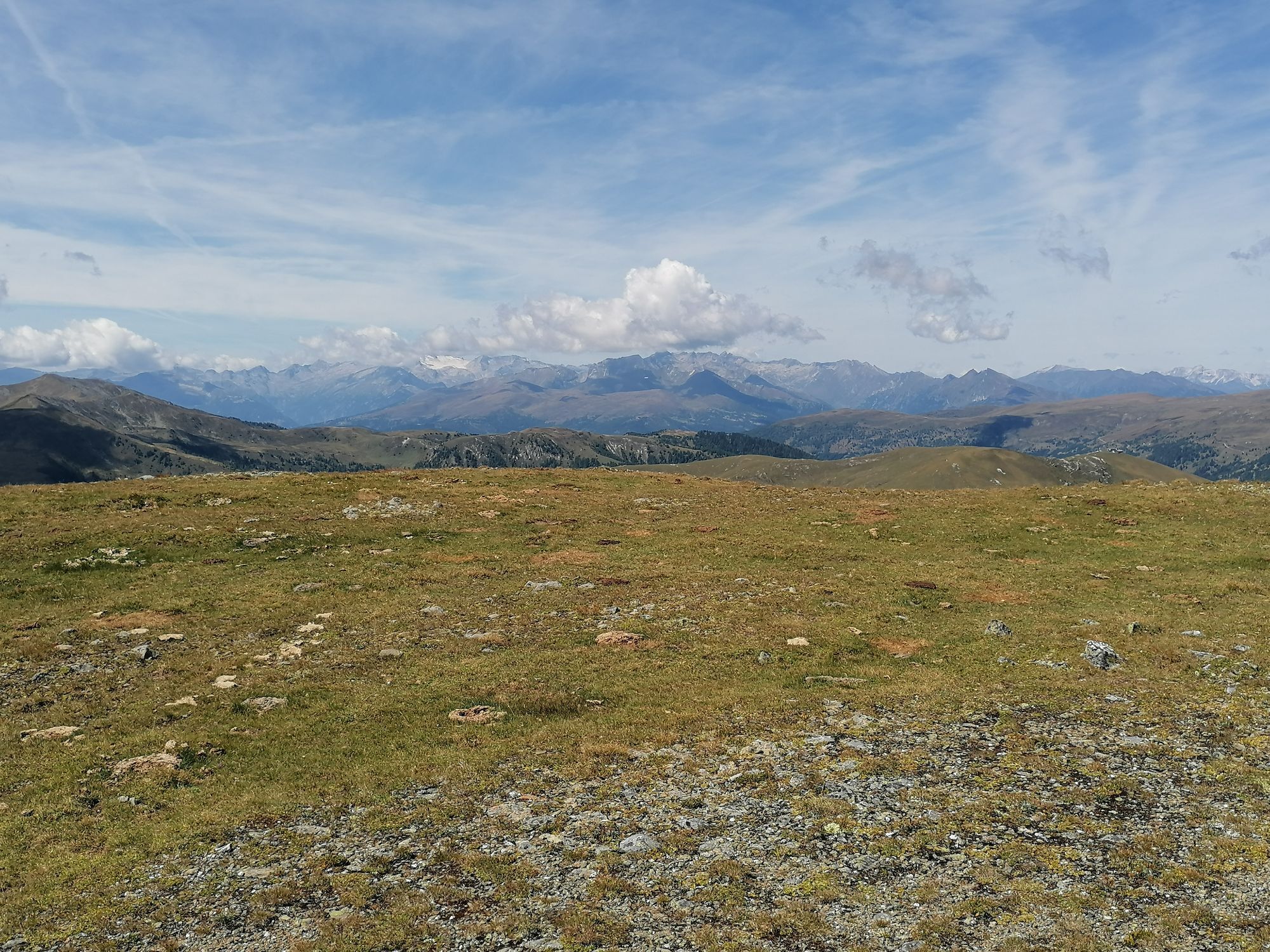
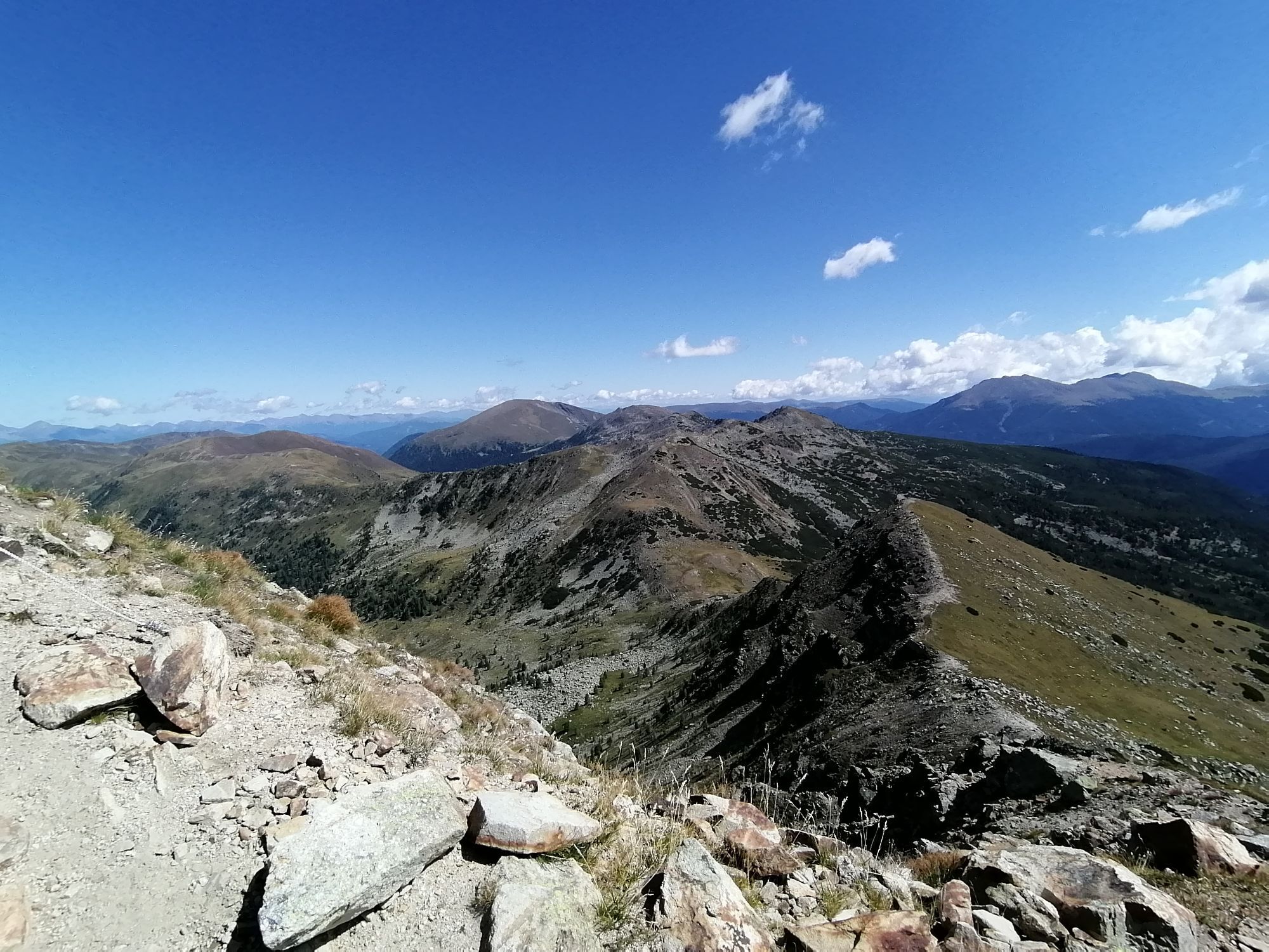
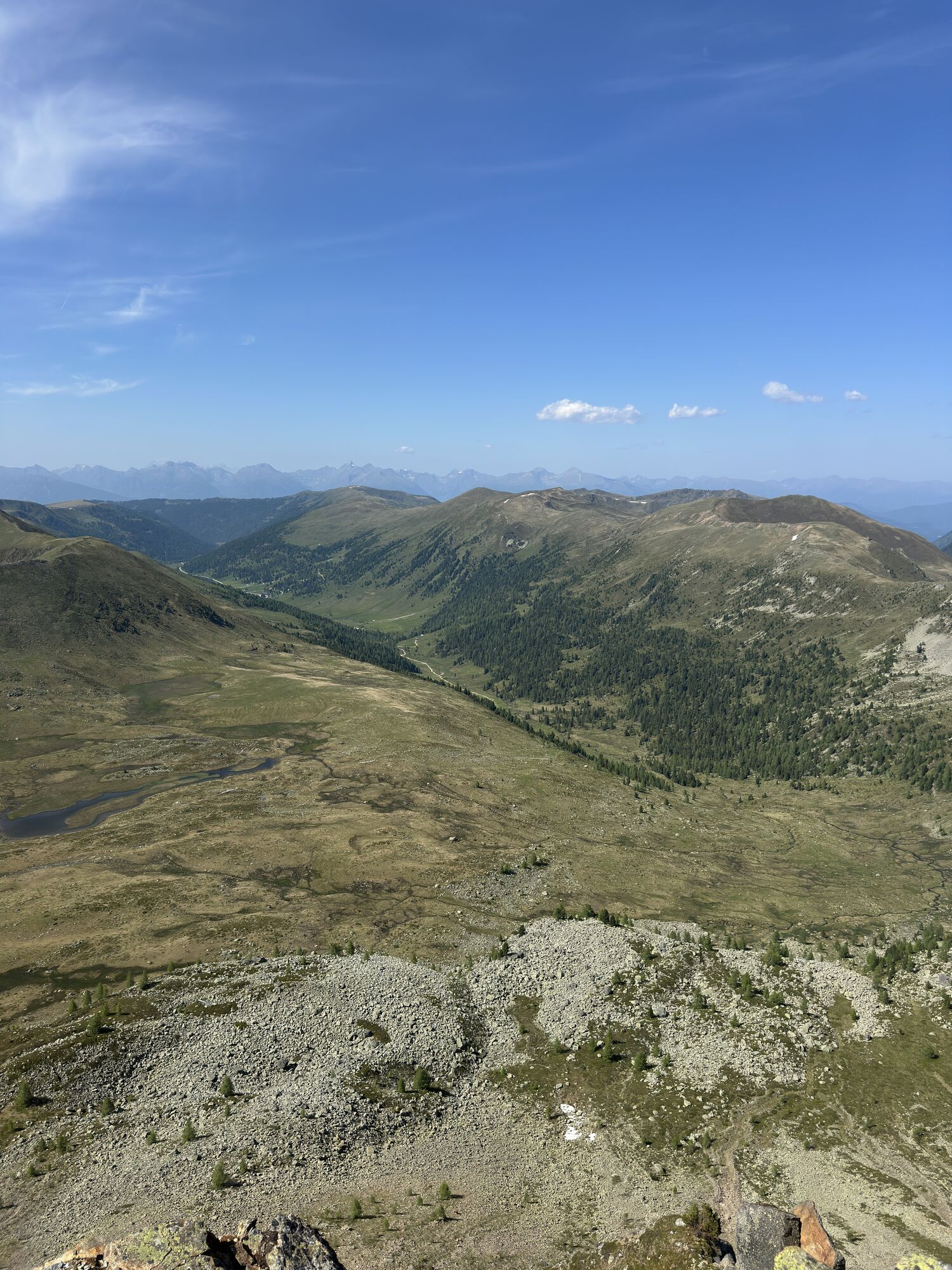
The next trail section particularly highlights the expanse of the Nockberge: from the Königstuhl you take trail No. 125 along the mountain ridge to the somewhat lower Karlnock. On the other side, you descend a few meters and now leave the ridge: you cross west below the Stangnock over the Stangboden to the Stangscharte. Then continue on trail No. 123 (later No. 126) below the Gregerlnock over the Schneegrubensattel to the Pregatscharte. Now cross over trail No. 126 north of the Simmerleck to a trail junction at 1,969 m above sea level.
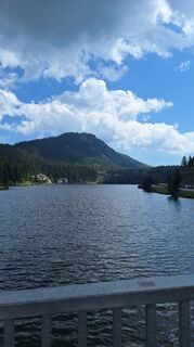
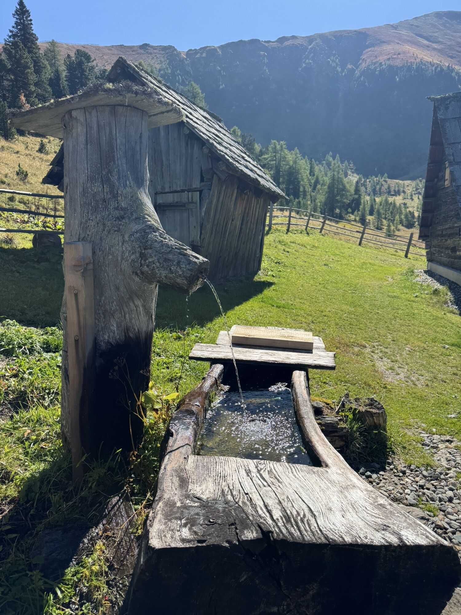
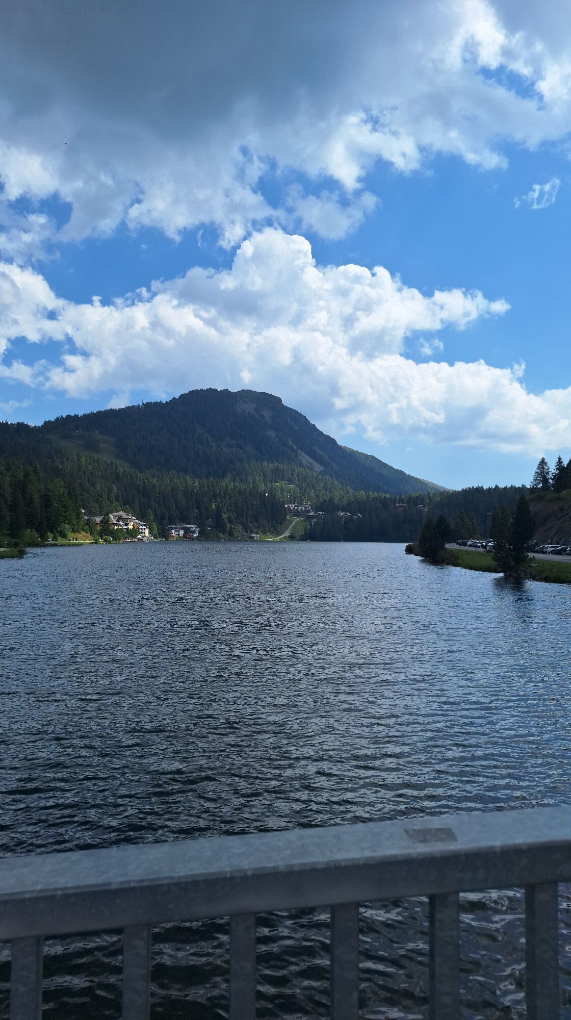
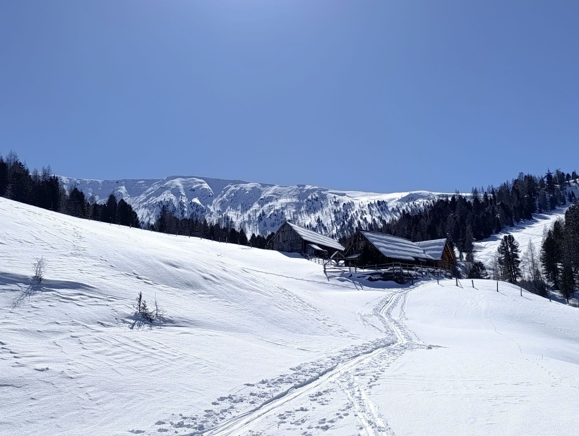
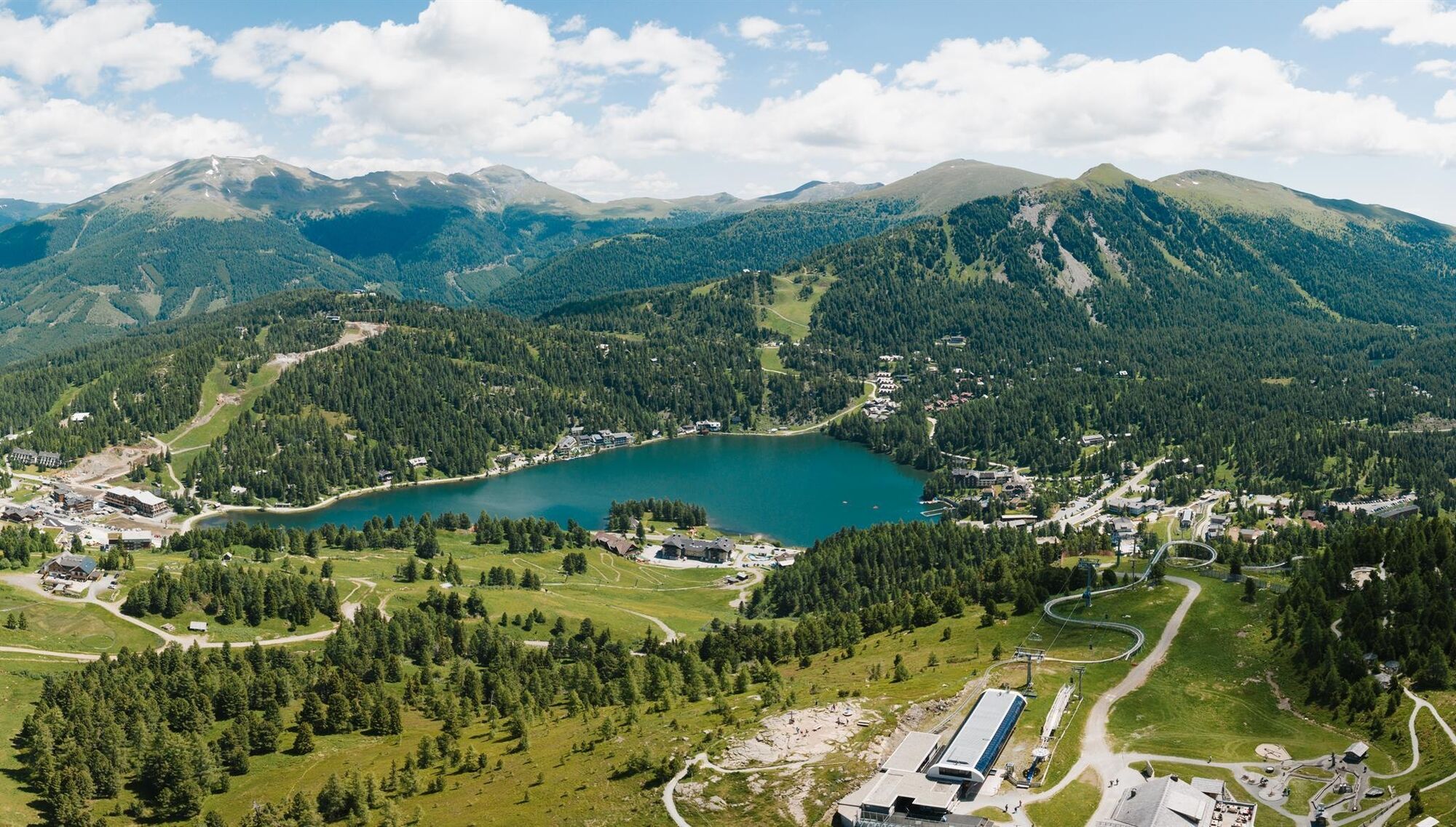
Here you choose trail No. 126 downhill to the Winkleralm, which first goes horizontally over the Schafalm and then after a short ascent over the Steinturrach downhill to the Turracherhöhe and the beautiful Turrachersee.
Hiking time: 7 hrs 15 min, length: 19.5 km; ascent: 1,056 m; descent: 822 m
Variant Stage 03 “Shortcut to Prießhütte“:
Up to just behind the Schneegrubensattel, you hike the same way as on the original route. 5 minutes behind Schneegrubensattel, at a trail junction, you leave stage 3 of the Nockberge Trail and follow instead part of stage 4 of the Nockberge Trail: at the signpost you stay right towards “Prießhütte“ and follow the marked trail (No. 123) in a curve below the Koflernock until you reach the Prießhütte. Just behind the hut, you reach the Nockalm road where your shuttle to the Turracher Höhe and your hotel will pick you up.
Hiking time: 5 hrs 15 min; length: 15.2 km; ascent: 786 m; descent: 635 m
Tip:
I hike carefree on the Nockberge Trail!
The official Nockberge Trail info and booking center with the award-winning team of Trail Angels is happy to support me. Whether advanced or beginner: with the competent and helpful booking center team I am in good hands. Especially if I want to combine personal freedom and desire for the special with service, comfort, and safety on my hike.
Information and booking:
Official Nockberge Trail info and booking center
powered by Trail Angels
Obervellach 15, 9821 Obervellach
+43 4782 93093
info@nockberge-trail.com
www.nockberge-trail.com

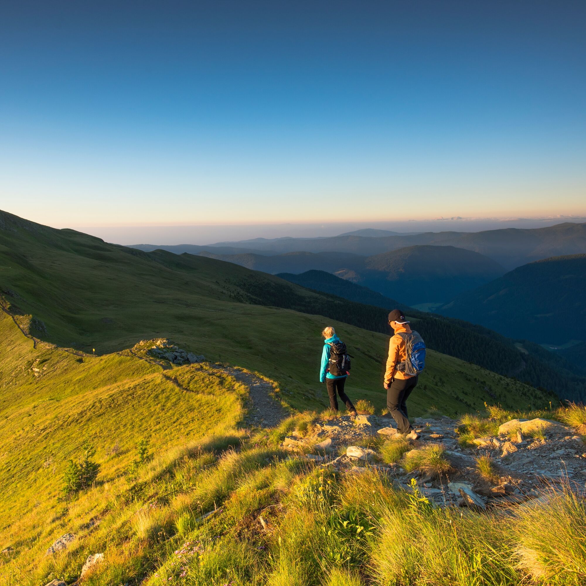
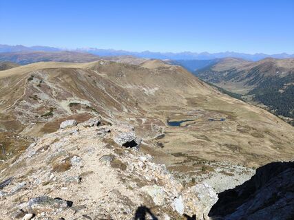
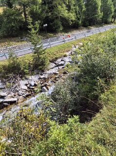
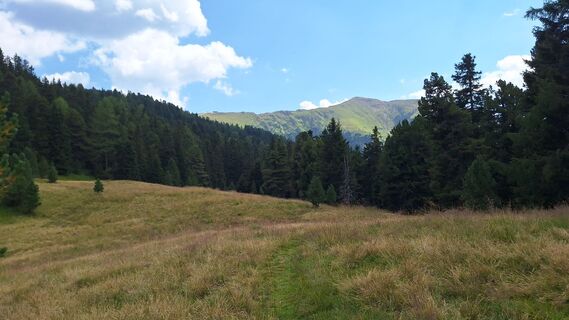
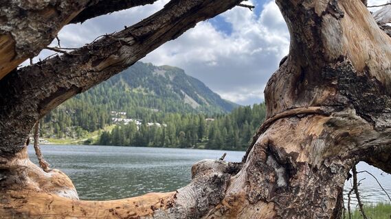
This stage begins immediately with a highlight: I hike along trail No. 4 eastwards along the beautiful Donnerschlucht up to the beginning of Schönfeld just before the Dr.-Josef-Mehrl-Hütte. To reach the start of the trail, I walk east past the Frühauf and Berghof hotels until a small road with trail marker No. 4 branches off to the left. Here I do not turn north into Schönfeld but choose the gravel road (trail No. 126) following the Kremsbach south; this then becomes a path and leads flat uphill through the very scenic valley floor of the Rosaninalm. Remarkable is the strongly meandering Kremsbach, whose highly winding stream bed results from the very slight gradient. A little later the trail moves away from the creek and the terrain gets steeper. Passing an ecologically valuable swamp area, I reach the silting-up Rosanin Lake at 2,057 m above sea level, which is circumnavigated to the southeast. From the lake, it goes in switchbacks up to the ridge of the northwestern spur of the Großer Königstuhl, where I meet trail No. 125. I follow this to the left up to the summit of the Großer Königstuhl (2,336 m), one of the best-known mountains of the Nockberge.
The next section of the trail particularly showcases the expanse of the Nockberge: from the Königstuhl I take trail No. 125 along the mountain ridge to the somewhat lower Karlnock. On the other side, I descend a few meters and now leave the ridge: I cross west below the Stangnock over the Stangboden to the Stangscharte. Then it continues over trail No. 123 (later No. 126) below the Gregerlnock over the Schneegrubensattel to the Pregatscharte. Now I cross over trail No. 126 north of the Simmerleck to a trail junction at 1,969 m above sea level. Here I choose trail No. 126 downhill to the Winkleralm, which first goes horizontally over the Schafalm and then after a short ascent over the Steinturrach downhill to the Turracherhöhe and the beautiful Turrachersee.
Ano
How demanding is the hike on the Nockberge Trail?
Easy to moderate. Technically, the Nockberge Trail is not very difficult. There are no secured or exposed sections that require complete freedom from dizziness. Even though you often move at altitudes up to 2,350 m and include many summits, there are no technical difficulties. A certain sure-footedness – the ability to move confidently and briskly in the terrain – is required.
Important prerequisites for a successful mountain tour, besides careful study of guides and maps, include optimal equipment. Basic equipment includes:
solid, well-fitting mountain or hiking boots with grippy soles water- and wind-resistant mountain clothing in layers, hiking poles sunglasses, sun protection mobile phone and hiking map a first aid kit as well as enough to drink and a snackProper behavior in the mountains
Careful tour planning based on descriptions and hiking maps is essential for a successful mountain tour. Equally important is the correct evaluation of the mountain experience, fitness, sure-footedness, freedom from dizziness, and resilience of all participants. Never leave the marked hiking trails and avoid shortcuts. Inform yourself about the weather conditions before the hike and return to the valley in case of worsening weather. The mountains are there for everyone. Helping to preserve and keep them clean is the responsibility of every hiker. Take your rubbish back into the valley and protect the animal and plant life. Always keep dogs under control and on a short leash. If an attack by a grazing animal is foreseeable, immediately unchain the dog. Austrian farmers play an important role in preserving our alpine landscape. Visitors are asked to respectfully adapt to this beautiful landscape. Treat the people working here, nature, and animals with respect.Here are the most important emergency numbers in case of an accident in Austria:
140 Alpine emergency
144 Rescue emergency
112 European emergency number (possible from all networks. Turn off mobile phone and after turning it on dial “112” instead of the PIN)
From the north:
Motorway Munich-Salzburg, A10/Tauern Motorway (Tauern Tunnel) to the Rennweg exit. On the B99 to Kremsbrücke, turn left to Innerkrems
From the east:
Vienna, A2/South Motorway - Graz - Klagenfurt - Villach - Spittal/Drau - exit Gmünd - Kremsbrücke - Innerkrems or Vienna, A1/West Motorway to Salzburg and then as from the north
From the south:
Udine - Autostrada - Tarvisio - Villach - Spittal/Drau - exit Gmünd - Kremsbrücke - Innerkrems
Nockmobil
As a feeder to public transport, the Nockmobil offers a green alternative to the car as an on-demand call taxi and allows us to flexibly get from stop to stop. We use the Nockmobil to get to the starting point of our hike (from stop number xx) and back again.
For booking a ride with the Nockmobil, we recommend calling about one hour in advance (in summer months the day before). Our ride can also be booked via the app.
Depending on the season and day of the week, different public transport options are available. For current information, please visit the following websites:
Comfortably and directly from the train station to your accommodation with the Carinthia train station shuttle:
Paid public parking garages and open parking spaces are available.
T2
Further information about the Nockberge Trail can be found at the official trail booking center
Dining options along the route
www.innerkrems.at
Further information about the hiking area of the region is available at:
Region Millstätter See - Bad Kleinkirchheim - Nockberge
+43 (0) 4246-37444
info@mbn-tourismus.at
www.seeundberg.at/wandern
The UNESCO Biosphere Park Carinthian Nockberge
Careful tour planning based on descriptions and hiking maps is essential for a successful mountain tour.
Equally important is the correct evaluation of the mountain experience, fitness, sure-footedness, freedom from dizziness, and resilience of all participants.
Never leave the marked hiking trails and avoid shortcuts.
Inform yourself about the weather conditions before the hike and return to the valley in case of worsening weather.
The mountains are there for everyone. Helping to preserve and keep them clean is the responsibility of every hiker. Take your rubbish back into the valley and protect the animal and plant life.
Always keep dogs under control and on a short leash. If an attack by a grazing animal is foreseeable, immediately unchain the dog.
Austrian farmers play an important role in preserving our alpine landscape. Visitors are asked to respectfully adapt to this beautiful landscape.
Further information about the UNESCO Biosphere Park Carinthian Nockberge is available
at: www.biosphaerenparknockberge.at
Donnerschlucht and Mehrl Hut
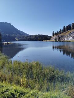
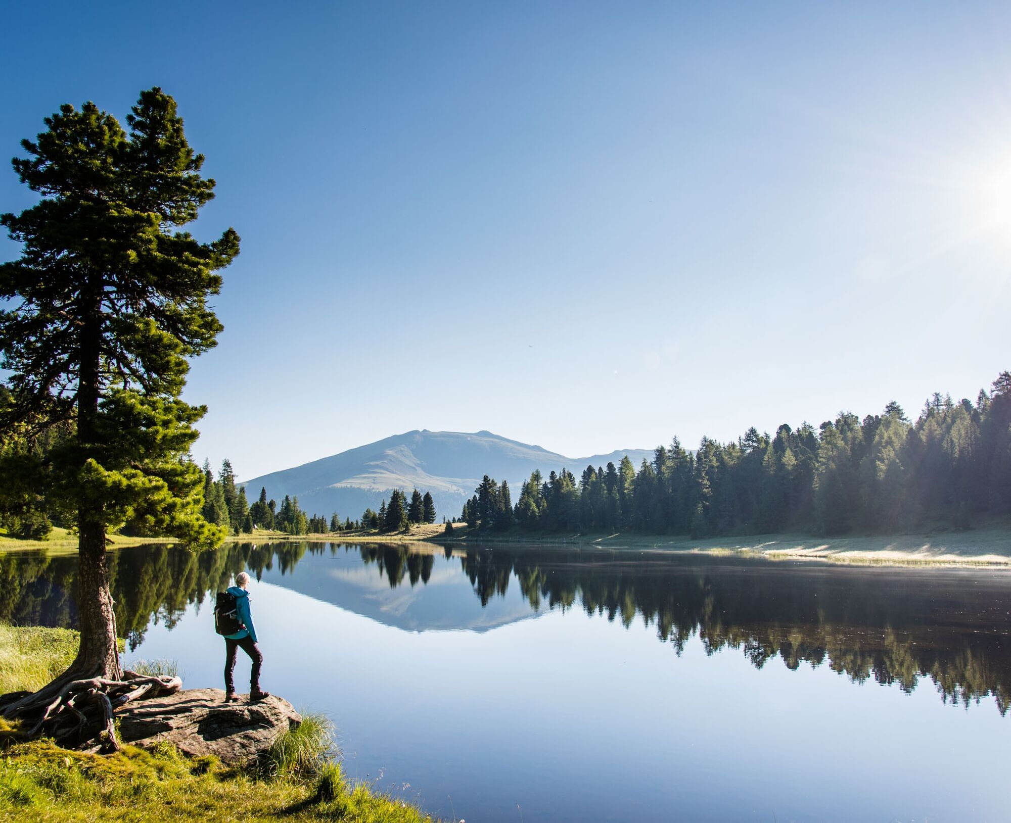
Rosanin Valley and Rosanin Lake in Schönfeld
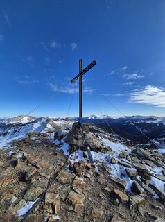
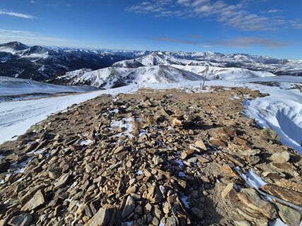
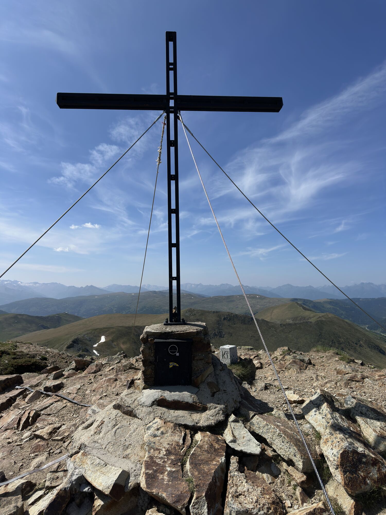
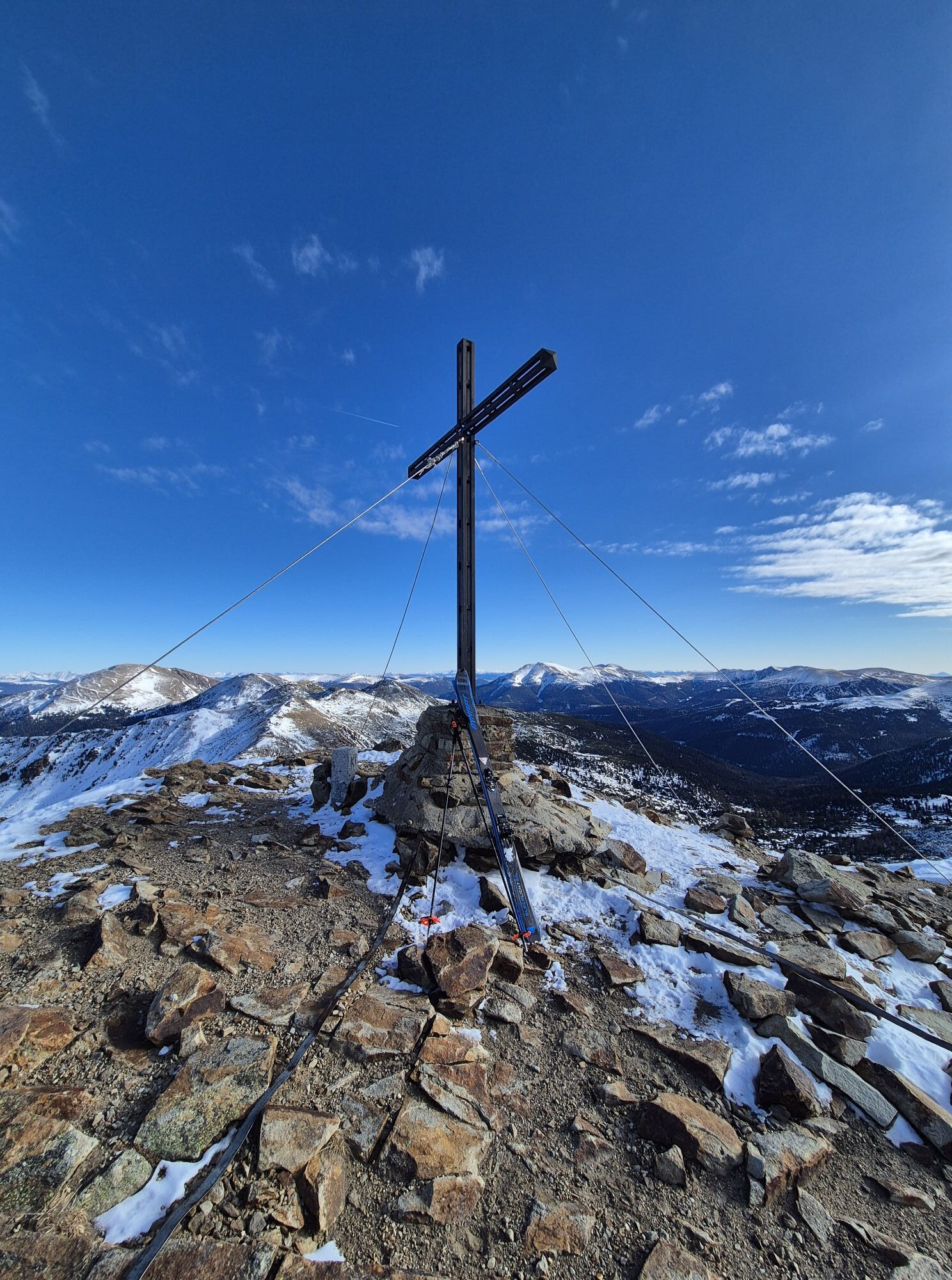
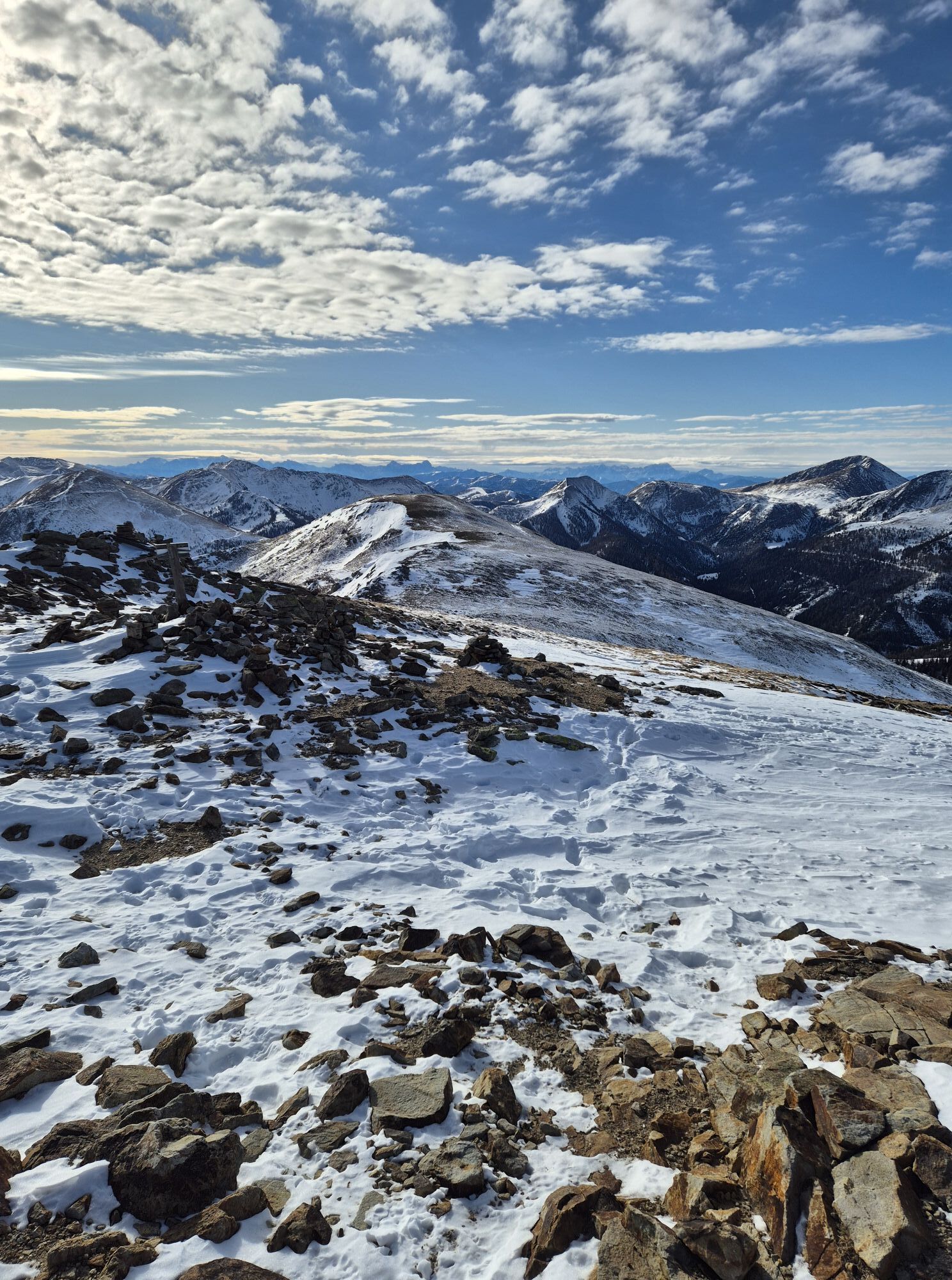
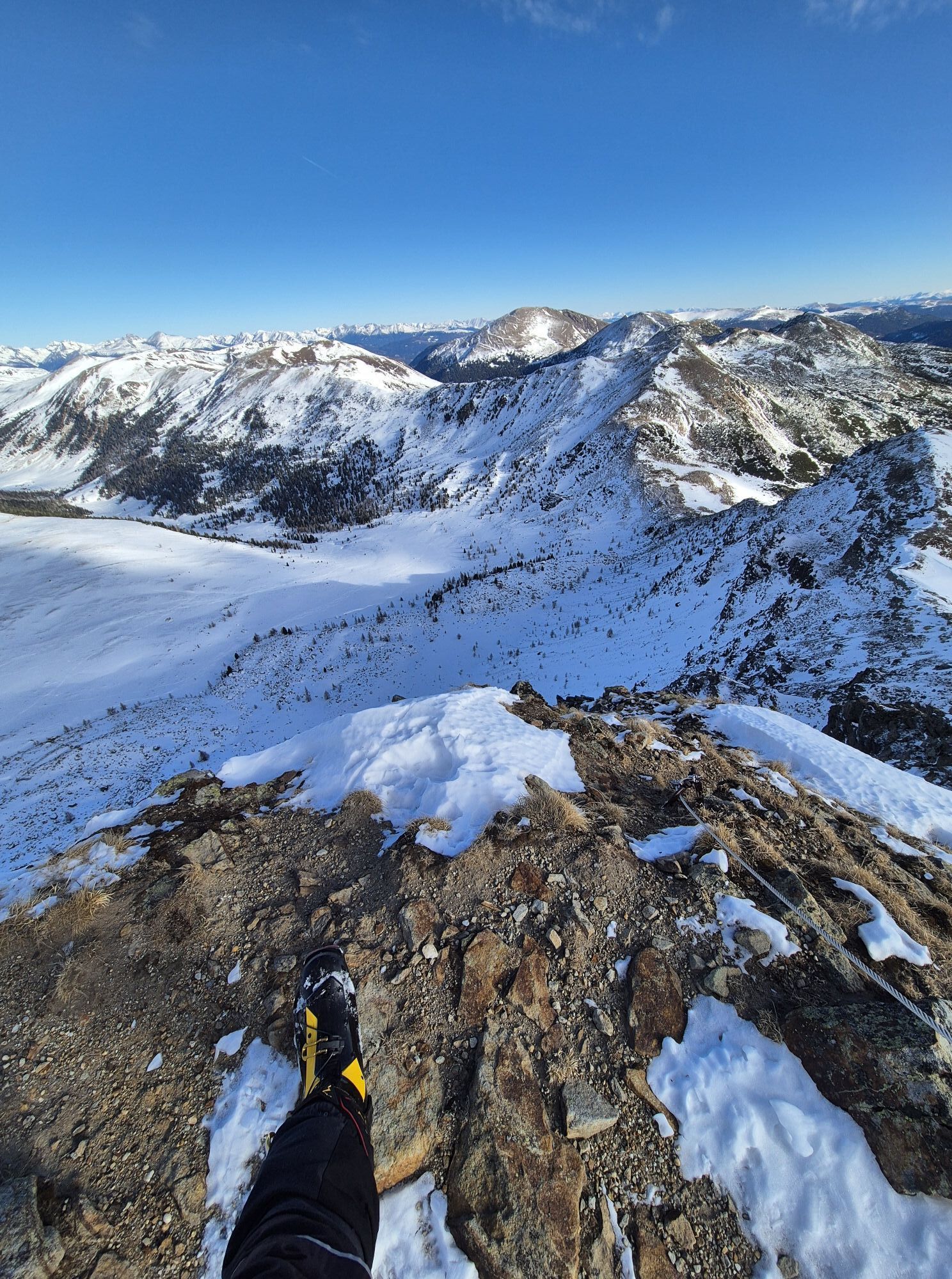
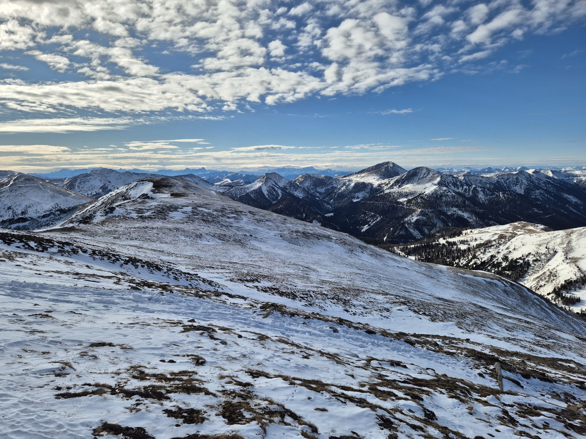
Three-country peak Königstuhl, the roof of the route
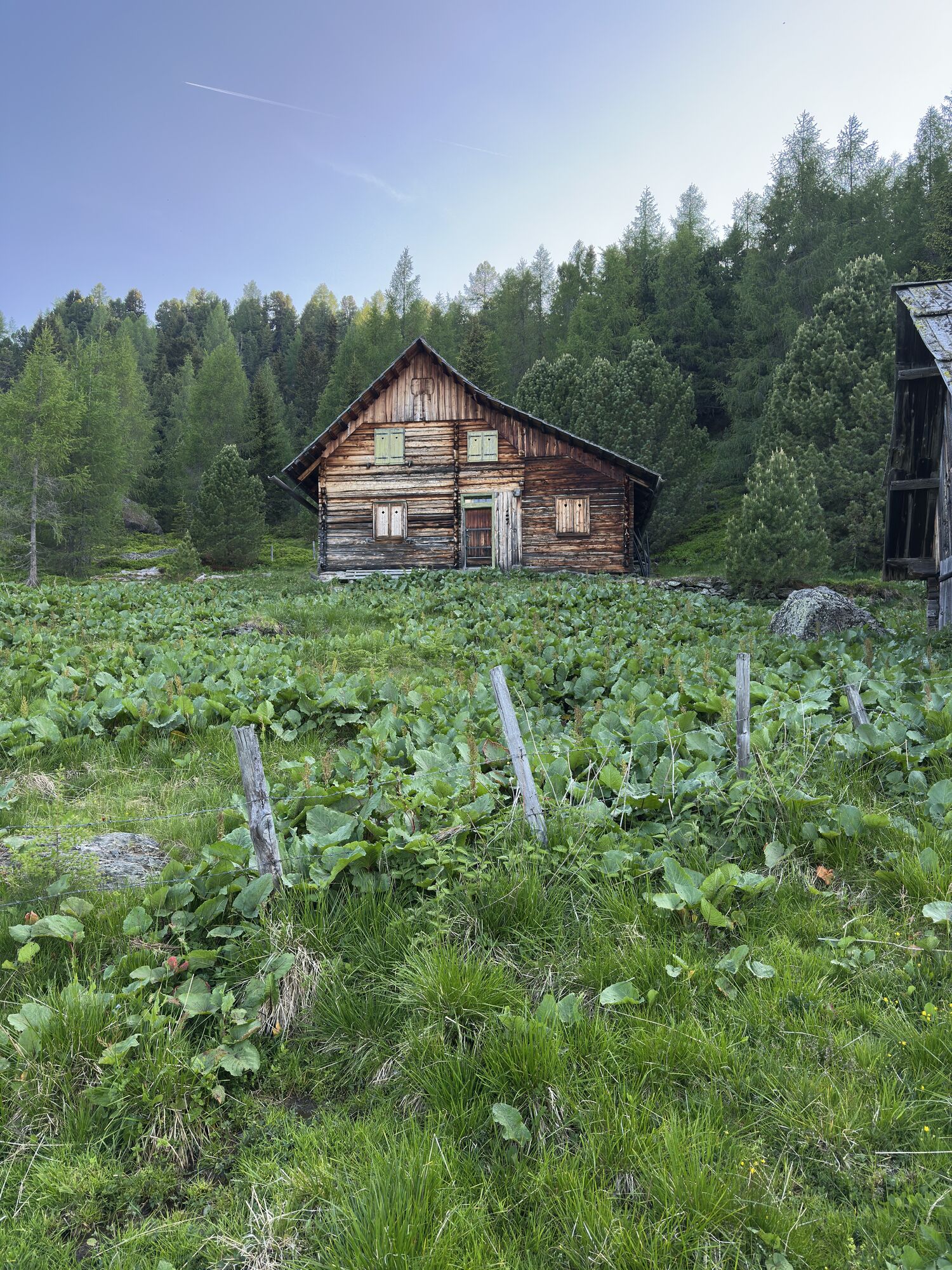
Idyllic Winkleralm
Webové kamery z prohlídky
-
Kornockbahn Bergstation
-
Sport Schiffer - Innerkrems
-
Turracherhöhe/Hirschkogel
-
Turracherhöhe Weitentallift
-
Turracherhöhe - Panoramabahn
-
Nockalmstraße - Eisentalhöhe
-
Bergbahnen Turracher Höhe
-
Bergbahnen Turracher Höhe
-
Bergbahnen Turracher Höhe
-
Bergbahnen Turracher Höhe
-
Bergbahnen Turracher Höhe
-
Zechneralm
-
Almzeithütte
-
Almzeithütte
-
Almzeithütte
-
Almzeithütte
-
Schönfeld
-
Innerkrems
-
B95 Turracher Höhe
Oblíbené prohlídky v okolí
-
4.6
Turracher 3 Seen Weg - Weg der Sinne zwischen Berg & See
světloTematická stezka 7.15 km -
4.7
Schoberriegel - Schönebennock -
světloTuristika 9.88 km -
4.9
Nockbergrundwanderweg
středníTuristika 6.62 km -
4.9
St. Oswald - Circular hike - Mallnock - Klomnock
středníTuristika 10.9 km -
4.8
Große Rosennock Runde
Turistika 9.80 km -
4.6
Falkertsee - Sonntagstal - Falkert
středníTuristika 4.84 km -
4.7
Falkert, Murmelsteig B/C mit Direktem Abstieg
středníVia ferrata 3.61 km -
4.8
Schönfeld: Großer Königstuhl
středníTuristika 11.2 km -
4.6
Hochrindl - Lattersteighöhe
středníTuristika 9.17 km -
4.5
Rundweg über den Falkert
středníTuristika 6.26 km
Pěší turistika a stopování


Nenechte si ujít nabídky a inspiraci pro vaši příští dovolenou
Vaše e-mailová adresa byl přidán do poštovního seznamu.