







Nockberge Trail: Hiking route stage 5


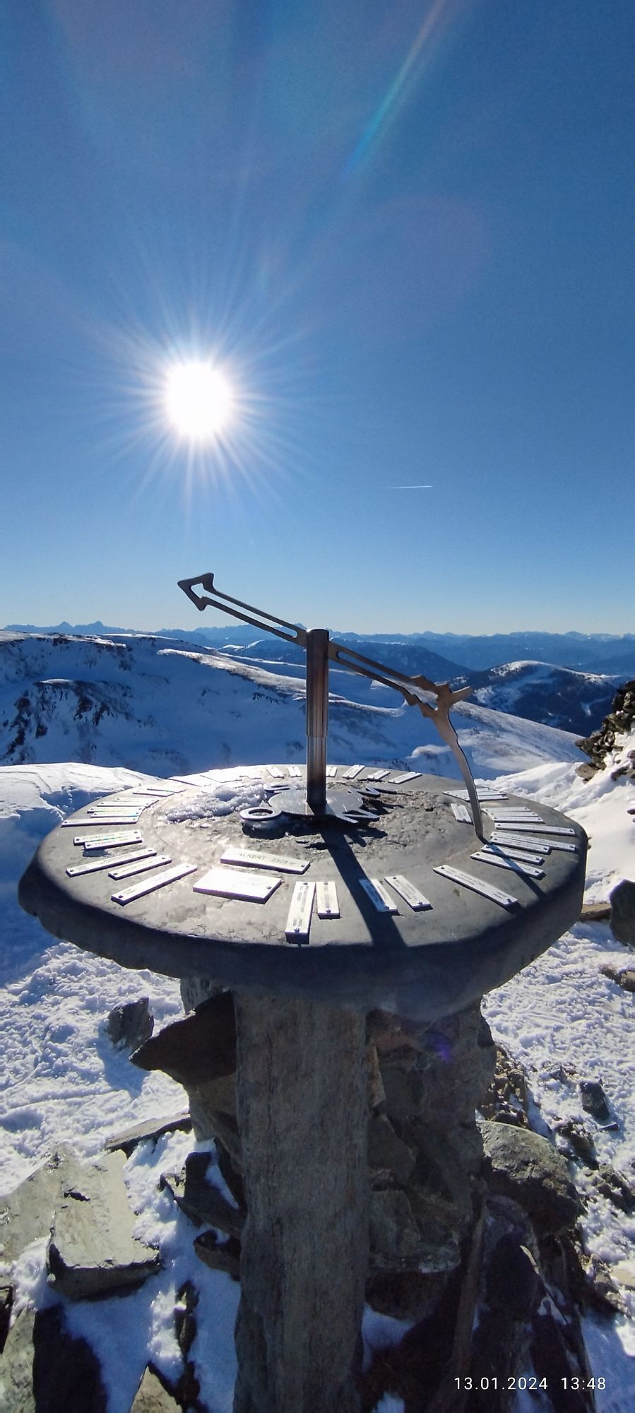
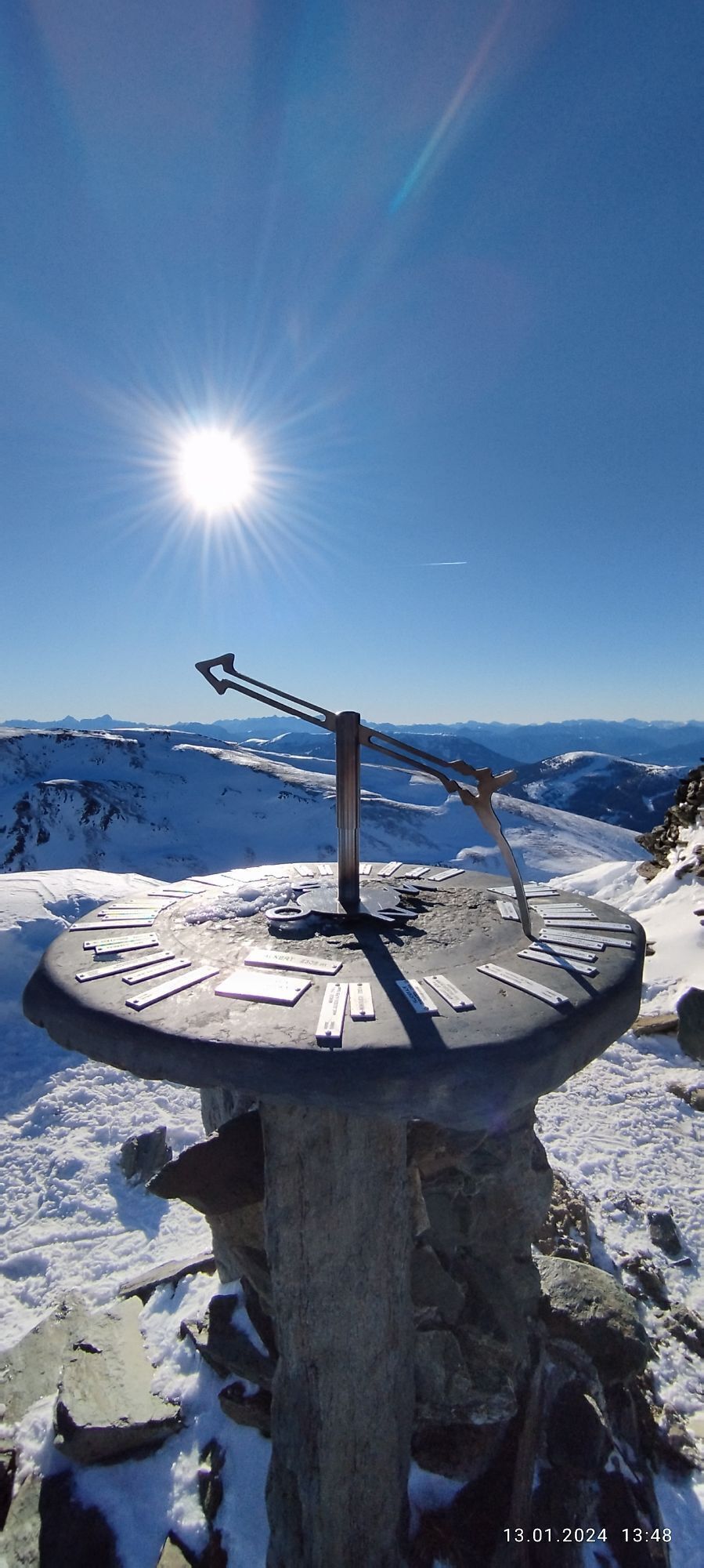
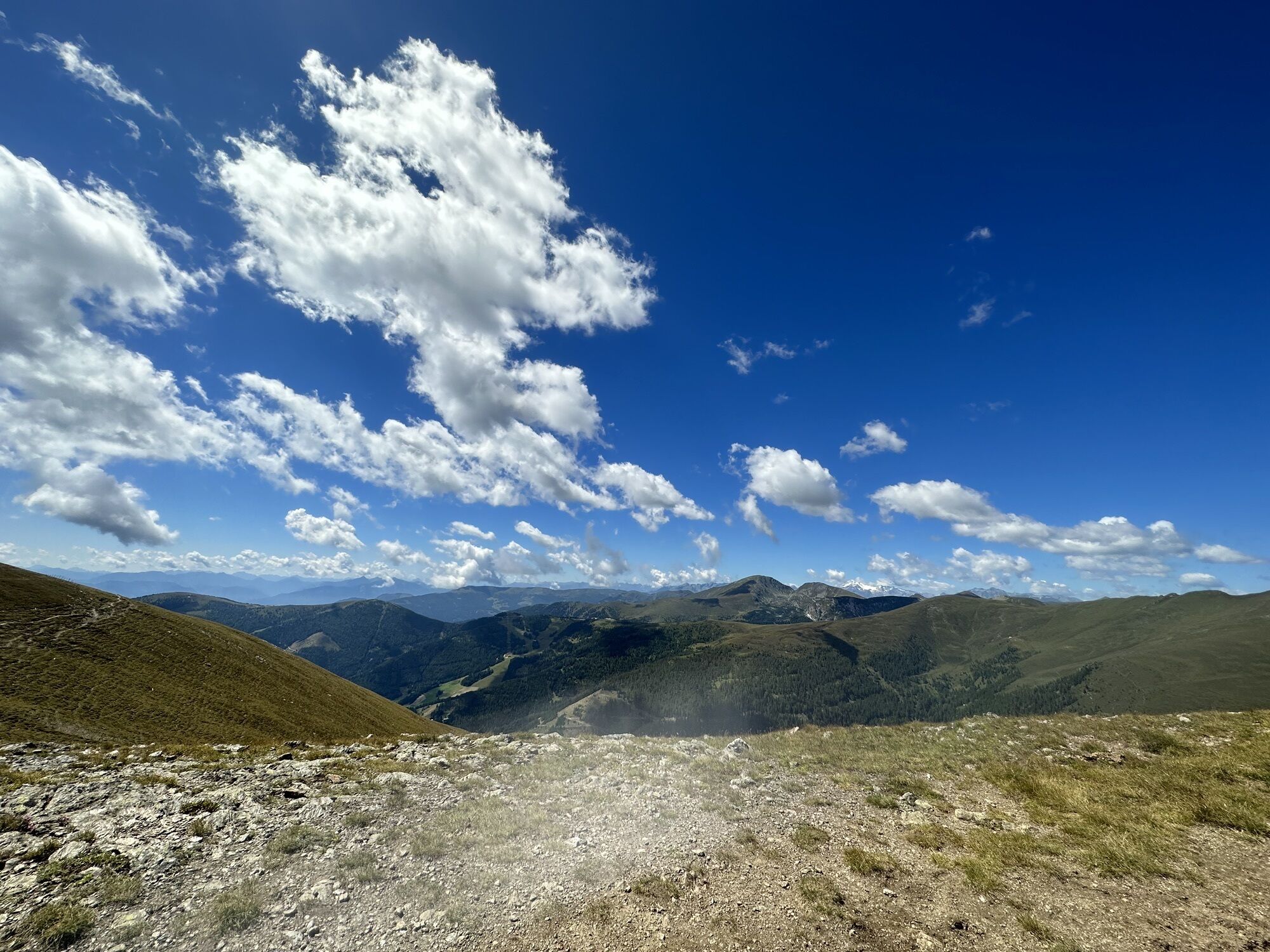
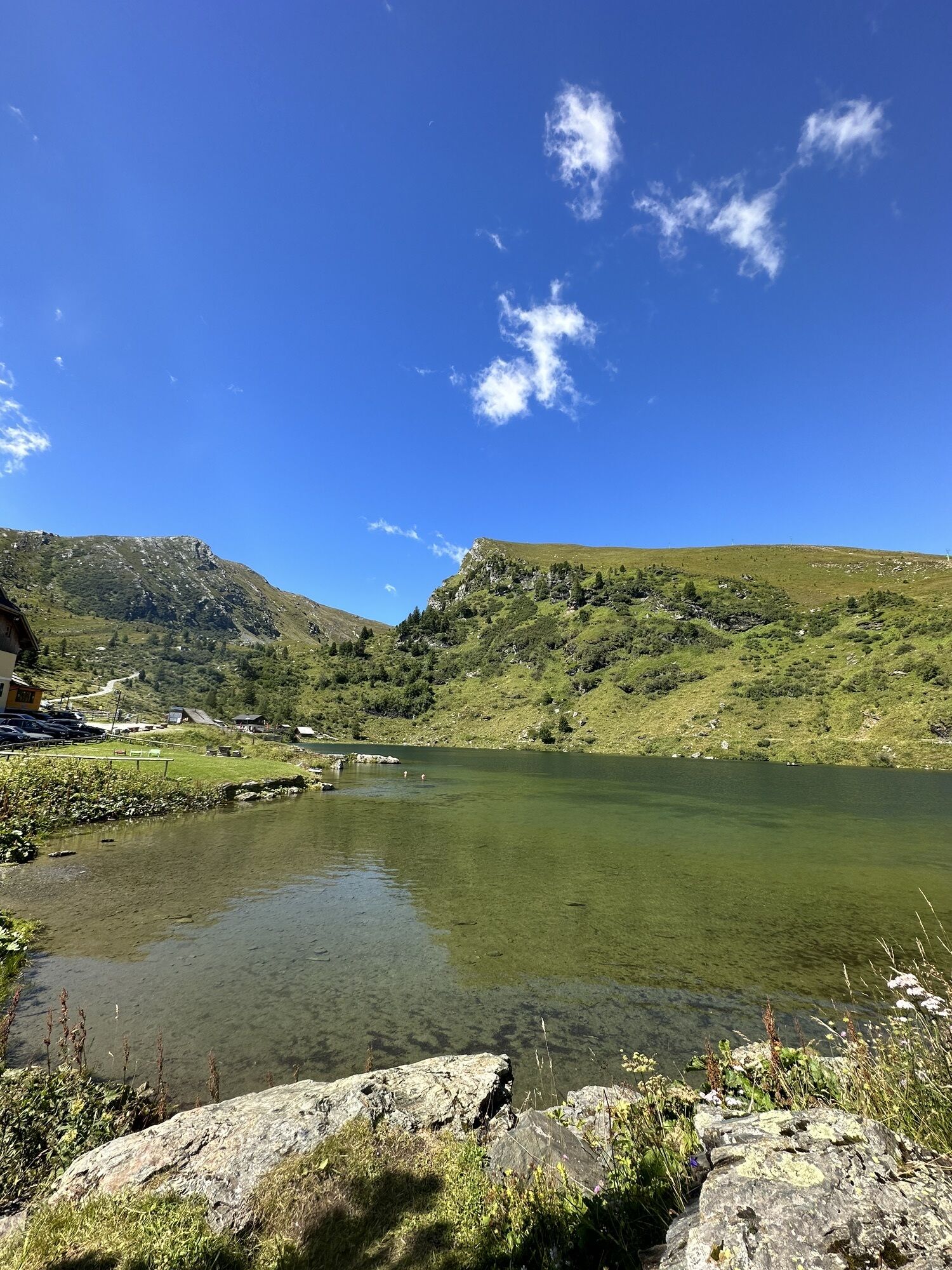
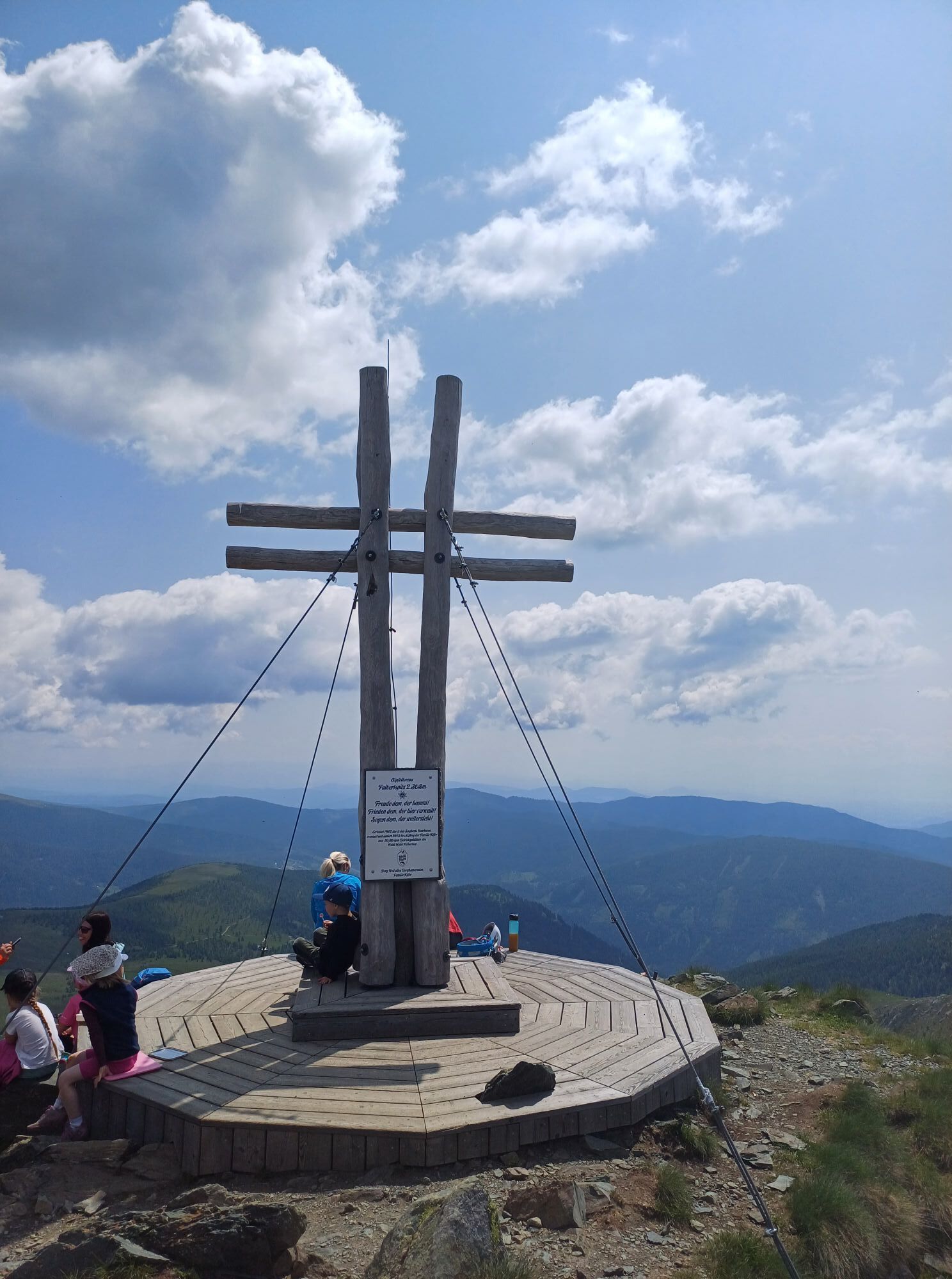
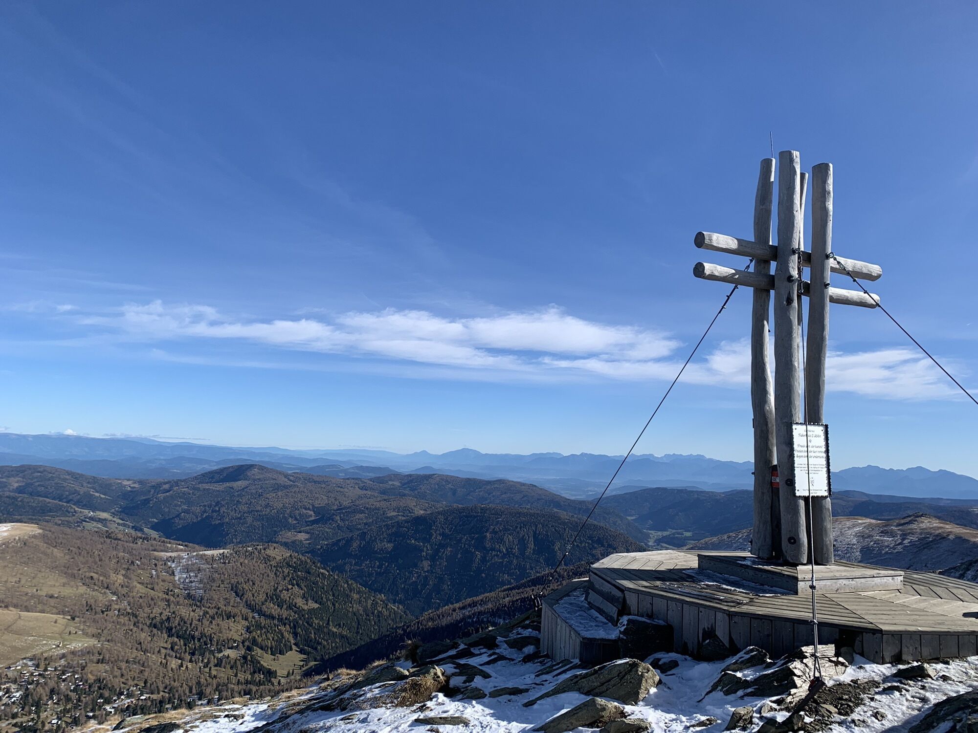
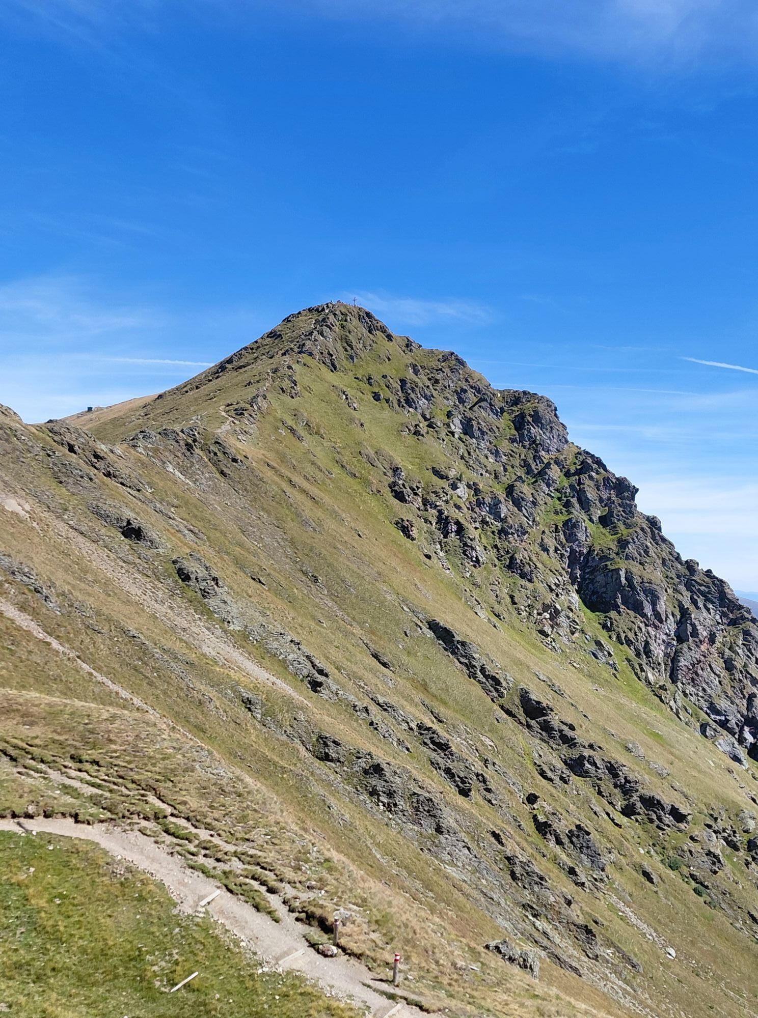
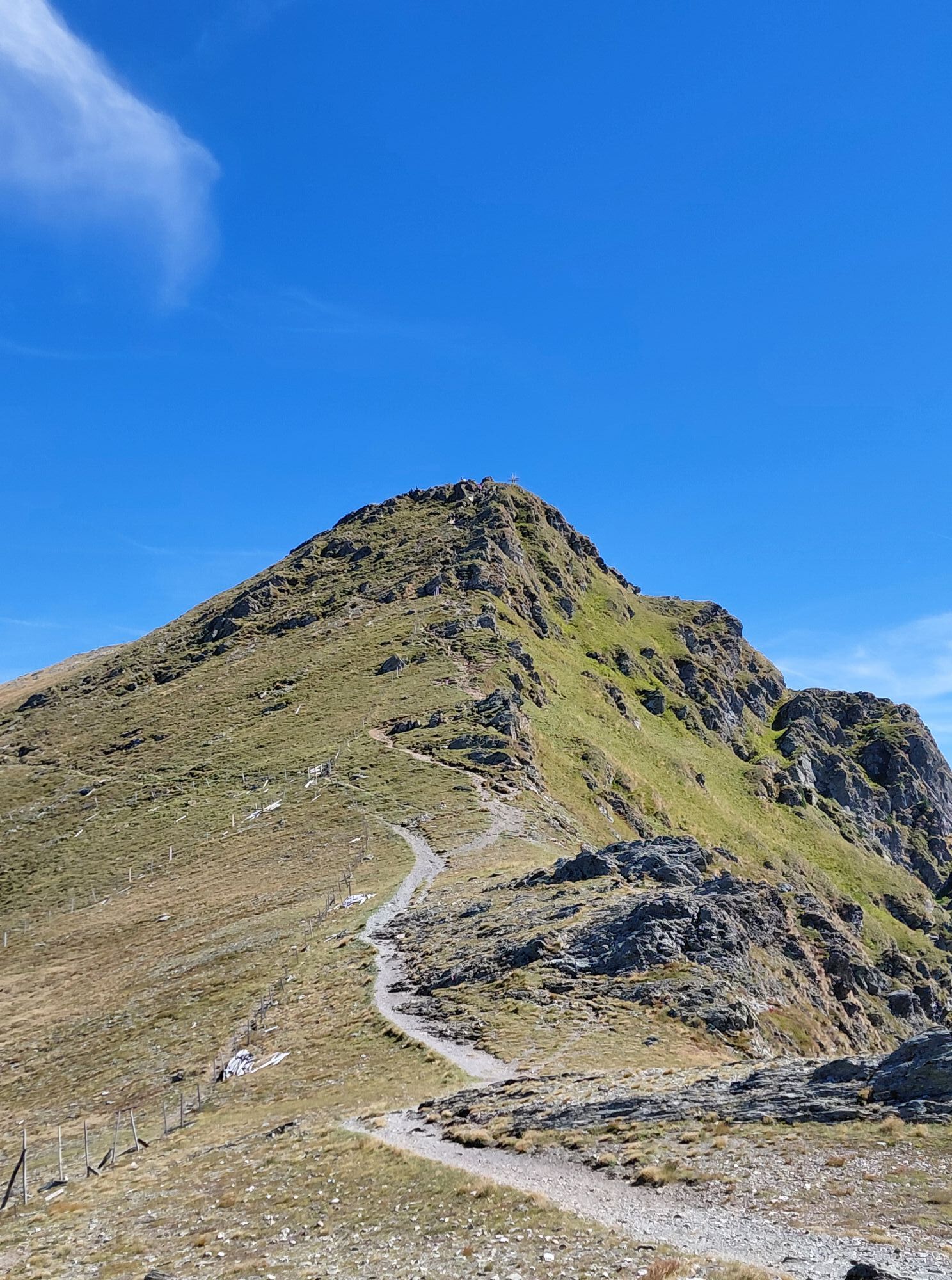
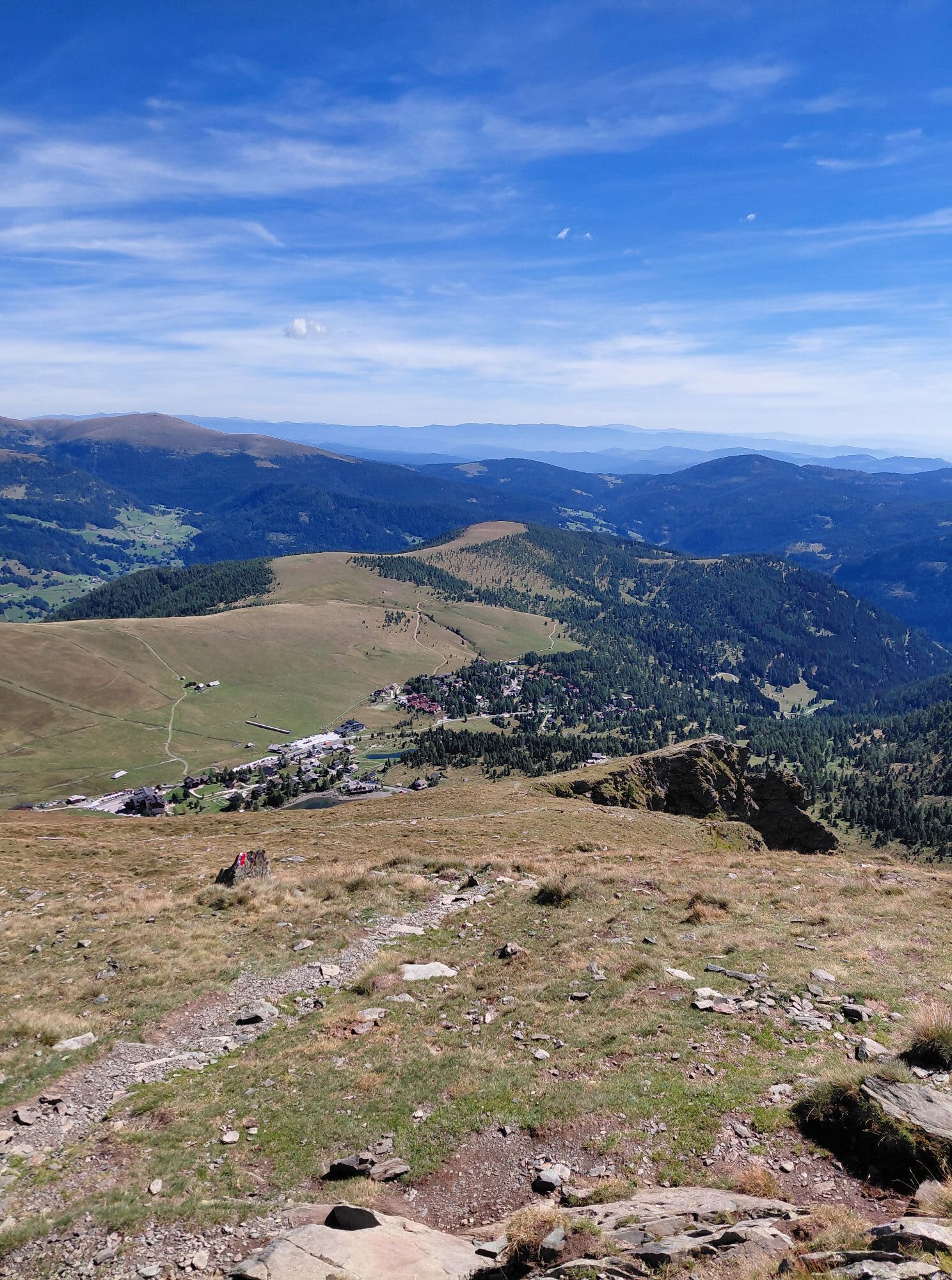
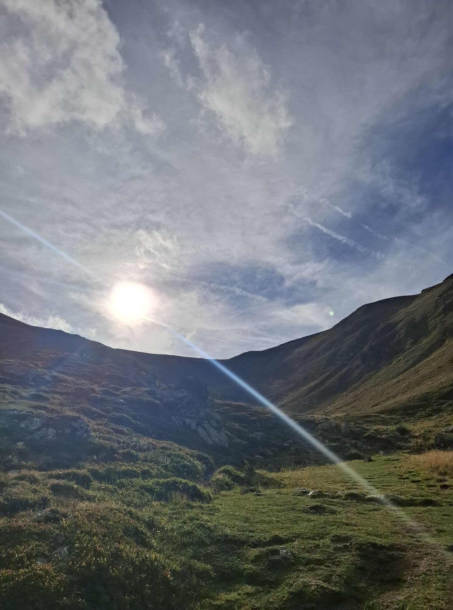
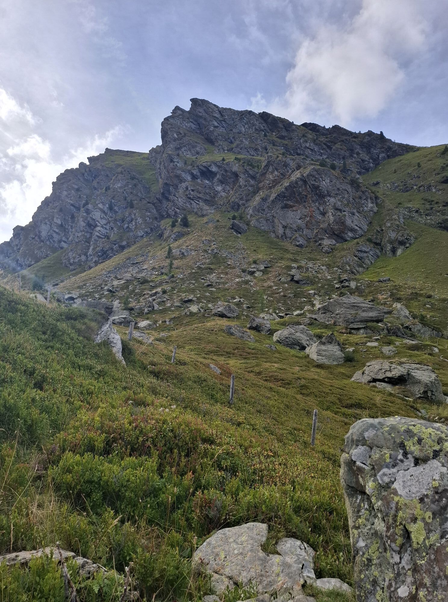
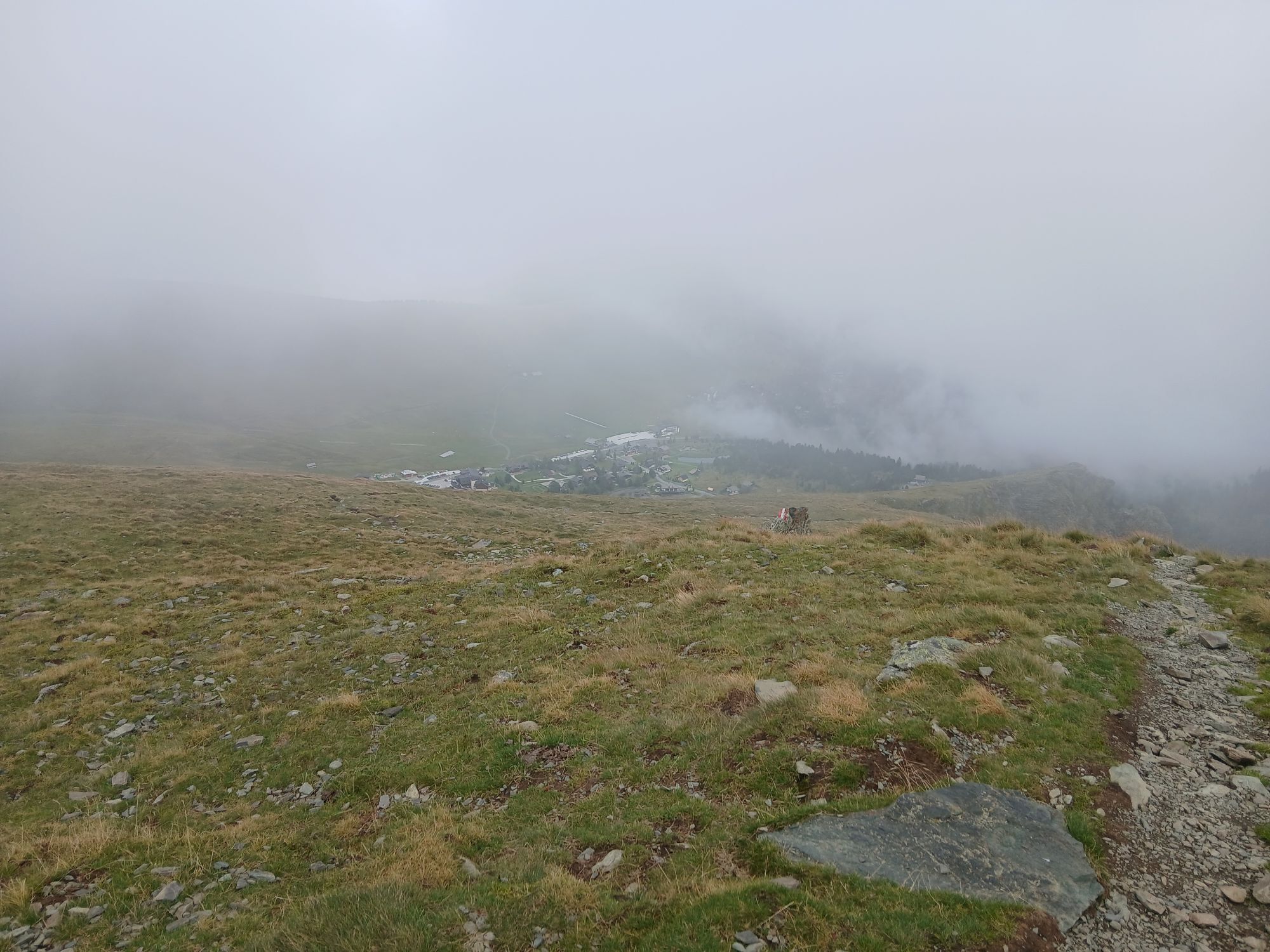
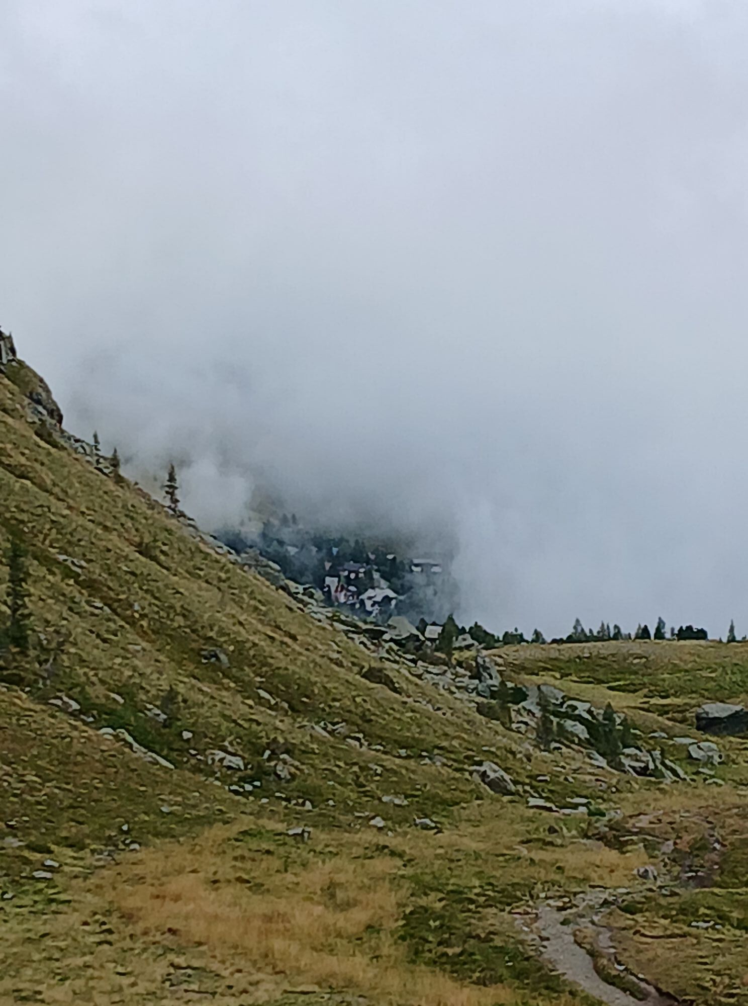
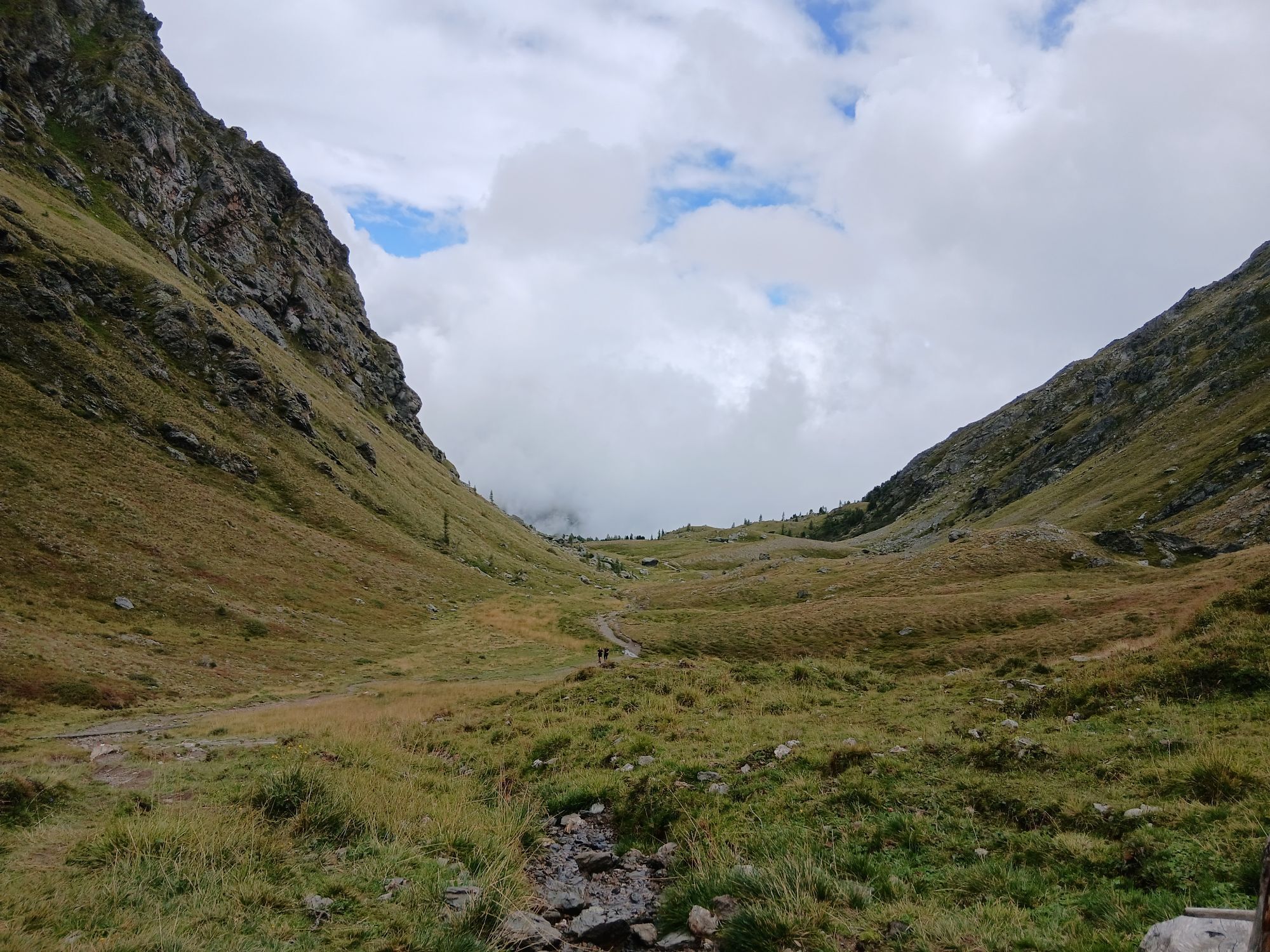
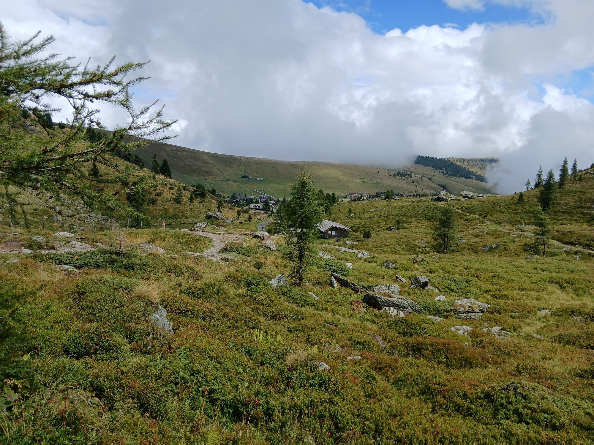
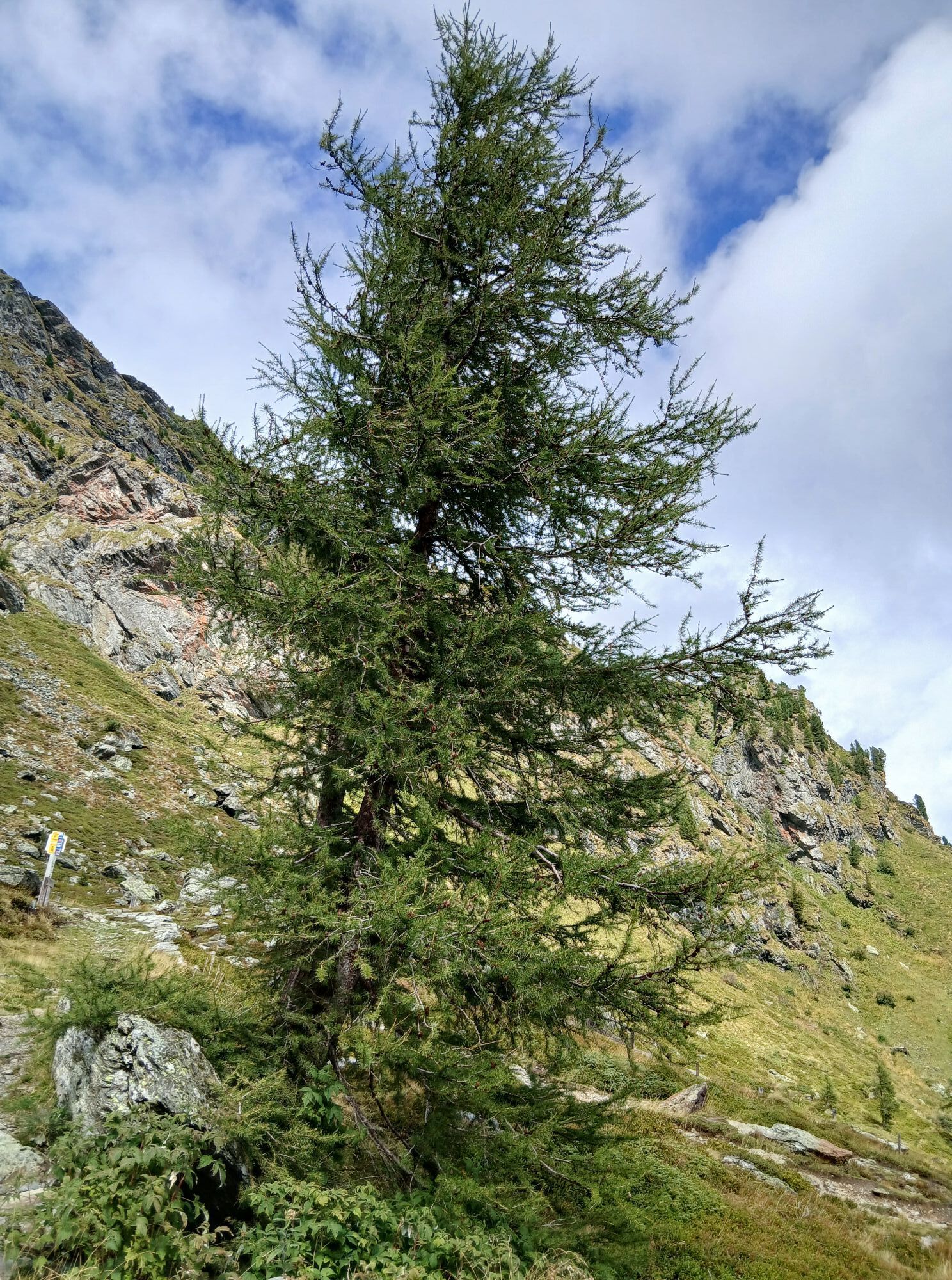
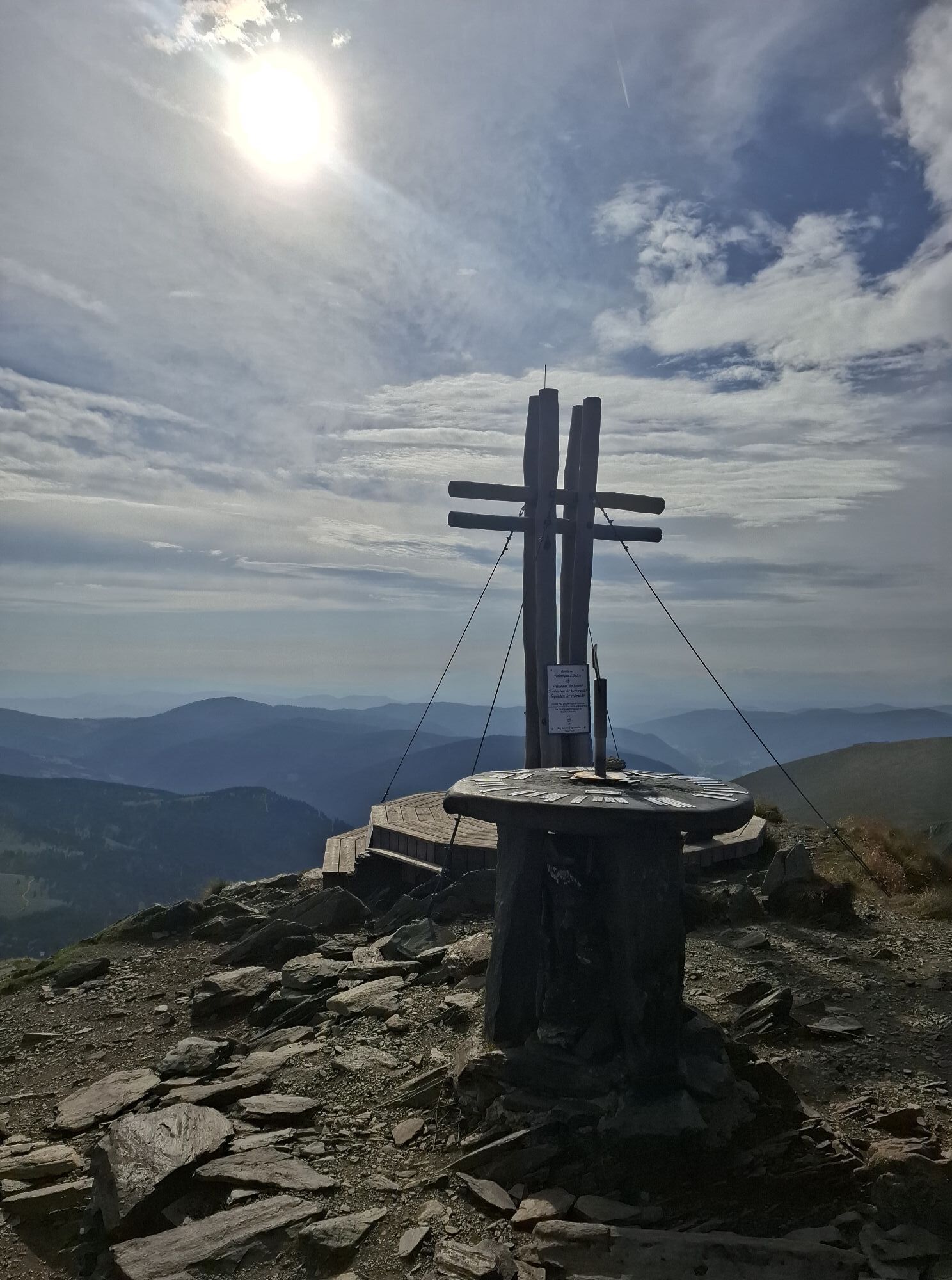
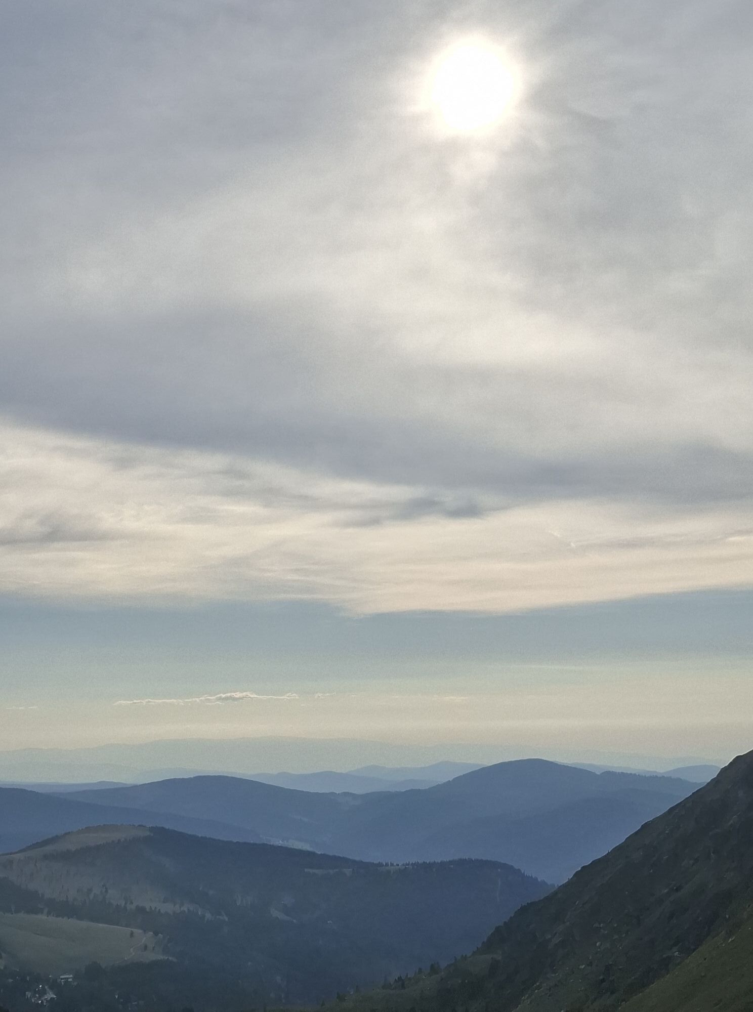
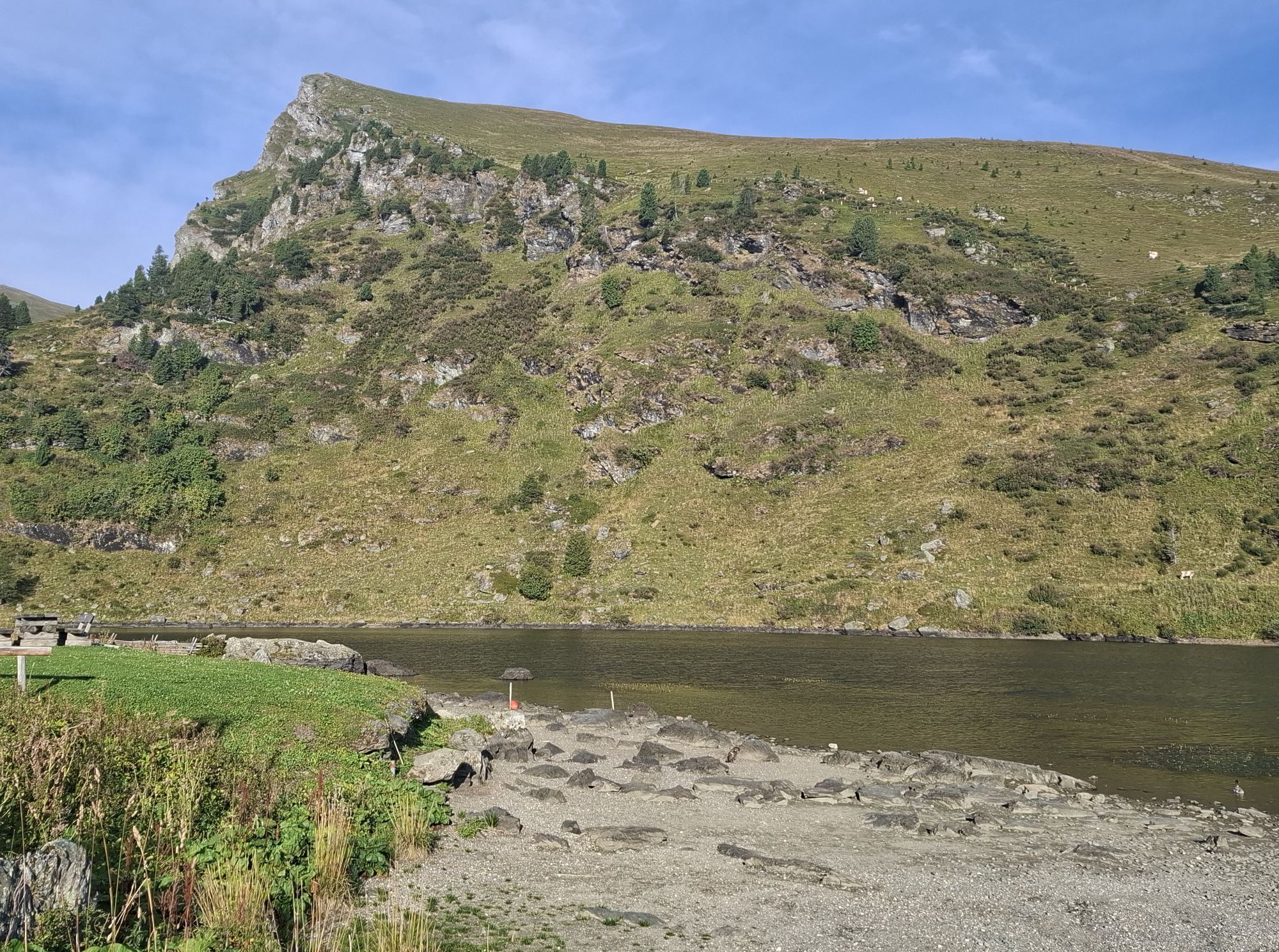
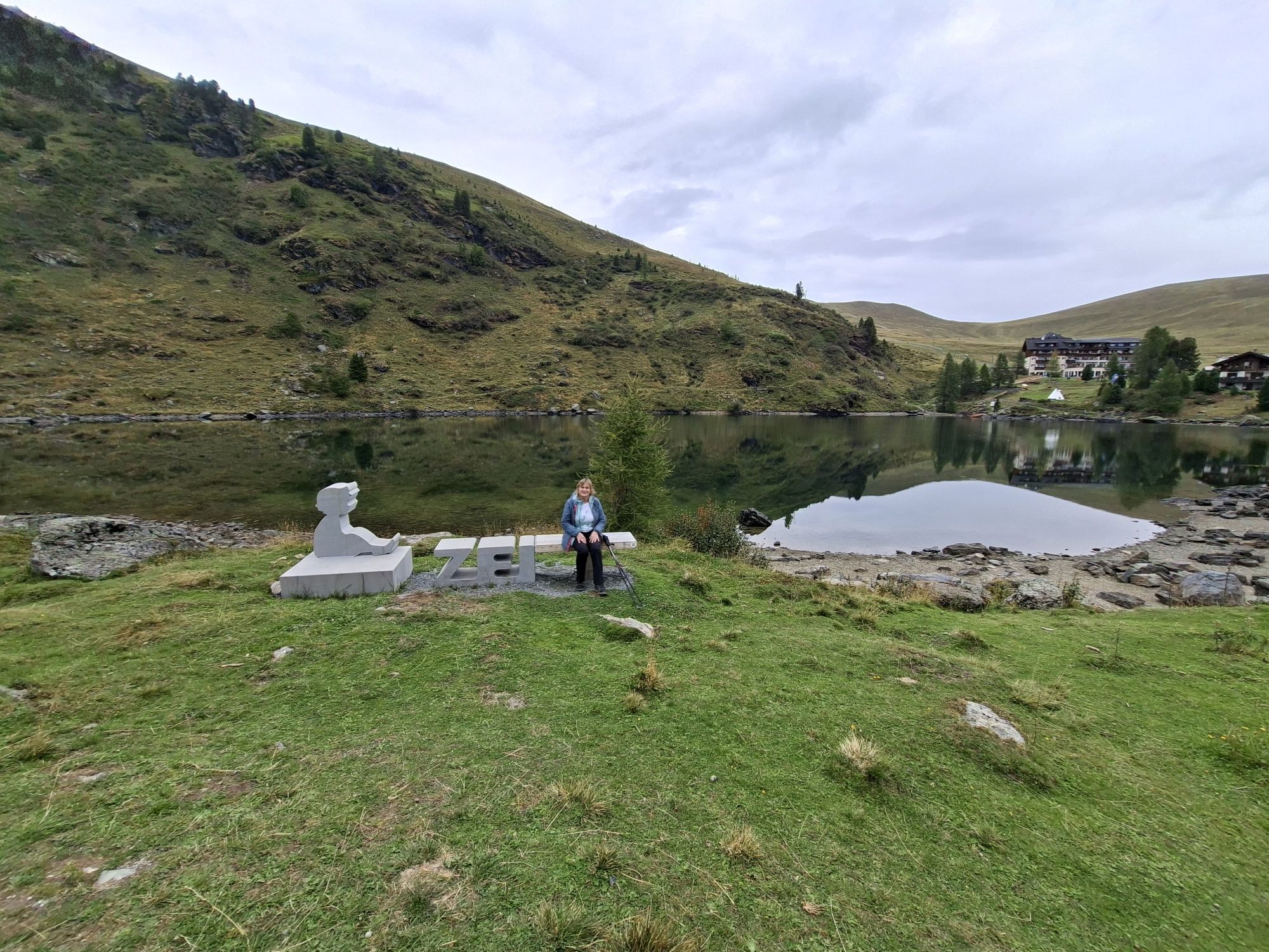
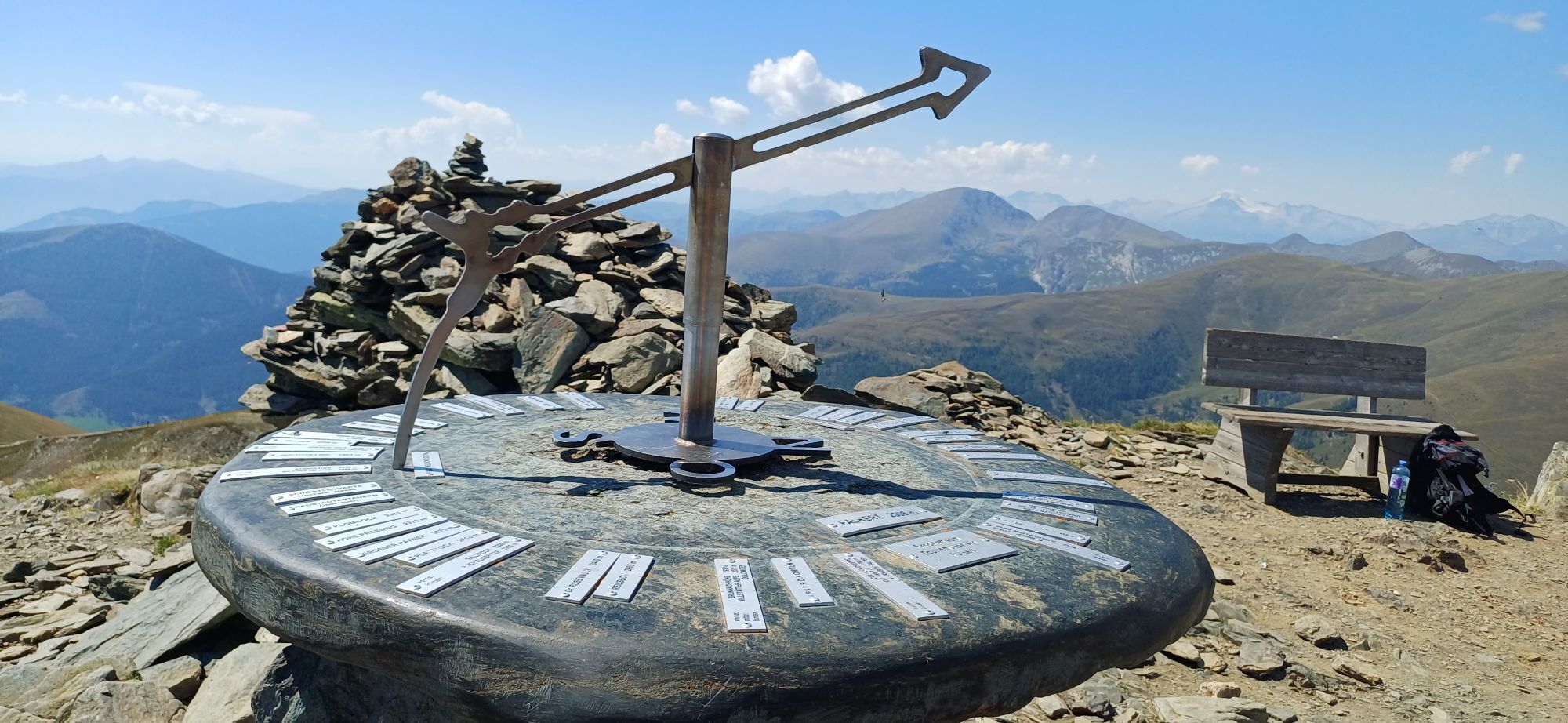
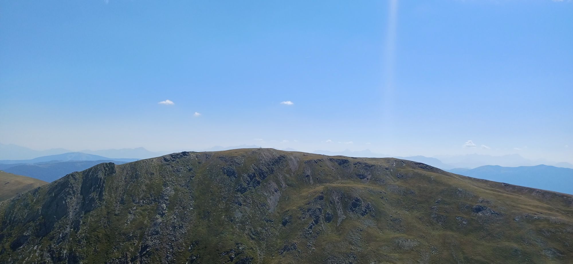
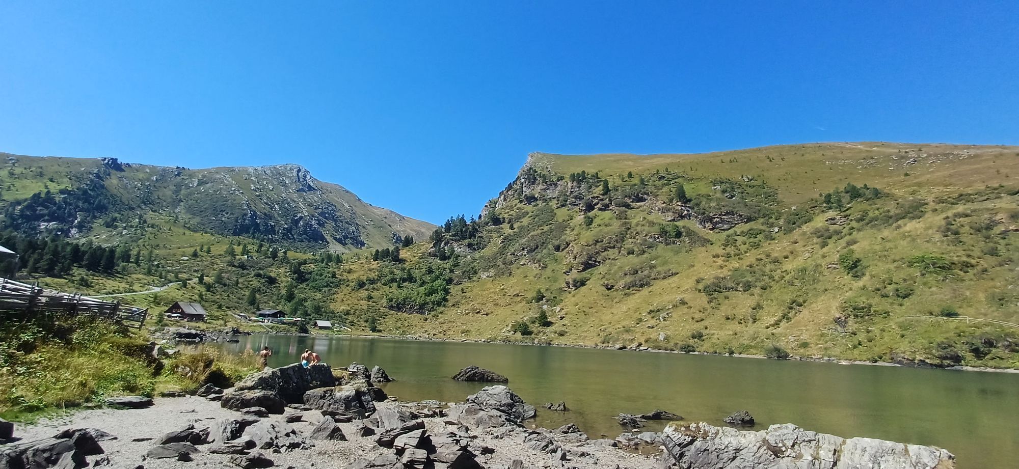
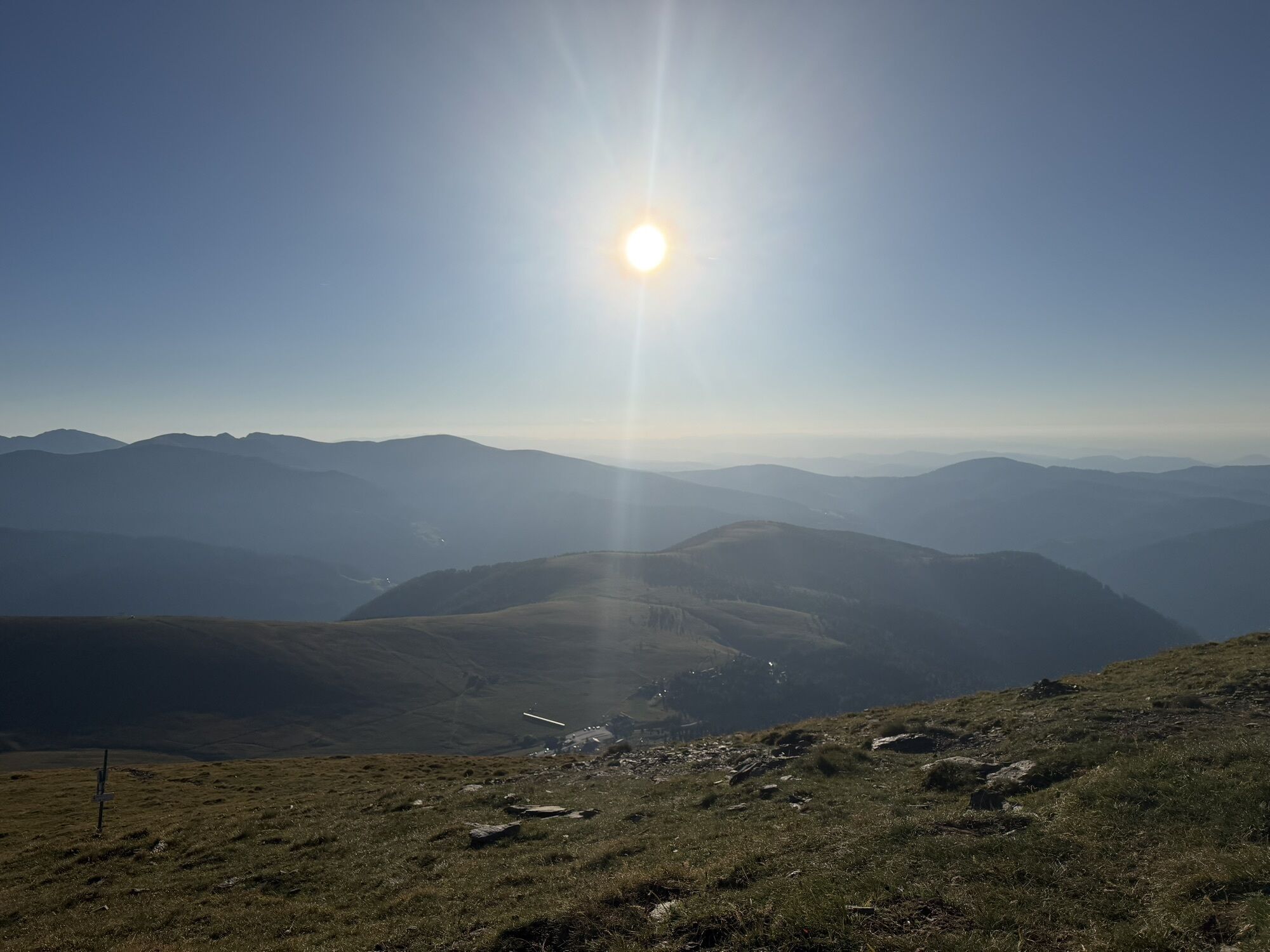
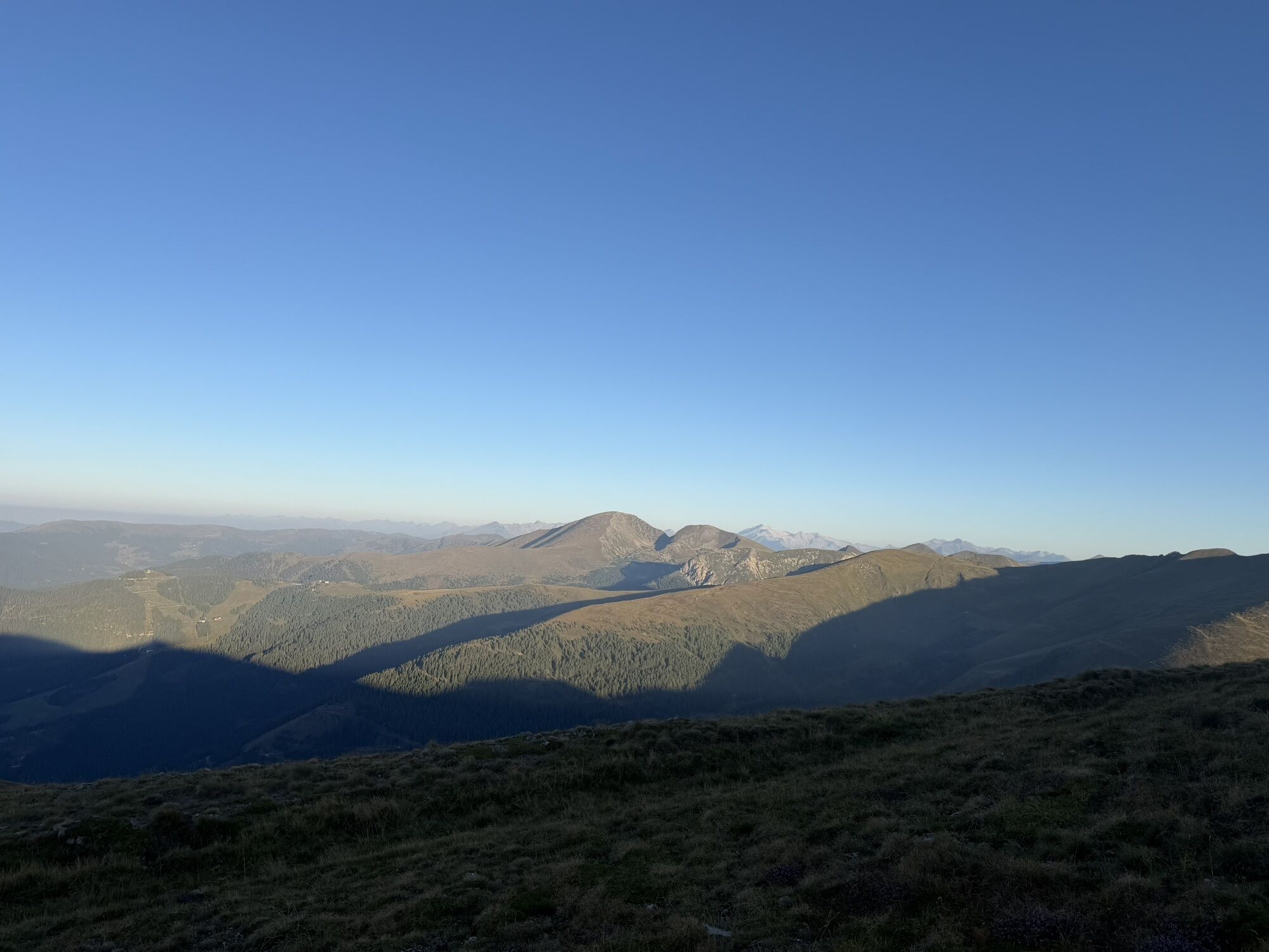
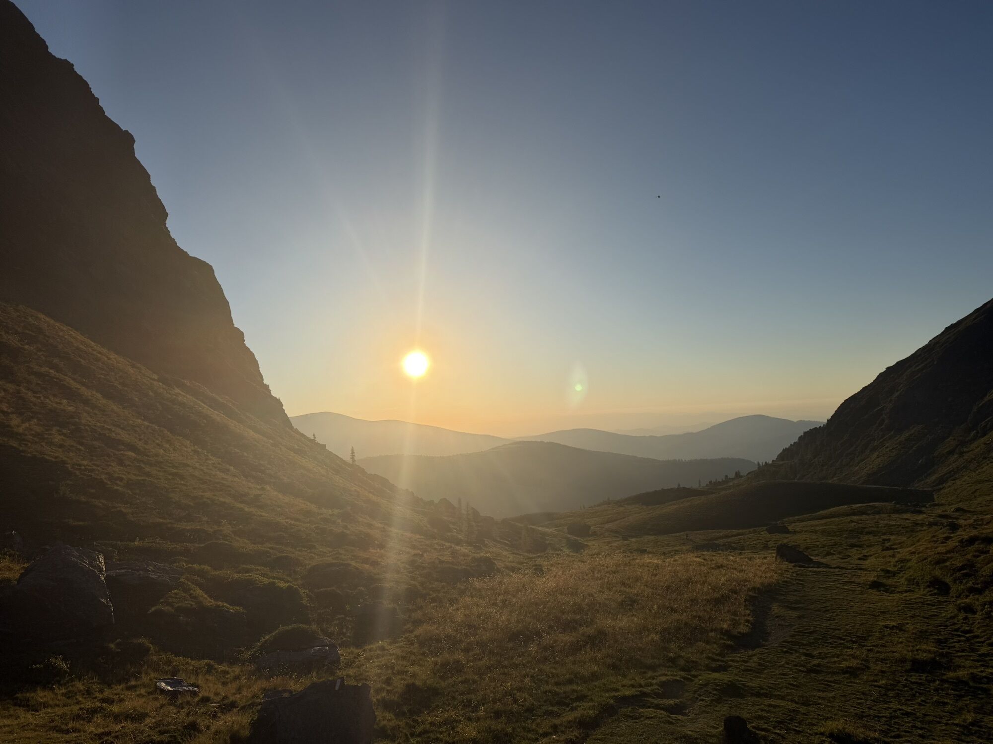
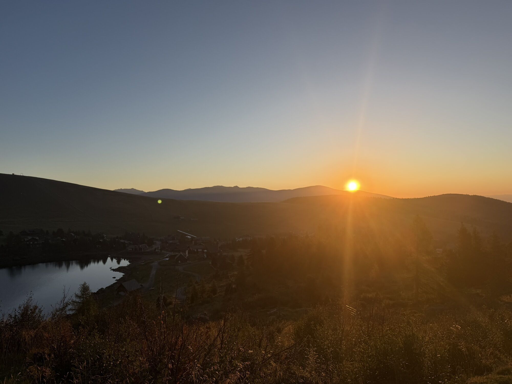
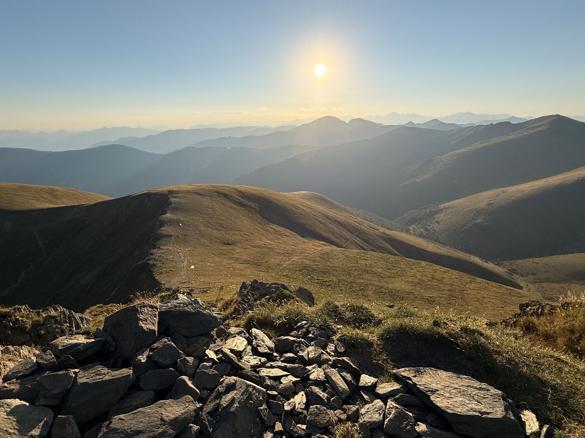
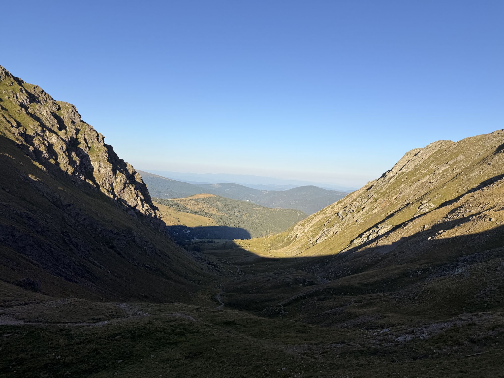
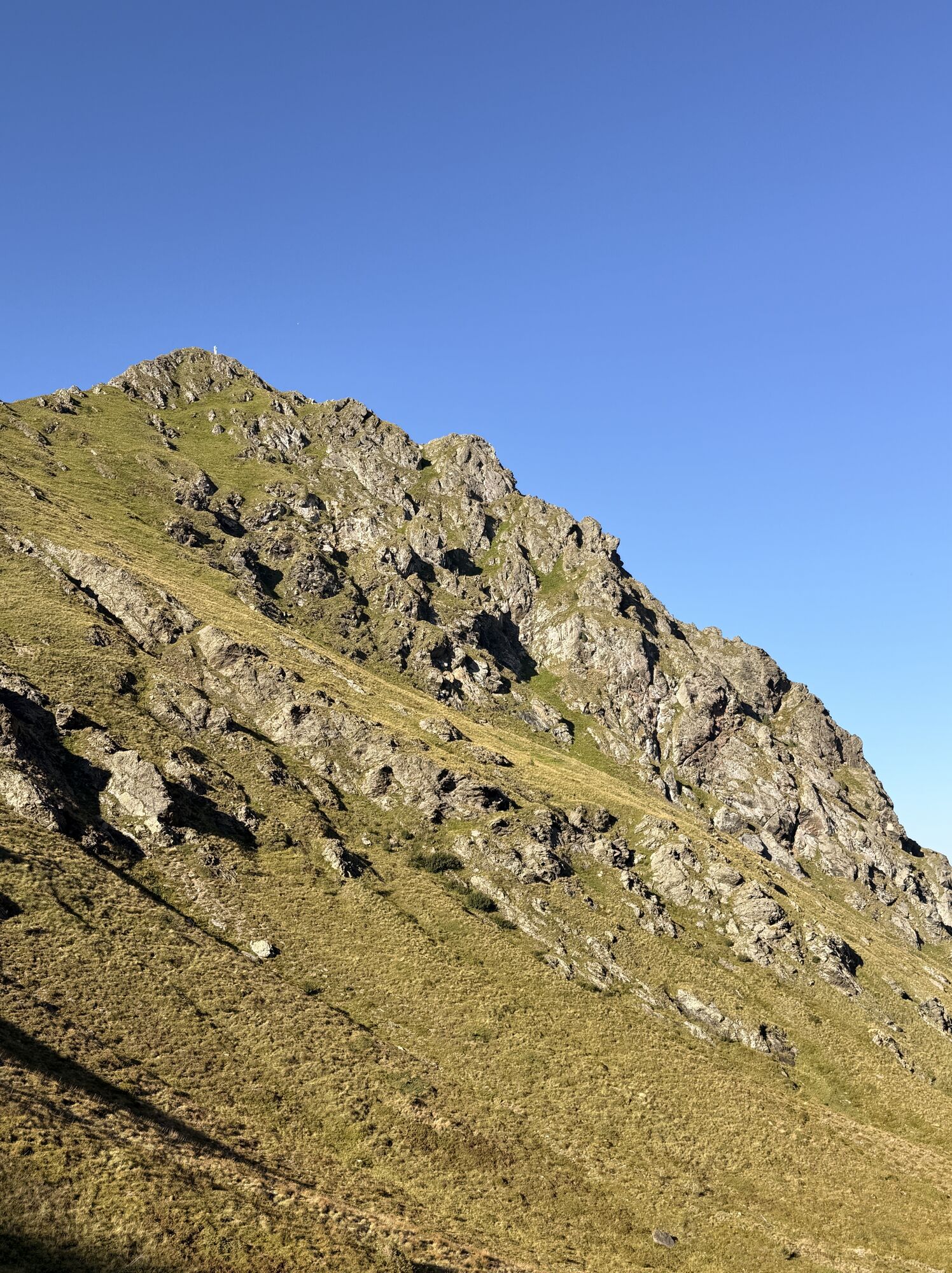
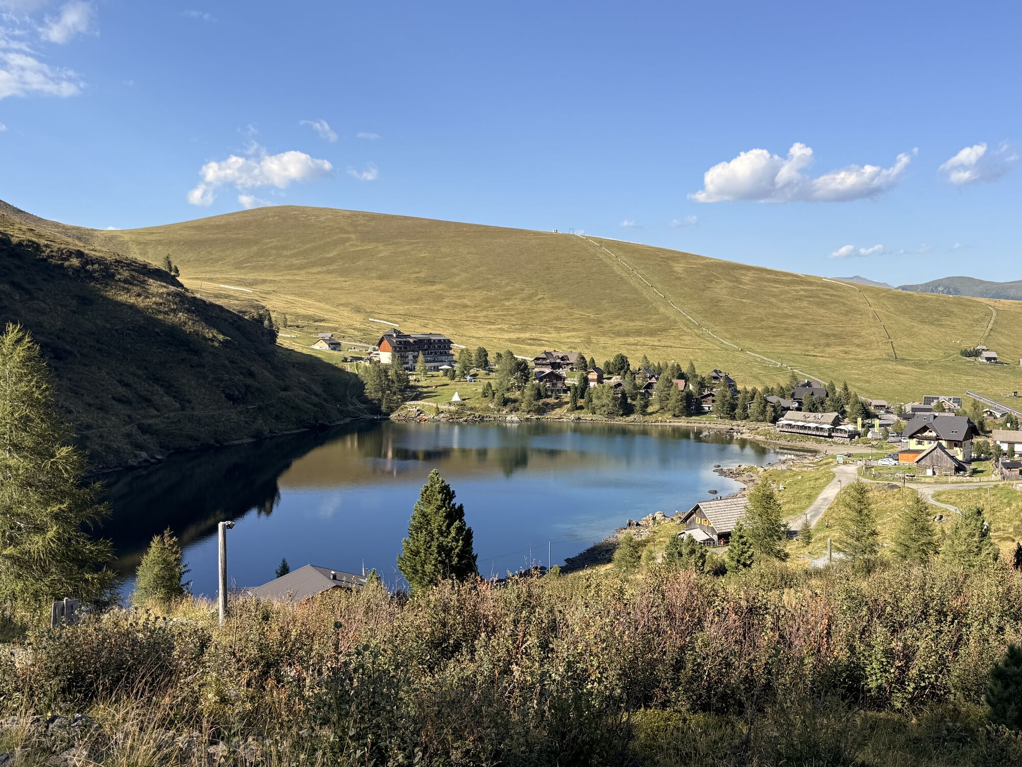
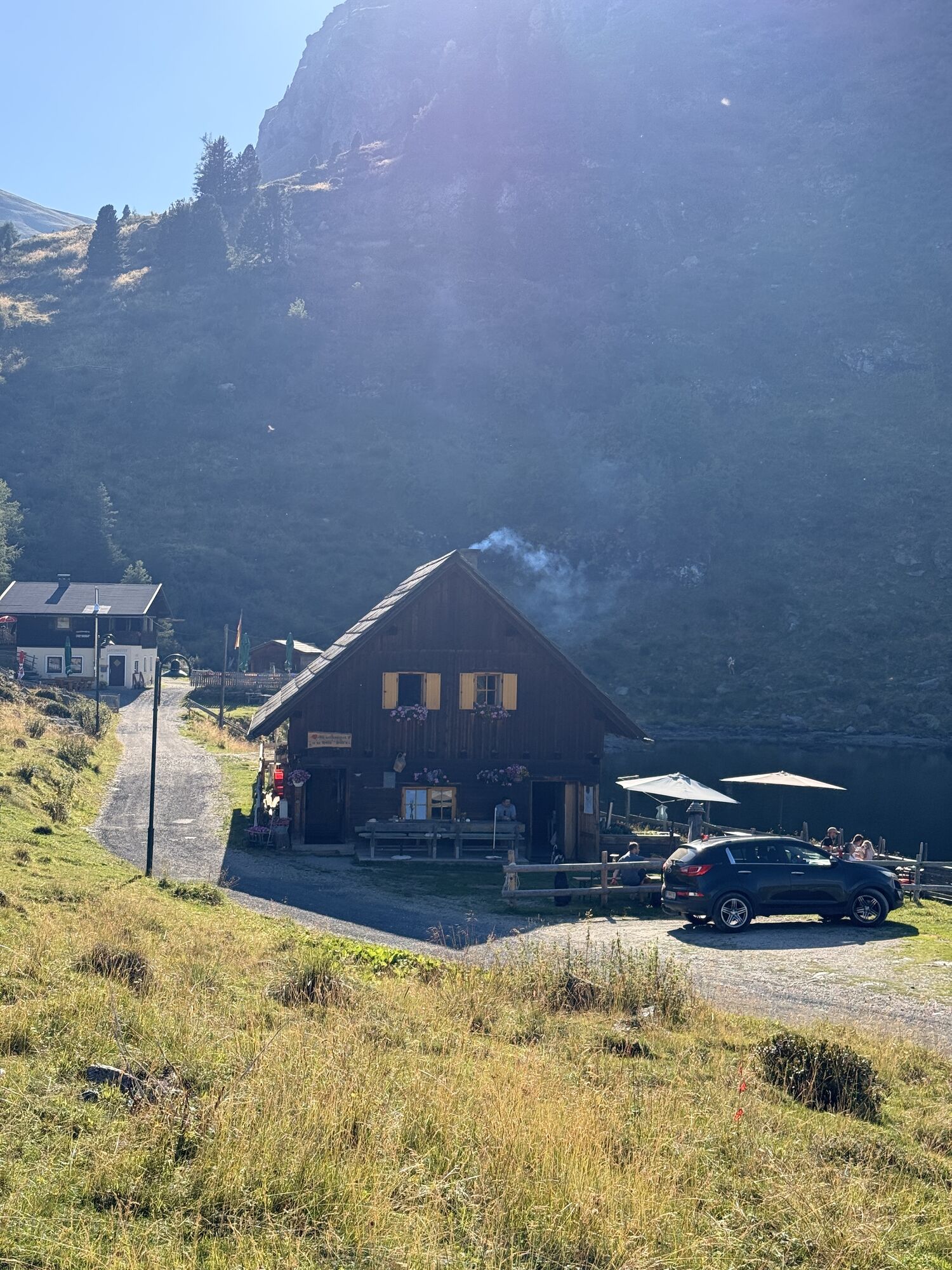
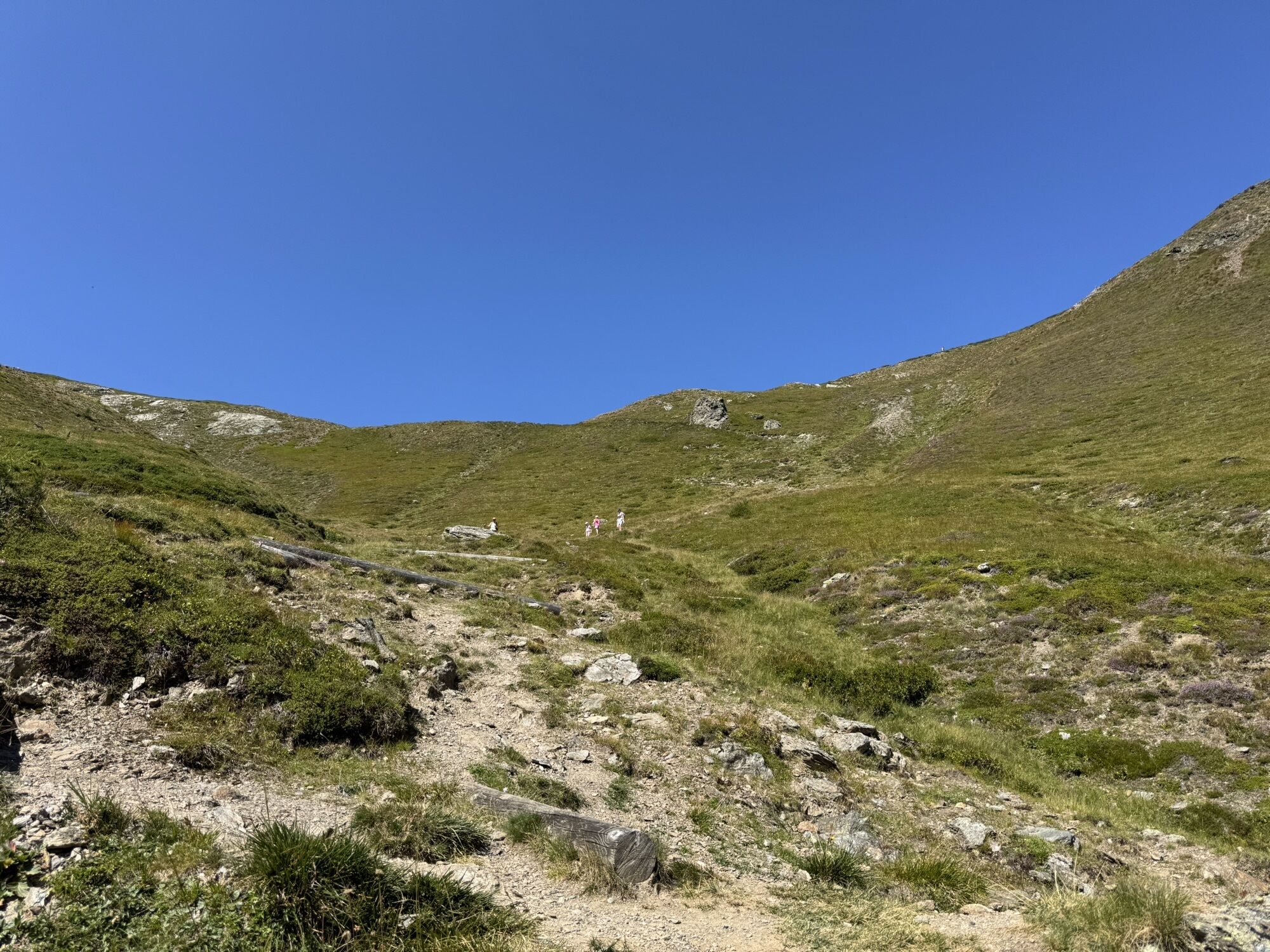
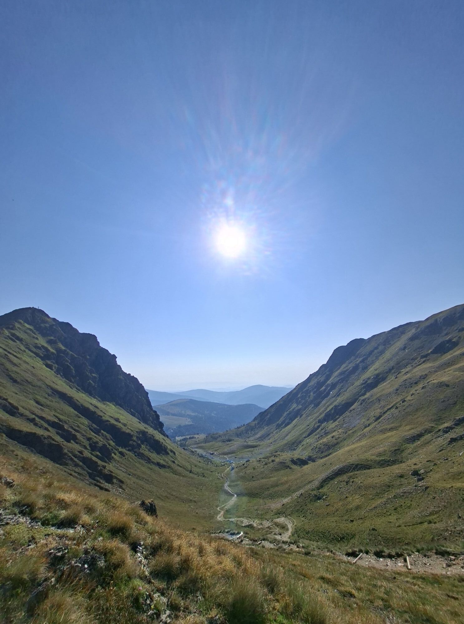
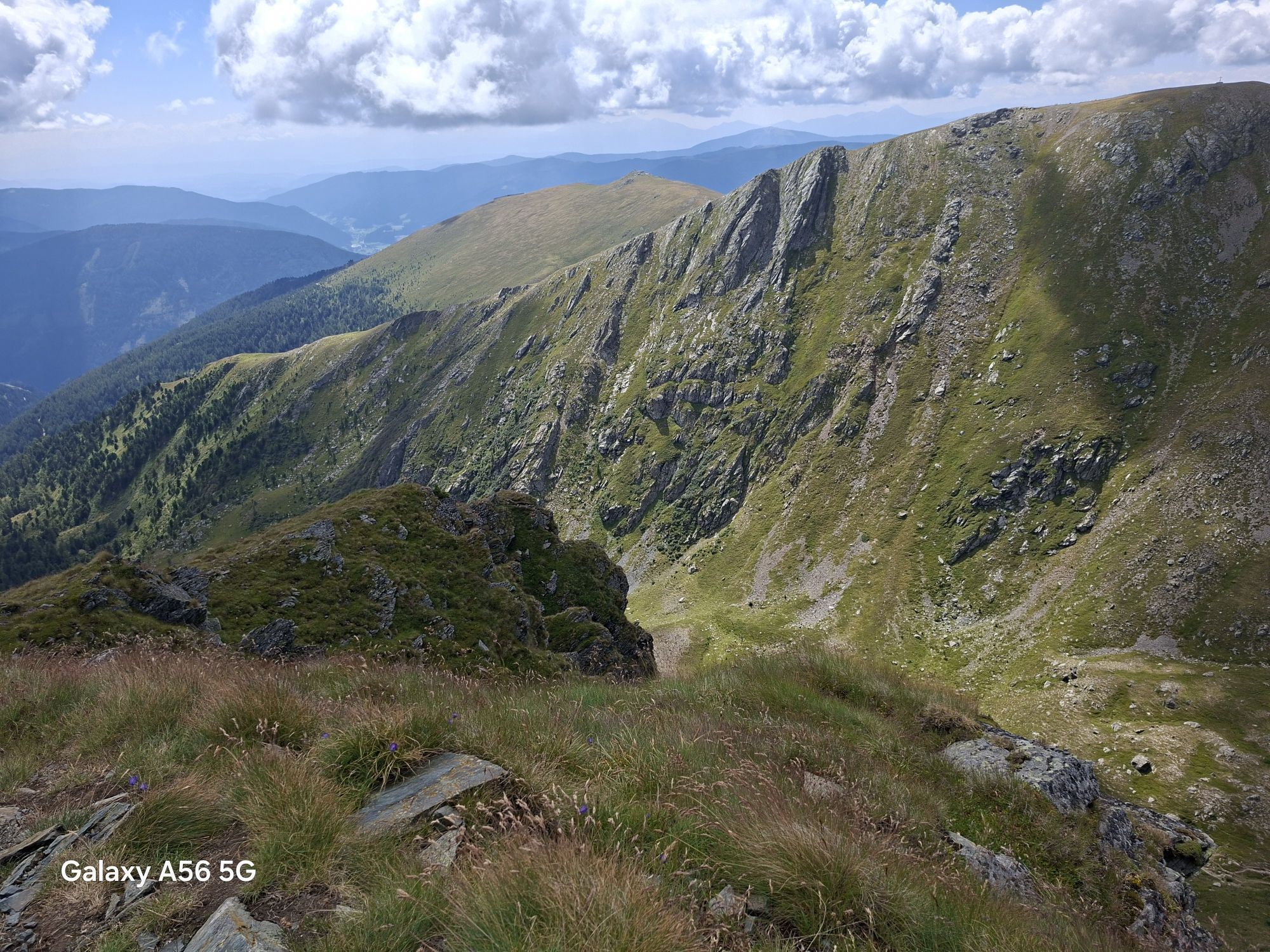
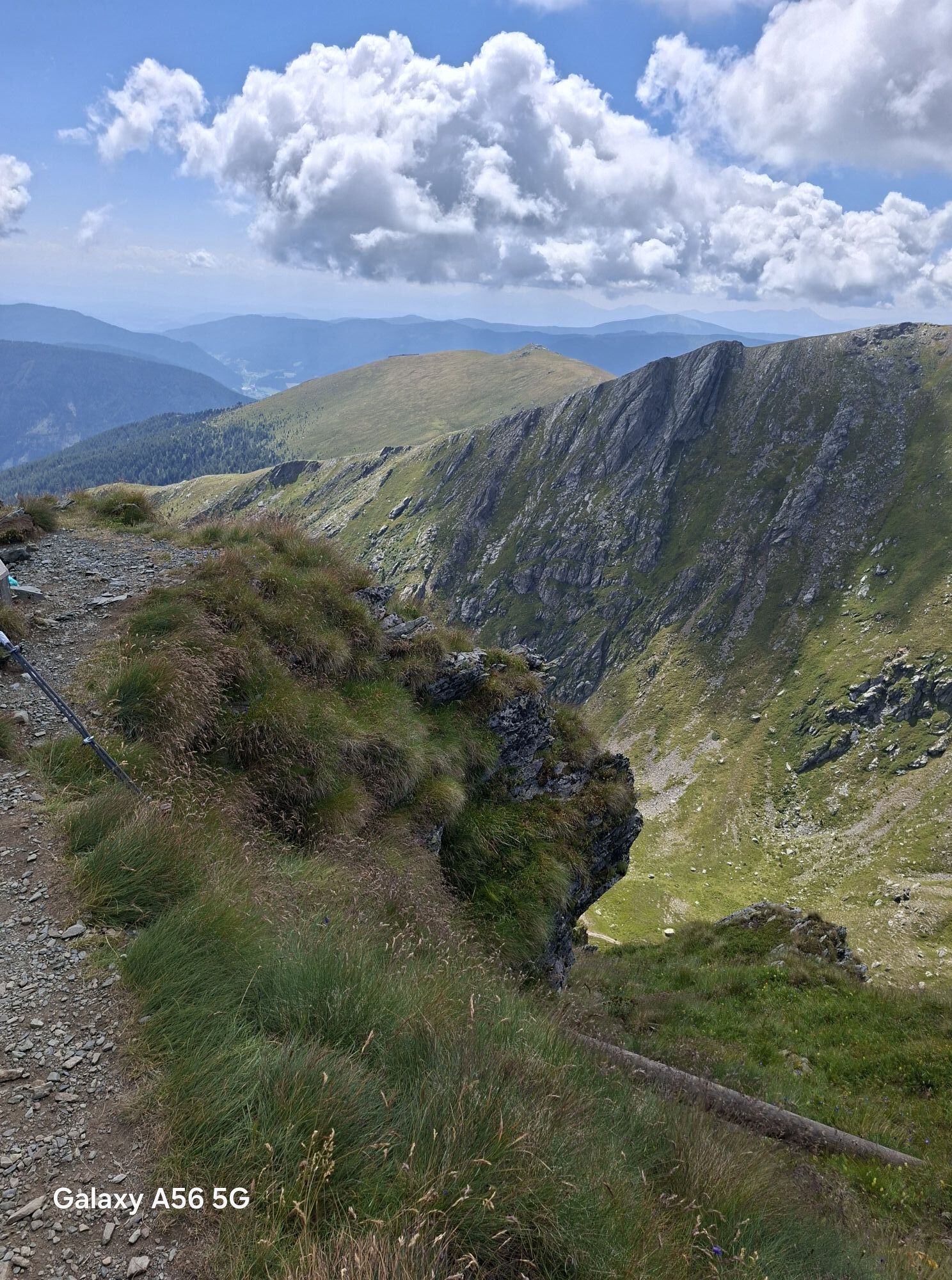
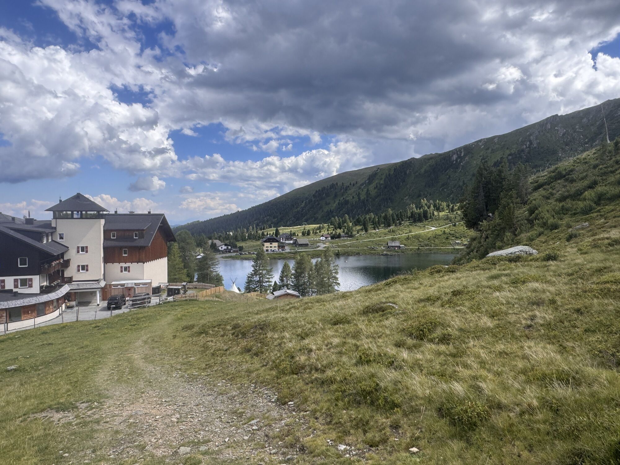
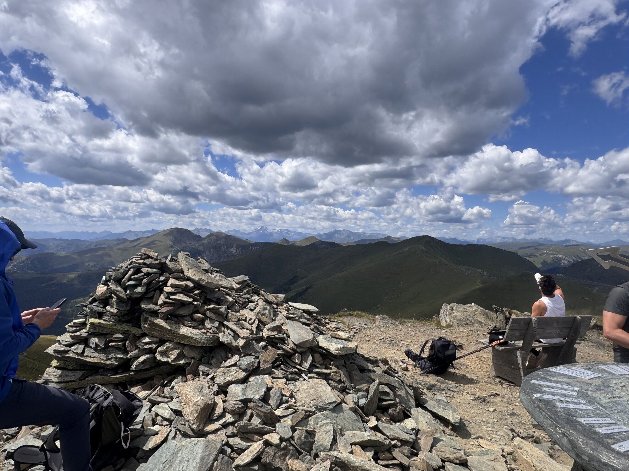
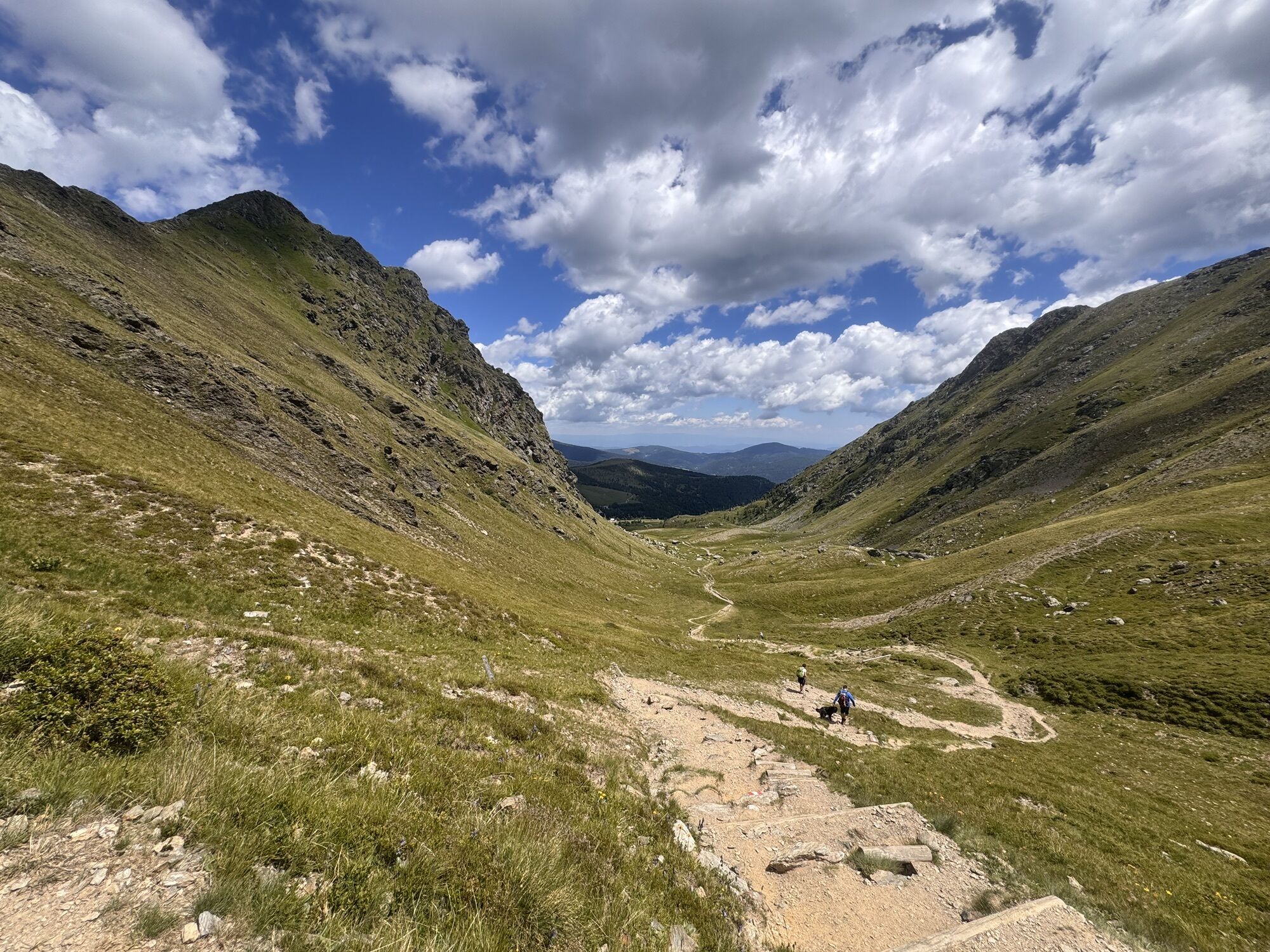
That is the summit! From Falkertsee to probably the best-known summit of the trail – the Falkert – and down the long ridge of the Totelitzen to Bad Kleinkirchheim
Tip:
I hike carefree on the Nockberge-Trail!
...That is the summit! From Falkertsee to probably the best-known summit of the trail – the Falkert – and down the long ridge of the Totelitzen to Bad Kleinkirchheim
Tip:
I hike carefree on the Nockberge-Trail!
The official Nockberge-Trail info and booking center with the award-winning Trail Angels team gladly supports me. Whether advanced or beginner: with the competent and helpful booking team, I am in good hands. Especially when I want to combine personal freedom and longing for something special on my hike with service, comfort, and safety.
Information and booking:
Official Nockberge-Trail info and booking center
powered by Trail Angels
Obervellach 15, 9821 Obervellach
+43 4782 93093
info@nockberge-trail.com
www.nockberge-trail.com

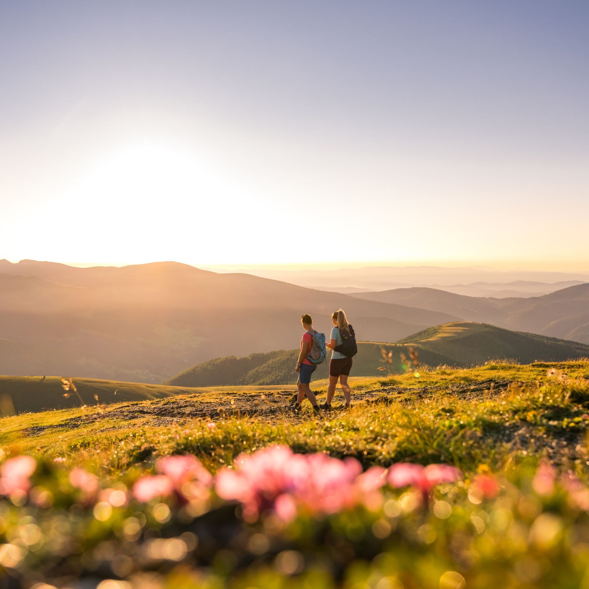

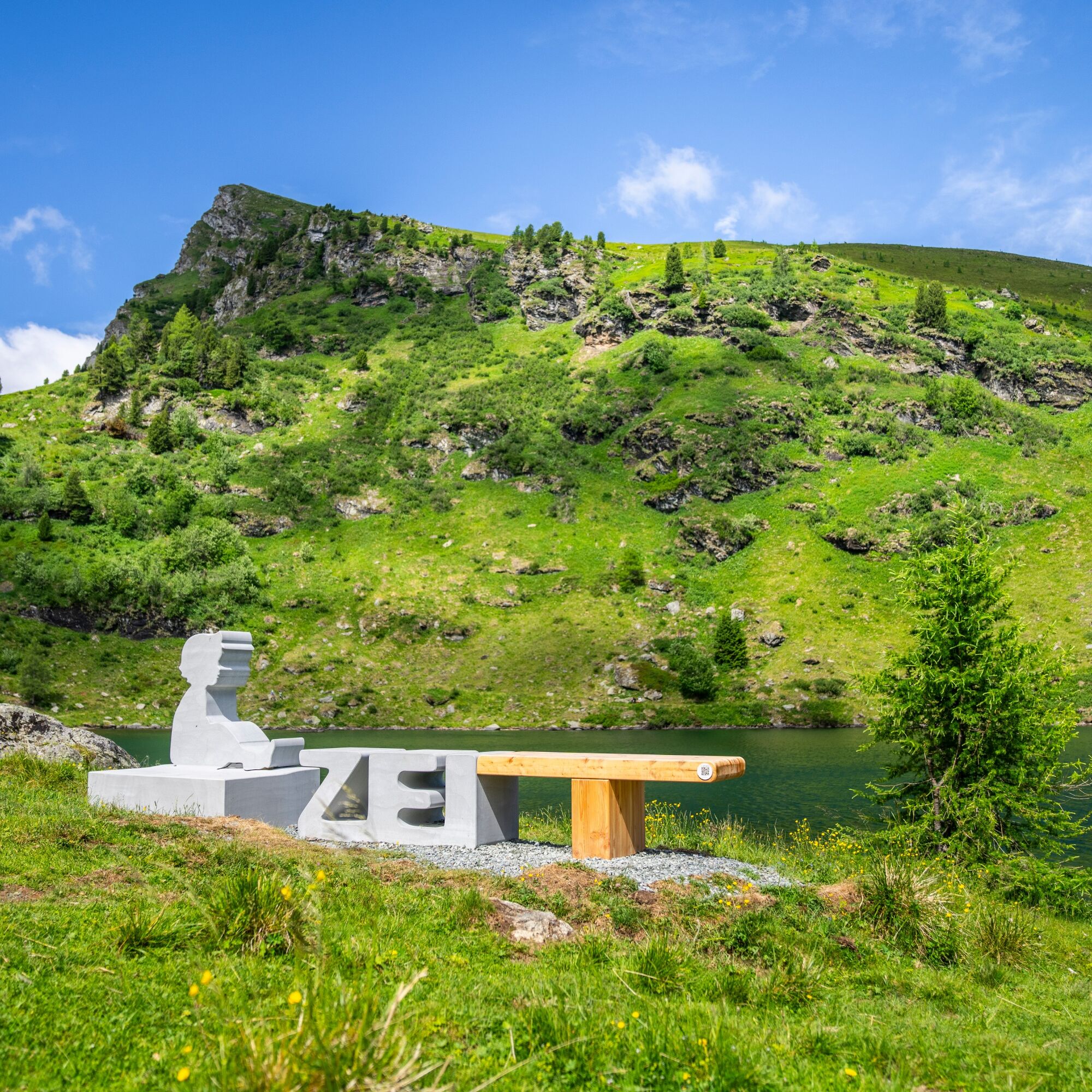

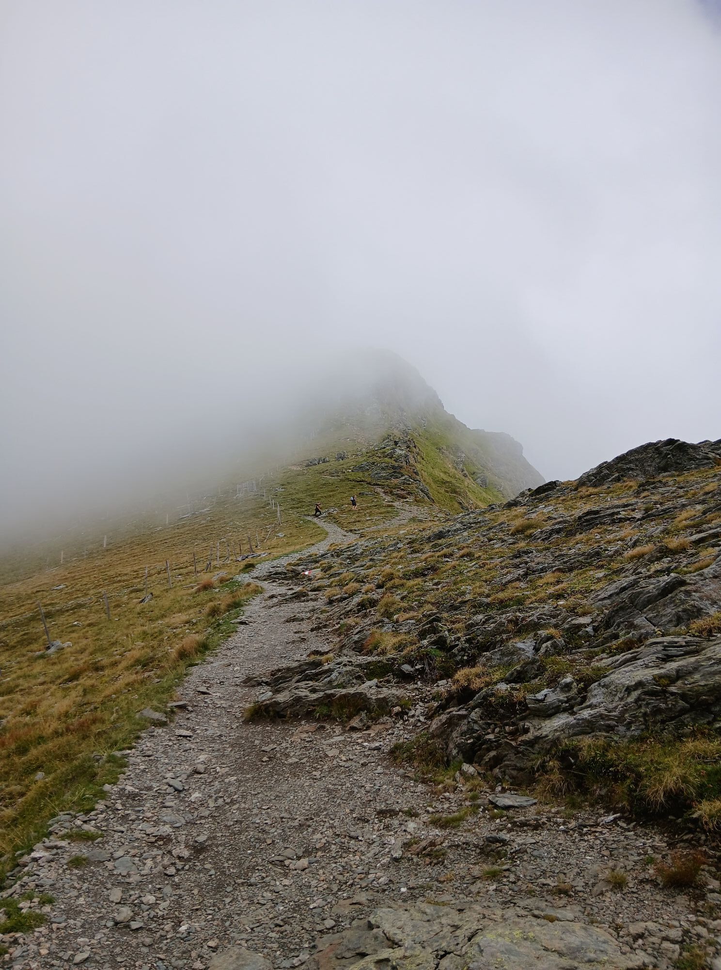
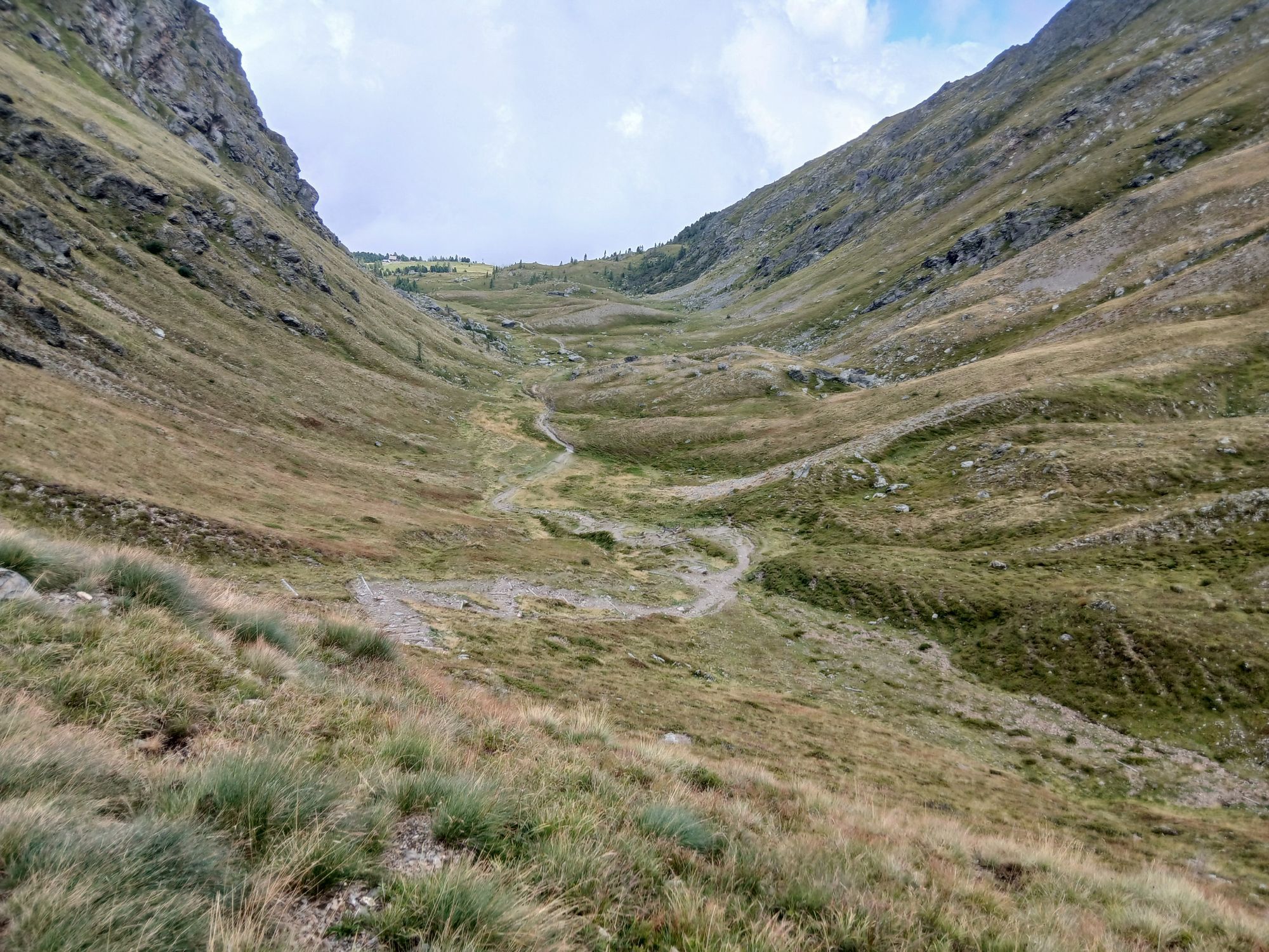
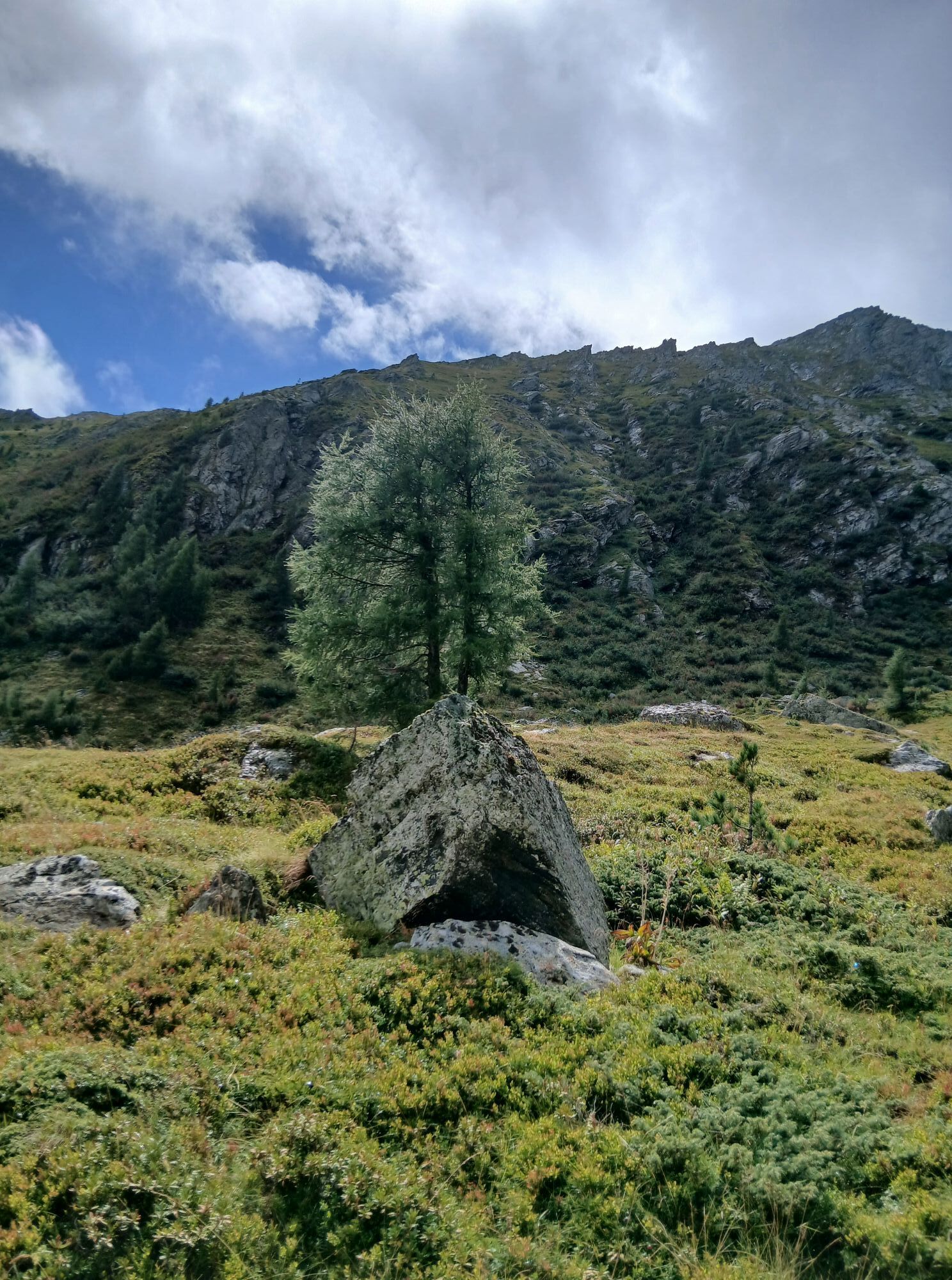
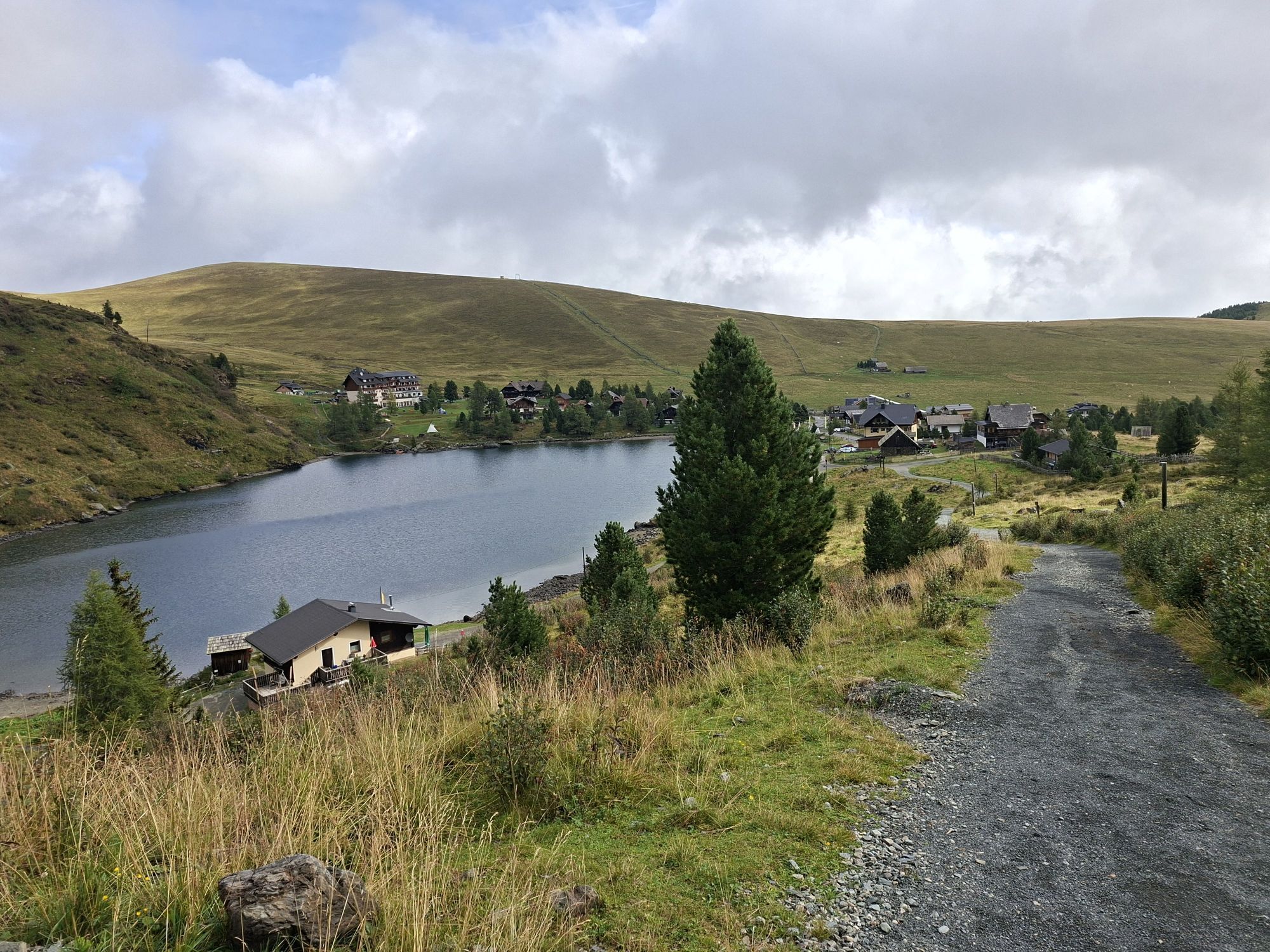
When I start from my accommodation, I first circle the Falkertsee on its north and then on its east side. From the southern end of the lake, I follow hiking trail No. 1591 through the beautiful Sonntagstal up to the Falkert Saddle. From here, I definitely decide to take a detour to the Falkert (2,308m) – one of the most famous peaks of the Nockberge – by following the southwest ridge. This additional ascent requires about 30 minutes more time – the last meters to the impressive summit cross are a bit steeper and require surefootedness.
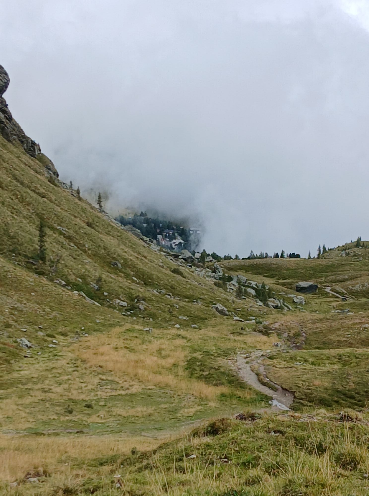
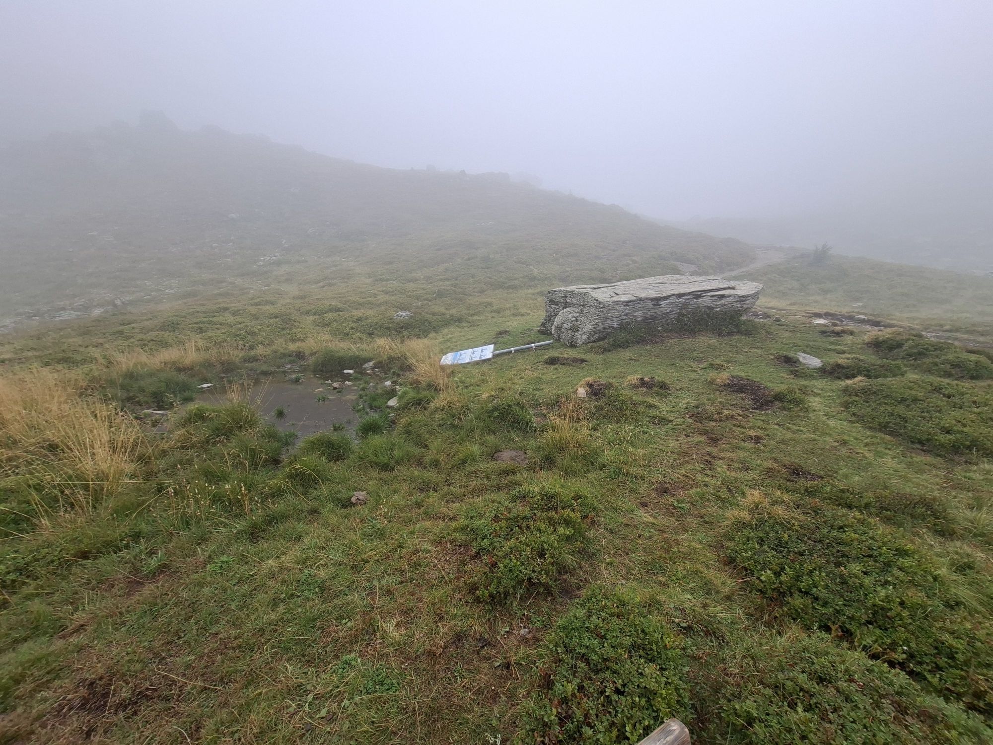
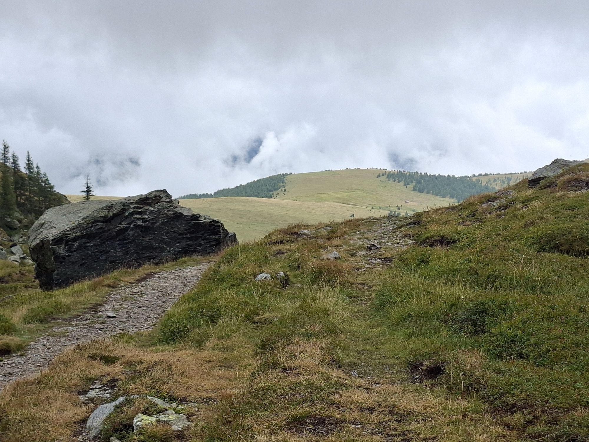
After returning to the Falkert Saddle, I choose path No. 1, which descends briefly westward and then leads below the Moschelitzen (Rödresnock) onto the elongated grassy ridge of the Totelitzen. I descend this ridge gently over its entire length, pass a shelter hut and finally reach a steeper section where the ridge drops towards Bad Kleinkirchheim (point 1,990m). Here, I choose the left path (No. 1), which leads steeply through open terrain and later through forest, crossing forestry roads several times, directly to a church in the eastern part of Bad Kleinkirchheim.
From the church, I walk down the asphalt road to the main street. A few meters to the left and then turn right again before the Römerbad thermal spa. Past the spa to the valley station of the Kaiserburg cable car and diagonally right over a parking lot to the start of the hiking trails "Talweg" and "Spaziermeile". I walk directly left past the Hubertushof guesthouse and at the next fork follow the right path (trail "Spaziermeile"). After a bridge, I reach houses that I bypass on the left via a small asphalt road along the creek. Now continue along the hiking trail of the "Spaziermeile" on the right side of the creek until it crosses to the other side of the creek via a small bridge. Continue always following the "Spaziermeile" – alternating over asphalt roads and walking paths – until I see the St. Kathrein thermal spa on the other side of the street. Here, or at the opposite tourist information, is my stage destination.
Ano
How challenging is hiking the Nockberge-Trail route?
Easy to medium. Technically, hiking the Nockberge Trail is not very difficult. There are no secured or exposed sections that require complete fearlessness of heights. Even if you often move at altitudes up to 2,350 m and take many peaks with you, there are no technical difficulties. A certain surefootedness – being able to move confidently and swiftly in terrain – is required.
Important prerequisites for a successful mountain tour, besides careful study of guidebooks and maps, are optimal equipment.
The basic equipment includes:
solid, well-fitting mountain or hiking boots with grippy soles water- and wind-resistant mountain clothing in layers, hiking poles sunglasses, sun protection mobile phone and hiking map a first aid kit as well as sufficient drinking and a snackProper behavior in the mountains
Careful route planning based on descriptions and hiking maps is essential for a successful mountain tour. Equally important is correctly assessing the mountain experience, fitness, surefootedness, fearlessness of heights, and resilience of all participants. Never leave the marked hiking trails and avoid shortcuts. Inform yourself about weather conditions before hiking and return to the valley in case of weather deterioration. The mountains are for everyone. Helping to preserve and keep them clean is the duty of every hiker. Carry waste down to the valley and protect the animal and plant life. Always keep dogs under control and on a short leash. If an attack by a grazing animal is foreseeable, immediately leash off the dog. Austrian farmers and farm women make an important contribution to preserving our alpine landscape. Visitors are asked to respect and adapt to this beautiful landscape. Treat the people working here, nature, and animals with respect.Here are the most important emergency numbers in case of an accident in Austria:
140 Alpine emergency call
144 Rescue emergency call
112 European emergency call (possible from all networks). Turn off the mobile phone and, after turning it back on, dial "112" instead of the PIN.
From the north:
Munich-Salzburg motorway, A10/Tauern motorway to the St. Michael im Lungau exit. On B96 via Tamsweg to Predlitz and turn right to Turracher Höhe. Down into the valley and continue to Falkertsee.
From the east:
Vienna, A2/South motorway - Graz - Klagenfurt - Feldkirchen - Ebene Reichenau - Falkertsee or Vienna, A1/West motorway to Salzburg and then as the approach from the north
From the south:
Udine (IT) - motorway - Tarvisio - Villach - Feldkirchen - Ebene Reichenau - Falkertsee or Ljubljana (SI) - Jesenice - Karawanken Tunnel - Villach - Feldkirchen - Ebene Reichenau - Falkertsee
Depending on the season and weekday, various public transport options are available. For current information, please visit the following websites:
Convenient and direct from the train station to your accommodation with the Carinthia Station Shuttle:
Nockmobil
As a feeder to public transport, the Nockmobil offers a green alternative to cars as an on-demand call taxi and allows flexible travel from stop to stop. Use the Nockmobil to get to and from the starting point of our hike (from stop number xx).
For booking a Nockmobil ride, it is recommended to call about one hour in advance (the day before in summer). Our ride can be booked via the app.
Public parking is available at Falkertsee.
More information about the hiking area of the region is available at:
Region Millstätter See - Bad Kleinkirchheim - Nockberge
+43 (0) 4246-37444
info@mbn-tourismus.at
The UNESCO Biosphere Park Nockberge
Majestic, powerful, and unique – the UNESCO Biosphere Park Carinthian Nockberge is an alpine jewel with unique natural treasures, a diverse cultural landscape, and rare animal and plant species. For centuries, people have lived here in harmony with nature. Gently rolling with peaks over 2400 meters and picturesque alpine meadows – the Biosphere Park Carinthian Nockberge is a rare natural idyll in the midst of the Austrian Alps and covers an area of about 500 square kilometers.
In 2012, it was designated a biosphere park by UNESCO. The park is based on the three pillars of sustainability: ecological balance, economic security, and social justice. Here, life is lived in harmony with nature and the rare animal and plant world is respectfully regarded and appreciated.
Regional products, processed according to old traditions, testify to careful work based on handed-down recipes. Trained biosphere park rangers promise unforgettable tours for families, and in several educational programs, this knowledge is also passed on to students. No matter the time of year, a visit always offers a treasure chest of experiences.
More information about the UNESCO Biosphere Park Carinthian Nockberge is available at: www.biosphärenparknockberge.at
Sonntagstal
Detour to Falkert
Totelitzen ridge
Thermal spas in Bad Kleinkirchheim
Webové kamery z prohlídky

Oblíbené prohlídky v okolí
-
4.6
Turracher 3 Seen Weg - Weg der Sinne zwischen Berg & See
světloTematická stezka 7.15 km -
4.9
Schönfeld: Großer Königstuhl
středníTuristika 11.2 km -
4.8
Schoberriegel - Schönebennock -
světloTuristika 9.88 km -
5.0
Amberg: Palnock 1901m, Schwarzsee, Rundstrecke
středníTuristika 7.94 km -
4.8
Enzian-Granatsteig & Almbrunn Steig
světloTuristika 8 km -
4.9
Nockbergrundwanderweg
středníTuristika 6.62 km -
4.8
Gr. Königsstuhl, Nockalm, Kärnten
středníHorská turistika 7.15 km -
4.8
Lammersdorfer Hütte, Granattor Runde
světloTuristika 9.85 km -
4.7
Falkertsee - Sonntagstal - Falkert
středníTuristika 4.84 km -
4.7
Große Rosennock Runde
Turistika 9.80 km
Pěší turistika a stopování


Nenechte si ujít nabídky a inspiraci pro vaši příští dovolenou
Vaše e-mailová adresa byl přidán do poštovního seznamu.





