







"Rasland" - circular route
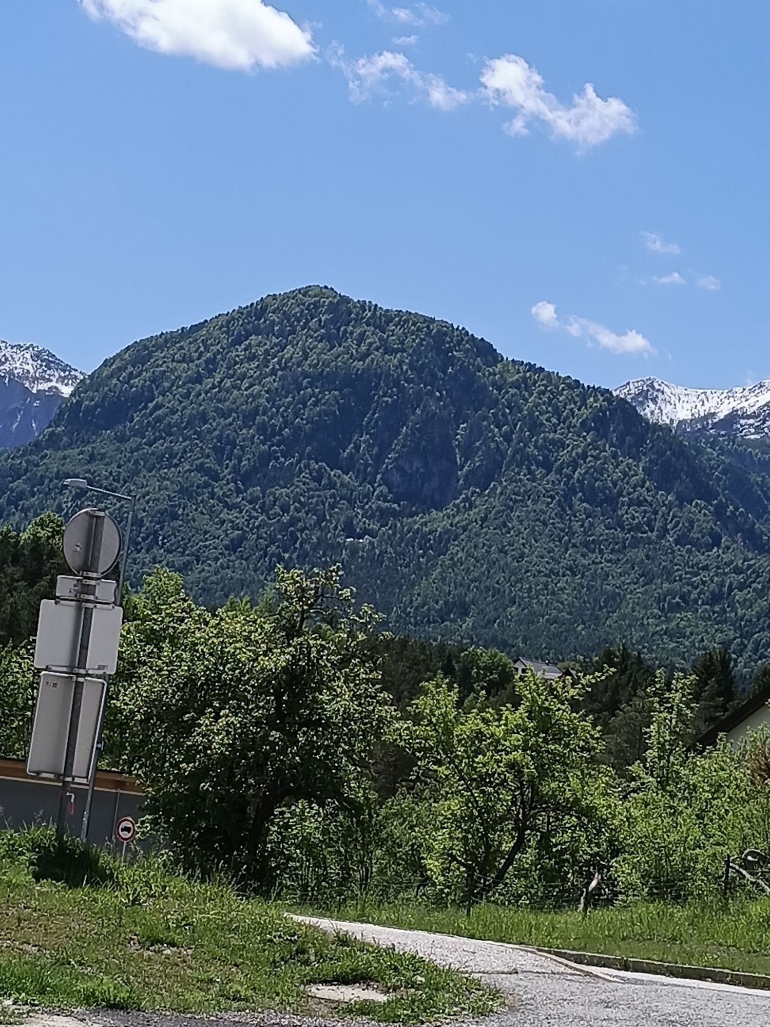
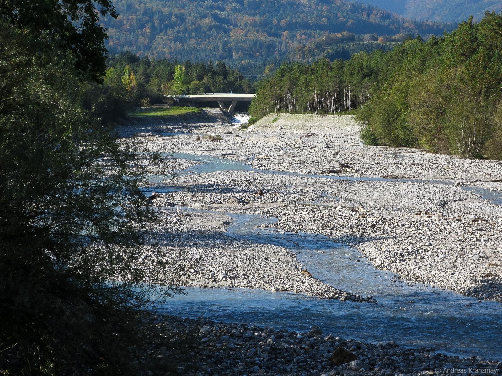
The landscape arc stretches from an impressive river landscape, fertile farmland to hidden alpine pastures. In the Middle Ages, these terraces were called "Rasen". This explains the names of the local...
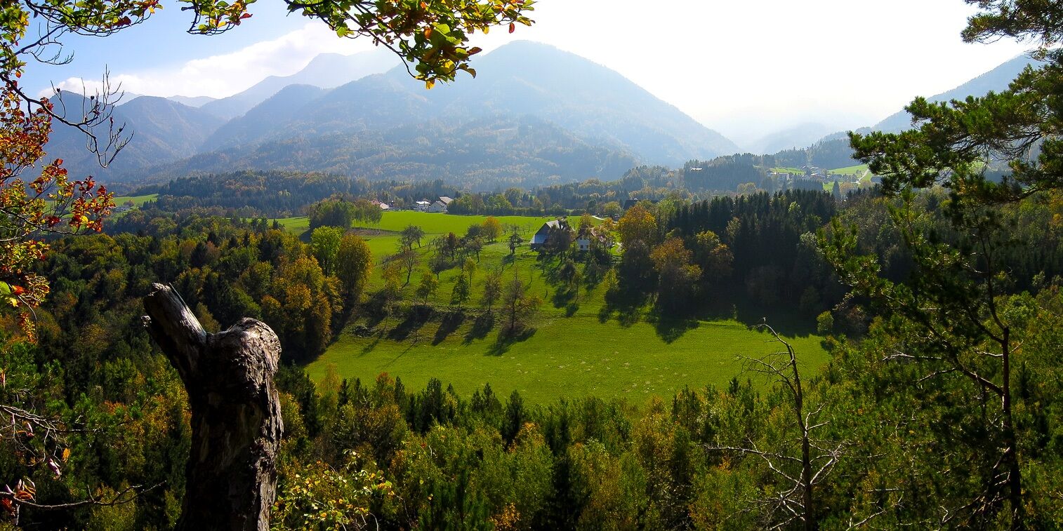
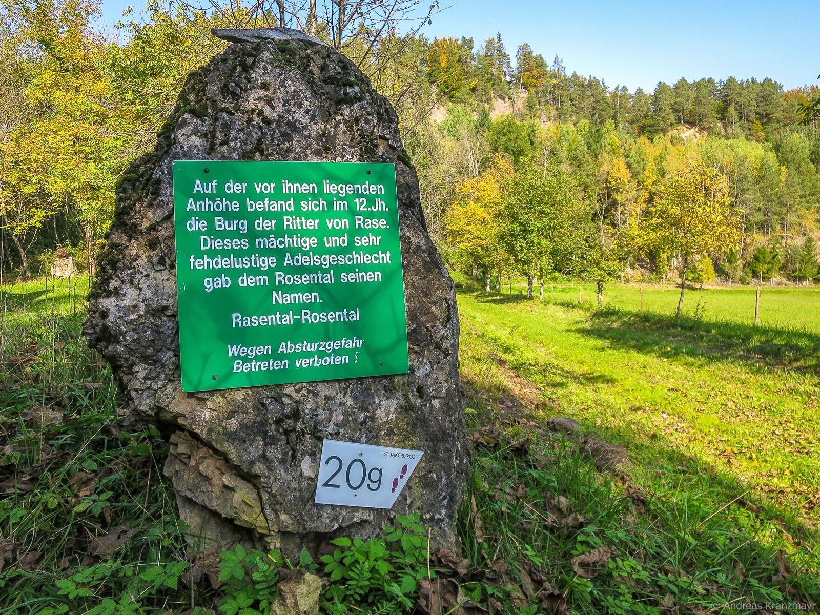
The landscape arc stretches from an impressive river landscape, fertile farmland to hidden alpine pastures. In the Middle Ages, these terraces were called "Rasen". This explains the names of the local Rasburg castles and also gives the name for the "Rasland - circular route".
Starting from Tallach, you hike over the "Rosenbacher Schweiz" to Schlatten, past one of the ruins of Rasburg and down to St. Jakob. At the Rosenbach, the path leads upstream along the east side back to the starting point in Tallach.

On the L56 to the Lindenhof inn
Arrival by bus to Maria Elend possible
Parking spaces available at the inn
 Získejte přehled Vždy živě na místě s více než 9 500 webkamerami. bergfex Jako uživatel Pro si nyní můžete zobrazit odpovídající webové kamery pro mnoho prohlídek v aplikaci prohlídky z. Můžete si tak přímo prohlédnout aktuální podmínky.
 Oblíbené prohlídky v okolí
- 4.4
Mittagskogel - Rundwanderung
heavyTuristika 14.5 km - 4.2
MTB-Tour zur Klagenfurter Hütte
středníMountainbike 12.6 km - 4.6
Pyramidenkogel path Maria Wörth
středníTuristika 10.8 km - 4.5
Hoher Gallin route
středníTuristika 7.09 km - 4.5
Lake circular trail
světloNordic Walking 9.85 km - 4.4
From Bärental to the Kosiak (Klagenfurter Hut)
středníTuristika 9.67 km - 4.8
Schwarzkogel-Runde über Jepzasattel Schwarzkogel, Mallestiger Mittagskogel
středníTuristika 13.4 km - 4.5
Mallestiger Mittagskogel
středníTuristika 8.17 km - 4.6
Sinacher Gupf crossing
středníTuristika 8.32 km - 4.7
Rotschitza Klamm Klettersteig B/C
středníVia ferrata 3.73 km
Pěší turistika a stopování


Nenechte si ujít nabídky a inspiraci pro vaši příští dovolenou
Vaše e-mailová adresa byl přidán do poštovního seznamu.





