







Panoramic route - Krobathen
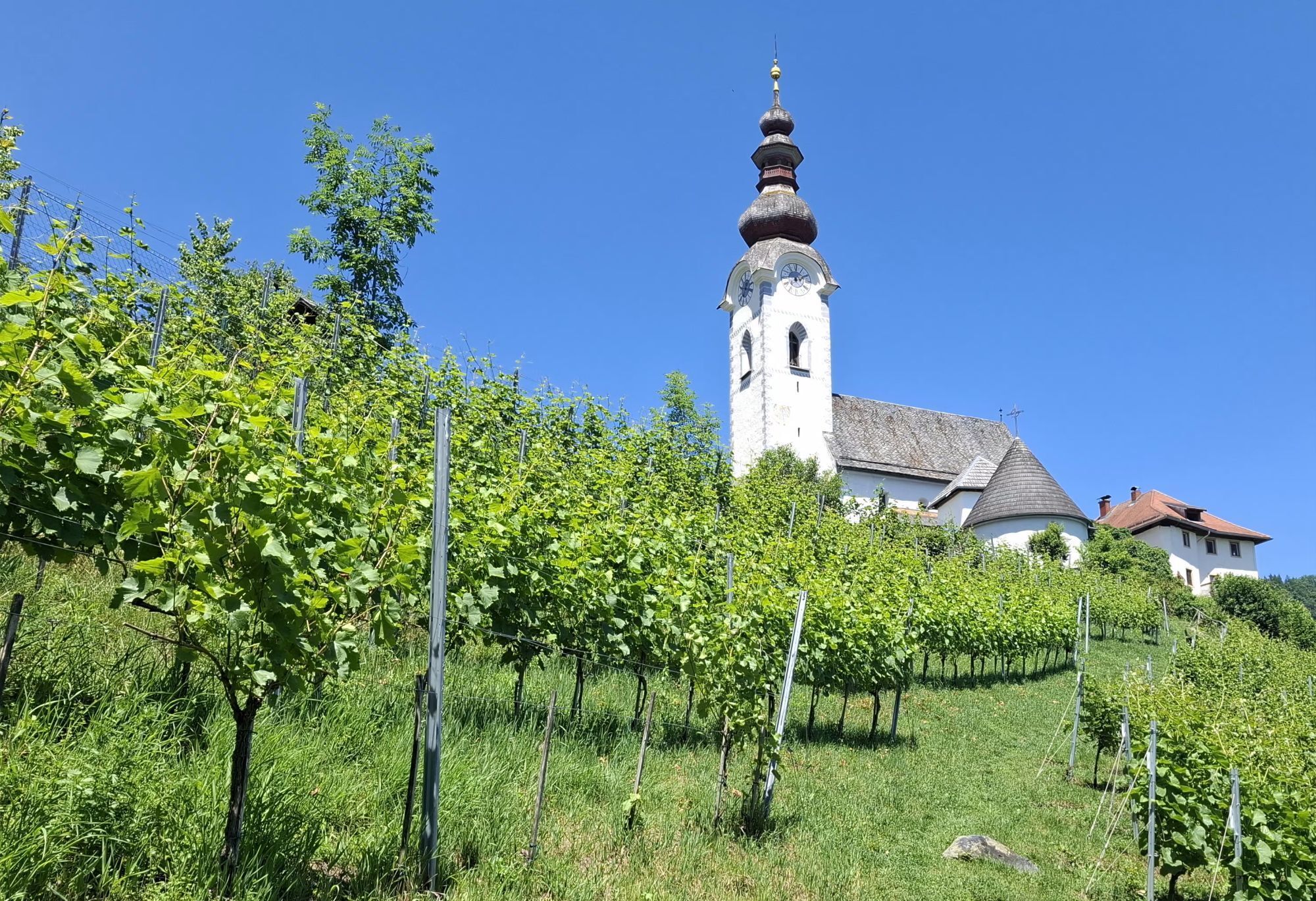
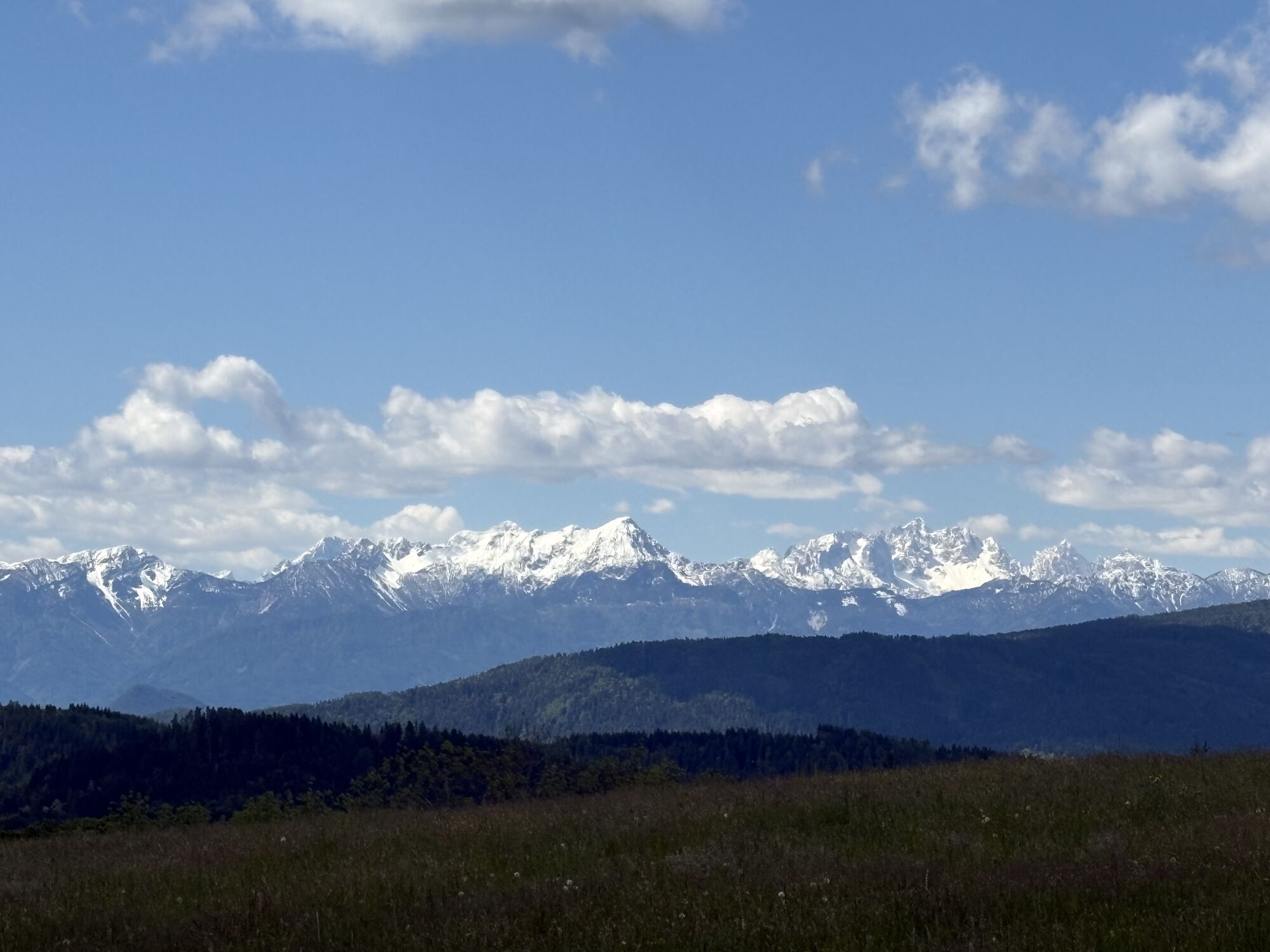
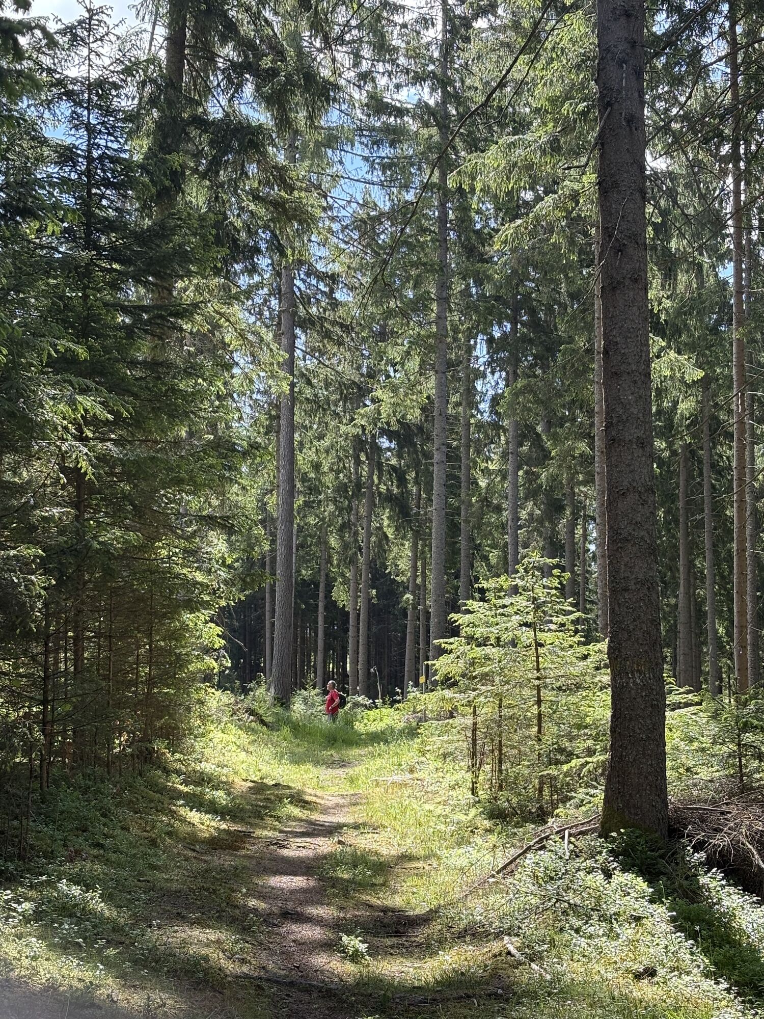
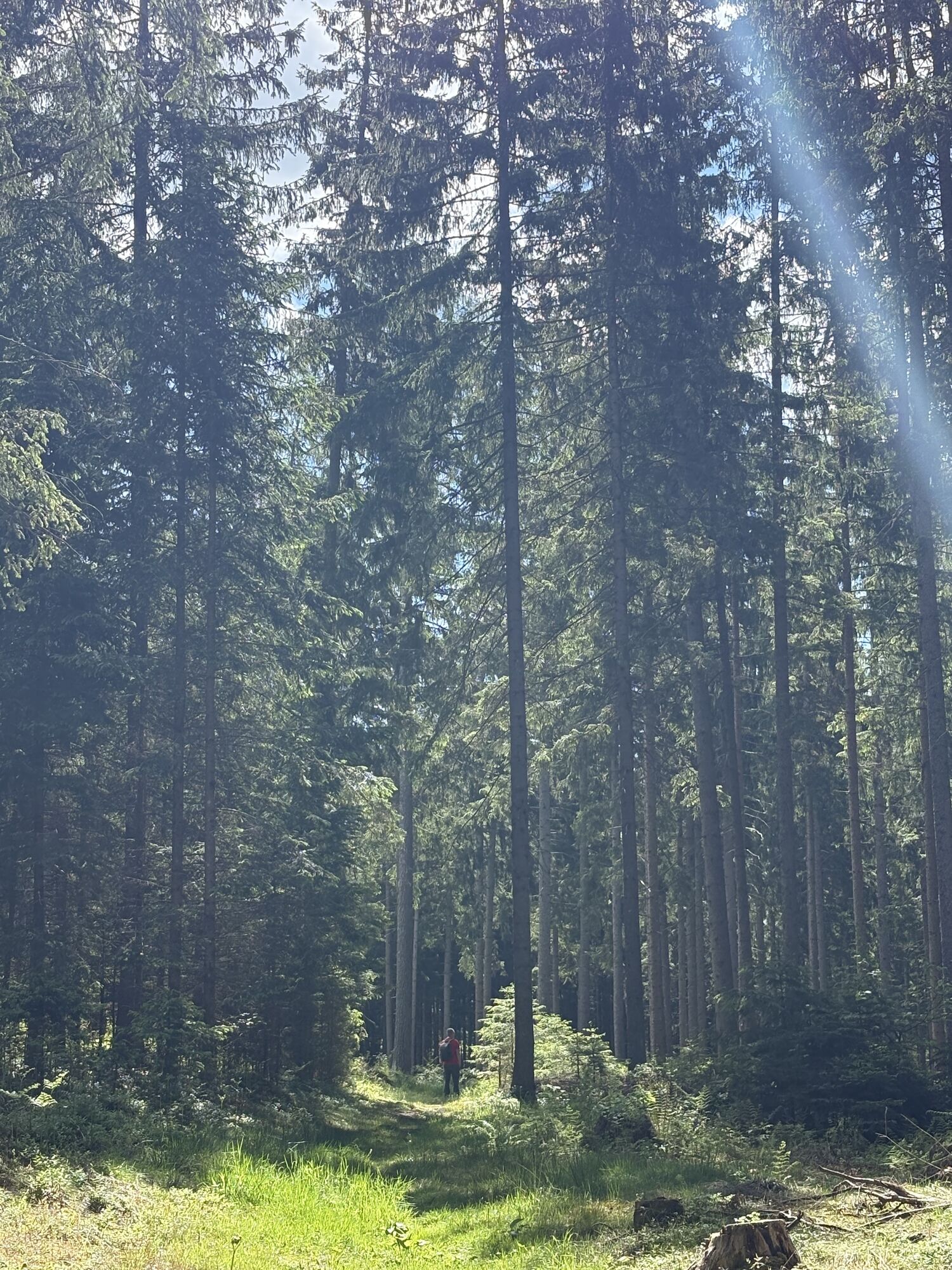
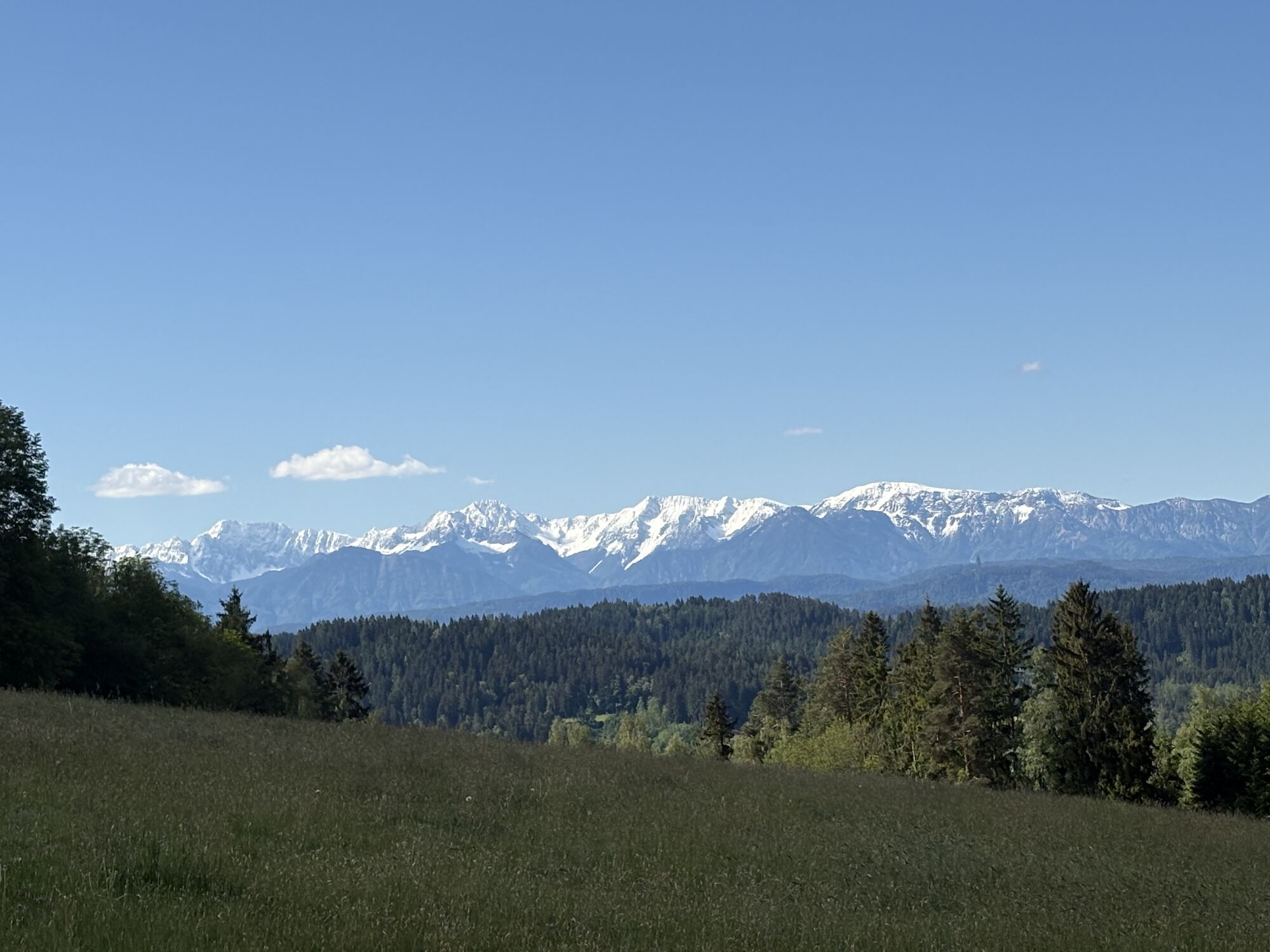
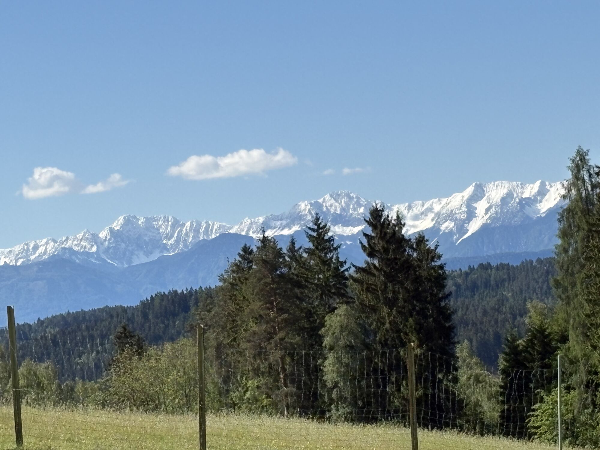
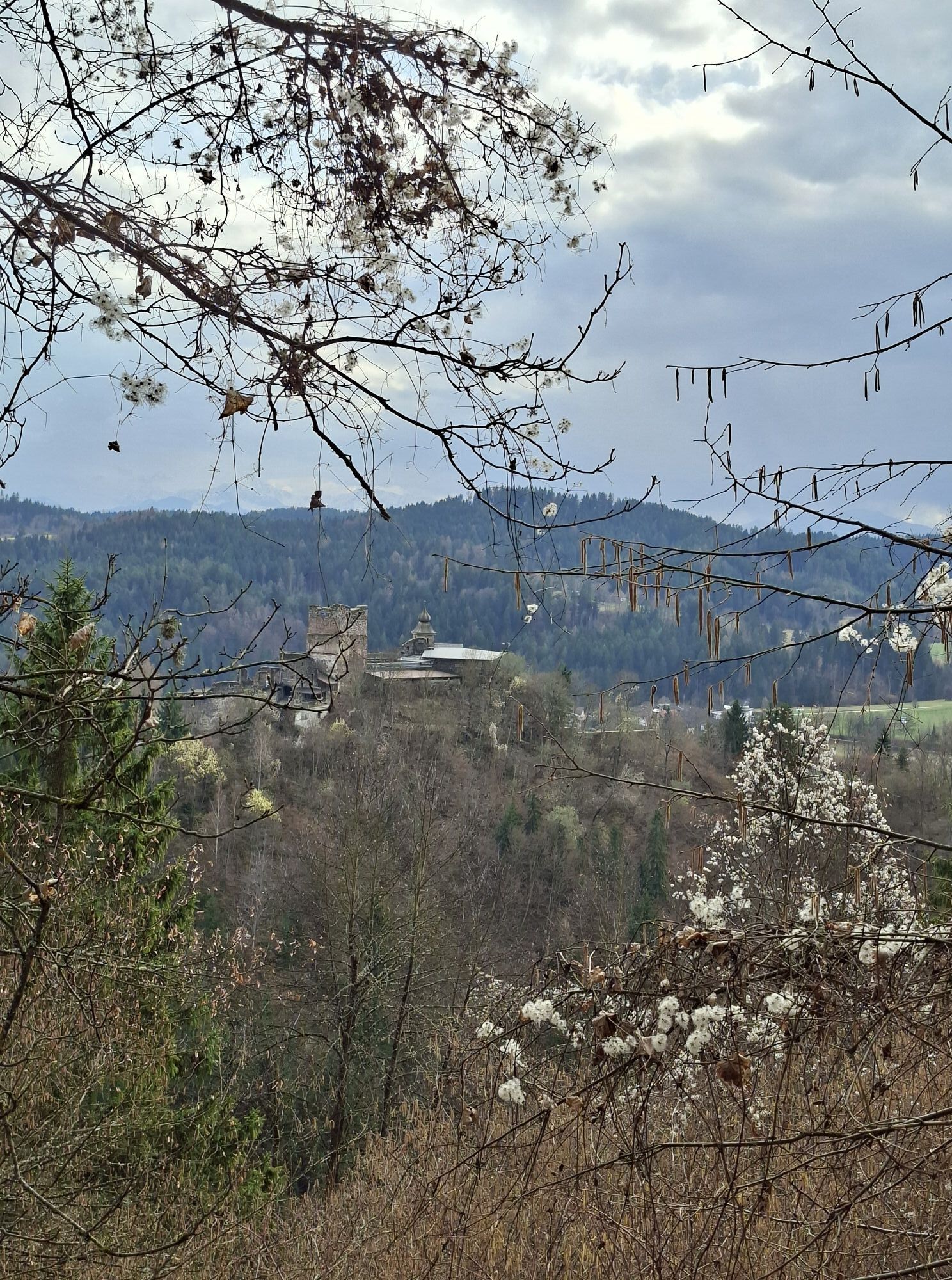
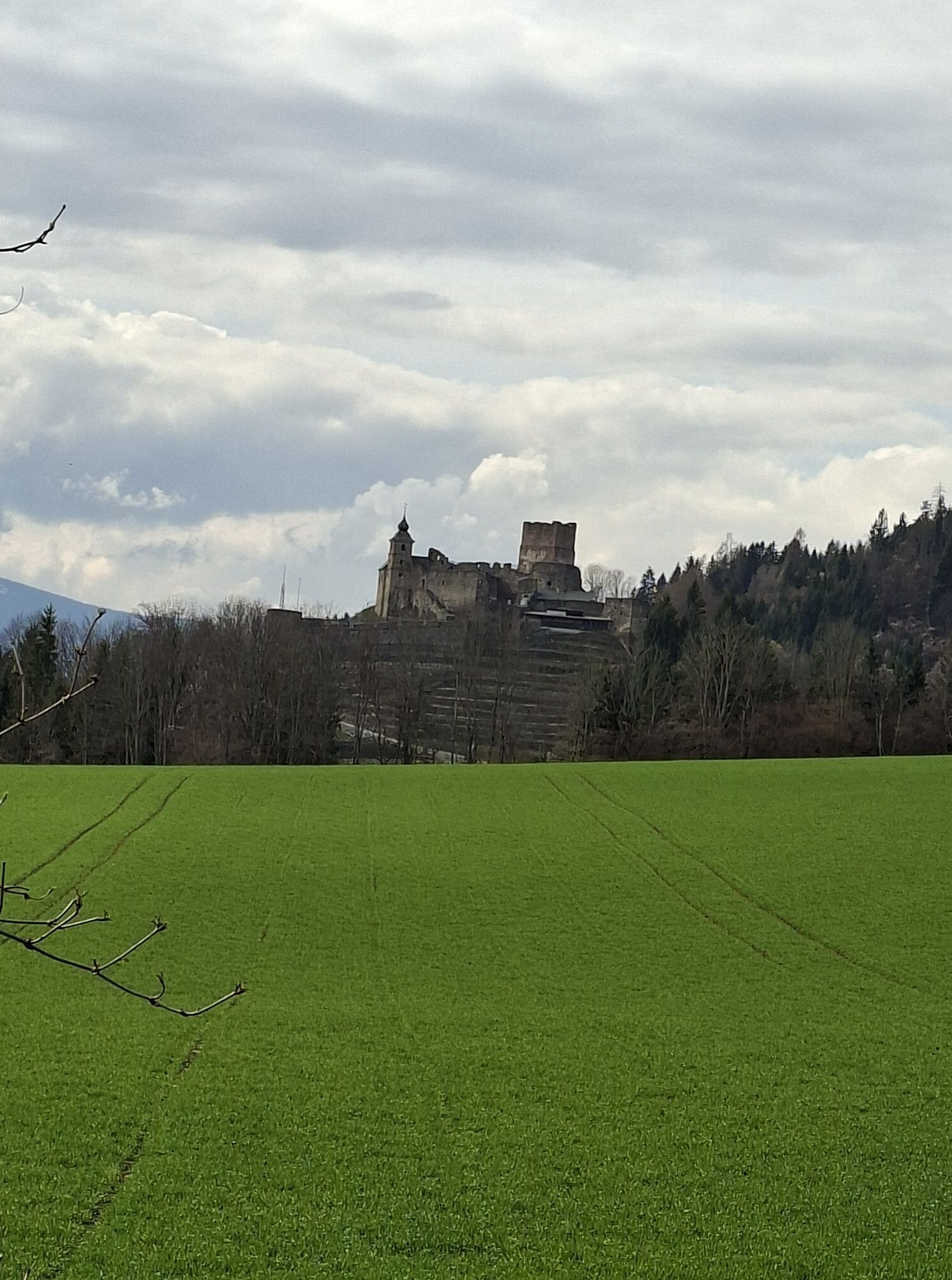
The panoramic route in Krobathen, central Carinthia, is a delightful hike through a diverse landscape. The route starts in the charming village of Krobathen and leads along gentle hills, through forests,...
The panoramic route in Krobathen, central Carinthia, is a delightful hike through a diverse landscape. The route starts in the charming village of Krobathen and leads along gentle hills, through forests, and over open fields. Hikers can look forward to spectacular panoramic views of the surrounding valleys and mountains. The route is well marked and suitable for hikers of all experience levels. Along the way, idyllic spots invite you to rest and enjoy nature. The panoramic route is especially recommended for those who want to experience the tranquility and beauty of the Carinthian landscape without missing out on appealing views.

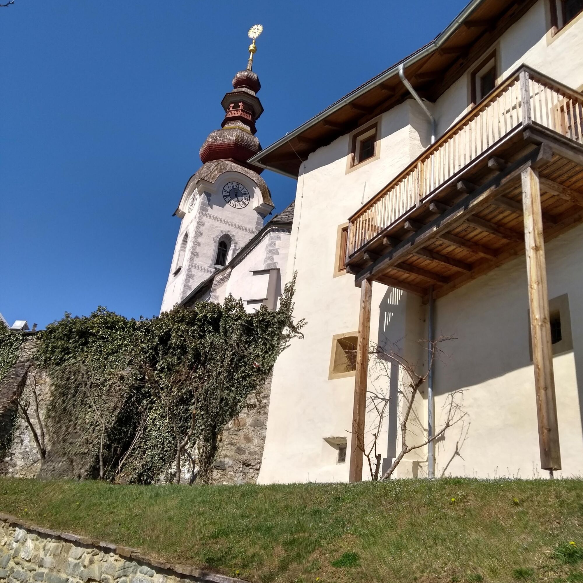
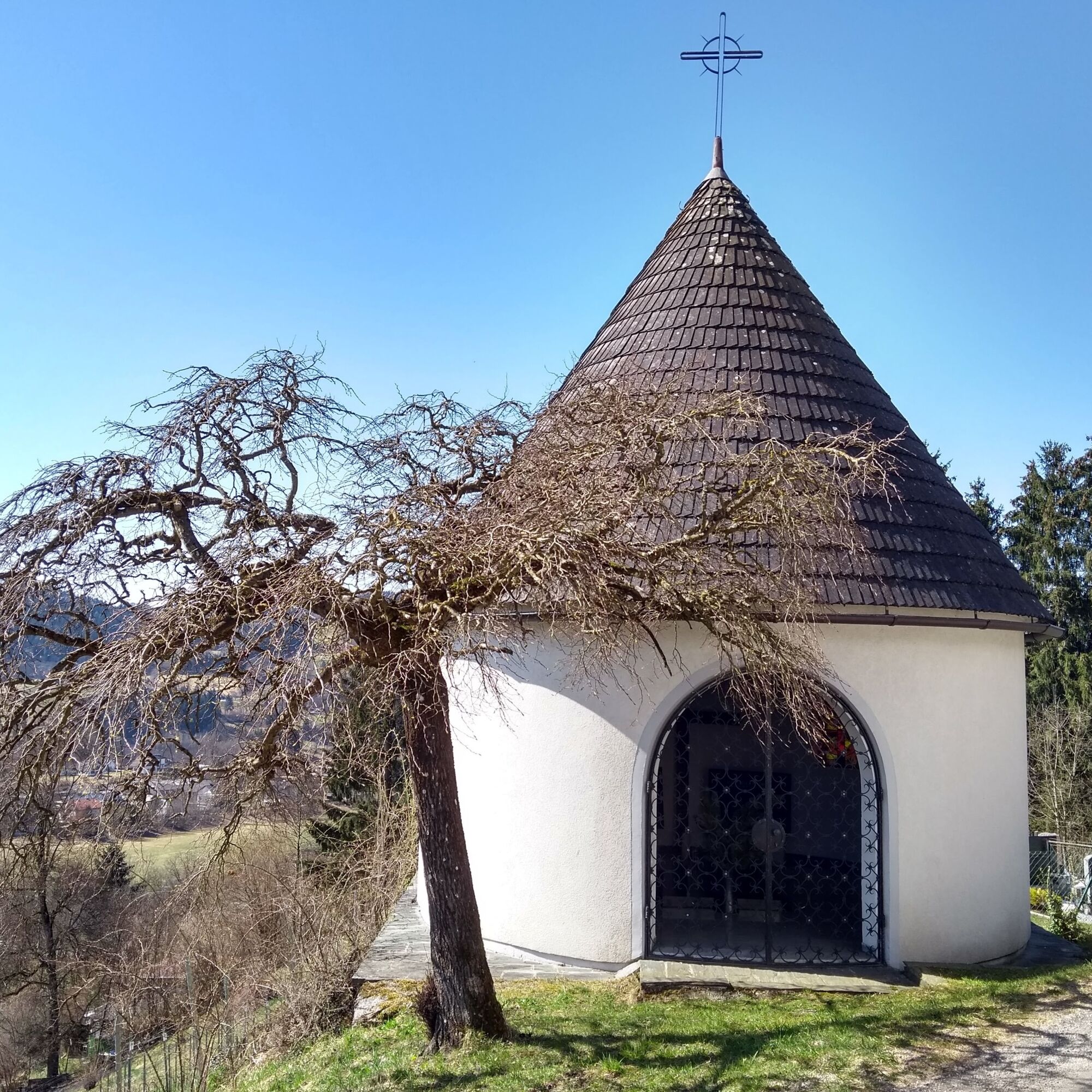
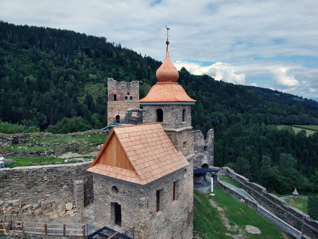
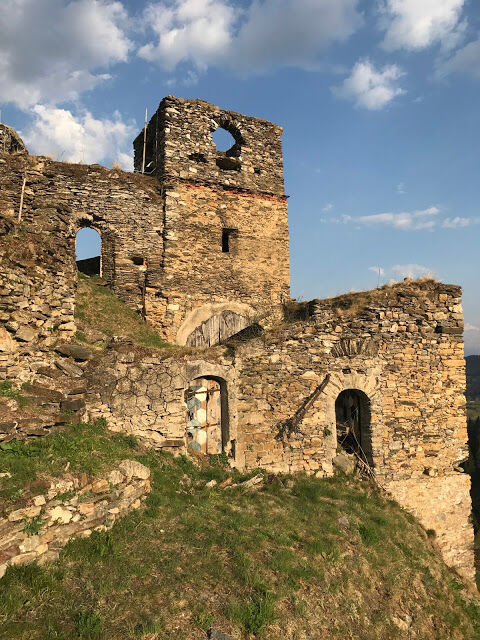
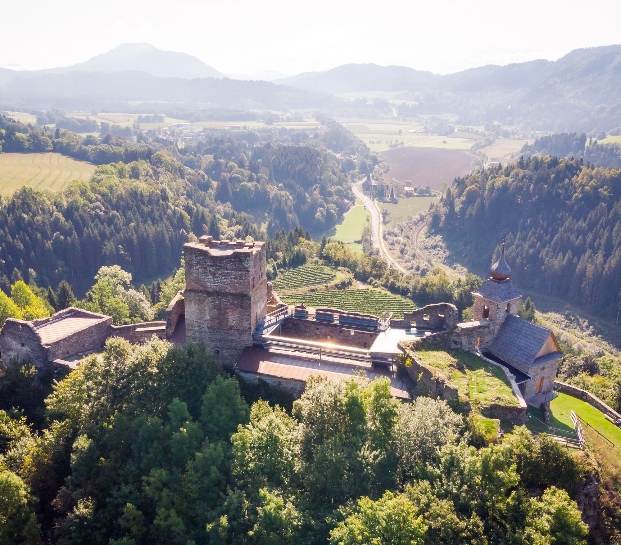
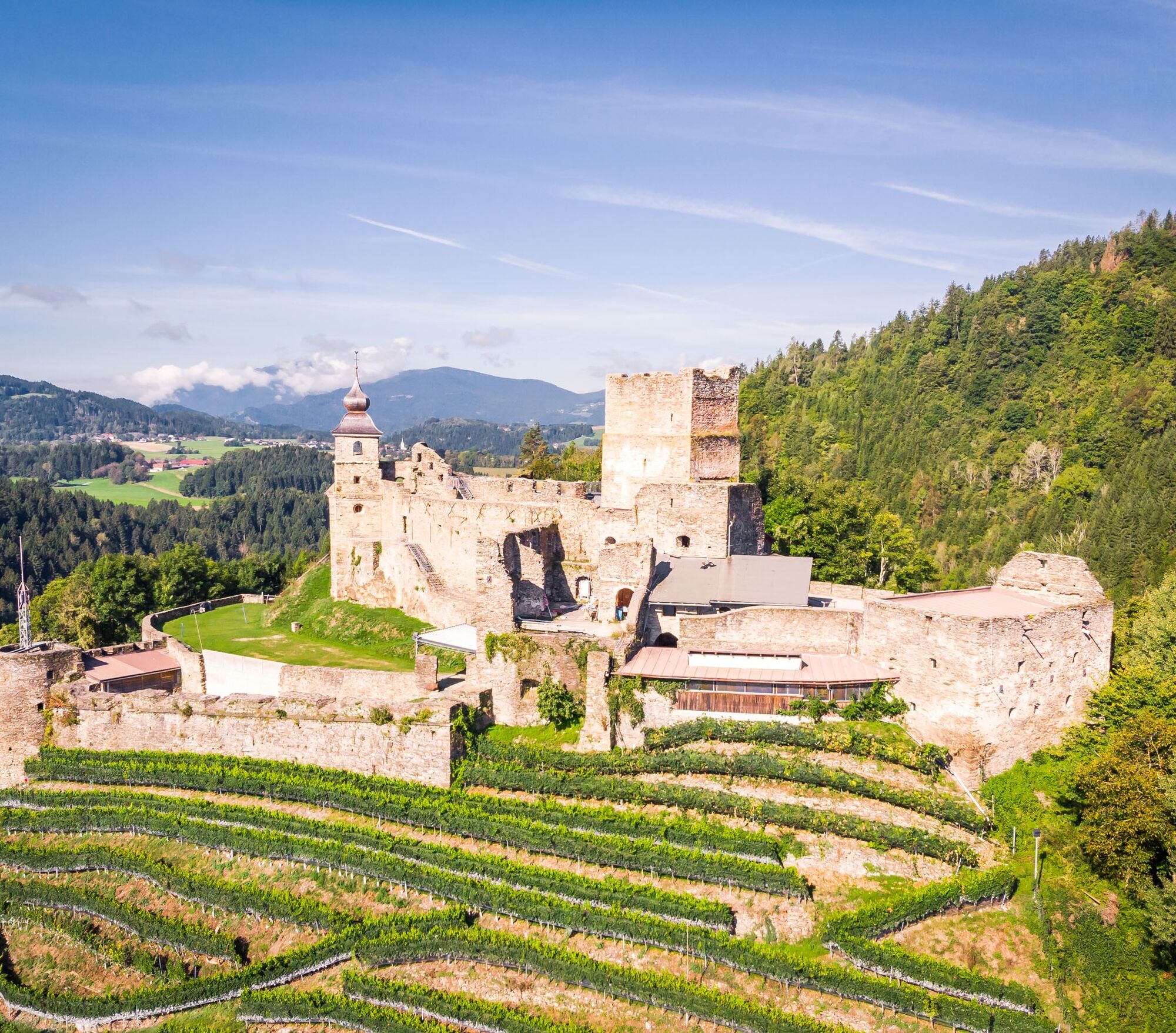
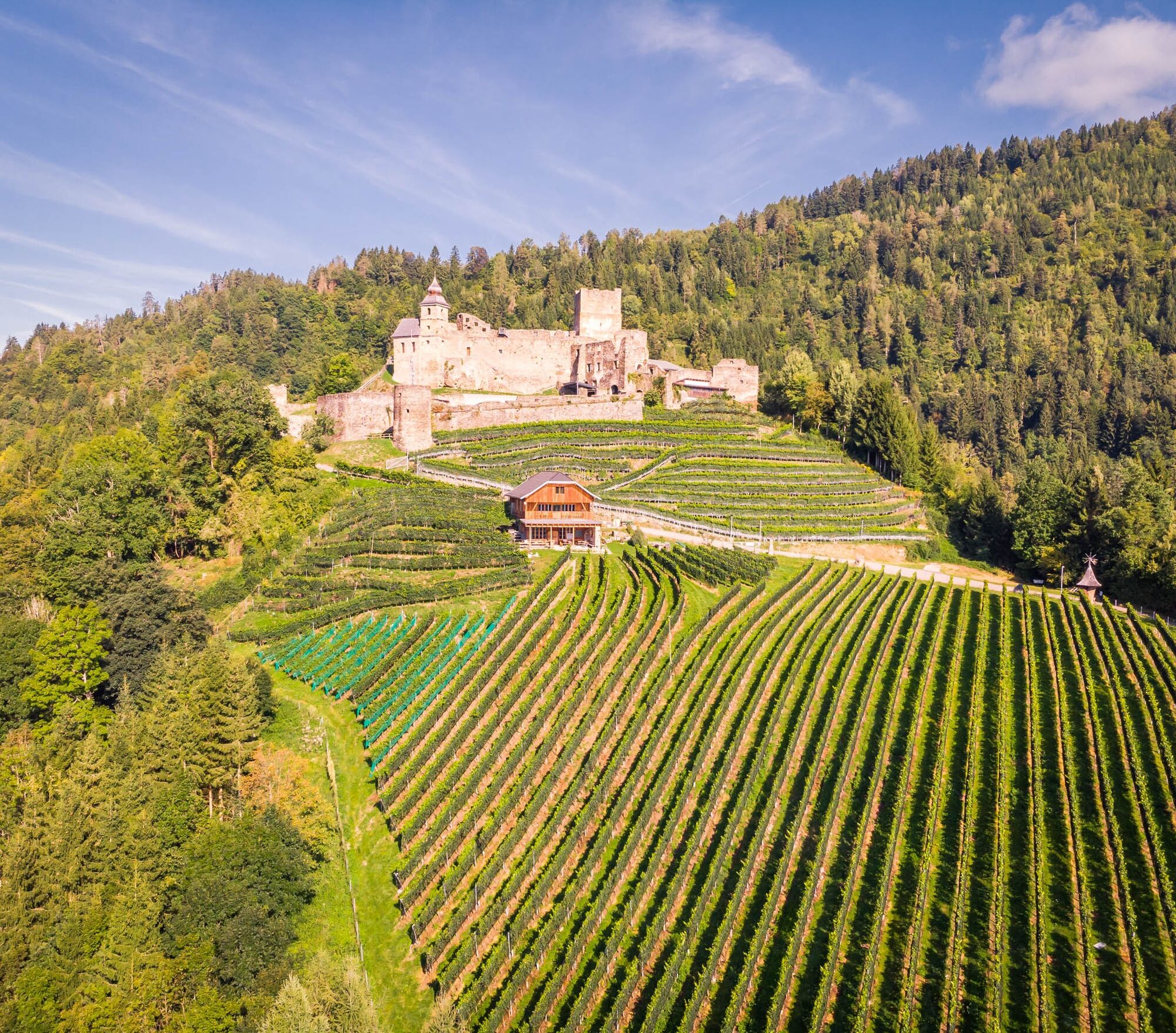
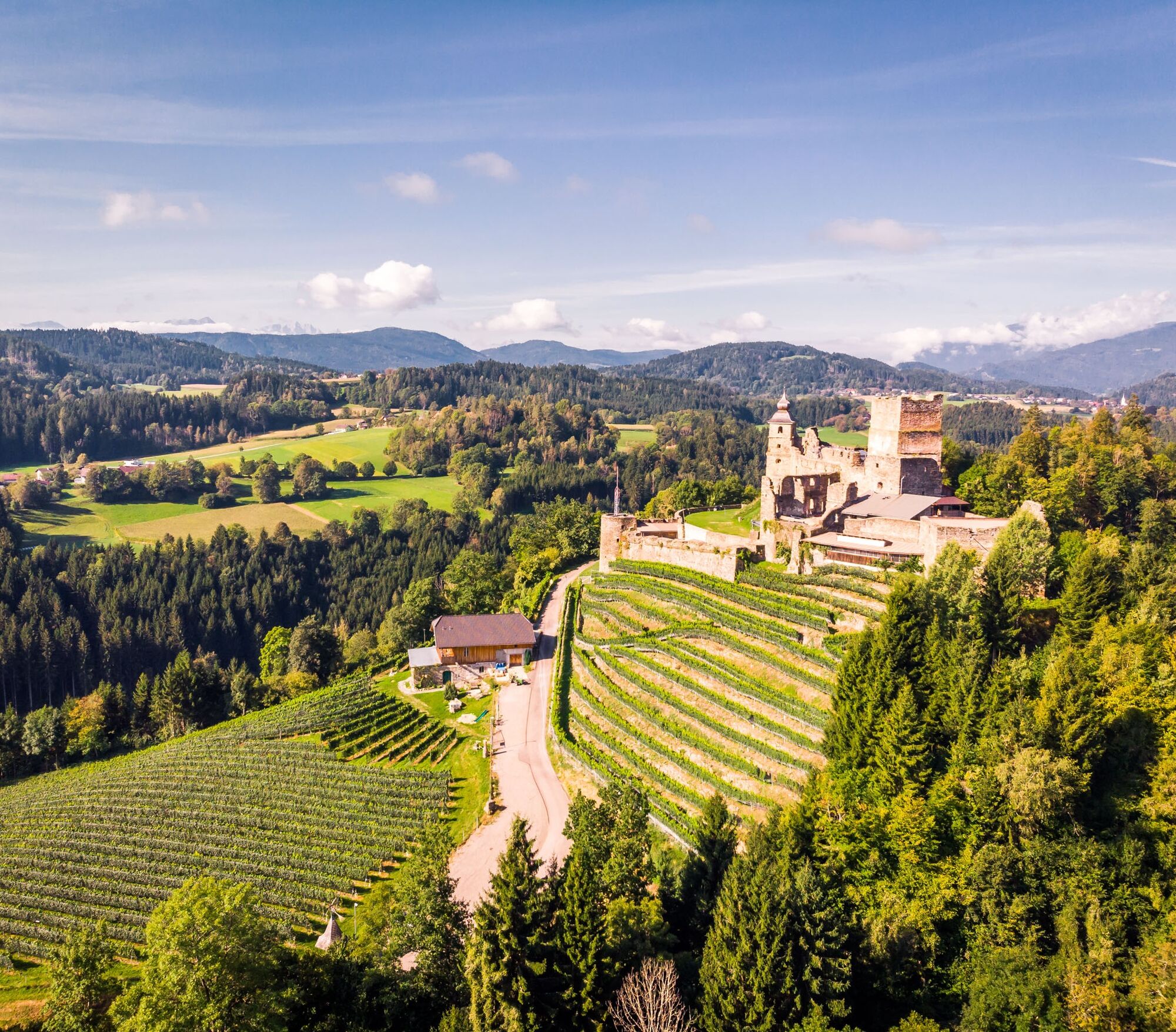
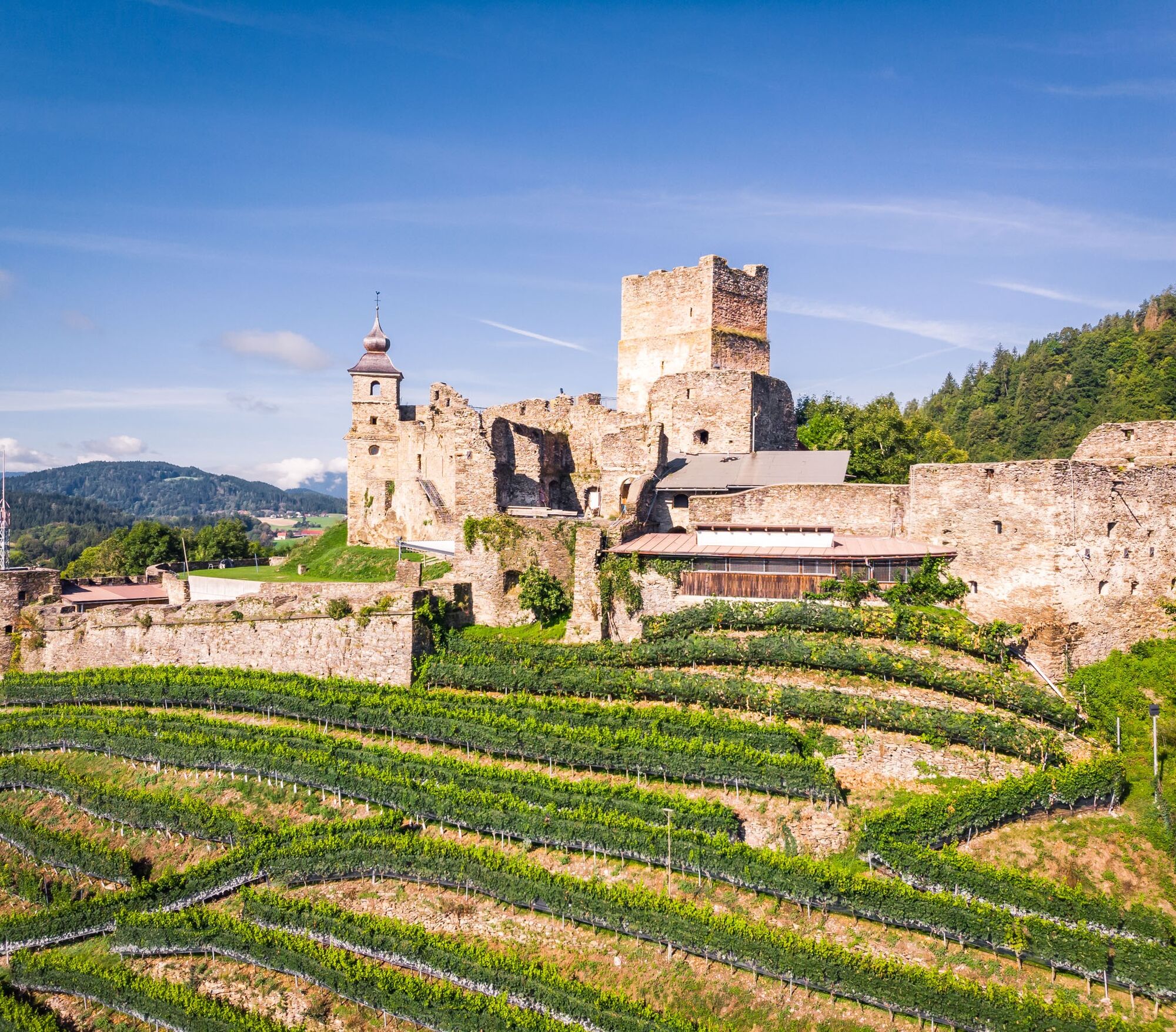
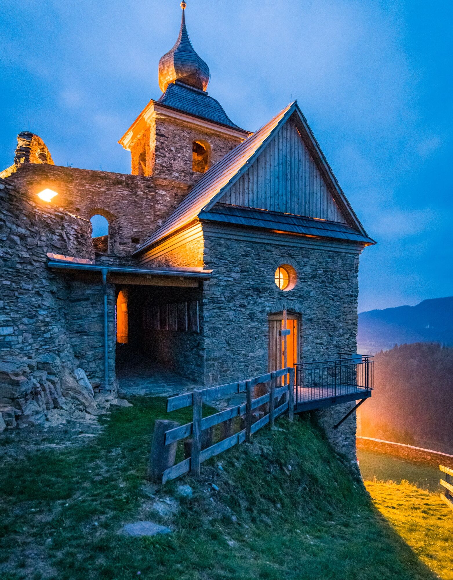
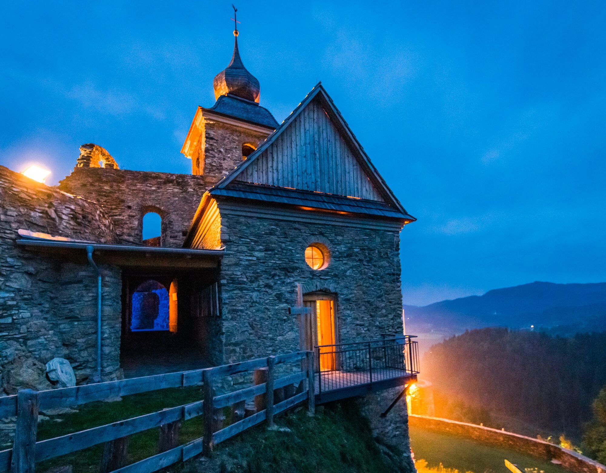
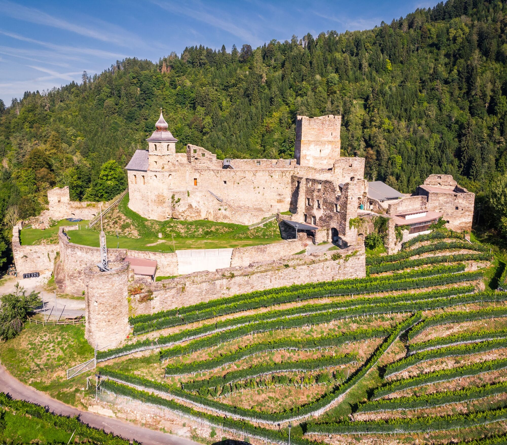

The panoramic route in Krobathen starts in the picturesque village of Krobathen in central Carinthia and leads through varied landscapes over a distance of about 10 km. The route begins with a gentle ascent through green meadows and already offers beautiful views of the surrounding hills and forests at the start. After about an hour, you reach a higher point from which there is a spectacular panoramic view over the surrounding valleys and mountains.
The path continues through forest areas where you can enjoy nature in its tranquility. In spring and summer, the trails are lined with blooming wildflowers, while in autumn, the colorful leaves of the trees border the path. There are several viewpoints along the way, ideal for a short break or a picnic.
The route is well marked and manageable even for less experienced hikers. The return path to Krobathen follows a similar route but offers different perspectives of the surroundings. The total duration of the hike is about 3 to 4 hours, depending on pace and breaks.
The panoramic route in Krobathen is especially recommended for nature lovers and hikers who want to experience the beauty of the Carinthian landscape in a quiet and varied environment.
Ano
sturdy footwear, suitable clothing, water bottle
inform someone about where you are going and when you will be back
use your route planner
see Oebb route planner:
https://fahrplan.oebb.at/webapp/#!P|TP!H|809889
parking available
available at the information office
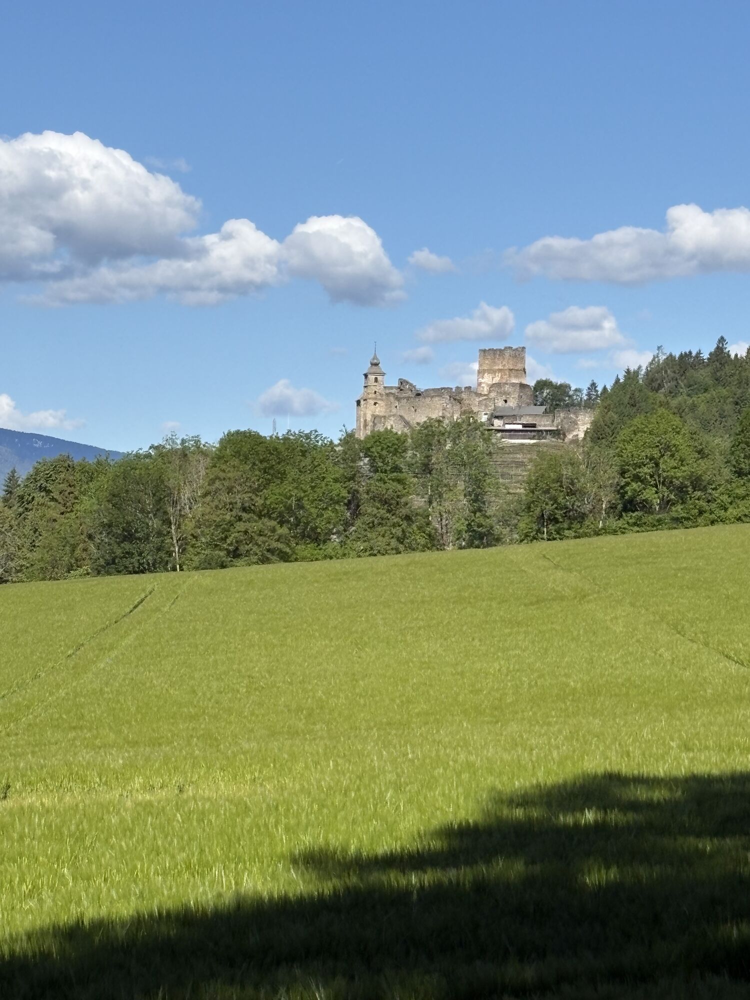
Glanegg Castle
 Získejte přehled Vždy živě na místě s více než 9 500 webkamerami. bergfex Jako uživatel Pro si nyní můžete zobrazit odpovídající webové kamery pro mnoho prohlídek v aplikaci prohlídky z. Můžete si tak přímo prohlédnout aktuální podmínky.
Oblíbené prohlídky v okolí
- 5.0
Wörthersee EXTREM
heavyTuristika 60.1 km - 4.6
Pyramidenkogel path Maria Wörth
středníTuristika 10.8 km - 4.5
Hoher Gallin route
středníTuristika 7.09 km - 4.4
Lake Wörthersee Circular Route
středníJízda na kole 41.2 km - 4.7
Zillhöhe
středníBěh 7.94 km - 4.7
Abenteuer-Wasser-Weg
středníTuristika 9.13 km - 4.7
Vierbergelauf
středníPoutní stezka 47.6 km - 4.1
Slow Trail Bleistätter Moor (Variant A)
světloTuristika 7.22 km - 4.5
Pyramidenkogelweg Schiefling
středníTuristika 8.41 km - 4.5
Ulrichsberg
světloTuristika 5.60 km
Pěší turistika a stopování


Nenechte si ujít nabídky a inspiraci pro vaši příští dovolenou
Vaše e-mailová adresa byl přidán do poštovního seznamu.





