







7-church route

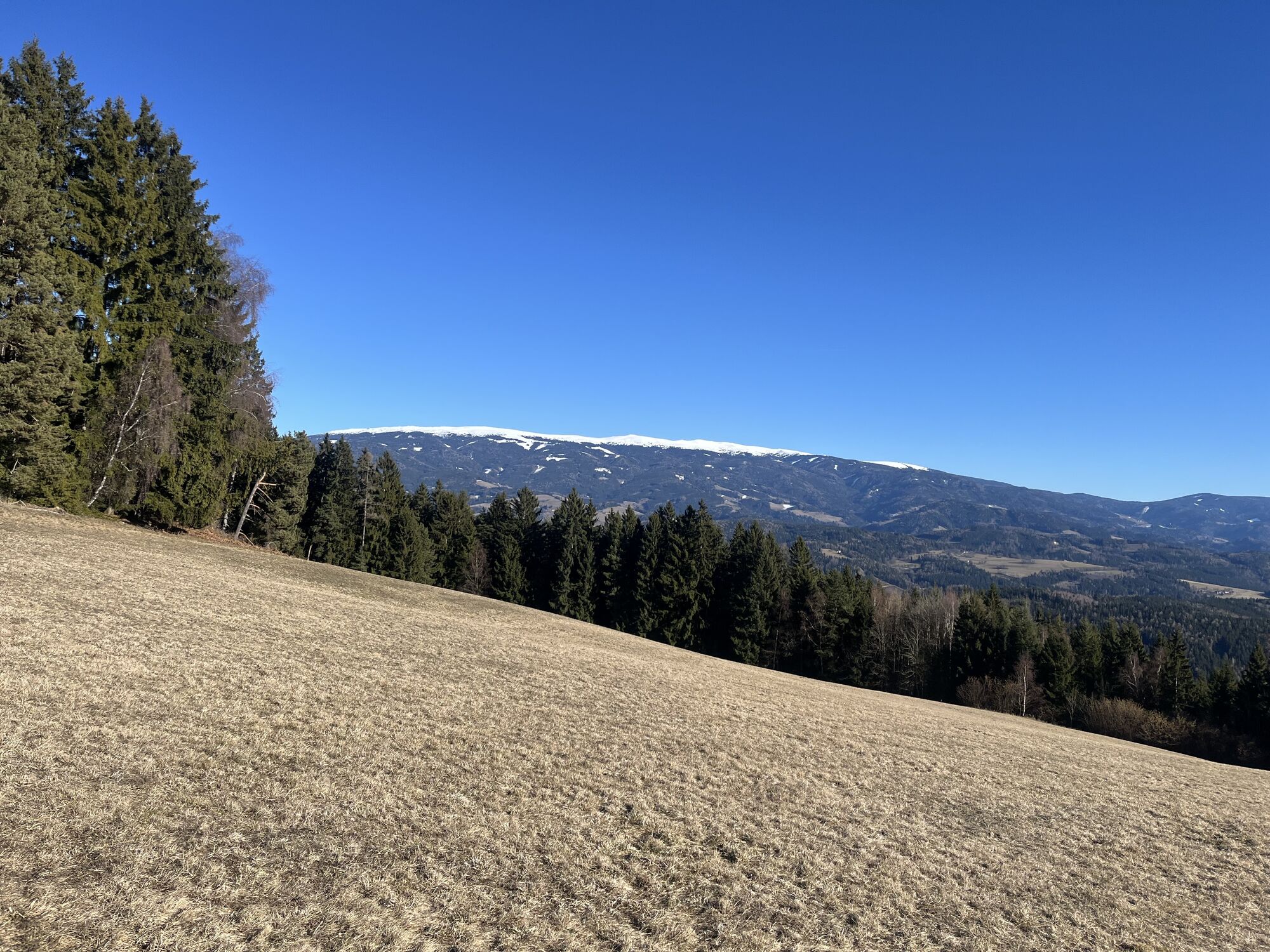
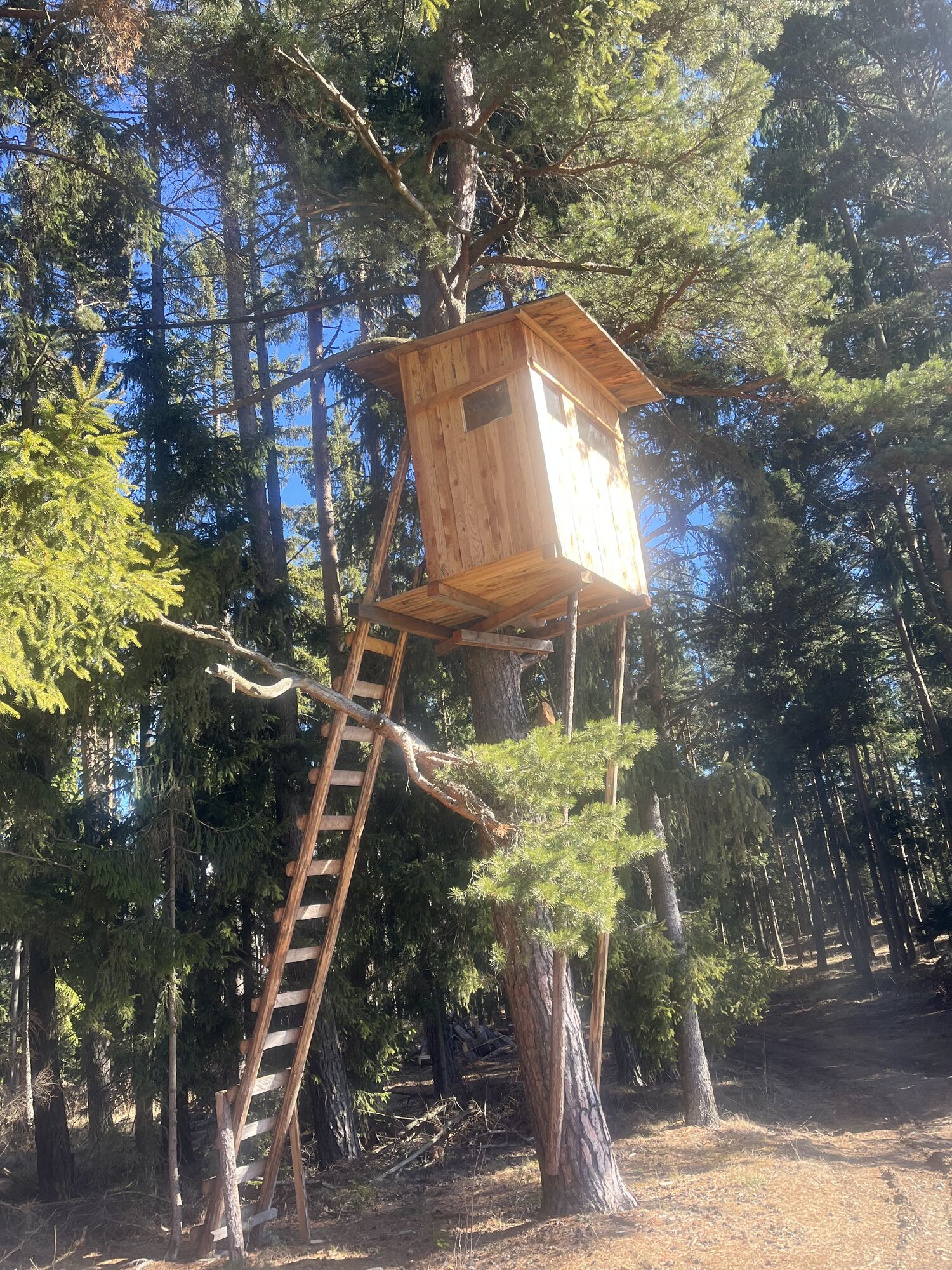
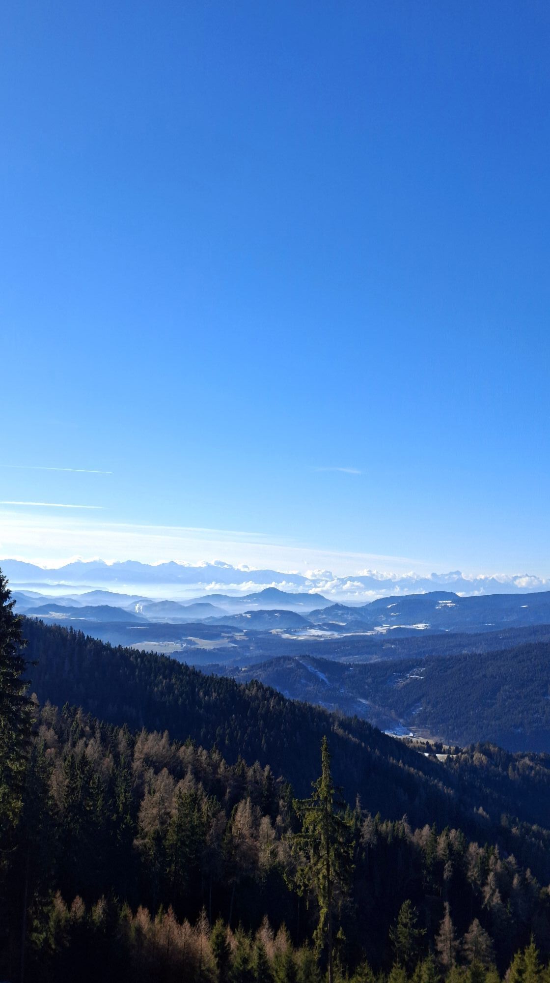
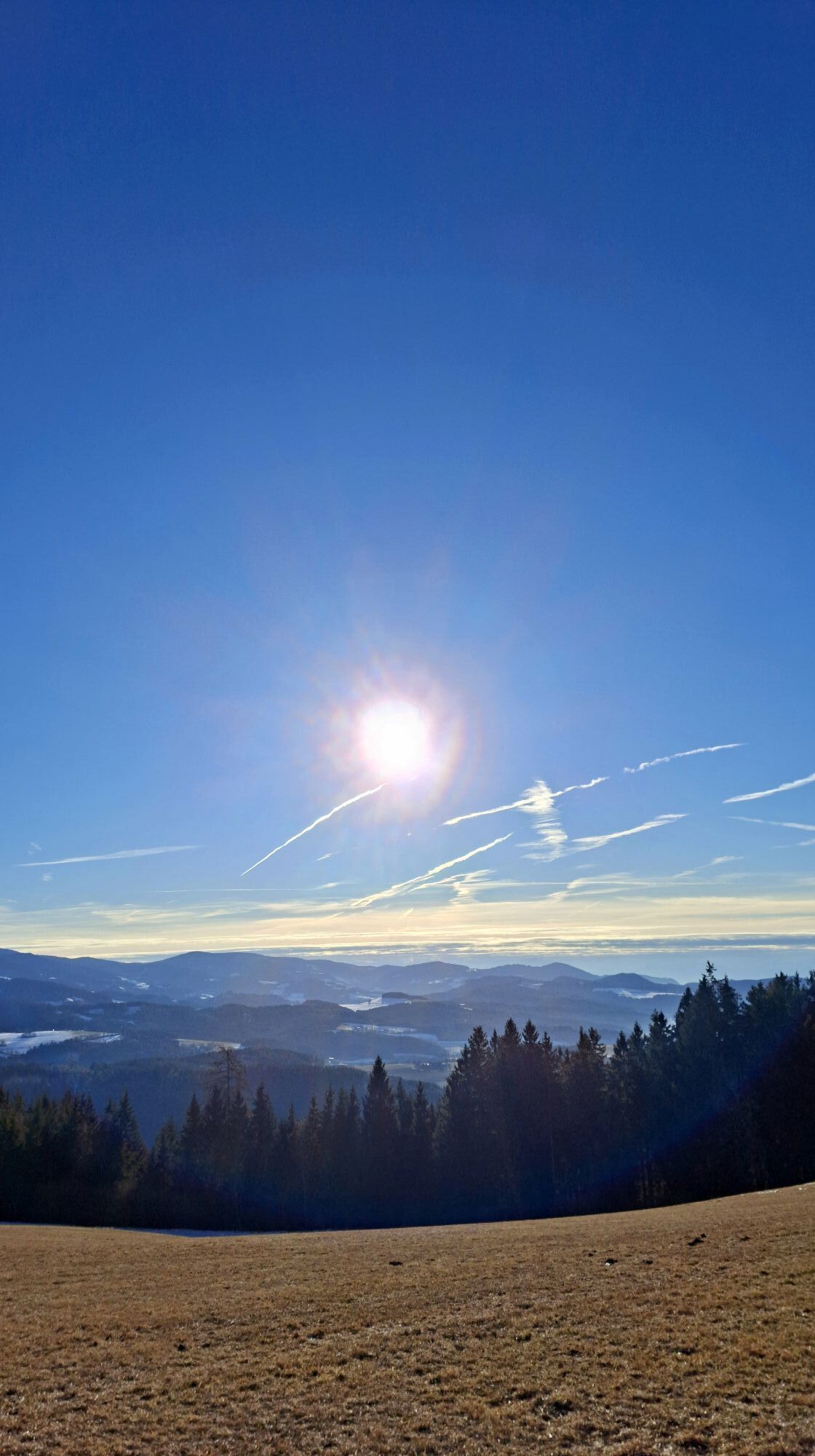

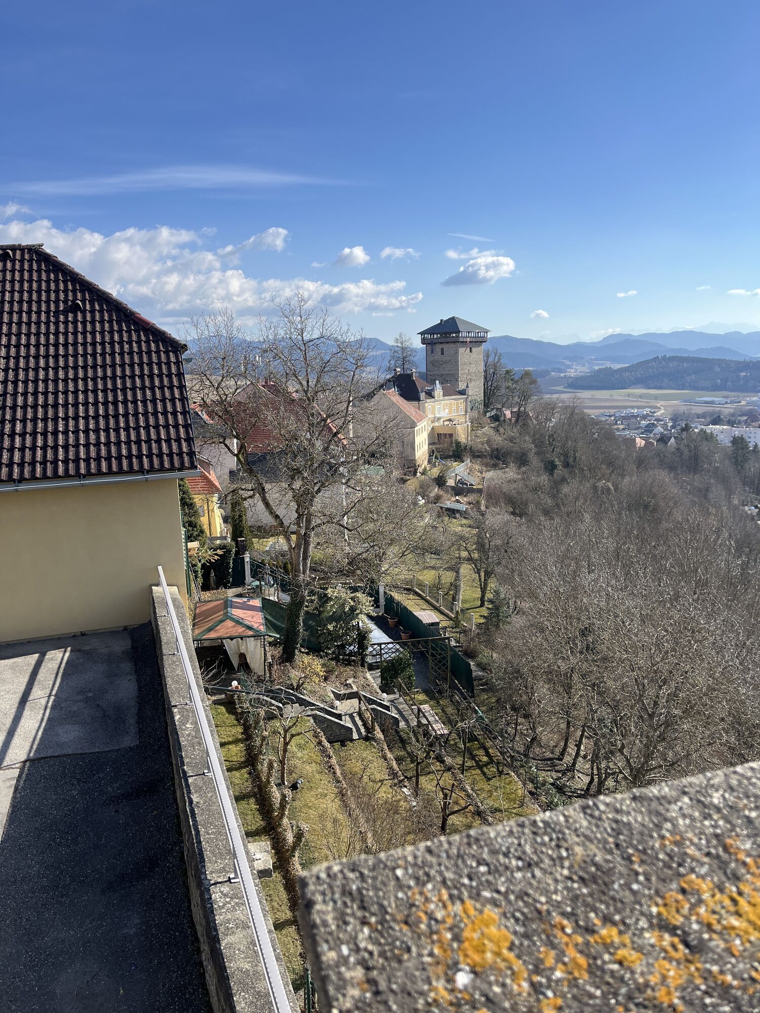
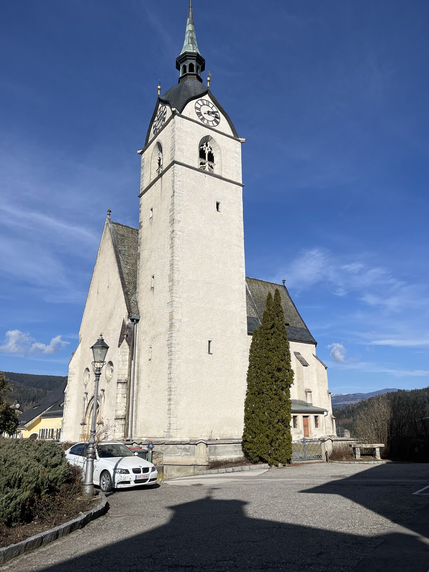
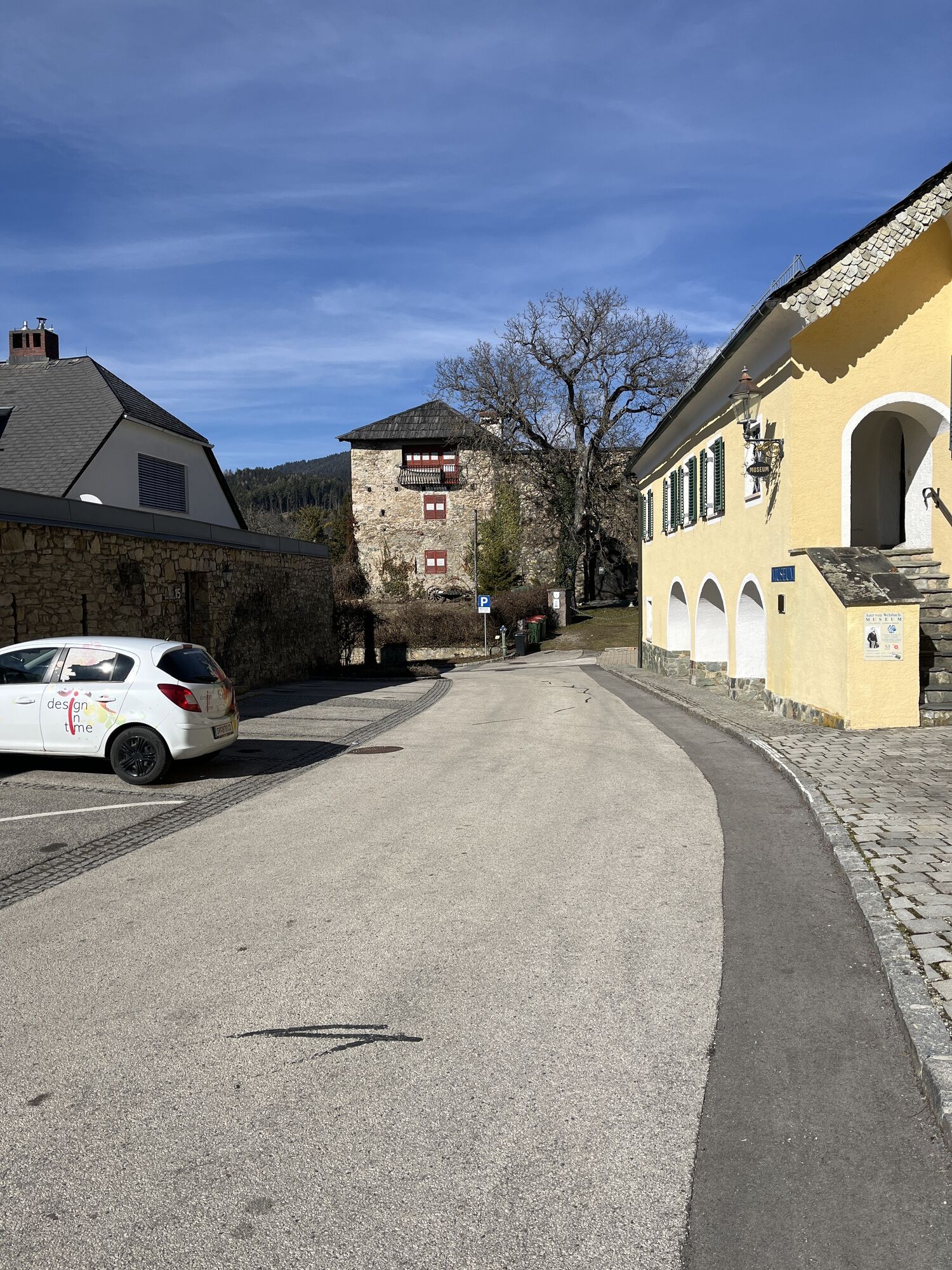
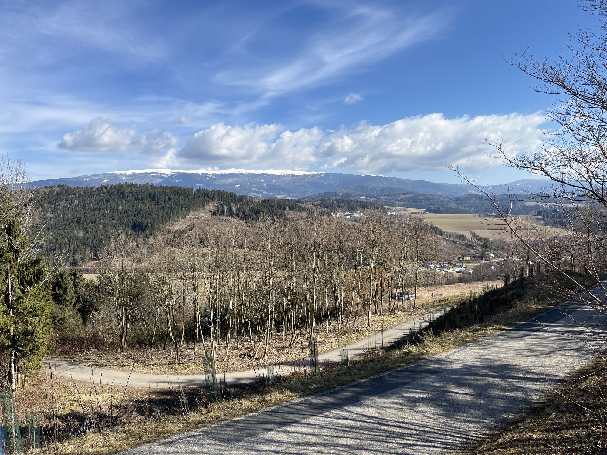
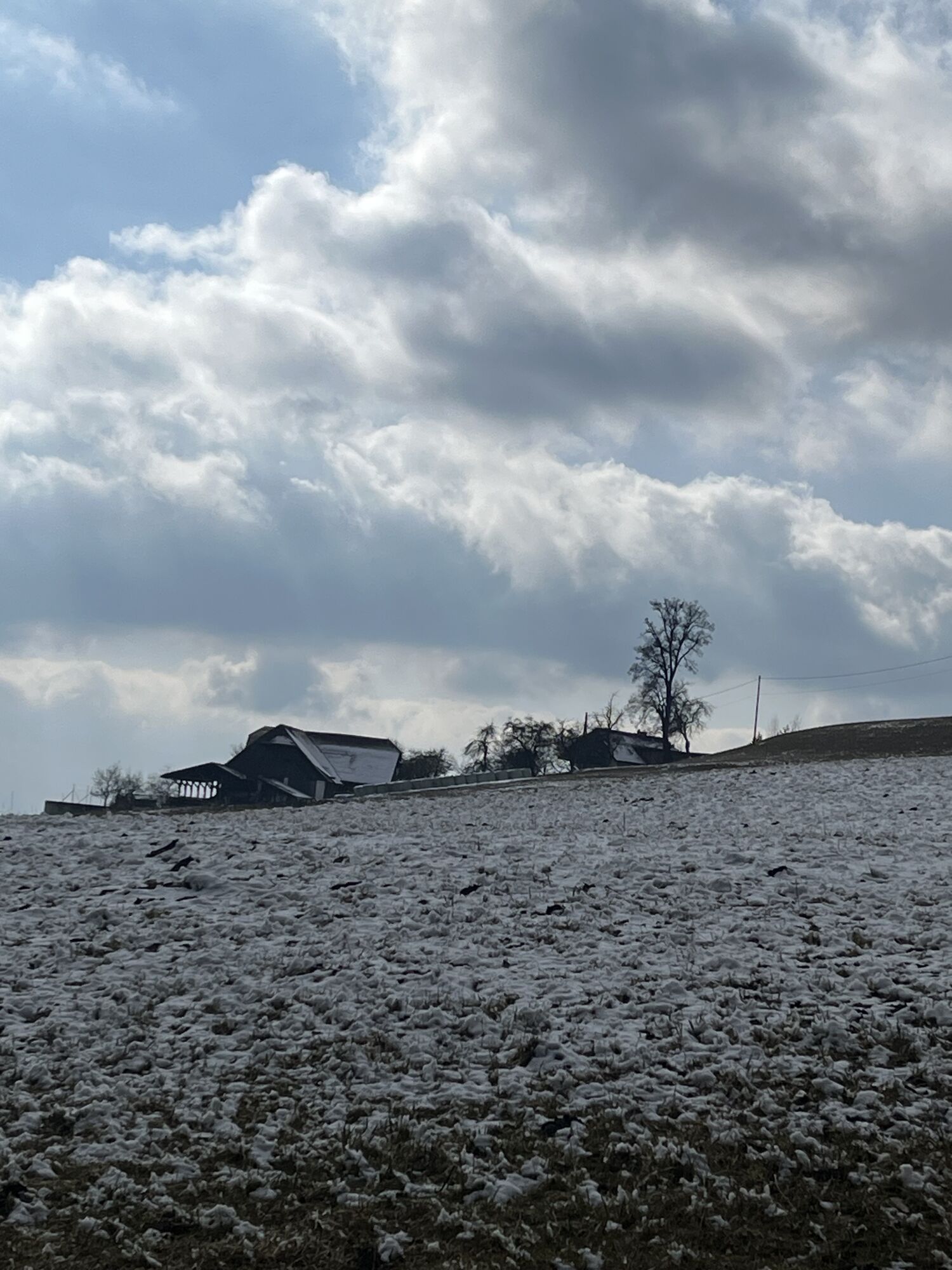
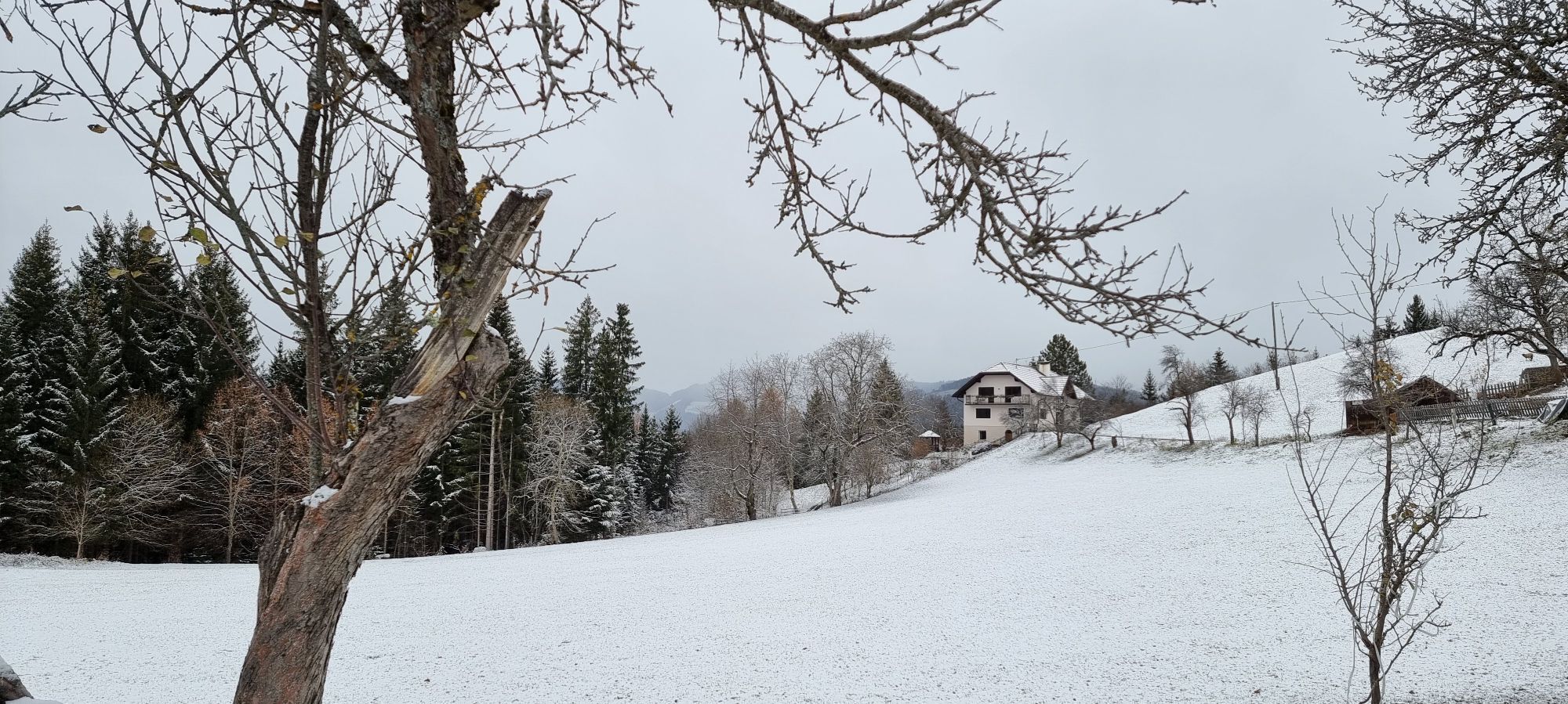
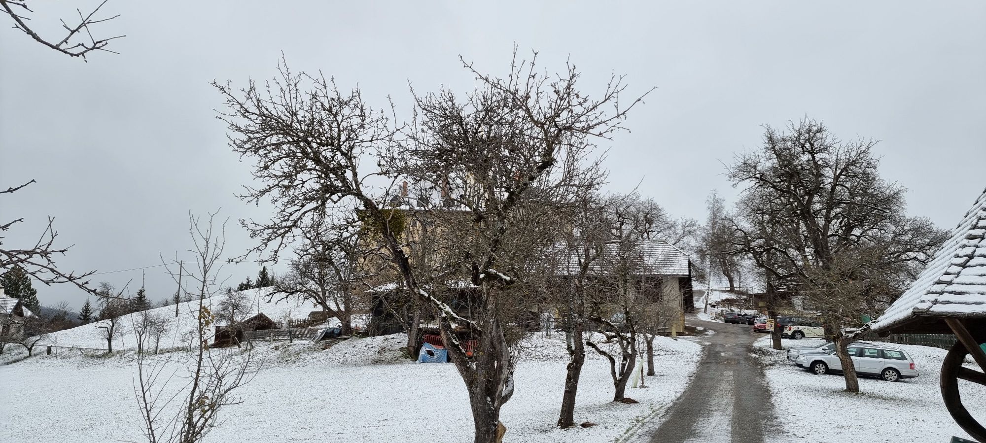
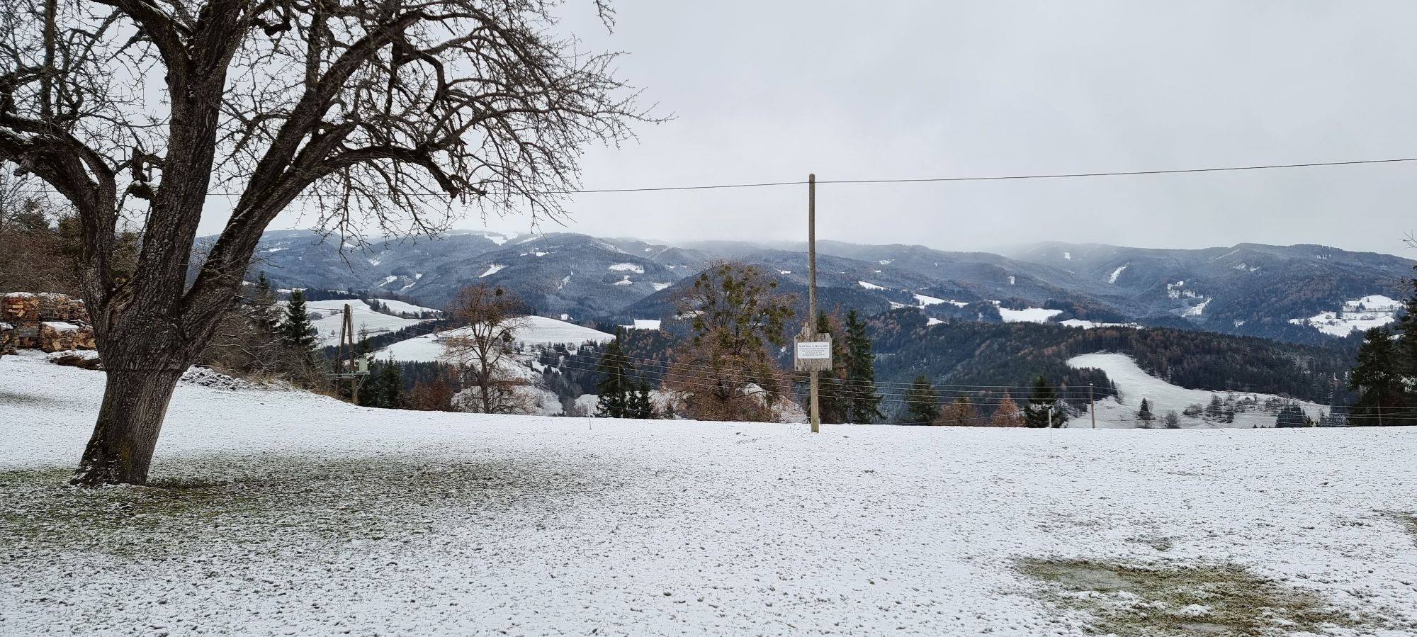
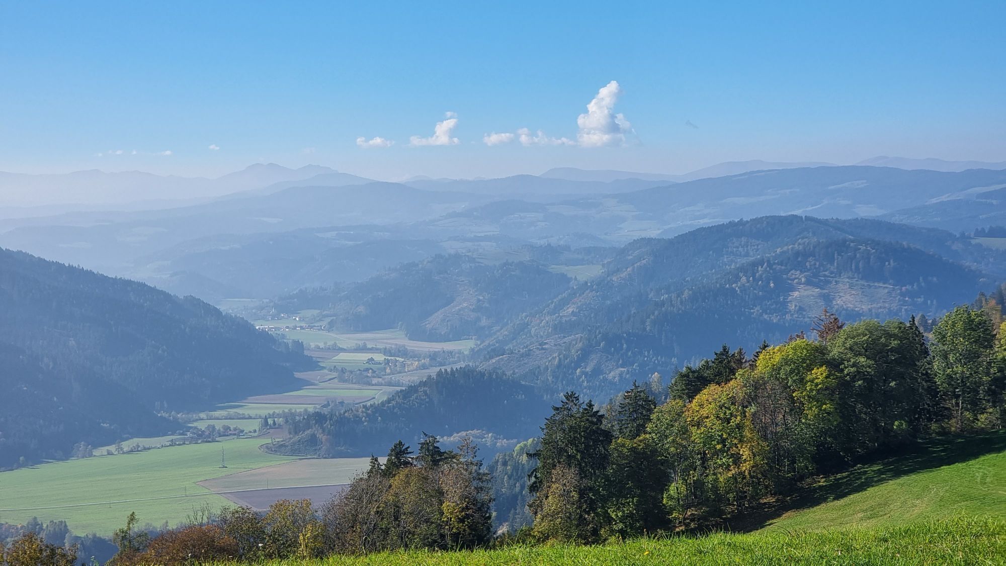
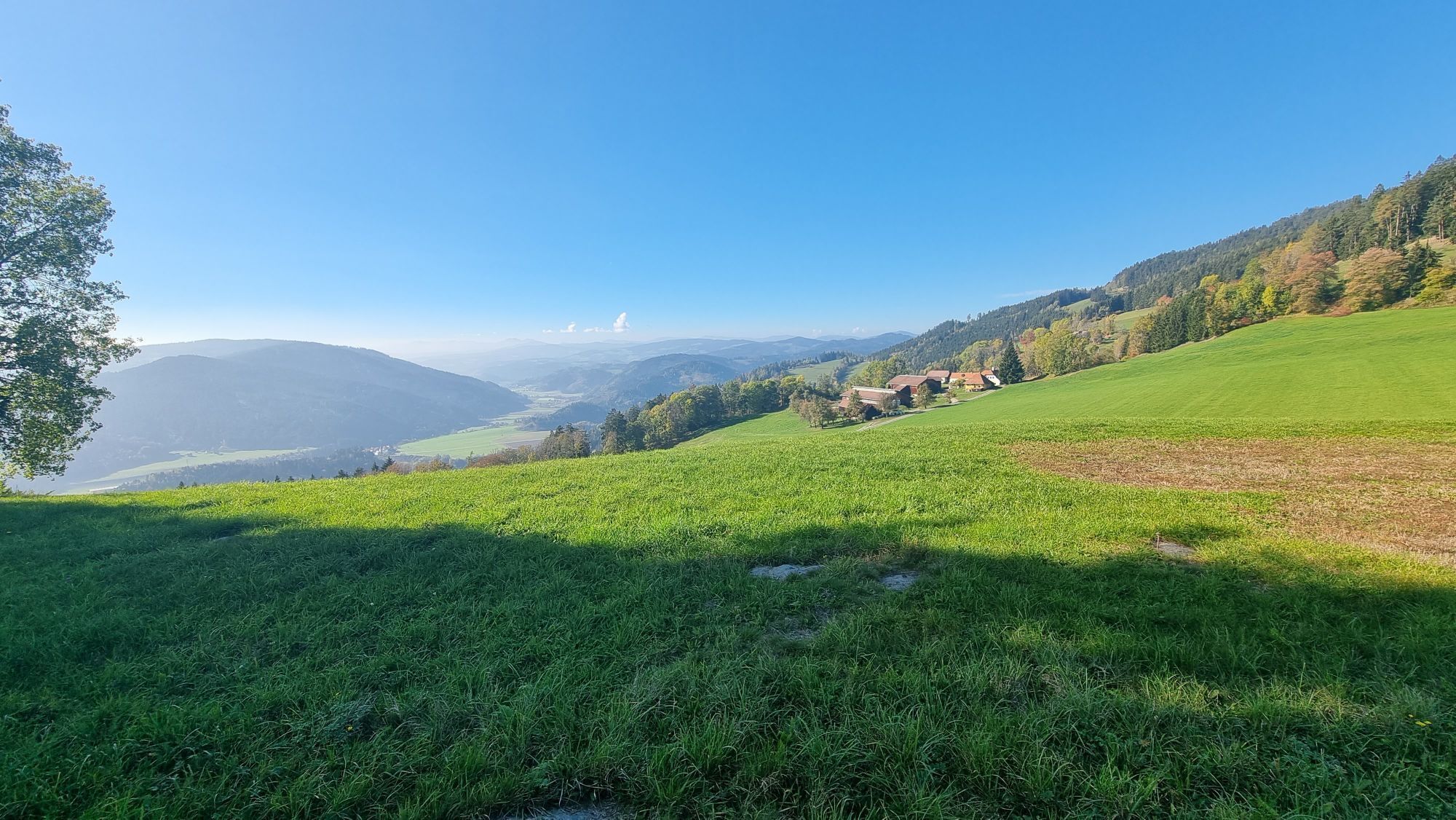
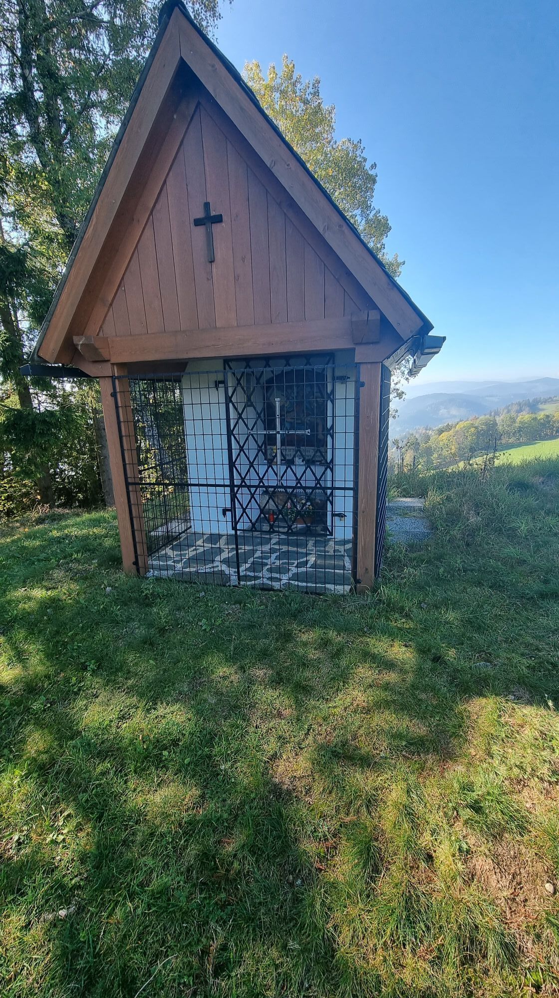
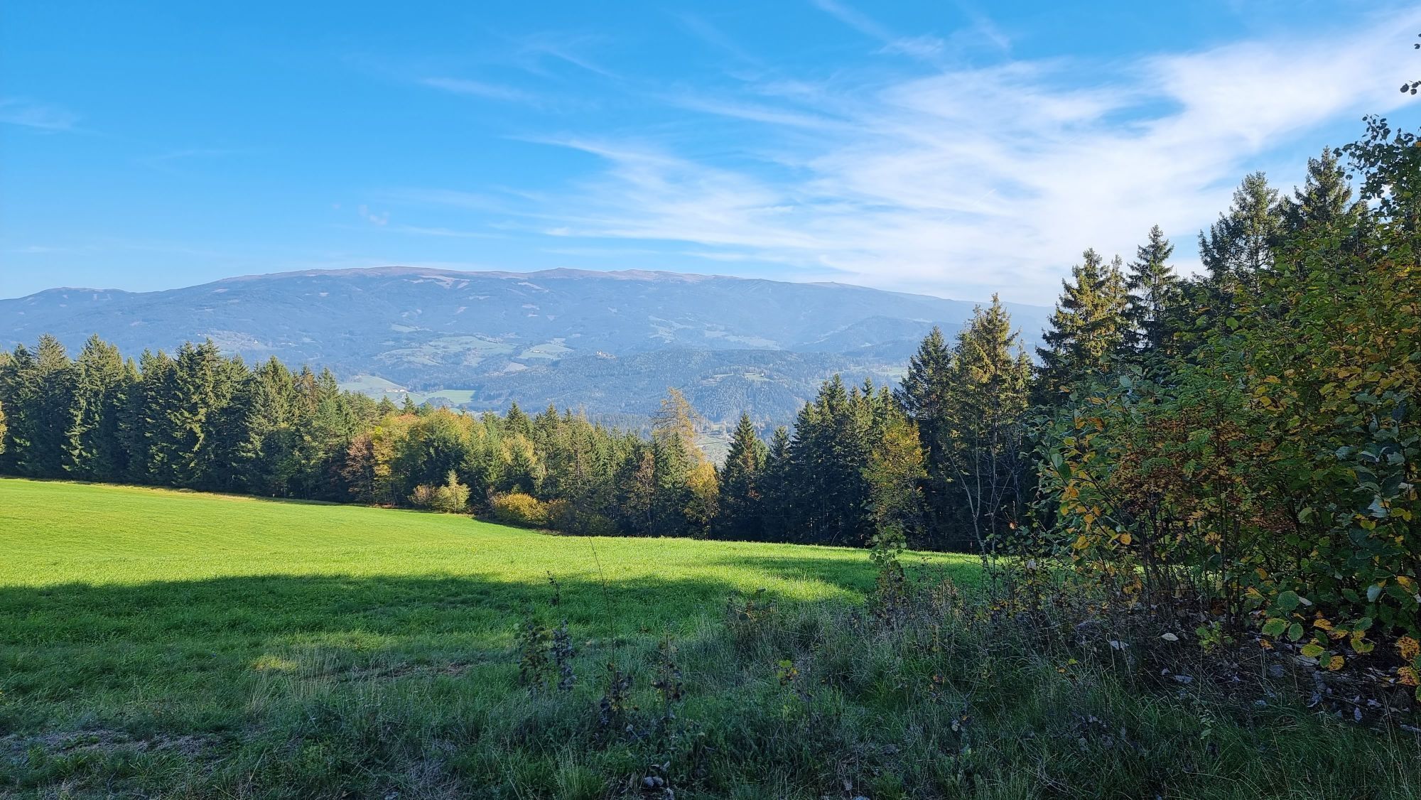
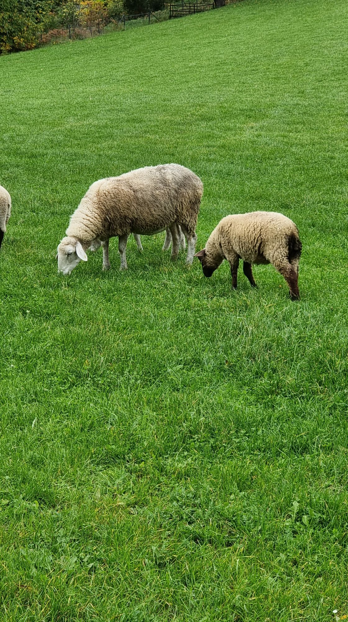
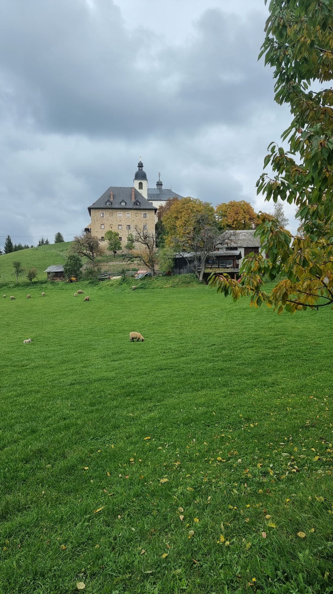
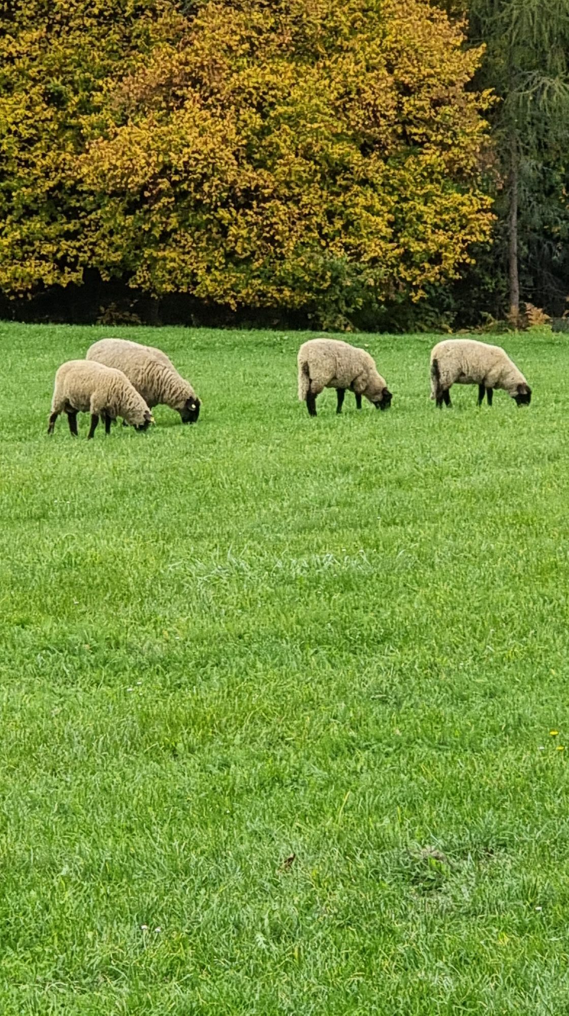
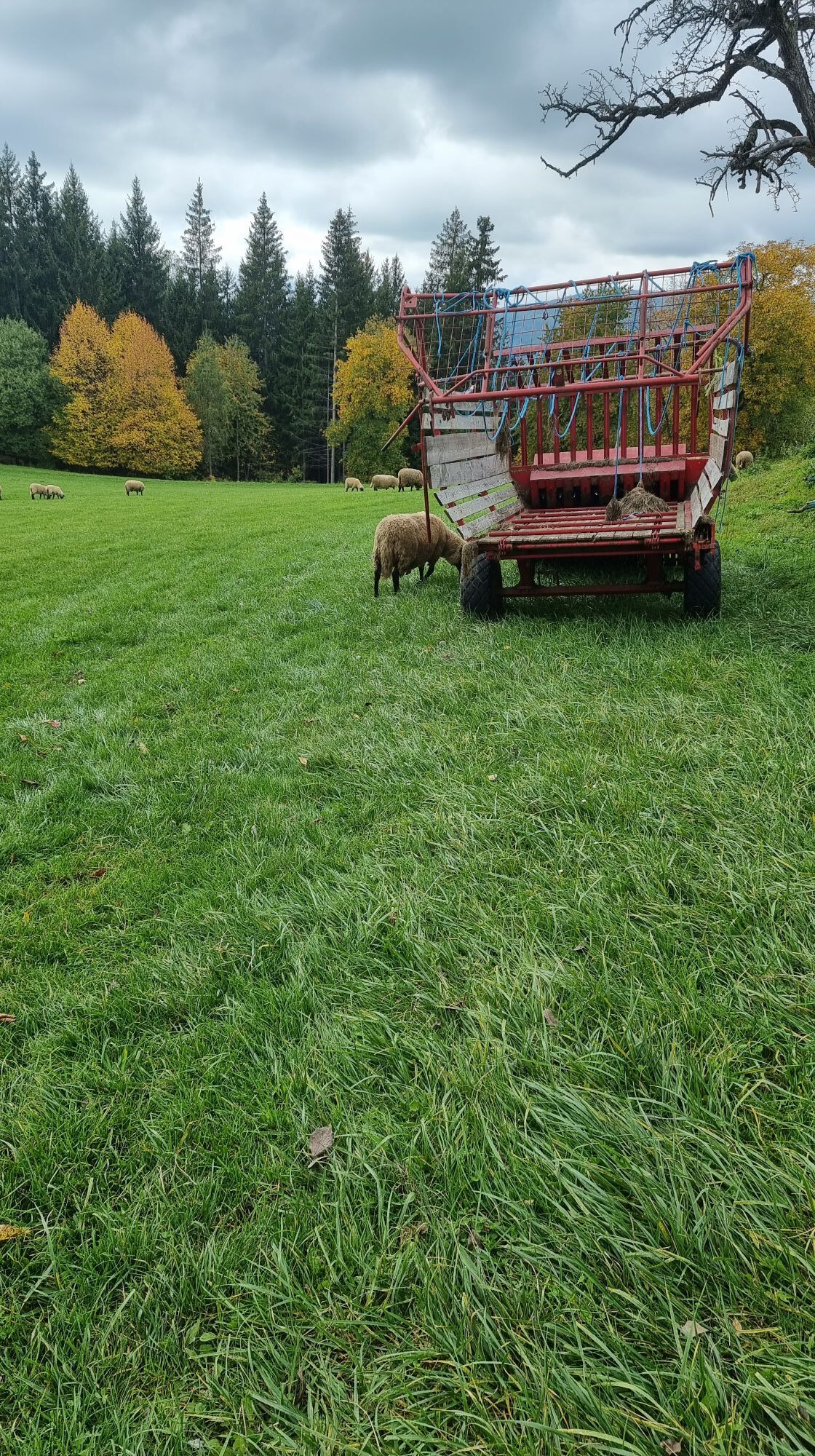
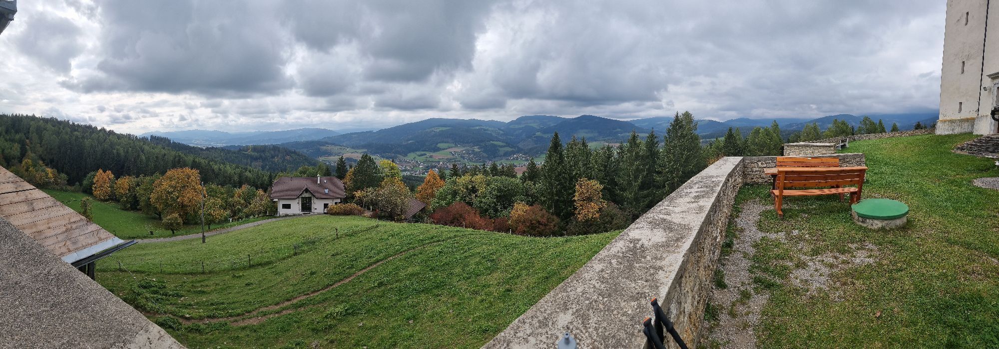
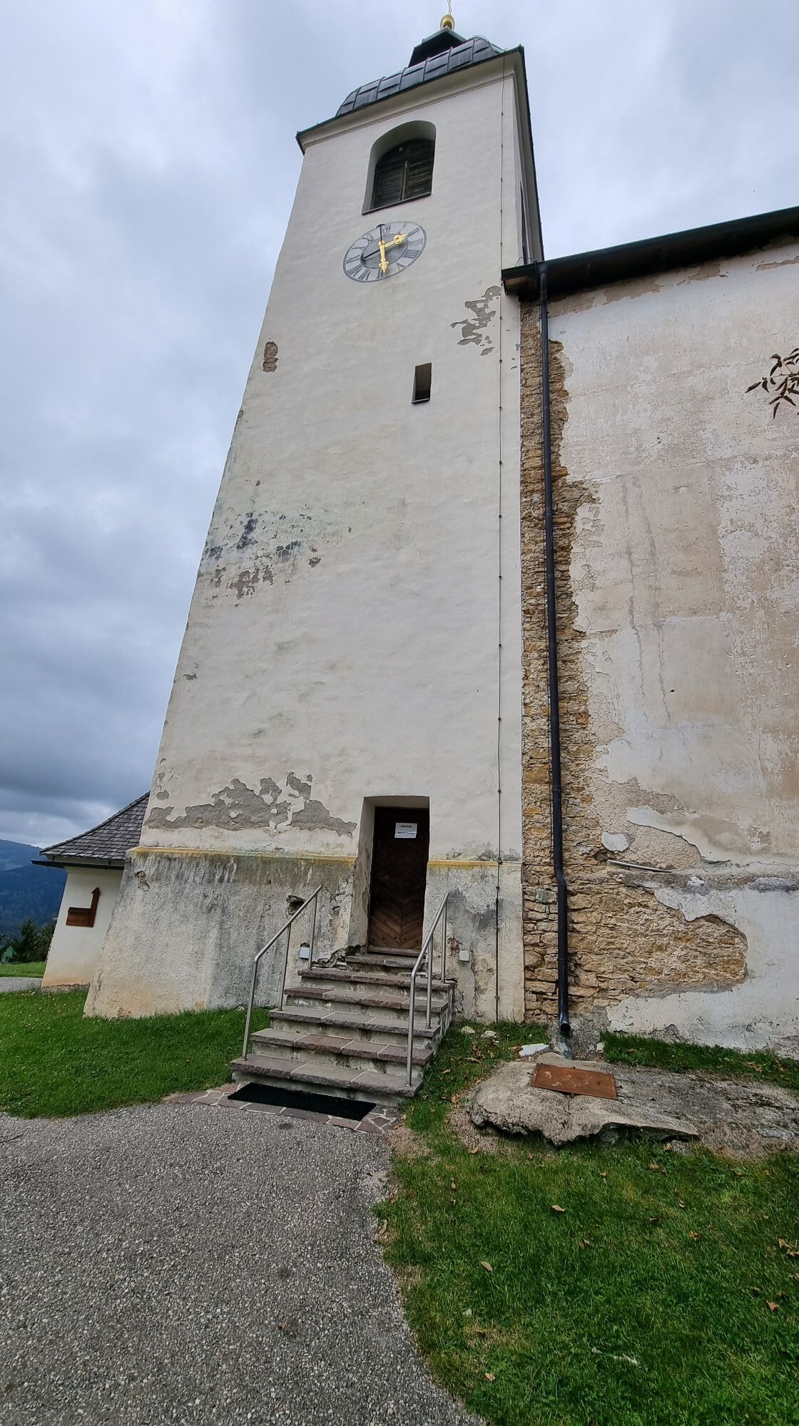
This hiking route is a real challenge for hiking enthusiasts. You start at the church in St. Gertuden, then continue to Guttaring and further towards the pilgrimage church Maria Hilf. From there, you reach...
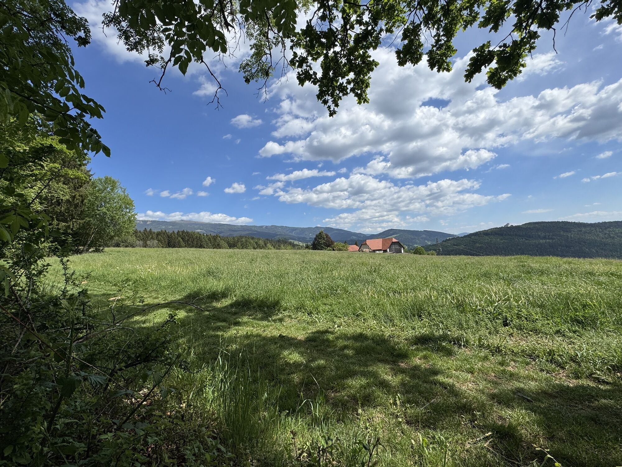
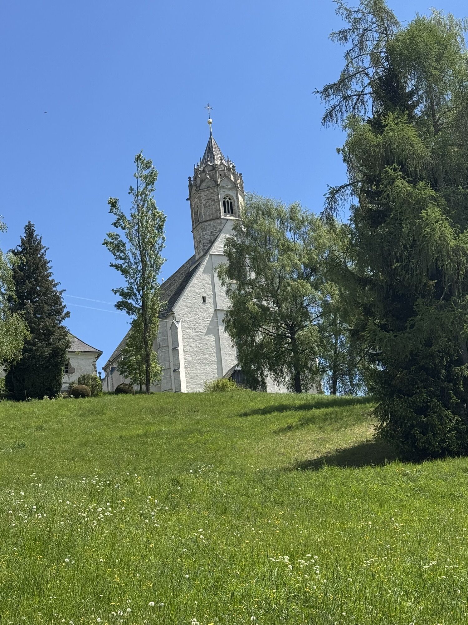
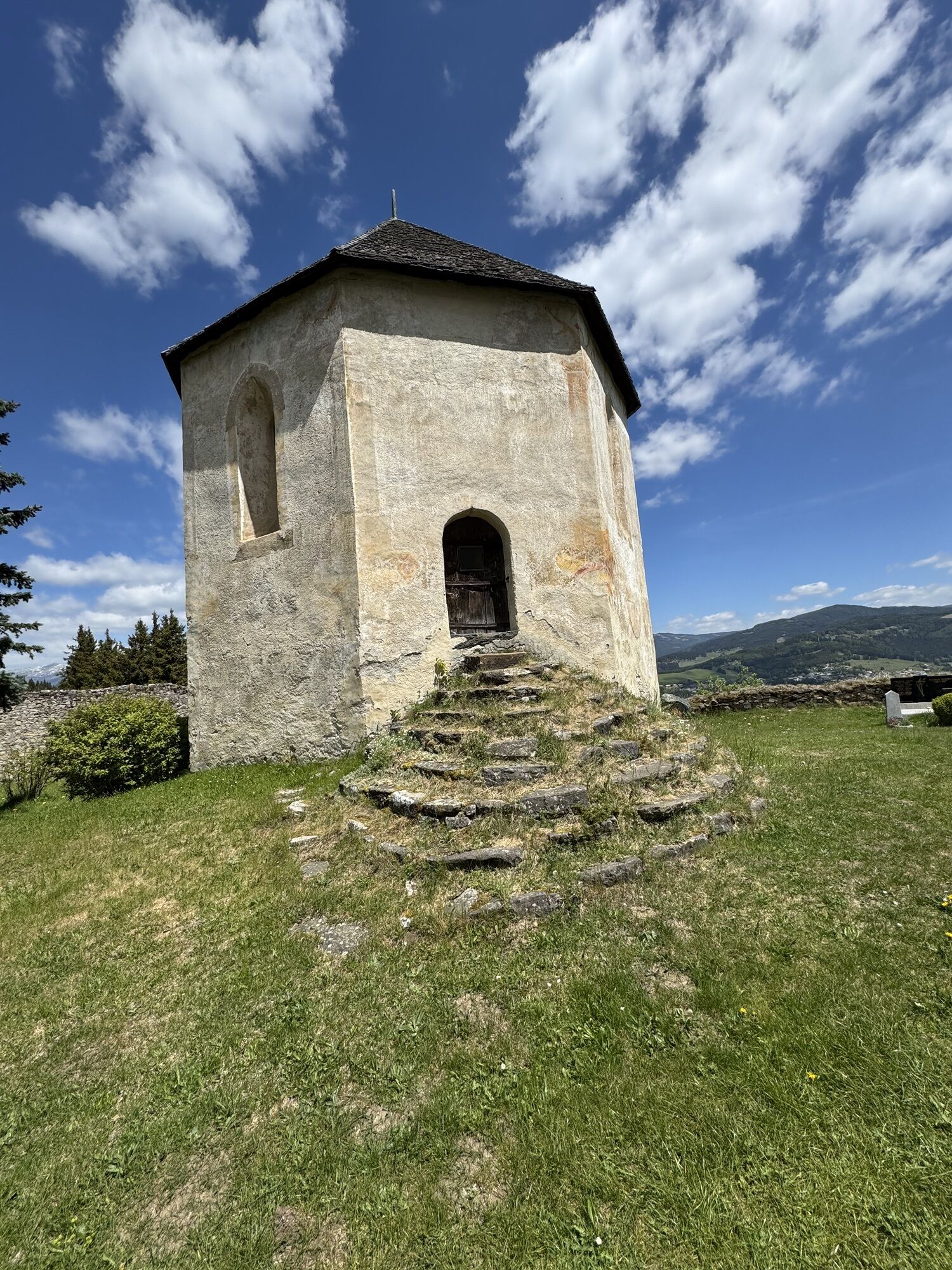
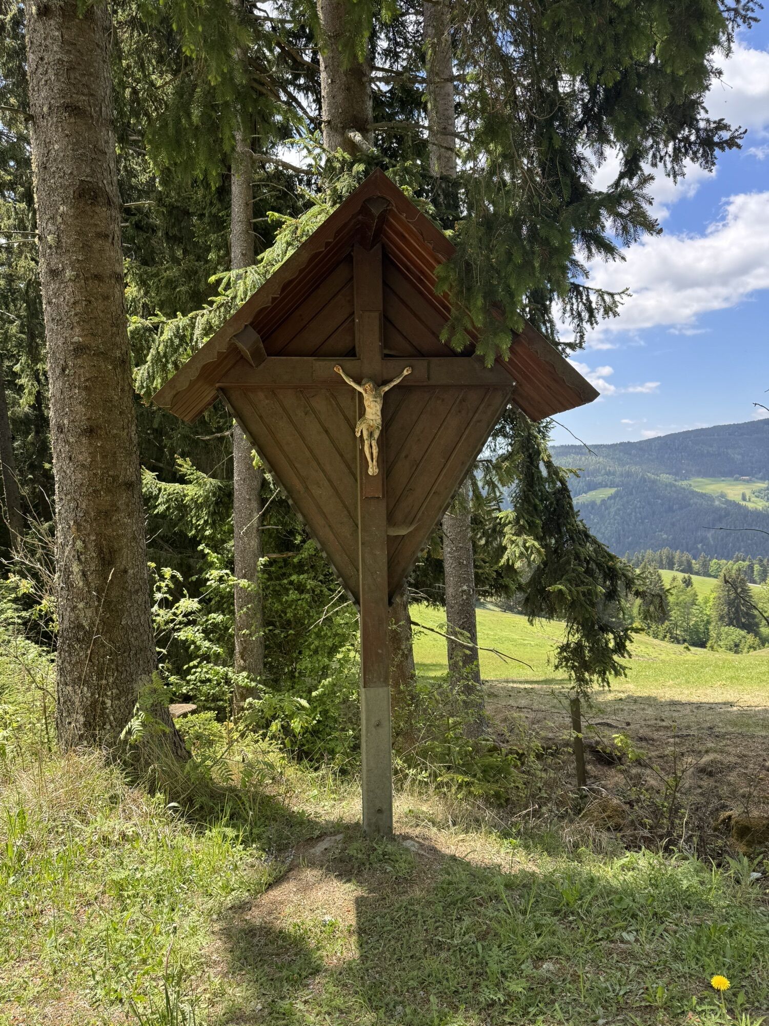
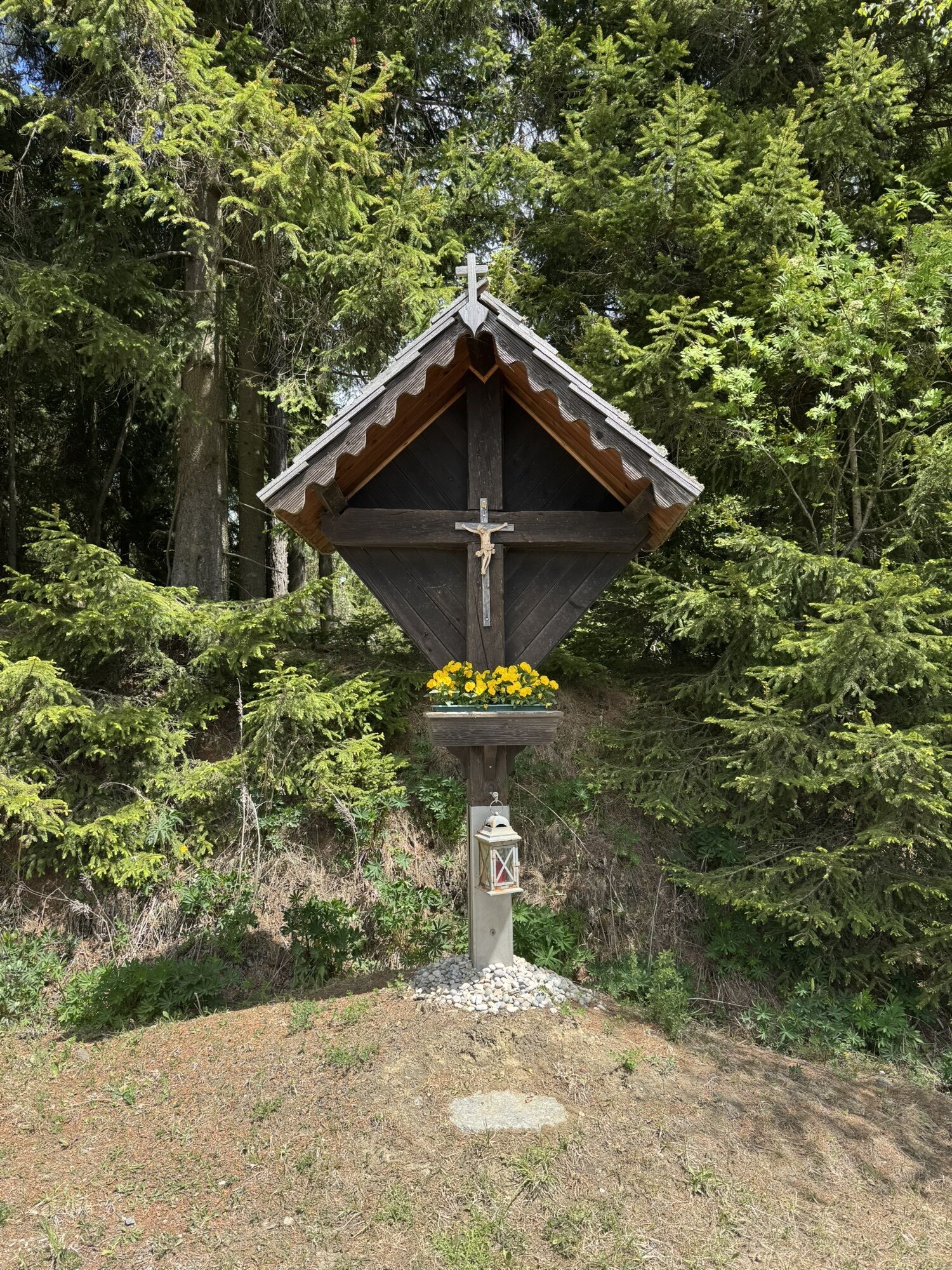
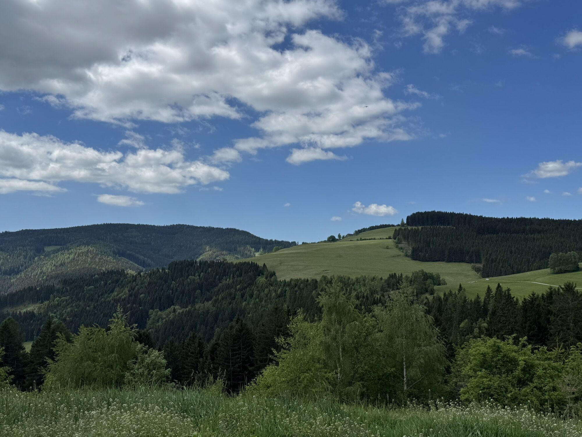
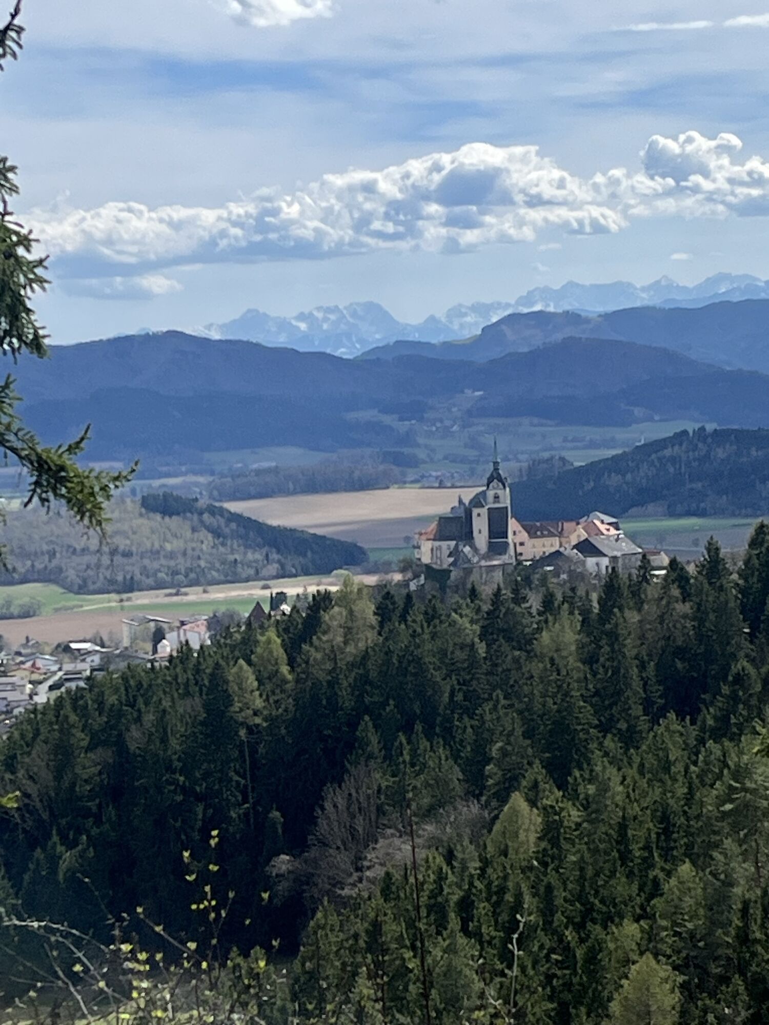
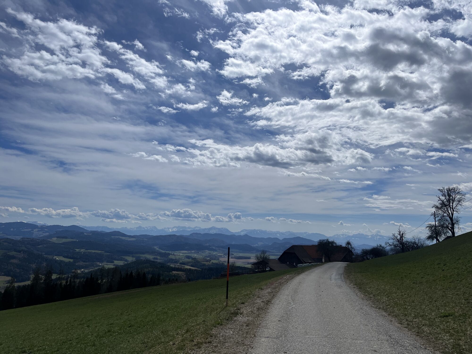
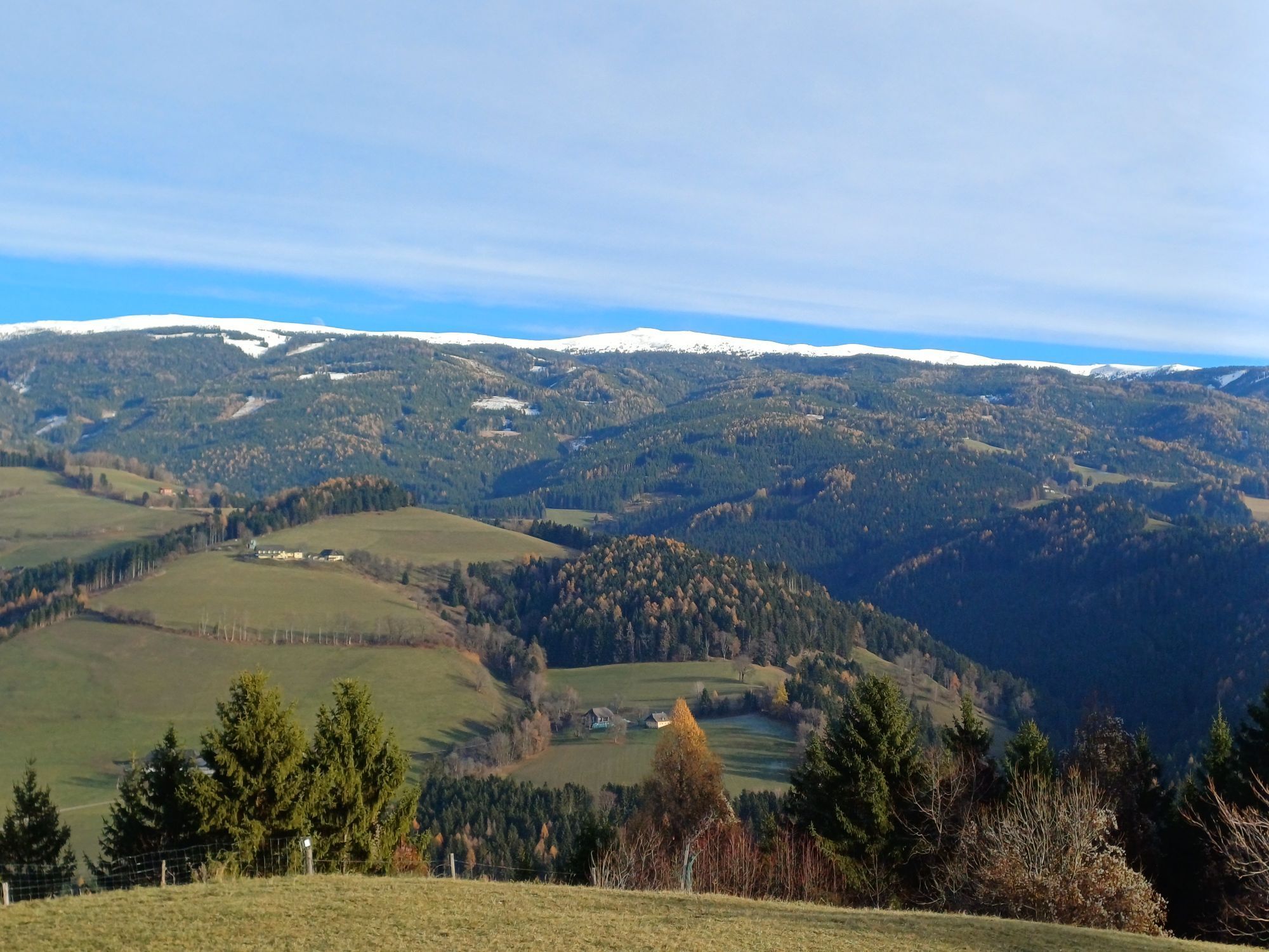
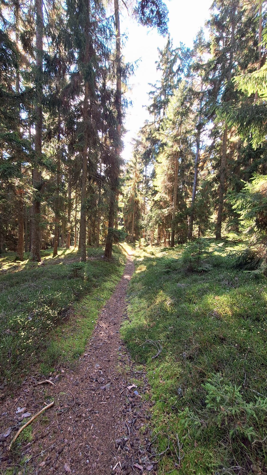
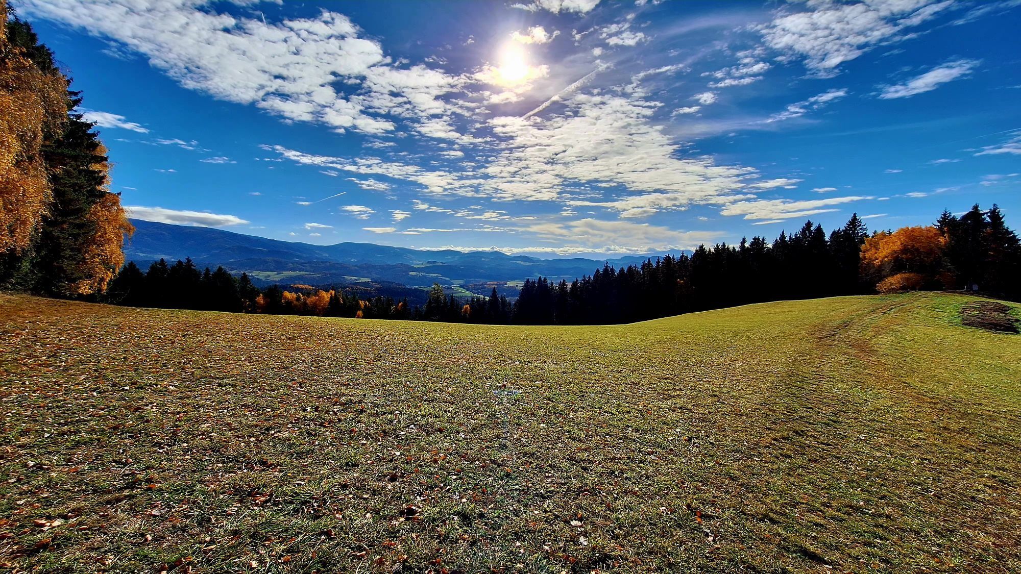
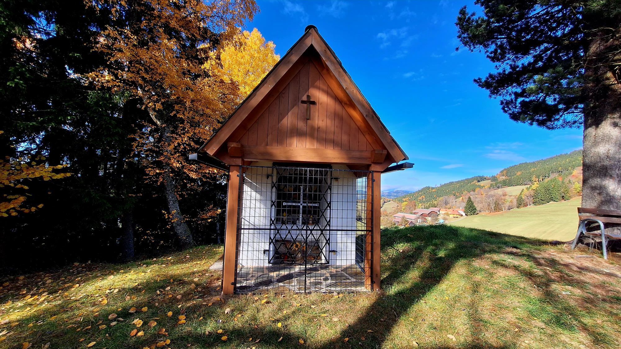
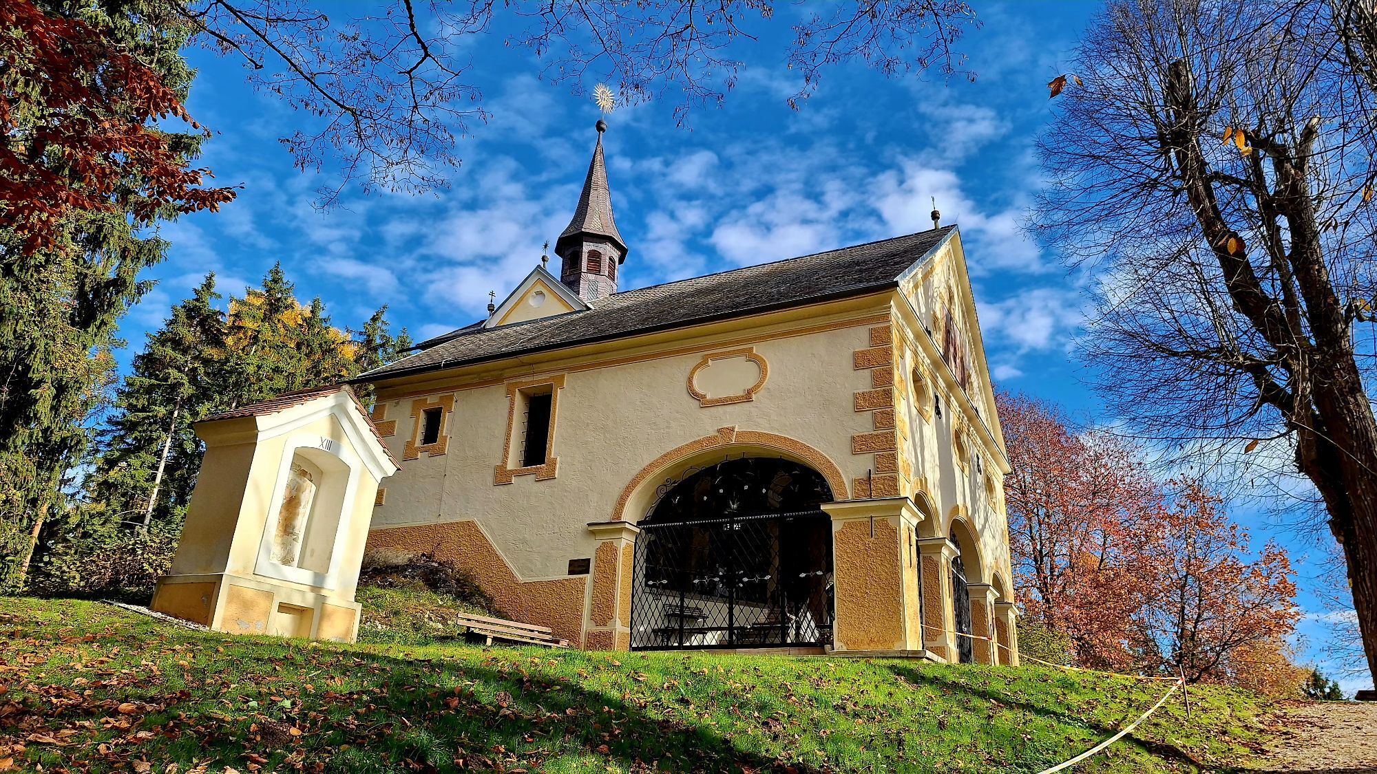
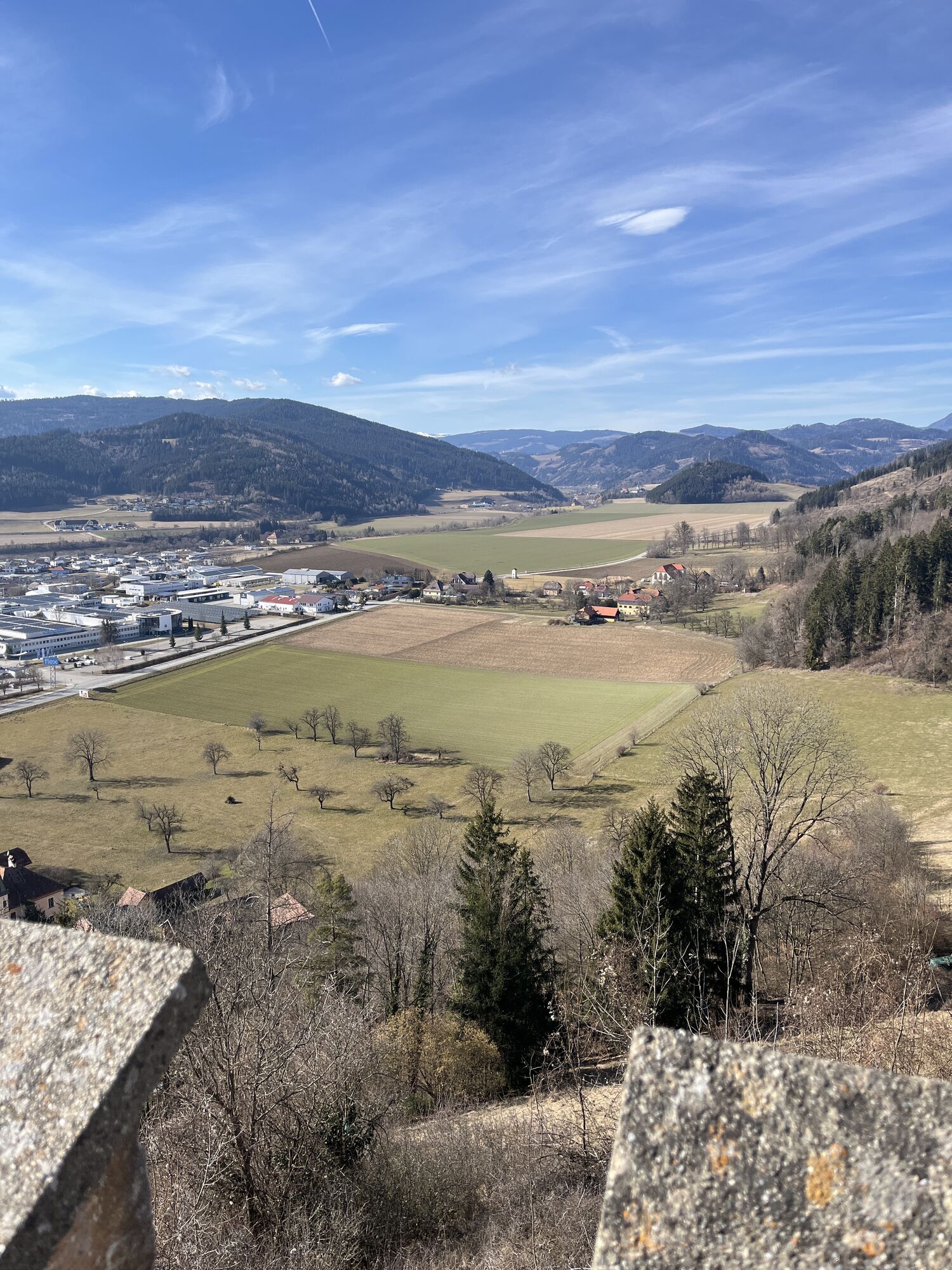
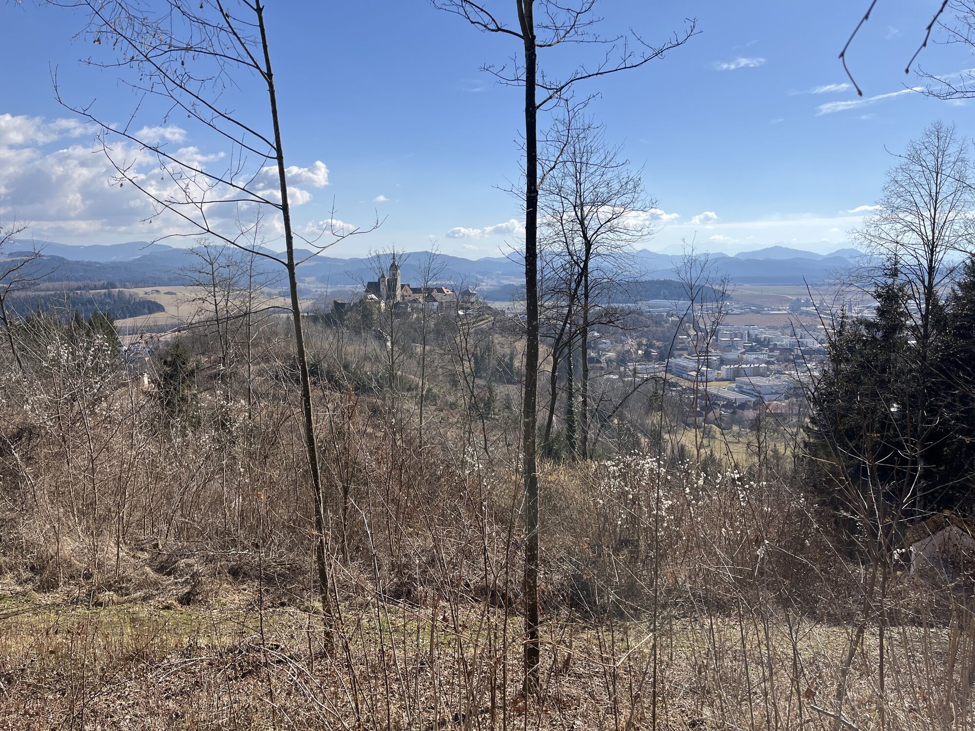
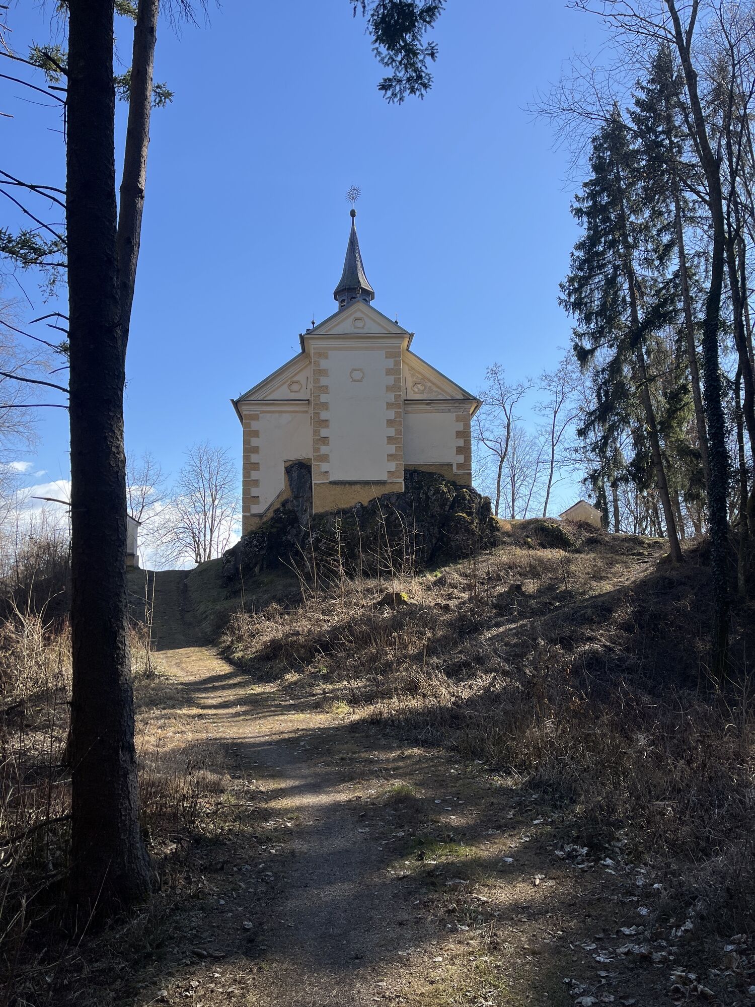
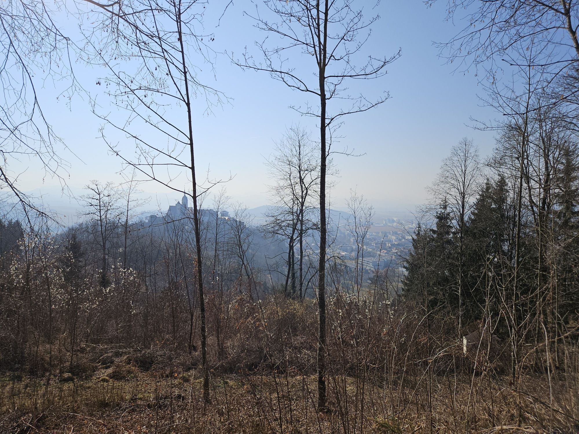
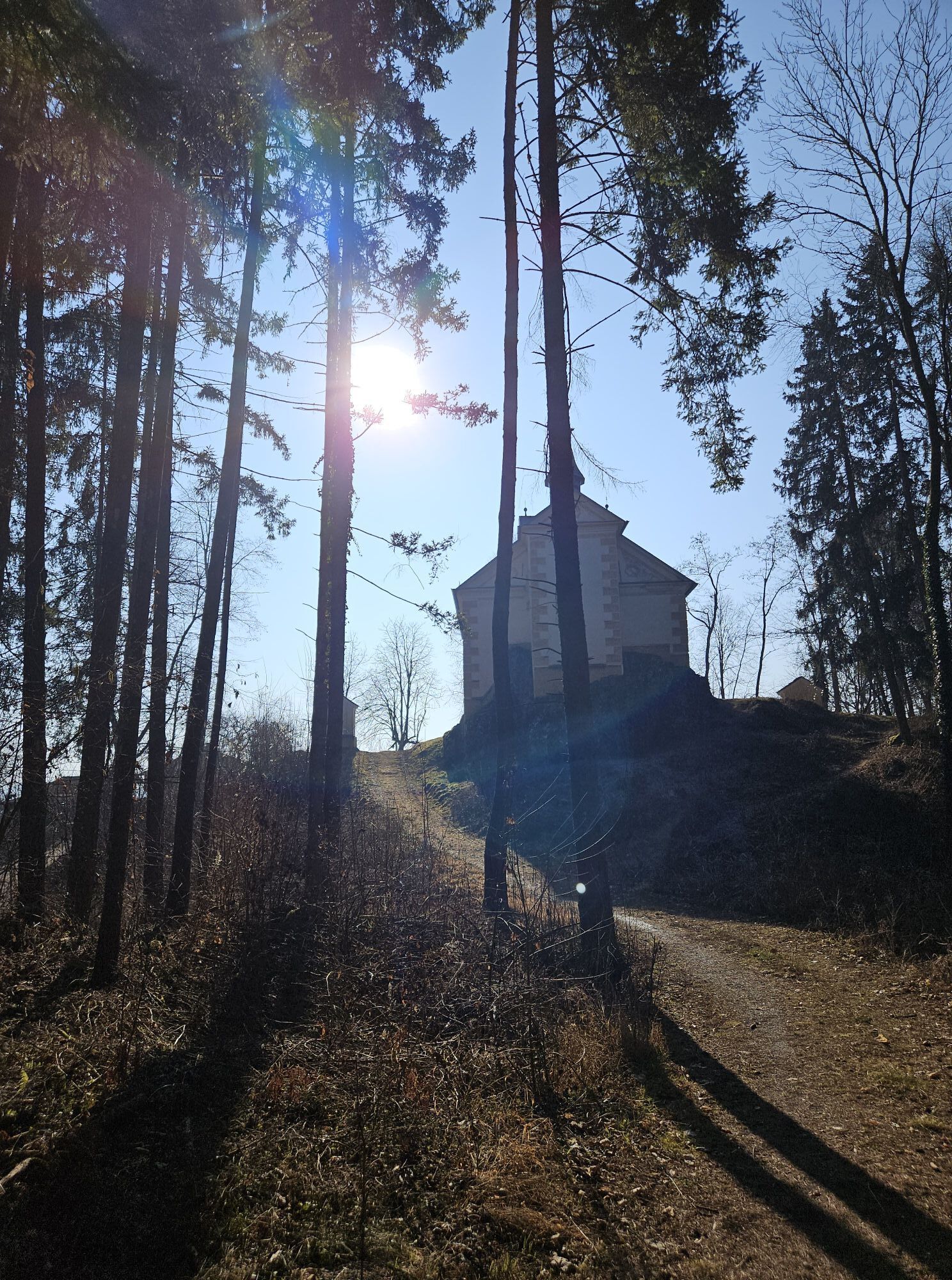
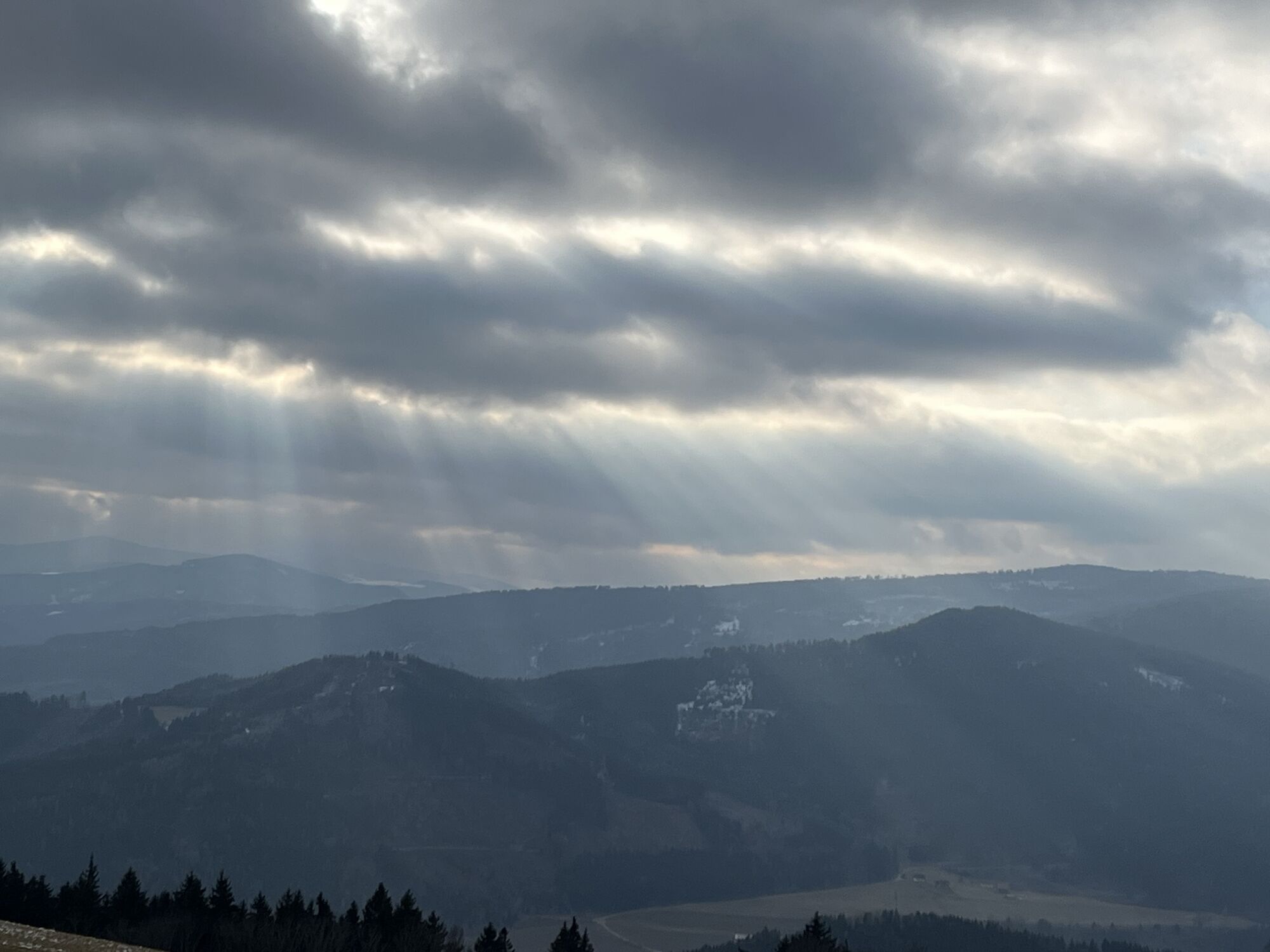
This hiking route is a real challenge for hiking enthusiasts. You start at the church in St. Gertuden, then continue to Guttaring and further towards the pilgrimage church Maria Hilf. From there, you reach Schelmberg via a beautiful forest path and then the church in Deinsberg. From here, the path gently ascends through magnificent forest to the pilgrimage church Maria Waitschach. With a wonderful view of the fertile Krappfeld, the Saualpe, and the Karawanken, the path leads to the church Dobritsch. Passing the Eggerbauer estate, after a longer march turn left and walk past the Oberfercher and Hubmann estates. Following the signs, turn left again and now go over the tavern "Kernmayer" to Guttaring, where the last church in the town center of Guttaring awaits you.
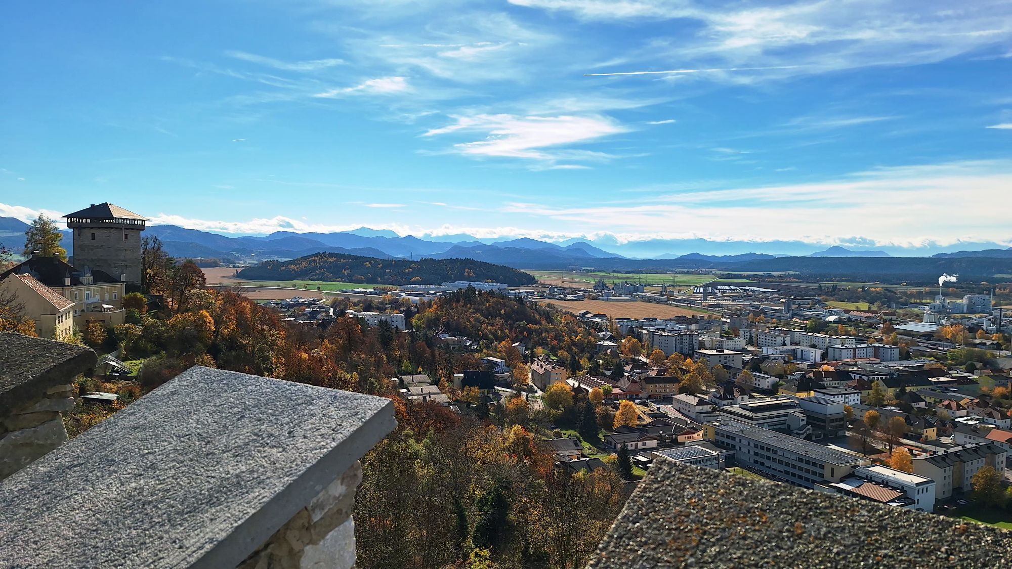
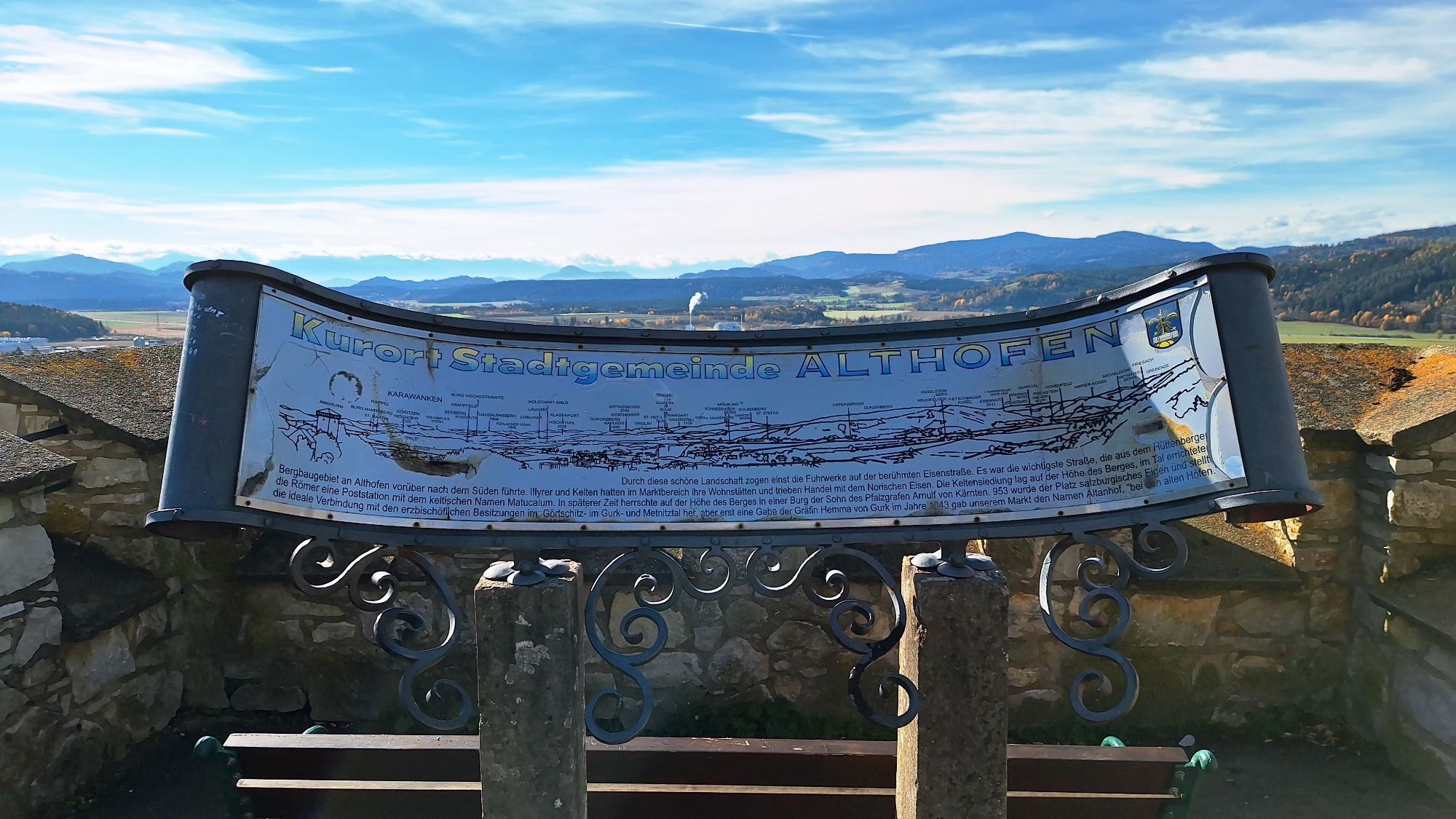
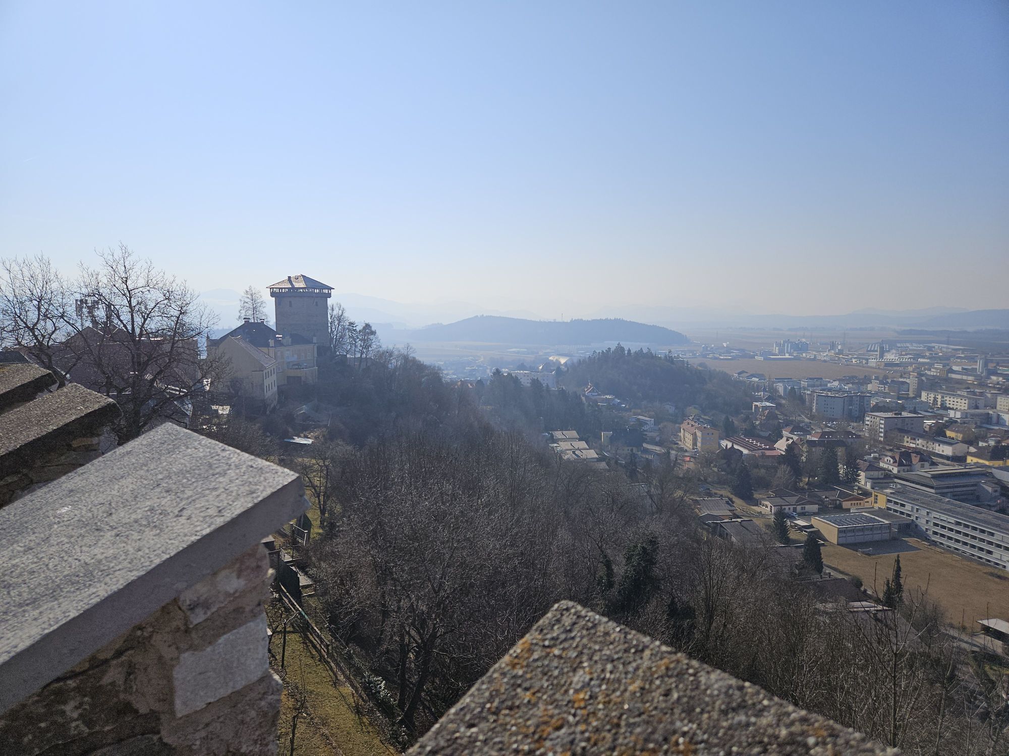
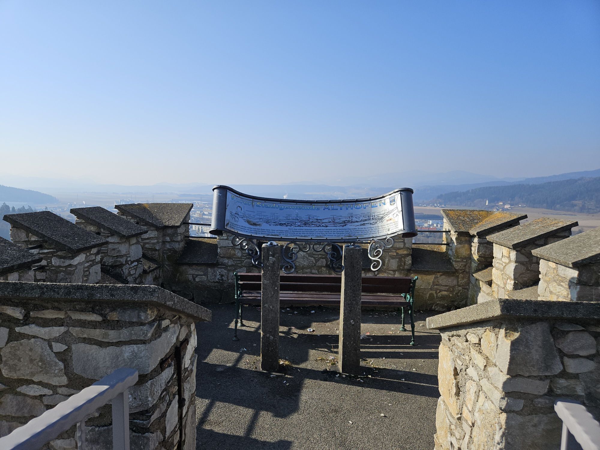
If you want to hike to the church of the town Althofen, then follow the road from the Hubmann estate towards Althofen.

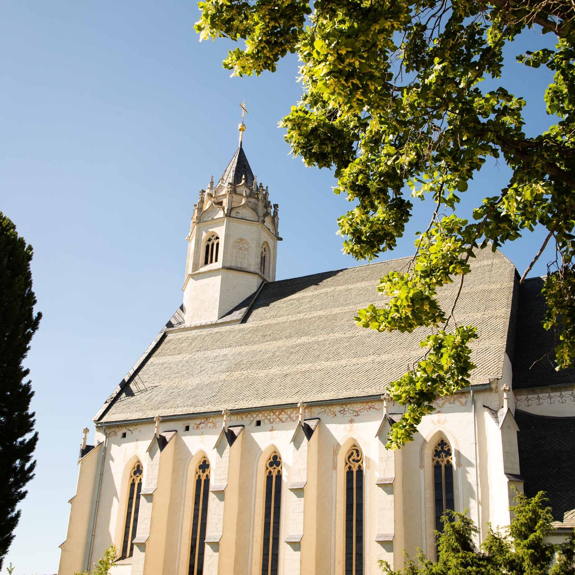
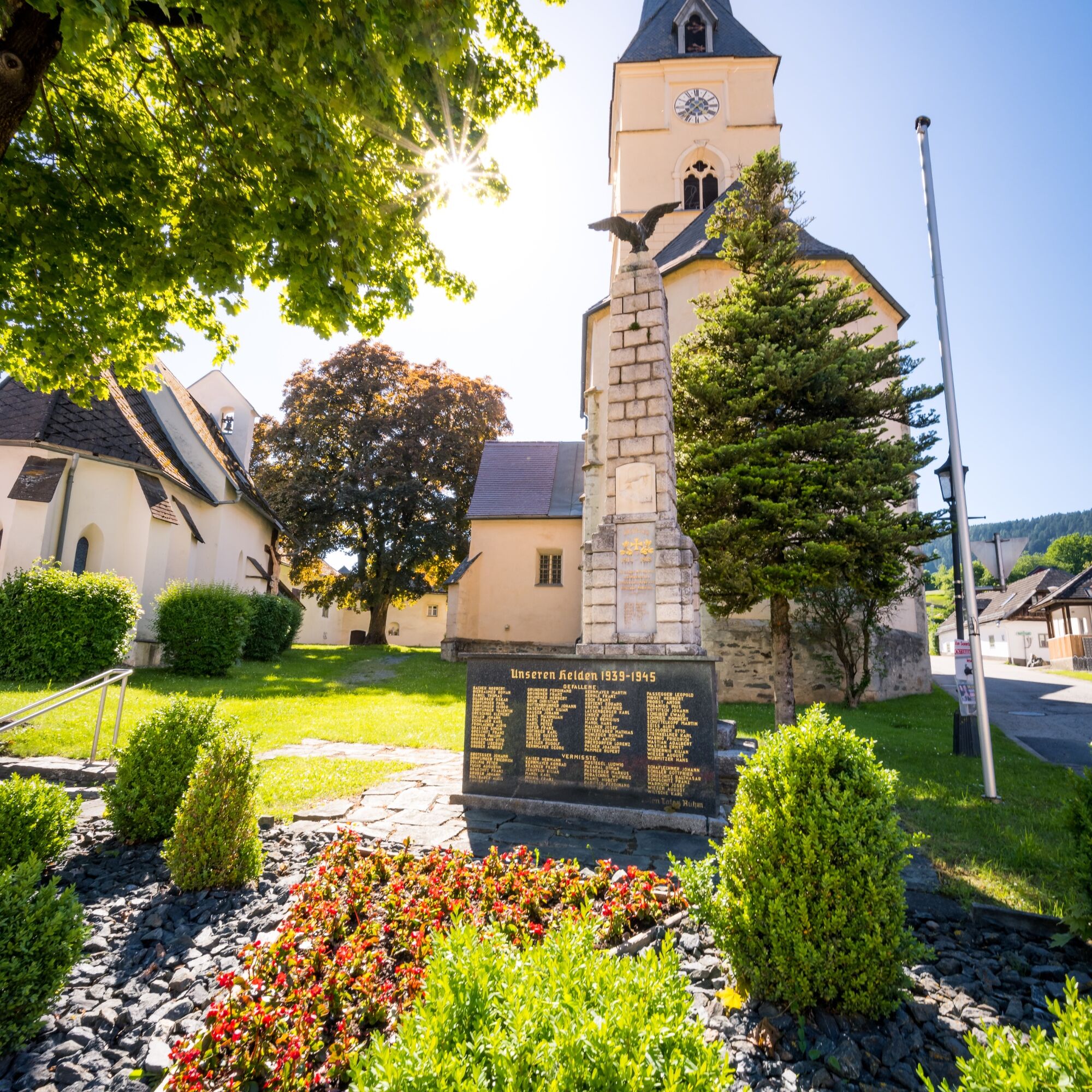
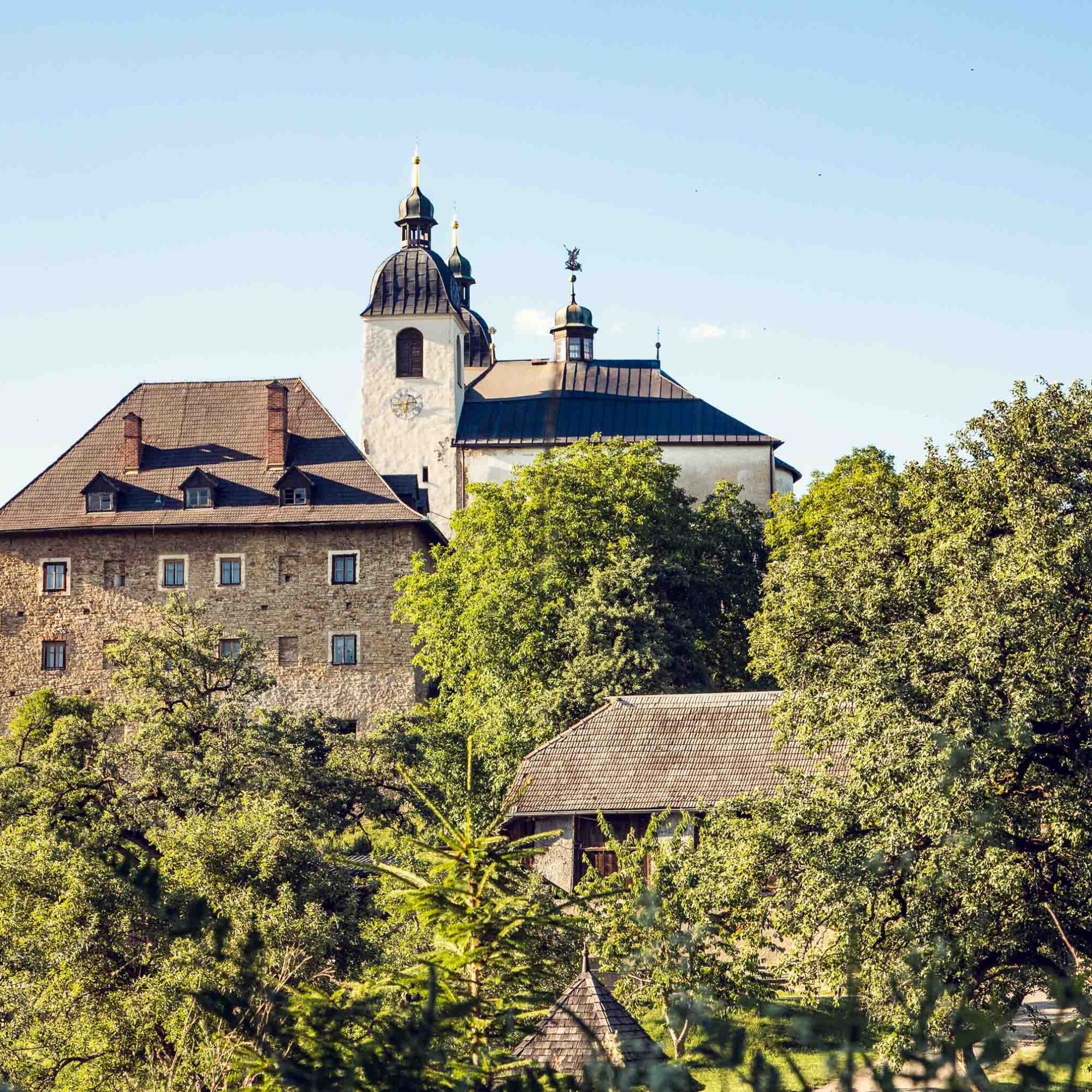
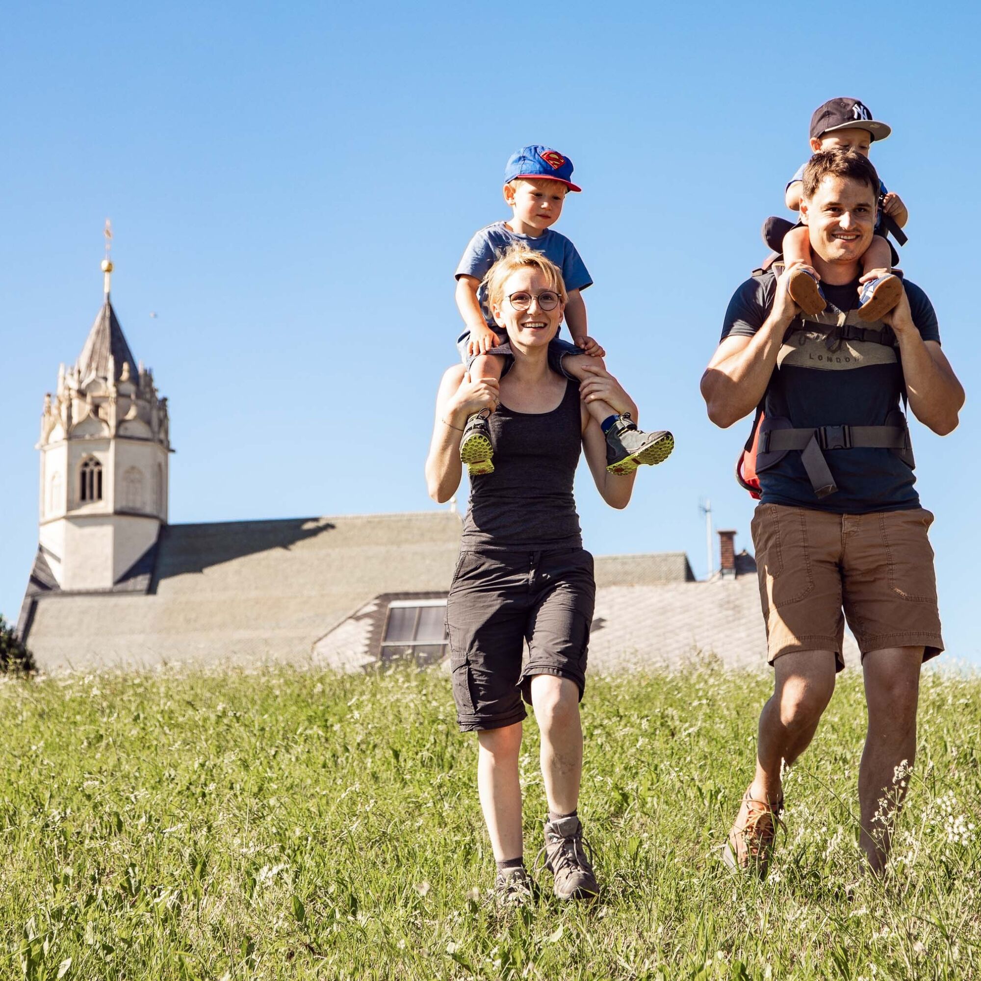
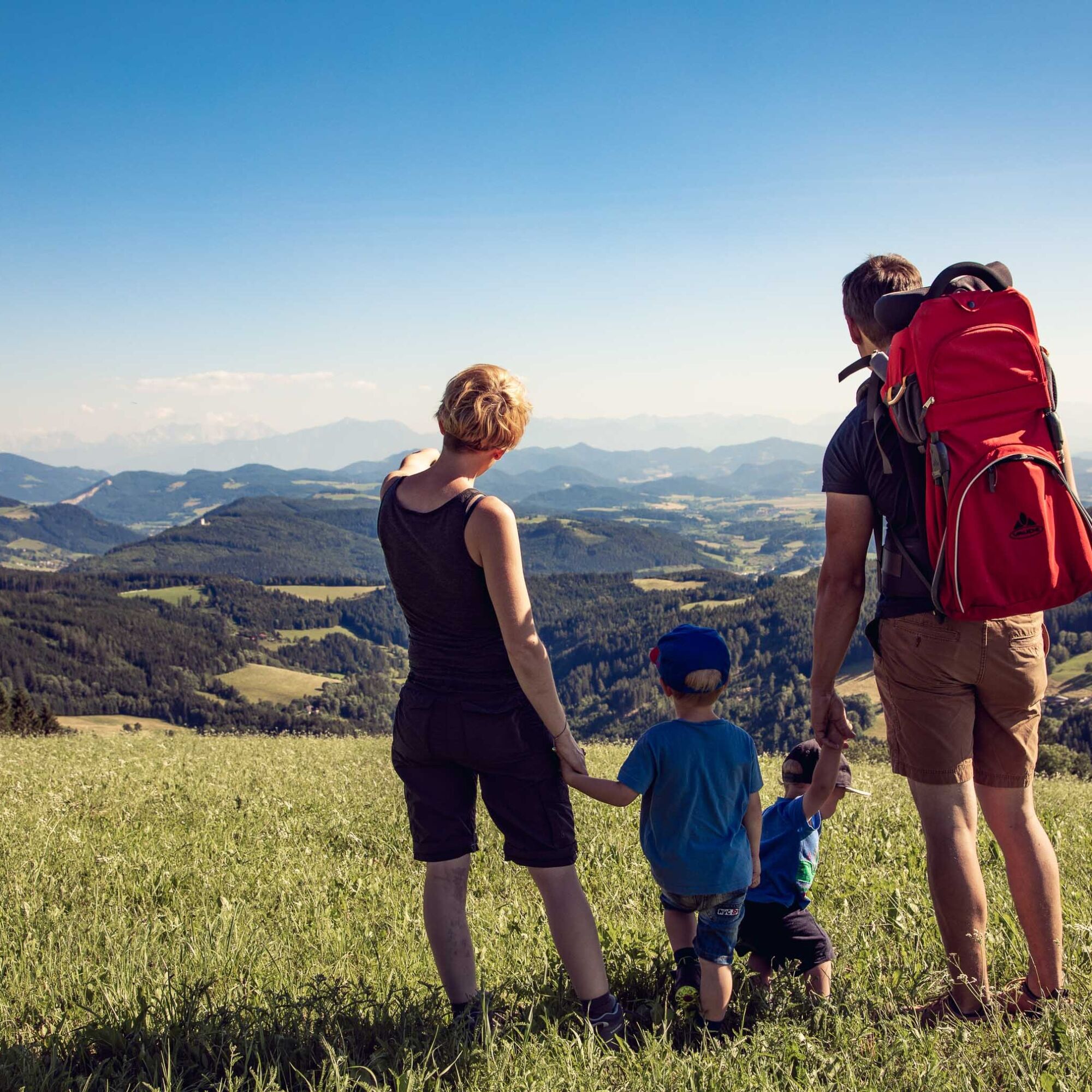

This hiking route is a real challenge for hiking enthusiasts. You start at the church in St. Gertuden, then continue to Guttaring and further towards the pilgrimage church Maria Hilf. From there, you reach Schelmberg via a beautiful forest path and then the church in Deinsberg. From here, the path gently ascends through magnificent forest to the pilgrimage church Maria Waitschach. With a wonderful view of the fertile Krappfeld, the Saualpe, and the Karawanken, the path leads to the church Dobritsch. Passing the Eggerbauer estate, after a longer march turn left and walk past the Oberfercher and Hubmann estates. Following the signs, turn left again and now go over the tavern "Kernmayer" to Guttaring, where the last church in the town center of Guttaring awaits you.
If you want to hike to the church of the town Althofen, then follow the road from the Hubmann estate towards Althofen.
Water bottle, sturdy footwear, appropriate clothing
Inform someone where you are going and when you will be back
see route planner
see Oebb route planner
Parking available
available at the information office
7 churches

Webové kamery z prohlídky
Získejte přehled Vždy živě na místě s více než 9 500 webkamerami. bergfex Jako uživatel Pro si nyní můžete zobrazit odpovídající webové kamery pro mnoho prohlídek v aplikaci prohlídky z. Můžete si tak přímo prohlédnout aktuální podmínky. Oblíbené prohlídky v okolí
- 4.8
Graggerschlucht
středníTematická stezka 3.91 km - 4.6
Zirbitzkogel-Runde über Lindersee
středníTuristika 10.5 km - 5.0
Zirbitzkogel, 2396m, von Winterleiten Hütte
středníTuristika 10.5 km - 5.0
Rothaidehütte Runde Zirbitzkogel
středníTuristika 6.17 km - 4.8
Zirbitzkogel Wildsee Rothaidehütte
středníTuristika 15.4 km - 4.8
Zirbitzkogel Waldheimhütte - Wildsee - Fuchskogel - Zirbitzkogel, Steiermark/Österreich
středníTuristika 15.2 km - 3.9
Vom Almidyll Sabathy (Sabathyhütte) auf den Zirbitzkogel
středníTuristika 7.70 km - 4.6
Skitour Zirbitzkogel
středníLyžařská trasa 6.01 km - 4.4
Naturfreundehaus Winterleiten 1800 m- Zirbitzkogel 2369 m- Kreiskogel 2340 - Winterleitenhütte
heavyTuristika 11.9 km - 3.9
Zirbitzkogeltour
středníTuristika 10.2 km
Pěší turistika a stopování


Nenechte si ujít nabídky a inspiraci pro vaši příští dovolenou
Vaše e-mailová adresa byl přidán do poštovního seznamu.





