


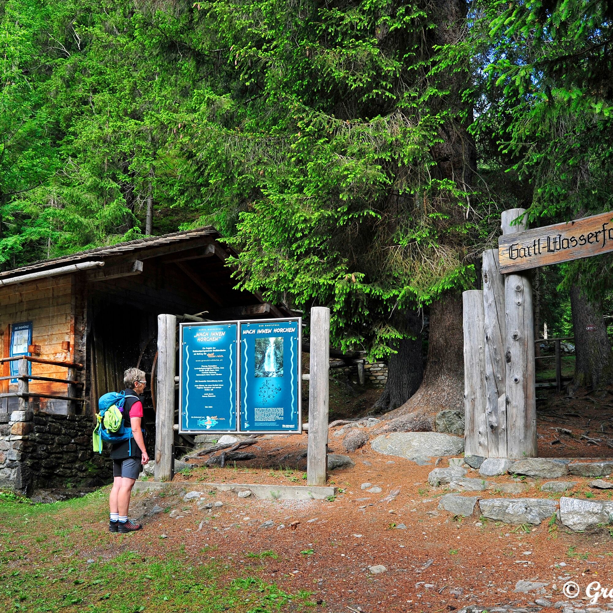
The Gartlwasserfall near Großkirchheim
The Gartlwasserfall is characterized by a special microclimate of finely atomized, electrically charged water droplets. Nature is usually the place where we can replenish our energy reserves. Such an energy-charged...
The Gartlwasserfall is characterized by a special microclimate of finely atomized, electrically charged water droplets. Nature is usually the place where we can replenish our energy reserves. Such an energy-charged place is the Gartlwasserfall – a platform to pause and meditate while the roar of the falling water forms the only soundscape.
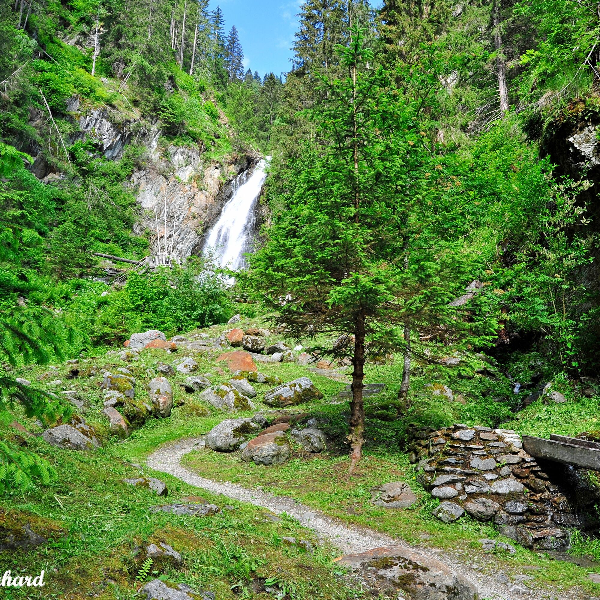
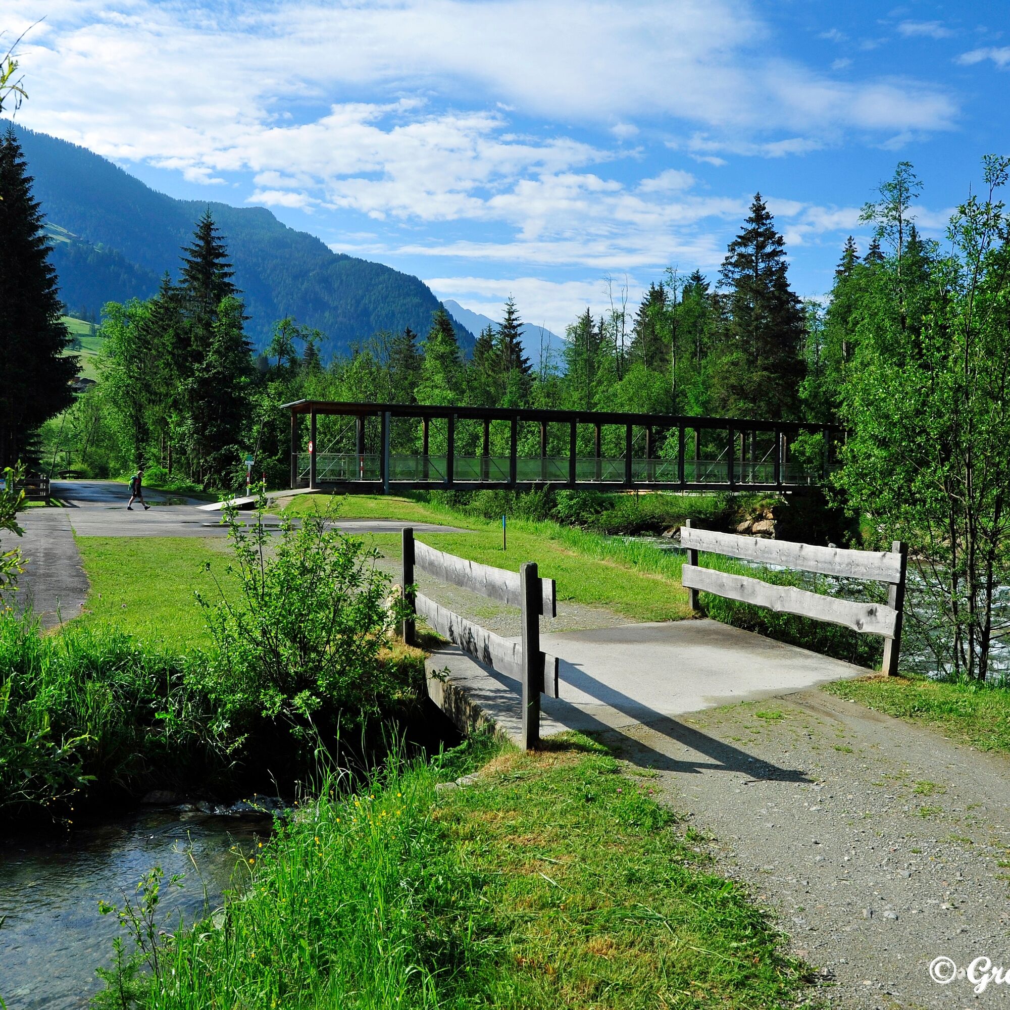
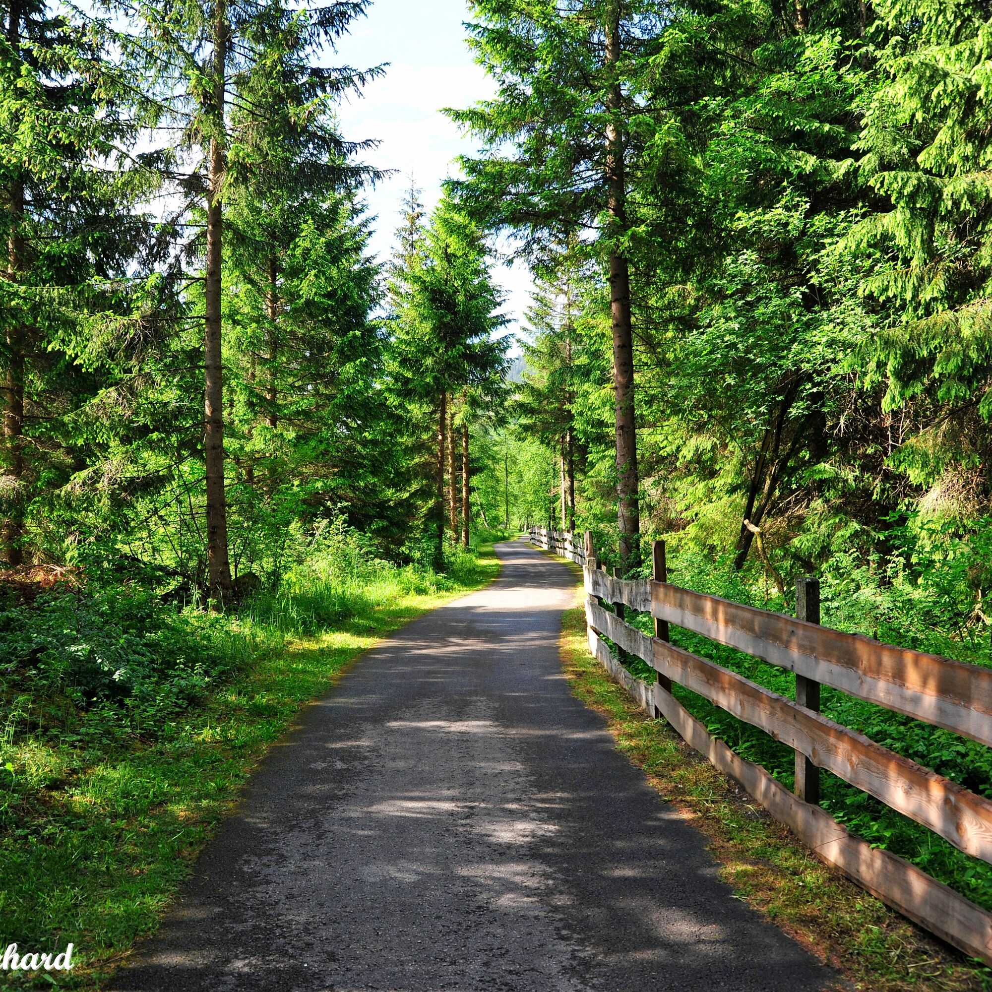
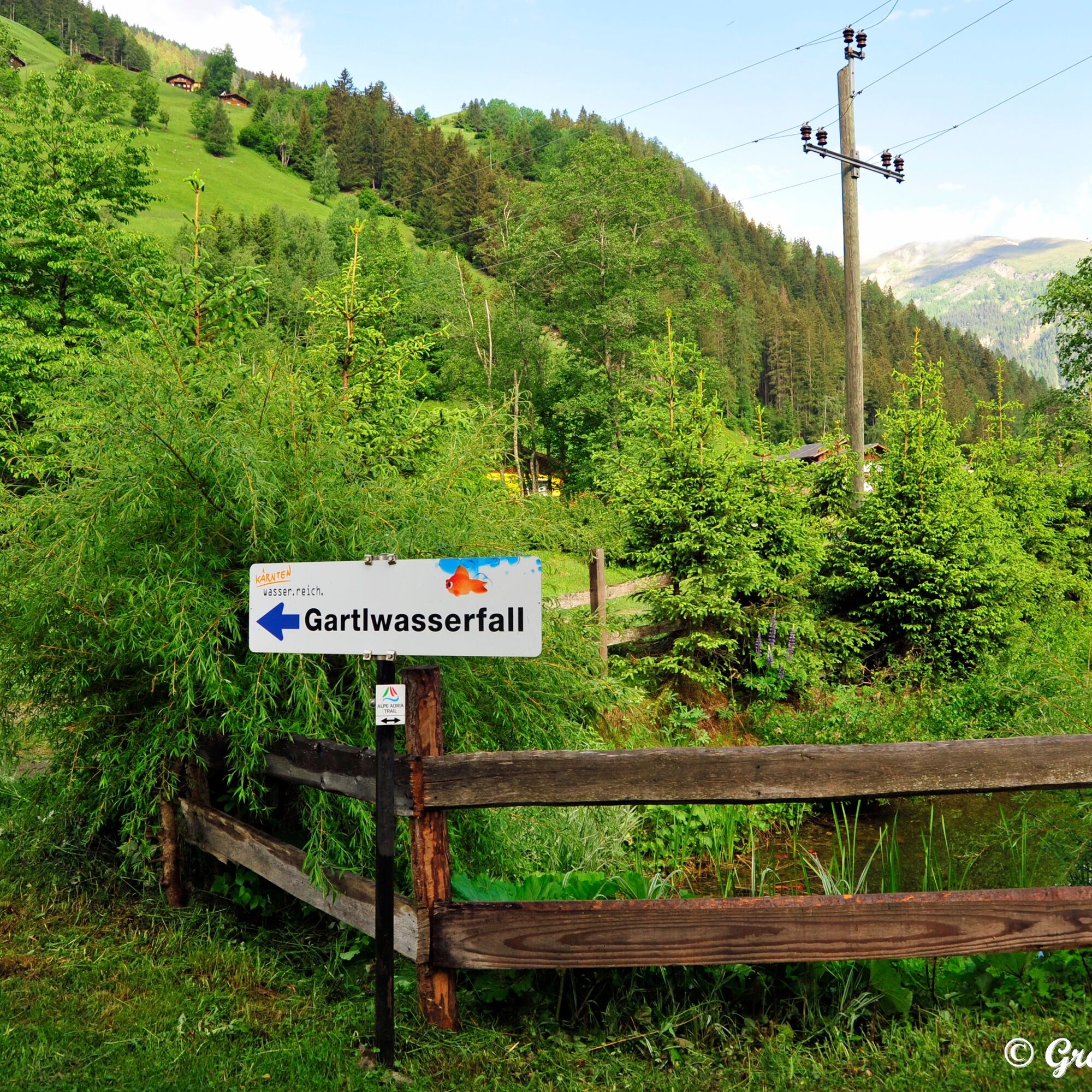
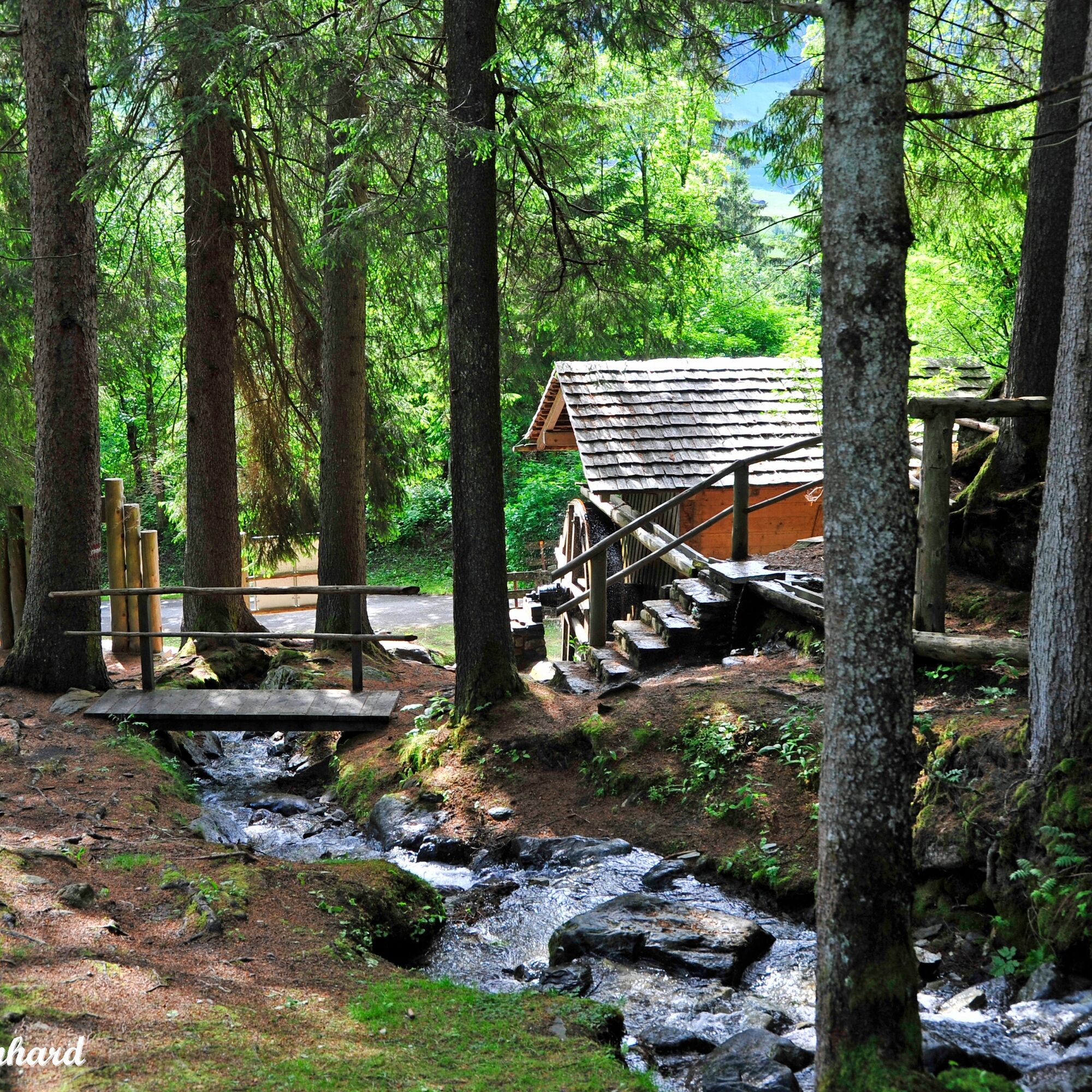
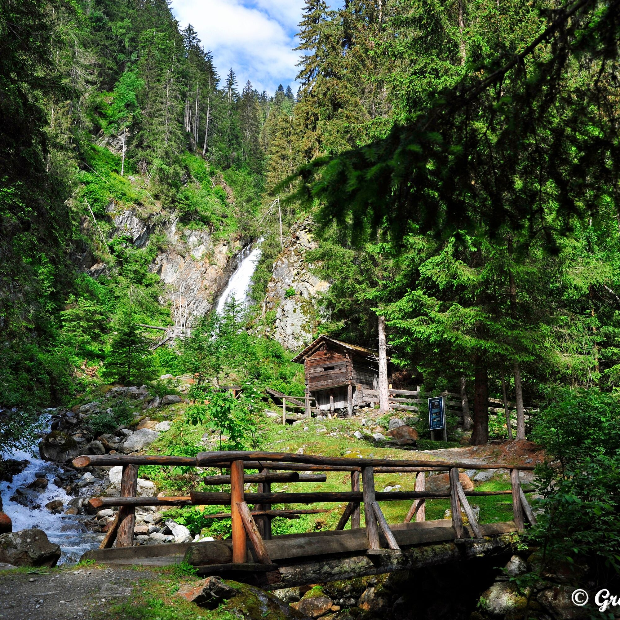
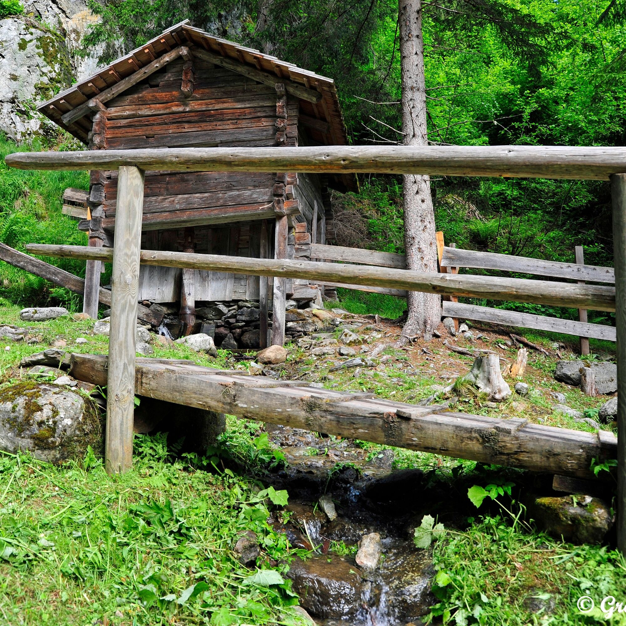
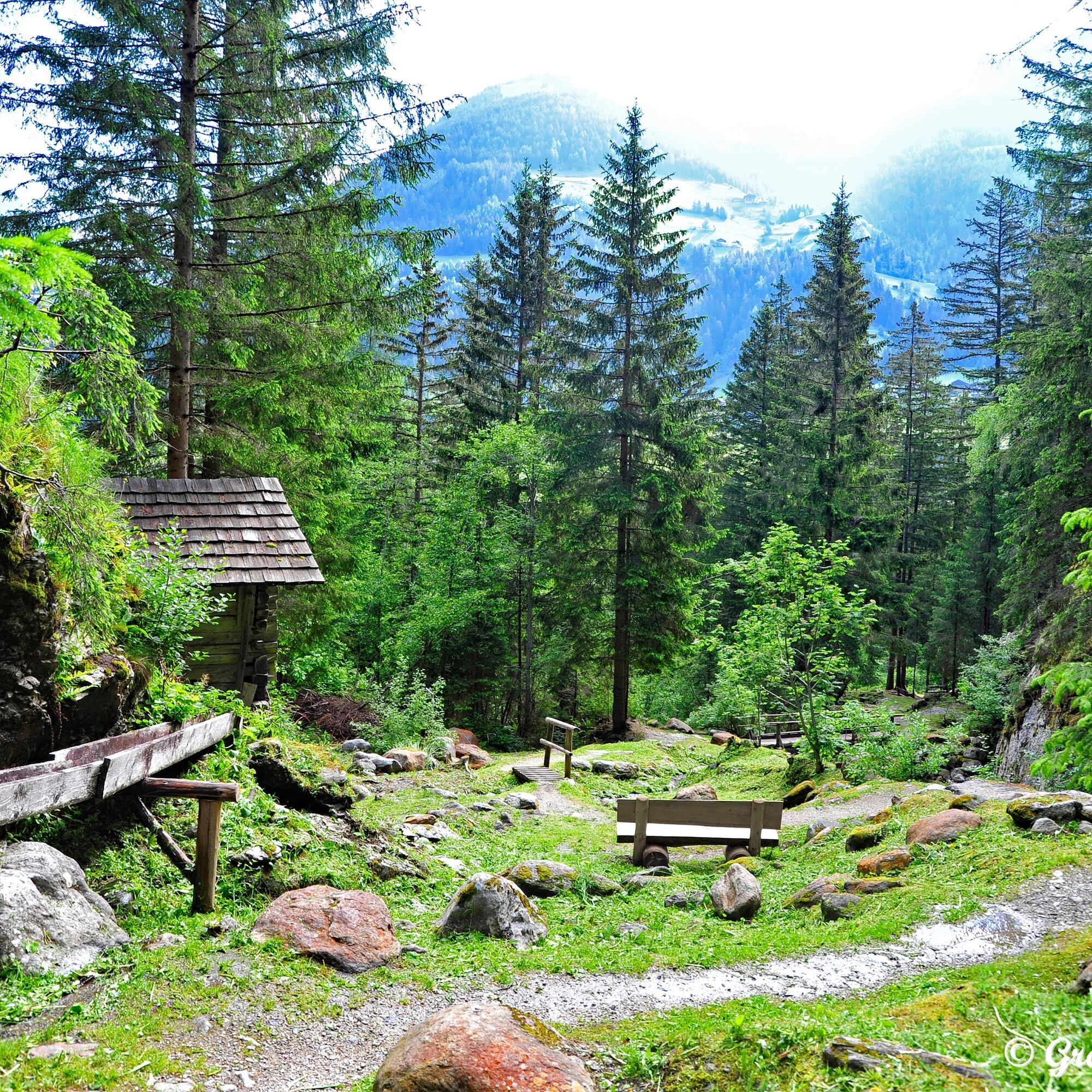
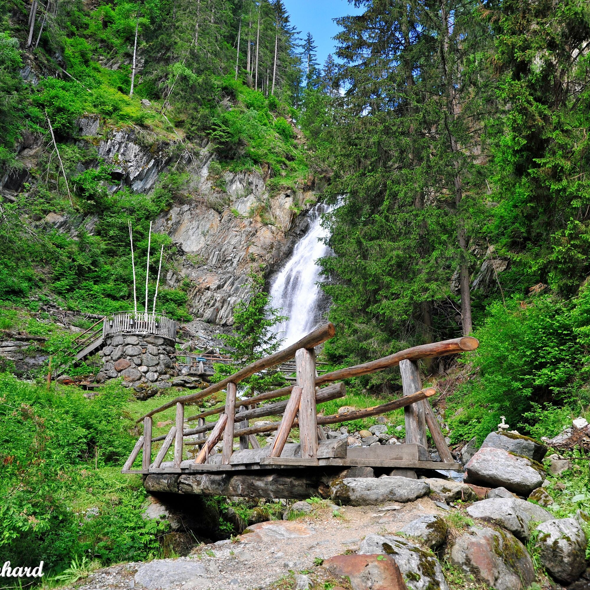
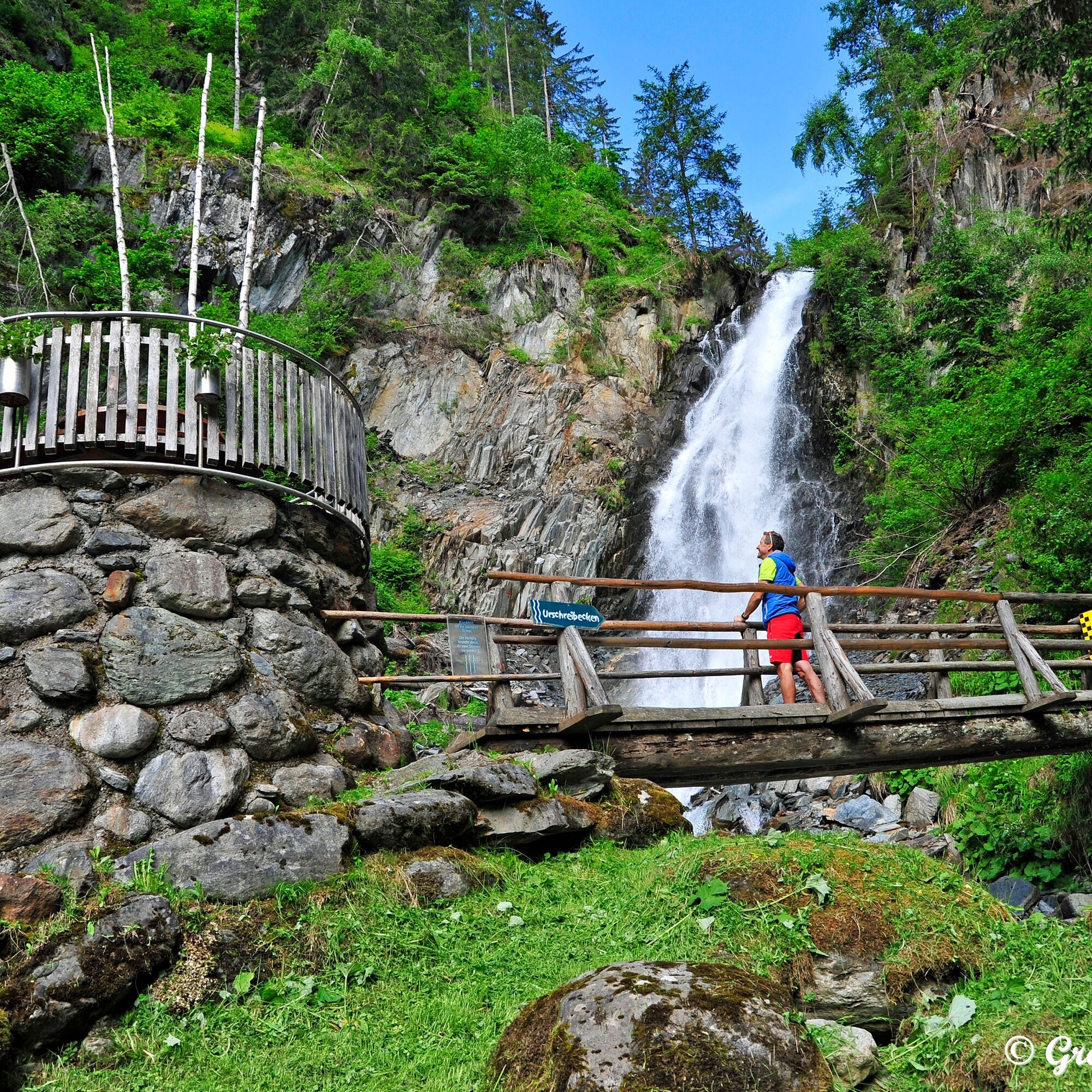
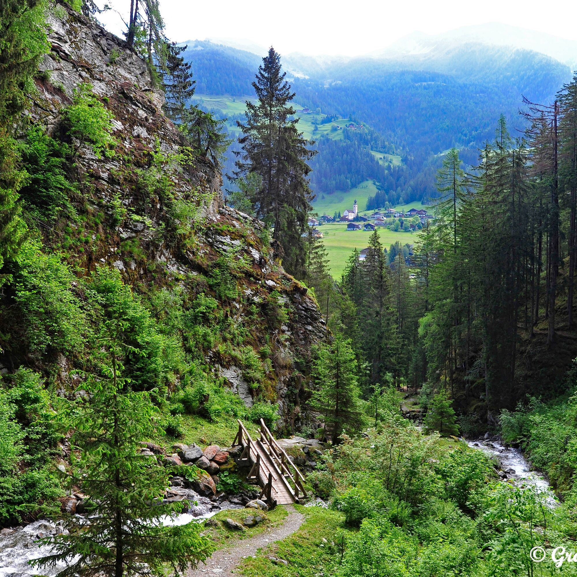
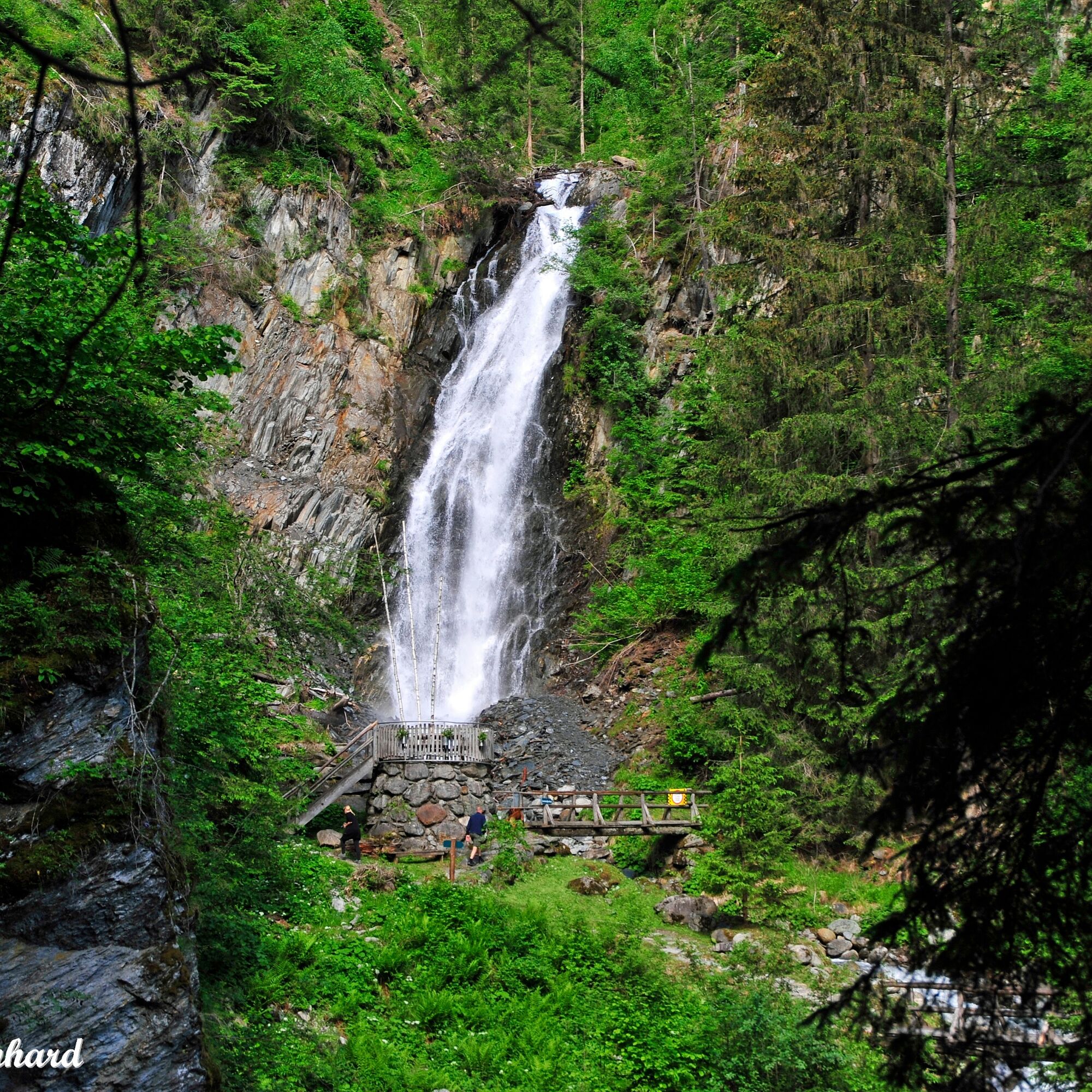
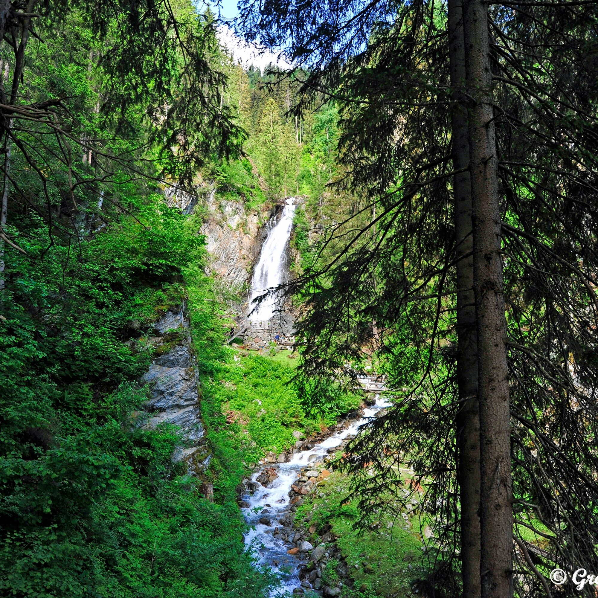
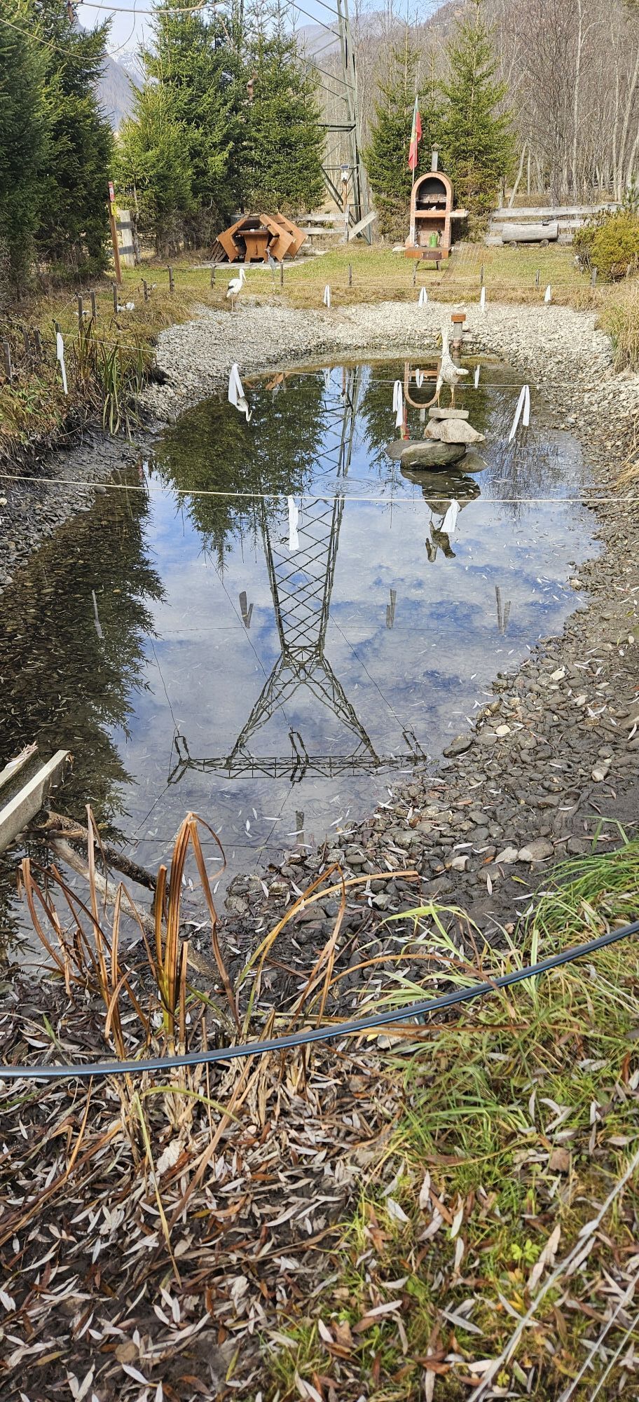
Starting from the district of Döllach, crossing the Möll over the bridge below the sports and leisure facility Großkirchheim, you will soon see the inviting entrance portal to the waterfall. Follow the path to the viewing platform and further to the Urschreibecken. The return route is the same.
Ano
Ano
Ano
Good, stable, and non-slip footwear as well as warm clothing on shady days are recommended.
Watch out for slippery spots!
From Winklern or Heiligenblut on the Mölltal federal road to Döllach (municipality of Großkirchheim)
Döllach (district of Großkirchheim) is served several times daily by public buses on the Spittal-Winklern-Heiligenblut line.
Parking spaces in Döllach
The slightly more extensive Gartl loop can score points with special scenic beauty.

Oblíbené prohlídky v okolí
- 4.9
Wangennitzsee Hütte
středníTuristika 3.80 km - 4.7
Geotrail Tauernfenster
světloTuristika 5.90 km - 4.7
Hohe Sonnblick Up
heavyTuristika 9.14 km - 4.7
Glödis 3206m: PP Seichenbrunn, Lienzer Hütte, Glödis KS A/B
heavyVysokohorská turistika 16.1 km - 4.5
Niedersachsenhaus
středníTuristika 4.84 km - 4.0
Böses Weibele, 3119m, Lucknerhaus
heavyTuristika 13.8 km - 4.1
Gradental to Adolf Nossberger Hut - circular route
středníTuristika 11.1 km - 4.9
Schareck über Ostgrat
heavyVysokohorská turistika 13.3 km - 4.1
Straßkopf
středníTuristika 4.06 km - 4.8
Hike to the Wangenitzsee Hut
středníTuristika 13.9 km
Pěší turistika a stopování


Nenechte si ujít nabídky a inspiraci pro vaši příští dovolenou
Vaše e-mailová adresa byl přidán do poštovního seznamu.