







Mohar

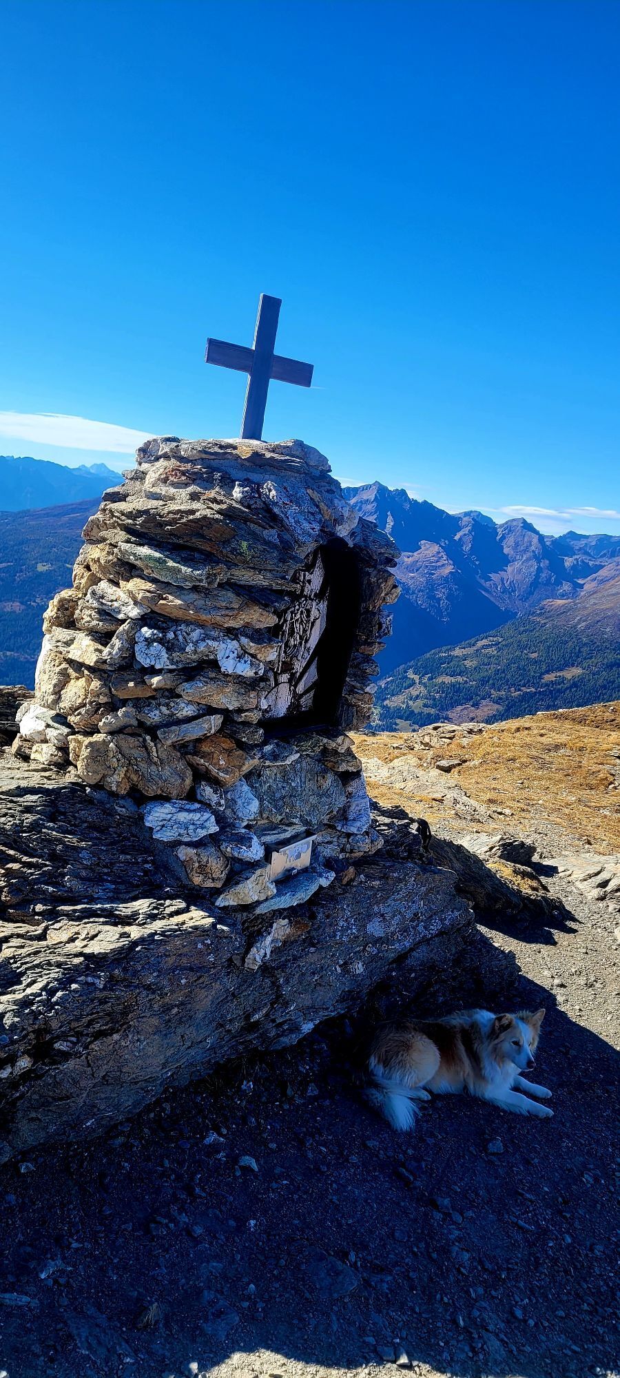
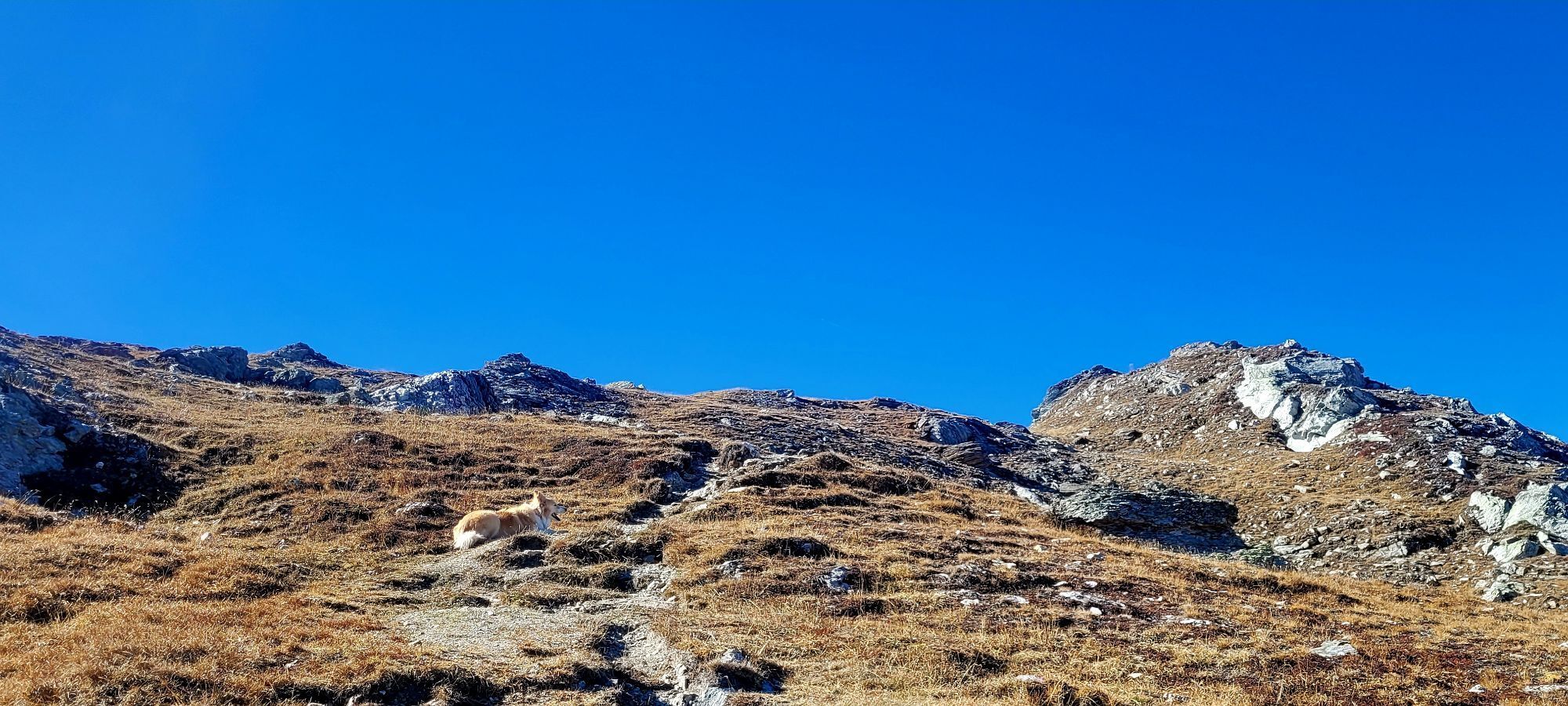
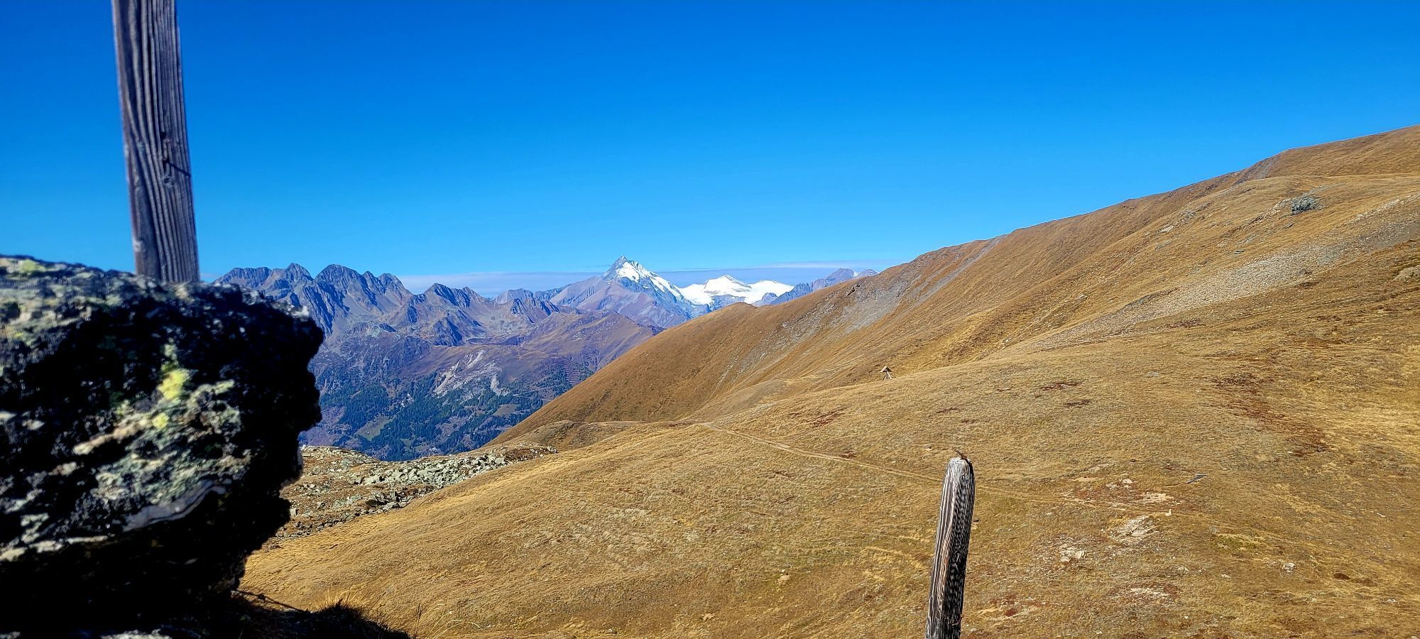
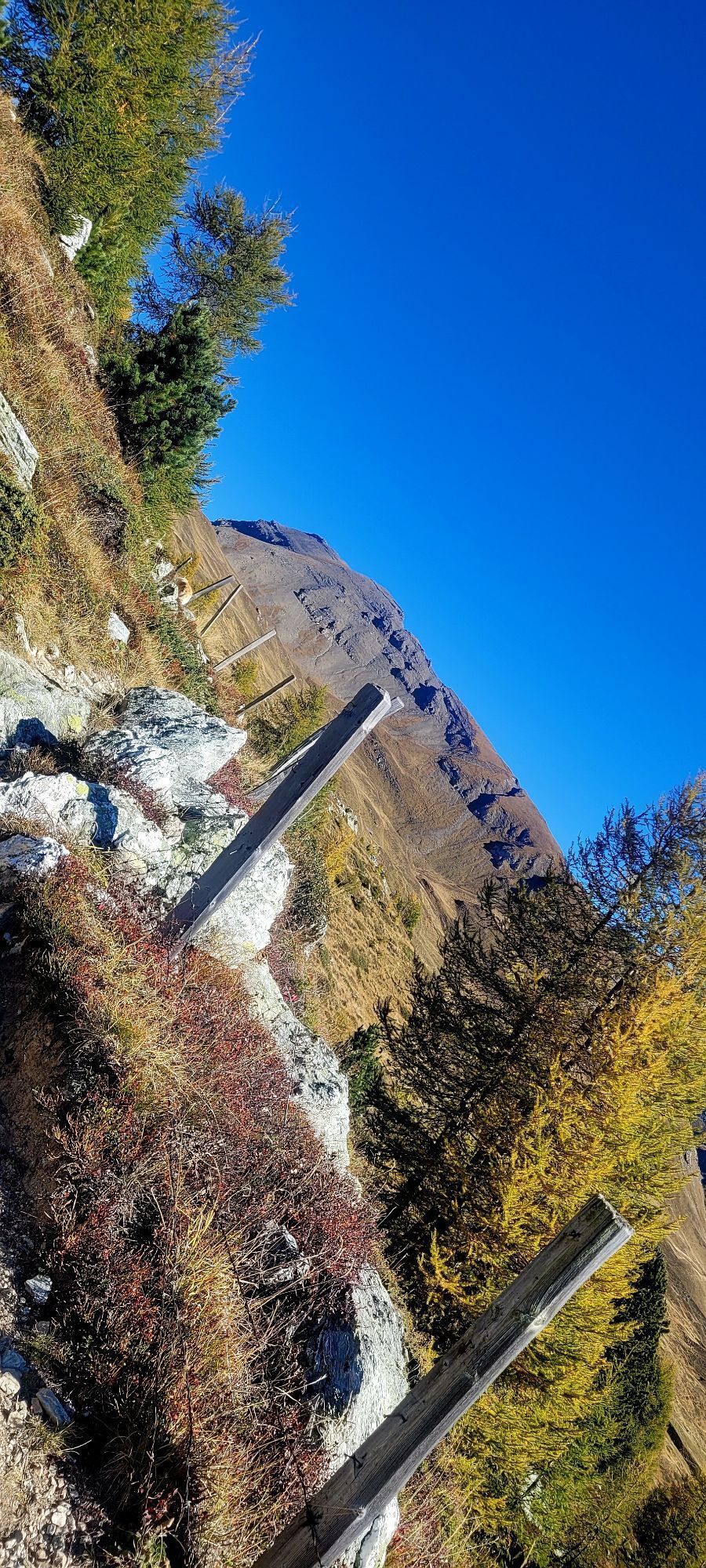
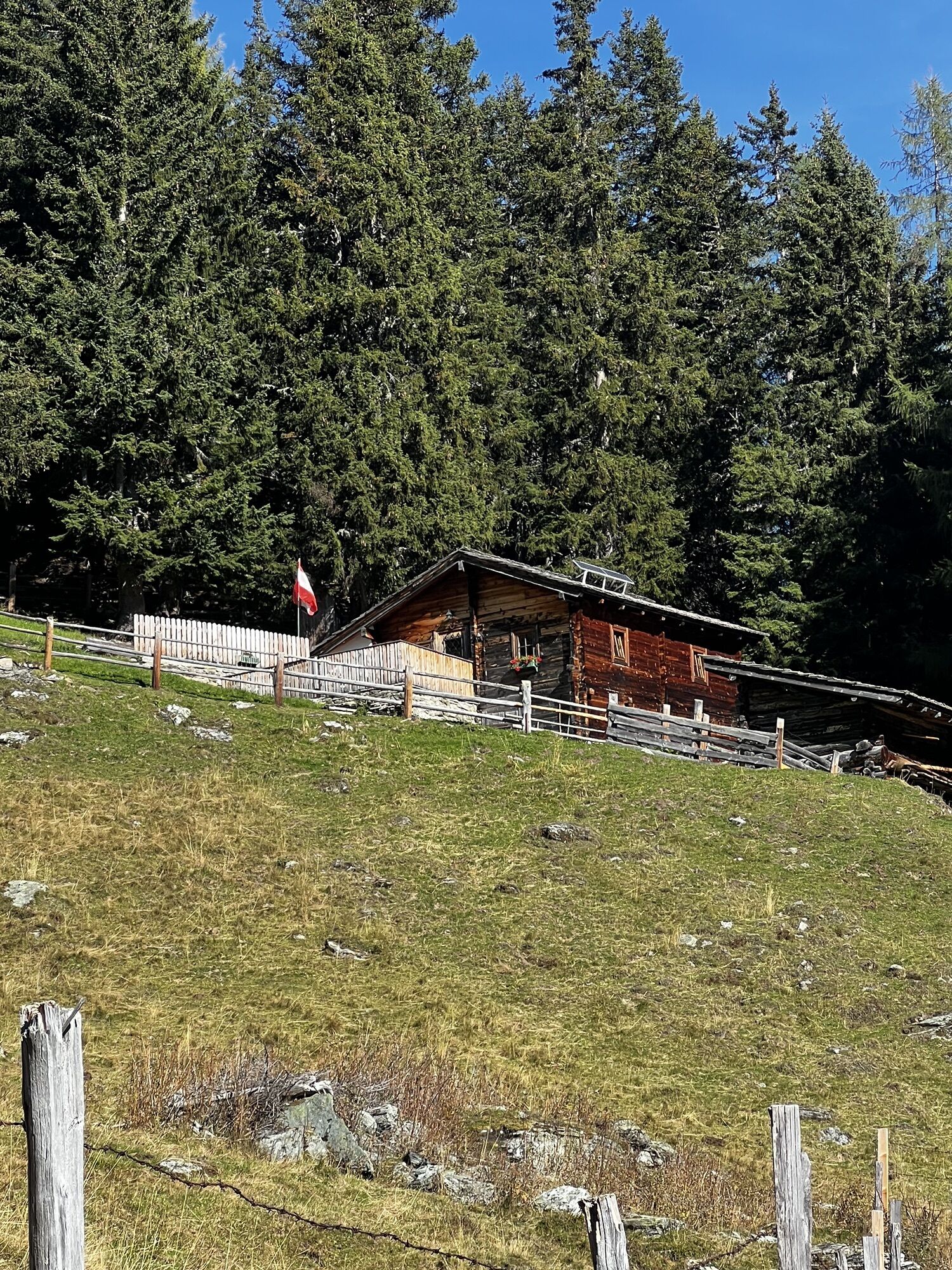
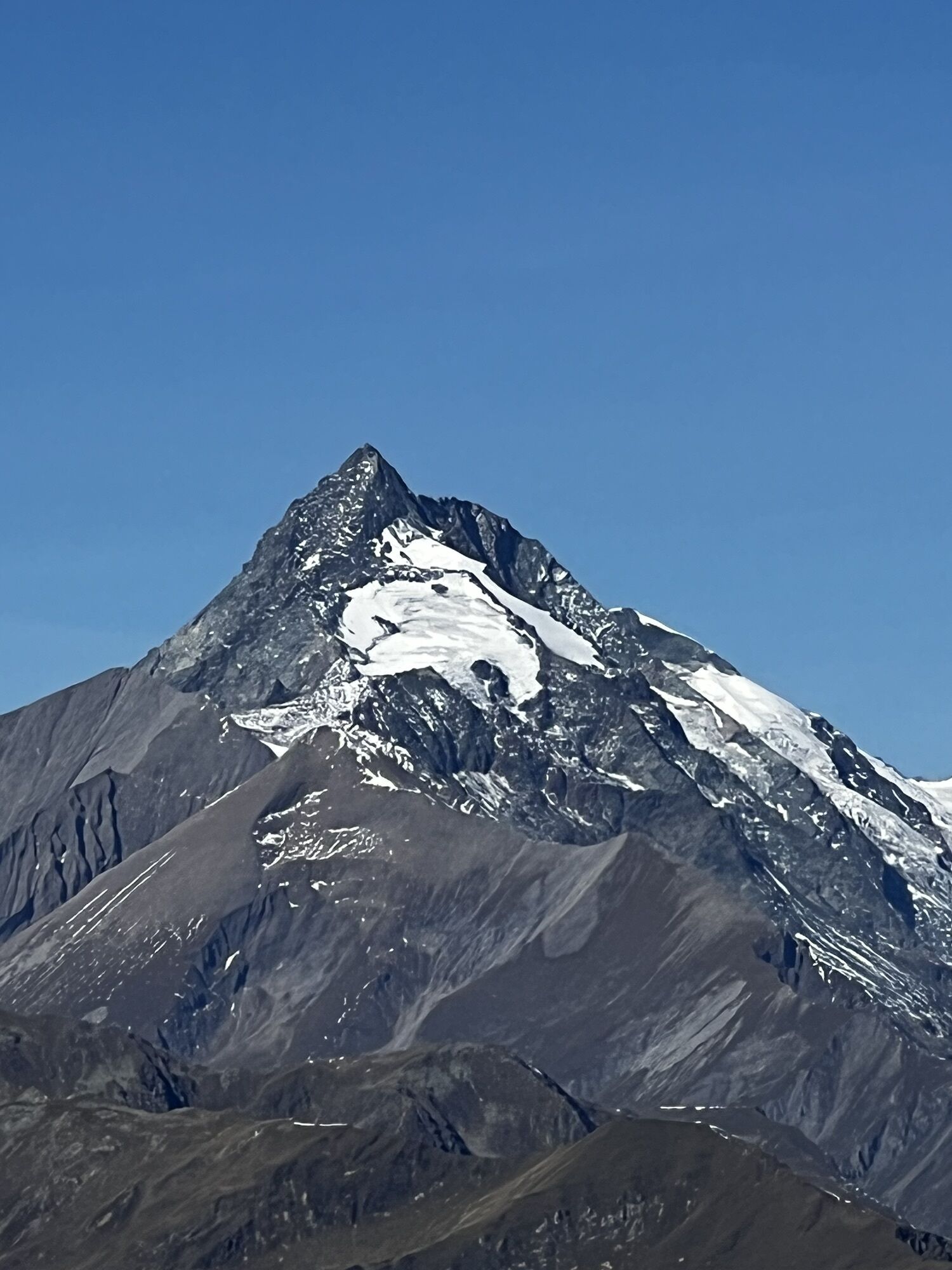
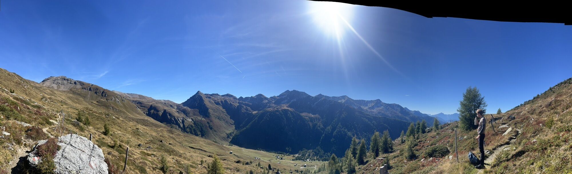
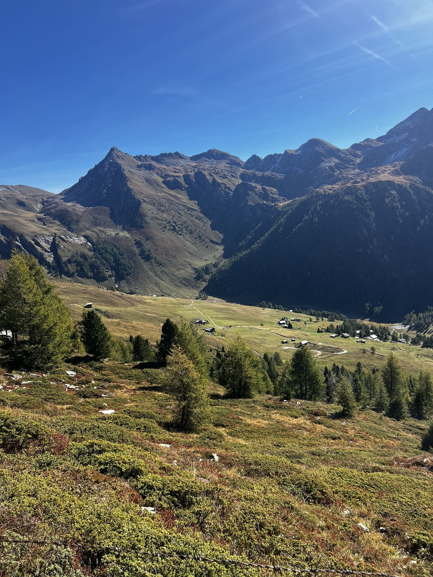
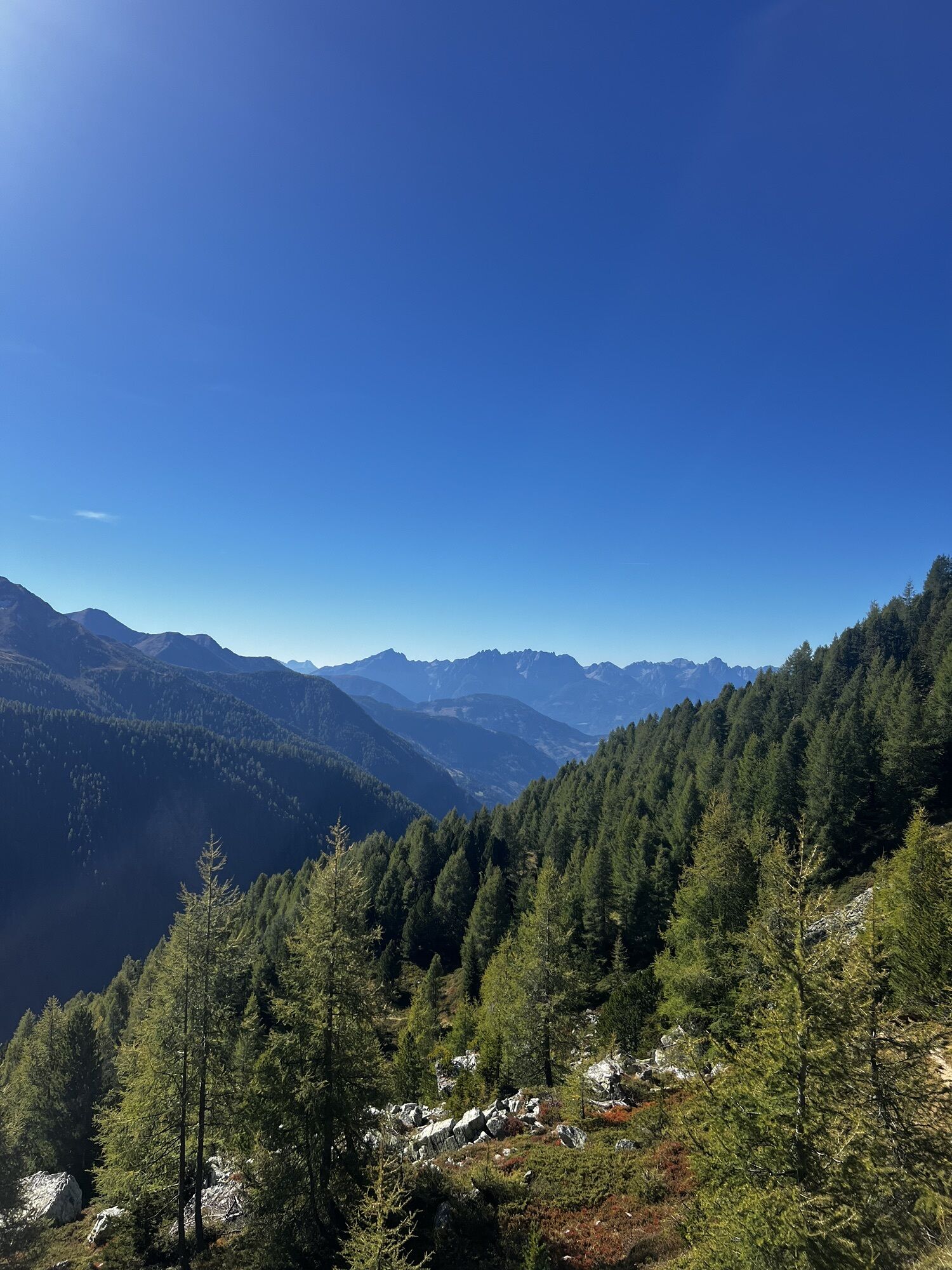
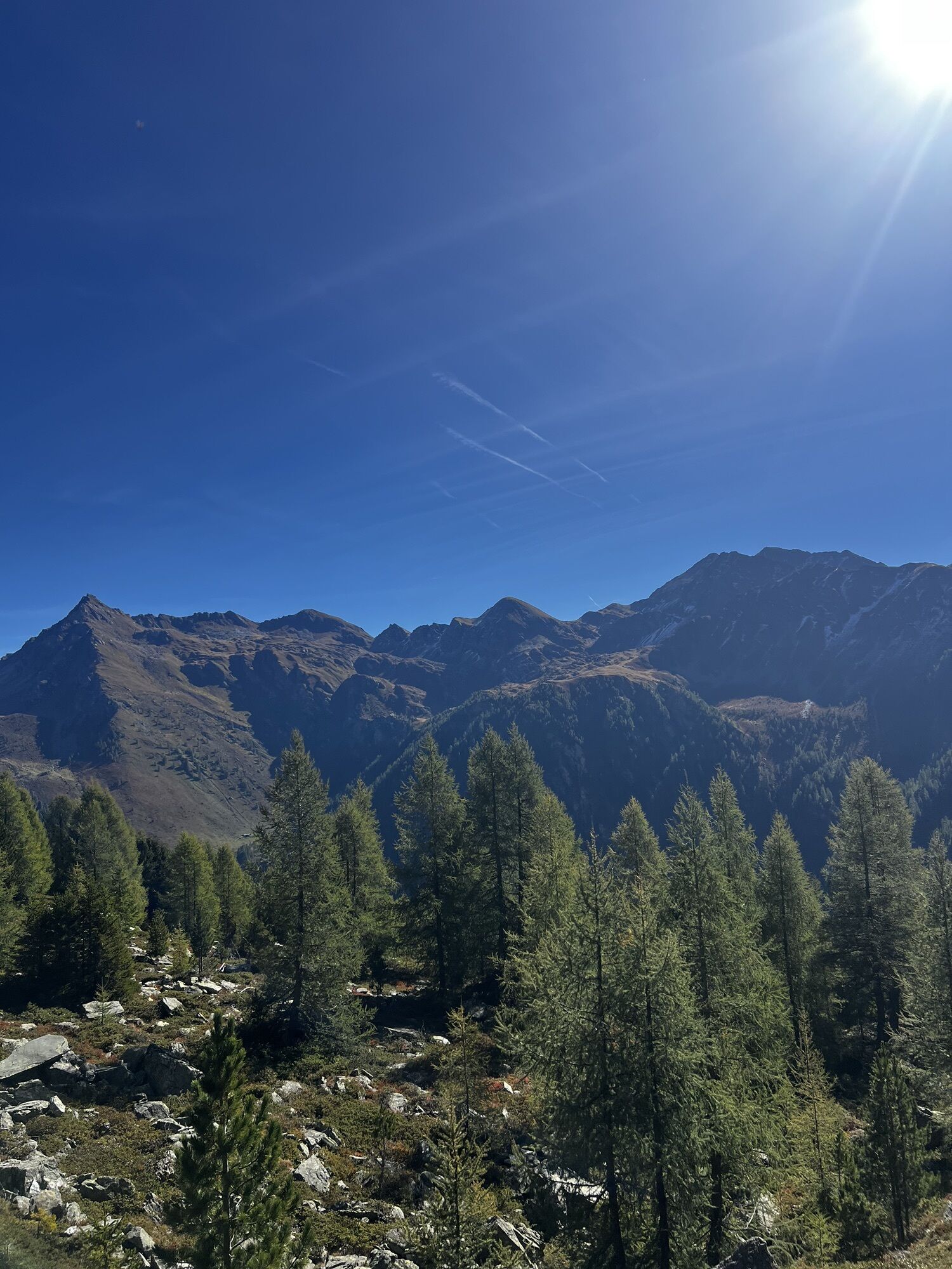
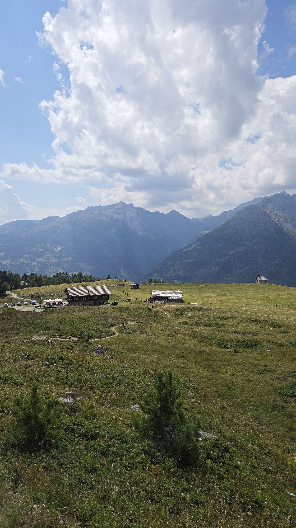
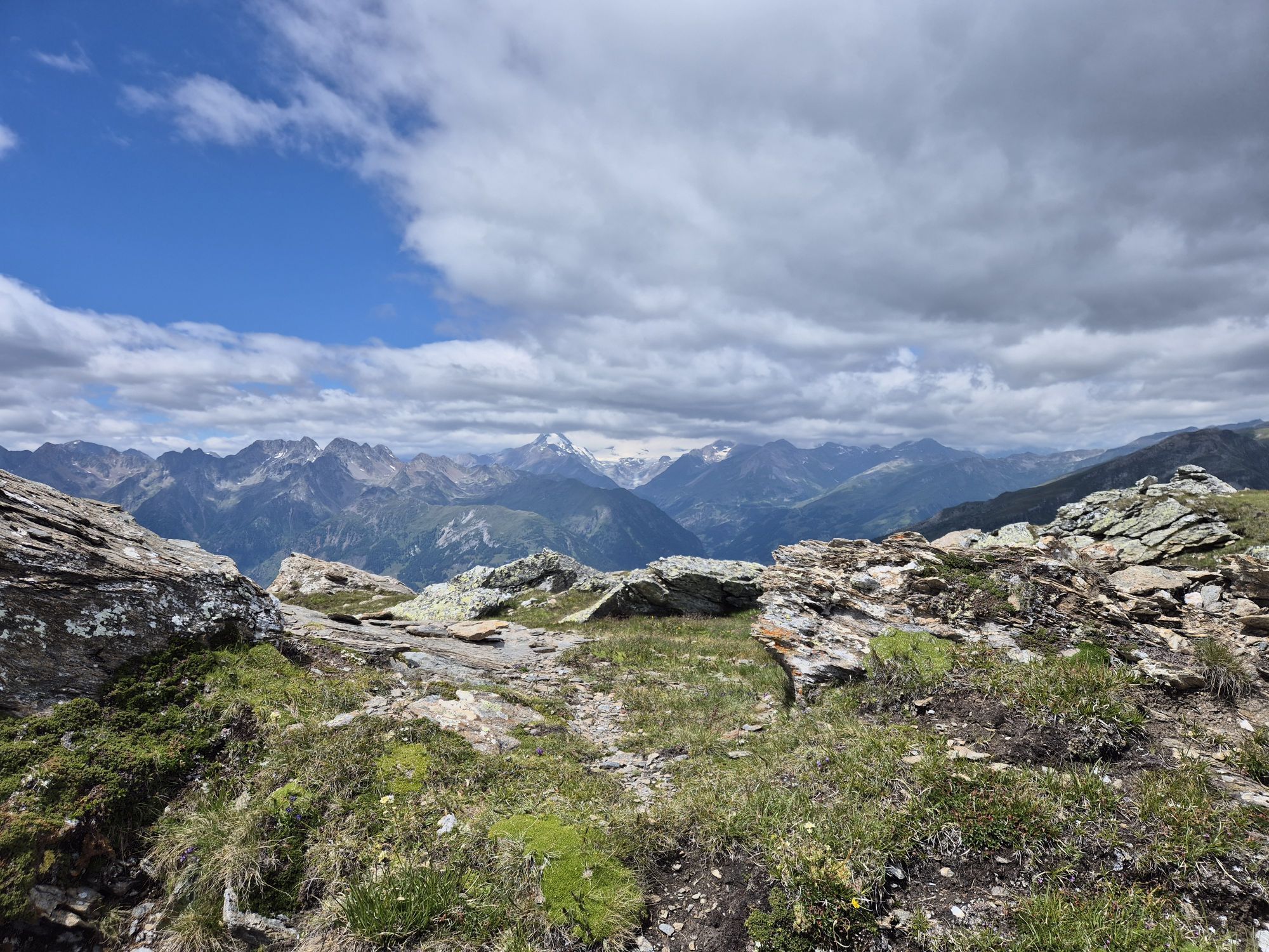
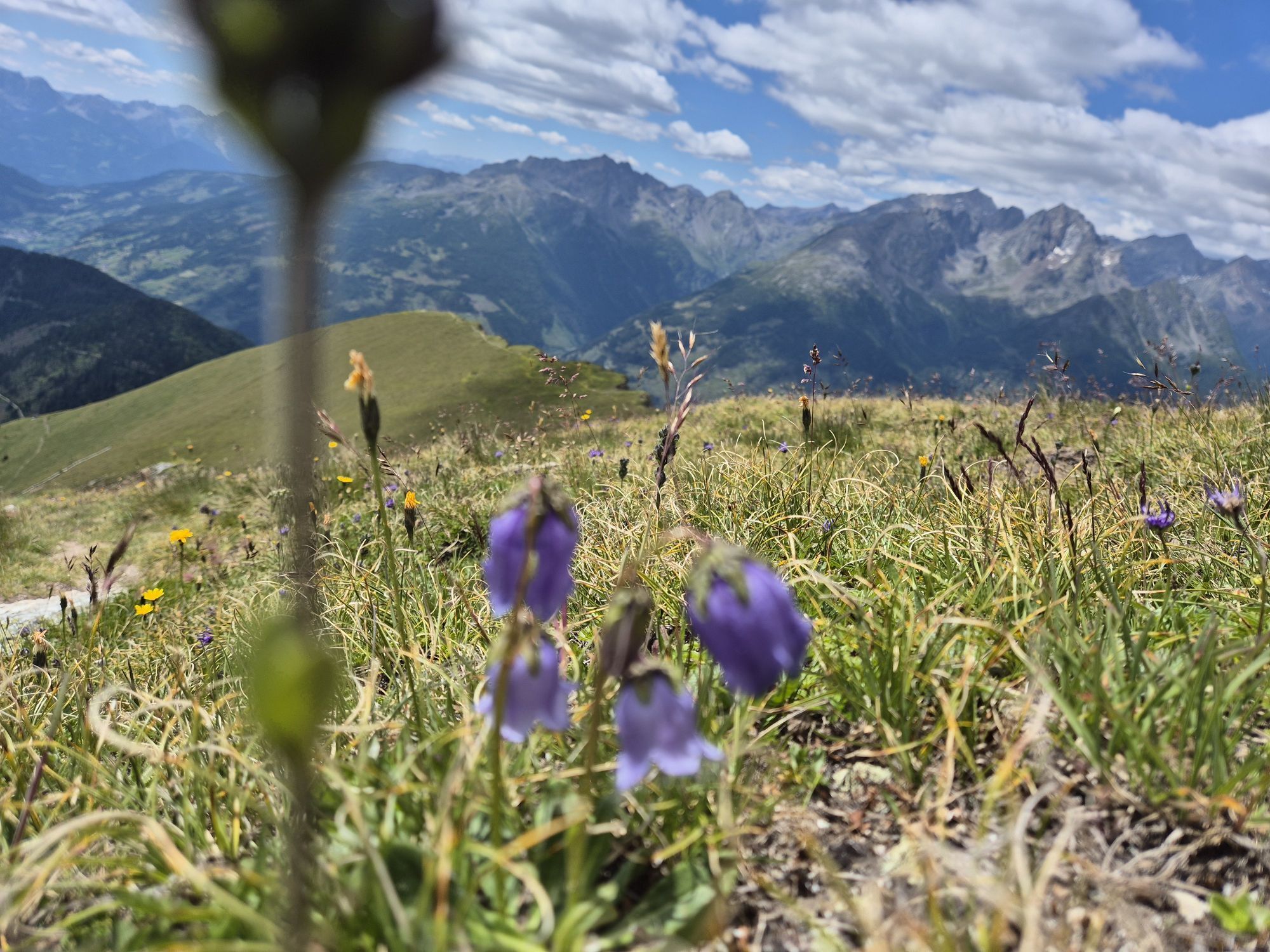
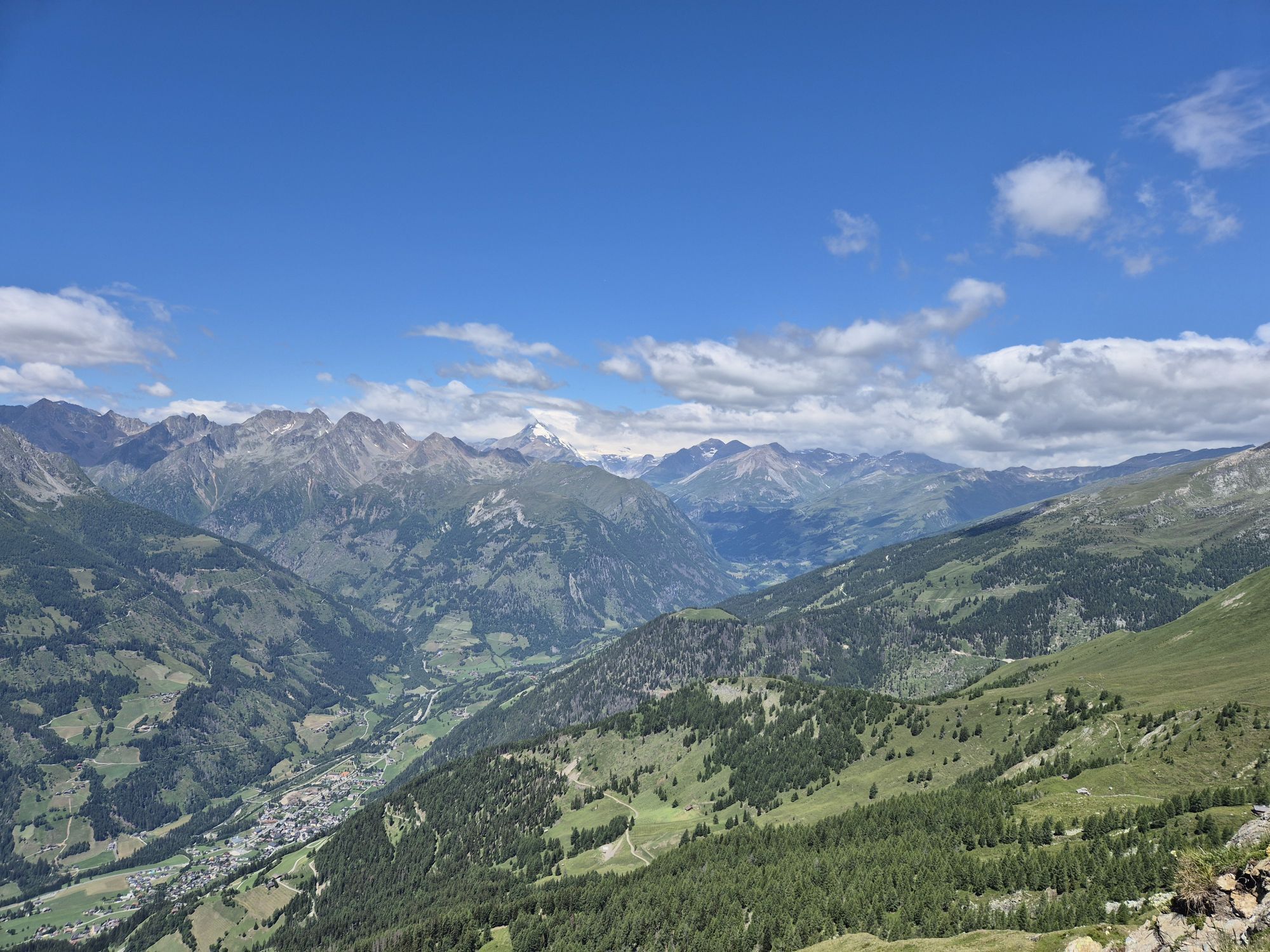
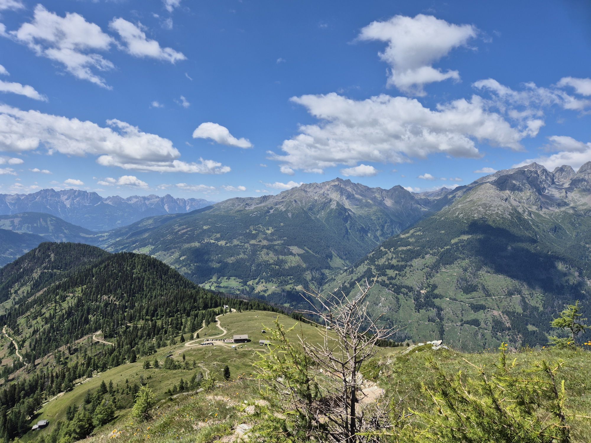
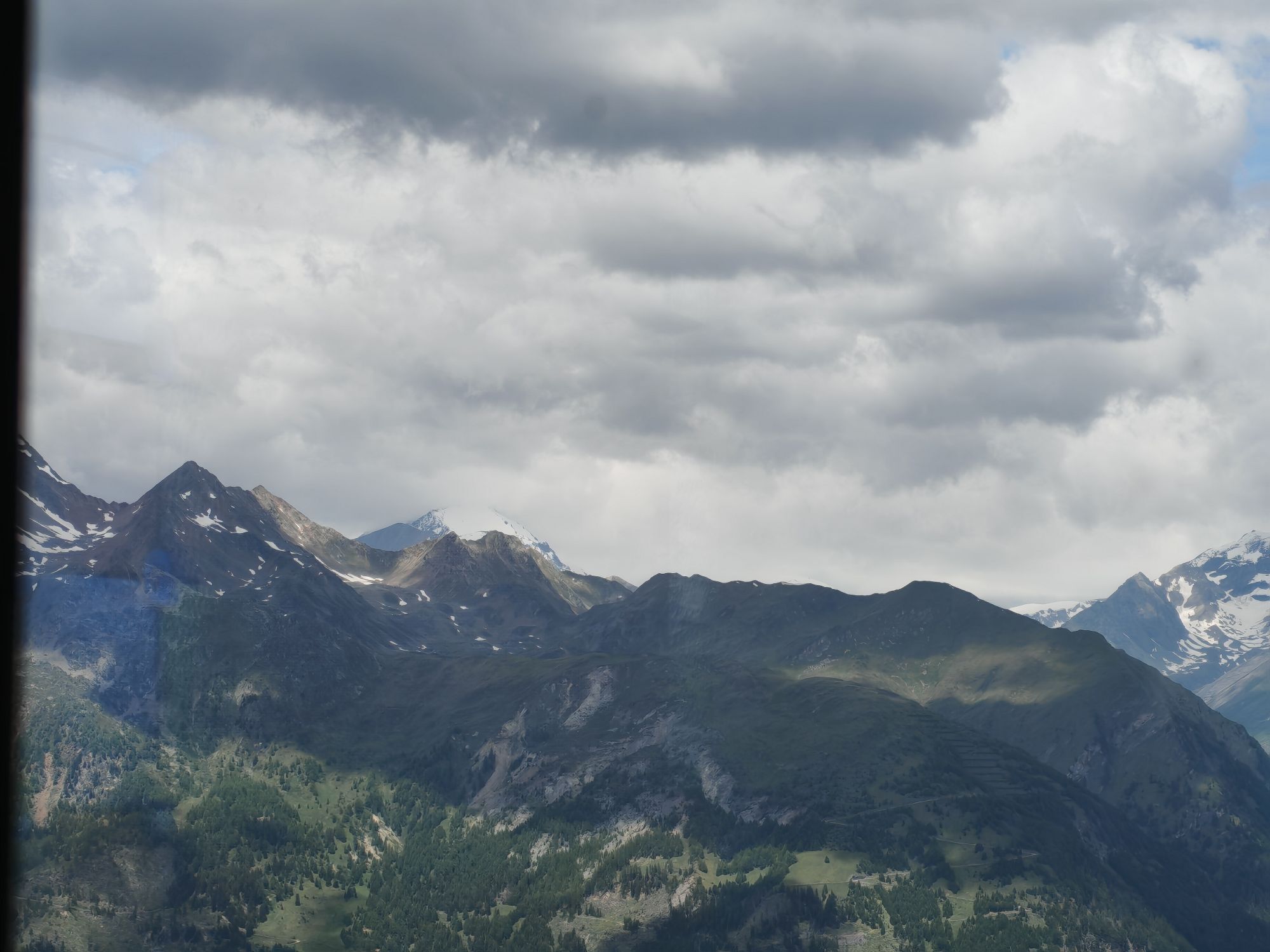
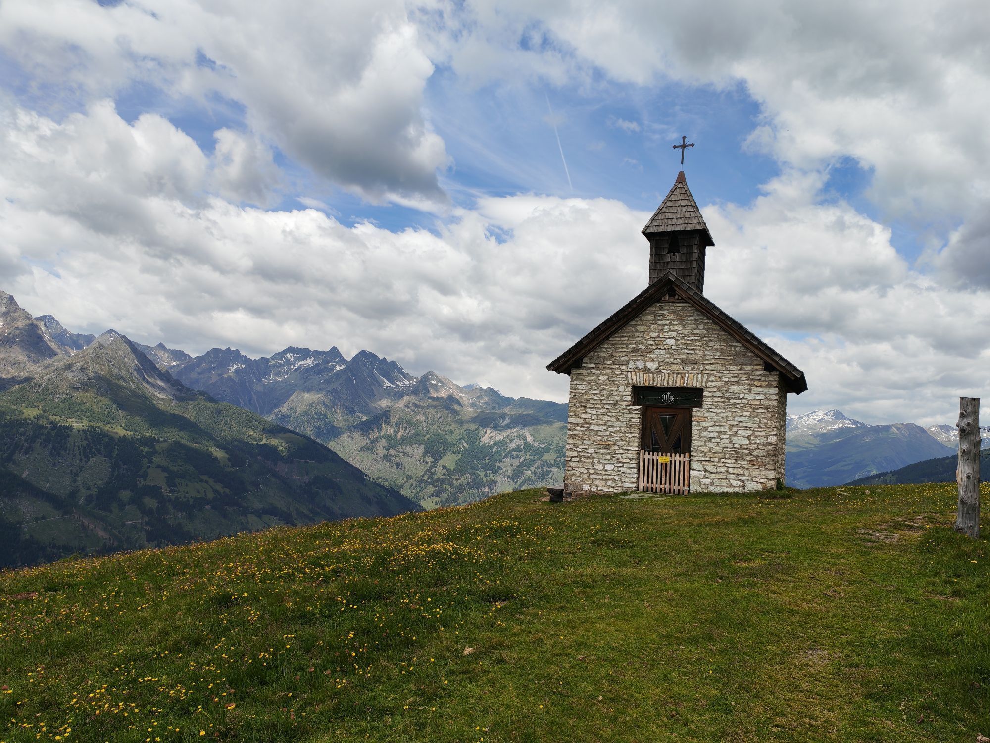
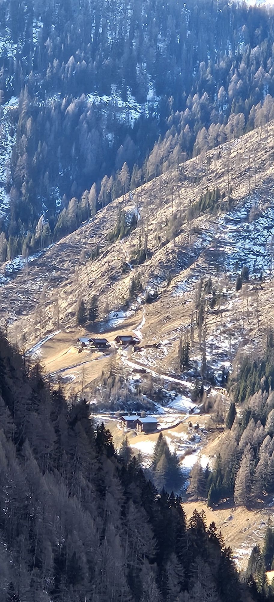
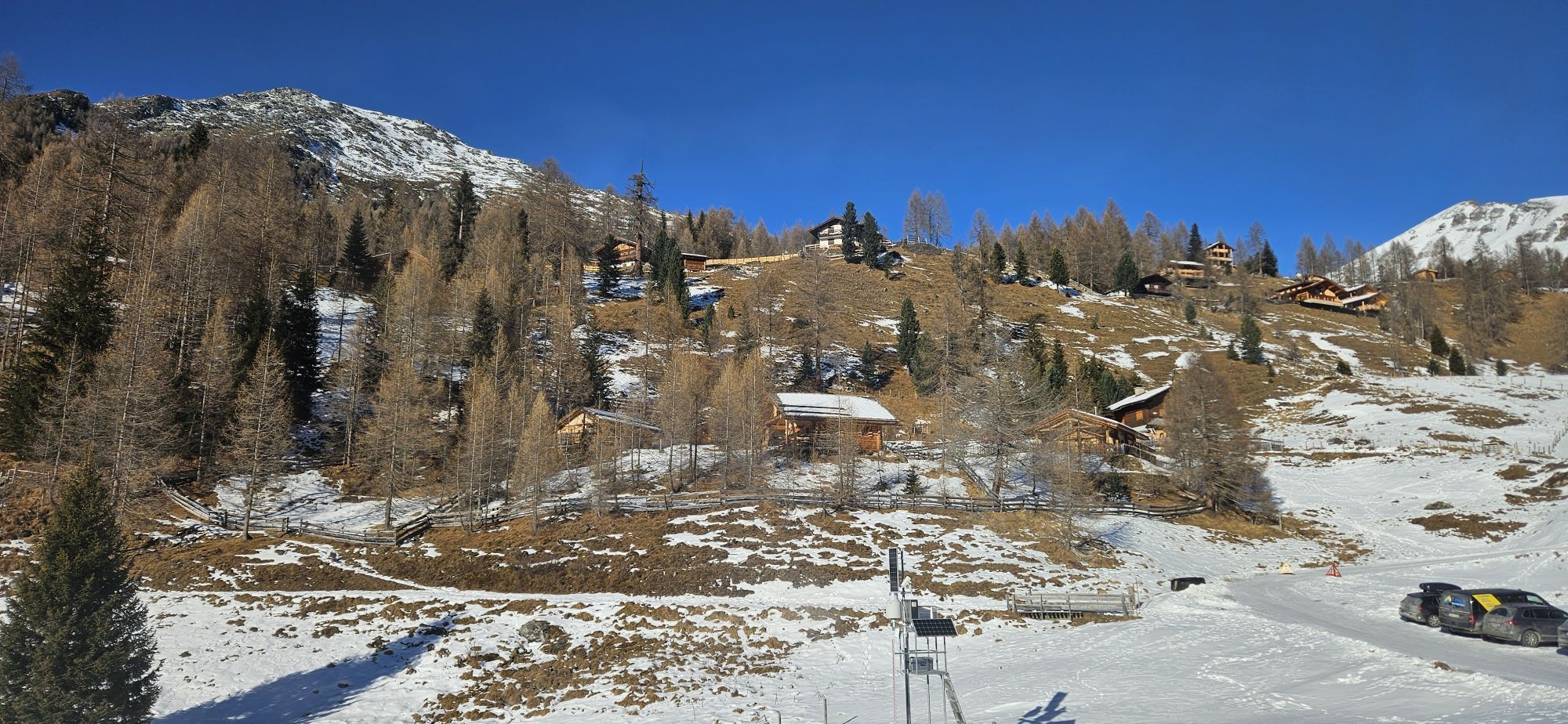
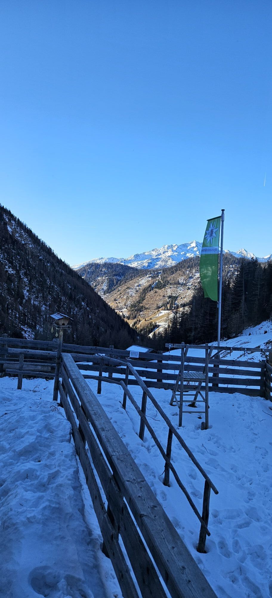
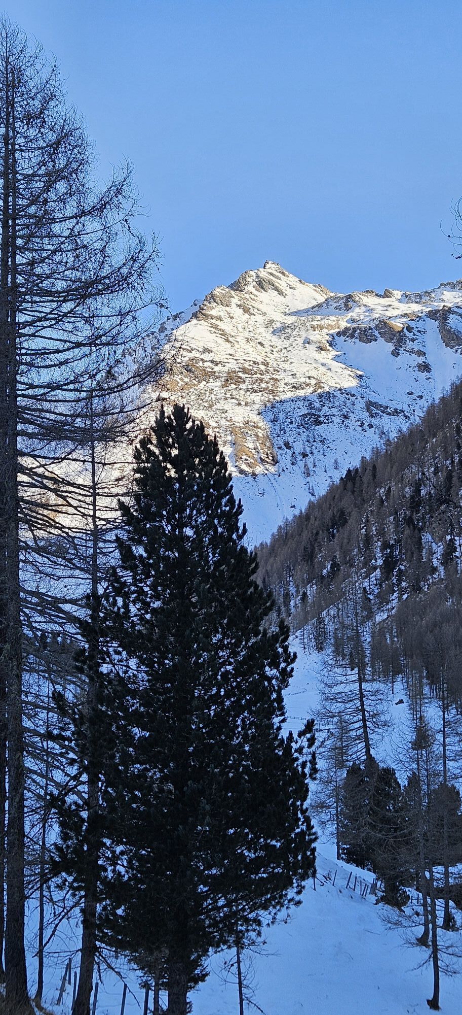
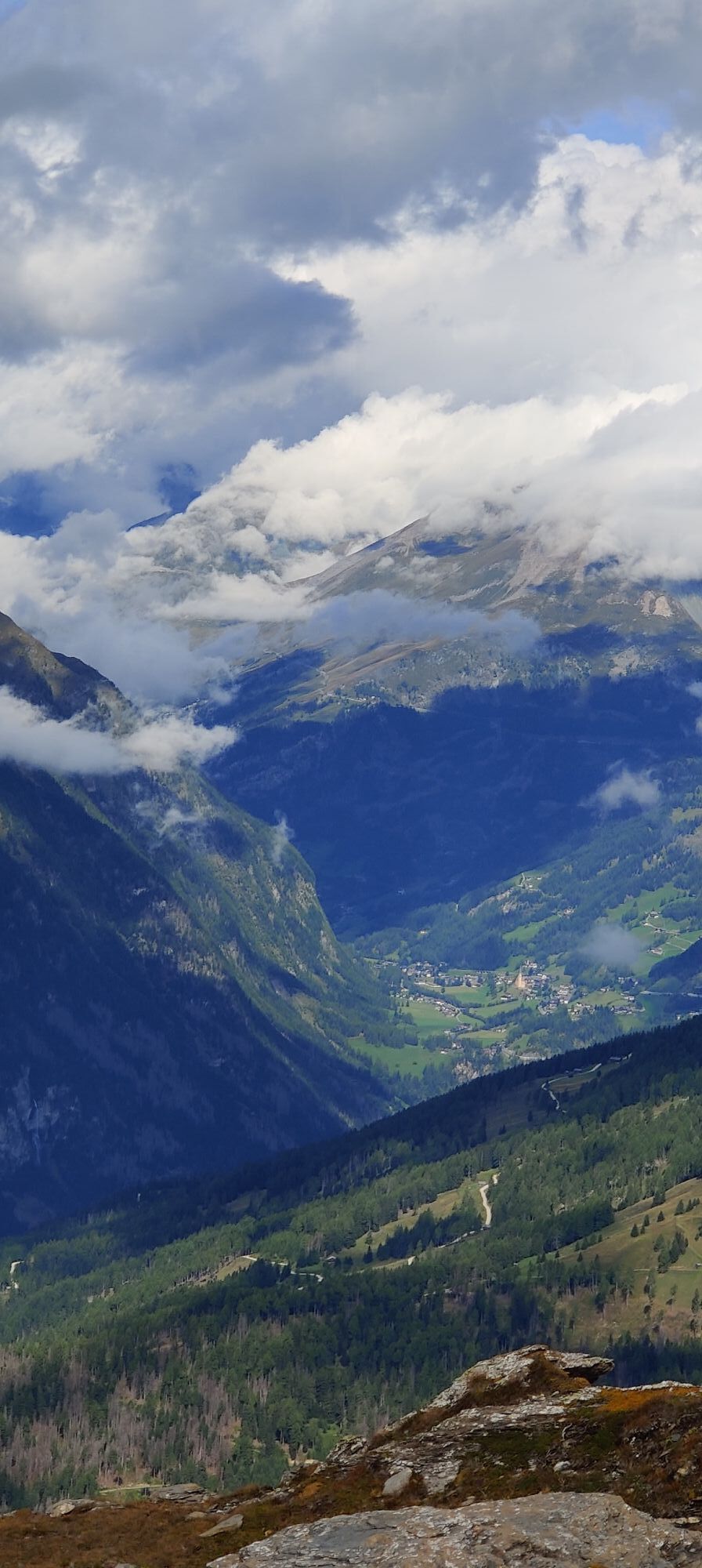

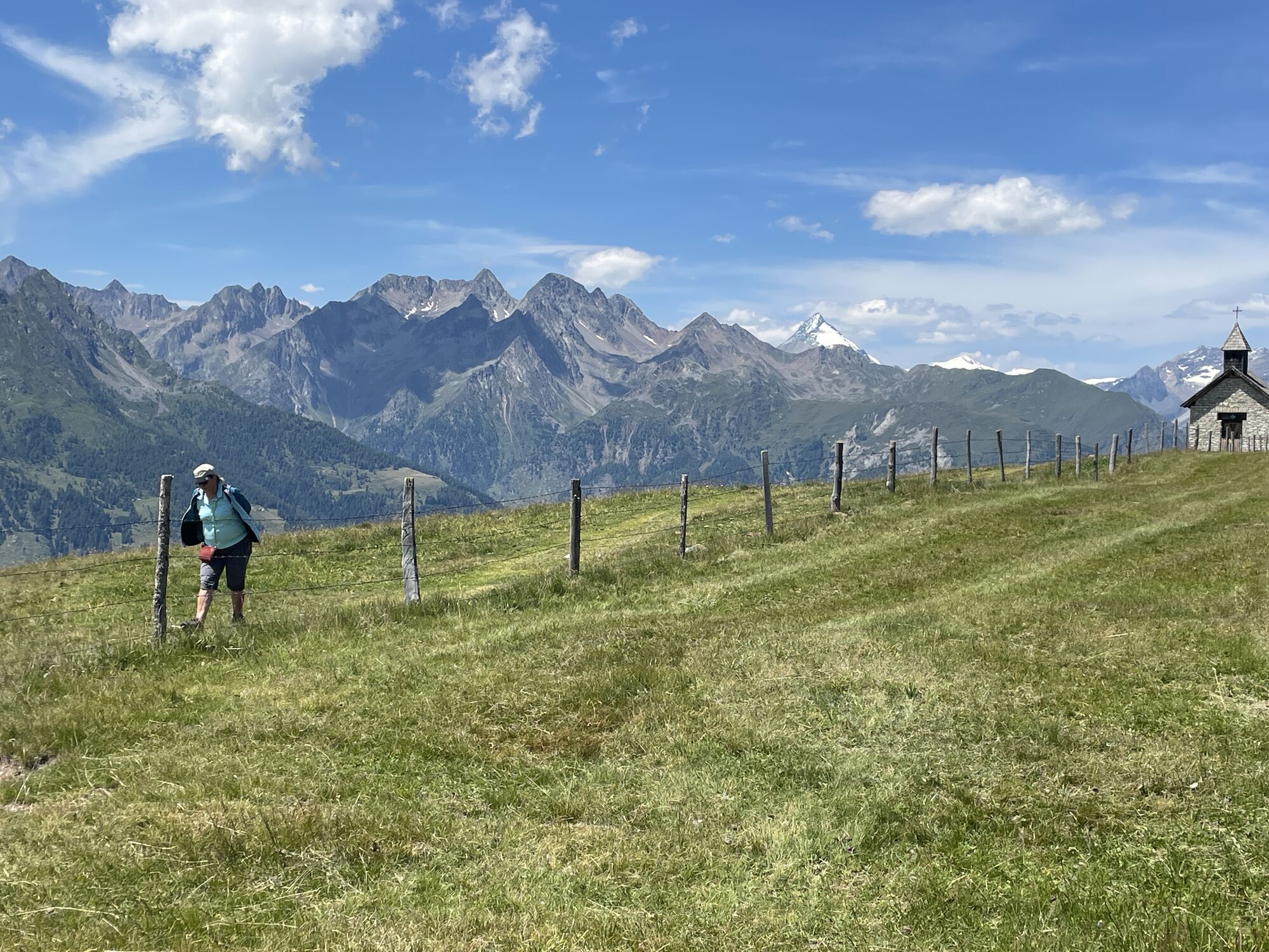
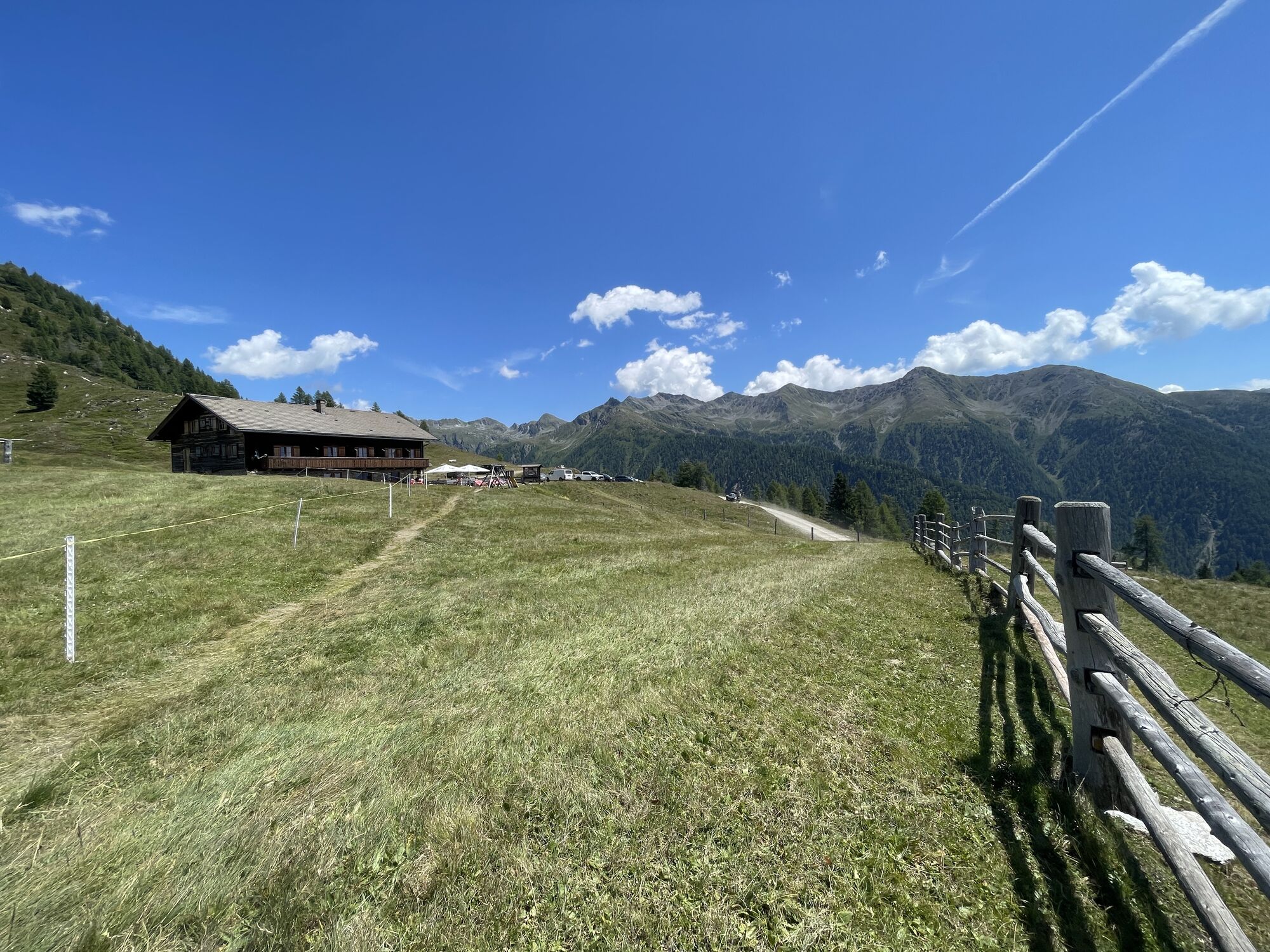
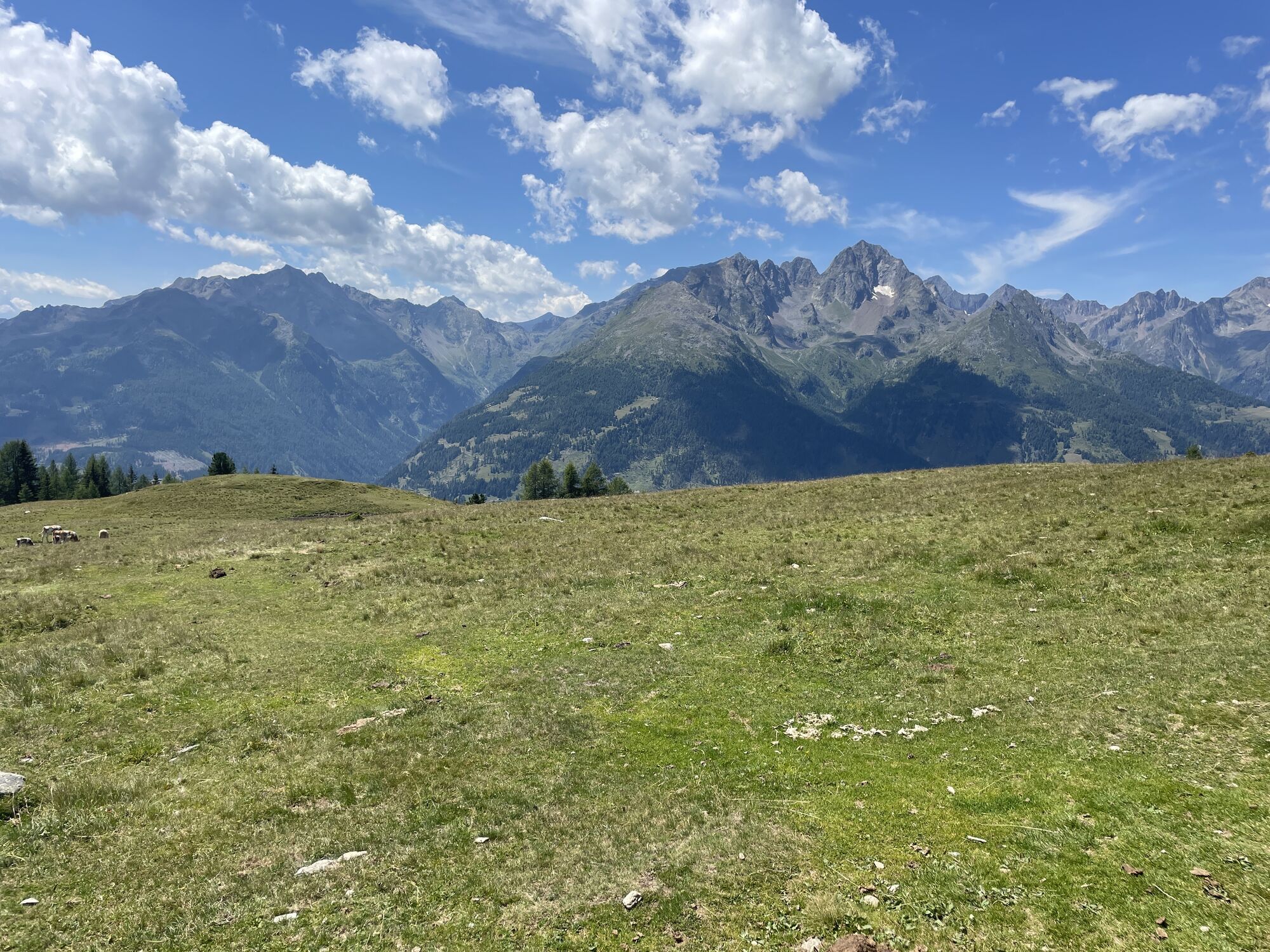
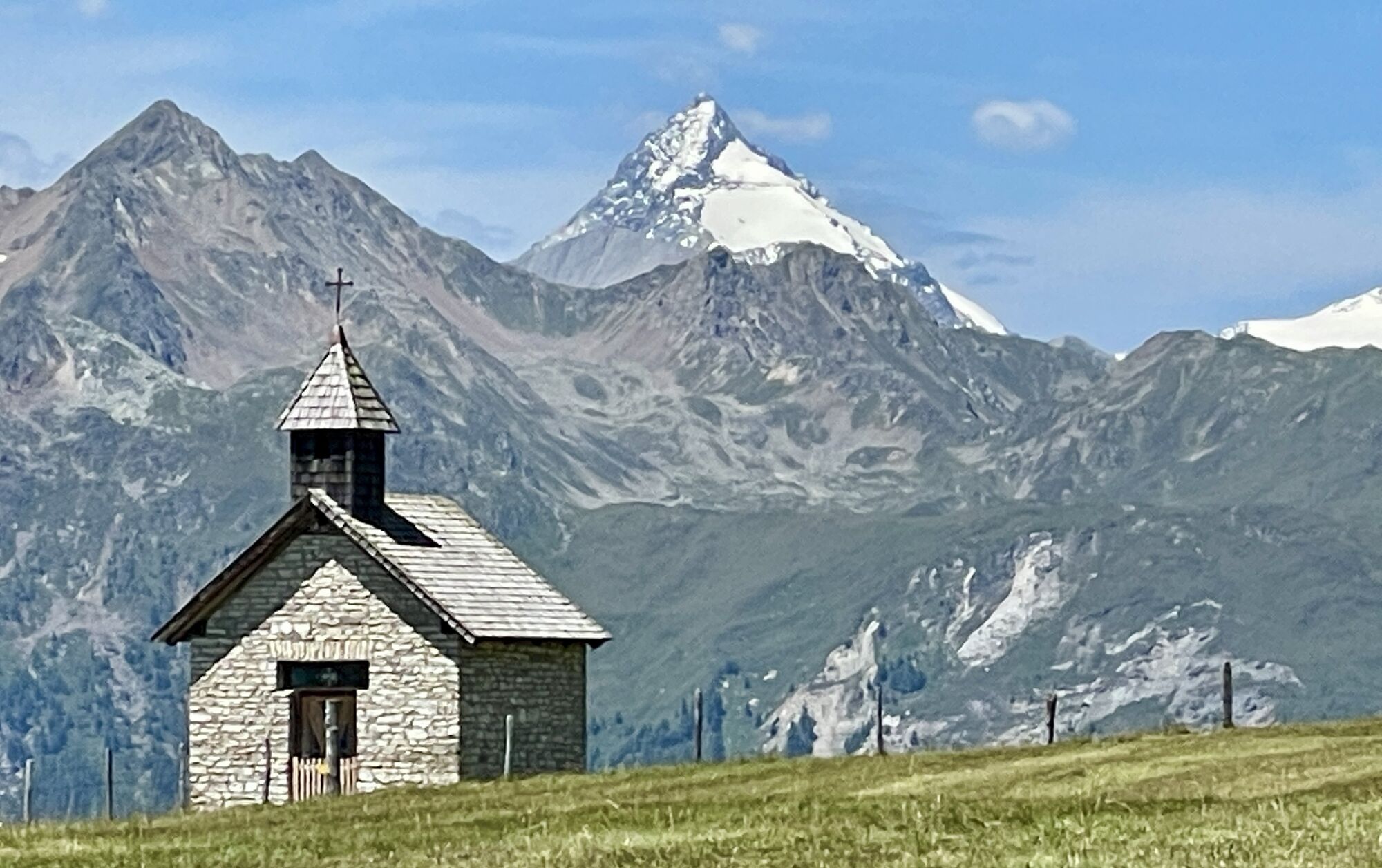
Many legends surround the Mohar in popular tradition. For example, the rather inconspicuous mountain is said to have even surpassed the Großglockner in height until a huge rockslide in 1348! Unbelievable?...
Many legends surround the Mohar in popular tradition. For example, the rather inconspicuous mountain is said to have even surpassed the Großglockner in height until a huge rockslide in 1348! Unbelievable? But aren’t these myths the ones that fascinate us even today, because they tell us not about facts, but about the spirit of times long past?
As well as the visible remains of the former gold mining operation, such as at the "Waschgang".
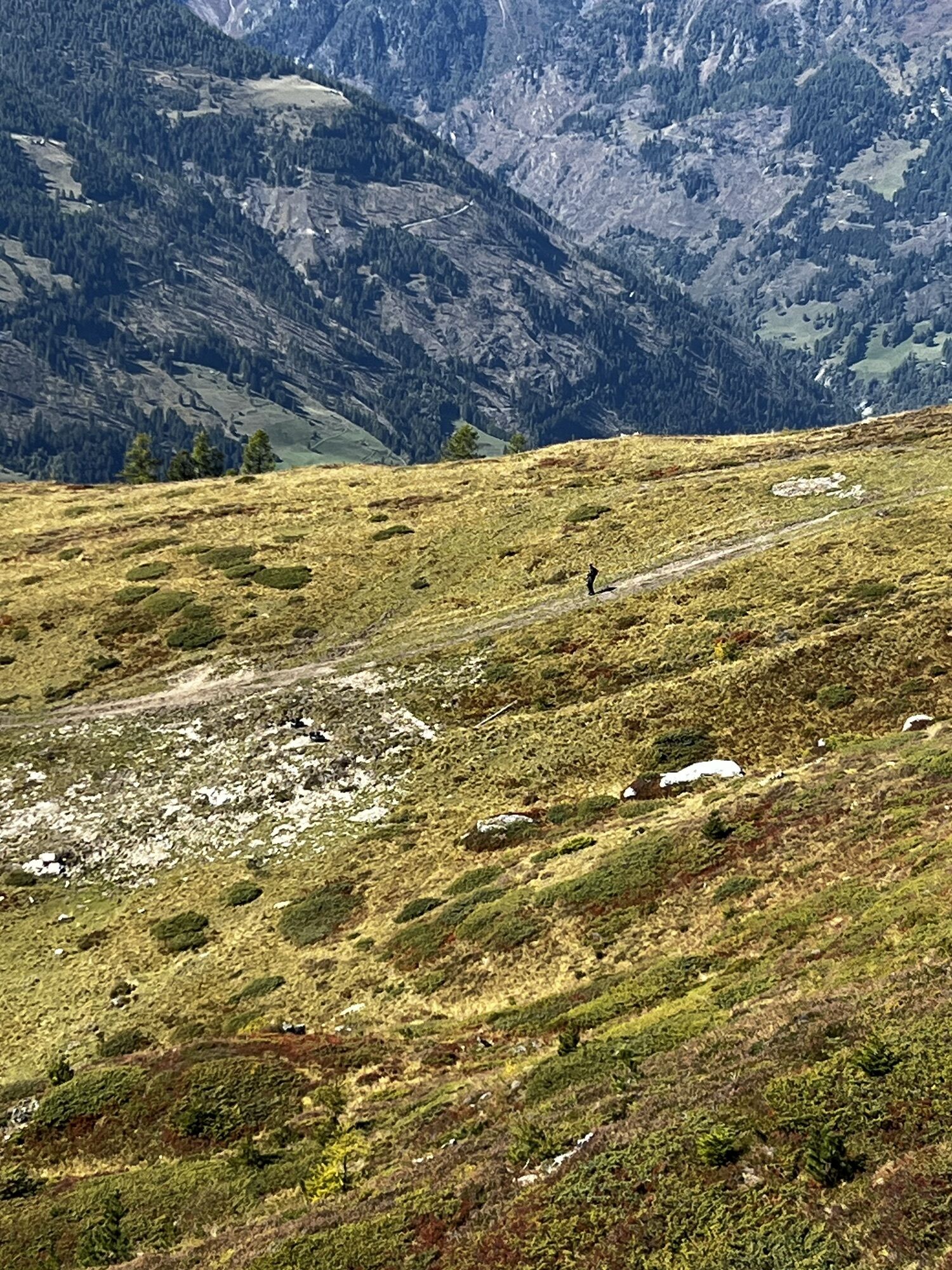
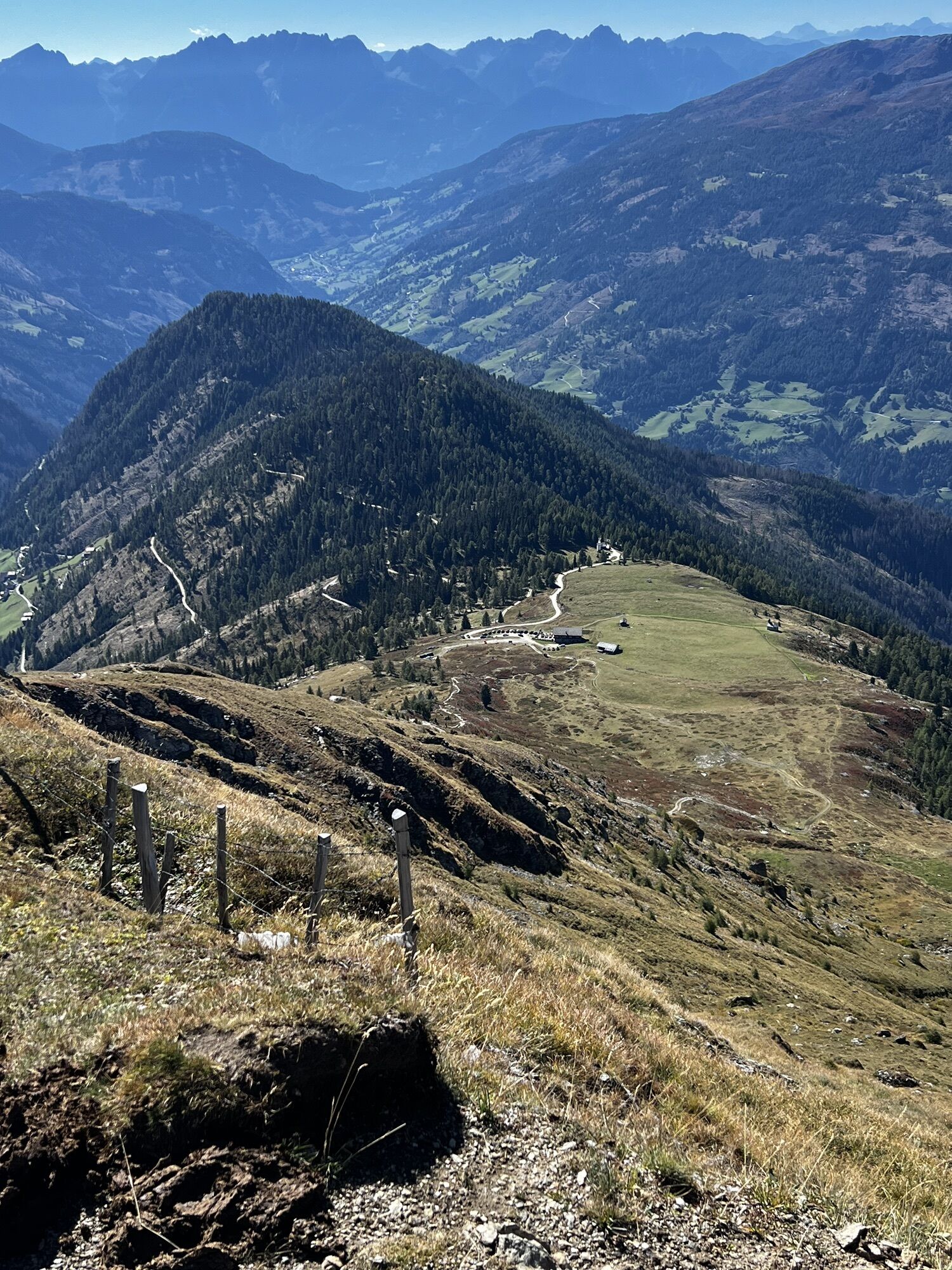
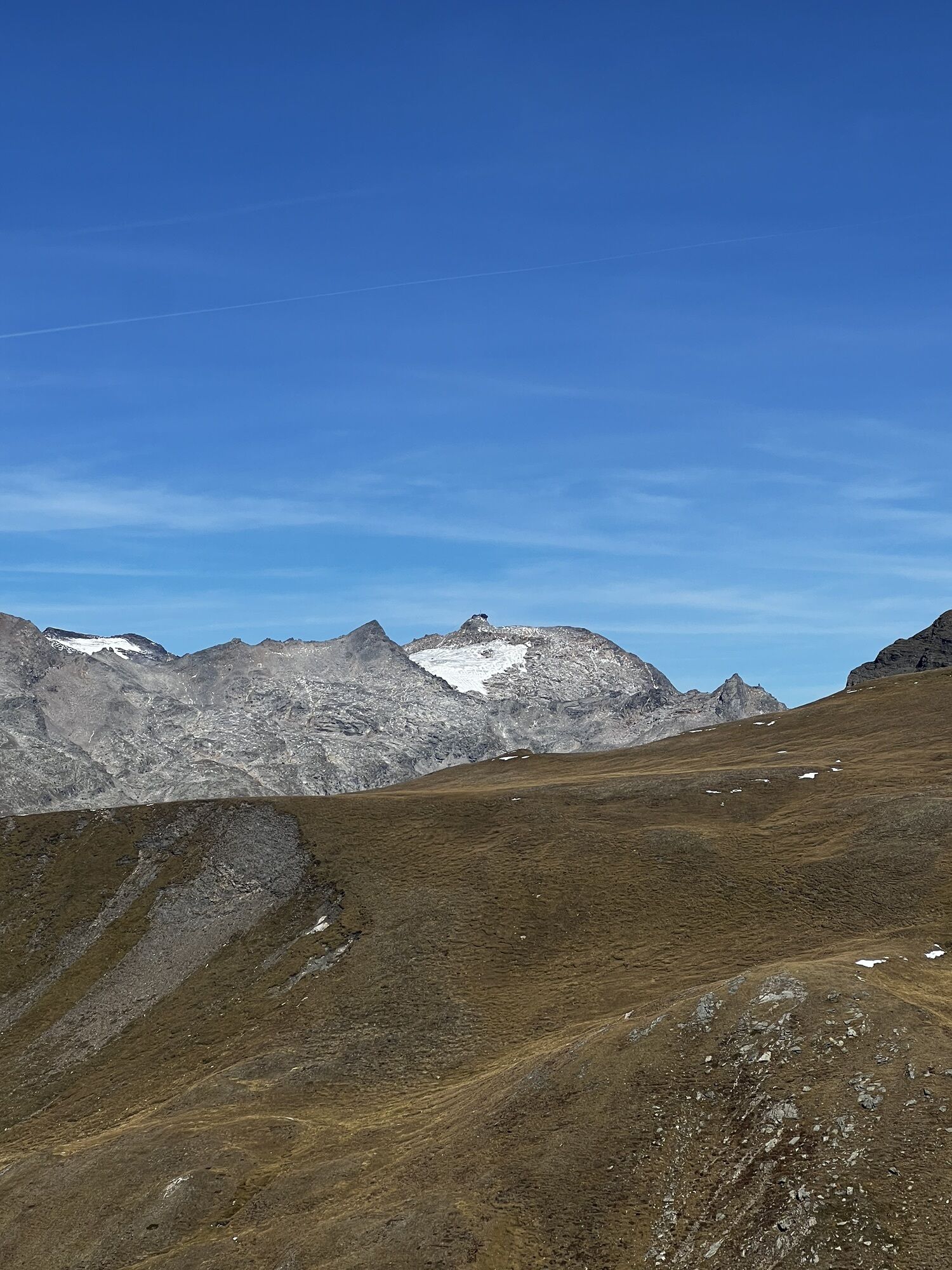
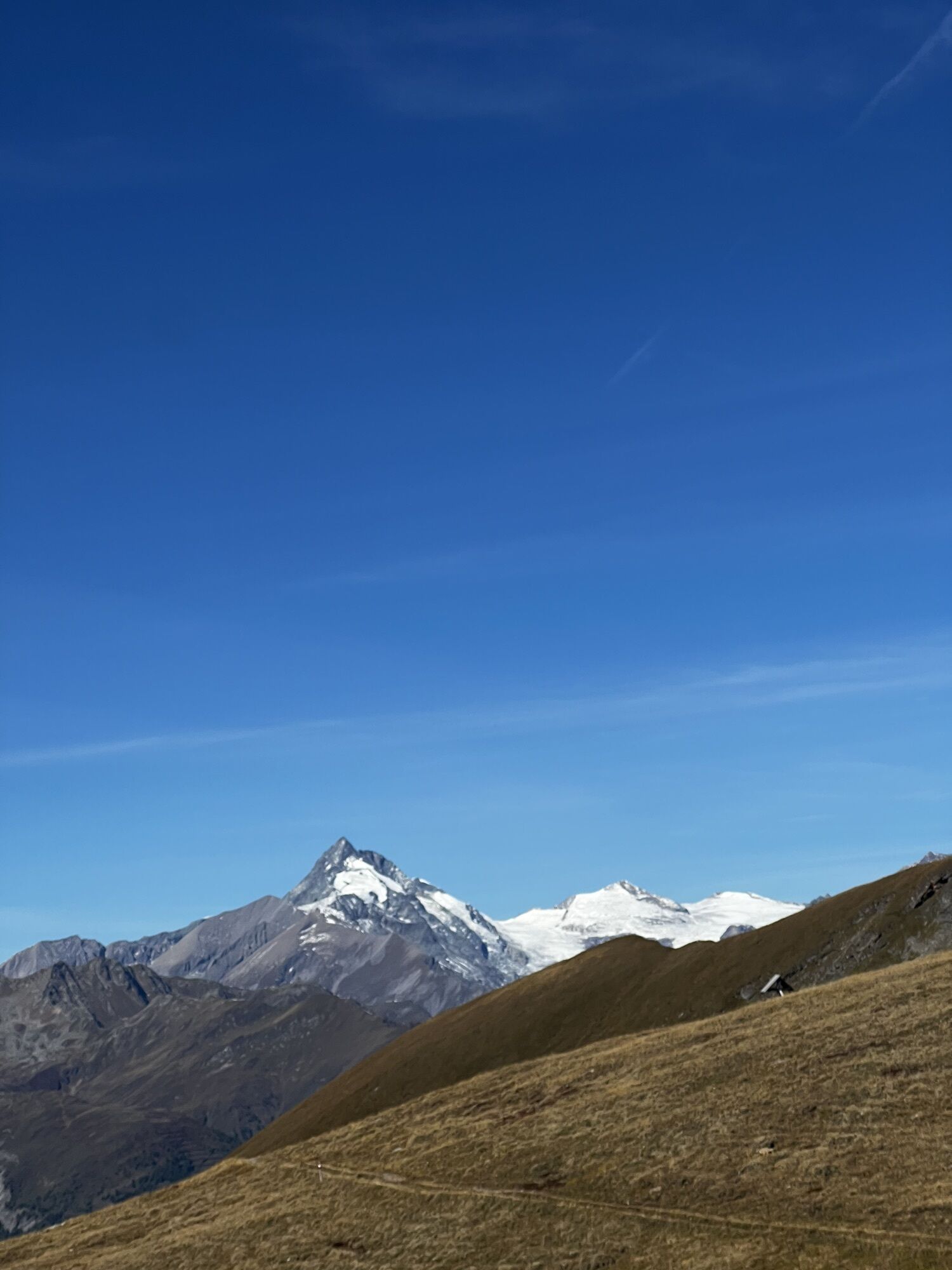
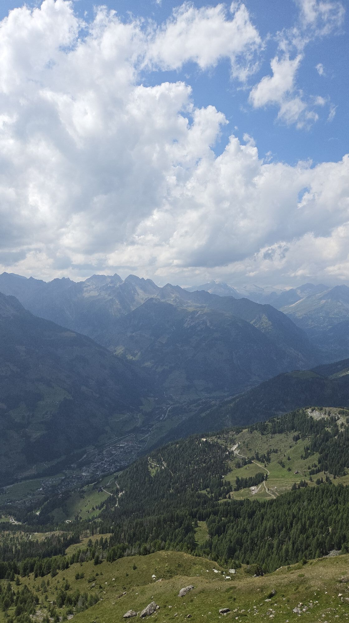
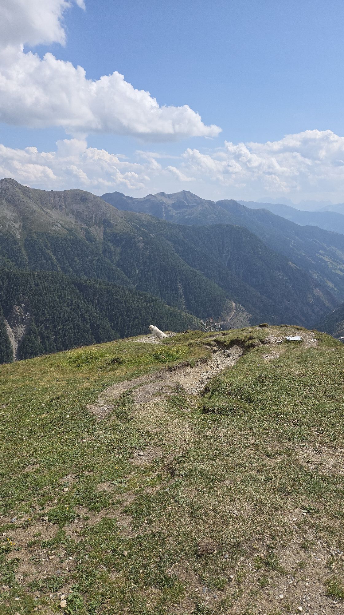
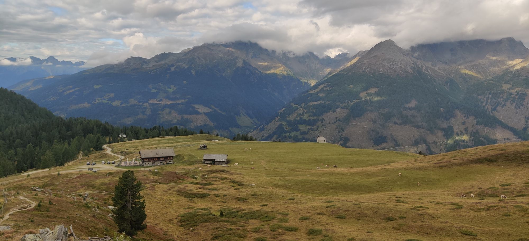
Here, beneath the Mohar, old tunnels, building remains, and waste heaps have been preserved. A detour to the "Waschgang" thus adds additional splendor to the magnificent circular route over the Mohar summit. The easy summit walk is splendid, over the beautiful alpine pastures of the Astental and Albitzen. As a viewing platform on the mountain landscape of the National Park, the Mohar is unrivaled anyway.
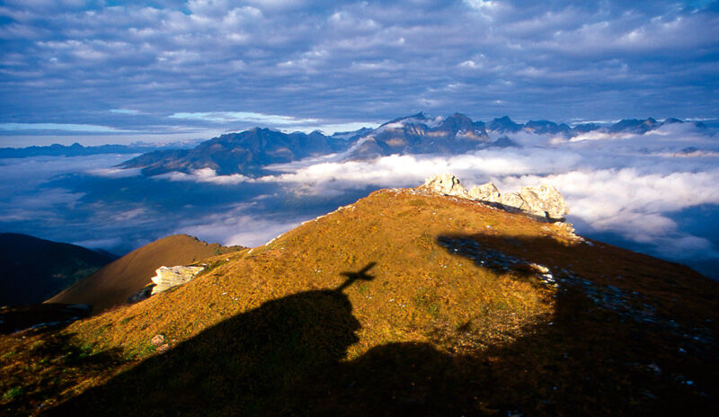
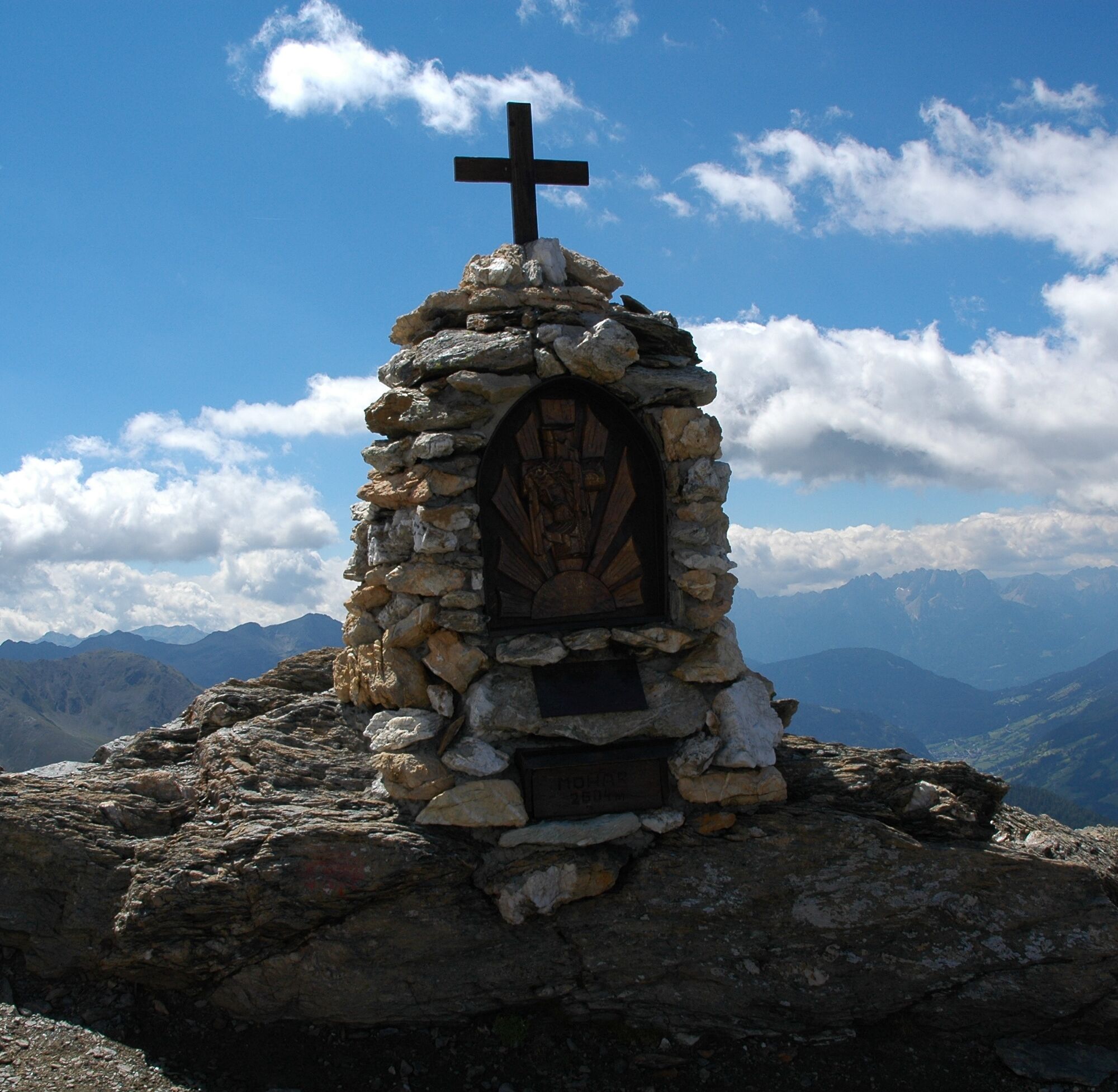

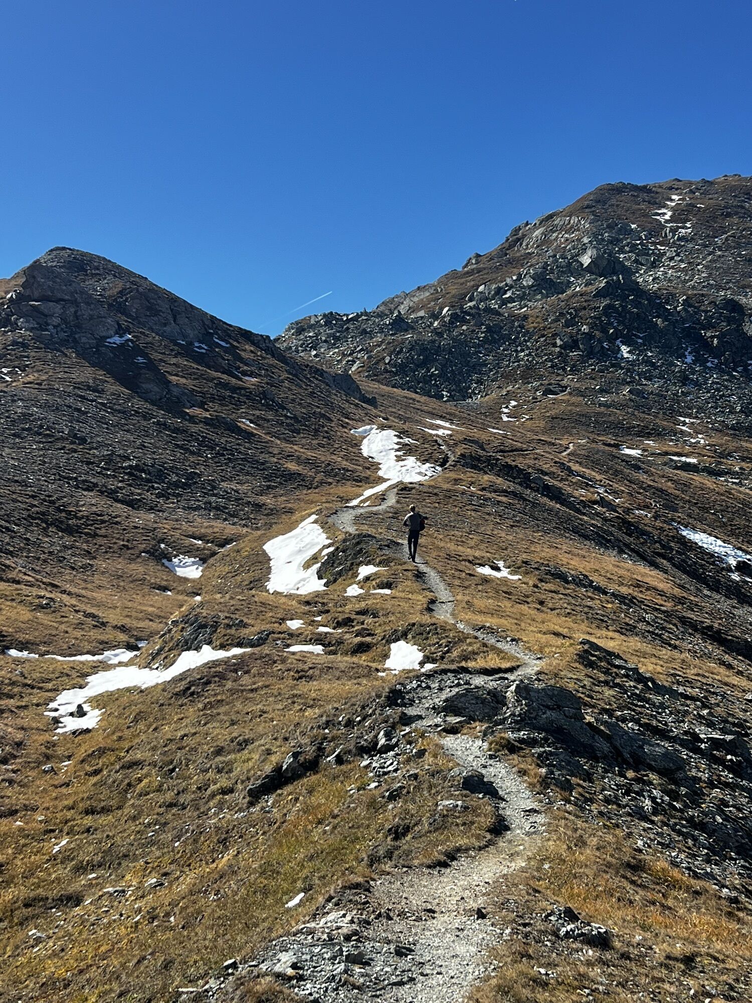
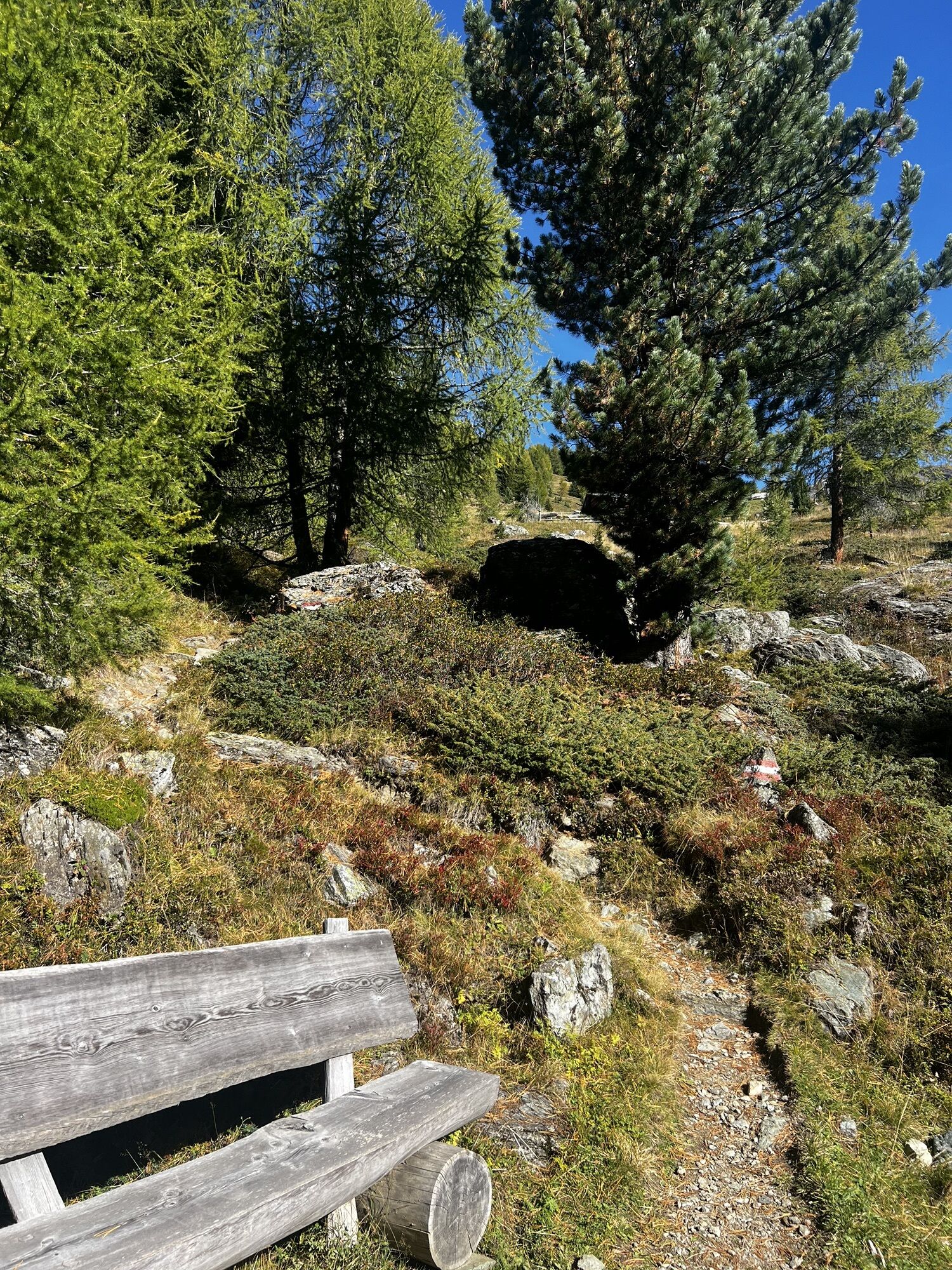
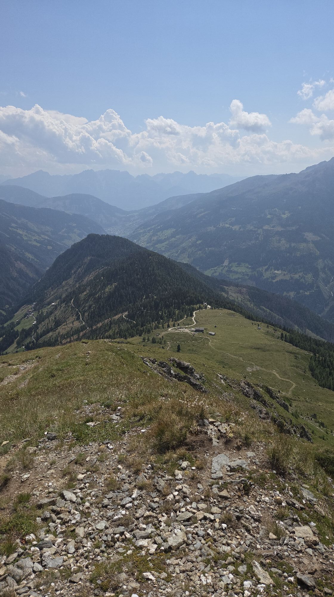
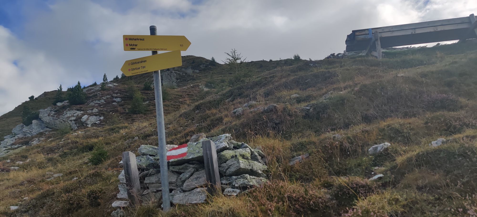
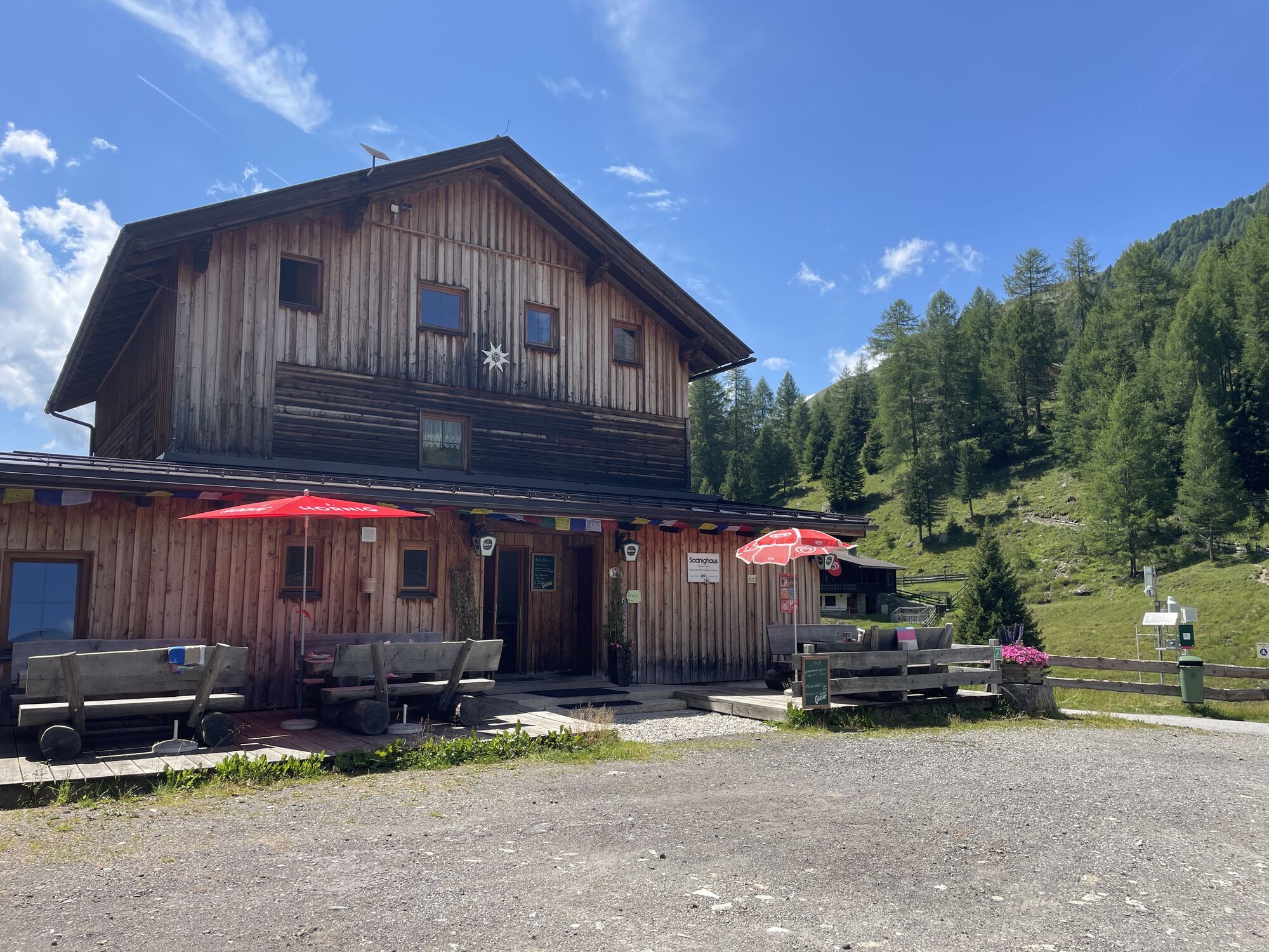
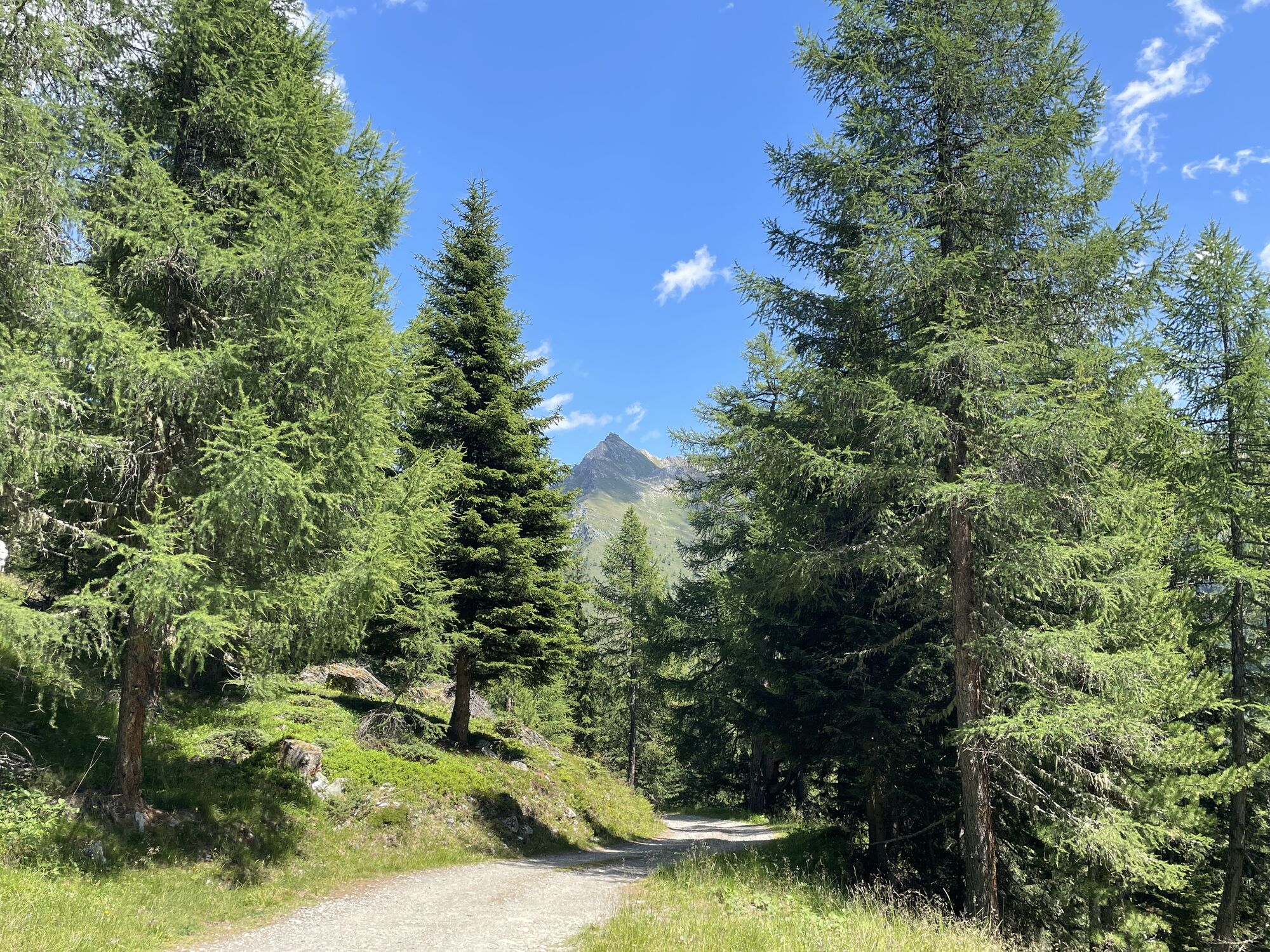
From Sadnighaus, follow the goods road uphill (shortcut via path possible) until it turns flatly downstream with a last left bend. After a few meters (junction - trail no. 153) we leave the road to the right and follow the path towards Göritzer Törl in steep serpentines uphill, until it crosses into gentler alpine meadows. Over these into Göritzer Törl. Along the increasingly scenic northwest ridge partly through scree terrain to the summit. On the steep south slope a little exposed, following the ridge to the Mohar cross and down the back to the alpine inn Glocknerblick.
From the Glocknerblick parking lot along path no. 152 first 50 meters over the footpath to the left. After a gate, we reach the goods road that leads back into the Astental. Following it, past the Sagritzerwirt alpine pasture, comfortably back to Sadnighaus.
Ano
Turn off the Mölltal federal road in Mörtschach towards Asten and follow the asphalt road up to Sadnighaus.
Parking lot in the area of Sadnighaus.
Further dreamlike hikes in the National Park region Hohe Tauern Carinthia can be found at www.nationalpark-hohetauern.at/wandern!


Aktivity na trase
-

Mörtschach, Kärnten/Österreich
28.09.2026 – Turistika -
Mörtschach, Kärnten/Österreich
27.09.2026 – Turistika -

Großkirchheim, Kärnten/Österreich
19.09.2026 – Turistika -

Mörtschach, Kärnten/Österreich
19.08.2026 – Turistika -
Mörtschach, Kärnten/Österreich
07.07.2026 – Turistika -

Mörtschach, Kärnten/Österreich
23.06.2026 – Turistika -

Mohar
12.06.2026 – Turistika -
Mörtschach, Kärnten/Österreich
24.08.2025 – Turistika -

Mörtschach, Kärnten/Österreich
23.08.2025 – Turistika -
Mörtschach, Kärnten/Österreich
13.08.2025 – Horská turistika -
Mörtschach, Kärnten/Österreich
10.08.2025 – Turistika
Oblíbené prohlídky v okolí
-
4.9
Wangennitzsee Hütte
středníTuristika 3.80 km -
4.9
Astental: Mohar, Moharkreuz
středníTuristika 9 km -
4.8
Hohe Sonnblick Up
heavyTuristika 9.14 km -
4.8
Rifflscharte - Kolmkarscharte - Bockhartscharte - Sportgastein
středníTuristika 13.5 km -
4.9
Schareck über Ostgrat
heavyVysokohorská turistika 13.3 km -
4.5
Niedersachsenhaus
středníTuristika 4.84 km -
4.8
Vorderer Geißelkopf
středníVysokohorská turistika 19.1 km -
4.8
Lienzer Hütte
světloTuristika 7.39 km -
4.9
Access to Hagener hut from Jamnigalm
středníTuristika 11.4 km -
4.2
Gradental to Adolf Nossberger Hut - circular route
středníTuristika 11.1 km
Pěší turistika a stopování


Nenechte si ujít nabídky a inspiraci pro vaši příští dovolenou
Vaše e-mailová adresa byl přidán do poštovního seznamu.





