


Roter Knopf
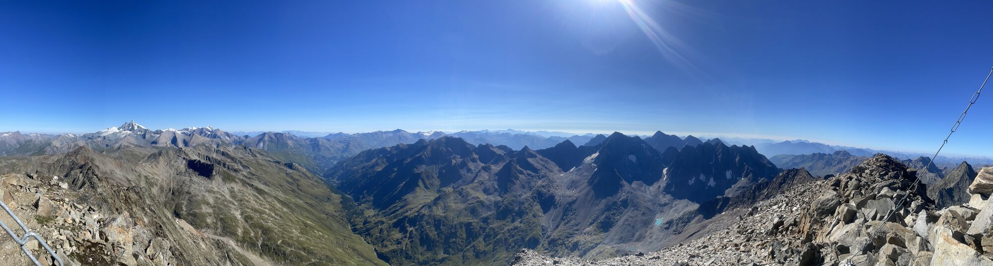
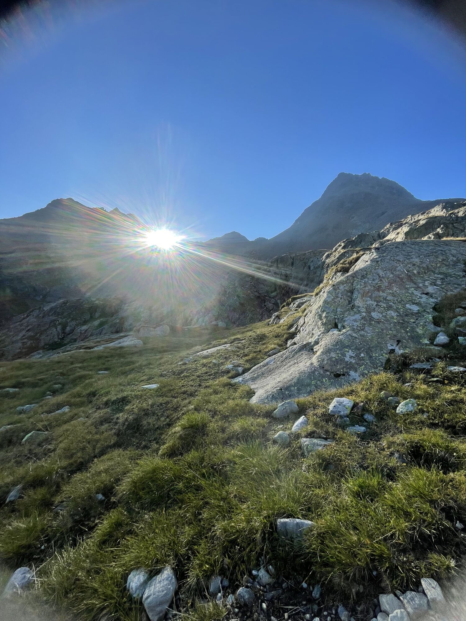

Part of the magic of the mysterious Gößnitz valley undoubtedly comes from the dominant mountain shape with its unmistakable hanging glacier - the Roter Knopf. The second highest peak of the Schober group...
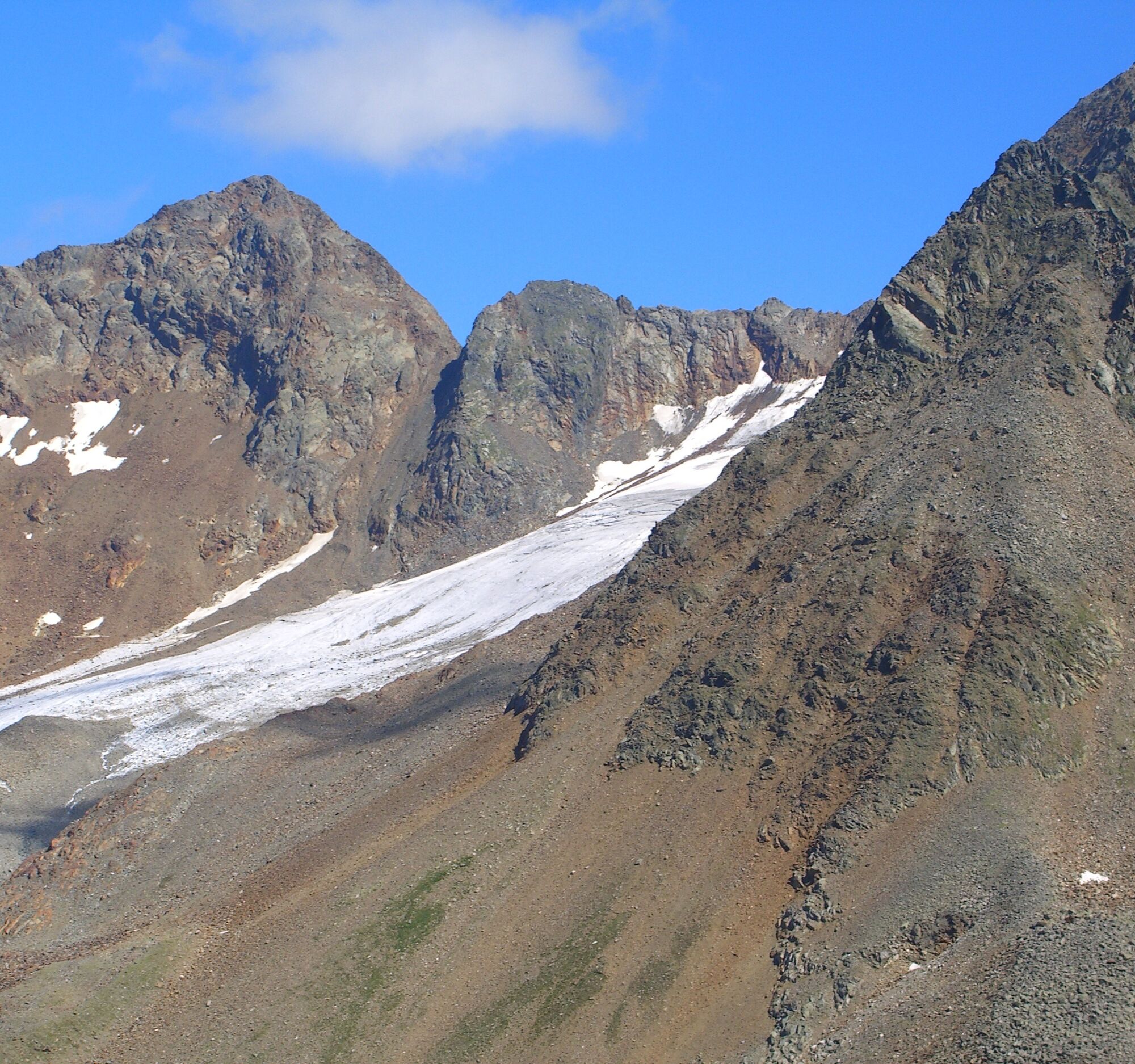
Part of the magic of the mysterious Gößnitz valley undoubtedly comes from the dominant mountain shape with its unmistakable hanging glacier - the Roter Knopf. The second highest peak of the Schober group gives this valley a protective end and seems to greet kindly with its firn fields from afar. How far it is one feels, because the path to it is long but extremely rewarding.
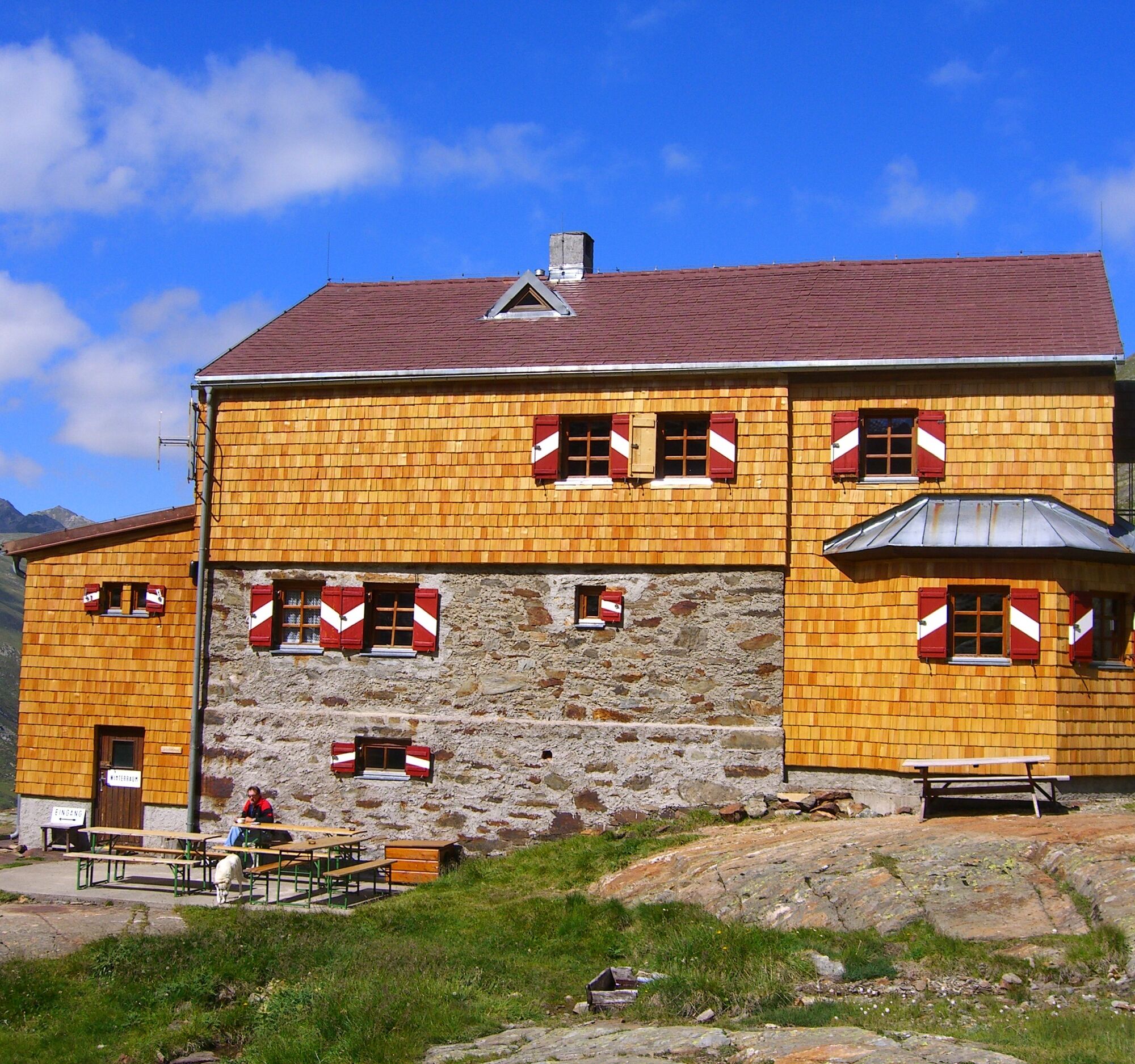
Therefore, on this route we should definitely overnight at the Elberfelder Hut to also have enough time to marvel.
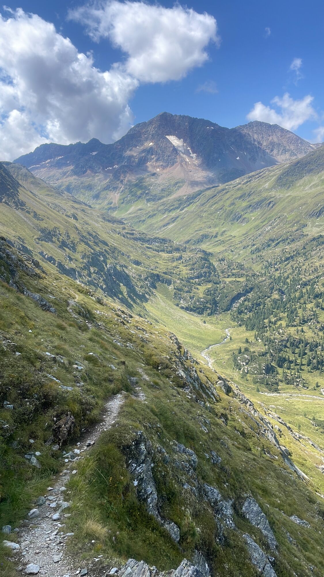
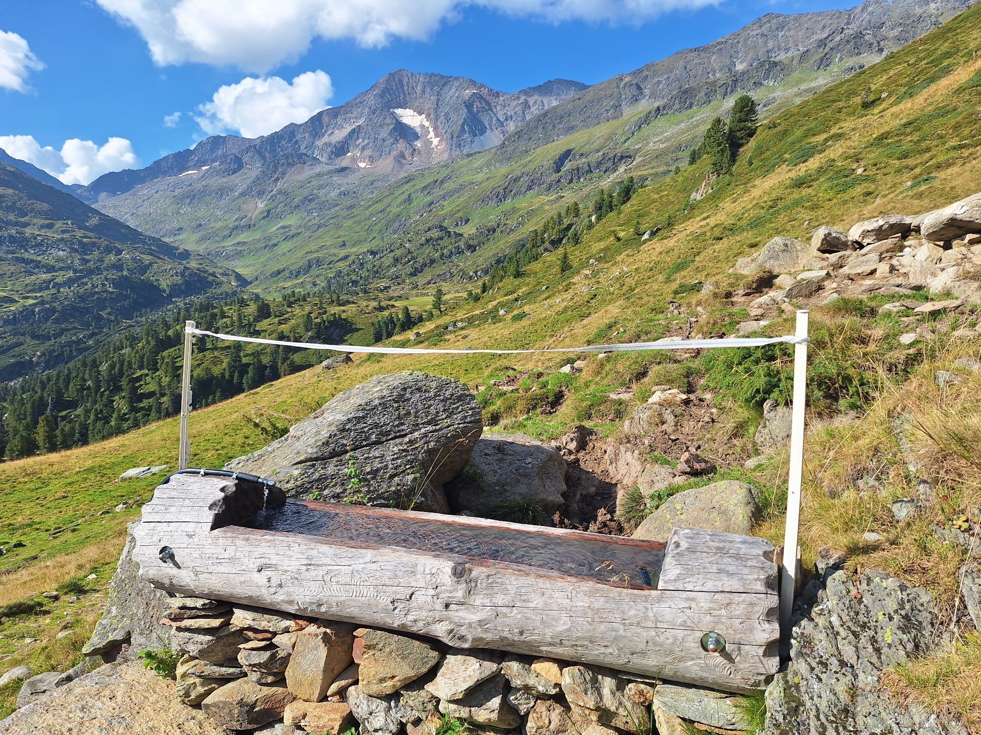
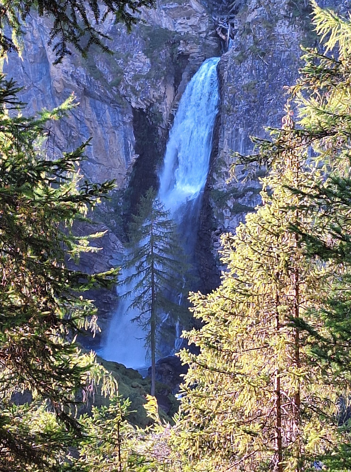
From the parking lot, take the steep forestry road (trail 915) uphill. After an impressive view of the waterfall, continue steeply uphill on the forestry road to the Bruchetalm, then along the gorge through the “Lachtal” to the “Outer Eben”. At the junction to the Wirtsbaueralm take the lower path further into the valley. Of course, you can also take the 10-minute detour to the Wirtsbaueralm for a small refreshment.
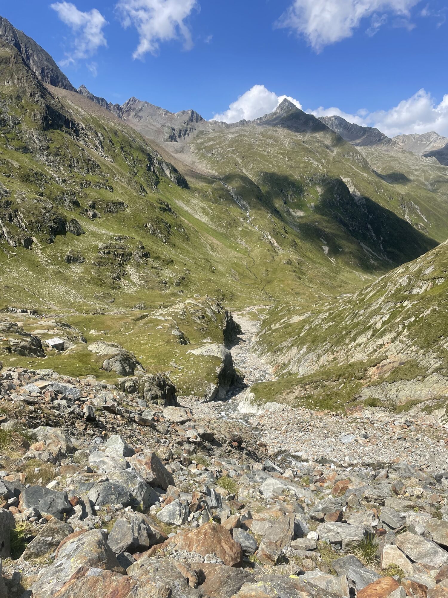
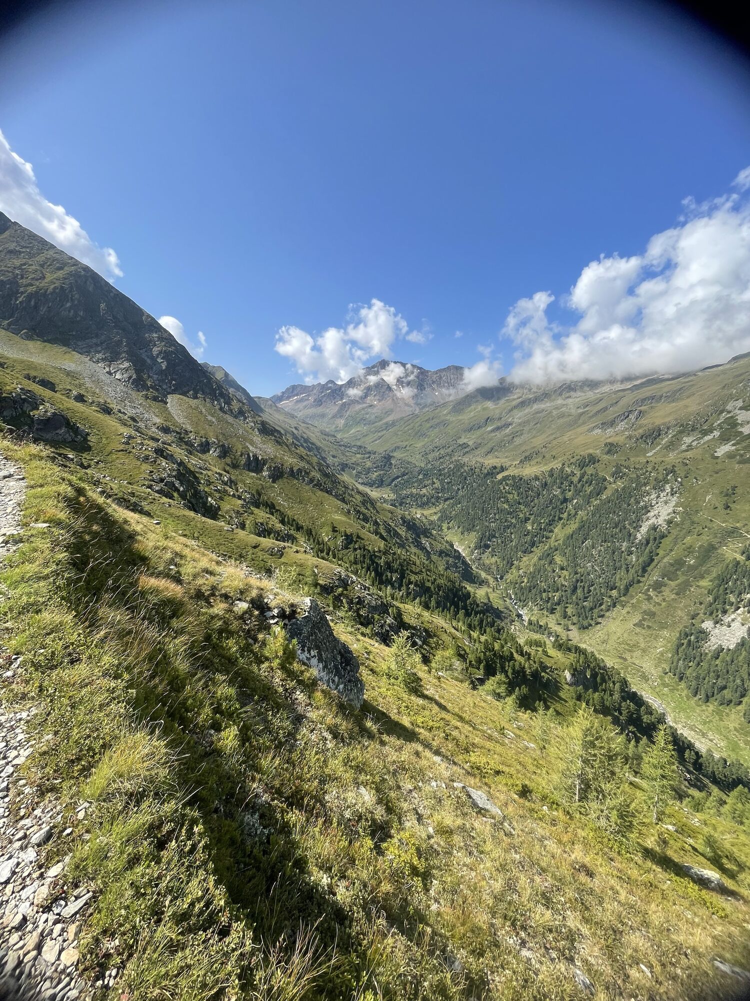
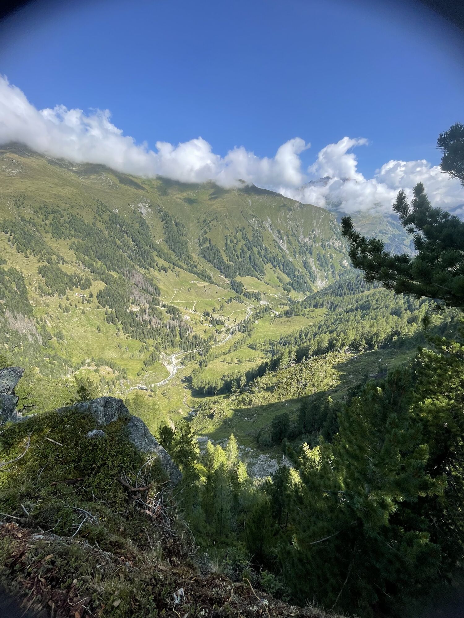
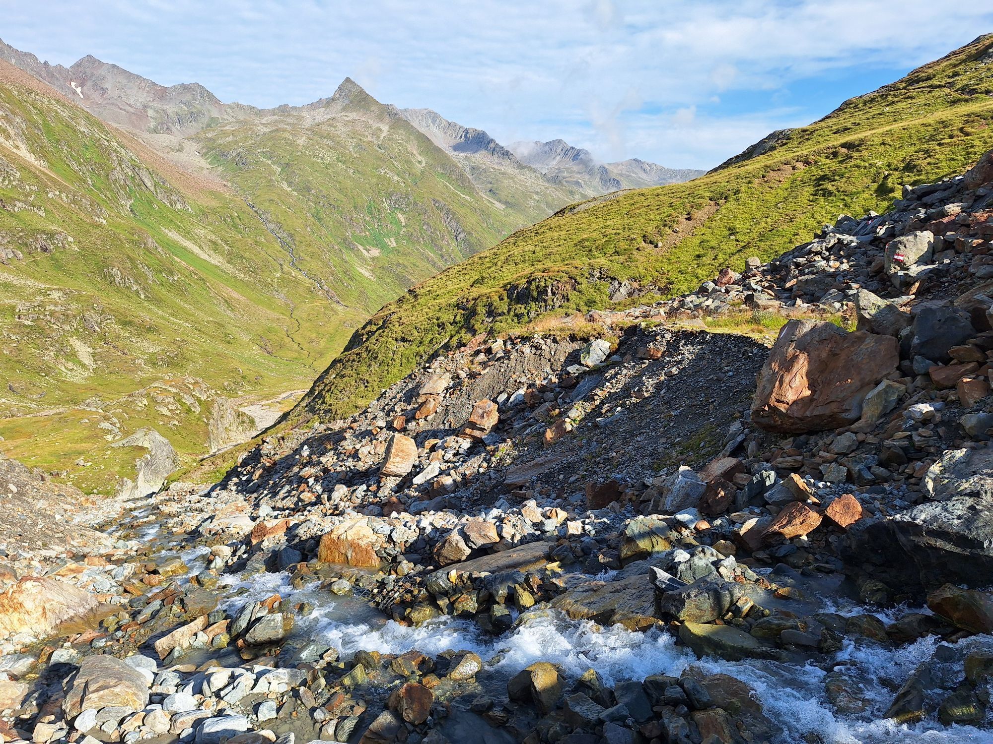
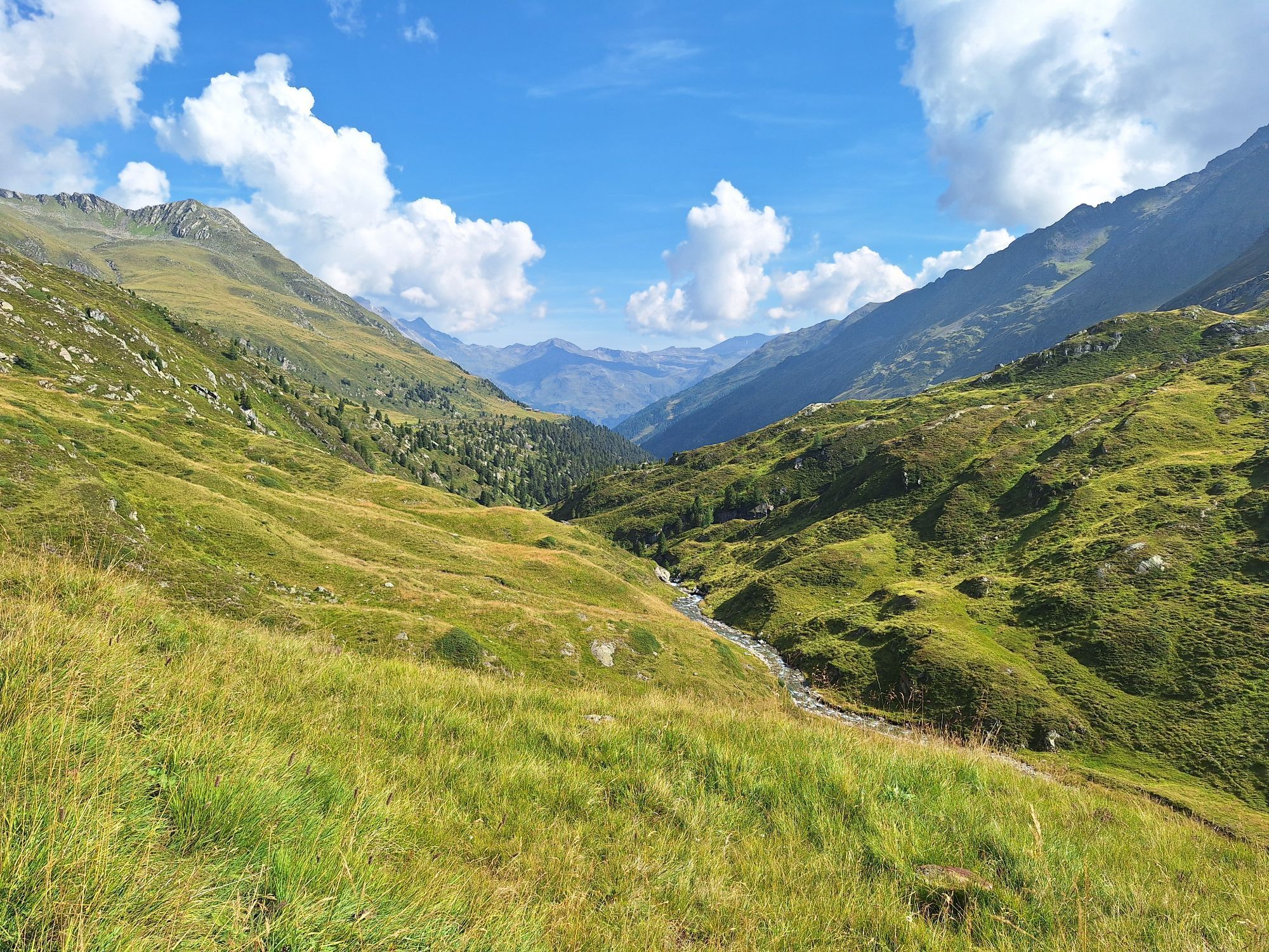
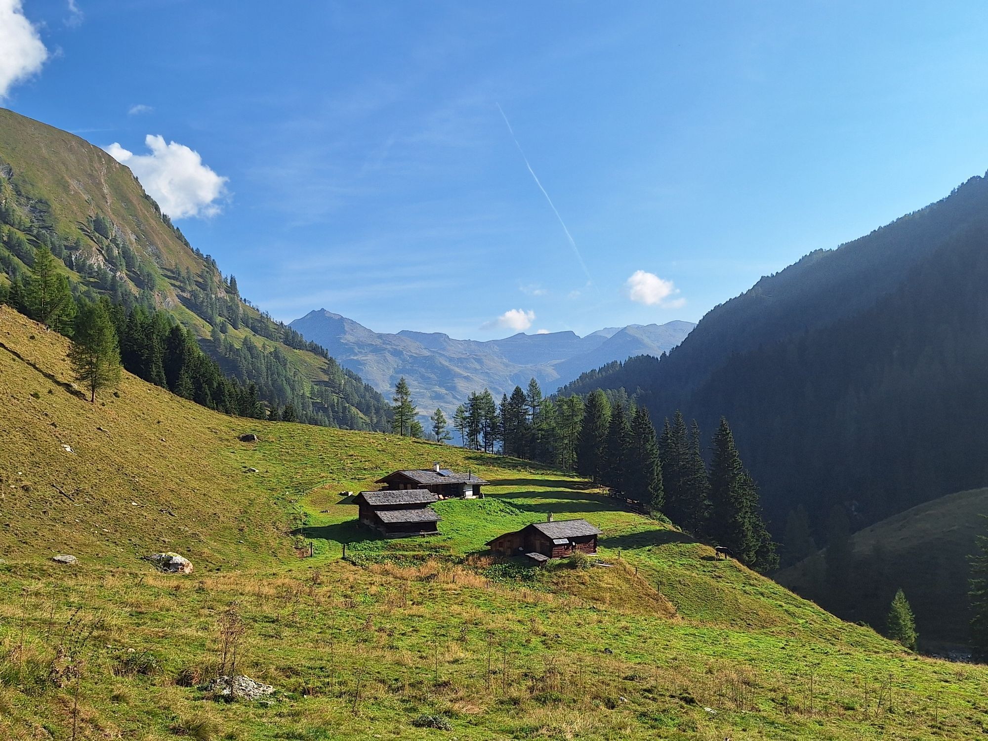
At the pasture “Inner Eben” the forestry road ends, and some attention is needed to recognize the main path that leads valley inward through wooded terrain. At the Ochsner Hut the view into the valley already opens somewhat, revealing the full extent and splendor at the Hinterm-Holz Alm.
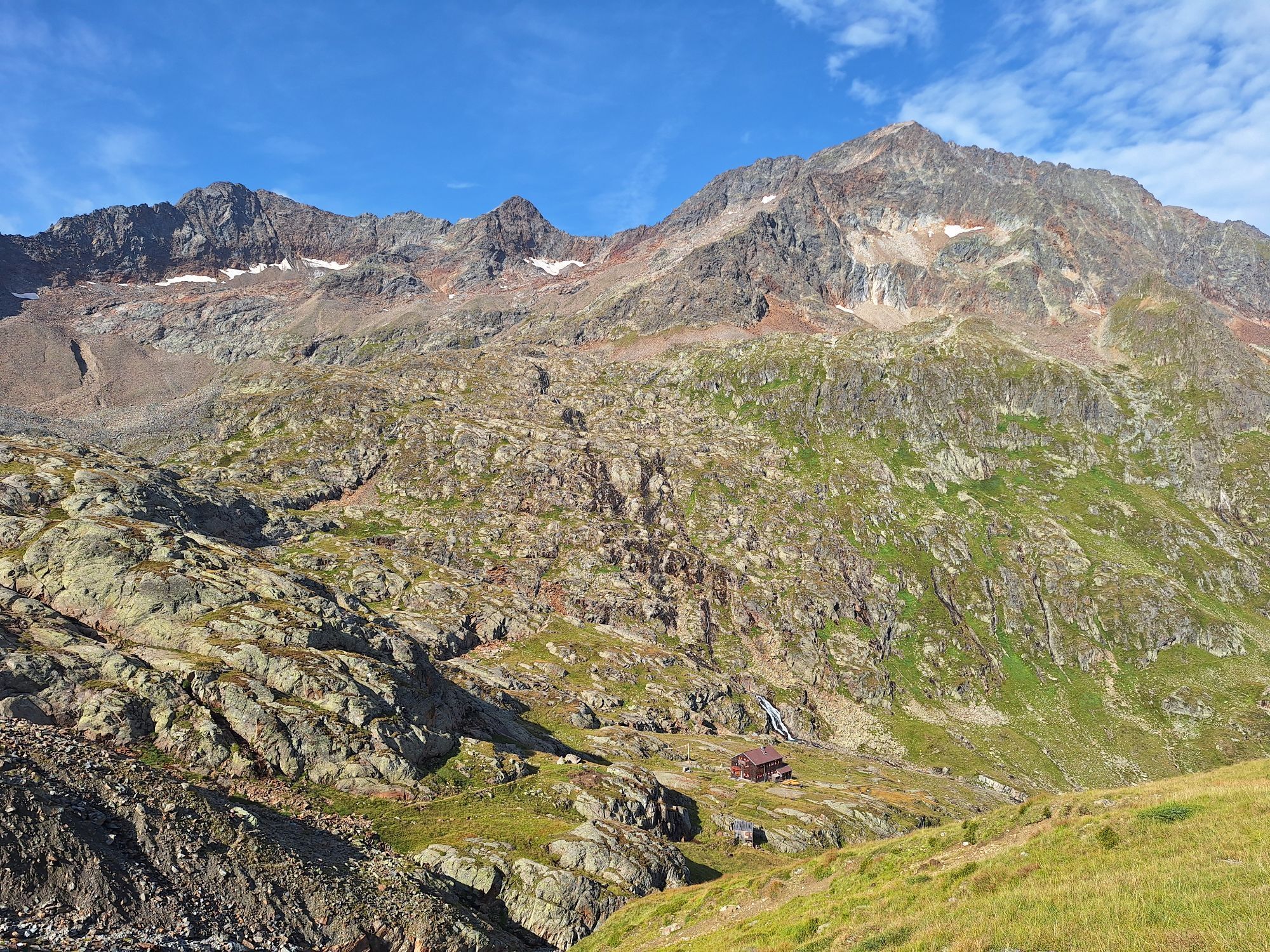
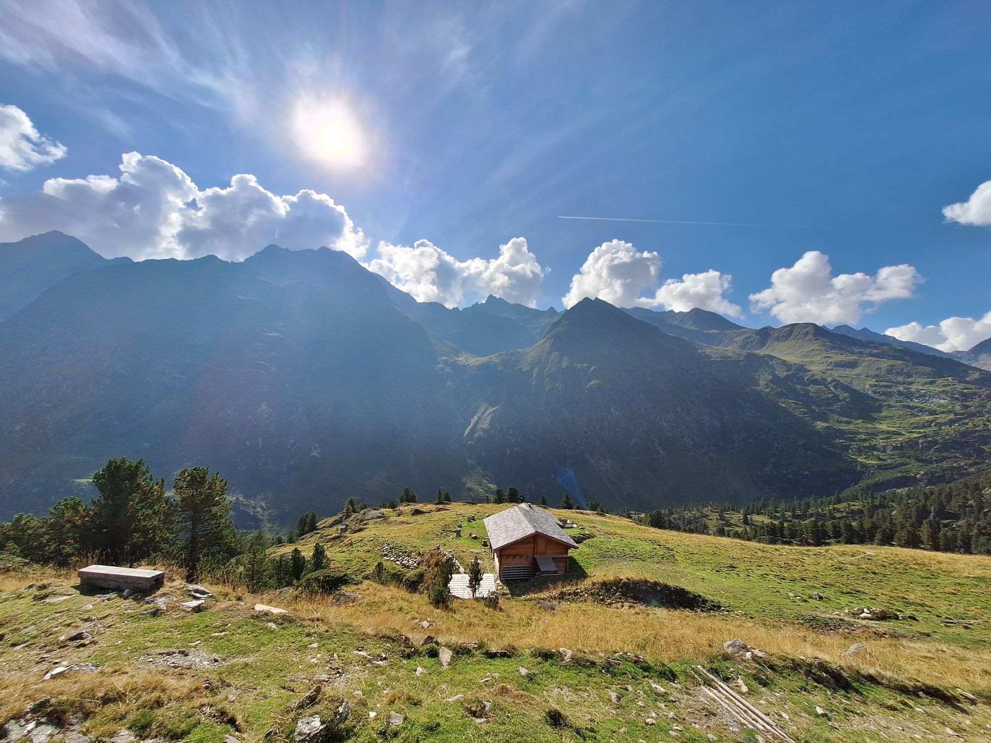
From there it will take about an hour to reach the Elberfelder Hut.
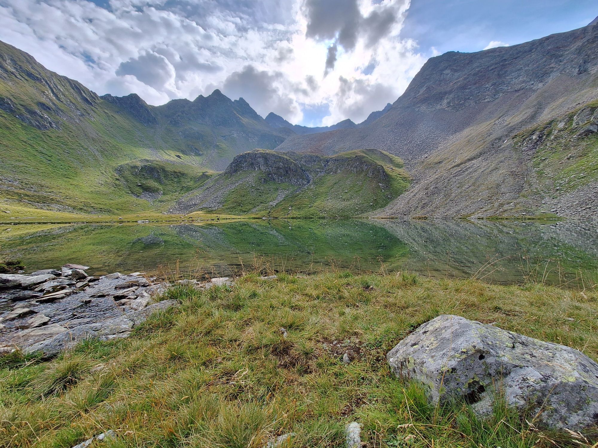
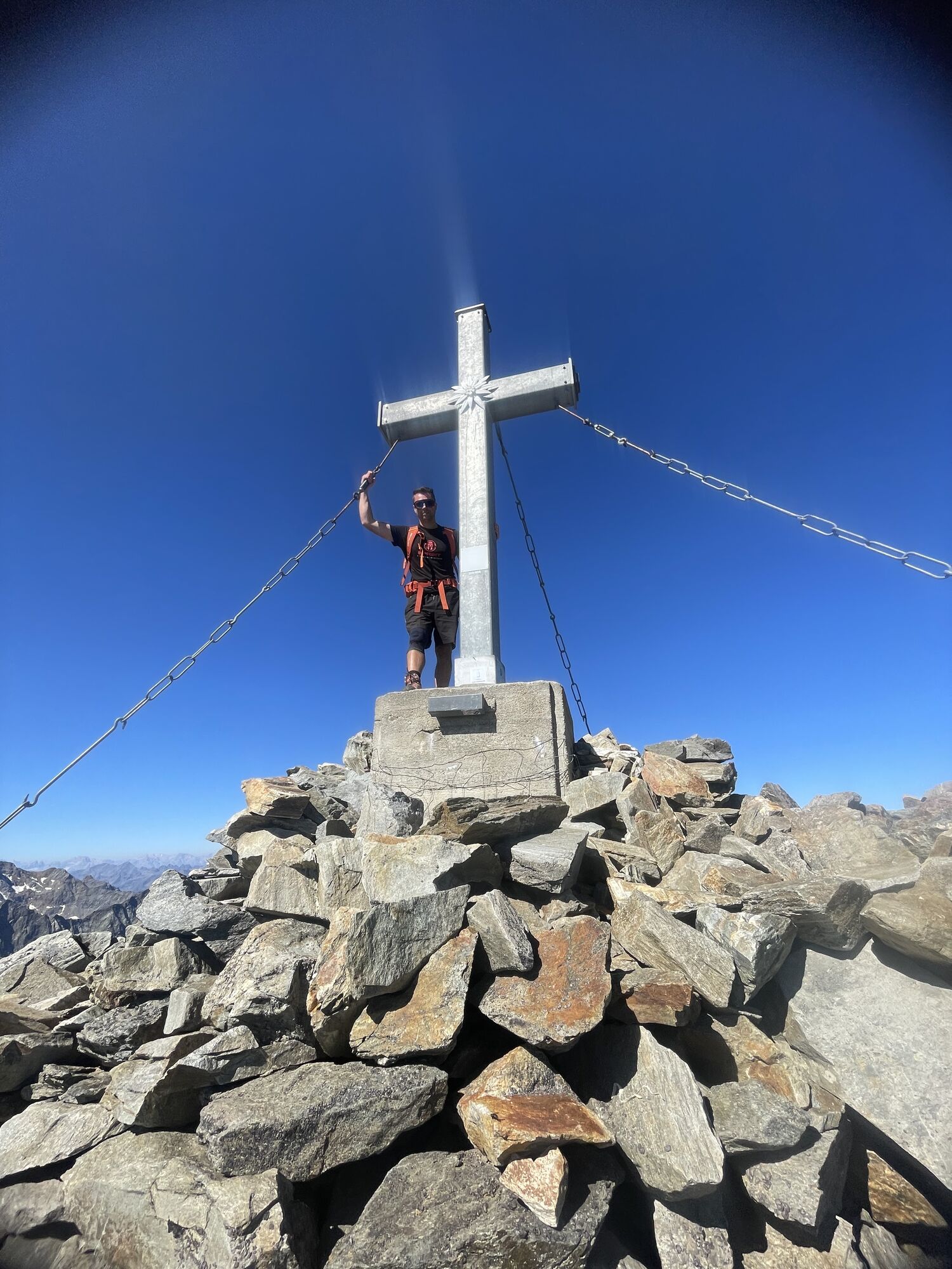
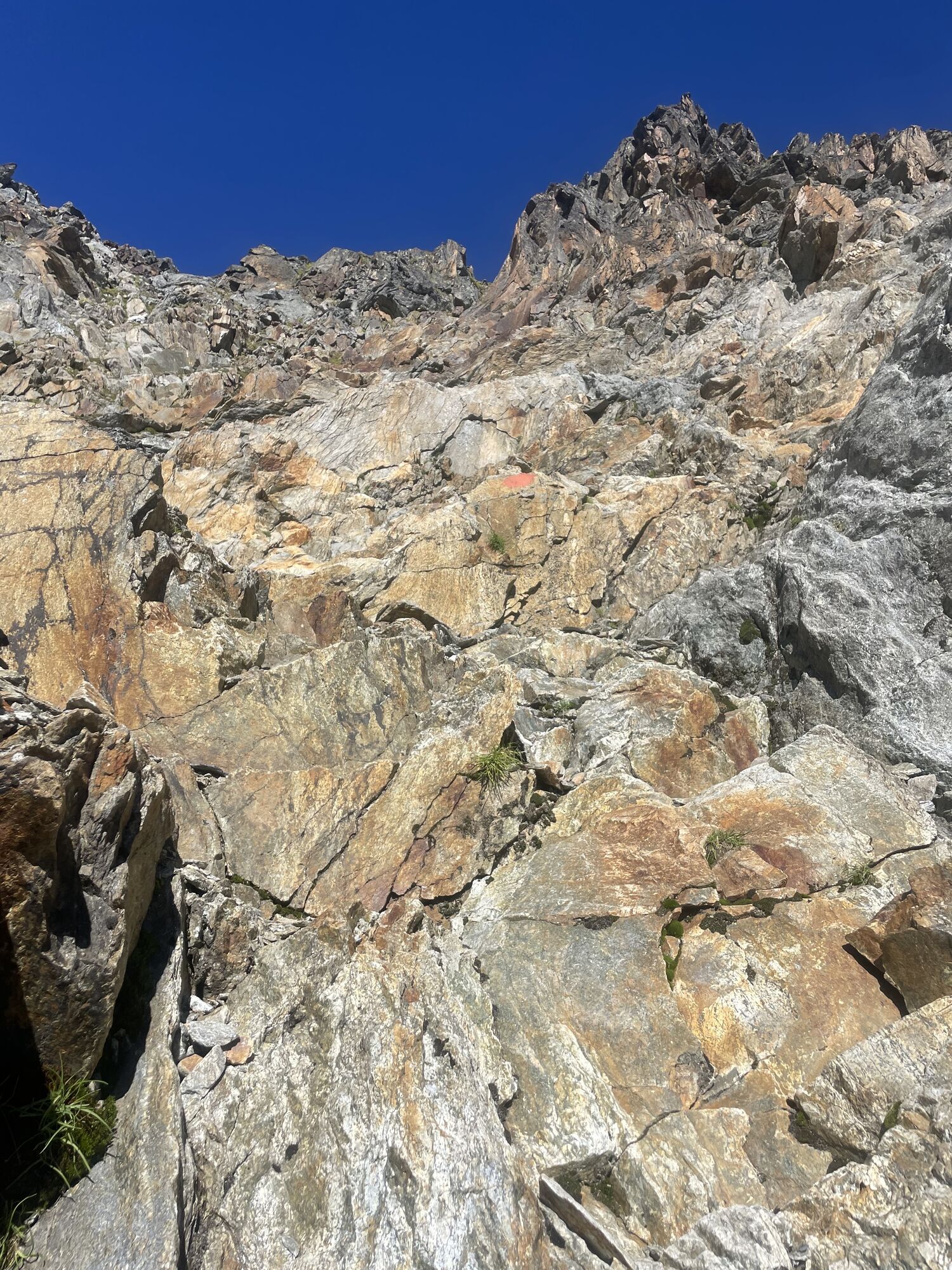
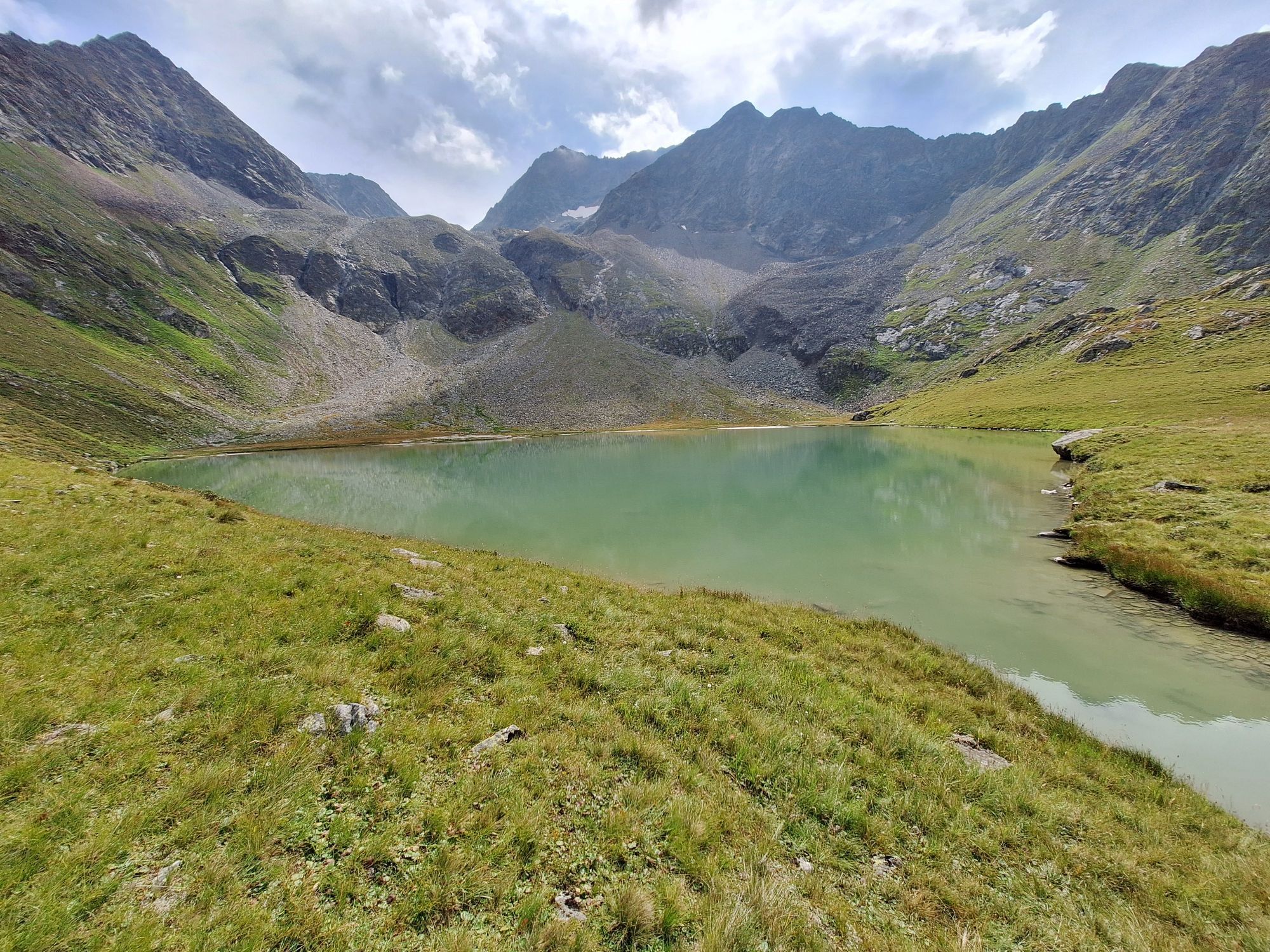
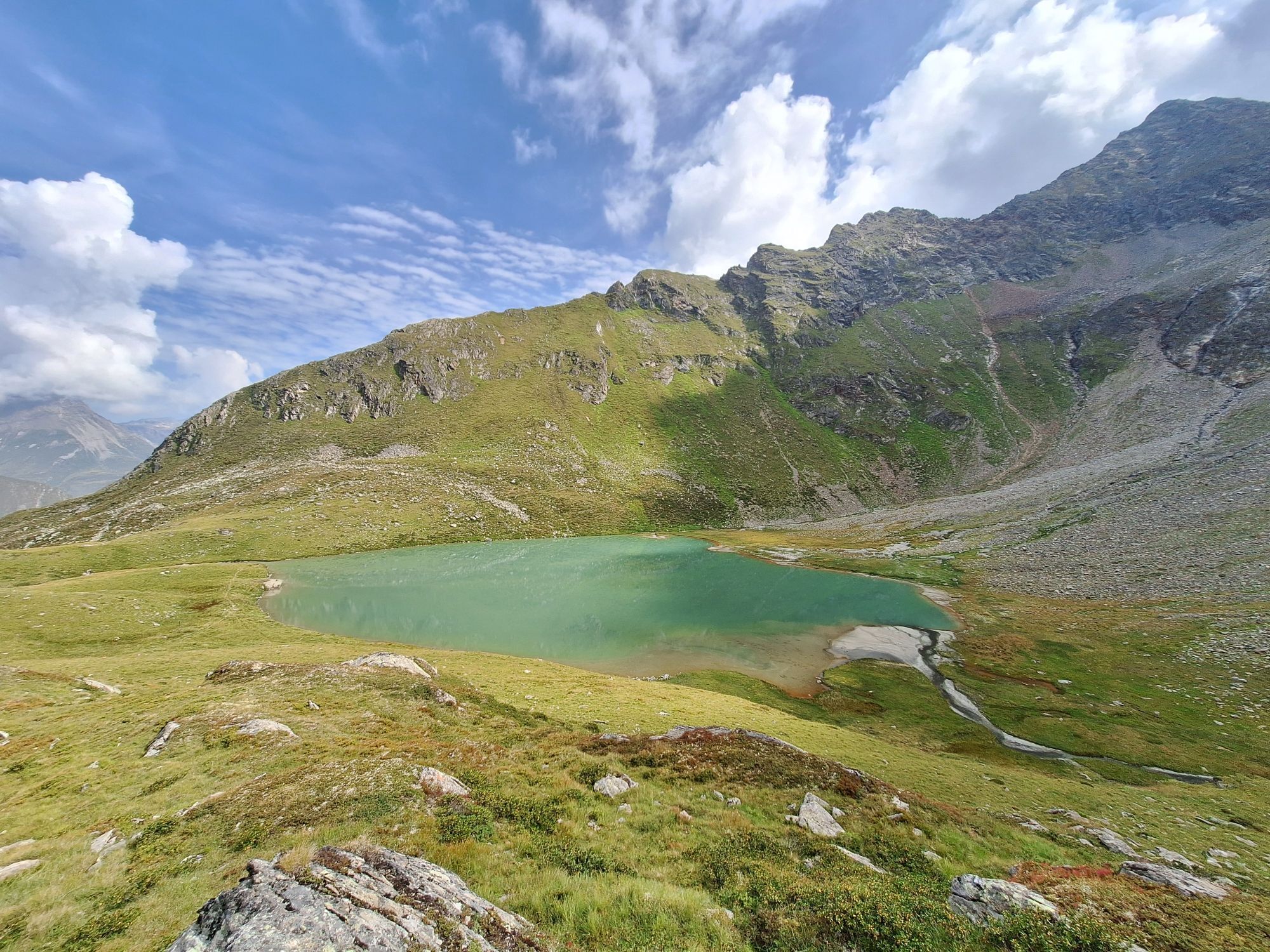
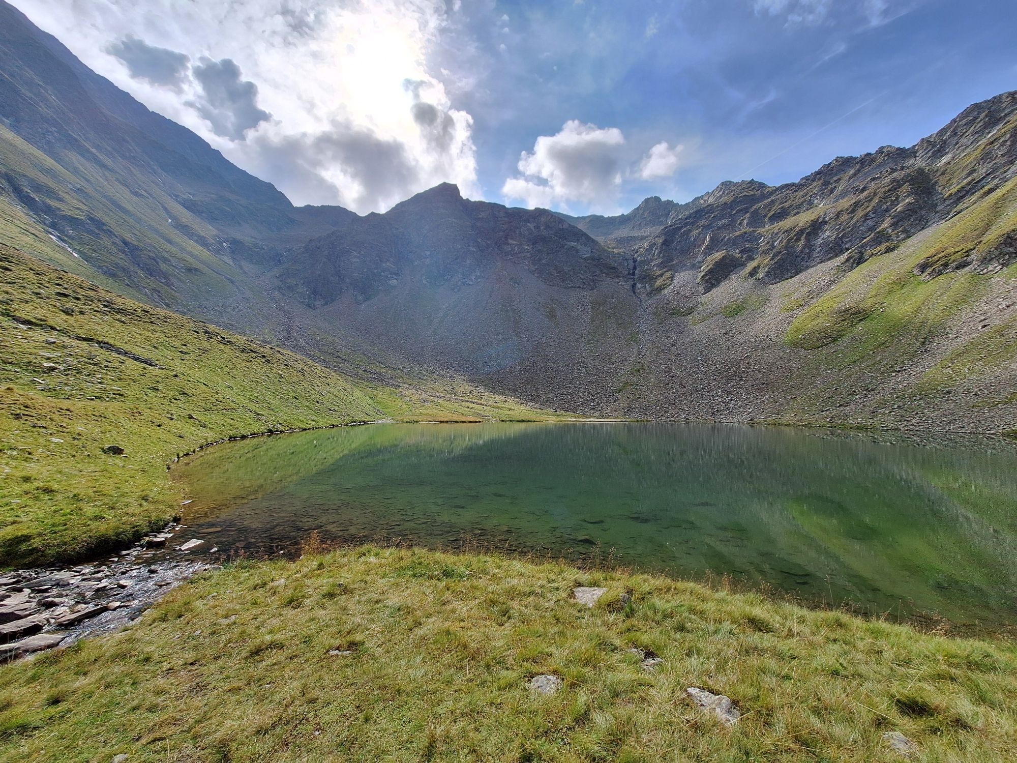
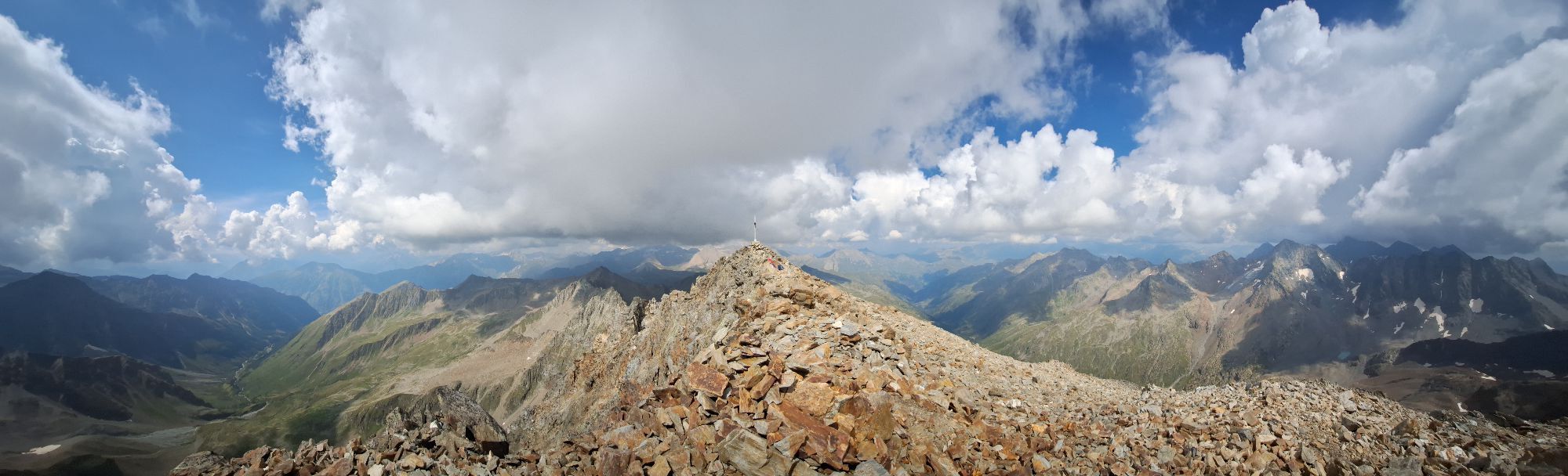
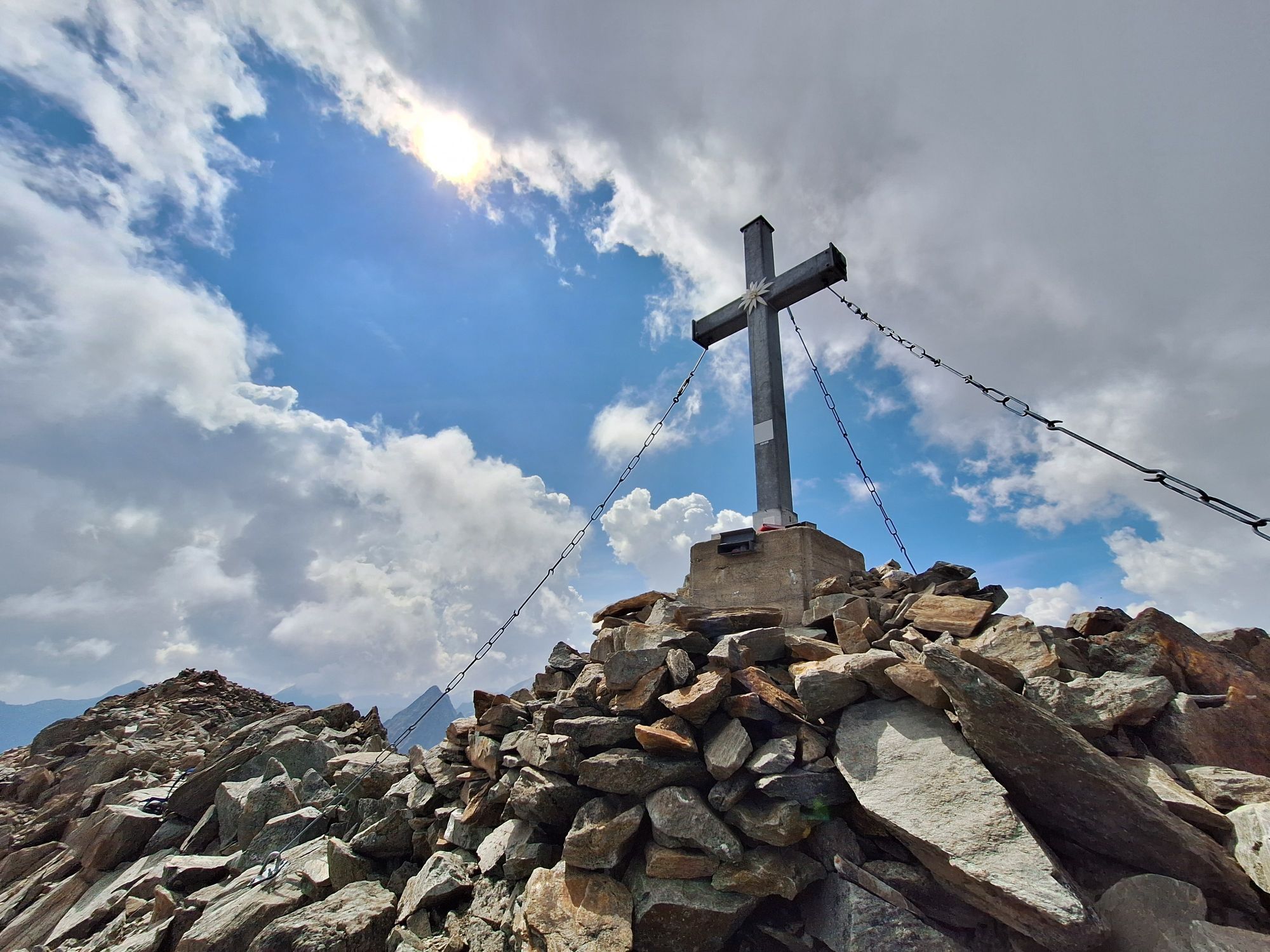
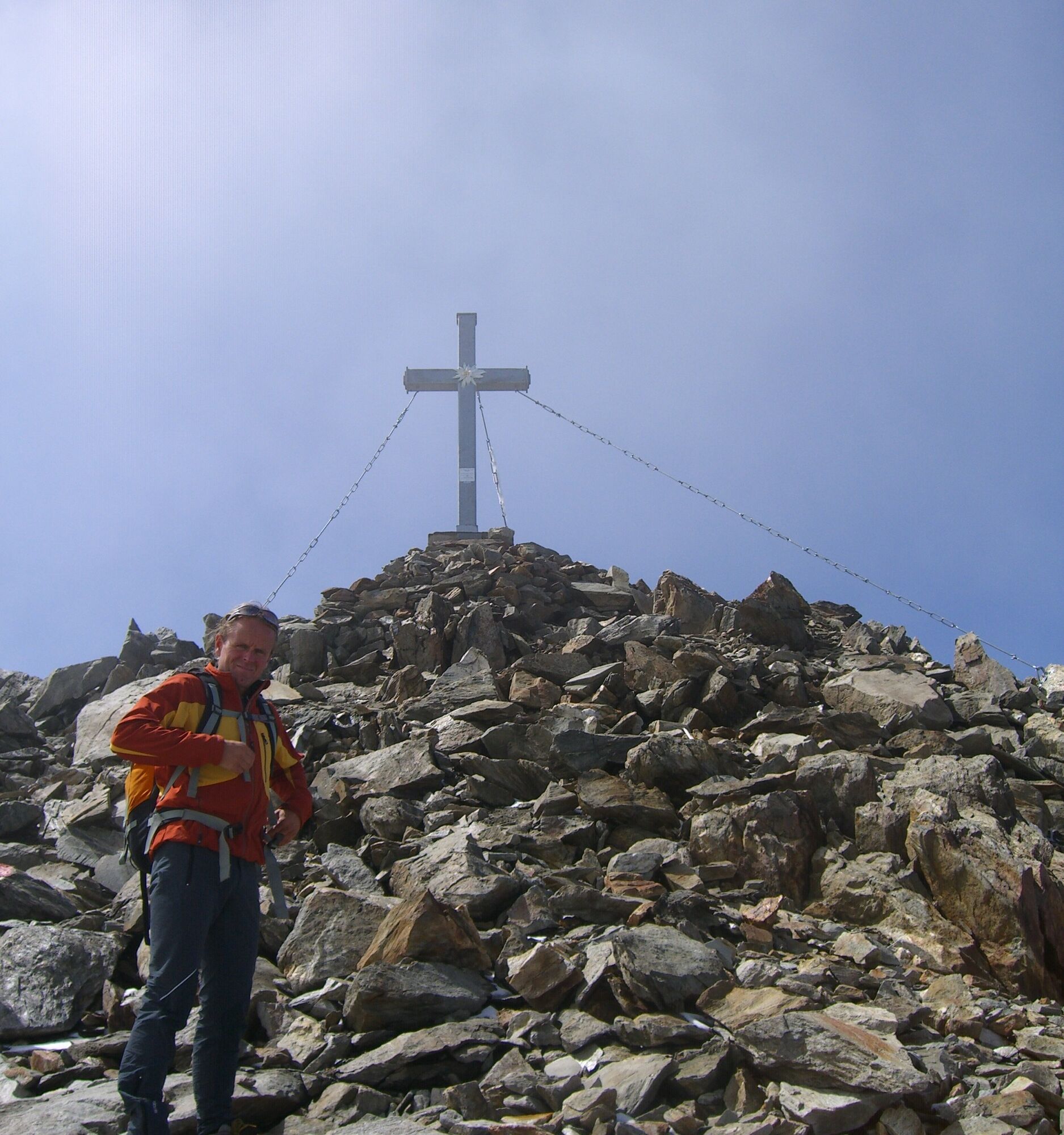
From the hut follow the path valley inward heading south to the Roter Knopf junction. Here turn right westward onto the wide southeast ridge, climb over the moraine and then above a small cirque lake up the ridge that becomes steeper and more distinctive upwards. Partly through boulder terrain reach the summit.
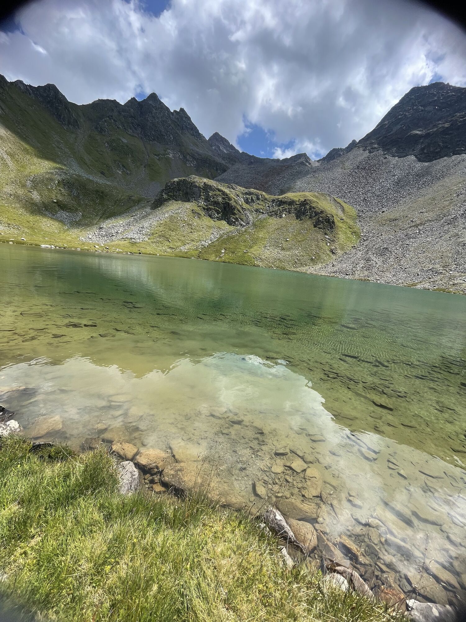
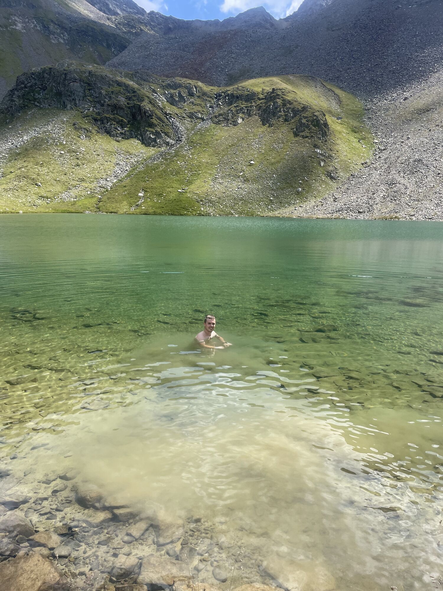
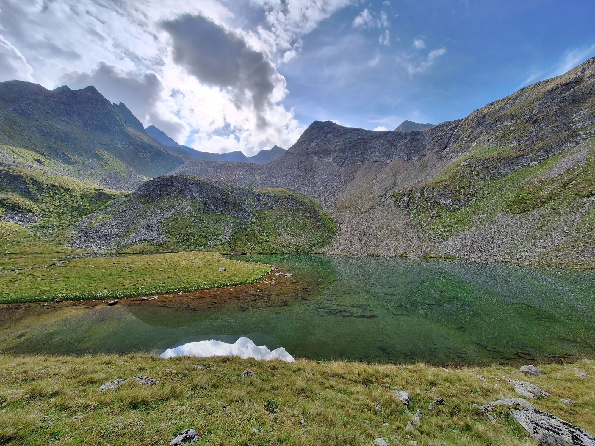
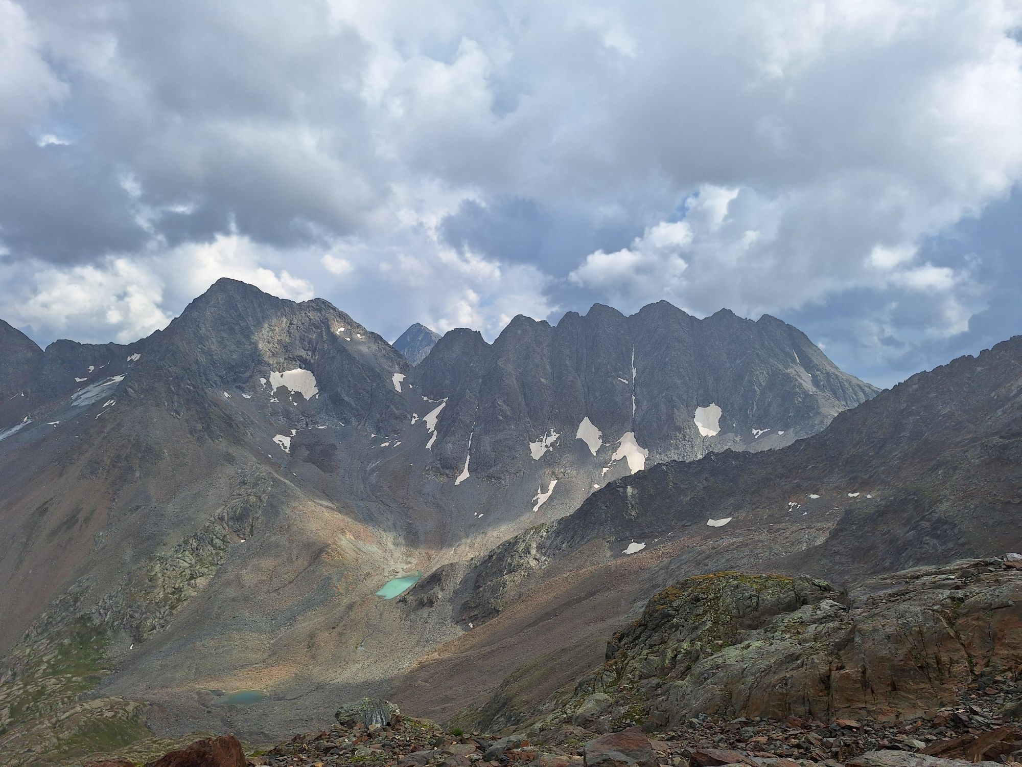
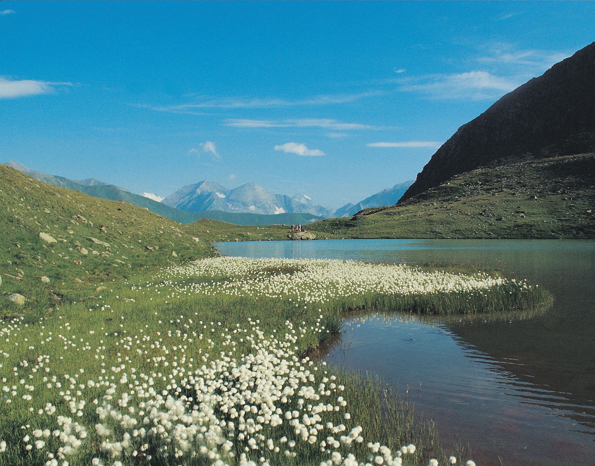
Descent possible the same way as ascent. However, we recommend the “Langtalseen” variant - three enchanting lakes, with lush cotton grass on the shores and uniquely located in secluded cirques of the Schober group.
Ano
Sturdy, ankle-high footwear, backpack with provisions, sweets and drink, warm jacket (or warm spare clothing)
We recommend that less experienced mountaineers undertake this route accompanied by a state-certified mountain guide! The mountain guide office Heiligenblut at Großglockner is happy to assist with organization at +43(0)4824-2700-7 or info@grossglockner-bergfuehrer.at.
From the center of Heiligenblut towards the Winkl district, at the Kärntnerhof Hotel follow the valley inwards to the Wolfgang Chapel. At the chapel turn left and follow the gravel road to the Gößnitzfall-Kachlmoor parking lot.
Gößnitzfall-Kachlmoor parking lot
An overnight stay at the Elberfelder Hut (Alpine club hut) is recommended!


Oblíbené prohlídky v okolí
- 4,9
Wangennitzsee Hütte
středníTuristika 3,80 km - 4,7
Geotrail Tauernfenster
světloTuristika 5,90 km - 4,9
Glockner
středníVysokohorská turistika 19 km - 4,7
Glödis 3206m: PP Seichenbrunn, Lienzer Hütte, Glödis KS A/B
heavyVysokohorská turistika 16,1 km - 5,0
Figerhorn, 2743m, Lucknerhaus
středníTuristika 6,69 km - 5,0
Rotenkogel
heavyTuristika 4,22 km - 4,1
Glacier Route to the Pasterze with Gamsgrubenweg (up to Tunnel 6)
středníTuristika 8,05 km - 4,3
Stüdlhütte -Großglockner
Turistika 4,68 km - 4,9
Kaiser-Franz-Josefs-Höhe to Oberwalderhütte
heavyTuristika 5,52 km - 4,2
Lucknerhaus zur Glorerhütte über Lucknerhütte zurück
středníTuristika 11,2 km
Pěší turistika a stopování


Nenechte si ujít nabídky a inspiraci pro vaši příští dovolenou
Vaše e-mailová adresa byl přidán do poštovního seznamu.