


Almenwasserweg - Flattnitz

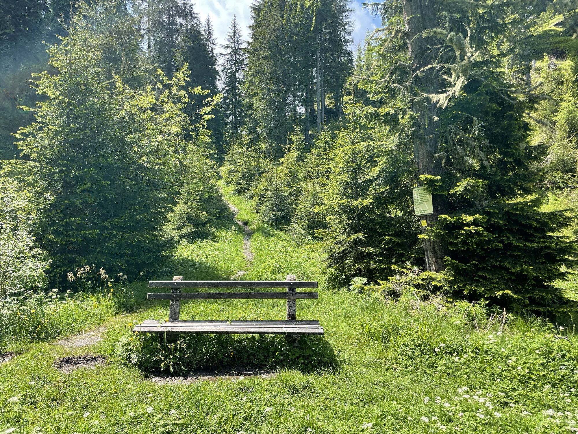
The Almenwasserweg Flattnitz starts at the hiking starting point directly below the reservoir pond on the Flattnitz, where the 1st station, the water spiral, is located. This can drive the water wheel...
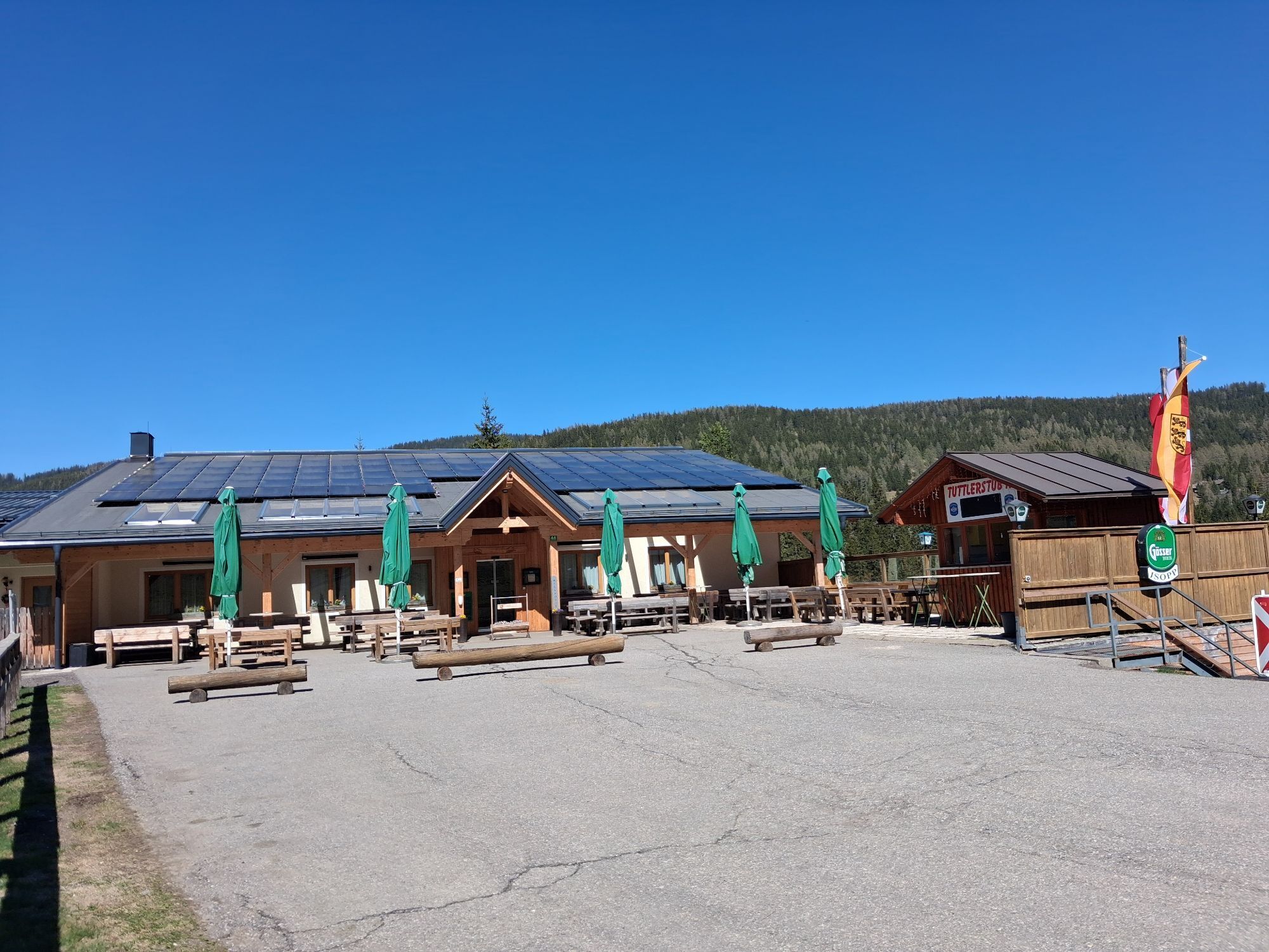
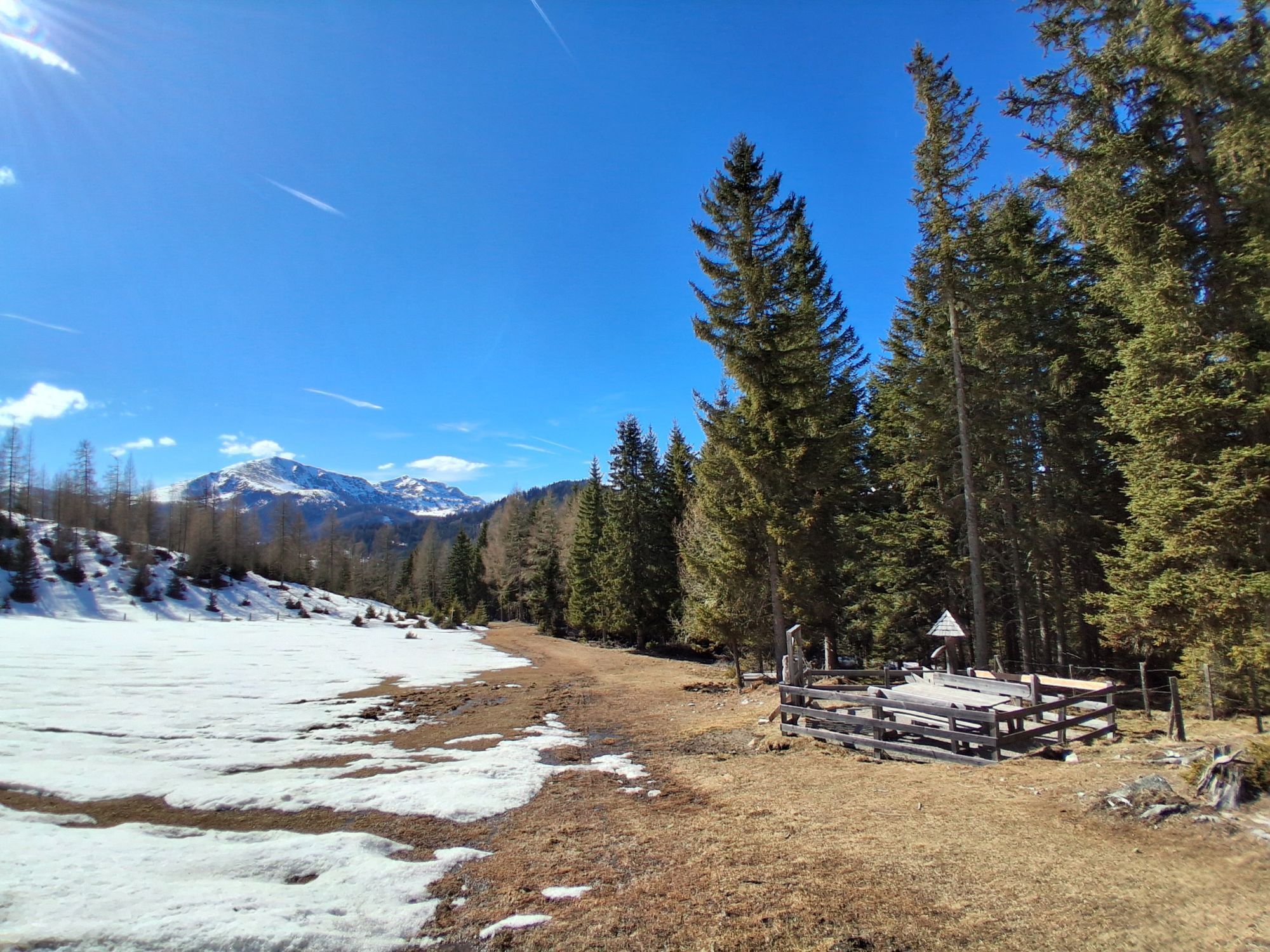
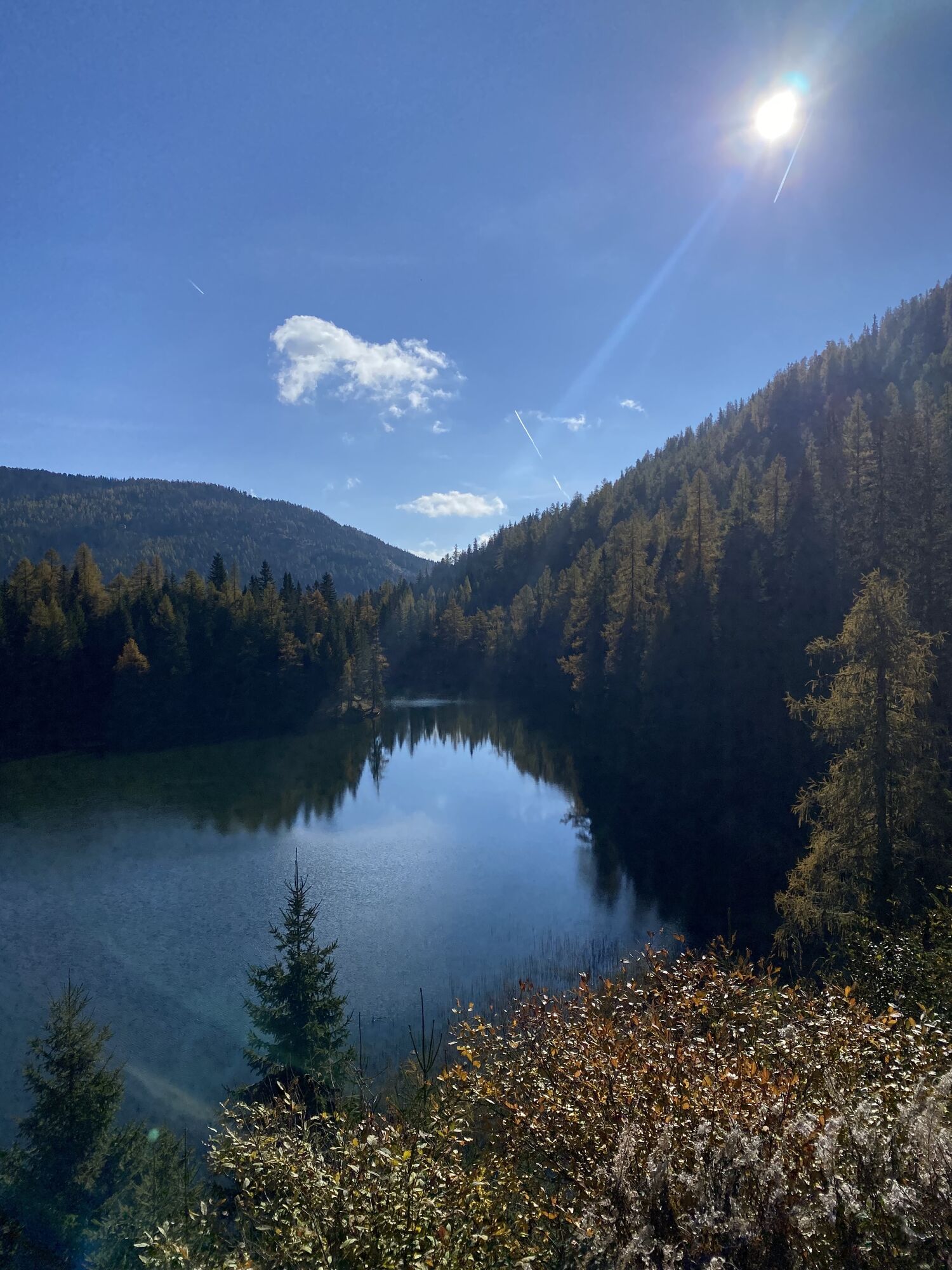
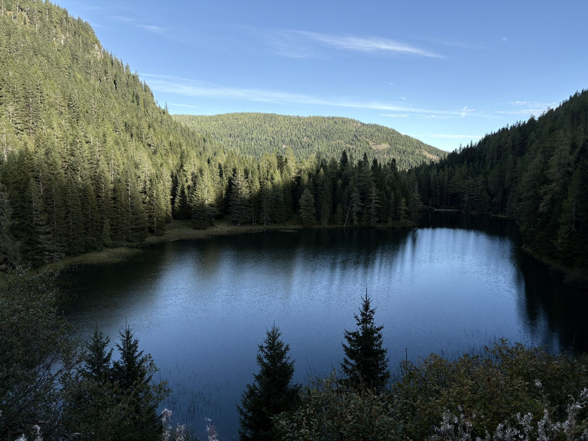
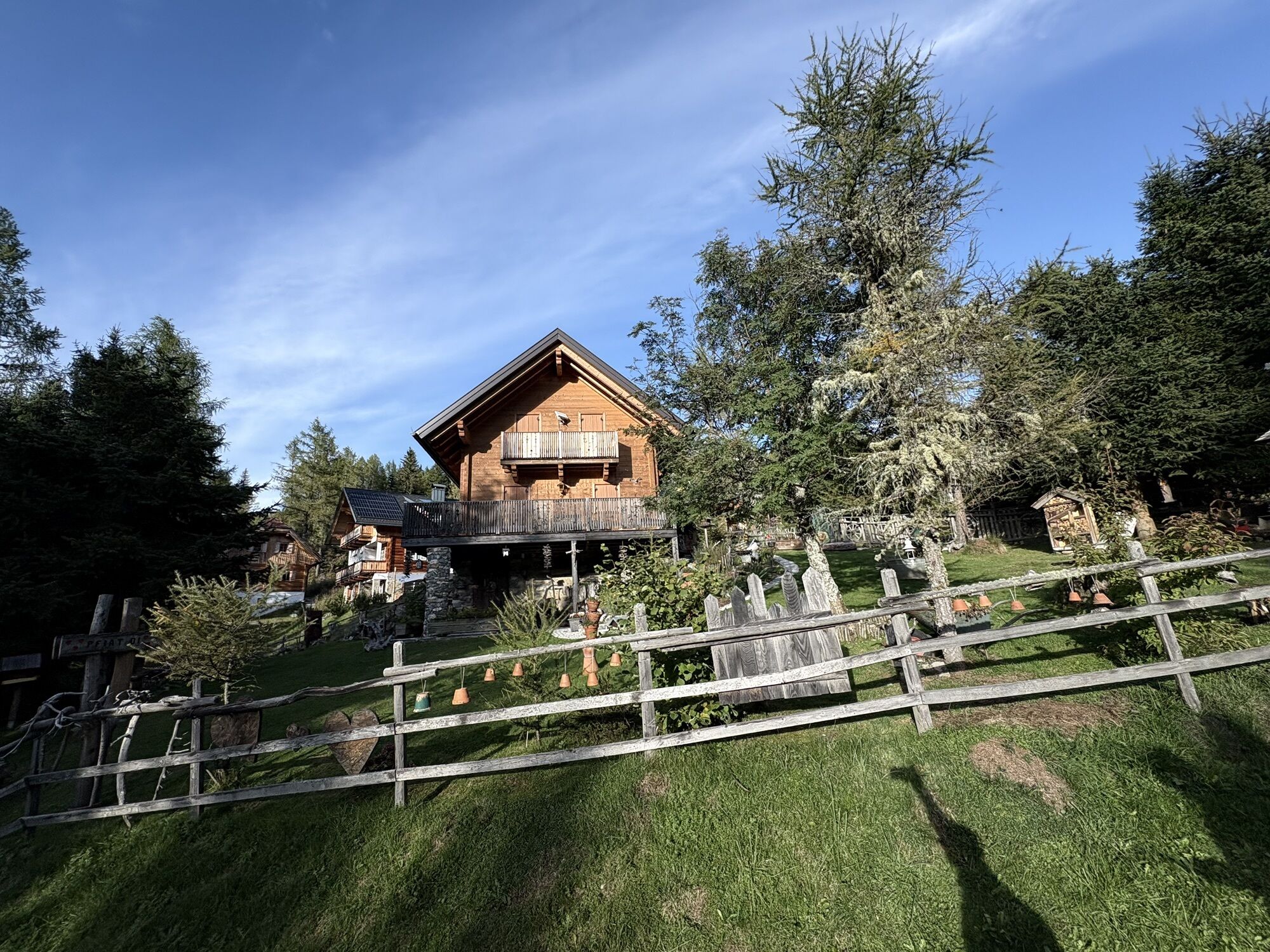
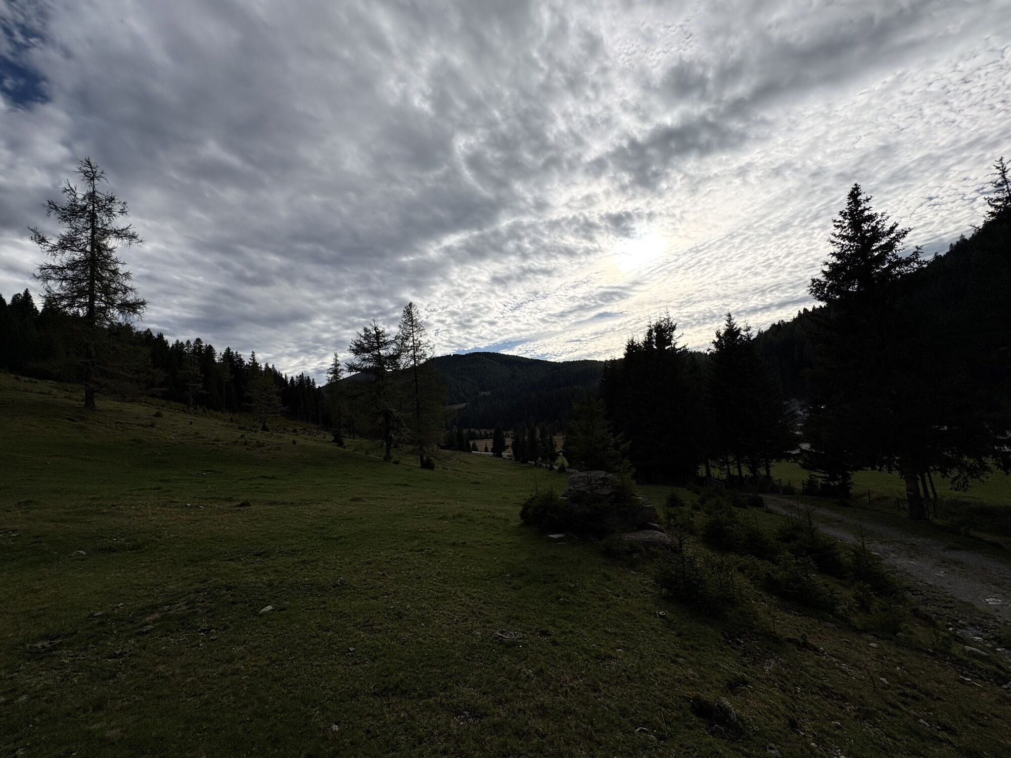
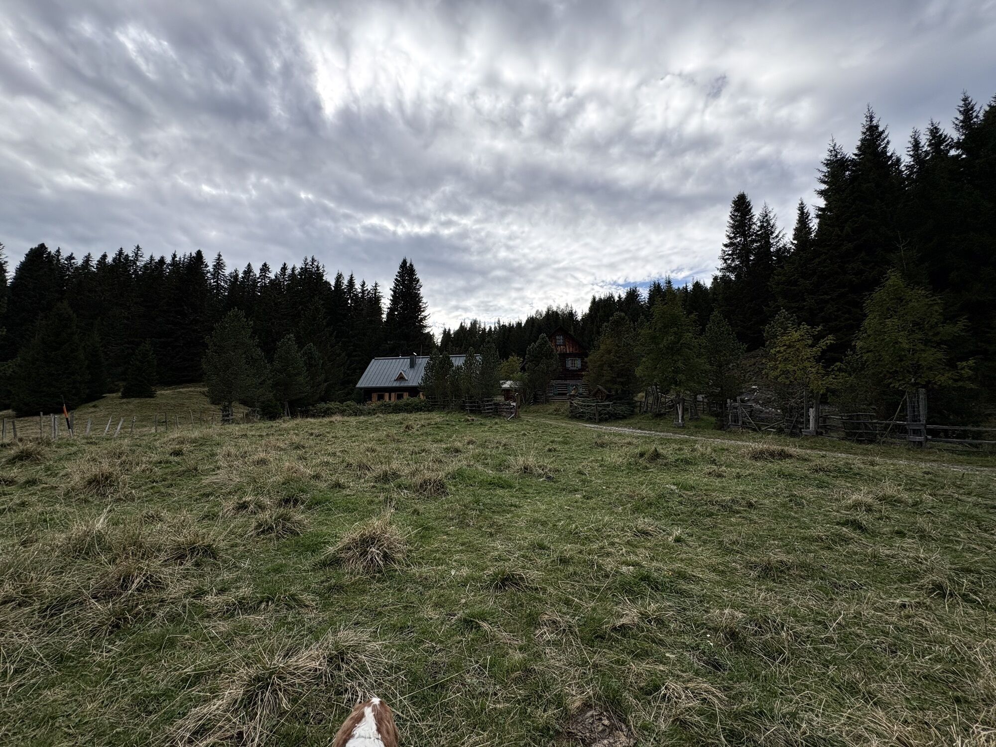
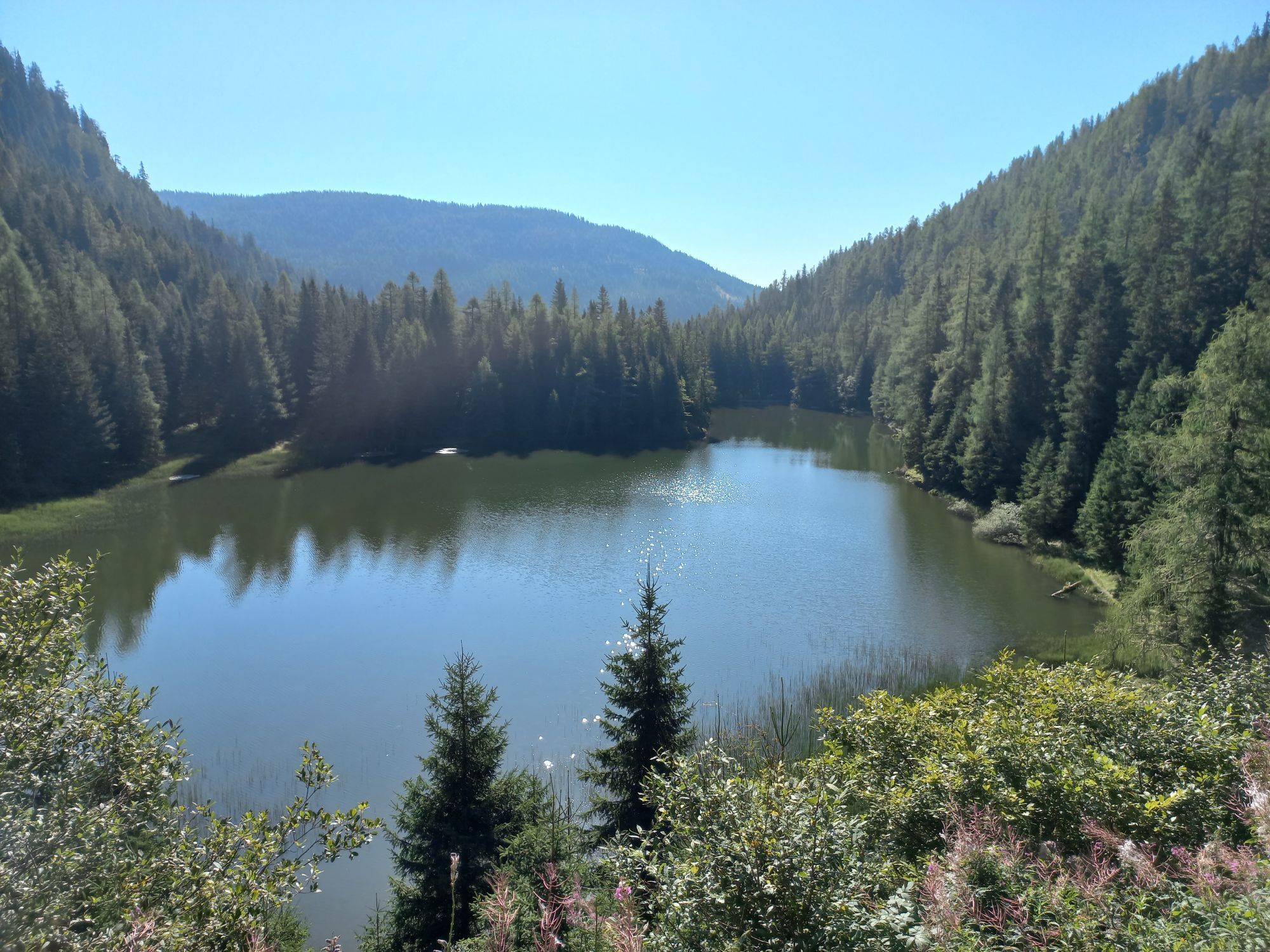
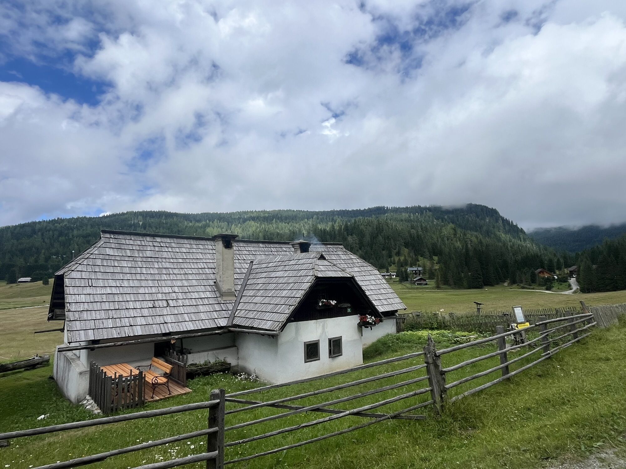
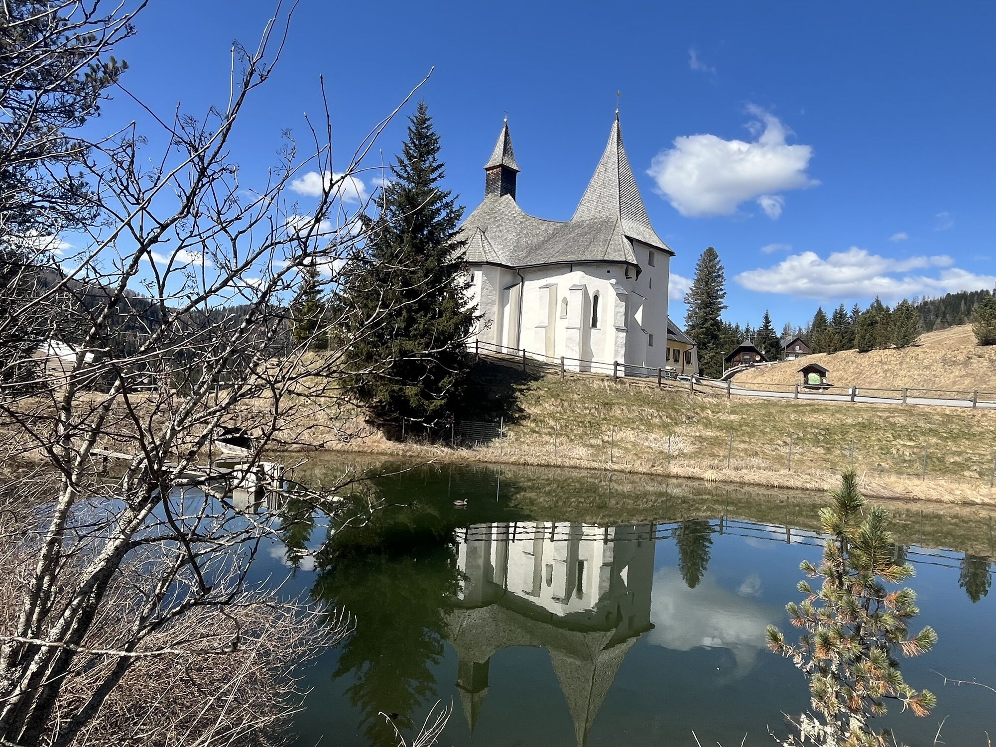
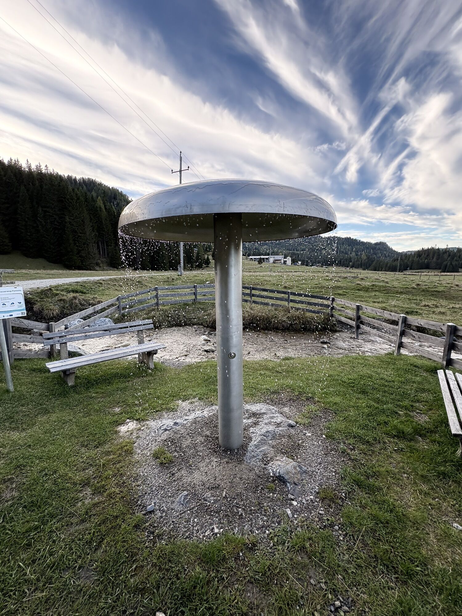
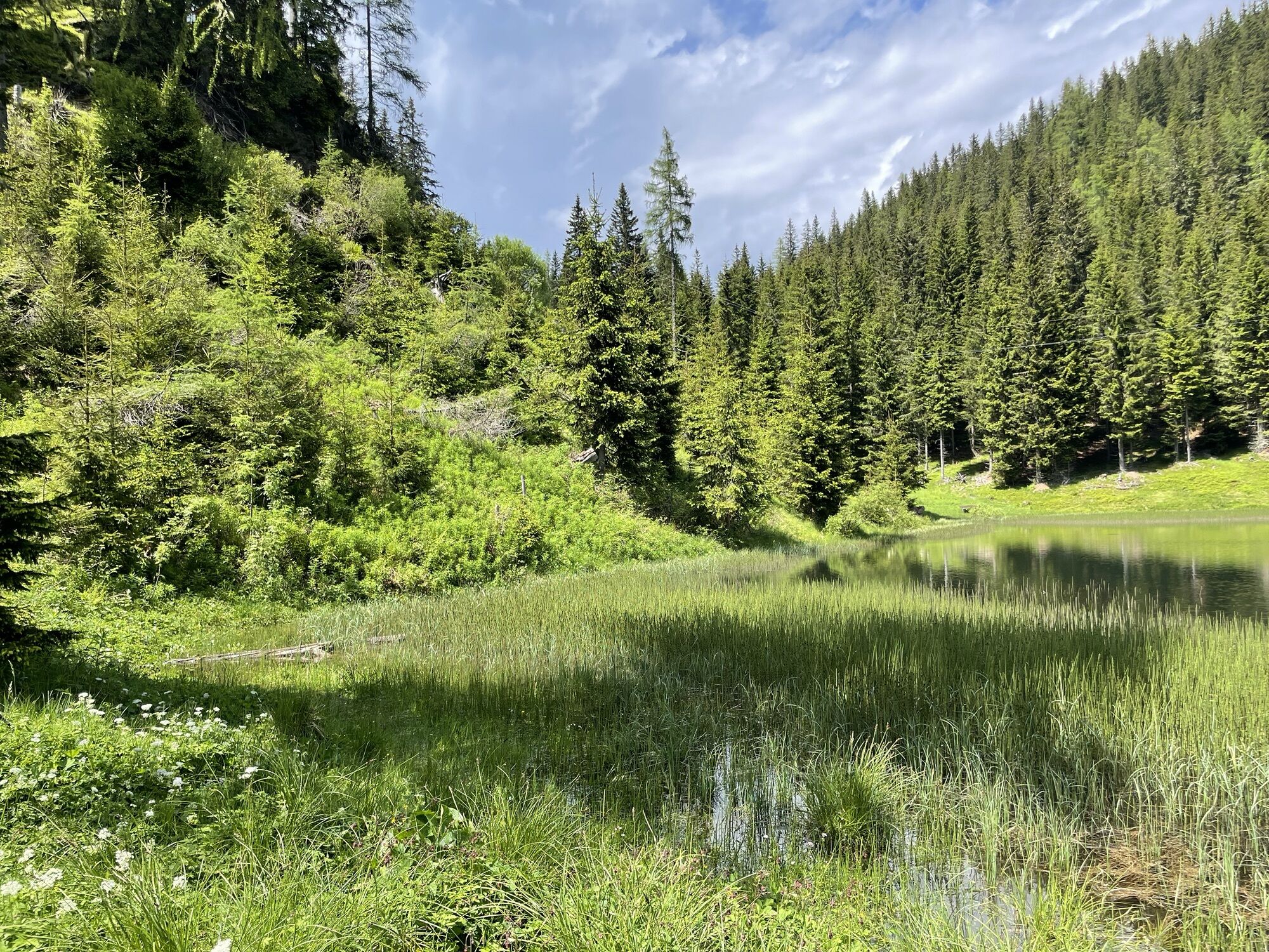
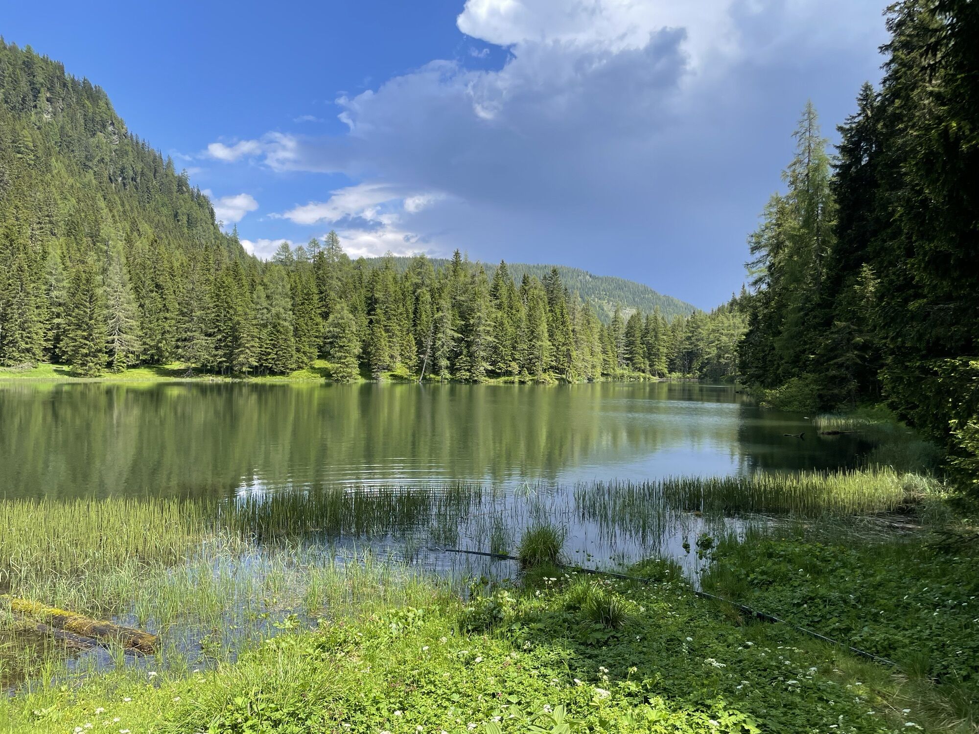
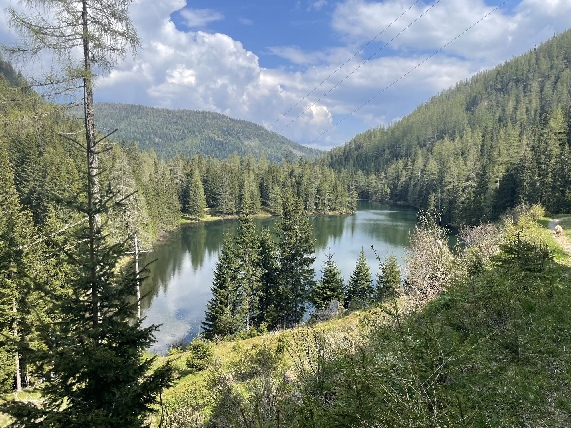
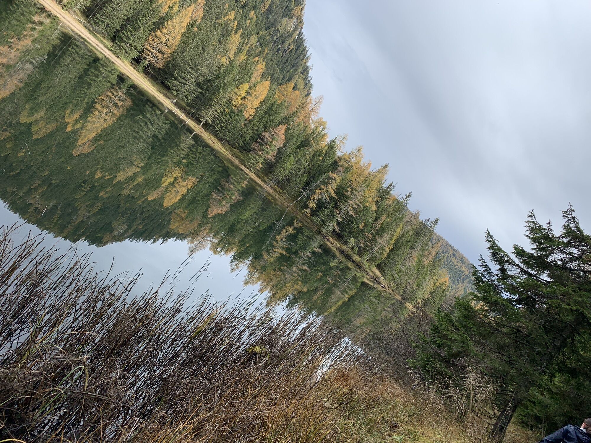
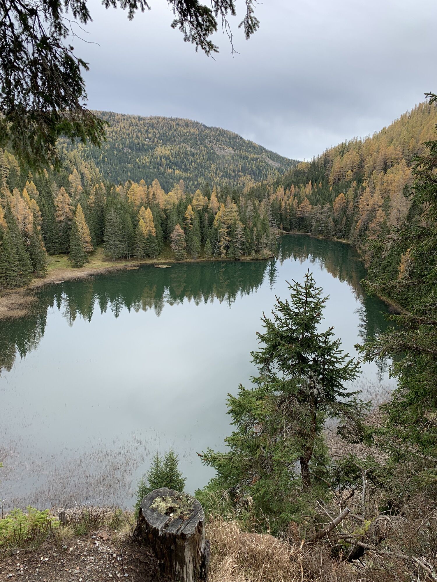
The Almenwasserweg Flattnitz starts at the hiking starting point directly below the reservoir pond on the Flattnitz, where the 1st station, the water spiral, is located. This can drive the water wheel with enough energy. It continues through the hut village to the 2nd station, the stream. Here you learn how water can find its way. At the Pfandl hut is the 3rd station, the Laier fountain. High up on the Fuggeralm is the 4th station. After the descent, directly below the Alpenhotel Ladinig is the 5th station, the relaxing lounger with a view of the Flattnitz high moor. The 6th station, the lake view, is located directly above Flattnitzer Lake and invites you to take a short break. The 7th and last station at the Spitzer hut is the alpine shower. It offers a great refreshment after the hike. Via the parking lot of the Alpengasthof Isopp, after about two hours of hiking time, you return to the starting point.


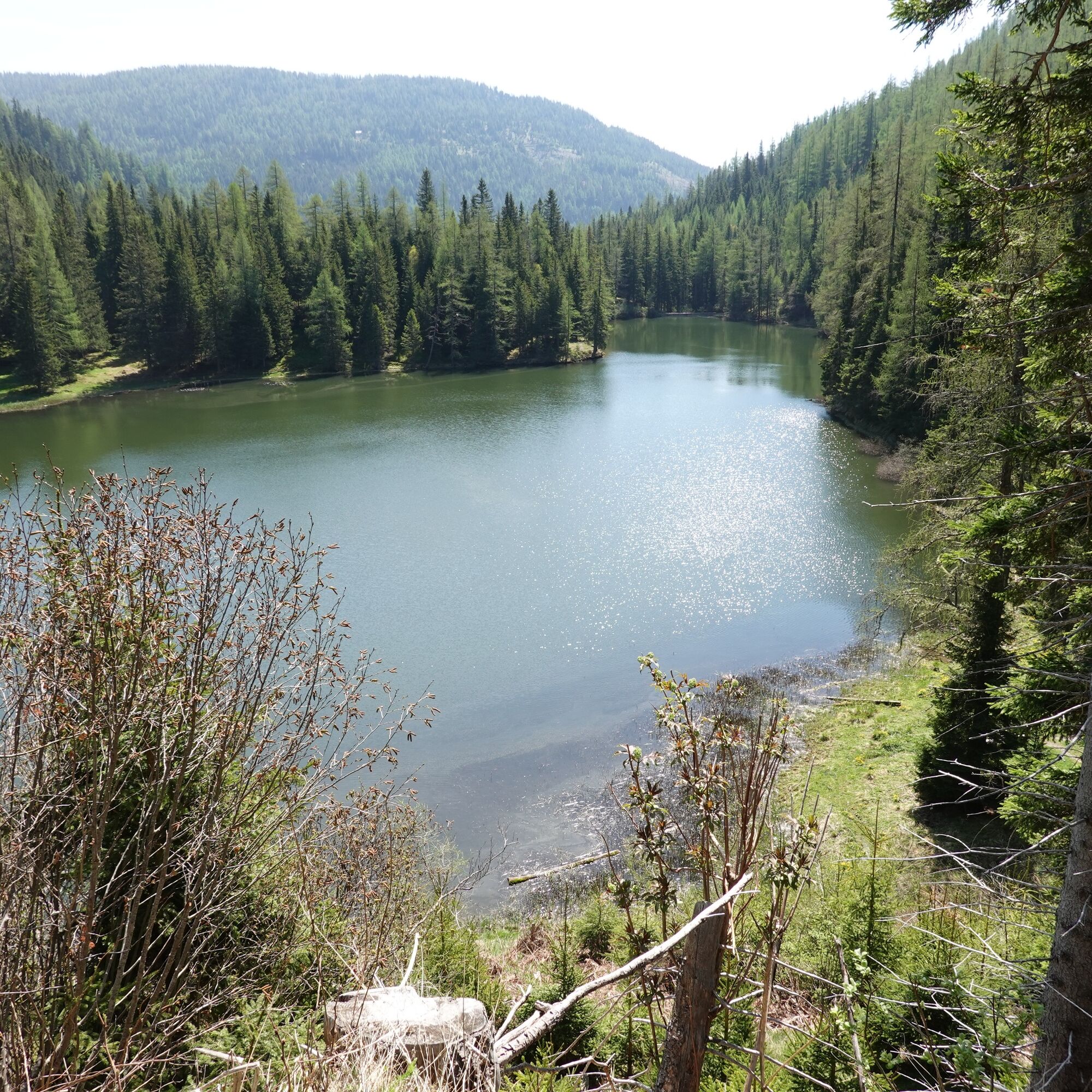
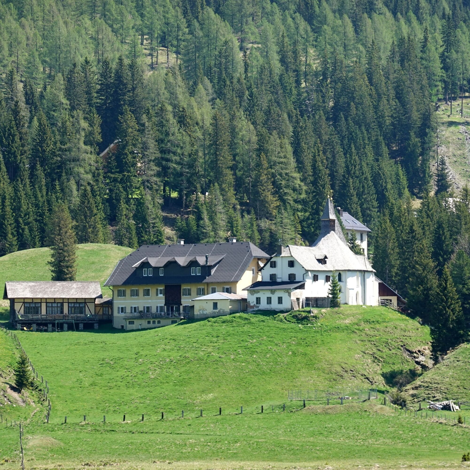


The hike starts at the valley station of the chairlift on the Flattnitz. You follow the road below the reservoir pond to the Flattnitz hut village. Then continue on the signposted path to the Pfandl hut. There, turn right and go a short distance up the road to L63, turn left and follow L63 for a short stretch. Then turn right towards Fugger hut and follow the signposted path until you return to Flattnitz. Passing the Alpenhotel Ladinig, continue to Flattnitzer Lake and finally go over Spitzeralm back to the starting point.
Ano
Sturdy footwear, rain protection, hiking provisions
Please inform someone where you are going and when you want to be back
Herold route planner:
www.herold.at/routenplaner
ÖBB timetable information:
https://fahrplan.oebb.at/webapp/#!P|TP!H|186962
In summer, you can also use the regional hiking bus, which goes from St. Veit to the Flattnitz. You have the possibility to get on at several stops.
Further information at +43 4212/45608 or office@mittelkaernten.at
Large parking lot at the Hirnkopf lift.
find more routes here:
https://regio.outdooractive.com/oar-mittelkaernten/de/
The circular hike offers as attraction 7 stations:
Water spiral
Stream
Laier fountain
Alpine view
Relaxing lounger
Lake view
Rainmaker

Oblíbené prohlídky v okolí
- 4,6
Turracher 3 Seen Weg - Weg der Sinne zwischen Berg & See
světloTematická stezka 7,15 km - 4,7
Schoberriegel - Schönebennock -
světloTuristika 9,88 km - 4,6
Hochrindl - Lattersteighöhe
středníTuristika 9,17 km - 4,5
Hochrindl-weises Kreuz
středníTuristika 12,4 km - 4,8
Kneipp hiking path Flattnitz
světloTuristika 9,79 km - 4,6
Circular route Rinsennock
středníTuristika 7,46 km - 3,5
Flattnitz Haidnerhöhe - Hirnkopf
středníTuristika 6,93 km - 4,0
Hochrindl - Almhütten-Wanderung (AGW Almgenussweg ) um den Kegel
světloTuristika 9,31 km - 4,3
Rundwanderung Hochrindl - Speickkofel - Bretthöhe - Lattersteig
heavyTuristika 20,9 km - 4,3
kl.Speikkofel, gr.Speikkofel, Bretthöhe
středníZimní turistika 14,1 km

Pěší turistika a stopování


Nenechte si ujít nabídky a inspiraci pro vaši příští dovolenou
Vaše e-mailová adresa byl přidán do poštovního seznamu.