







High route towards Salzkofel
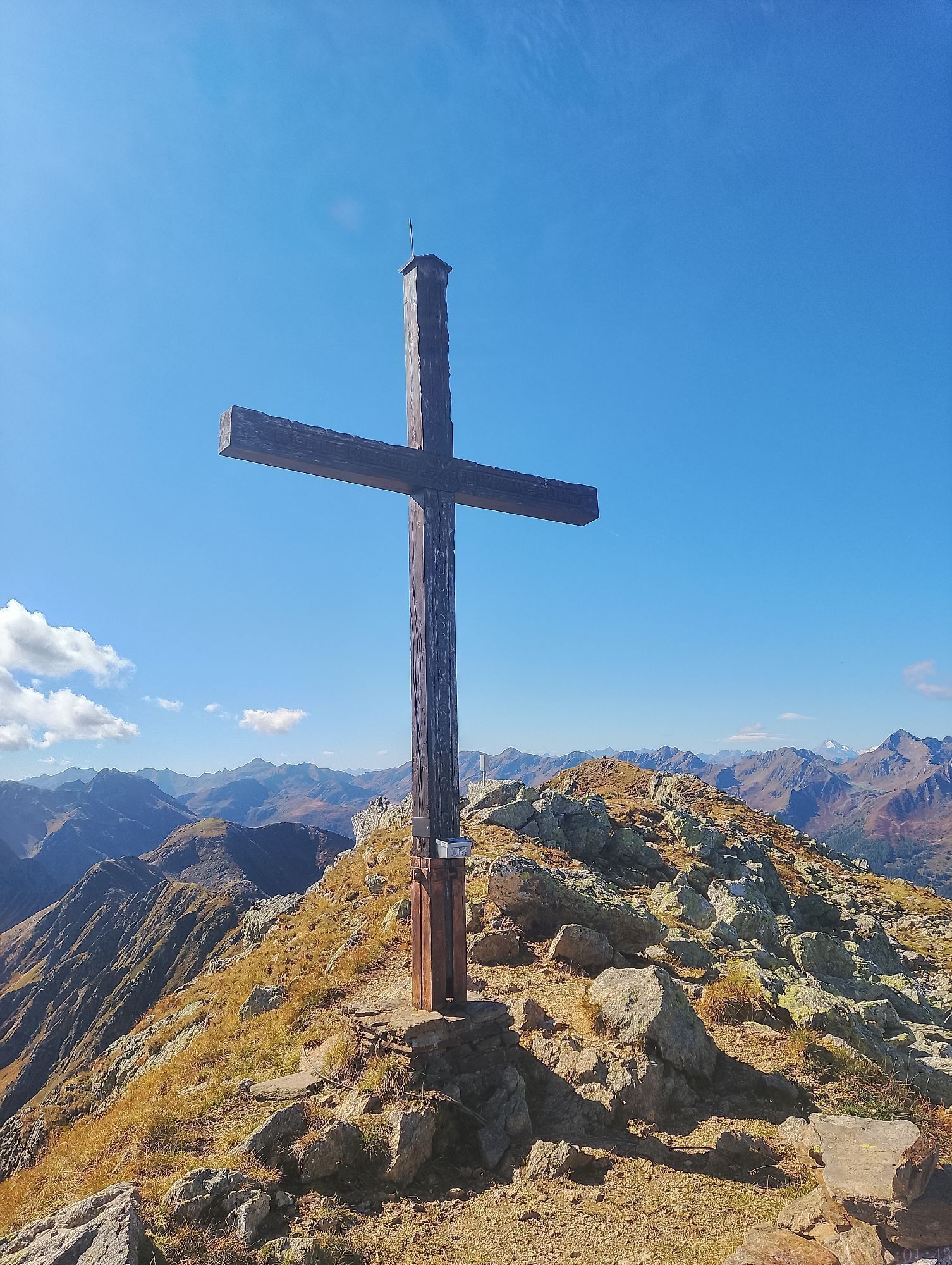
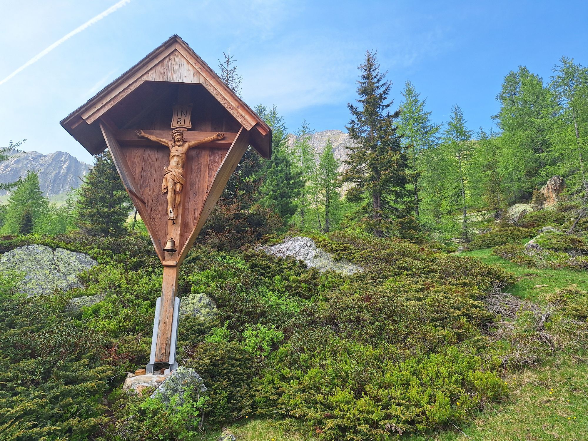
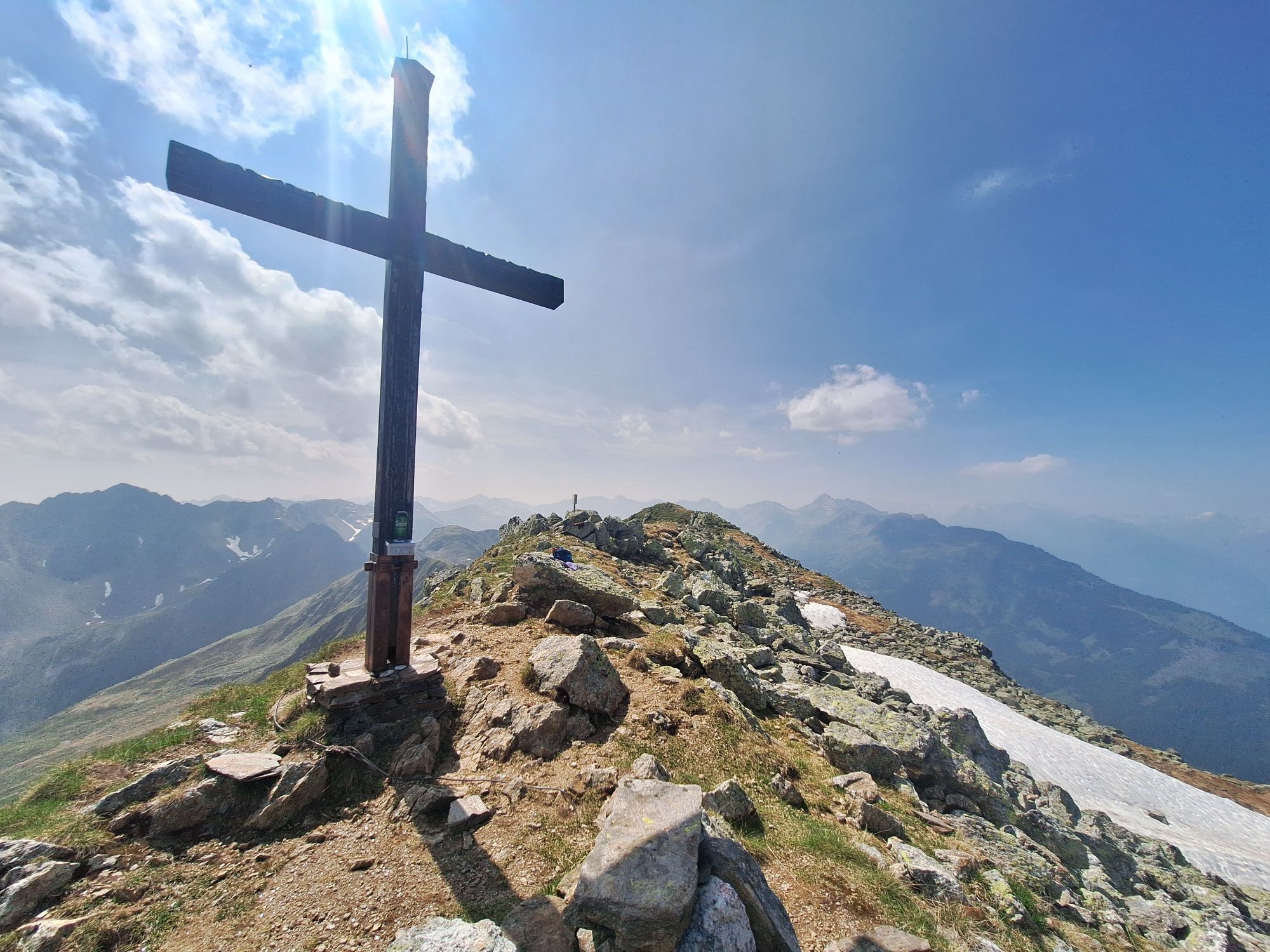
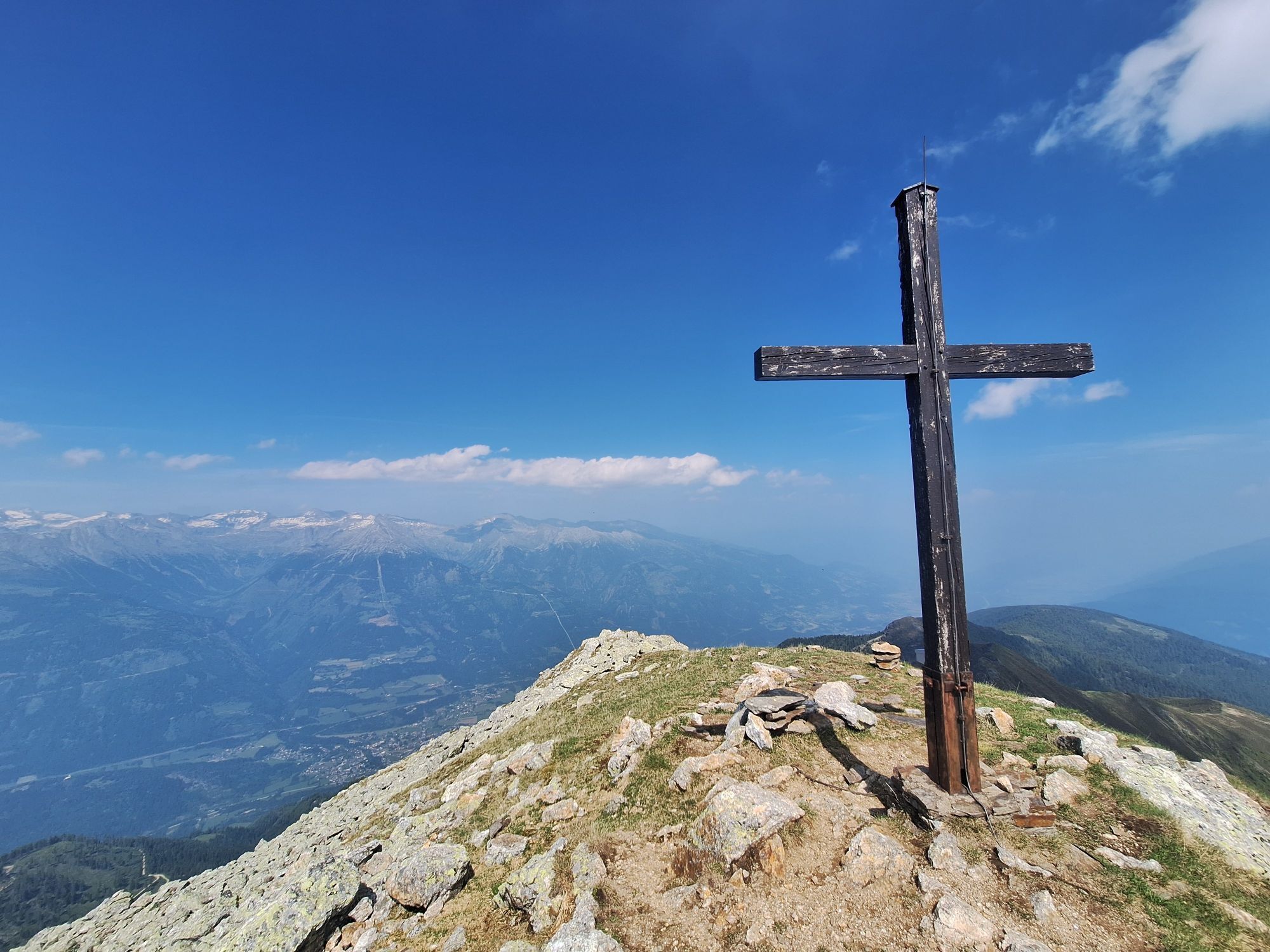
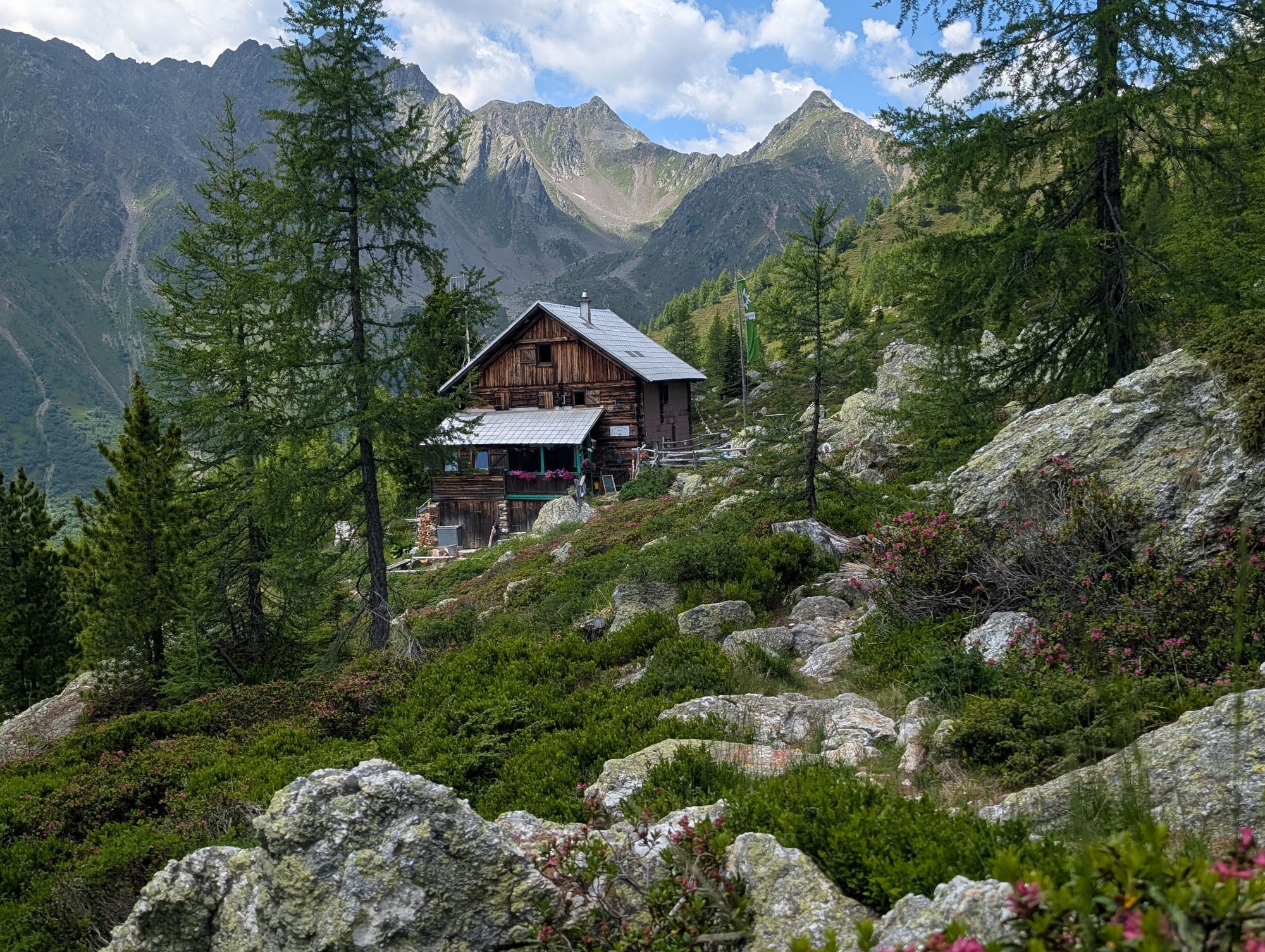
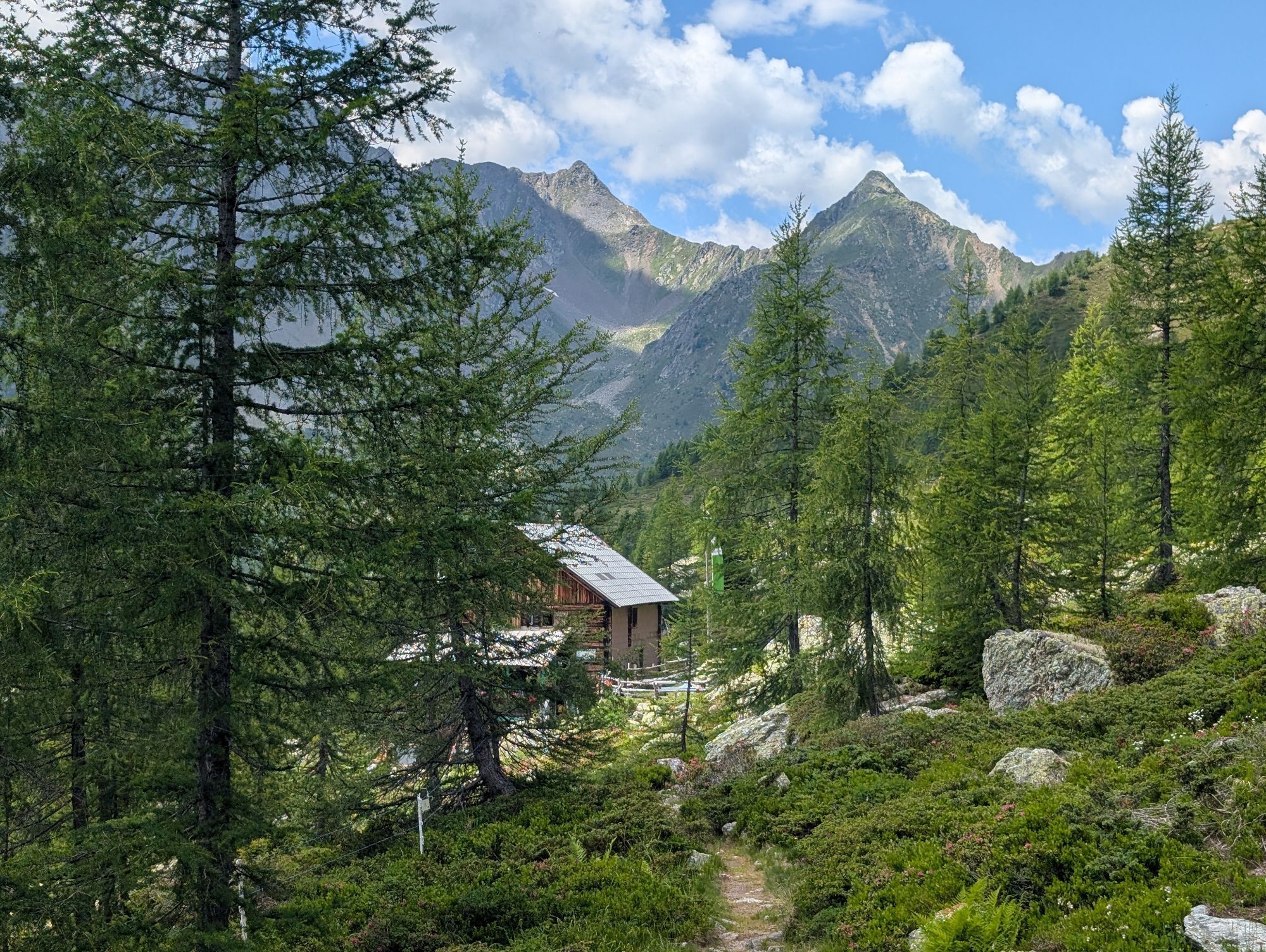
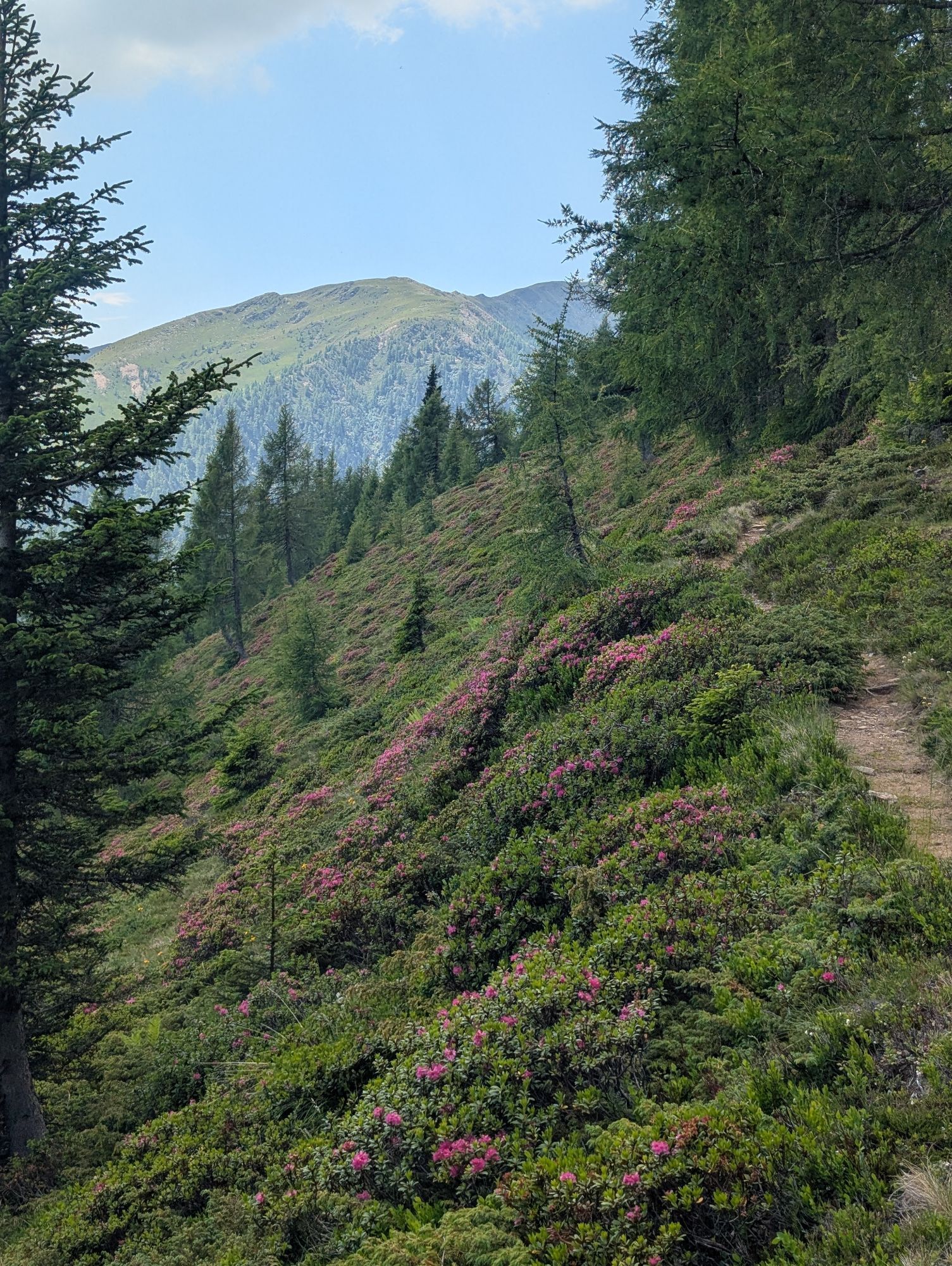
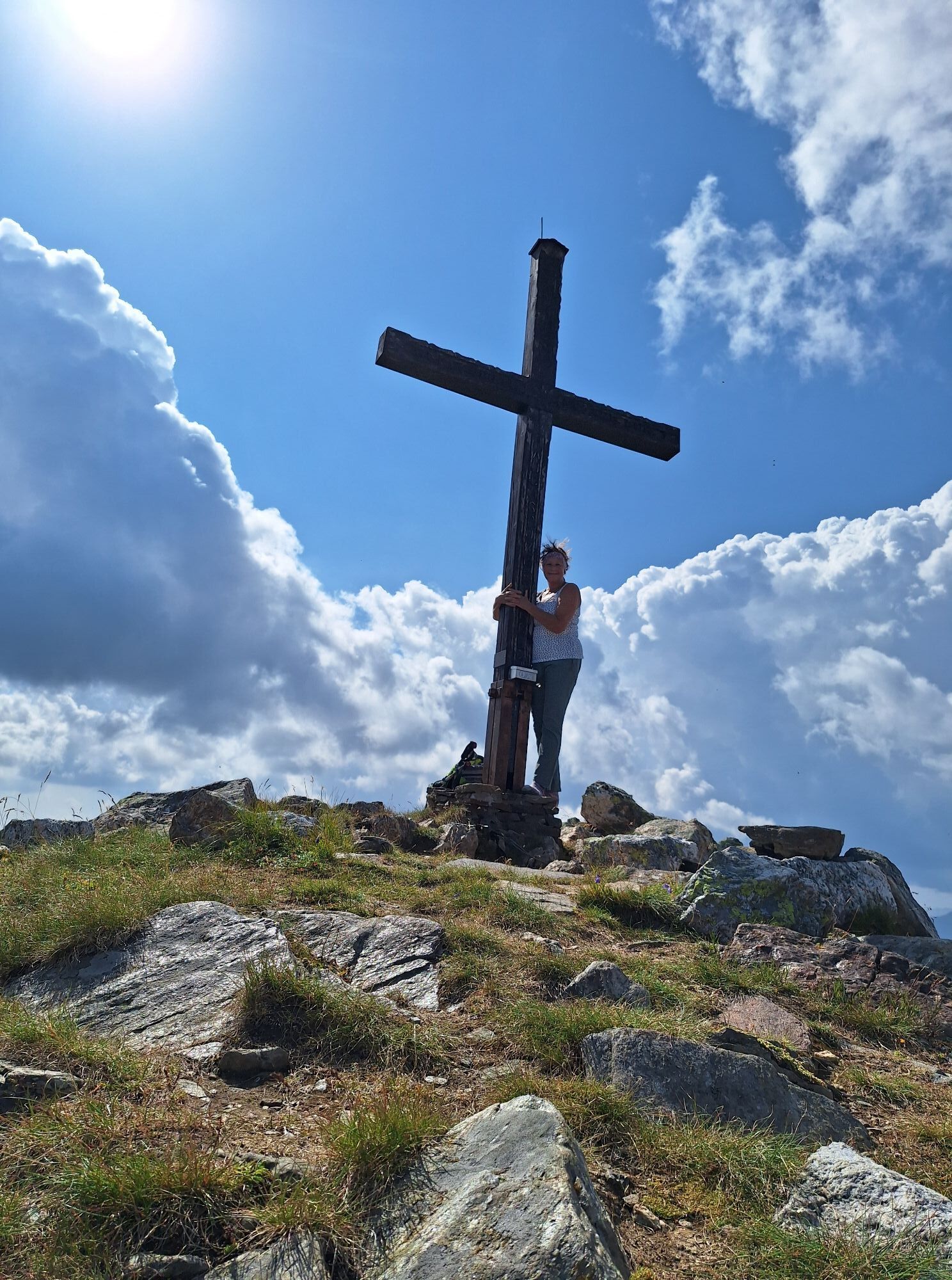
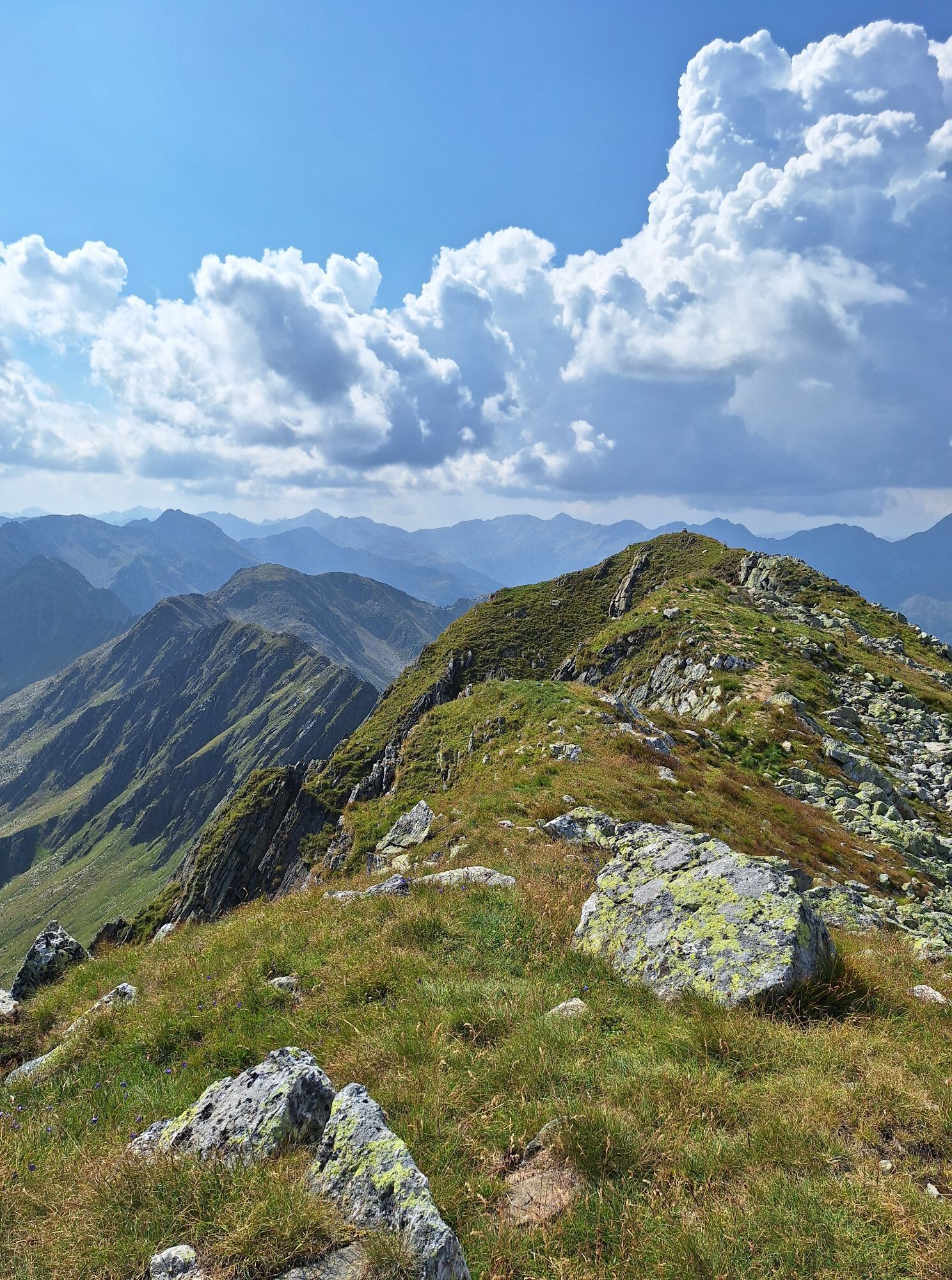
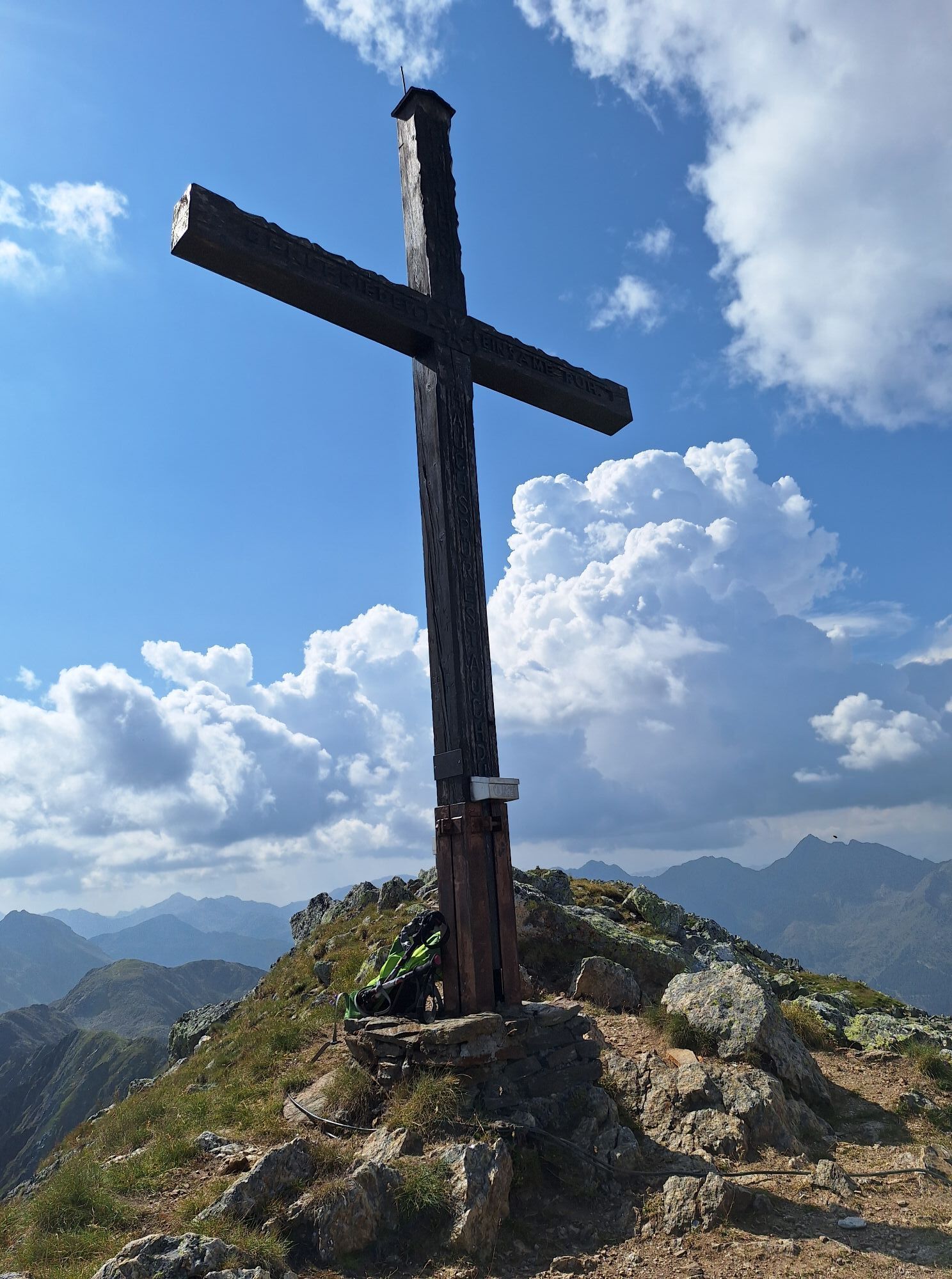
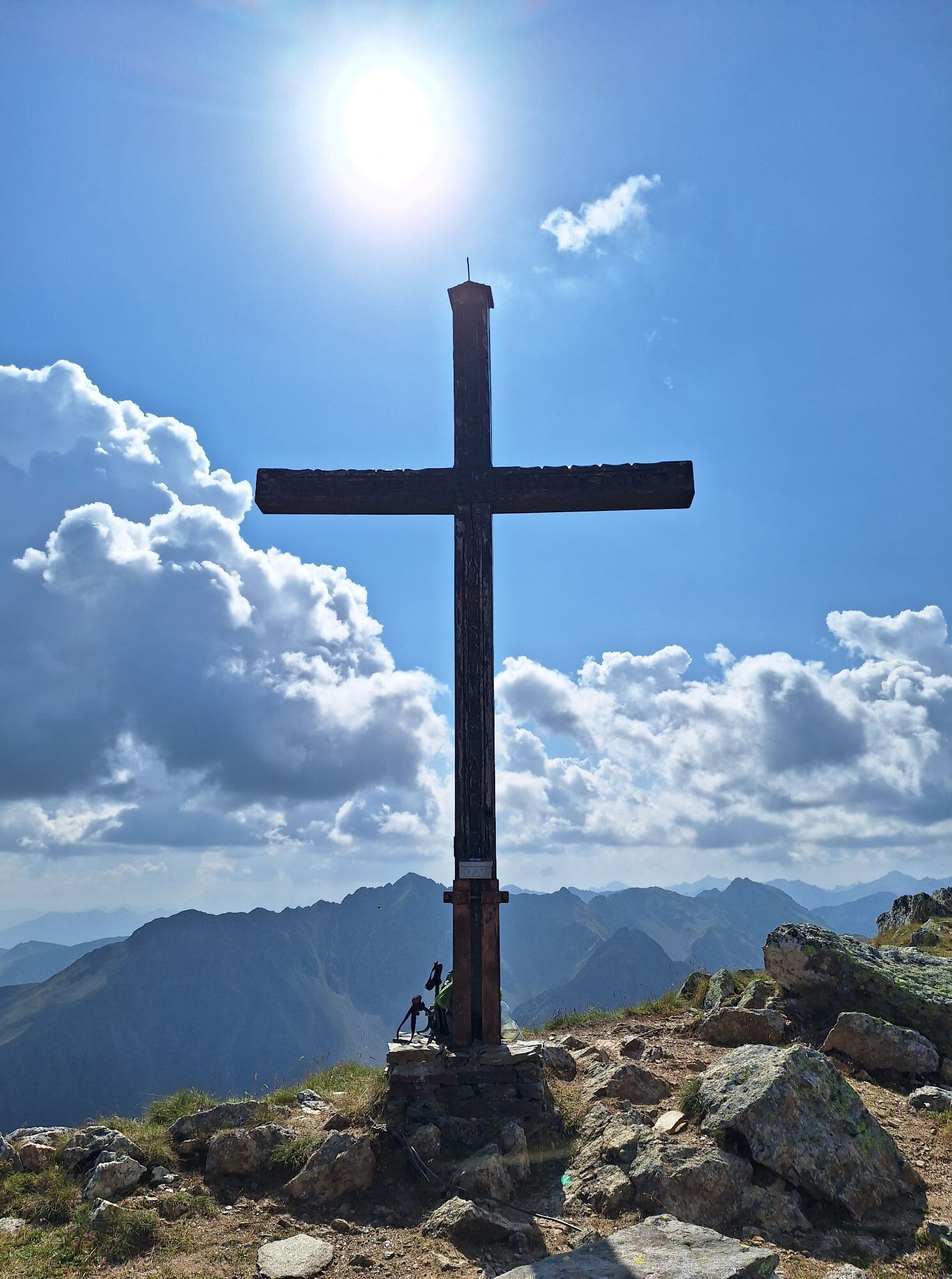
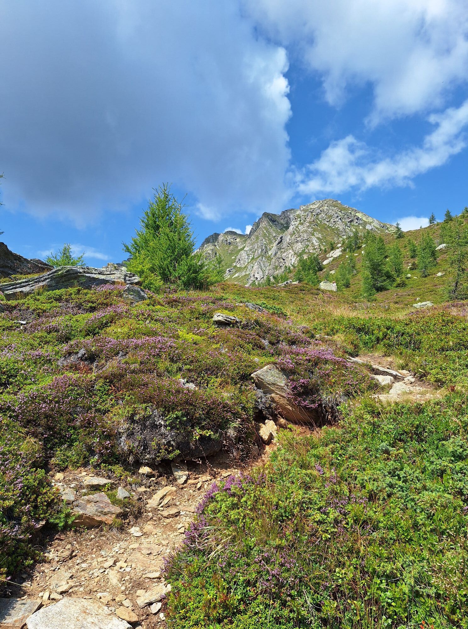
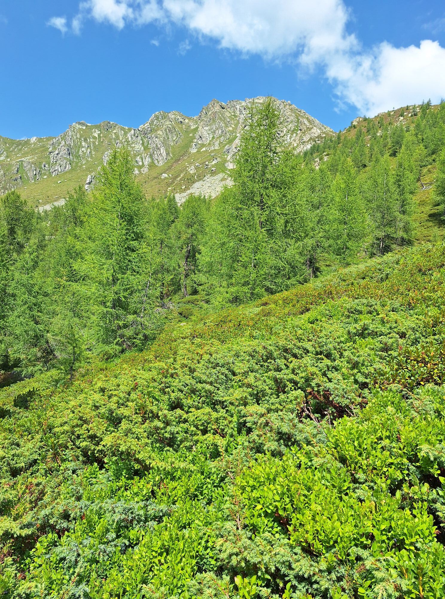
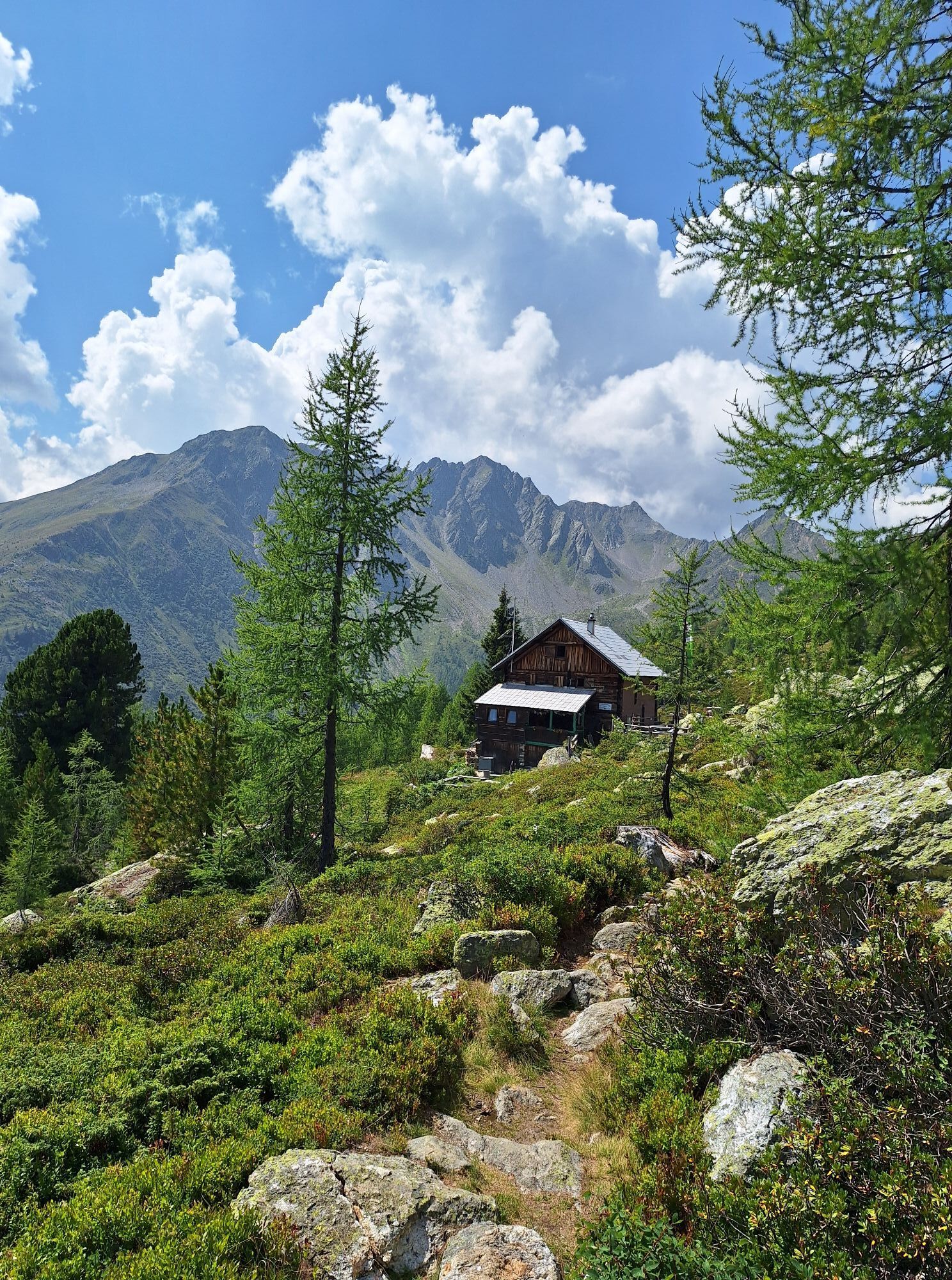
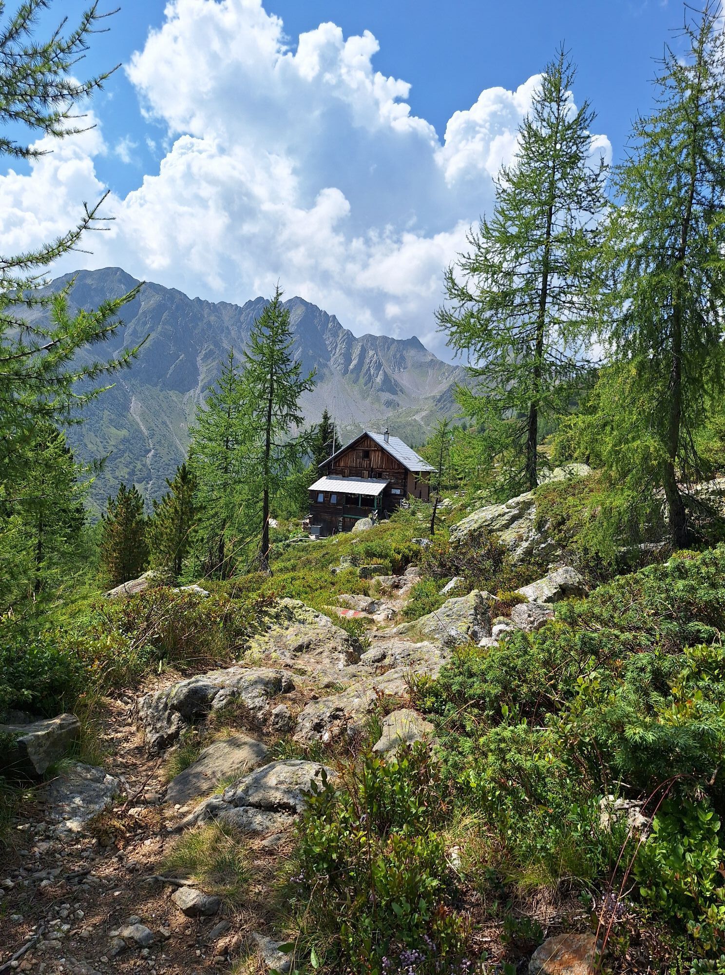
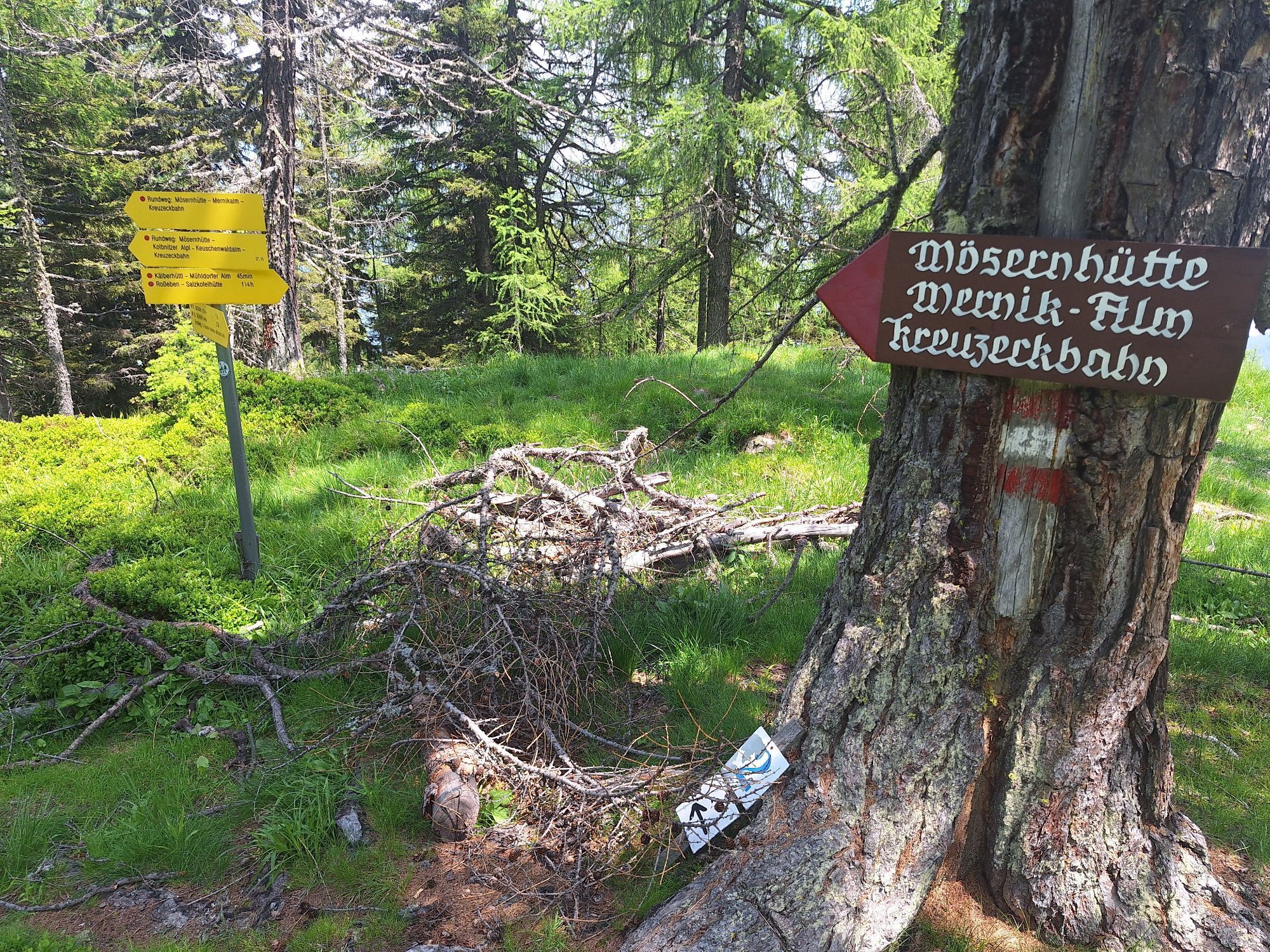
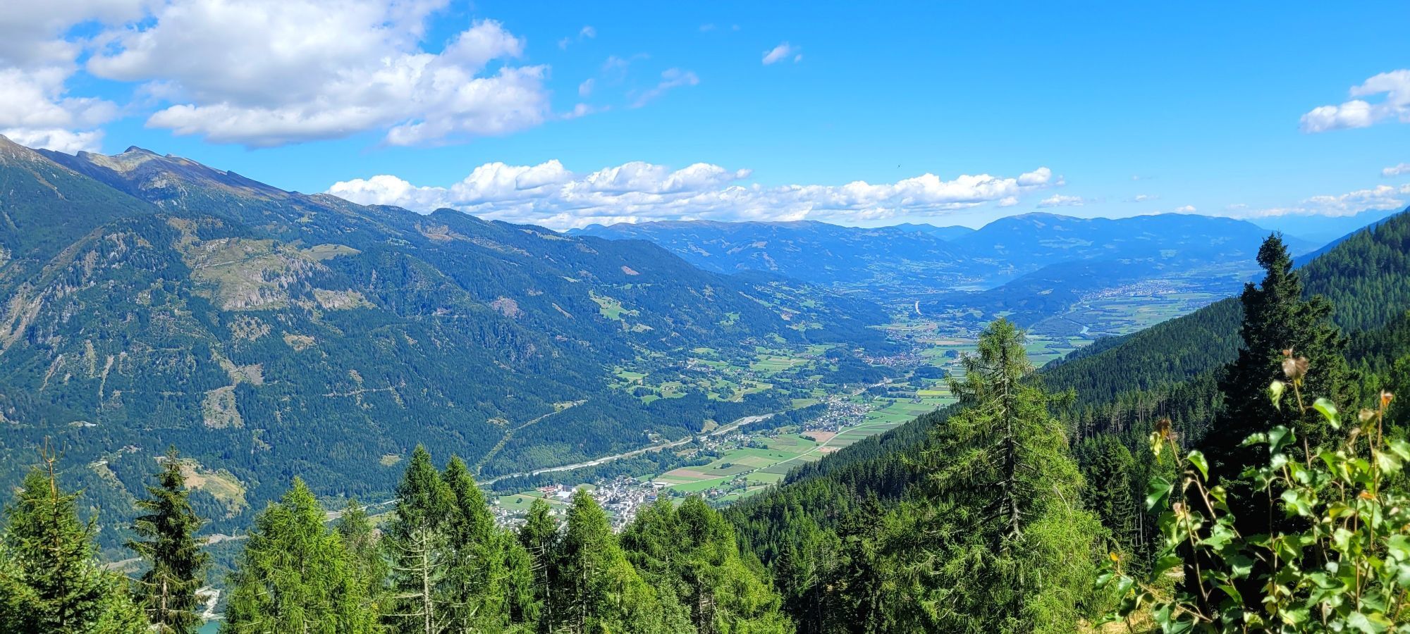
Ascent with the Kreuzeck panoramic cable car. From the mountain station, the hike leads from the Mernikalm to the Mühldorfer Alm. The path becomes steeper leading to the Salzkofel hut and our destination,...
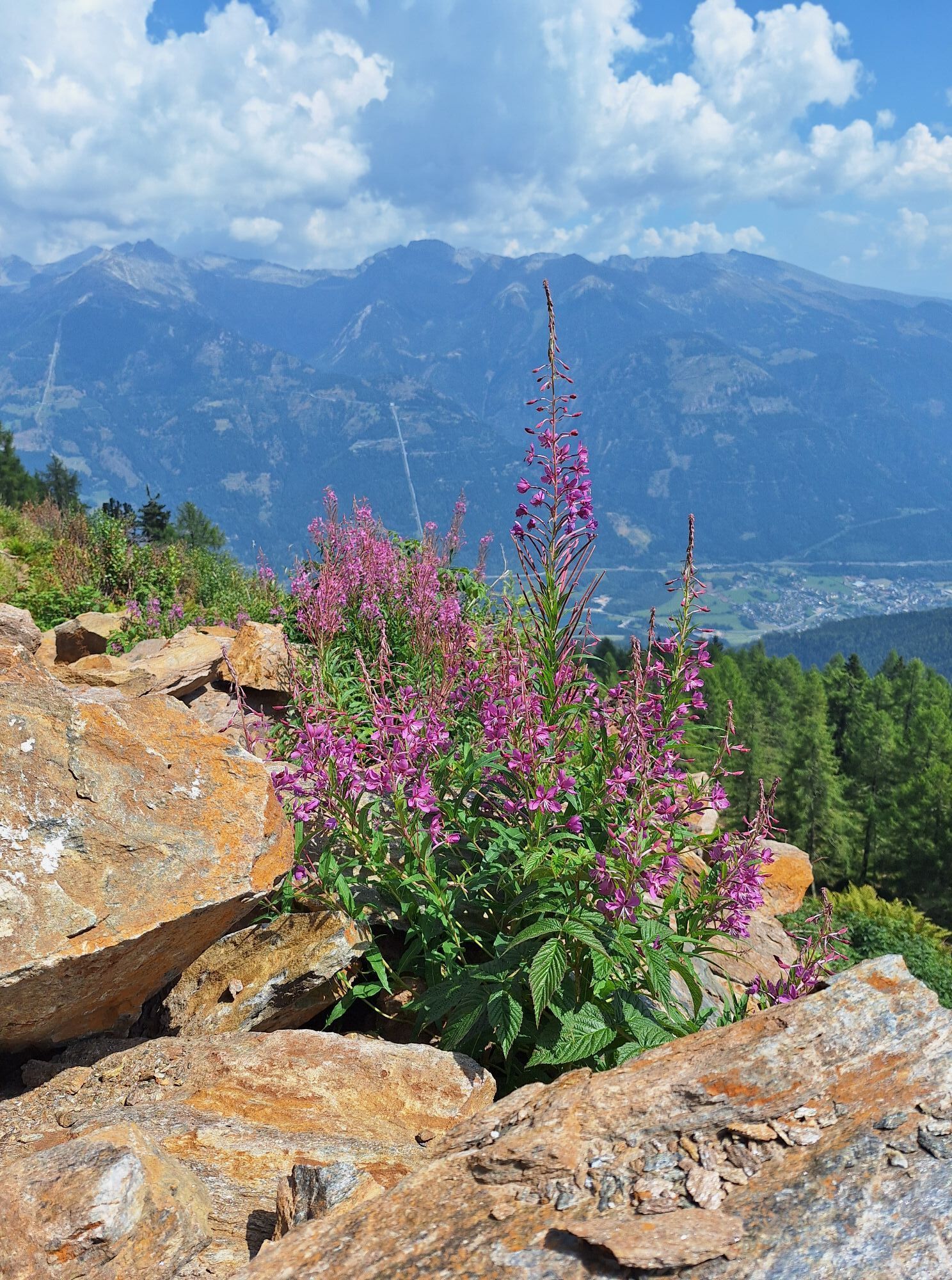
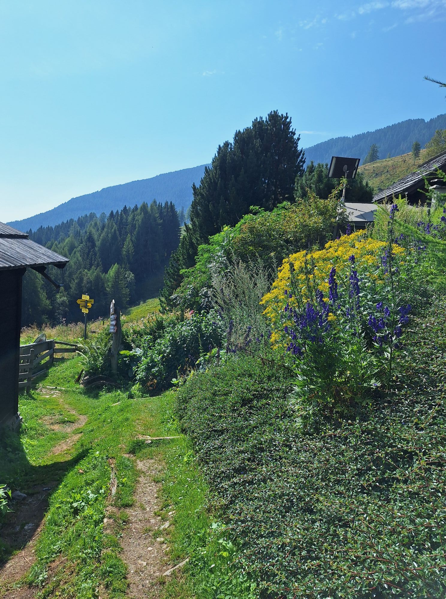
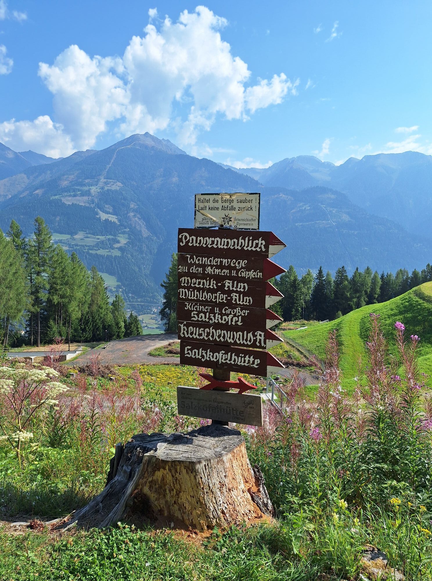
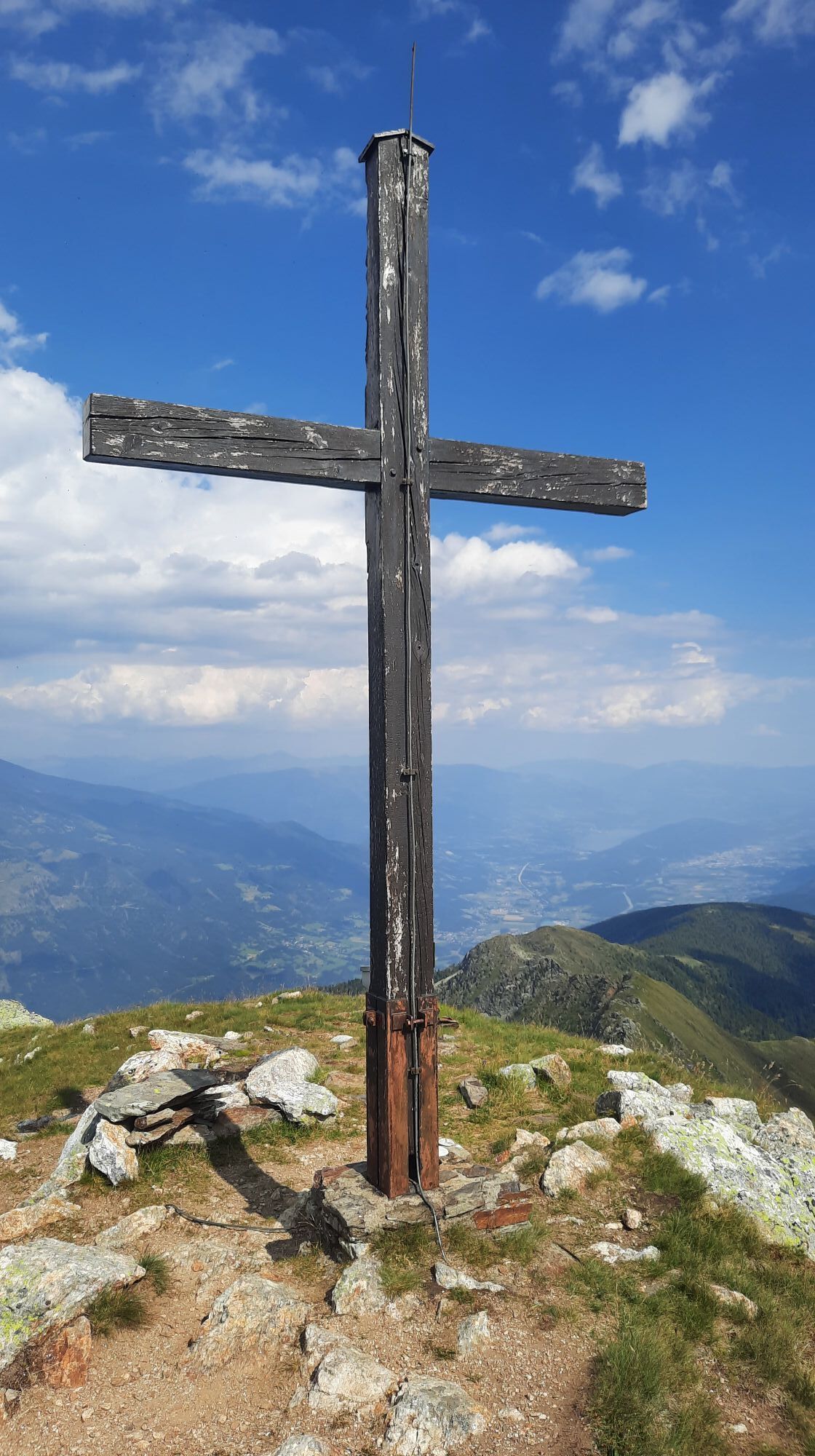
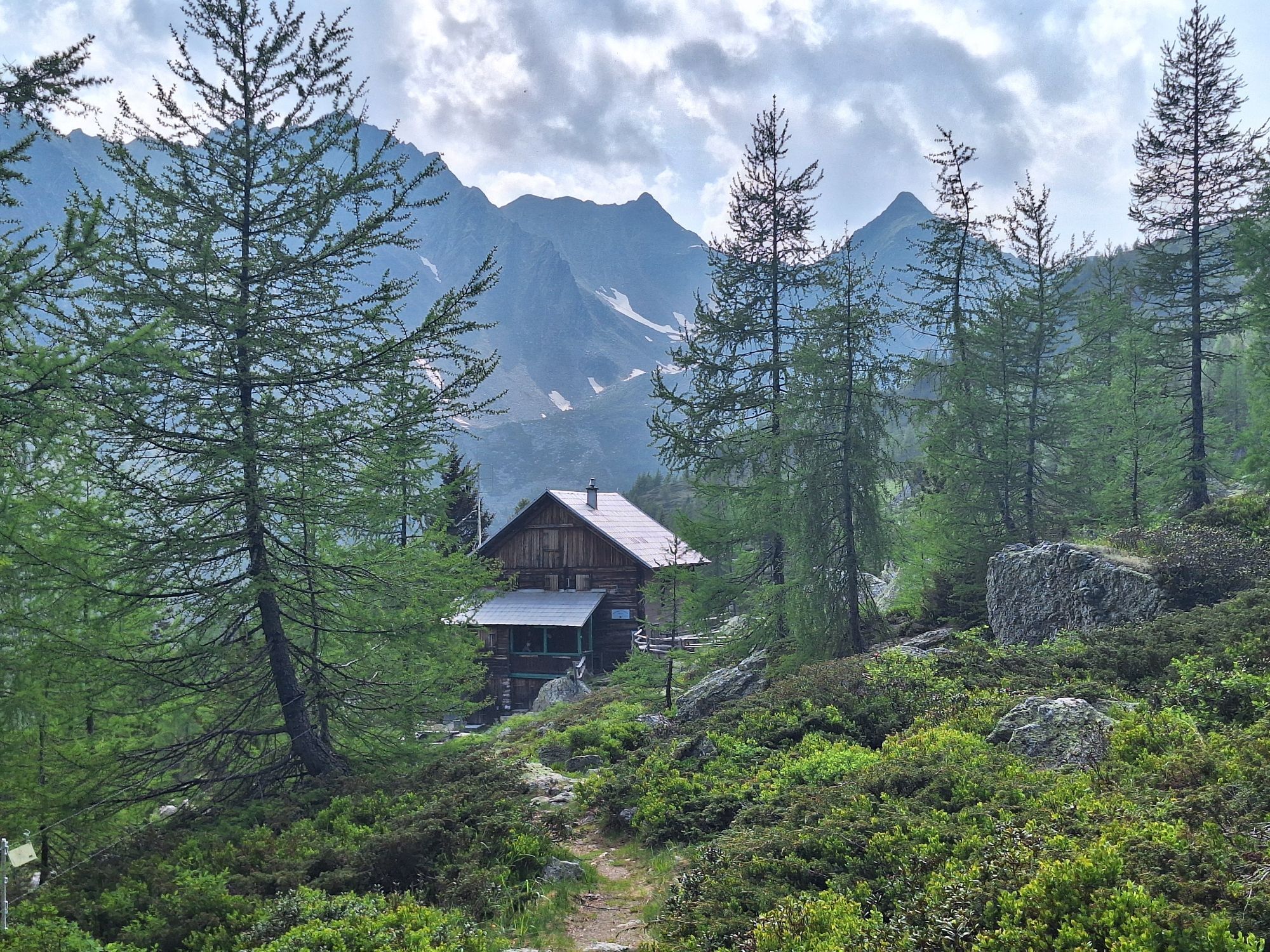
Ascent with the Kreuzeck panoramic cable car. From the mountain station, the hike leads from the Mernikalm to the Mühldorfer Alm. The path becomes steeper leading to the Salzkofel hut and our destination, the Salzkofel. The wonderful panorama rewards one for the demanding ascent.
Special feature: 1st stage of the Kreuzeck high route
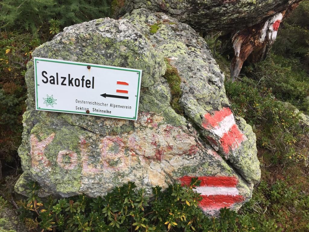
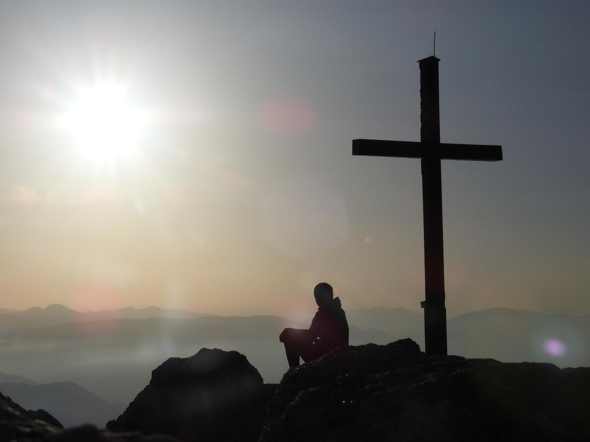
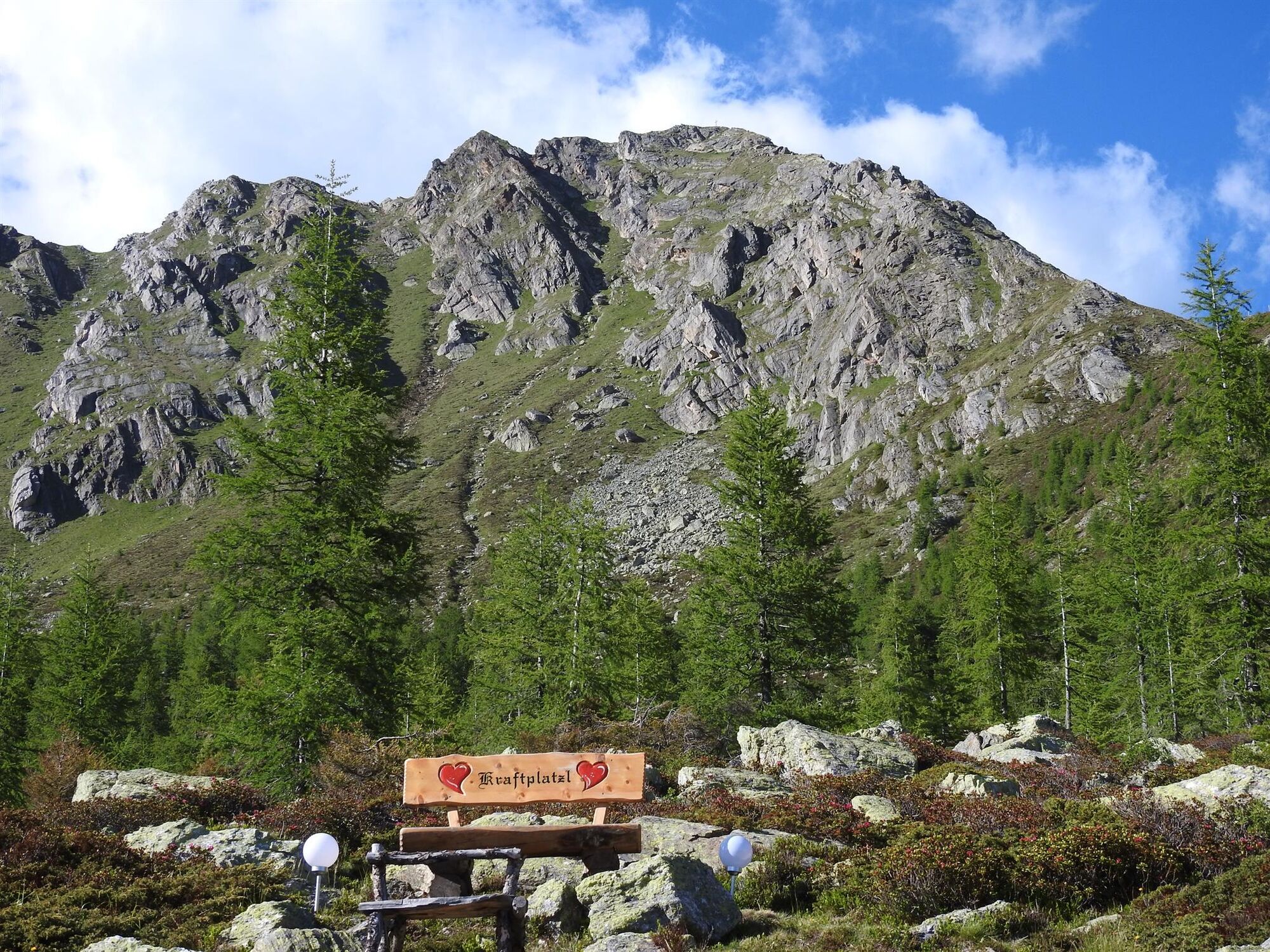
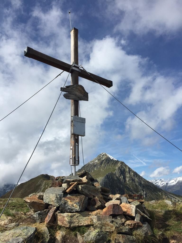
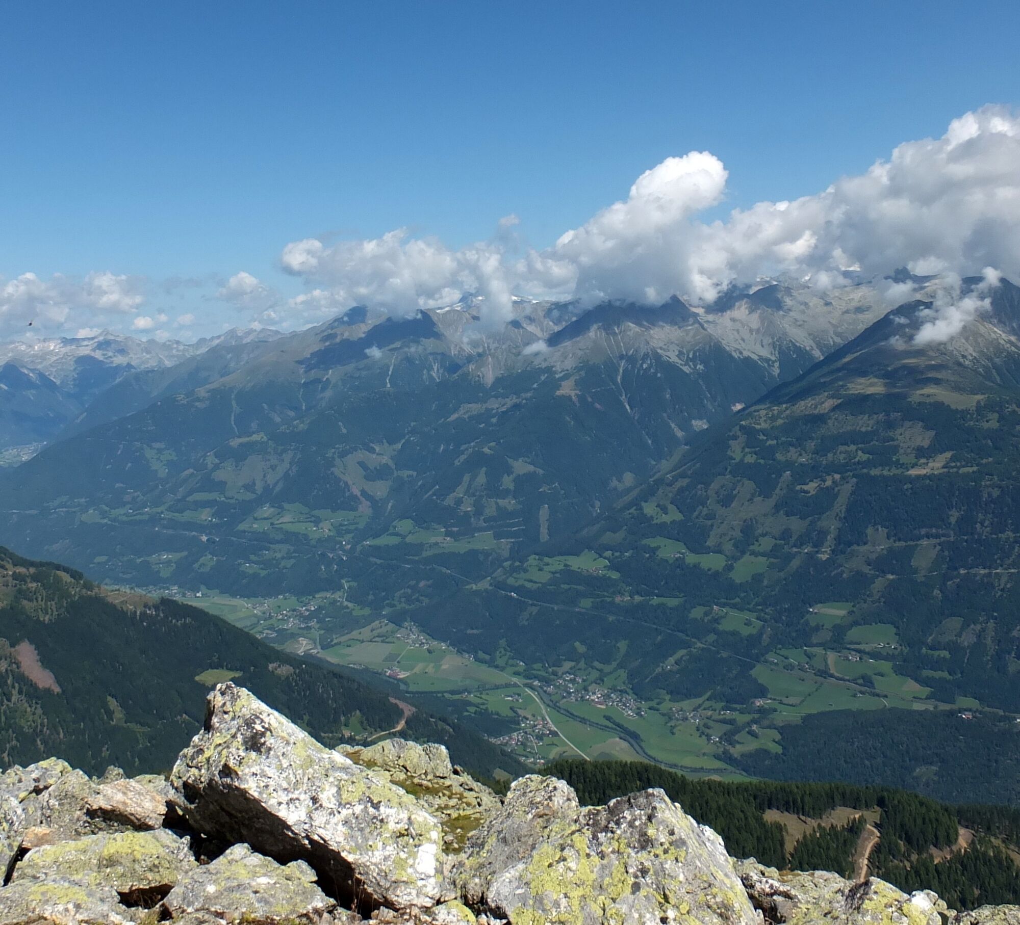
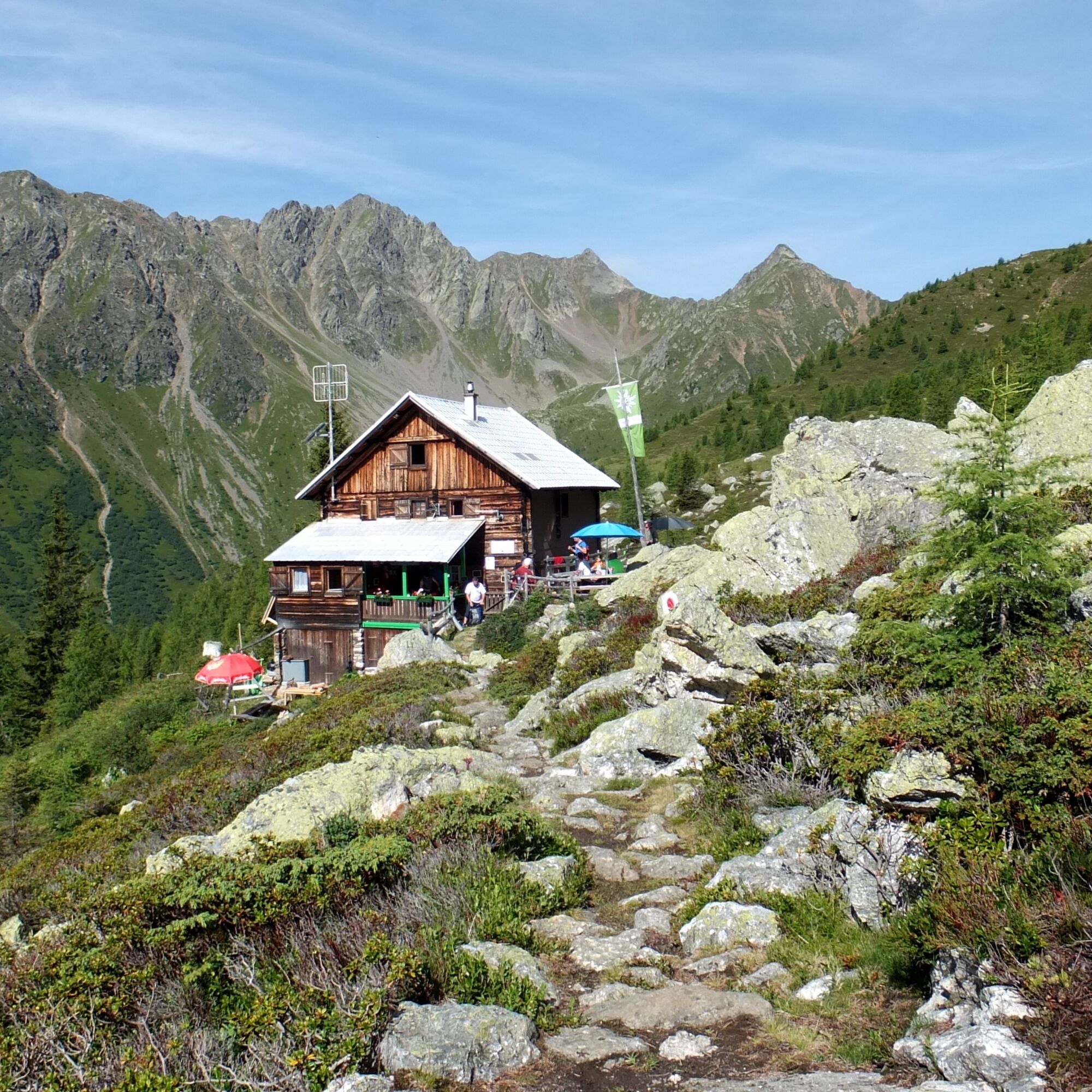

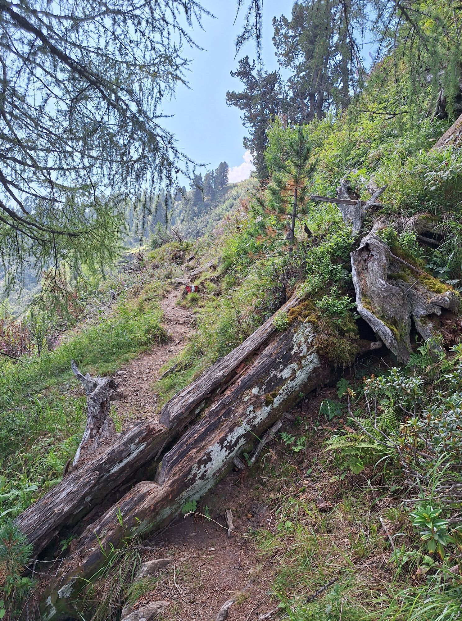
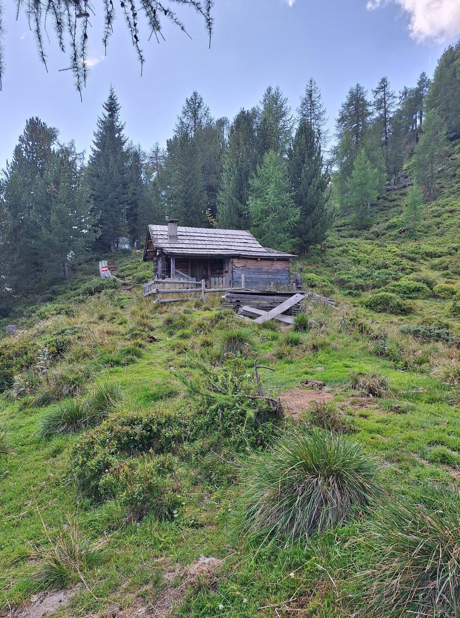
You should take the first ascent with the Kreuzeck panoramic cable car if you want to do this route in one day. Path no. 342 leads us from the mountain station to the Mernikalm and from there further to the Mühldorfer Alm. Becoming steeper, the trail leads up to the tree line where it merges before the Mösern huts. The path now crosses the steep slope up to the second saddle of Roßeben and runs almost horizontally through stony slopes to the Salzkofel hut, which we reach after about three hours. The ascent to the Salzkofel is very steep and requires another hour until we bypass the summit rocks in a large left arc below. Without any particular difficulties, we now follow the trail and reach the summit. The wonderful panorama makes us forget the efforts of the ascent.
Descent as ascent.
Ano
Ano
Fitness and surefootedness required. Climbing Salzkofel requires a head for heights but is not too difficult.
On the B 106 either from Spittal an der Drau or from Mallnitz to the village of Kolbnitz and follow the signs to the Kreuzeck cable car there.
Overnight stay and refreshment at the Salzkofel hut, Tel.+43 6769 214 655.


Oblíbené prohlídky v okolí
-
4.5
Groppenstein Gorge Obervellach
středníTuristika 2.99 km -
5.0
Bergfried Hütte, Stoder 2433, Gmeineck 2592
heavyTuristika 8.23 km -
5.0
Bella Vista auf Hohe Leier
středníVia ferrata 15.6 km -
4.8
Drau Cycle Path R1
světloJízda na kole 75.9 km -
4.8
Weiße Wand - Alm hinterm Brunn
Mountainbike 22.1 km -
4.1
Barbarossa Gorge near Mühldorf/Mölltal
světloTuristika 2.74 km -
4.0
Raggaschlucht
středníTuristika 3.44 km -
4.4
WY_W2 hike to the Alm behind the Brunn
středníZimní turistika 3.04 km -
4.2
Emberger Alm - Hochtristen
středníTuristika 9.50 km -
4.3
The Glockner cycle route R8
středníJízda na kole 123.5 km
Pěší turistika a stopování


Nenechte si ujít nabídky a inspiraci pro vaši příští dovolenou
Vaše e-mailová adresa byl přidán do poštovního seznamu.





