






Bad St. Leonhard: L3 hike Feistritzgraben
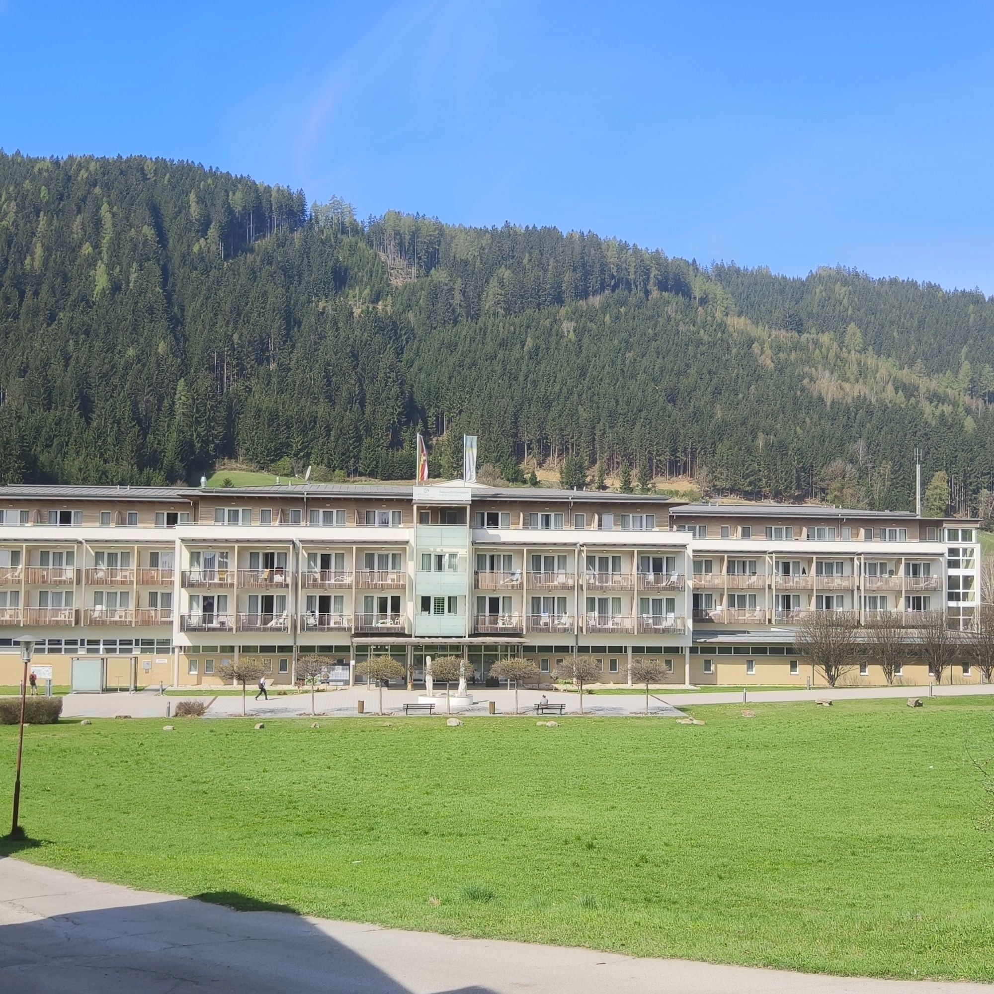
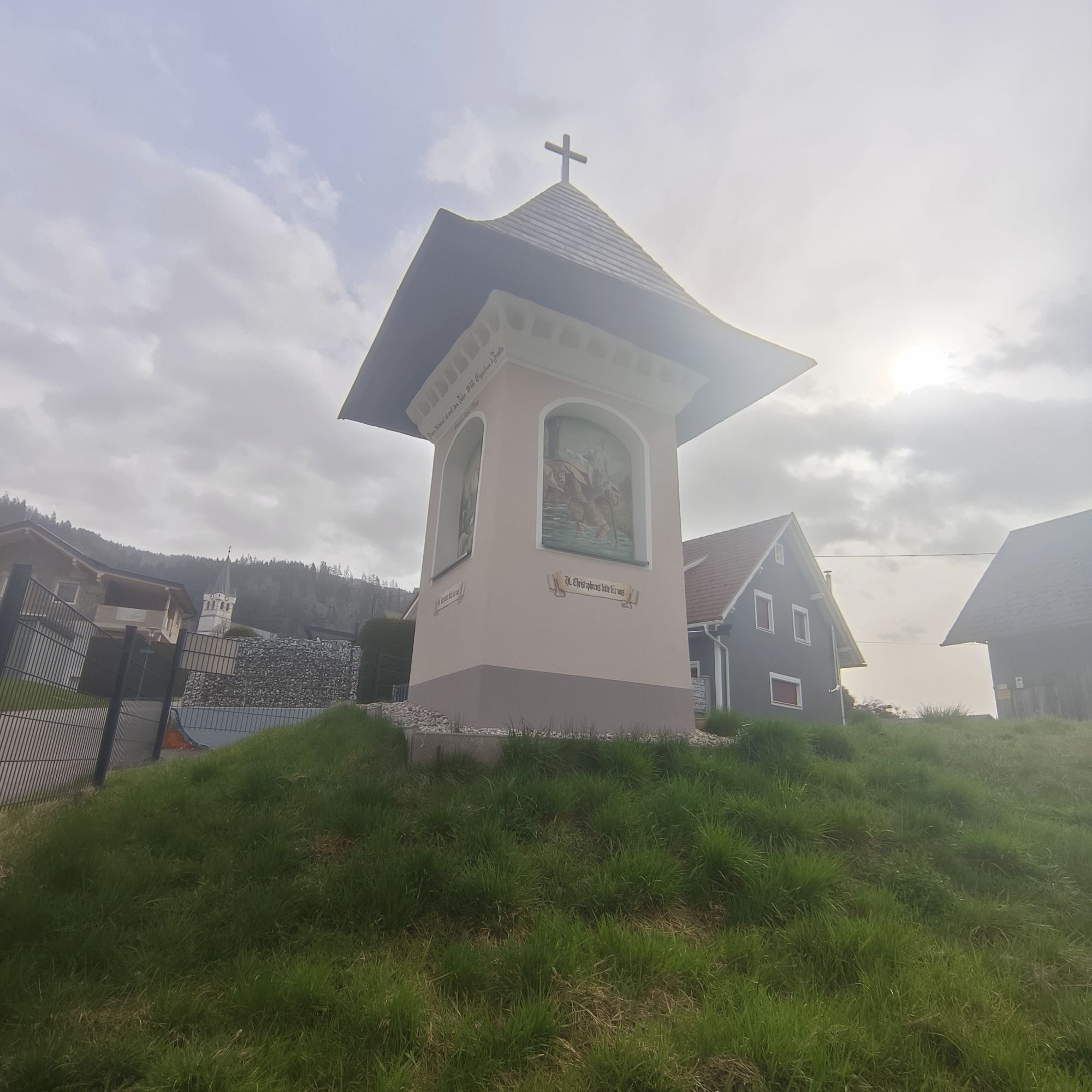
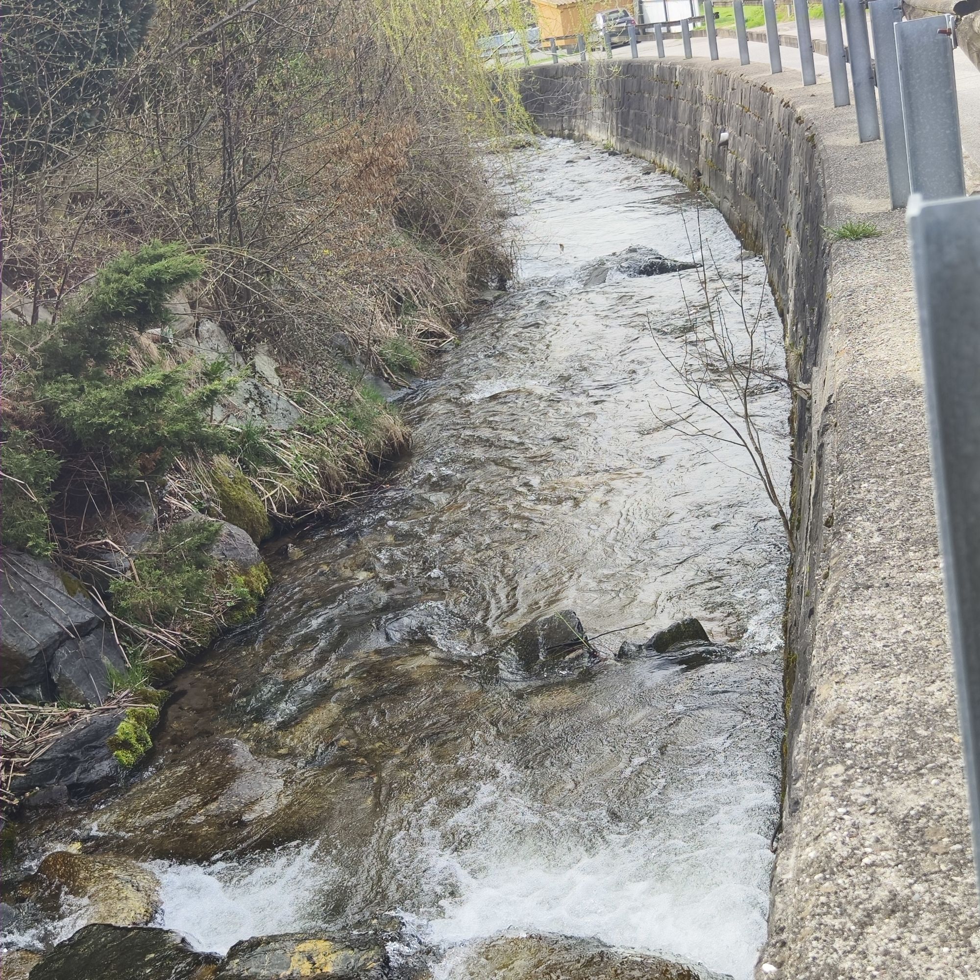
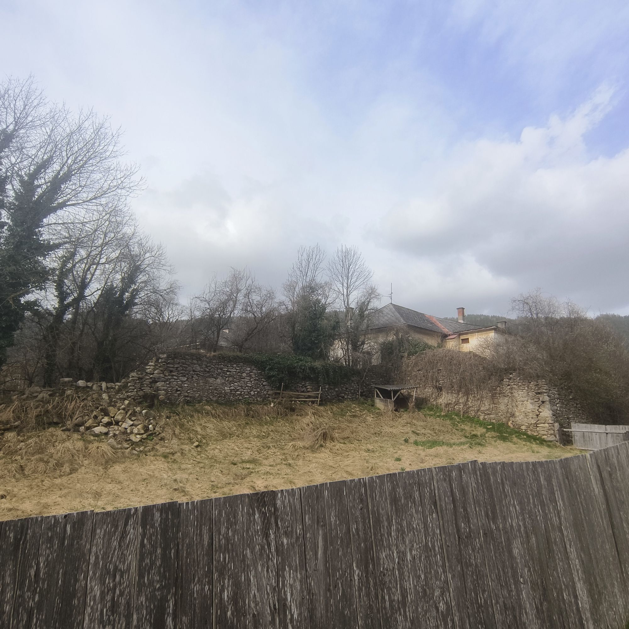
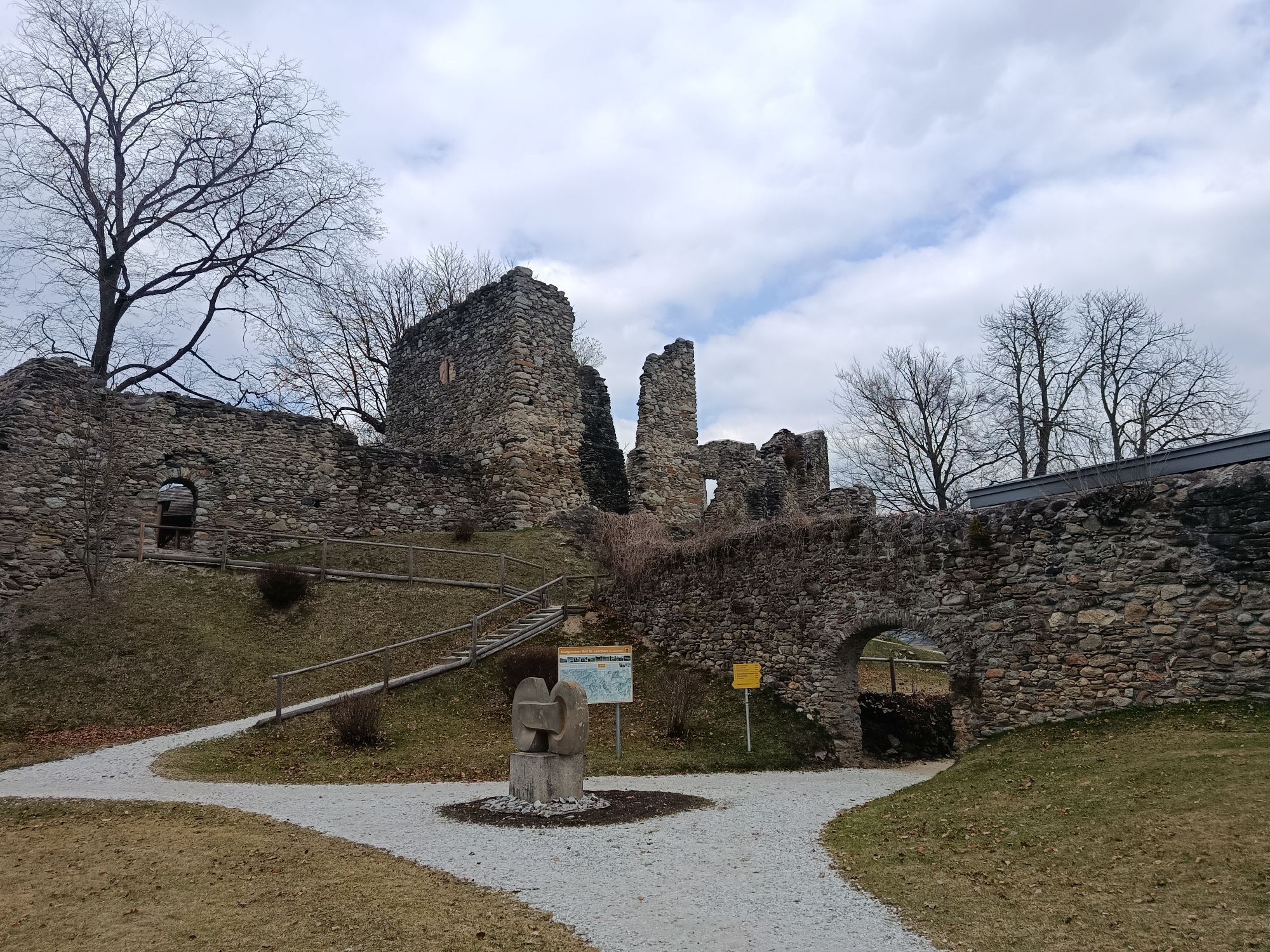
The hike leads from Schlossberg downhill to the main square. Turn left here into Höllgasse. Continue via Bäckerweg, past the kindergarten, toward Feistritzgraben. From now on the hike always follows along...
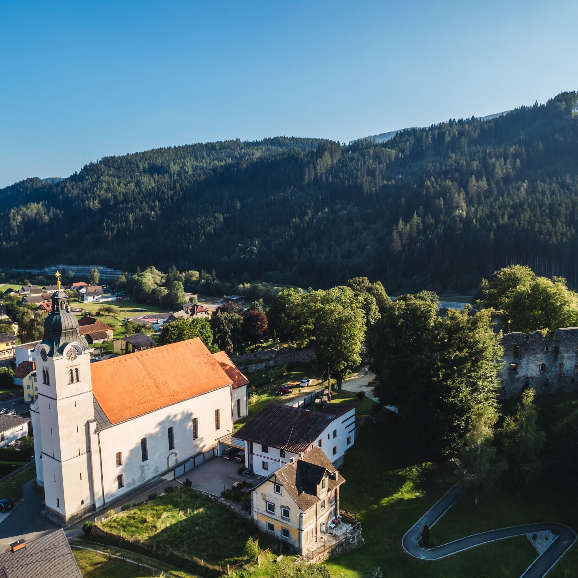
The hike leads from Schlossberg downhill to the main square. Turn left here into Höllgasse. Continue via Bäckerweg, past the kindergarten, toward Feistritzgraben. From now on the hike always follows along the Feistritzbach, past the "Karrer Säge", to the former guesthouse Weizmühle (2.6 km - approx. 45 minutes). From here back again to Karrer Säge. Turn left and follow the signpost hiking trail Feistritzgraben to the farmstead vlg. Karrer (approx. 1 km). For the short ascent you will be rewarded with a magnificent view over Bad St. Leonhard. Before the farmstead vlg. Karrer turn right onto a meadow path and follow the signpost "Hiking trail Feistritzgraben" to the Leonardi church. From here continue downhill to the main road or the hiking and bike path. Turn right and follow it to the starting point of your hike.

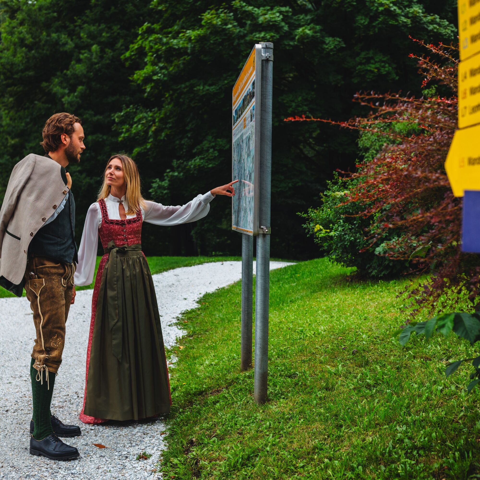
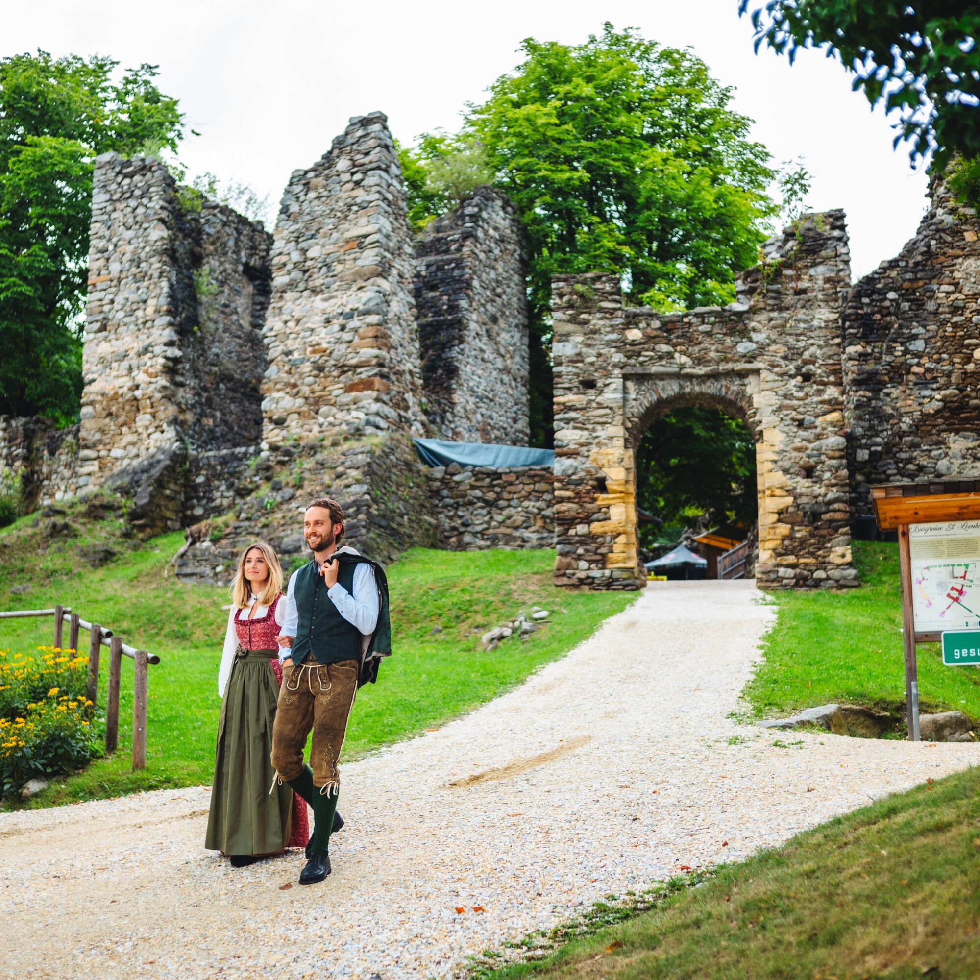
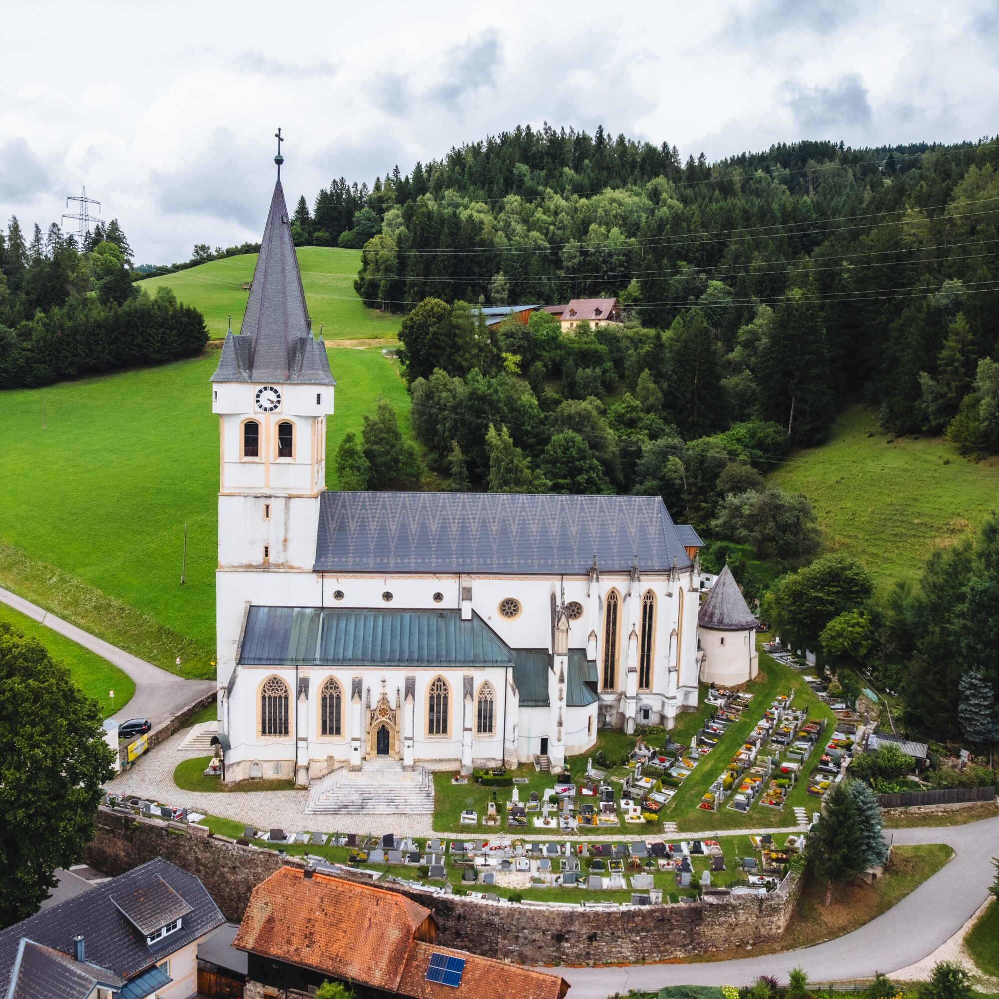

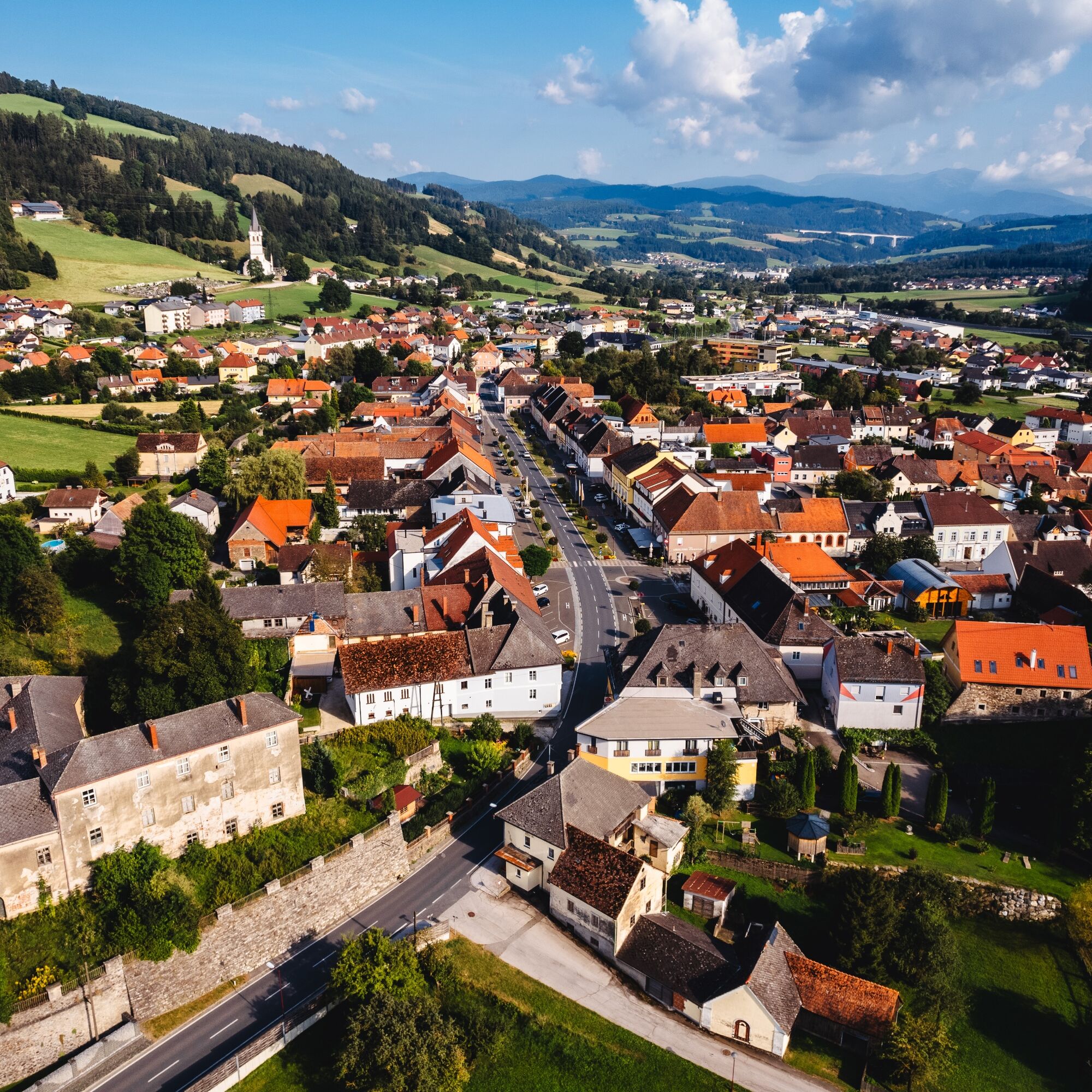
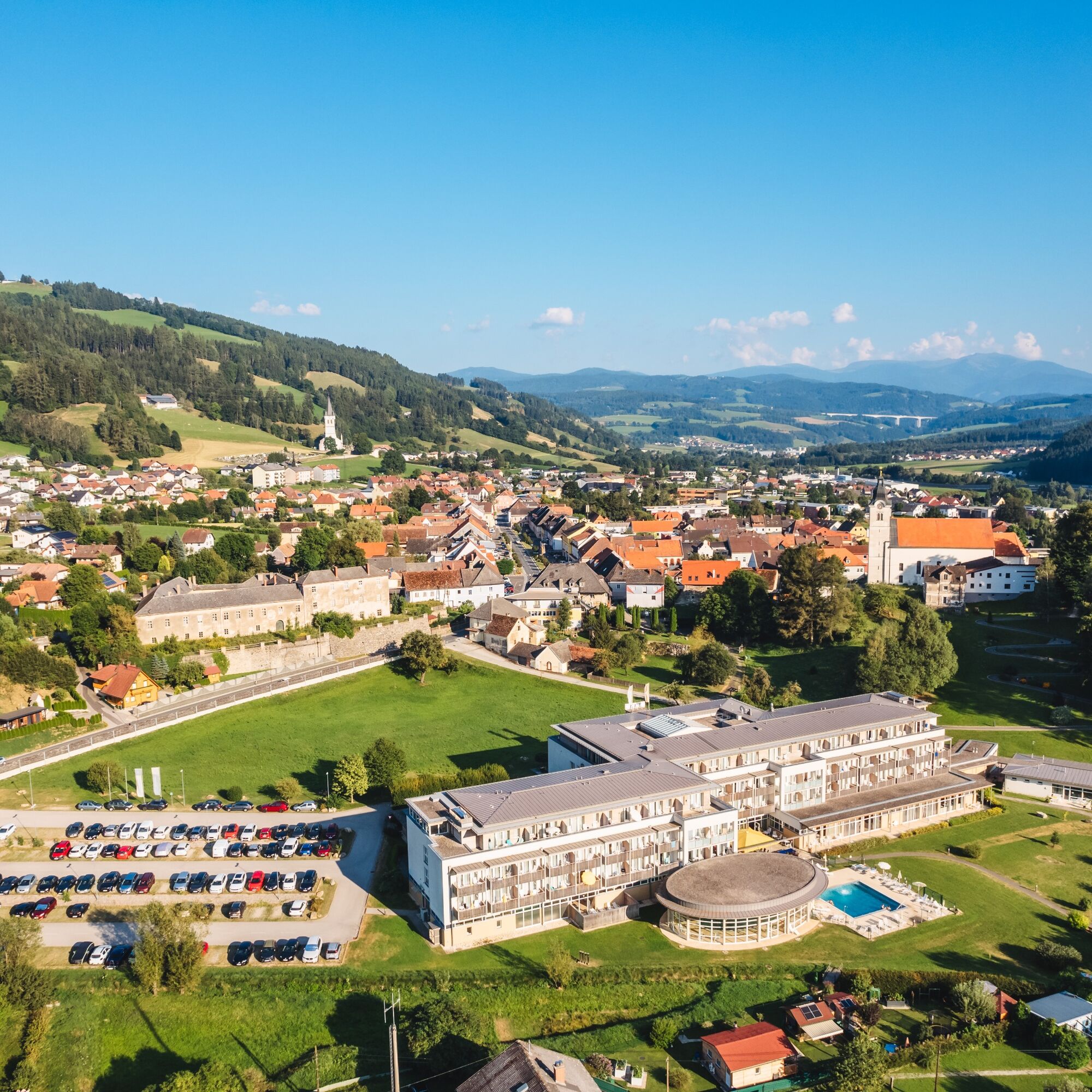

Schlossberg - Kindergarten - Feistritzgraben - Karrer Säge - former guesthouse Weizmühle - Karrer Säge - vlg. Karrer - Leonardi church - bike and footpath toward Bad St. Leonhard Schlossberg
Ano
Ano
For this route, good footwear and a small backpack with the essentials are sufficient.
Safe Hiking
10 recommendations from the Alpine Club
As a natural sport, mountain hiking offers great opportunities for health, community, and experience. The following recommendations from alpine clubs serve to make hikes as safe and enjoyable as possible.
1. Healthy into the mountains
Mountain hiking is endurance sport. The positive stress stimuli for heart and circulation require health and a realistic self-assessment. Avoid time pressure and choose the pace so that no one in the group runs out of breath.
2. Careful planning
Hiking maps, guide literature, internet and experts inform about length, altitude difference, difficulty and current conditions. Always adapt routes to the group!
Pay special attention to the weather forecast, as rain, wind, and cold increase the risk of accidents.
3. Complete equipment
Adapt your equipment to your undertaking and pay attention to low backpack weight. Rain, cold and sun protection always belong in the backpack, as well as a first aid kit and mobile phone (European emergency number 112). Maps or GPS support orientation.
4. Appropriate footwear
Good hiking shoes protect and relieve the foot and improve surefootedness! When choosing, pay attention to perfect fit, non-slip tread sole, waterproofing and low weight.
5. Surefootedness is key
Falls as a result of slipping or tripping are the most common cause of accidents! Note that too high a pace or fatigue strongly impair your surefootedness and concentration. Beware of rockfall: Careful walking avoids triggering stones.
6. Stay on marked paths
In pathless terrain, the risk of losing orientation, falling, and rockfall increases. Avoid shortcuts and return to the last known point if you have strayed from the path. Often underestimated and very dangerous: steep old snowfields!
7. Regular breaks
Timely rest serves recovery, enjoyment of the landscape, and sociability. Eating and drinking are necessary to maintain performance and concentration. Isotonic drinks are ideal thirst quenchers. Muesli bars, dried fruit, and biscuits satisfy hunger on the way.
8. Responsibility for children
Note that variety and playful discovery are the focus for children! In sections with risk of falling, one adult can only supervise one child. Very exposed routes requiring sustained concentration are not suitable for children.
9. Small groups
Small groups ensure flexibility and enable mutual assistance. Inform trusted persons about destination, route and return. Stay together as a group. Beware of lone hikers: even small incidents can lead to serious emergencies.
10. Respect for nature and environment
To protect mountain nature: do not leave any waste, avoid noise, stay on paths, do not disturb wild and grazing animals, leave plants untouched and respect protected areas. Use public transport or form carpools for arrival.
(Source: Austrian Alpine Club, 2014)
B78 bzw Autobahn A2, Ausfahrt Bad St. Leonhard
www.region-lavanttal.at/mobil
Do you know the six source trails in Bad St. Leonhard?
The springs and fountains of the Upper Lavanttal are well known far beyond the region. The Preblauer water, a celebrated sour water since the Middle Ages, is counted among the best drinking and healing waters in Europe.
Information at www.bad-st-leonhard-i-lav.at

 Získejte přehled
Vždy živě na místě s více než 9 500 webkamerami. bergfex Jako uživatel Pro si nyní můžete zobrazit odpovídající webové kamery pro mnoho prohlídek v aplikaci prohlídky z. Můžete si tak přímo prohlédnout aktuální podmínky.
Získejte přehled
Vždy živě na místě s více než 9 500 webkamerami. bergfex Jako uživatel Pro si nyní můžete zobrazit odpovídající webové kamery pro mnoho prohlídek v aplikaci prohlídky z. Můžete si tak přímo prohlédnout aktuální podmínky.


Oblíbené prohlídky v okolí
-
4.5
Klippitztörl - Geierkogel loop trail no. G
středníTuristika 6.79 km -
4.7
Altes Almhaus -Rappoldkogel
středníTuristika 11.7 km -
4.7
Rappoldkogel vom Salzstieglhaus
středníTuristika 2.33 km -
4.5
Bad St. Leonhard: L5 hike Kliening - Sauerbrun
středníTuristika 9.49 km -
4.6
Salzstieglhaus - Speikkogel - Peterer Riegel
středníTuristika 11.2 km -
4.5
Vom Salzstiegl auf den Ameringkogel
středníTuristika 14.2 km -
4.3
5-Almhüttenwanderung
světloTuristika 14.3 km -
4.1
Vom Klippitztörl auf die Forstalm mit Geierkogel und Steinerner Hochzeit.
středníTuristika 10.5 km -
4.3
3-Almhüttenwanderung
světloTuristika 8.31 km -
3.8
Rappoldkogel-Runde vom Alten Almhaus
středníTuristika 12.1 km
Pěší turistika a stopování


Nenechte si ujít nabídky a inspiraci pro vaši příští dovolenou
Vaše e-mailová adresa byl přidán do poštovního seznamu.





