







WW_N2 Waisacher Alm
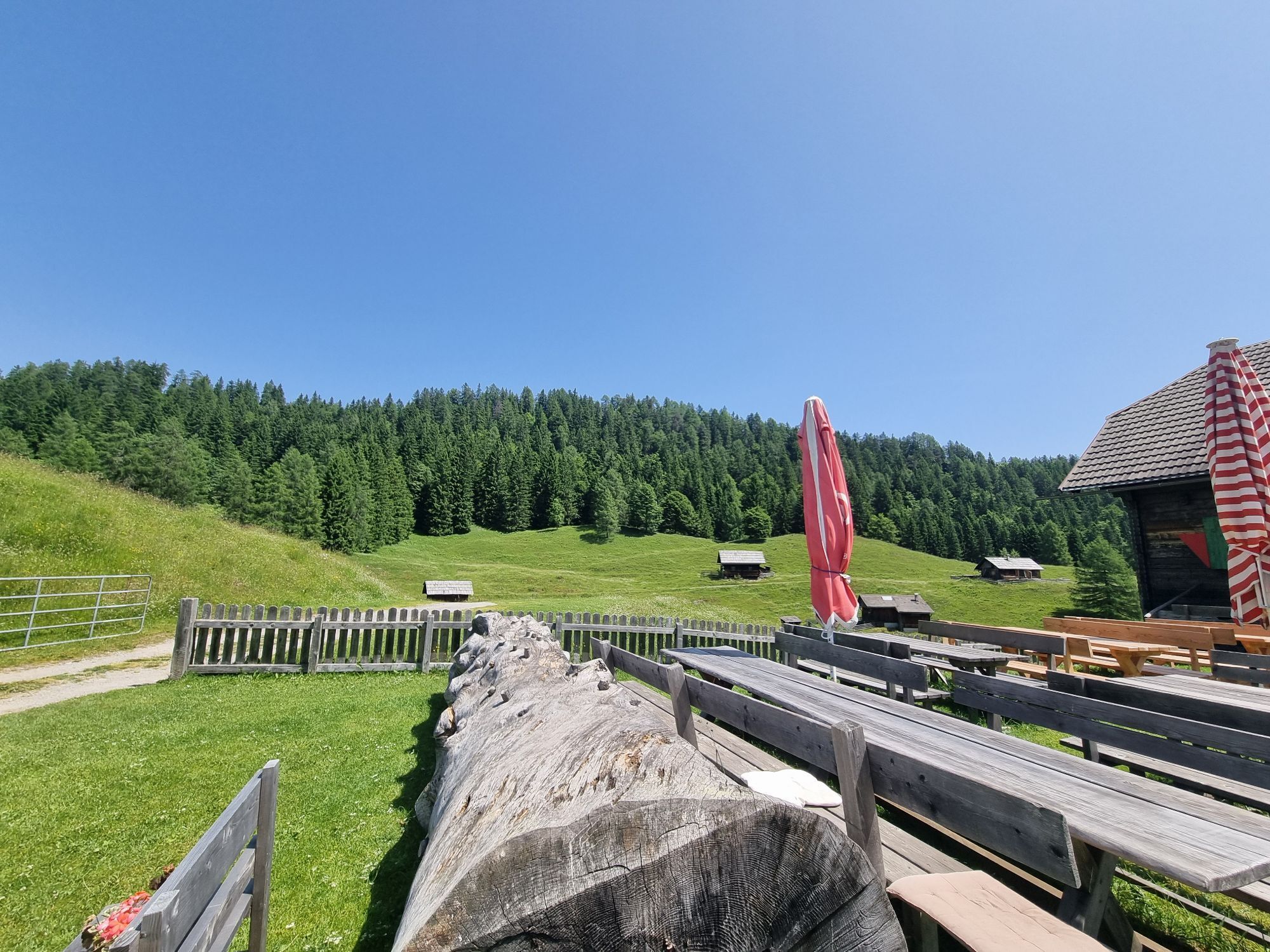
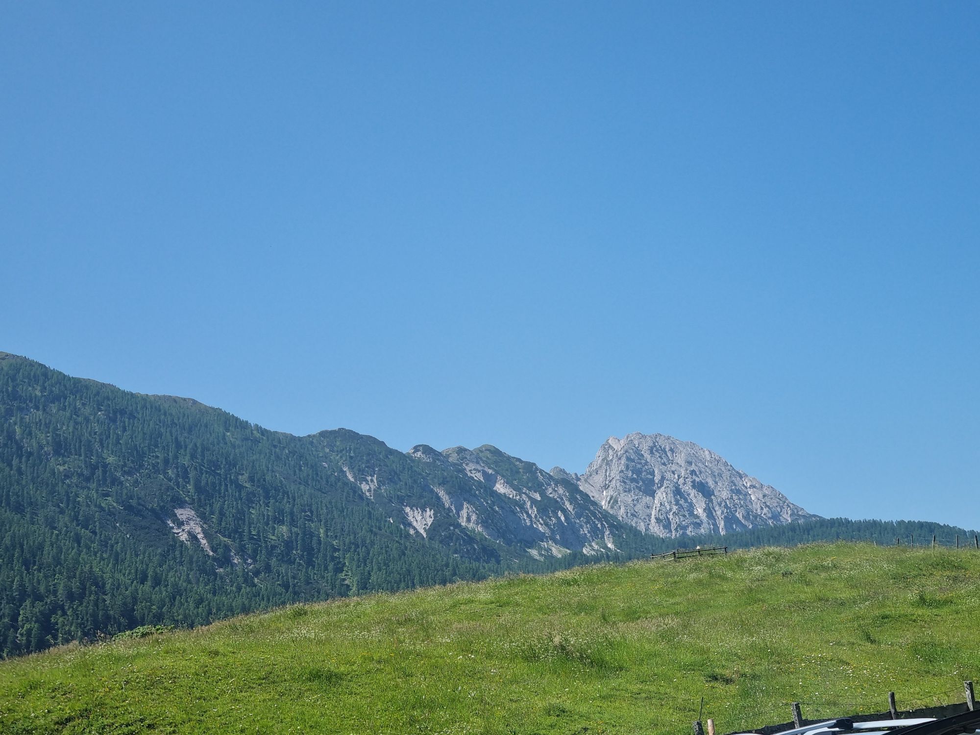
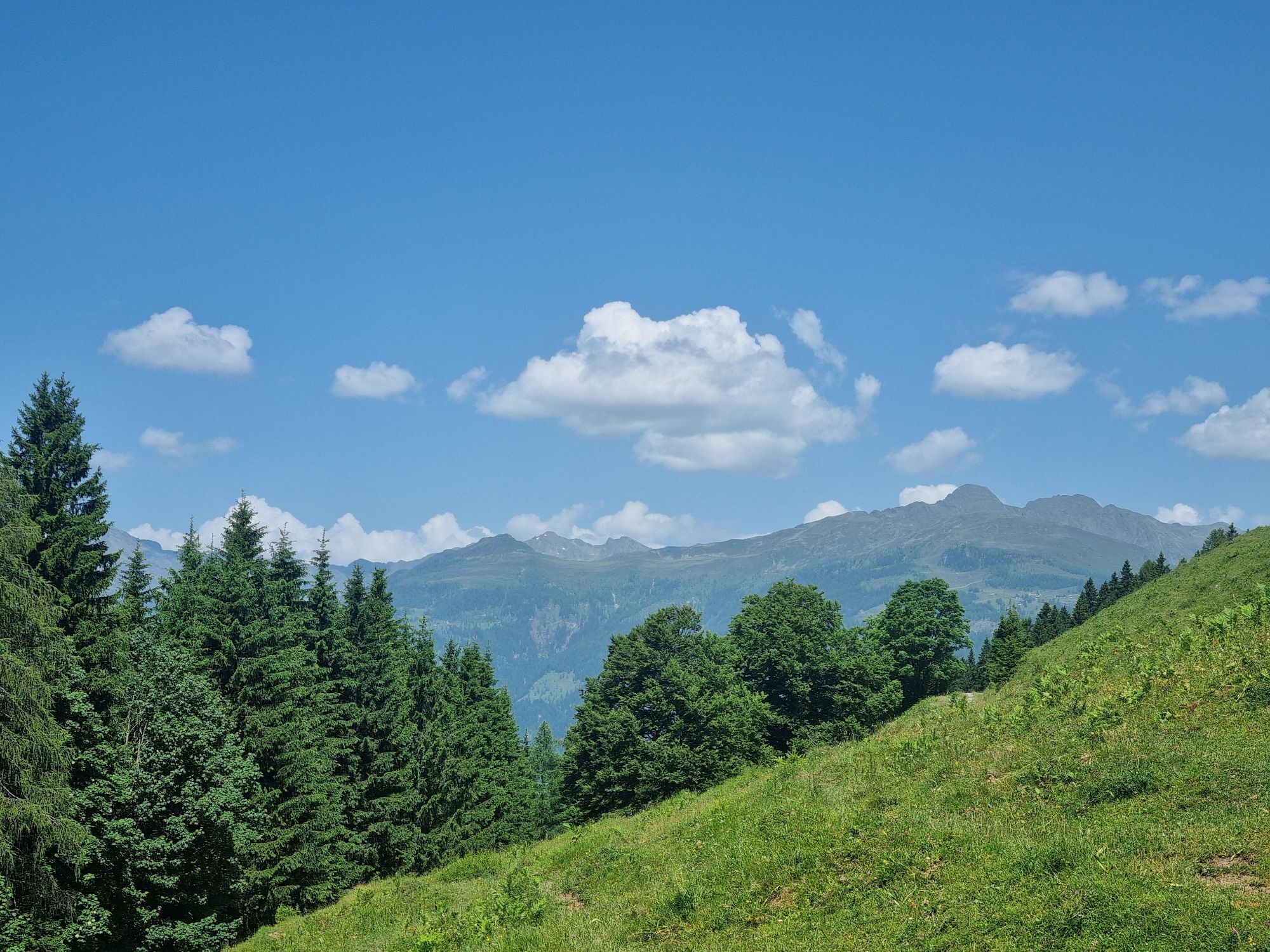
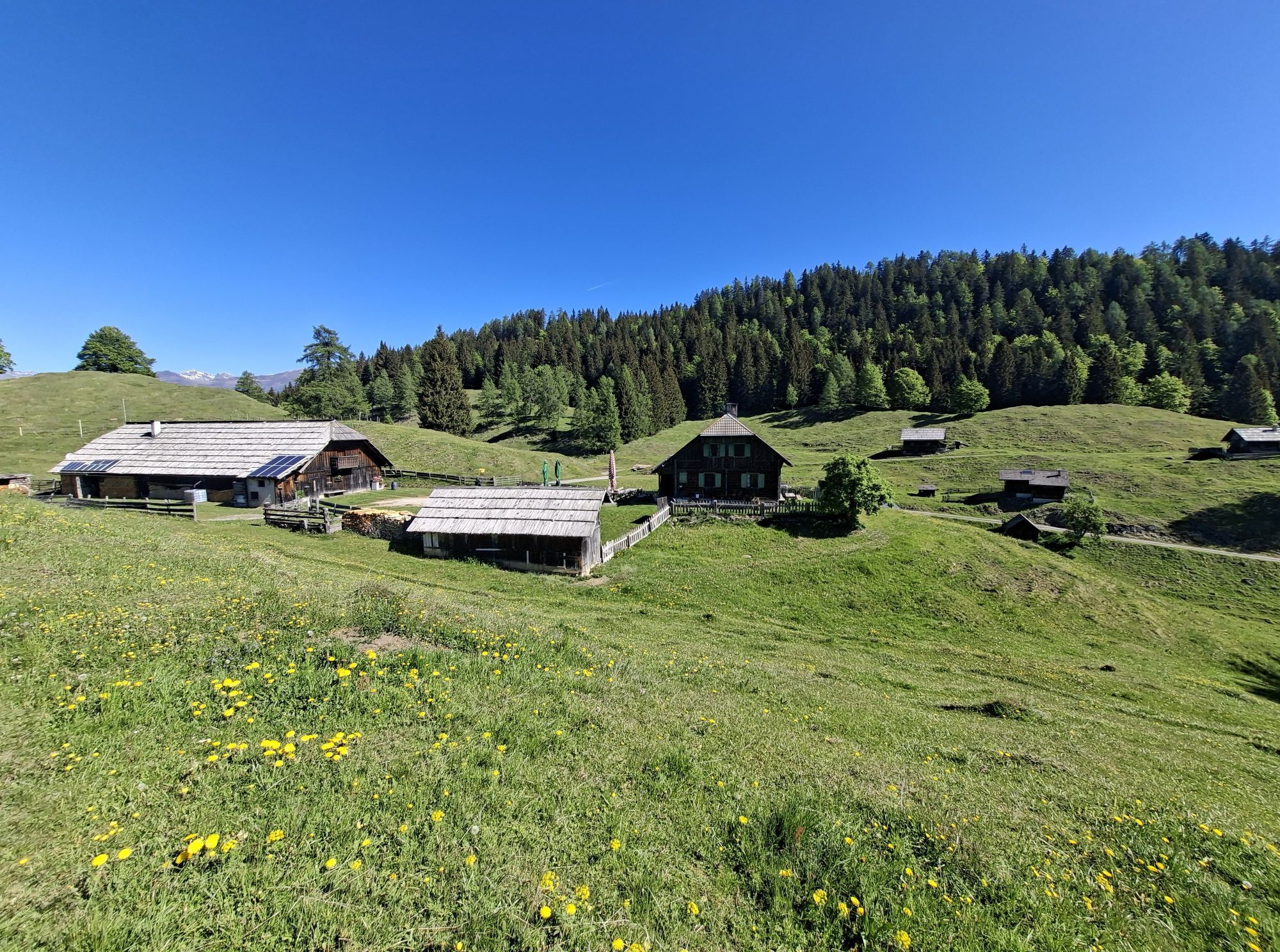
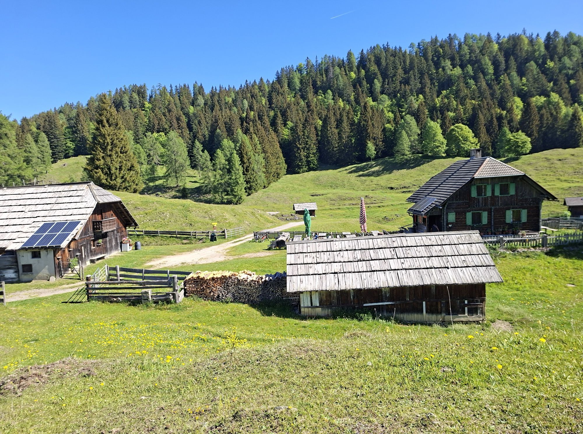
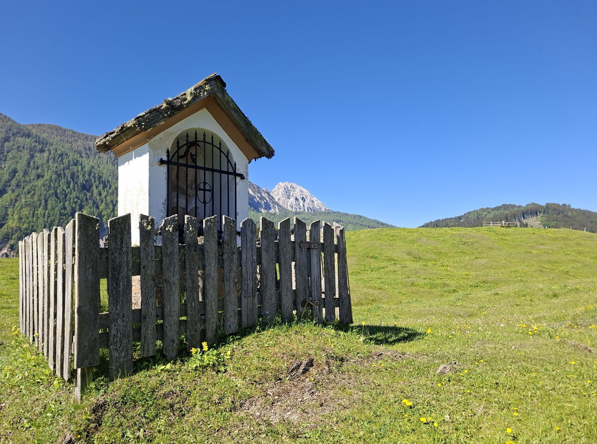
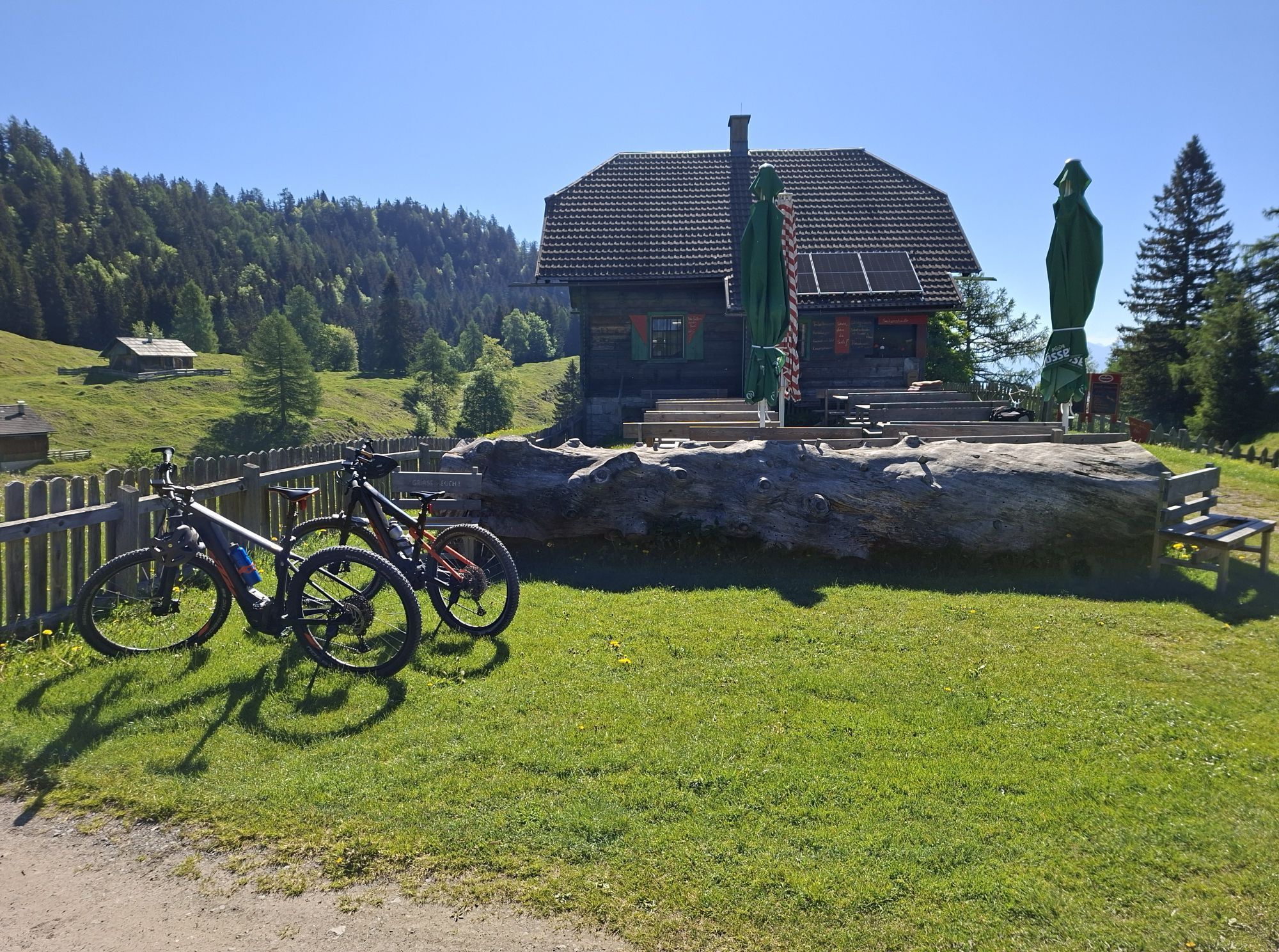
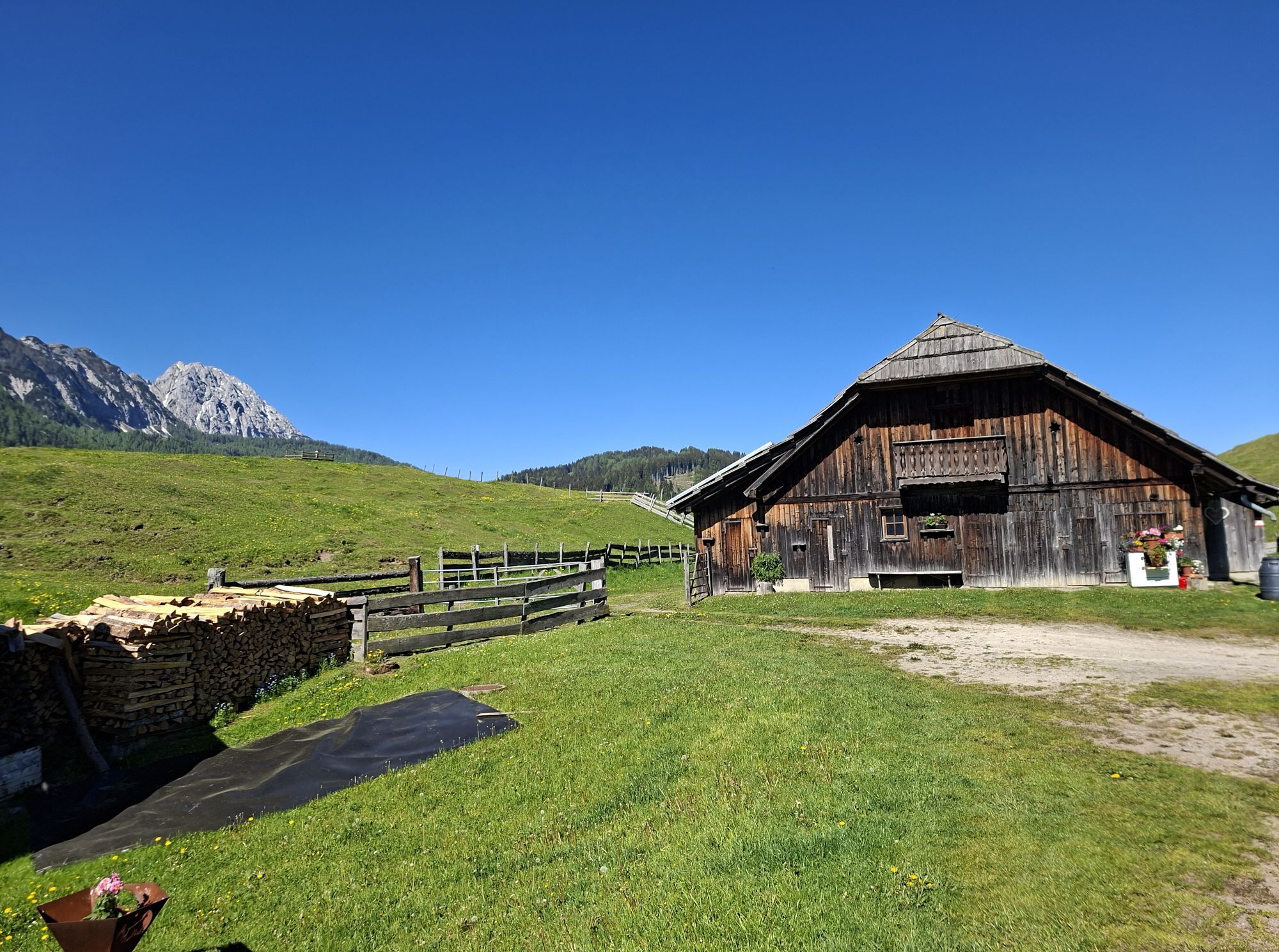
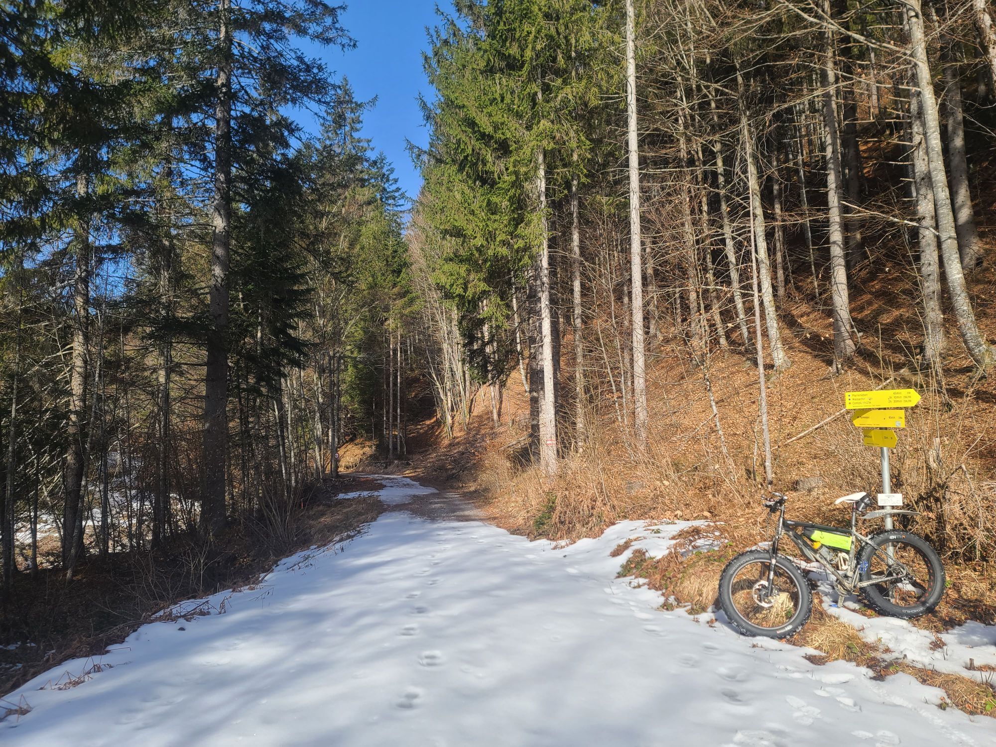
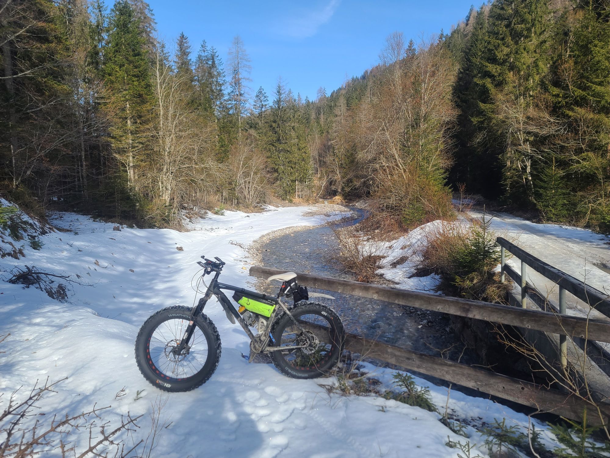
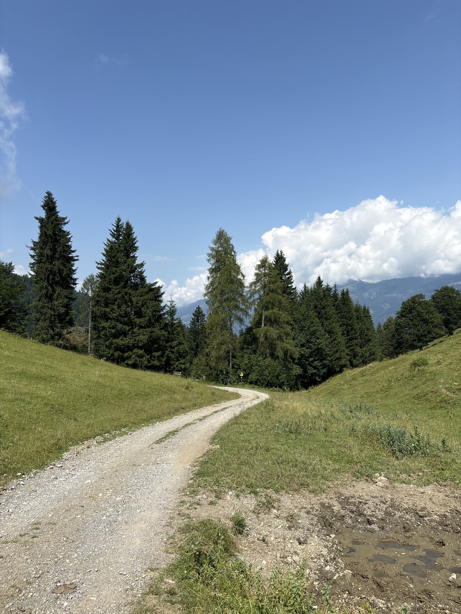
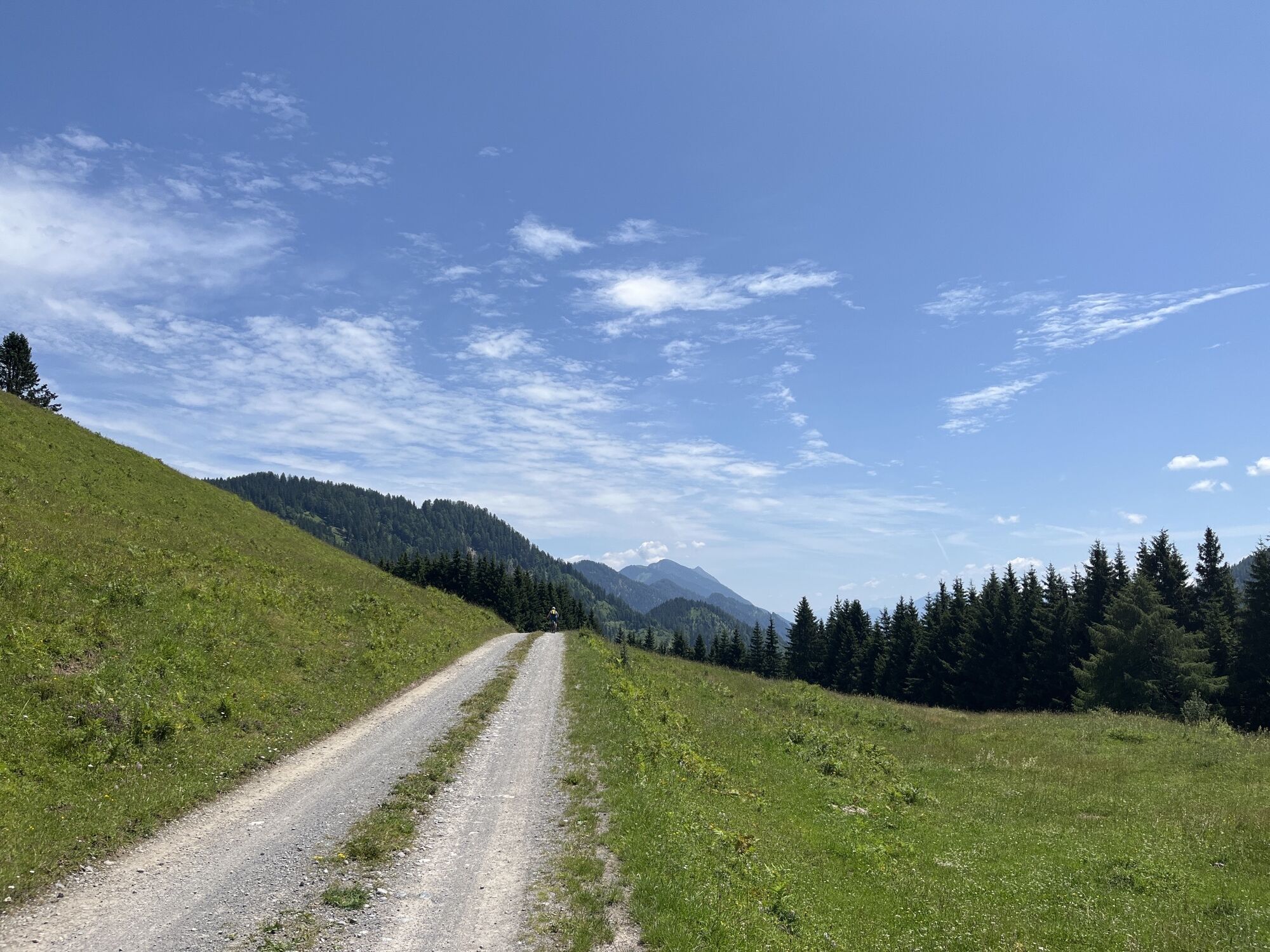

Die abwechslungsreiche Wanderung verläuft entlang idyllischer Plätze, überwiegend durch Waldabschnitte, und bietet auch an heißen Sommertagen eine sehr schöne Abwechslung.

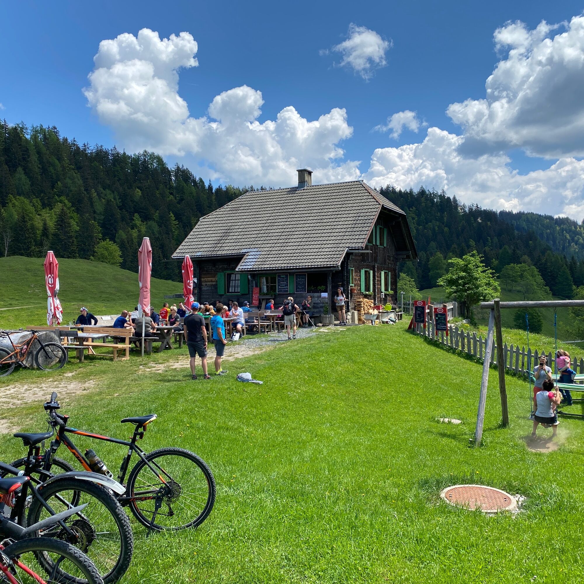
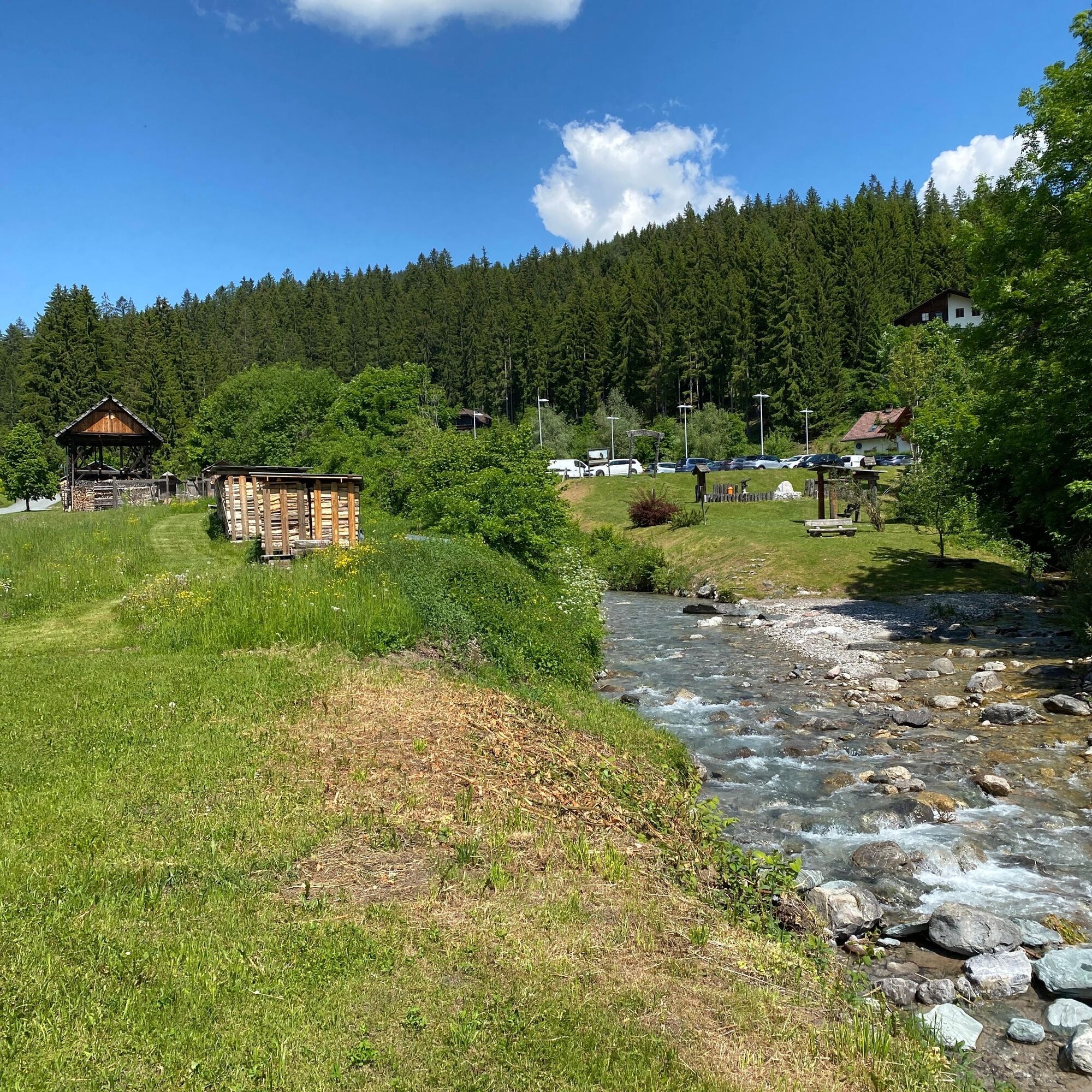
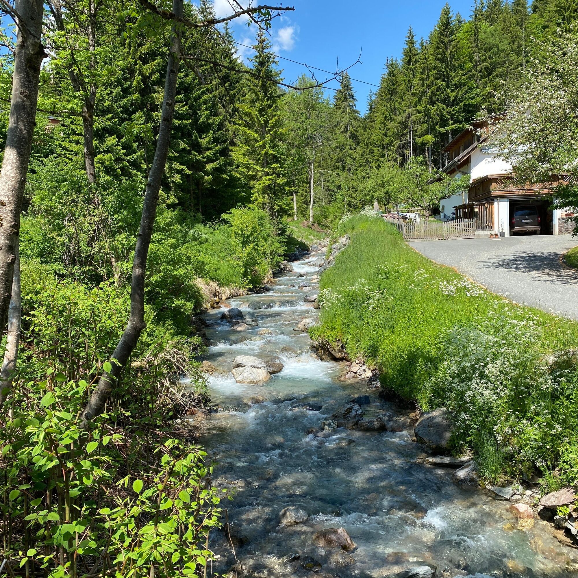
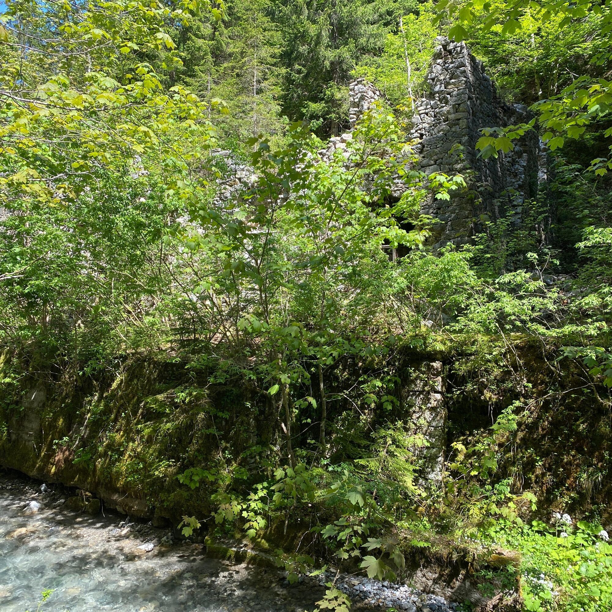
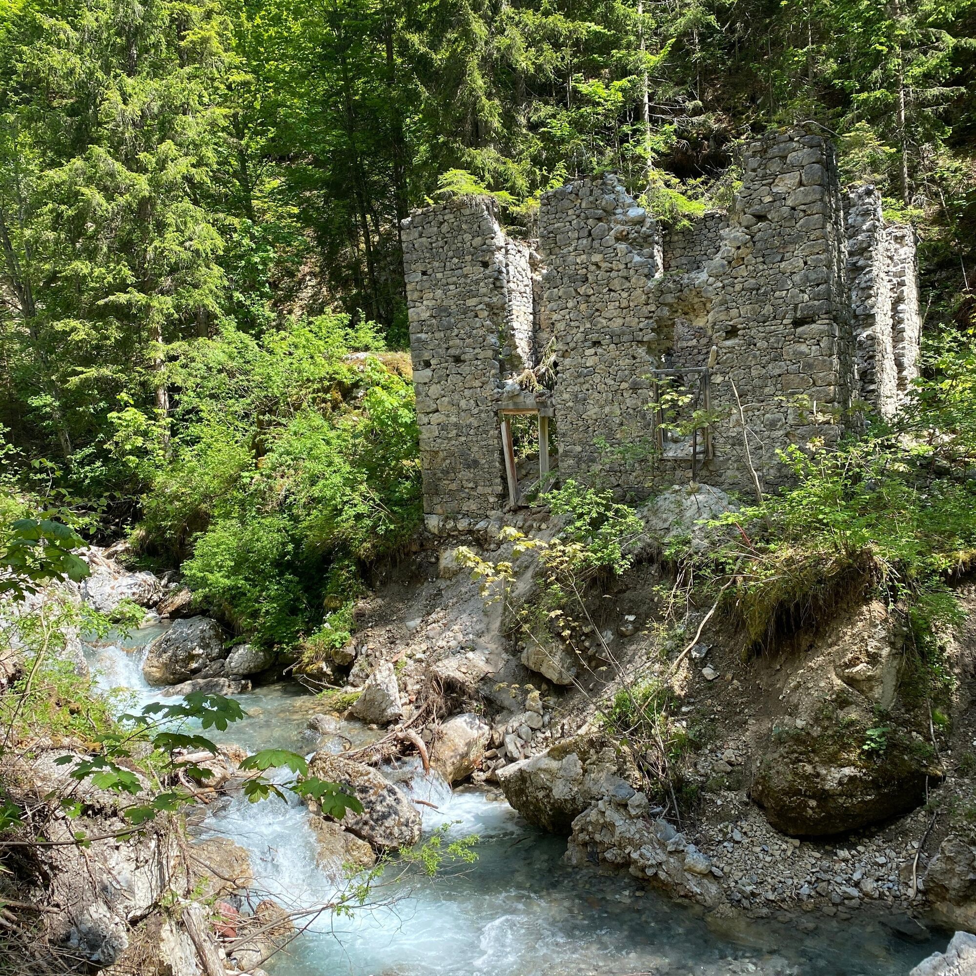
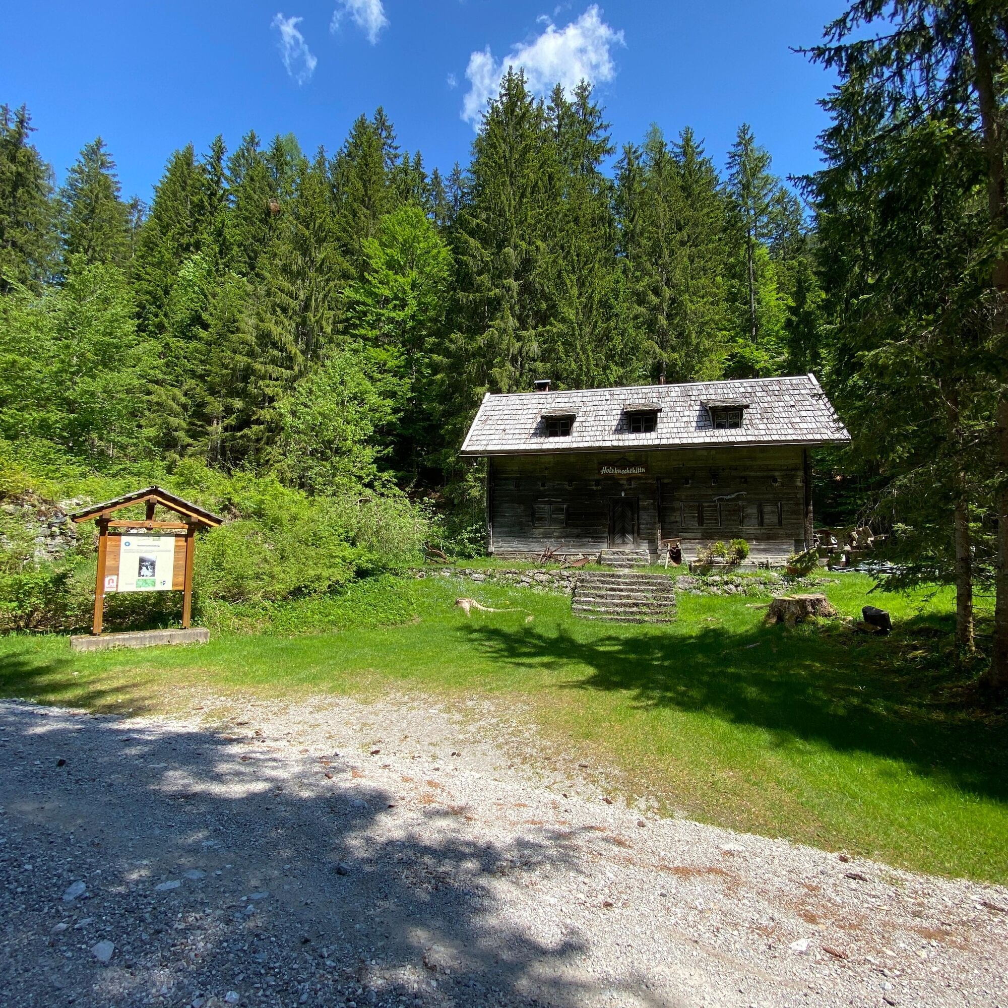
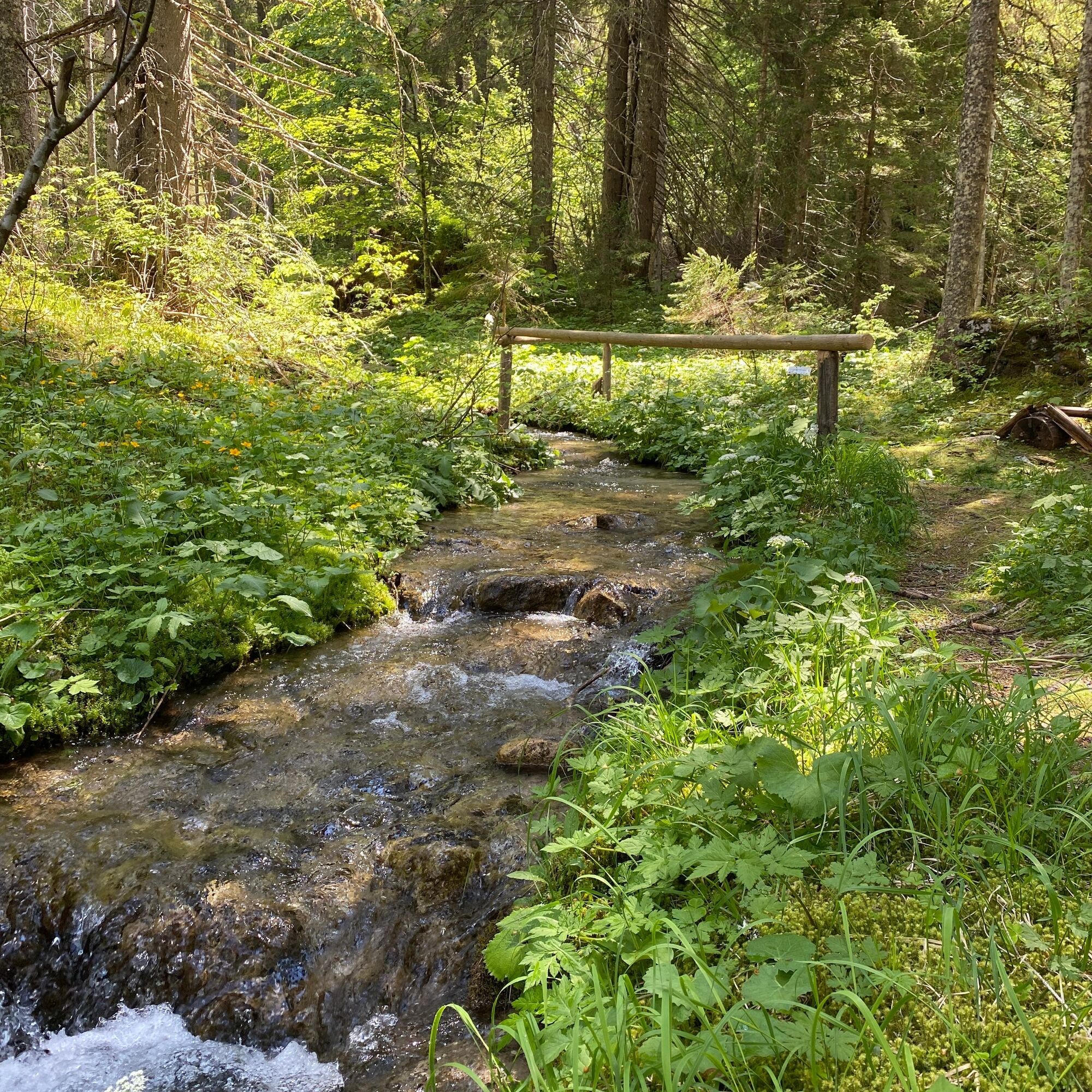
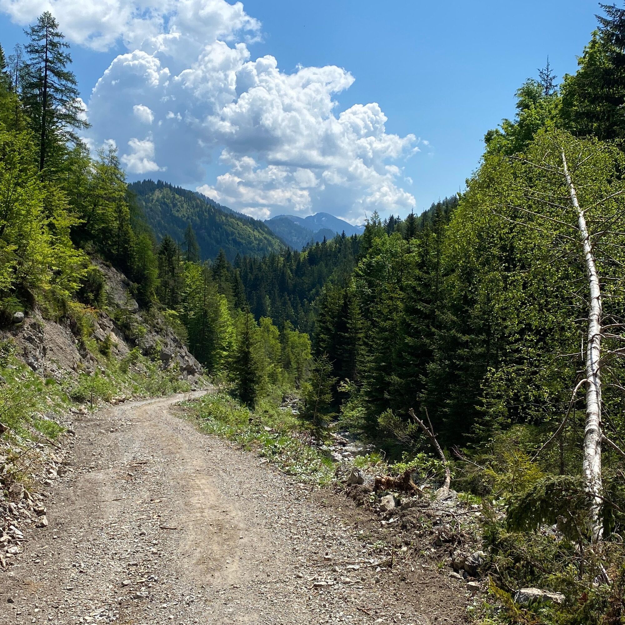
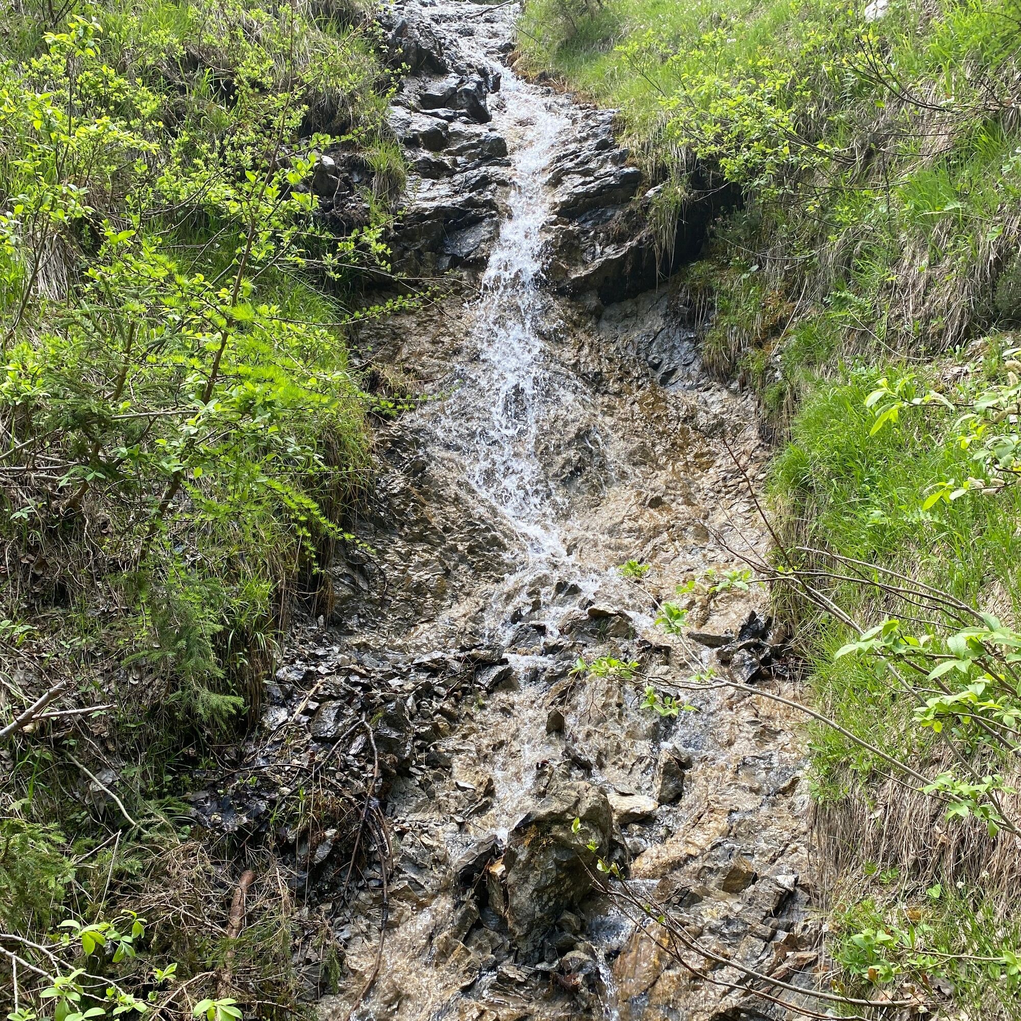
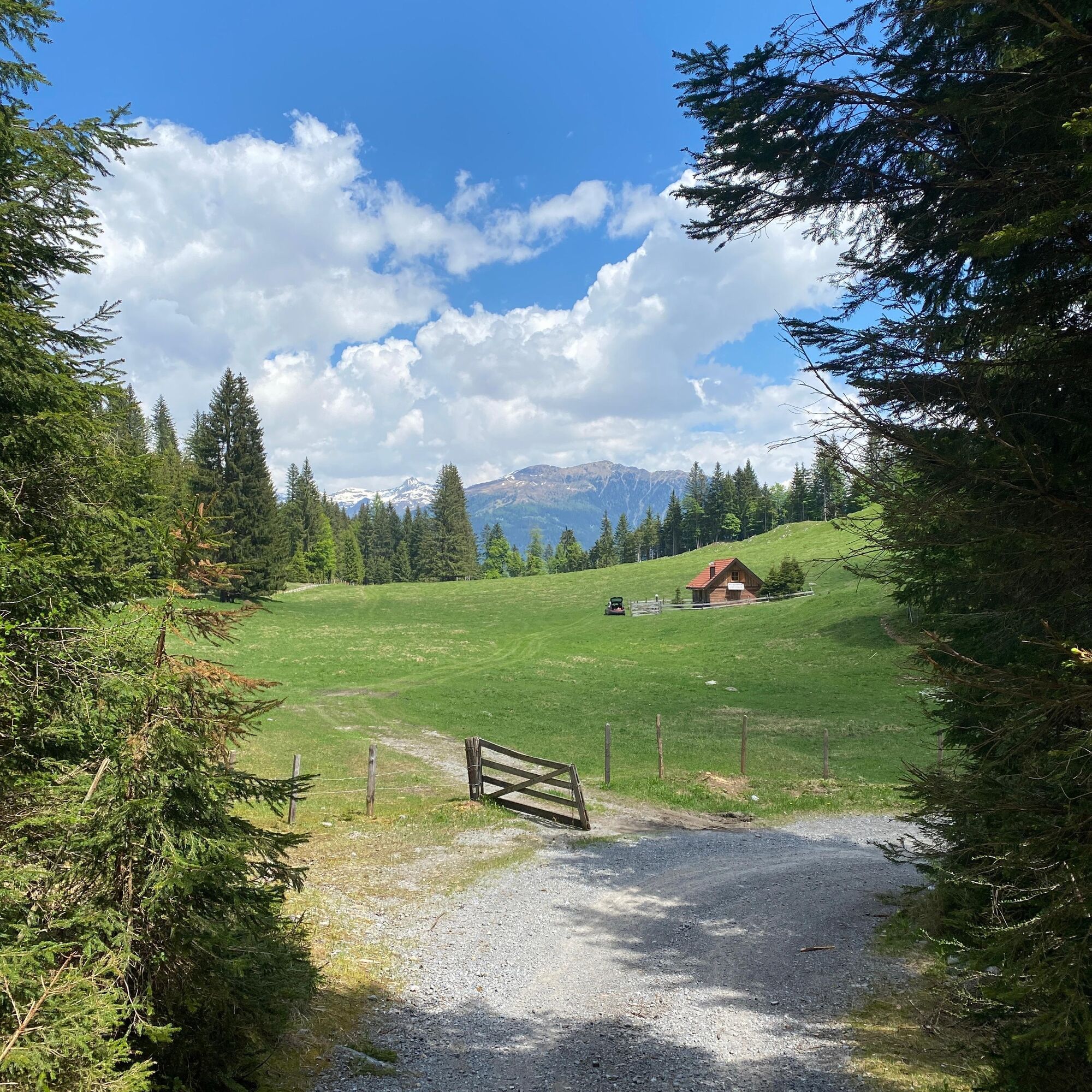
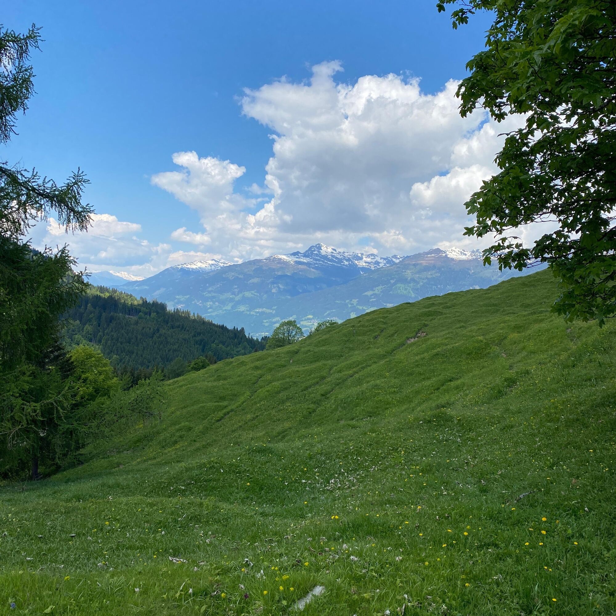
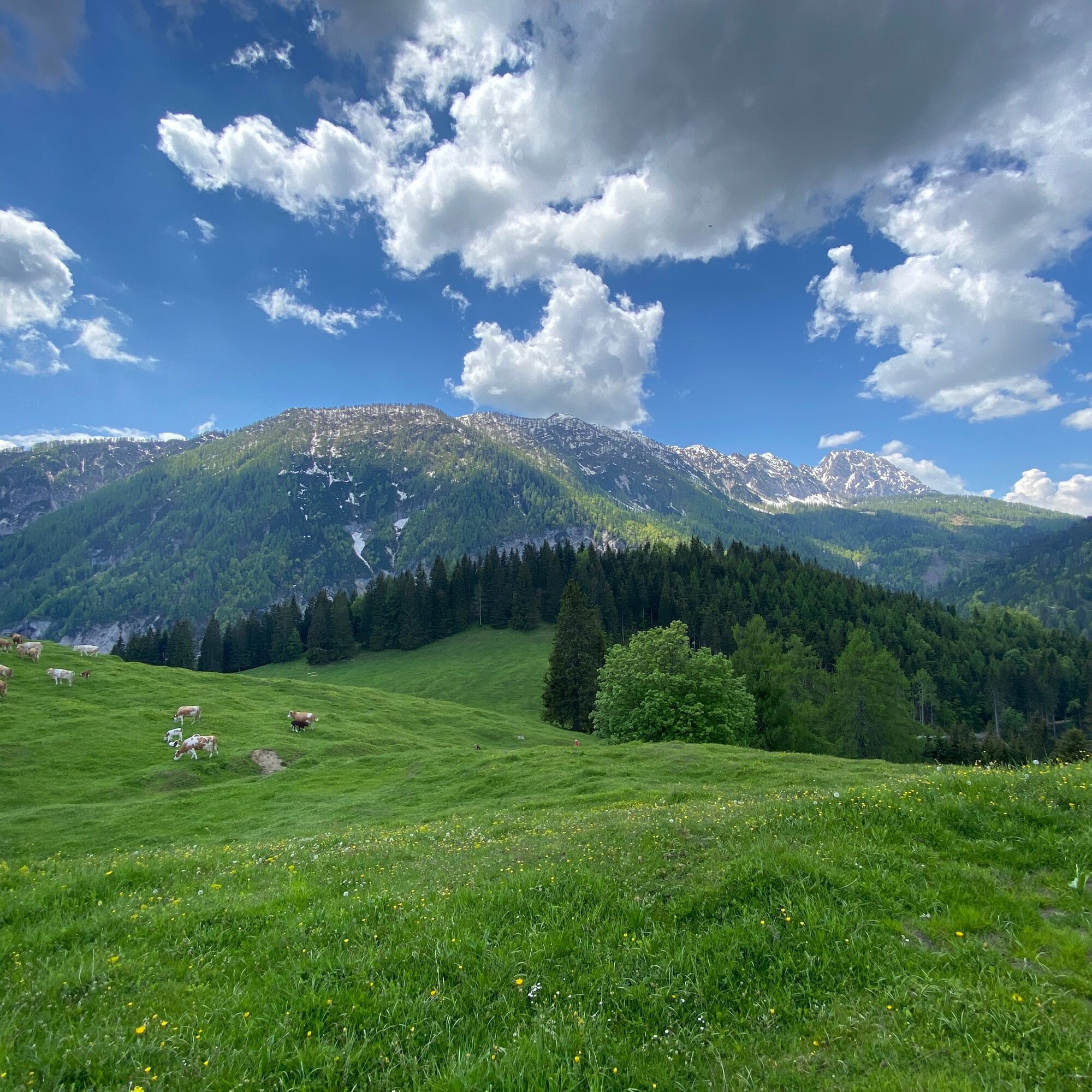
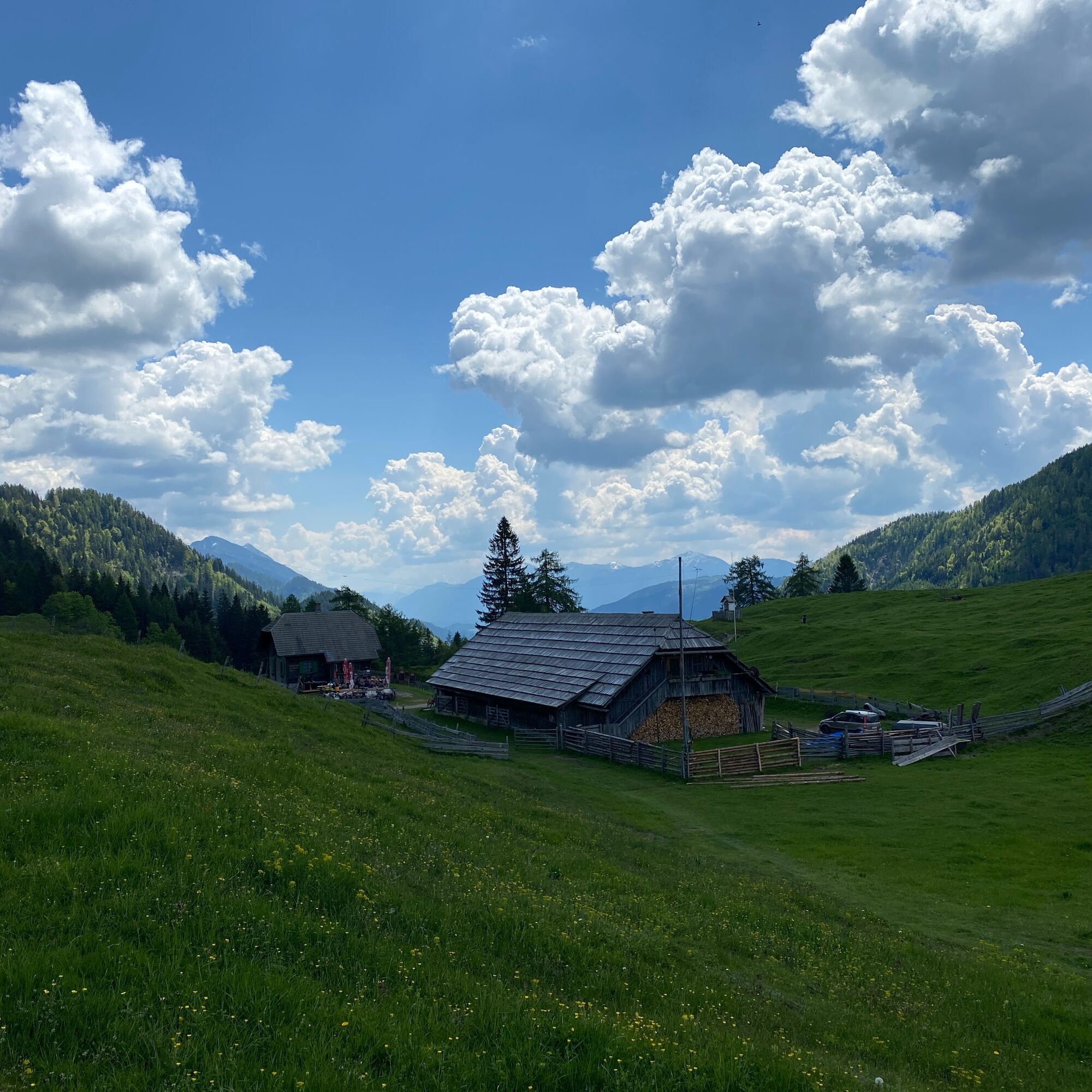
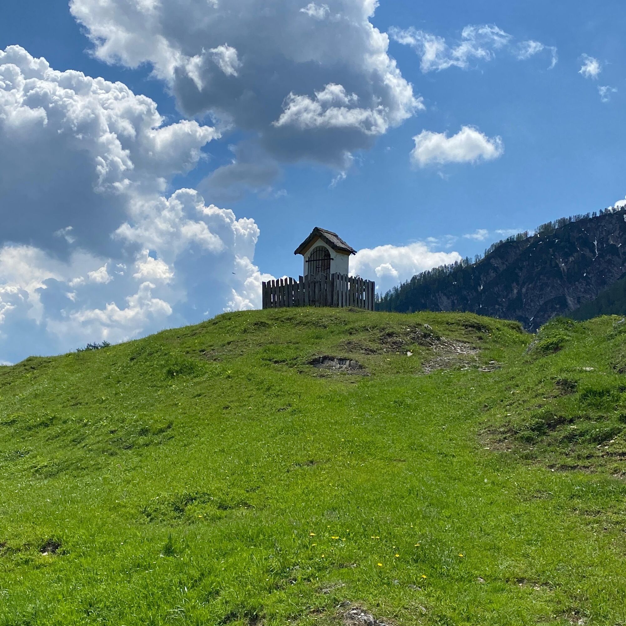

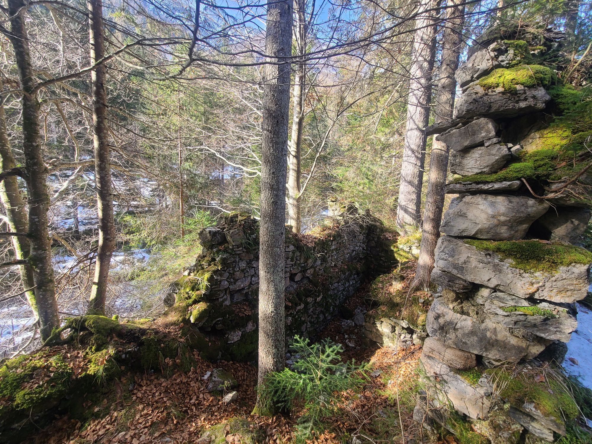
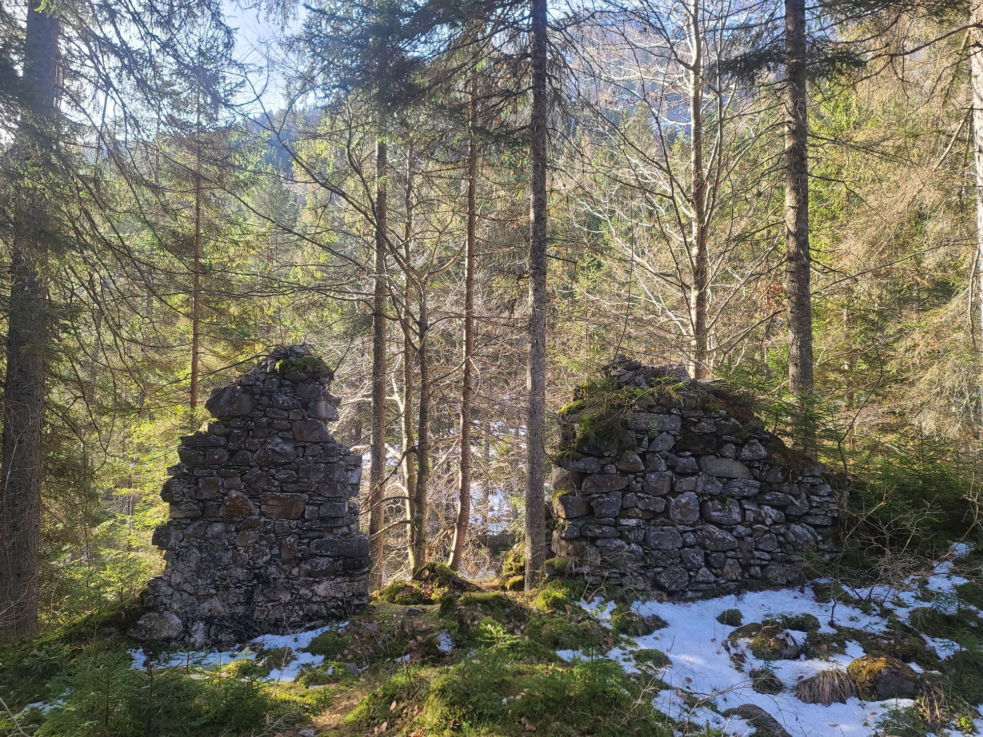
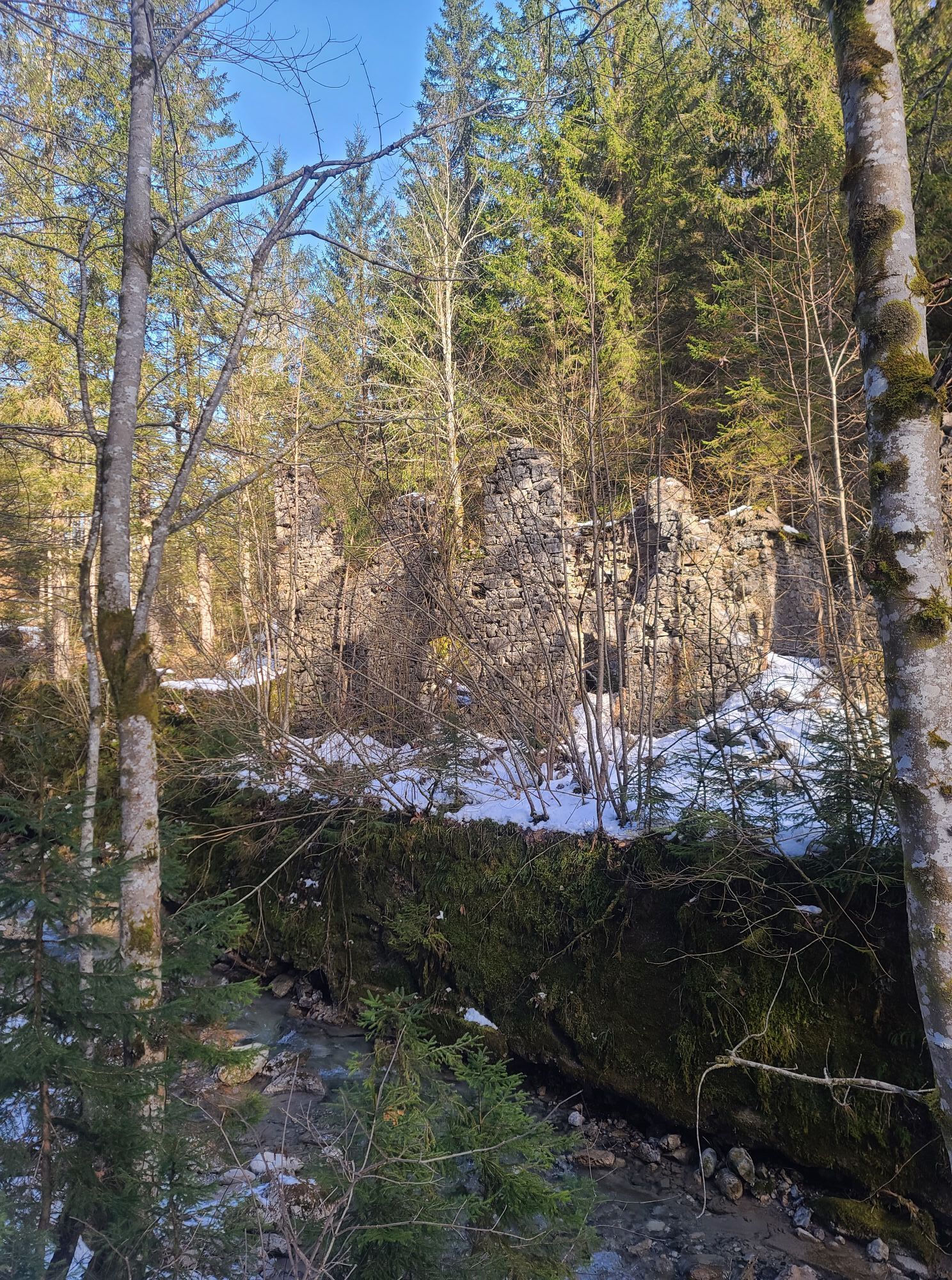
After the municipal office in Weißbriach, still before the bridge turn left along the stream to the Gössering gorge, past the old ruins to the "Großen Hammer" ruin. From here there are two options to reach the Waisacher Alm (operated).
Option 1: "Tuffweg" - via trail 10a to the Plattenweg (9) and further to the Waisacher Alm.
Option 2: follow the forest road, via Pfarreben or via the access road (238) to the Waisacher Alm.
Ano
FAIR PLAY & RESPECT:
Mindfulness towards nature – landowners – your health… and safety on the mountain have the highest priority on your route and related route planning!
Therefore, inform yourself before every hike about the rules of conduct - Safety on the Mountain - as well as the current weather conditions.
Waste disposal:
Waste cannot always be avoided - but in nature it has no place and must be properly disposed of (preferably in the valley or at home).
Emergency numbers:
European emergency number: 112 (access in every available network)
Alpine emergency Austria: 140
By car
From the north (D, NL, DK):
- Tauern motorway – Spittal junction - direction Lienz - Greifenburg - over the Kreuzberg – Weißbriach
- Salzburg - Bad Gastein (train ferry Tauern lock) - Mallnitz - Möllbrücke - Greifenburg - over the Kreuzberg – Weißbriach
From the west (CH, F):
- Felbertauern - Mittersill - Lienz - Greifenburg - over the Kreuzberg - Weißbriach
From the south (I, SLO):
- Udine - Hermagor/Gailtal exit - Hermagor - Weißbriach
- Karawanken motorway - Villach junction - towards Italy - Hermagor/Gailtal exit - Hermagor - Weißbriach
From the east (SLO, HR):
- Klagenfurt – Villach - Hermagor/Gailtal exit - Hermagor - Weißbriach
By plane
The nearest airport is in Klagenfurt.
Airport transfers are possible via Gitschtalreisen Wastian and Mobilbüro Hermagor.
From Villach, take the train to Hermagor. From there, bus line 5066 runs to Weißbriach.
Municipal office Weißbriach
Are you looking for hiking tips in the region as well as a state-certified guide for a guided mountain hike?
You can find this and many other infos at - hiking tips and provider info
In Weißbriach there are year-round open places to eat and drink - details at Service A-Z.
The path to the Waisacher Alm corresponds to path number 10/10a of the Gitschtal hiking map.
 Získejte přehled
Vždy živě na místě s více než 9 500 webkamerami. bergfex Jako uživatel Pro si nyní můžete zobrazit odpovídající webové kamery pro mnoho prohlídek v aplikaci prohlídky z. Můžete si tak přímo prohlédnout aktuální podmínky.
Získejte přehled
Vždy živě na místě s více než 9 500 webkamerami. bergfex Jako uživatel Pro si nyní můžete zobrazit odpovídající webové kamery pro mnoho prohlídek v aplikaci prohlídky z. Můžete si tak přímo prohlédnout aktuální podmínky.

Oblíbené prohlídky v okolí
-
4.7
W5 - Naggler Alm Round Weissensee
středníMountainbike 15.8 km -
4.9
Slow Trail Weissensee
středníTuristika 6.69 km -
4.6
RW_N9 Weißenbachklamm
středníTuristika 7.49 km -
4.9
Weissensee Ost- nach Westufer
světloTuristika 10.2 km -
4.8
Weiße Wand - Alm hinterm Brunn
Mountainbike 22.1 km -
4.6
Bergstation Weißensee bis Golz
středníTuristika 14.8 km -
4.8
Drau Cycle Path R1
světloJízda na kole 75.9 km -
5.0
Bodenalm - Ostufer - mit dem Schiff zurück
Mountainbike 19.1 km -
4.4
WY_W2 hike to the Alm behind the Brunn
středníZimní turistika 3.04 km -
4.2
Emberger Alm - Hochtristen
středníTuristika 9.50 km

Pěší turistika a stopování


Nenechte si ujít nabídky a inspiraci pro vaši příští dovolenou
Vaše e-mailová adresa byl přidán do poštovního seznamu.





