


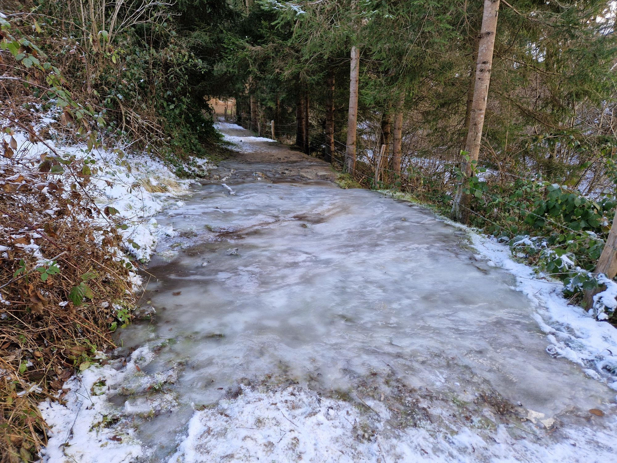
Vierbergeweg Stage 5 Gradenegg - St. Veit
Fotografie našich uživatelů
-
 © Bernhard KollerVytvořeno dne 17.04.2026
 -
 © Bernhard KollerVytvořeno dne 17.04.2026
 -
 © Daniela ProseggerVytvořeno dne 17.04.2026
 -
 © Bernhard KollerVytvořeno dne 17.04.2026
 -
 © Markus MosserVytvořeno dne 17.04.2026
 -
 © Markus MosserVytvořeno dne 17.04.2026
 -
 © Florian DürneggerVytvořeno dne 28.03.2026
 -
 © Wolfgang Wurzer 1Vytvořeno dne 28.03.2026
 -
 © Florian DürneggerVytvořeno dne 28.03.2026
 -
 © Florian DürneggerVytvořeno dne 28.03.2026
 -
 © Florian DürneggerVytvořeno dne 28.03.2026
 -
 © Glanzer JuliusVytvořeno dne 14.01.2026
 -
 © Glanzer JuliusVytvořeno dne 14.01.2026
 -
 © Glanzer JuliusVytvořeno dne 14.01.2026
 -
 © Glanzer JuliusVytvořeno dne 14.01.2026
 -
 © Markus MosserVytvořeno dne 23.11.2025
 -
 © Markus MosserVytvořeno dne 23.11.2025
 -
 © Damaris HaaaVytvořeno dne 02.05.2025
 -
 © Roland NaglVytvořeno dne 02.05.2025
 -
 © Roland NaglVytvořeno dne 02.05.2025
 -
 © Walter KapellerVytvořeno dne 04.02.2025
 -

 © Mario ThomaschützVytvořeno dne 18.01.2025
 -
 © Mario ThomaschützVytvořeno dne 18.01.2025
 -
 © HeinzKVytvořeno dne 22.07.2025
 -
 © Markus MosserVytvořeno dne 02.01.2025
 -
 © Markus MosserVytvořeno dne 02.01.2025

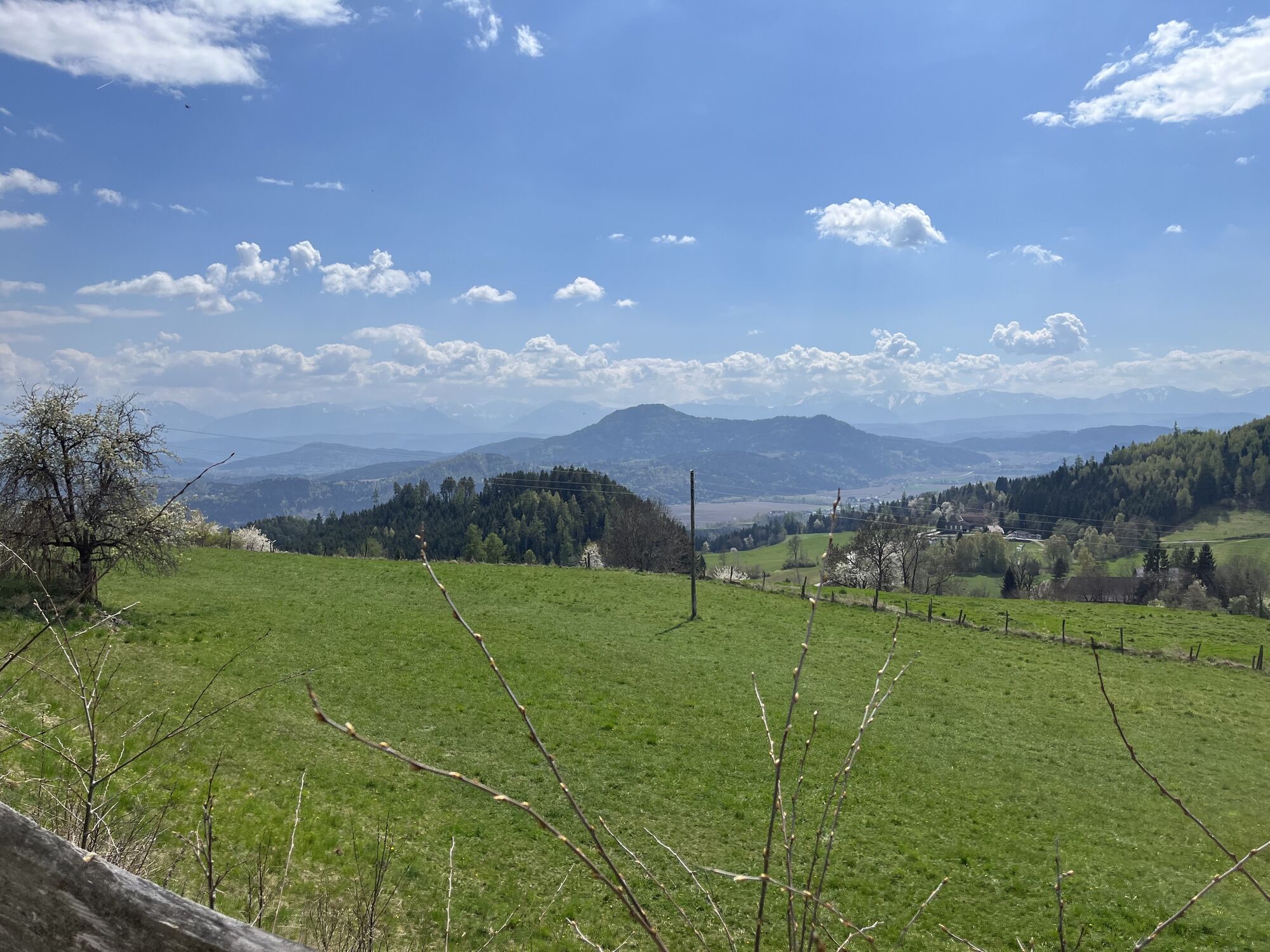
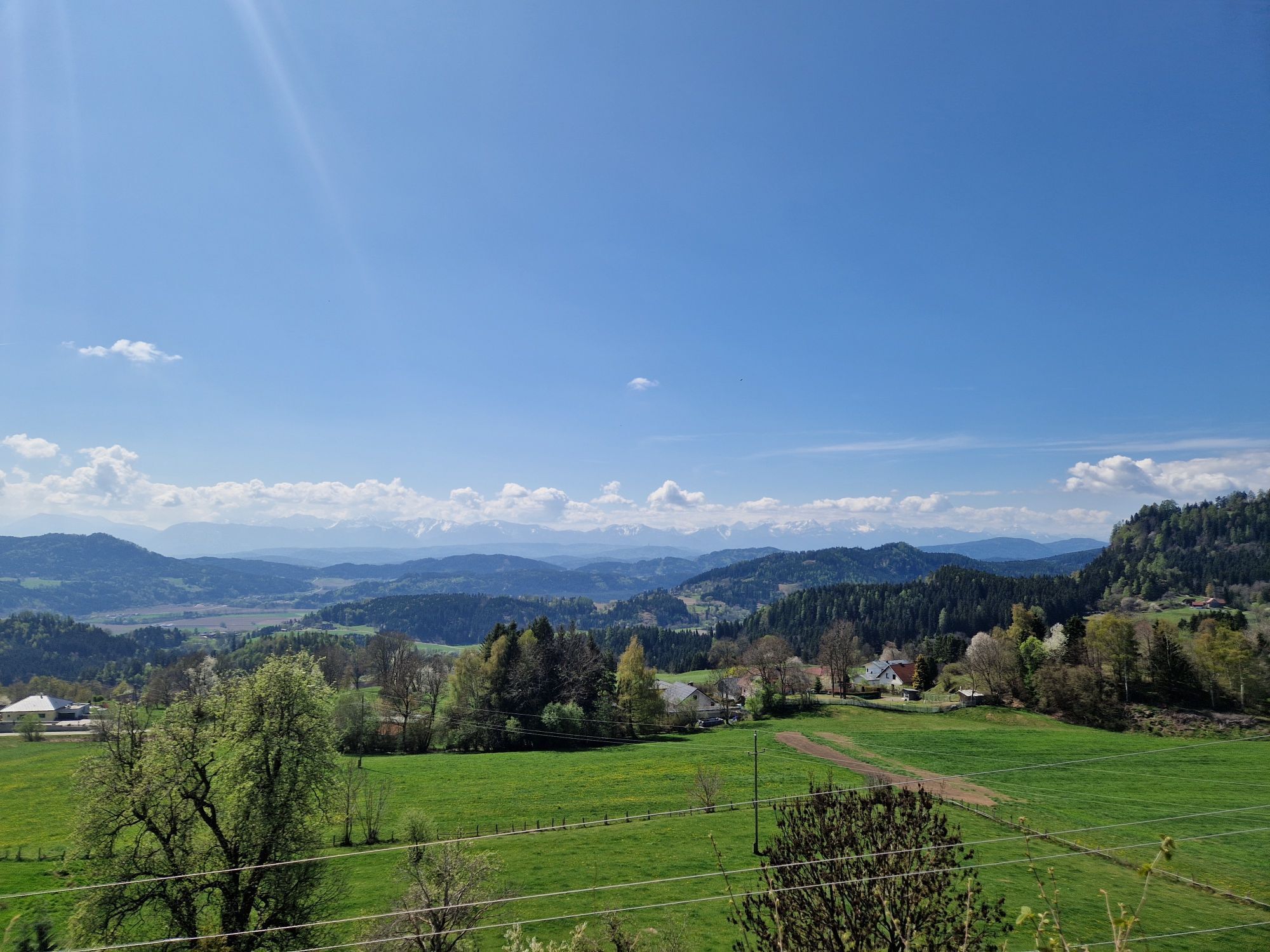
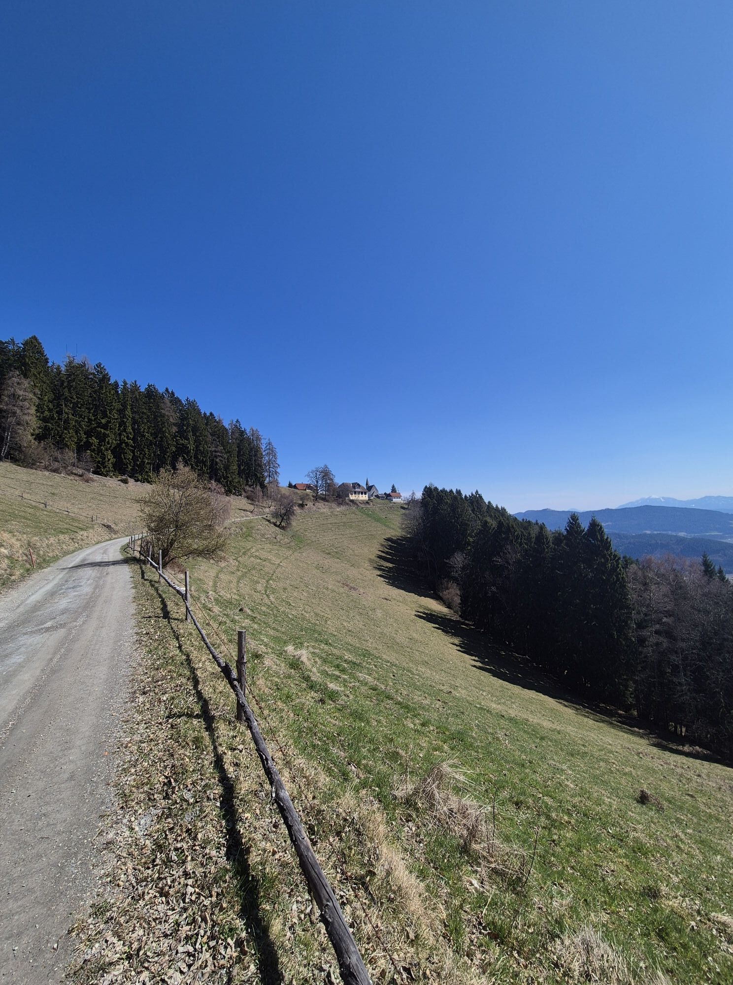


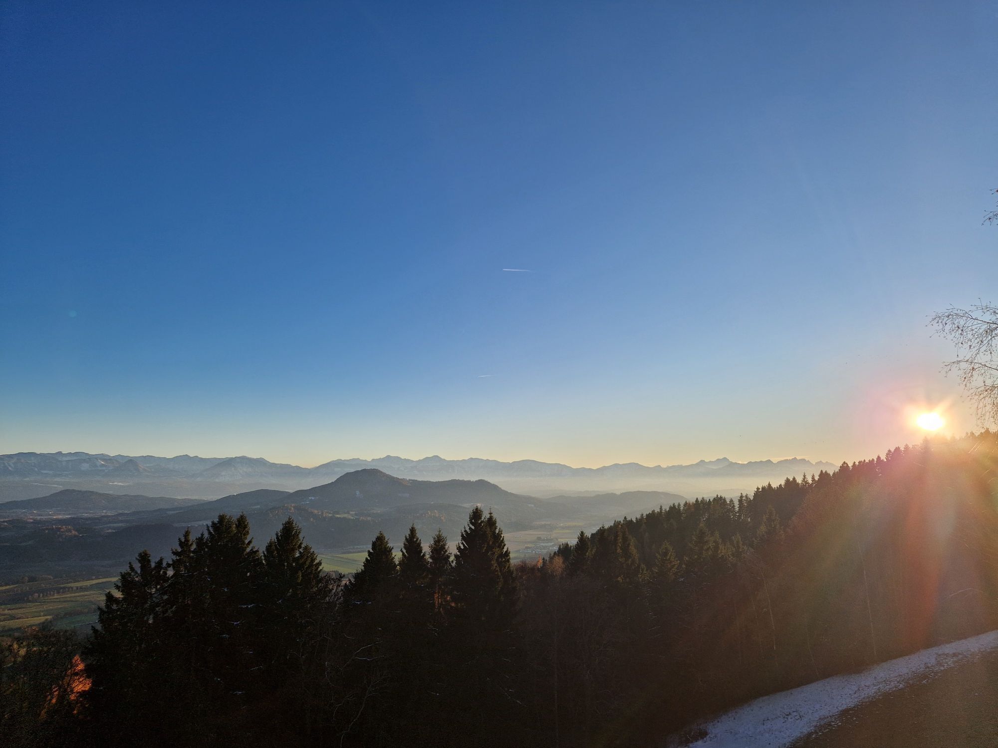
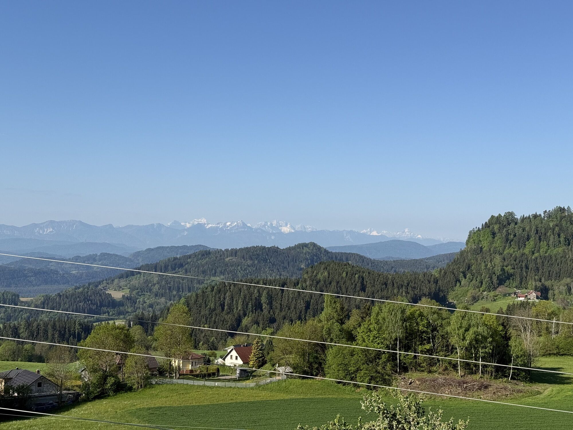


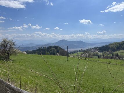
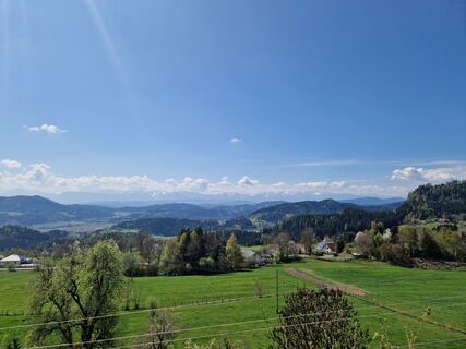
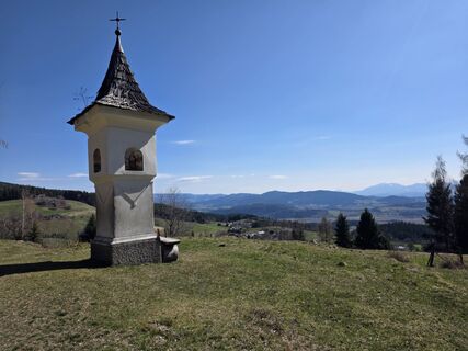
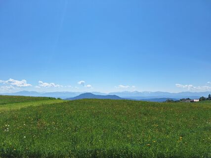
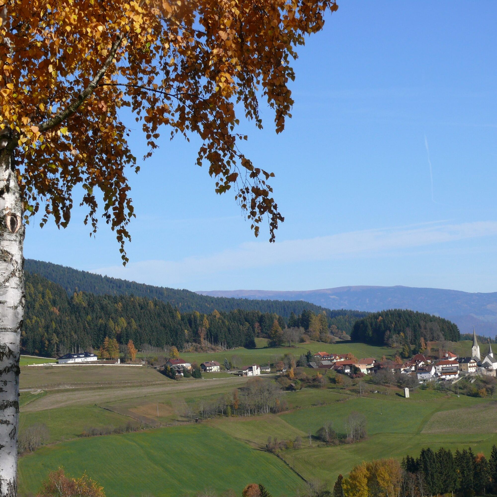
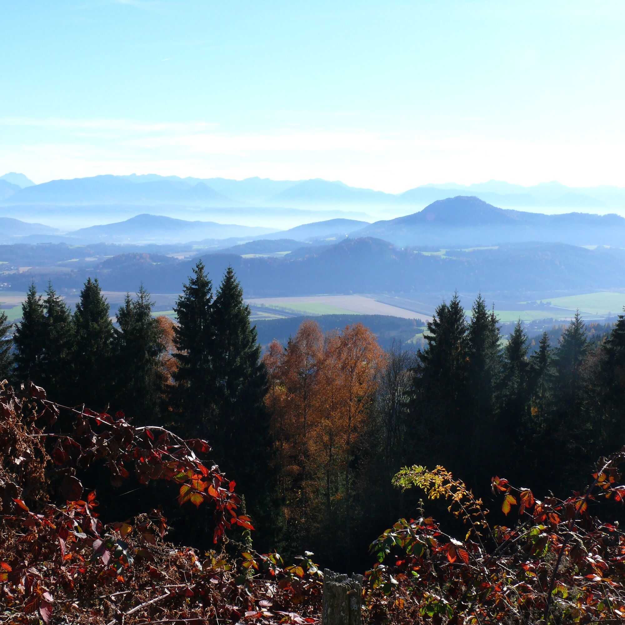
View into the country: High above the Glan valley there is a wonderful view into the historic heart of Carinthia and an impressive view of the Karawanks and the Carnic Alps. The hiker also passes many...
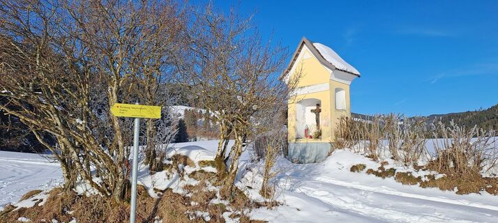
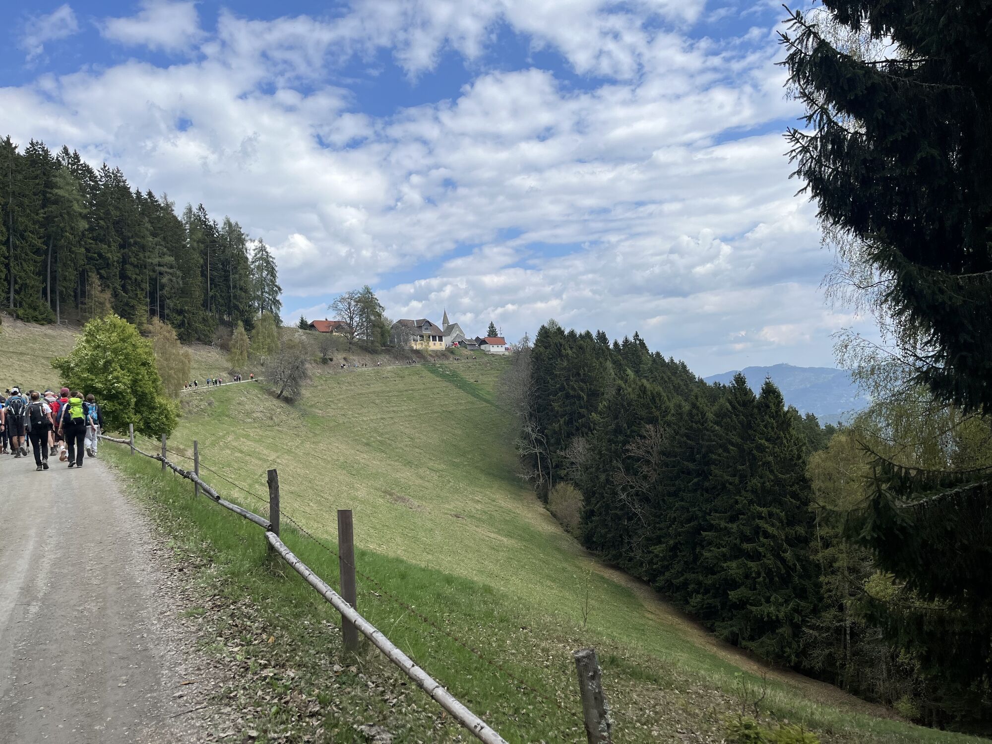
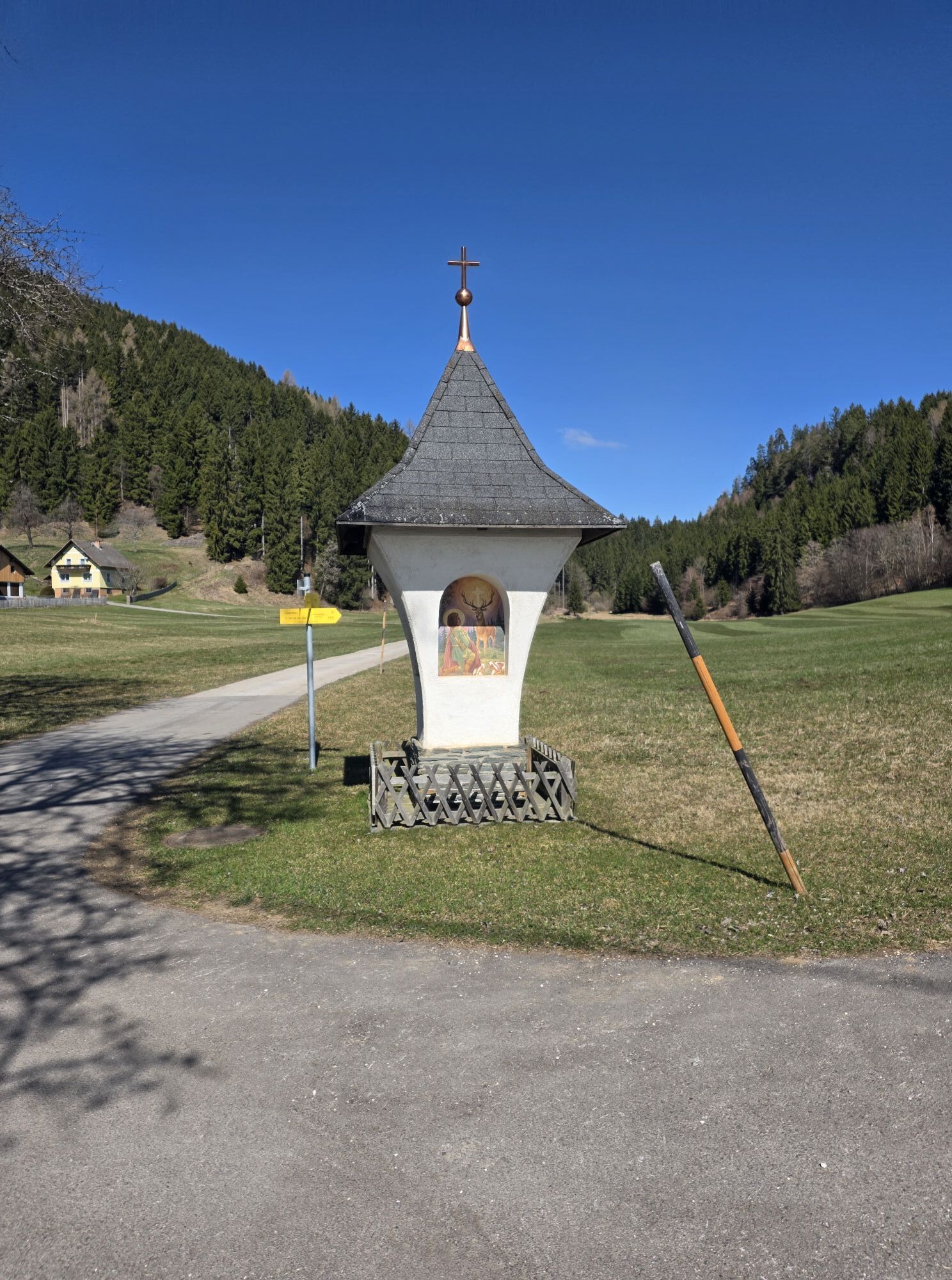
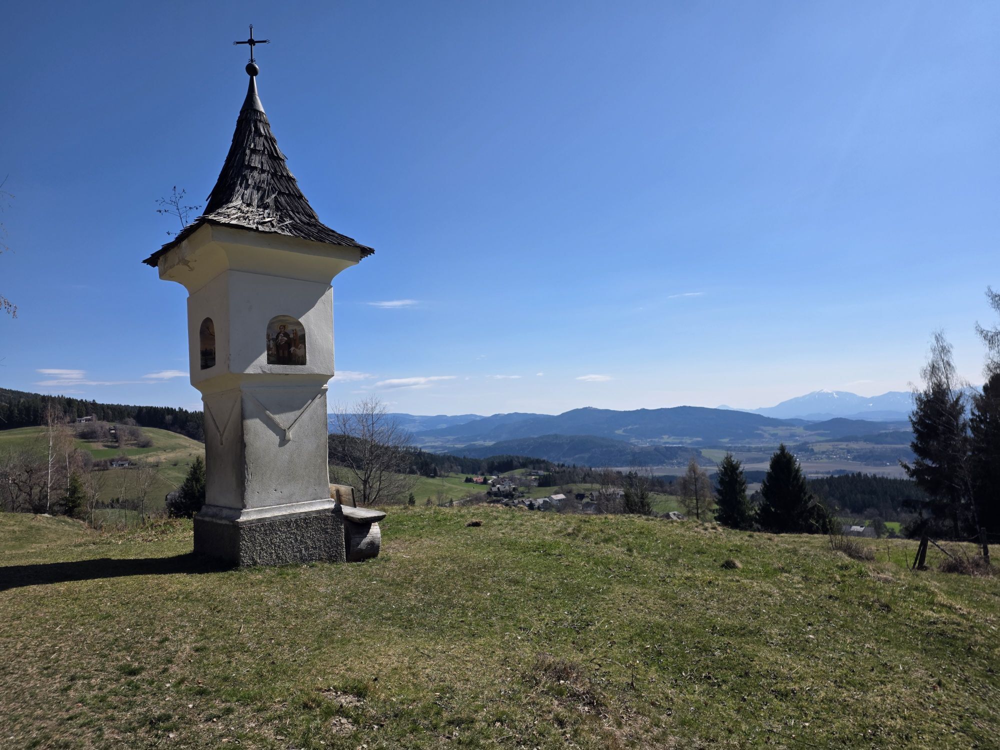
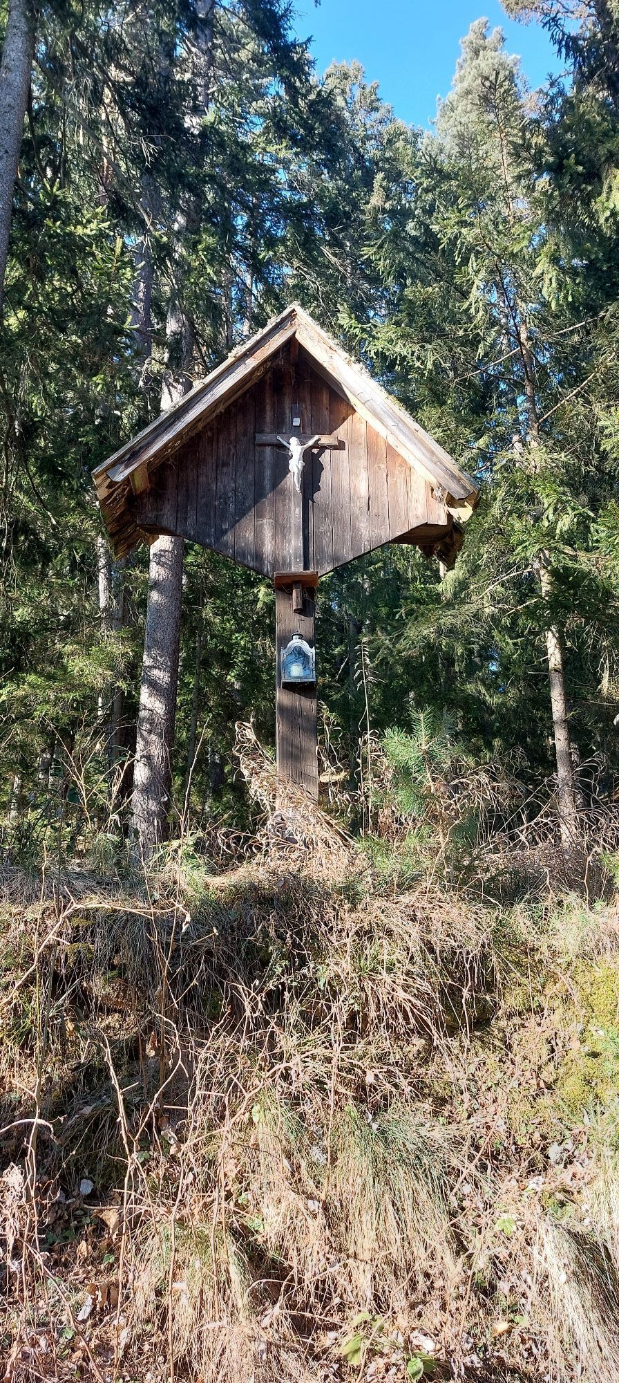
View into the country: High above the Glan valley there is a wonderful view into the historic heart of Carinthia and an impressive view of the Karawanks and the Carnic Alps. The hiker also passes many historic wayside crosses which point the way to the fourth of the Holy Mountains, the Lorenziberg.
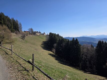
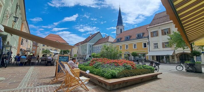
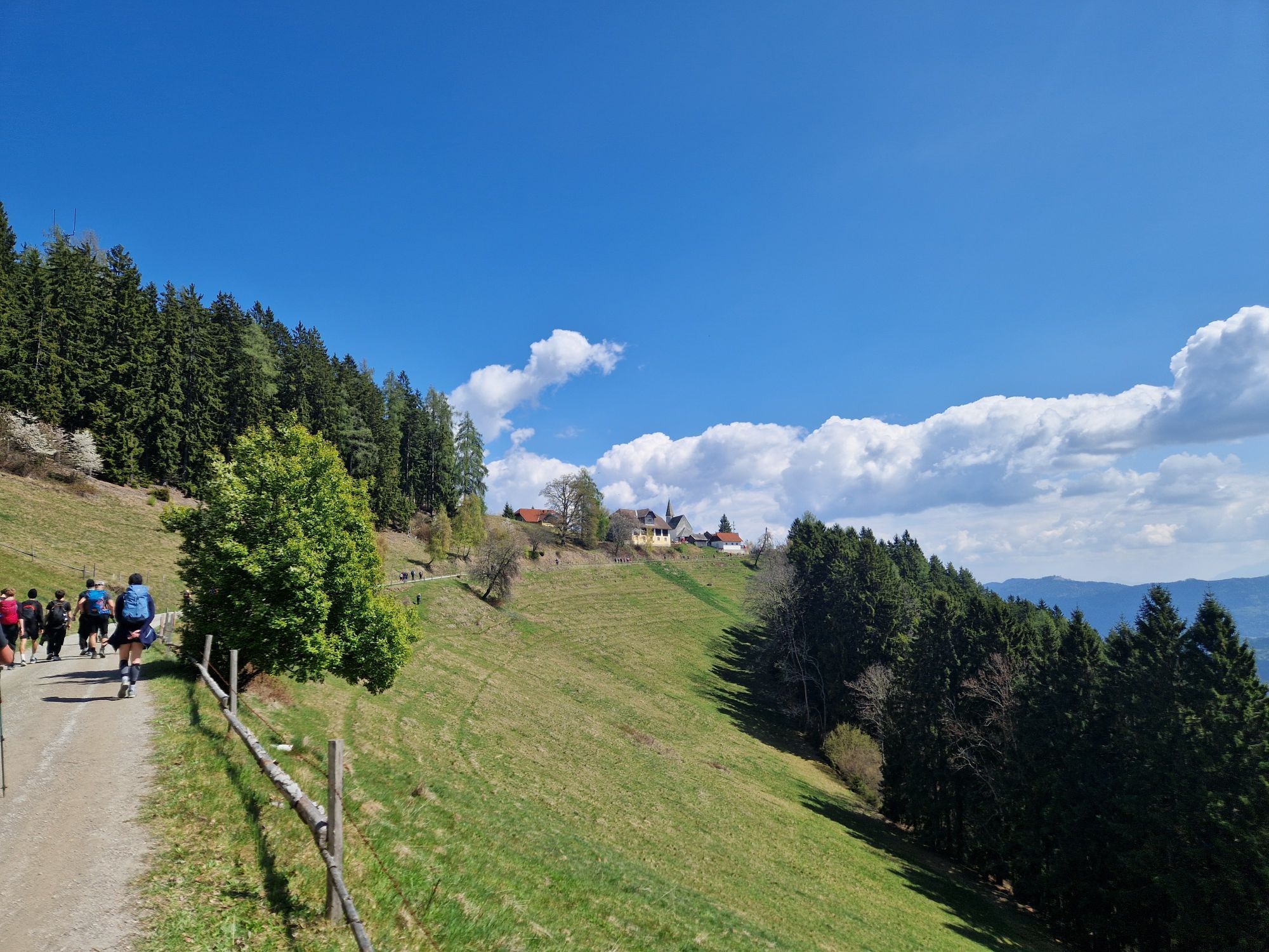
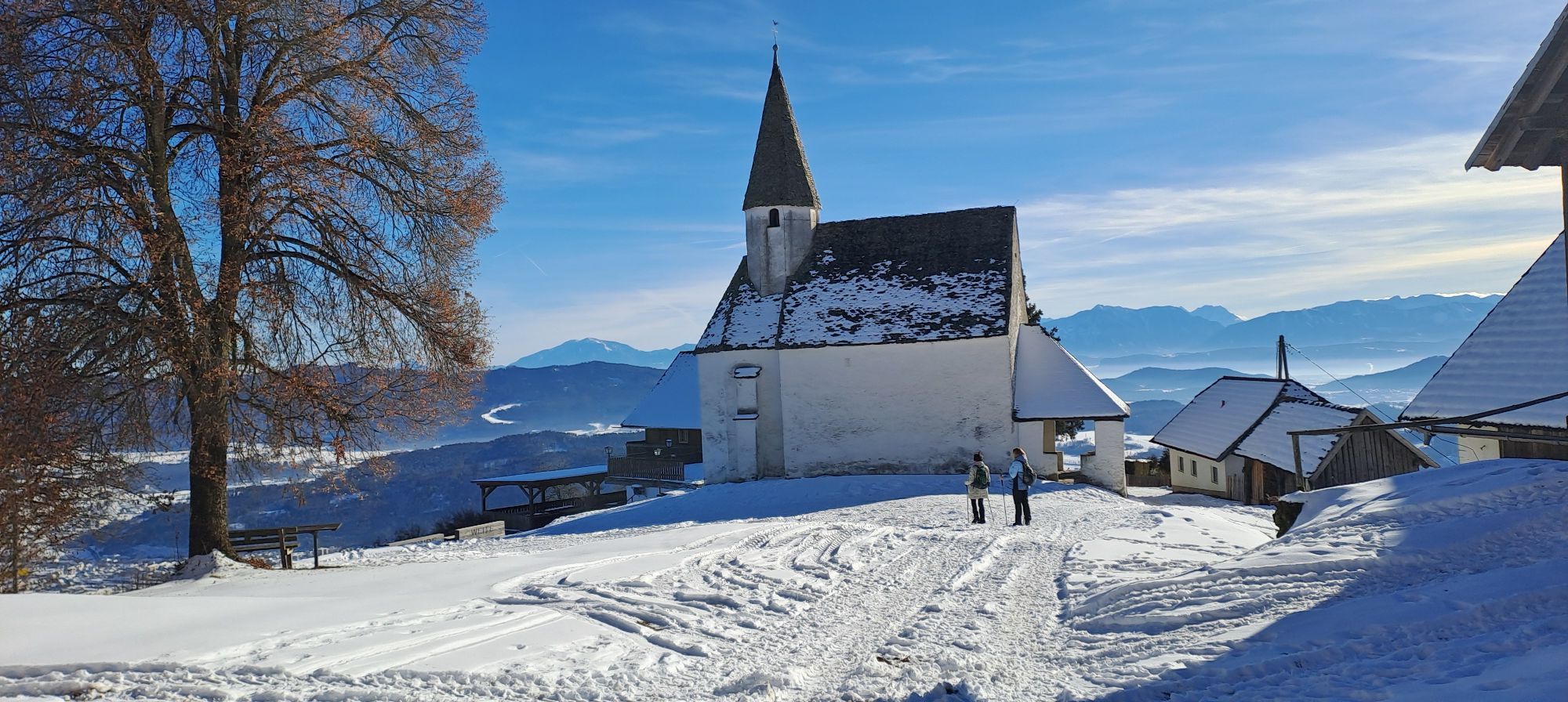
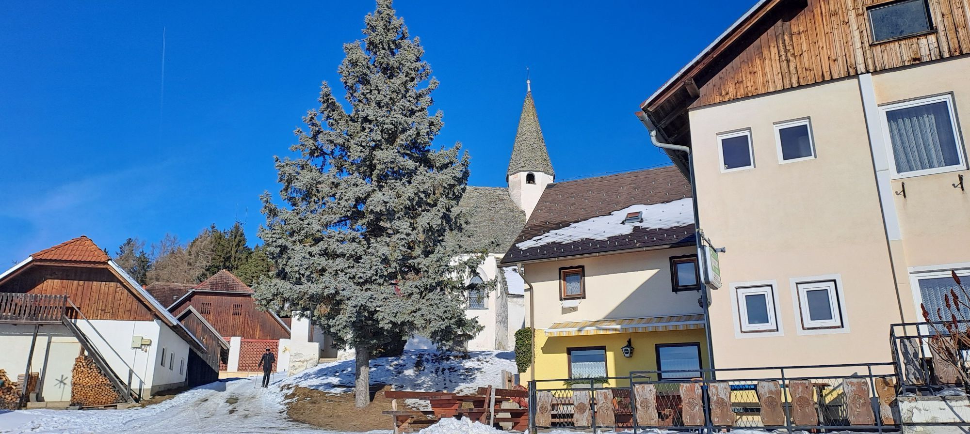
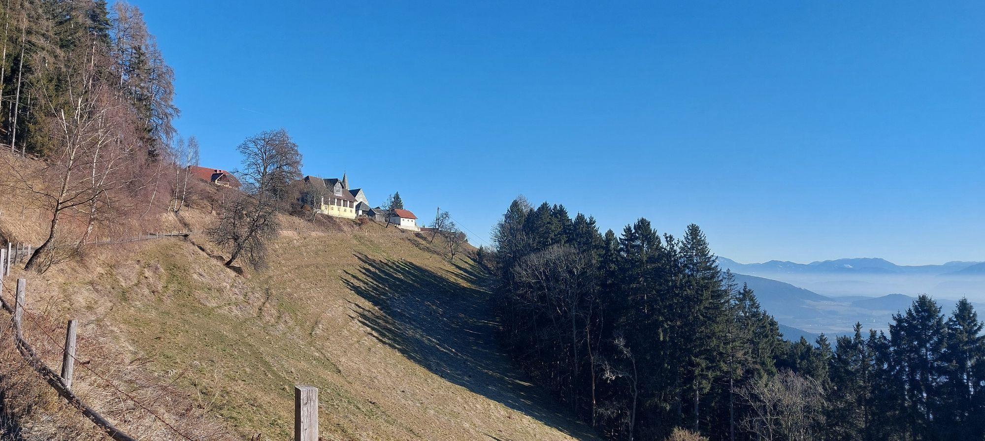
A short break in Sörg is recommended before you tackle the ascent to the last of the four mountains, the Lorenziberg. From here you hike downhill back to the old town of St. Veit.
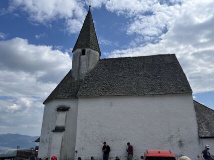
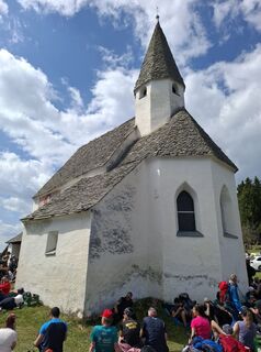
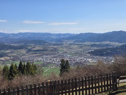
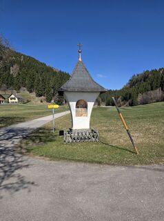
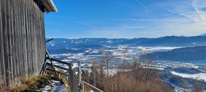
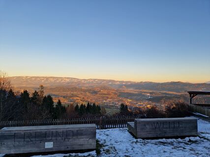
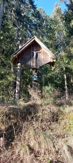
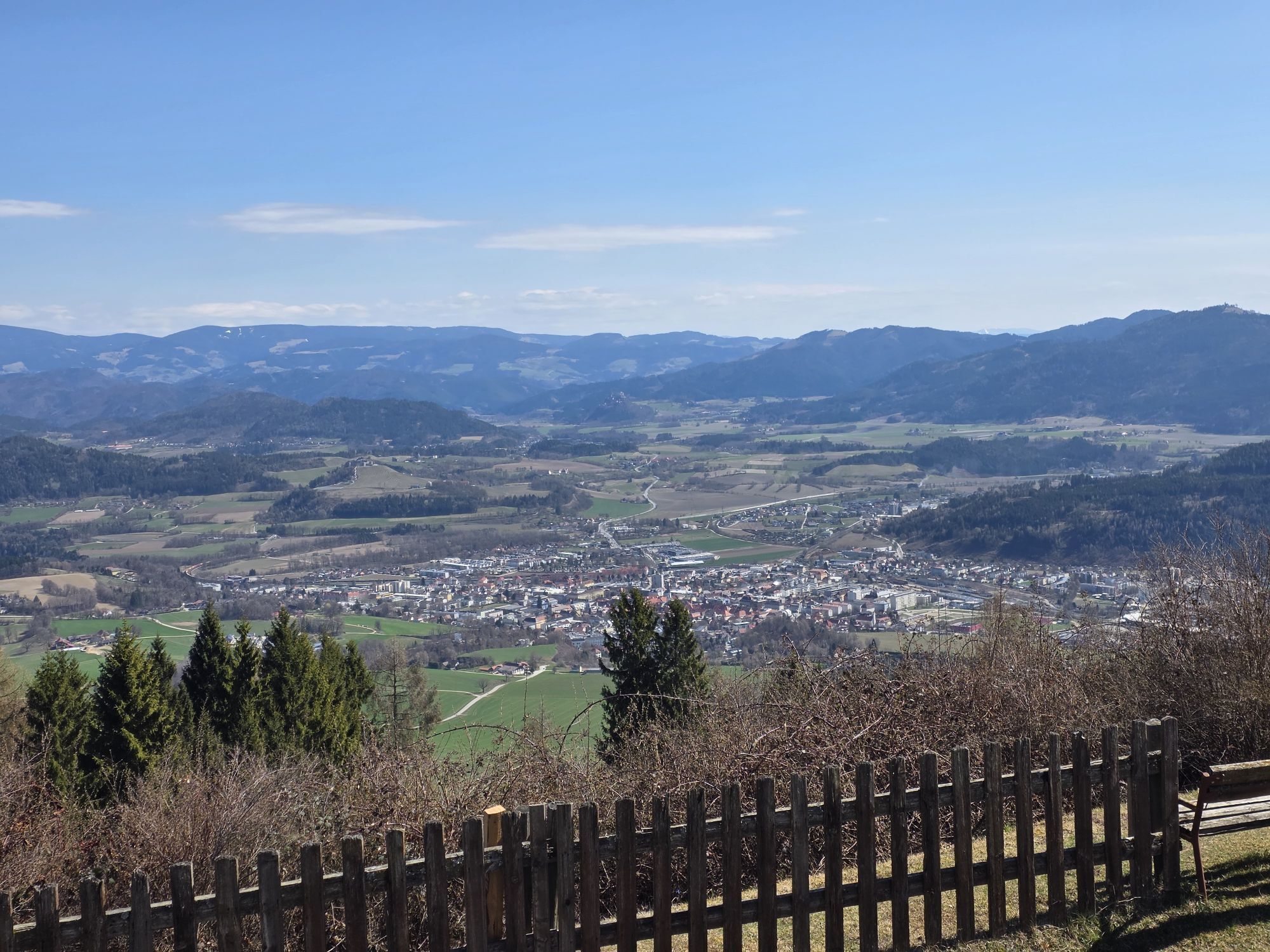
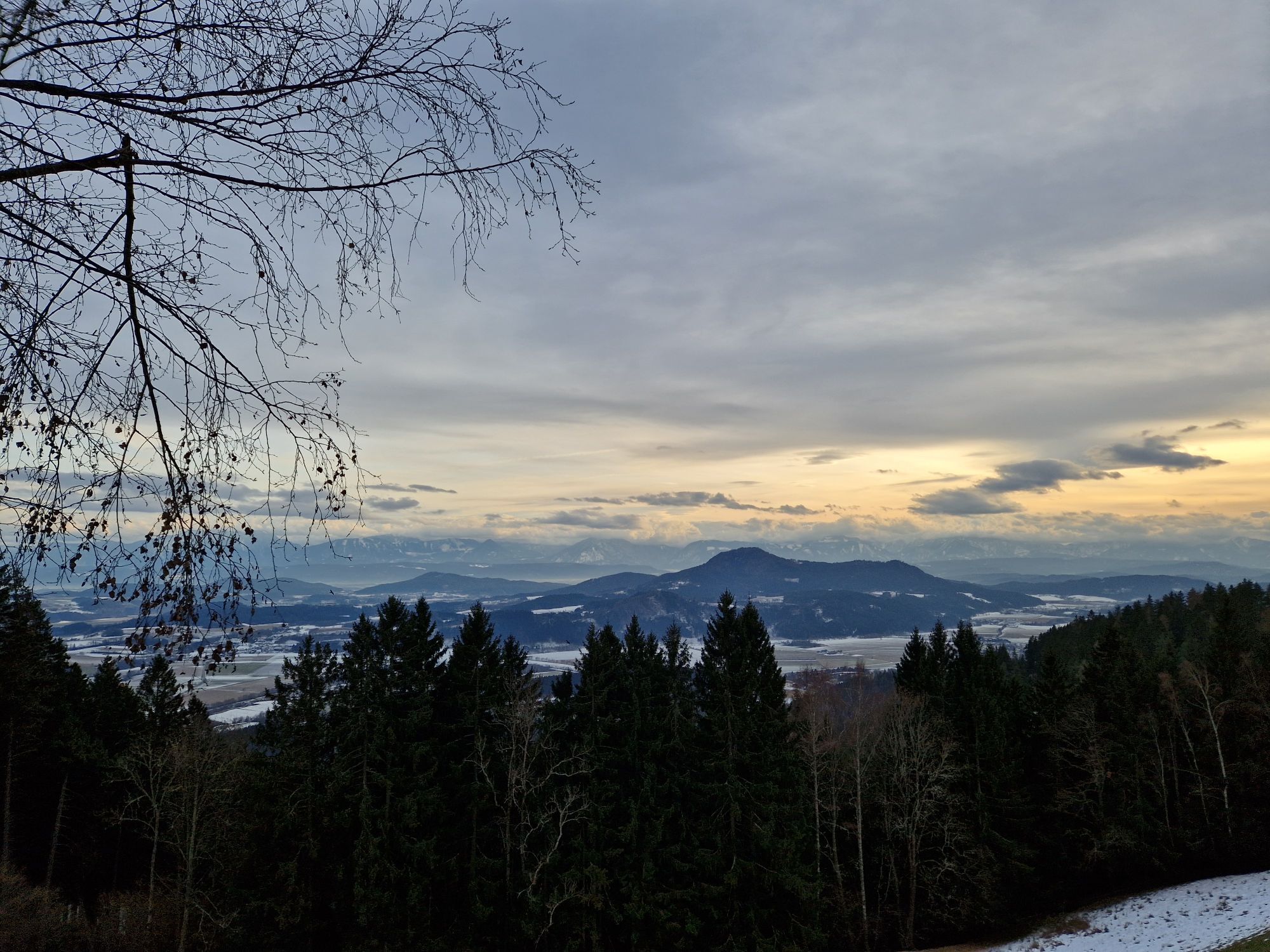
At Lorenziberg, a breathtaking view opens up over St. Veit and the surrounding land, which lies at the feet of every four-mountain hiker.

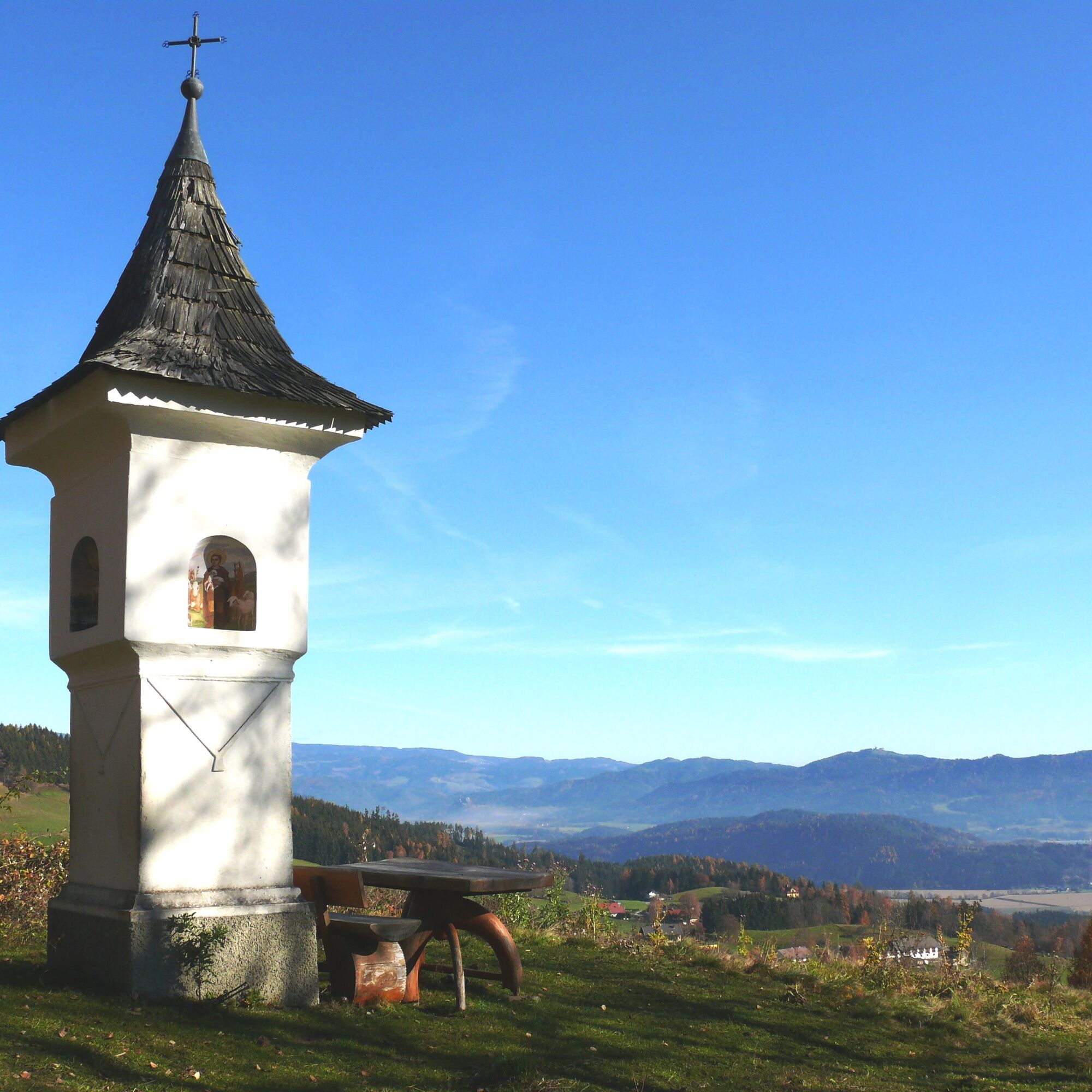
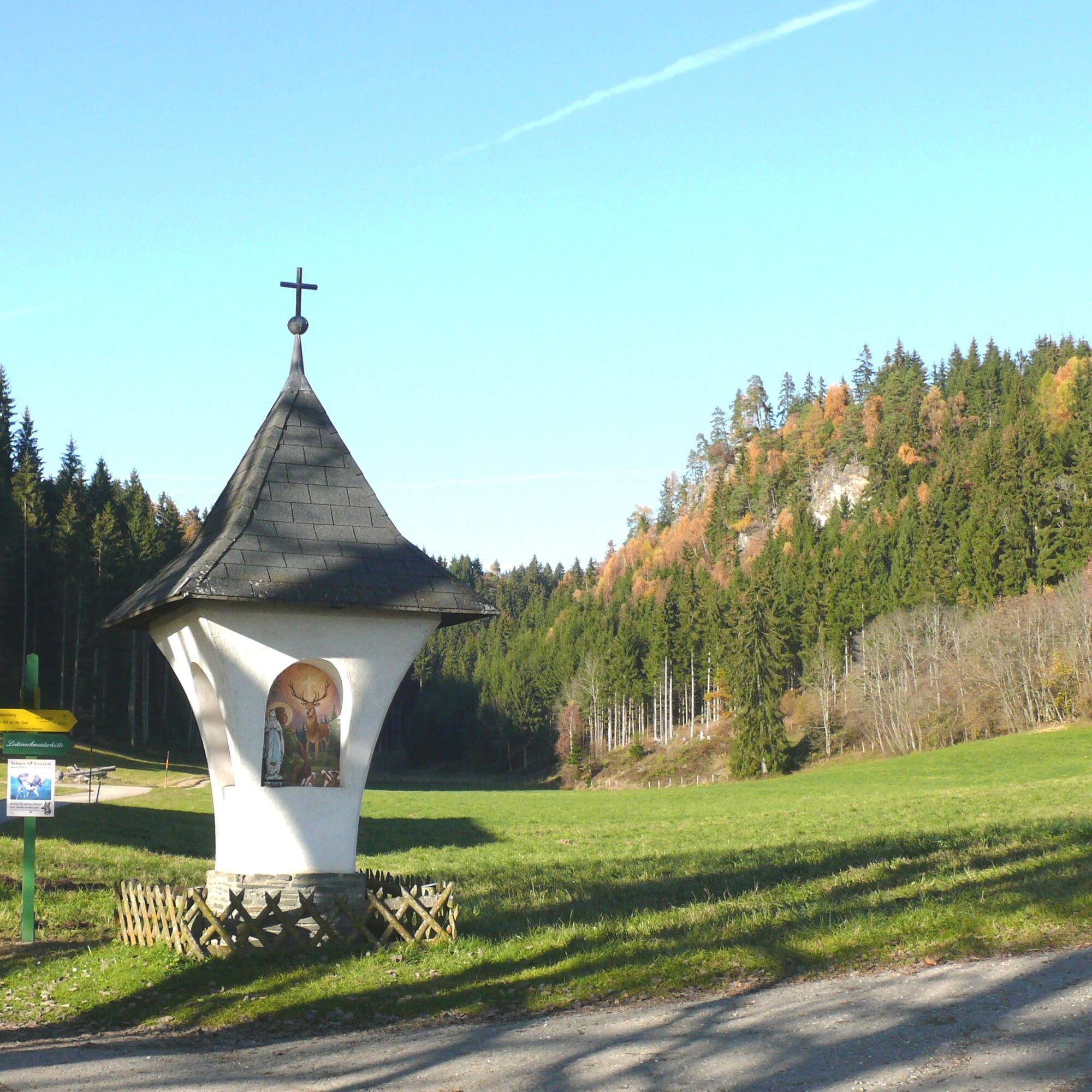
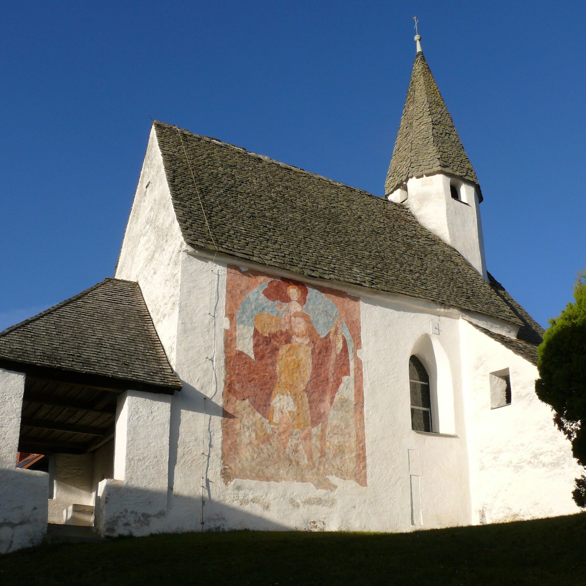
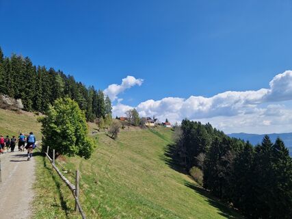
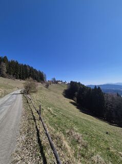
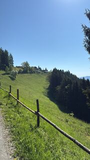
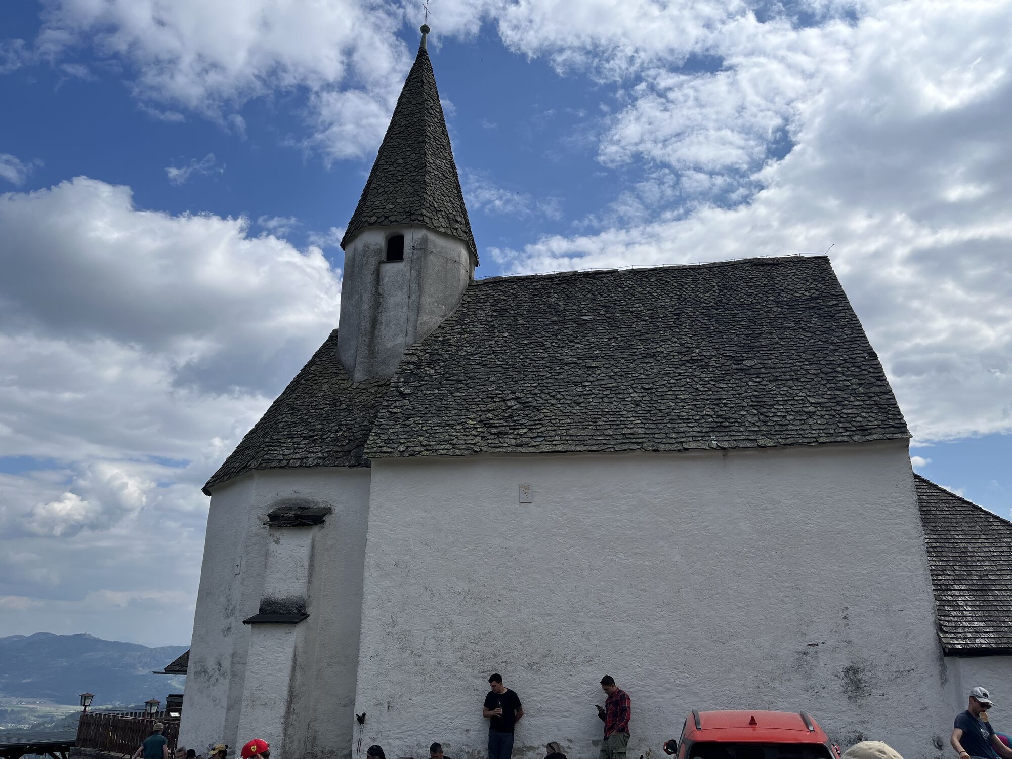
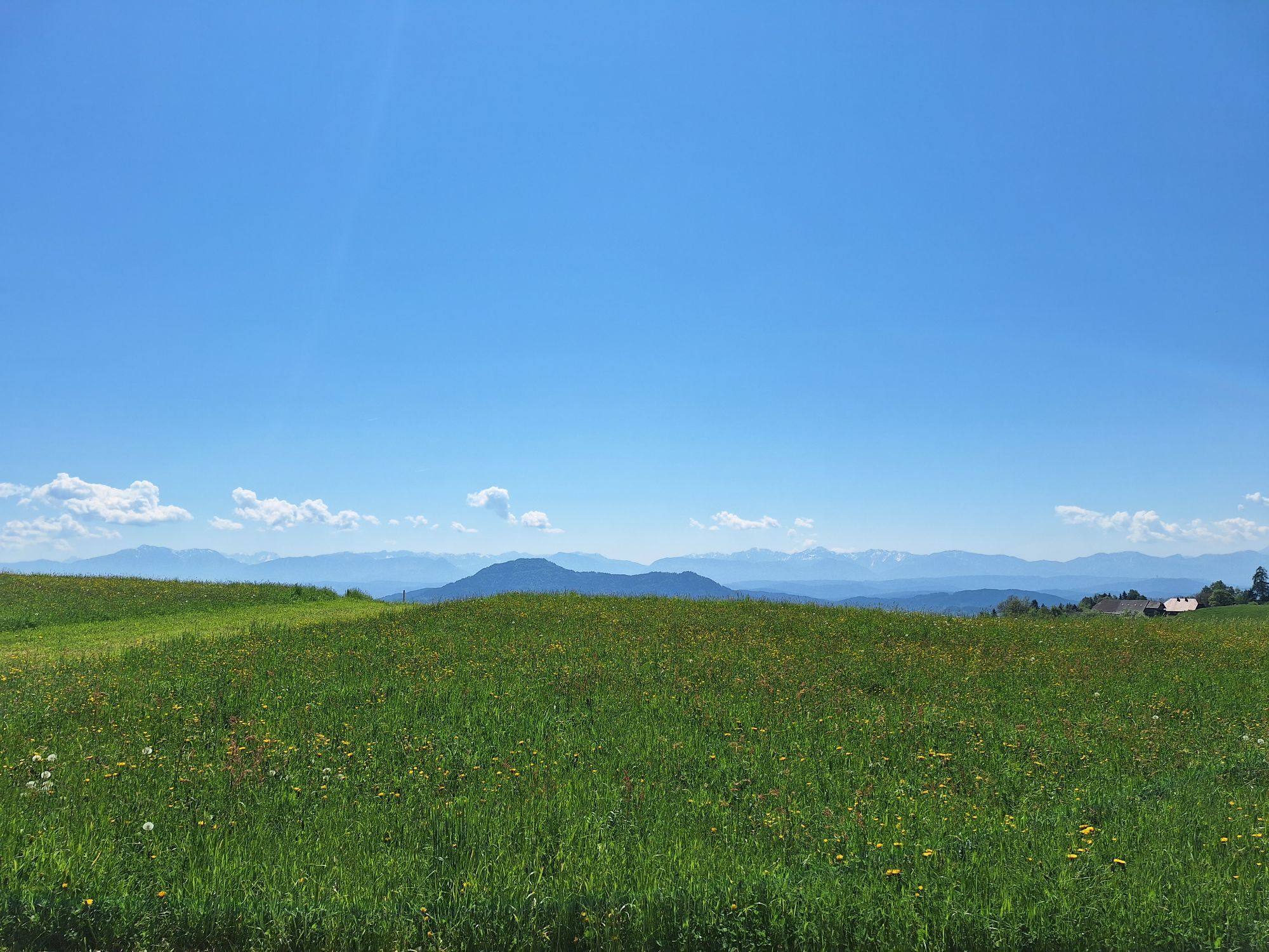
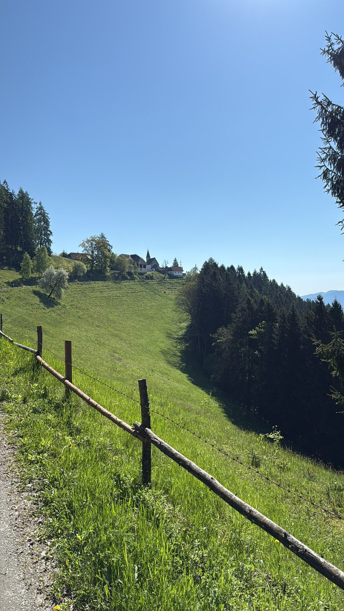
You leave Gradenegg eastwards and bypass the Steinerkogel via forest and meadow paths, repeatedly enjoying magnificent views of the Glan valley and the Karawanks. In Pflausach, you cross the Adventure Water Trail, which leads through the impressive gorge of the Harterbach with the 25m high Sörger waterfall. The Martinskirche in Sörg points the way from afar to the peaceful village on the "balcony" of the Glan valley. Through the towns of Reidenau and Fachau, you follow the hiking trail along the south slope of the Gauerstal up to the church on Lorenziberg, where you can refresh yourself in the inn with wonderful views.
Over some switchbacks, it goes comfortably along the forest road into the valley until you enter the so-called Hammergraben in Obermühlbach. Impressive rock formations guide your way past the Vitus spring until you reach the starting point of the hike, the old town of St. Veit.
Good footwear and clothing appropriate to the season are recommended.
please pay attention to the weather
Via the B94 Ossiacher Straße and the L68 Liemberger Straße either via Glantschach or via Liemberg to Gradenegg
ÖBB timetable information:
https://fahrplan.oebb.at/webapp/#!P|TP!H|671463
Parking spaces available at the church in Gradenegg
find more routes here:
https://regio.outdooractive.com/oar-mittelkaernten/de/
A detour is recommended along the way to enjoy the impressive scenery of the Adventure Water Trail in Liebenfels.

Oblíbené prohlídky v okolí
-
4.7
Abenteuer-Wasser-Weg
středníTuristika 9.13 km -
4.7
Vierbergelauf
středníPoutní stezka 47.6 km -
4.5
Ulrichsberg
světloTuristika 5.60 km -
3.6
Kunstwanderweg rund um den Längsee (1)
světloTuristika 5.43 km -
4.1
MAGDALENSBERG RUNDWANDERUNG
středníTuristika 11.7 km -
4.4
Magdalensberg von St.Donat
světloTuristika 9.28 km -
3.8
Schloss Frauenstein - Kraiger lake circular route
světloTuristika 6.96 km -
4.0
Around the Buchberg (6)
středníTuristika 8.79 km -
4.7
Through the Wolschart Forest (8)
světloTuristika 9.98 km -
3.0
Paulsberg trail
světloZimní turistika 5.02 km

Pěší turistika a stopování


Nenechte si ujít nabídky a inspiraci pro vaši příští dovolenou
Vaše e-mailová adresa byl přidán do poštovního seznamu.