







Mittagskogel

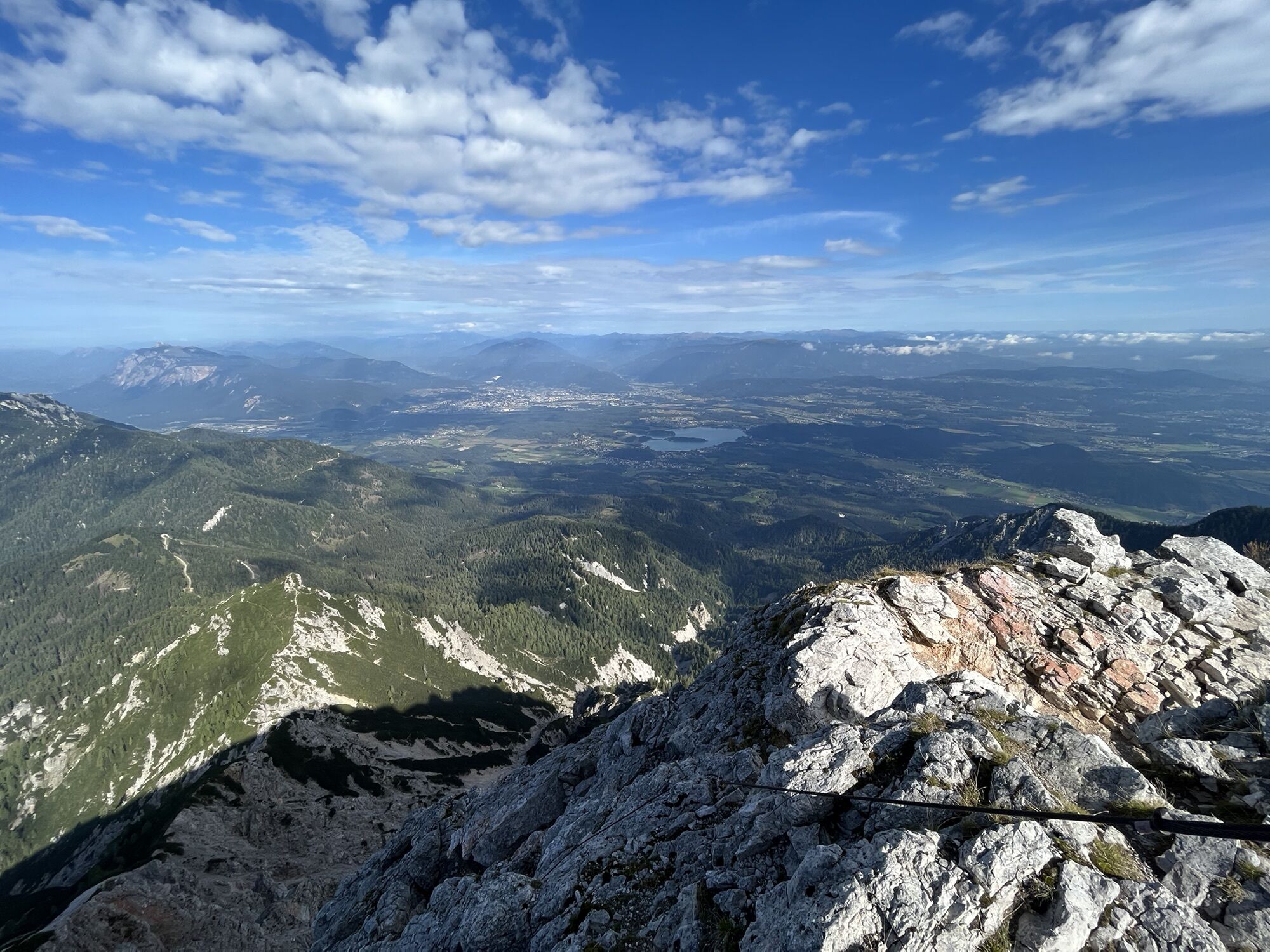
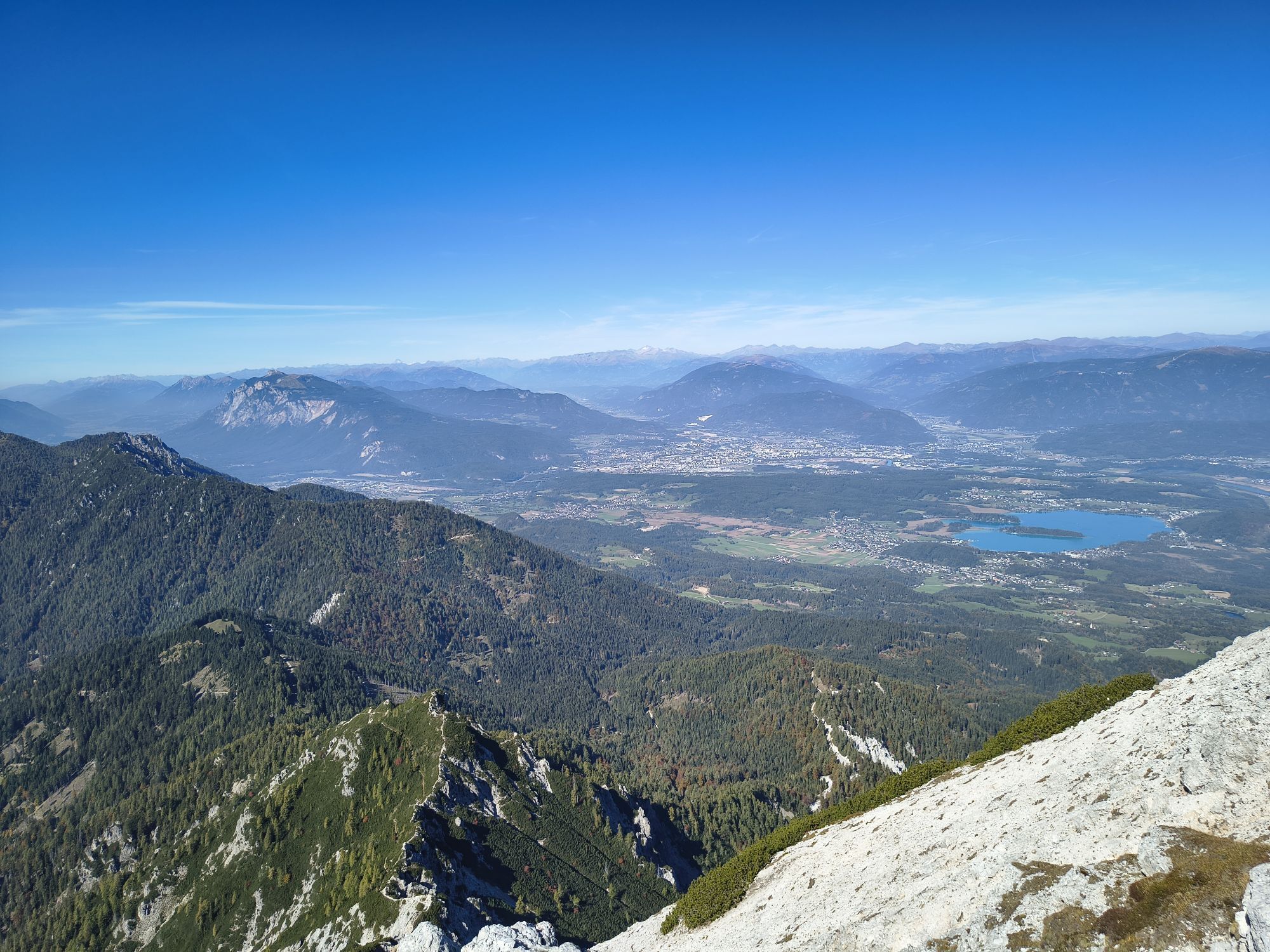
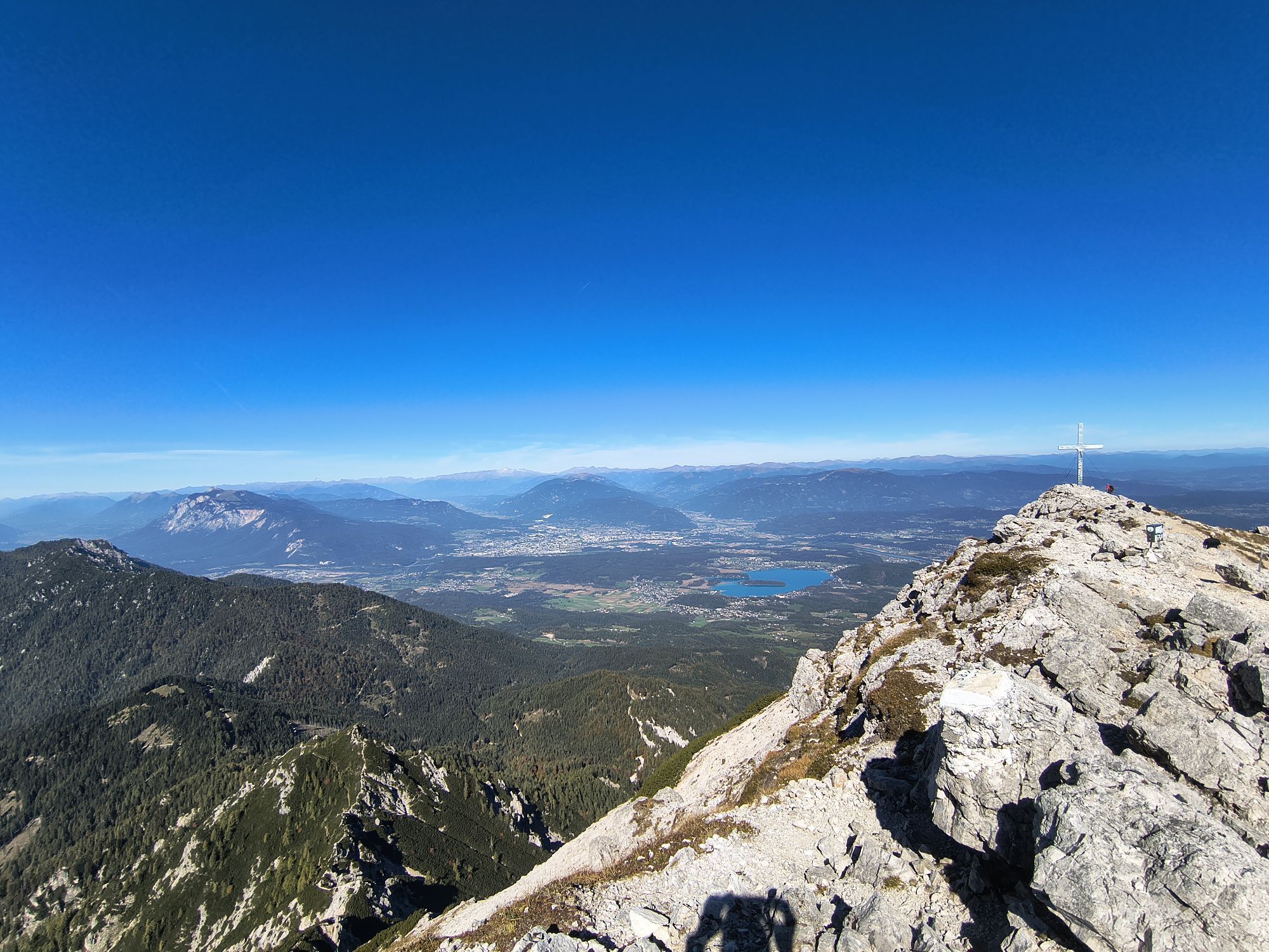
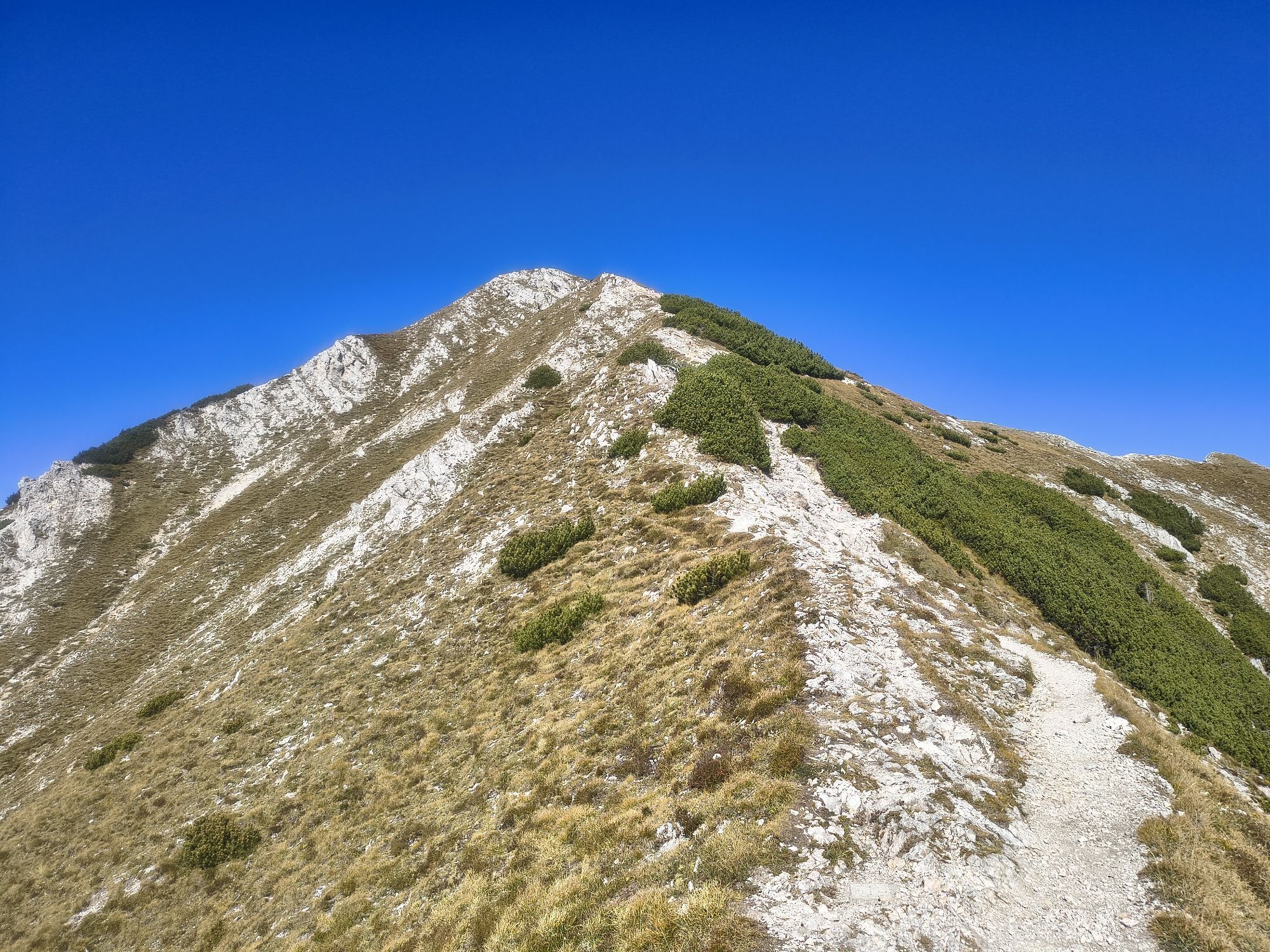
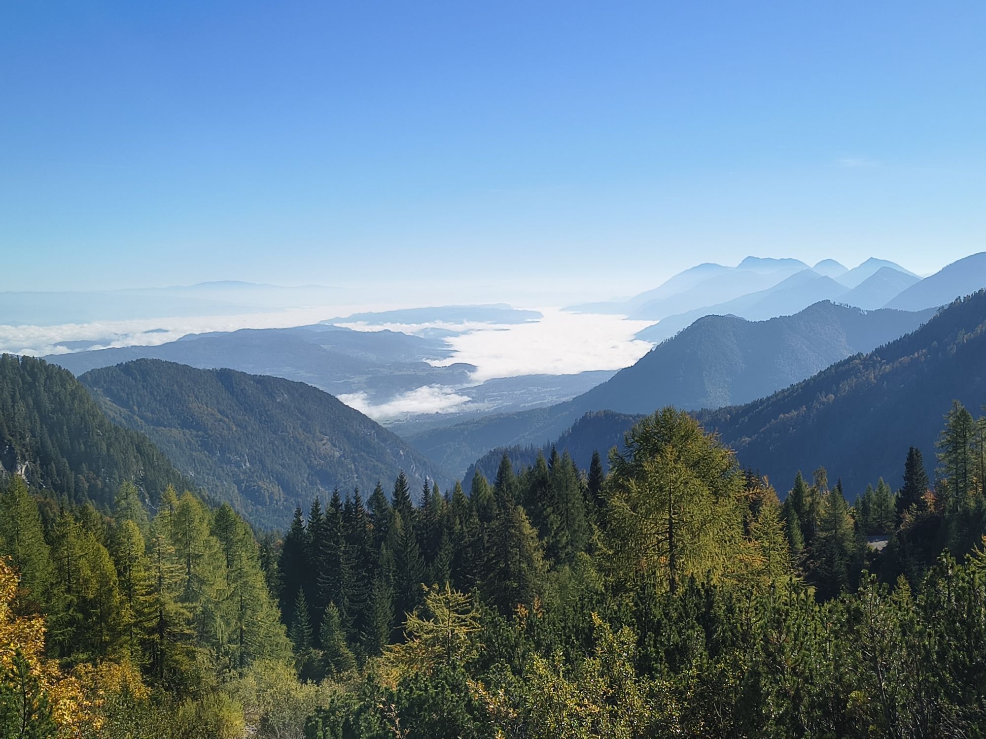
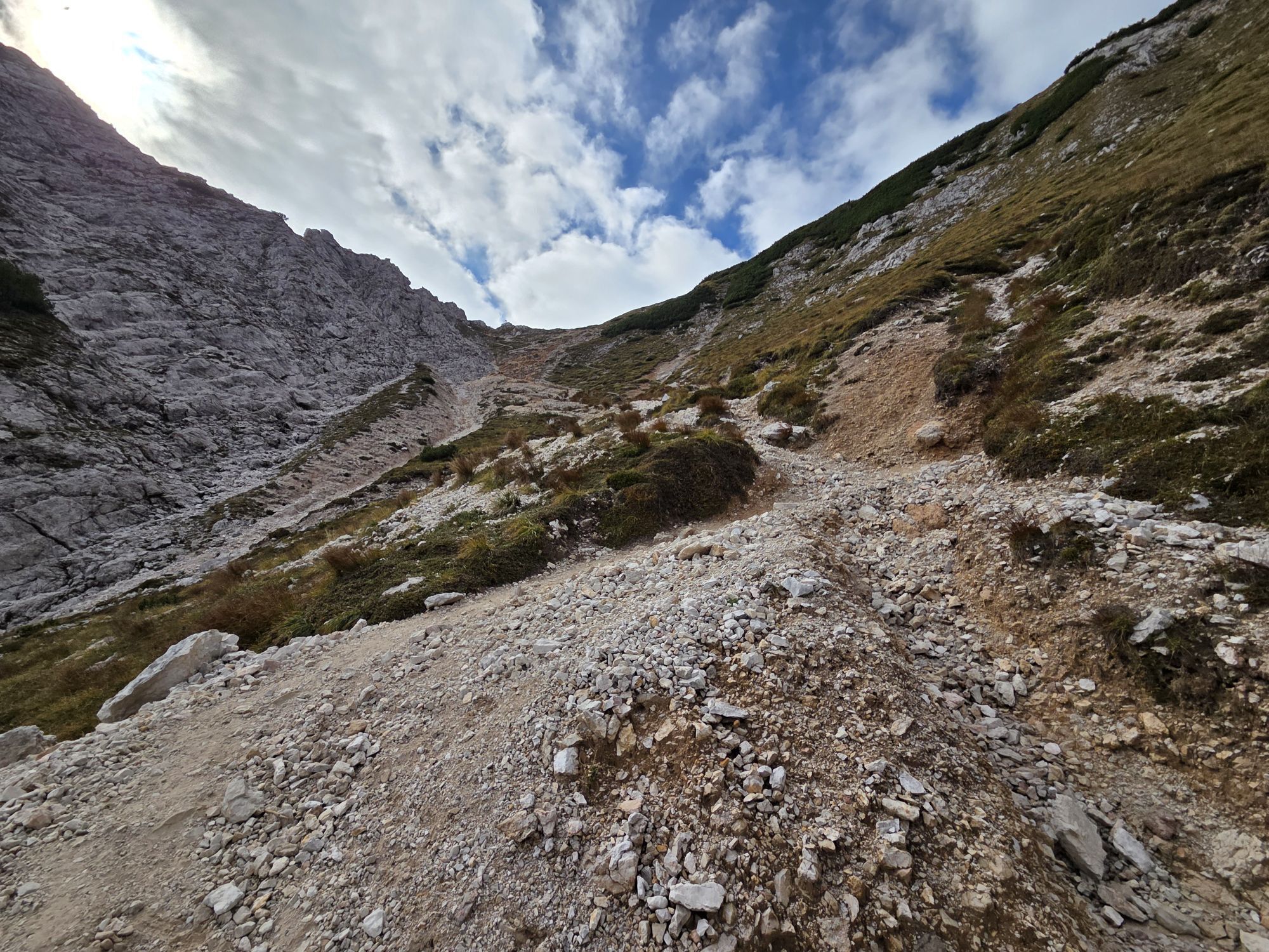
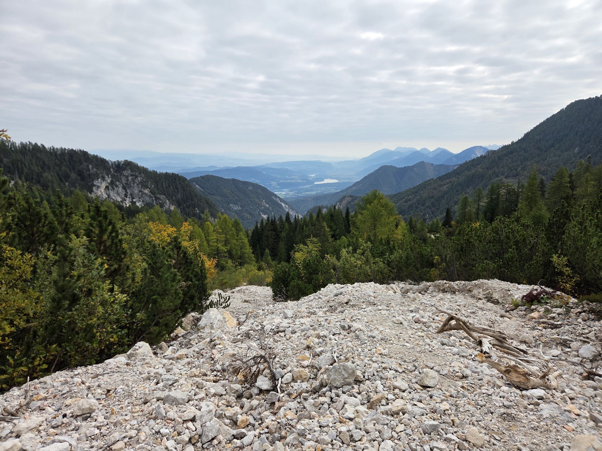
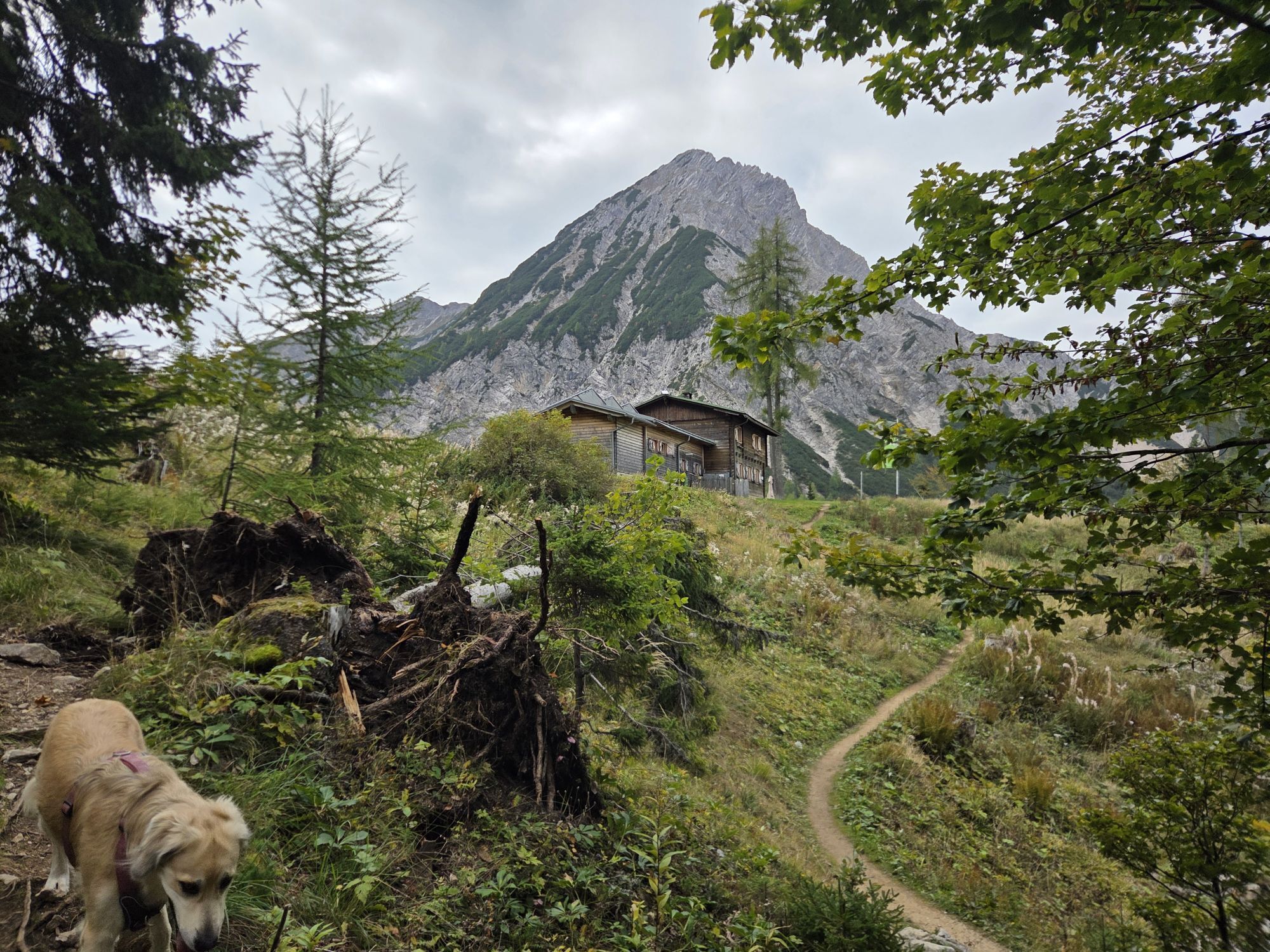
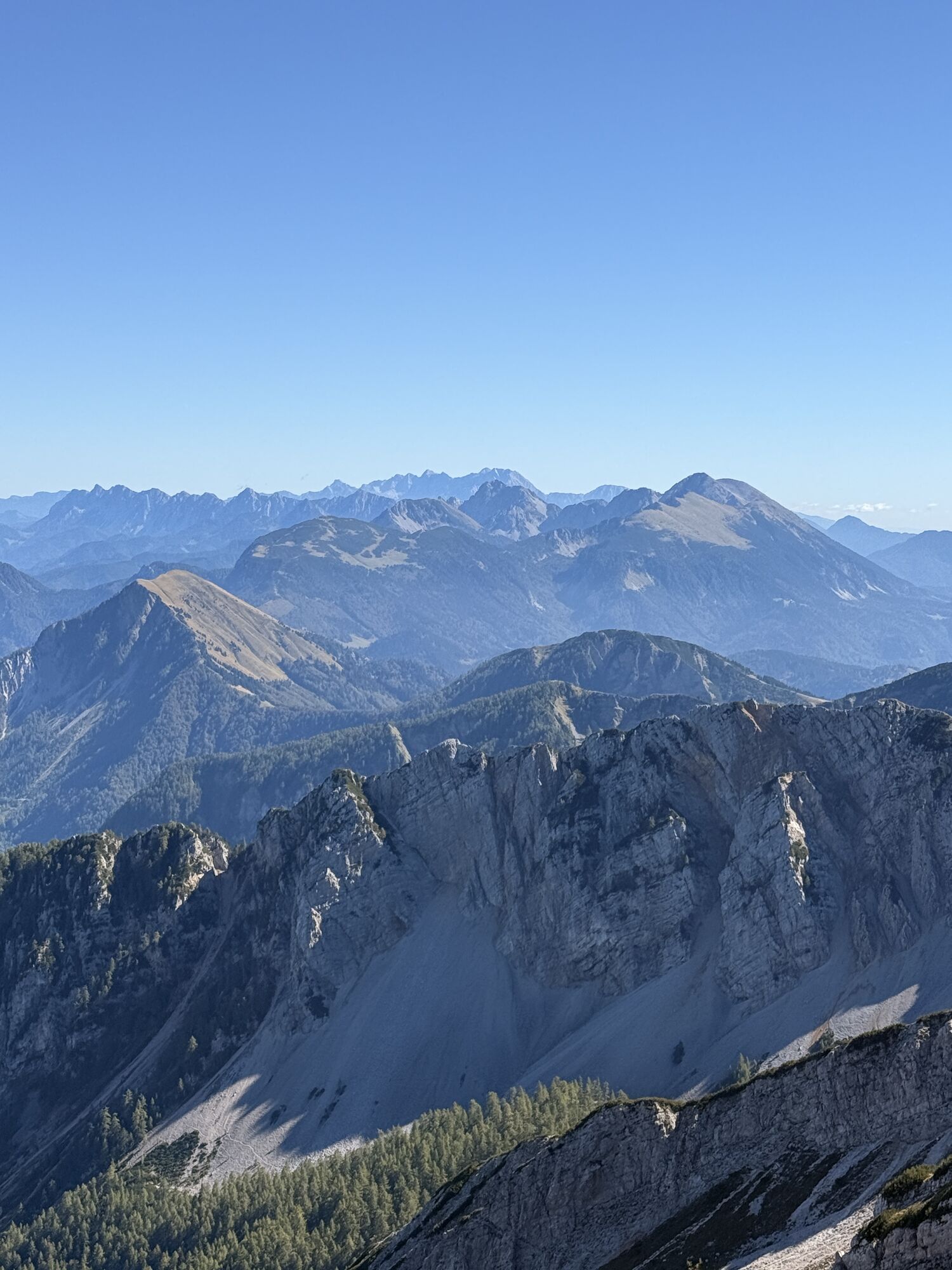
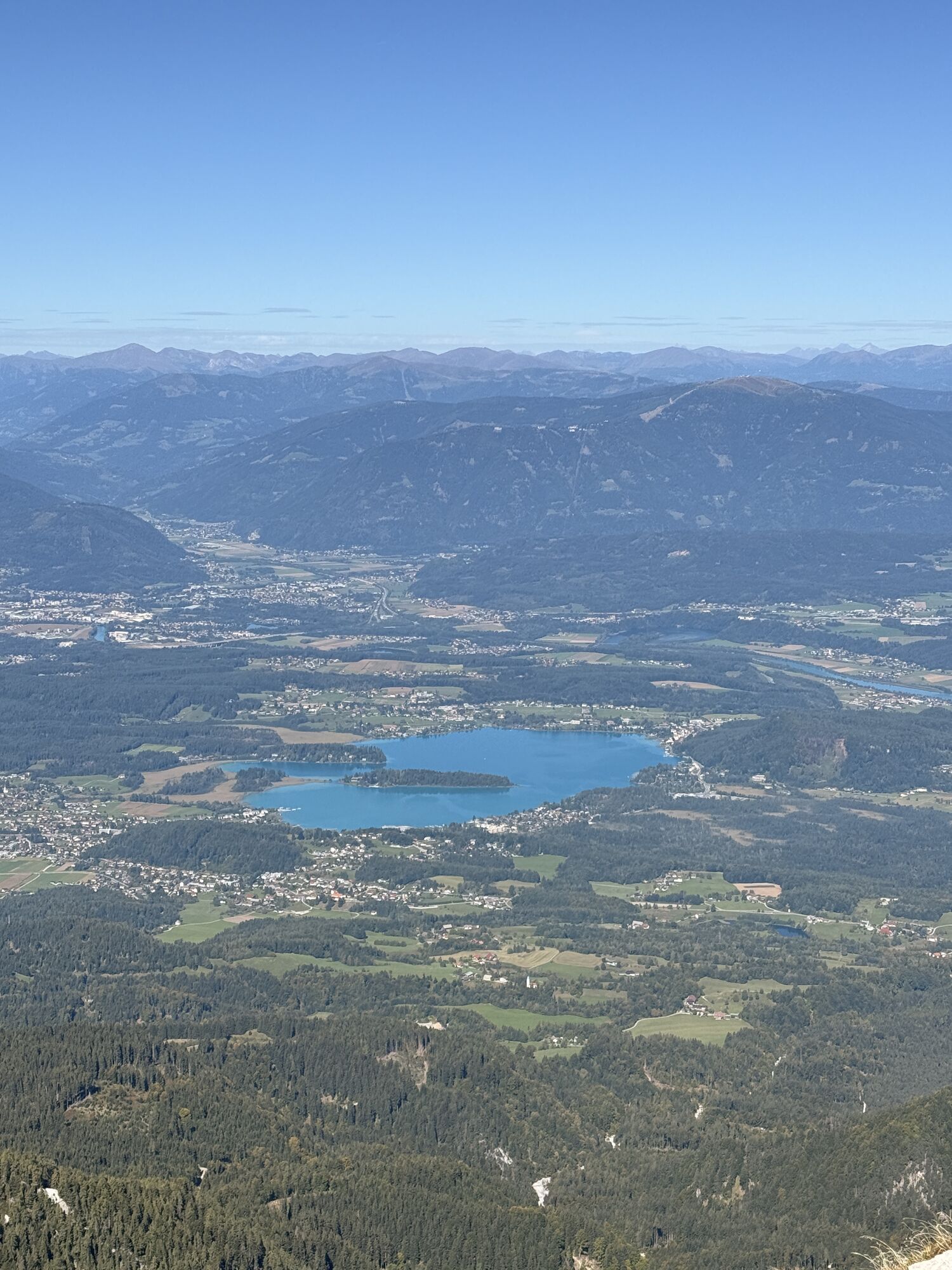
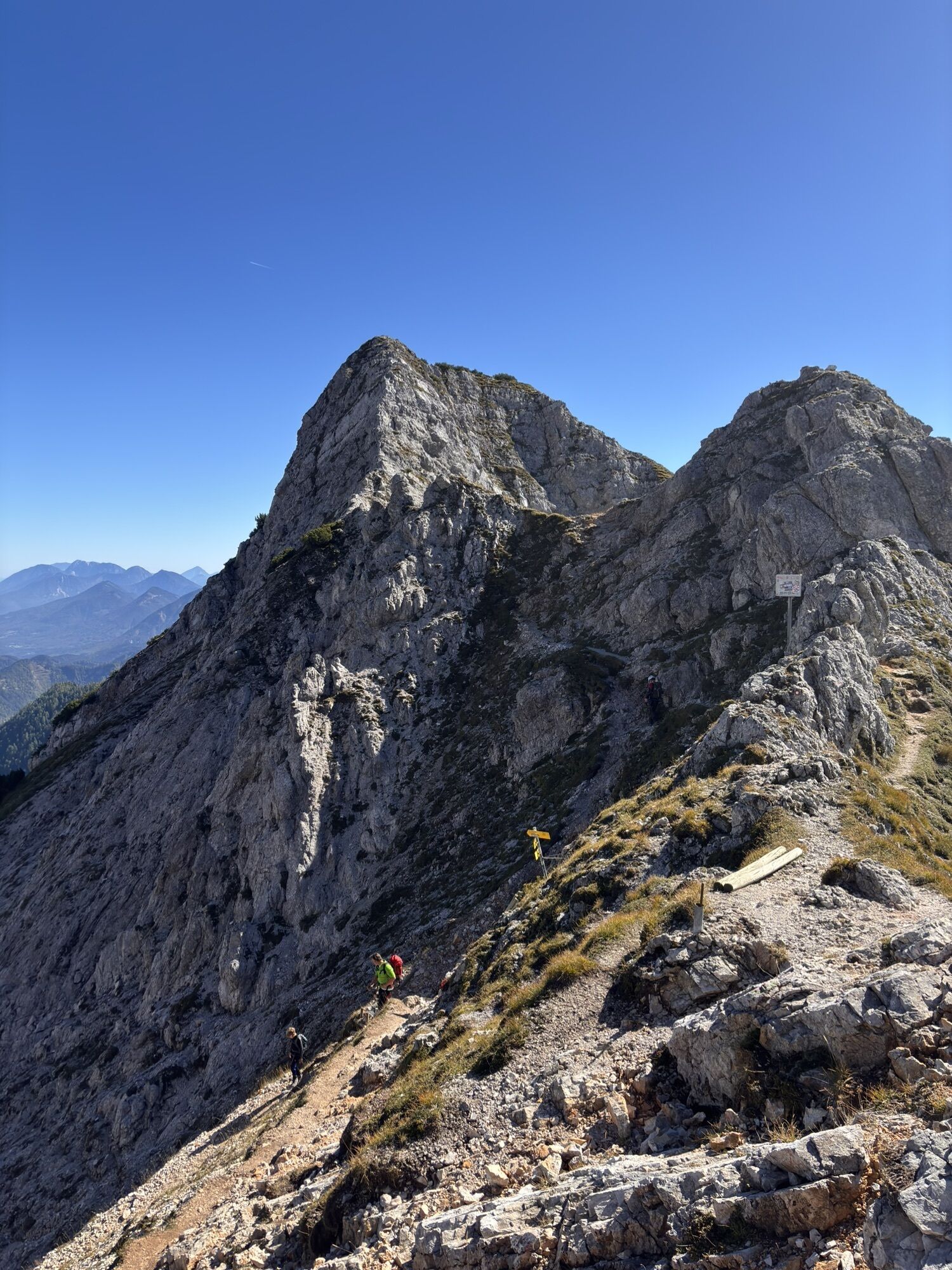
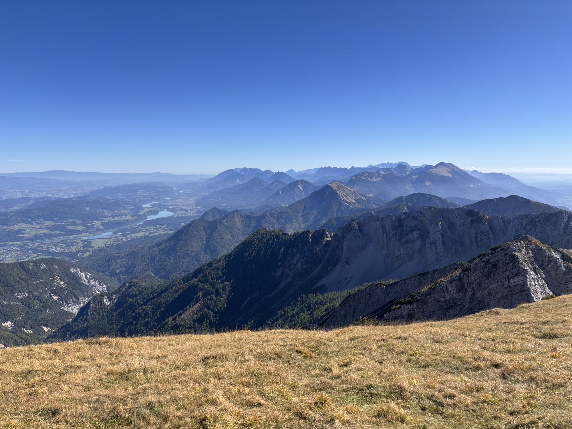
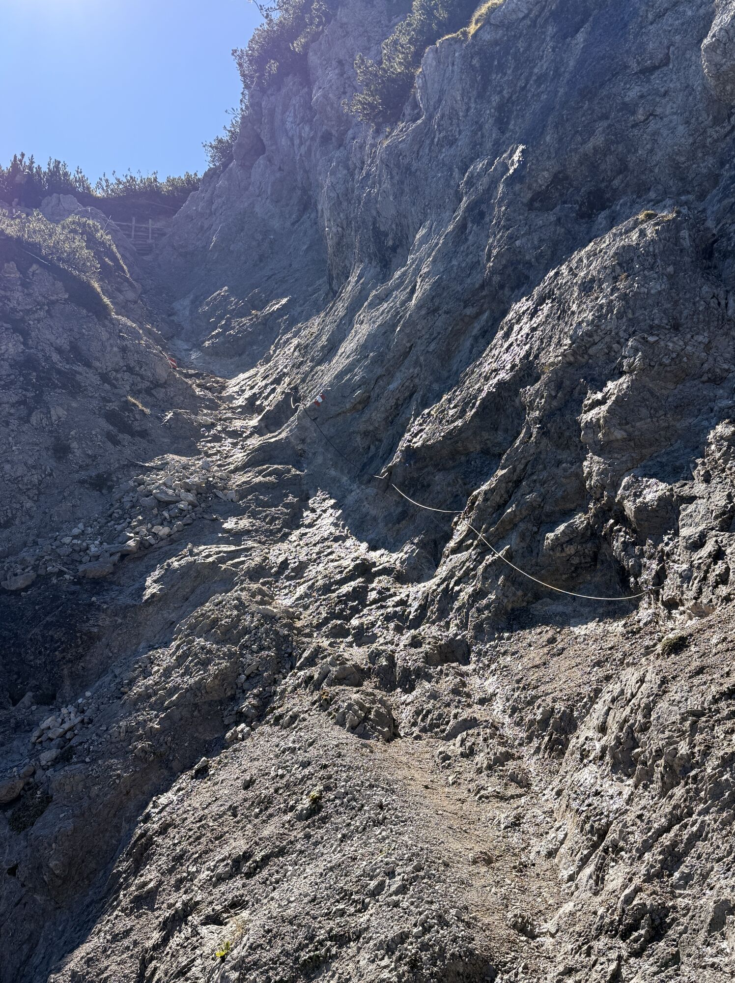
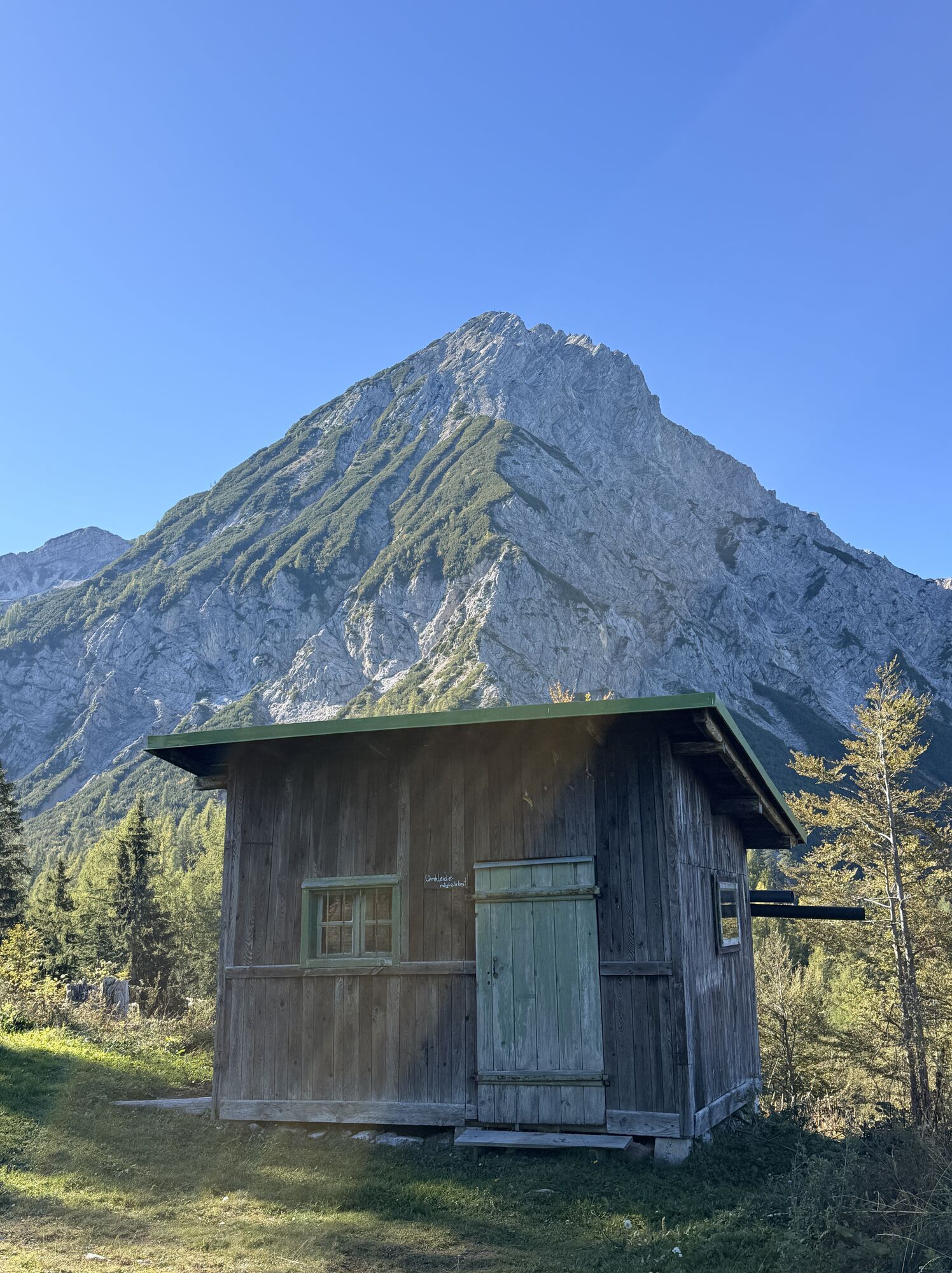
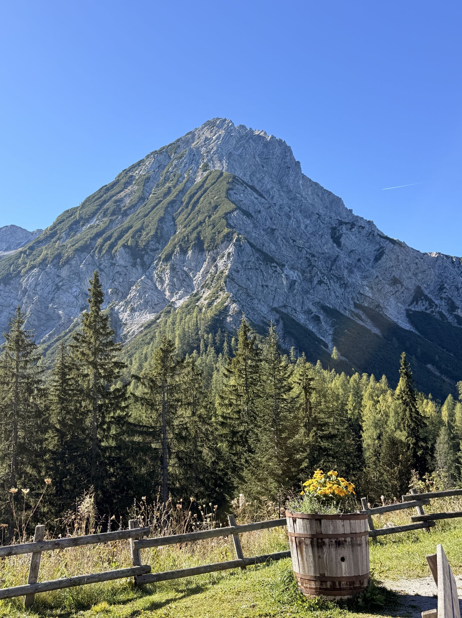
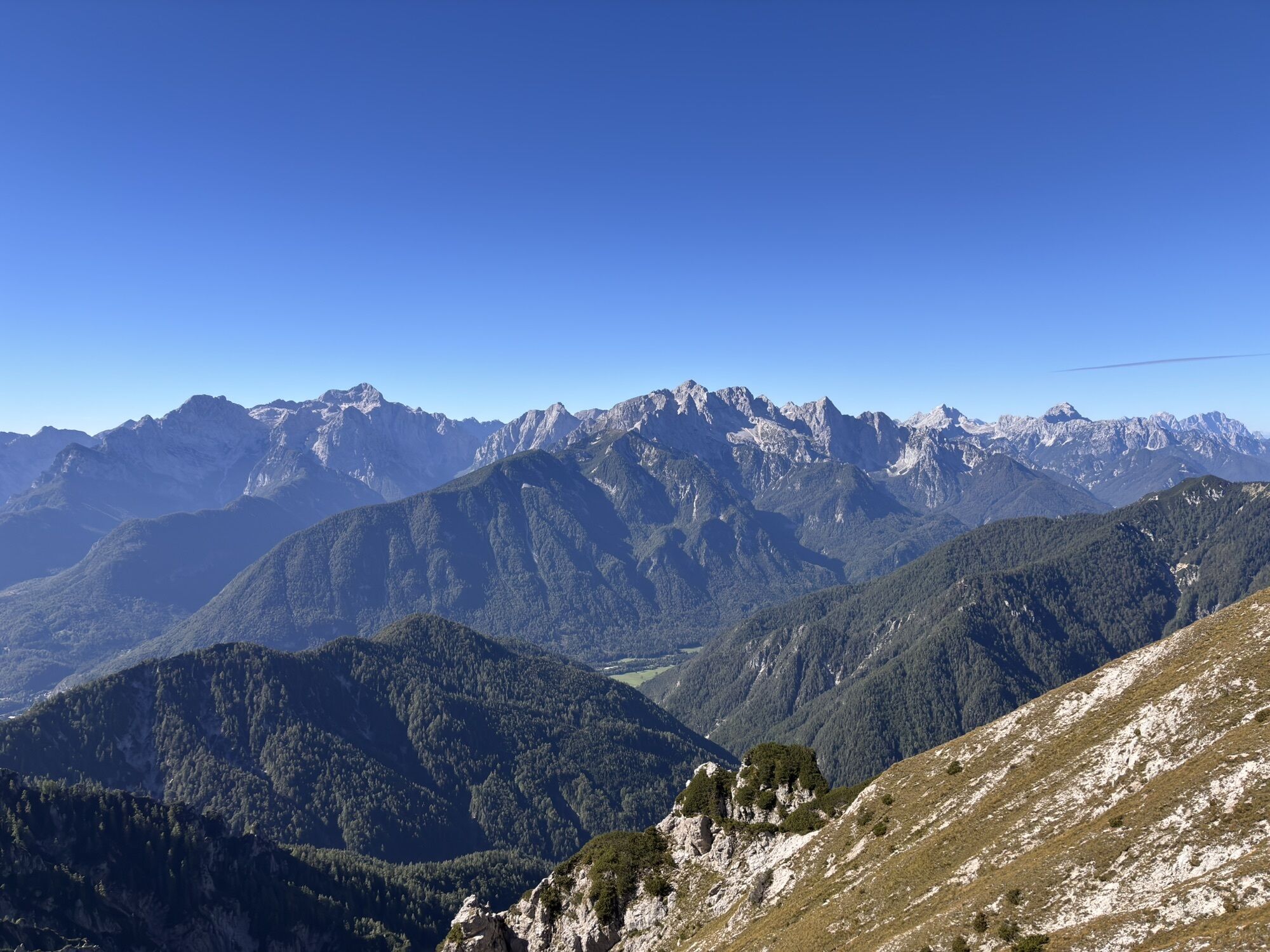
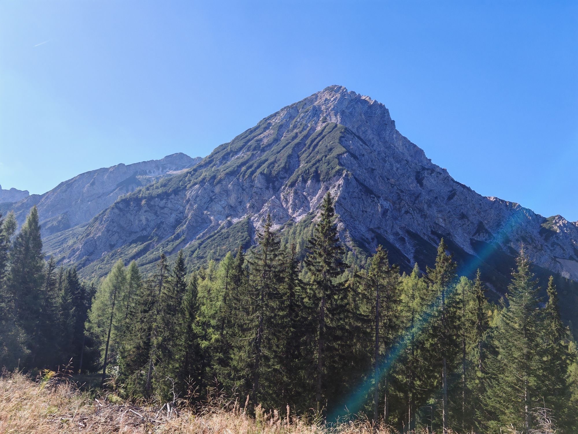
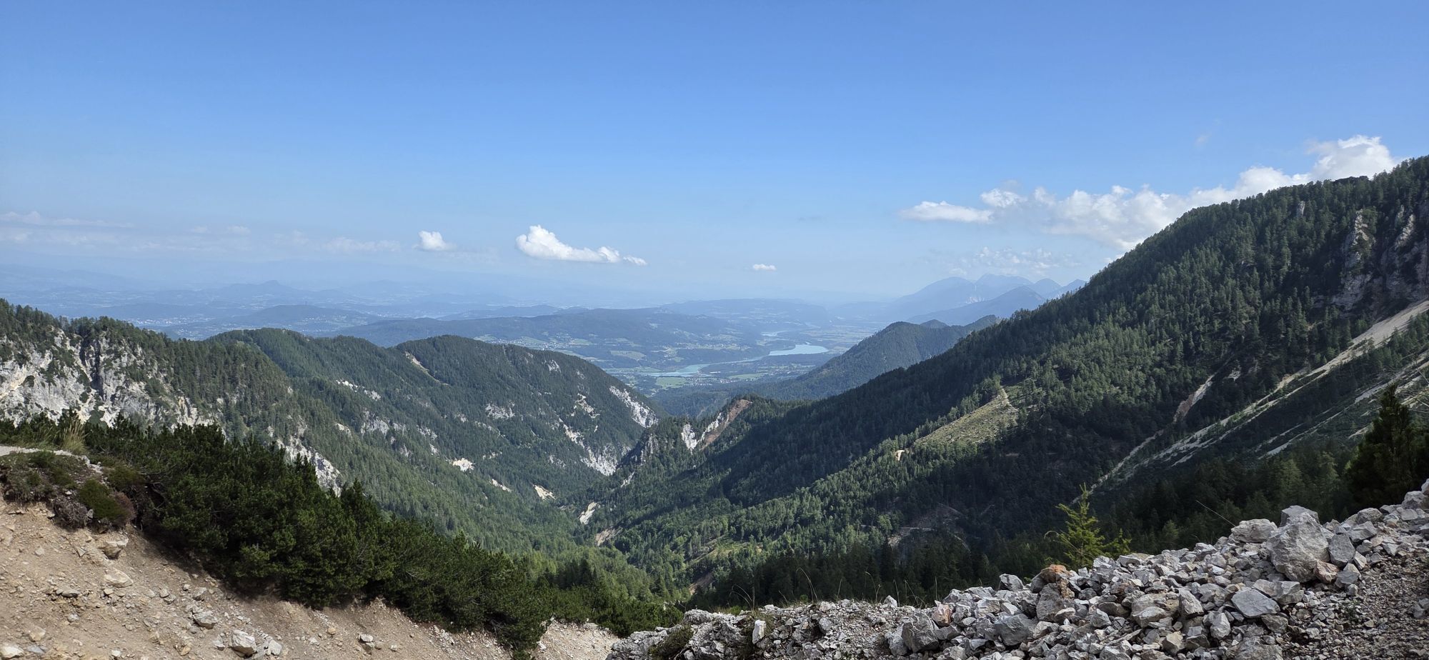
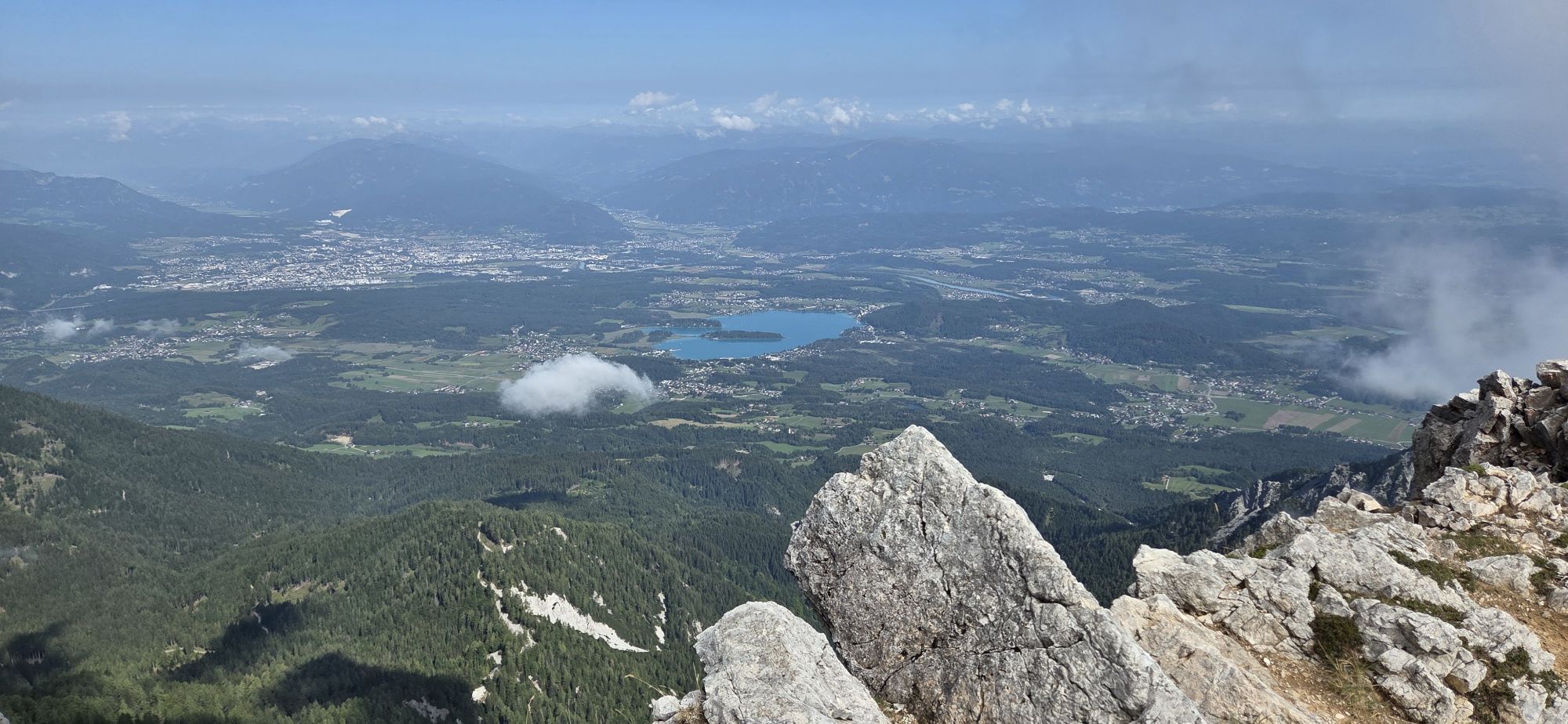
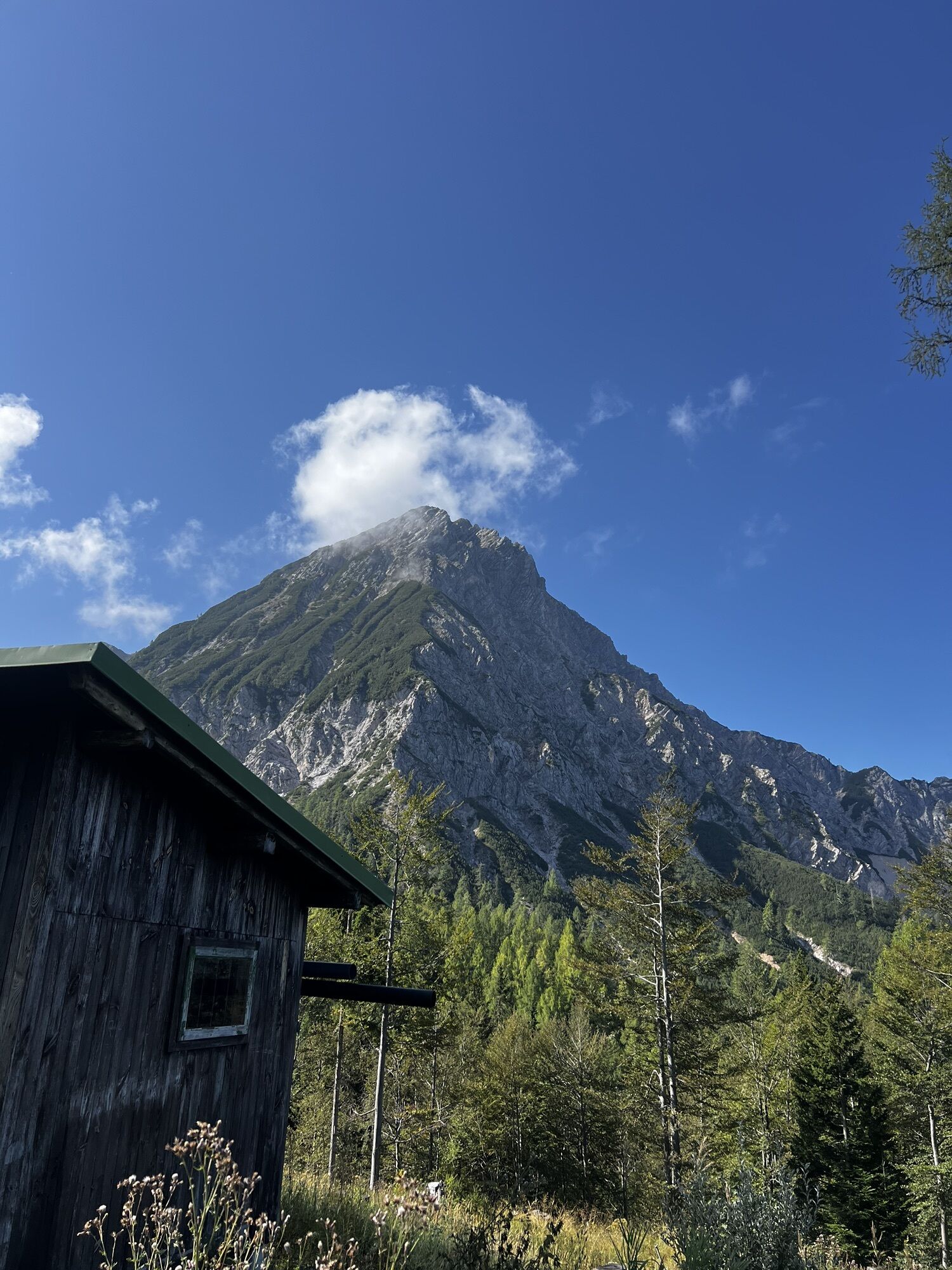
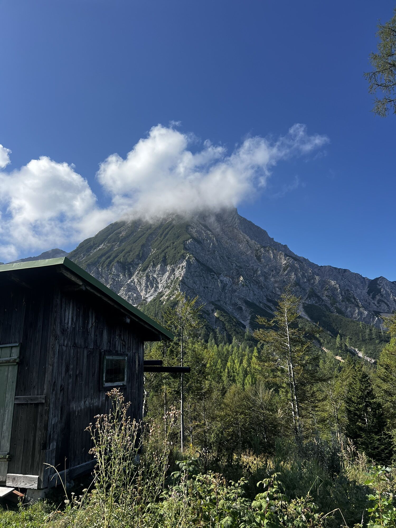
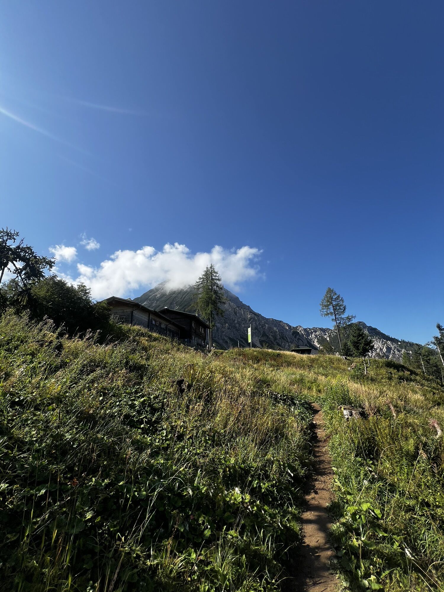
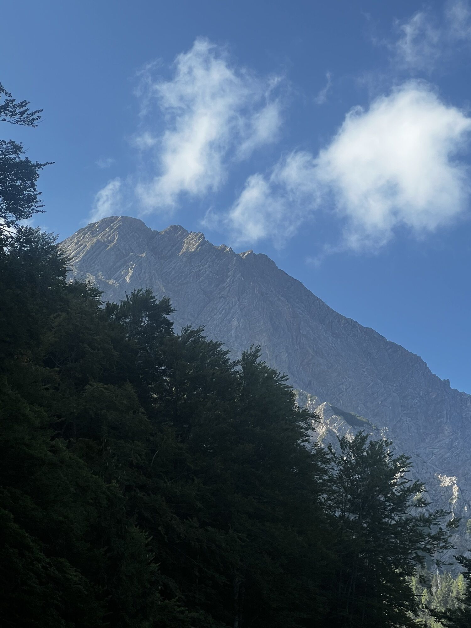
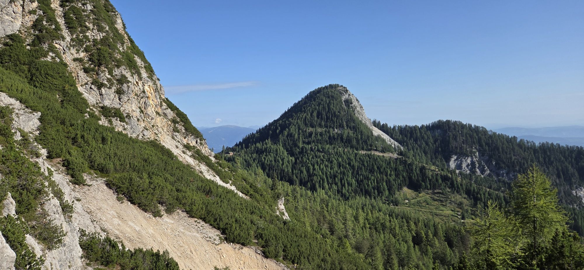
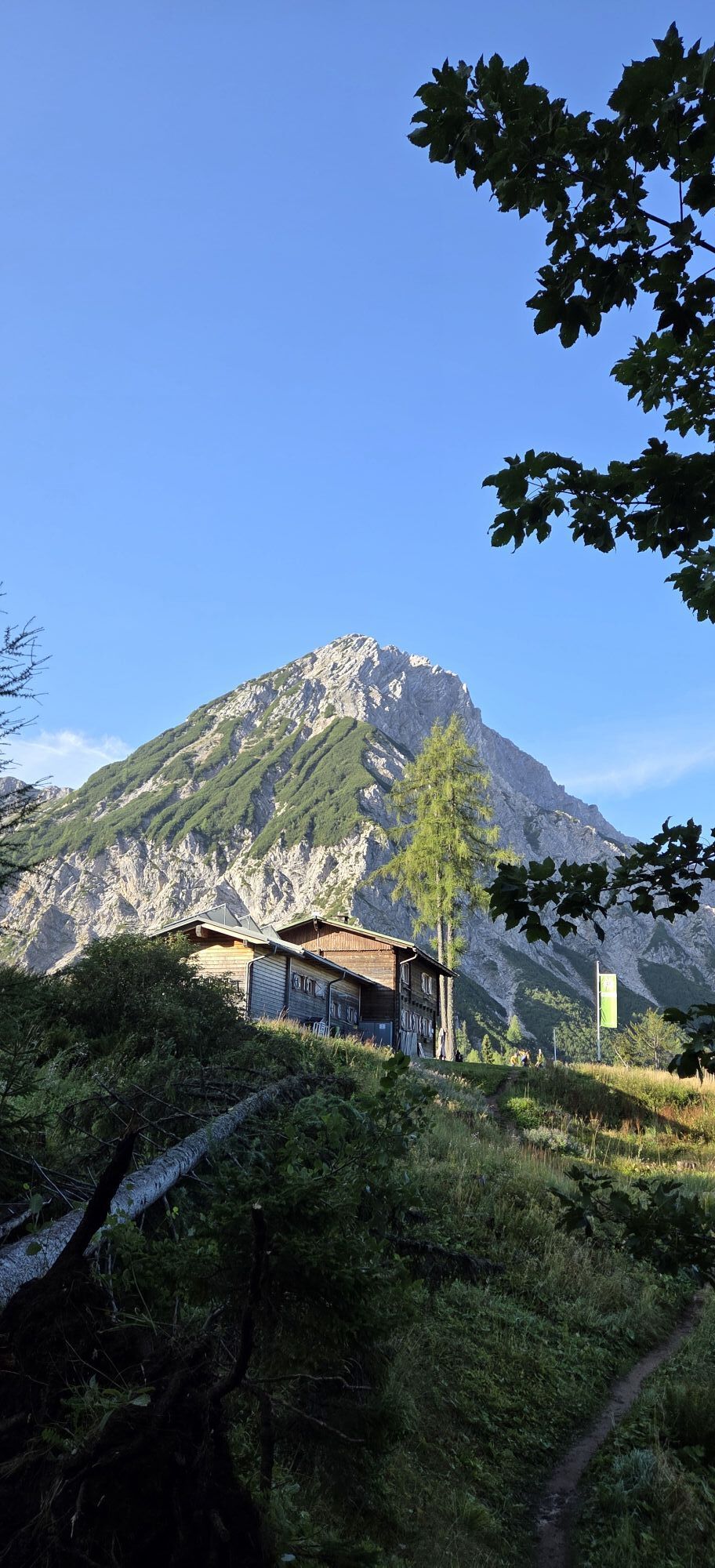
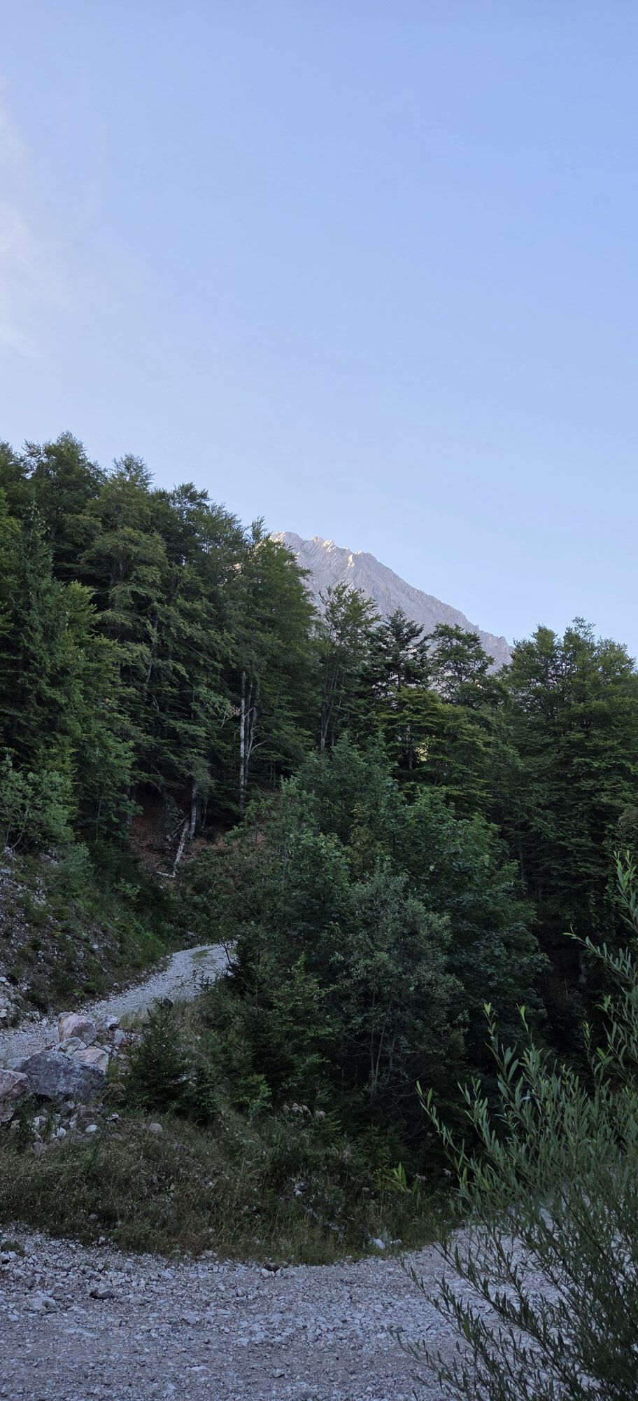
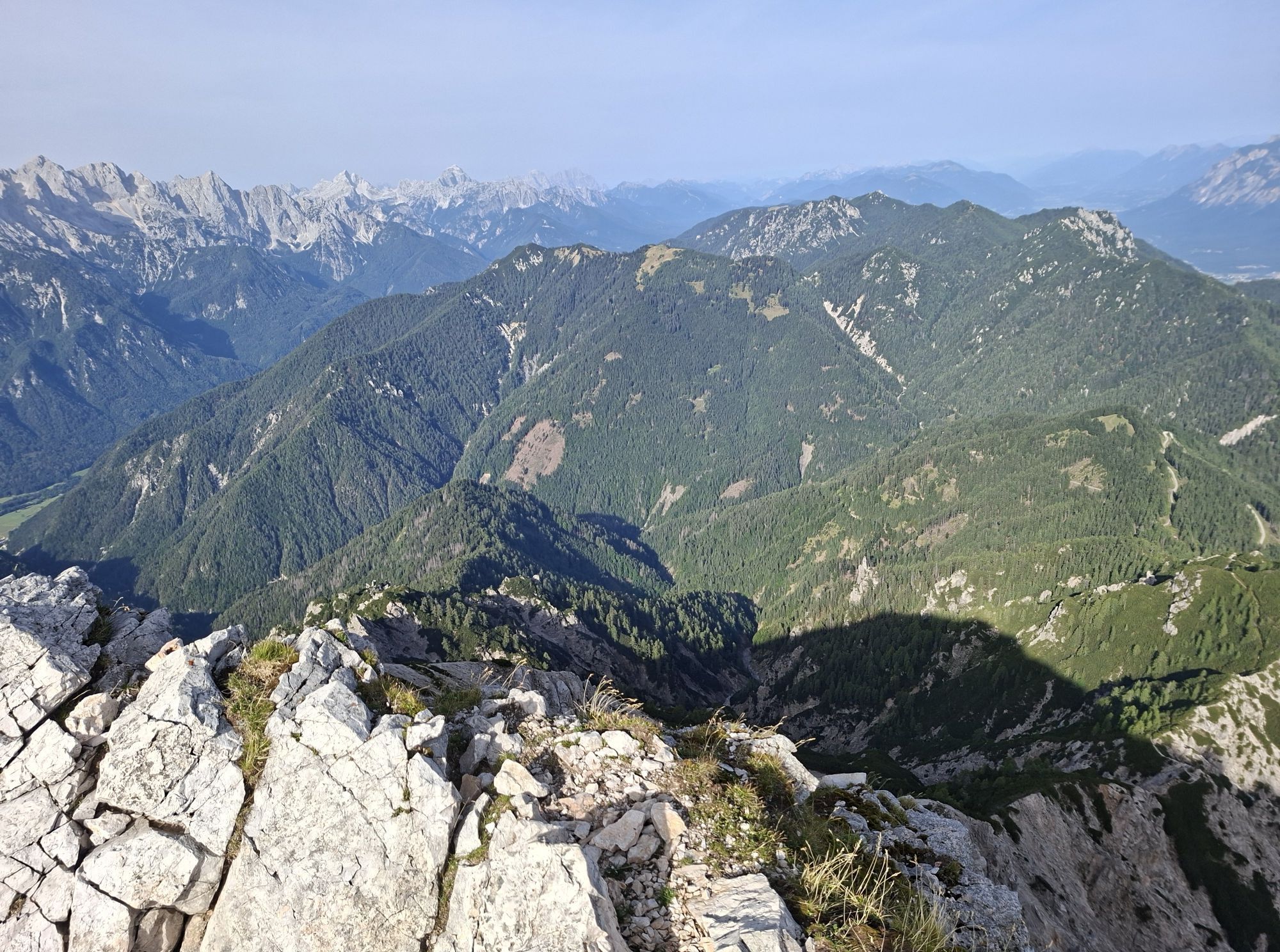
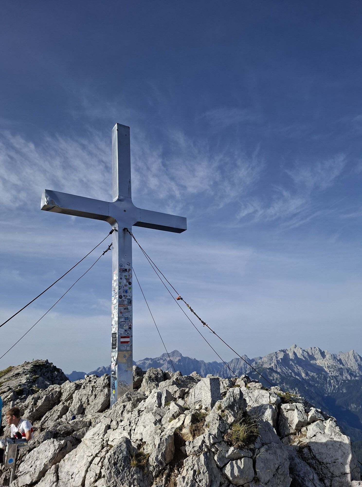
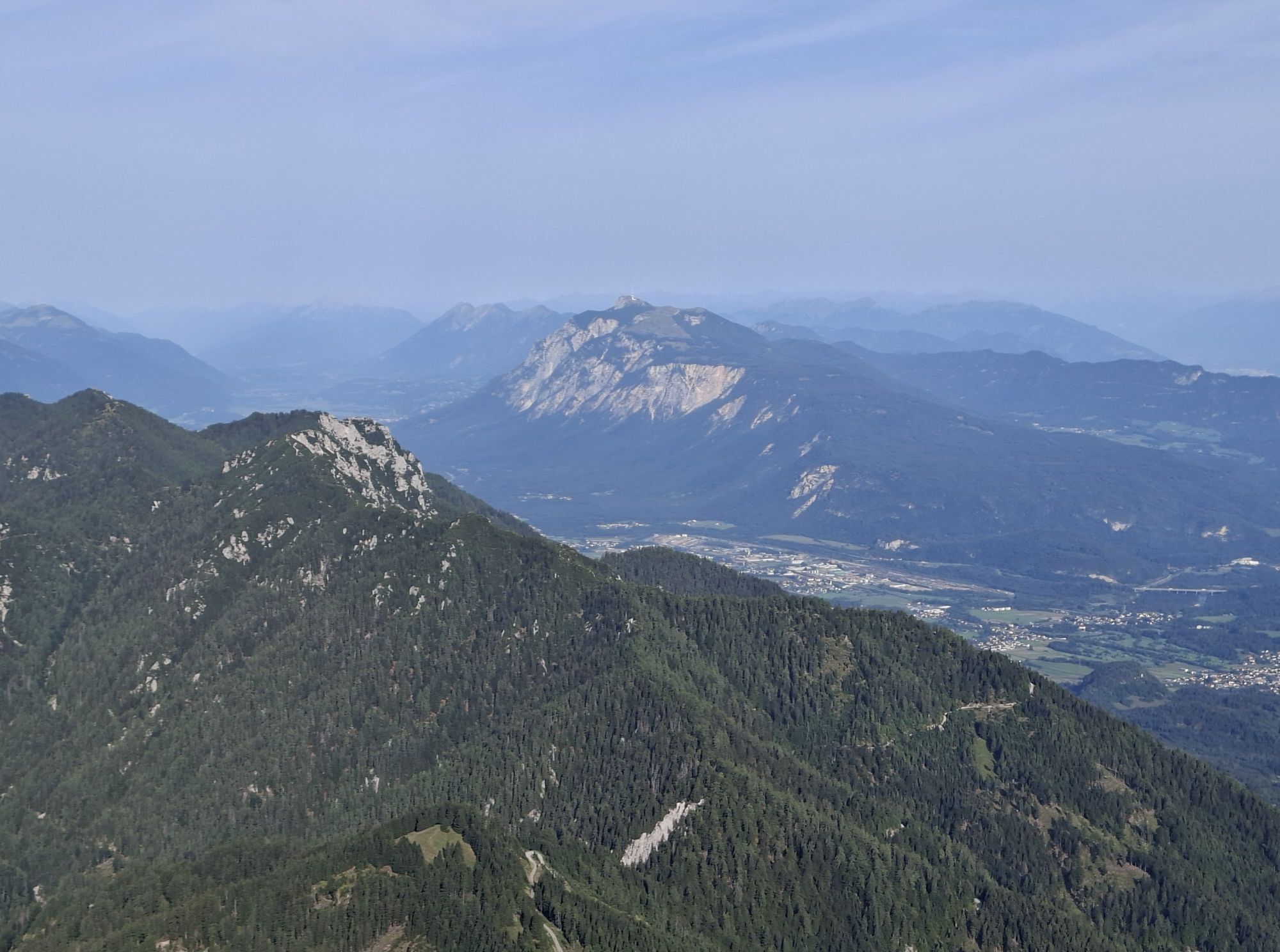
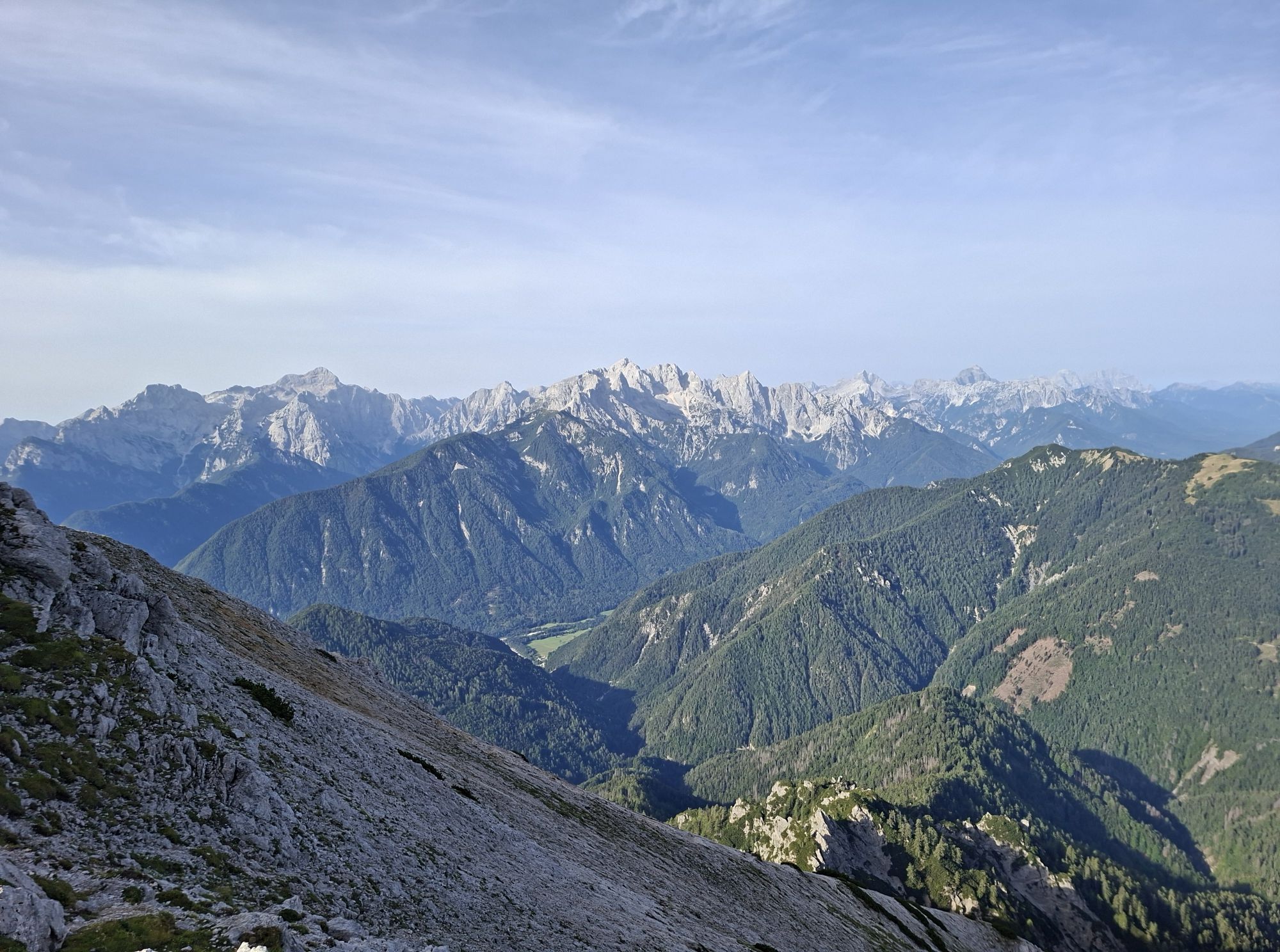
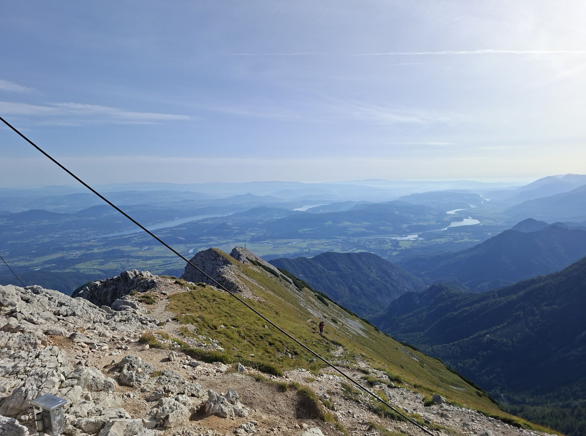
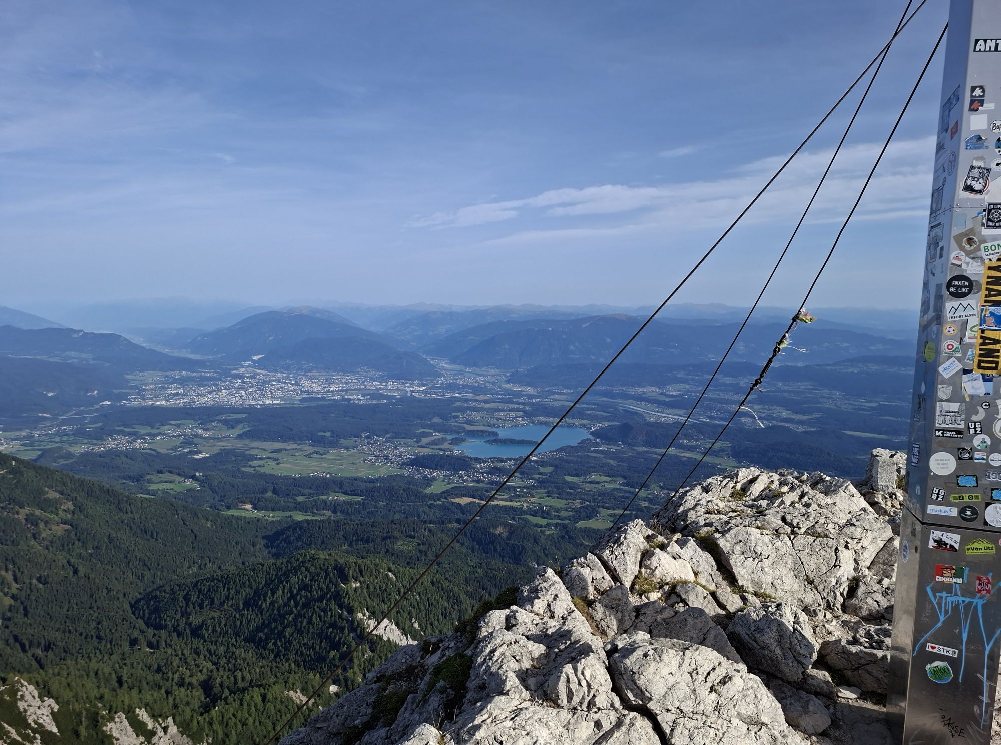
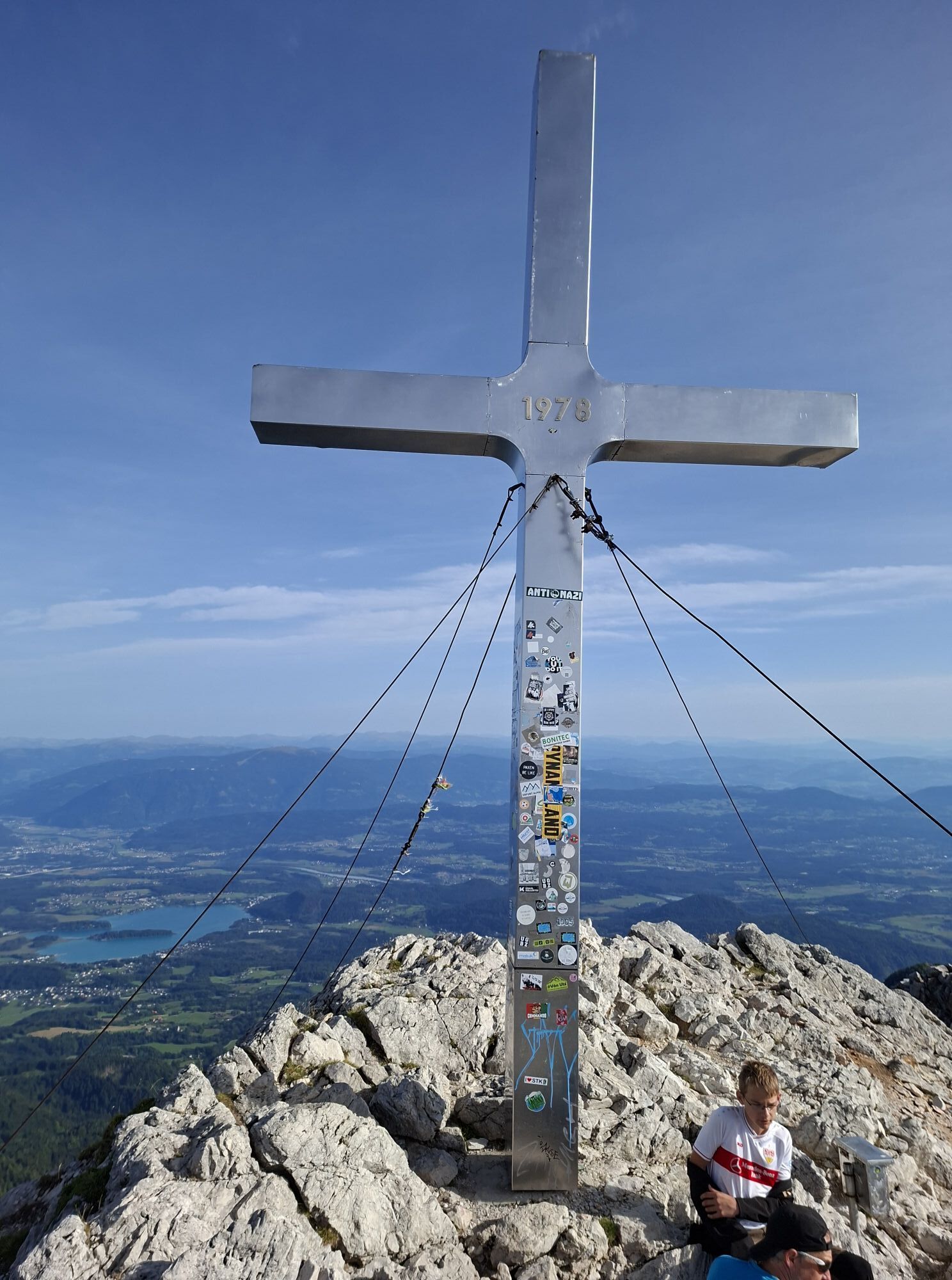
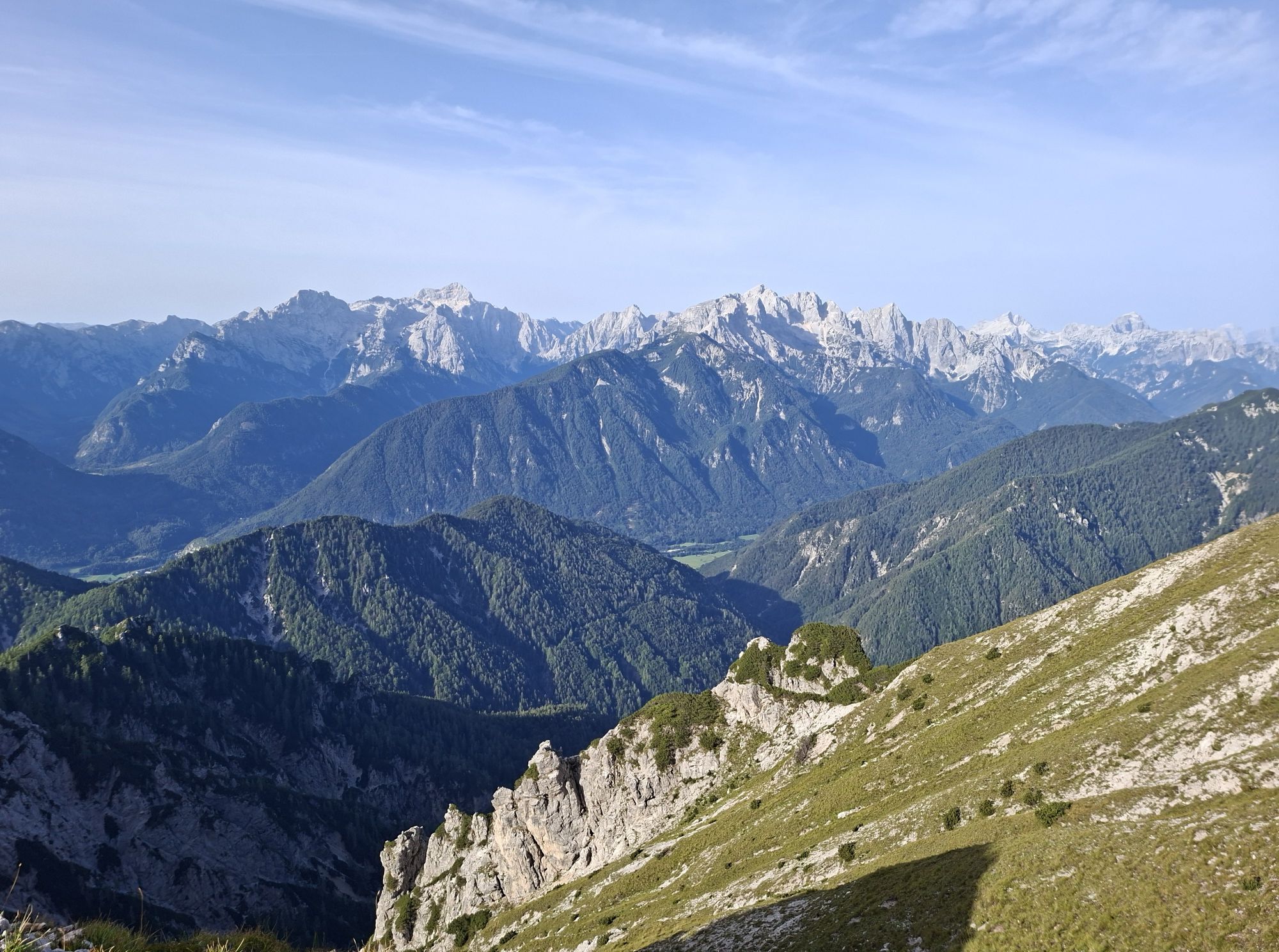
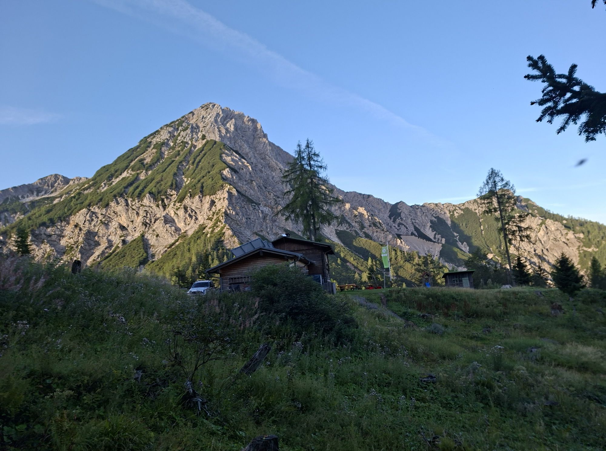
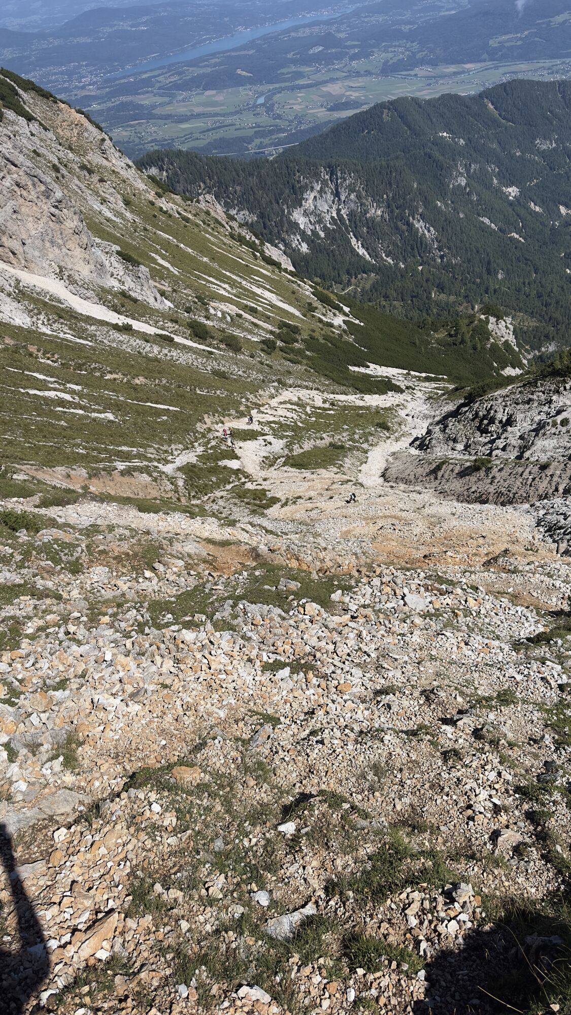
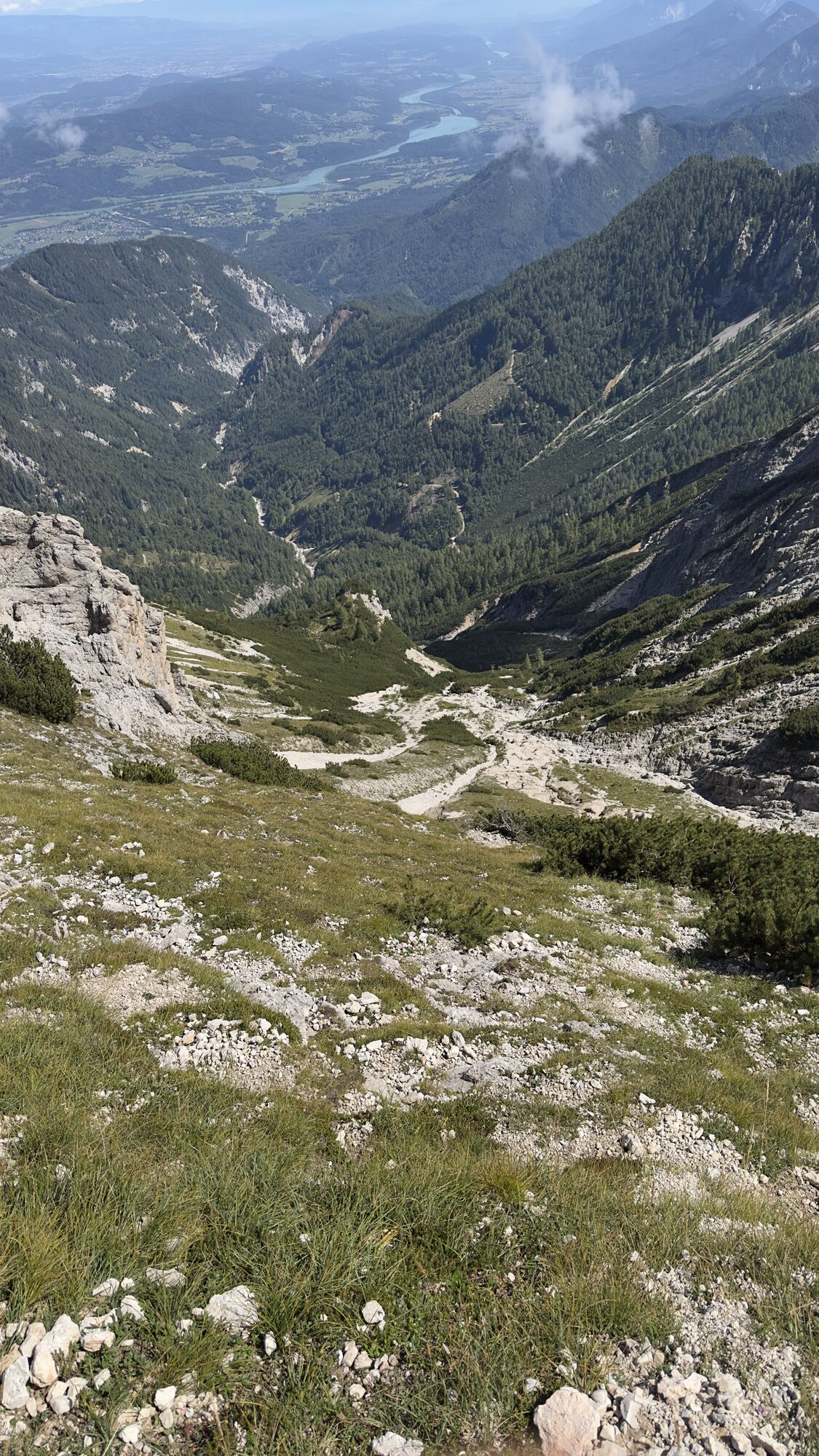
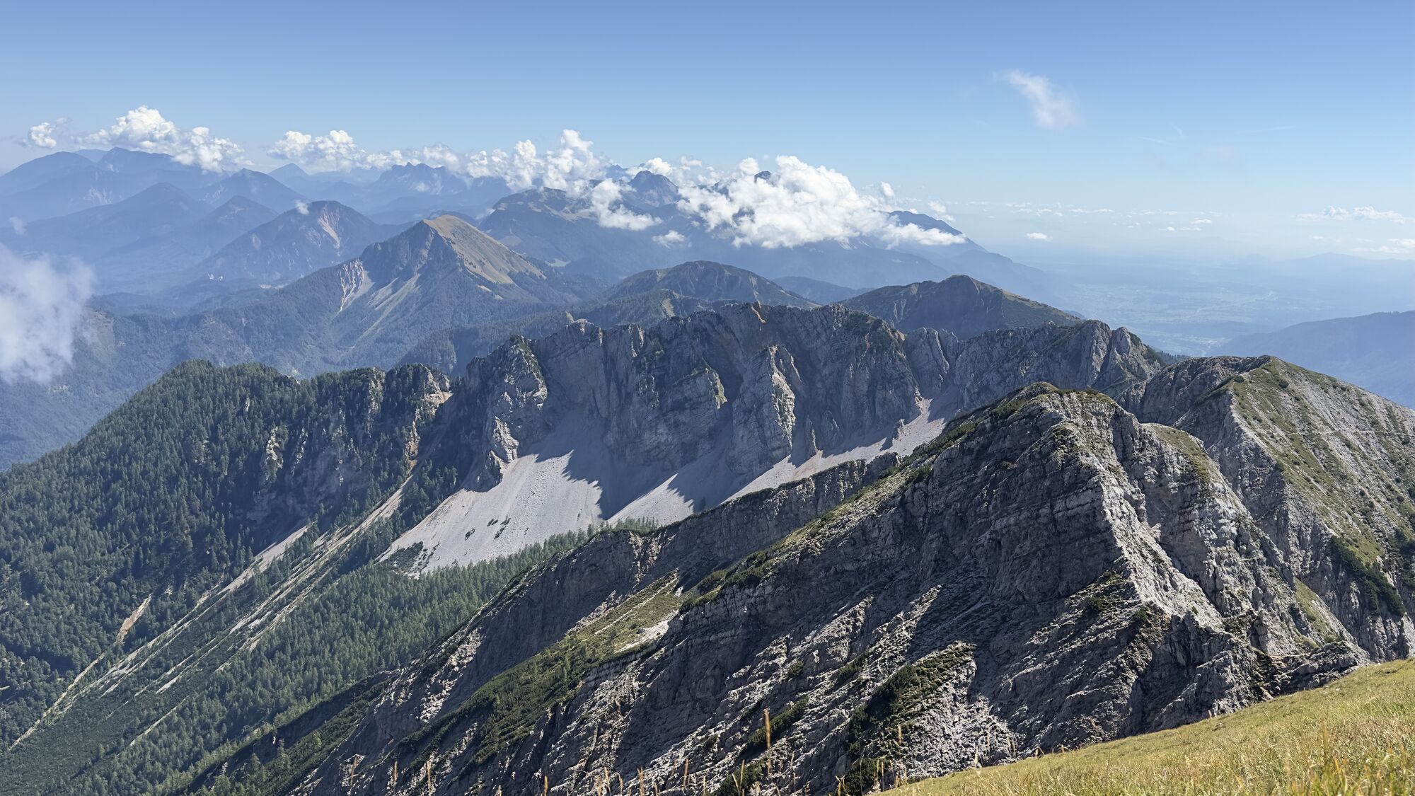
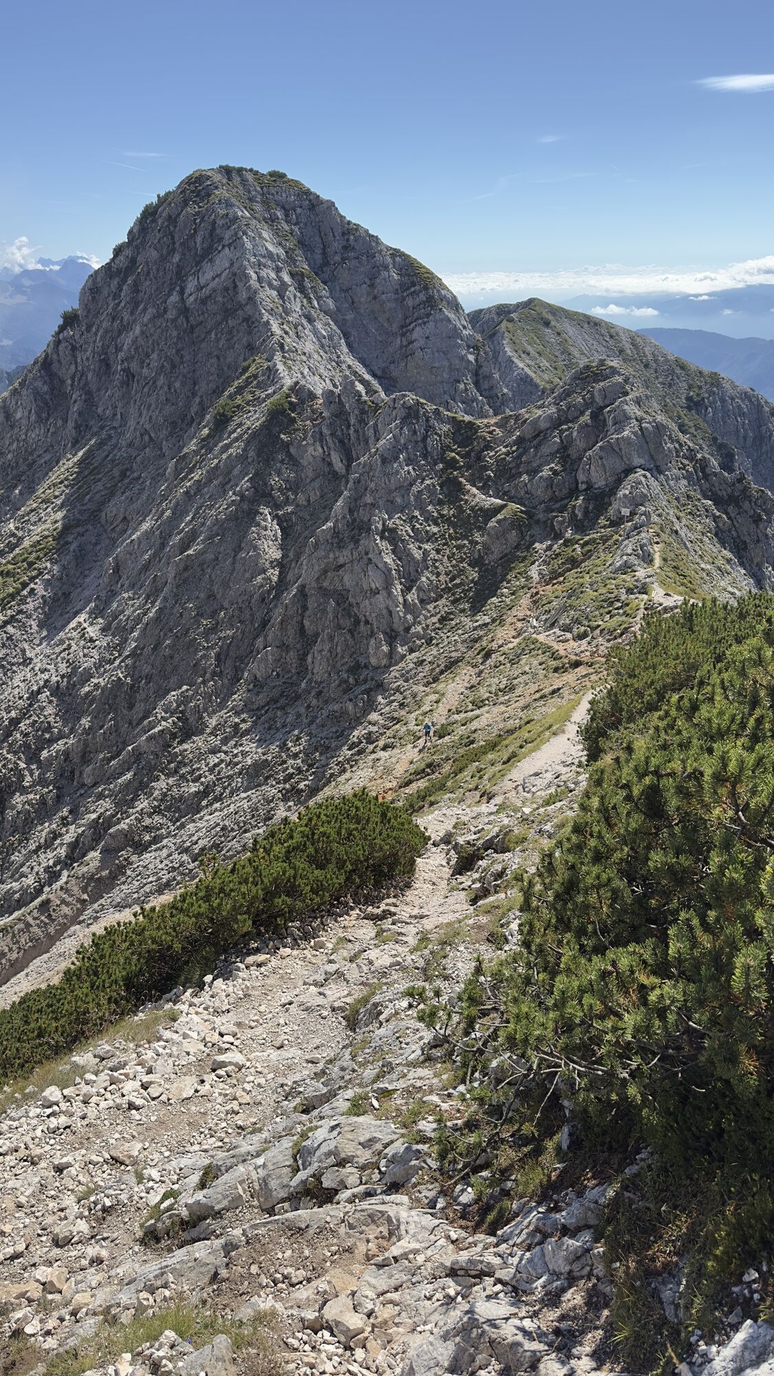
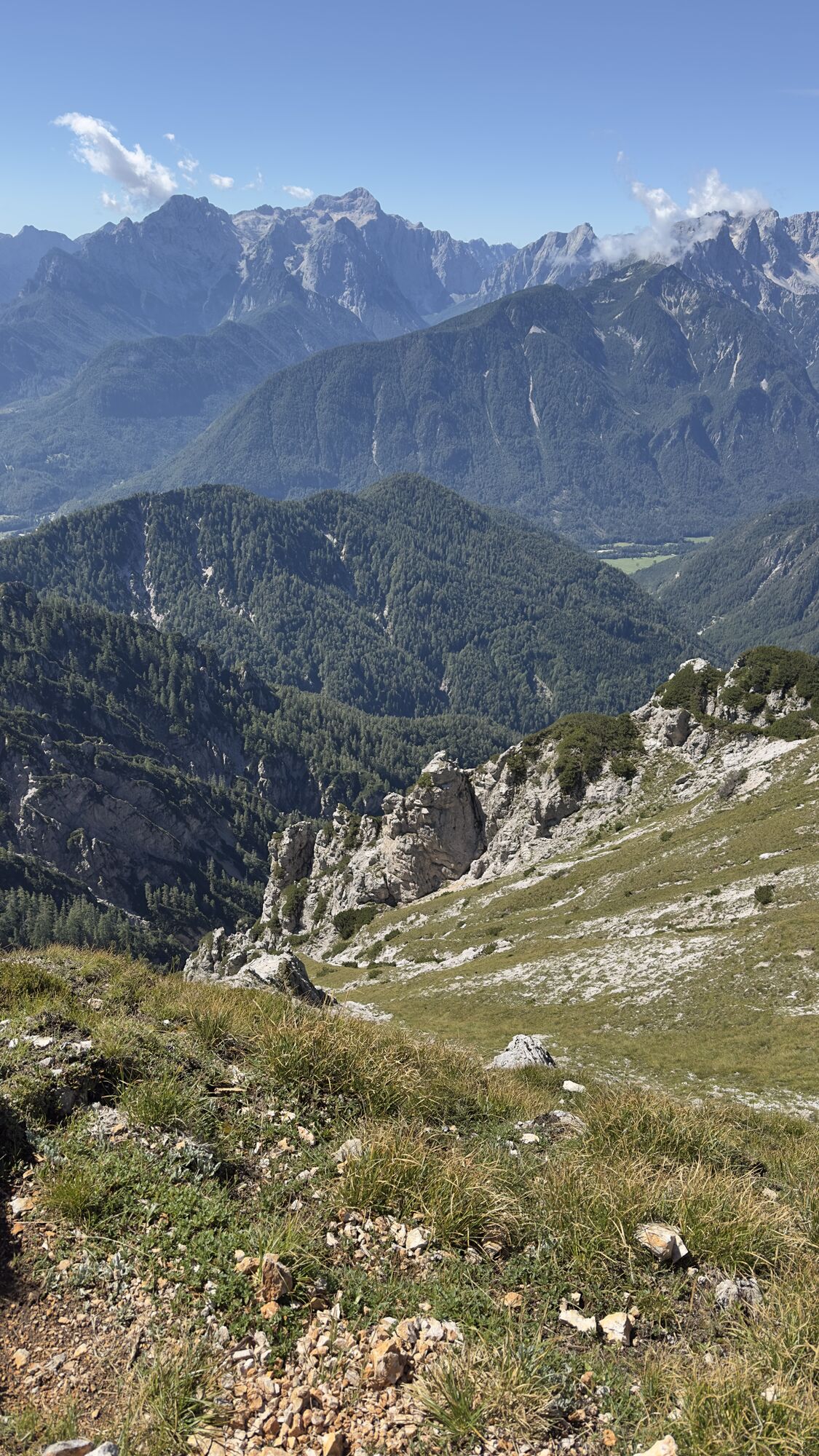
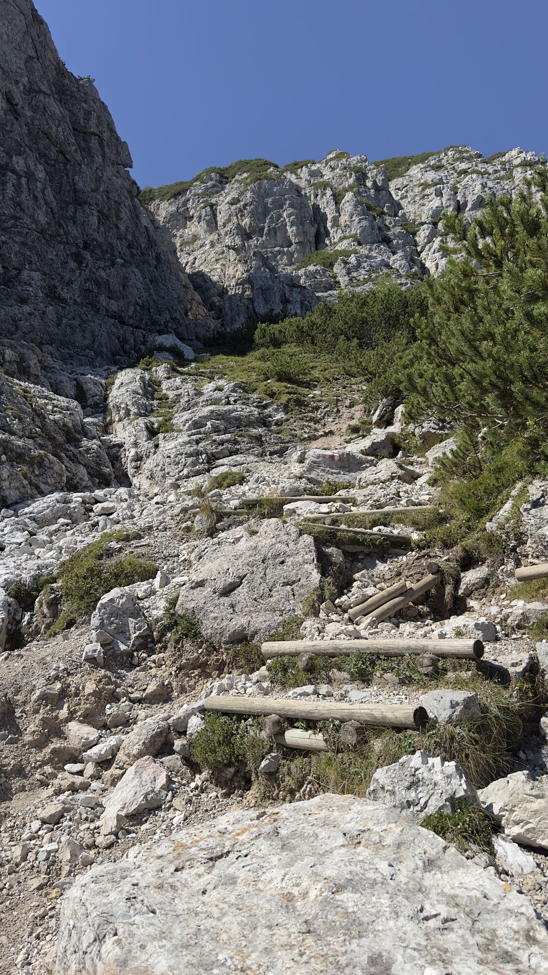
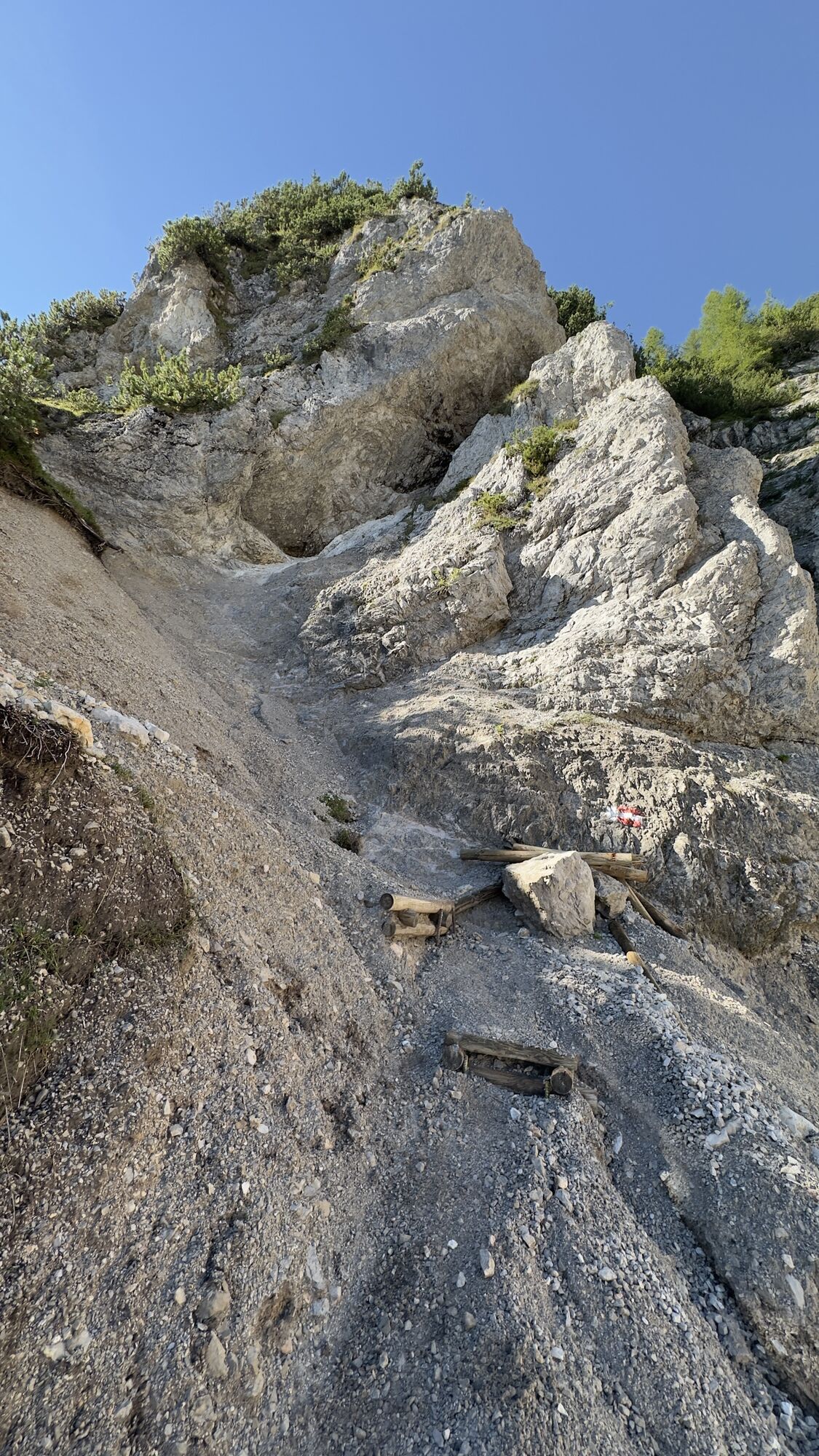
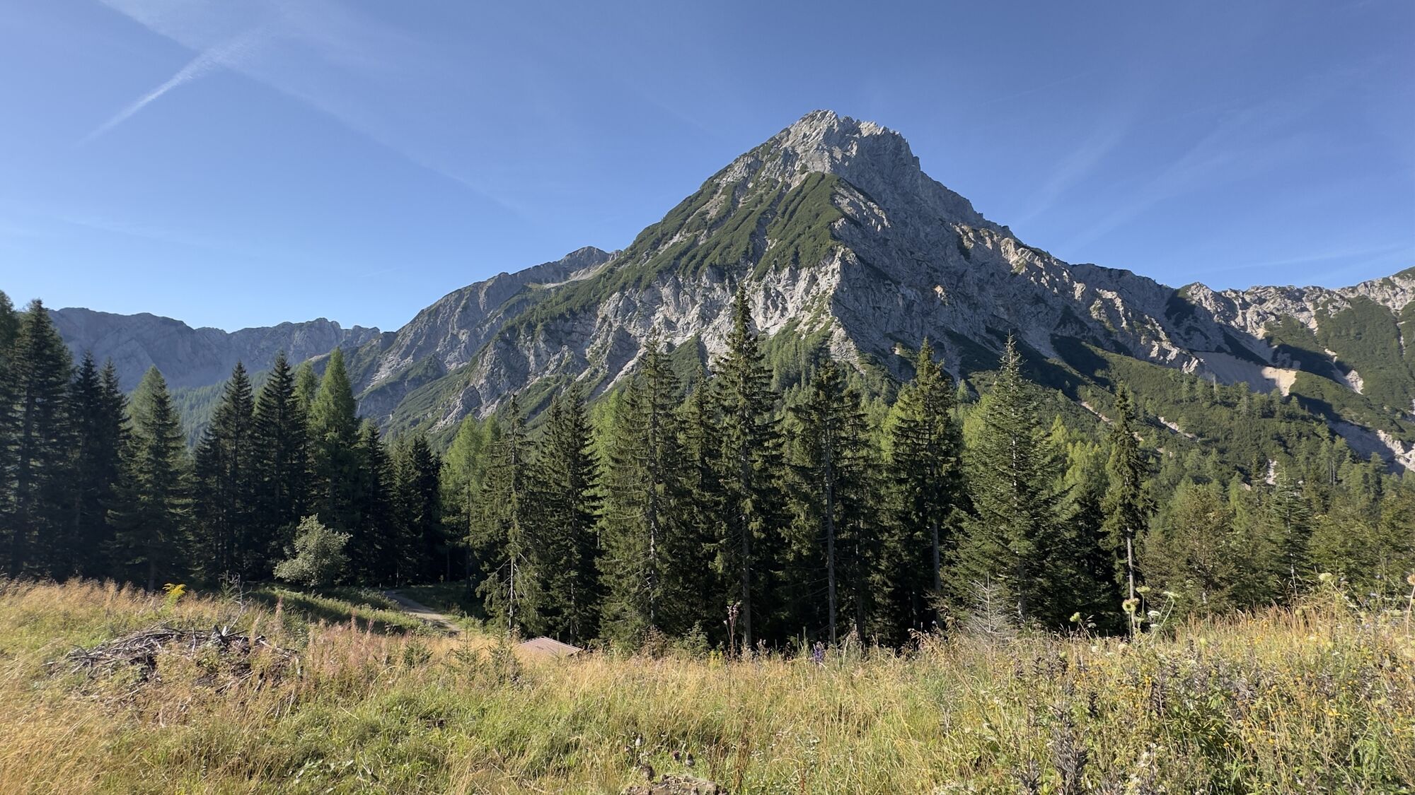
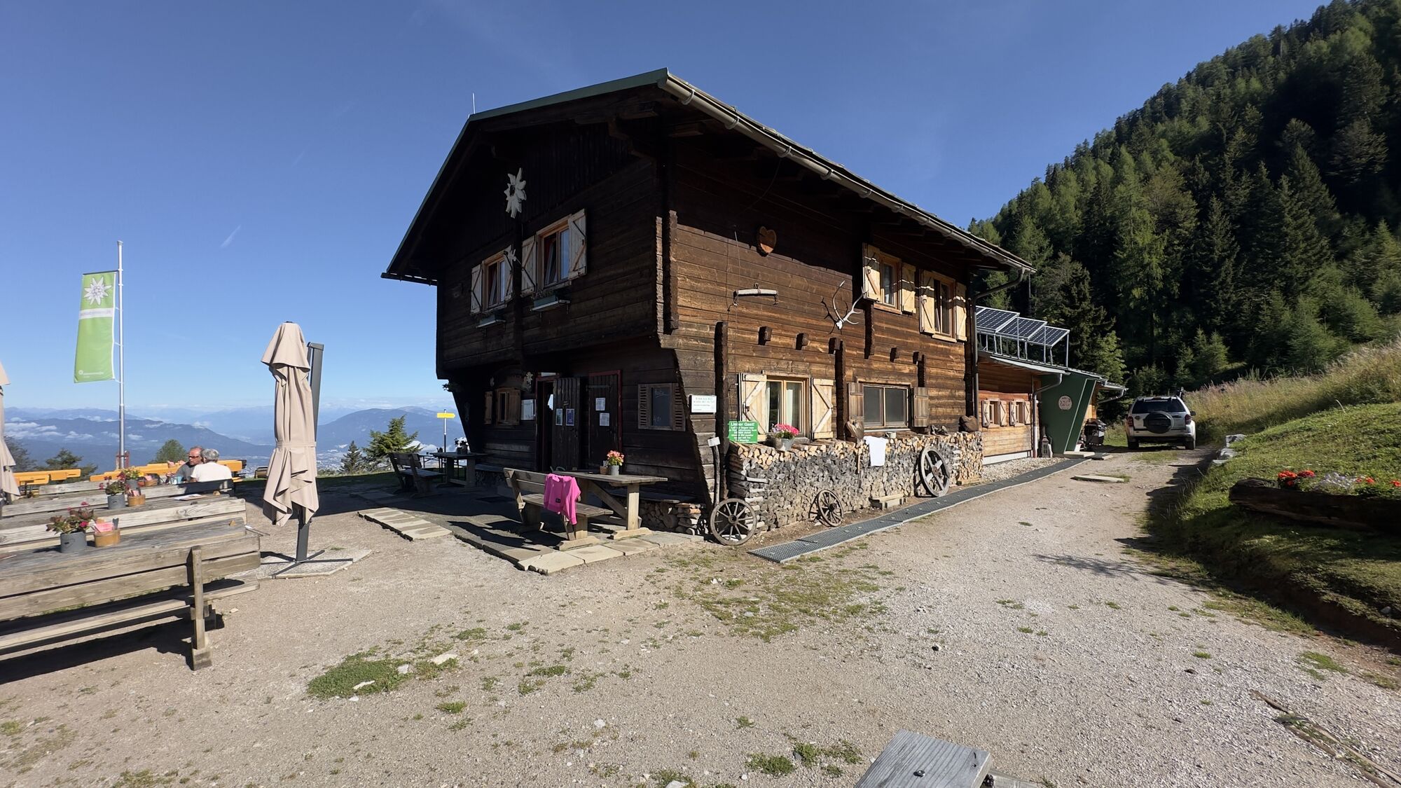
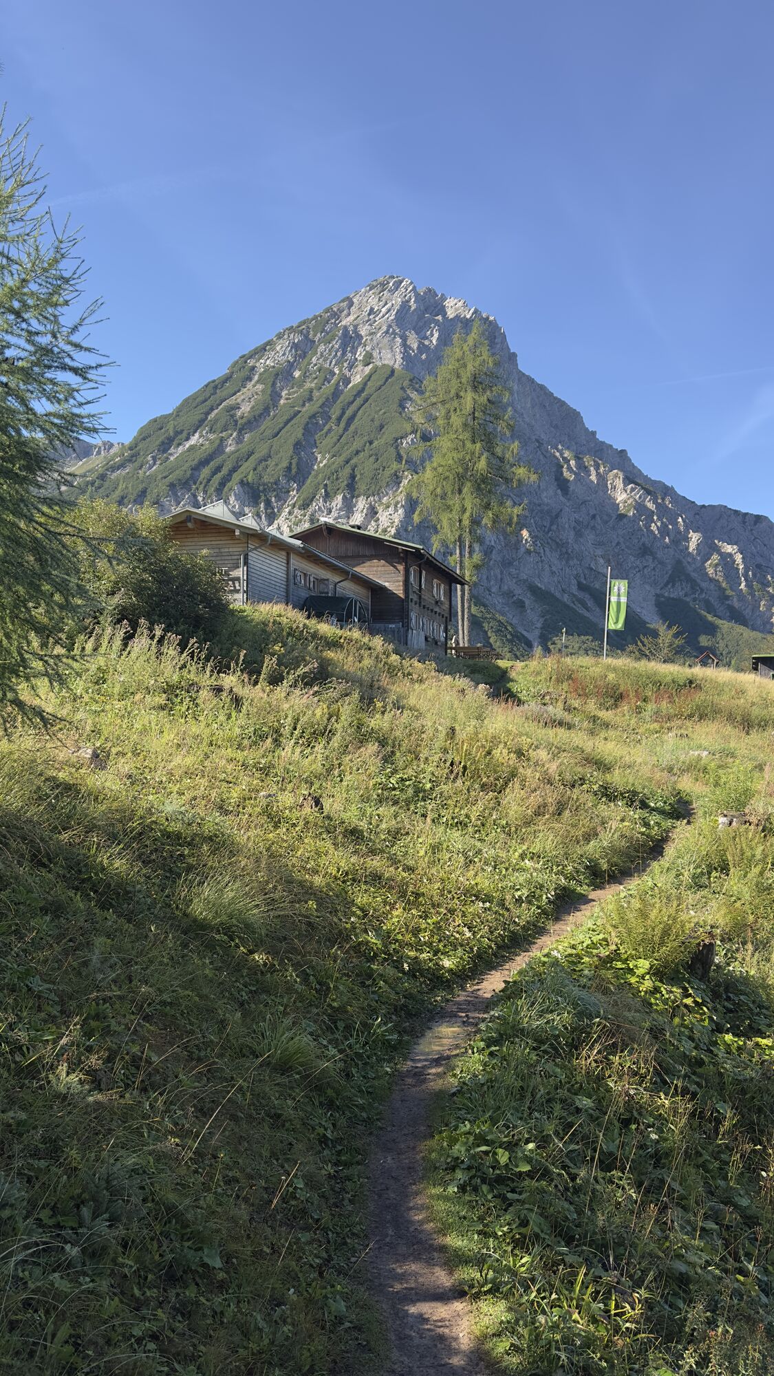
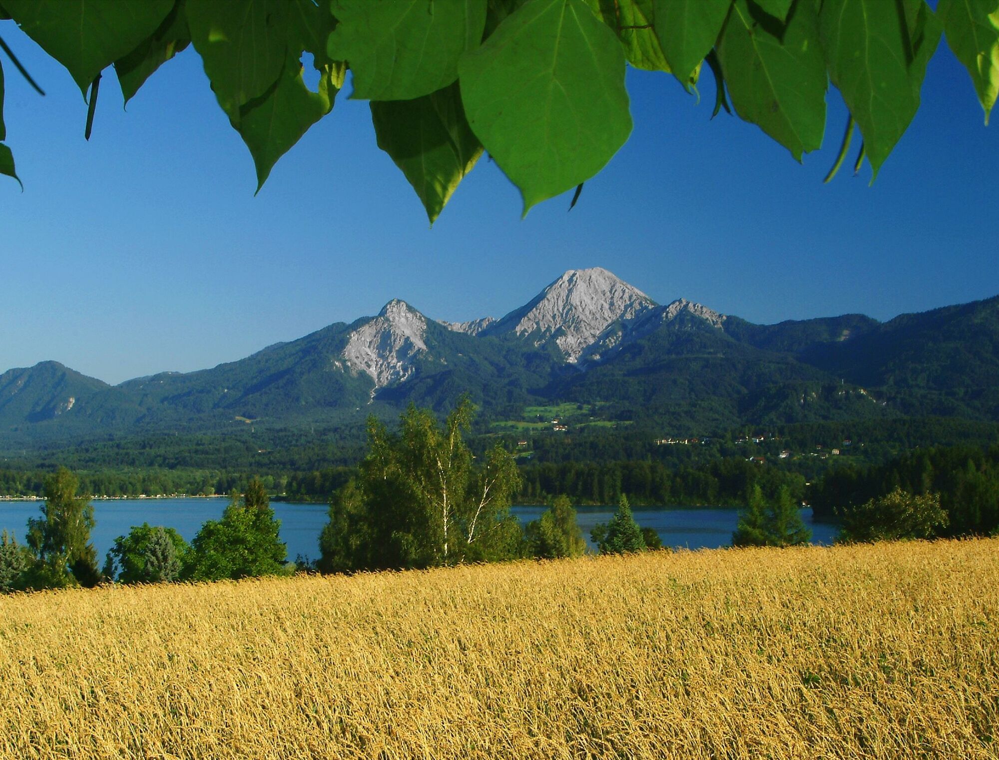
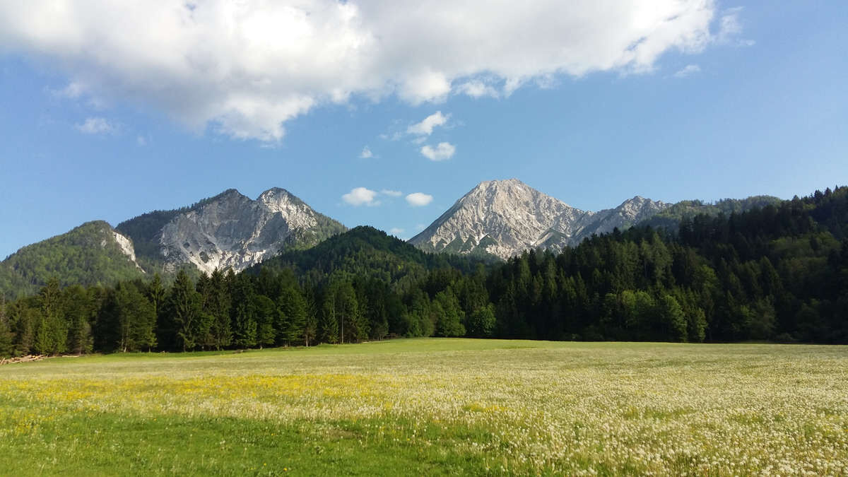
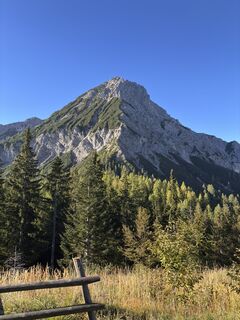
Imposing, impressive, and expressive, the Mittagskogel rises above Lake Faak. The well-marked path leads through dwarf pine slopes and scree gullies to the summit cross at 2145 meters, where you are offered...
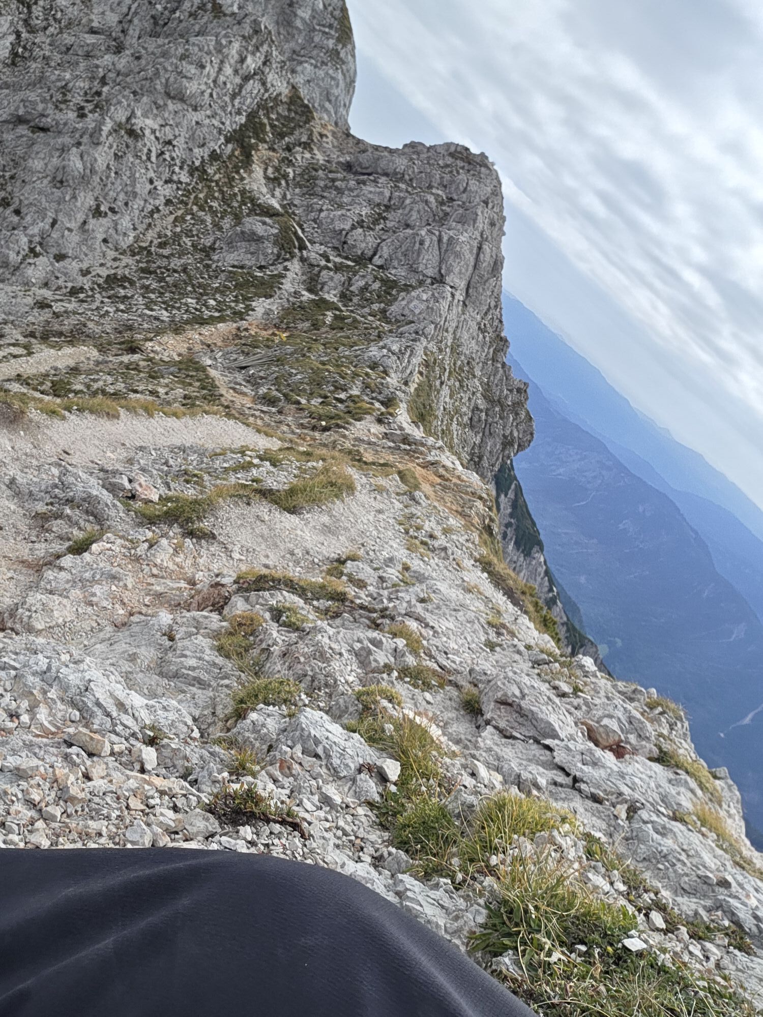
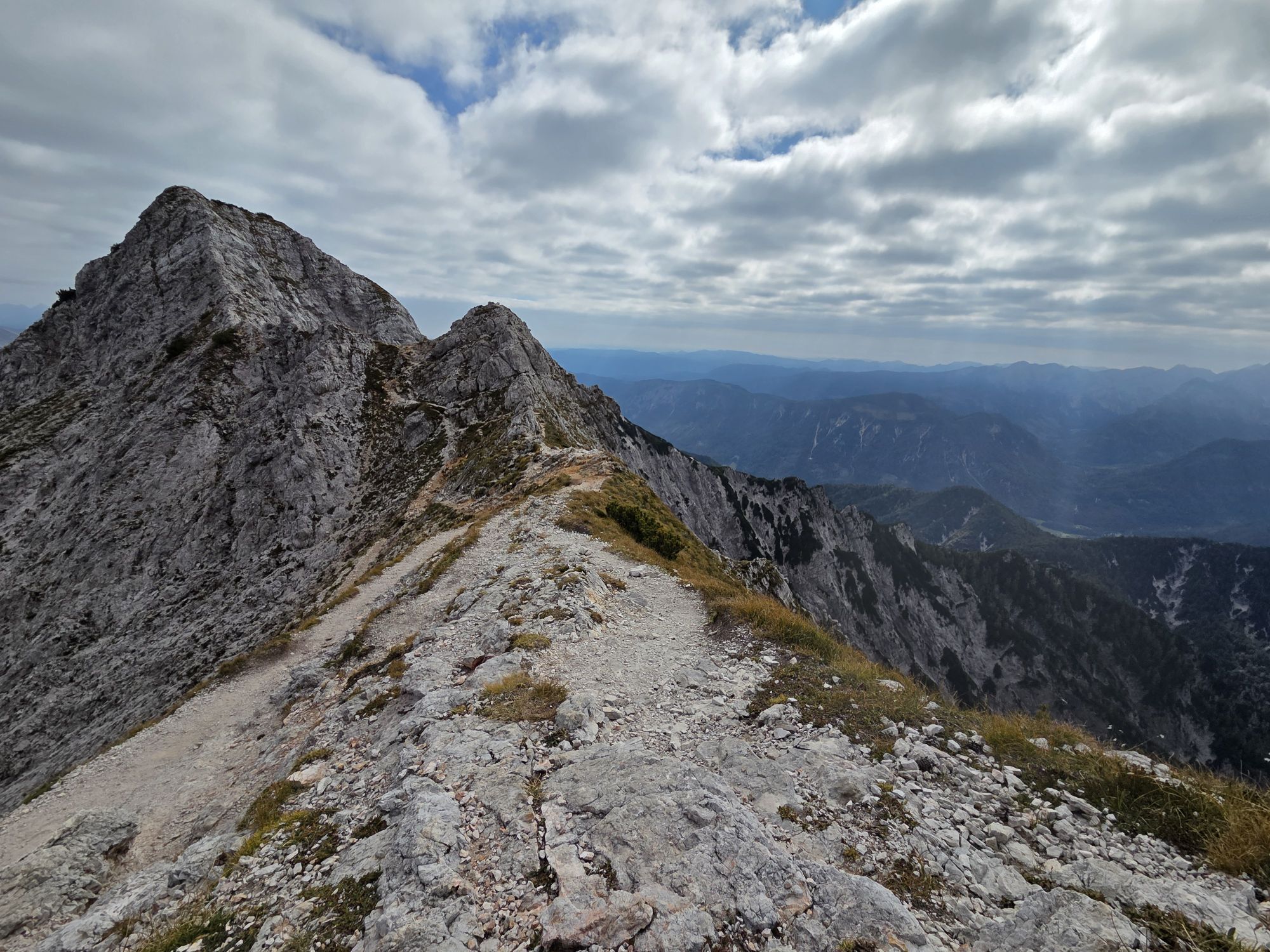
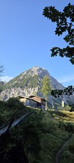
Imposing, impressive, and expressive, the Mittagskogel rises above Lake Faak. The well-marked path leads through dwarf pine slopes and scree gullies to the summit cross at 2145 meters, where you are offered a panoramic view from the Julian Alps, the Gail and Gurk valleys to the Hohe Tauern. A hearty snack is then prepared for you at the Berta Hut to regain strength for the descent.
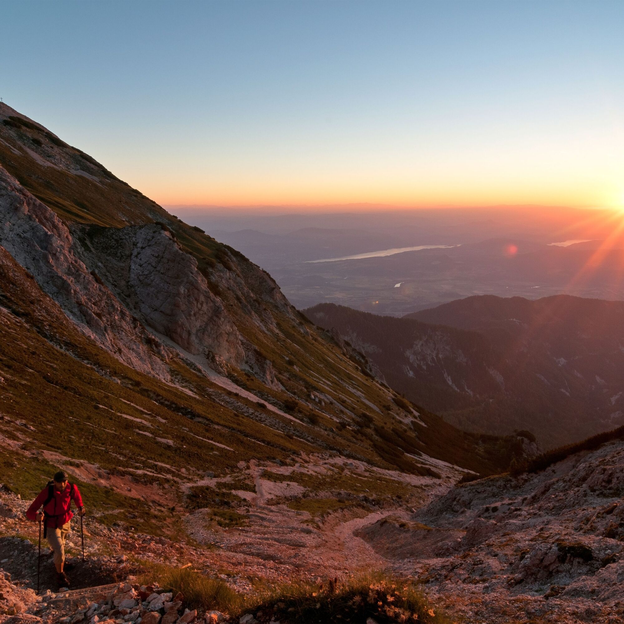
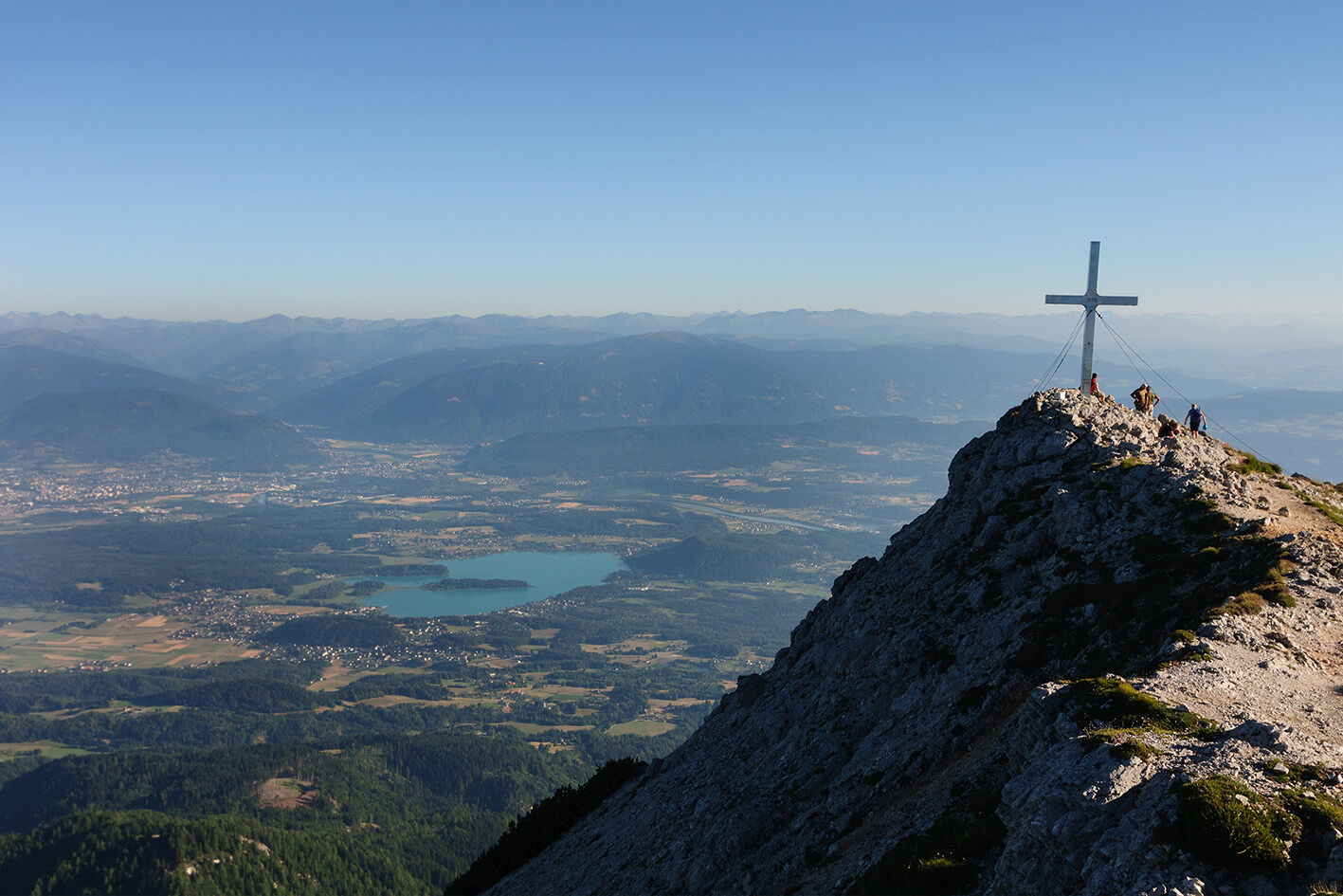
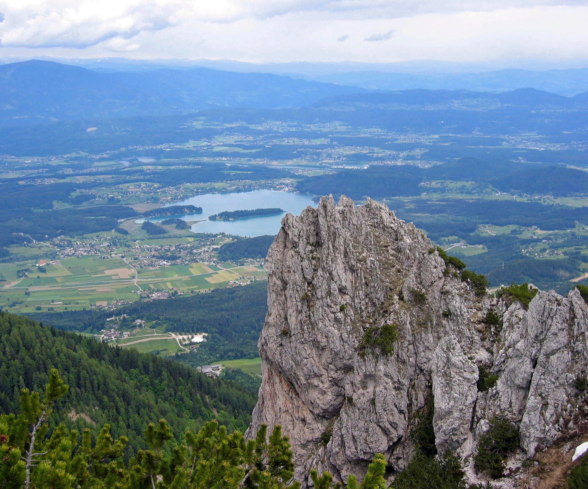
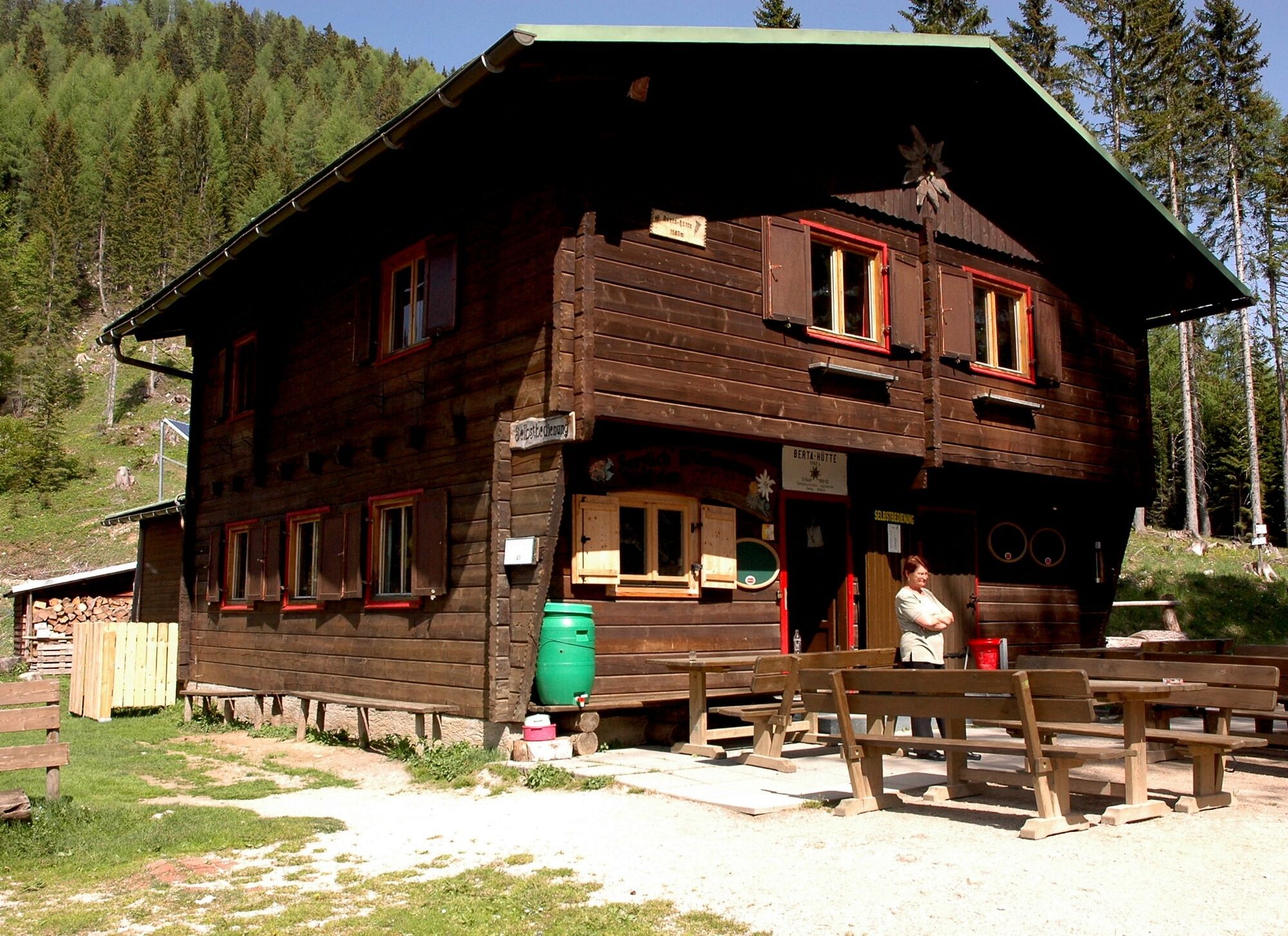

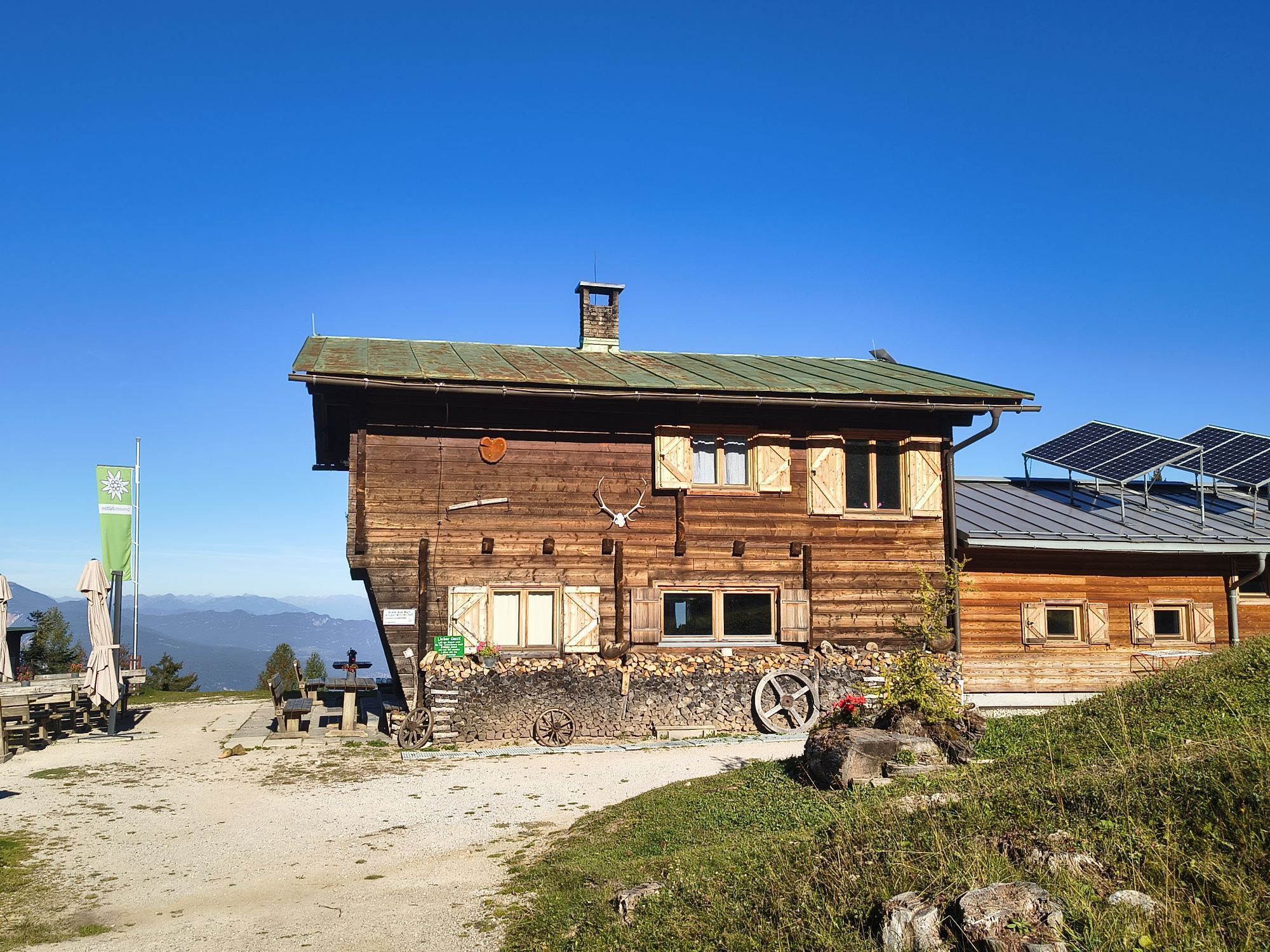
From the Hotel Mittagskogel, the road branches off towards the Berta Hut. You can drive as far as possible. Follow the red-white-red trail markers 681 or 603 to the Ferlacher Sattel (Berta Hut). From there, take the Hornerweg, always following marker 680, through dwarf pine slopes and scree gullies to the Mittagskogel notch. Then continue over the southeast slope to the summit cross of Mittagskogel (2145m). For the descent, return the same way to the Ferlacher Sattel. From here, ascend slightly to the managed Berta Hut (1567m). After a short rest, there are two options for further descent: a shady forest trail that leads downhill on the right side from the Berta Hut, crossing the forest road several times, or directly the forest road.
Ano
Sturdy footwear, rain jacket, provisions
Follow the B85 (Rosentalstraße) to Unteraichwald and turn off at the Hotel Mittagskogel onto Kopeiner Straße. At the Kopein junction, leave the paved road and turn right towards the Berta Hut.
There are some parking spaces along the forest road.
Stop at the Berta Hut. As an easier alternative, you can hike from the Berta Hut to the Ferlacher Spitze.

Aktivity na trase
-

Finkenstein am Faaker See, Kärnten/Österreich
06.10.2026 – Turistika -

Mittagskogel
04.10.2026 – Horská turistika -

Finkenstein am Faaker See, Kärnten/Österreich
04.10.2026 – Turistika -

Finkenstein am Faaker See, Kärnten/Österreich
30.09.2026 – Turistika -

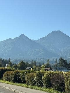
Mittagskogel über Bertahütte
26.09.2026 – Turistika -

Finkenstein am Faaker See, Kärnten/Österreich
26.09.2026 – Turistika -

Finkenstein am Faaker See, Kärnten/Österreich
26.09.2026 – Turistika -

Finkenstein am Faaker See, Kärnten/Österreich
20.09.2026 – Turistika -

Mittagskogel Finkenstein am Faaker See, Kärnten/Österreich
13.09.2026 – Turistika -

mittagskogel über normalweg/bertahütte
08.09.2026 – Turistika -
Mittagskogel, Kärnten/Österreich
03.09.2026 – Turistika -

Finkenstein am Faaker See, Kärnten/Österreich
30.08.2026 – Turistika -
Mittagskogel – Nordostgrat, Kärnten/Österreich
29.08.2026 – Turistika -

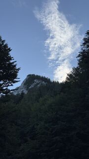
Mittagskogel, Kärnten/Österreich
26.08.2026 – Turistika -
Finkenstein am Faaker See, Kärnten/Österreich
23.08.2026 – Turistika -
Finkenstein am Faaker See, Kärnten/Österreich
11.08.2026 – Turistika -

Finkenstein am Faaker See, Kärnten/Österreich
09.08.2026 – Turistika -

Finkenstein am Faaker See, Carinthia/Austria
05.08.2026 – Turistika -

Finkenstein am Faaker See, Kärnten/Österreich
01.08.2026 – Turistika -

Finkenstein am Faaker See, Kärnten/Österreich
26.07.2026 – Turistika
Oblíbené prohlídky v okolí
-
4.4
Mittagskogel - Rundwanderung
heavyTuristika 14.5 km -
4.5
Mallestiger Mittagskogel
středníTuristika 8.17 km -
4.8
Schwarzkogel-Runde über Jepzasattel Schwarzkogel, Mallestiger Mittagskogel
středníTuristika 13.4 km -
4.3
Lake circular trail
světloNordic Walking 9.85 km -
4.7
Rotschitza Klamm Klettersteig B/C
středníVia ferrata 3.73 km -
4.7
Baumgtn. Höhe, Mallestiger Mittags- und Schwarzkogel
heavyZimní turistika 10.7 km -
4.9
Gratschenitzen Kreuz
heavyVysokohorská turistika 3 km -
4.4
Kopein, Bertahütte, Ferlacher Spitz (29)
středníZimní turistika 12.8 km -
4.6
Mallestiger Mittagskogel
středníTuristika 11.6 km -
4.4
Mittagskogel - Westgrat
středníTuristika 7.24 km
Pěší turistika a stopování


Nenechte si ujít nabídky a inspiraci pro vaši příští dovolenou
Vaše e-mailová adresa byl přidán do poštovního seznamu.





