


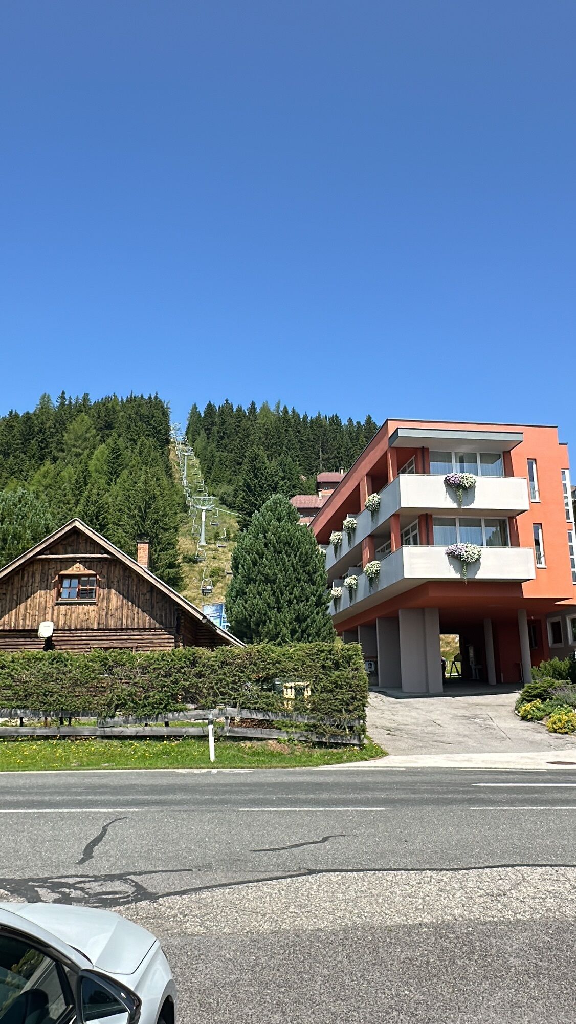
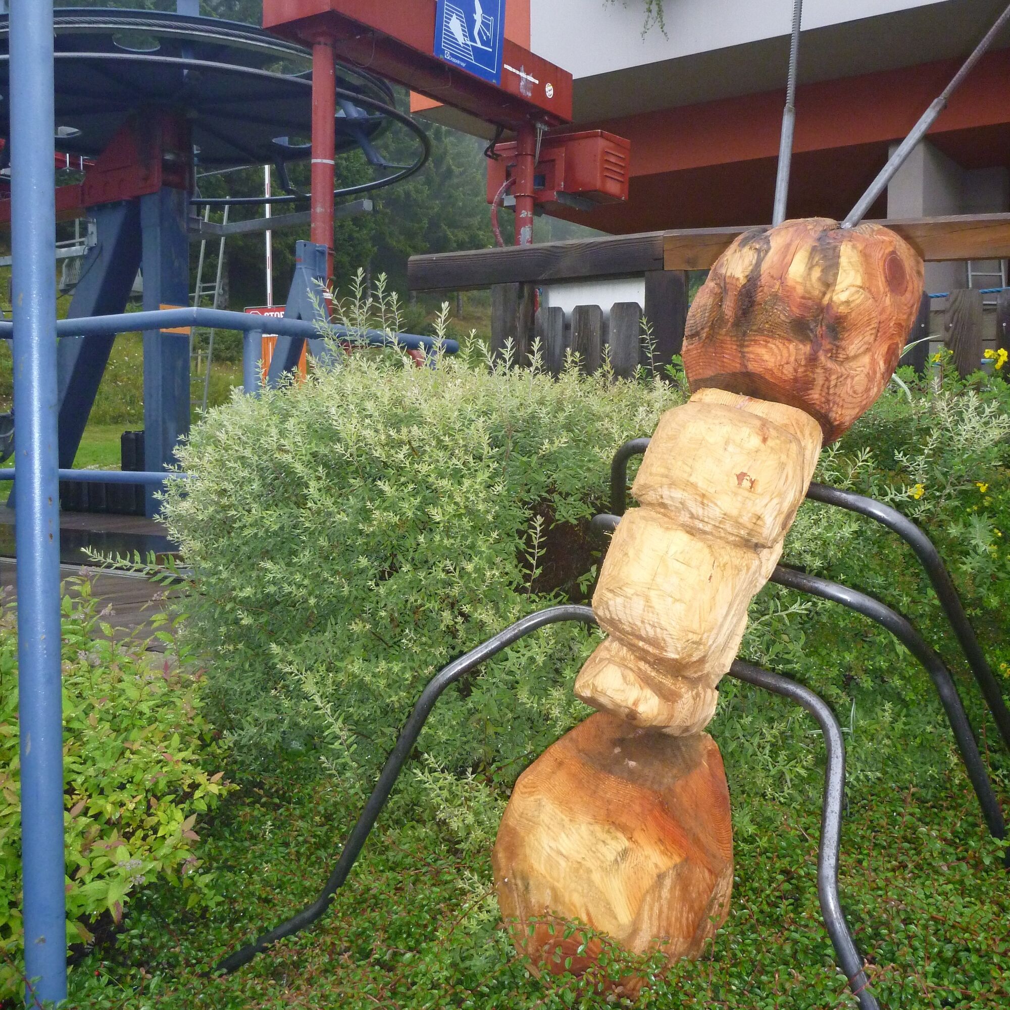
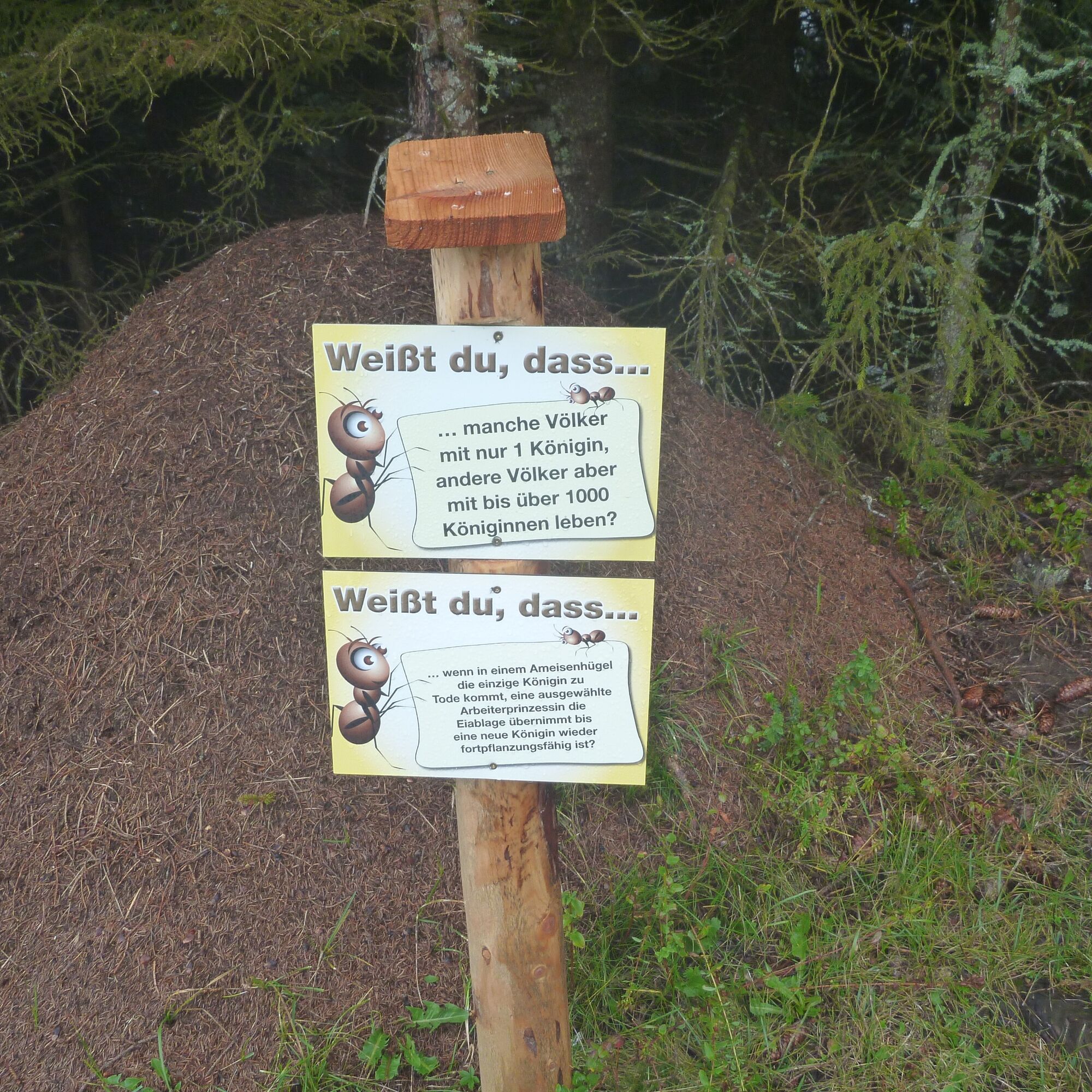
Klippitztörl: Ant Educational Trail

Forest and road ants belong to our living environment. On the discovery journey of the "Nature Experience Ant Trail," children, young people, and adults learn about the fascinating world of the gigantic...
Forest and road ants belong to our living environment. On the discovery journey of the "Nature Experience Ant Trail," children, young people, and adults learn about the fascinating world of the gigantic giants. In the forest ecosystem, a variety of small creatures live that are extremely important for the ecological balance. One of these natural wonders is the wood ant. It inhabits a wide range of forests – from mixed forest to coniferous forest – from the valley to the alpine region and is widespread throughout Austria.
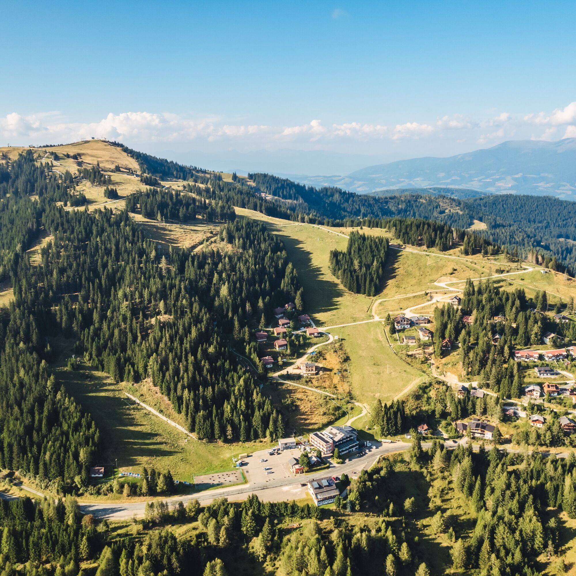
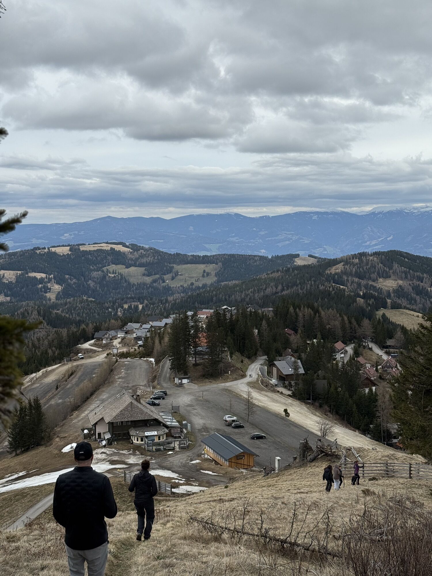
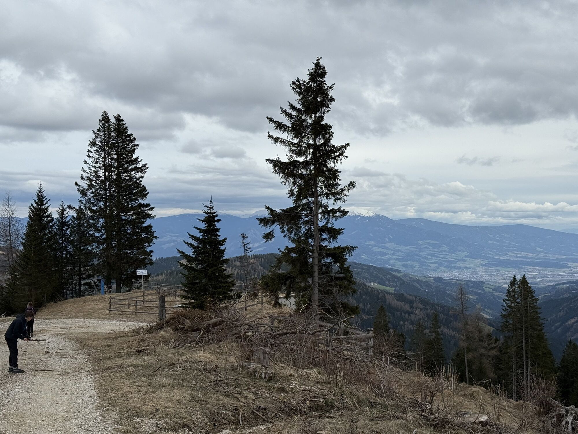
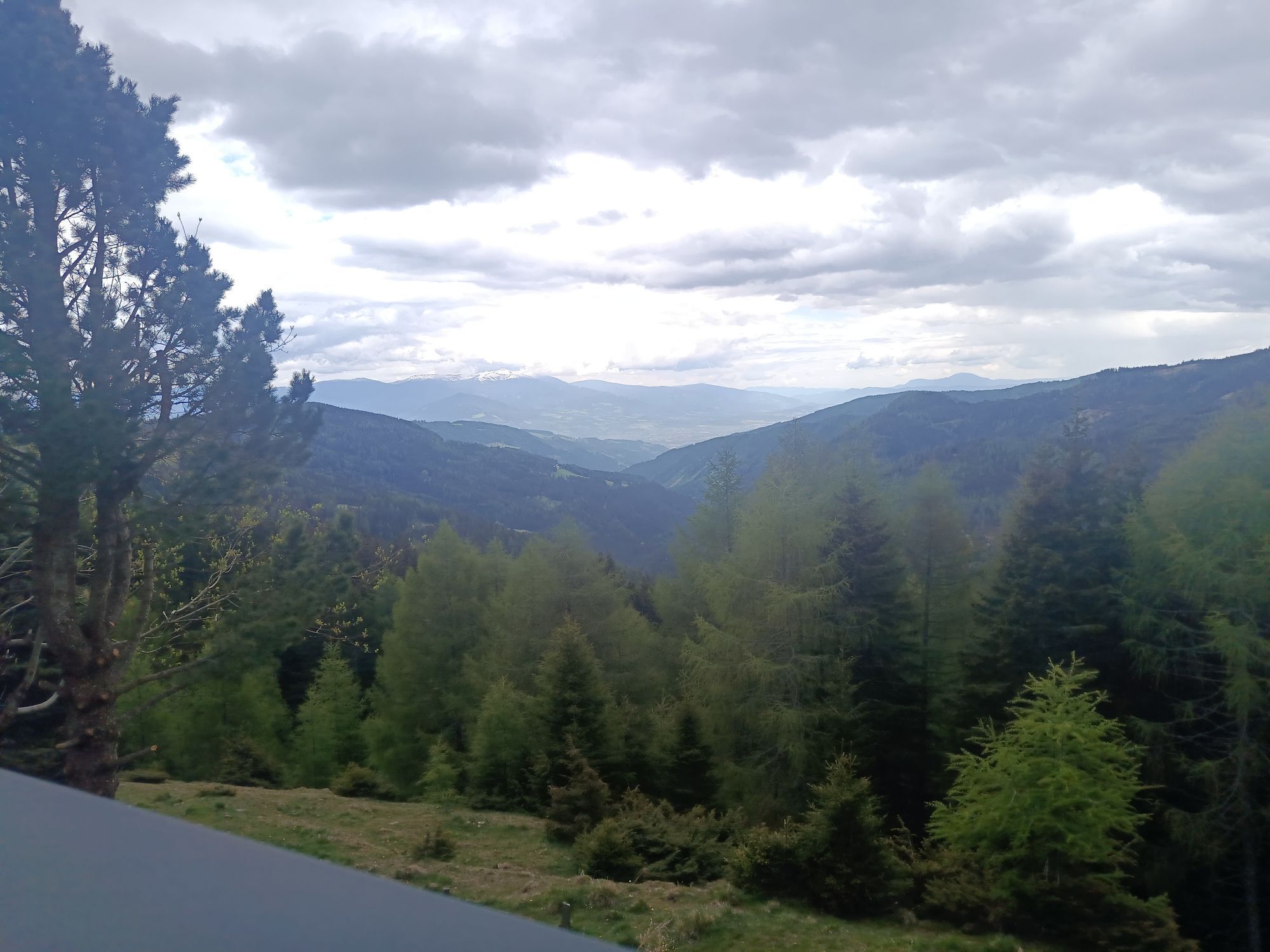
Parking Klippitztörl/valley station Hocheggerlift, follow the signs towards Almhüttendorf Klippitztörl - turn right towards Hohenwartstraße - continue on the signposted forest path to the Ant Rock - along Hohenwartstraße to the Panoramaweg junction - across the wooden bridge of the summer toboggan run and after 10 m turn left - follow the signs to "Riaga Halt" - along the forest path to the lower bridge of the summer toboggan run - under the wooden bridge follow the path to the "Ant Water Source" - continue following the signs downhill to the Almhüttendorf and follow the forest path to the valley station of the Hocheggerlift.
Ano
Ano
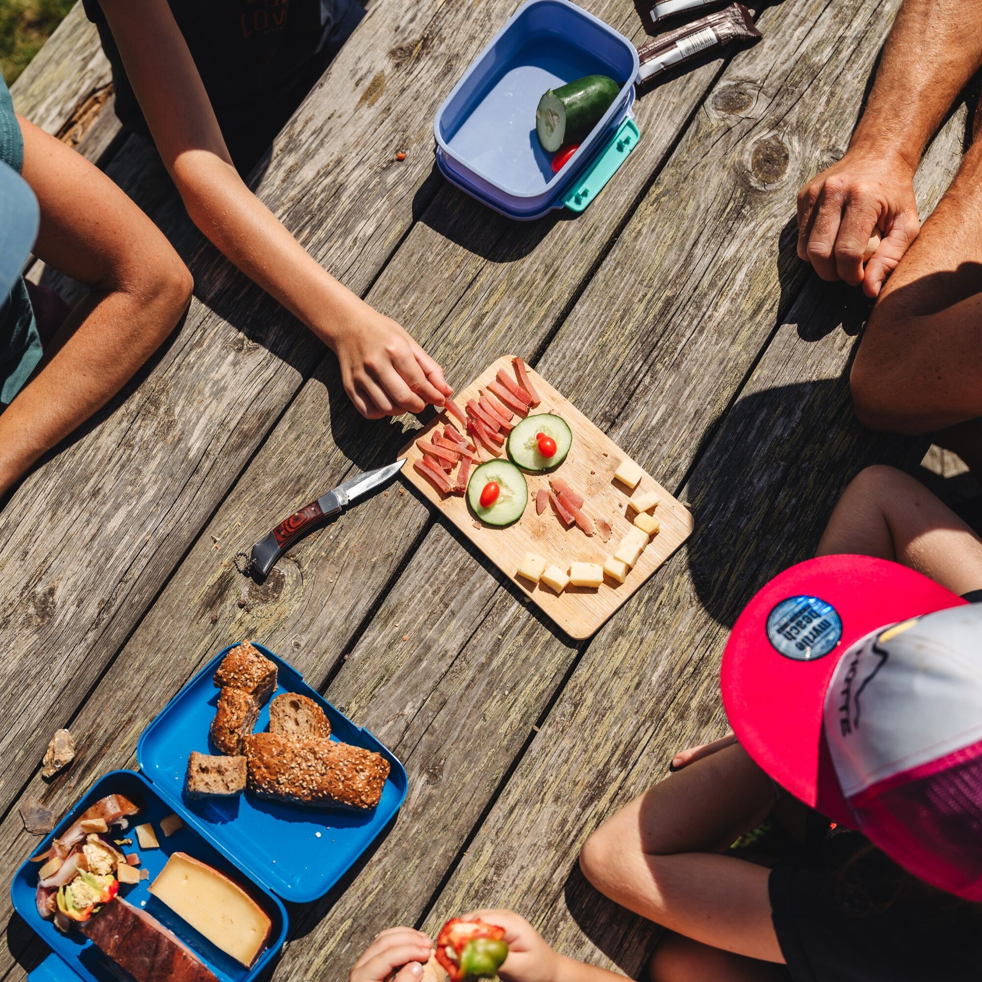
Light hiking shoes and a small backpack with the essentials are sufficient.
Attention grazing cattle - please keep dogs on a leash.
From Graz/Klagenfurt - A2 South - exit Bad St. Leonhard to B78 Obdacher Bundesstraße. Turn right about 2.5 km towards Bad St. Leonhard. Turn left towards Kliening/Klippitztörl. Along the Klippitztörl state road (about 8 km) to the public parking at Klippitztörl by the Hocheggerlift.
From Wolfsberg via St. Margarethen Preims - Klippitztörl (about 25 km).
No public transport connection
Public parking on the federal road at the Hocheggerlift.
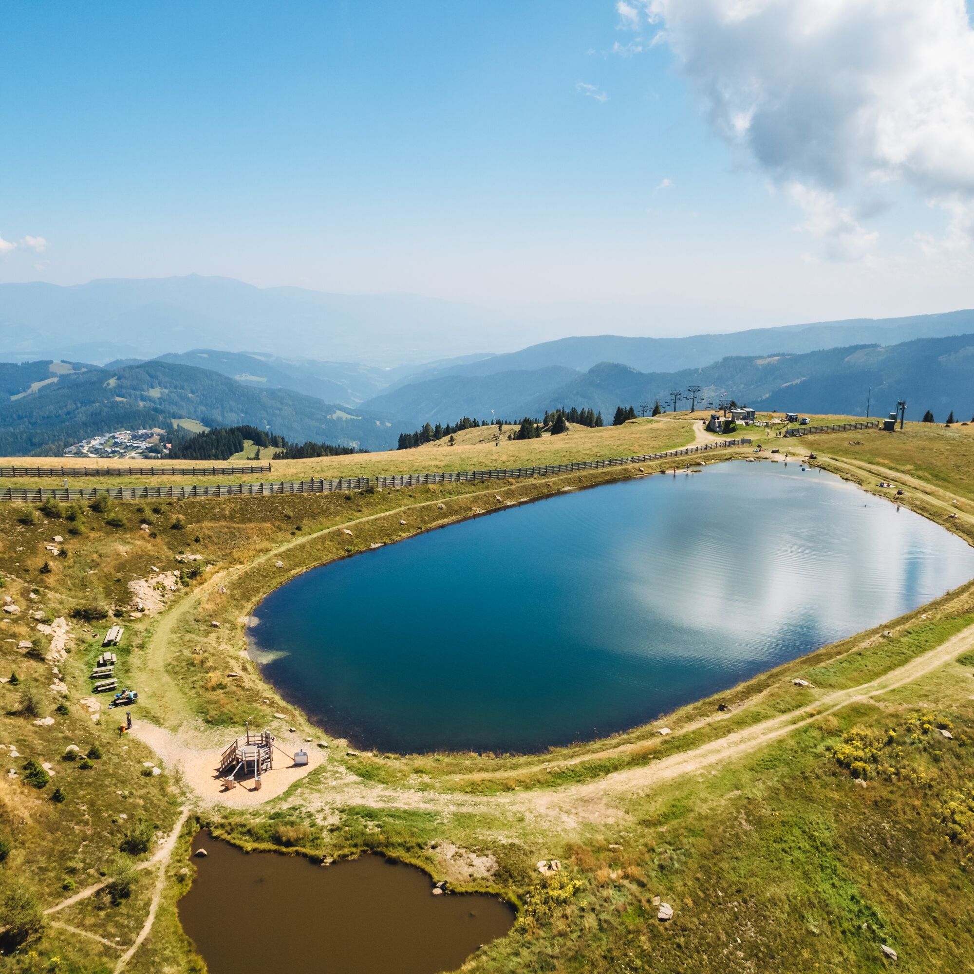
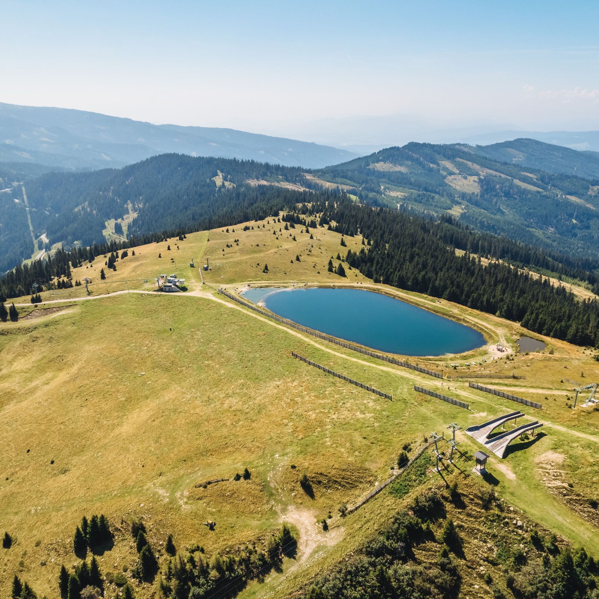
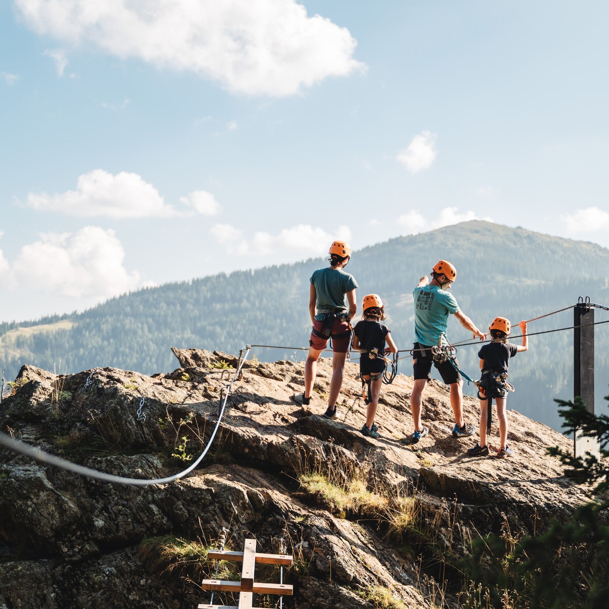
In summer, the summer toboggan run and climbing garden complete the offer, and in winter, signposted snowshoe walks of all difficulty levels are offered at Klippitztörl.
Webové kamery z prohlídky
Oblíbené prohlídky v okolí
- 4.9
Zirbitzkogel Wildsee Rothaidehütte
středníTuristika 15.4 km - 4.4
Klippitztörl - Geierkogel loop trail no. G
středníTuristika 6.79 km - 4.8
Zirbitzkogel Waldheimhütte - Wildsee - Fuchskogel - Zirbitzkogel, Steiermark/Österreich
středníTuristika 15.2 km - 4.6
Skitour Zirbitzkogel
středníLyžařská trasa 6.01 km - 4.5
Bad St. Leonhard: L5 hike Kliening - Sauerbrun
středníTuristika 9.49 km - 5.0
Rothaidehütte Runde Zirbitzkogel
středníTuristika 6.17 km - 4.1
Vom Klippitztörl auf die Forstalm mit Geierkogel und Steinerner Hochzeit.
středníTuristika 10.5 km - 5.0
Weißbergerhütte - Gertrusk - Ladingerspitz
středníTuristika 8.95 km - 4.8
Winter sun on the Saualm
světloSněžnice 4.70 km - 4.2
Saualpen ridge – Speikkogel, Großer and Kleiner Sauofen
středníTuristika 10.8 km

Pěší turistika a stopování


Nenechte si ujít nabídky a inspiraci pro vaši příští dovolenou
Vaše e-mailová adresa byl přidán do poštovního seznamu.