






Keutschach moor nature trail
--- Moor tower currently closed due to recent storms. ---
For many years, the Keutschach Moor has been part of the international RAMSAR Convention. This is an international agreement for the protection...
--- Moor tower currently closed due to recent storms. ---
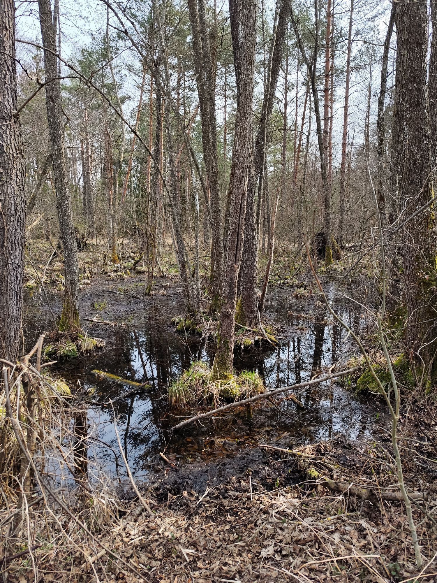
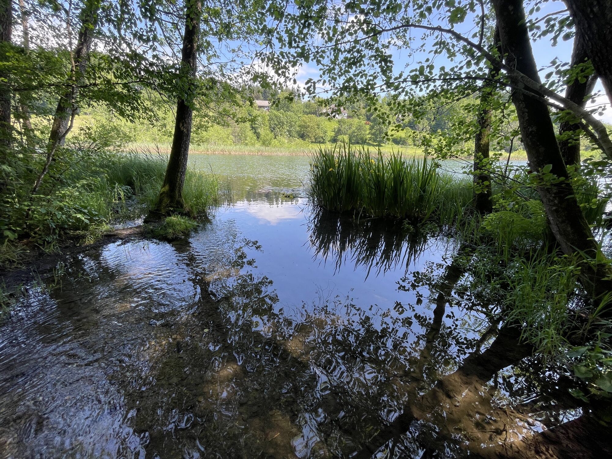
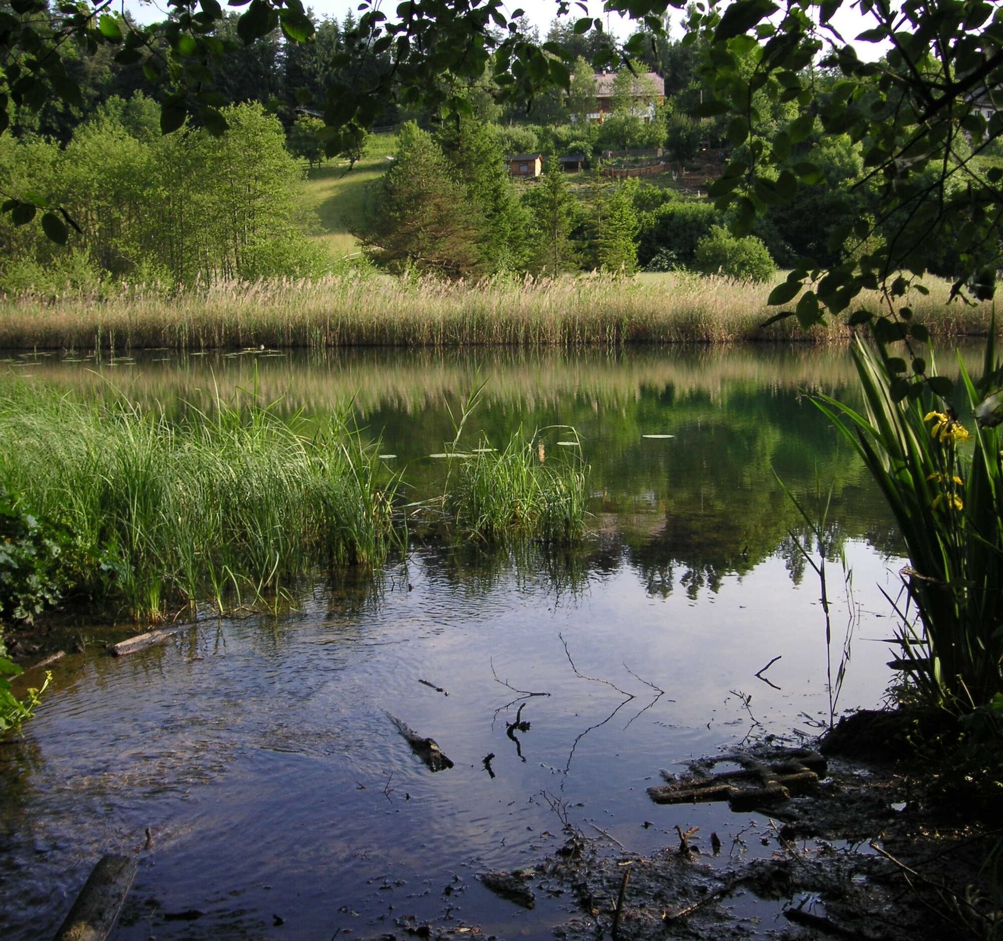
For many years, the Keutschach Moor has been part of the international RAMSAR Convention. This is an international agreement for the protection of wetlands. Therefore, it is important to present this valuable natural jewel to local residents and visitors. The 7-kilometer circular hiking trail passes 12 newly designed information boards that explain the sensitive moor habitat.
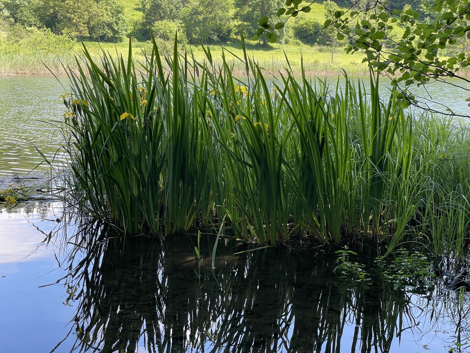
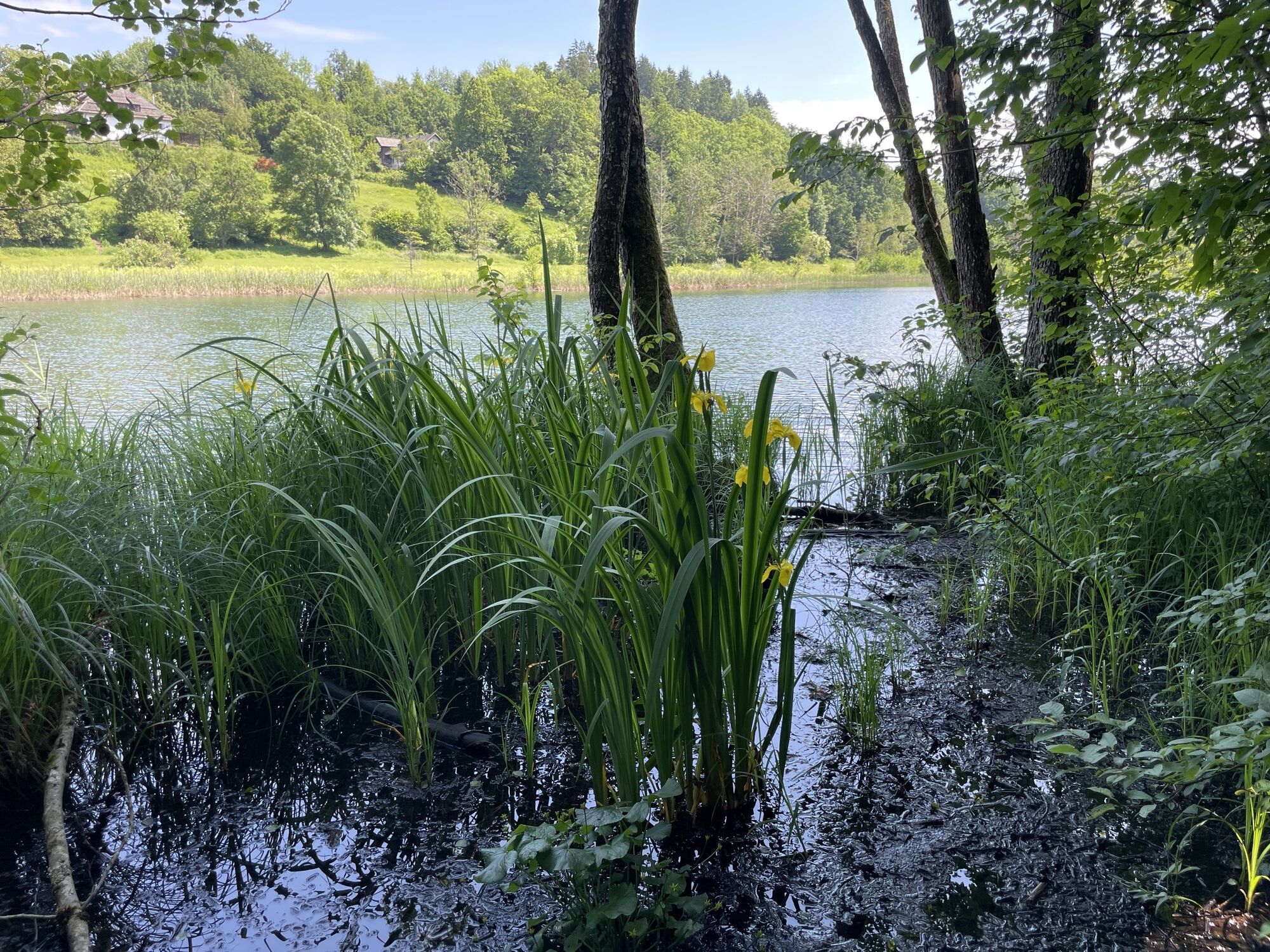
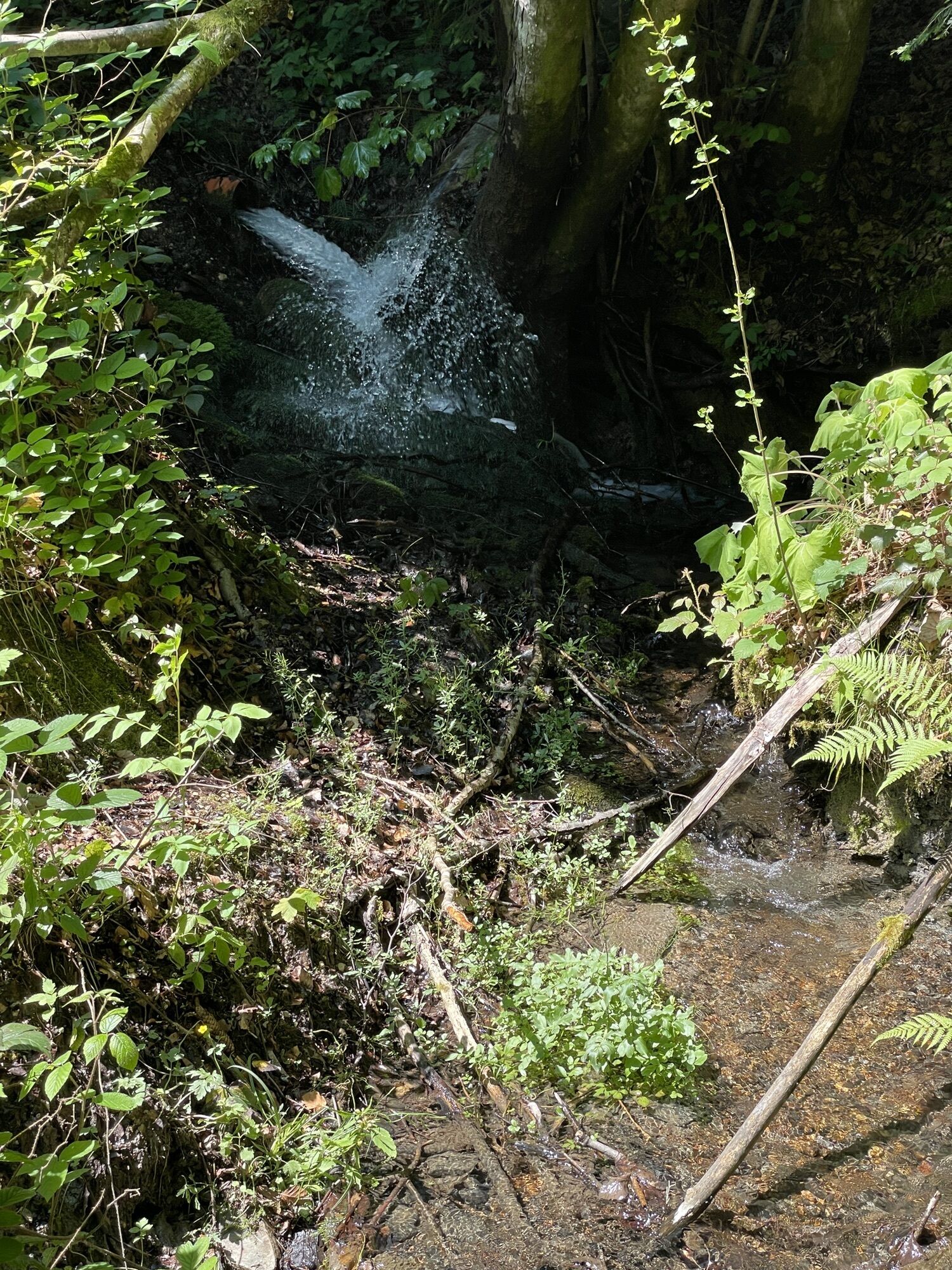
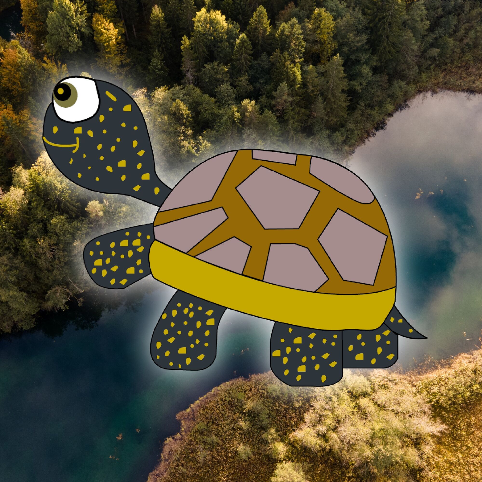
This introduces the special plant and animal life of the Keutschach Moor, explains the habitat and its history, and draws attention to the acute threat to the moor landscape. With luck, you can discover many animals and plants directly in the moor. A marsh turtle (lat. Emys Orbicularis) named Emy brings the Keutschach Moor closer to children through a puzzle adventure.
When the puzzle is solved, the young hikers receive a glowing turtle button as a reward.



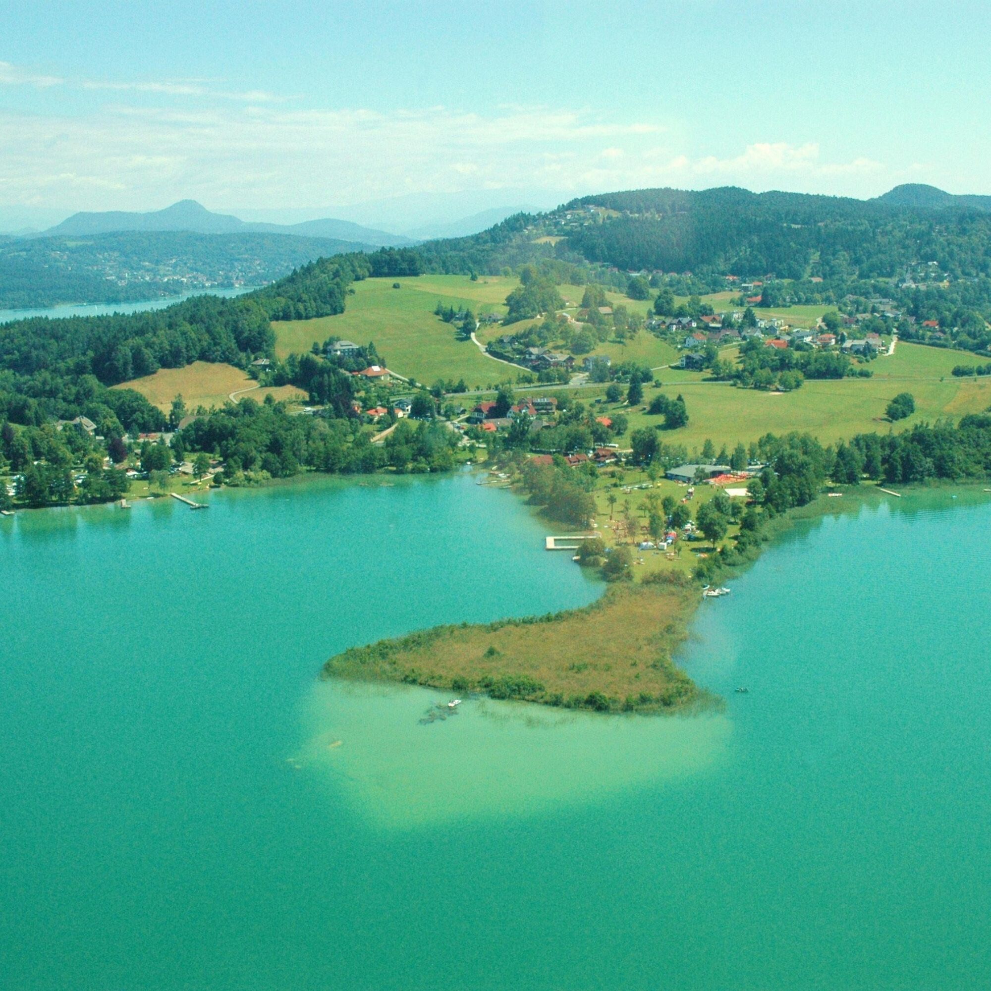
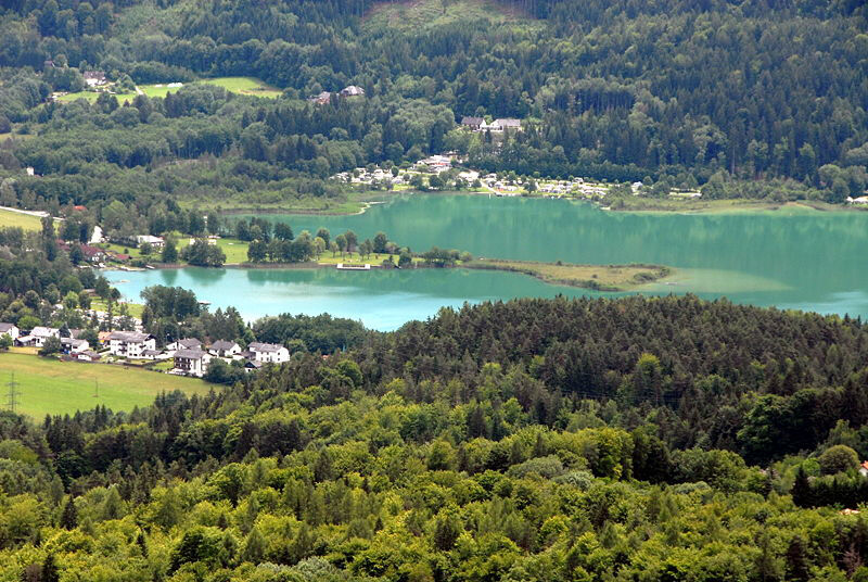
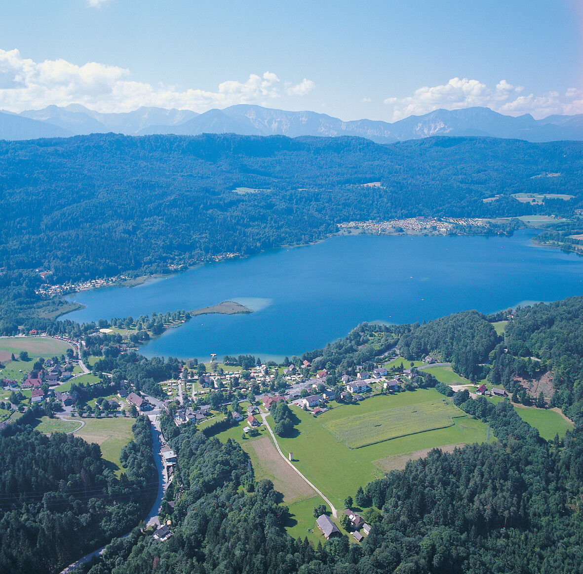
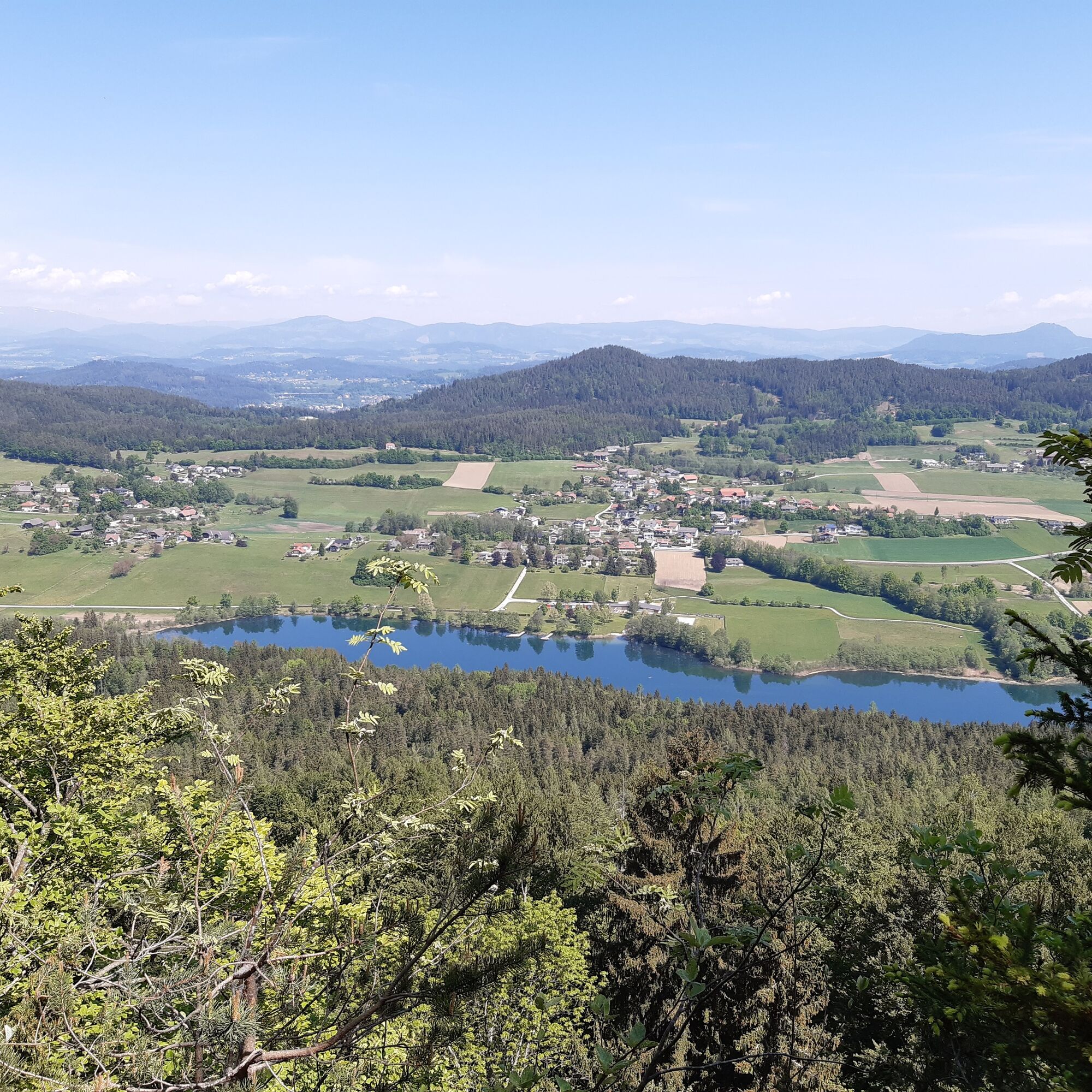
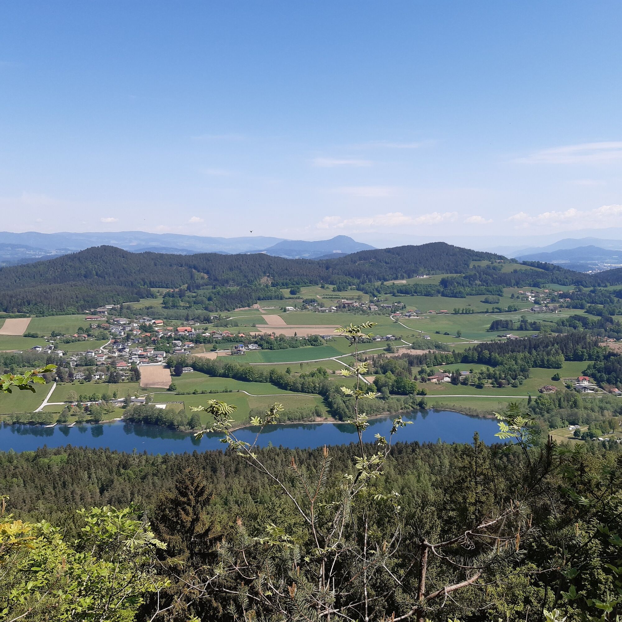
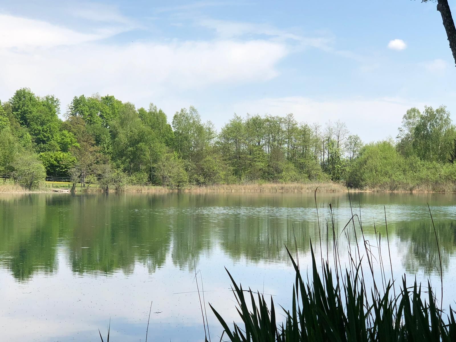
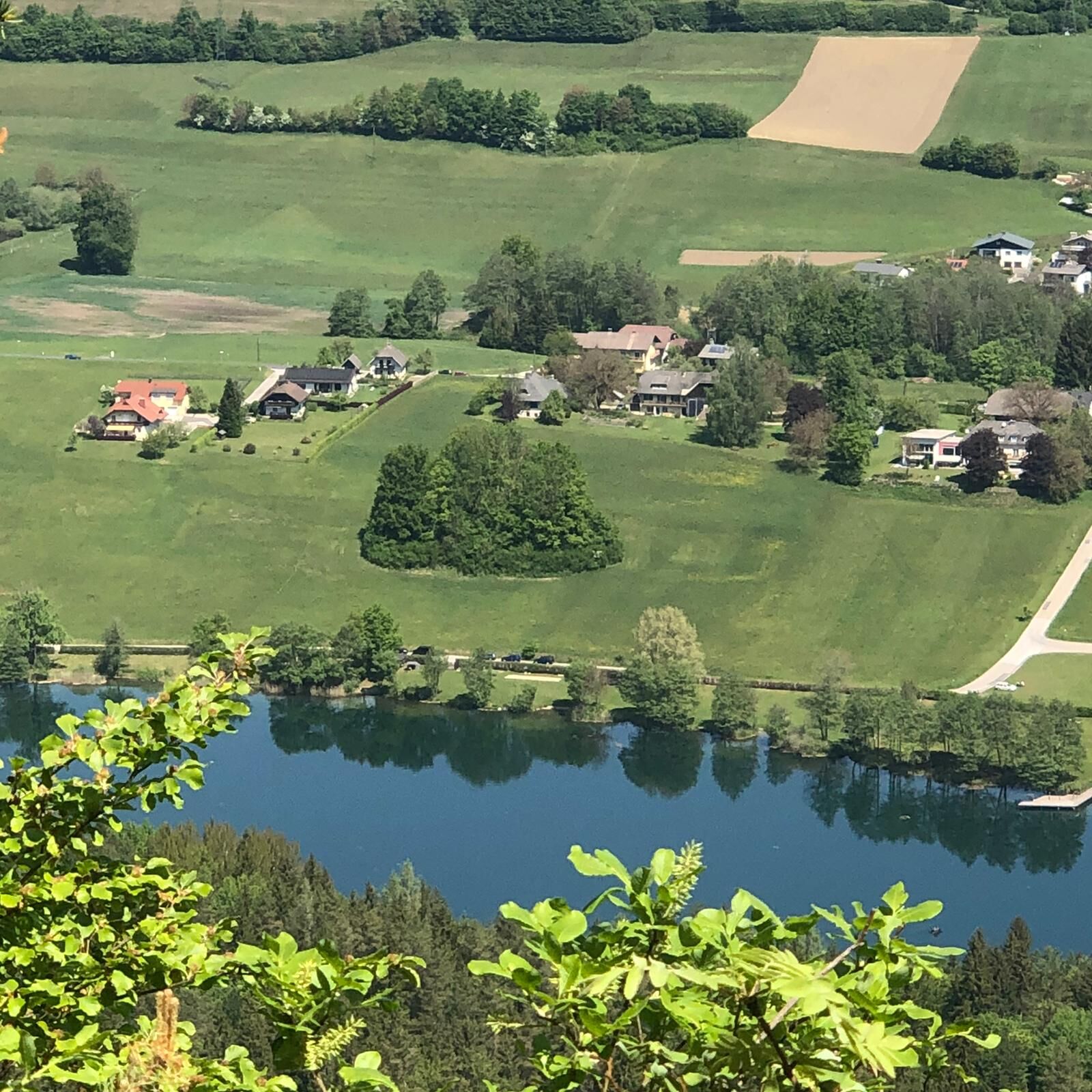
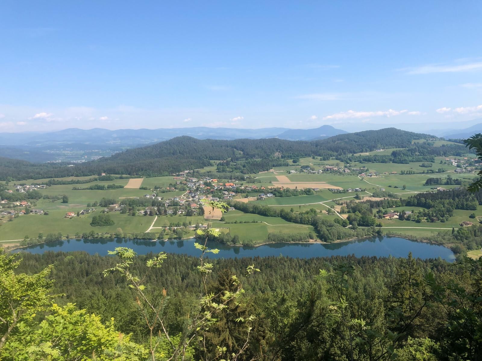
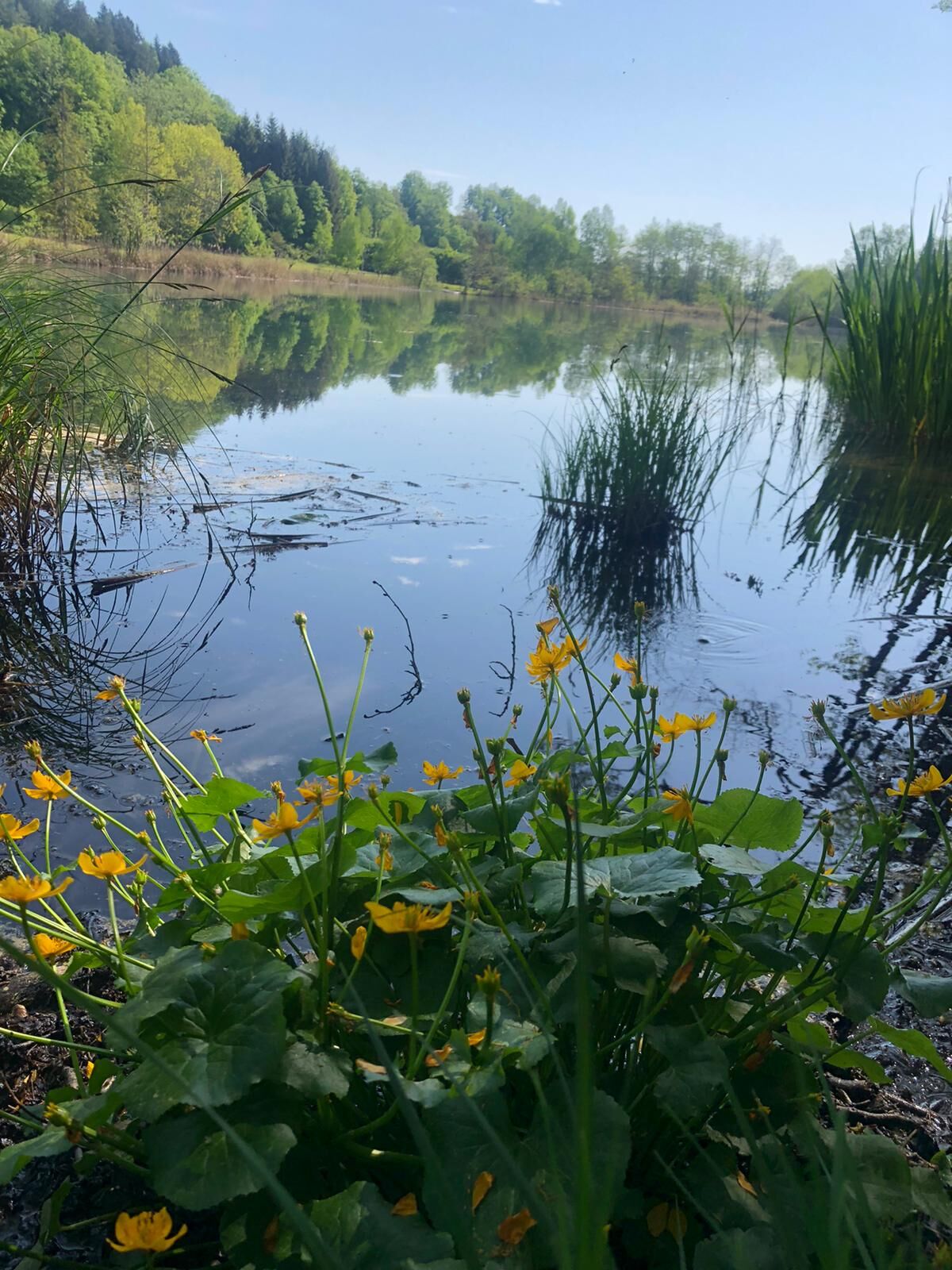
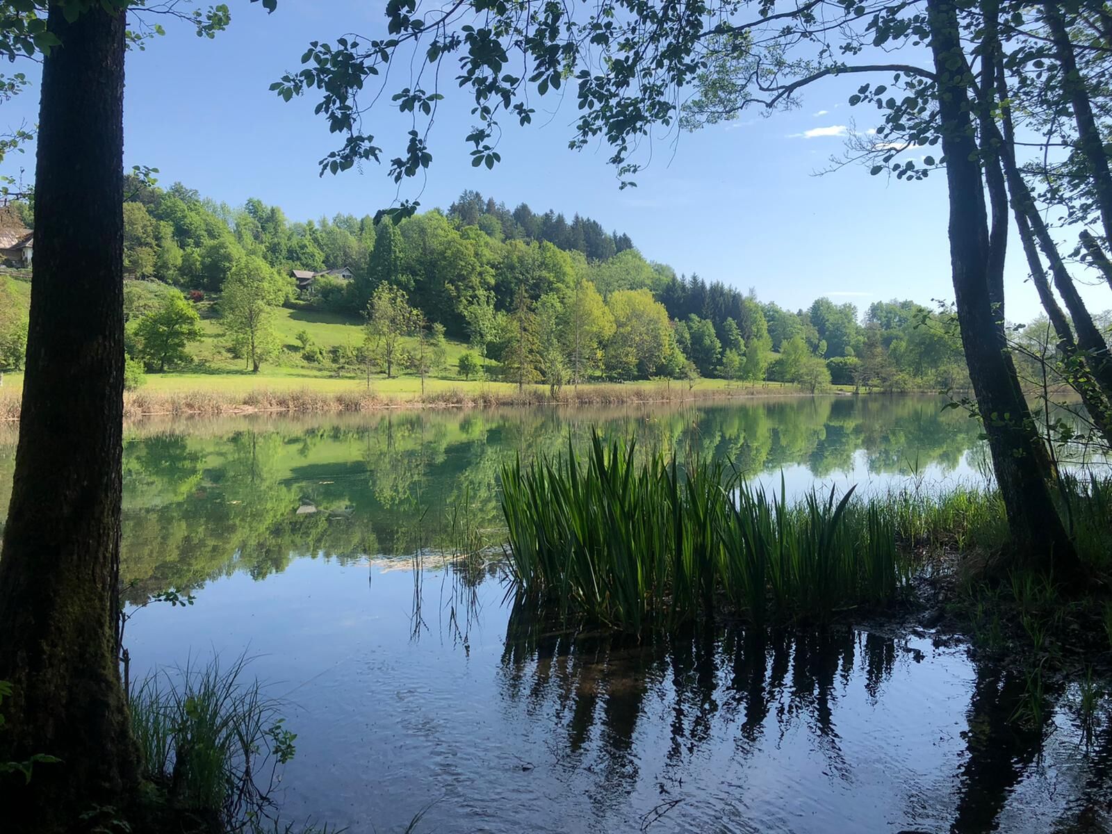
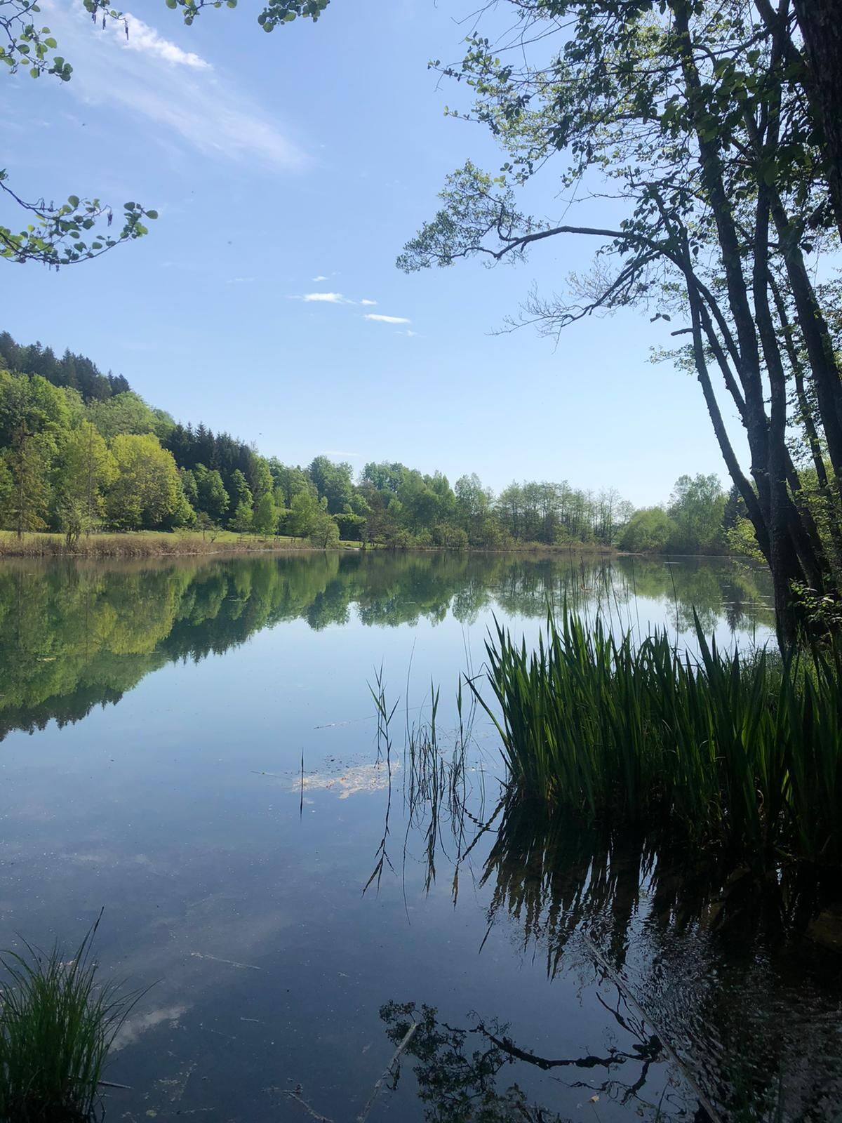
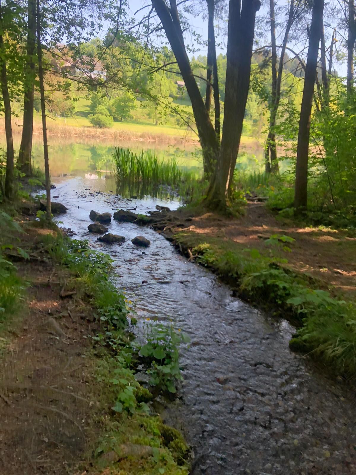

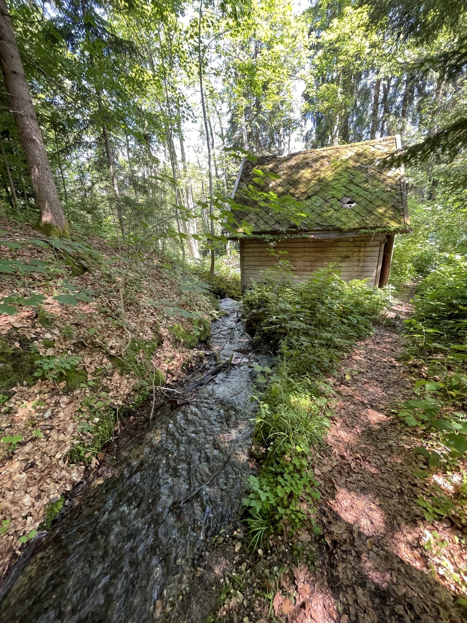
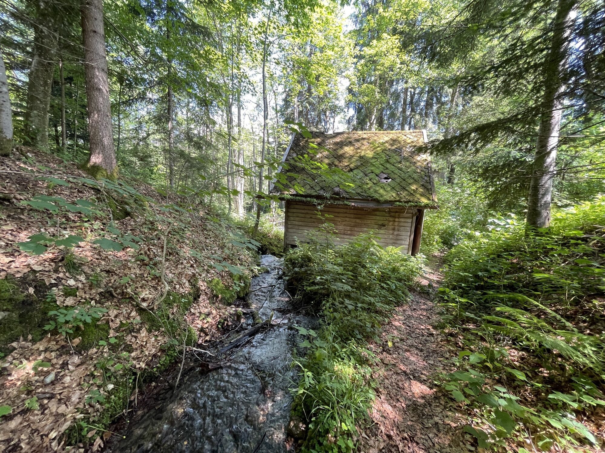
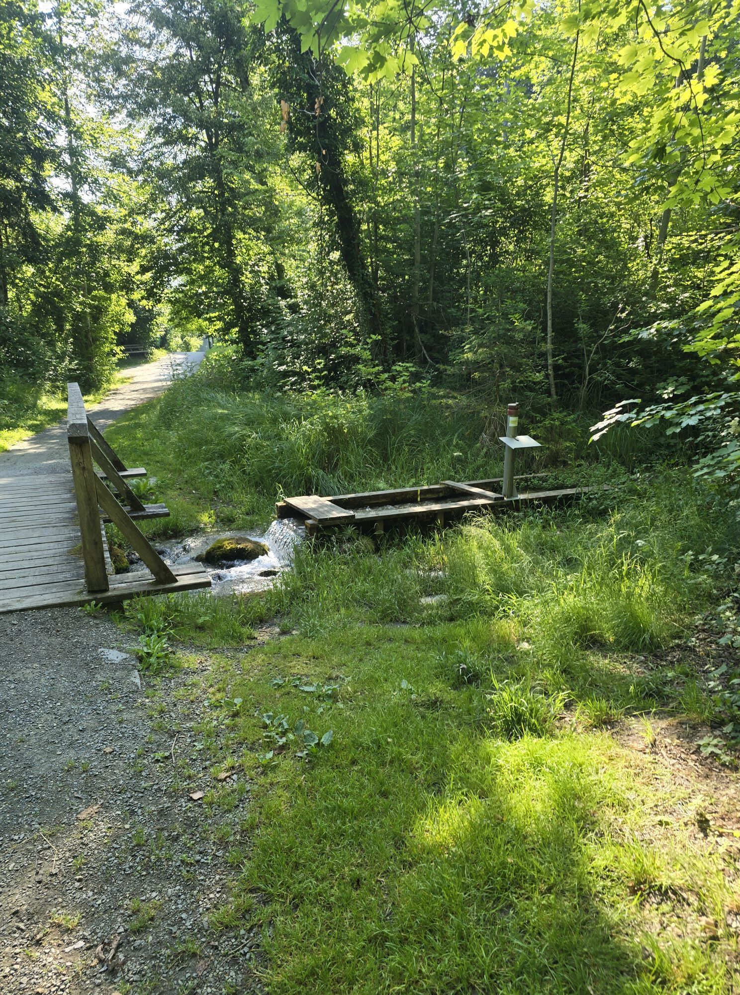
The hike starts in front of the Keutschach municipal office. The path now follows the road towards Lake Keutschach, passes through riparian forest areas, and runs along the edge of the forest past the moor tower to Baßgeigensee. On the bike path, it goes back to Dobeinitz and along the road returns to the starting point.
Ano
Ano
On L97 through the Keutschach four-lake valley
Bus 5316, stop Keutschach am See municipal office
Parking lot at Keutschach Castle
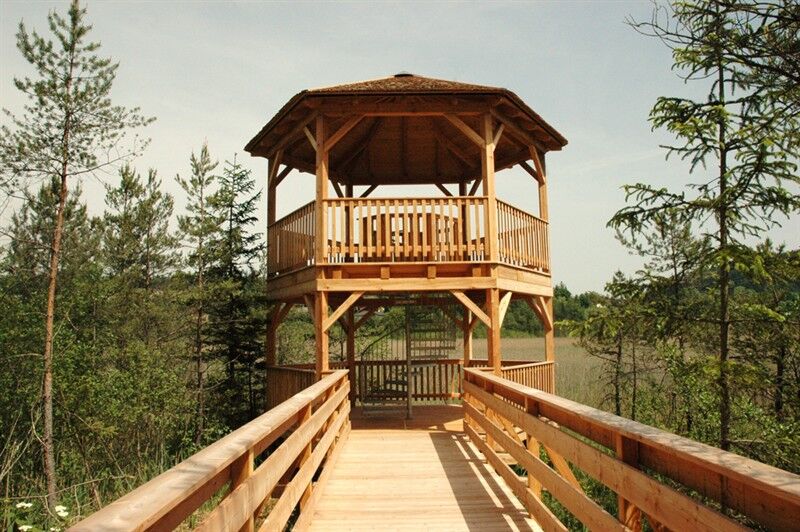
A special highlight is the wooden moor tower with a panoramic view in the middle of the wetland. It is accessible from the hiking trail by means of a wooden bridge.


Webové kamery z prohlídky
Získejte přehled
Vždy živě na místě s více než 9 500 webkamerami. bergfex Jako uživatel Pro si nyní můžete zobrazit odpovídající webové kamery pro mnoho prohlídek v aplikaci prohlídky z. Můžete si tak přímo prohlédnout aktuální podmínky.
Oblíbené prohlídky v okolí
-
3.9
Tscheppaschlucht Ferlach
světloTuristika 5.90 km -
4.1
MTB-Tour zur Klagenfurter Hütte
středníMountainbike 12.6 km -
5.0
Wörthersee EXTREM
heavyTuristika 60.1 km -
4.6
Pyramidenkogel path Maria Wörth
středníTuristika 10.8 km -
4.6
Hoher Gallin route
středníTuristika 7.09 km -
4.5
Slow Trail Meerauge
světloTuristika 5.25 km -
4.4
Cycling around Lake Wörthersee – leisurely cycling between turquoise blue water and fantastic views
středníJízda na kole 48.2 km -
4.3
Lake Wörthersee Circular Route
středníJízda na kole 41.2 km -
4.7
Zillhöhe
středníBěh 7.94 km -
4.7
Ogrisalm ab Bodenbauer, Kärnten/Österreich
světloLyžařská trasa 11.2 km
Pěší turistika a stopování


Nenechte si ujít nabídky a inspiraci pro vaši příští dovolenou
Vaše e-mailová adresa byl přidán do poštovního seznamu.





