


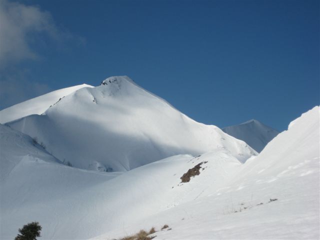
ST_N5 Hochwipfel (2,185 m)
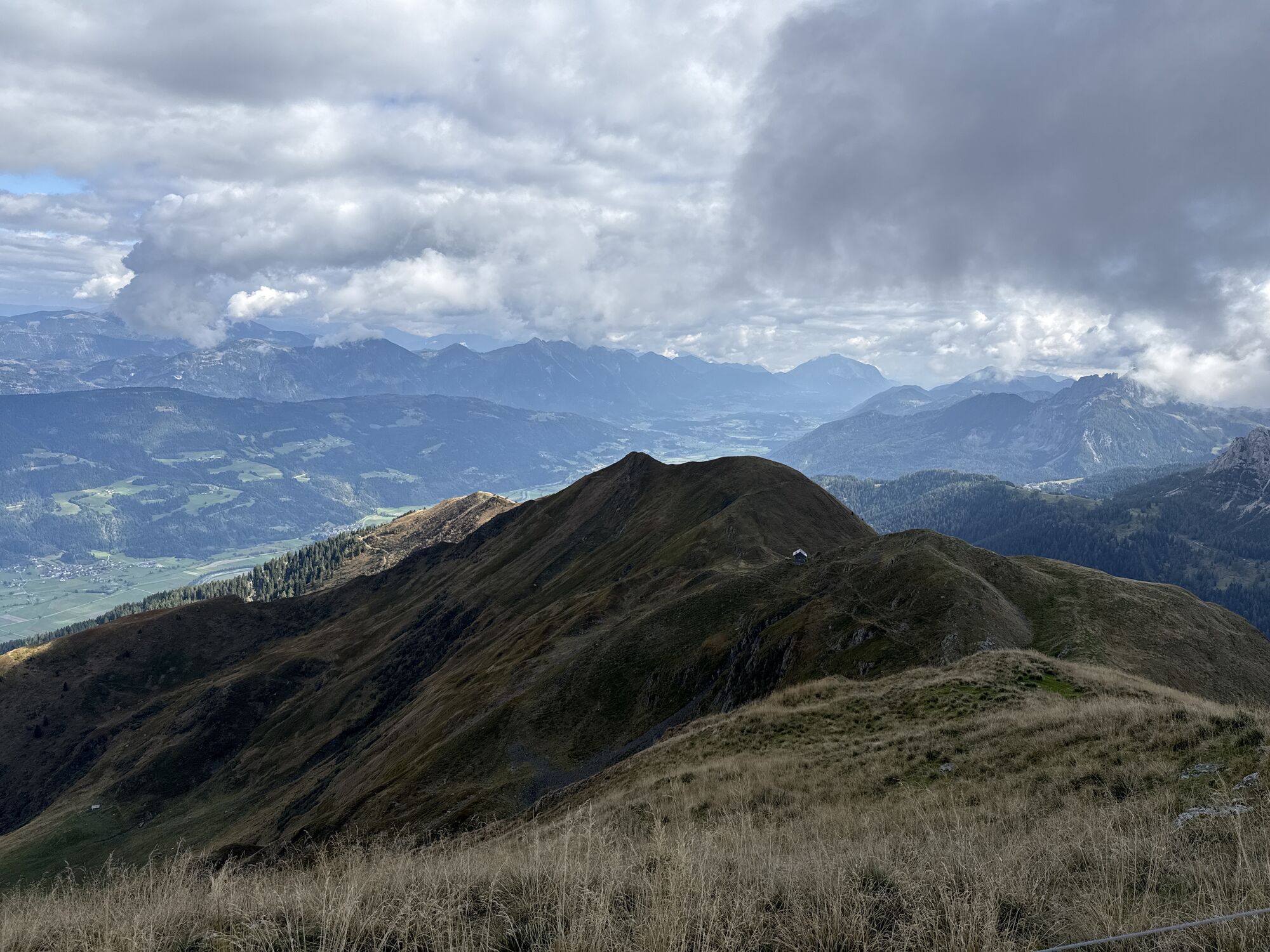
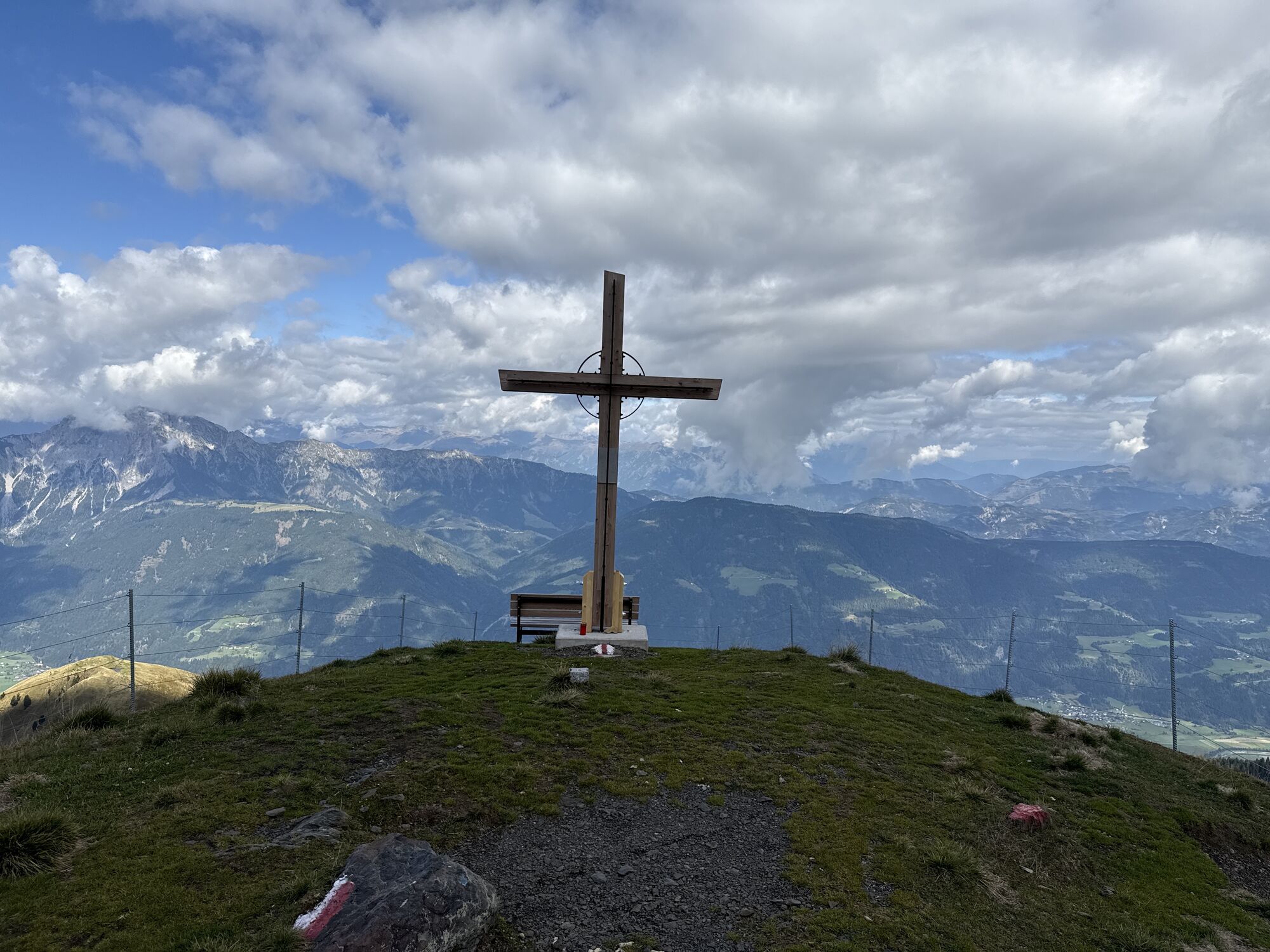
Your long ascent will be rewarded with a great, largely unrestricted view and a worthwhile descent.
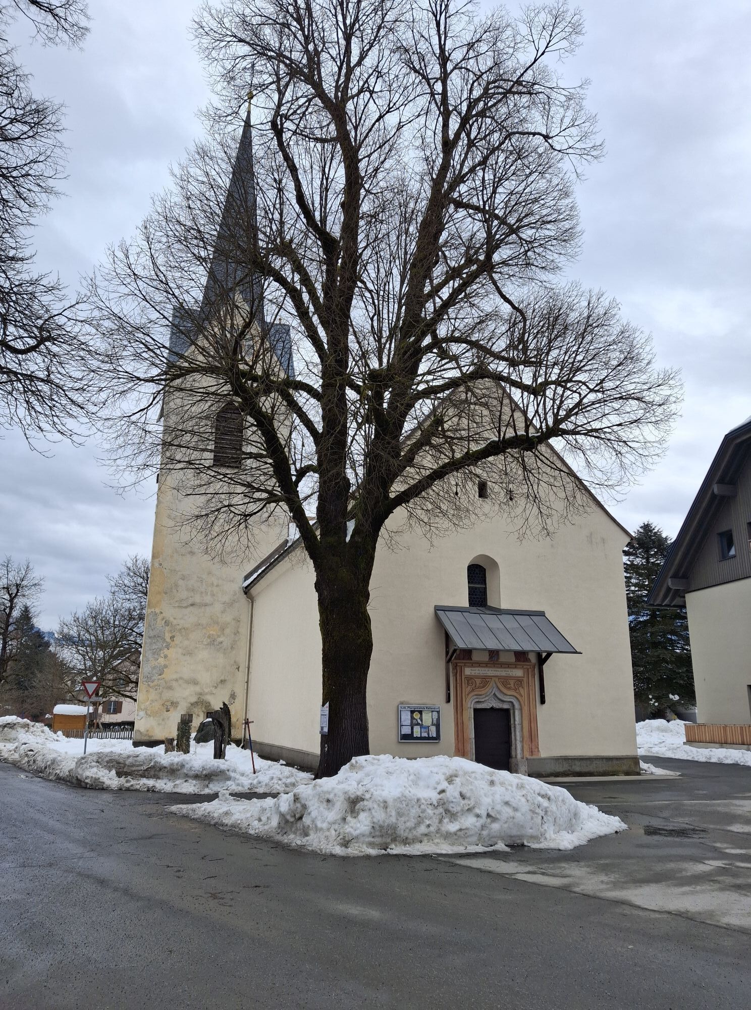
Starting from the cross-country skiing center or the village center of Rattendorf, follow the signs towards the Rattendorfer Alm or walk along the side road or the field path towards the Soldiers' Cemetery (south).
The route from here runs through numerous bends of the forest road through the forest to the flat area of the Rattendorfer Riegelalm.
You walk past the Alm and now have a steeper ascent to the Windschaufel ahead, before you then reach the Hochwipfel.
Descent:
The indicated time includes "only" the time required for the ascent, but not the descent. The descent, which is very rewarding up to the Riegelalm, is done via the same route as the ascent.
Awareness for nature – landowners – your health…. and safety on the mountain have the highest priority on your route and the associated planning!
Therefore, inform yourself about the rules of conduct before every ski route - Safety on the mountain, as well as current snow and avalanche reports Avalanche Warning Service Carinthia and the weather conditions.
Waste disposal:
Waste is not always avoidable – but it has no place in nature and must be disposed of properly (preferably in the valley or at home).
Emergency numbers:
European emergency number: 112 (accessible in every available network)
Mountain rescue Austria: 140
Arrival by car:
From Hermagor via the B111 (Gailtal Road) to Jenig – or from Oberdrauburg via the B110 (Plöckenpass Road) to Kötschach-Mauthen and from there further towards Hermagor (via the B111) to the village of Jenig.
In Jenig – turn at the gas station towards Rattendorf, onto the Rattendorf state road.
Public arrival:
The most sustainable way to arrive is by train to Oberdrauburg (coming from Lienz or Villach or Spittal). From Oberdrauburg you then reach the town of Kötschach-Mauthen by bus. Here you change to another bus towards Hermagor, getting off at the Rattendorf station.
Another option is to take the train from Villach to Hermagor and then change in Hermagor to the bus towards Kötschach-Mauthen (your stop is called Rattendorf).
Details at - Mobility info Nassfeld and Route planner Kärntner Linien
There are a limited number of free parking spaces in the center of Rattendorf and at the cross-country skiing center.
Please observe possible parking instructions from the property owners as well as the applicable legal regulations.
You can find this and many other infos at - Route tips and provider info
There are year-round open places to eat in the center of Rattendorf - details at Service A-Z.
The ski route is mostly moderately difficult, but due to the overall distance and the steep ascent to the Windschaufel, there is a significantly higher overall demand.
Oblíbené prohlídky v okolí
-
5.0
RW_N9 Weißenbachklamm
středníTuristika 7.49 km -
4.6
W5 - Naggler Alm Round Weissensee
středníMountainbike 15.8 km -
4.9
Weißenbachklamm
heavyTuristika 5.80 km -
4.1
Malurch Nassfeld
středníTuristika 9.60 km -
4.4
WY_W2 hike to the Alm behind the Brunn
středníZimní turistika 3.04 km -
5.0
ST_N7 Gartnerkofel (2,195 m)
Lyžařská trasa 3.94 km -
4.8
Weiße Wand - Alm hinterm Brunn
Mountainbike 22.1 km -
4.9
W14 - Gold route
heavyMountainbike 64.8 km -
4.4
Bergstation Weißensee bis Golz
středníTuristika 14.8 km -
4.8
LS_W7 "Promenade Path"
světloBěh 6.28 km

Pěší turistika a stopování


Nenechte si ujít nabídky a inspiraci pro vaši příští dovolenou
Vaše e-mailová adresa byl přidán do poštovního seznamu.