






ST_N6 Poludnig (1,999 m)
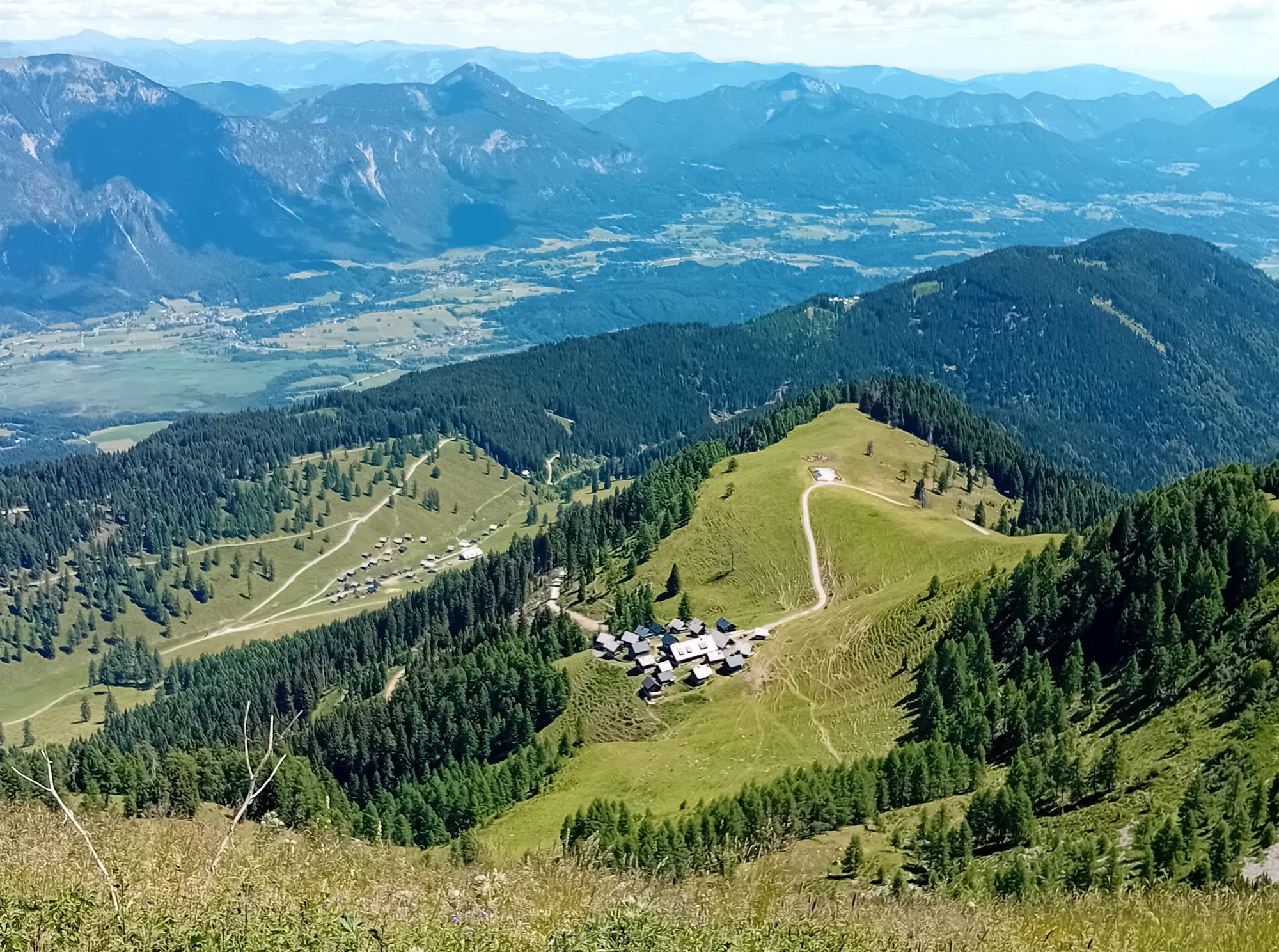
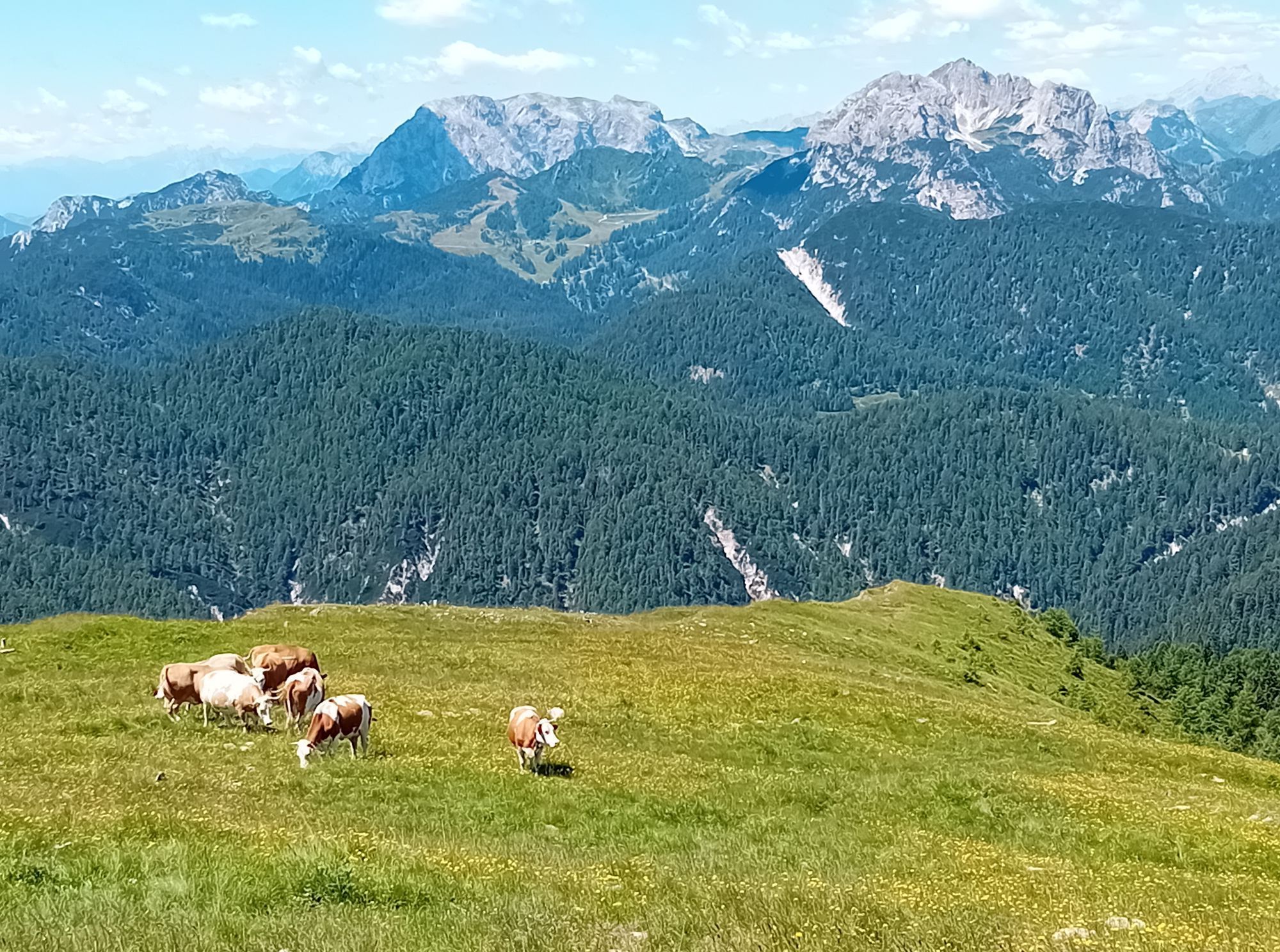
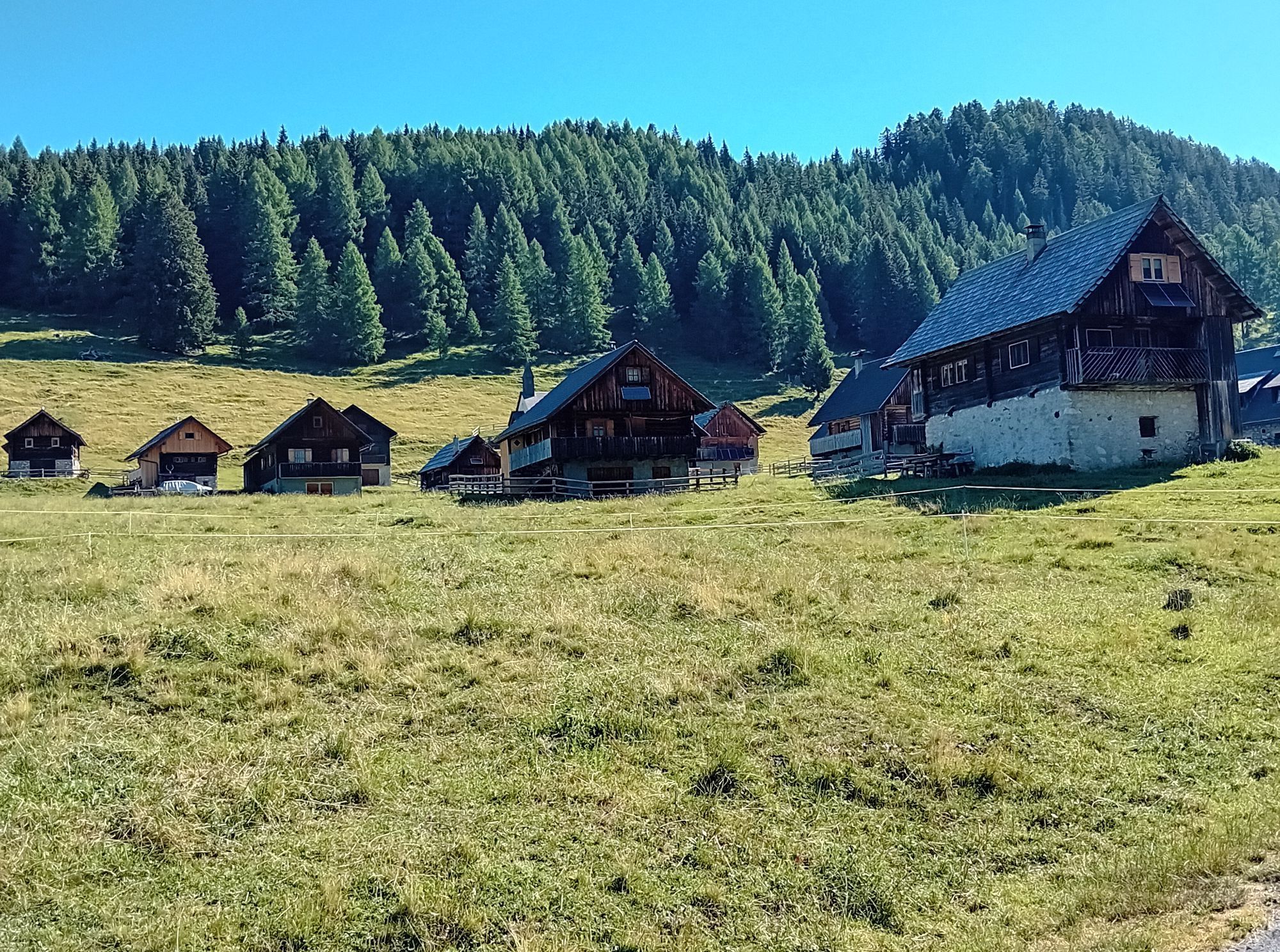
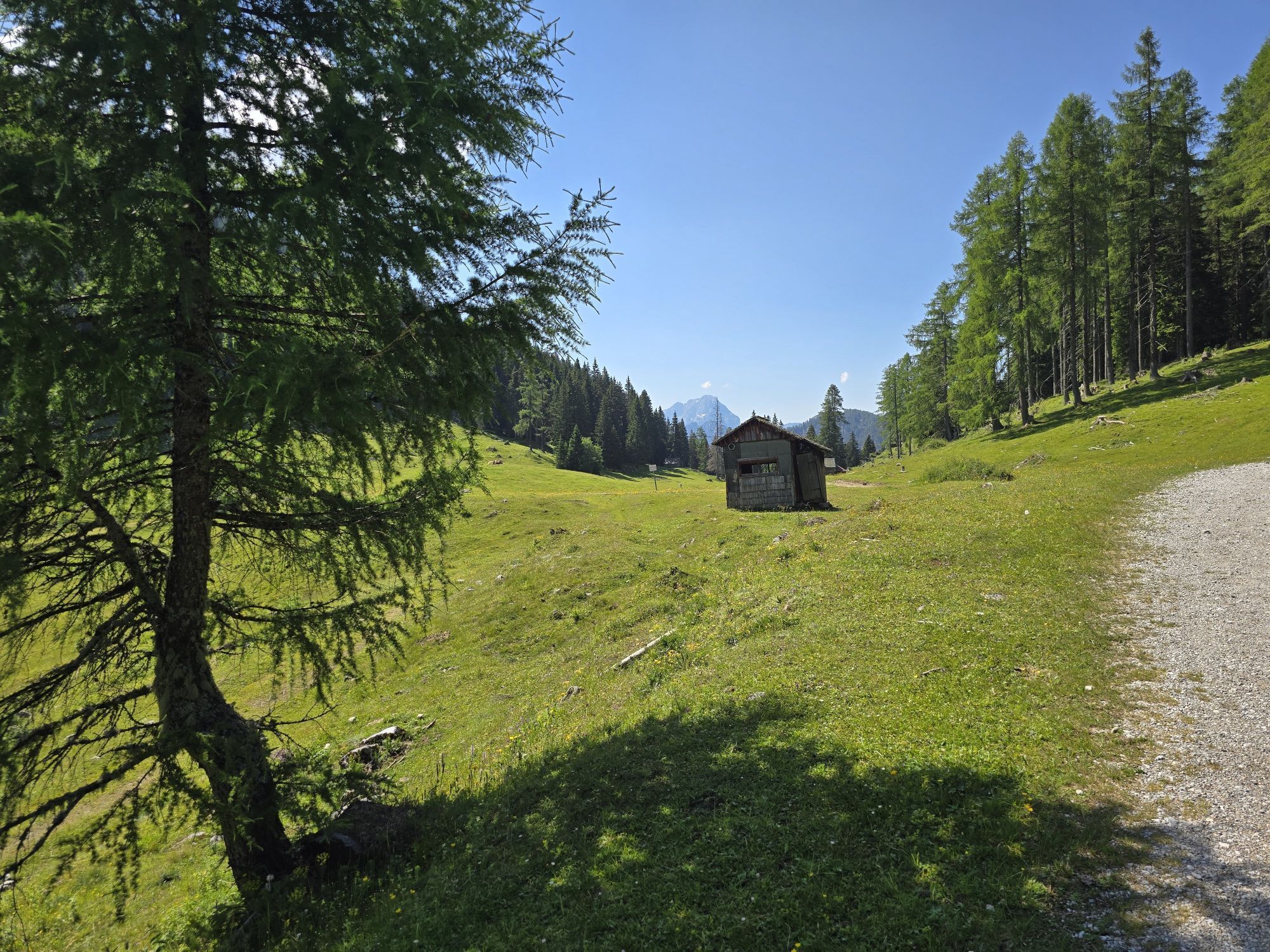
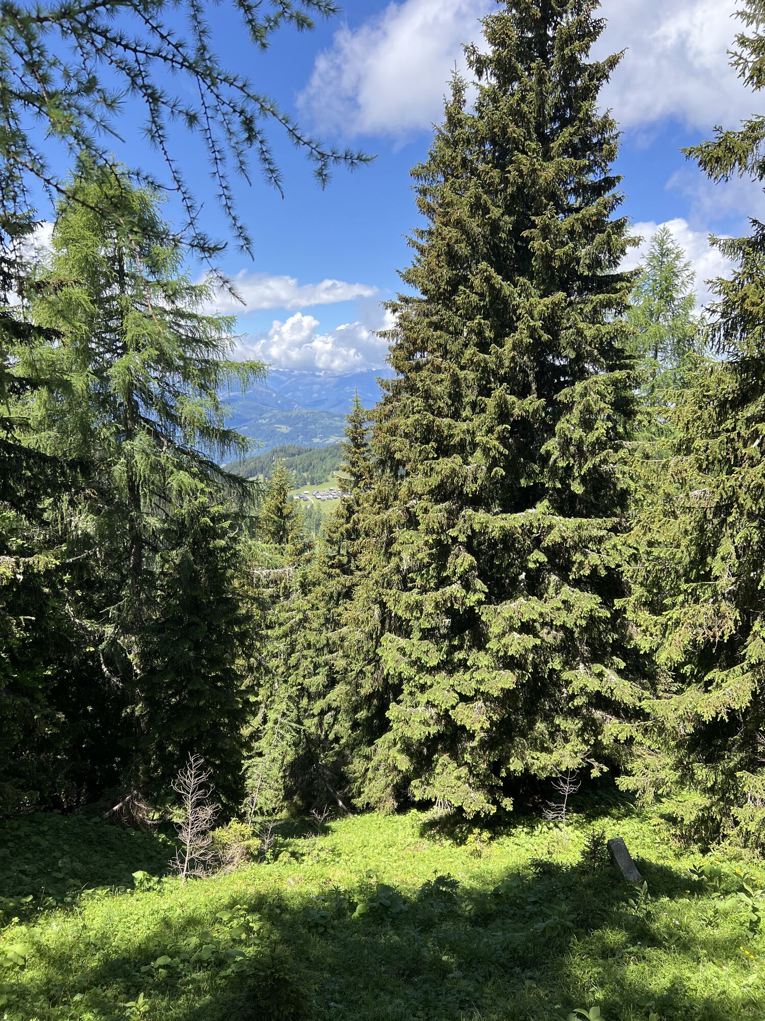
Icy winter trees, idyllic alpine huts, breathtaking panoramic views – all this and much more awaits you on this rewarding ski route, which is also very suitable for slightly advanced beginners – from the...
Icy winter trees, idyllic alpine huts, breathtaking panoramic views – all this and much more awaits you on this rewarding ski route, which is also very suitable for slightly advanced beginners – from the starting point to the Egger Alm.

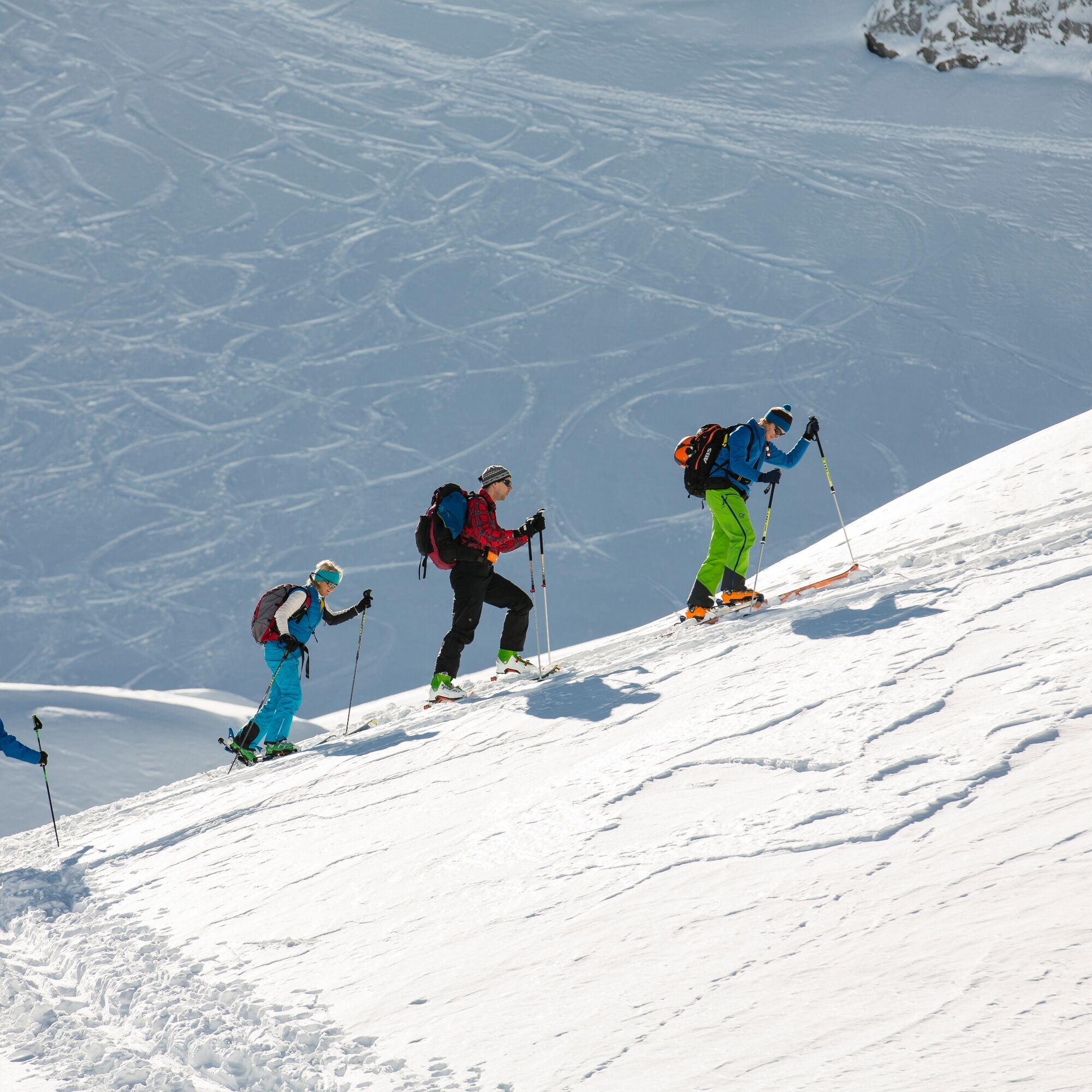

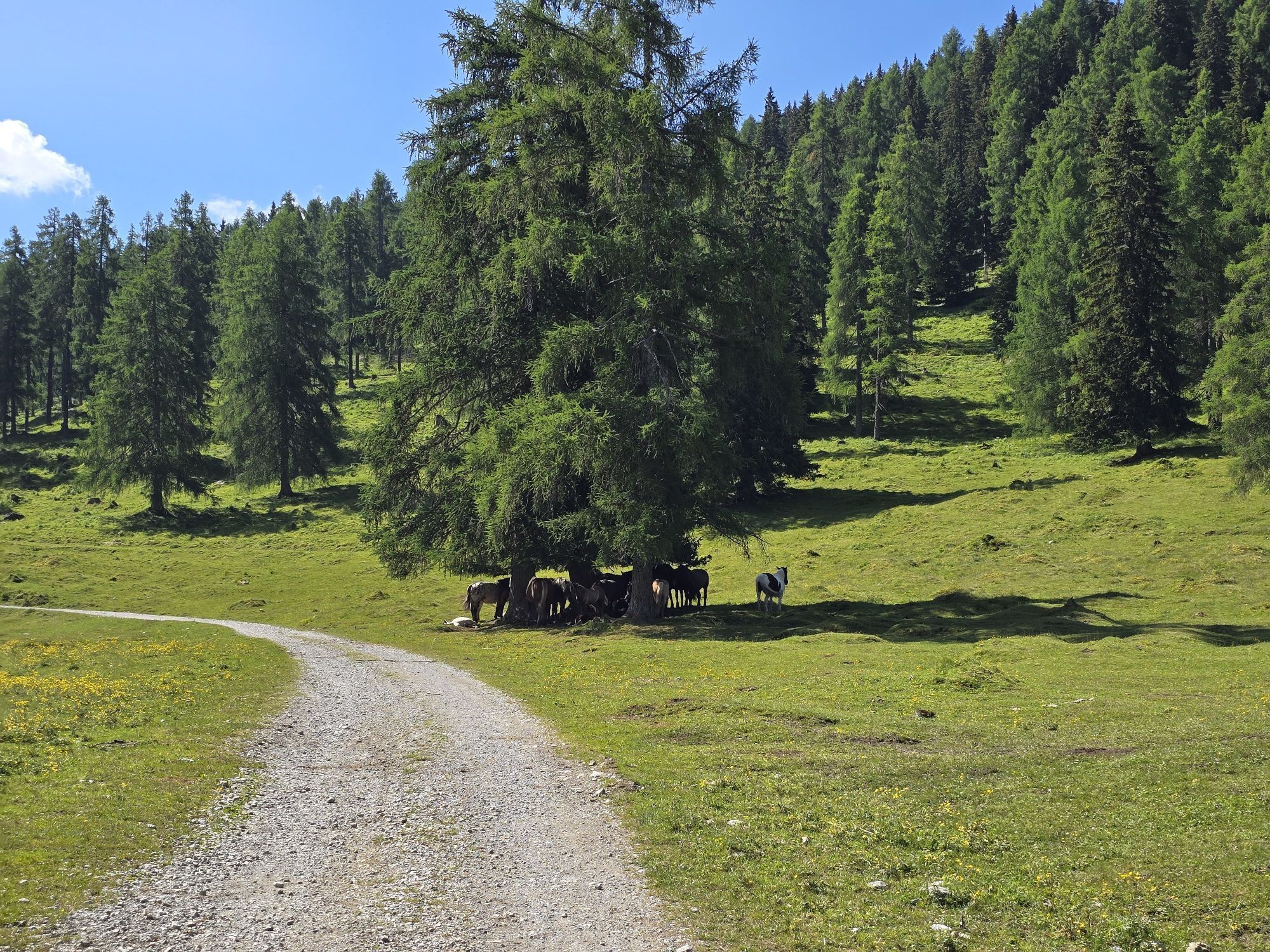
Starting directly from the Garnitzenklamm parking lot, the route leads uphill through numerous hairpin bends of the (prepared) road through the forest.
Depending on snow conditions and respecting the wildlife (dusk, etc.), some pathless shortcuts (mostly along the summer trail) through the often very wide hairpin bends through the forest are also possible (see track).
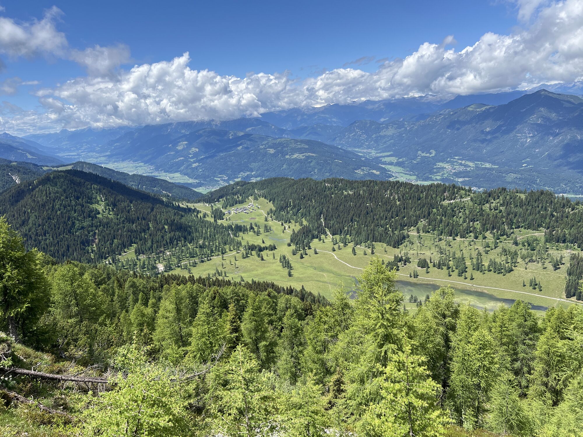
Both the more direct ascent option via the road and the route option via the shortcuts ultimately lead you to the wide, flat areas of the Egger Alm. Here you turn off from the Egger Alm road and continue gently ascending through the forest clearing along the forest road to the Schlosshüttensattel directly on the border.
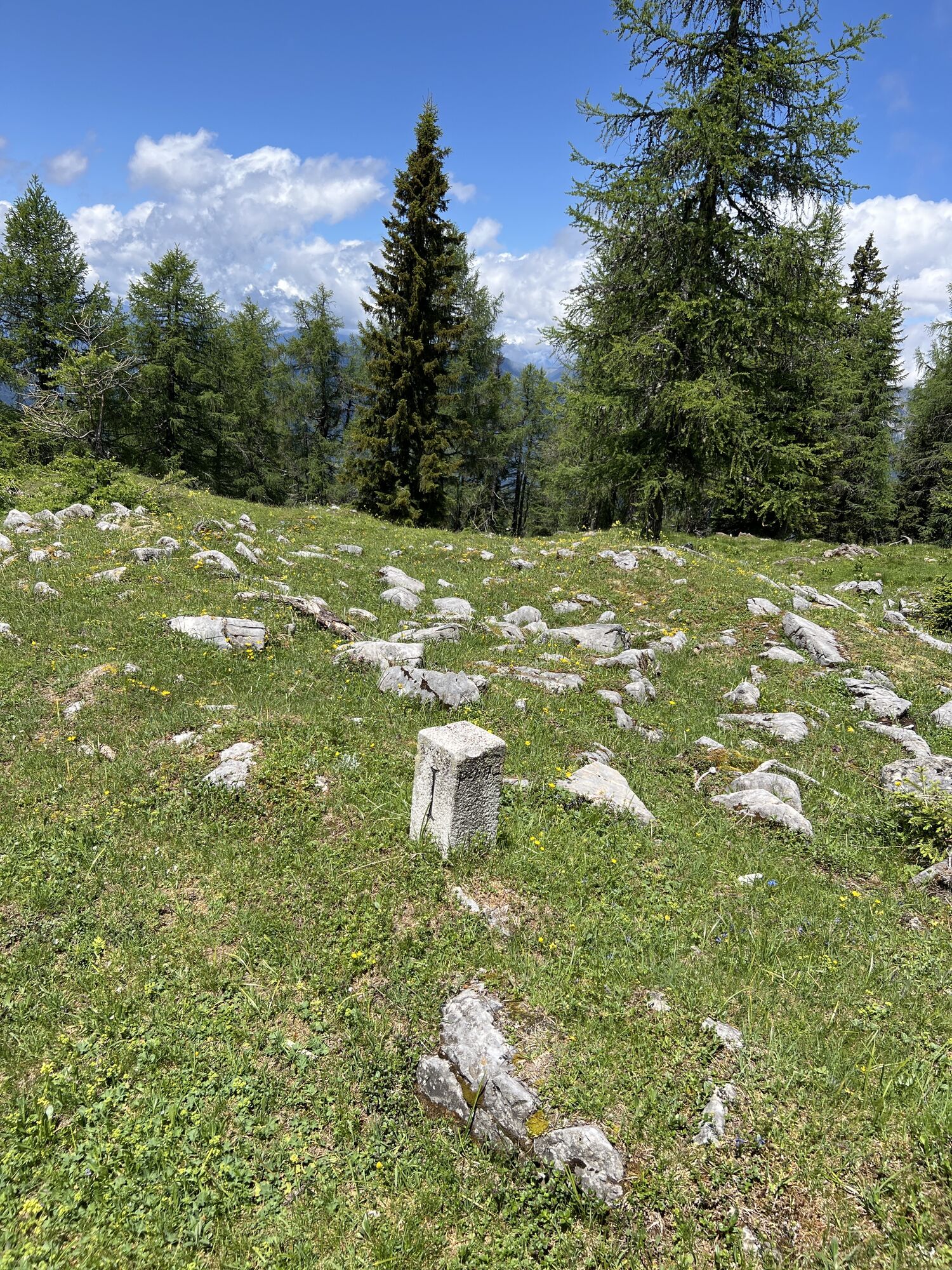
The further route, partly on the Austrian and partly on the Italian side, changes its character from here. The mostly well-followable, marked trail leads uphill over narrower, steeper and partly wider, somewhat gentler inclines, mostly through the forest following the course of the ridge.
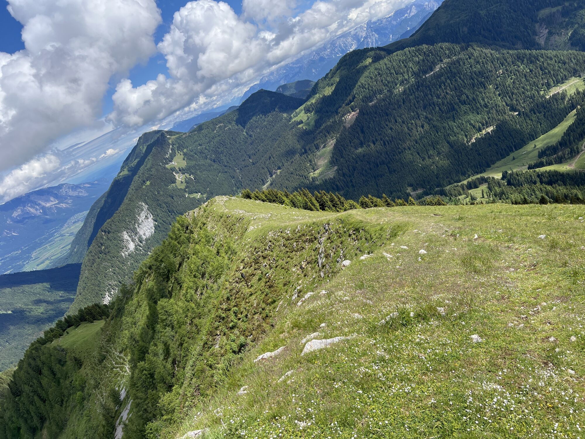
At an extremely distinctive steep rise, the ridge becomes partly narrow and steep ridge, before finally widening again and leading gently ascending to the summit.
Descent:
The stated time only includes the time required for the ascent, not for the descent (the descent is made via the same route as the ascent).
An alternative option (only in absolutely secure conditions and with the necessary prior experience regarding assessment and riding skills) for absolutely experienced off-piste riders is the descent through the north gully.
Ano
Awareness for nature – landowners – your health... and safety on the mountain have the highest priority on your route and the associated route planning!
Therefore, before every ski route, find out about the rules of conduct - Safety on the Mountain, as well as the current snow and avalanche report Avalanche Warning Service Carinthia and the weather conditions.
Waste disposal:
Waste is not always avoidable – but it has no place in nature and must be disposed of properly (preferably in the valley or at home).
Emergency numbers:
European emergency number: 112 (accessible on every available network)
Austrian mountain rescue: 140
The most sustainable way to travel is by train to Hermagor (coming from Villach) or by bus from Kötschach-Mauthen to Hermagor and then changing to the bus to Möderndorf in Hermagor.
However, note that from the bus stop in Möderndorf to the Garnitzenklamm parking lot, there is an additional approx. 1.5 km walk along a wintery road to reach the starting point of the route.
Details at - Mobility info Nassfeld and Planner Kärntner Linien
Car travel:
Coming from Hermagor or Kötschach-Mauthen, turn off near the Hermagor town sign (towards Kötschach-Mauthen) onto the state road Egger Alm (towards Möderndorf). Follow the road to Möderndorf or to the Garnitzenklamm parking lot.
Free parking is available at the starting point (Garnitzenklamm parking lot).
You will find this and many other pieces of information at - Route tips and provider information
Places to eat:
In the town center of Hermagor and in the surrounding villages (Micheldorf, Egg...) there are numerous year-round open dining options – details under Service A-Z.
On some winter days there is also a dining option at the "Gasthaus zum Rudi" (directly on the Egger Alm).
The ascent is moderately difficult - a short section on the ridge is more demanding.
Due to the overall difficulty, the route as a whole is not a beginner route
Beware of cornice drifts in the summit area
A Ski-Doo transport (by the hut keeper) to the Egger Alm is possible with prior registration
 Získejte přehled
Vždy živě na místě s více než 9 500 webkamerami. bergfex Jako uživatel Pro si nyní můžete zobrazit odpovídající webové kamery pro mnoho prohlídek v aplikaci prohlídky z. Můžete si tak přímo prohlédnout aktuální podmínky.
Získejte přehled
Vždy živě na místě s více než 9 500 webkamerami. bergfex Jako uživatel Pro si nyní můžete zobrazit odpovídající webové kamery pro mnoho prohlídek v aplikaci prohlídky z. Můžete si tak přímo prohlédnout aktuální podmínky.
Oblíbené prohlídky v okolí
-
4.9
W10 - Large lake round - Weissensee
heavyMountainbike 31.5 km -
4.8
Tarvisio - Venzone (C101)
středníCyklistika na velkou vzdálenost 64.7 km -
4.8
RW_N9 Weißenbachklamm
středníTuristika 7.49 km -
4.7
W5 - Naggler Alm Round Weissensee
středníMountainbike 15.8 km -
4.9
Weissensee Ost- nach Westufer
světloTuristika 10.2 km -
5.0
Bodenalm - Ostufer - mit dem Schiff zurück
Mountainbike 19.1 km -
4.9
Weißenbachklamm
heavyTuristika 5.80 km -
4.2
Slow Trail Pressegger See RW_N16
světloTuristika 5.78 km -
4.2
Malurch Nassfeld
středníTuristika 9.60 km -
4.6
ST_N7 Gartnerkofel (2,195 m)
Lyžařská trasa 3.94 km
Pěší turistika a stopování


Nenechte si ujít nabídky a inspiraci pro vaši příští dovolenou
Vaše e-mailová adresa byl přidán do poštovního seznamu.





