







Ski tour Falkert
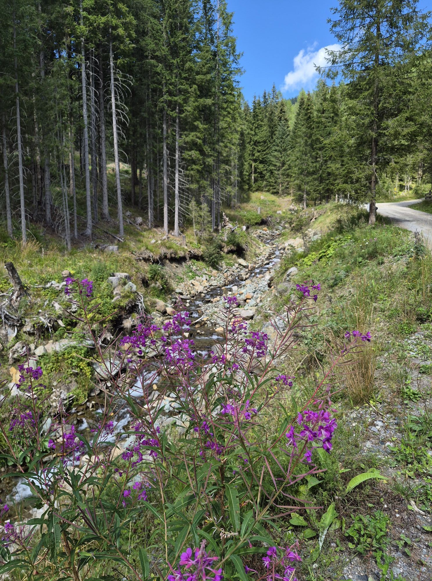
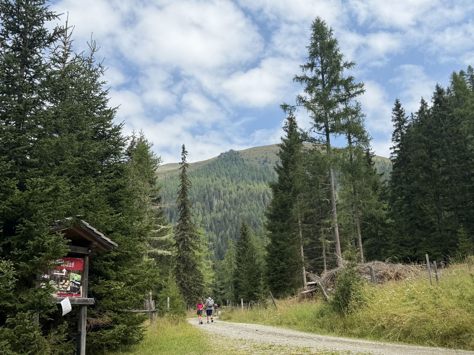
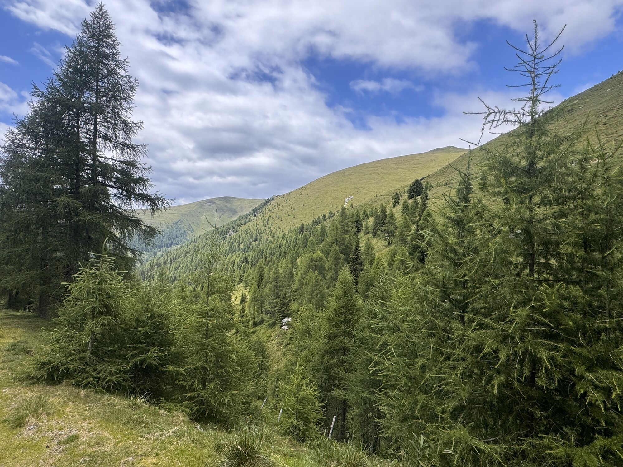
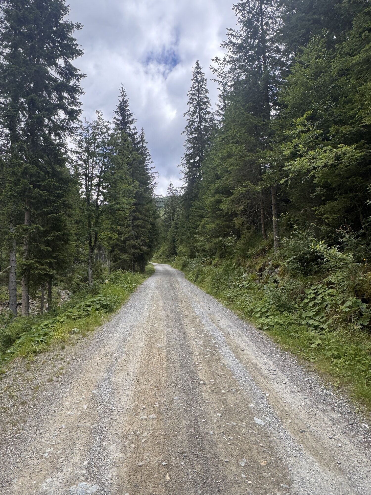
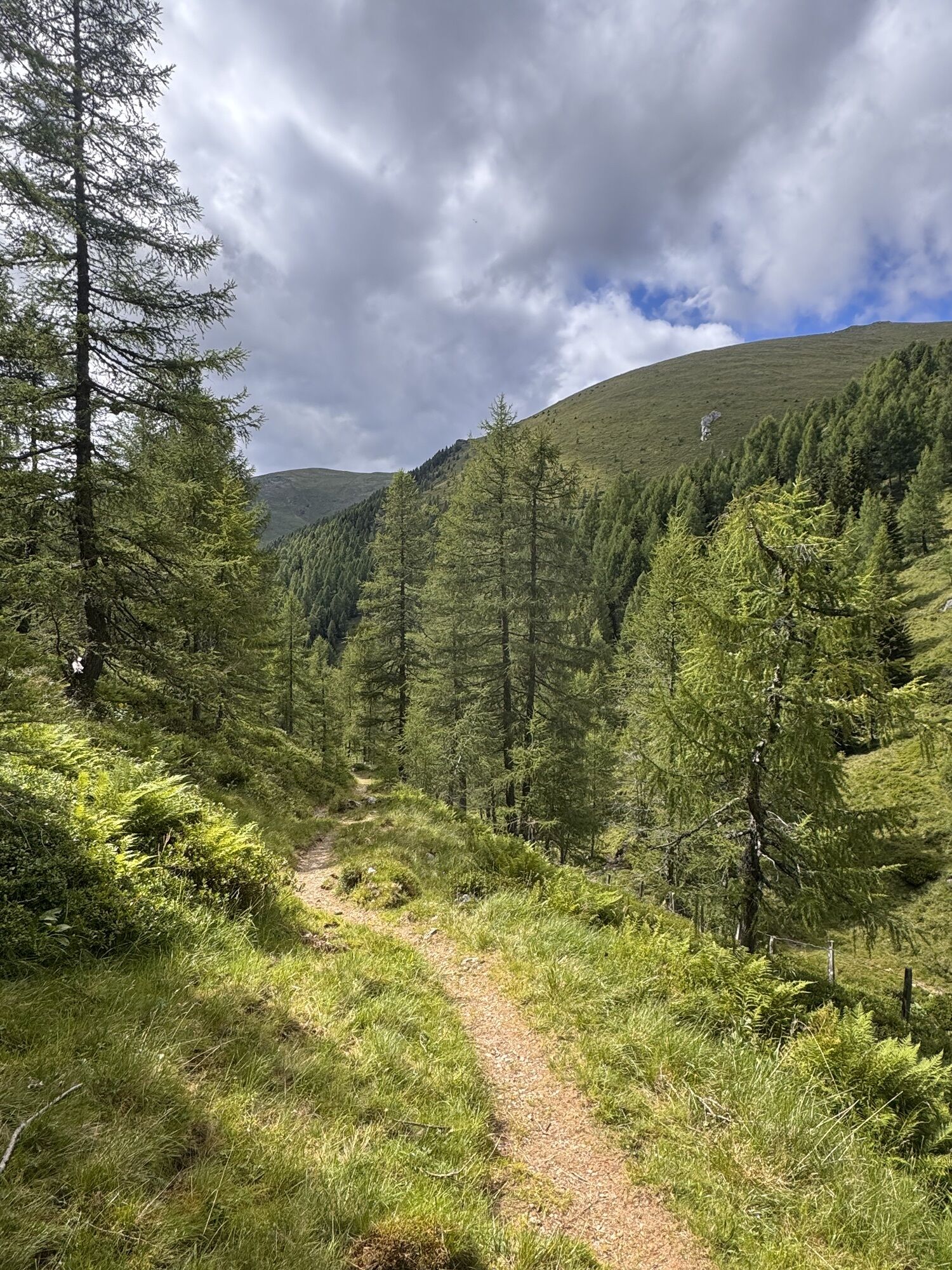
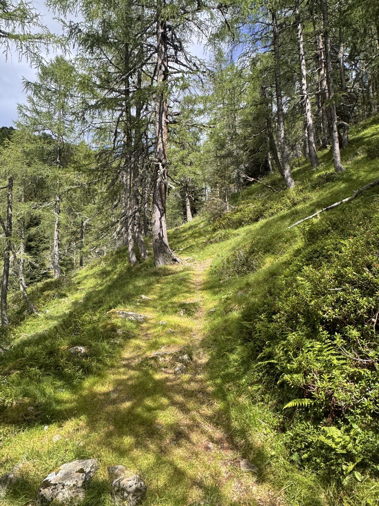
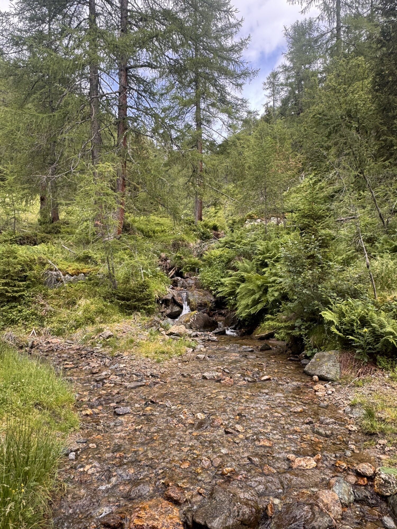
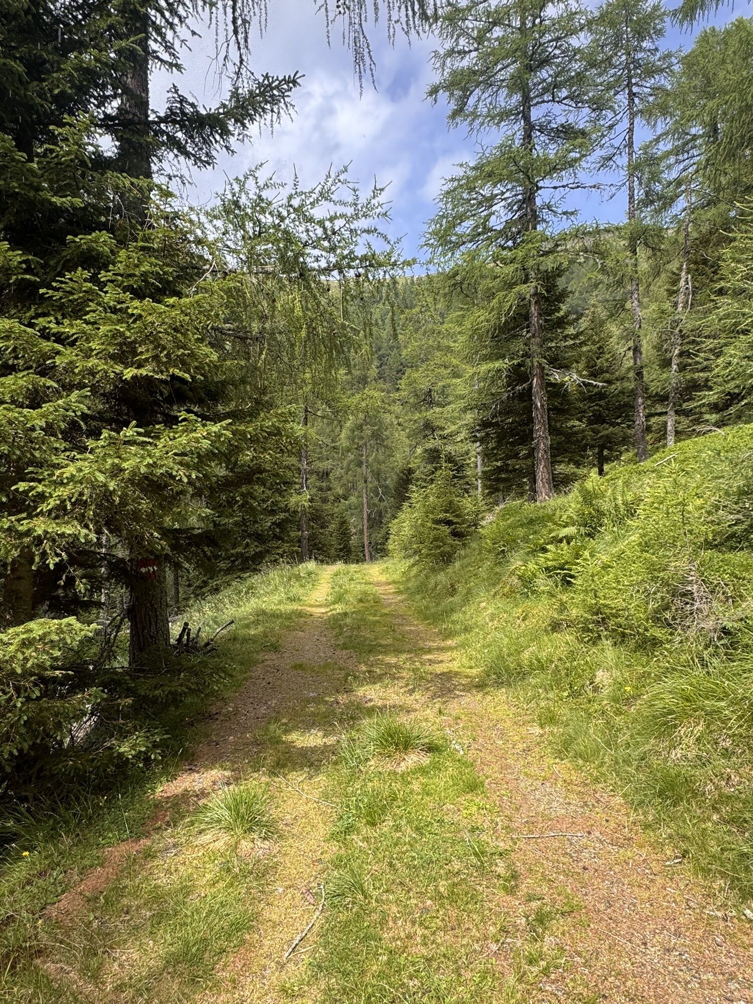
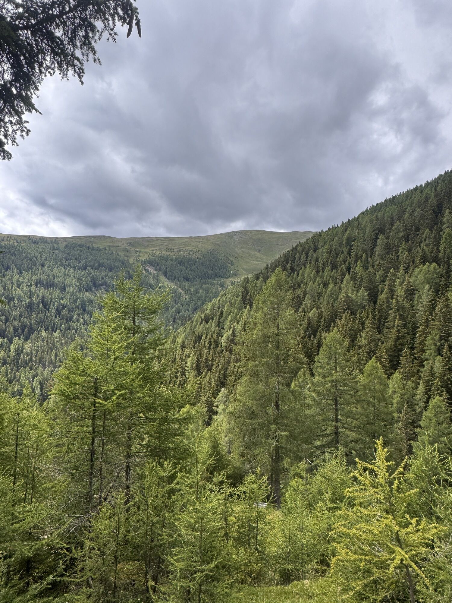
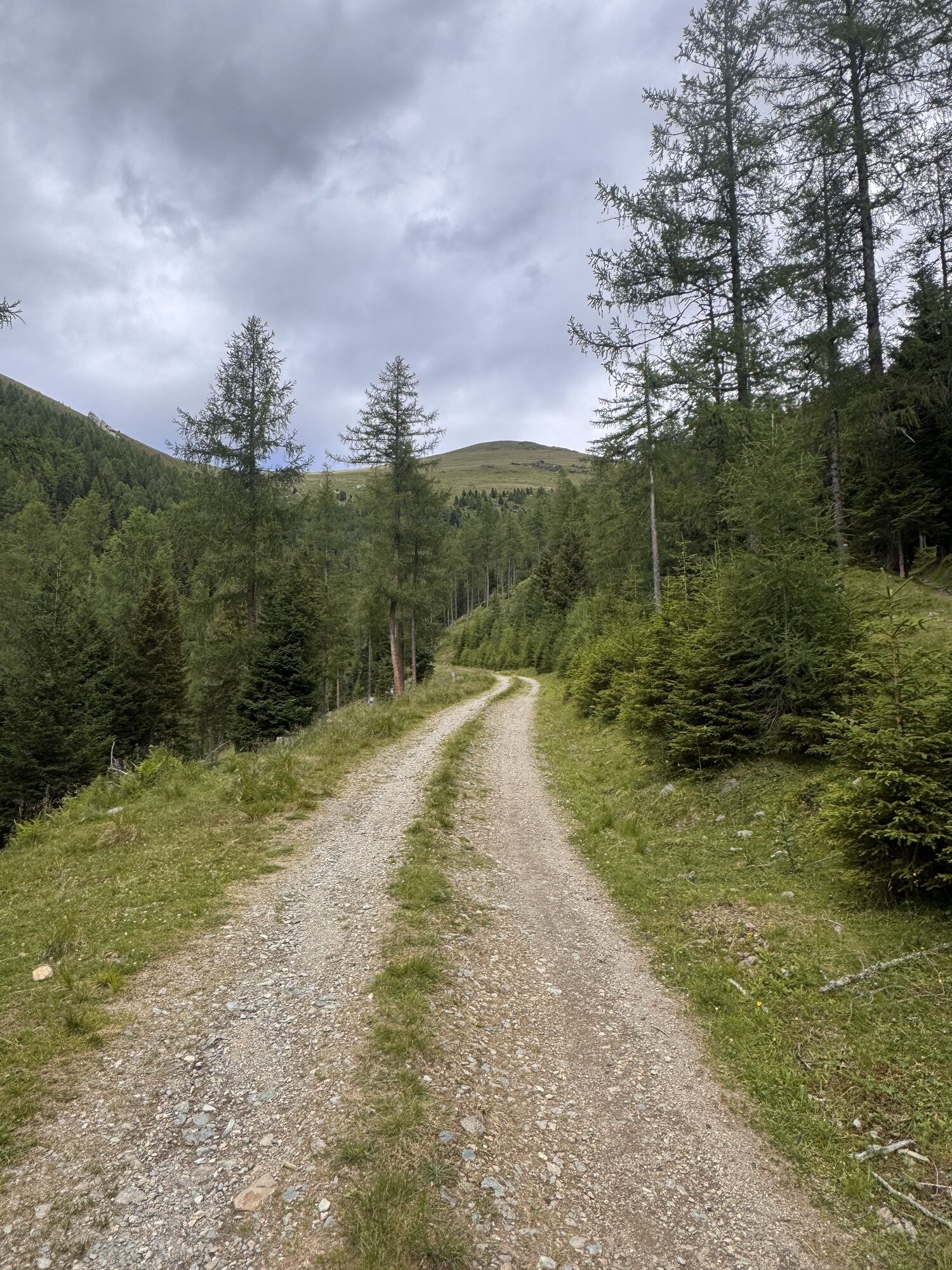
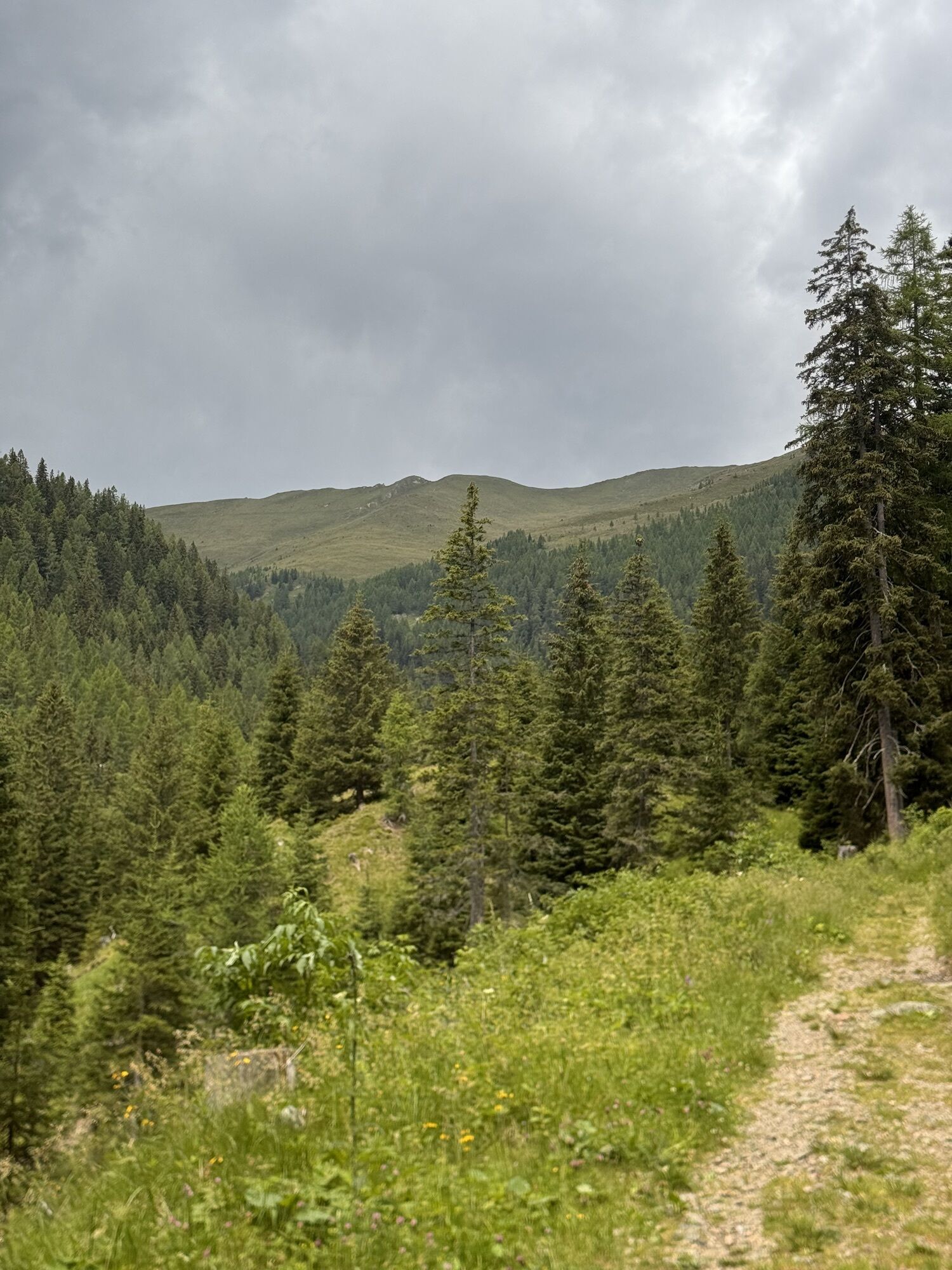
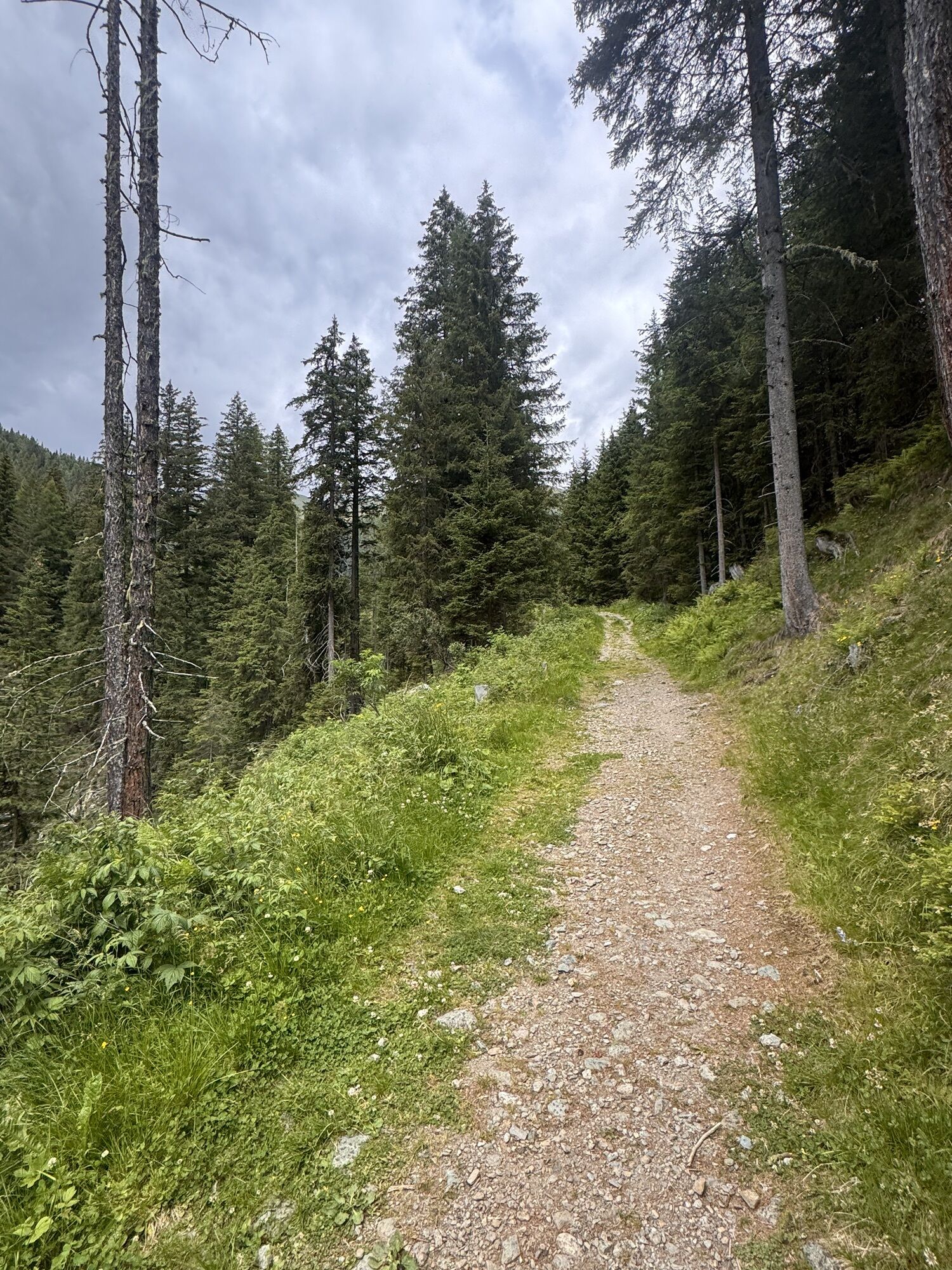
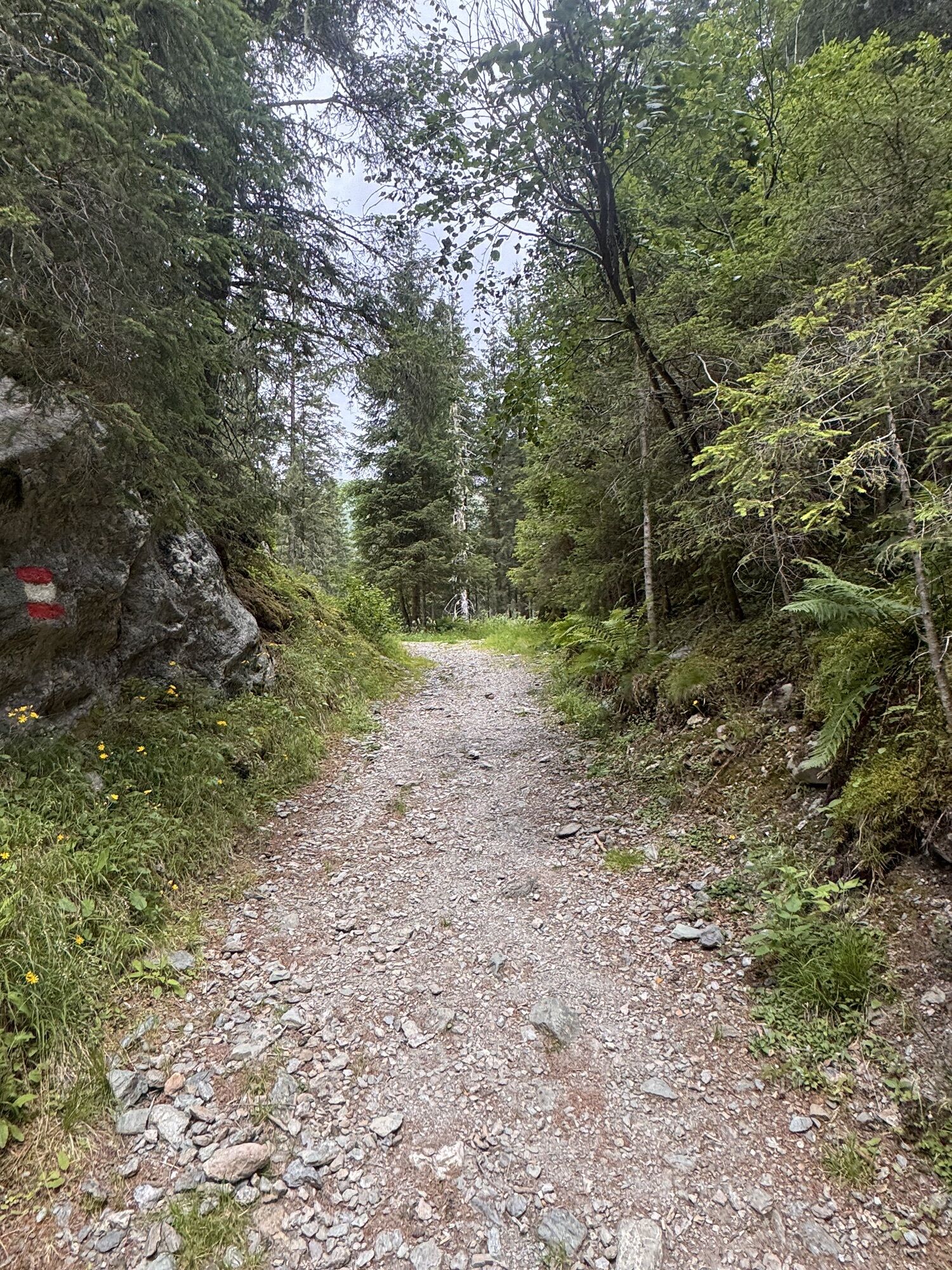
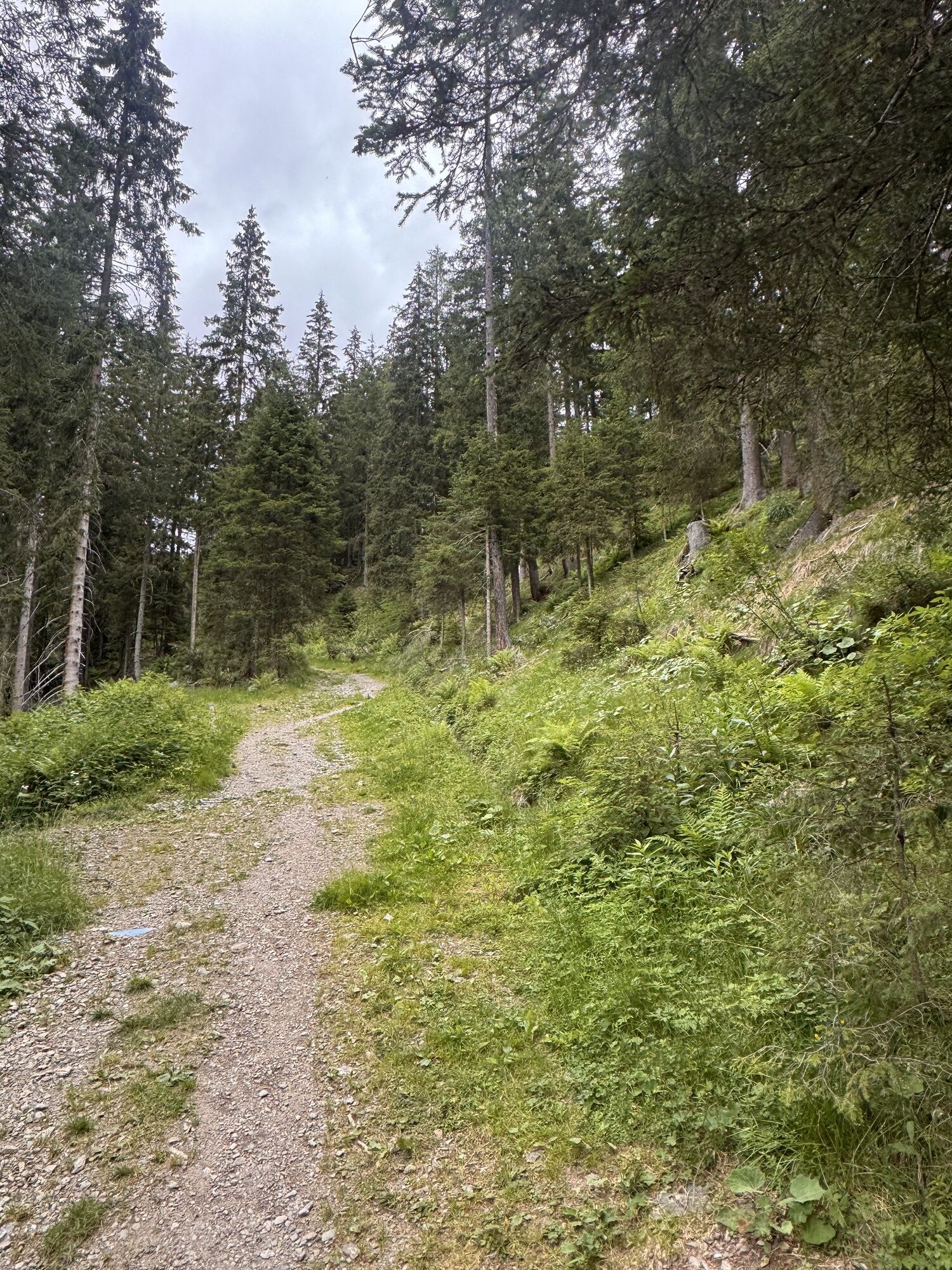
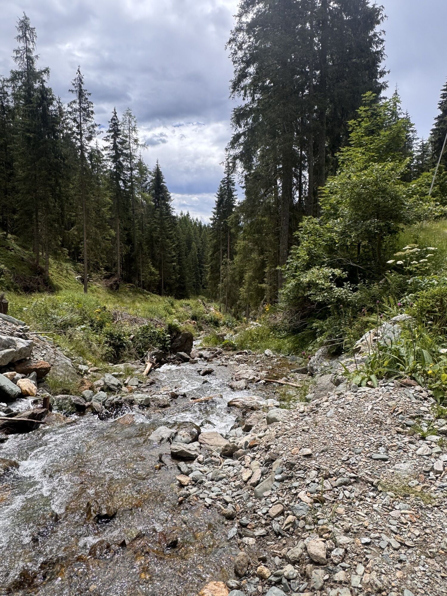

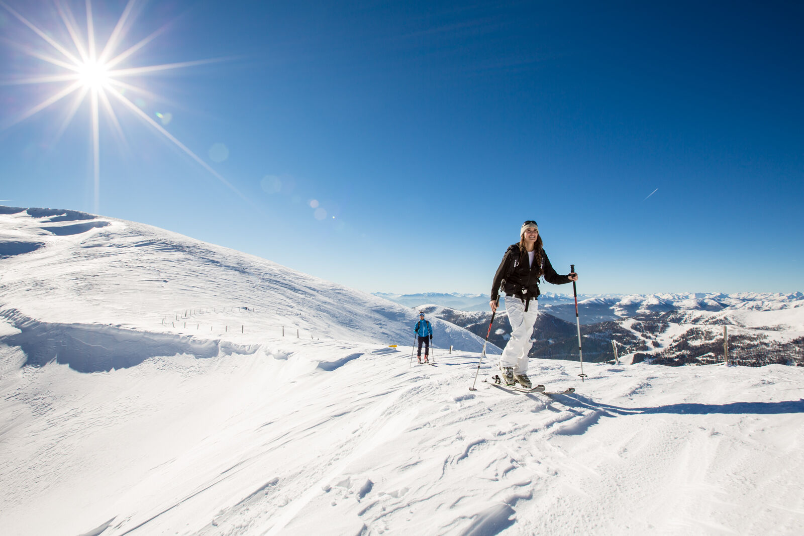
Because of the ascent via the forest road, this route is often possible even with low snow conditions in the valley. In the treeless terrain, magnificent slopes await the ski tourer.

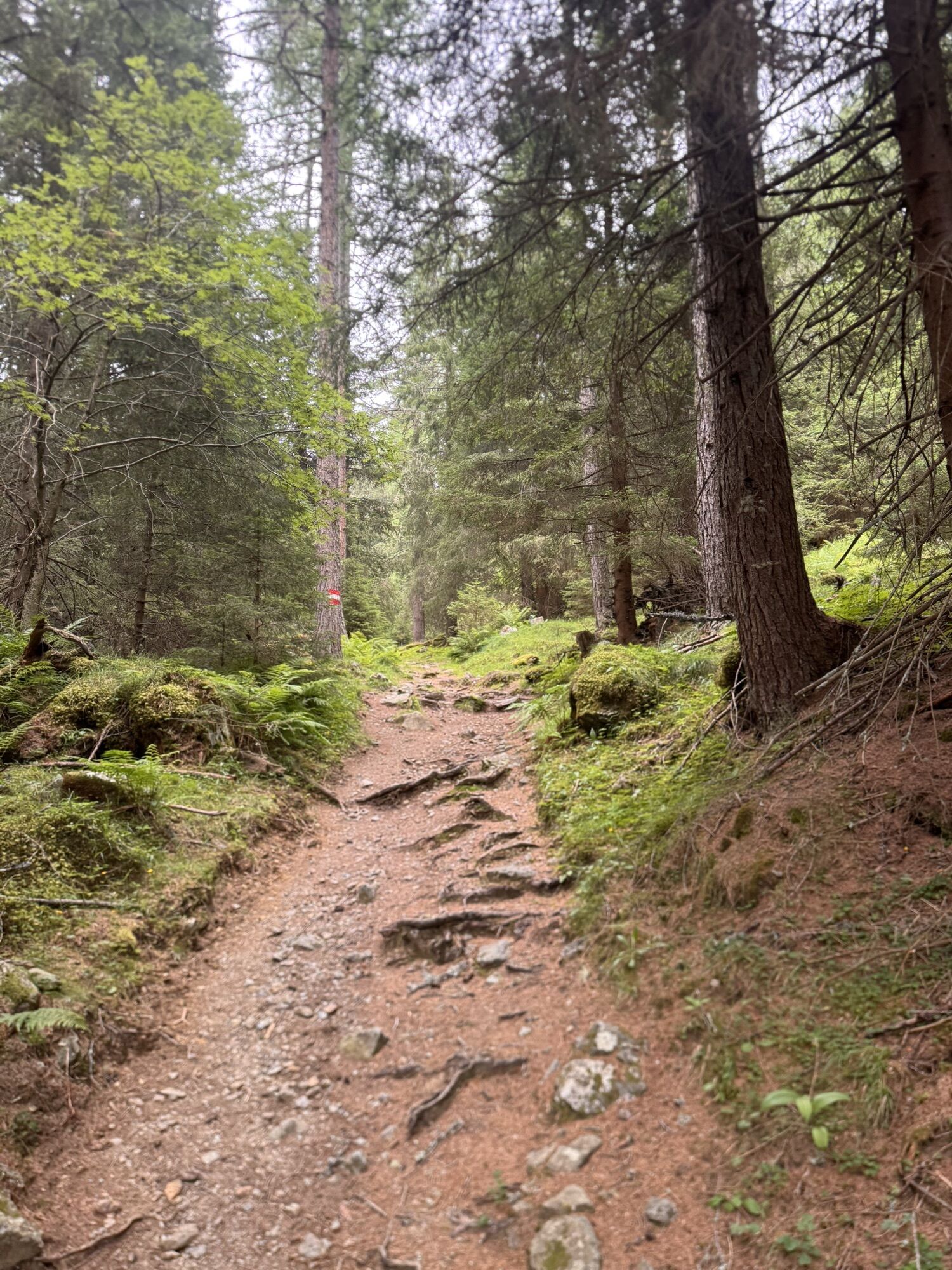
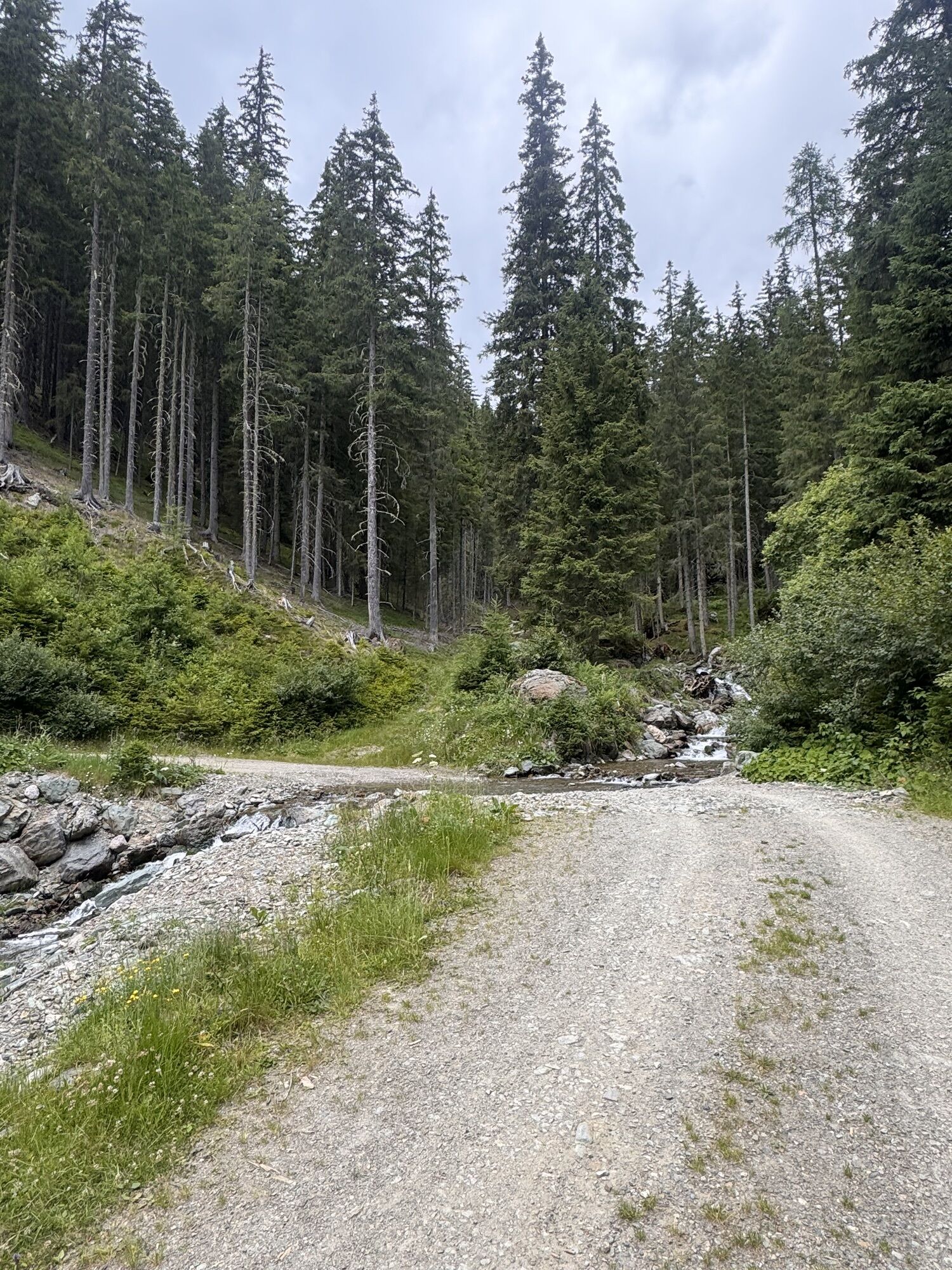
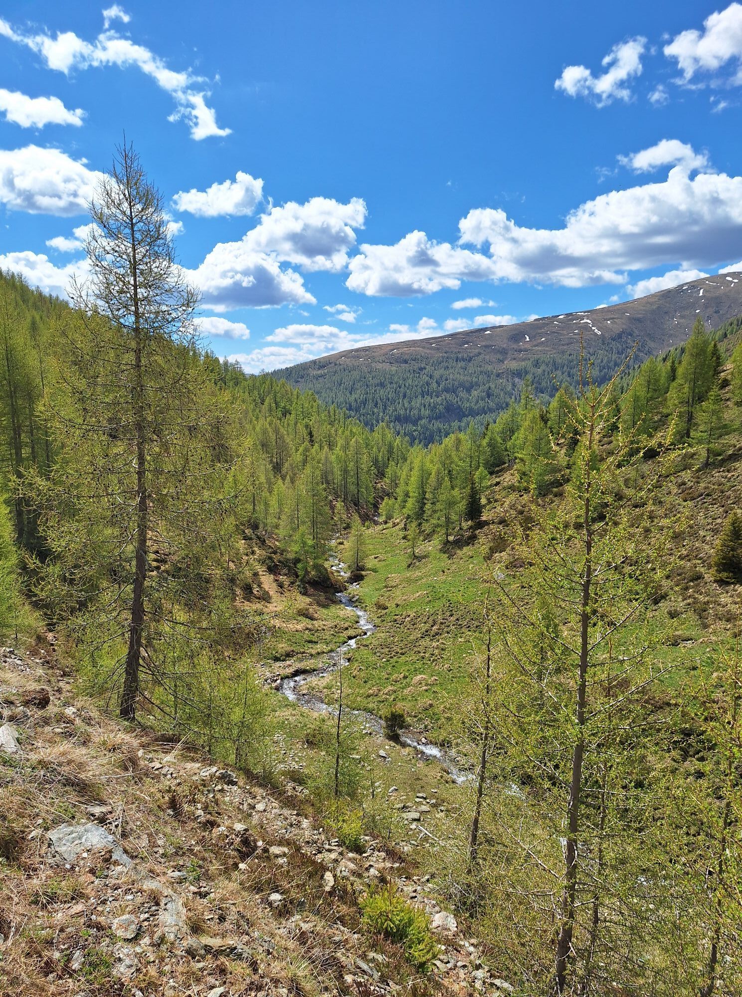
From the parking lot, follow the forest road or the marked summer path north towards Falkerthaus. At about 1520m, you reach a distinctive leveling. Now turn right (northeast) along the marked summer path (crossing the forest road several times) uphill to the Larch Hut (~1650m). In a wide curve, you leave the hut area and enter the Hundsfeldgraben, where it gently ascends steadily eastward. At around 1850m, you reach open terrain and a few minutes later the Hundsfeld huts (not serviced). Over open (sometimes windblown) areas, continue uphill (south) to the Tanzboden and from there east over the top station of the Falkert lift onto the Falkert. The last meters to the highest point are often windblown and therefore only accessible on foot.
Ano
Take safety equipment on every ski tour (avalanche transceiver, avalanche shovel, avalanche probe, airbag backpack, first aid, etc.)
Inform yourself about the avalanche situation for the respective area. http://www.ktn.gv.at/143241_DE
Avalanche Warning Service Carinthia
Flatschacherstraße 70
9020 Klagenfurt
Tel.: 0664/6202229
Tel.: 050/536-18312
Fax: 050/536-18300
Answering machine: 050/536-1588
Beware of cornices in ridge-near areas.
From Bad Kleinkirchheim, go to St. Oswald and there past the valley station of the Biosphere Park Railway Brunnach to the start of the forest road to Falkerthaus / the Larch Hut.
- by postbus to the valley station of the Biosphere Park Railway Brunnach
- by ski bus to the valley station of the Biosphere Park Railway Brunnach
Parking options at the beginning of the forest road
www.lawine-kaernten.at
www.biosphaerenparknockberge.at
www.seeundberg.at/abseits-der-pisten/skitouren
On the trail in the Nock Mountains
Plan your time properly! Only during the day!
Pay attention to the information boards at the tour starting points and follow the recommended routes.
Avoid approaching wildlife: observe from a distance!
Observe the forestry law: Use the forest road for ascent AND descent in the forest area.
No descents through clearings and young growth up to 3m high.
Do not ride extensively on the slopes above the tree line.
Between the individual descent routes, retreat and resting areas for wildlife can remain this way.
 Získejte přehled Vždy živě na místě s více než 9 500 webkamerami. bergfex Jako uživatel Pro si nyní můžete zobrazit odpovídající webové kamery pro mnoho prohlídek v aplikaci prohlídky z. Můžete si tak přímo prohlédnout aktuální podmínky.
 Oblíbené prohlídky v okolí
- 4.6
Turracher 3 Seen Weg - Weg der Sinne zwischen Berg & See
světloTematická stezka 7.15 km - 4.9
Schönfeld: Großer Königstuhl
středníTuristika 11.2 km - 4.8
Schoberriegel - Schönebennock -
světloTuristika 9.88 km - 4.8
Enzian-Granatsteig & Almbrunn Steig
světloTuristika 8 km - 4.9
Gr. Königsstuhl, Nockalm, Kärnten
středníHorská turistika 7.15 km - 4.9
Nockbergrundwanderweg
středníTuristika 6.62 km - 4.8
Lammersdorfer Hütte, Granattor Runde
světloTuristika 9.85 km - 4.6
Falkertsee - Sonntagstal - Falkert
středníTuristika 4.84 km - 4.7
Große Rosennock Runde
Turistika 9.80 km - 4.8
St. Oswald - Circular hike - Mallnock - Klomnock
středníTuristika 10.9 km
Pěší turistika a stopování


Nenechte si ujít nabídky a inspiraci pro vaši příští dovolenou
Vaše e-mailová adresa byl přidán do poštovního seznamu.





