


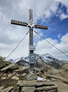
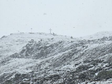
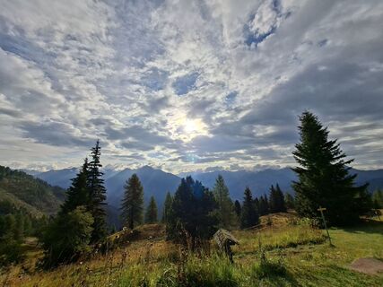
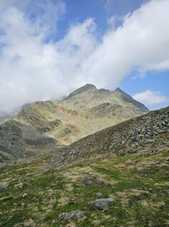
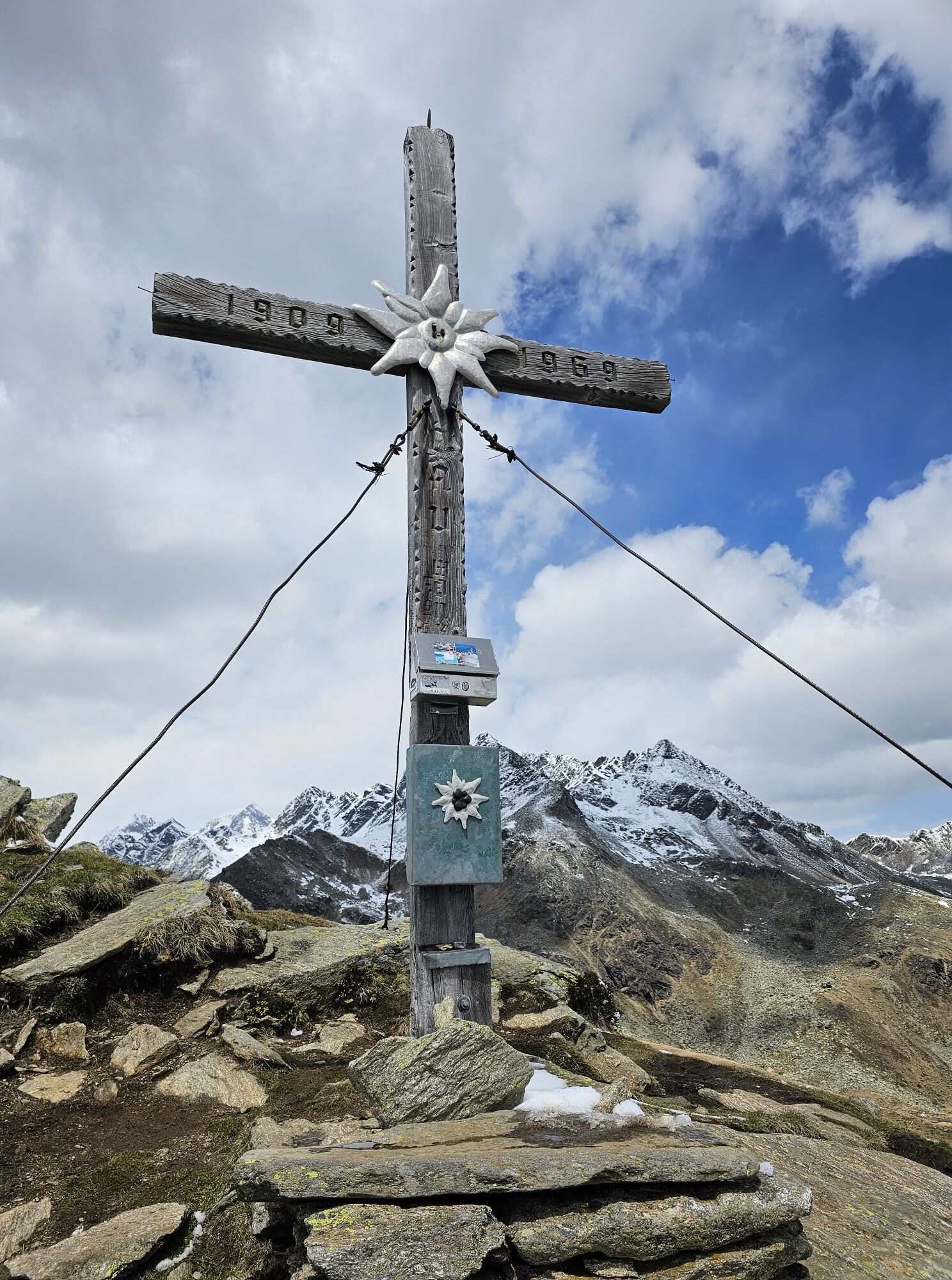
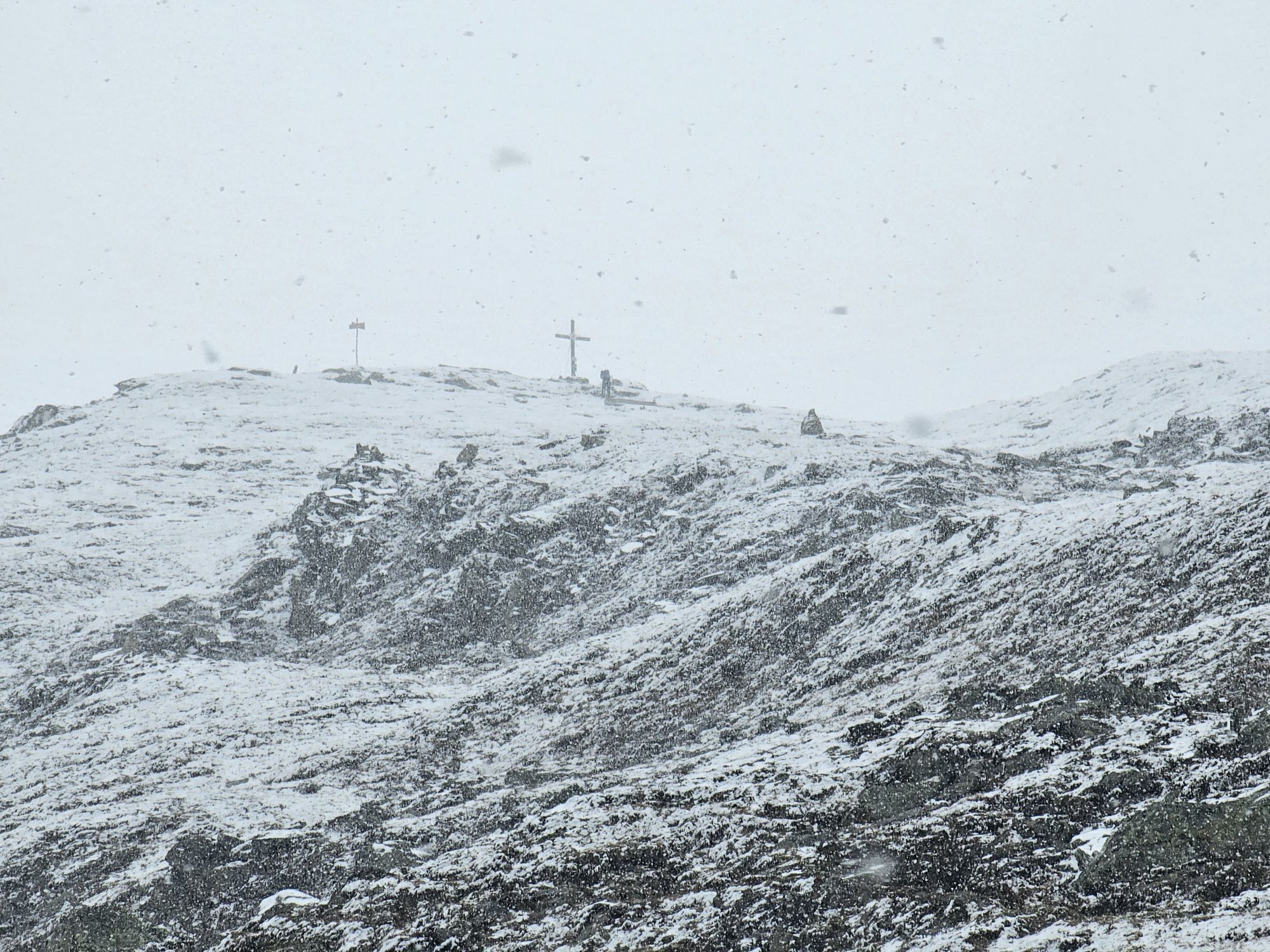
Straßkopf
Fotografie našich uživatelů
-
 © Robert Guggenberger 1Vytvořeno dne 24.05.2025
 -
 © Robert Guggenberger 1Vytvořeno dne 17.05.2025
 -
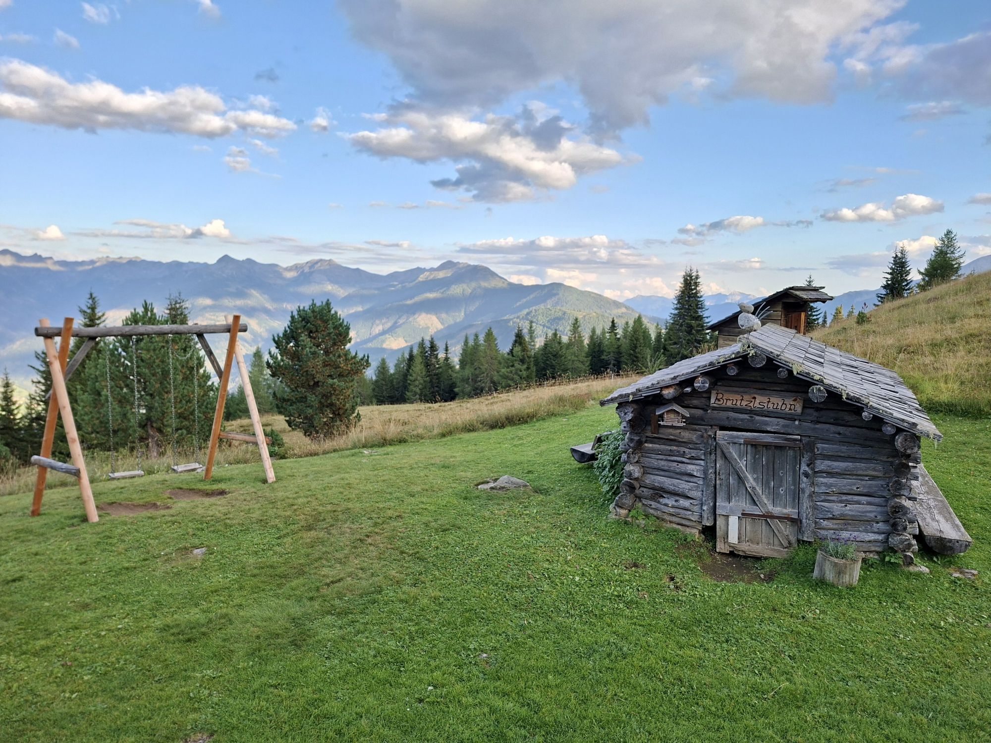
 © Patrick FresenbergerVytvořeno dne 23.08.2025
 -
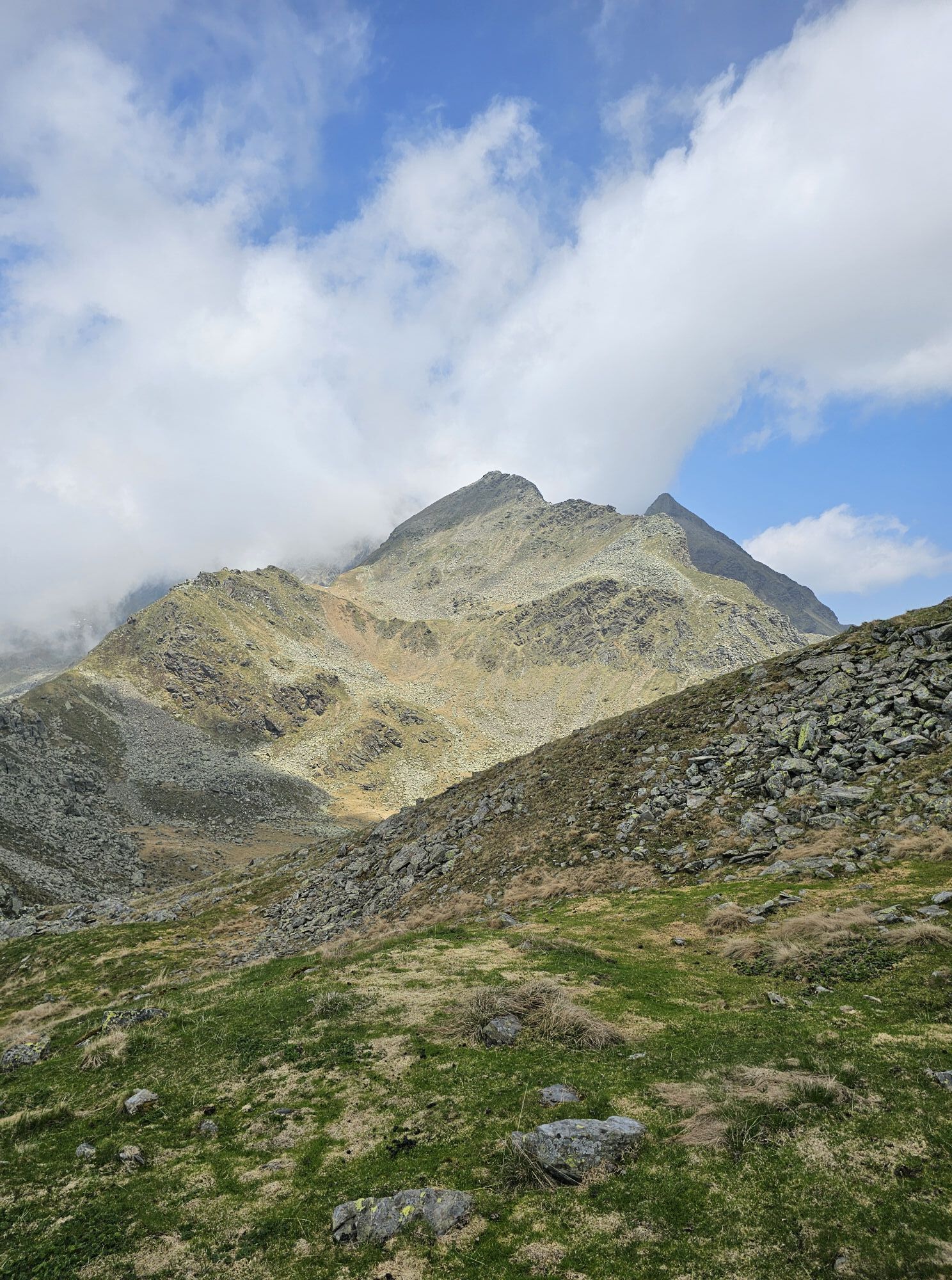
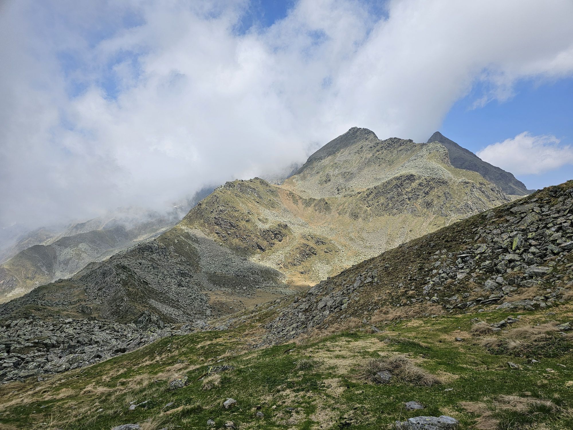
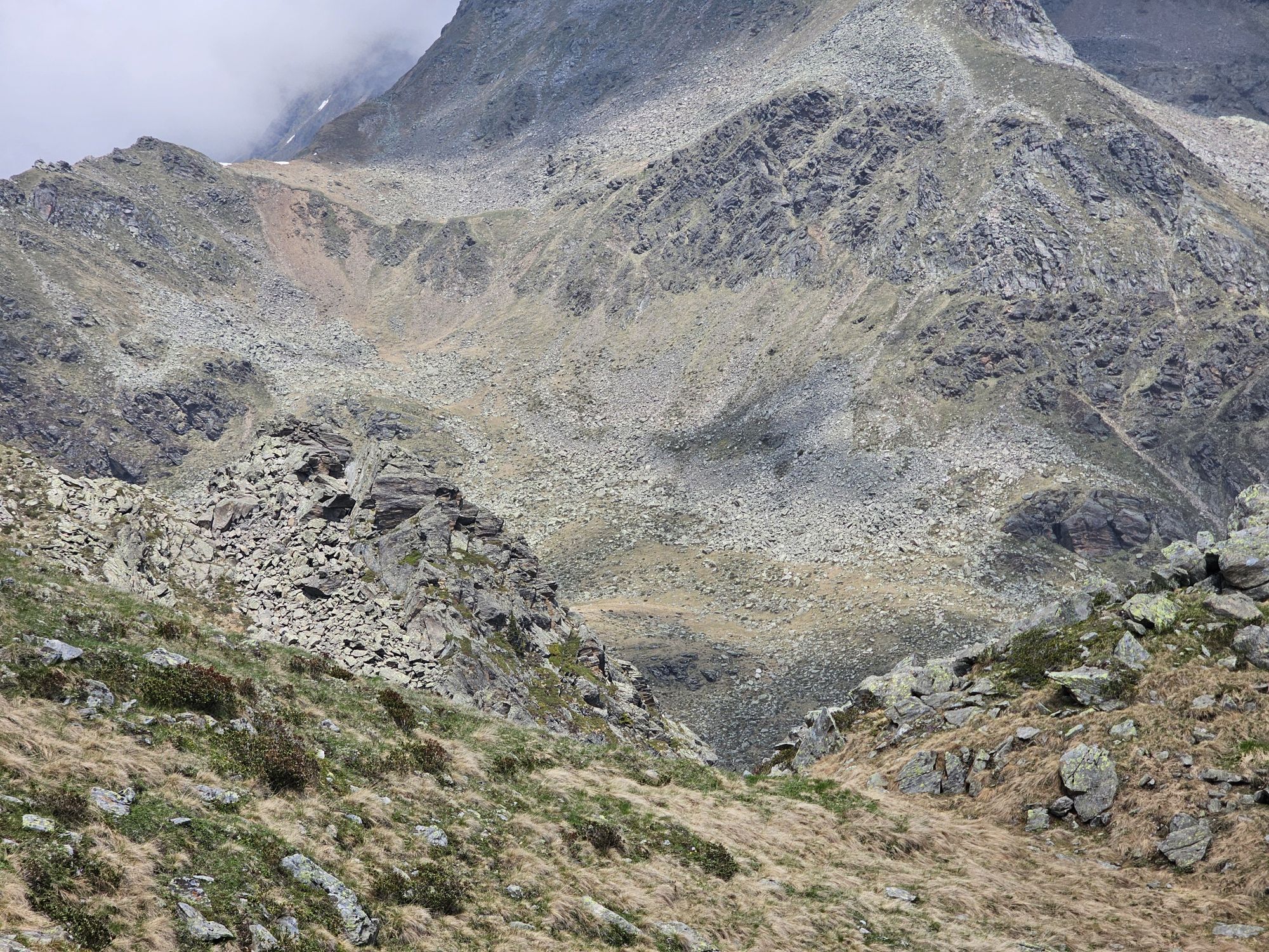
 © Patrick FresenbergerVytvořeno dne 22.08.2025
 -
 © Robert Guggenberger 1Vytvořeno dne 09.06.2025
 -
 © Robert Guggenberger 1Vytvořeno dne 09.06.2025
 -
 © Robert Guggenberger 1Vytvořeno dne 09.06.2025
 -
 © Robert Guggenberger 1Vytvořeno dne 01.06.2025
 -
 © Robert Guggenberger 1Vytvořeno dne 24.05.2025
 -
 © Robert Guggenberger 1Vytvořeno dne 24.05.2025
 -
 © Robert Guggenberger 1Vytvořeno dne 17.05.2025
 -
 © Robert Guggenberger 1Vytvořeno dne 17.05.2025
 -
 © Walter KöllnerVytvořeno dne 19.09.2025
 -
 © Walter KöllnerVytvořeno dne 19.09.2025
 -
 © Walter KöllnerVytvořeno dne 19.09.2025
 -
 © Walter KöllnerVytvořeno dne 19.09.2025
 -
 © Robert Guggenberger 1Vytvořeno dne 24.05.2025
 -
 © Robert Guggenberger 1Vytvořeno dne 17.05.2025
 -
 © Martin LobenweinVytvořeno dne 10.11.2024
 -
 © Martin LobenweinVytvořeno dne 10.11.2024
 -
 © Martin LobenweinVytvořeno dne 10.11.2024


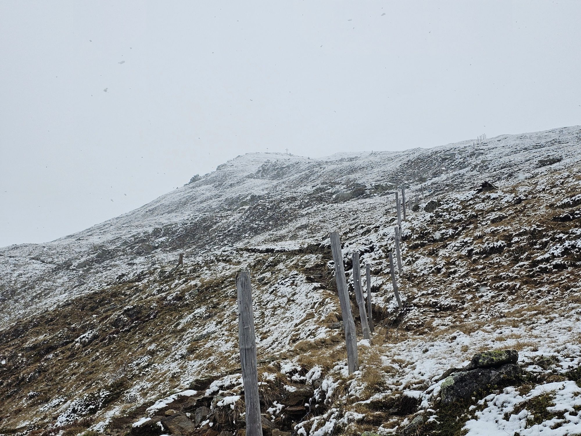


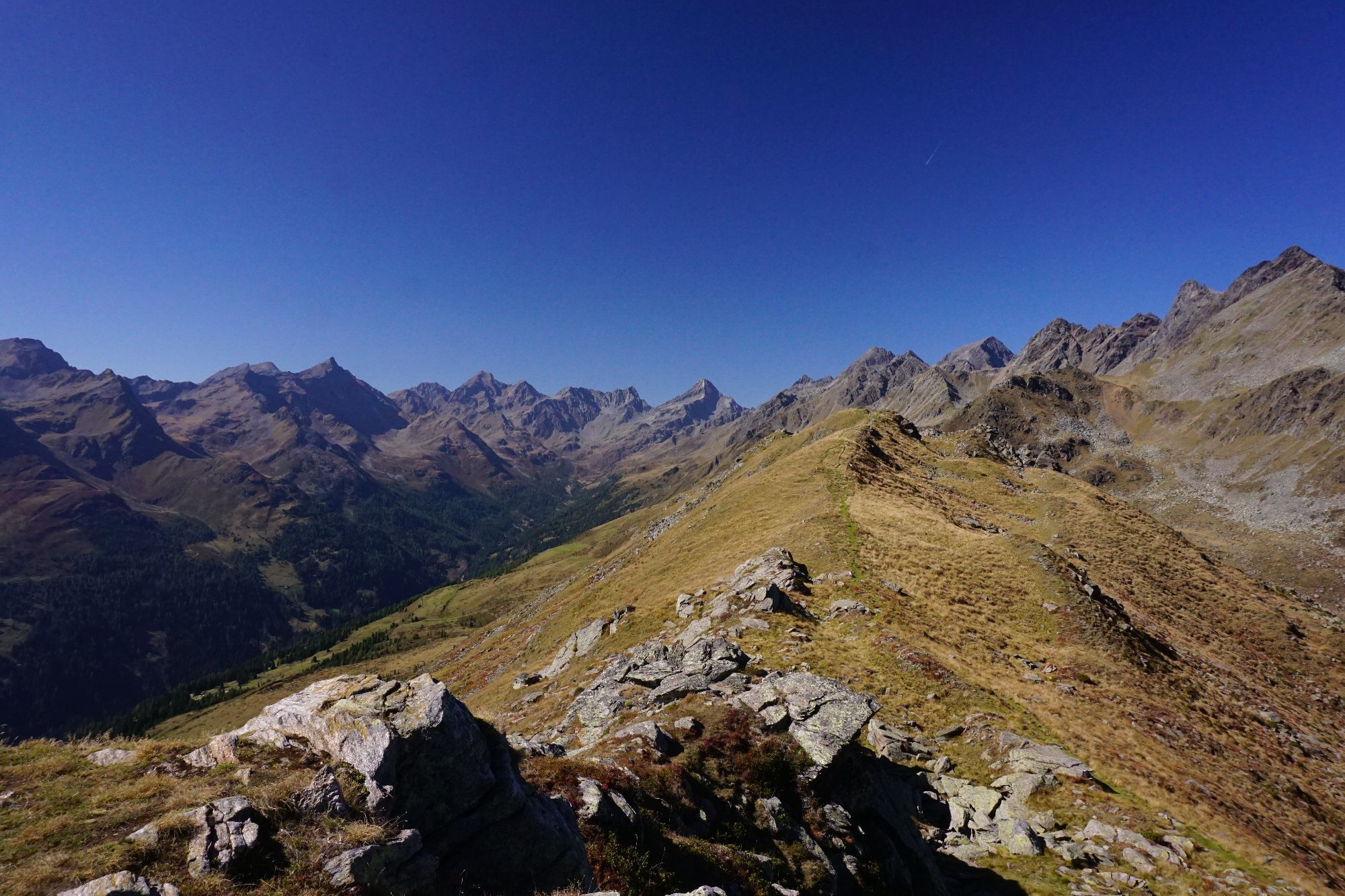


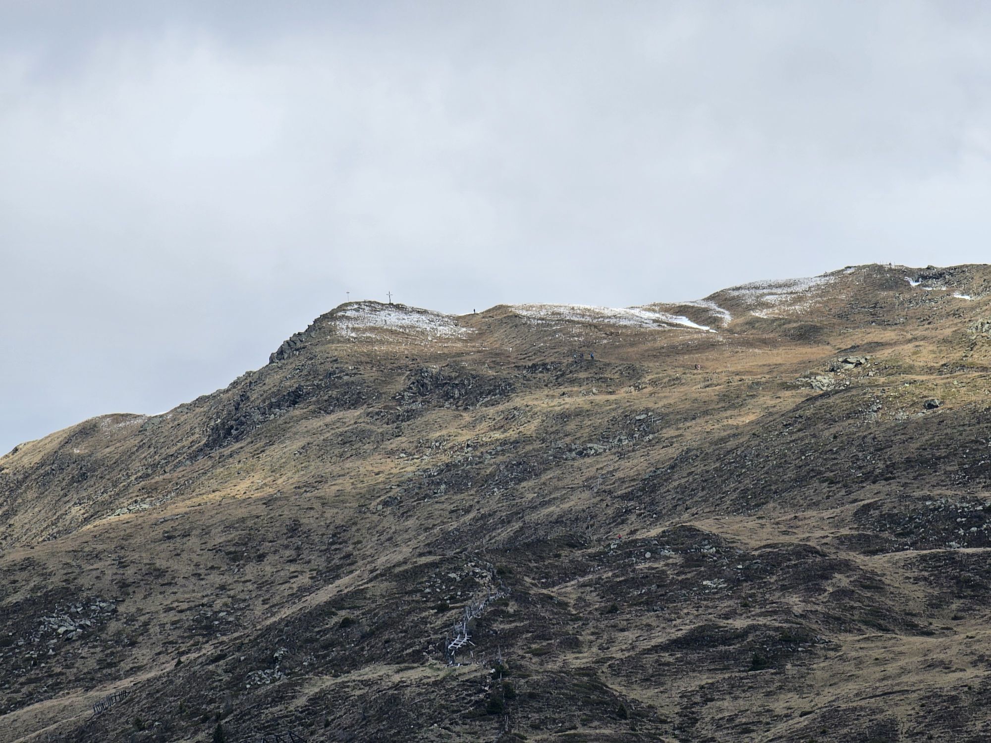

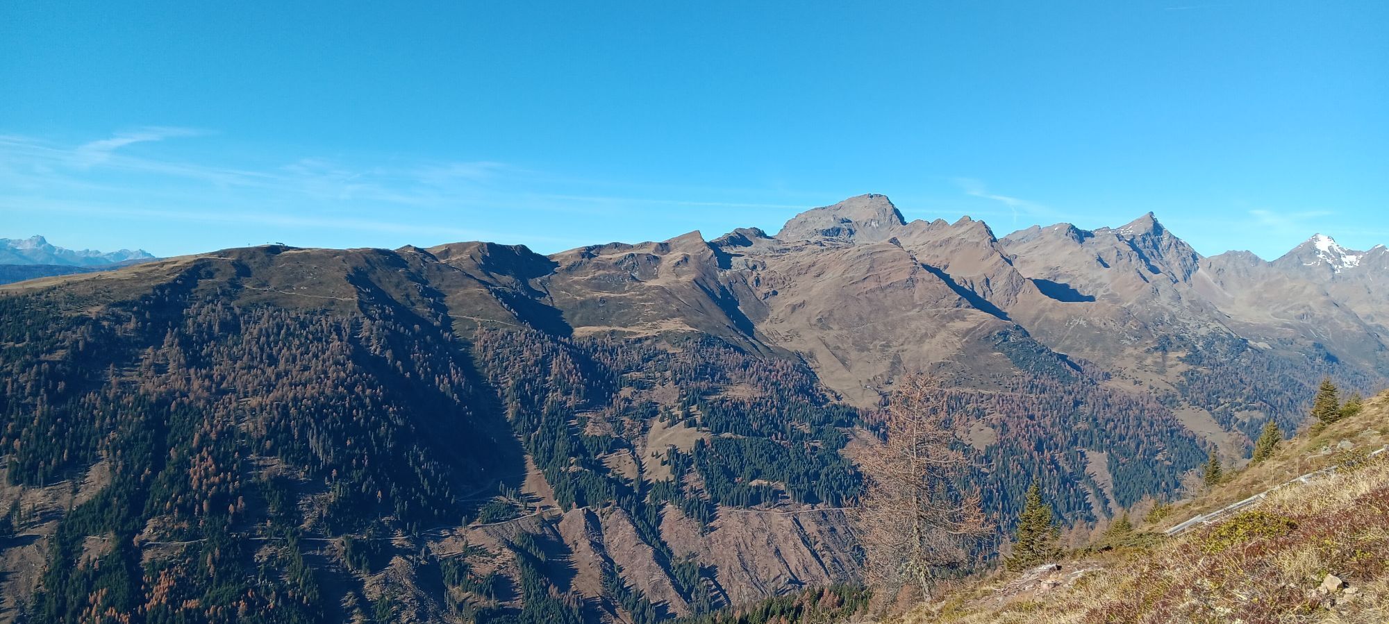

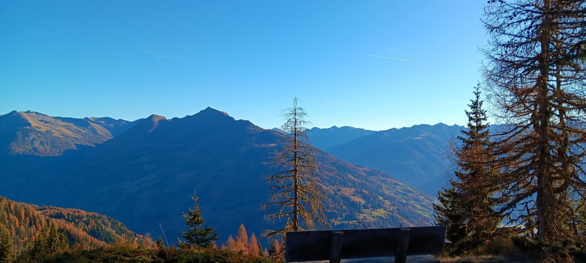
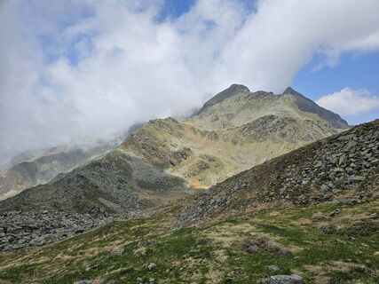
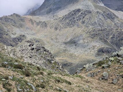
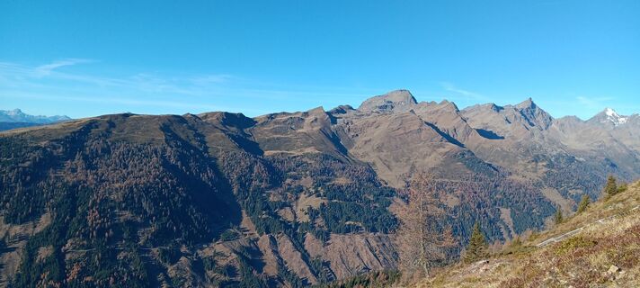
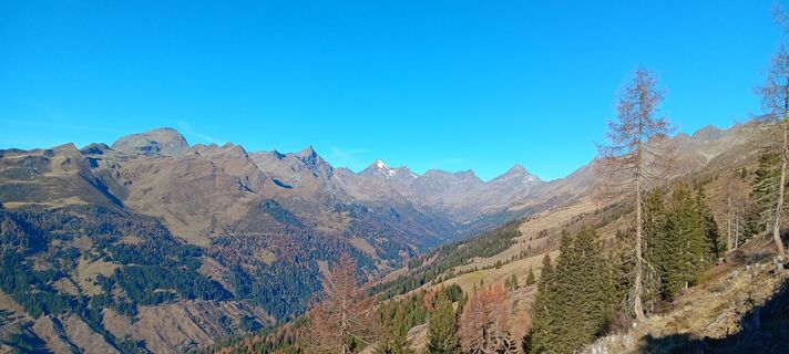
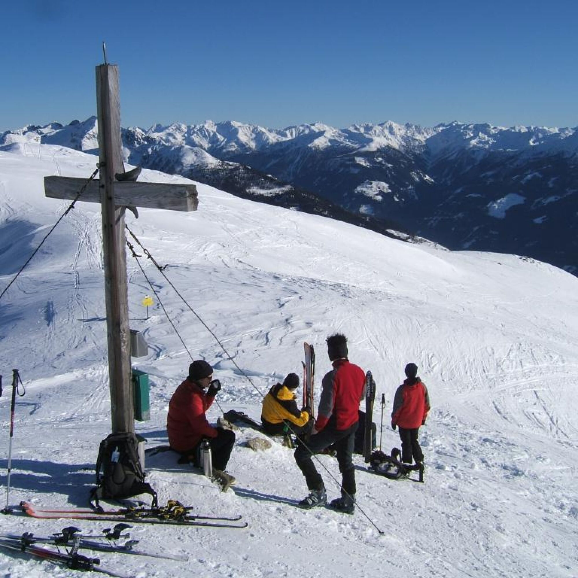
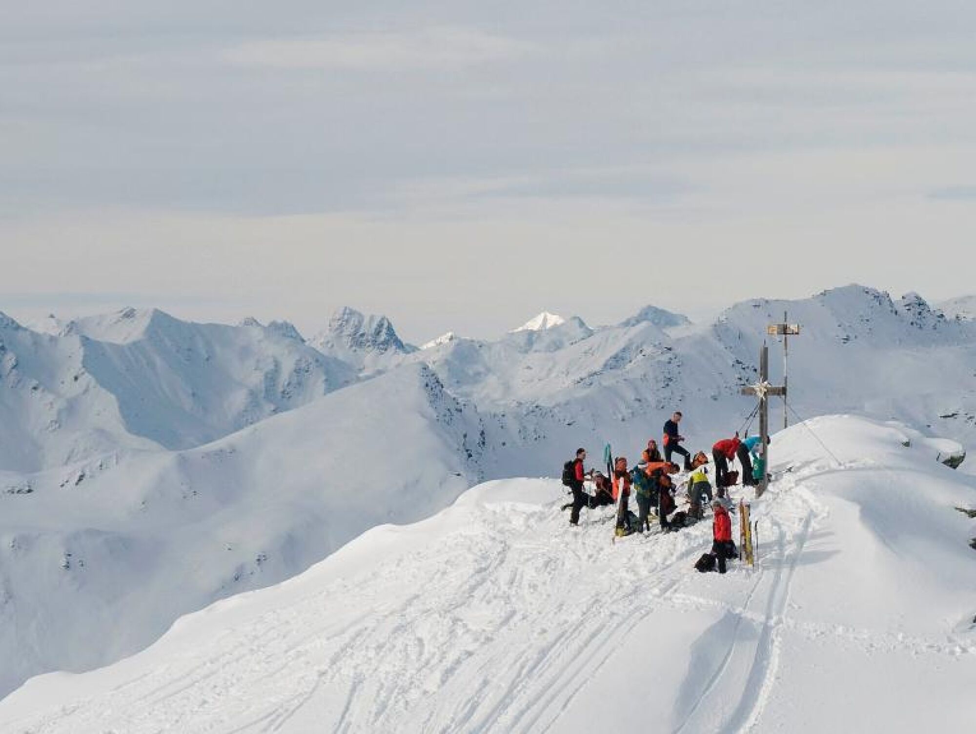
An easy ski route with a magnificent view over wide parts of the Hohe Tauern, the Lienz Dolomites, and into neighboring South Tyrol. Thanks to the simple and not too long ascent, this route can also be...
An easy ski route with a magnificent view over wide parts of the Hohe Tauern, the Lienz Dolomites, and into neighboring South Tyrol. Thanks to the simple and not too long ascent, this route can also be easily mastered by ski touring beginners.
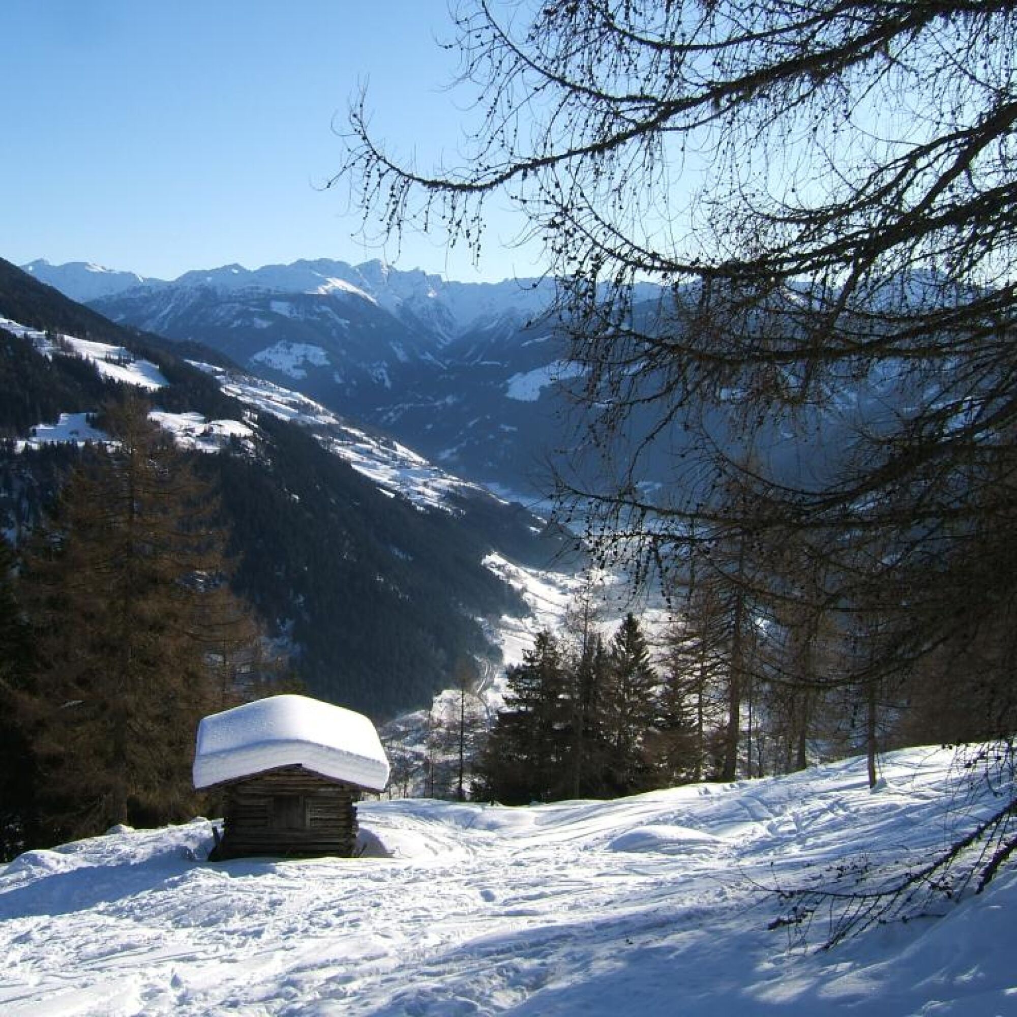
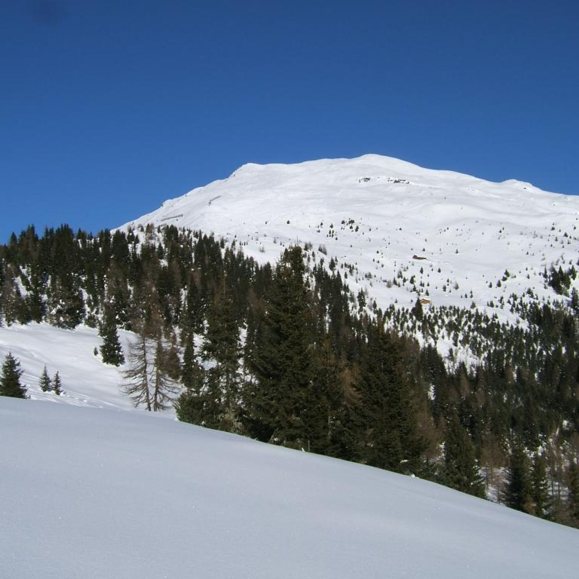
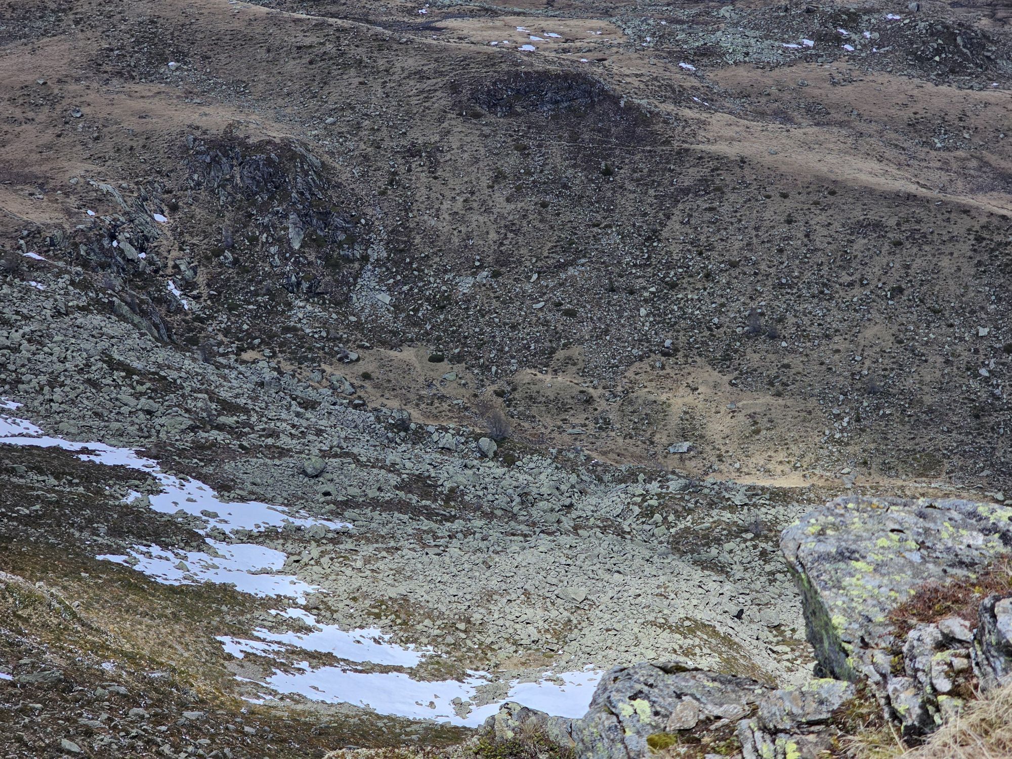
From the parking lot either along the road, but usually via shortcuts in the forest uphill to the National Park parking lot Winklerner Alm and further to the nearby Winklerner Hut. From the Winklerner Hut, head north over open terrain (alpine meadows) towards the already visible summit.
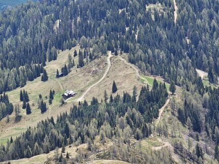
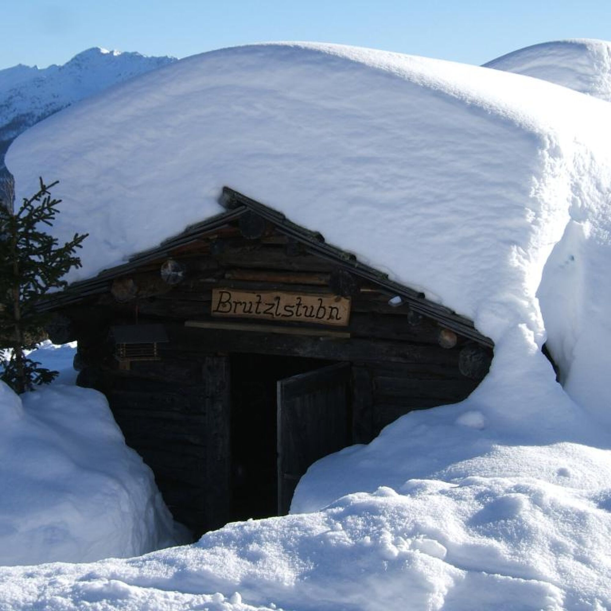
Place to eat: Winklerner Alm
Ano
Ano
Typical ski touring and avalanche beacon equipment.
Coming from Spittal or Lienz to the Iselsberg. Directly at the mountain pass, a road branches off to the north, which leads via the hamlet of Penzelberg to the church of St. Benedict.
At the starting point near the church of St. Benedict at Penzelberg (1,420m)
Respect your limits! 5 rules for responsible ski touring:
Where available, stay on marked routes; be sure to observe signposts as well as protected, conservation, and restricted areas. Consider wildlife: avoid feeding areas and immediately and calmly withdraw when spotting an animal. Avoid young tree cultivations (under three meters), ski edges can cause great damage to the trees. Do not leave any waste behind. Avoid noise.Important for ski touring: Prohibition of riding on young forest and reforestation areas
In snowy winters, a descent into the municipality of Winklern is possible.
Oblíbené prohlídky v okolí
-
4.8
Lienzer Dolomiten-Lasertörl
středníTuristika 13.2 km -
4.7
Glödis 3206m: PP Seichenbrunn, Lienzer Hütte, Glödis KS A/B
heavyVysokohorská turistika 16.1 km -
5.0
Ederplan round from the parking lot Stronach
středníTuristika 7.19 km -
3.9
Karlsbader Hütte - Lienzer Dolomiten
Turistika 8 km -
4.1
Gradental to Adolf Nossberger Hut - circular route
středníTuristika 11.1 km -
5.0
Panorama hike Glocknerblick-Asten
světloTuristika 7.09 km -
4.7
Karlsbader Hütte über Rudl-Eller-Weg
heavyTuristika 5.10 km -
4.8
Hike to the Wangenitzsee Hut
středníTuristika 13.9 km -
4.1
Straßkopf
středníTuristika 4.06 km -
3.9
Summit hike to the Hochstadel
středníTuristika 7.83 km
Pěší turistika a stopování


Nenechte si ujít nabídky a inspiraci pro vaši příští dovolenou
Vaše e-mailová adresa byl přidán do poštovního seznamu.