




Saustellscharte (2,560 m) from the Mölltaler Glacier ski area with descent into Kleinfragant

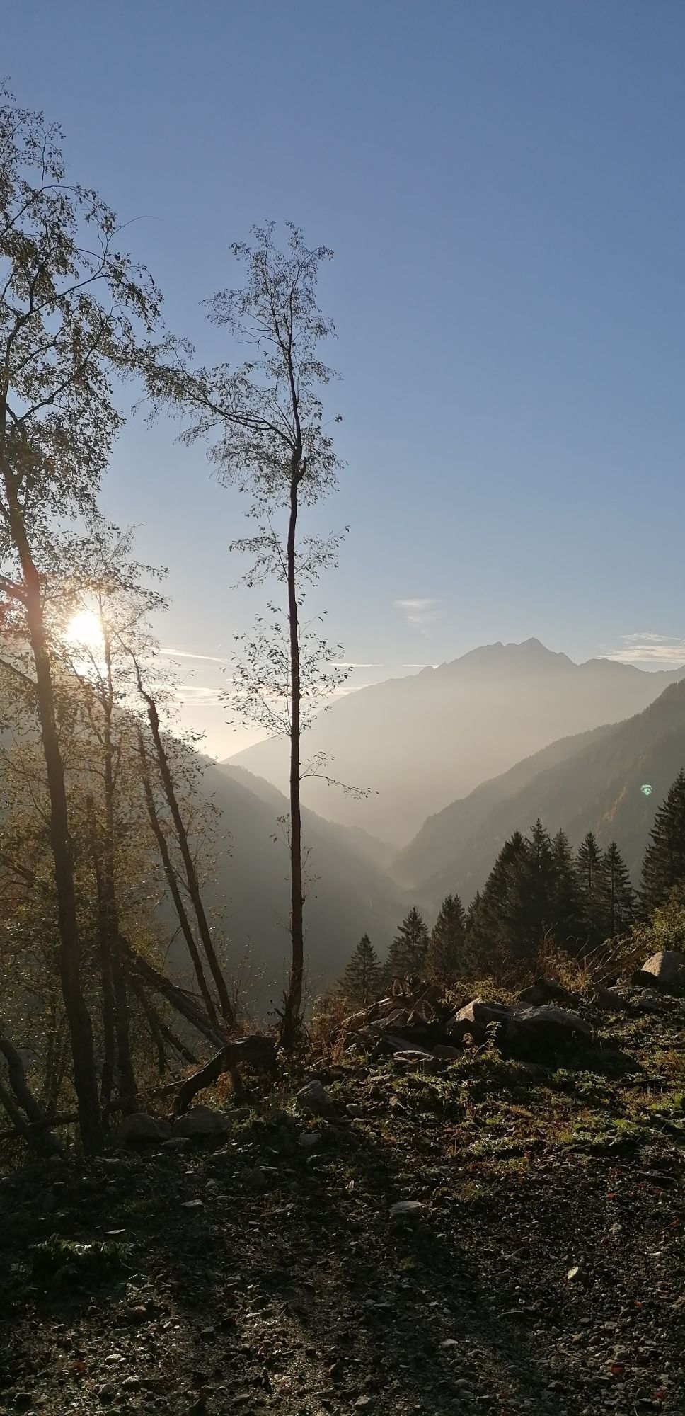
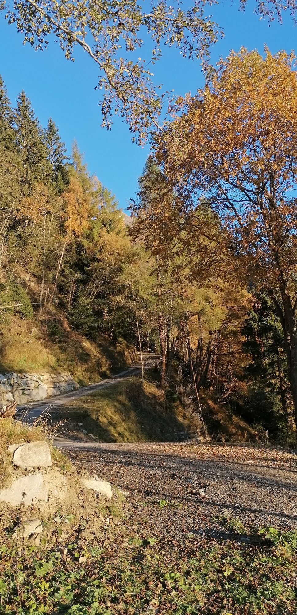
The Saustellscharte is a lonely destination despite its proximity to the Mölltaler Glacier ski area – and this although one can excellently ski through Kleinfragant to Hotel Badmeister just below the parking...
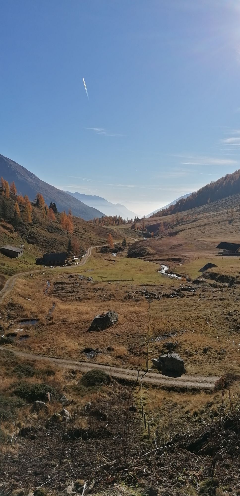
The Saustellscharte is a lonely destination despite its proximity to the Mölltaler Glacier ski area – and this although one can excellently ski through Kleinfragant to Hotel Badmeister just below the parking lot at the valley station Mölltaler Glacier. It should be mentioned as a limitation that considerable sections of the descent lead over a forest road. Nevertheless, the ratio of ascent meters to good descent meters is very good.
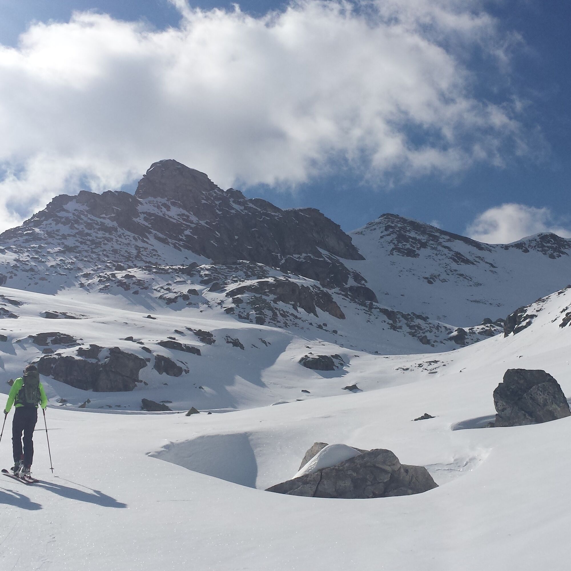
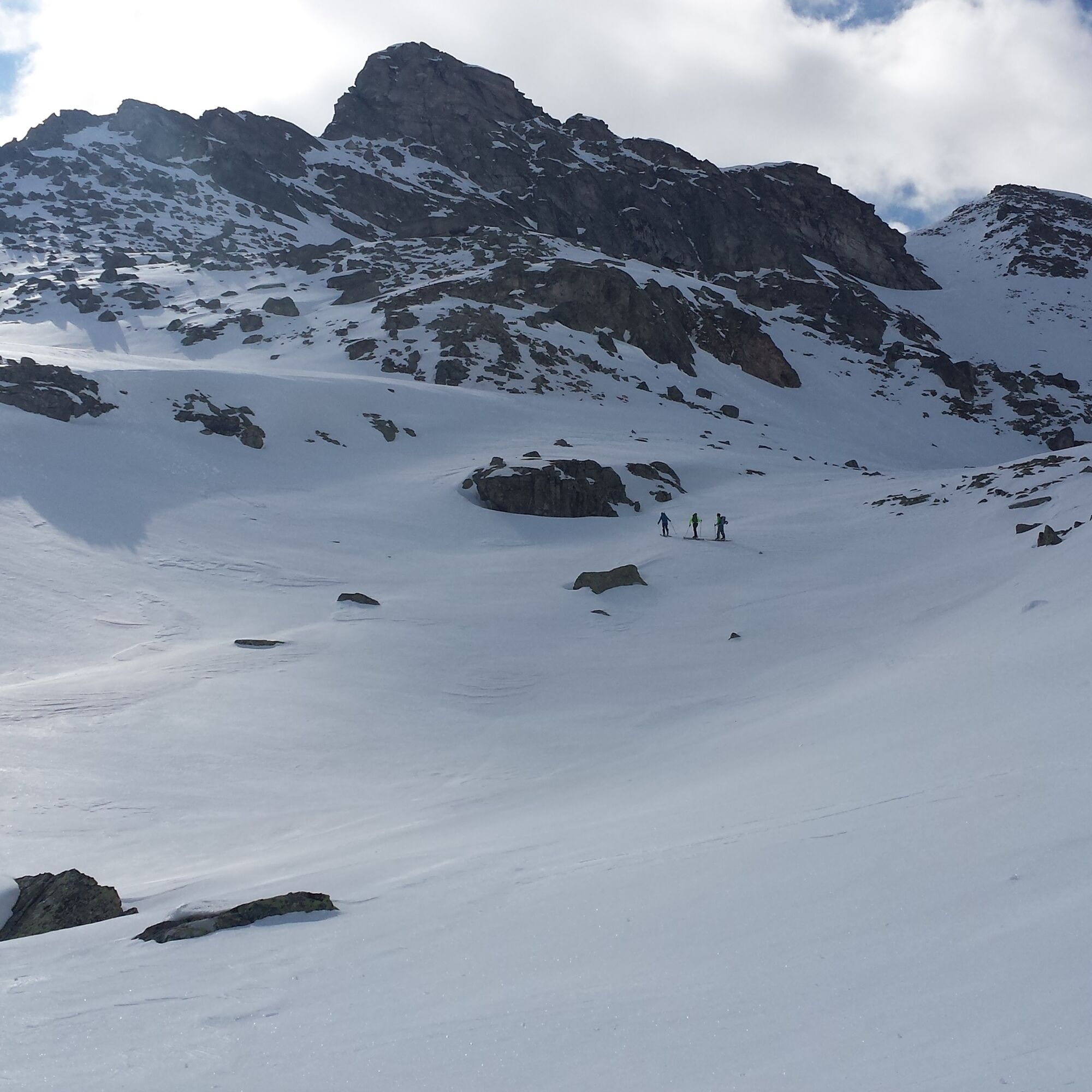
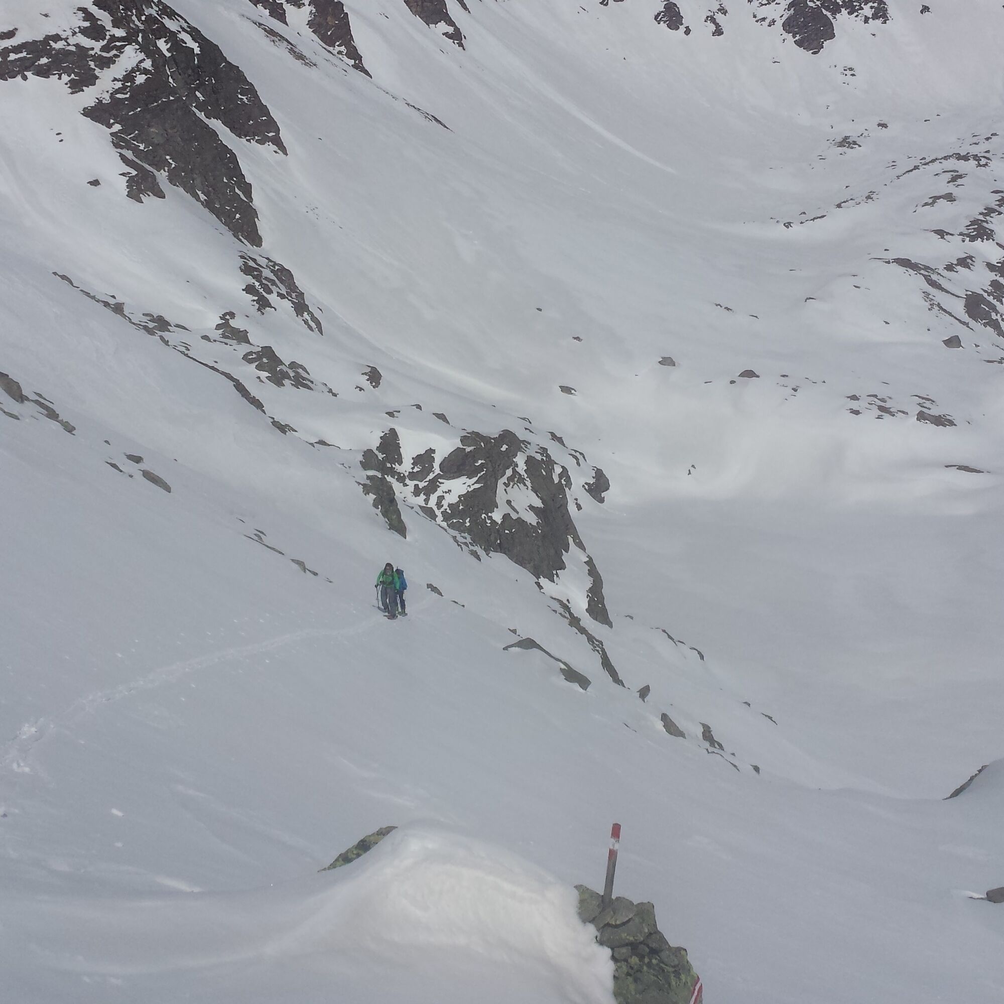
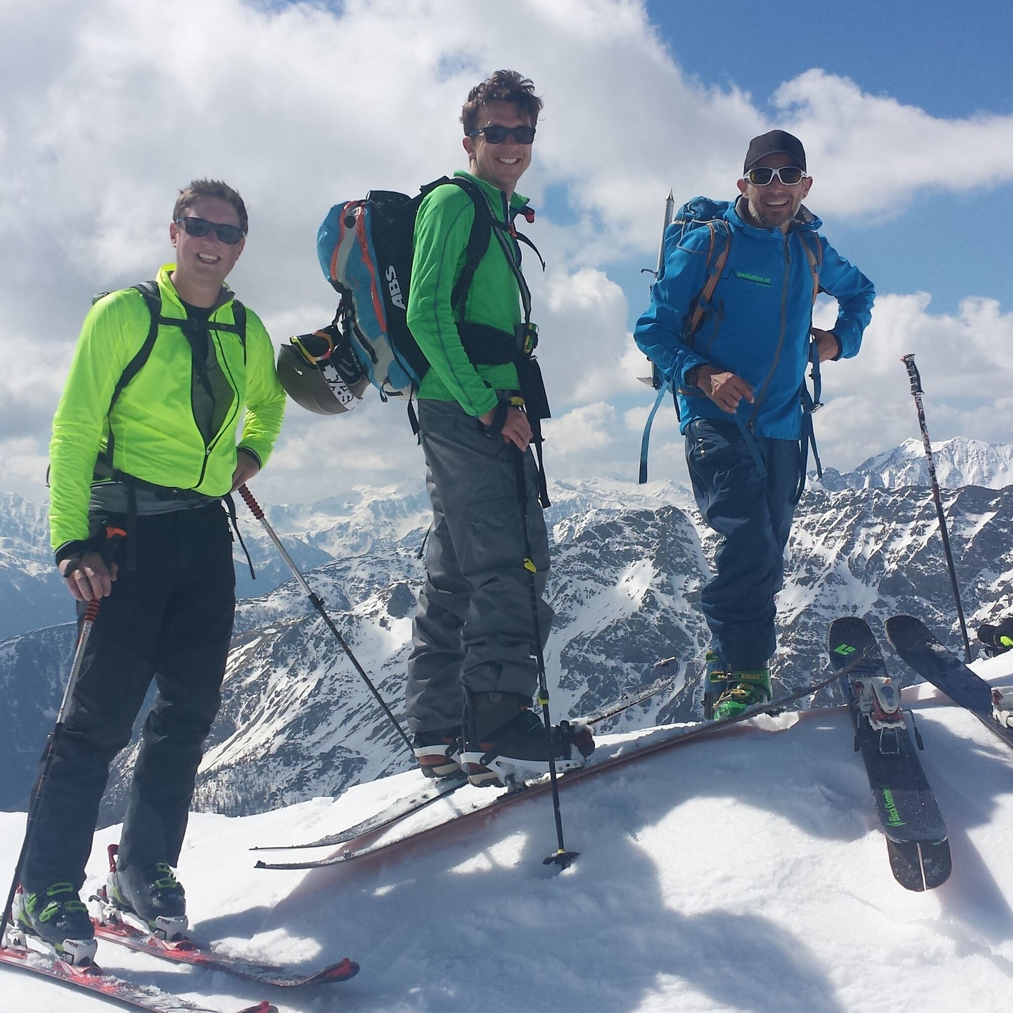
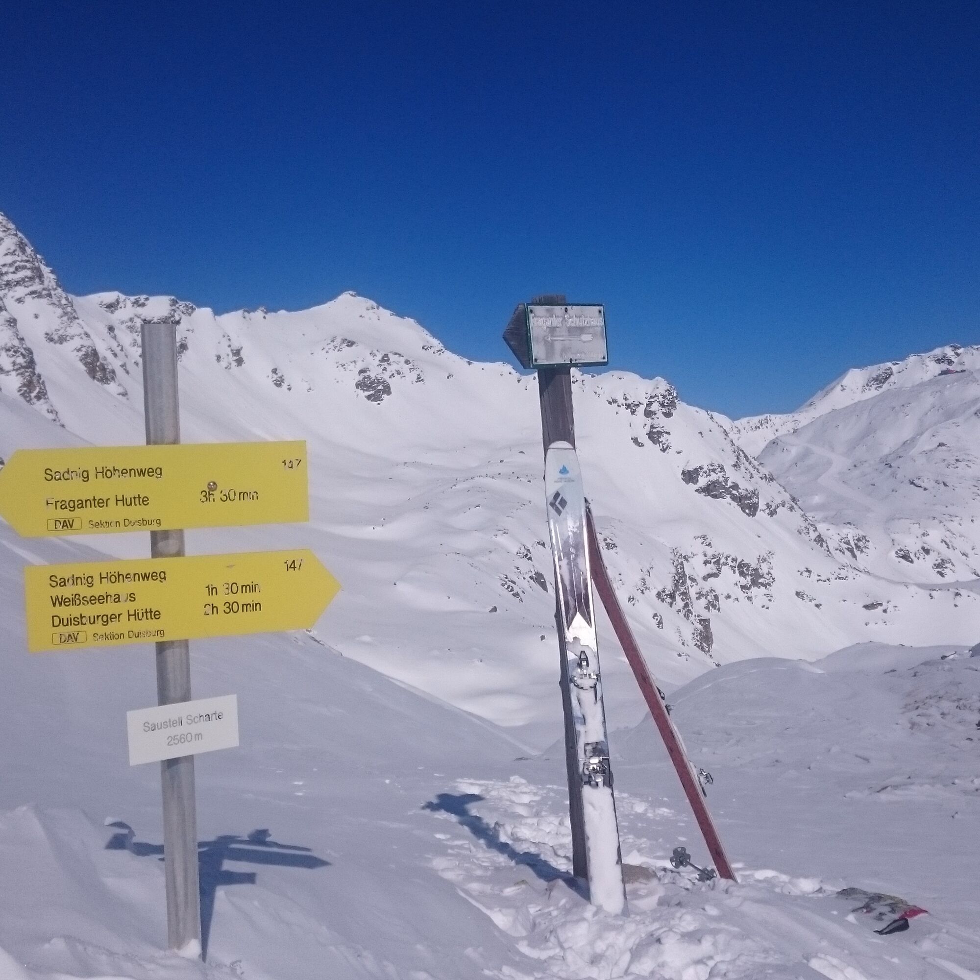
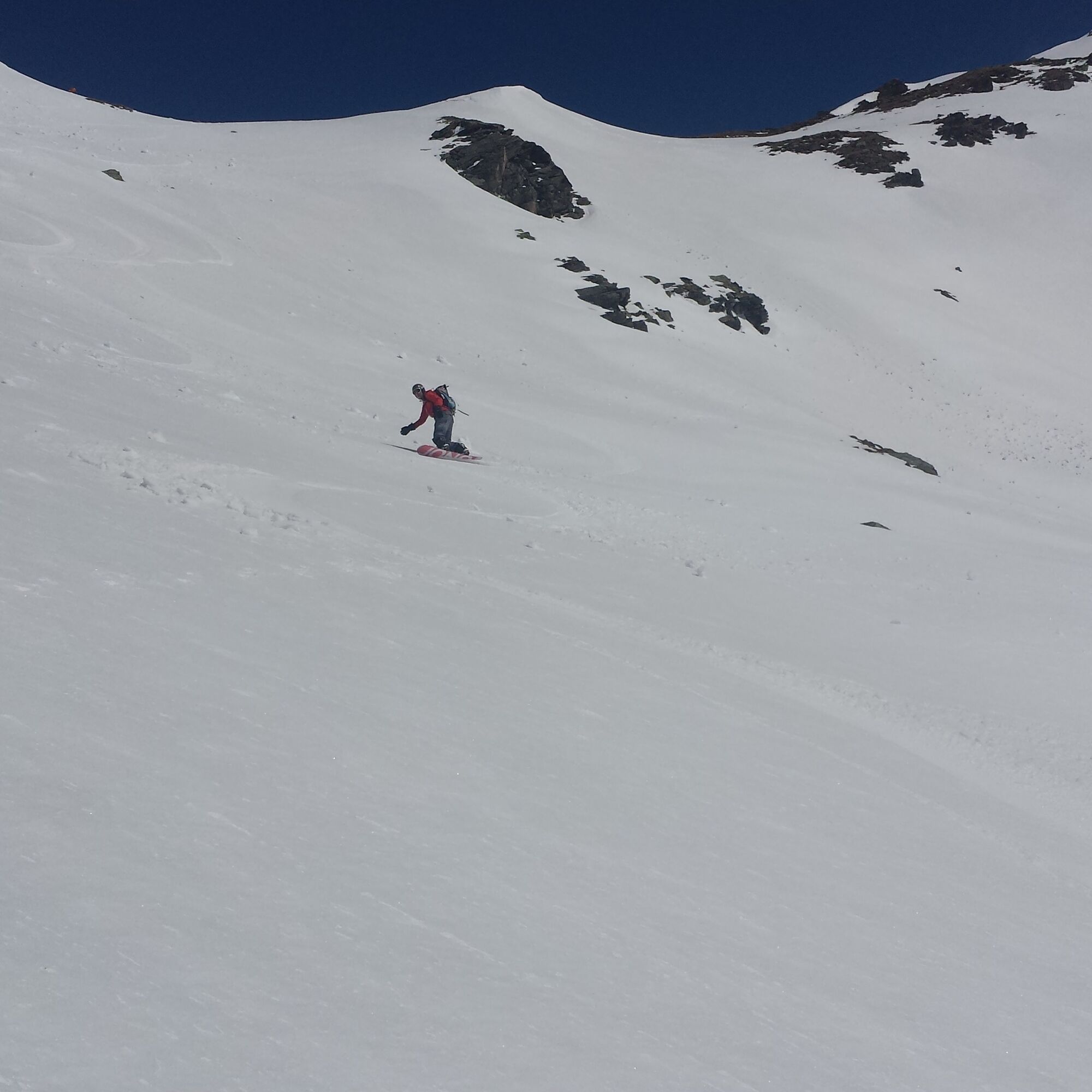
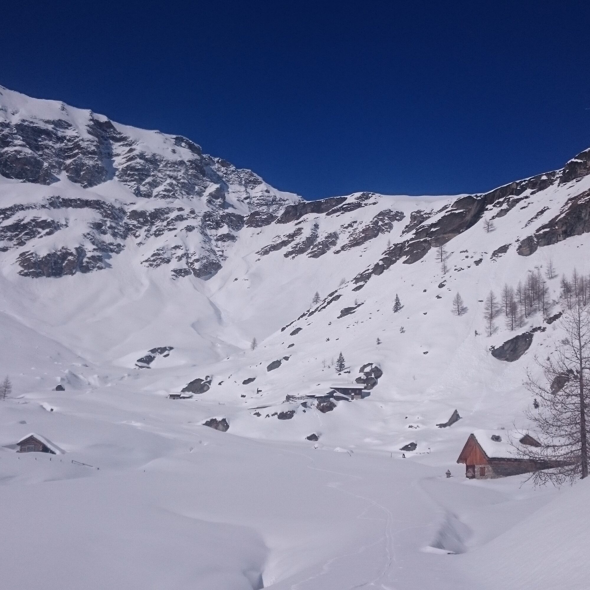

Ascent: From the parking lot take the Mölltaler Glacier Express (inclined elevator) up. Short descent over the piste and then continue with the Schwarzkopf chairlift to the Weißseehaus (2381m). Here you leave the ski area to the south: Initially along the summer path a short inclined descent to the south until just below a small rock wall just before the Schwarzsee dam. Now a short climb and down on the other side to the lake. Cross the lake to the south and continue through a small valley to below the steep slope below the col. Over this to the col.
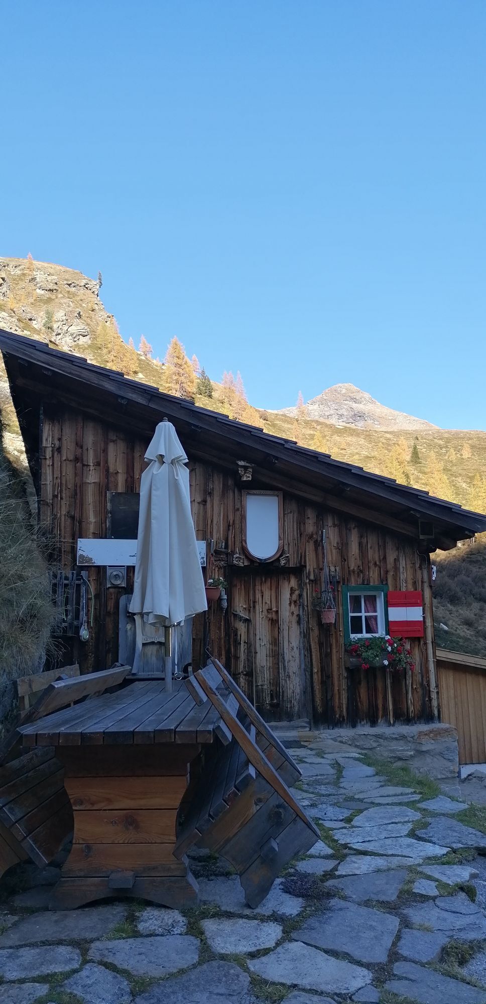
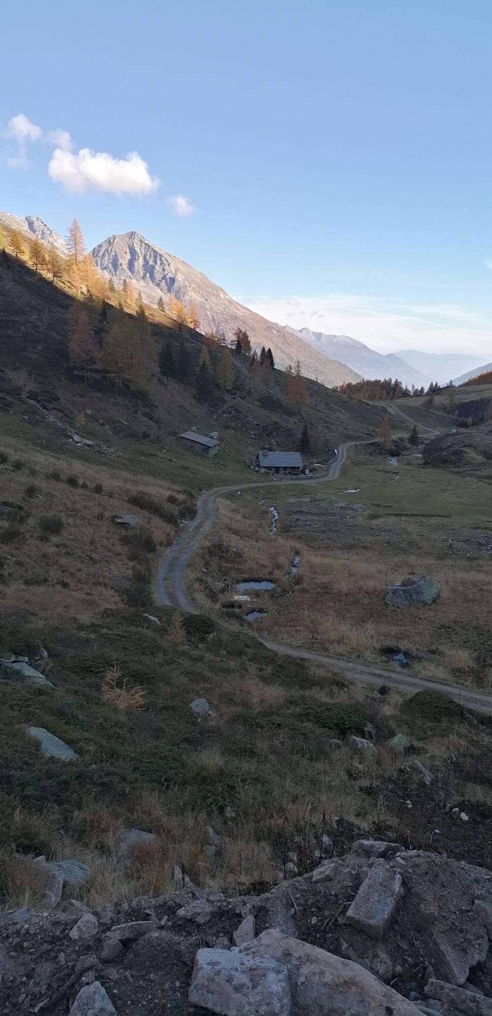
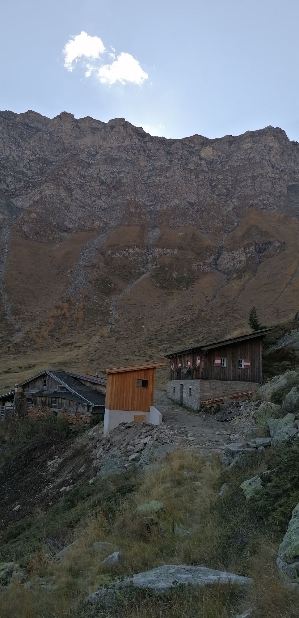
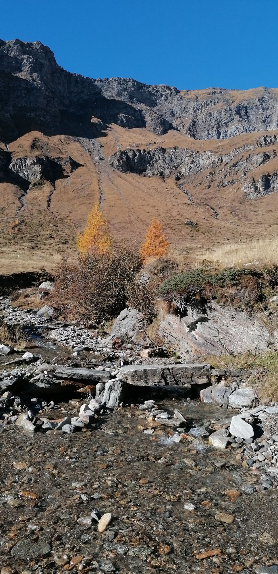
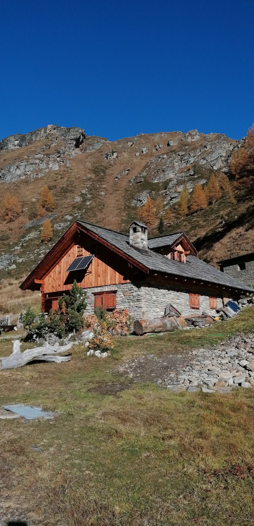
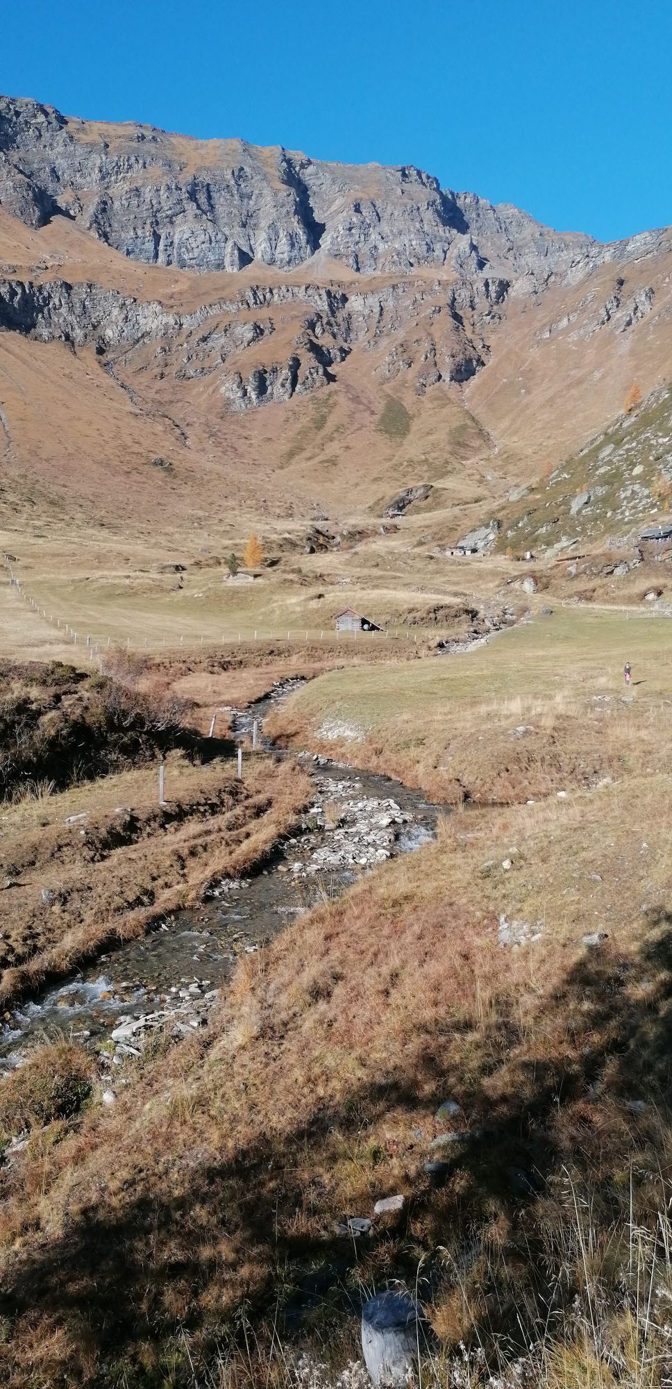
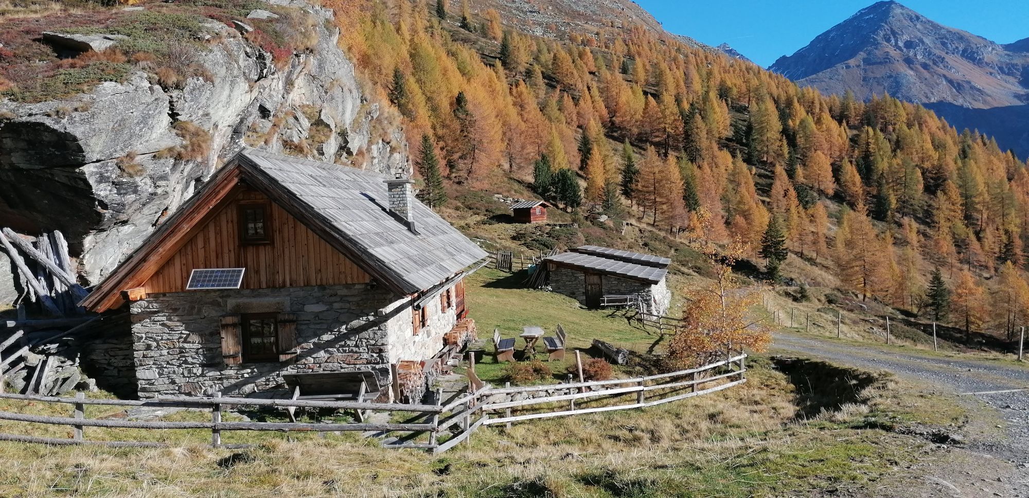
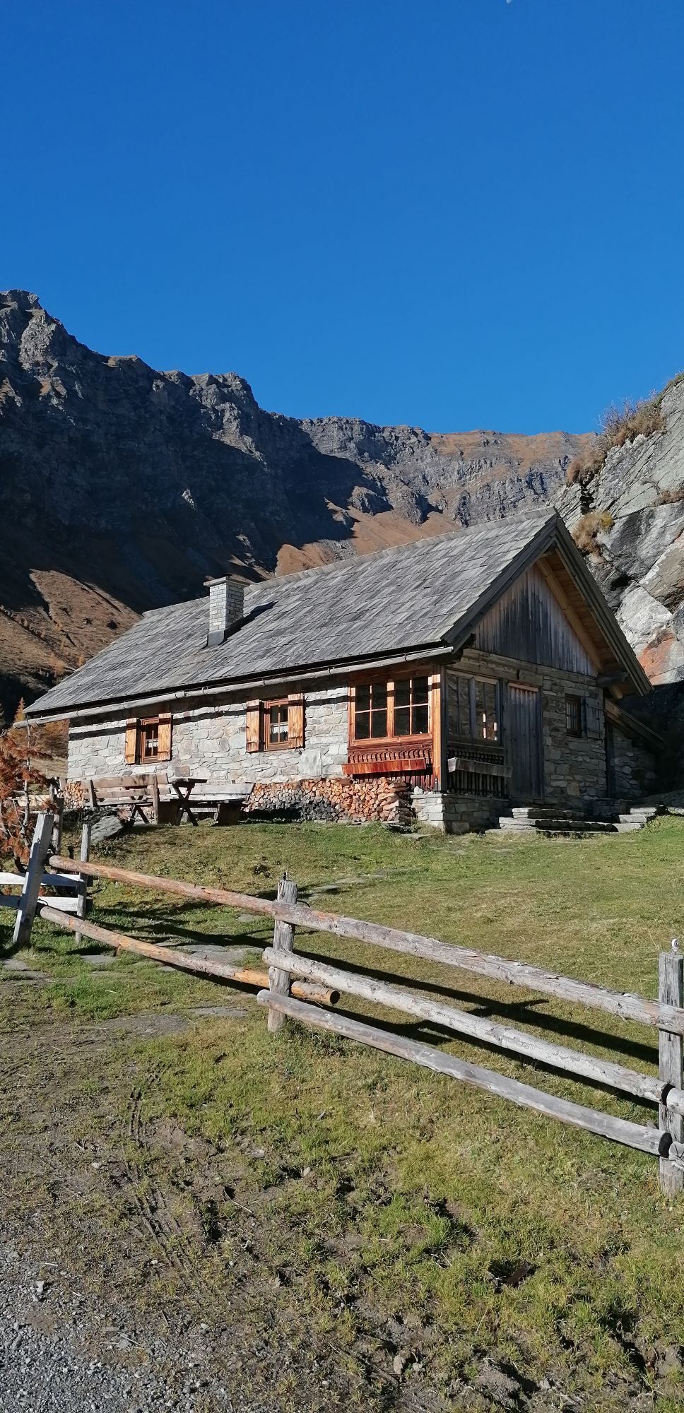
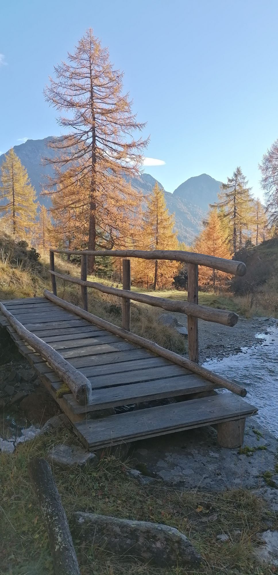
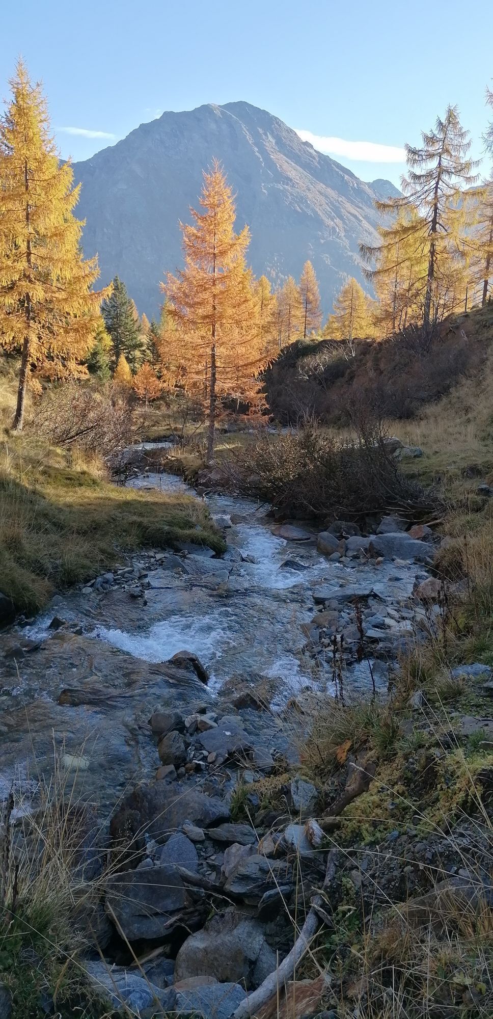
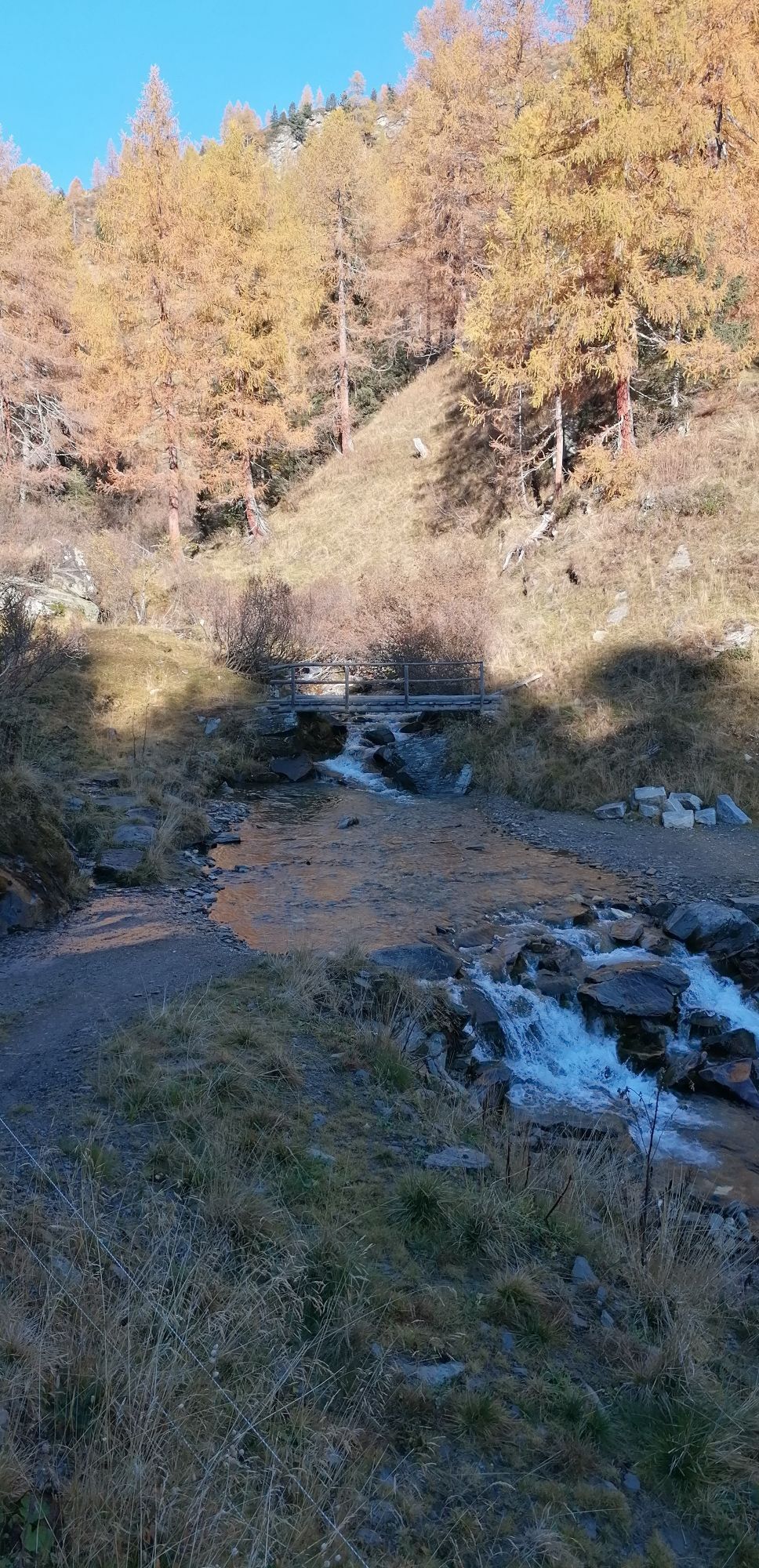
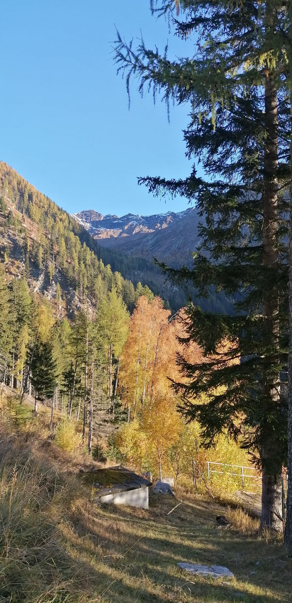
Descent: On the other side of the col, directly down and through the cirque (rock on the right) down to the “Ochsnerhüttl”. Continue down south and over an increasingly steep ridge to the valley floor at 1920 m above sea level. Now descend via the forest road (on the orographic left of the stream) down to Hotel Badmeister (short sections can be shortened in the terrain) and in 10 minutes across the road down-valley to the car.
Usual ski tour and avalanche transceiver equipment
The lowest slope into the valley floor should be skied early due to its steepness and exposure in warm temperatures.
In the Mölltal valley to Flattach and then north to Innerfragant and further to the parking lot of the valley station Mölltaler Glacier at the end of the road.
Parking lots at the valley station of the Mölltaler Glacier lifts
Respect your limits! 5 rules for responsible snowshoe or ski touring:
Where available, stay on marked routes; pay close attention to information boards as well as protected, conservation, and restricted areas. Be considerate of wildlife: avoid feeding sites and immediately and calmly retreat if you see any animals. Avoid young tree cultures (under three meters), ski edges can cause great damage to trees. Do not leave any waste behind. Avoid noise.Important for ski tours: prohibition of skiing on young forest and reforestation areas
It is recommended to put skins back on at 2,300 m above sea level (“Ochsnerhüttl”) and climb the Sandfeldkopf.

Webové kamery z prohlídky
Oblíbené prohlídky v okolí
-
4.5
Groppenstein Gorge Obervellach
středníTuristika 2.99 km -
5.0
Silberpfennig, Salzburger Land/Österreich
středníTuristika 13.8 km -
4.9
Astental: Mohar, Moharkreuz
středníTuristika 9 km -
4.8
Hohe Sonnblick Up
heavyTuristika 9.14 km -
4.8
Rifflscharte - Kolmkarscharte - Bockhartscharte - Sportgastein
středníTuristika 13.5 km -
4.9
Schareck über Ostgrat
heavyVysokohorská turistika 13.3 km -
4.7
Bad Gastein Stubnerkogel-Zittrauer Tisch Rundwanderung
středníTuristika 18.6 km -
4.5
Ankogelbahn: mountain station - Kleine Tauernsee - middle station
středníTuristika 5.91 km -
4.8
Vorderer Geißelkopf
středníVysokohorská turistika 19.1 km -
4.5
Bad Gastein-Böckstein-Sportgastein(Schlechtwettervariante)
Turistika 17.2 km
Pěší turistika a stopování


Nenechte si ujít nabídky a inspiraci pro vaši příští dovolenou
Vaše e-mailová adresa byl přidán do poštovního seznamu.


