






Weißenkopf
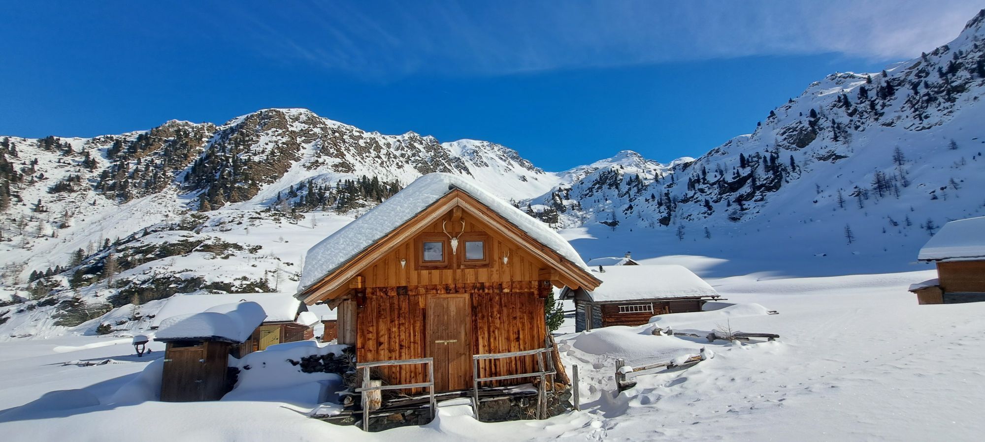
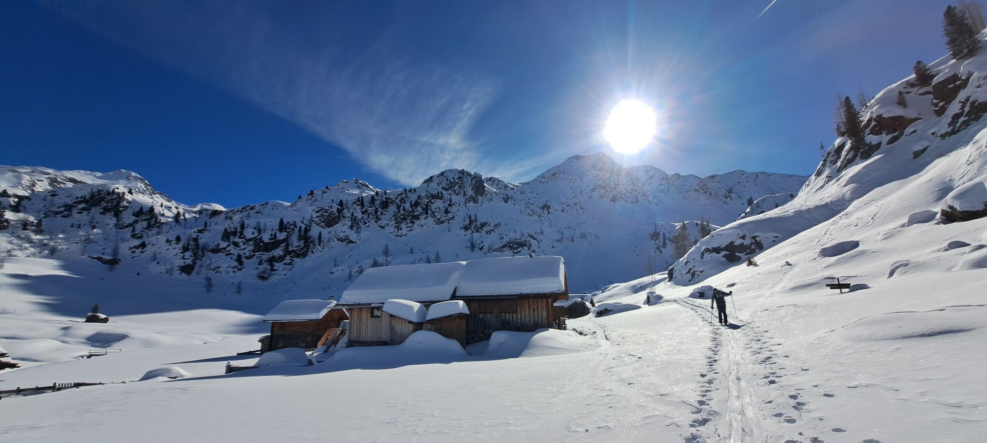
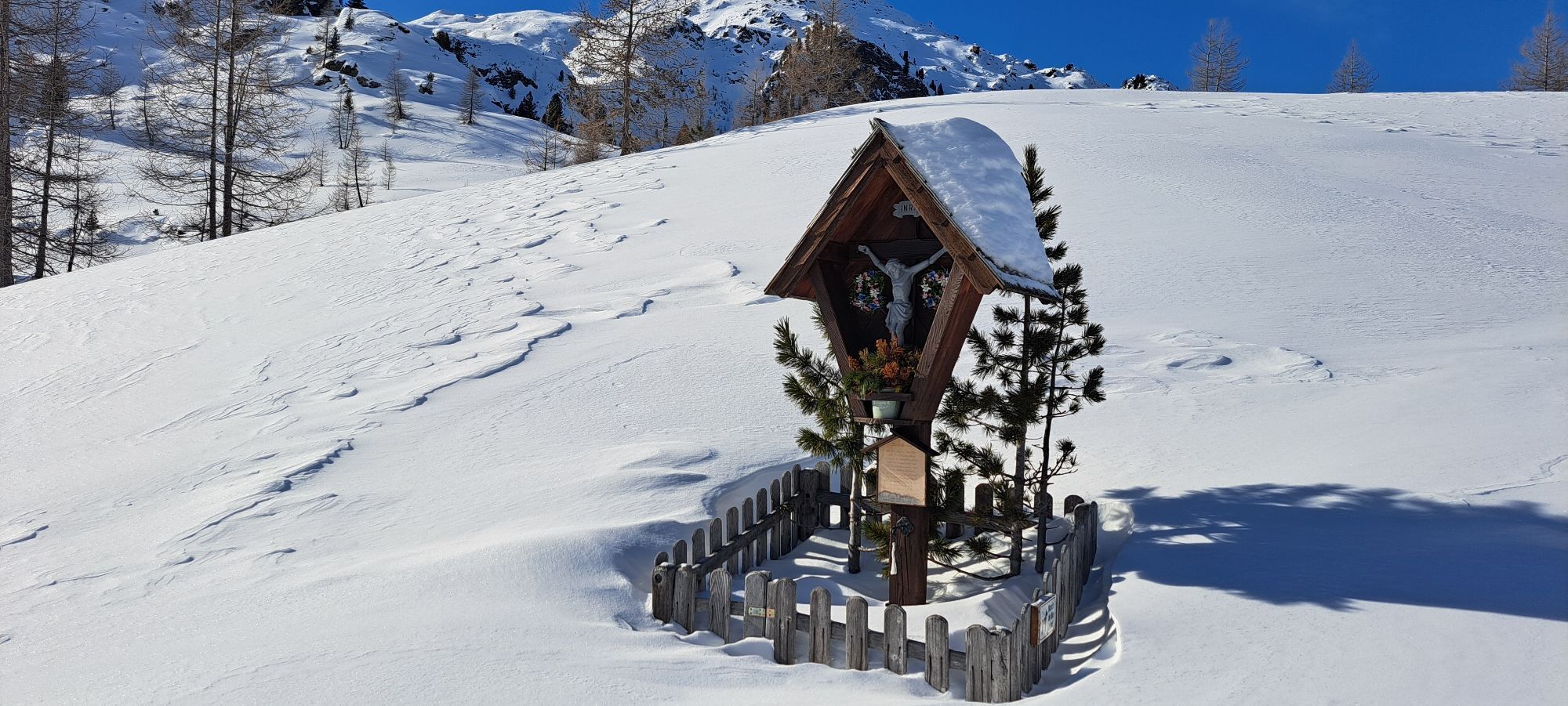
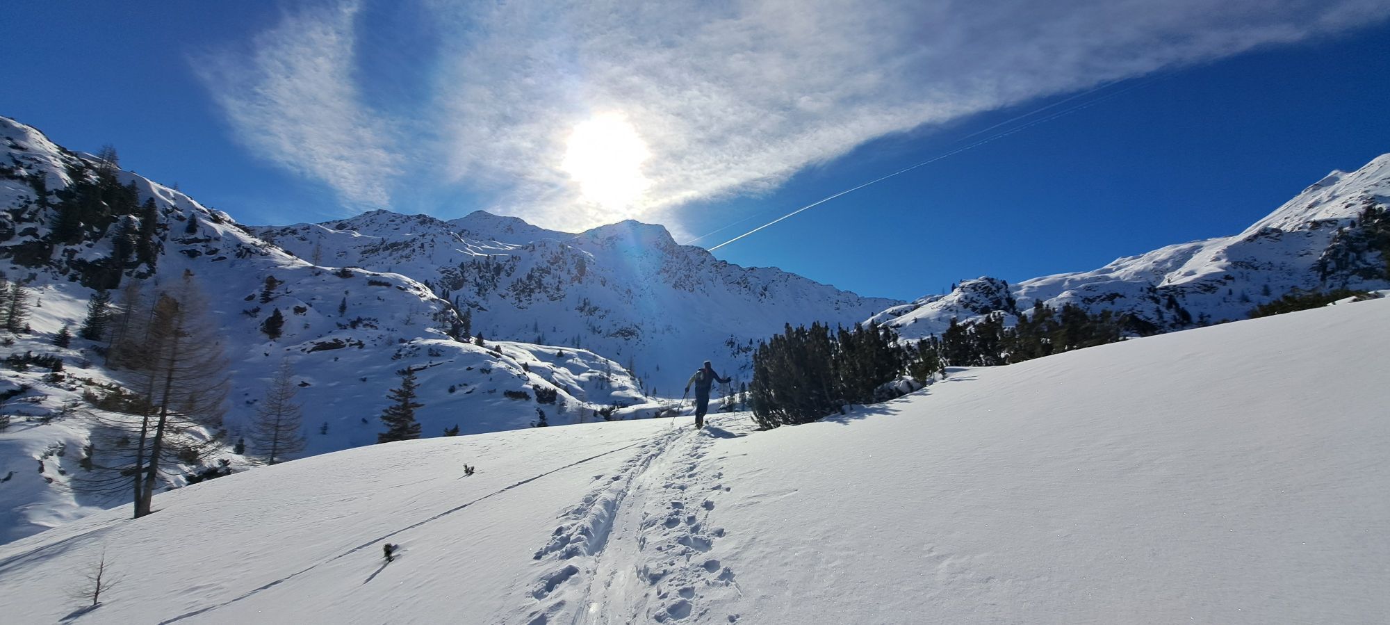
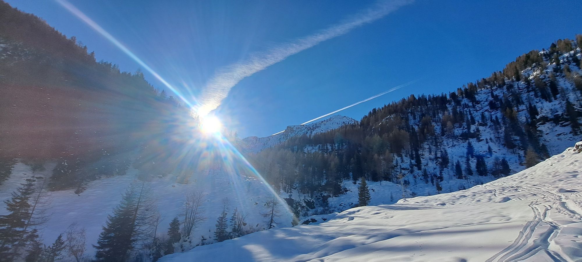
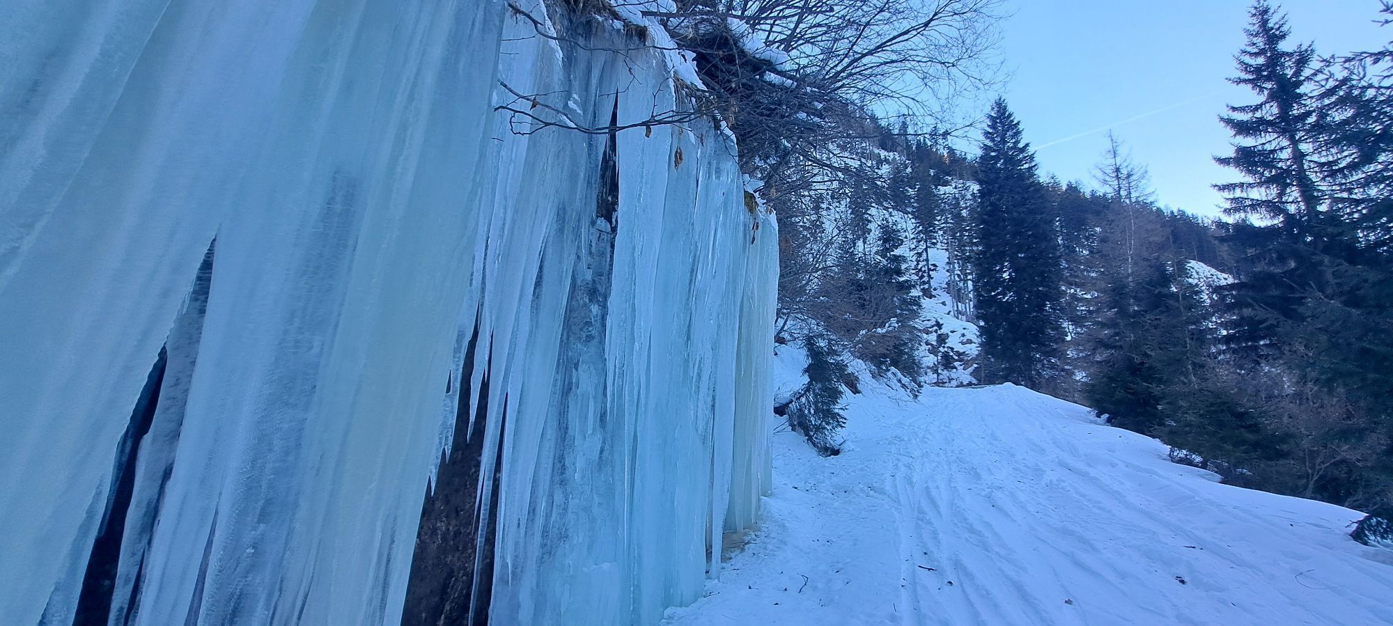
Initially, take an old, partly steep alpine path upwards into treeless terrain. From the Staller Wölla, you enter a fascinating landscape and ascend over free, moderately steep slopes to the Weißenkopf...
Initially, take an old, partly steep alpine path upwards into treeless terrain. From the Staller Wölla, you enter a fascinating landscape and ascend over free, moderately steep slopes to the Weißenkopf or its subpeak. The Weißenkopf is the insider tip around the Staller Wölla. While most ski tourers march to the Kreuzeck or Hochkreuz, hardly anyone finds the way to this rewarding and solitary summit.
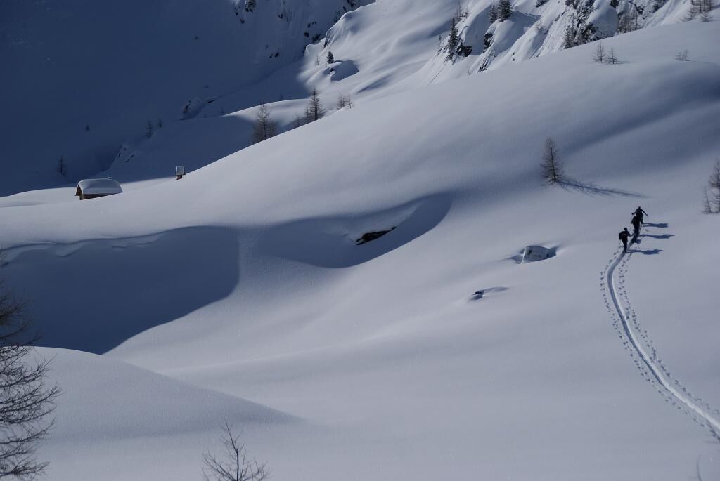
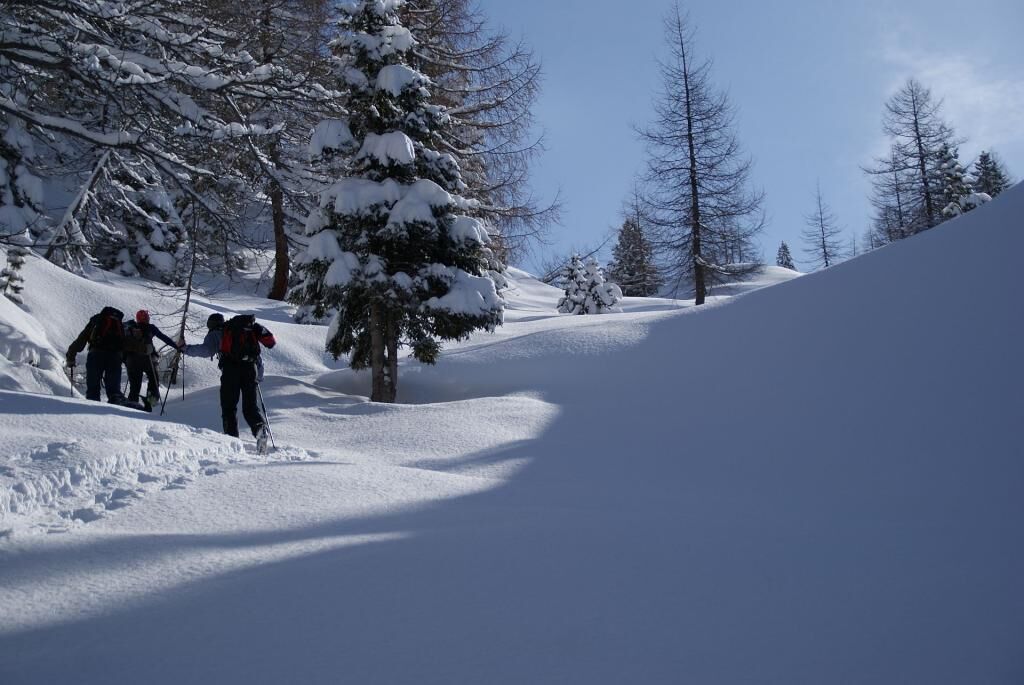

From the power plant, head up the road to the reservoir and from there follow the summer path leading through partly steep terrain up to the Upper Gößnitzer Huts (1684m). After a short crossing to the south, you reach another steep section, where the alpine path zigzags up to the Staller Wölla (2033m). From here, you can either ascend westward over a short steeper section to a leveling at around 2200m and then follow a wide gully up to a beautiful saddle. Alternatively, you can also ascend shortly south from Staller Wölla into the so-called Staller Weißen. There, keep right (heading west) and after a steep section just above the leveling at 2200m, you emerge at the lower edge of the gully. From the gully exit, follow the prominent northeast ridge to the summit. The end of the gully itself is already a rewarding destination.
Descent: Along the ascent route.
Ano
Standard ski touring and avalanche transceiver equipment
The gully up towards the summit should not be underestimated. In case of significant avalanche danger, great caution is required here.
On the B 106 just east of the village Stall in the Mölltal, where a small road branches off to the south at the bridge over the Möll. Depending on snow conditions, this paved mountain road leads either to the power plant (1225m) or to the reservoir (~1550m).
Parking options either at the power plant or just below the small reservoir
Respect your limits! 5 rules for responsible ski touring:
Where available, stay on marked routes; always observe information boards as well as protected, conservation, and restricted areas. Show consideration for wildlife: avoid feeding places and immediately and calmly withdraw if an animal is sighted. Avoid young tree cultures (under three meters), ski edges can cause great damage to the trees. Do not leave any waste behind. Avoid noise.Important for ski tours: Prohibition of riding in young forests and reforestation areas
With suitable snow conditions and low avalanche risk, on the descent from the Staller Wölla, you can shorten the upper steep section via a steep gully (only for experienced skiers).
Oblíbené prohlídky v okolí
-
5.0
Ederplan round from the parking lot Stronach
středníTuristika 7.19 km -
4.5
Groppenstein Gorge Obervellach
středníTuristika 2.99 km -
4.0
Raggaschlucht
středníTuristika 3.44 km -
4.7
Drau Cycle Path R1
světloJízda na kole 75.9 km -
4.0
Emberger Alm - Hochtristen
středníTuristika 9.50 km -
4.7
Teuchlspitz
středníTuristika 10.8 km -
4.2
The Glockner cycle route R8
středníJízda na kole 89.7 km -
4.7
Tolzer - Gaugen , Kärnten
heavyHorská turistika 7.40 km -
5.0
Lonzarunde - Obervellach
středníTuristika 11.2 km -
5.0
Water Experience Trail Greifenburg
středníTuristika 7.42 km
Pěší turistika a stopování


Nenechte si ujít nabídky a inspiraci pro vaši příští dovolenou
Vaše e-mailová adresa byl přidán do poštovního seznamu.





