


Margrötzkopf
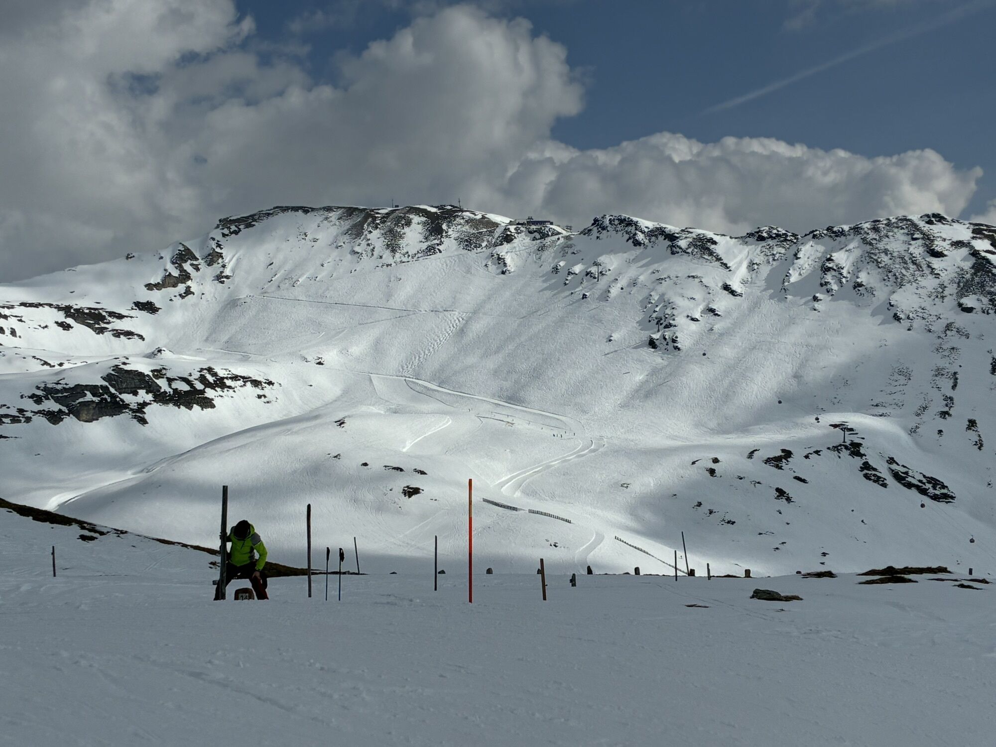

An ascent eased by the gondola, a short climb to a mountain directly on the main Alpine ridge that should not be underestimated in terms of avalanche danger. Then over 1,000 meters of descent await towards...
An ascent eased by the gondola, a short climb to a mountain directly on the main Alpine ridge that should not be underestimated in terms of avalanche danger. Then over 1,000 meters of descent await towards Kasereck to the mid-station; if the snow conditions are right, it even goes down to Heiligenblut!
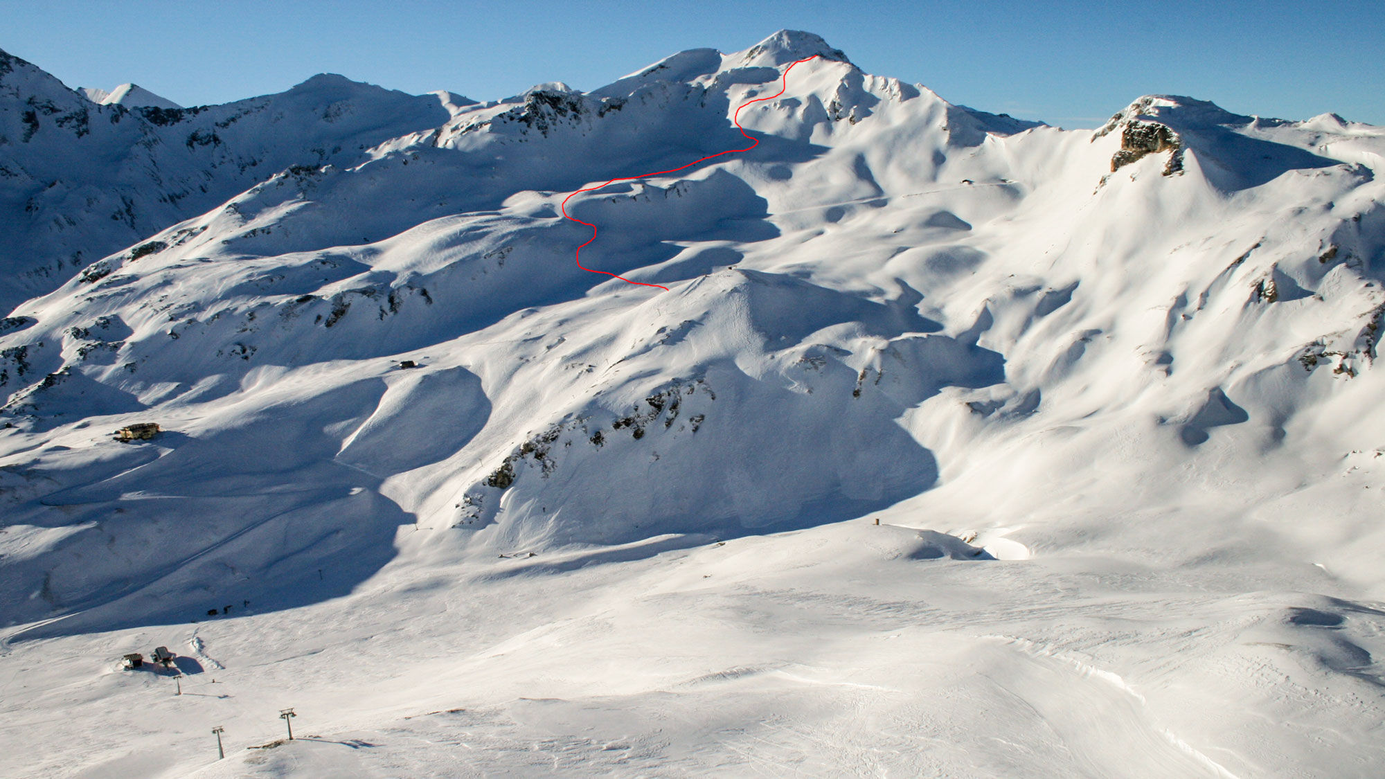
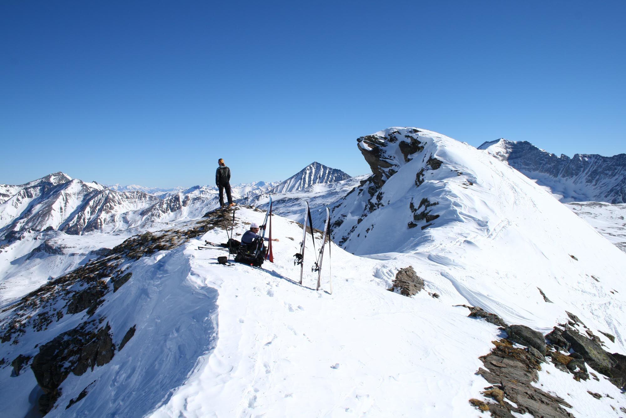
Either from the valley station in Heiligenblut or from the Rossbach mid-station by cable car to the Schareck summit. From the cable car top station, you ski over the Fallbichl piste to the Viehbühel drag lift. At its top station, first head west towards the Türnlen until the distinctive terrain, which first flattens and then steepens, leads north towards the summit ridge.
Ano
Ano
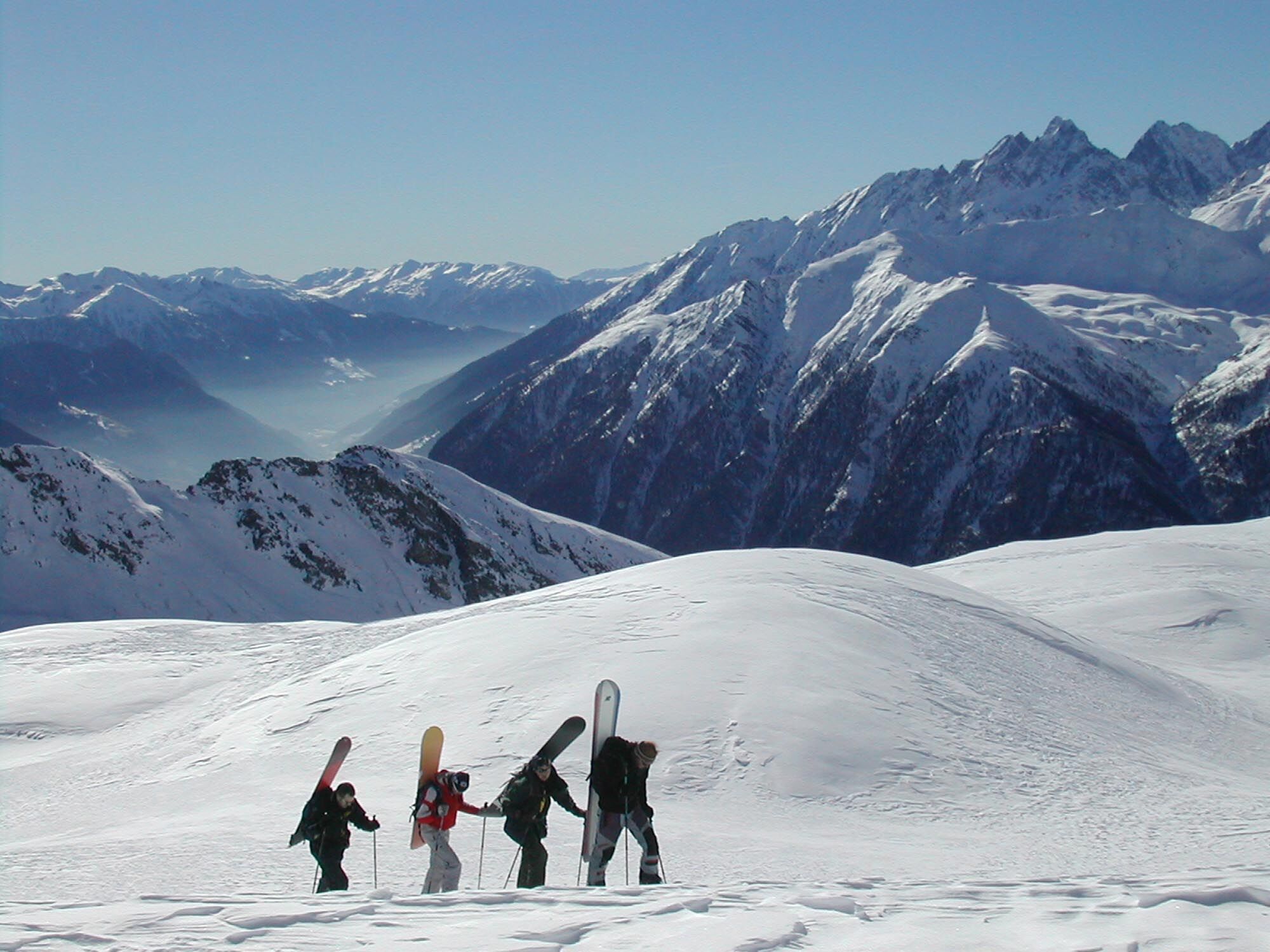
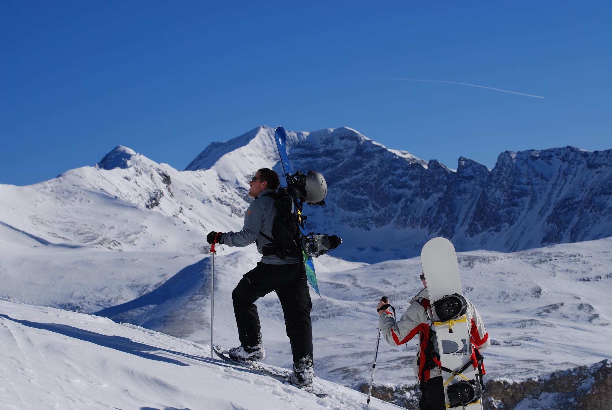
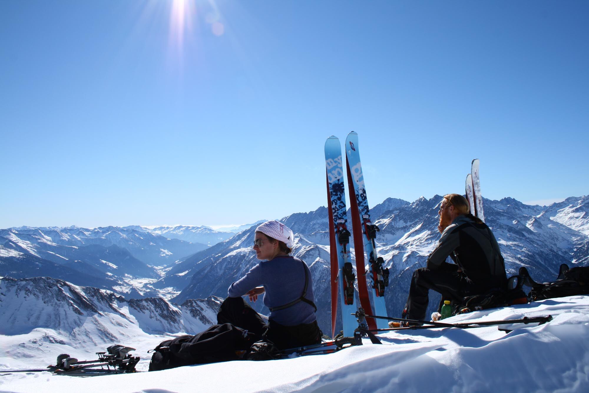
Usual ski touring and avalanche transceiver equipment. Also well suited for freeride equipment due to the short ascent.
Due to the high alpine location, often tricky avalanche conditions.
On the Großglockner federal road (B107) to Heiligenblut
Large parking garage at the entrance to Heiligenblut or the parking spaces in the area of the Rossbach mid-station.
Respect your limits! 5 rules for responsible ski touring:
Where available, stay on marked routes; absolutely observe information signs as well as protection, conservation, and restricted areas. Consider wildlife: avoid feeding areas and immediately and calmly retreat when spotting any wild animals. Avoid young tree cultures (under three meters); ski edges can cause significant damage to the trees. Leave no waste behind. Avoid noise.Important for ski touring: prohibited to ride in young forest and reforestation areas
Ask for the ski touring map at the lift ticket office.
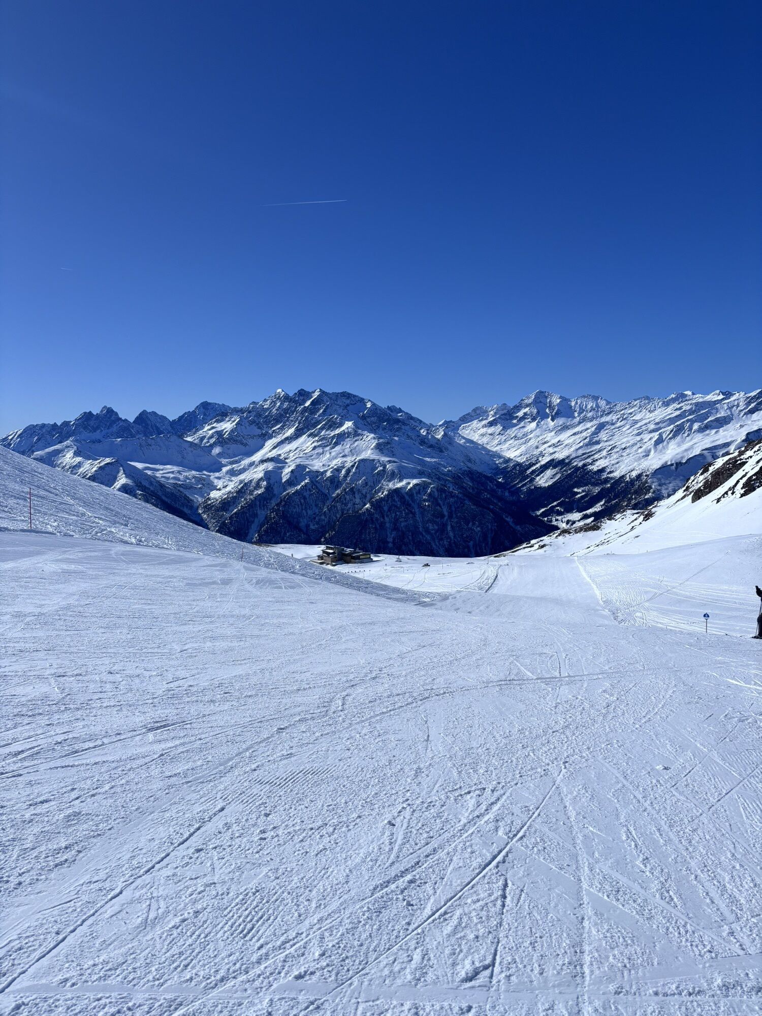
For powder snow in spring, an additional descent on the north side down to the Glocknerstraße is recommended.
Webové kamery z prohlídky
-
Heiligenblut Ort
-
Fallbichl
-
Rossbach Mittelstation
-
Großglockner - Edelweißspitze
-
Großglockner - Fuschertörl
-
Mesenatenhütte, Wallackhaus
-
Mesenatenhütte, Wallackhaus
-
Schareck
-
Fallbichl
-
Fallbichl
-
Fallbichl
-
Rossbach Mittelstation
-
Rossbach Mittelstation
-
Rossbach Mittelstation
-
Heiligenblut Ort
-
Heiligenblut Ort
-
Heiligenblut Ort
-
Heiligenblut Ort
Oblíbené prohlídky v okolí
-
4.7
Geotrail Tauernfenster
světloTuristika 5.90 km -
4.7
Hohe Sonnblick Up
heavyTuristika 9.14 km -
4.9
Glockner
středníVysokohorská turistika 19 km -
4.5
Niedersachsenhaus
středníTuristika 4.84 km -
3.9
Glacier Route to the Pasterze with Gamsgrubenweg (up to Tunnel 6)
středníTuristika 8.05 km -
4.3
Stüdlhütte -Großglockner
Turistika 4.68 km -
5.0
Rifflscharte - Kolmkarscharte - Bockhartscharte - Sportgastein
středníTuristika 13.5 km -
4.9
Kaiser-Franz-Josefs-Höhe to Oberwalderhütte
heavyTuristika 5.52 km -
4.9
Großes Wiesbachhorn 3564 mnv Kaprun, Austrija
heavyTuristika 13.4 km -
4.3
Lucknerhaus zur Glorerhütte über Lucknerhütte zurück
středníTuristika 11.2 km

Pěší turistika a stopování


Nenechte si ujít nabídky a inspiraci pro vaši příští dovolenou
Vaše e-mailová adresa byl přidán do poštovního seznamu.