







SW_N7 Kirchbacher Wipfelalm
From the parking lot near the sports field in Oberdöbernitzen on the shady side of the Gail Valley, the route leads partly over forest roads and some possible shortcuts to your destination – the Wipfalm....
From the parking lot near the sports field in Oberdöbernitzen on the shady side of the Gail Valley, the route leads partly over forest roads and some possible shortcuts to your destination – the Wipfalm. From here you have a wonderful view of the king of the Gailtaler Alps – the Reißkofel.

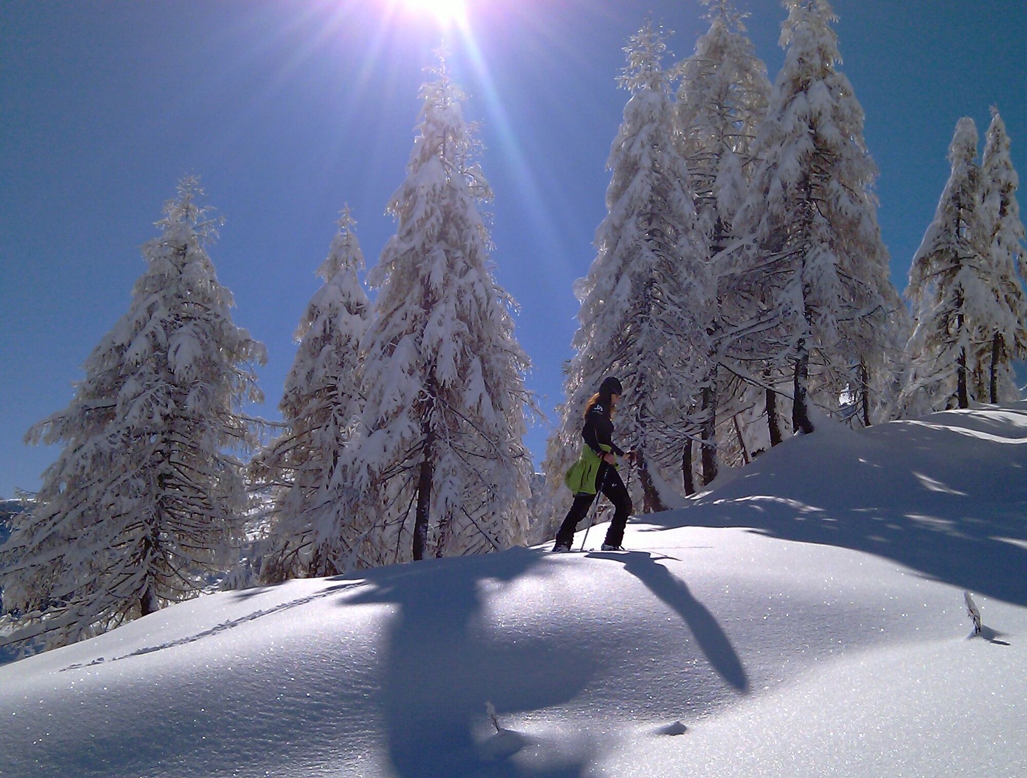

Moderate snowshoe route with a beautiful view of the Gail Valley.
Ano
FAIR PLAY & RESPECT:
Care for nature – landowners – your health.... and safety on the mountain have the highest priority for your route and the related route planning!
Therefore, inform yourself about the rules of conduct before every snowshoe hike - Mountain Safety, as well as the current snow and avalanche report Carinthia Avalanche Warning Service and the weather situation.
Waste disposal:
Waste is not always avoidable – but it has no place in nature and must be disposed of properly (preferably in the valley or at home).
Emergency numbers:
European emergency number: 112 (accessible on any available network)
Mountain Rescue Austria: 140
Arrival by car:
From Hermagor via the B111 (Gailtal Road) or from Oberdrauburg via the B110 (Plöcken Pass Road) to Kötschach-Mauthen and from there continue via the B111 (Gailtal Road) to Oberdöbernitzen.
The most sustainable way to get there is by train to Oberdrauburg (coming from Lienz or Villach) or to Hermagor (coming from Villach).
From Oberdrauburg or Hermagor you can then take the bus to the town of Kirchbach.
Details at - Nassfeld Mobility Info as well as Kärntner Linien Route Planner
Free parking spaces are available in the area of the Gail Bridge Oberdöbernitzen.
Are you looking for snowshoe hiking route tips in the region and a certified guide for a guided snowshoe hike?
You can find this and many more infos at – Route tips and provider info
In the municipality of Kirchbach there are numerous year-round open places to eat – details at Service A-Z
Získejte přehled Vždy živě na místě s více než 9 500 webkamerami. bergfex Jako uživatel Pro si nyní můžete zobrazit odpovídající webové kamery pro mnoho prohlídek v aplikaci prohlídky z. Můžete si tak přímo prohlédnout aktuální podmínky. Oblíbené prohlídky v okolí
- 4.7
RW_N9 Weißenbachklamm
středníTuristika 7.49 km - 4.7
Drau Cycle Path R1
světloJízda na kole 75.9 km - 4.9
Weißenbachklamm
heavyTuristika 5.80 km - 4.3
Malurch Nassfeld
středníTuristika 9.60 km - 4.6
ST_N7 Gartnerkofel (2,195 m)
Lyžařská trasa 3.94 km - 5.0
Nassfeld Grenze - Gartnerkofel
světloTuristika 8.41 km - 4.6
KL_N2 Däumling
středníVia ferrata 1.78 km - 3.7
Hermagor: Gartnerkofel
Turistika 7.70 km - 4.8
RW_W4 Mittagsnock - Naggleralm - retour über Steig
středníTuristika 10.6 km - 4.9
LS_W7 "Promenade Path"
světloBěh 6.28 km
Pěší turistika a stopování


Nenechte si ujít nabídky a inspiraci pro vaši příští dovolenou
Vaše e-mailová adresa byl přidán do poštovního seznamu.





