







SW_N17 Tressdorfer Höhe


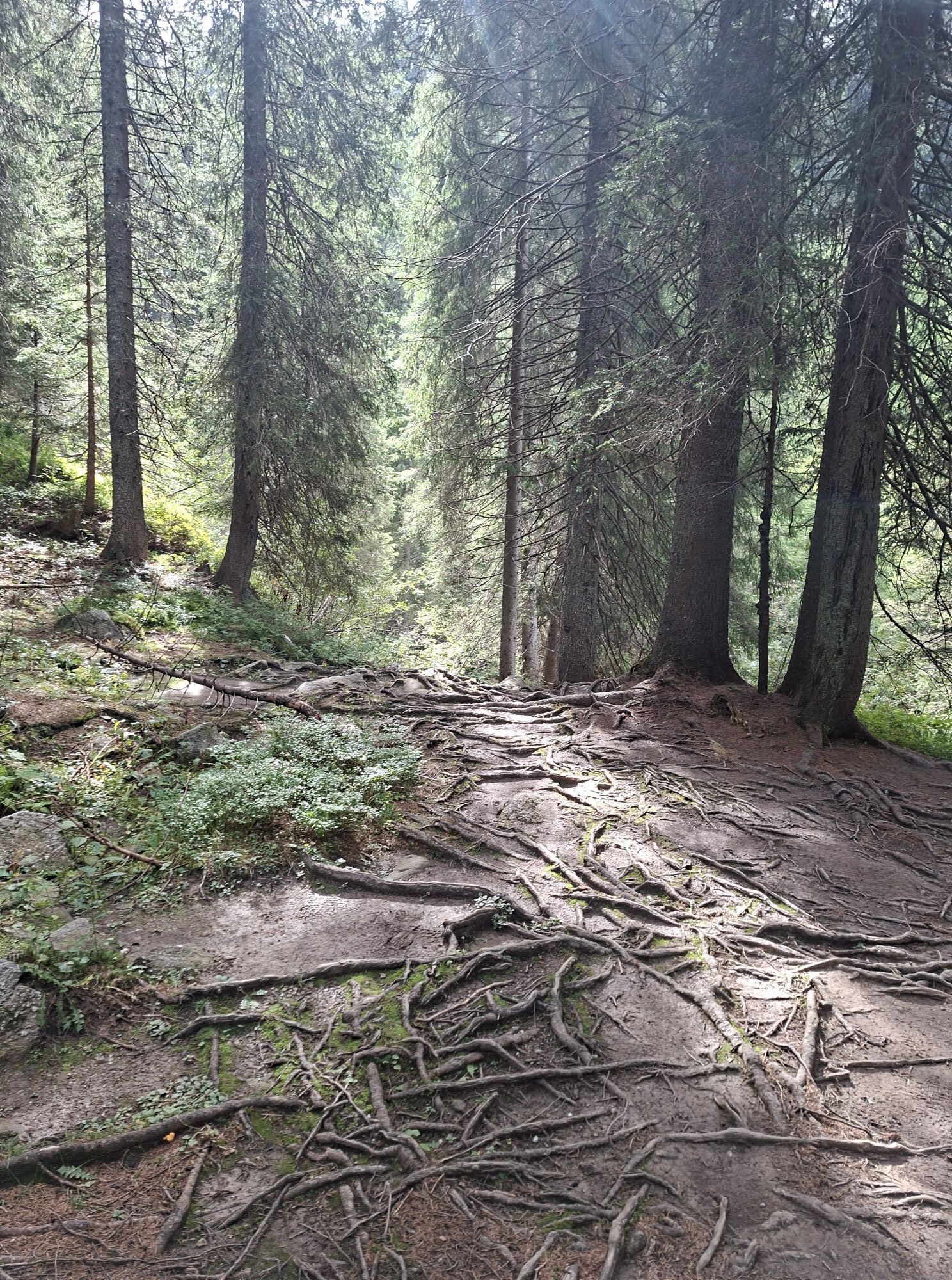
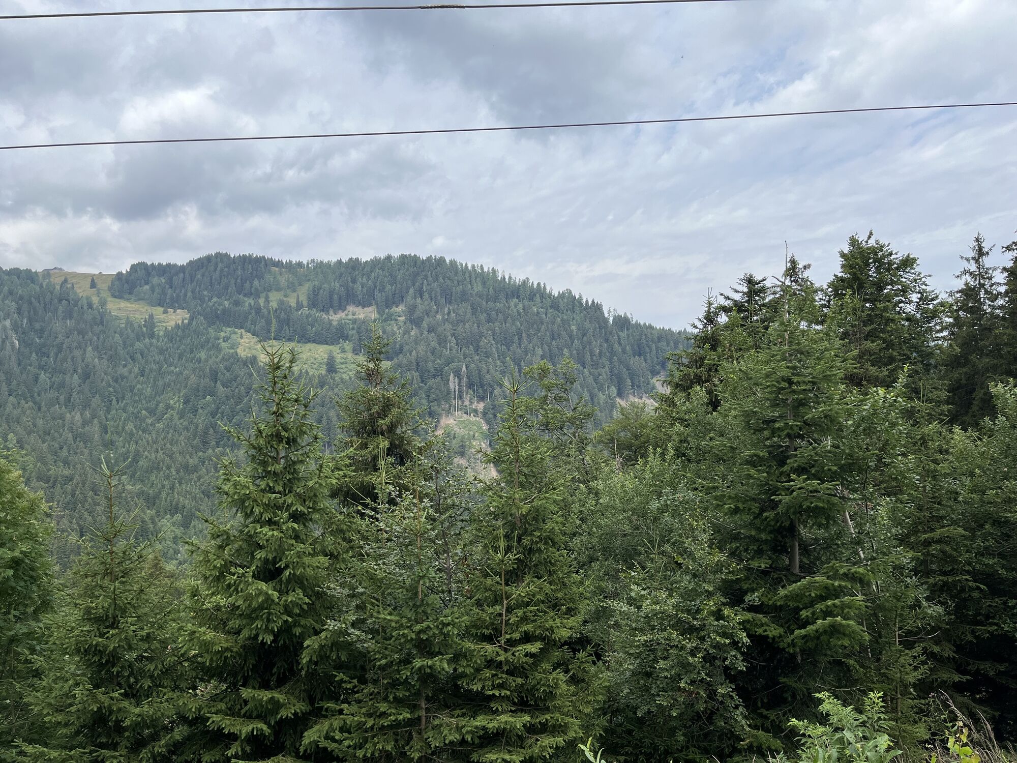
The idyllic snowshoe hike leads you mostly through snowy forest sections, from the valley station of the chairlift to the mountain station - Tressdorfer Höhe.

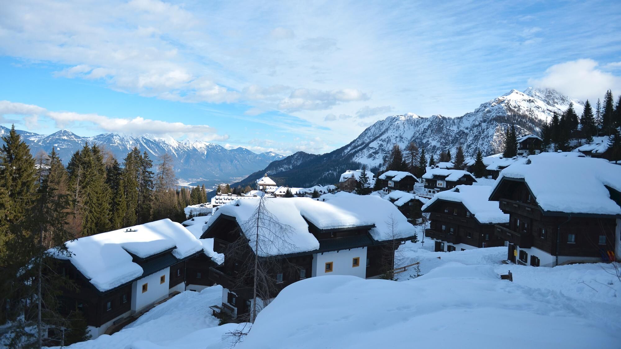

At the end of the resort, directly at the forest edge, the route initially leads straight ahead along the wooded forest road. Immediately after the start of the route, you reach a fork – here continue straight ahead and reach a clearing at around 1,400m. You cross this and immediately after turn left into the forest clearing. Then you reach another forest road which you follow to its "end".
The route then runs for some time on the left (parallel) side of the Rudnigbach before winding over smaller, open forest areas towards the mountain station of the Sonnleitn chairlift.
Further on, the forest thins out before you cover the last meters on open ground.
Return:
Once at the summit, various descent options in all directions are possible depending on snow conditions, and you can also continue your tour to Garnitzenberg.
The indicated time only includes the ascent time, not the return/descent.
Ano
Mindfulness for nature – landowners – your health... and safety in the mountains are the highest priorities on your route and associated planning!
Therefore, check the rules of behaviour before every snowshoe hike - Mountain Safety, as well as the current snow and avalanche report Carinthian Avalanche Warning Service and weather conditions.
Waste disposal:
Waste is not always avoidable – but it has no place in nature and must be disposed of properly (preferably in the valley or at home).
Emergency numbers:
European emergency number: 112 (accessible on any available network)
Austrian Mountain Rescue: 140
Coming from Hermagor or Kötschach-Mauthen, drive along the B111 (Gailtal Road) towards Tröpolach/Nassfeld junction – from there continue via the B90 (Nassfeld Pass Road) to the Sonnleitn junction. Here, turn right onto the L22a and follow the road.
Public transport:
The most sustainable option is by train (coming from Villach) to Hermagor. From Hermagor, you reach Tröpolach by the station shuttle and bus/skibus.
Alternatively, there is also the option to travel by bus from Kötschach-Mauthen or Villach to Hermagor or Tröpolach.
From Tröpolach, take the Millennium Express up and then the chairlift descent to the Sonnleitn valley station, the starting point of your snowshoe hike (allow for a somewhat longer walk to reach the chairlift descent).
Details at - Nassfeld Mobility Info and Kärntner Linien Route Planner
Free parking is available at the valley station of the Sonnleitn chairlift.
You can find this and many more infos at - Route tips and provider info
Food options:
A variety of restaurants, huts, etc. in the Nassfeld ski area - details at Service A-Z
For the return trip, you can also use the descent with the chairlift.
Získejte přehled
Vždy živě na místě s více než 9 500 webkamerami. bergfex Jako uživatel Pro si nyní můžete zobrazit odpovídající webové kamery pro mnoho prohlídek v aplikaci prohlídky z. Můžete si tak přímo prohlédnout aktuální podmínky.
Oblíbené prohlídky v okolí
-
4.7
W5 - Naggler Alm Round Weissensee
středníMountainbike 15.8 km -
4.6
RW_N9 Weißenbachklamm
středníTuristika 7.49 km -
4.8
Tarvisio - Venzone (C101)
středníCyklistika na velkou vzdálenost 64.7 km -
4.6
Bergstation Weißensee bis Golz
středníTuristika 14.8 km -
4.9
Weißenbachklamm
heavyTuristika 5.80 km -
4.3
Malurch Nassfeld
středníTuristika 9.60 km -
4.6
ST_N7 Gartnerkofel (2,195 m)
Lyžařská trasa 3.94 km -
5.0
Nassfeld Grenze - Gartnerkofel
světloTuristika 8.41 km -
4.6
Poludnig - der Fast-Zweitausender hihi
středníTuristika 12.4 km -
4.6
KL_N2 Däumling
středníVia ferrata 1.78 km
Pěší turistika a stopování


Nenechte si ujít nabídky a inspiraci pro vaši příští dovolenou
Vaše e-mailová adresa byl přidán do poštovního seznamu.





