
Navigace na stránkách
Pořiďte si tuto prohlídku do mobilního telefonu
Mapa
Dolomites Tour
střední
Silniční kolo
125.87 km
Naskenujte QR kód a spusťte navigaci v aplikaci bergfex.
QR Code
Pěší turistika a stopování

Dolomites Tour

Vzdálenost
125.9 km
Doba trvání
11:12 h
Ascent
2961 hm
Hladina moře
619 - 1533 m

Úroveň obtížnosti: 4
Stažení skladby
Mapa
Dolomites Tour
střední
Silniční kolo
125.87 km

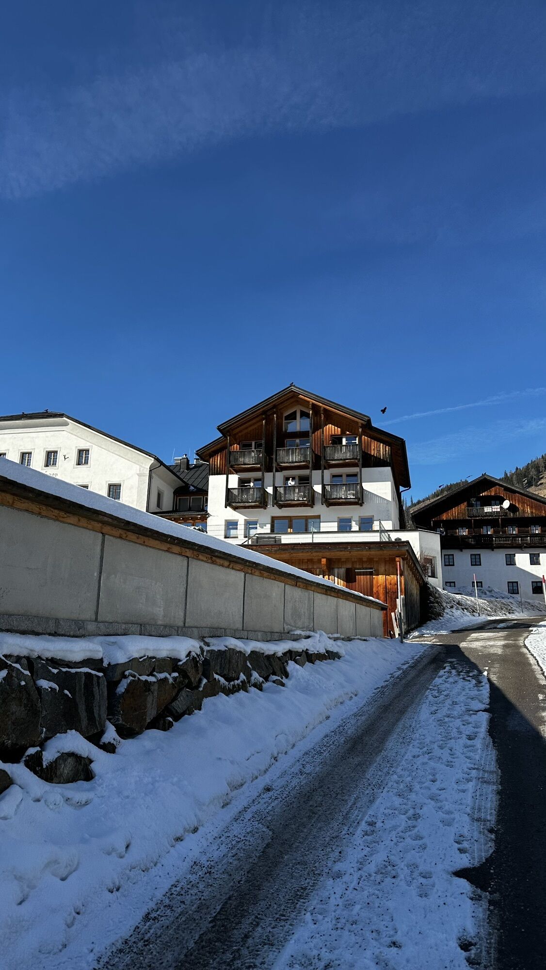
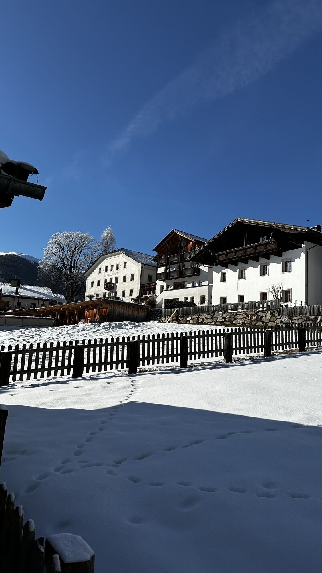
Fotografie našich uživatelů

Starting off in Oberdrauburg, the route immediately heads to the Gailberg Pass, which, however, with a consistent 6-7% gradient, is pleasant to cycle. Then it goes downhill flat towards Kötschach-Mauthen,...

Popis
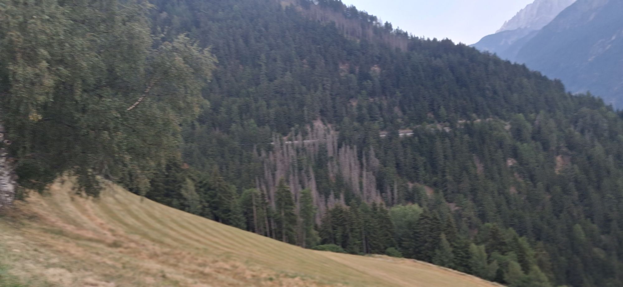
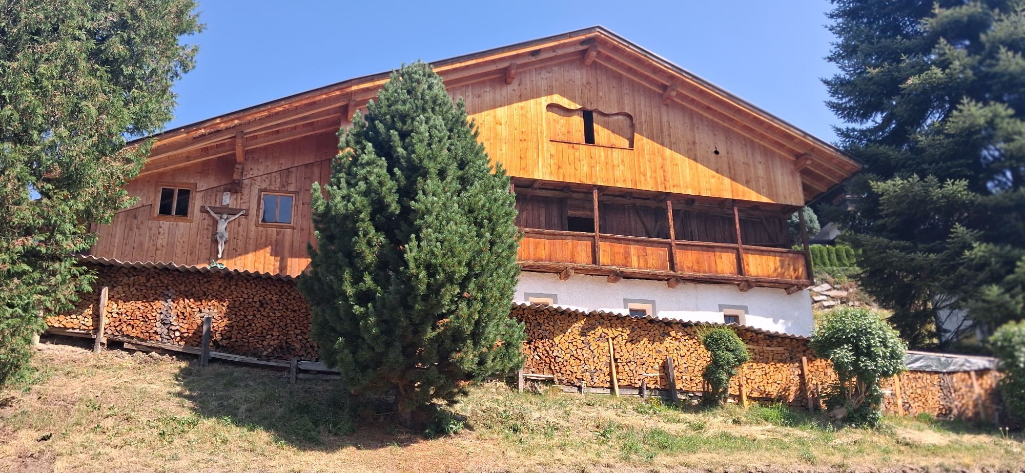
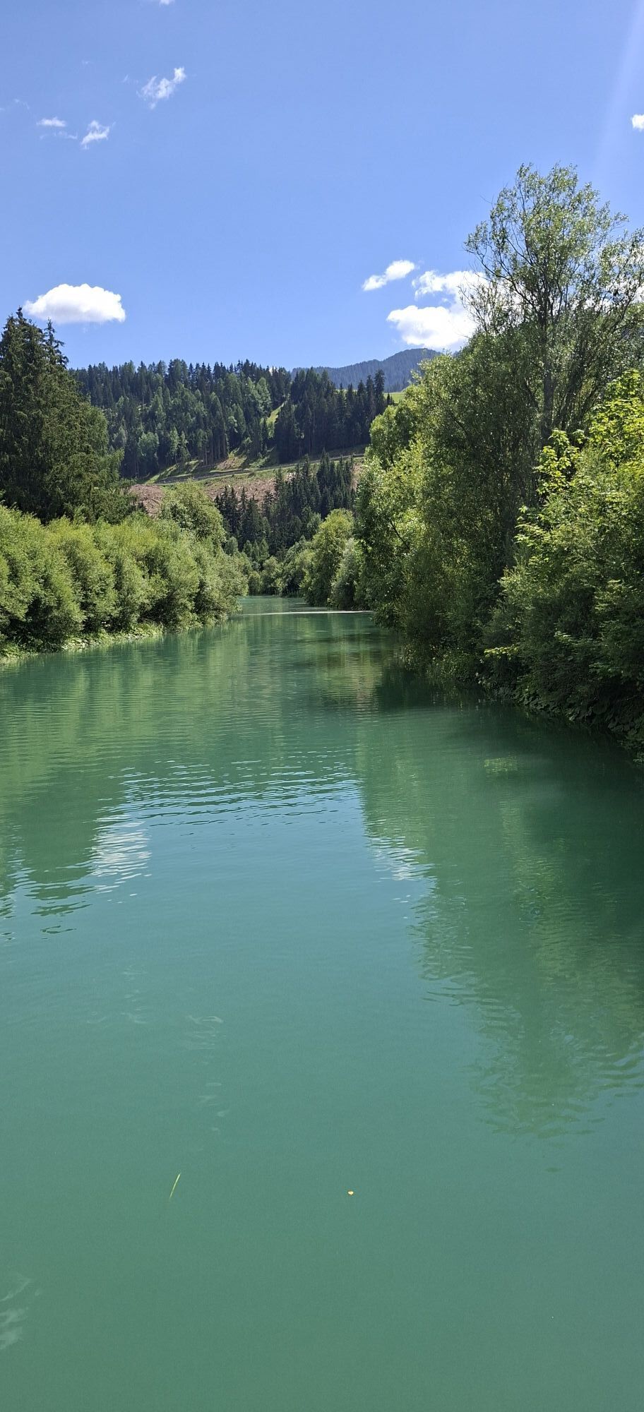
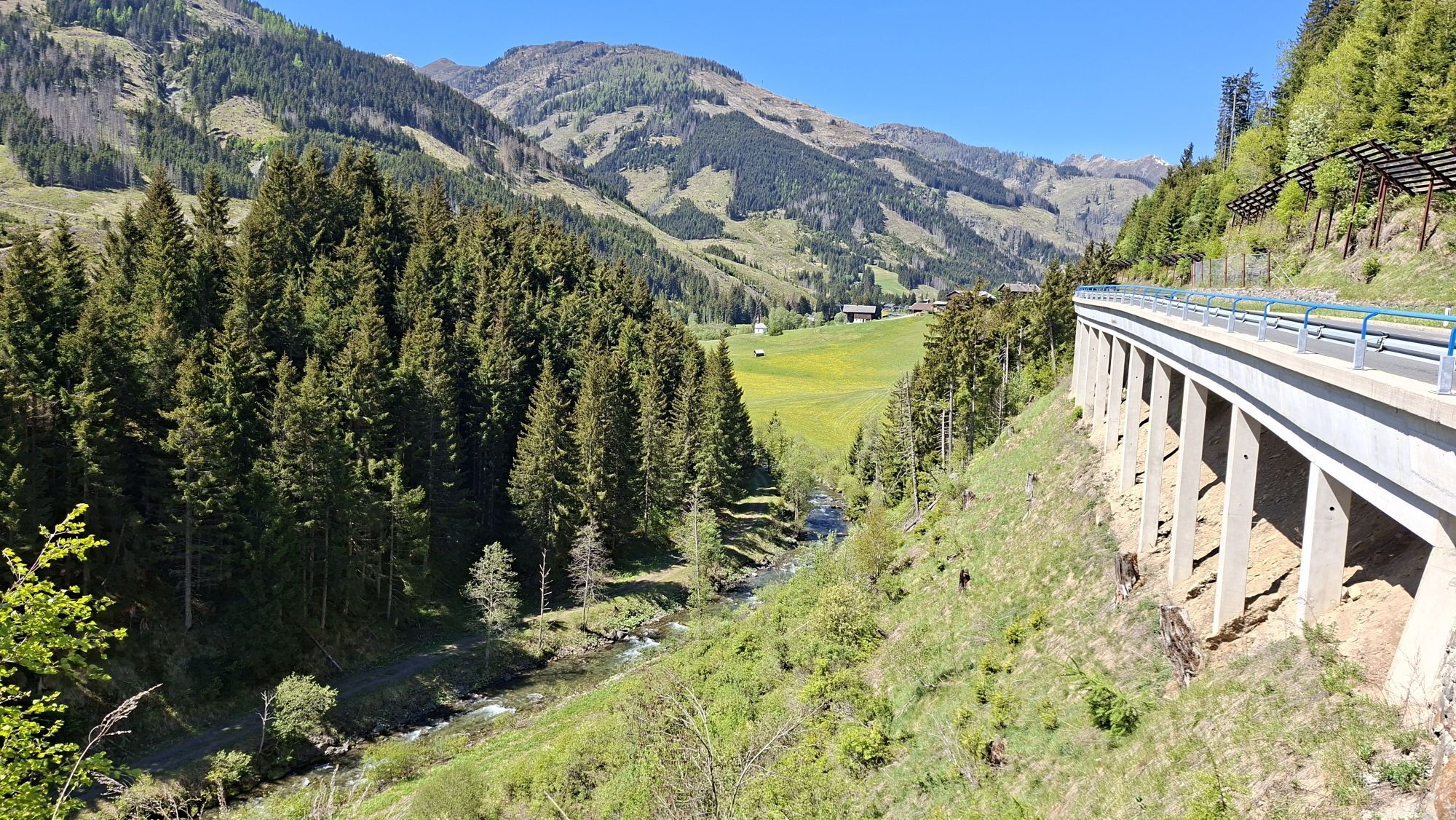
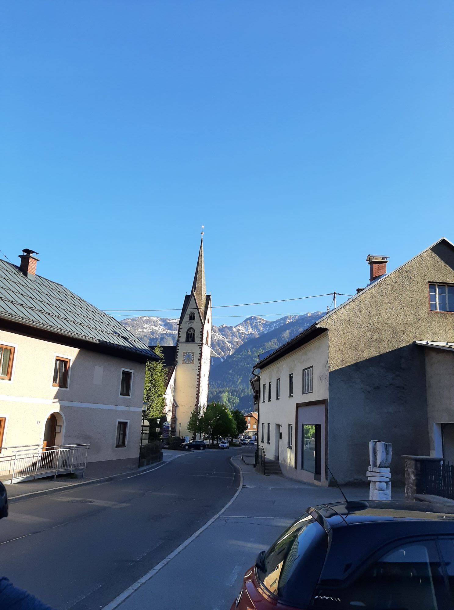
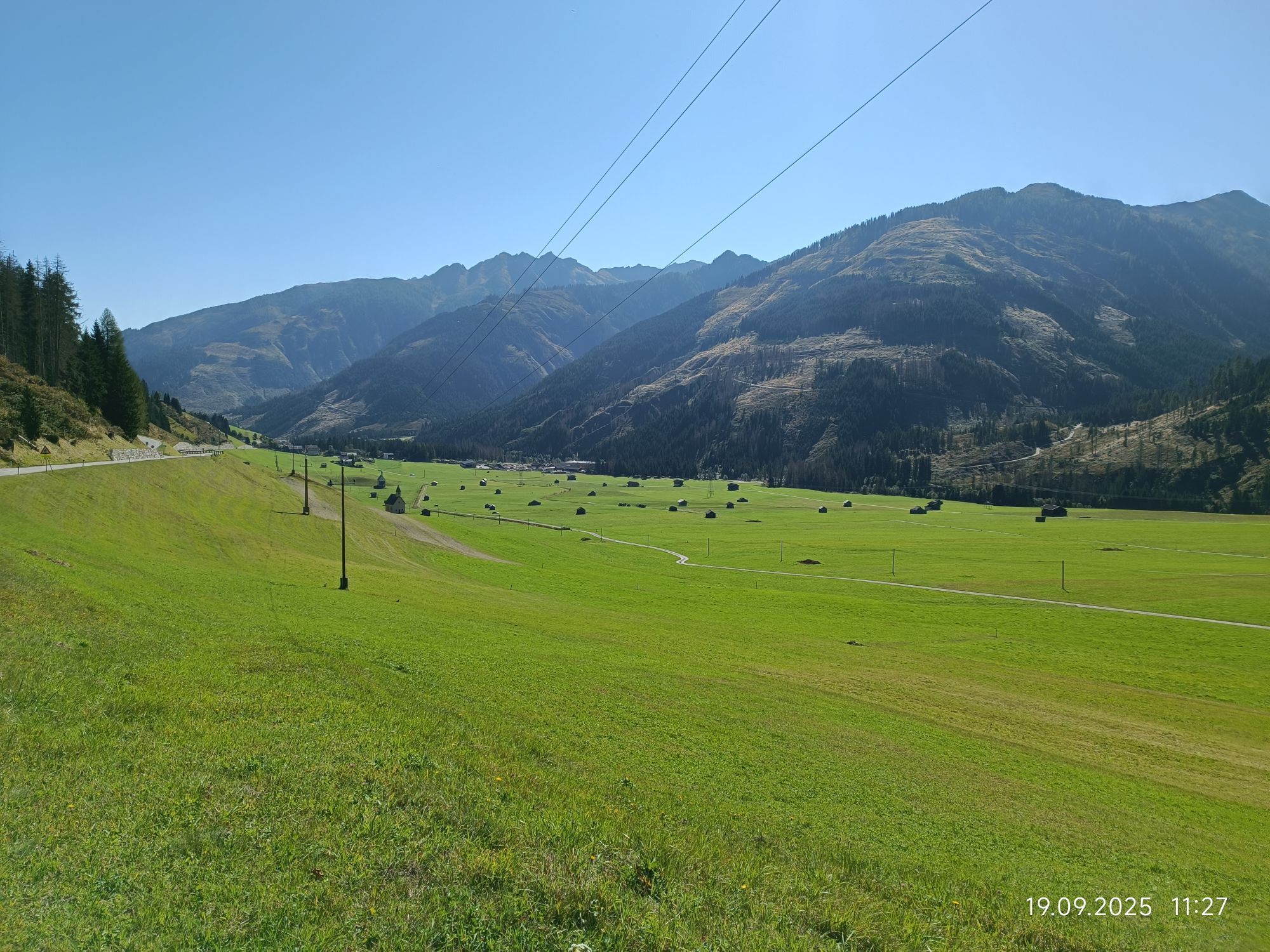
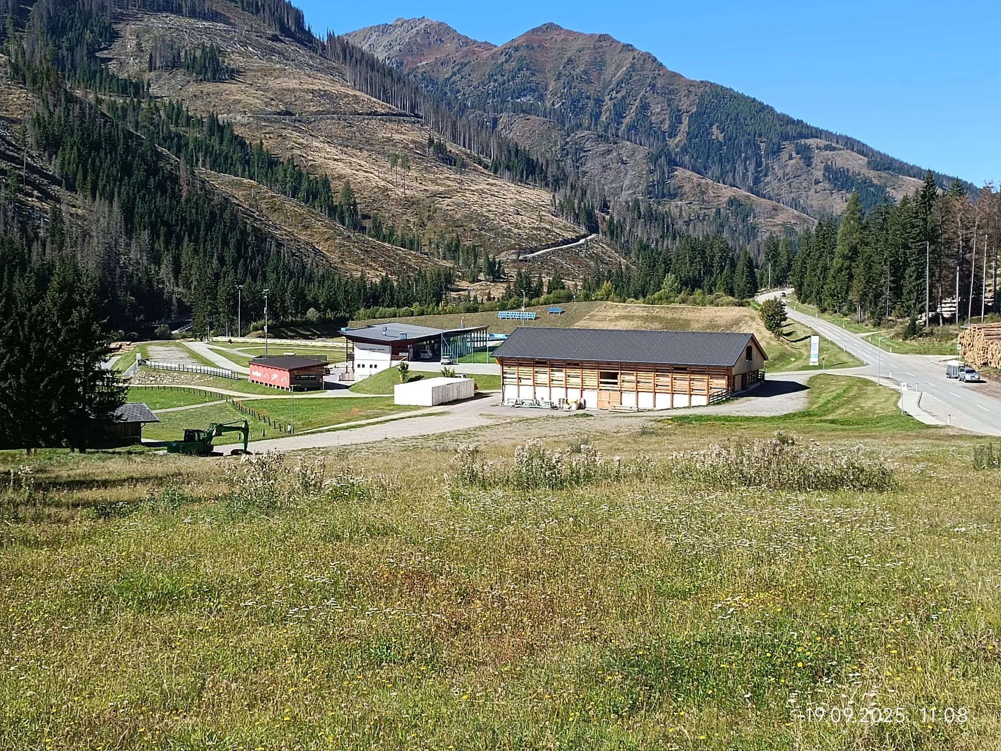
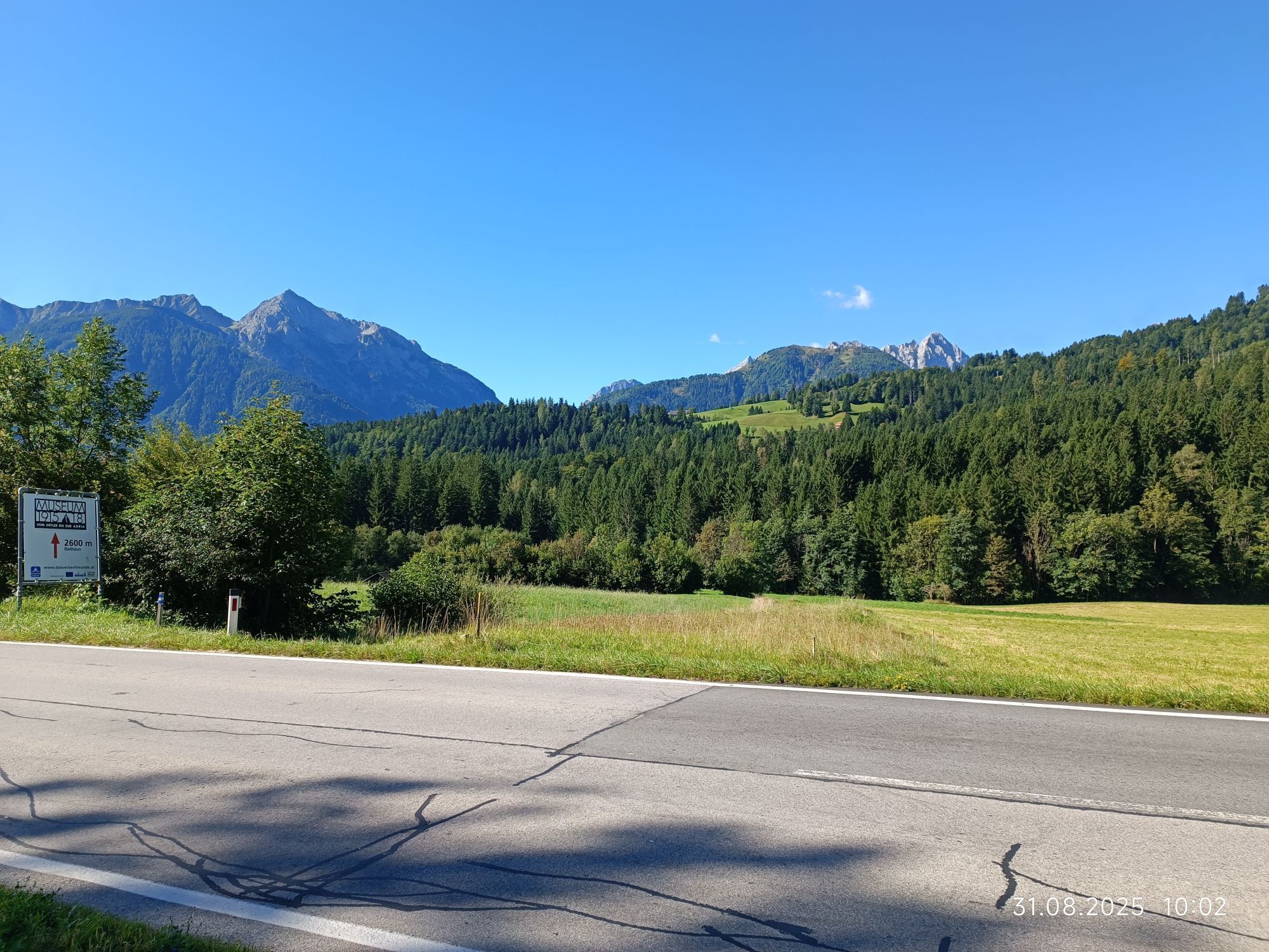
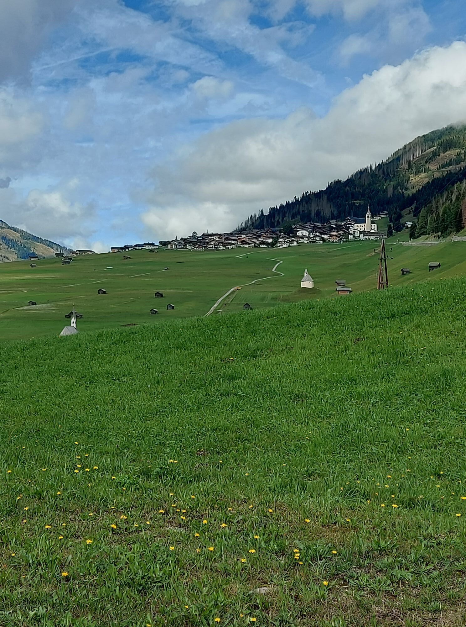
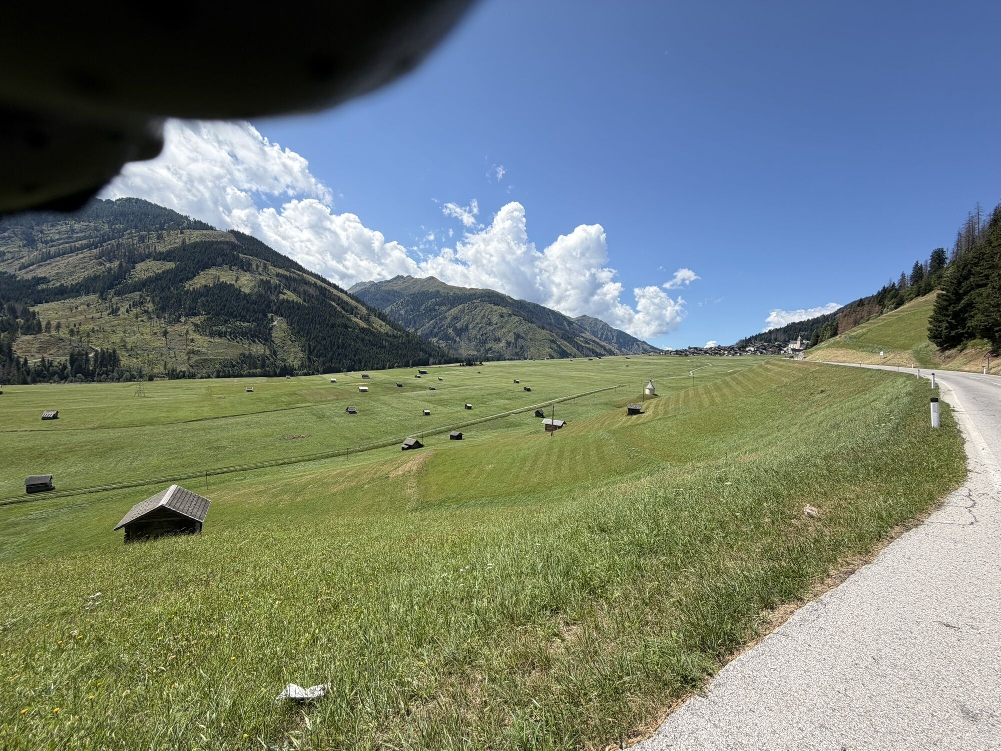
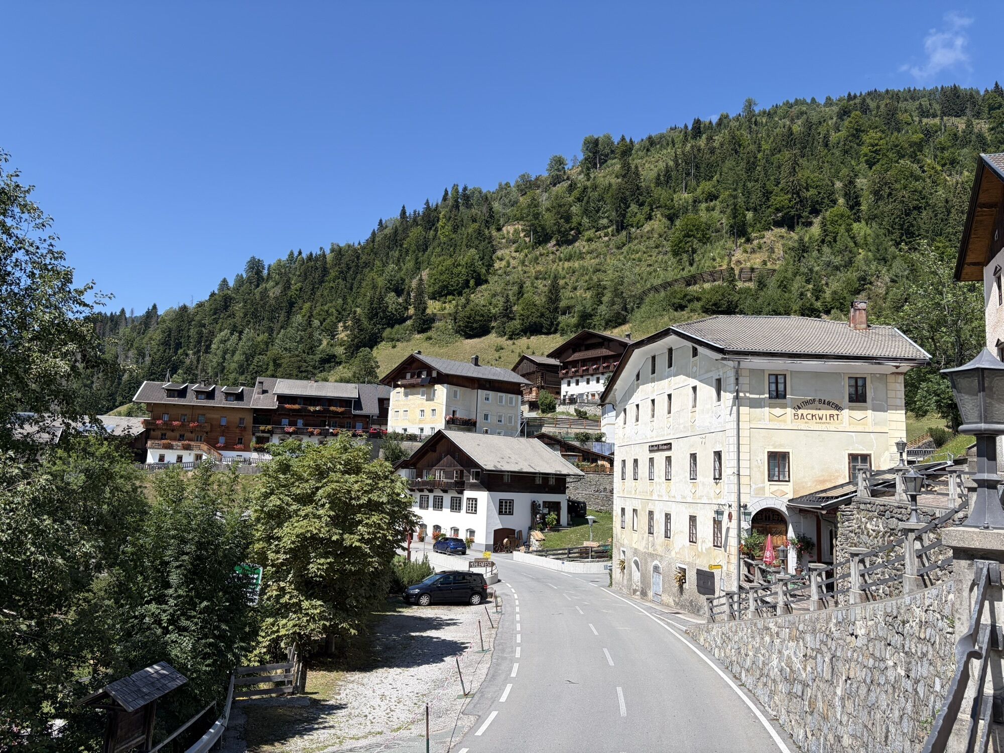
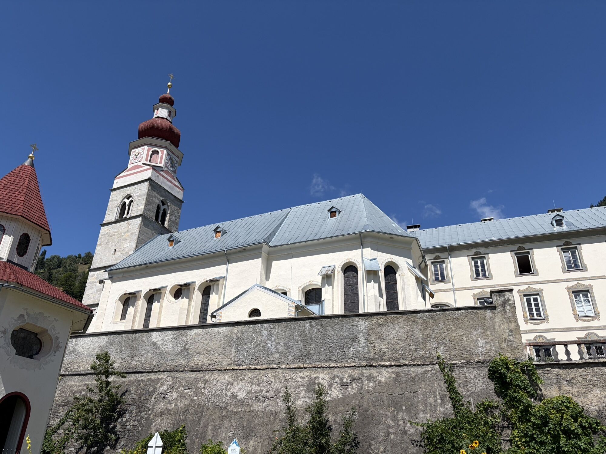
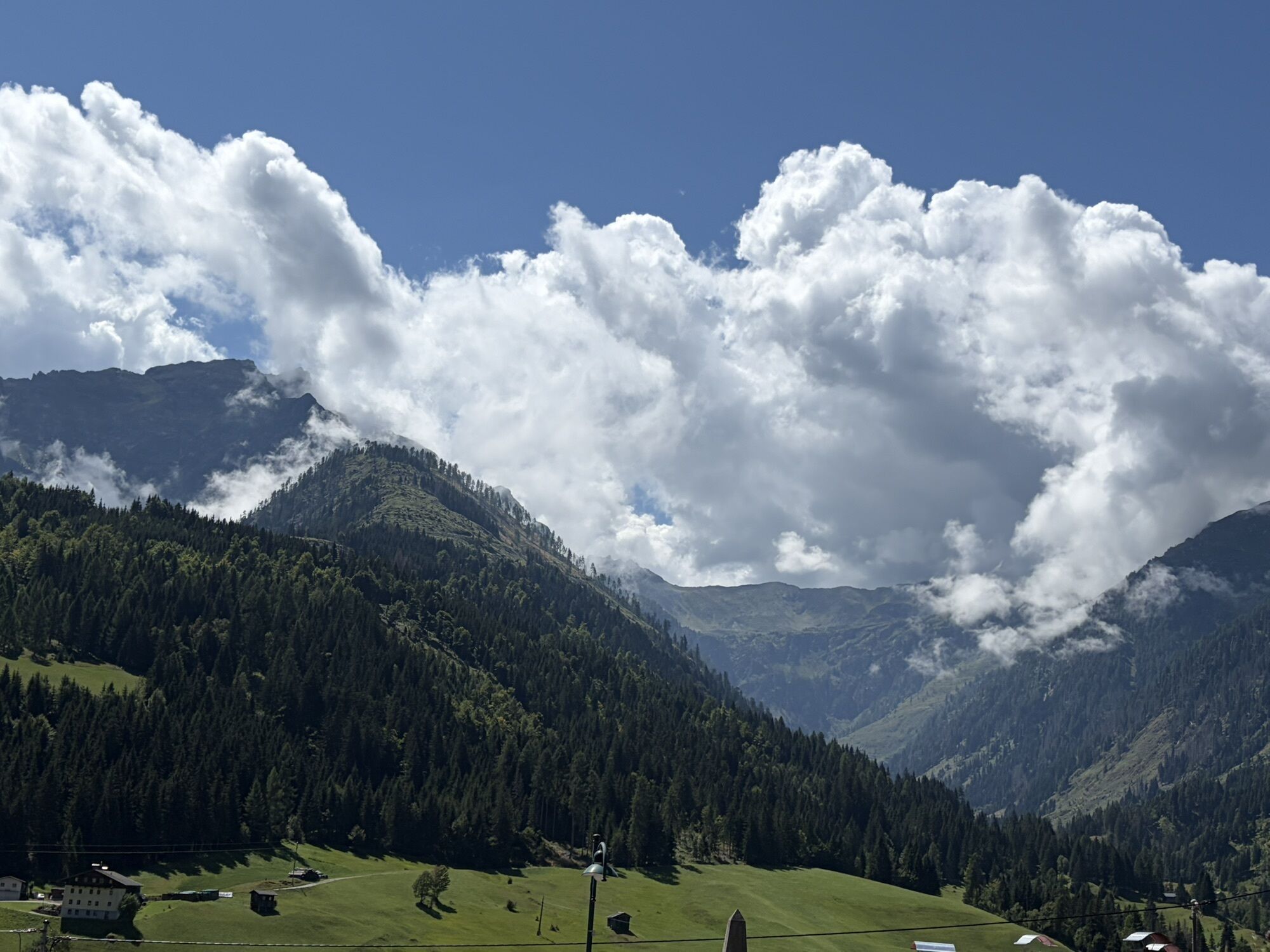
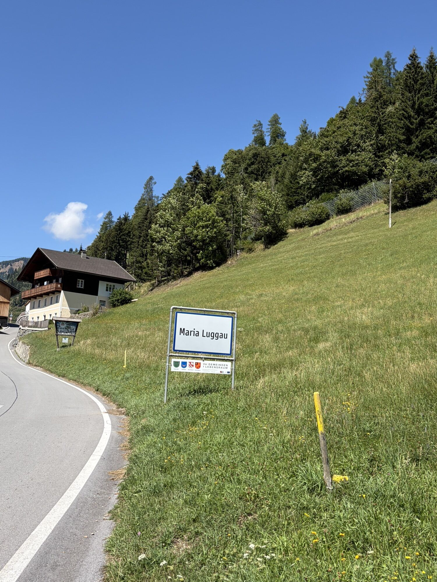
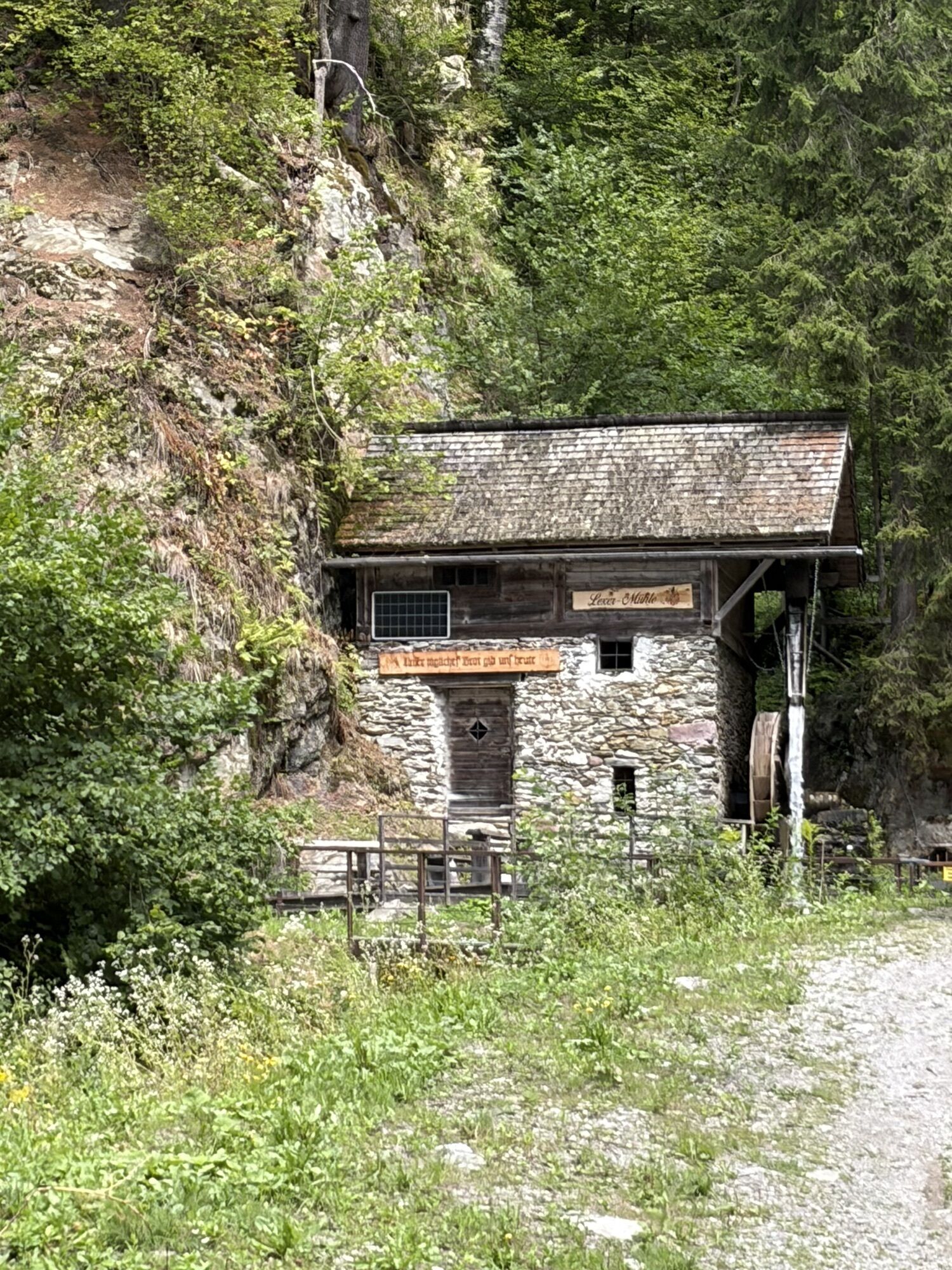
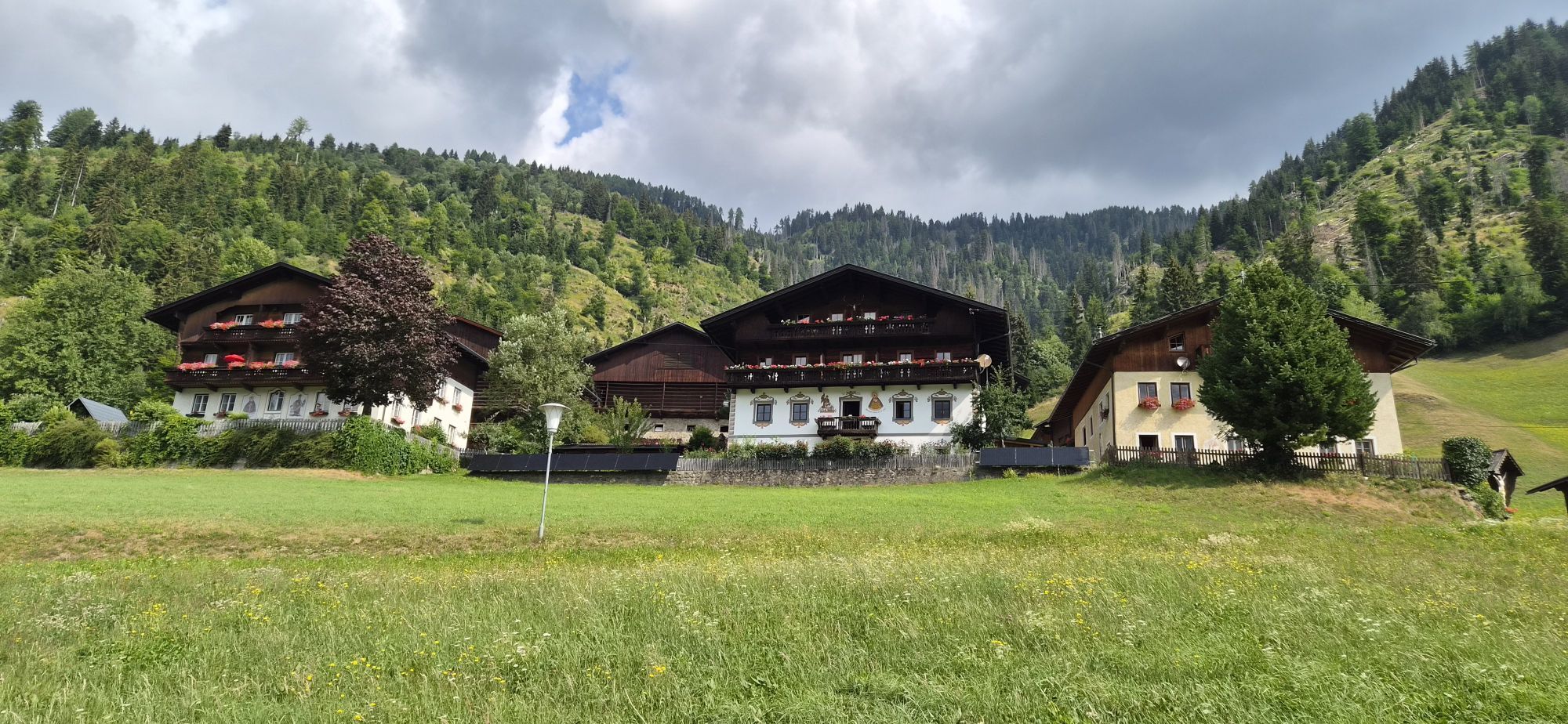
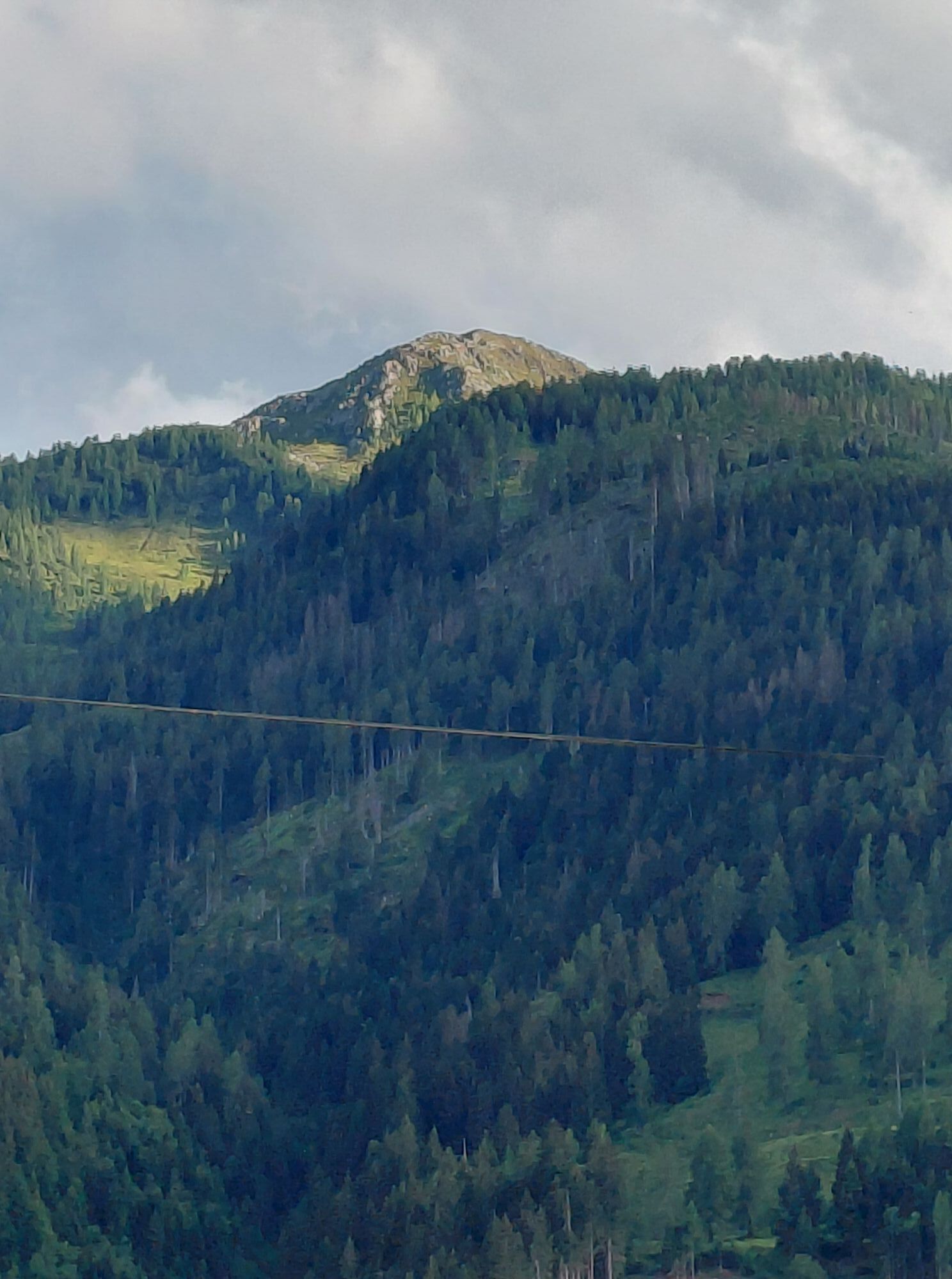
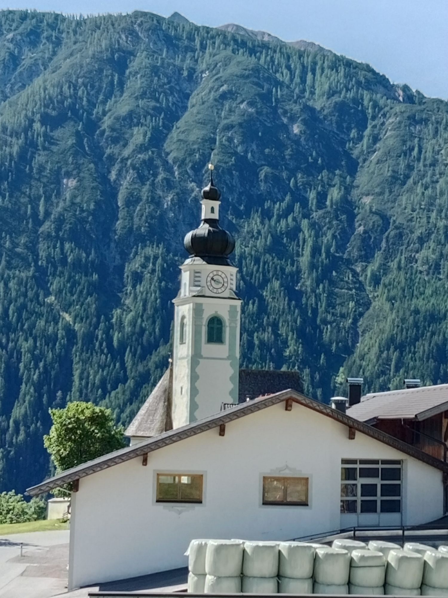
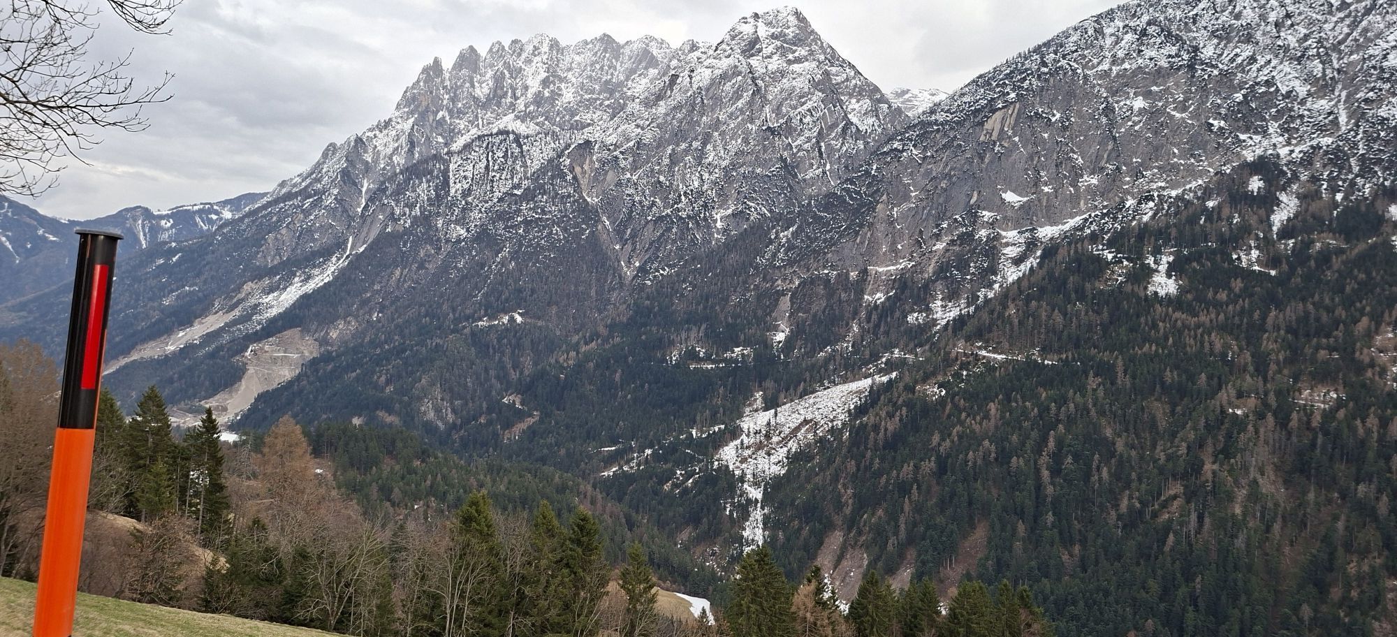
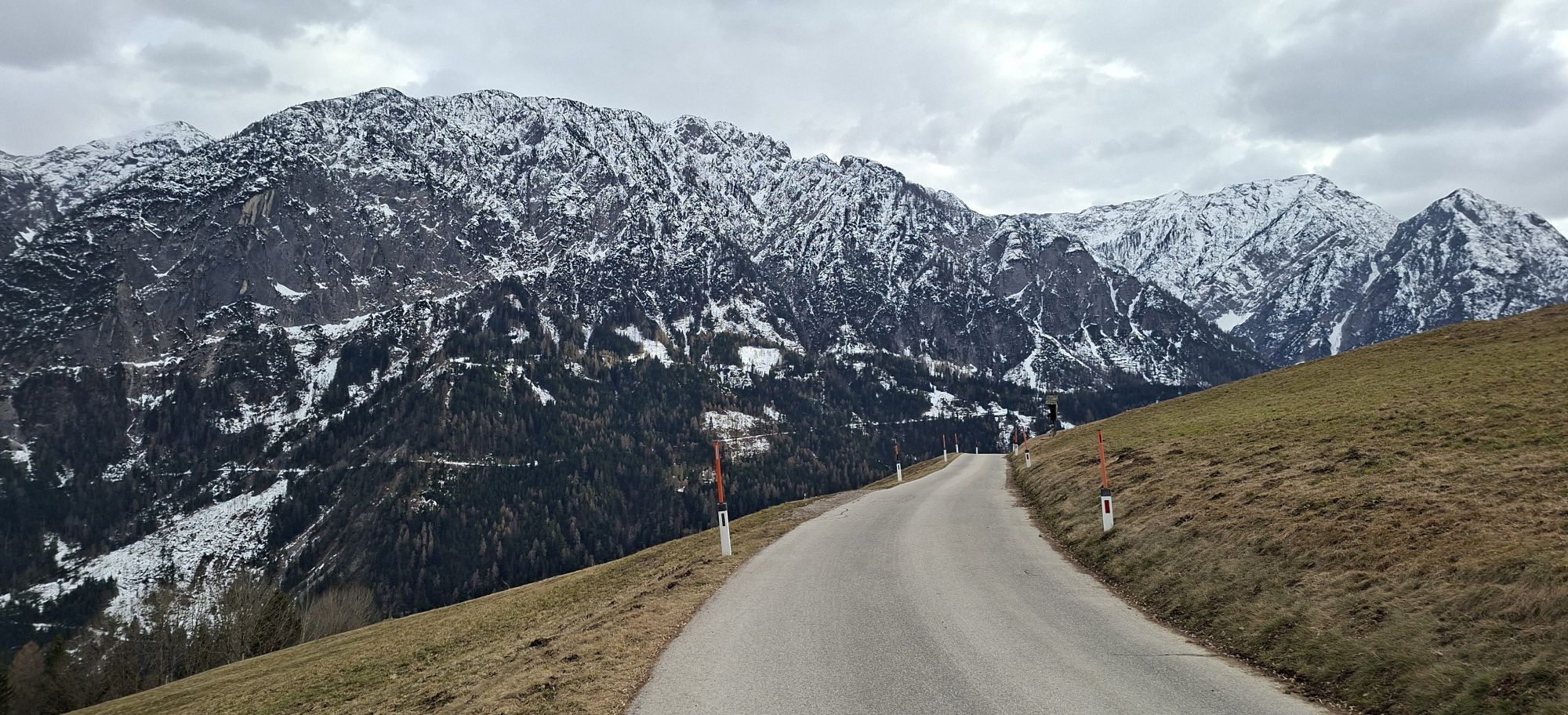
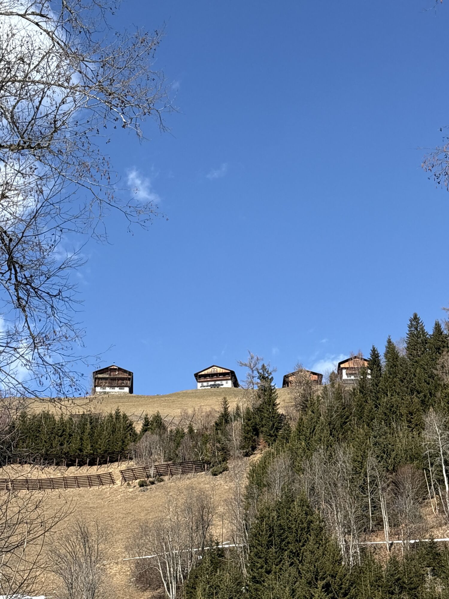
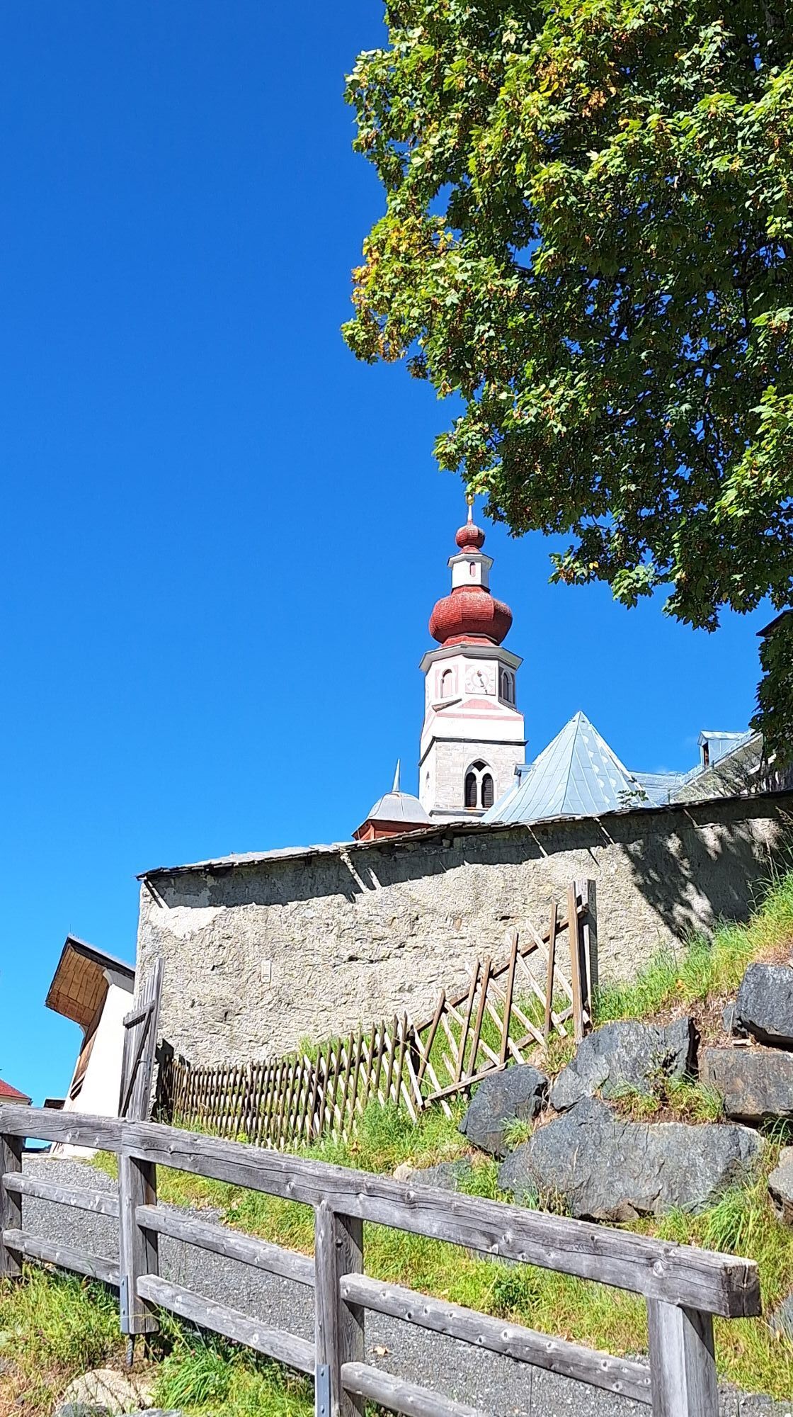
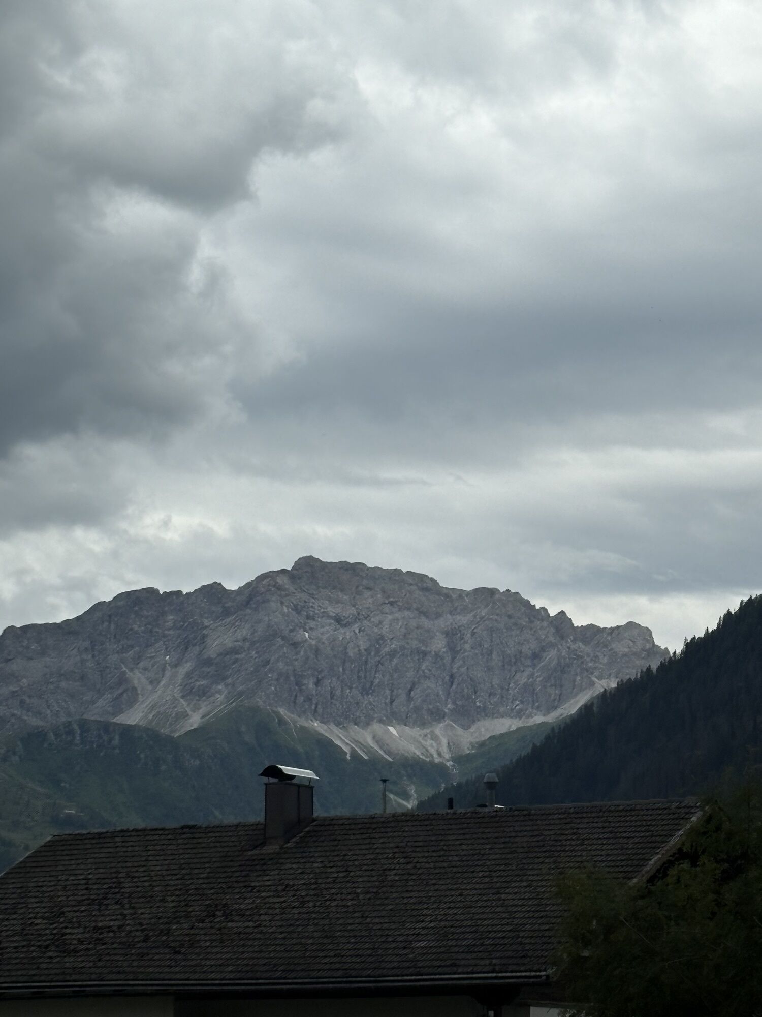
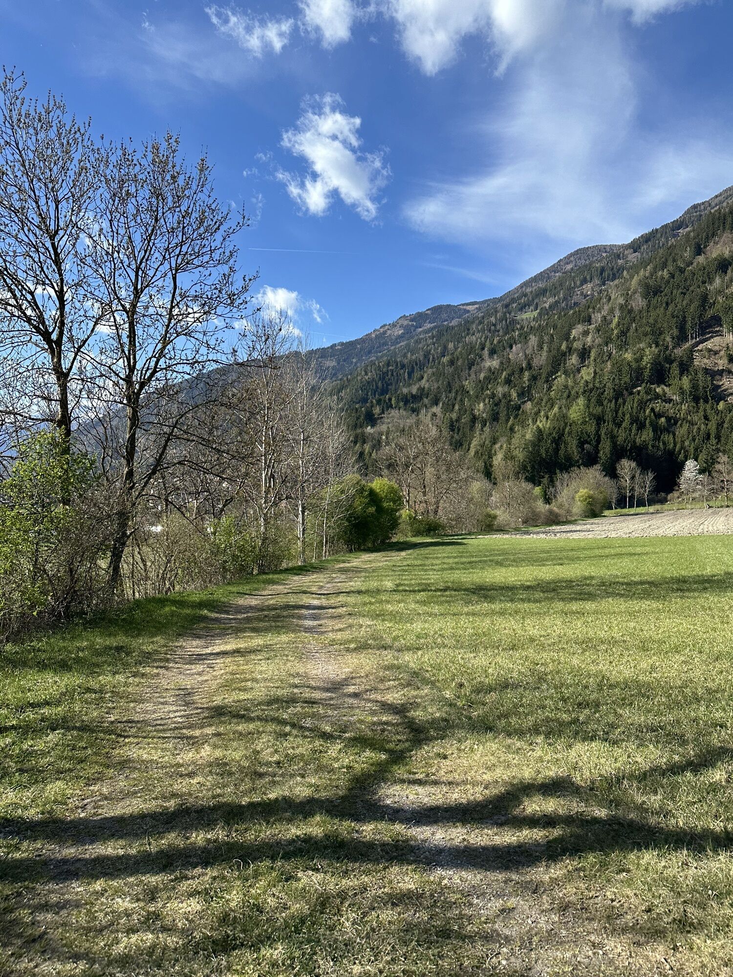
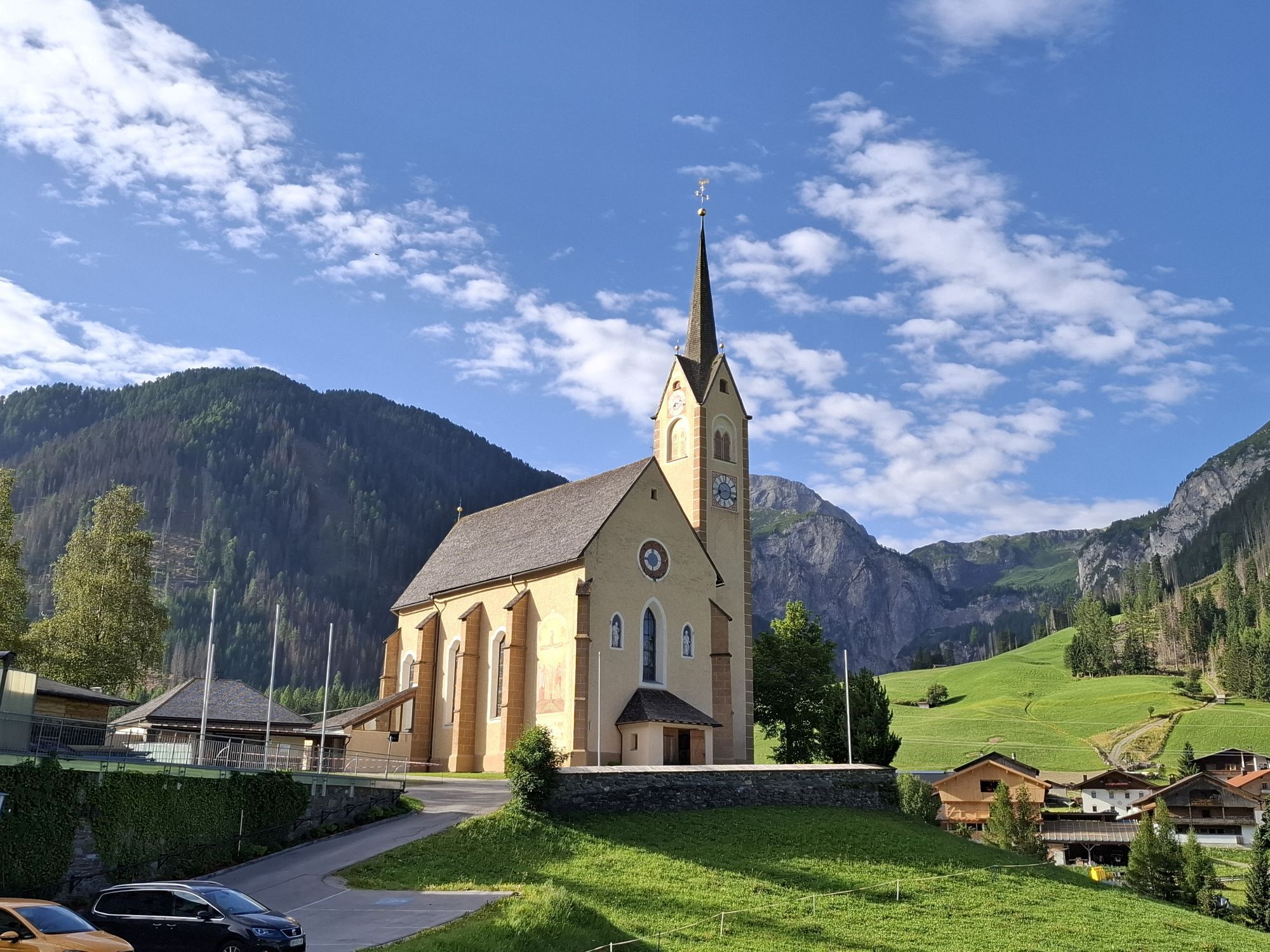
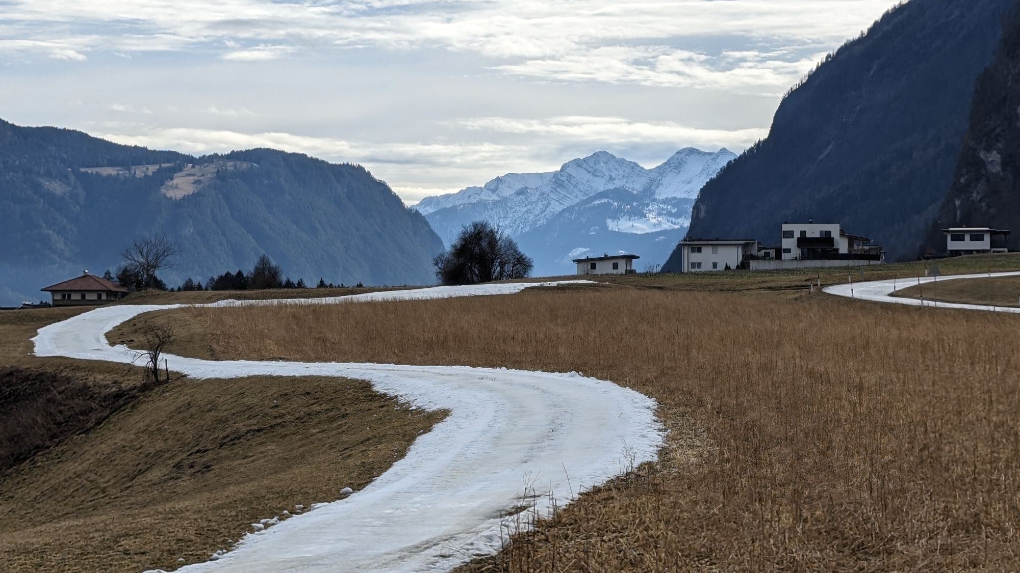
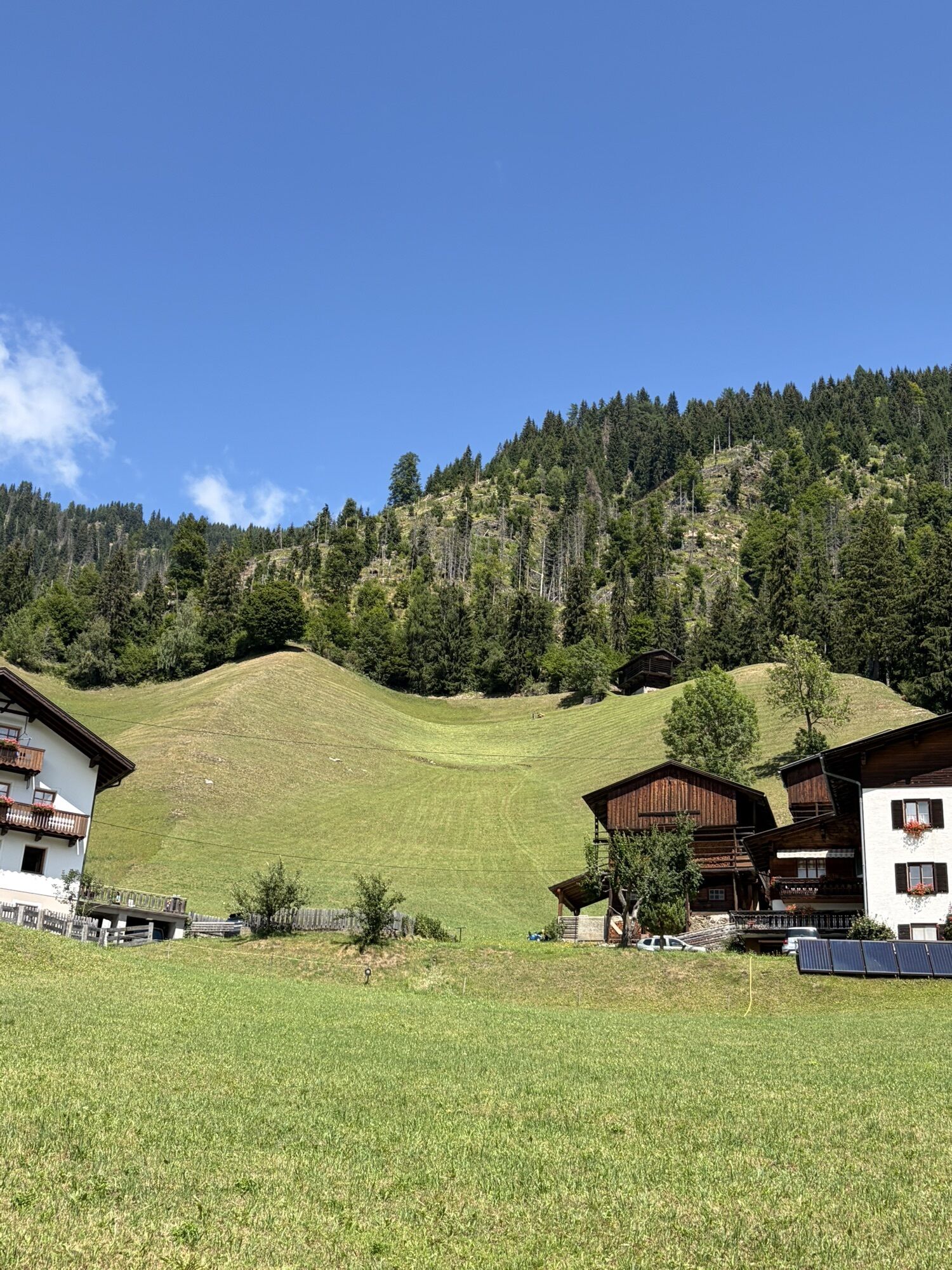
Starting off in Oberdrauburg, the route immediately heads to the Gailberg Pass, which, however, with a consistent 6-7% gradient, is pleasant to cycle. Then it goes downhill flat towards Kötschach-Mauthen, the "starting point" of the Lesachtal. The Lesachtal was named "Landscape of the Year" in 1995 and "most environmentally friendly valley in Europe" in 1991. In Lesachtal, time seems to have actually stood still in places: steep meadows, centuries-old mountain farms, and the untouched landscape let one immerse into another world. After the main villages Birnbaum, Liesing, and St. Lorenzen, you reach the pilgrimage site Maria Luggau with its famous basilica.

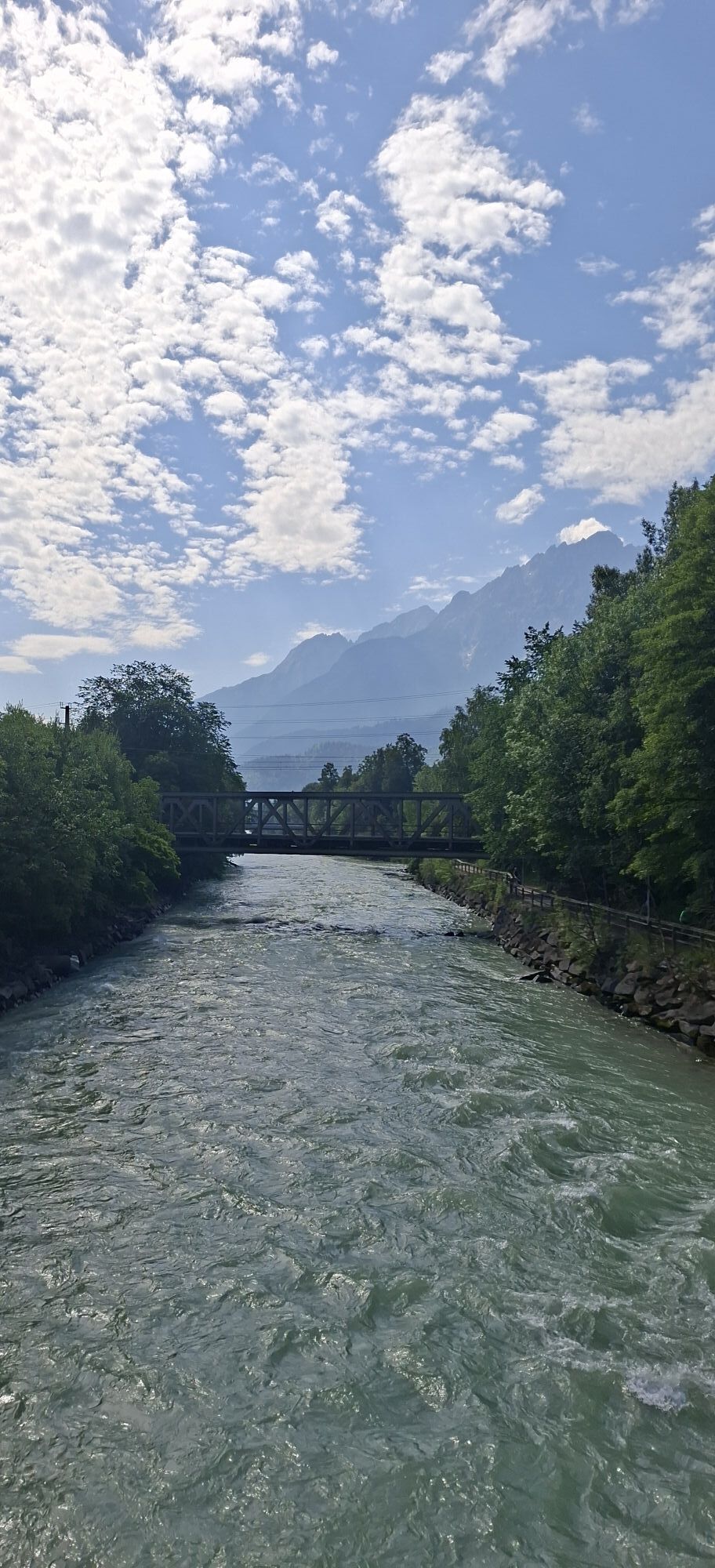
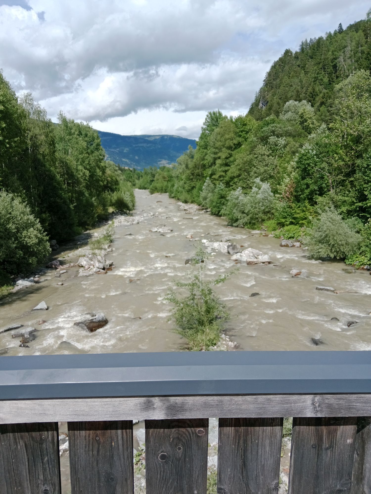
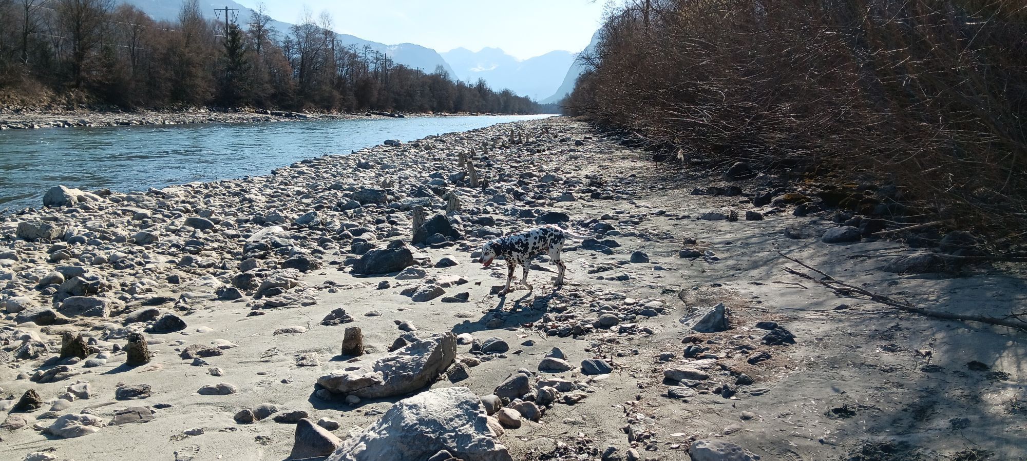
You leave the westernmost town of Carinthia and enter East Tyrol. Passing the idyllic villages of Unter- and Obertilliach and reaching Kartitsch Pass, you arrive at the highest town of the tour at 1,525 m. Next follows an 8 km long descent into the Puster Valley, through which the Drava River flows, here still a small river that has only traveled a few kilometers. Up to Abfaltersbach, you can cycle on the Drava bike path, which is continuously paved up to Lienz, avoiding the relatively heavy traffic on the federal road.

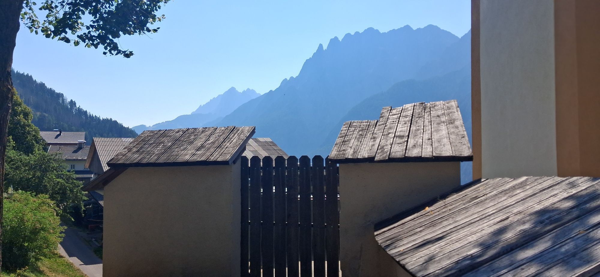
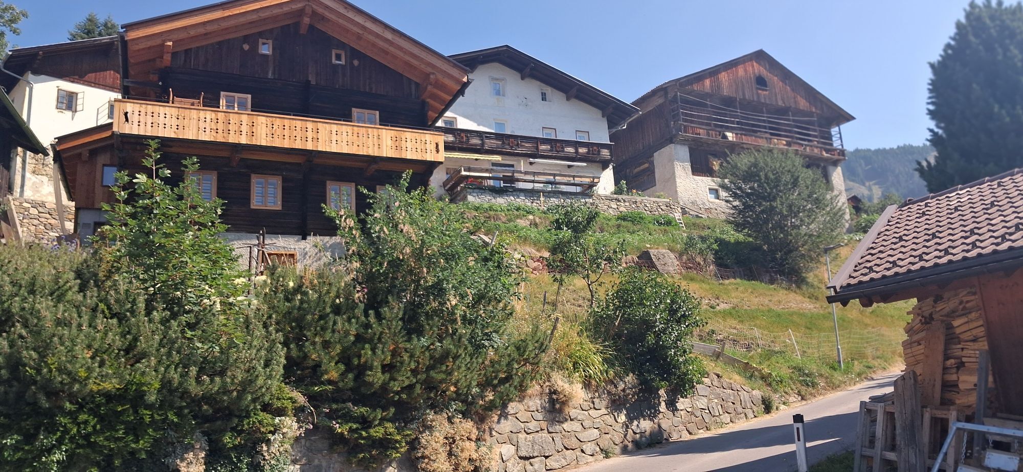
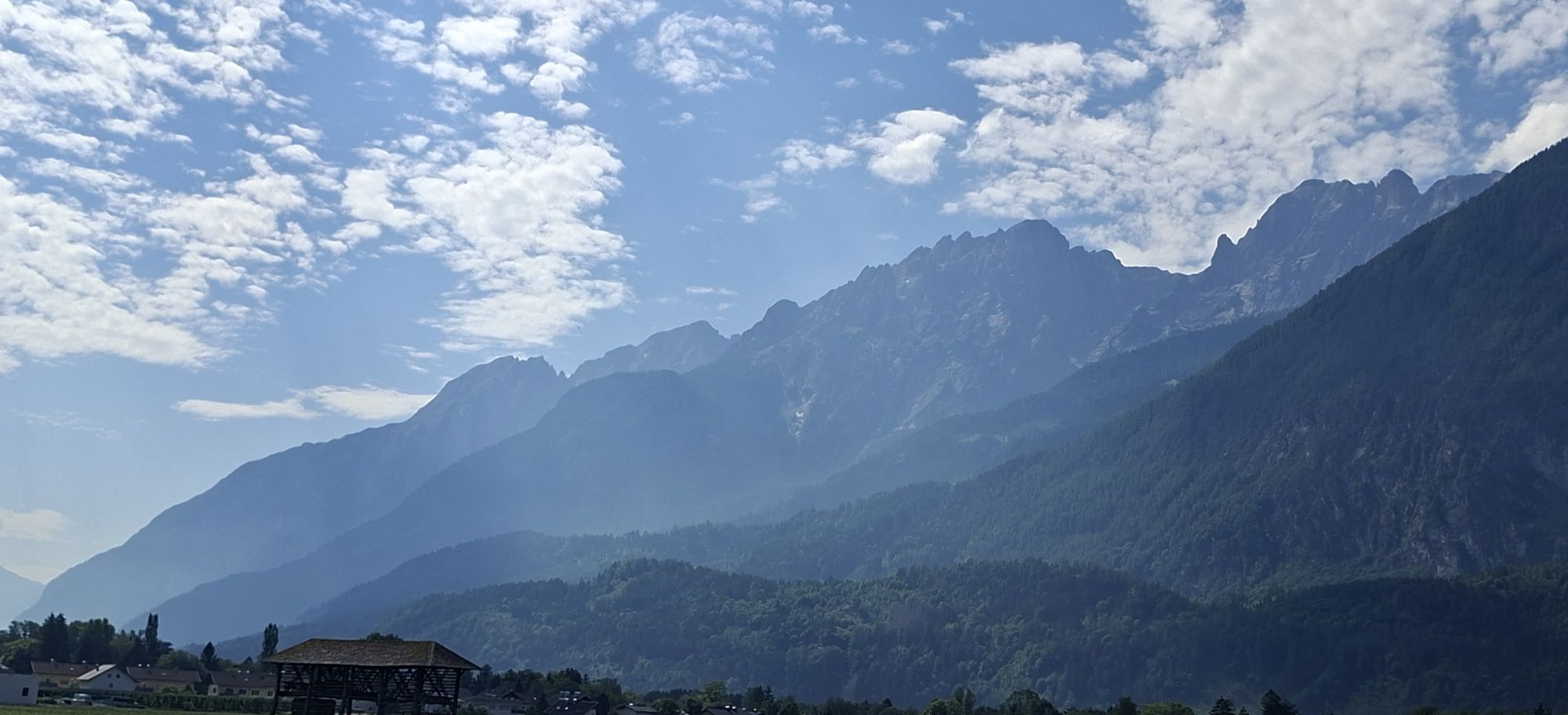
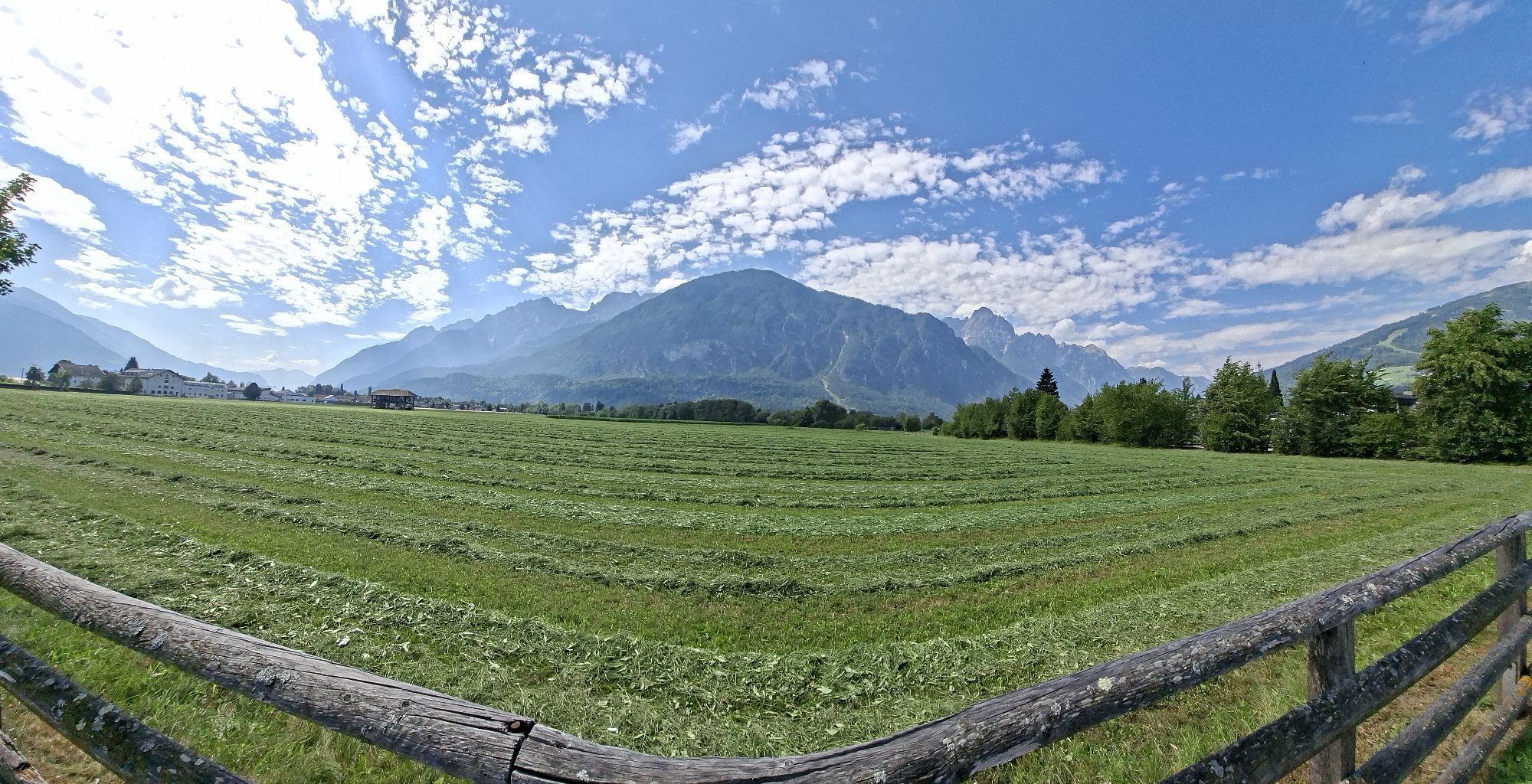
If you want to include the Pustertal High Road, turn left in Abfaltersbach. The High Road is characterized by three major climbs, followed by longer descents. The road is hardly frequented, and you cycle through scenic mountain villages with picturesque farms and enjoy wonderful views of the Lienz Dolomites.

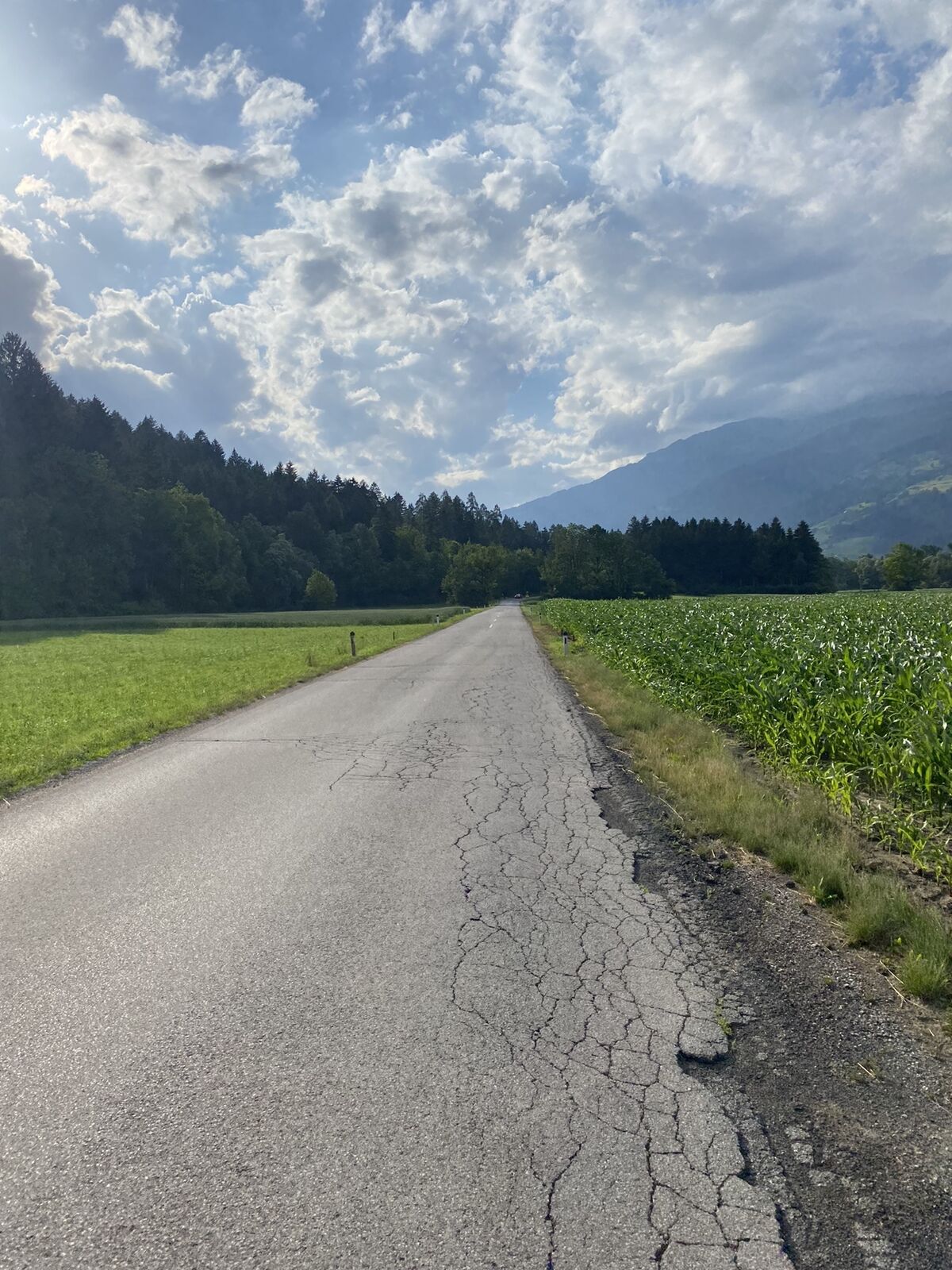
At Leisach you return to the valley; a short stop in the East Tyrolean capital Lienz is definitely worthwhile, and the last approximately 20 kilometers back to Oberdrauburg can be enjoyed leisurely, preferably off the B 100 via Tristach and Nikolsdorf.

Trasa
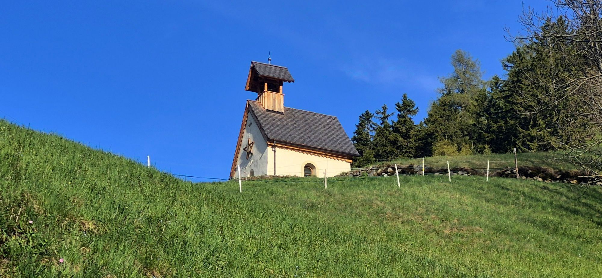
Herz Jesu-Kapelle
(844 m)
Místo konání bohoslužeb
17.2 km
Pfarrkirche Heiliger Nikolaus
(1044 m)
Místo konání bohoslužeb
32.2 km
Wallfahrtsbasilika Maria Luggau
(1173 m)
Místo konání bohoslužeb
39.7 km
Bacherkapelle
(1514 m)
Místo konání bohoslužeb
56.9 km
Pfarrkirche Anras
(1262 m)
Místo konání bohoslužeb
73.6 km
Herz-Jesu-Kapelle
(1163 m)
Místo konání bohoslužeb
91.1 km
Lienz
(674 m)
Město
102.1 km
Trasa
Mapa
Dolomites Tour
střední
Silniční kolo
125.87 km
Skaterplatz & Kinderspielplatz
(622 m)
Dětské hřiště
0.0 km
Oberdrauburg
(622 m)
Vesnice
0.0 km
Waidach
(626 m)
Sousedství
0.1 km
Silberfall Wasserfall
(714 m)
Vodopád
3.9 km
Gailberg
(979 m)
Vypořádání
6.6 km
Gailberghöhe
(969 m)
Restaurace
6.9 km
Laas
(831 m)
Vesnice
10.3 km
Kötschach
(705 m)
Město
12.9 km
Gailtaler Dom
(705 m)
Místo konání bohoslužeb
12.9 km
Friedenskirche
(699 m)
Místo konání bohoslužeb
14.0 km
Gentschach
(839 m)
Vypořádání
17.0 km
Herz Jesu-Kapelle
(844 m)
Místo konání bohoslužeb
17.2 km
Passau
(788 m)
Vypořádání
19.0 km
Strajach
(956 m)
Vesnice
21.0 km
Gasthof zum Löwen
(941 m)
Restaurace
21.6 km
Sankt Jakob im Lesachtal
(935 m)
Vesnice
21.6 km
Hl. Jakob
(947 m)
Místo konání bohoslužeb
21.7 km
Filialkirche Podlanig (Hl. Ulrich und Hl. Martin)
(973 m)
Místo konání bohoslužeb
23.6 km
Podlanig
(965 m)
Vesnice
23.6 km
Birnbaum
(974 m)
Vypořádání
26.1 km
Mattling
(1023 m)
Vypořádání
27.9 km
Durnthal
(1004 m)
Koridor/terén
29.0 km
Rüben
(1050 m)
Vypořádání
29.4 km
Oberring
(1044 m)
Vypořádání
29.8 km
Stabenthein
(964 m)
Vypořádání
30.4 km
Liesing
(1036 m)
Vypořádání
32.1 km
Gasthaus Wilhelmer
(1048 m)
Restaurace
32.2 km
Pfarrkirche Heiliger Nikolaus
(1044 m)
Místo konání bohoslužeb
32.2 km
Klebas
(1037 m)
Vypořádání
33.1 km
Wegkapelle
(1118 m)
Místo konání bohoslužeb
34.9 km
Gasthof zur Post
(1116 m)
Restaurace
35.2 km
Pfarrkirche Heiliger Laurentius
(1127 m)
Místo konání bohoslužeb
35.2 km
Sankt Lorenzen im Lesachtal
(1116 m)
Vesnice
35.5 km
Kapelle
(1104 m)
Místo konání bohoslužeb
36.3 km
Wiesen
(1107 m)
Vypořádání
36.4 km
Promeggen
(1127 m)
Vypořádání
37.9 km
Stoffanell
(1138 m)
Vypořádání
38.9 km
Gasthof Luggau
(1143 m)
Restaurace
39.2 km
Gasthof Paternwirt
(1160 m)
Restaurace
39.5 km
Wallfahrtsbasilika Maria Luggau
(1173 m)
Místo konání bohoslužeb
39.7 km
Maria Luggau
(1173 m)
Vesnice
39.8 km
Gasthof Bäckwirt
(1168 m)
Restaurace
39.8 km
Wacht
(1172 m)
Vypořádání
41.3 km
Heiliger Ingenuin und Albuin
(1234 m)
Místo konání bohoslužeb
44.3 km
Untertilliach
(1235 m)
Vesnice
44.4 km
Aue
(1249 m)
Vypořádání
45.4 km
Bergen
(1301 m)
Vypořádání
47.3 km
Bachhäusl
(1325 m)
Vypořádání
47.4 km
Rals
(1441 m)
Vypořádání
47.9 km
Obertilliach
(1458 m)
Vesnice
49.7 km
Rodarm
(1440 m)
Vesnice
50.3 km
Kapelle Heiliger Peter
(1430 m)
Místo konání bohoslužeb
53.6 km
Leiten
(1519 m)
Vesnice
53.7 km
Tannwiese
(1521 m)
Koridor/terén
55.7 km
Rauchenbach
(1522 m)
Vypořádání
56.7 km
Bacherkapelle
(1514 m)
Místo konání bohoslužeb
56.9 km
Sulzenbach
(1475 m)
Vypořádání
57.4 km
Erschbaum
(1408 m)
Vypořádání
58.3 km
Kartitsch
(1343 m)
Vesnice
59.3 km
Wiese
(1308 m)
Vypořádání
60.2 km
Wieserkapelle
(1306 m)
Místo konání bohoslužeb
60.4 km
Sankt Oswald
(1366 m)
Vesnice
60.9 km
Gasthof Forellenhof
(1070 m)
Restaurace
64.4 km
Tassenbach
(1079 m)
Vesnice
64.7 km
Strassen
(1097 m)
Vesnice
66.1 km
Lourdeskapelle in Geselhaus
(1047 m)
Místo konání bohoslužeb
68.5 km
Geselhaus
(1053 m)
Koridor/terén
68.6 km
Totenrastkapelle
(1031 m)
Místo konání bohoslužeb
69.4 km
Abfaltersbach
(982 m)
Vesnice
69.7 km
Gebreite
(1046 m)
Vypořádání
70.5 km
Asch
(1152 m)
Vypořádání
71.3 km
Maria Himmelfahrt
(1175 m)
Místo konání bohoslužeb
71.5 km
Bildstock Bartler
(1212 m)
Místo konání bohoslužeb
72.1 km
Goll
(1241 m)
Vypořádání
72.7 km
Anras
(1261 m)
Vesnice
73.5 km
Sonnenboden
(1229 m)
Vypořádání
73.5 km
Pfarrkirche Anras
(1262 m)
Místo konání bohoslužeb
73.6 km
Marwiesen
(1273 m)
Vypořádání
74.7 km
Wiesen
(1247 m)
Vypořádání
74.9 km
Bildstock Weilerstöckl
(1261 m)
Místo konání bohoslužeb
75.2 km
Kanzkapelle
(1381 m)
Místo konání bohoslužeb
79.8 km
Vergein
(1378 m)
Vypořádání
79.8 km
Burg
(1339 m)
Vypořádání
80.9 km
Linderkirchl
(1427 m)
Místo konání bohoslužeb
82.0 km
Kosten
(1410 m)
Vypořádání
82.6 km
Kosten
(1436 m)
Místo konání bohoslužeb
82.8 km
Bichl
(1463 m)
Vypořádání
84.5 km
Oberassling
(1201 m)
Sousedství
86.4 km
Unterassling
(1150 m)
Sousedství
86.7 km
Restaurant Walter's Gästehaus
(1158 m)
Restaurace
86.8 km
Assling
(1128 m)
Vesnice
87.2 km
Pfarrkirche Assling zur Allerheiligsten Dreifaltigkeit
(1125 m)
Místo konání bohoslužeb
87.2 km
Oberthal
(976 m)
Vypořádání
88.8 km
Klausen
(1116 m)
Vypořádání
90.0 km
Herz-Jesu-Kapelle
(1163 m)
Místo konání bohoslužeb
91.1 km
Schrottendorf
(1152 m)
Vypořádání
91.2 km
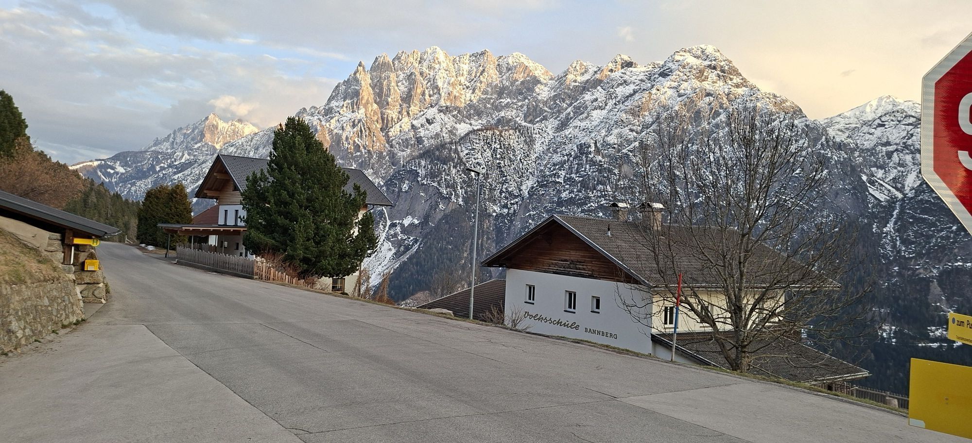
Bannberg
(1273 m)
Vypořádání
93.0 km
Burgfrieden
(824 m)
Vypořádání
97.5 km
Leisach-Gries
(705 m)
Vesnice
99.2 km
Leisacherwirt
(700 m)
Restaurace
99.6 km
Leisach
(708 m)
Vesnice
99.8 km
Brauerei Gasthof Falkenstein
(687 m)
Restaurace
100.2 km
Lienz
(674 m)
Město
102.1 km
Tristach
(671 m)
Vesnice
105.7 km
Lavant
(678 m)
Vesnice
110.8 km
Römerstube
(663 m)
Restaurace
111.1 km
Görtschach
(754 m)
Vesnice
113.4 km
Lengberg
(664 m)
Vesnice
116.7 km
Nikolsdorf
(684 m)
Vesnice
119.1 km
Waidach
(626 m)
Sousedství
125.7 km
Oberdrauburg
(622 m)
Vesnice
125.8 km
Informace o prohlídce

This route corresponds to the Lienz Dolomites Tour, which is held annually in June and will take place for the 24th time in 2011. The Lesachtal, the Pustertal High Road, and the many idyllic mountain villages are the scenic highlights along this route, alongside the impressive Dolomites scenery.

Technologie
4 / 6
Stav
4 / 6
Krajina
5 / 6
Zkušenosti
4 / 6
Nejlepší roční období
Led
Úno
Bře
Dub
Kvě
Čen
Čec
Srp
Zář
Říj
Lis
Pro
Autor
Poskytuje Kärnten
Prohlídku Dolomites Tour zajišťuje outdooractive.com.
Logo
Sdílet prohlídku
Mapa
Dolomites Tour
střední
Silniční kolo
125.87 km
Chyba
Došlo k chybě. Zkuste to prosím znovu.
Informace o trase
Trasa

Oberdrauburg - Gailberg - Kötschach-Mauthen - Lesachtal - Kartitsch - Strassen - Abfaltersbach - Anras - Kosten - Bannberg - Leisach - Lienz - Tristach - Lavant - Nikolsdorf - Oberdrauburg

Další informace a tipy
Úroveň obtížnosti

4

Další informace
www.dolomitensport-lienz.com

www.lesachtal.com

Zatím žádné recenze
Napište recenzi

Recenze pomáhají ostatním uživatelům při výběru dalšího dobrodružství. Hodnoťte prosím pouze prohlídku, nikoli počasí nebo svačinu.

Výběrem jedné z hvězdiček ohodnotíte prohlídku
Špatné turné
Slabé turné
Průměrné turné
Dobrá prohlídka
Vynikající prohlídka
Pěší turistika a stopování

Pěší turistika a stopování

Pěší turistika a stopování
Více než 550.000 návrhů výletů, podrobné mapy a intuitivní plánovač tras dělají z aplikace nezbytnou výbavu pro všechny milovníky přírody.
bergfex