Navigace na stránkách
Pořiďte si tuto prohlídku do mobilního telefonu
Mapa
Nockalmrunde – Treffling variant, Obermillstatt | nock/bike

heavy
Silniční kolo
104.99 km
Naskenujte QR kód a spusťte navigaci v aplikaci bergfex.
QR Code
Pěší turistika a stopování

Nockalmrunde – Treffling variant, Obermillstatt | nock/bike
Vzdálenost
105.0 km
Doba trvání
06:30 h
Ascent
2520 hm
Hladina moře
599 - 2042 m
Stažení skladby
Mapa
Nockalmrunde – Treffling variant, Obermillstatt | nock/bike
heavy
Silniční kolo
104.99 km

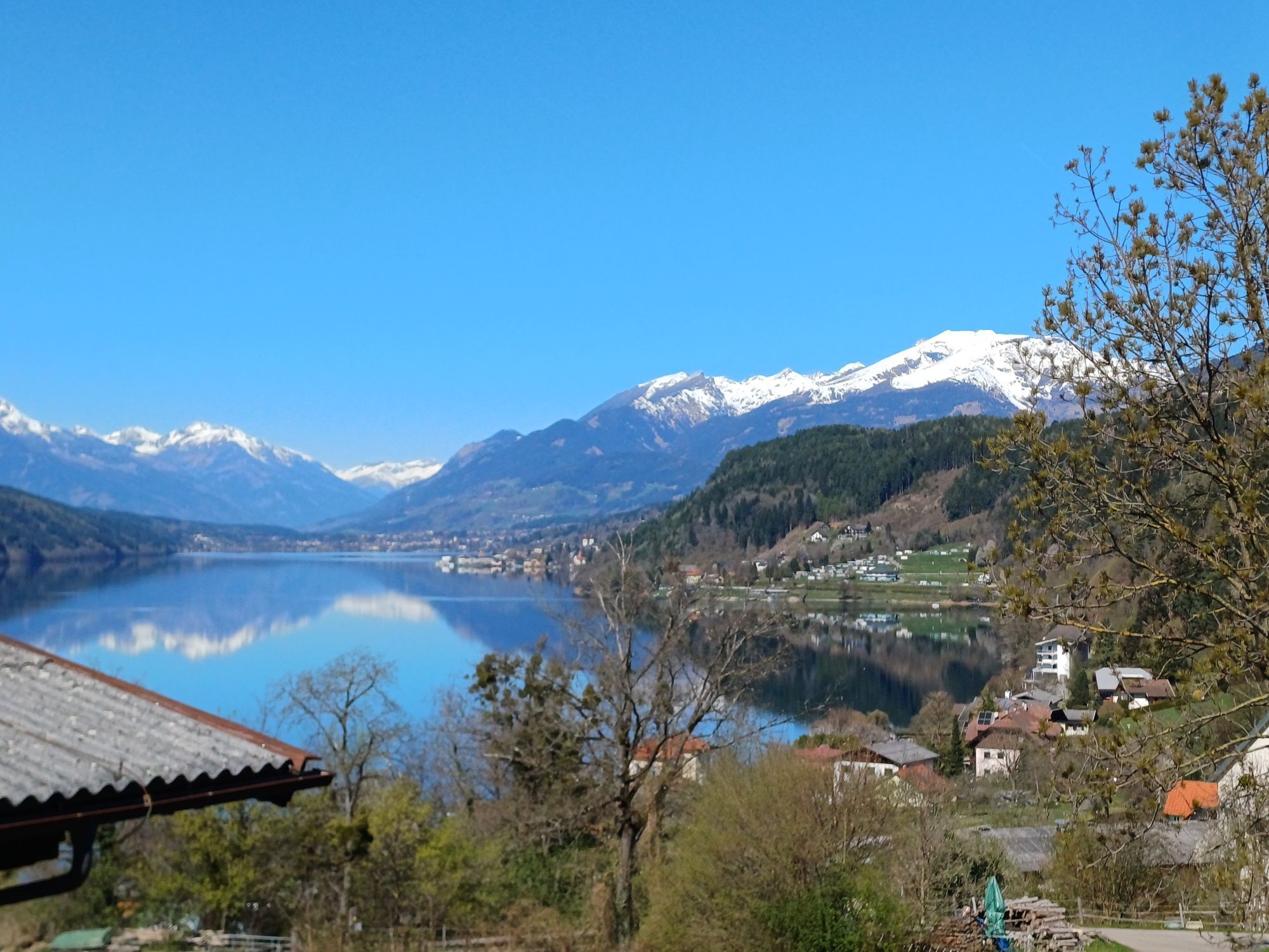
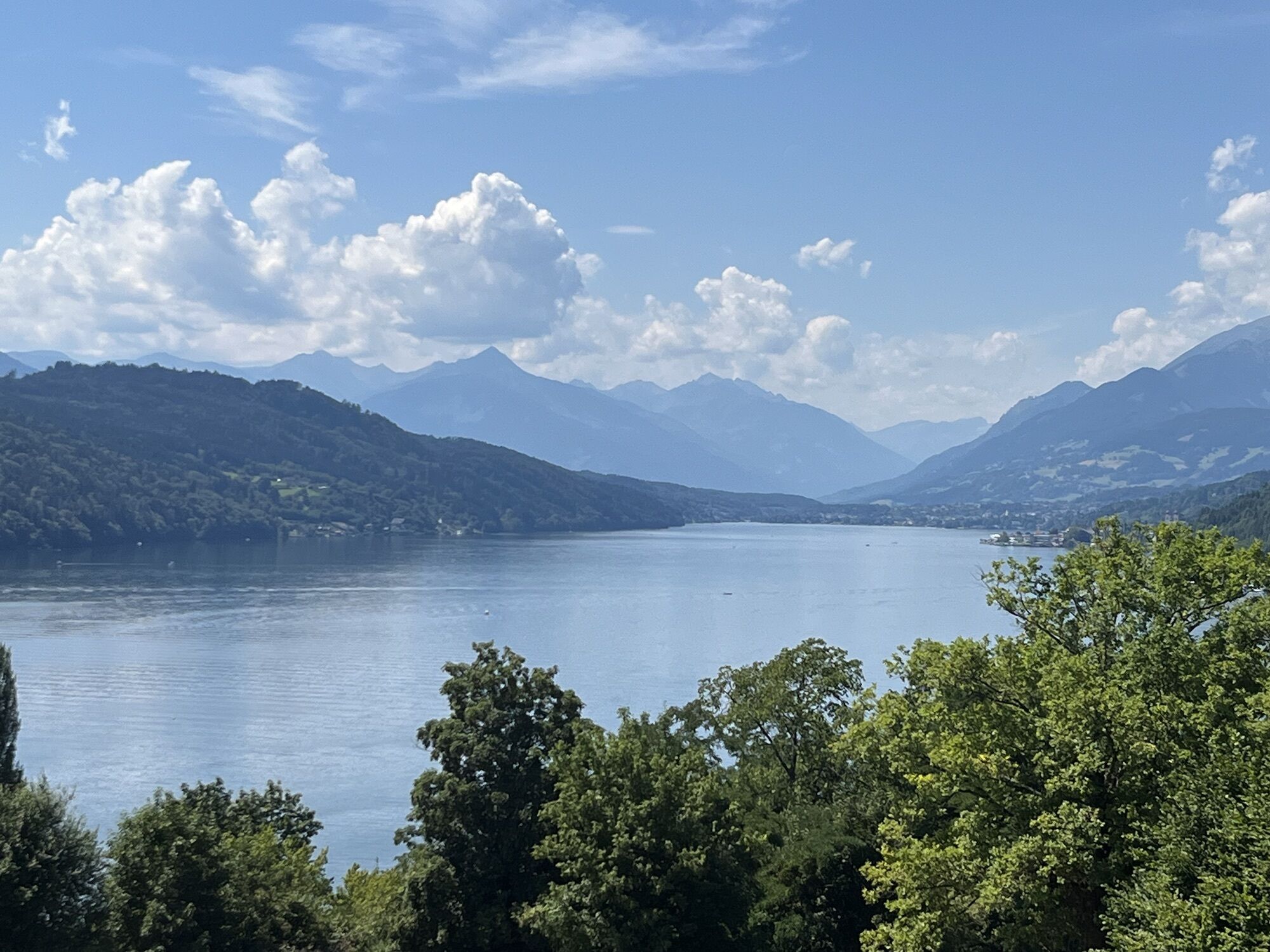
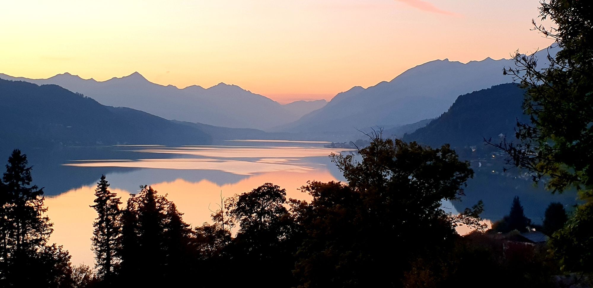
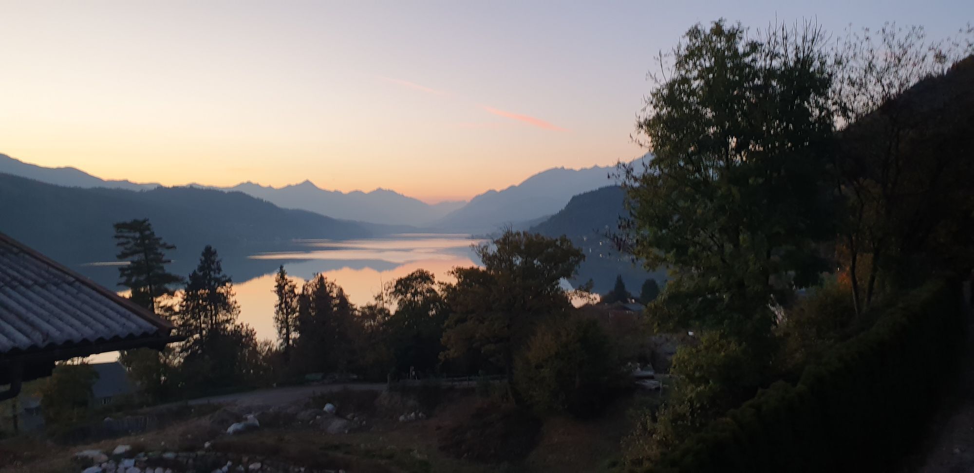
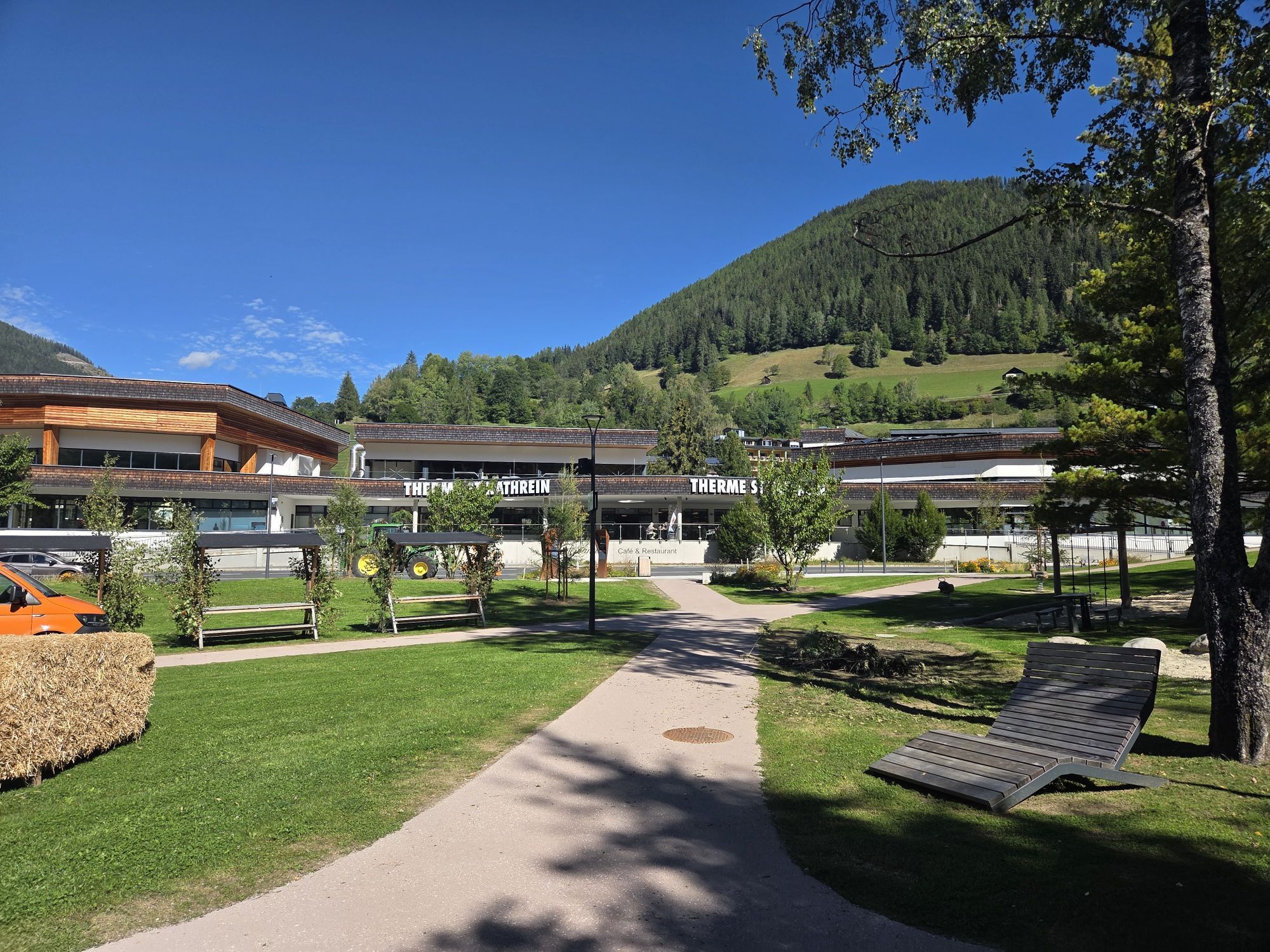
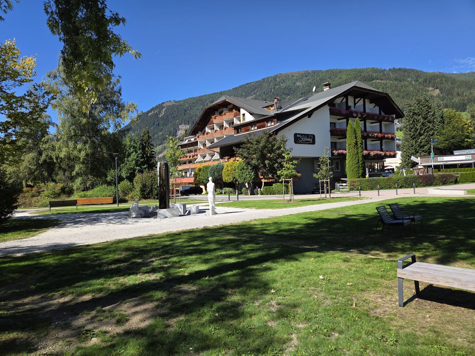
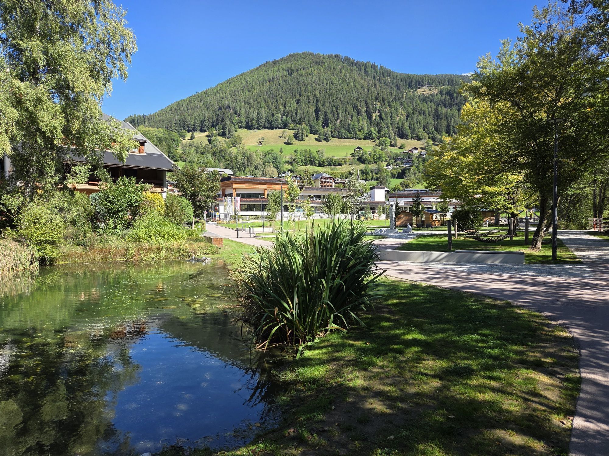
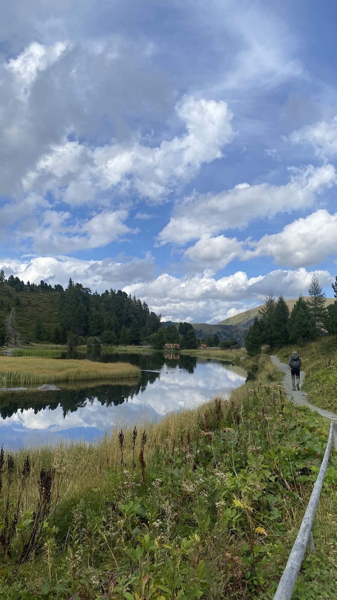
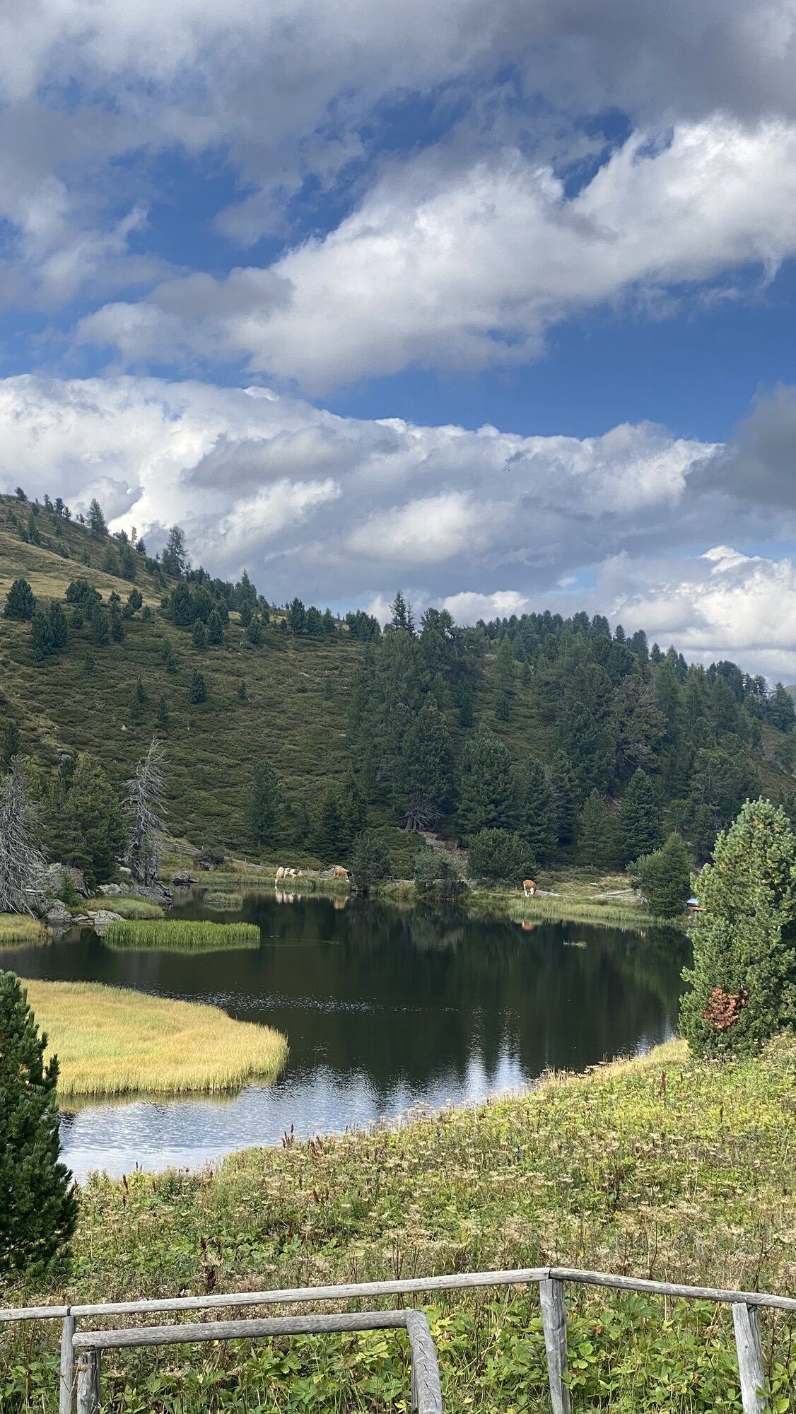
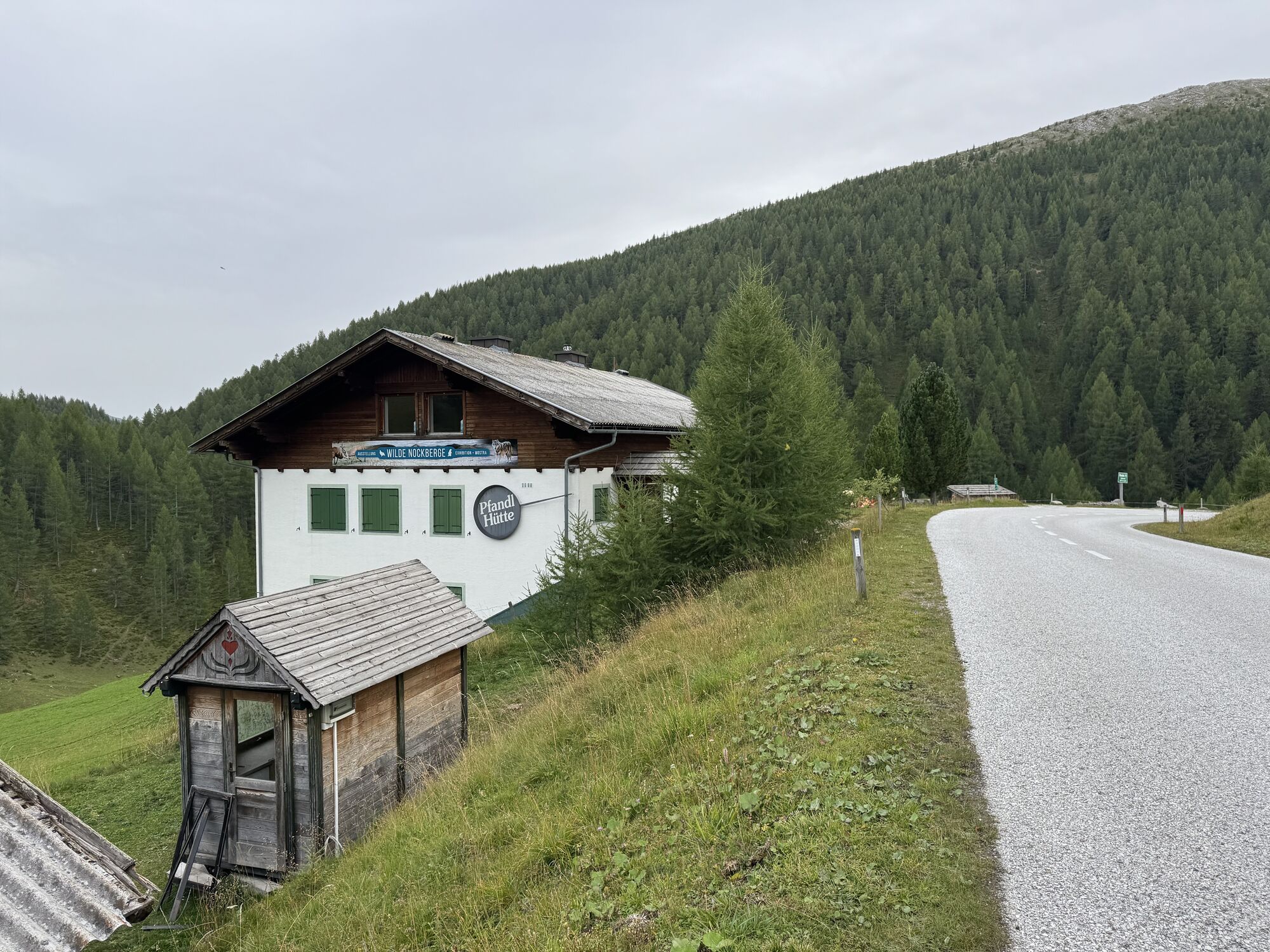
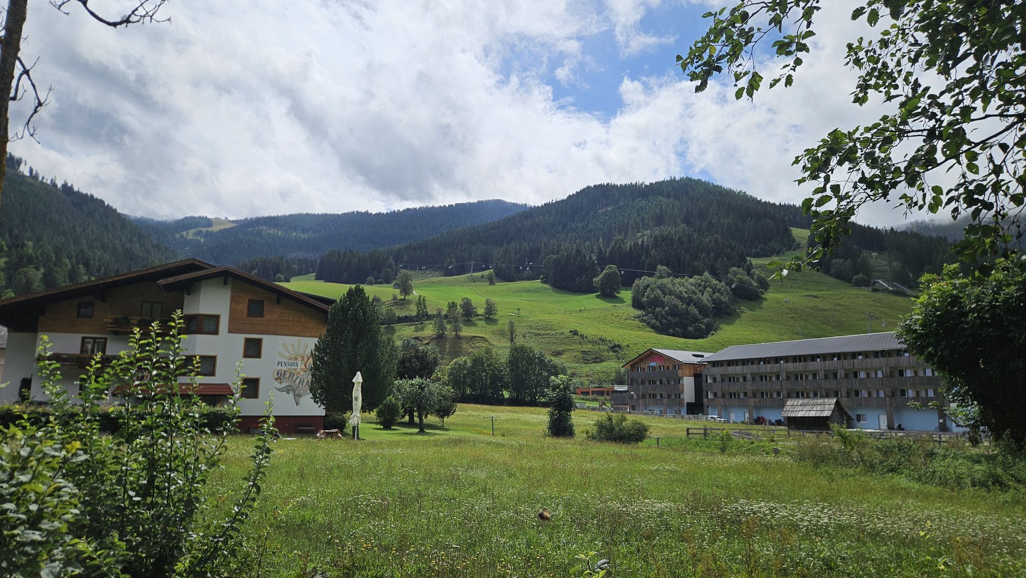
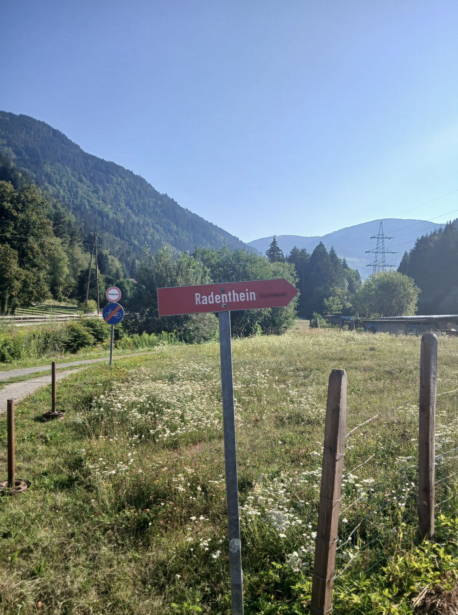
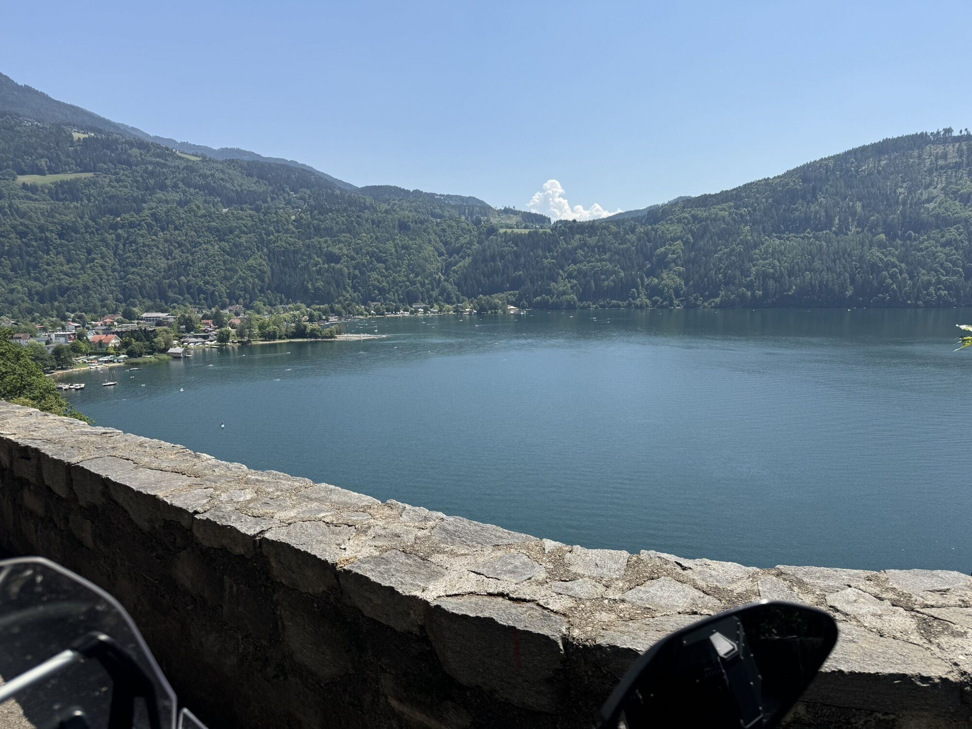
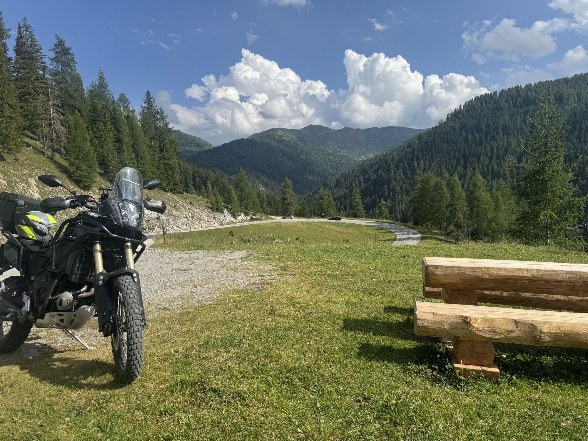
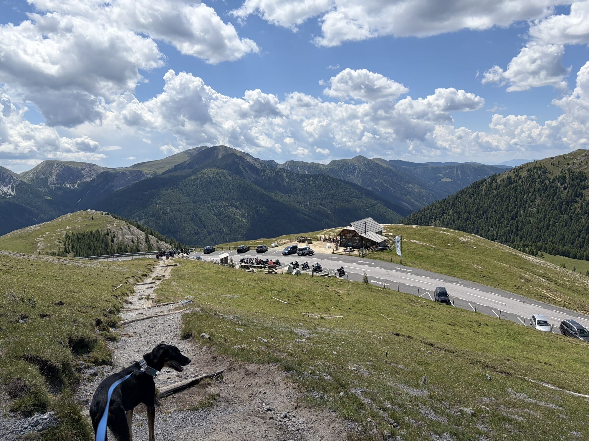
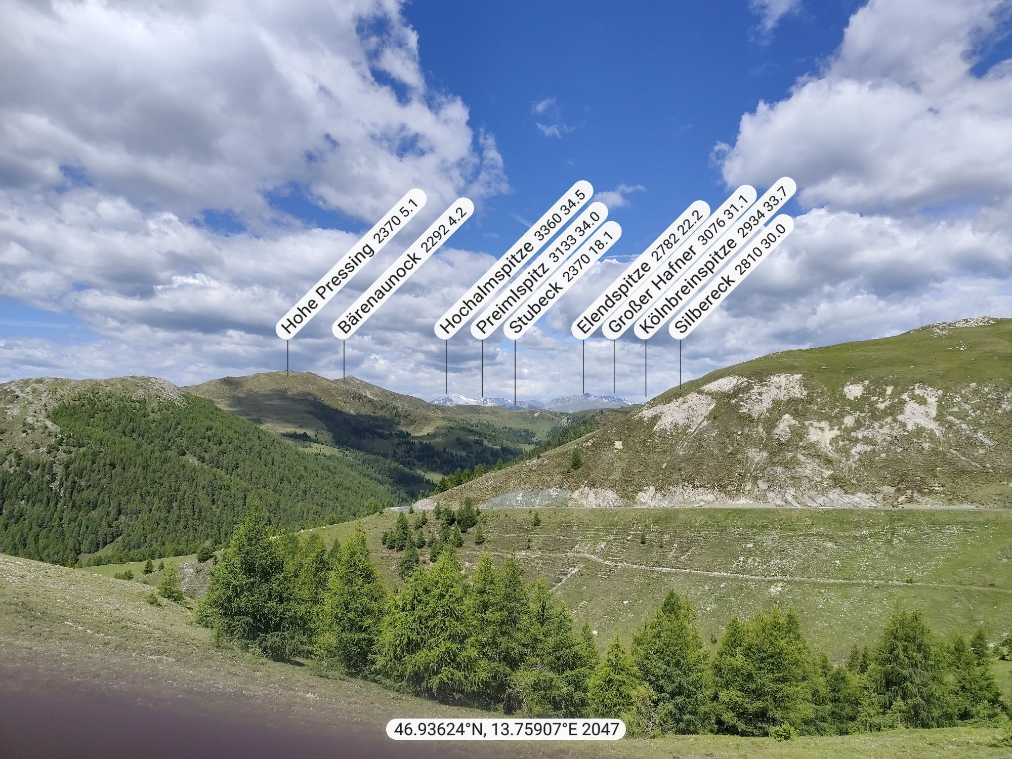
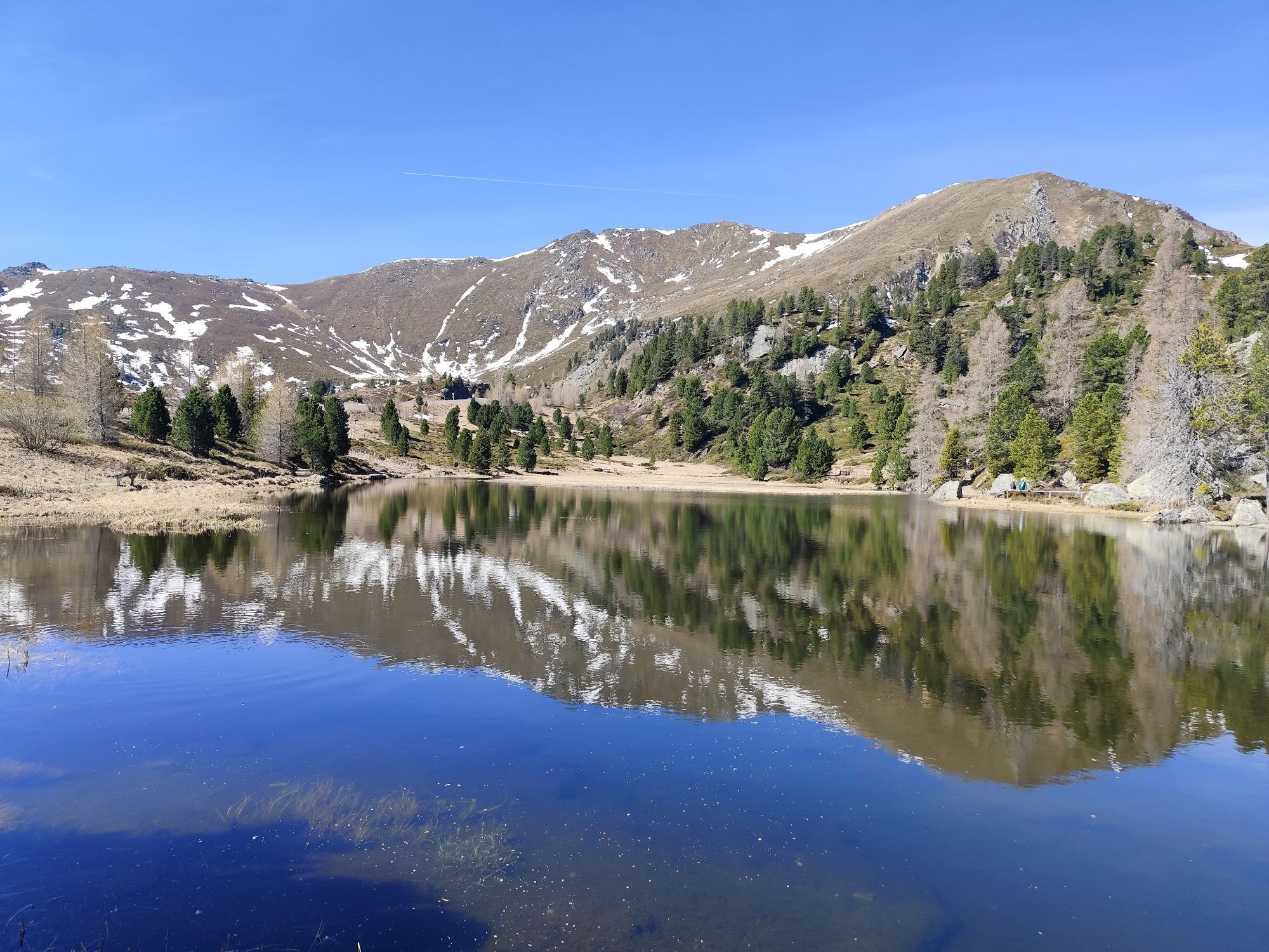
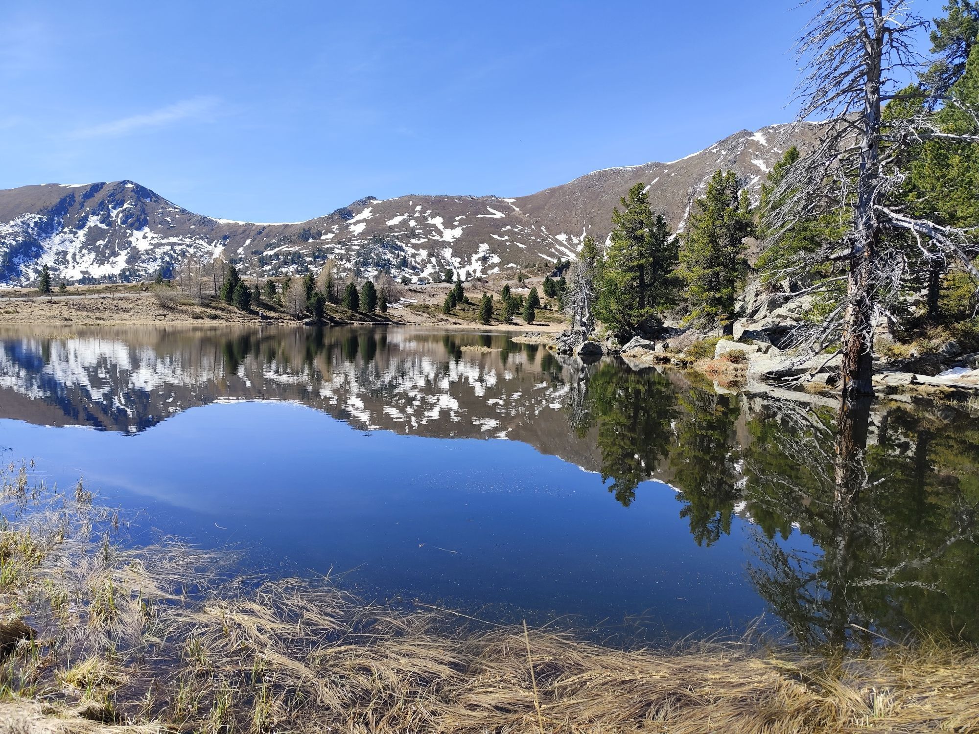
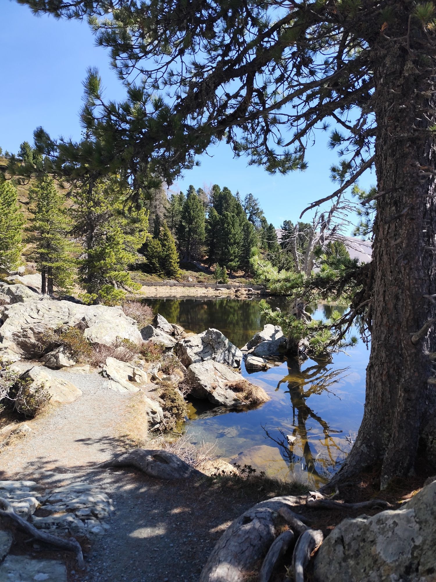
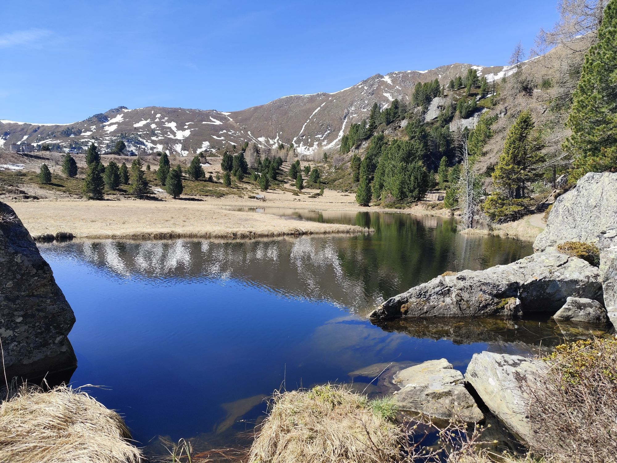
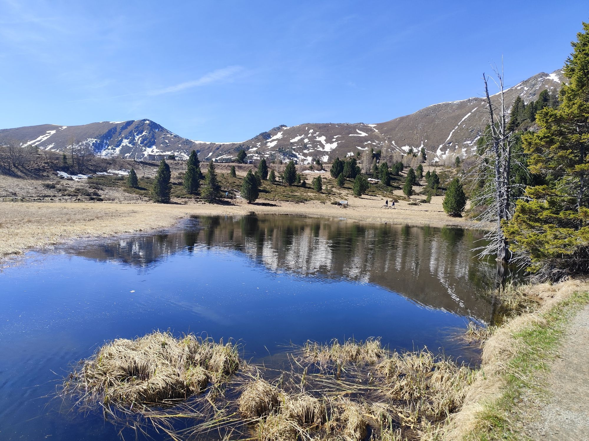
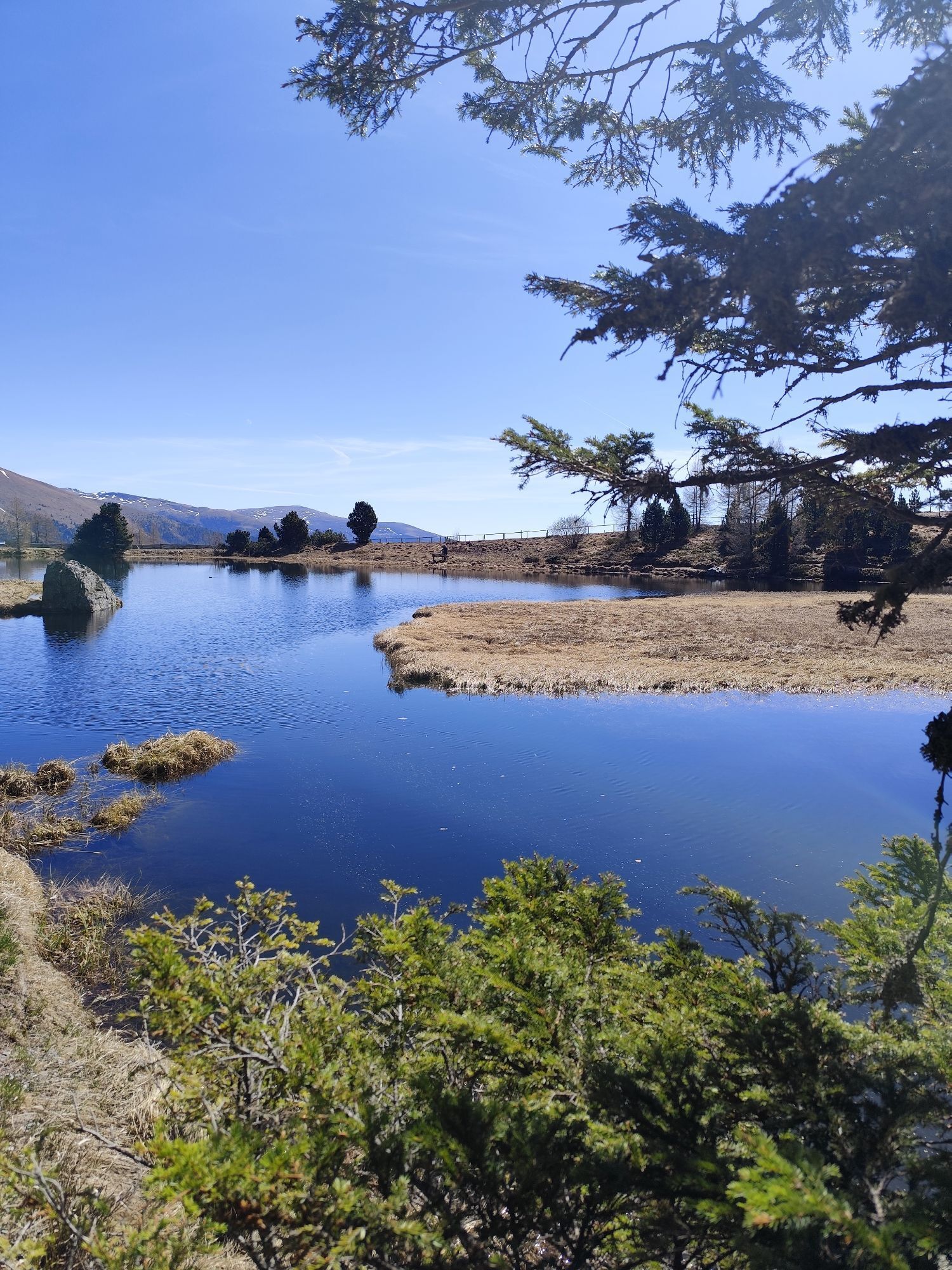
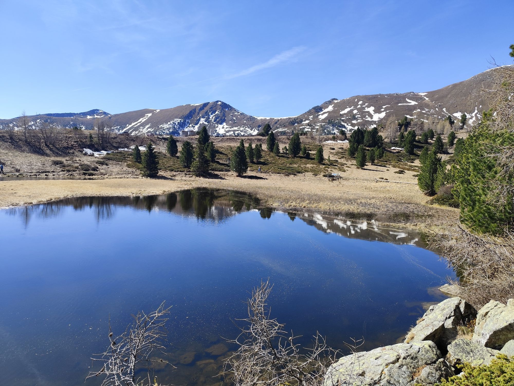
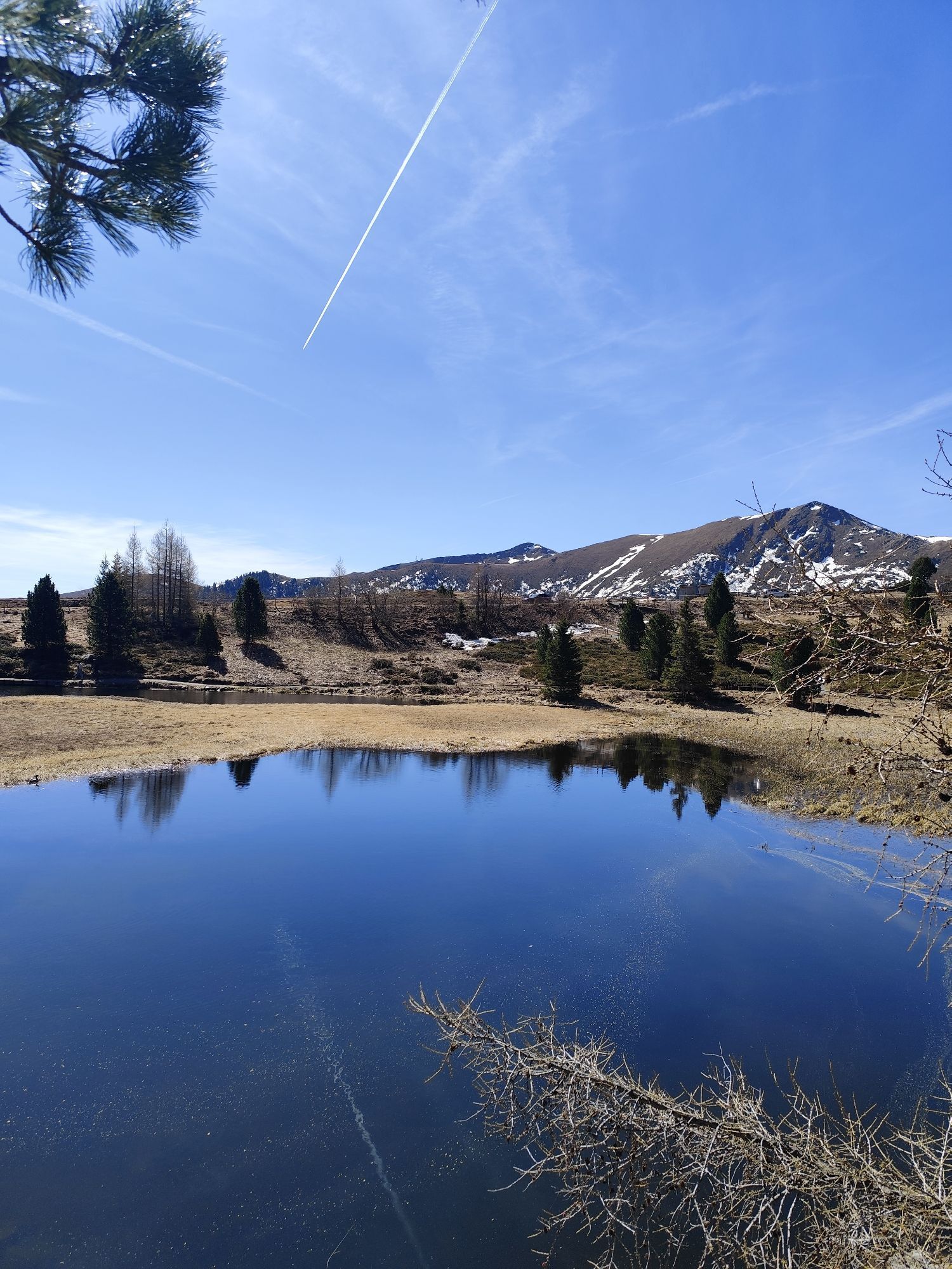
Fotografie našich uživatelů

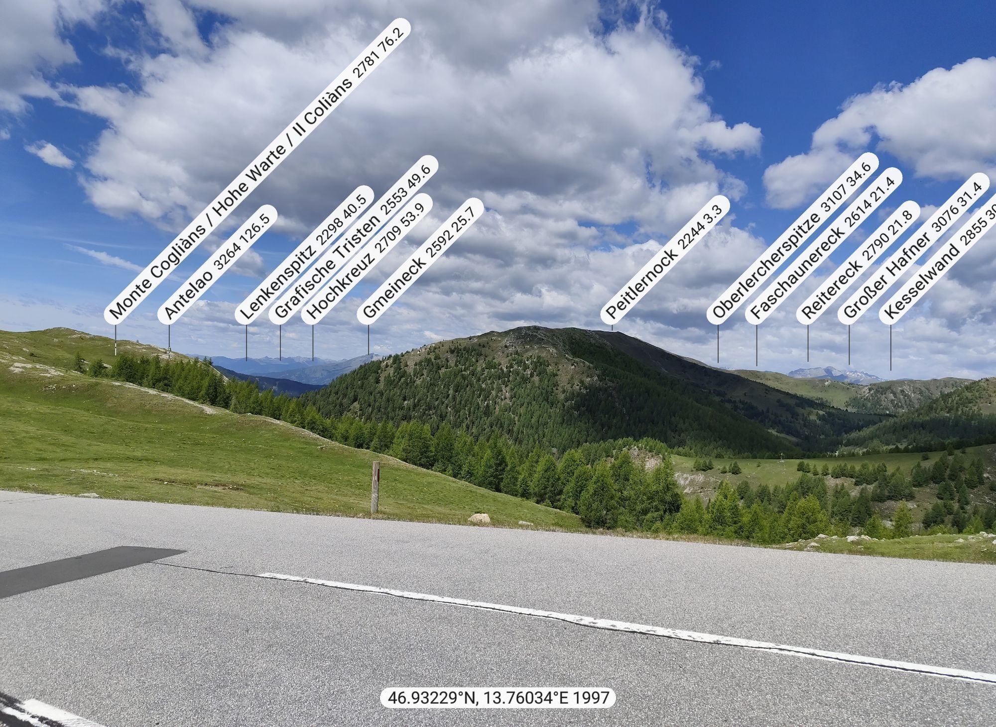
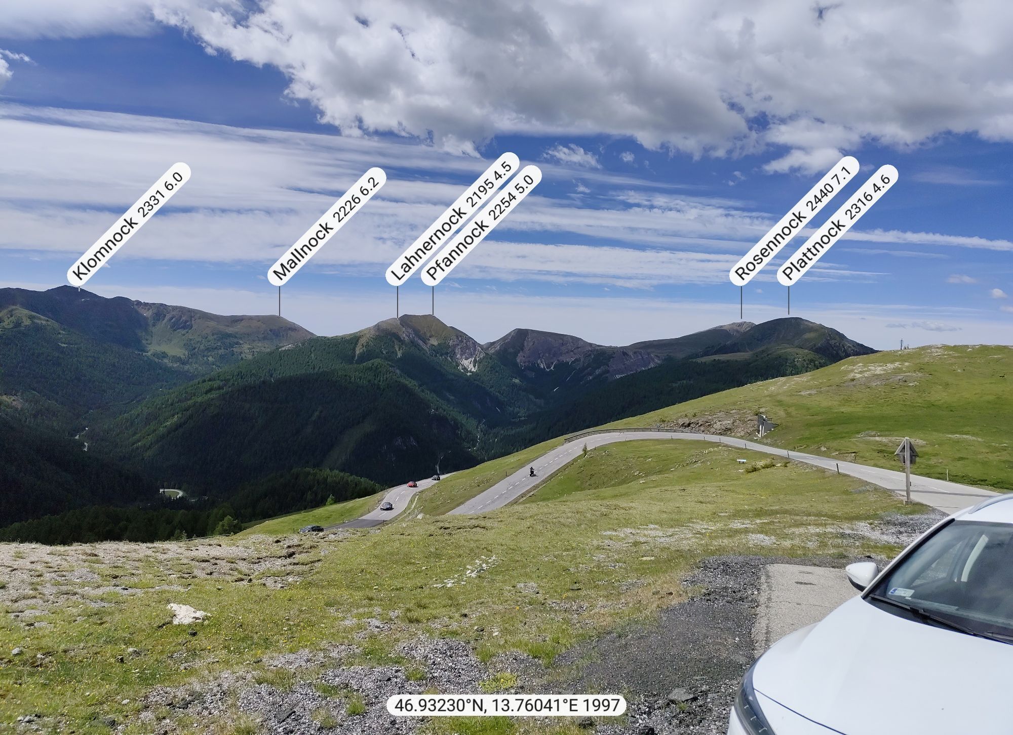
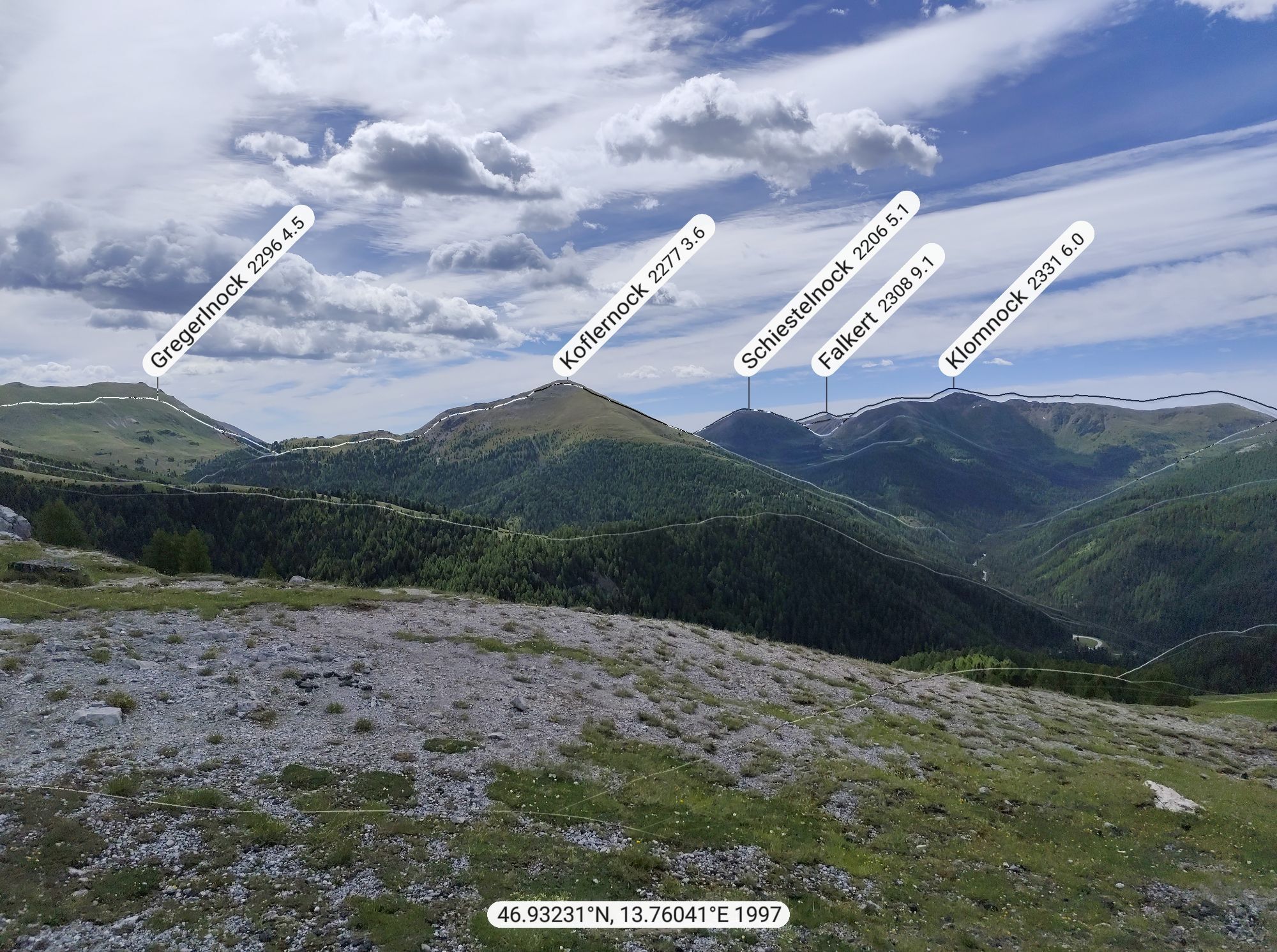
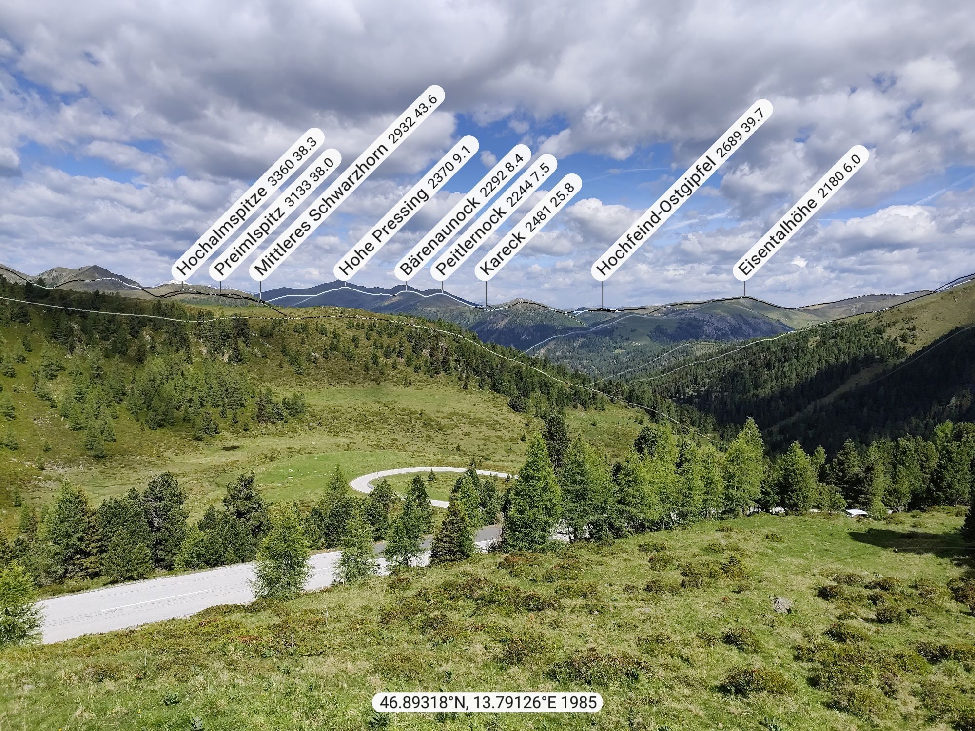
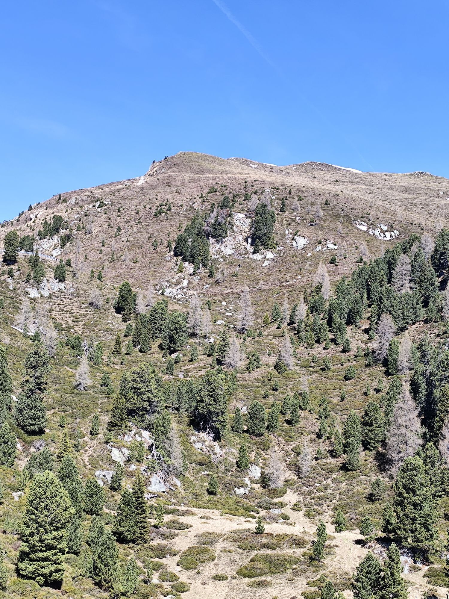
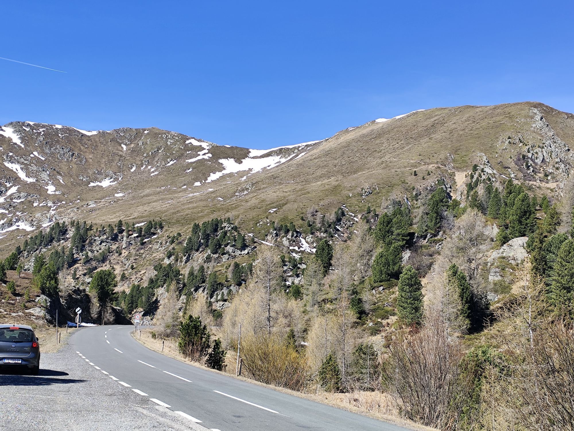
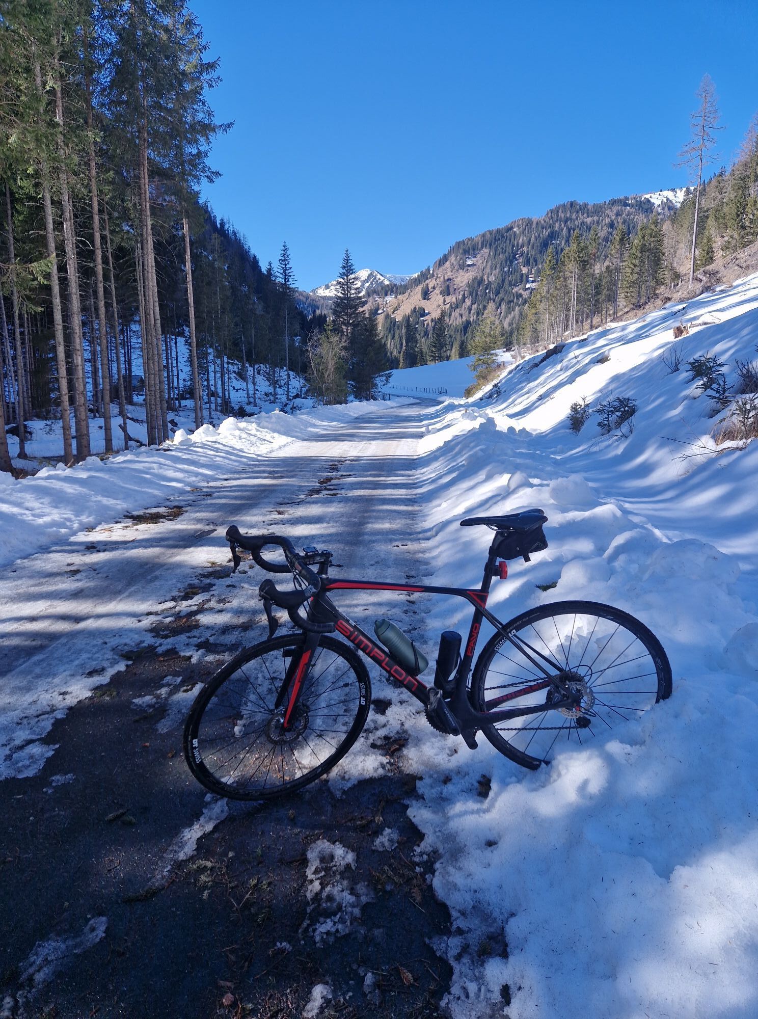
The demanding course starts in Bad Kleinkirchheim and leads past the golf course to Ebene Reichenau. From here, you cycle along the Nockalmstraße to the Glockenhütte. Afterwards, you reach the highest...

Popis

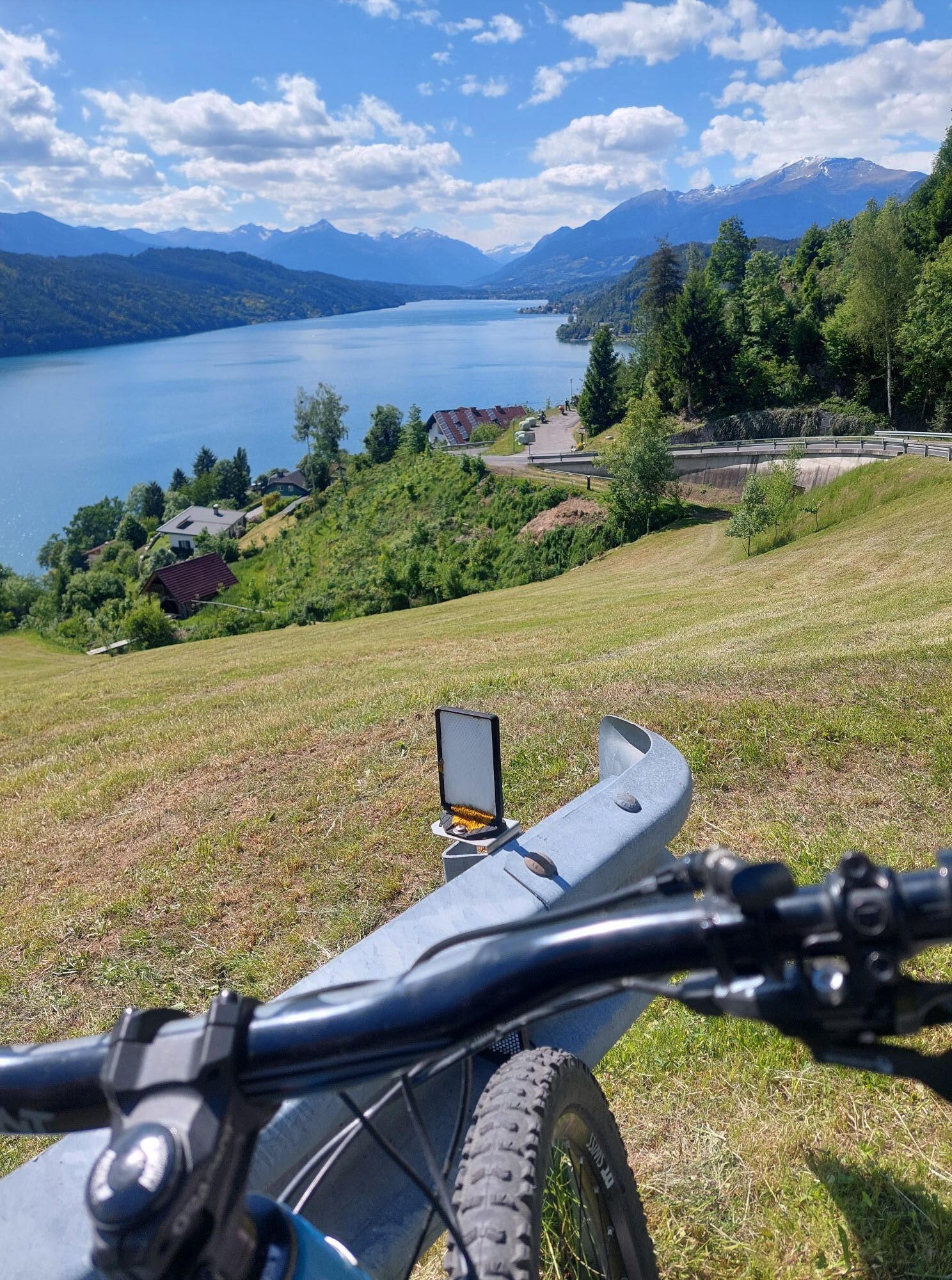
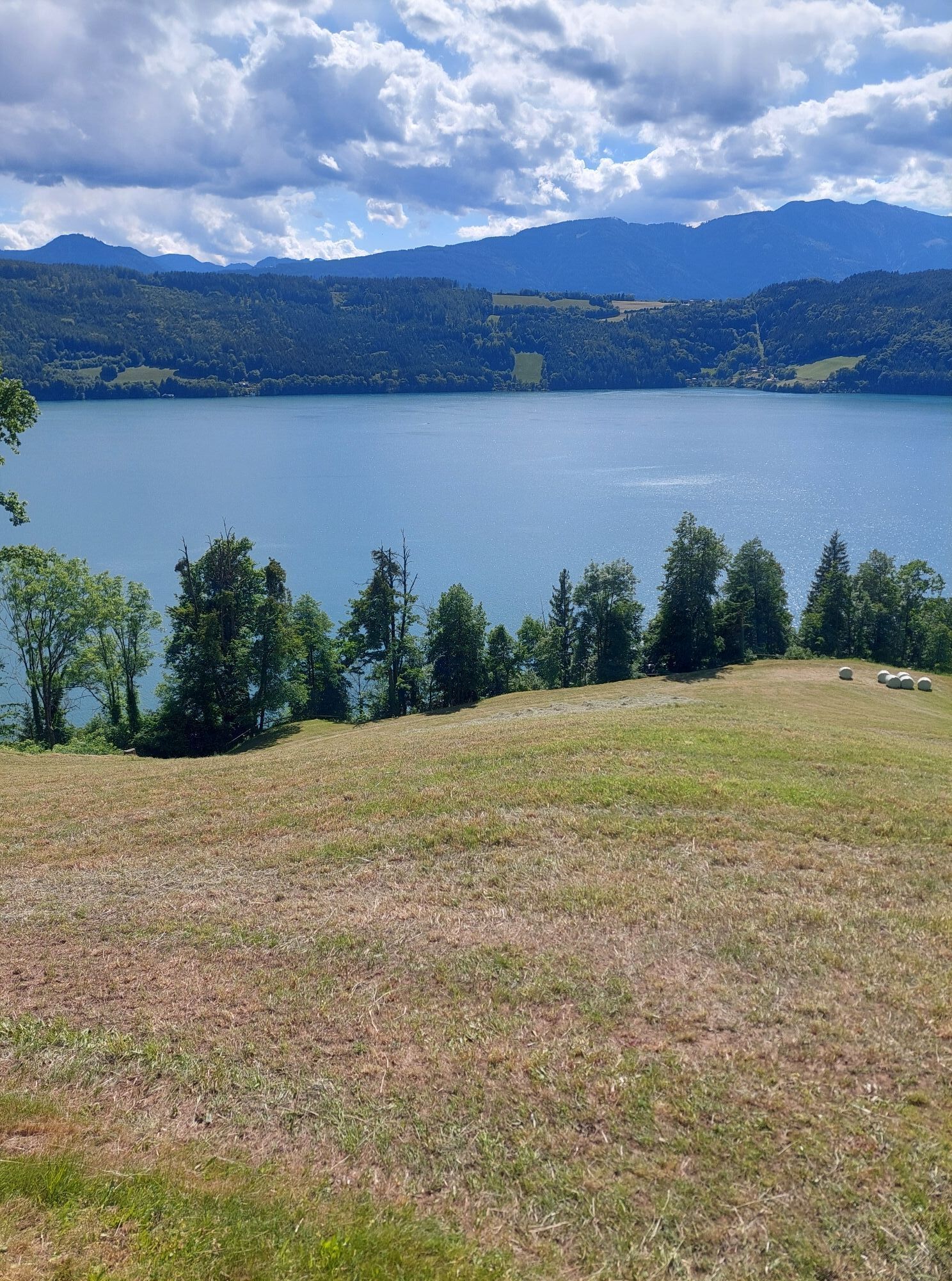
The demanding course starts in Bad Kleinkirchheim and leads past the golf course to Ebene Reichenau. From here, you cycle along the Nockalmstraße to the Glockenhütte. Afterwards, you reach the highest point of this tour at the Eisentalhöhe (over 2000 m). Then it goes back through the Liesertal valley, past Lake Millstatt and finally back to Bad Kleinkirchheim.

Trasa
St. Martin
(1062 m)
Místo konání bohoslužeb
12.2 km
Lutterneck
(1438 m)
Koridor/terén
19.9 km
Kapelle
(1685 m)
Místo konání bohoslužeb
34.7 km
Innerkrems
(1481 m)
Vesnice
46.7 km
Kreuzbichlkapelle
(768 m)
Místo konání bohoslužeb
65.3 km
Filialkirche hl. Petrus
(755 m)
Místo konání bohoslužeb
79.9 km
Pfarrkirche Döbriach
(620 m)
Místo konání bohoslužeb
93.0 km
Trasa
Mapa
Nockalmrunde – Treffling variant, Obermillstatt | nock/bike
heavy
Silniční kolo
104.99 km
Bach
(1034 m)
Vesnice
0.1 km
Bad Kleinkirchheim
(1072 m)
Vesnice
1.6 km
Zirkitzen
(1101 m)
Vesnice
2.7 km
Rottenstein
(1112 m)
Vypořádání
3.8 km
Plaß
(1109 m)
Vypořádání
5.8 km
Wiedweg
(1026 m)
Vypořádání
6.3 km
Kirche Wiedweg
(1024 m)
Místo konání bohoslužeb
6.3 km
La Pizzeria di Salvatore
(1019 m)
Restaurace
6.7 km
Patergassen
(1017 m)
Vesnice
6.9 km
Vorwald
(1032 m)
Vypořádání
8.3 km
Hinterkoflach
(1063 m)
Vypořádání
10.8 km
Waidach
(1048 m)
Vypořádání
11.5 km
St. Martin
(1062 m)
Místo konání bohoslužeb
12.2 km
Ebene Reichenau
(1062 m)
Vesnice
12.2 km
Gasthaus Lax
(1063 m)
Restaurace
12.3 km
Kronaboden
(1090 m)
Vypořádání
12.5 km
Lutterneck
(1438 m)
Koridor/terén
19.9 km
Knabnkraut
(1455 m)
Koridor/terén
20.0 km
Sunnawend
(1469 m)
Koridor/terén
20.2 km
Kronawet
(1672 m)
Koridor/terén
21.4 km
Tomtegl
(1726 m)
Koridor/terén
22.6 km
Kråftroasn
(1845 m)
Koridor/terén
23.5 km
Reidn 45
(1885 m)
Koridor/terén
24.1 km
Almnagl
(1949 m)
Koridor/terén
24.7 km
Moastwurz
(1962 m)
Koridor/terén
25.1 km
Benediktwurz
(1985 m)
Koridor/terén
25.3 km
Glockenbluaman
(1994 m)
Koridor/terén
25.4 km
Glockenhütte
(2024 m)
Restaurace
25.7 km
Hadachkraut
(1991 m)
Koridor/terén
26.2 km
Guggahåntschn
(1983 m)
Koridor/terén
26.3 km
Buxbam
(1958 m)
Koridor/terén
26.7 km
Gamshadach
(1939 m)
Koridor/terén
26.9 km
Tomatül
(1926 m)
Koridor/terén
27.1 km
Bergwürzl
(1896 m)
Koridor/terén
27.4 km
Fingerhuat
(1882 m)
Koridor/terén
27.6 km
Plotschn
(1843 m)
Koridor/terén
28.1 km
Moorenzian
(1698 m)
Koridor/terén
29.7 km
Quendl
(1534 m)
Koridor/terén
32.3 km
Pestwurz
(1542 m)
Koridor/terén
32.5 km
Jagarbrot
(1563 m)
Koridor/terén
32.6 km
Schustar-Nagl
(1576 m)
Koridor/terén
32.8 km
Labkraut
(1598 m)
Koridor/terén
33.0 km
Seidlbåst
(1610 m)
Koridor/terén
33.2 km
Winkl
(1697 m)
Vesnice
34.7 km
Sarwinkl
(1685 m)
Koridor/terén
34.7 km
Kapelle
(1685 m)
Místo konání bohoslužeb
34.7 km
Pippan
(1698 m)
Koridor/terén
35.0 km
Wegarich
(1712 m)
Koridor/terén
35.2 km
Lärchn
(1755 m)
Koridor/terén
35.5 km
Sunnroasn
(1778 m)
Koridor/terén
35.9 km
Stoan-Nagl
(1878 m)
Koridor/terén
36.8 km
Bärntåzn
(1911 m)
Koridor/terén
37.2 km
Bacher-Reidn
(1924 m)
Koridor/terén
37.5 km
Kaisertee
(1975 m)
Koridor/terén
38.0 km
Bluatströpferl
(1983 m)
Koridor/terén
38.2 km
Jausenstation "Eisentalhöhe"
(2048 m)
Restaurace
38.8 km
Pfandlhütte
(1860 m)
Restaurace
41.8 km
Nockalmhof
(1700 m)
Restaurace
44.1 km
Innerkrems
(1481 m)
Vesnice
46.7 km
Vorderkrems
(1076 m)
Vypořádání
54.4 km
Kremsbrücke
(952 m)
Vesnice
56.6 km
Maria Trost
(952 m)
Místo konání bohoslužeb
56.7 km
Gasthof Post
(954 m)
Restaurace
56.7 km
Unterkremsbrücke
(931 m)
Vypořádání
57.9 km
Neuhammer
(905 m)
Vypořádání
58.2 km
Gasthof Müllnerwirt
(881 m)
Restaurace
59.1 km
Densdorf
(1058 m)
Vesnice
59.3 km
Leoben
(876 m)
Vesnice
59.5 km
Hammerboden
(863 m)
Vypořádání
60.0 km
Christus Friedenskönig
(816 m)
Místo konání bohoslužeb
62.1 km
Eisentratten
(814 m)
Vesnice
62.3 km
Kreuzbichlkapelle
(768 m)
Místo konání bohoslužeb
65.3 km
Königreichssaal der Zeugen Jehovas
(750 m)
Místo konání bohoslužeb
65.7 km
Gmünd
(748 m)
Město
66.2 km
Moostratte
(741 m)
Vypořádání
67.0 km
Landfraß
(807 m)
Vypořádání
68.1 km
Gasthof Moser-Jagawirt
(833 m)
Restaurace
68.4 km
Perau
(874 m)
Vypořádání
69.3 km
Treffling
(828 m)
Vesnice
76.9 km
Unterhaus
(744 m)
Vesnice
78.0 km
Schloßau
(746 m)
Vesnice
78.0 km
Liedweg
(764 m)
Vesnice
78.6 km
Tangerner Wirt
(747 m)
Restaurace
79.7 km
Tangern
(748 m)
Vypořádání
79.8 km
Filialkirche hl. Petrus
(755 m)
Místo konání bohoslužeb
79.9 km
Gössering
(795 m)
Vypořádání
80.9 km
Laubendorf
(814 m)
Vypořádání
81.3 km
Ristorante Pizzeria-Cafe Bella Vista
(807 m)
Restaurace
81.5 km
Tschierweg
(833 m)
Vypořádání
82.0 km
Schwaigerschaft
(804 m)
Vypořádání
82.9 km
Obermillstatt
(845 m)
Vesnice
84.3 km
Hotel Lammersdorf
(857 m)
Restaurace
85.6 km
Lammersdorf
(873 m)
Vypořádání
85.6 km
Sappl
(812 m)
Vesnice
87.4 km
Dellach
(630 m)
Vesnice
89.1 km
Der Fischimbiss im Garten
(636 m)
Restaurace
89.2 km
Gedächtniskapelle
(643 m)
Místo konání bohoslužeb
89.2 km
Jungfernsprung (Nockberge)
(679 m)
Úhel pohledu
91.4 km
Starfach
(691 m)
Vesnice
91.4 km
Pfarrkirche Döbriach
(620 m)
Místo konání bohoslužeb
93.0 km
Erdmannsiedlung
(663 m)
Vypořádání
95.0 km
Pizzeria La Strada
(700 m)
Restaurace
97.8 km
Radenthein
(722 m)
Město
98.6 km
St. Peter ob Radenthein
(905 m)
Vesnice
100.2 km
Untertschern
(1005 m)
Vypořádání
104.0 km
Bach
(1034 m)
Vesnice
104.9 km
Informace o prohlídce

The Nockalmrunde is the tip for road bike enthusiasts. The original route of the pros of the "Kärnten Radmarathon Bad Kleinkirchheim" leads you, among other things, onto the Nockalmstraße, through the biosphere park area, and past Lake Millstatt.

Technologie
n.a.
Stav
6 / 6
Krajina
6 / 6
Zkušenosti
6 / 6
Nejlepší roční období
Led
Úno
Bře
Dub
Kvě
Čen
Čec
Srp
Zář
Říj
Lis
Pro
Sdílet prohlídku
Mapa
Nockalmrunde – Treffling variant, Obermillstatt | nock/bike
heavy
Silniční kolo
104.99 km
Chyba
Došlo k chybě. Zkuste to prosím znovu.
Naposledy sledované před 4 týdny
Informace o trase
Trasa

Start heading towards Zirkitzen, past the golf course and at the junction at km 6.77 turn left to Ebene Reichenau. Continue on the federal road B 95 and at the fork at km 14.25 turn left – start of the Nockalmstraße. At km 17.64 you pass the toll station and at km 26.8 you reach the first stage goal, the Glockenhütte.

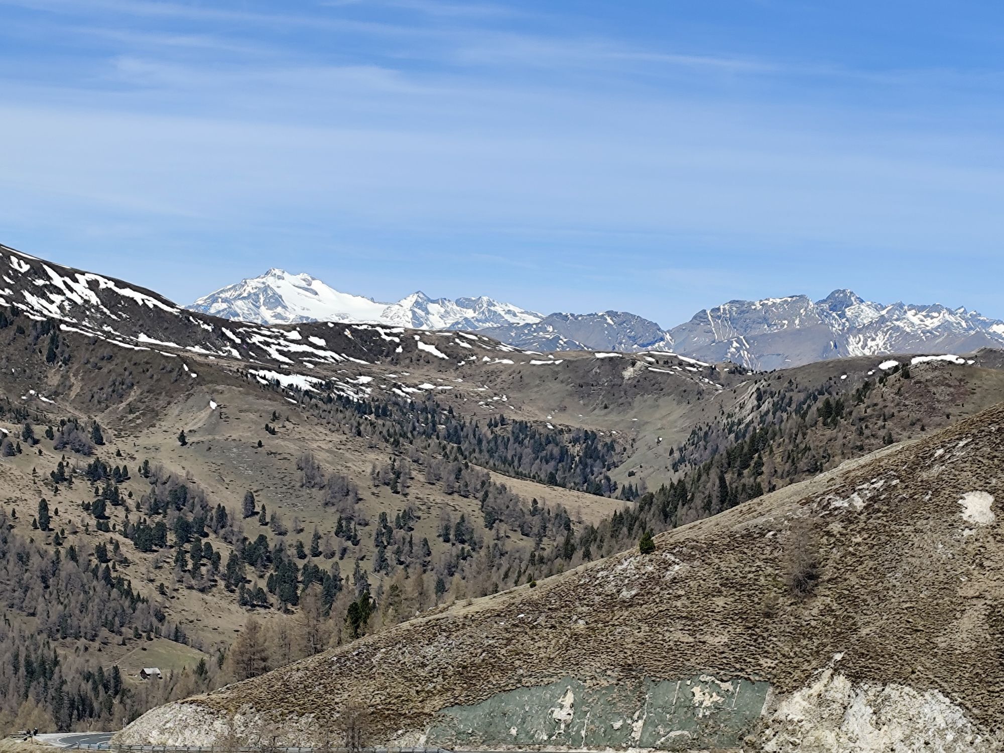
At km 36.03 you pass the Karlbad and arriving at the Eisentalhöhe (40.13) you reach the highest point of this circular route. Now it goes downhill, past the toll station (km 48.17), at the next junction at km 48.37 turn left to Kremsbrücke.

Before the church in Kremsbrücke (km 58.34) turn left towards Spittal, along the B 99 to Gmünd, here at the roundabout (km 68.5) go towards Landfraß/Perau. Then continue through Perau to Treffling, follow the main road, past the Sommeregg castle, at the junction with Obermillstätter Landstraße (km 80.2) turn left. Pass through Tangern (km 81.1), Laubendorf (km 83.6), Obermillstatt (km 86.57), Lammersdorf (km 87.9) and Sappl (km 89.8) to Dellach.

At the junction before the Brugger guesthouse (km 91.4) turn left onto the bike path, follow it to Döbriach, then continue to Radenthein and at the roundabout at km 99.7 towards Bad Kleinkirchheim/Turrach. The last climb follows back to Bad Kleinkirchheim, tourist information (km 107.98).

Recommendation: with a racing bike, ideally with 3 front chainrings.

Jednosměrná prohlídka

Ano

Informace o příjezdu
Veřejná doprava

Bus

Parkování

Public parking lot

Další informace a tipy
Další informace

nock/bike Competence Center
Krainer family
Sonnenstraße 5
A-9544 Feld am SEE
Tel.: +43 4246 3188
www.nockbike.com

Further information about the Bad Kleinkirchheim region at: www.badkleinkirchheim.at

Oceňování
4.7
5
(2)
4
(1)
3
(0)
2
(0)
1
(0)
Napište recenzi

Recenze pomáhají ostatním uživatelům při výběru dalšího dobrodružství. Hodnoťte prosím pouze prohlídku, nikoli počasí nebo svačinu.

Výběrem jedné z hvězdiček ohodnotíte prohlídku
Špatné turné
Slabé turné
Průměrné turné
Dobrá prohlídka
Vynikající prohlídka
Pěší turistika a stopování

Pěší turistika a stopování

Pěší turistika a stopování
Více než 550.000 návrhů výletů, podrobné mapy a intuitivní plánovač tras dělají z aplikace nezbytnou výbavu pro všechny milovníky přírody.
bergfex