


Tanzenberg Castle - Ottmanach - Magdalensberg
Úroveň obtížnosti: 2
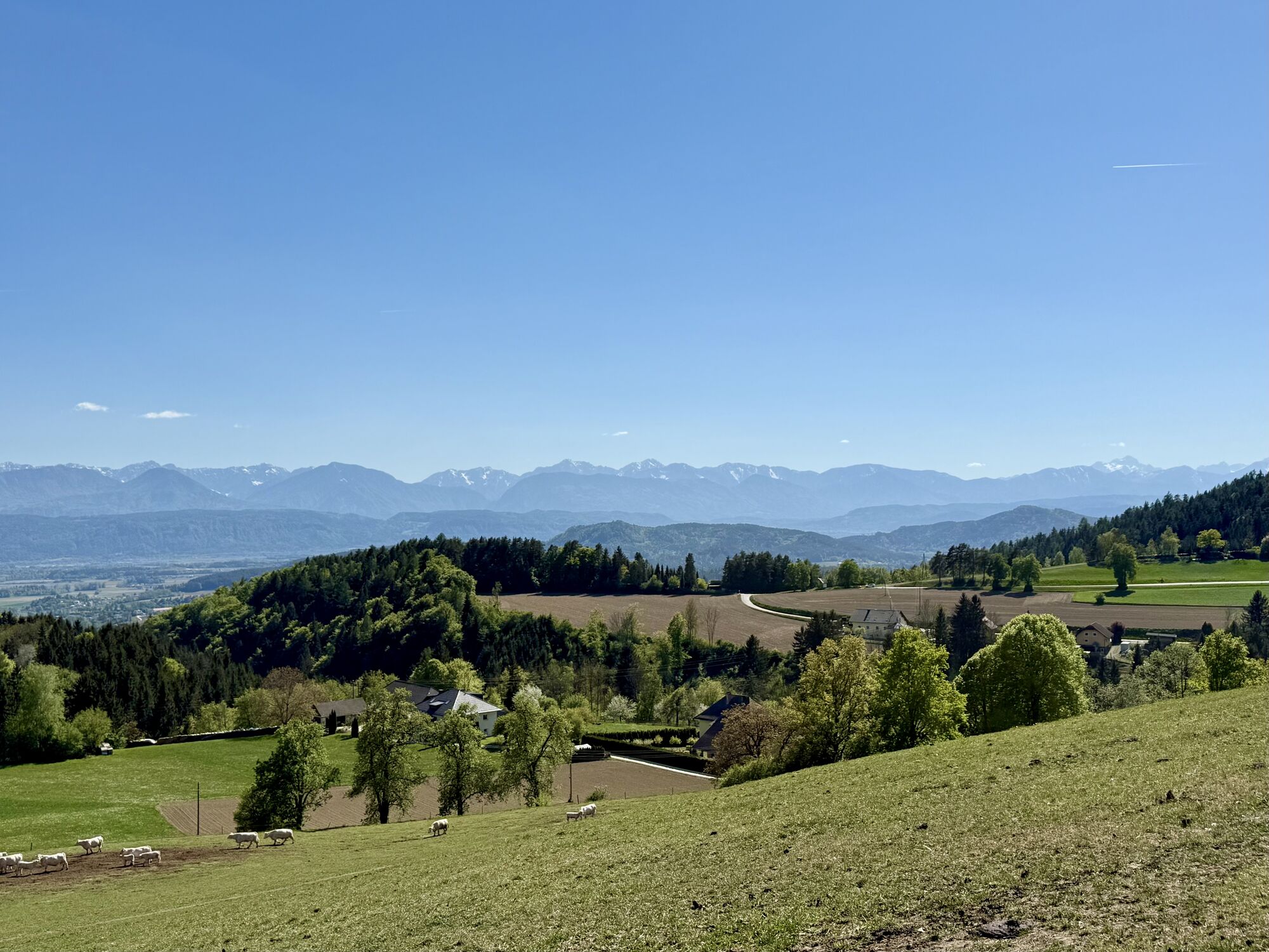
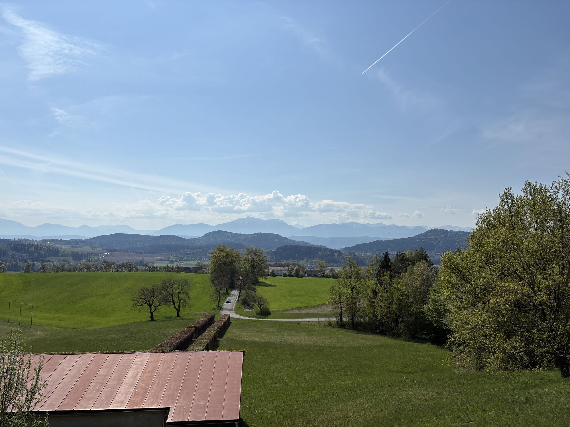

The road bike route from Tanzenberg Castle via Ottmanach to Magdalensberg leads through a beautiful, varied landscape in the heart of Carinthia. With a length of about 24 km, the route offers a mix of...
The road bike route from Tanzenberg Castle via Ottmanach to Magdalensberg leads through a beautiful, varied landscape in the heart of Carinthia. With a length of about 24 km, the route offers a mix of quiet, flat sections and more demanding climbs. It is ideal for cyclists looking for a sporting challenge without covering an extremely long distance.
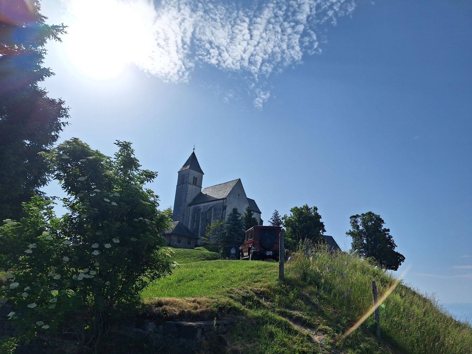
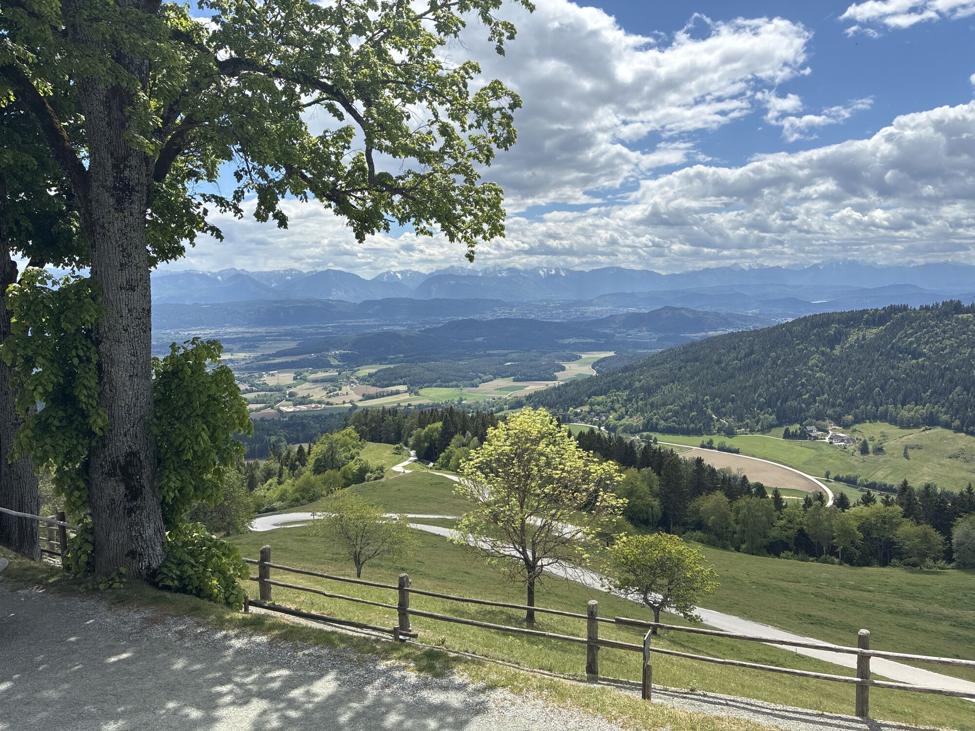
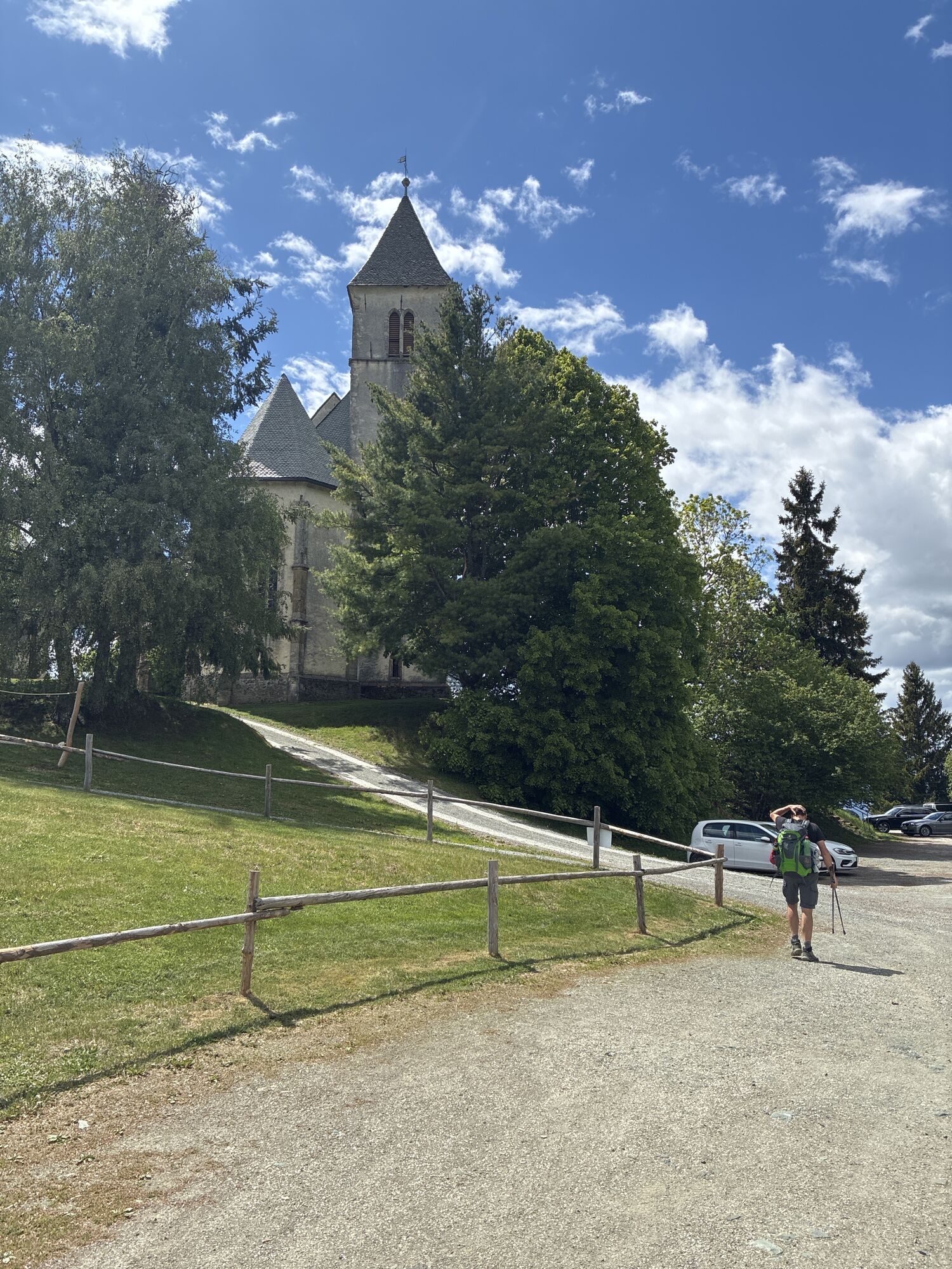
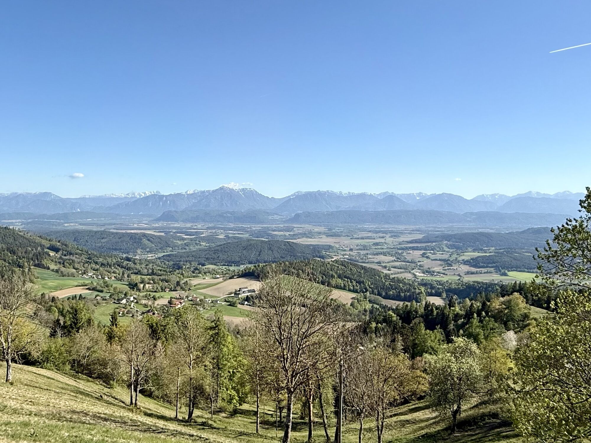
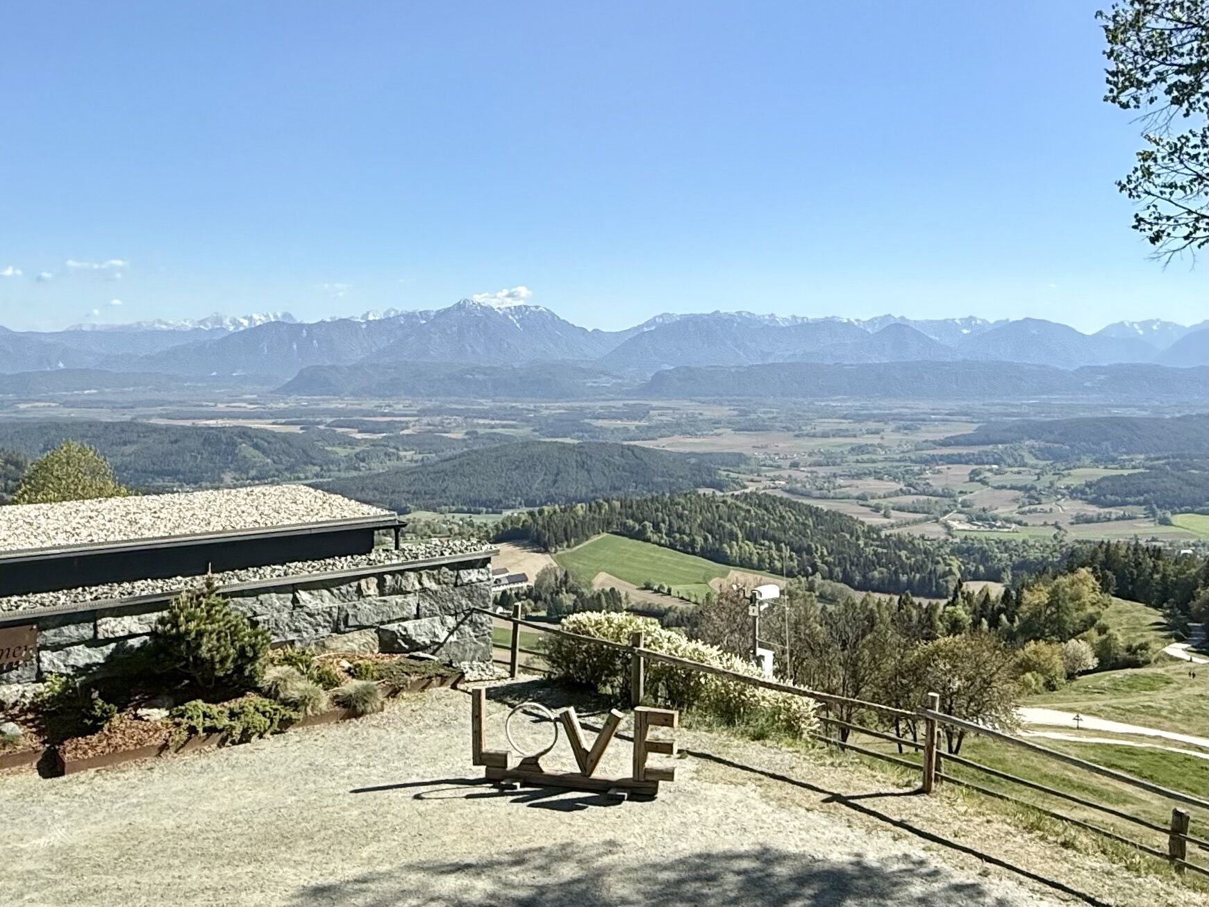
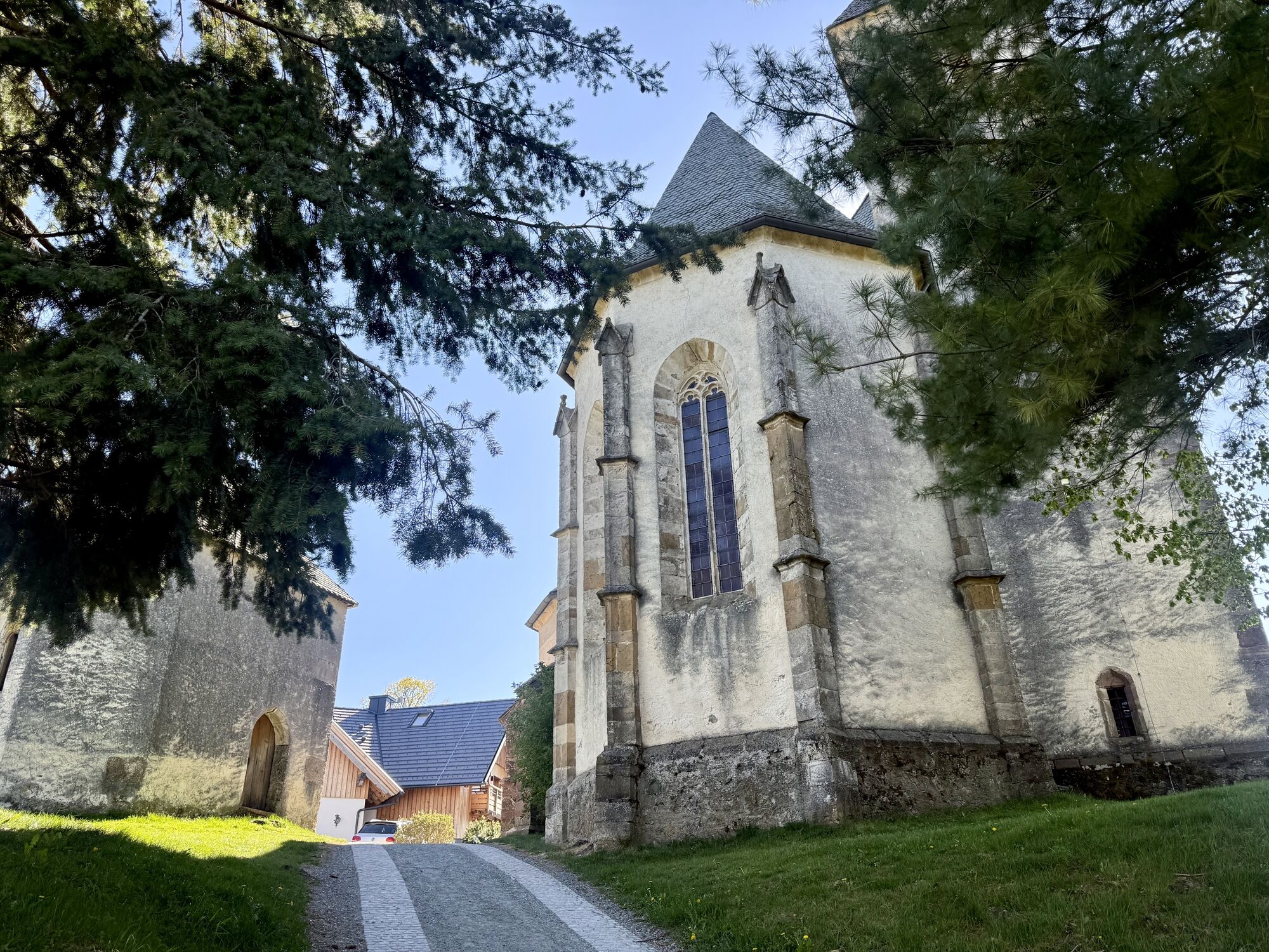
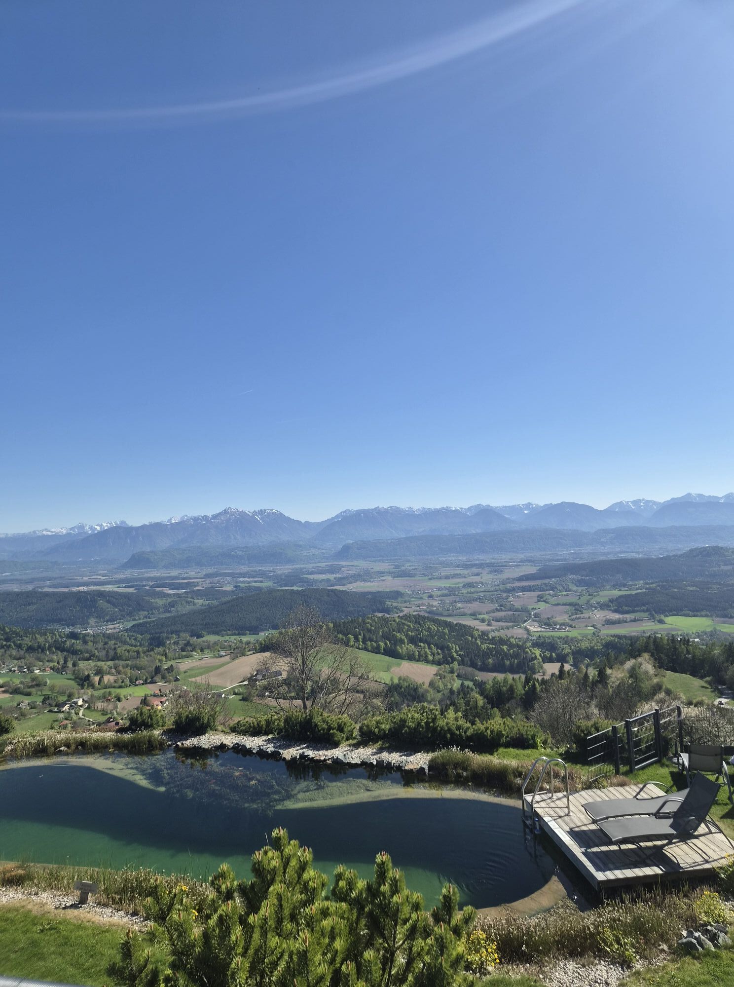
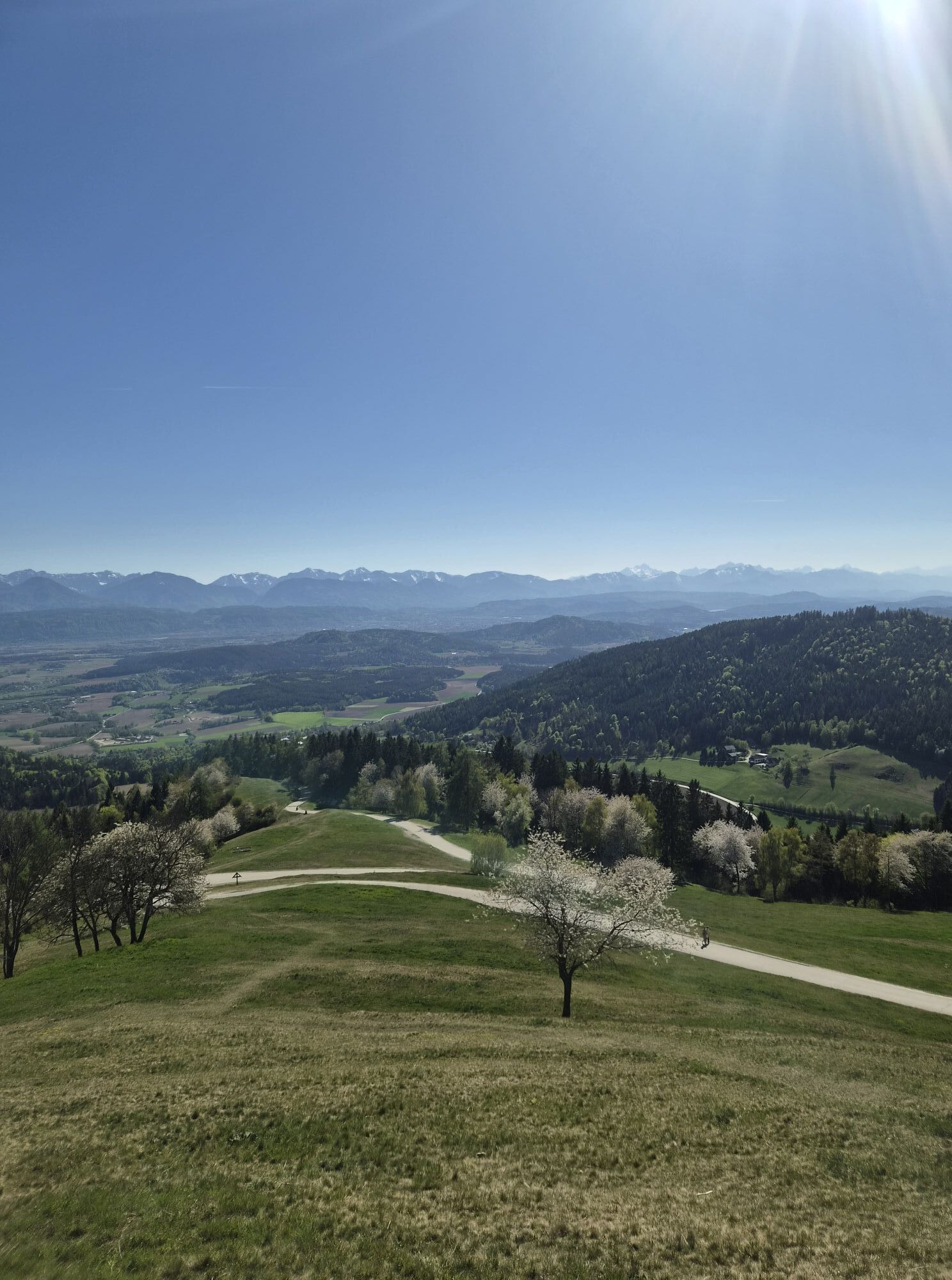
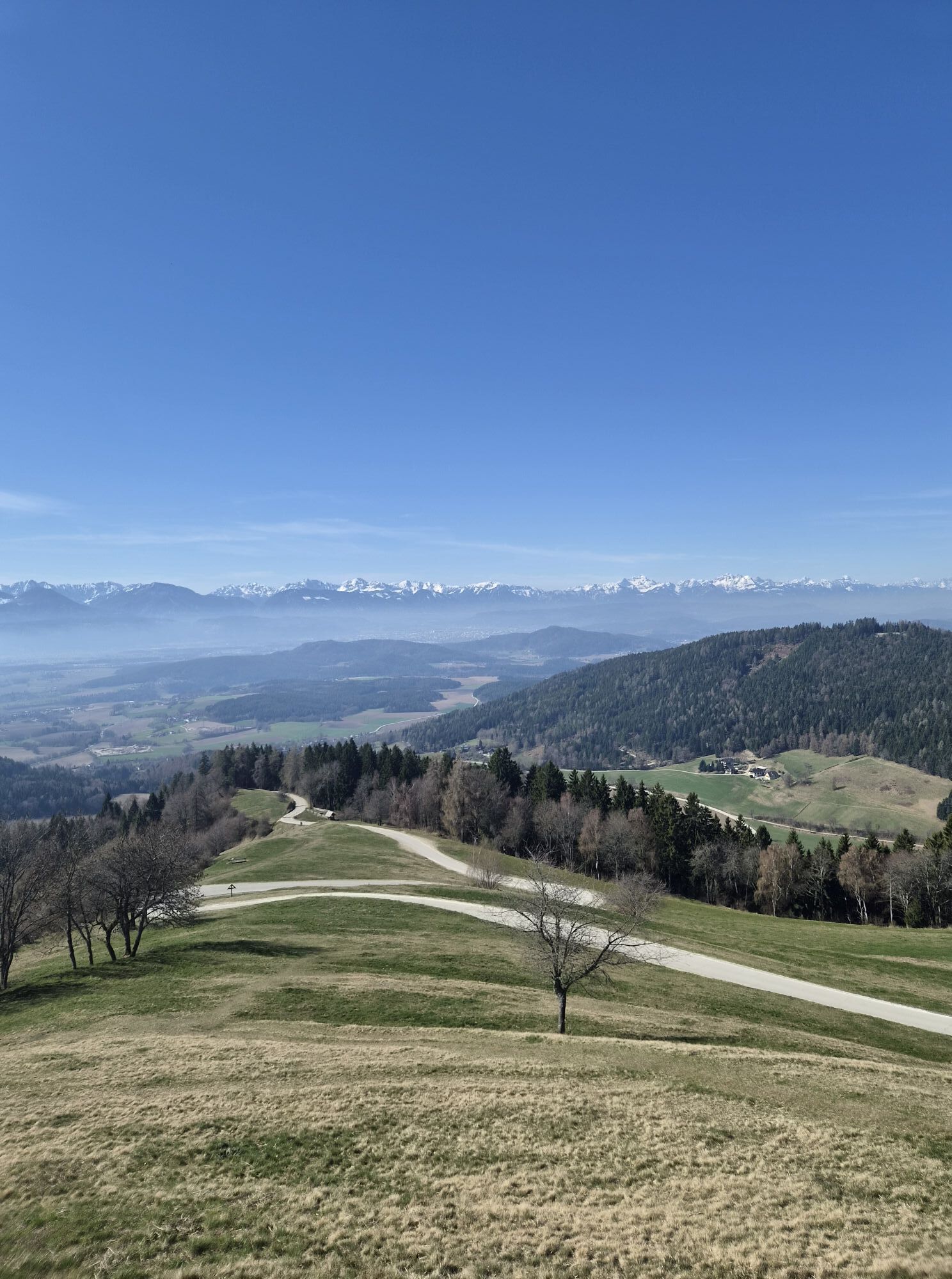
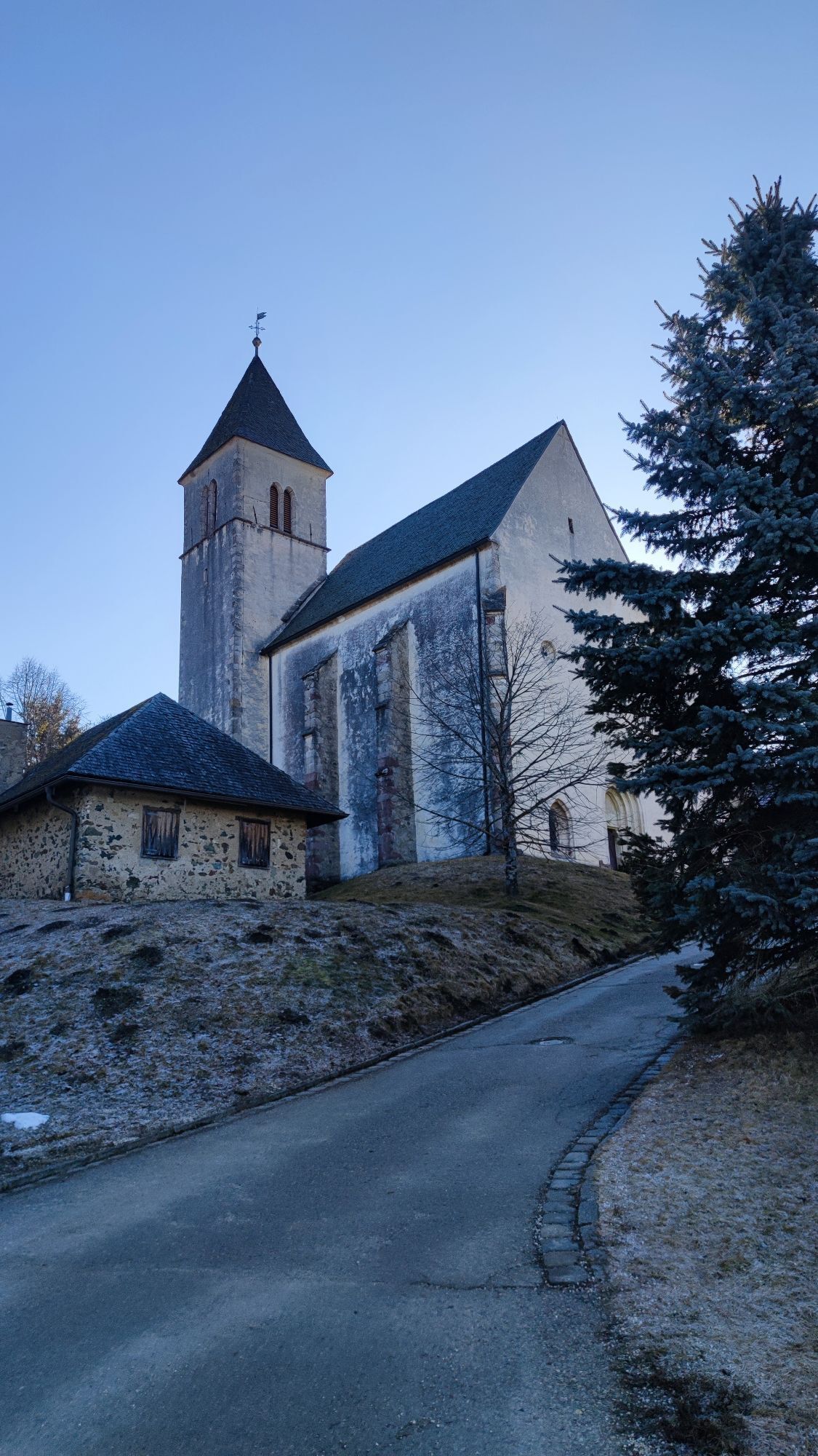
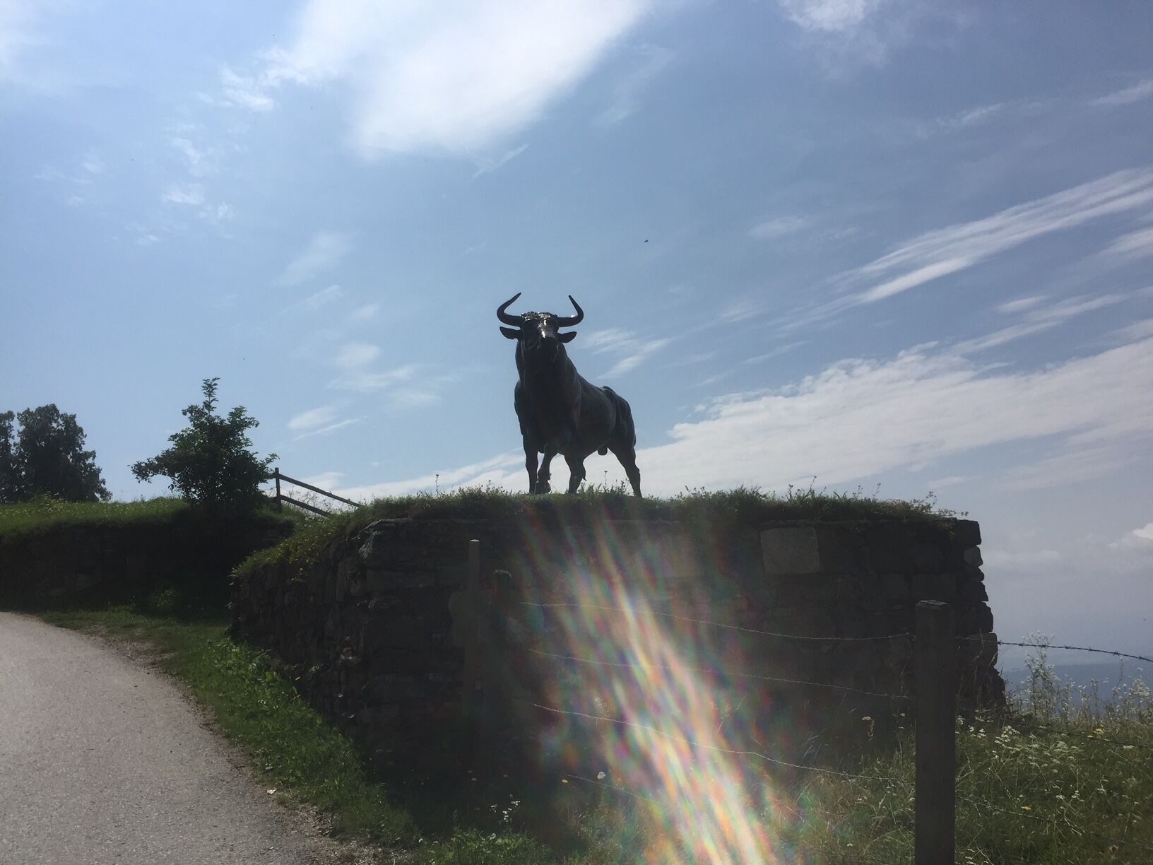
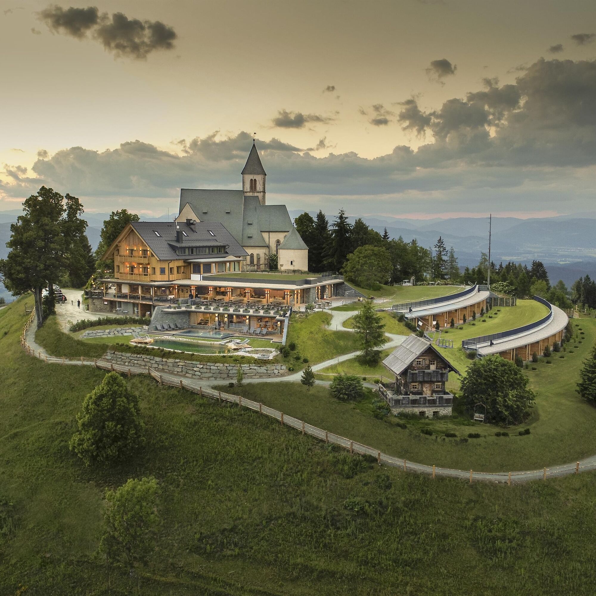
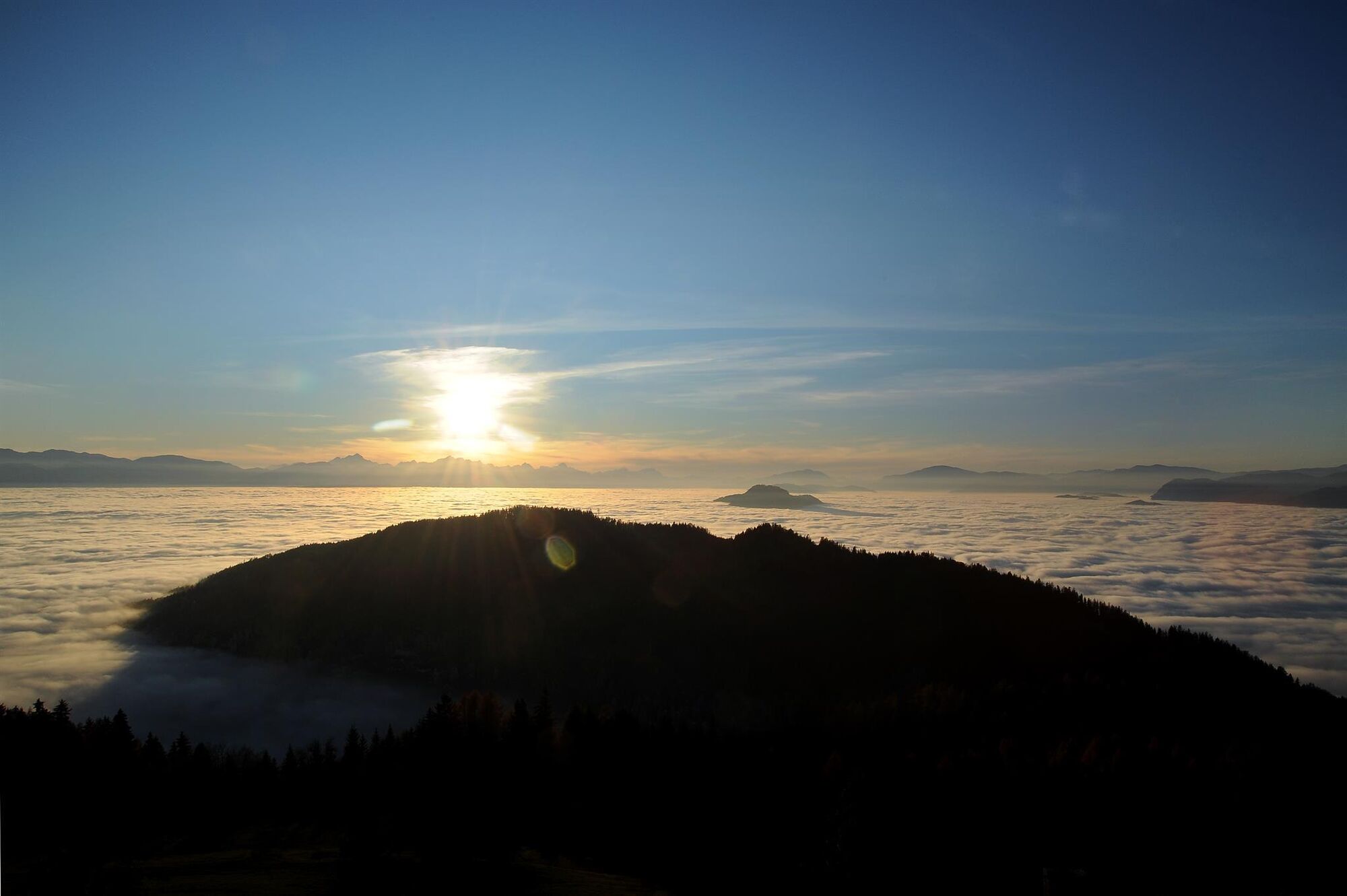
The route starts at Tanzenberg Castle, a historic landmark that already offers a great view at the beginning. The most demanding part of the route is the climb to Magdalensberg, which at a height of 1,142 meters offers a fantastic view of the surroundings.
The route is excellent for cyclists who want to enjoy nature as well as challenge their endurance.

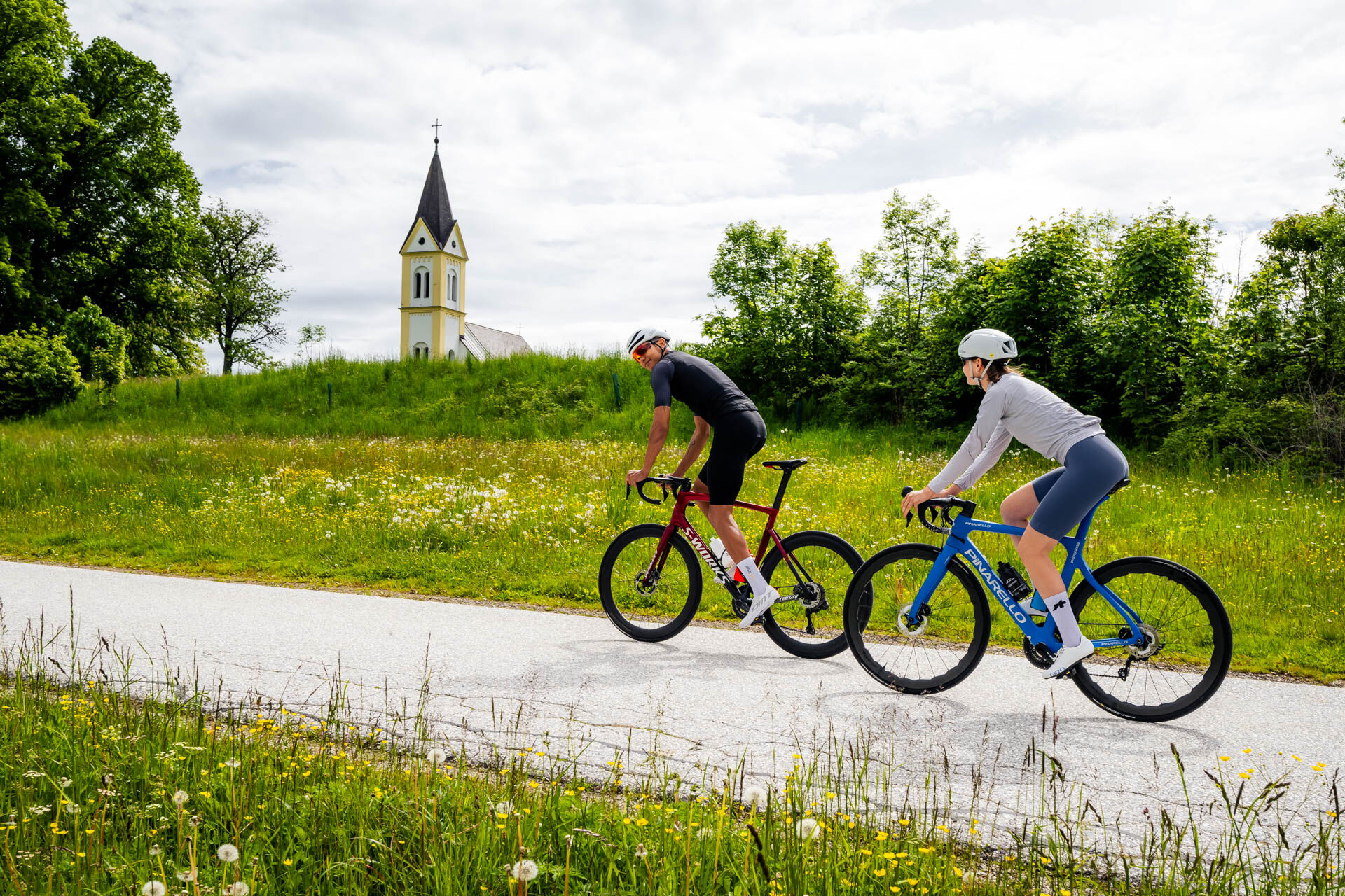
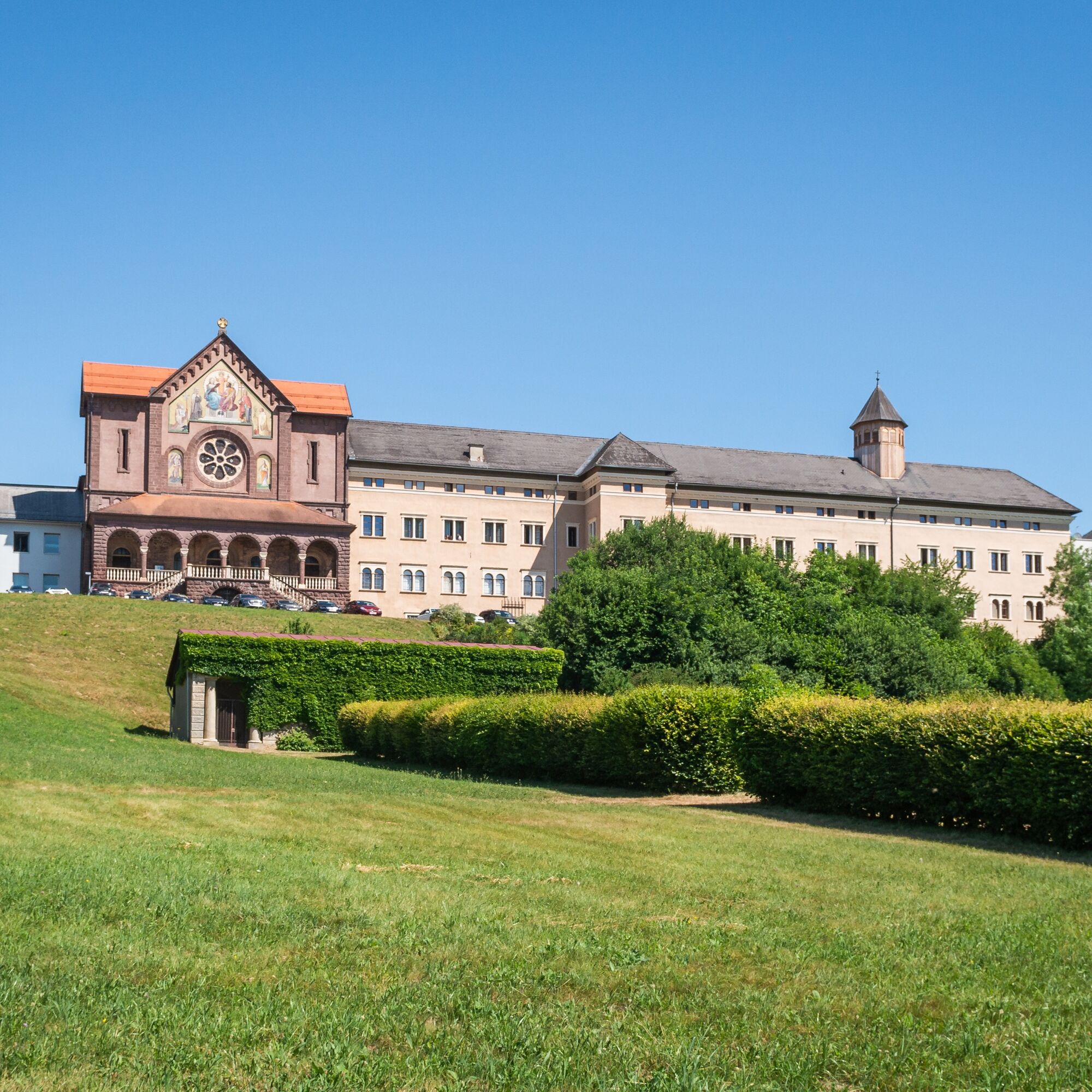

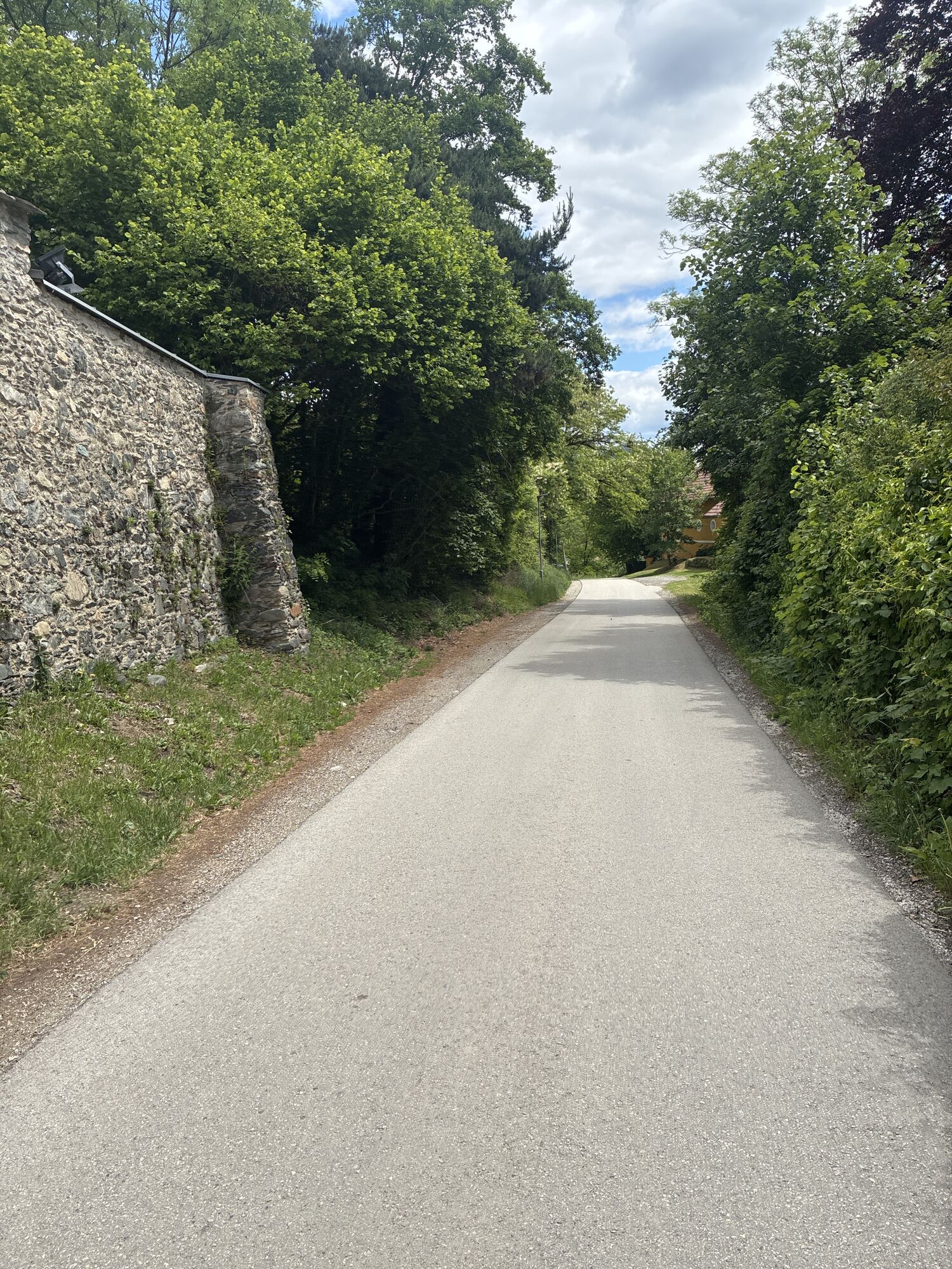
The route starts at Tanzenberg Castle, a historic site with an impressive view of the surroundings. From there, the path initially leads towards Ottmanach. The road is well rideable and offers a pleasant ride.
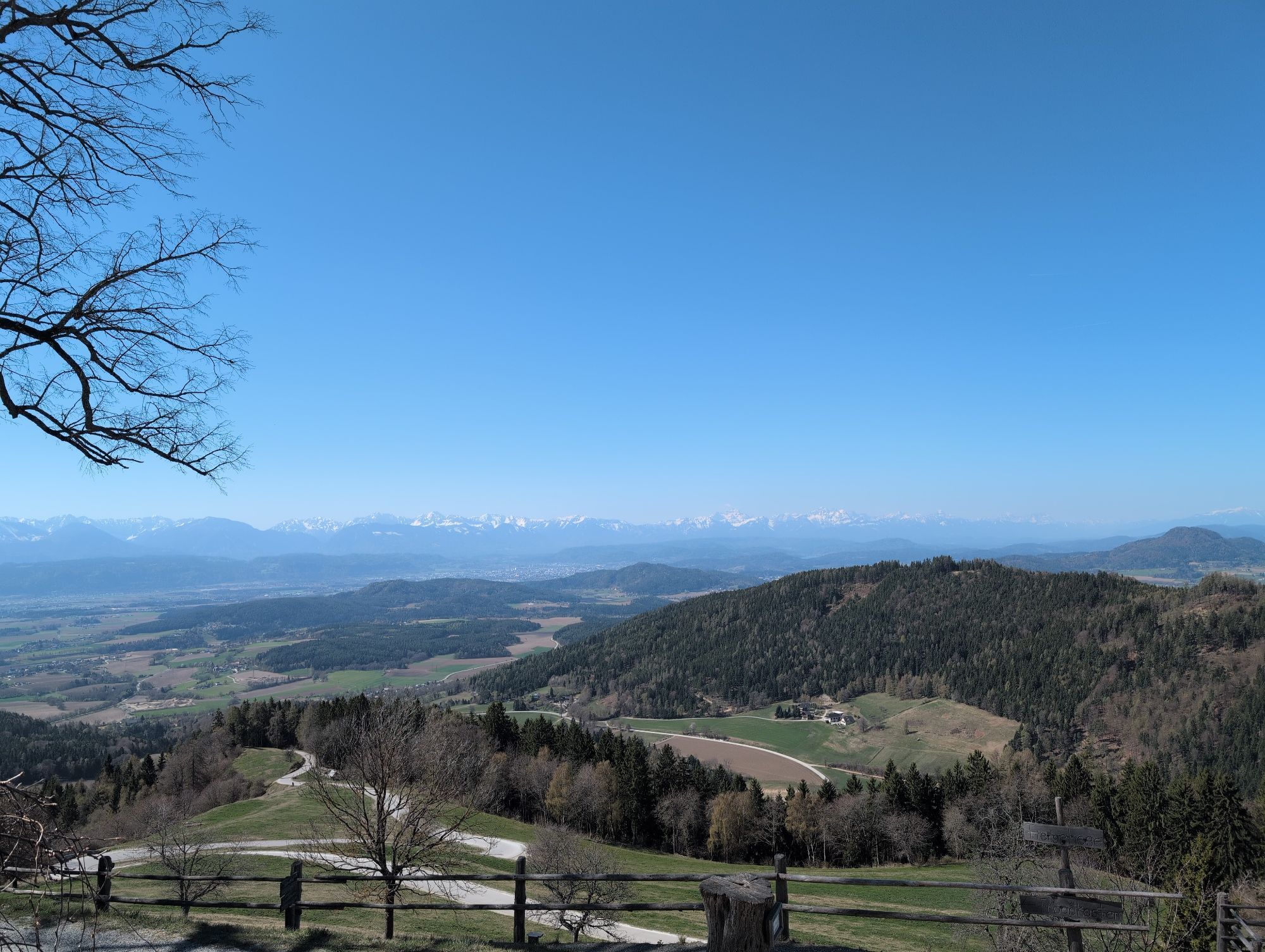
The more challenging part of the route begins with the climb to Magdalensberg, which, at 1,142 meters high, offers a fantastic view over the Klagenfurt Basin and the surrounding Alpine regions. The ascent to Magdalensberg is steep and tests the endurance of cyclists, but rewards them with breathtaking panoramas and an impressive historical site.
Ano
comfortable clothing, suitable bike, provisions, sufficient water
pay attention to the weather; inform someone where you are going and when you will return; charged mobile phone; observe local traffic rules and occasional agricultural vehicles on the roads
use your route planner:
from the north: via Leoben – Judenburg – Neumarkt – Tanzenberg
from the east: via Völkermarkt – Klagenfurt – Tanzenberg
from the south: via Klagenfurt – Tanzenberg
from the west: via Villach – Klagenfurt – Tanzenberg
ÖBB timetable information:
https://fahrplan.oebb.at/webapp/#!P|TP!H|704158
ample parking available
2
Tanzenberg Castle
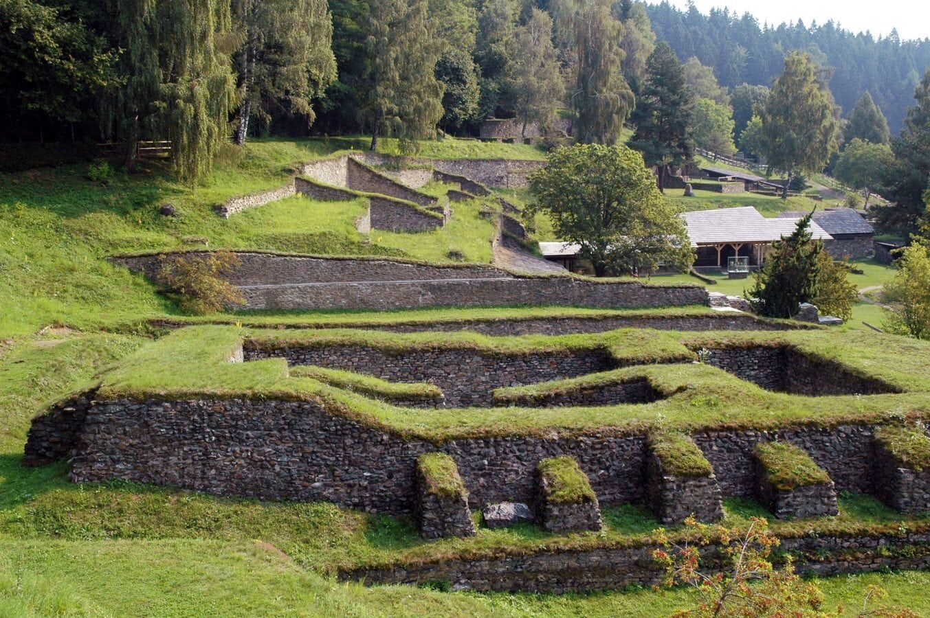
Archaeological Park Magdalensberg
Slow Food establishments
Oblíbené prohlídky v okolí
- 4.8
Abenteuer-Wasser-Weg
středníTuristika 9.13 km - 4.7
Vierbergelauf
středníPoutní stezka 47.6 km - 4.7
Zillhöhe
středníBěh 7.94 km - 4.5
Ulrichsberg
světloTuristika 5.60 km - 3.6
Kunstwanderweg rund um den Längsee (1)
světloTuristika 5.43 km - 4.1
MAGDALENSBERG RUNDWANDERUNG
středníTuristika 11.7 km - 4.4
Magdalensberg von St.Donat
světloTuristika 9.28 km - 3.8
Schloss Frauenstein - Kraiger lake circular route
světloTuristika 6.96 km - 4.0
Around the Buchberg (6)
středníTuristika 8.79 km - 4.7
Through the Wolschart Forest (8)
světloTuristika 9.98 km
Pěší turistika a stopování


Nenechte si ujít nabídky a inspiraci pro vaši příští dovolenou
Vaše e-mailová adresa byl přidán do poštovního seznamu.