


Metnitz - Dreiwiesenhütte
Úroveň obtížnosti: 4

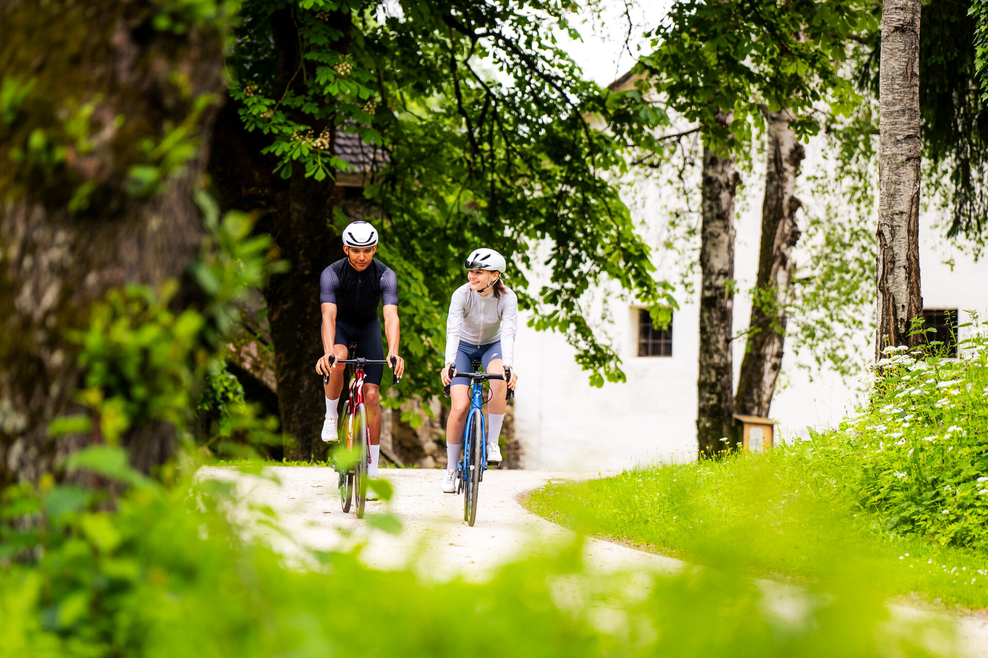
The road bike tour is a challenging mountain tour that is ideal for experienced and fit cyclists. It leads through the Metnitz Valley and ends at the Dreiwiesenhütte hut at around 1,750 m, where a well-earned...
The road bike tour is a challenging mountain tour that is ideal for experienced and fit cyclists. It leads through the Metnitz Valley and ends at the Dreiwiesenhütte hut at around 1,750 m, where a well-earned rest with regional delicacies awaits the riders.
The tour starts in the idyllic village of Metnitz and covers a distance of 43 km with a continuous ascent of 1,000-1,200 meters in altitude. After a moderate start, the route becomes continuously steeper, with passages with gradients of up to 12%. The well-maintained roads wind their way through hairpin bends, offering varied views of the Metnitz Valley and the surrounding mountains.
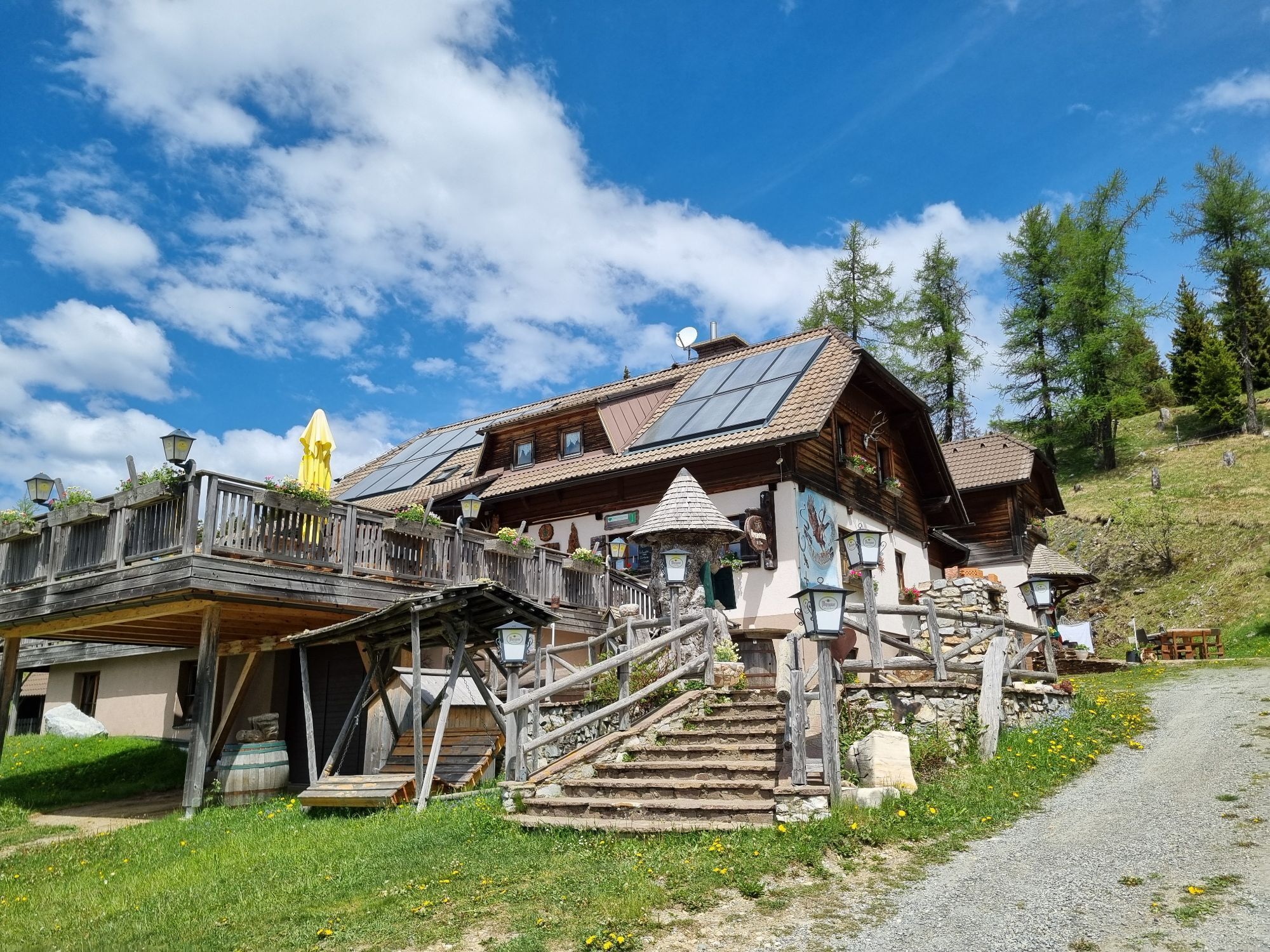
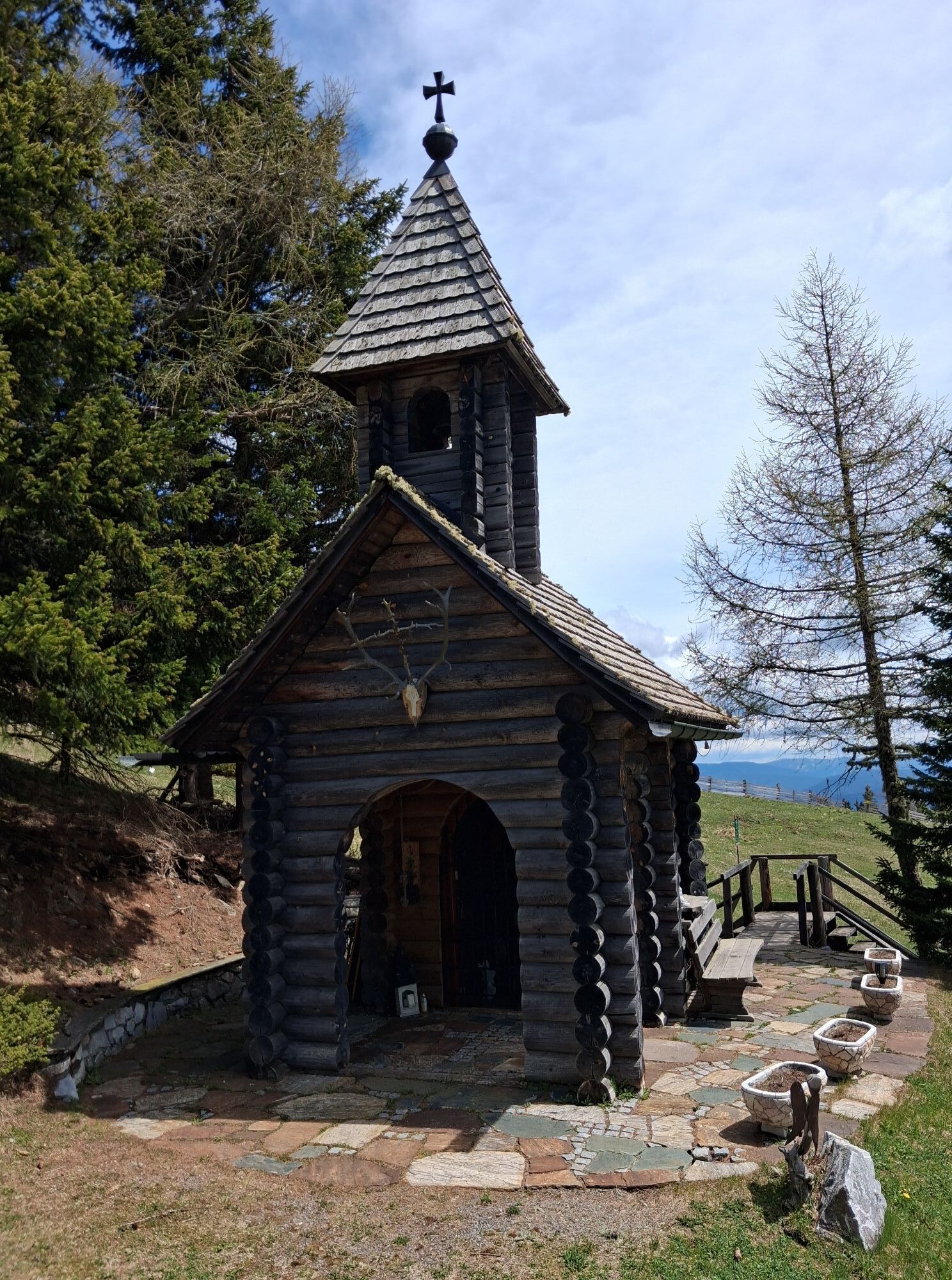
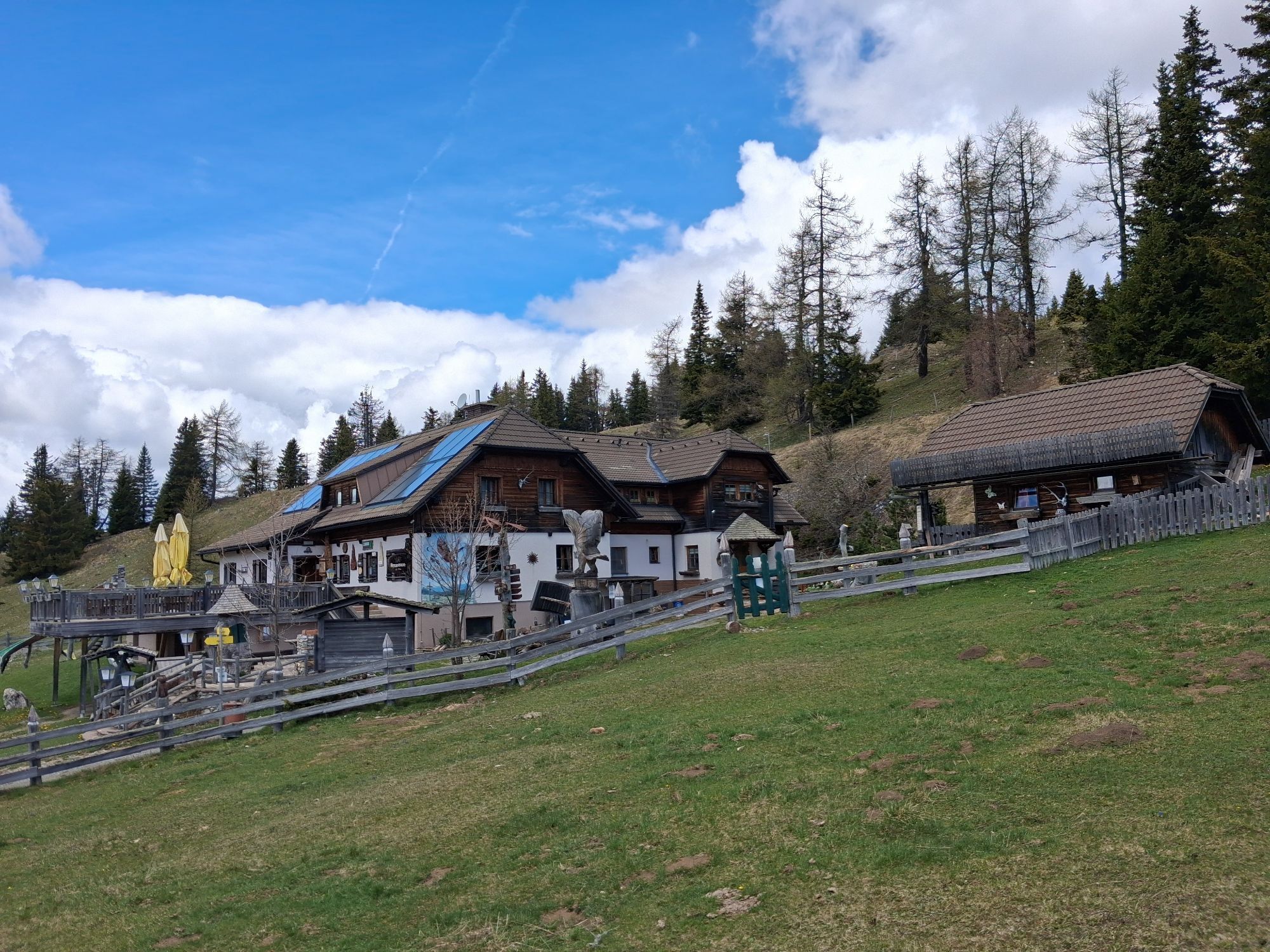
The highlight of the tour is the Dreiwiesenhütte, a rustic alpine hut with a magnificent panoramic view. Here, riders can fortify themselves with regional specialties and enjoy the mountain landscape after the strenuous climbs. This tour combines a sporting challenge with impressive nature experiences - a must for ambitious mountain bikers!

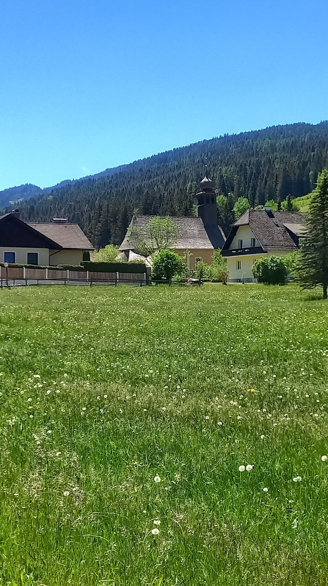
Metnitz - start of the ascent
The tour begins in Metnitz with a moderate ascent that quickly becomes steeper. The quiet road leads through dense forests and occasionally along alpine pastures.
Challenging middle section:
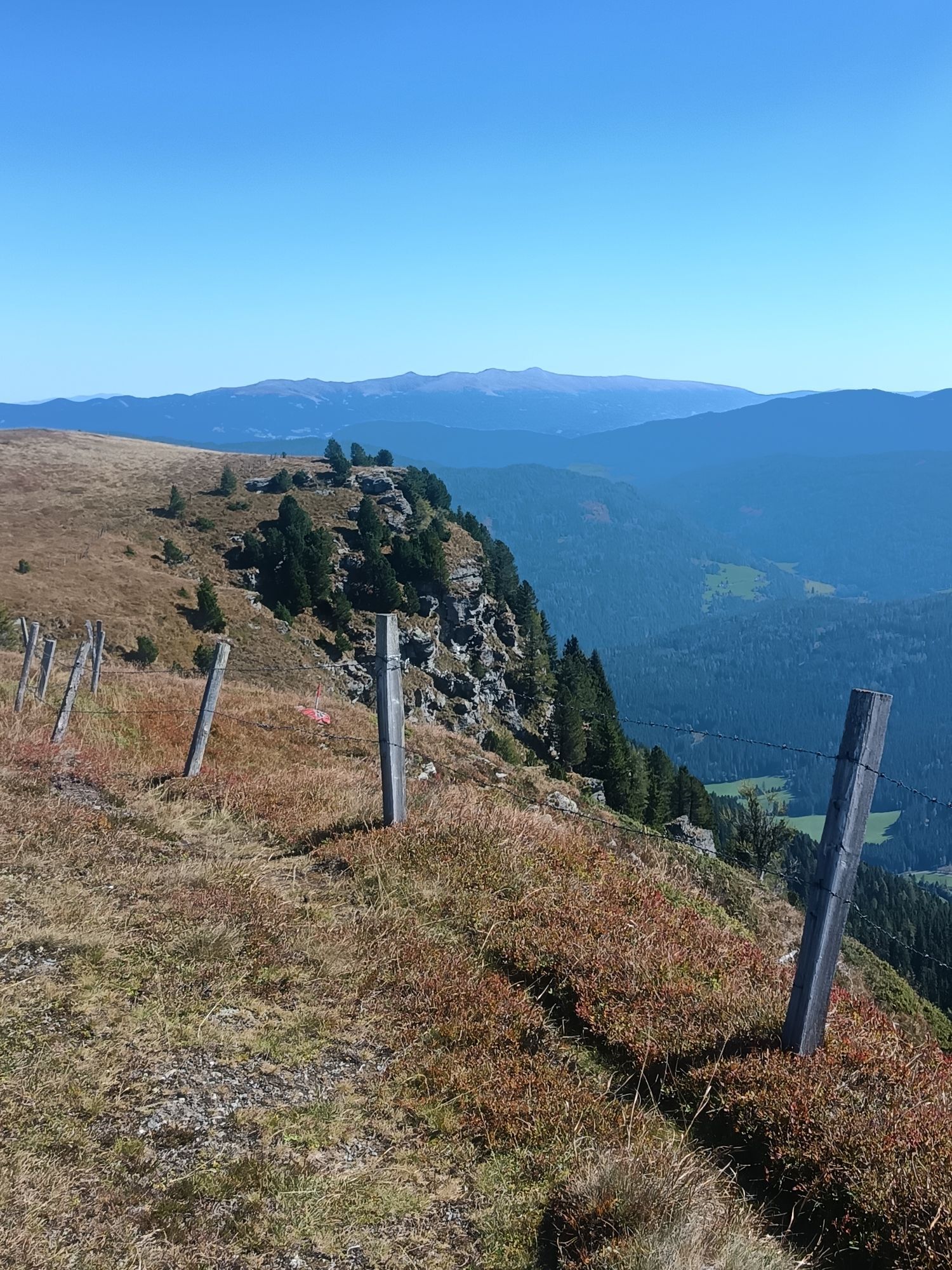
The ascent to the Dreiwiesenhütte is demanding throughout, with gradients of up to 10-12%. Regular hairpin bends provide variety, while nature inspires with ever more impressive views of the Metnitz Valley.
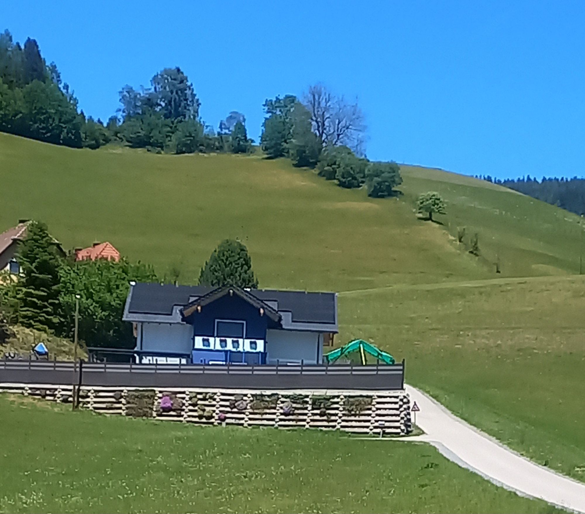
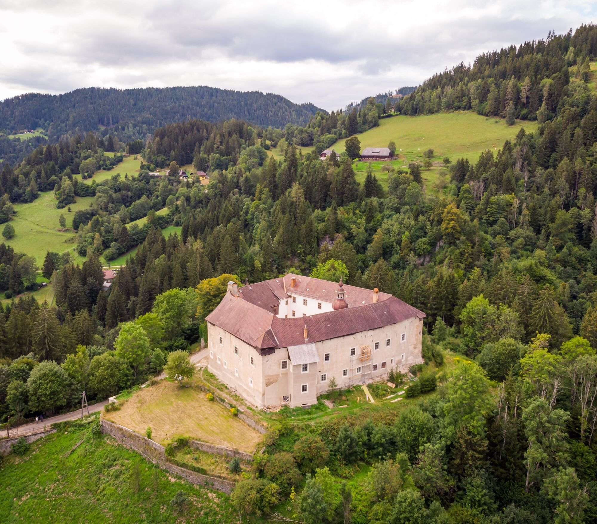
Destination: Dreiwiesenhütte
At the end of the energy-sapping climb, the Dreiwiesenhütte, an alpine hut with a cozy atmosphere and Carinthian specialties, awaits. Here riders can enjoy the view and a well-deserved break.
comfortable clothing, suitable bike, provisions, sufficient water
pay attention to the weather; tell someone where you are going and when you will be back; loaded cell phone pay attention to local traffic rules and occasional agricultural vehicles on the roads
use your route planner
ÖBB timetable information: https://fahrplan.oebb.at/webapp/#!P|TP!H|704158
Enough parking spaces available
4
You can find more tours here:
https://regio.outdooractive.com/oar-mittelkaernten/de/
Stop off at the Drewiesenhütte
Slow Food establishments
Oblíbené prohlídky v okolí
- 4,9
Rundweg Murauer hütte-Frauenalp, Steiermark/Österreich
středníTuristika 9,07 km - 4,3
4 Seen Wanderung
světloTuristika 7,65 km - 4,7
Graggerschlucht
středníTematická stezka 3,91 km - 5,0
Frauenalpe
světloTuristika 5,90 km - 4,7
Höhenweg Scharfes Eck
středníTuristika 6,18 km - 4,8
Murau - Frauenalpe
středníTuristika 15,4 km - 4,8
Grebenzen Runde
středníTuristika 13,7 km - 4,3
Weg zum Stolzalpengipfel
středníTuristika 17,2 km - 5,0
Kuhalm
středníTuristika 16,8 km - 4,7
Schitour Grebenzen
středníLyžařská trasa 8,66 km

Pěší turistika a stopování


Nenechte si ujít nabídky a inspiraci pro vaši příští dovolenou
Vaše e-mailová adresa byl přidán do poštovního seznamu.