







Launsdorf - Passering - Guttaring - Hüttenberg - Heft
Úroveň obtížnosti: 2
The road bike route is a sporty route that runs through the impressive, partly mountainous Carinthian surroundings. With a length of 30 km, it offers ambitious riders sporting challenges and impressive...
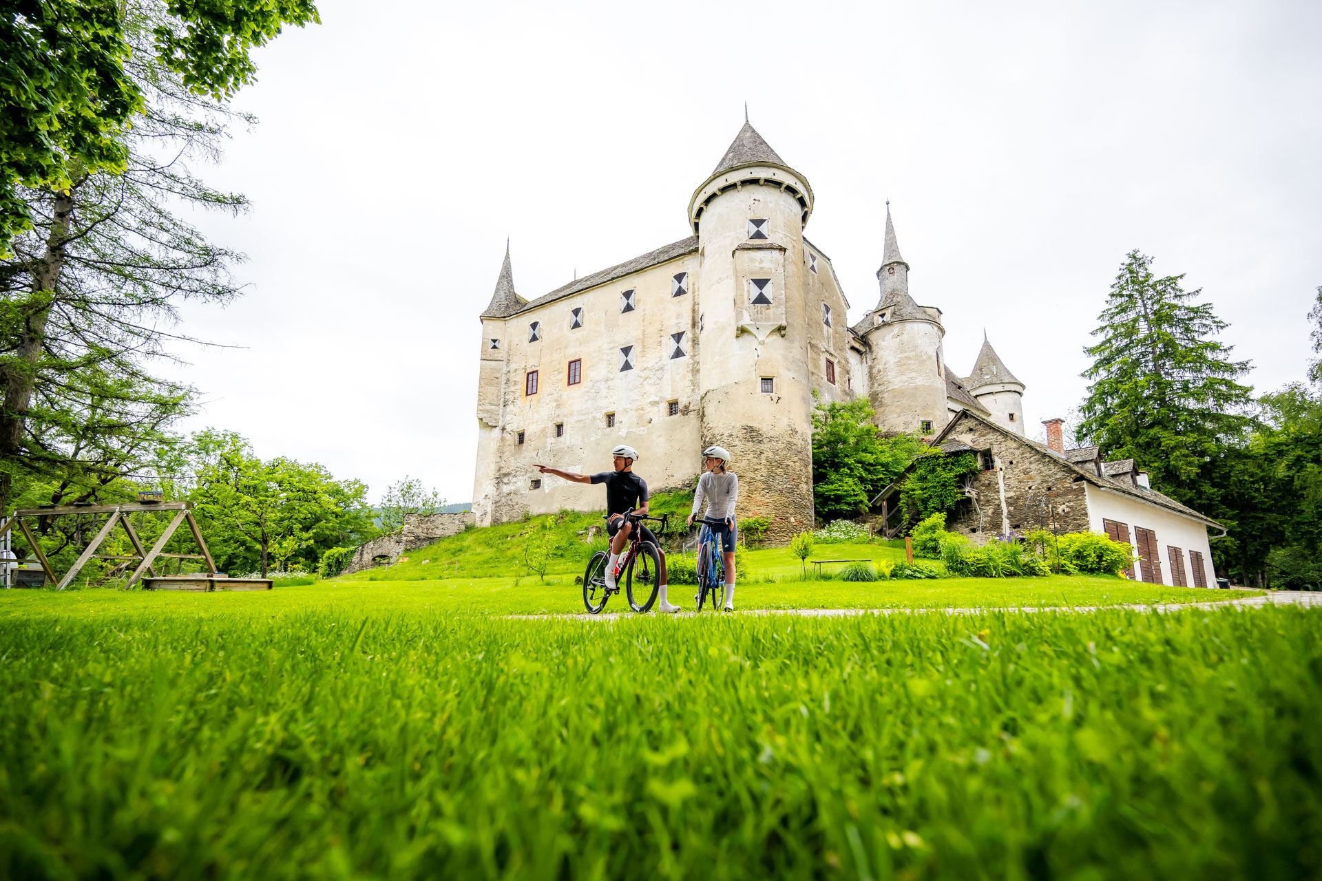
The road bike route is a sporty route that runs through the impressive, partly mountainous Carinthian surroundings. With a length of 30 km, it offers ambitious riders sporting challenges and impressive nature experiences. The route mainly runs on well-paved and low-traffic secondary roads, ideal for a safe and relaxed ride.
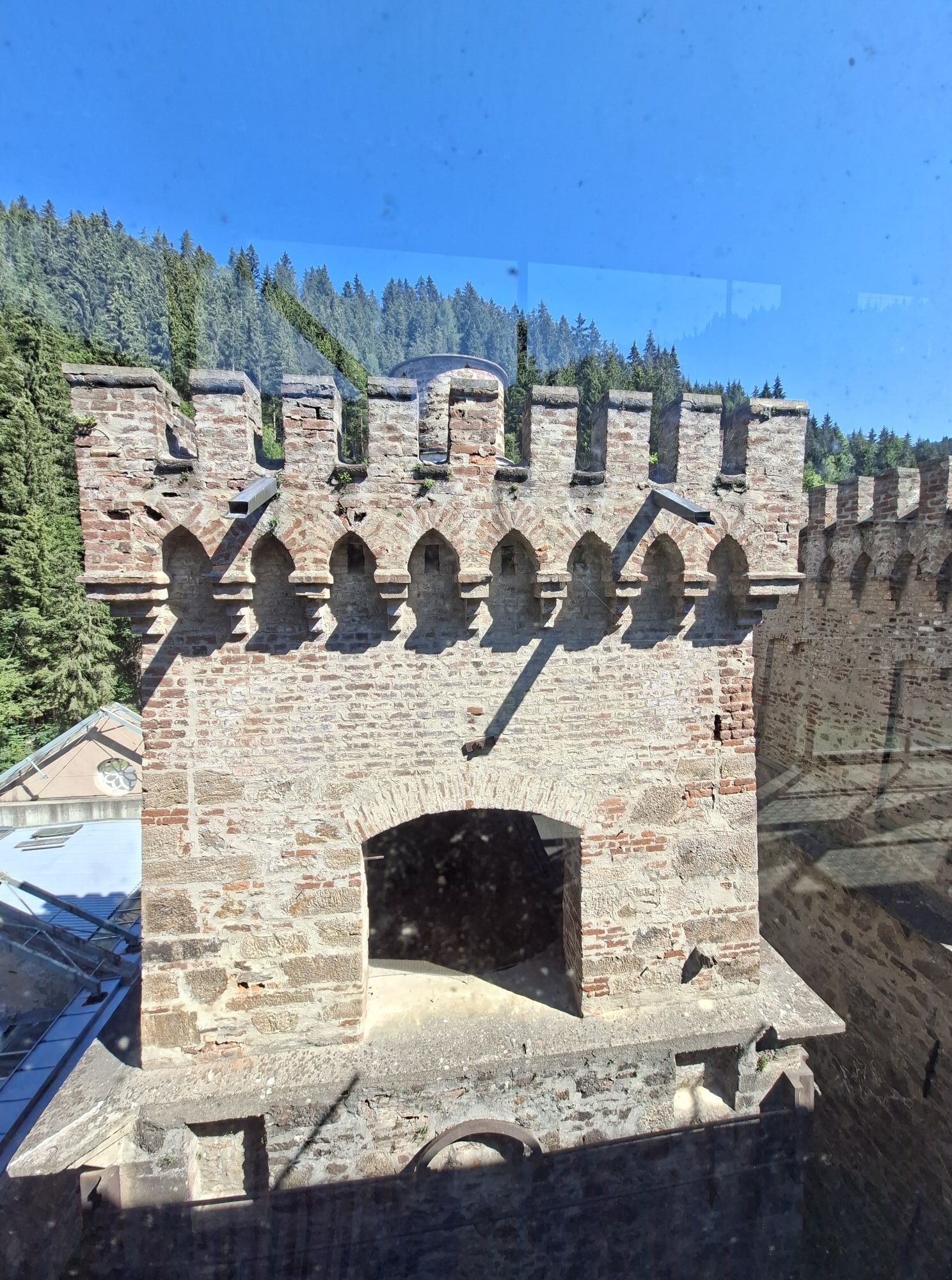
The route begins in Launsdorf, near the famous Hochosterwitz Castle, and initially climbs gently to Passering and Guttaring. From here the route becomes more demanding: the ascent to Hüttenberg through the idyllic Görtschitz Valley requires fitness but is rewarded with magnificent panoramas. Hüttenberg, a village with a rich mining history, invites you to a short stop. Then follows a fast ride to Heft, which guarantees riding fun with fast and curvy sections.
This varied route impresses with its mix of sporting challenge, quiet roads, and a scenic variety of mountains, valleys, and forests – perfect for experienced road cyclists!

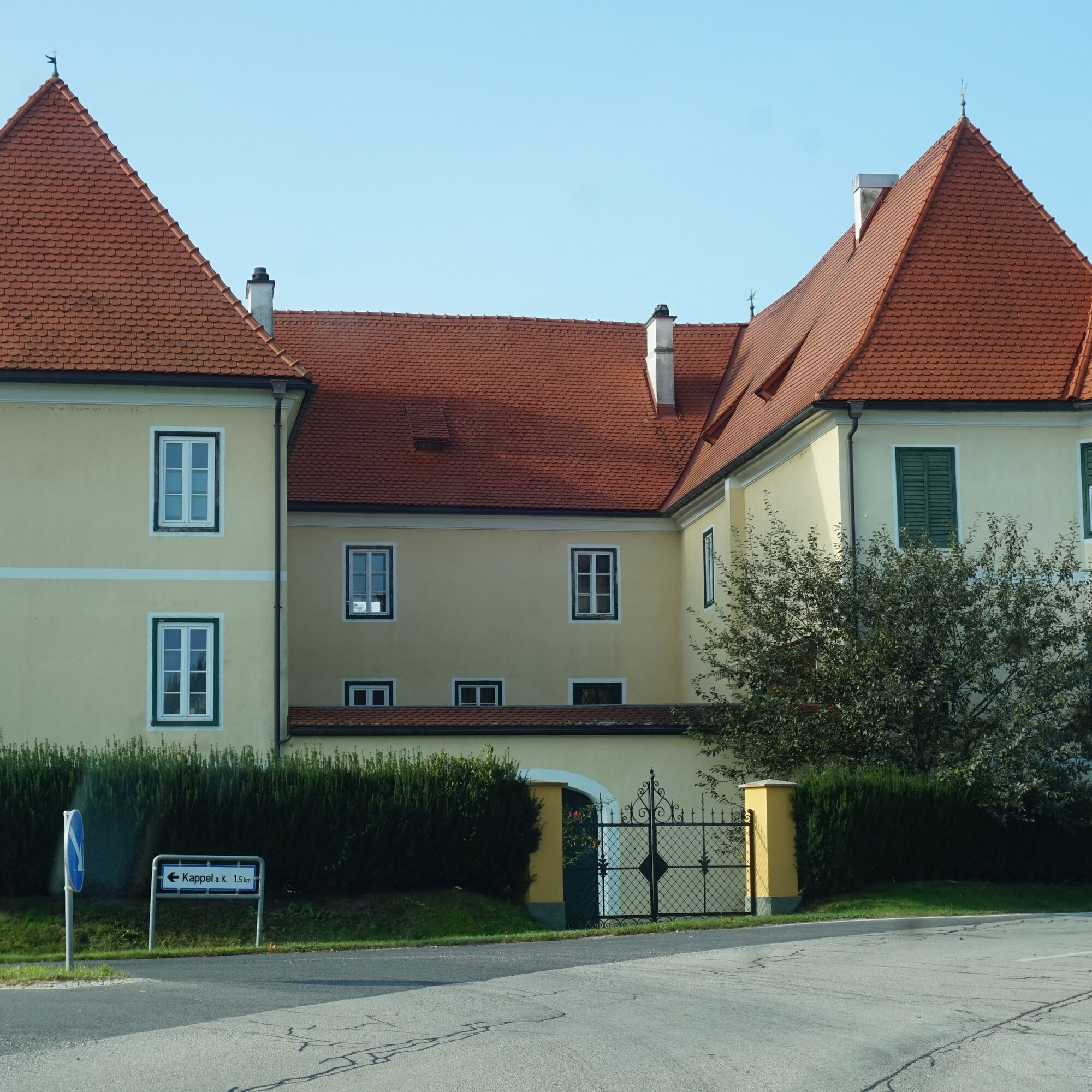
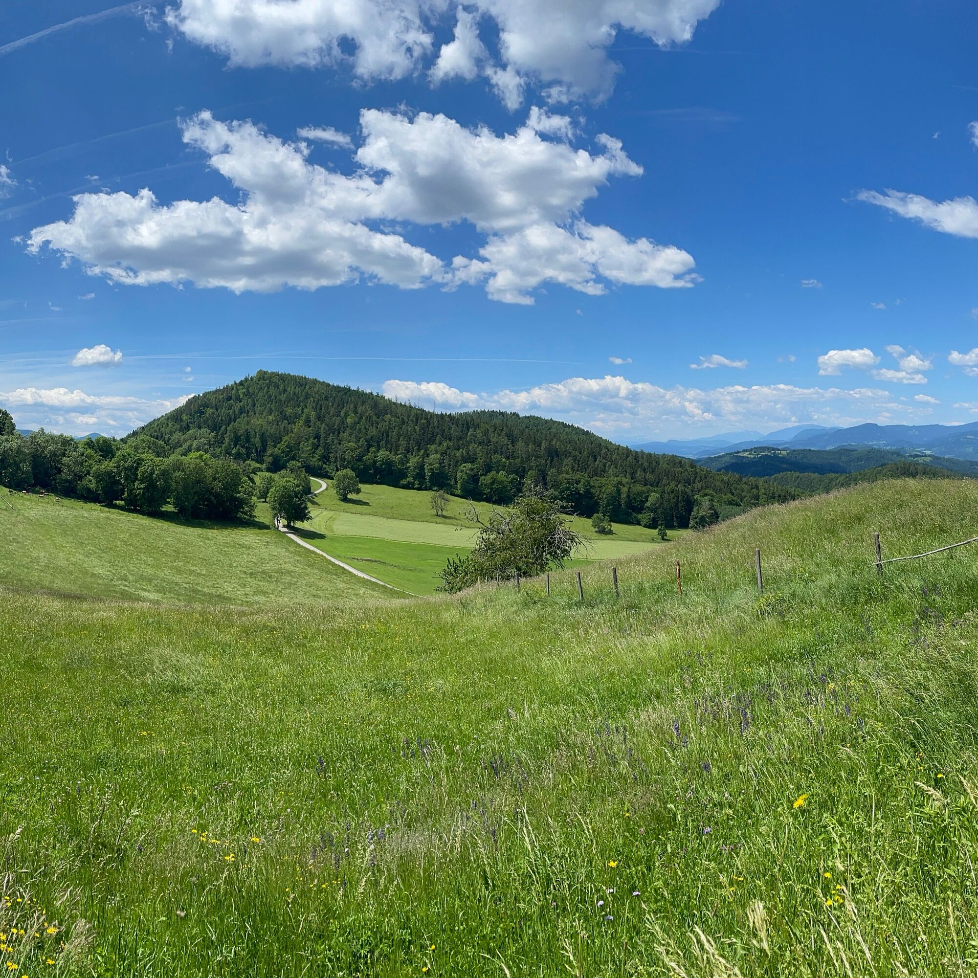

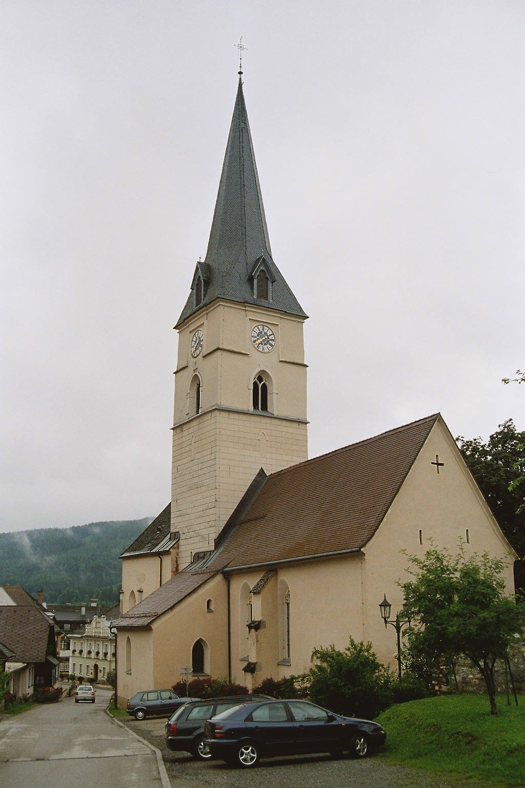
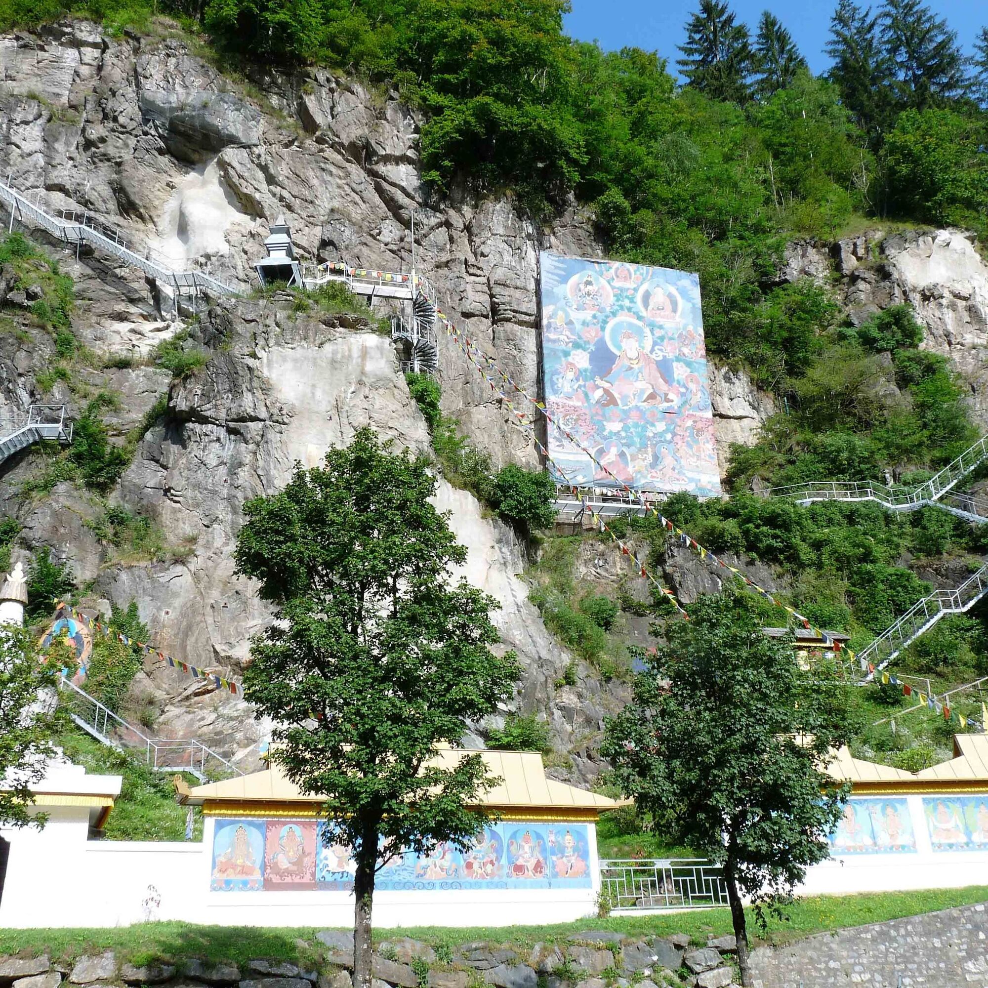
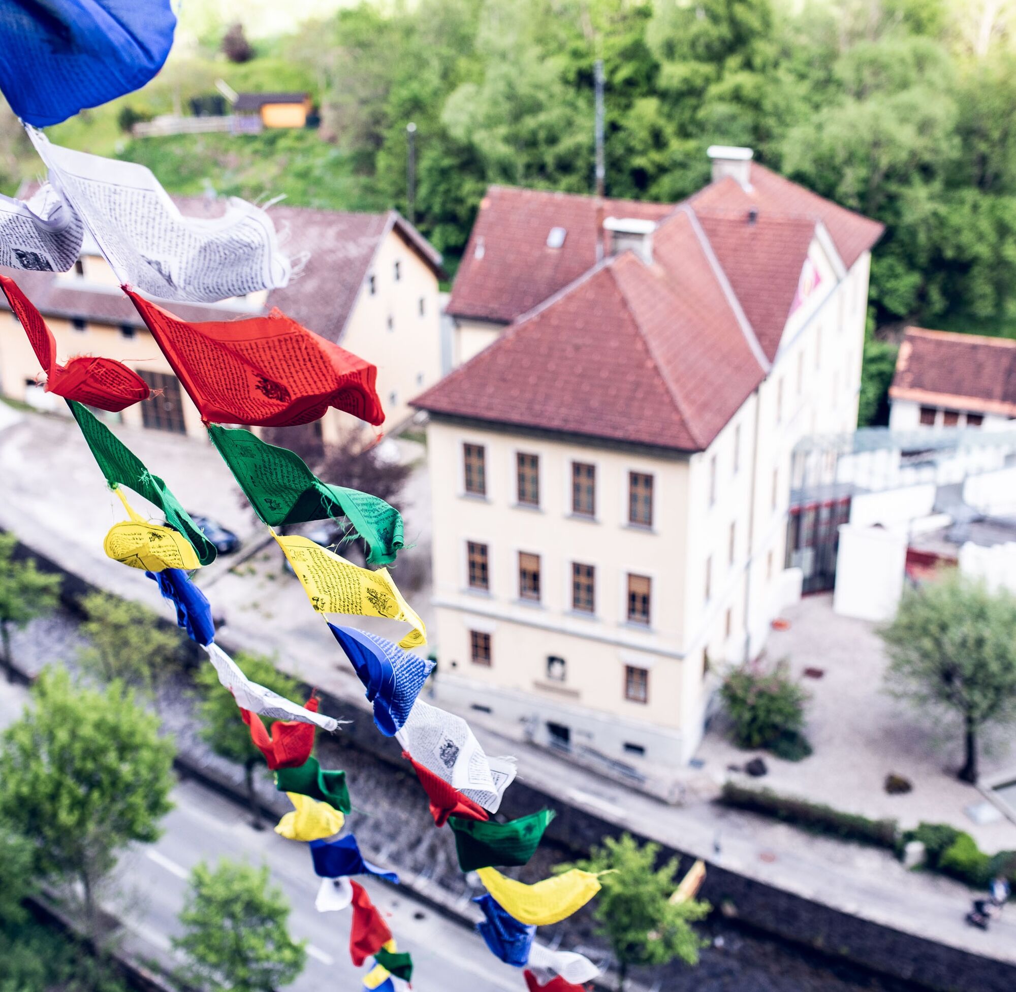
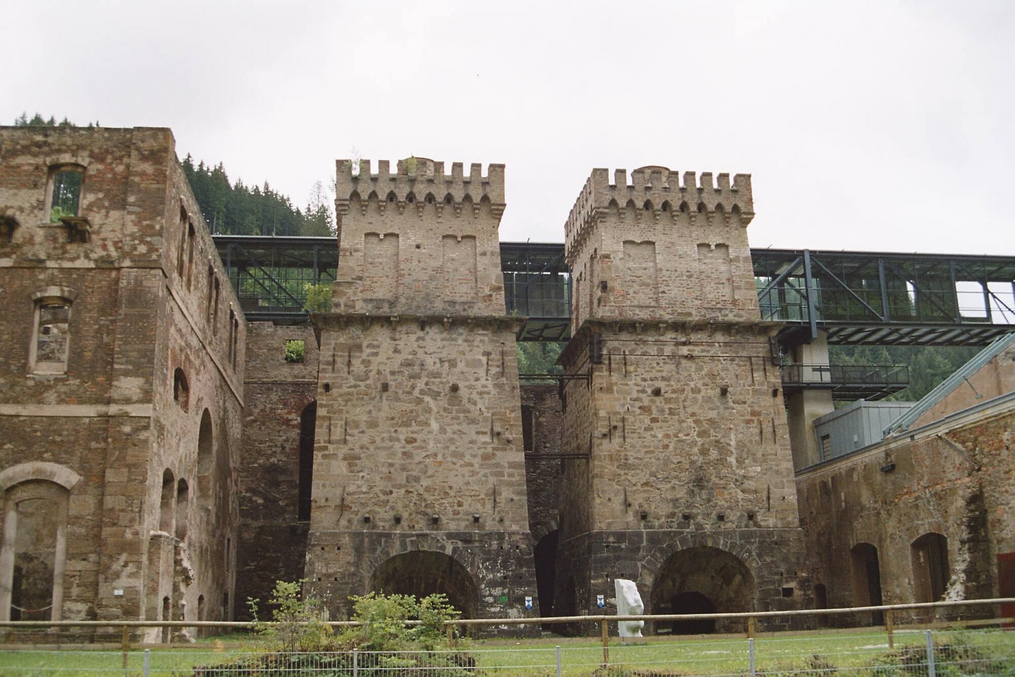

The route starts in Launsdorf, a quiet village near Hochosterwitz Castle. From here, the route leads on well-paved roads to Passering, with gentle climbs to warm up.
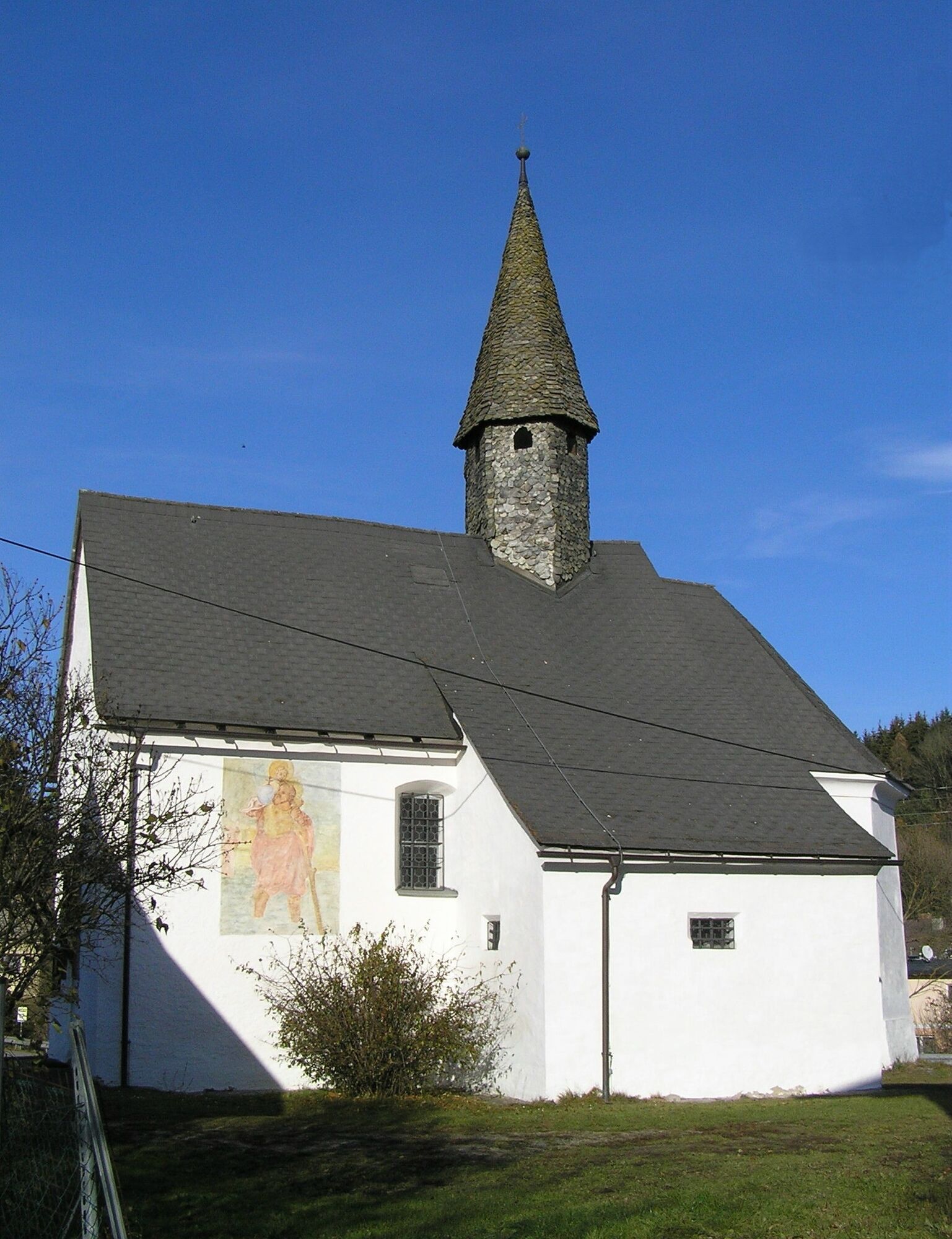
The ride towards Guttaring passes through gently hilly terrain. The roads have little traffic, and the surrounding landscape of meadows and forests provides a relaxed riding experience. Light inclines alternate with flat sections.
From Guttaring, the route becomes more challenging. The climb to Hüttenberg leads through the scenic Görtschitz Valley. Endurance and good fitness are required here.
After the village of Hüttenberg, known for its mining history, follows a longer fast section to Heft.
comfortable clothing, suitable bike, provisions, enough water
pay attention to the weather; tell someone where you are going and when you will be back; keep your phone charged; watch out for local traffic rules and occasional agricultural vehicles on the roads
use your route planner:
from the north: via Leoben – Judenburg – Neumarkt – St. Veit an der Glan
from the east: via Völkermarkt – Klagenfurt – St. Veit an der Glan
from the south: via Klagenfurt – St. Veit an der Glan
from the west: via Villach – Klagenfurt – St. Veit an der Glan
Arrival by train: stop Launsdorf (bike transport possible, bike reservations required, details at: www.oebb.at
ÖBB timetable information: https://fahrplan.oebb.at/webapp/#!P|TP!H|704158
there are plenty of parking spaces
2
Slow Food businesses
Open-air museum Heft
Získejte přehled
Vždy živě na místě s více než 9 500 webkamerami. bergfex Jako uživatel Pro si nyní můžete zobrazit odpovídající webové kamery pro mnoho prohlídek v aplikaci prohlídky z. Můžete si tak přímo prohlédnout aktuální podmínky.
Oblíbené prohlídky v okolí
-
4.5
Klippitztörl - Geierkogel loop trail no. G
středníTuristika 6.79 km -
4.8
Steinerhütte-kl.+gr. Sauofen zum Gertrusk und zurück
světloTuristika 15.0 km -
3.7
Kunstwanderweg rund um den Längsee (1)
světloTuristika 5.43 km -
4.1
Vom Klippitztörl auf die Forstalm mit Geierkogel und Steinerner Hochzeit.
středníTuristika 10.5 km -
4.3
Certified hiking trail: Guttaring - Mariahilferweg - permanent IVV hiking trail
středníTuristika 11.2 km -
5.0
Weißbergerhütte - Gertrusk - Ladingerspitz
středníTuristika 8.95 km -
4.8
Winter sun on the Saualm
světloSněžnice 4.70 km -
4.7
Klippitztörl: Tour 6 - Geierkogeltour
středníSněžnice 6.80 km -
4.6
Saualpe: Hut route - circular hike
středníTuristika 15.3 km -
4.2
Saualpen ridge – Speikkogel, Großer and Kleiner Sauofen
středníTuristika 10.8 km
Pěší turistika a stopování


Nenechte si ujít nabídky a inspiraci pro vaši příští dovolenou
Vaše e-mailová adresa byl přidán do poštovního seznamu.





