







Three countries route from Lake Wörthersee (short version)
Úroveň obtížnosti: 4
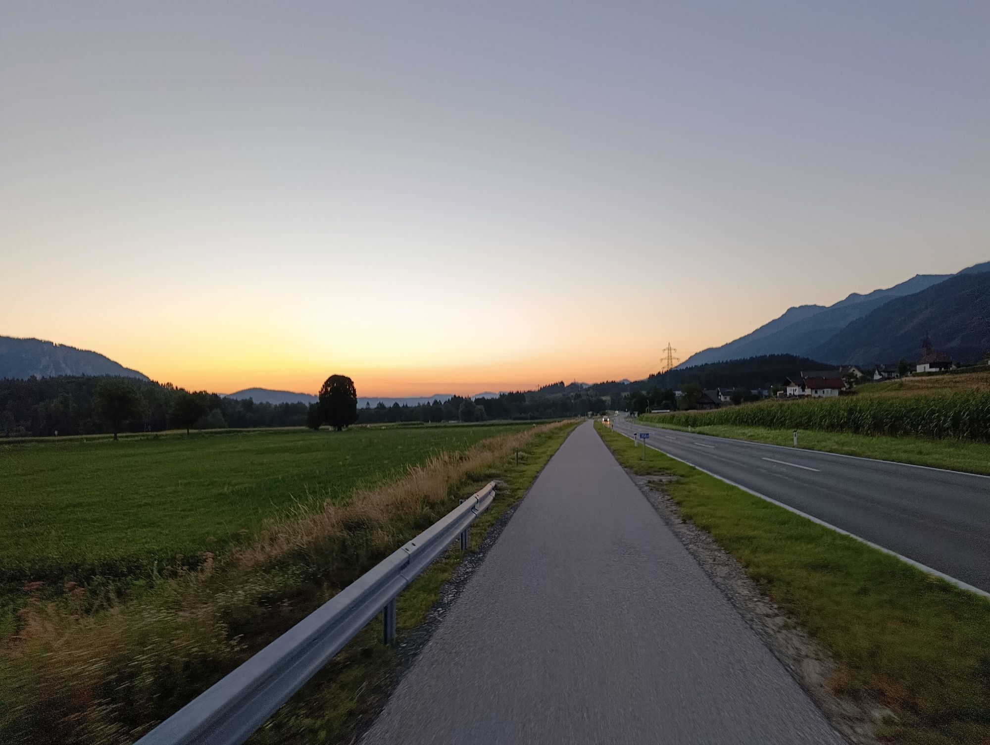
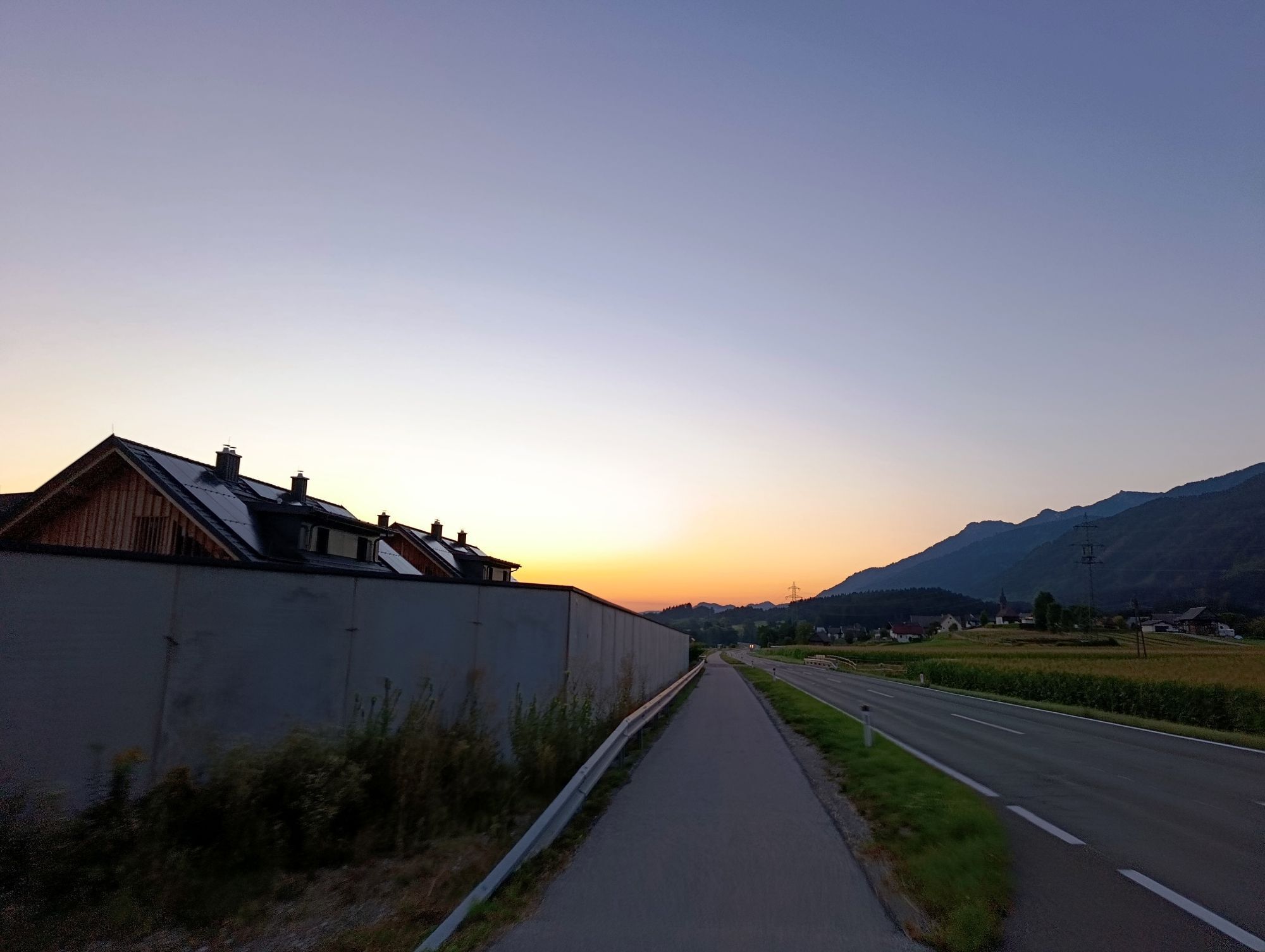
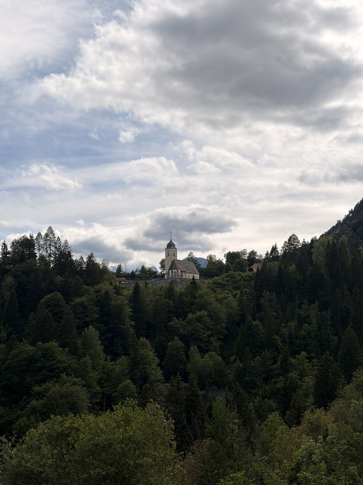
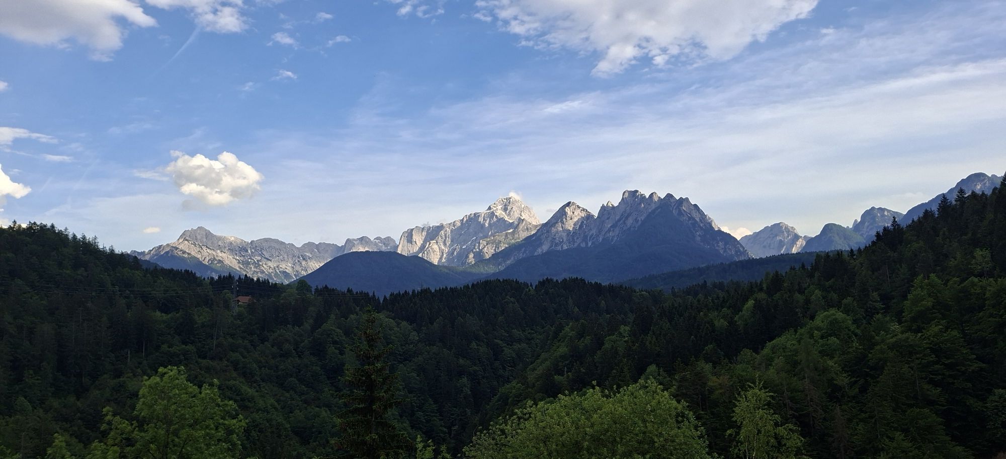
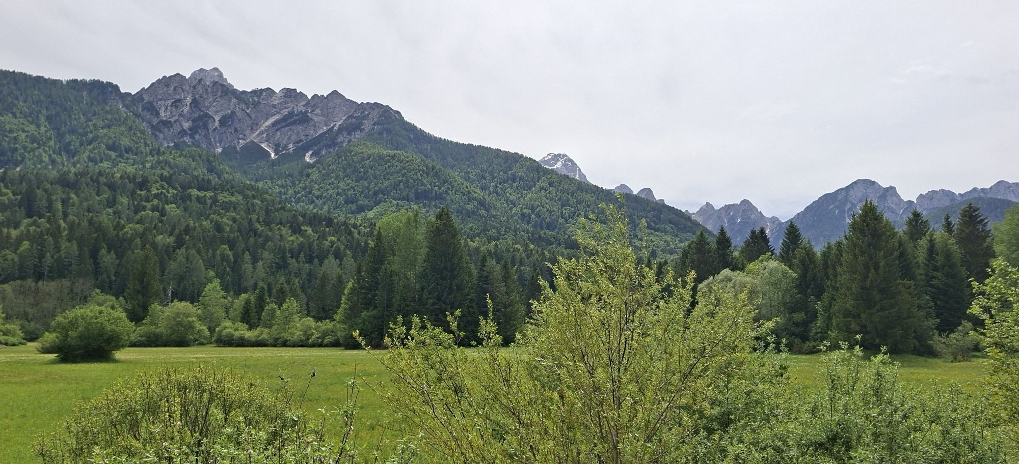
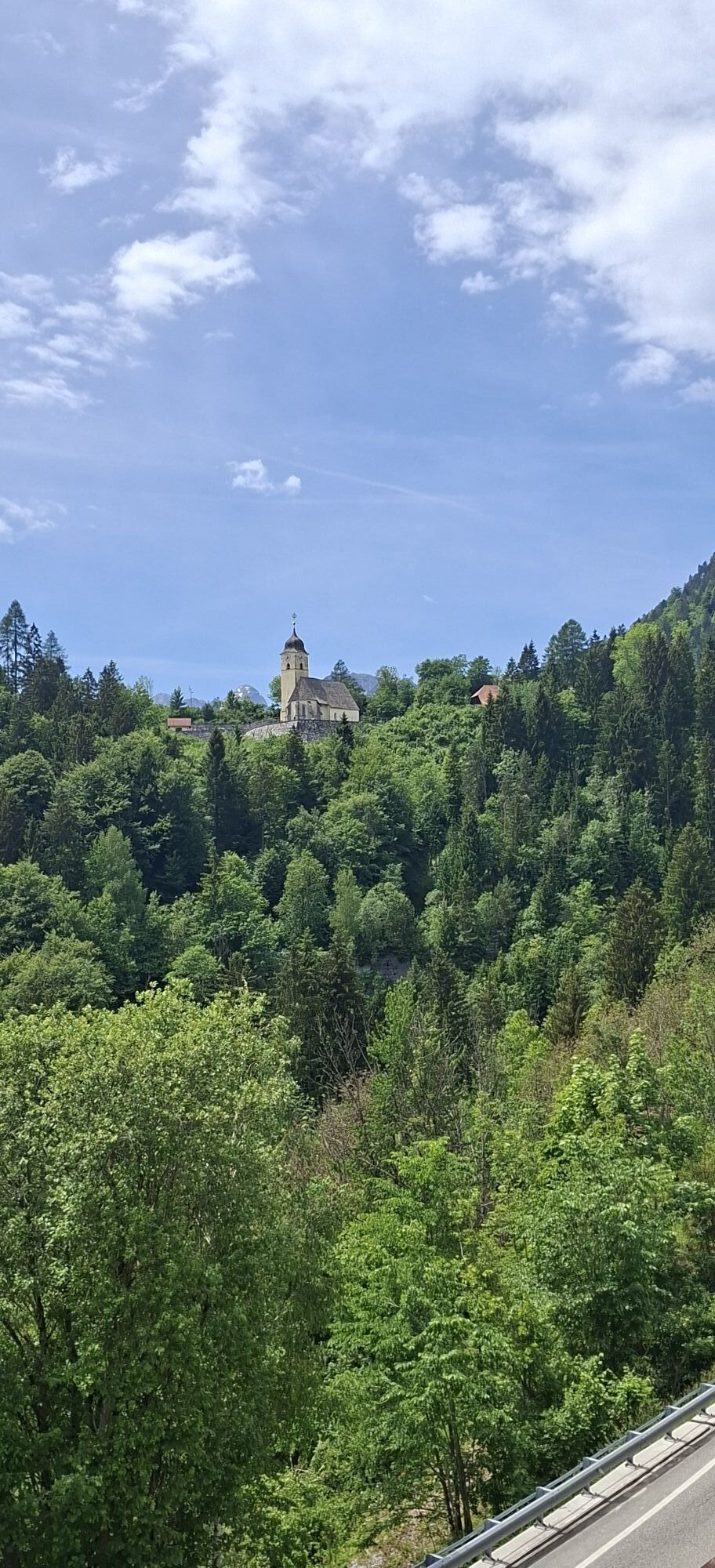
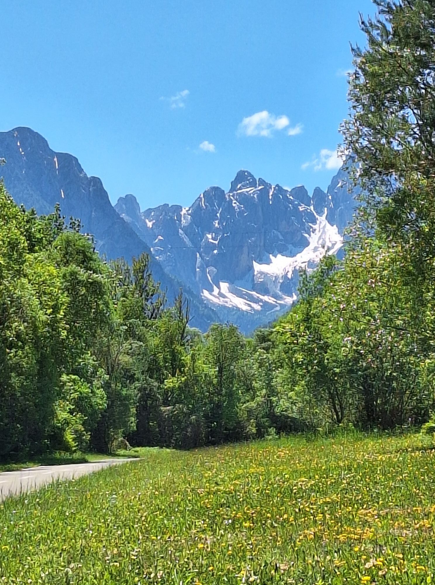
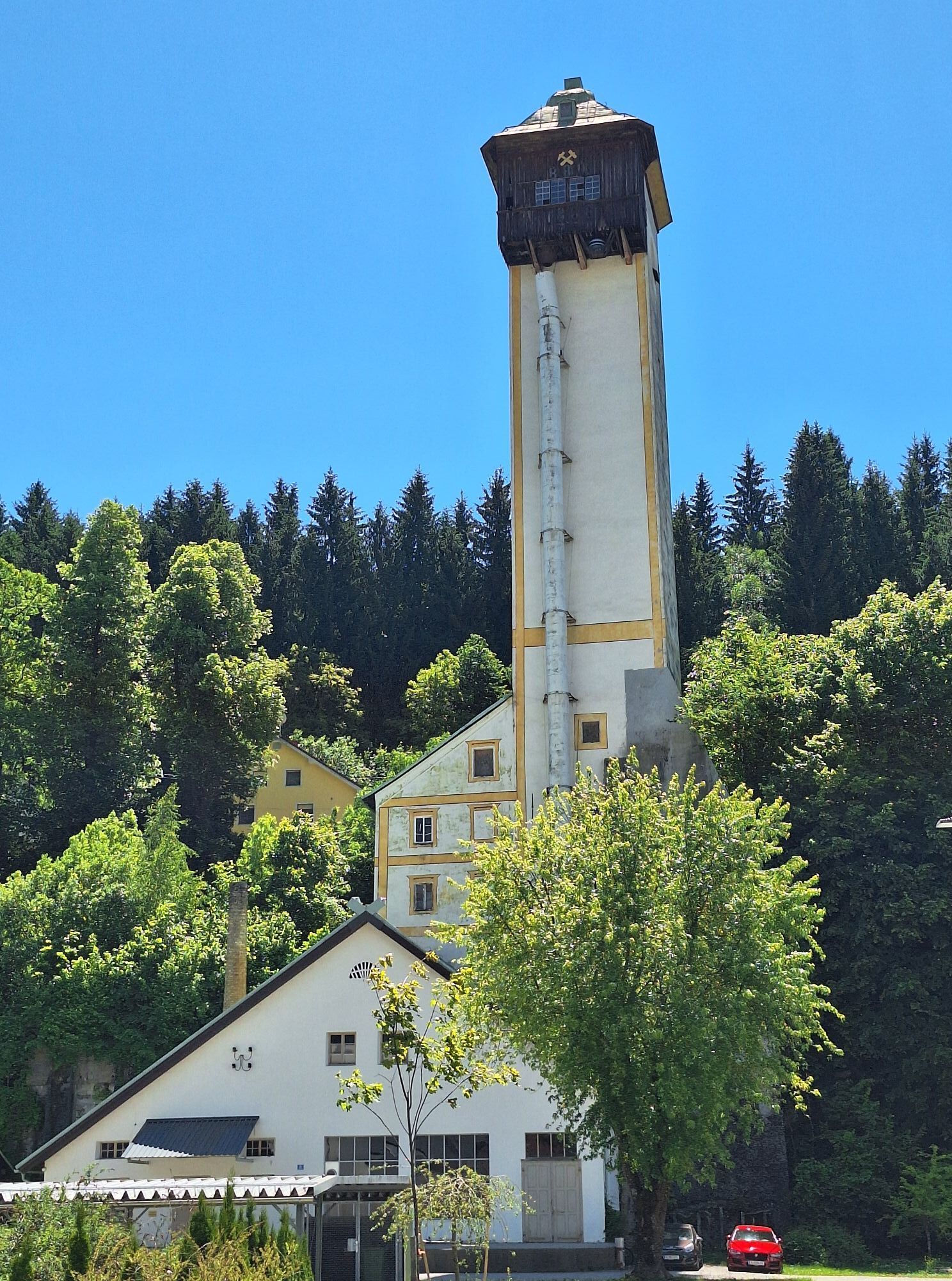
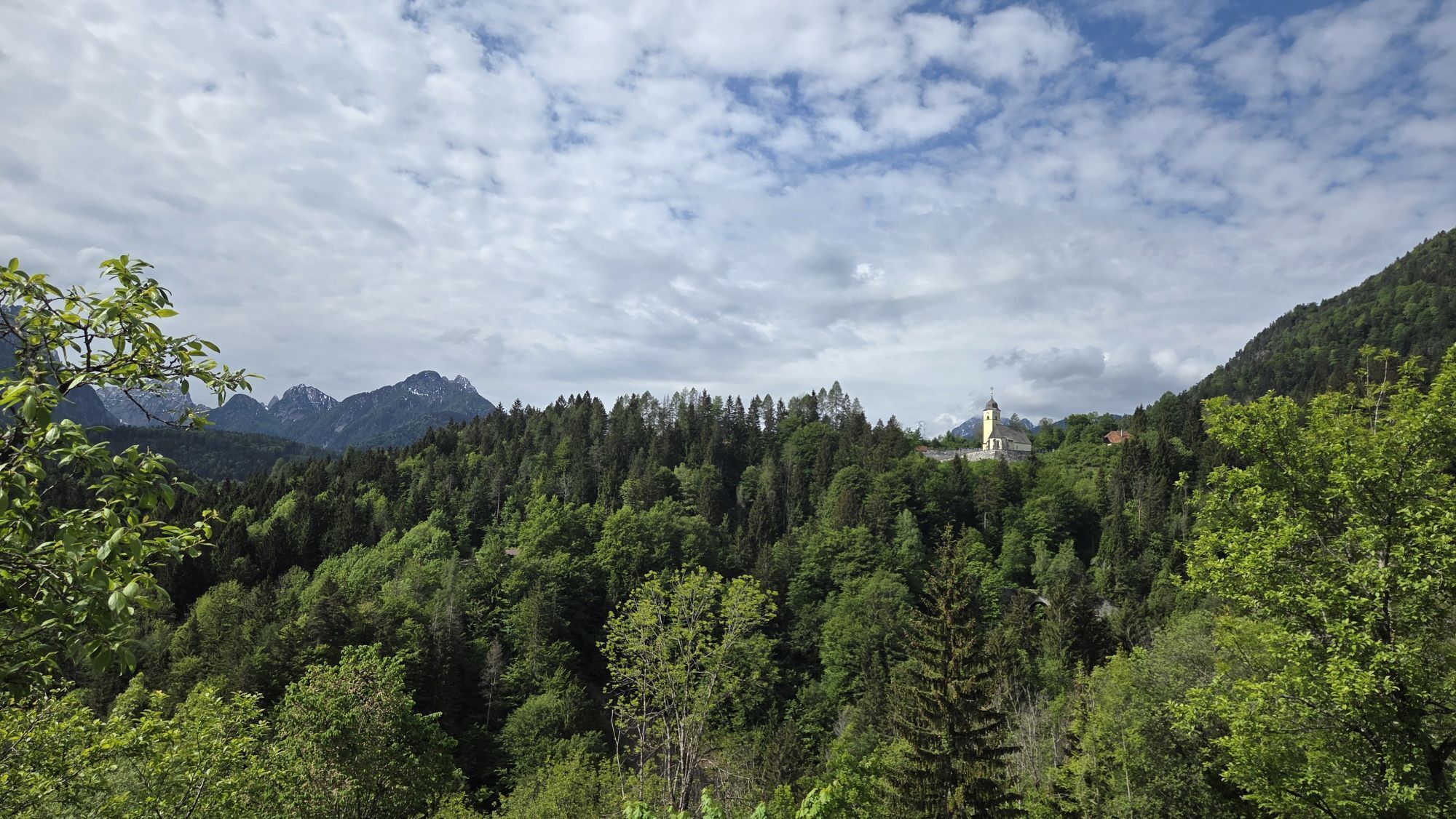
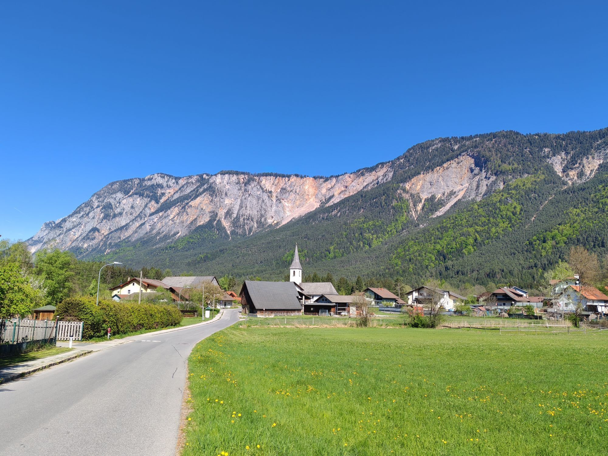
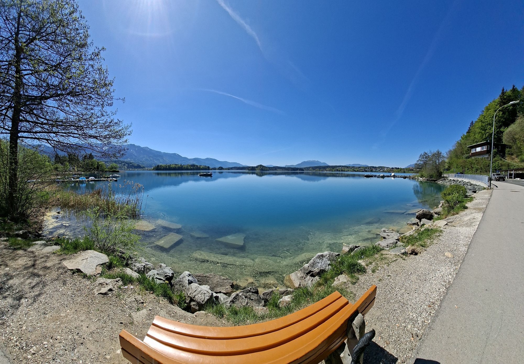
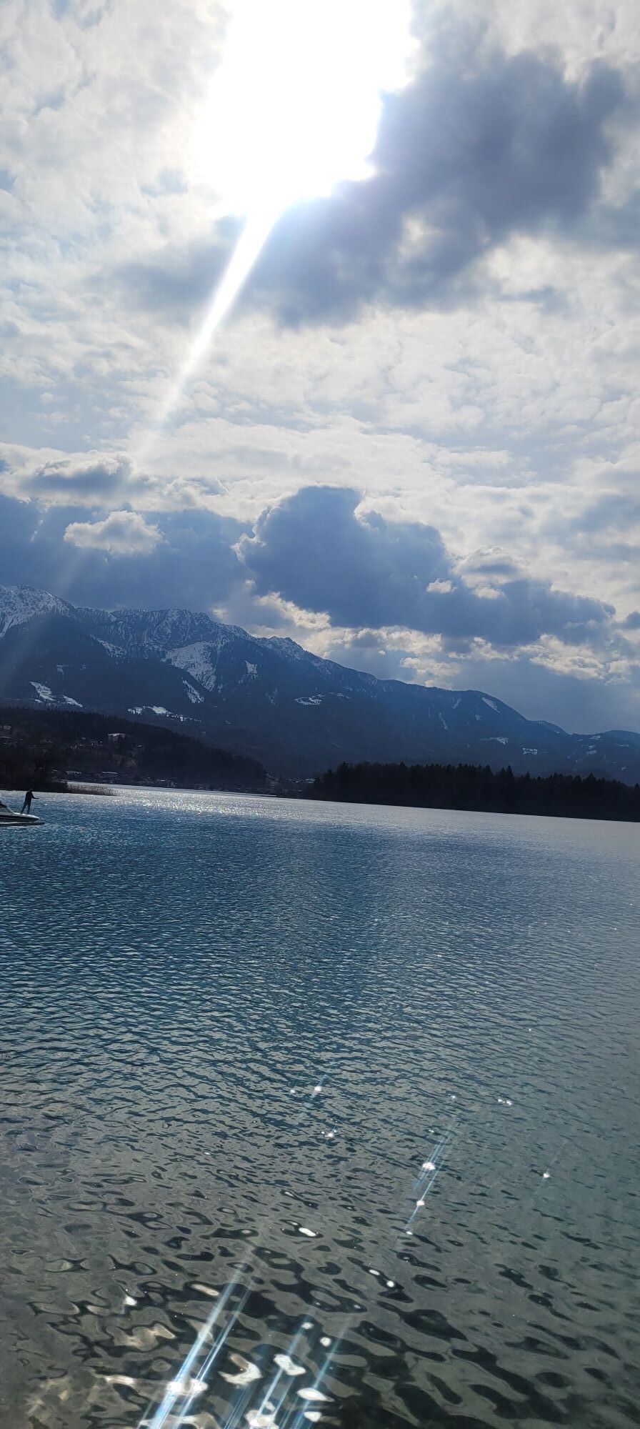
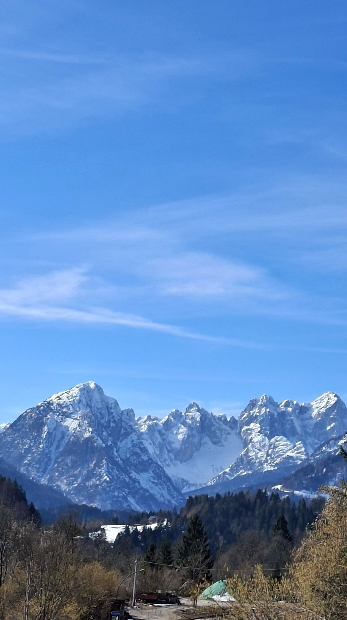
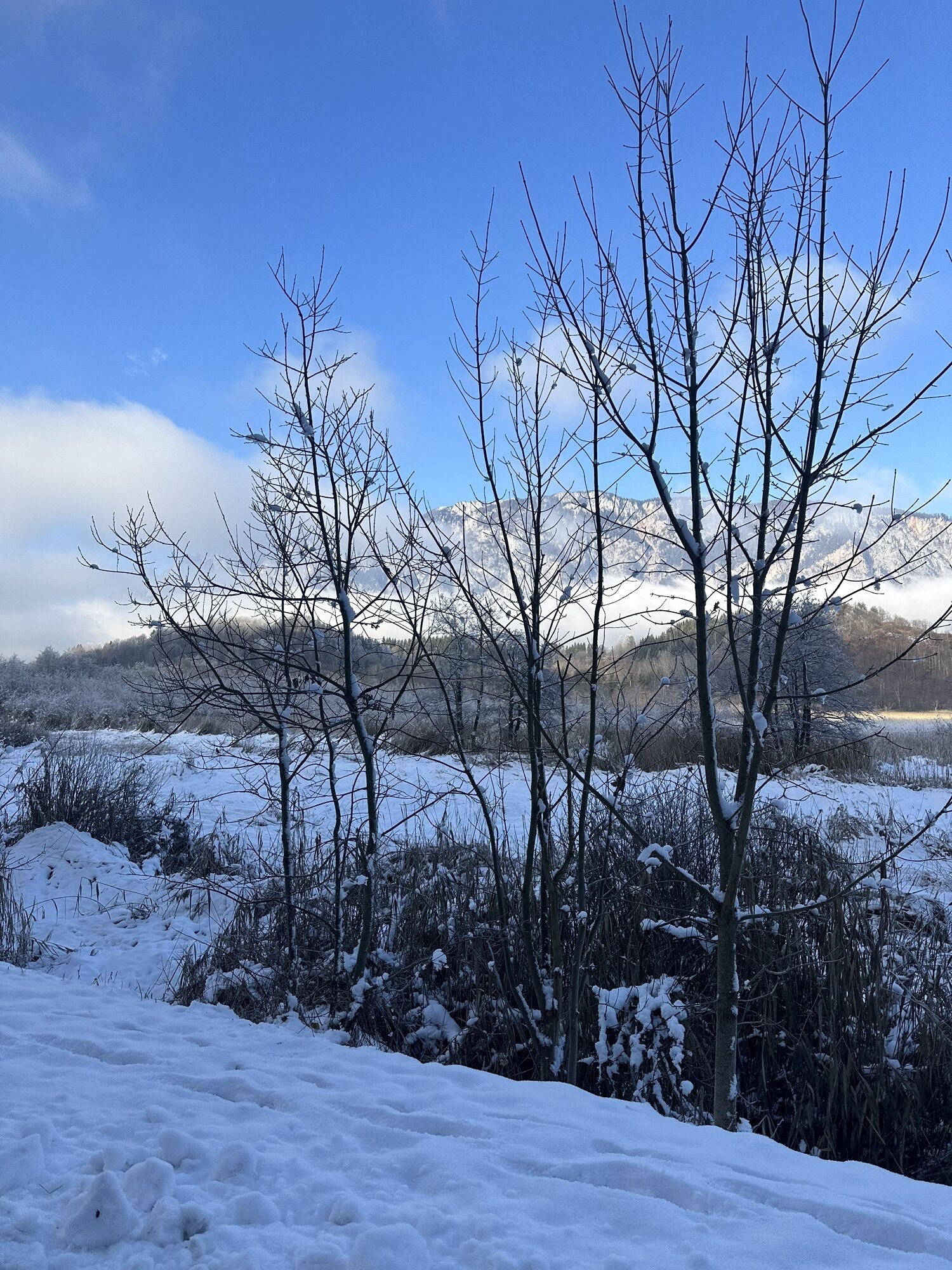
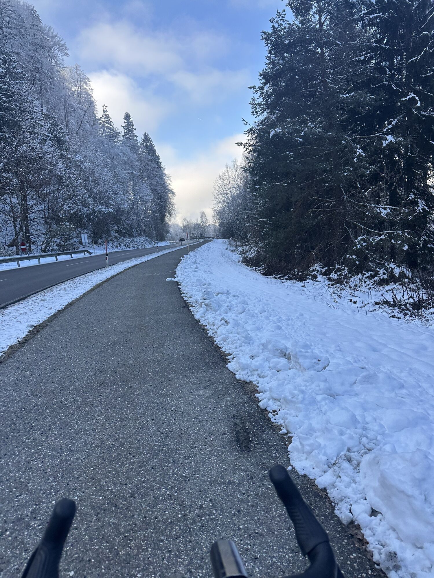
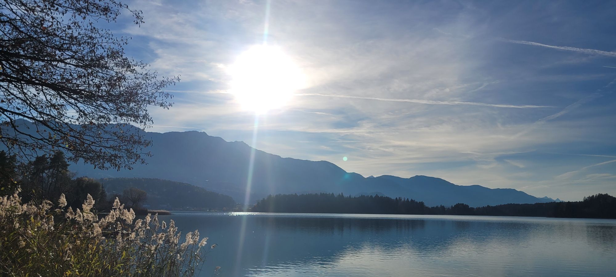
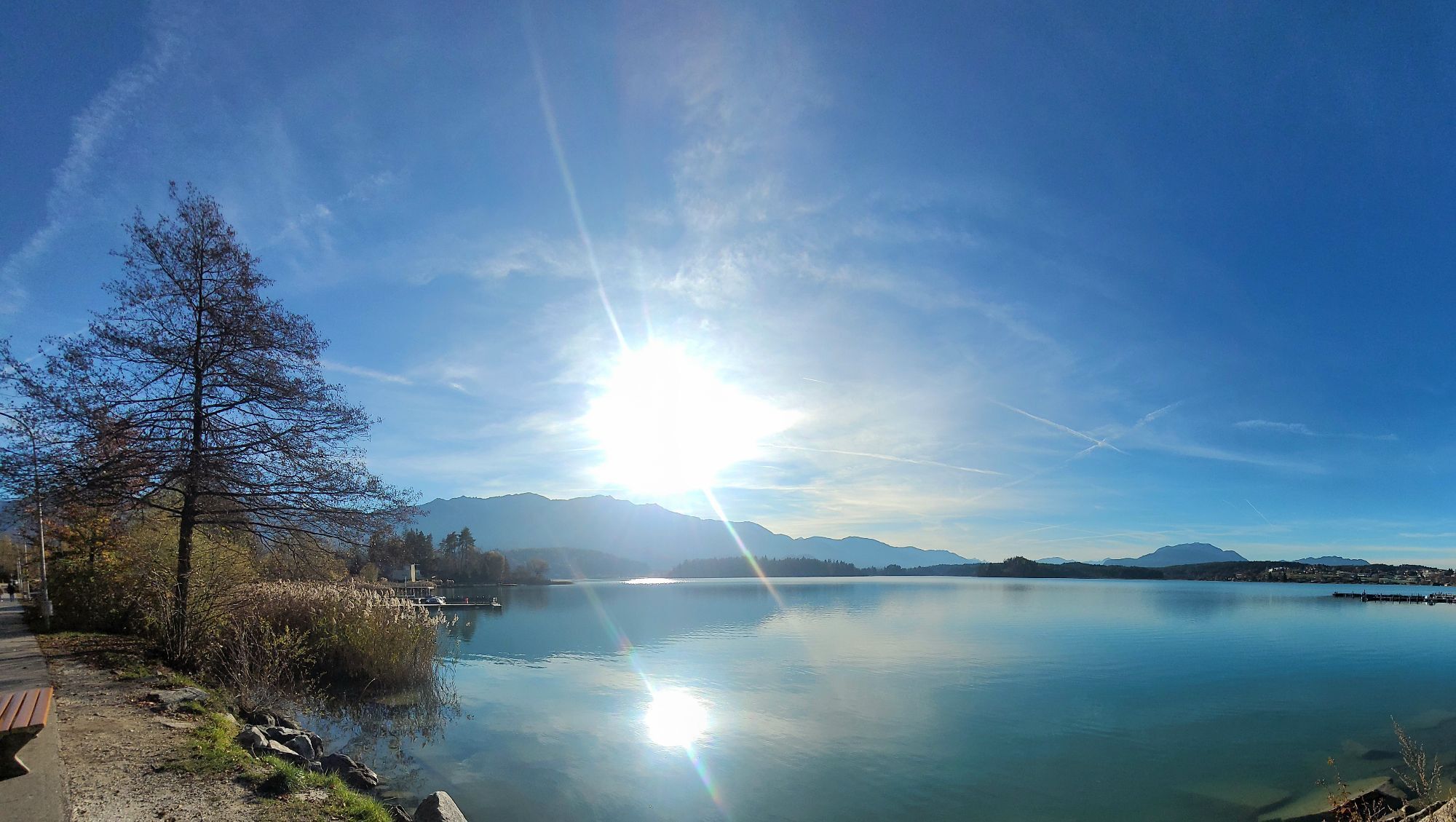
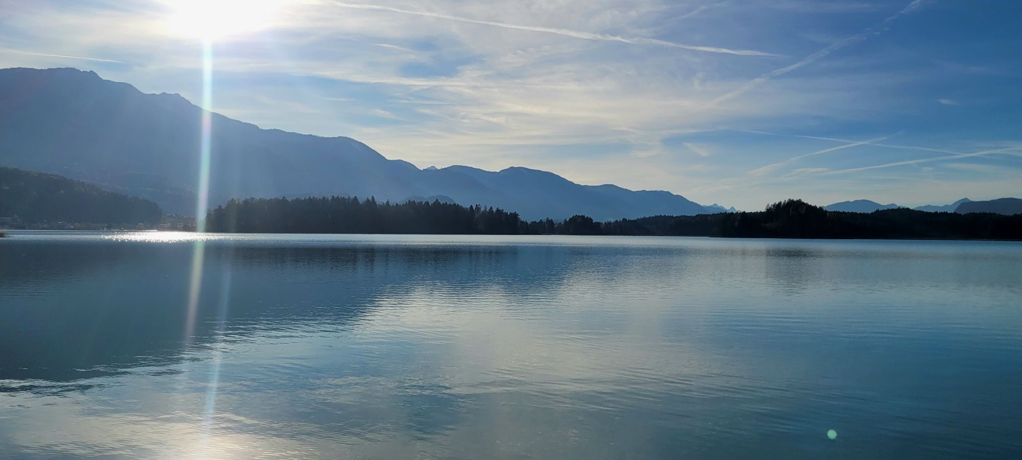

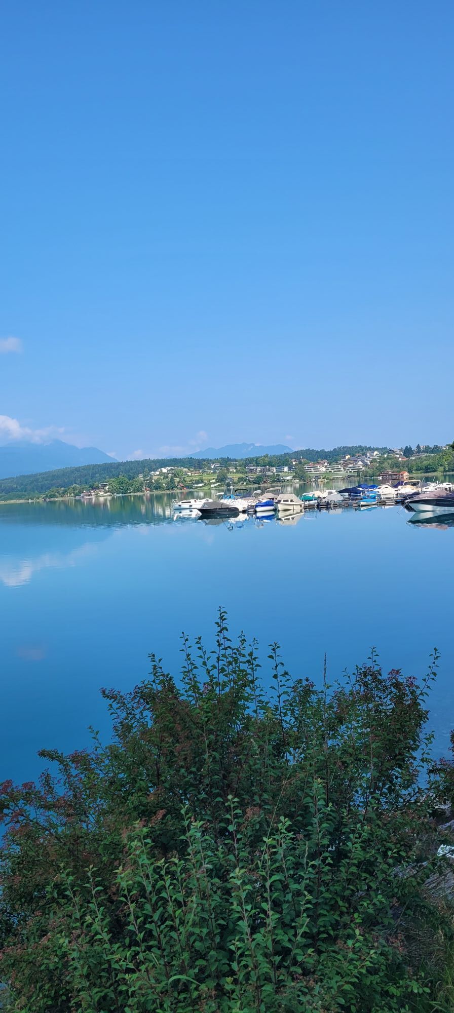
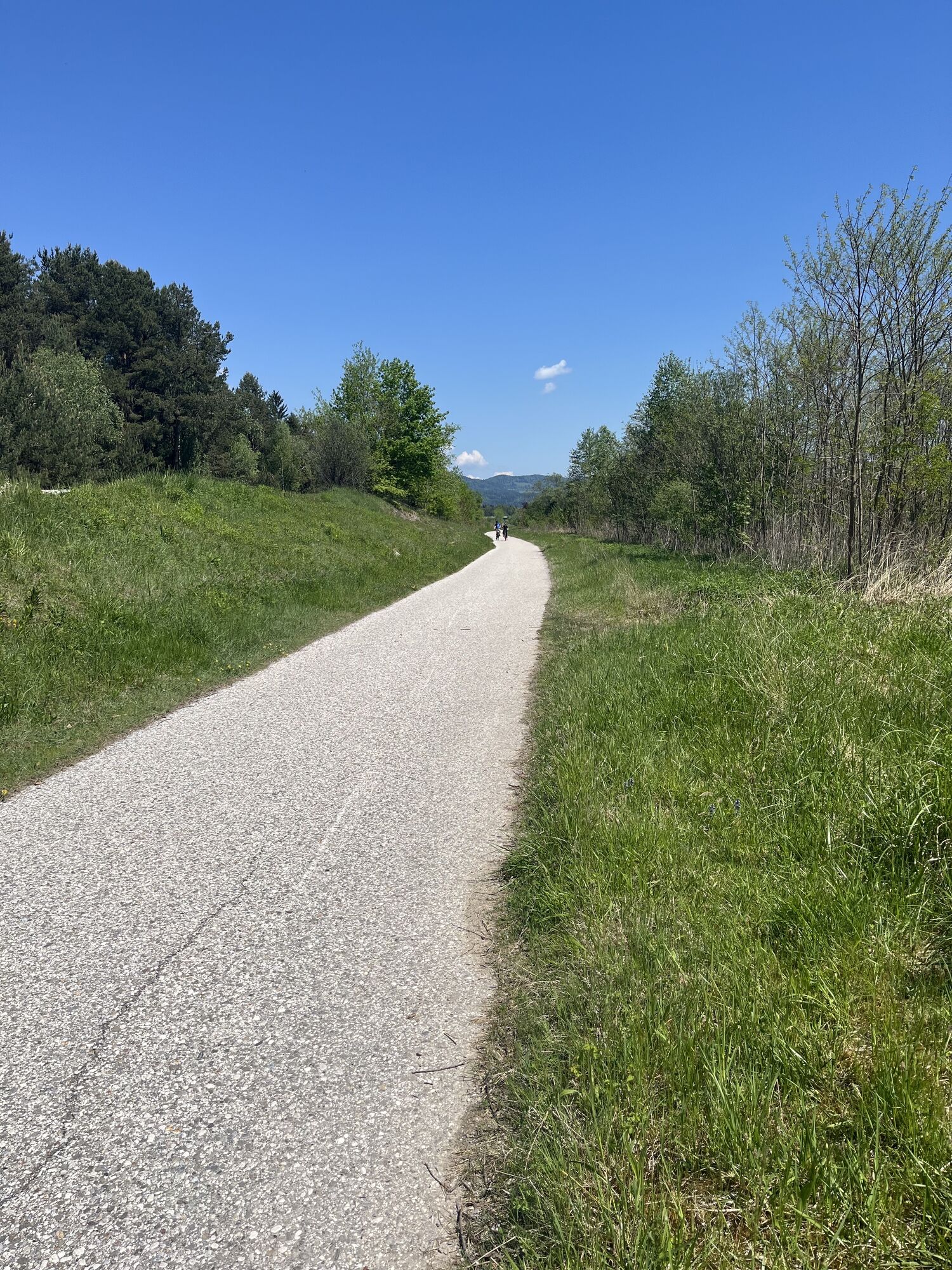
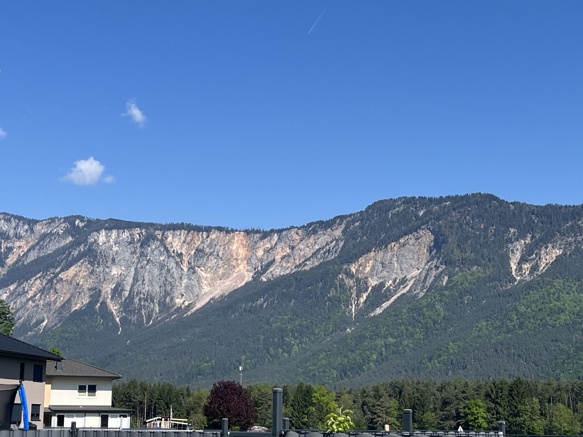
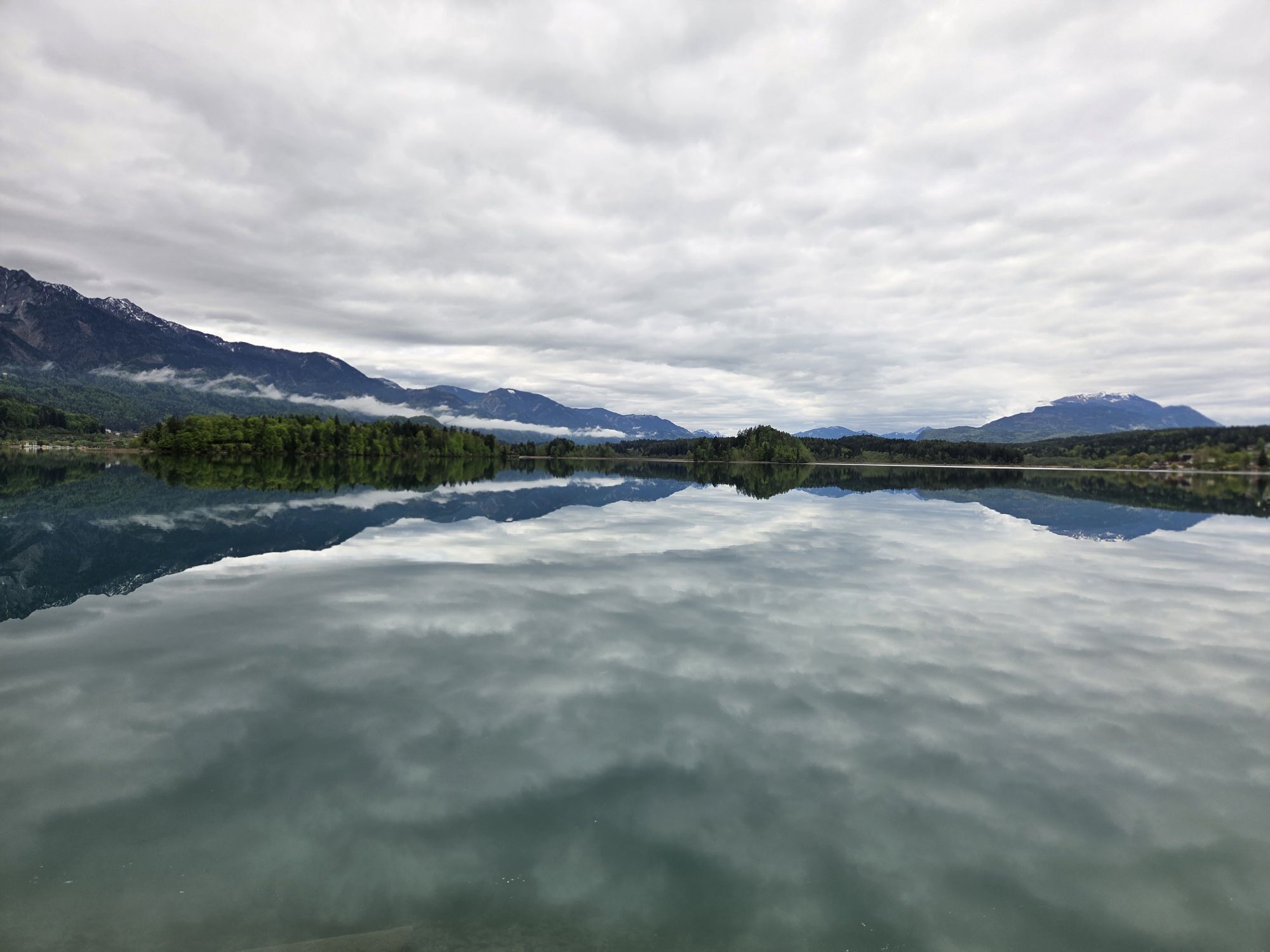
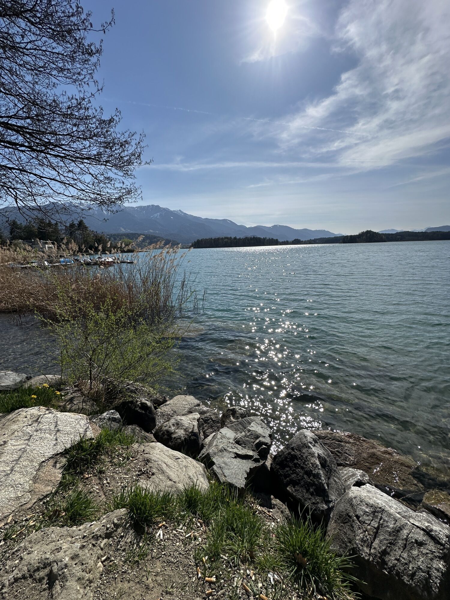

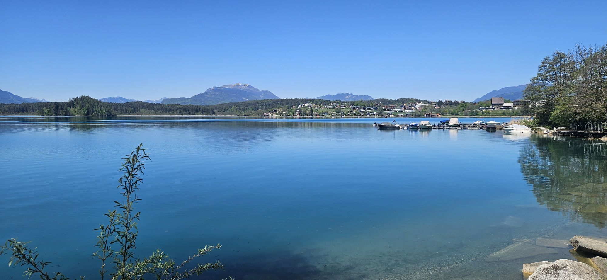
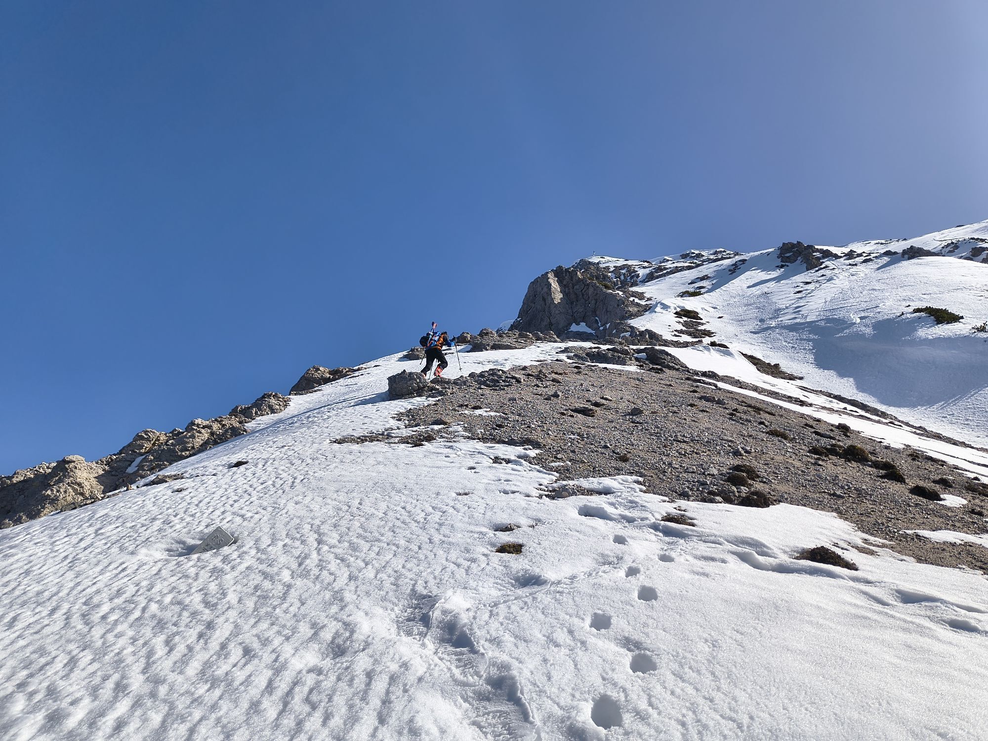
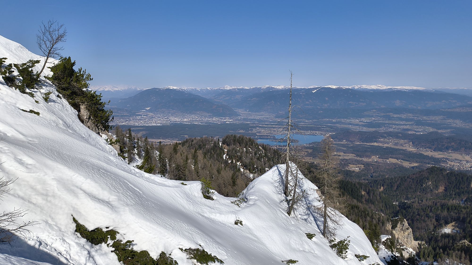
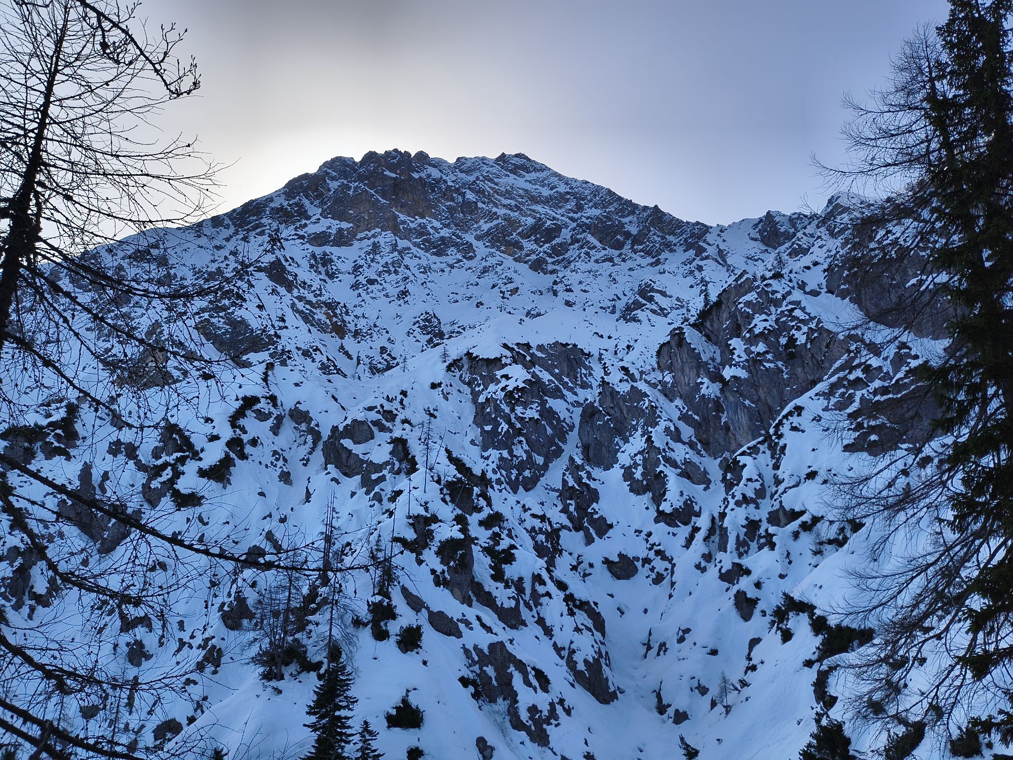
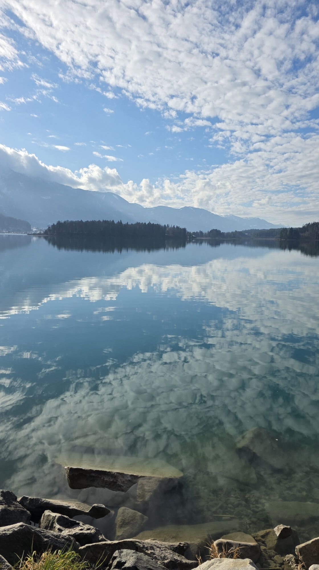
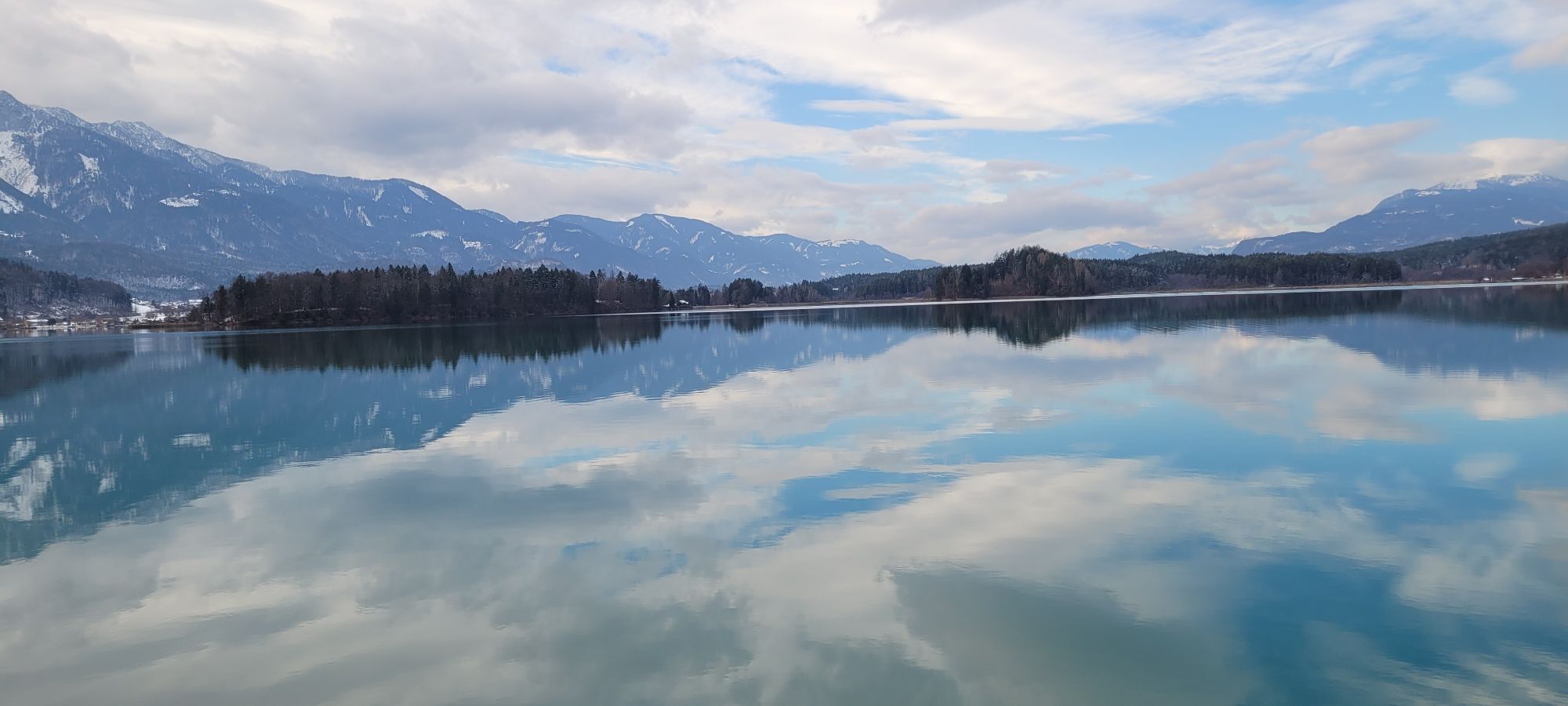
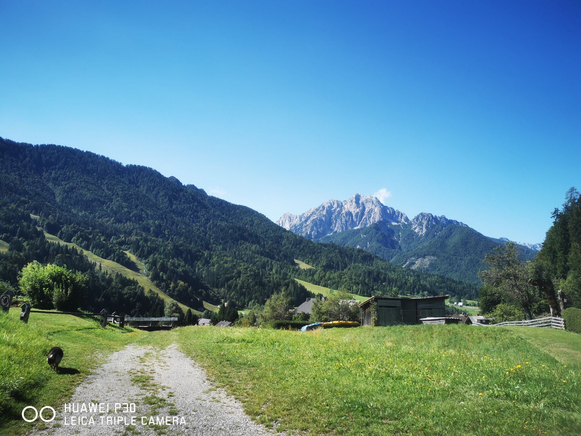
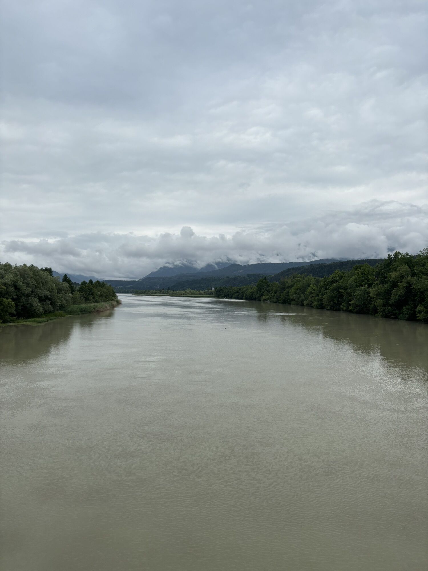
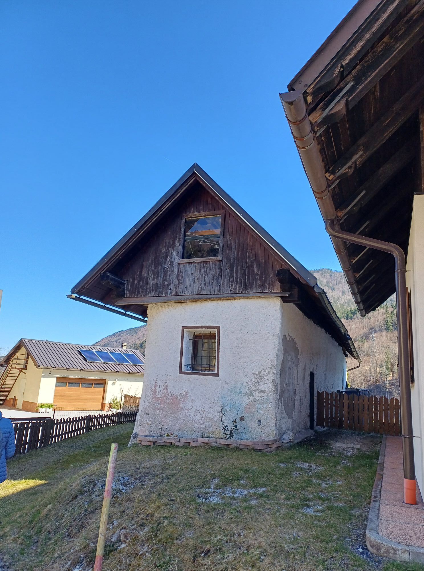
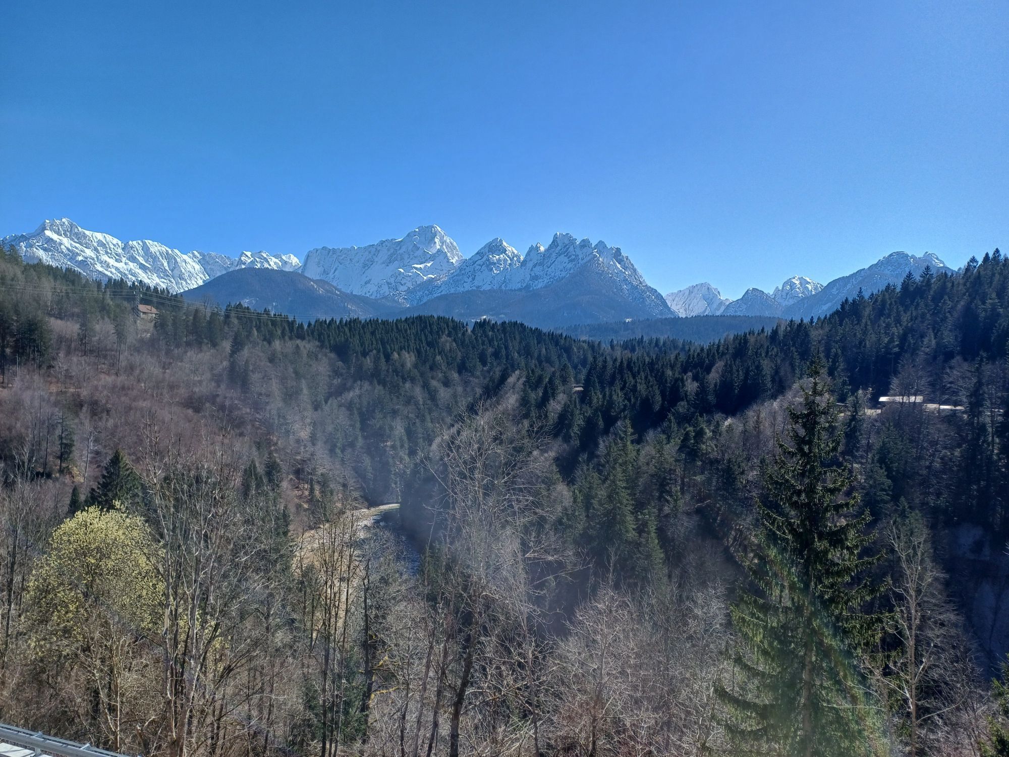
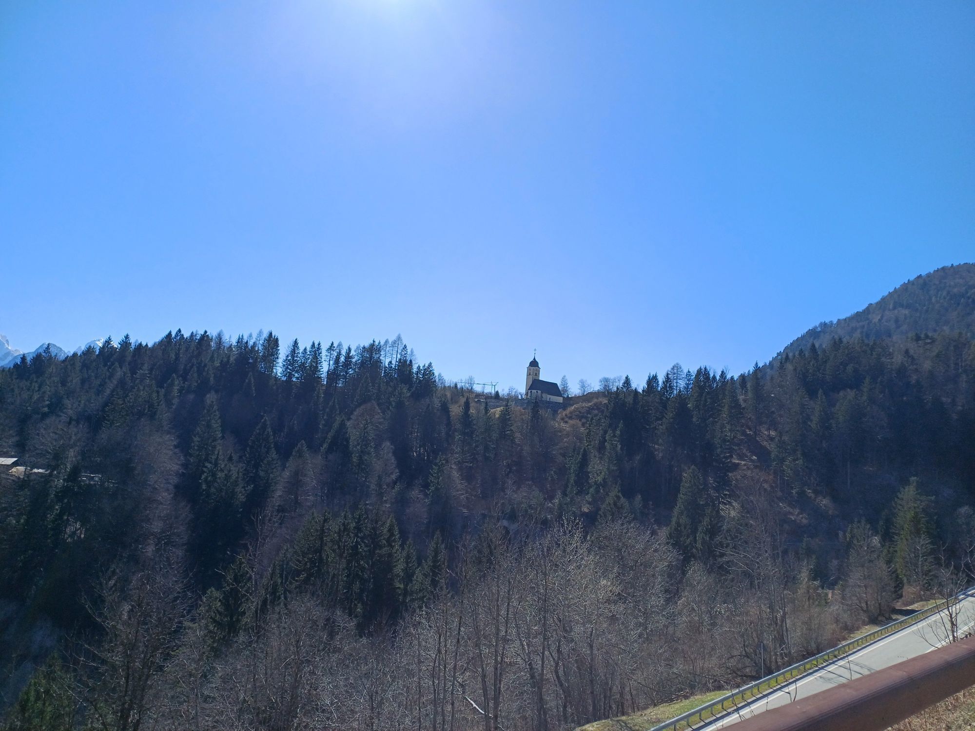
From Velden on Lake Wörthersee, the route runs along the B83 via Wernberg to the outskirts of Villach. Passing the Magdalenensee, the route takes you through the spa and thermal resort Villach-Warmbad....
From Velden on Lake Wörthersee, the route runs along the B83 via Wernberg to the outskirts of Villach. Passing the Magdalenensee, the route takes you through the spa and thermal resort Villach-Warmbad. From here, it steadily ascends through the Schütt nature park area to Arnoldstein, and after a few kilometers crosses the Austrian national border into Italy. Passing the border village of Coccau, you reach the town of Tarvisio after a short climb. Here, you should definitely take a break with a typical Italian coffee.
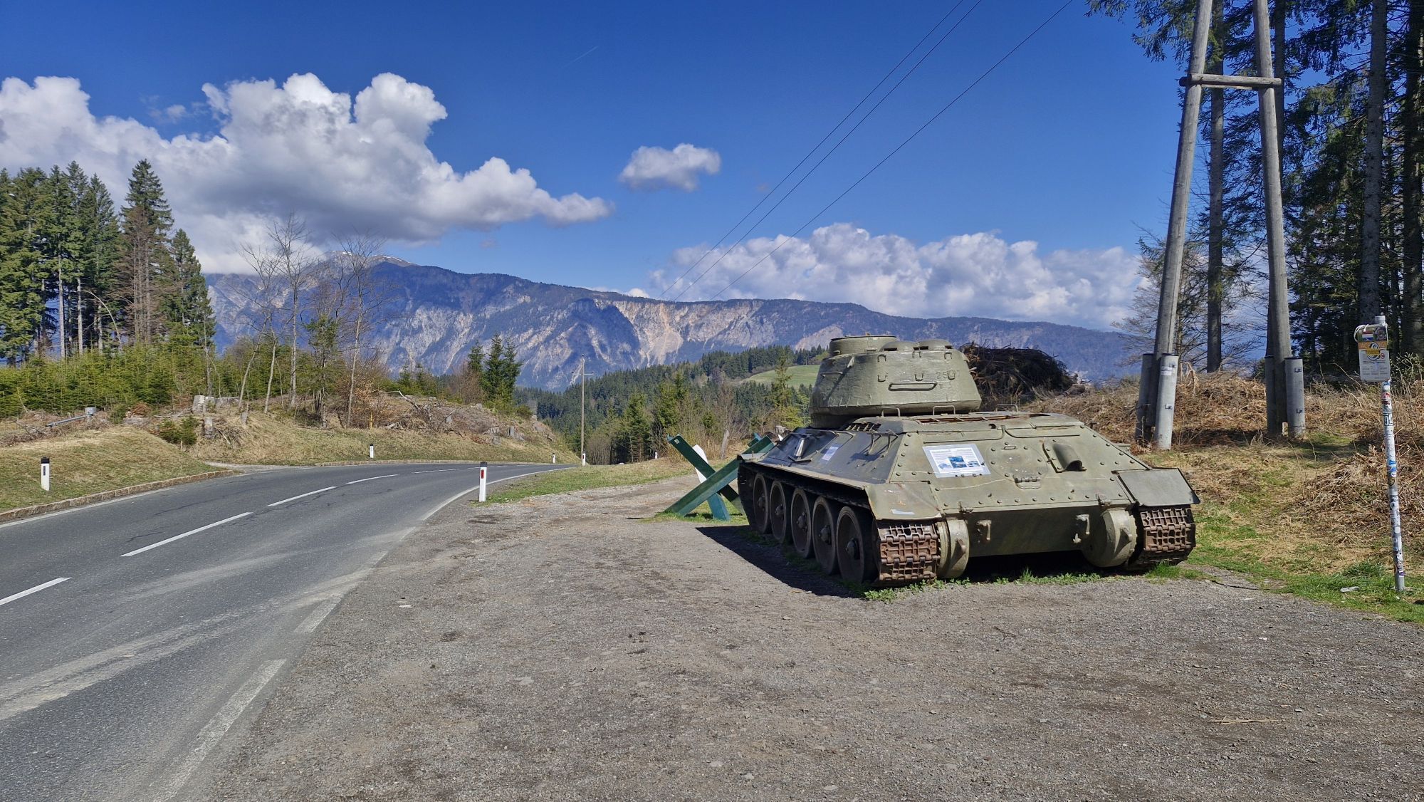
Along the Cyclovia Alpe-Adria (the Alpe Adria cycle path along the old railway line), the route goes back a little to the junction to Slovenia (towards Kranjska Gora). Here you can choose either the paved two-lane cycle path or the main road to the Slovenian border town of RateÄe. In between, you pass through Fusine in Valromana, from where a roughly 3 km detour leads to the crystal-clear mountain lakes. In Slovenia, the route goes from Podkoren up to the Wurzenpass. With a moderate ascent and a short steep ramp, you reach the highest point of the route before descending with gradients of up to 20% towards Lake Faak.
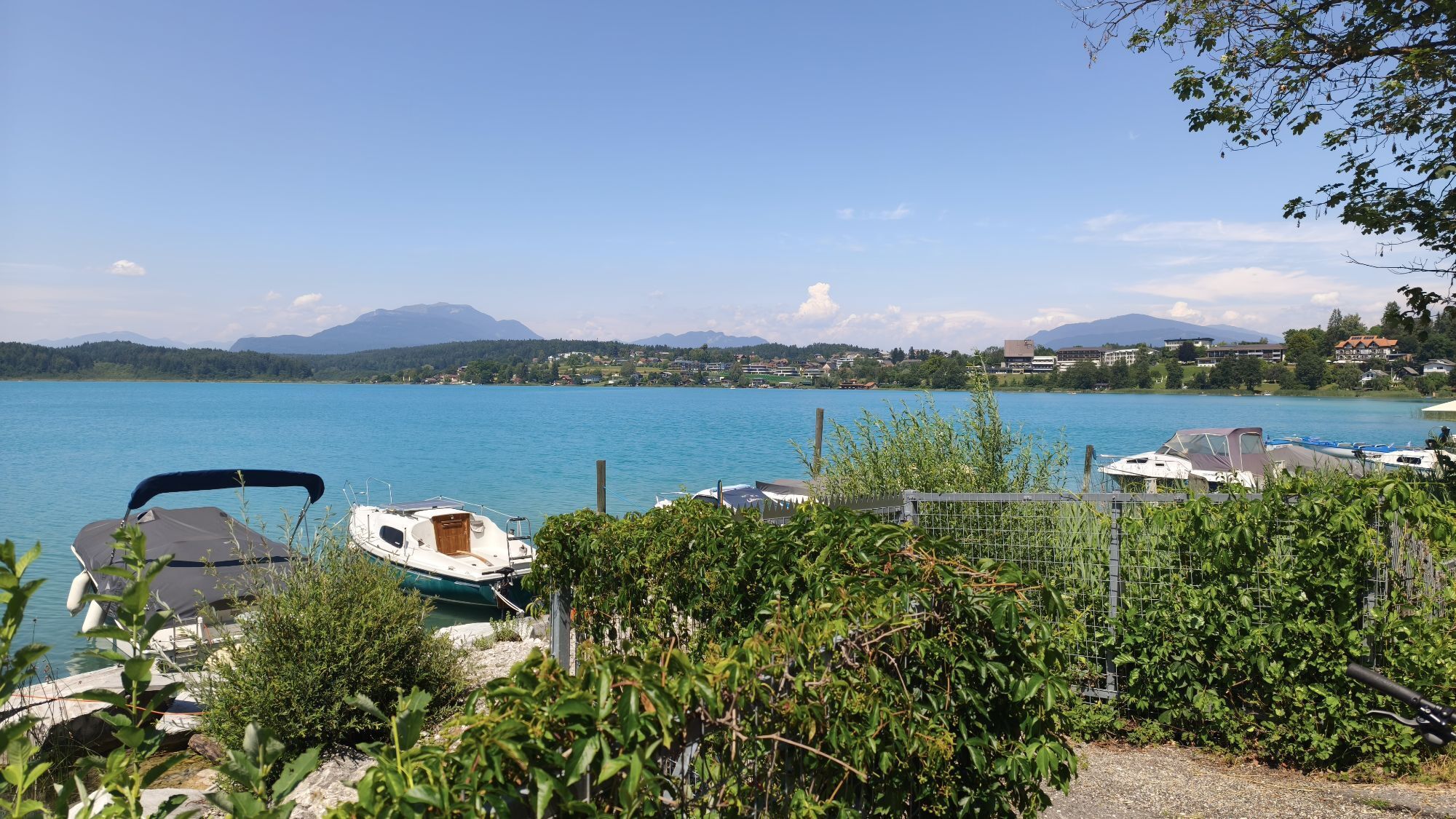
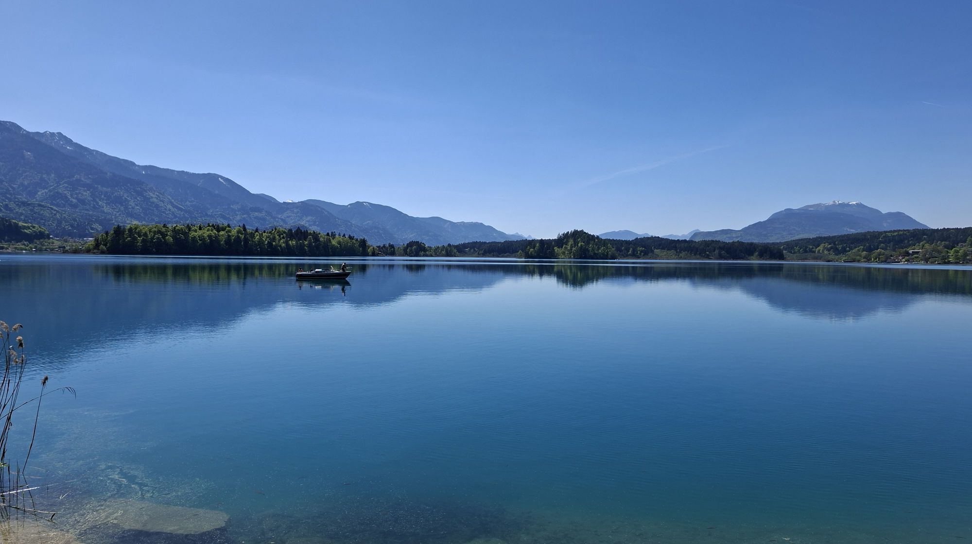
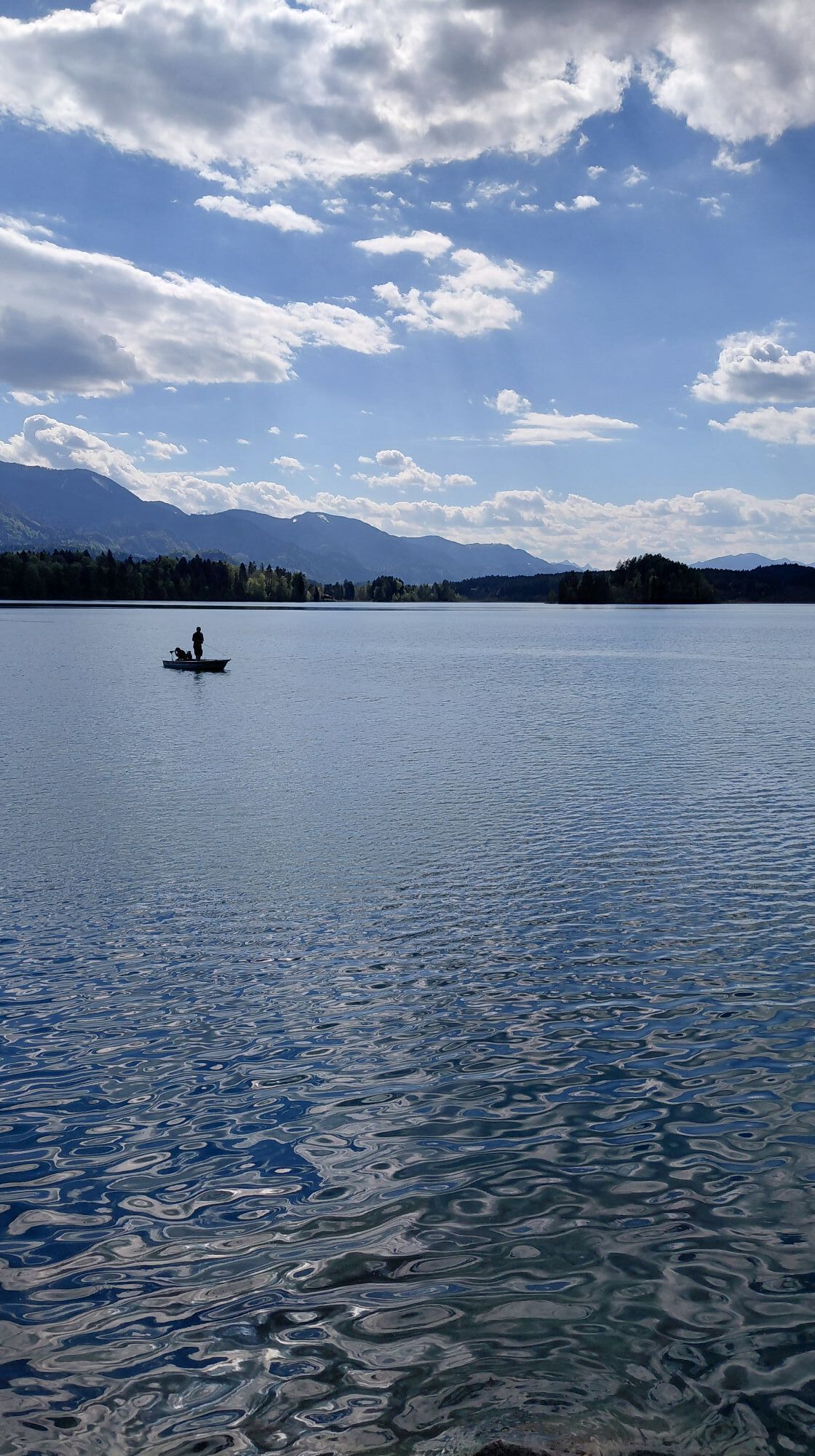
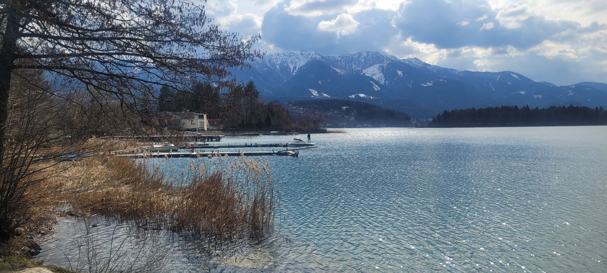
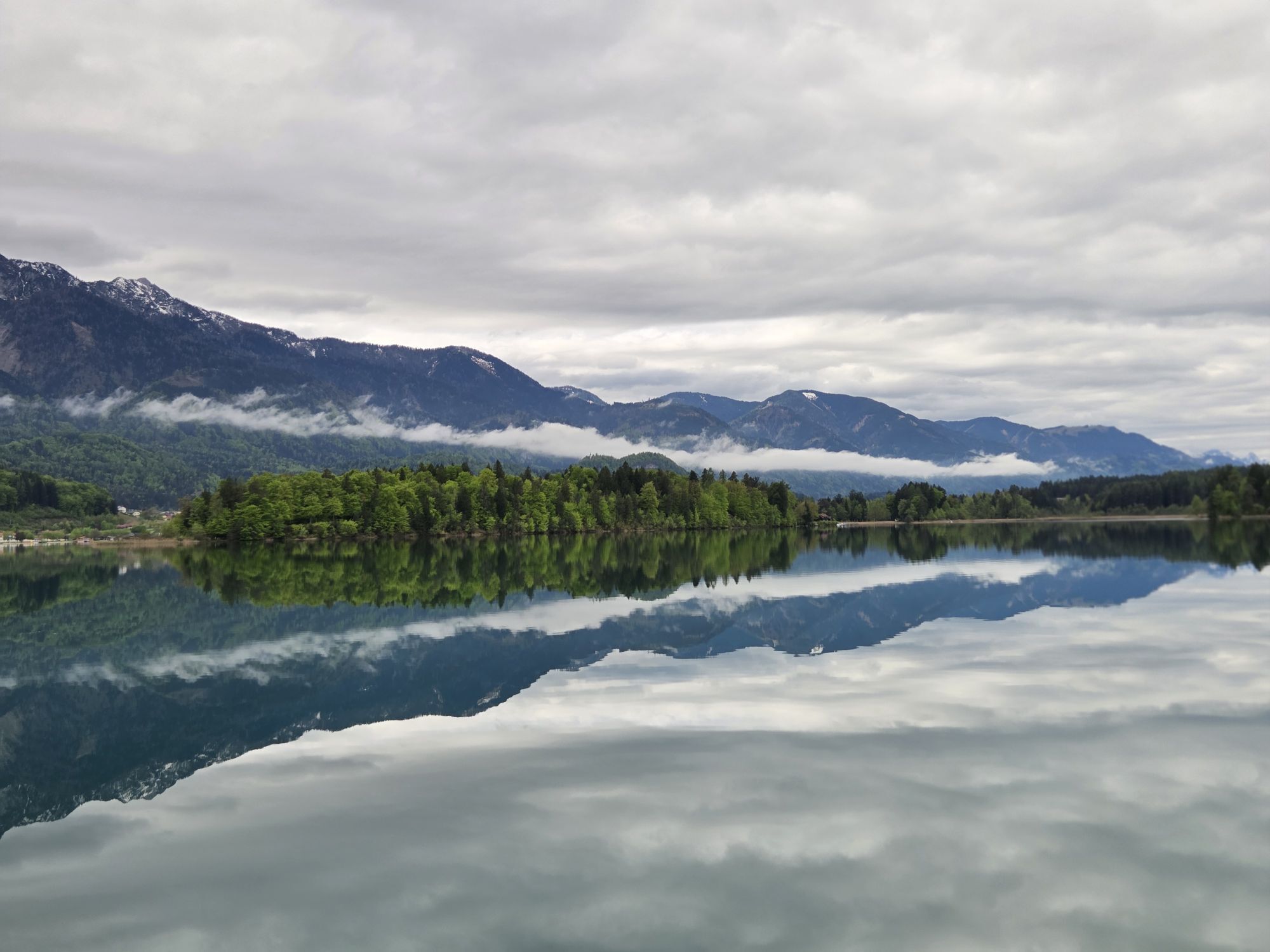
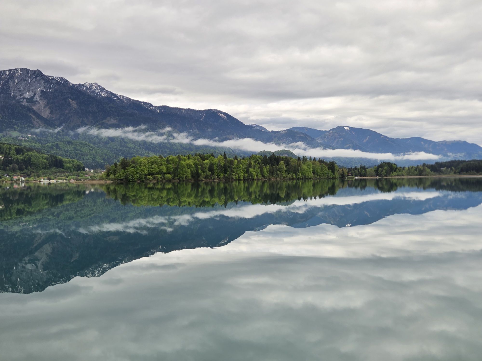
You skirt the impressively turquoise Lake Faak on the east side, where you now head – in the opposite direction of the Ironman Austria course – back towards Selpritsch via Rosegg and finally to Velden.
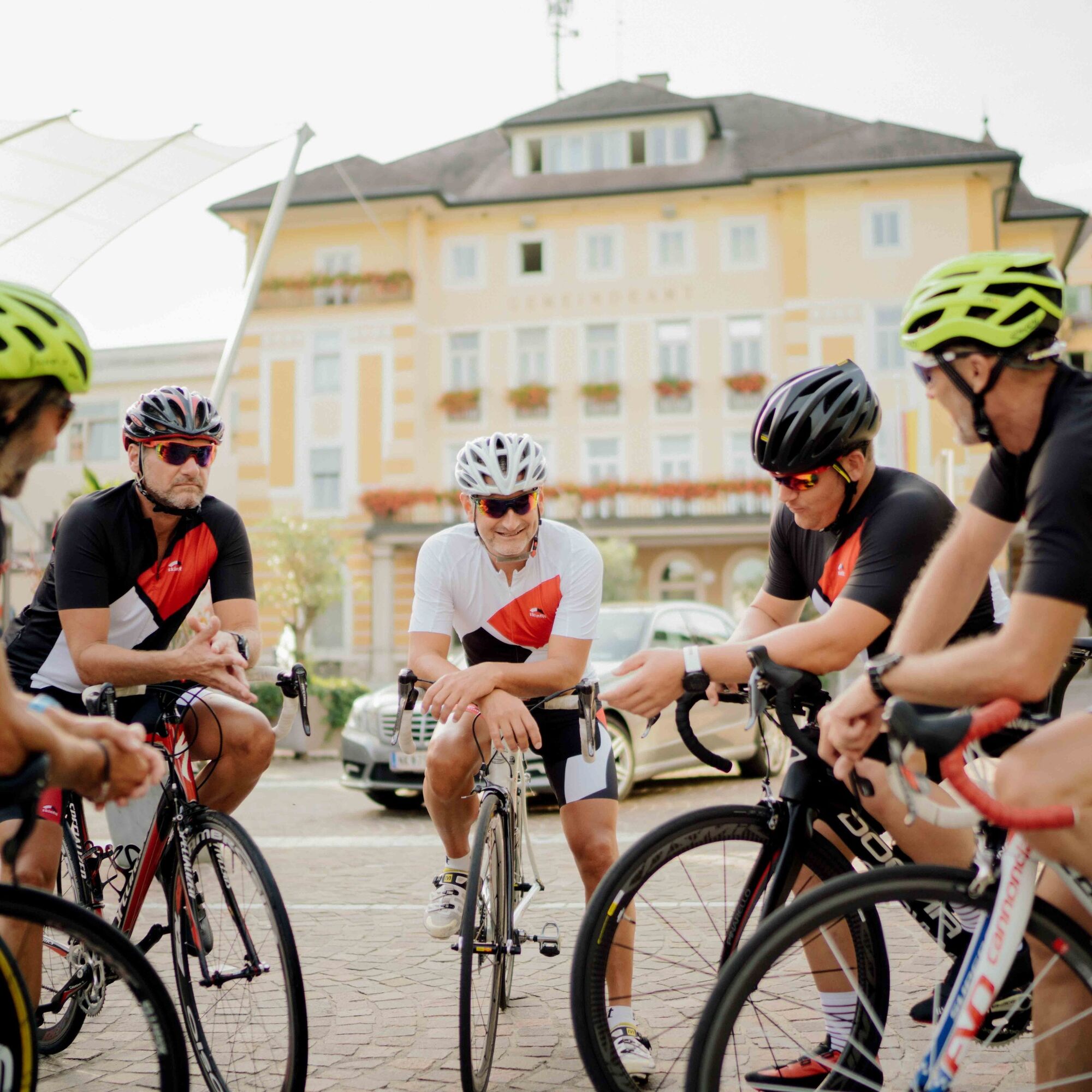
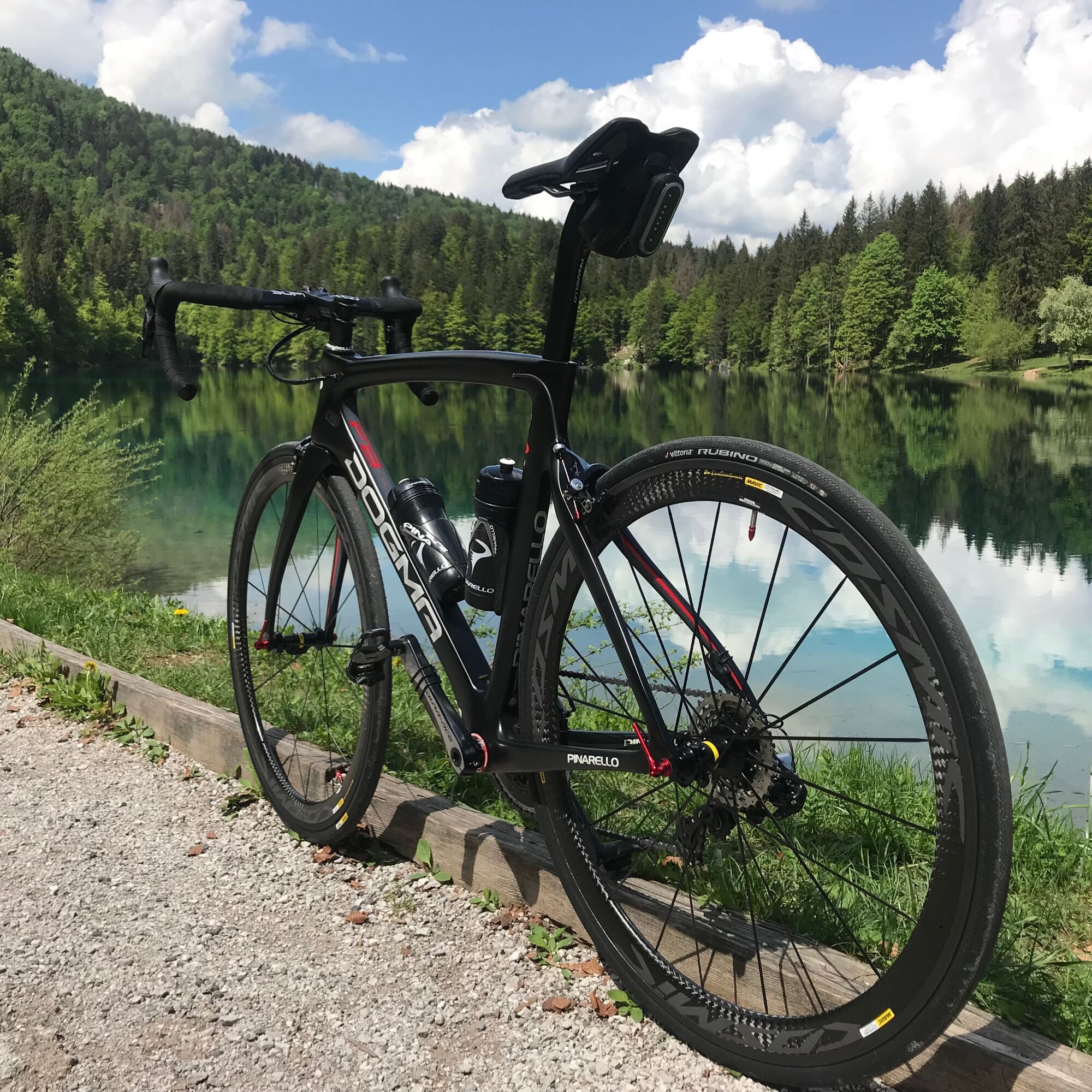
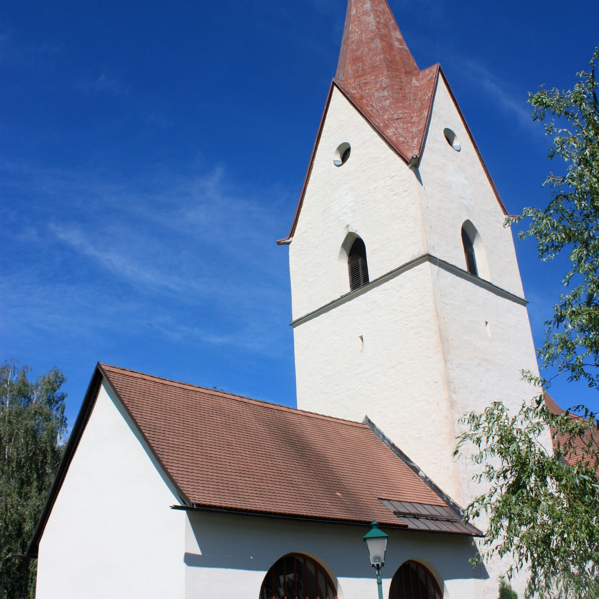
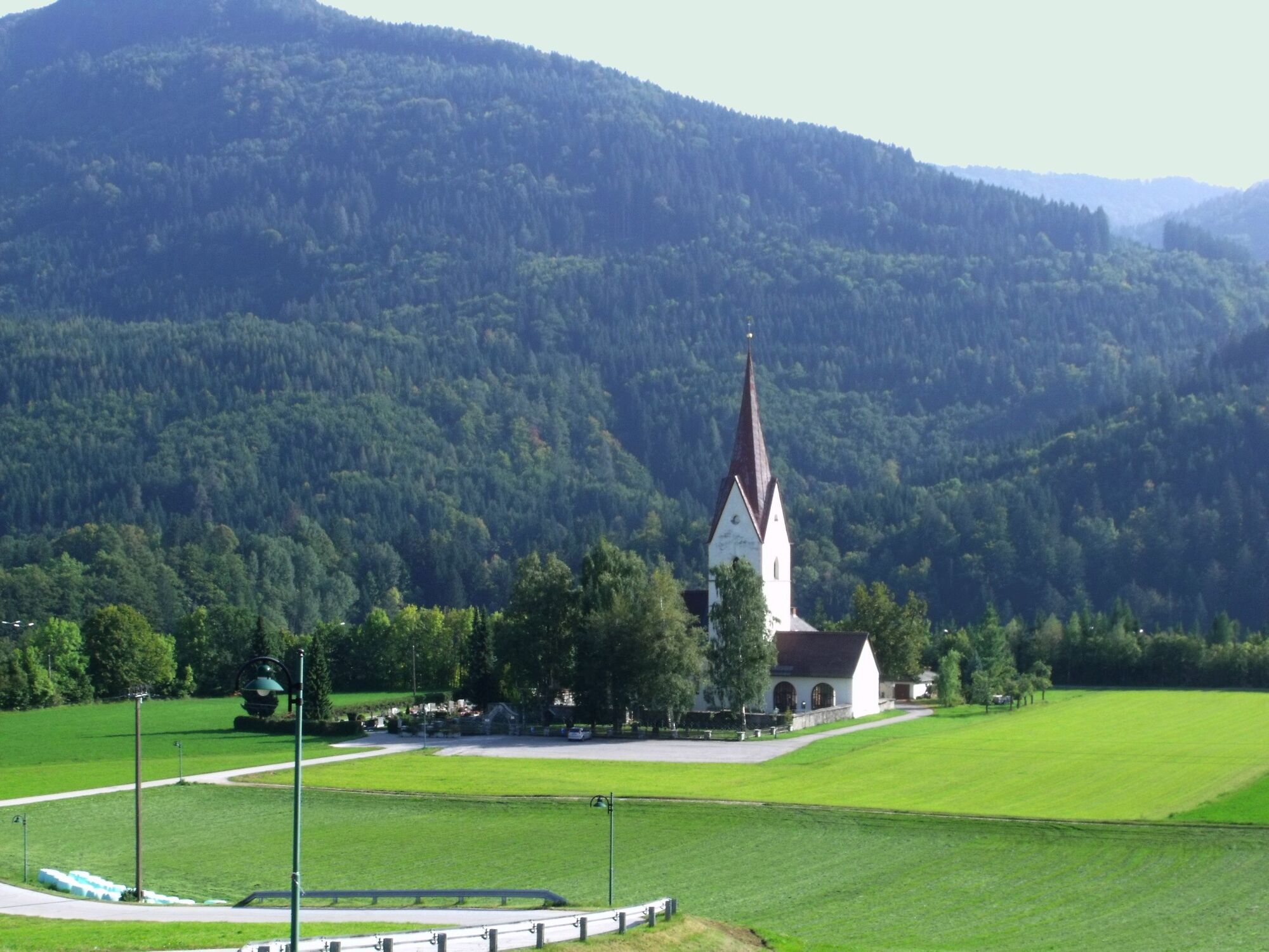
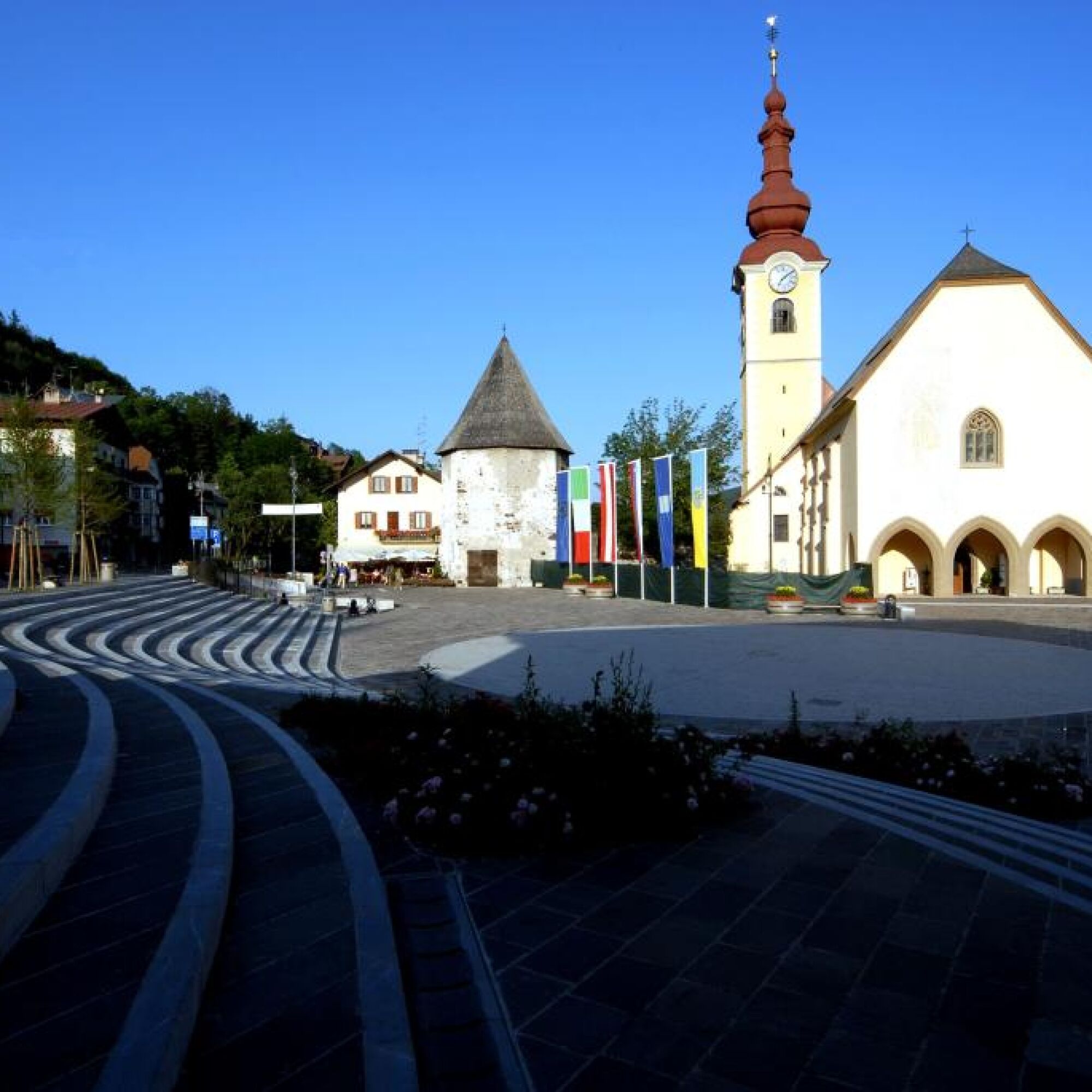
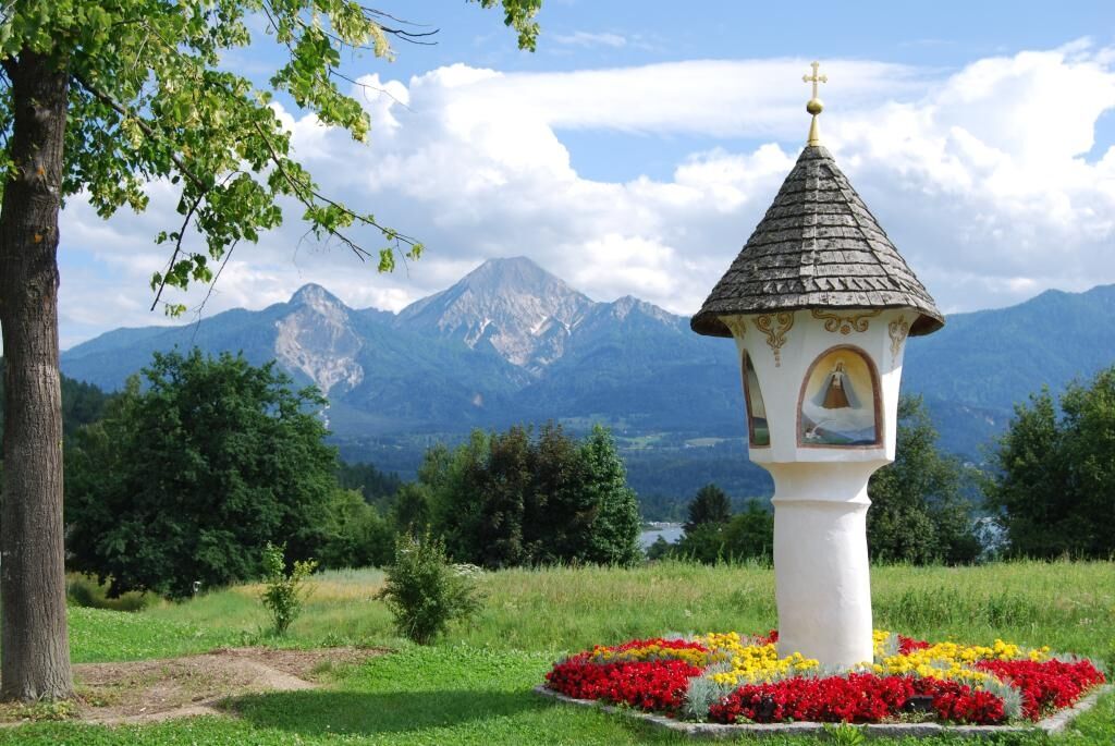
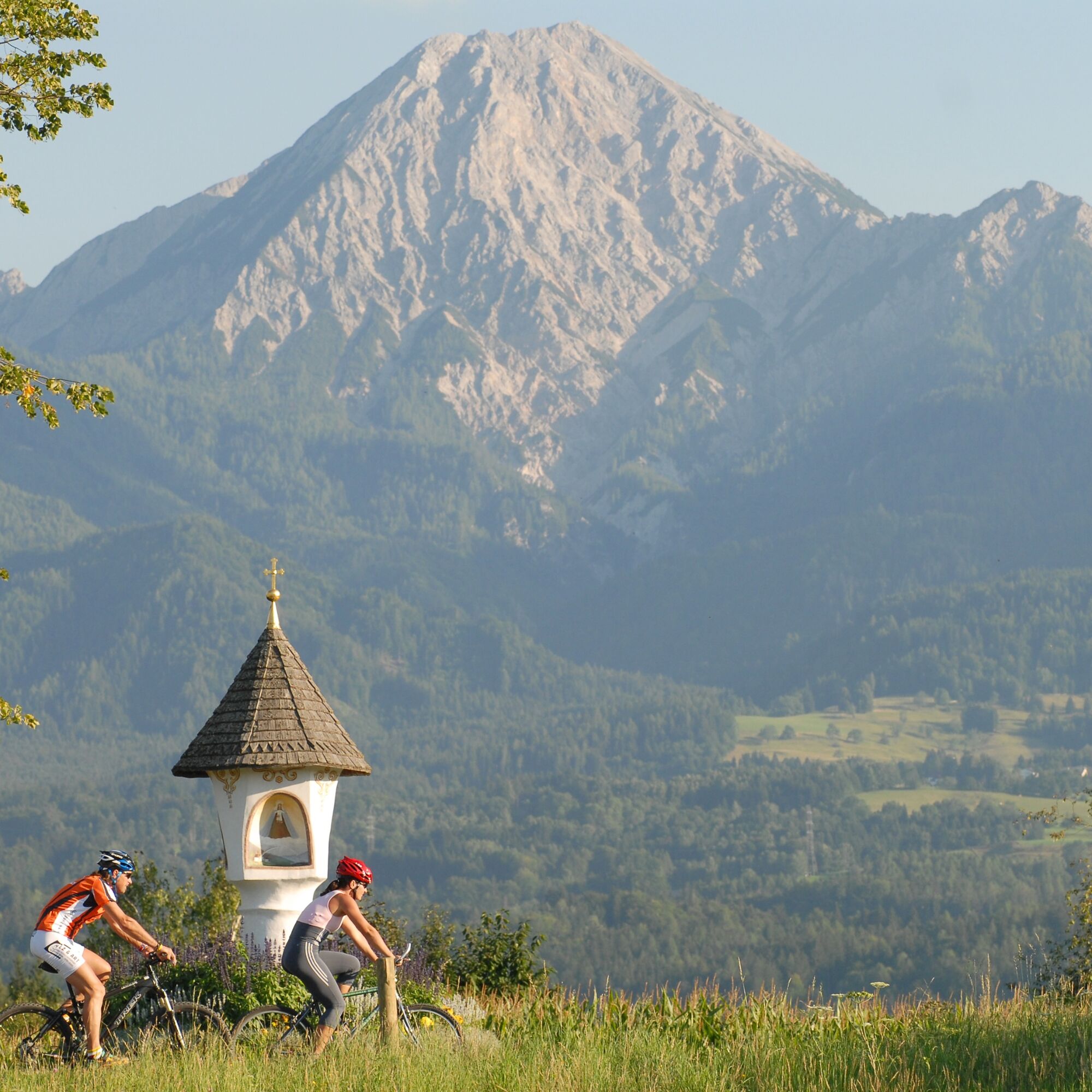
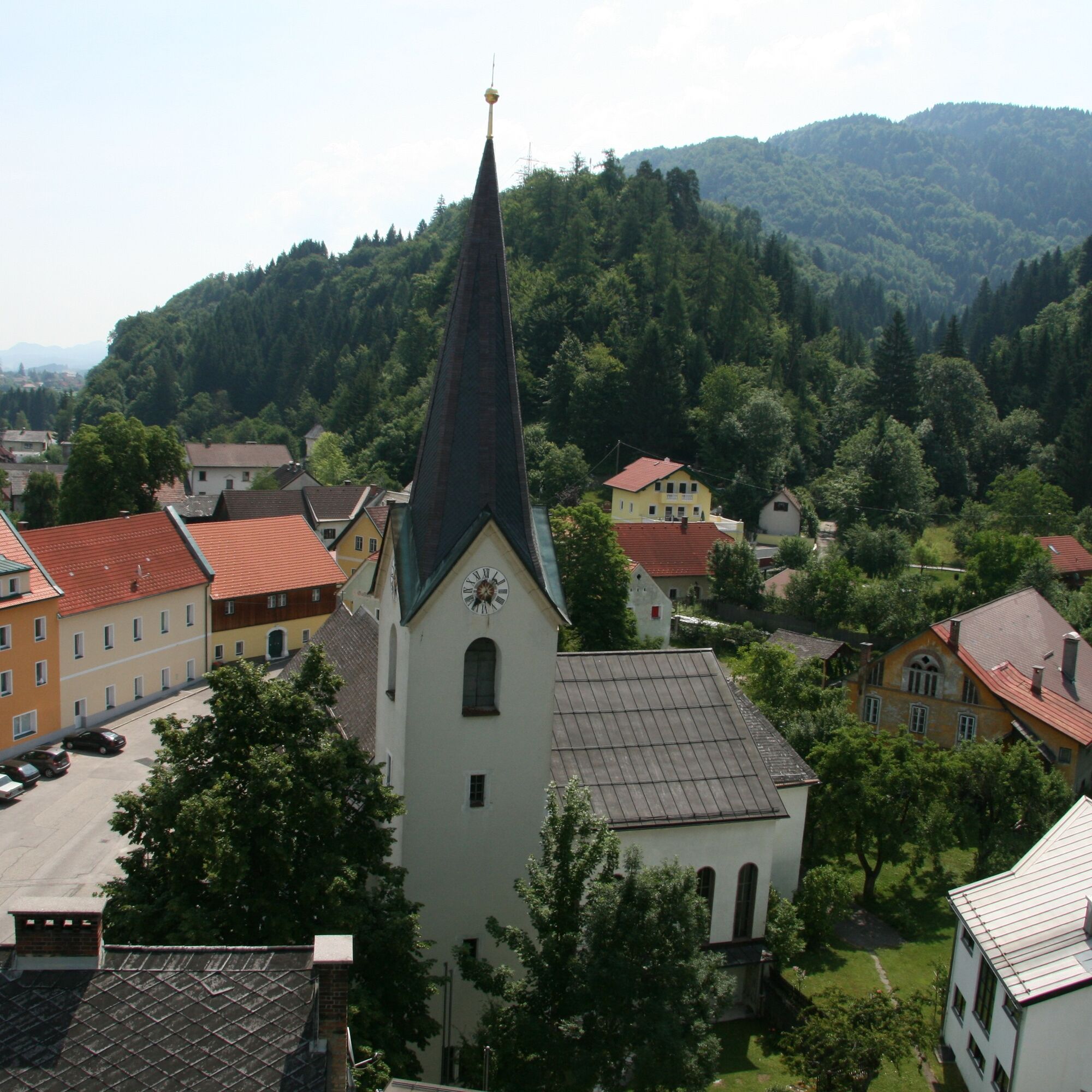
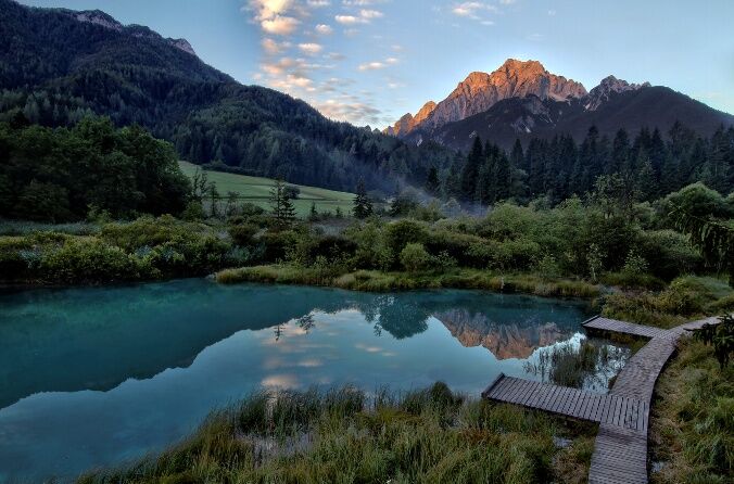
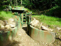
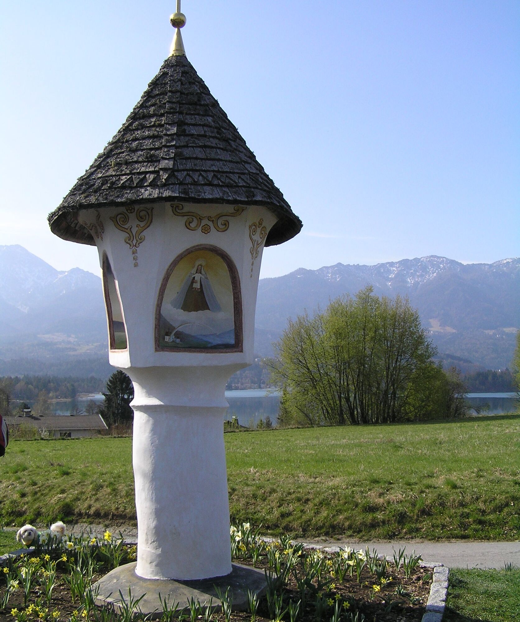
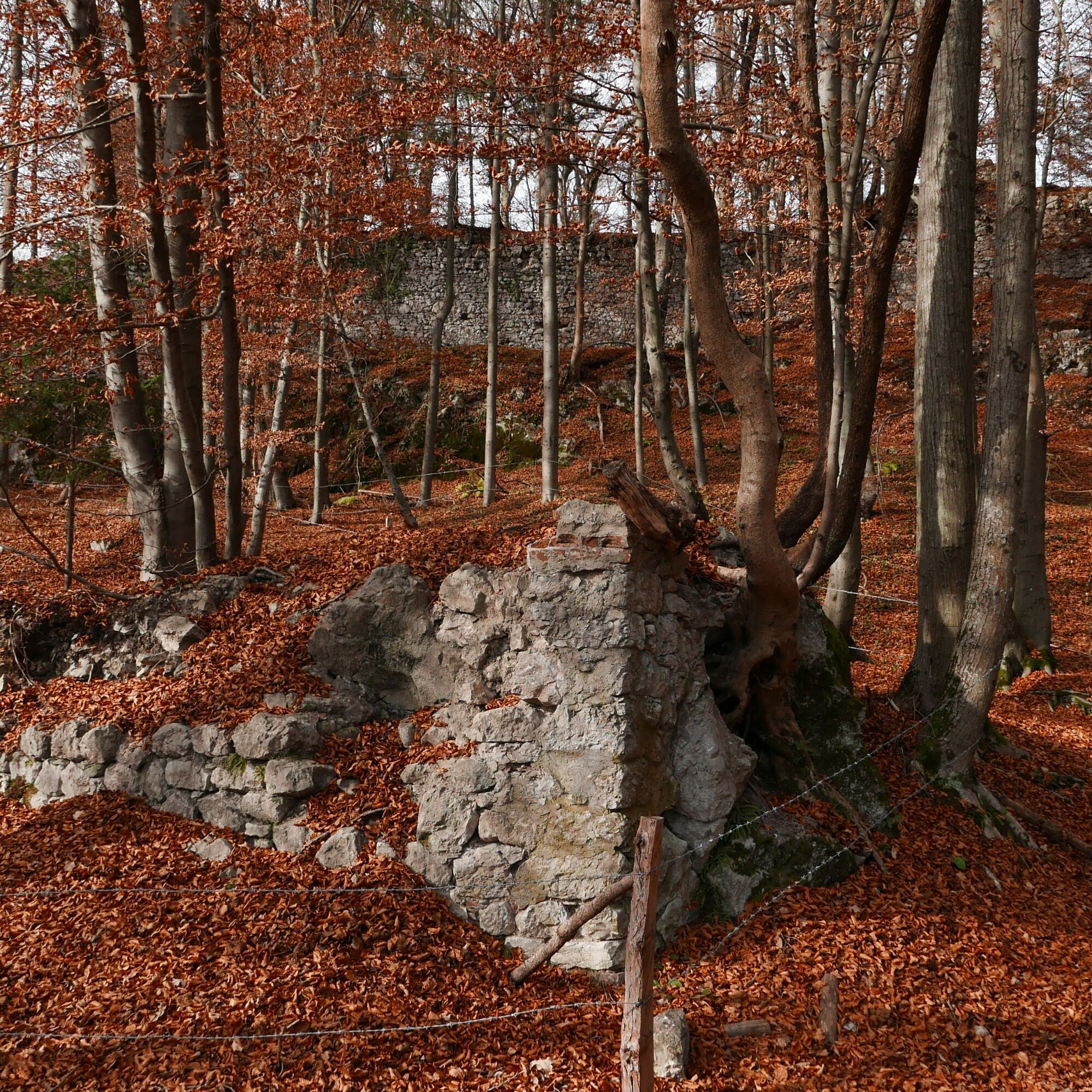
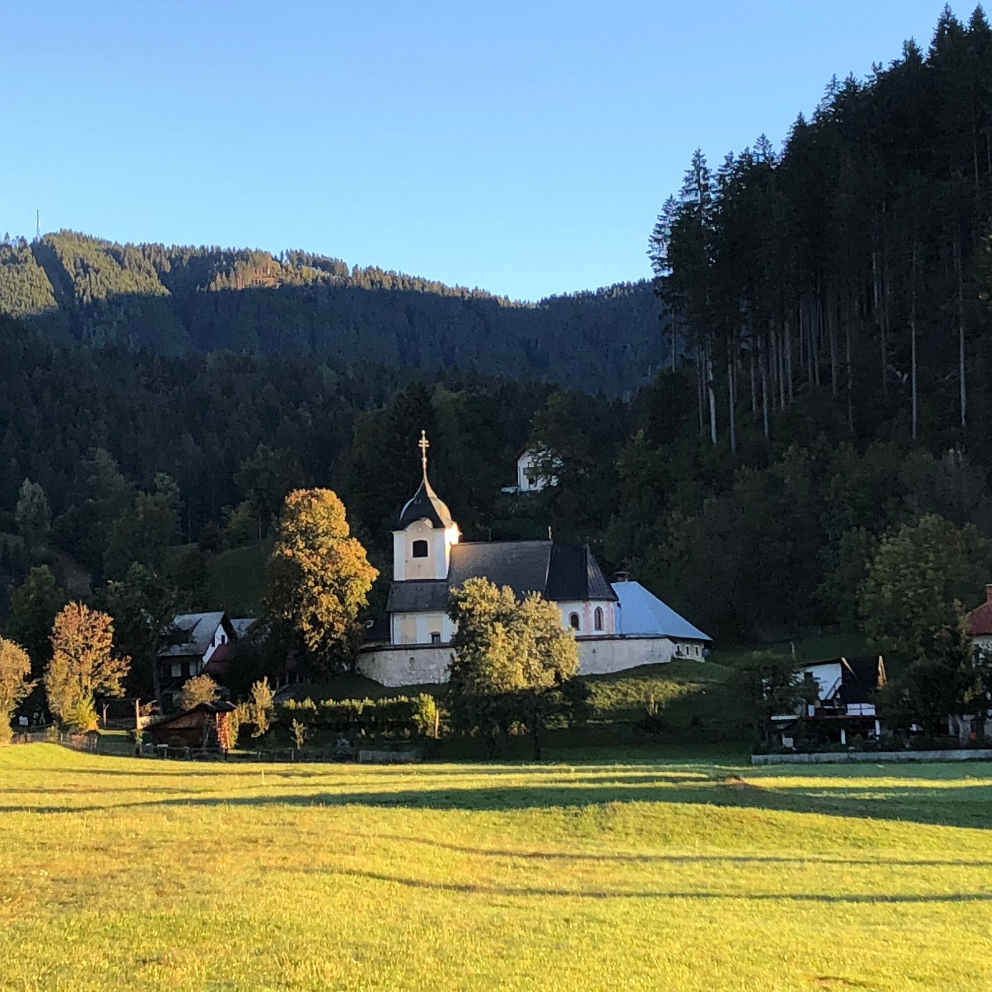
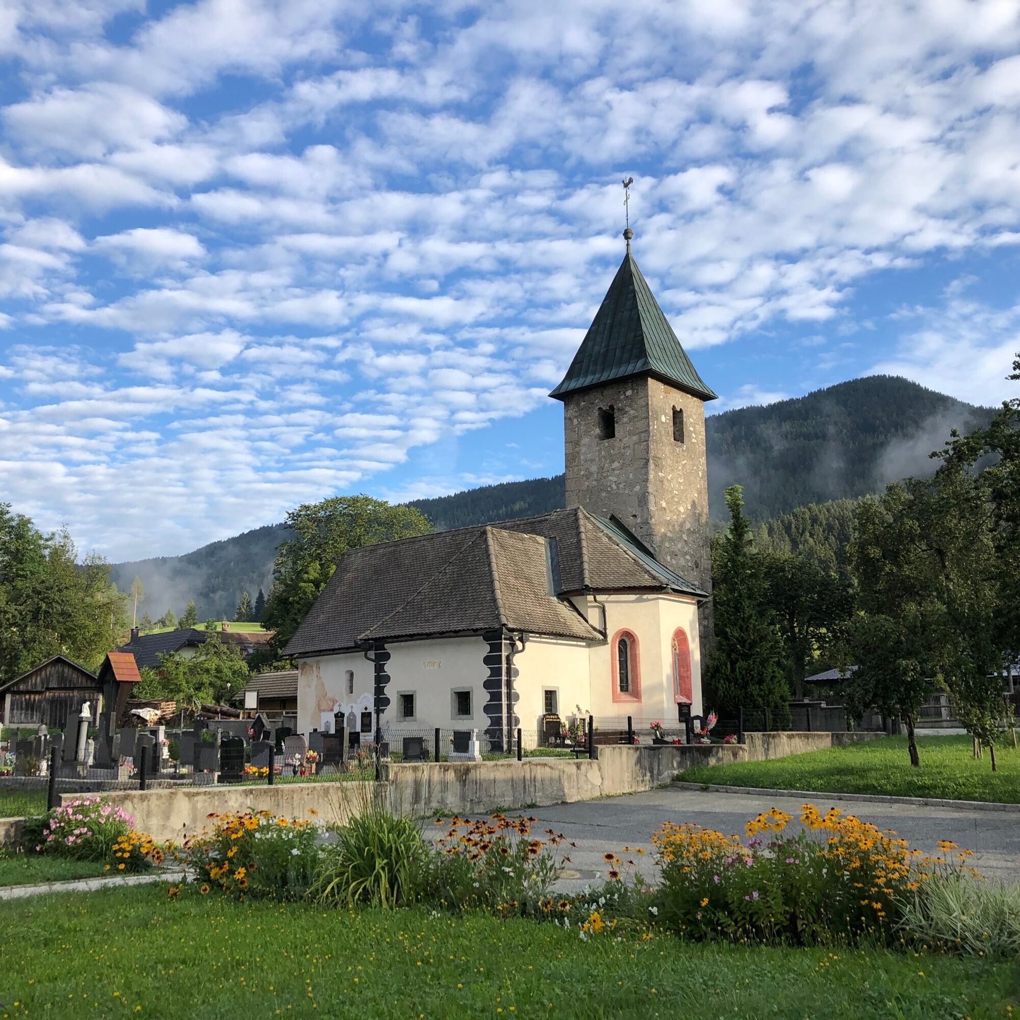
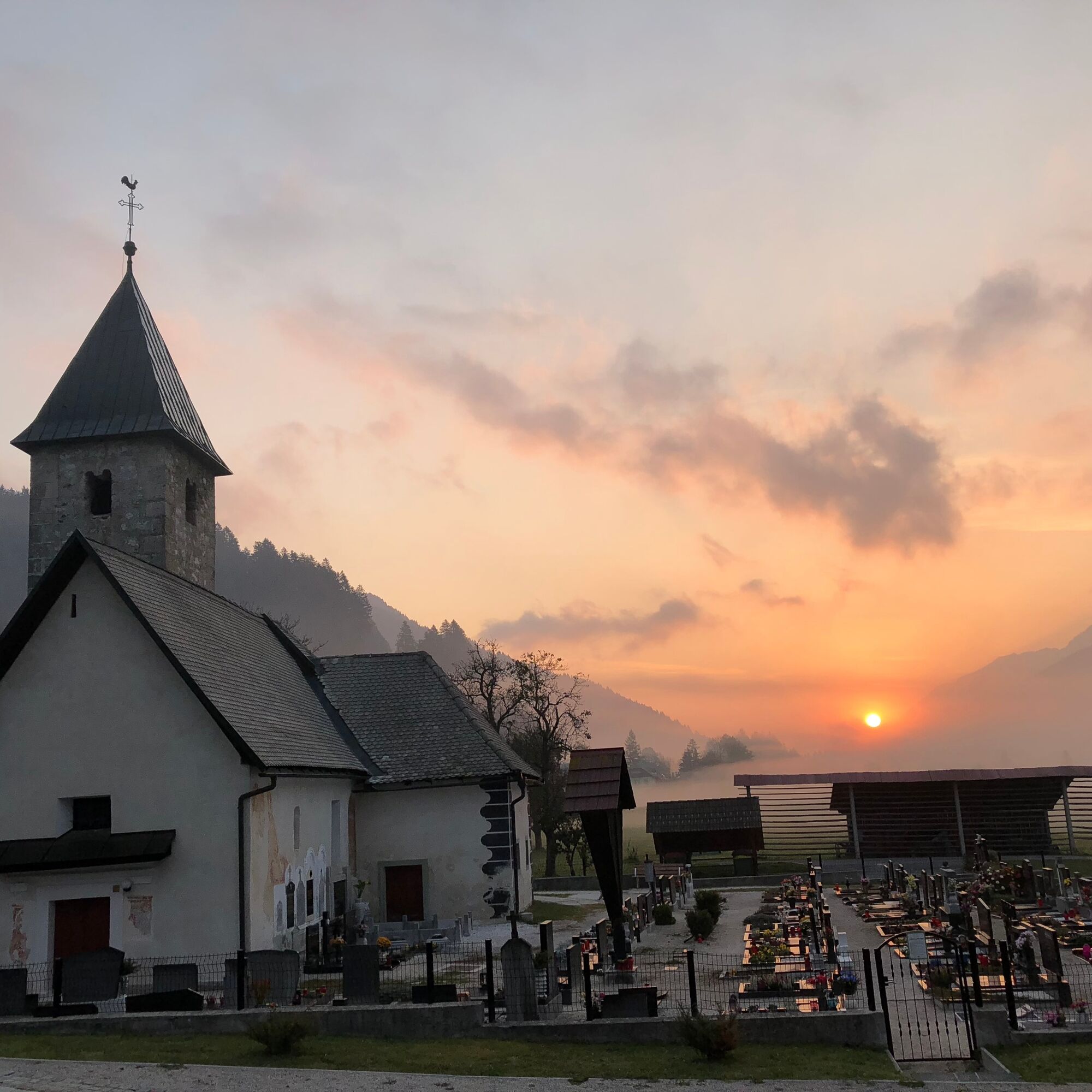

Velden on Lake Wörthersee - Wernberg - Zauchen - Magdalenensee - Warmbad - Schütt - Arnoldstein - Coccau - Tarvis - Podkoren - Wurzenpass - Fürnitz - Finkenstein - Faak am See - St. Niklas - Rosegg - Selpritsch - Velden on Lake Wörthersee
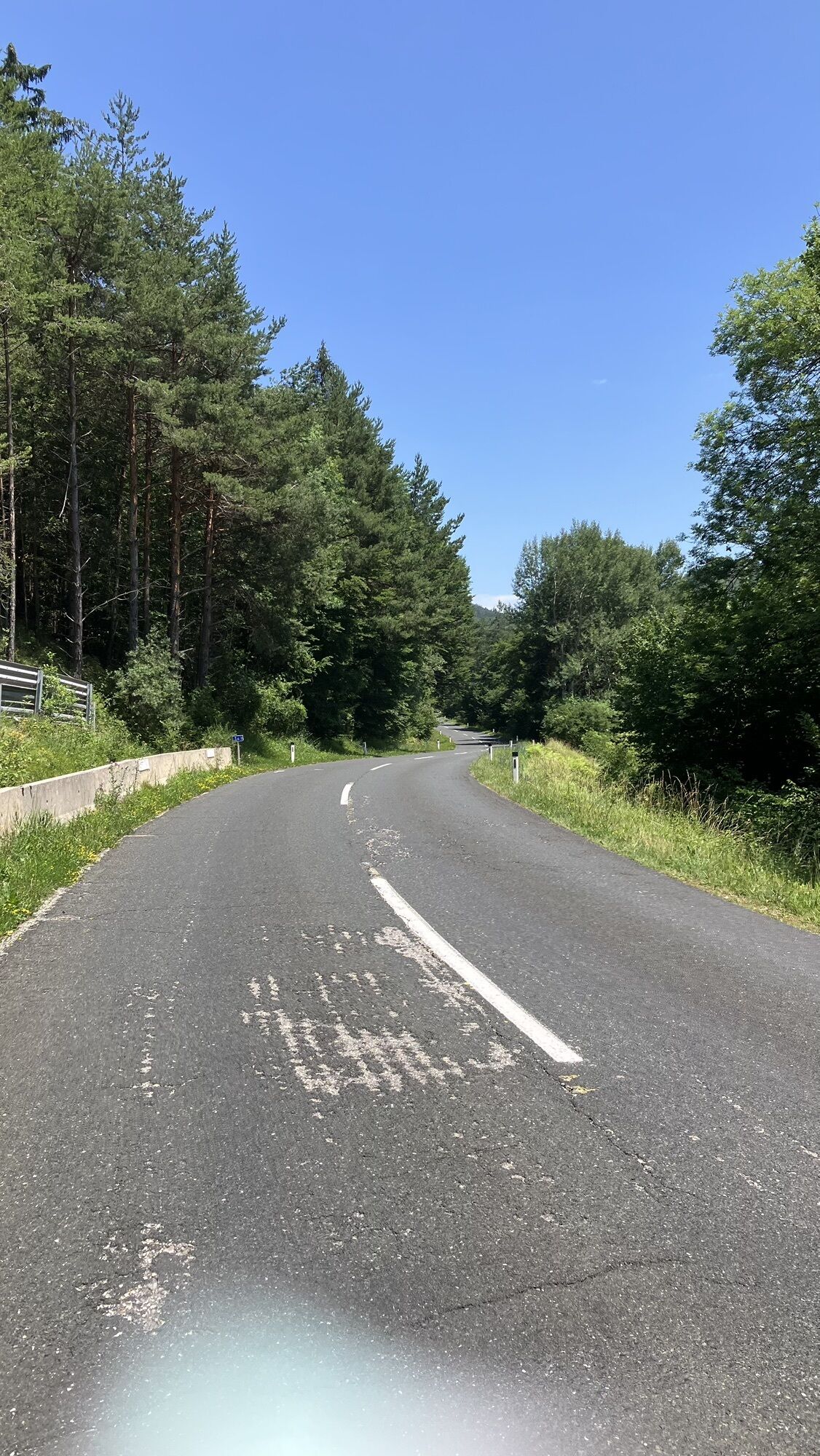
The descent from the Wurzenpass on the northern side has a gradient of up to 20%.
A2 south motorway exit Velden West or East, or B83.
Carinthia S-Bahn (line S1)
Velden South car park.
4
From the village of "Fusine in Valromana" a challenging 3 km leads to the two crystal-clear, turquoise mountain lakes Laghi Fusine. A scenic detour worth taking.
Webové kamery z prohlídky
-
Velden - Bootswerft Schmalzl
-
Faaker See
-
Faaker See
-
Faaker See
-
Faaker See
-
Faaker See
-
Faaker See
-
Landskron
-
Wörthersee / Saag
-
Villach - Friedensbrücke
-
Mojca 2
-
Dolenčev rut
-
Velden - Barry Memle
-
Velden - Barry Memle
-
Ciljna strmina Poligona
-
Dreiländereck
-
Monte Lussari
-
Villach
-
Burgruine Finkenstein
-
Velden Kurpark / Karawankenplatz
-
Strandpark Velden
-
Golf Velden am Wörthersee
-
Hotel Post Wrann
-
Faaker See / Grüner Heinrich
-
Falkensteiner Schlosshotel Velden
-
Planica - Nordic Center
-
Villacher Alpenstraße - Rosstratte
-
Monte Lussari
-
Monte Lussari
-
Faaker See / Haus am See
-
Panorama.Berg.Restaurant Drei.Länder.Eck
-
Kathreinkogel - Schiefling am Wörthersee
-
Kekec
-
Vitranc 2
-
Vitranc 1
-
Vitranc
-
Kranjska Gora - Talbereich
-
Jezero Jasna - Kranjska Gora
-
Podkoren Riesenslalom
-
Wurzenpass
Získejte přehled
Vždy živě na místě s více než 9 500 webkamerami. bergfex Jako uživatel Pro si nyní můžete zobrazit odpovídající webové kamery pro mnoho prohlídek v aplikaci prohlídky z. Můžete si tak přímo prohlédnout aktuální podmínky.
Oblíbené prohlídky v okolí
-
4.5
Auf den Dobratsch mit der ganzen Familie
Turistika 8.40 km -
4.7
Jezera Fusine
světloTuristika 5.43 km -
4.9
Orrido dello Slizza, Tarvisio, Italië
světloTuristika 2.65 km -
4.6
Gailtaler Alpen: Wanderung auf der Dobratsch
středníTuristika 8.50 km -
4.5
Monte Lussari
středníLyžařská trasa 10.7 km -
4.5
Monte Lussari über den alten Pilgerweg
středníTuristika 6.43 km -
4.6
Weißenfelser Seen: Fusine in Valromana - Ai Sette Nani - Seealm
středníTuristika 10.3 km -
4.2
Zacchi Wanderung Rundweg
světloTuristika 8.85 km -
4.2
Monte Santo di Lussari, Skitour, Pilgerweg
středníLyžařská trasa 9.35 km -
4.1
Jof di Miezegnot 2087m (Malborgether Mittagskofel)
Turistika 9.90 km
Pěší turistika a stopování


Nenechte si ujít nabídky a inspiraci pro vaši příští dovolenou
Vaše e-mailová adresa byl přidán do poštovního seznamu.





