Navigace na stránkách
Pořiďte si tuto prohlídku do mobilního telefonu
Mapa
Grossglockner High Alpine Road

heavy
Silniční kolo
171.75 km
Naskenujte QR kód a spusťte navigaci v aplikaci bergfex.
QR Code
Pěší turistika a stopování
Stáhnout pro iOS
Stáhnout pro Android

Grossglockner High Alpine Road

heavy
Silniční kolo 3,5
Mapa
Vzdálenost
171.8 km
Doba trvání
14:08 h
Ascent
4014 hm
Hladina moře
679 - 2540 m

Úroveň obtížnosti: 4
Stažení skladby
Mapa
Grossglockner High Alpine Road
heavy
Silniční kolo
171.75 km

Fotografie našich uživatelů

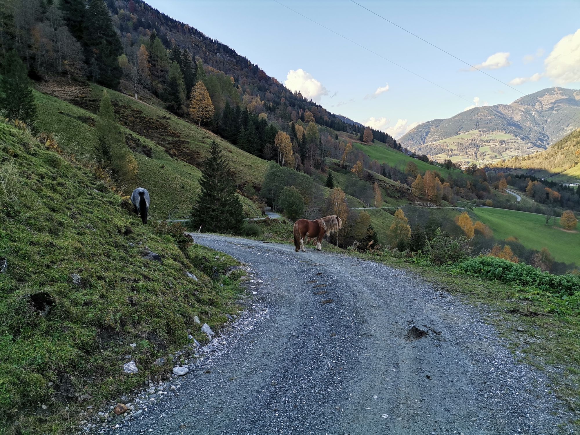
Starting from Winklern, the first approximately 20 km climb 300 m in altitude to Heiligenblut. Starting in Mallnitz, about 60 km must be covered to reach Heiligenblut. Here begins the Grossglockner High...

Popis
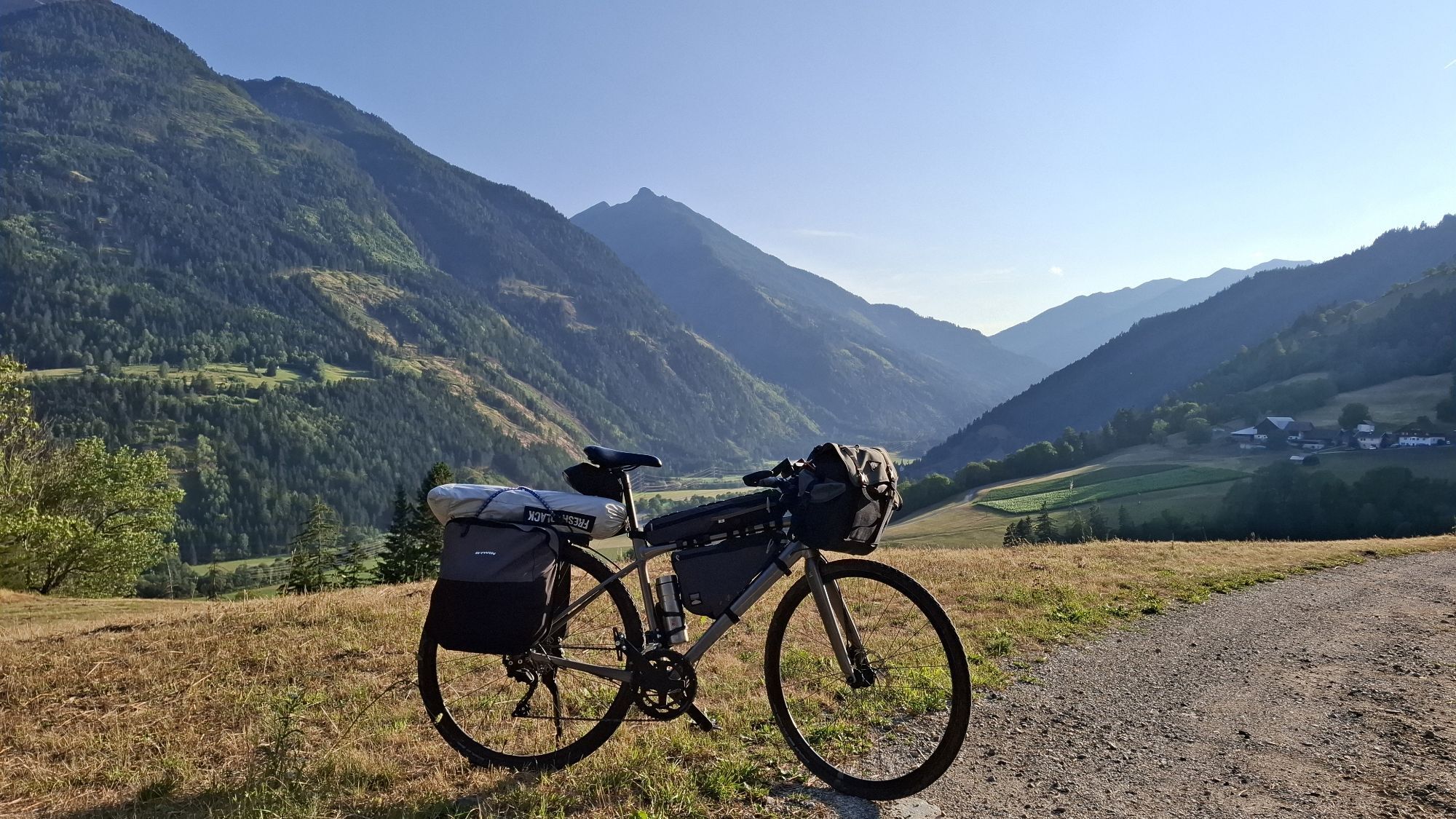
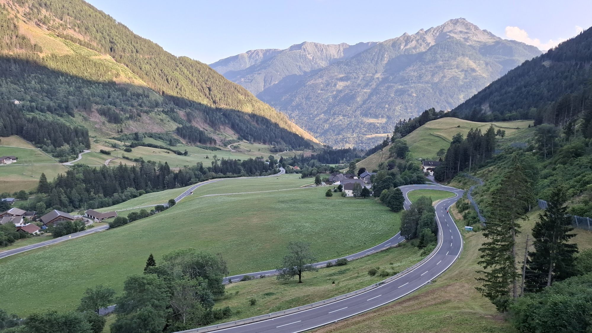
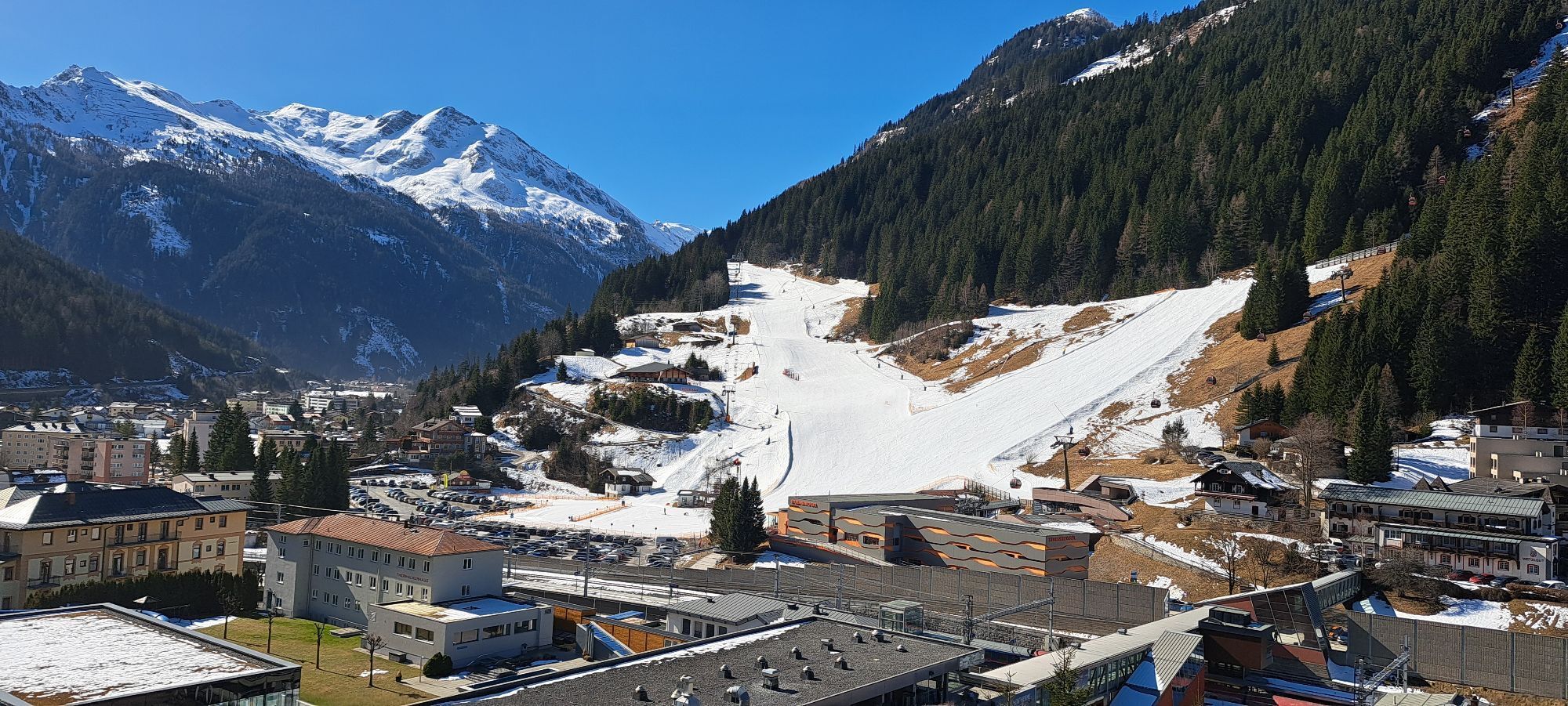
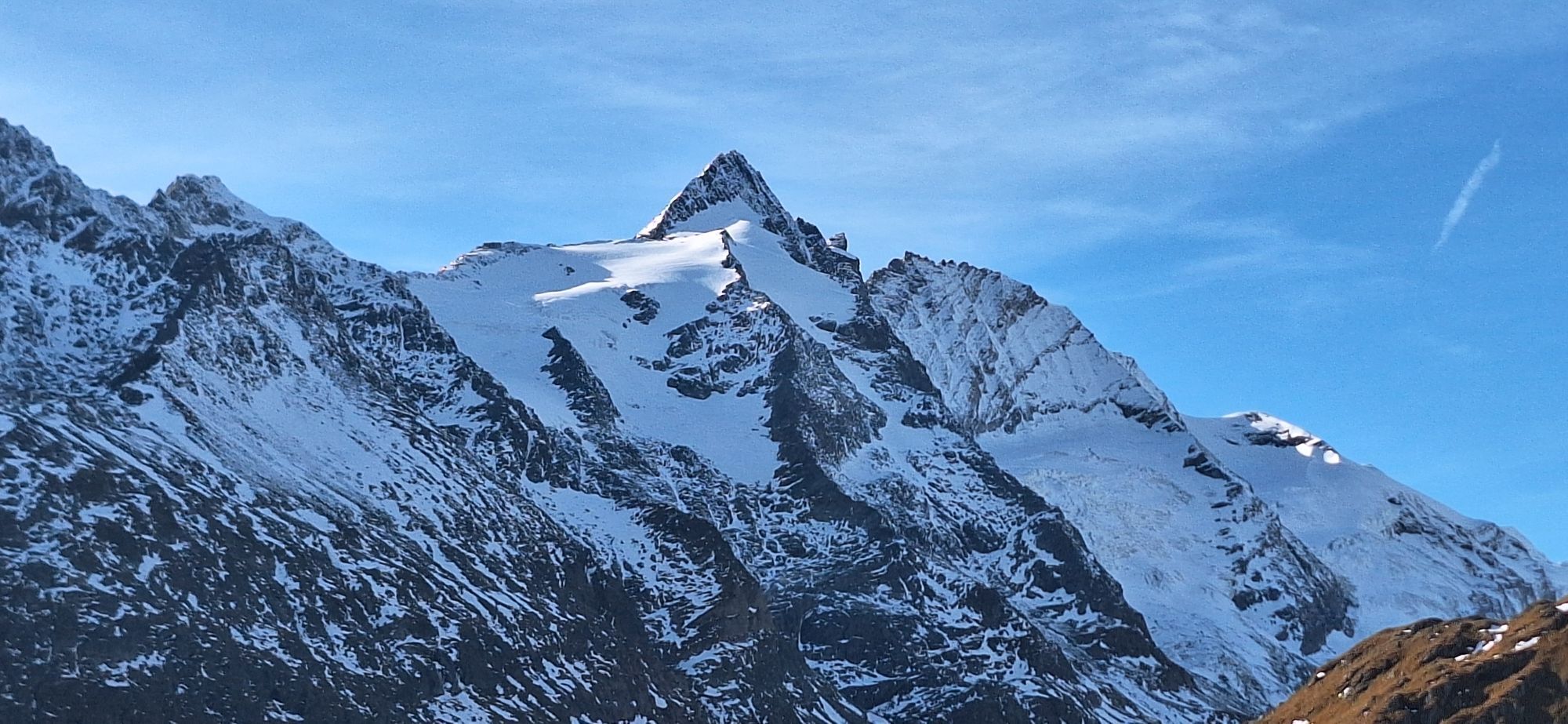
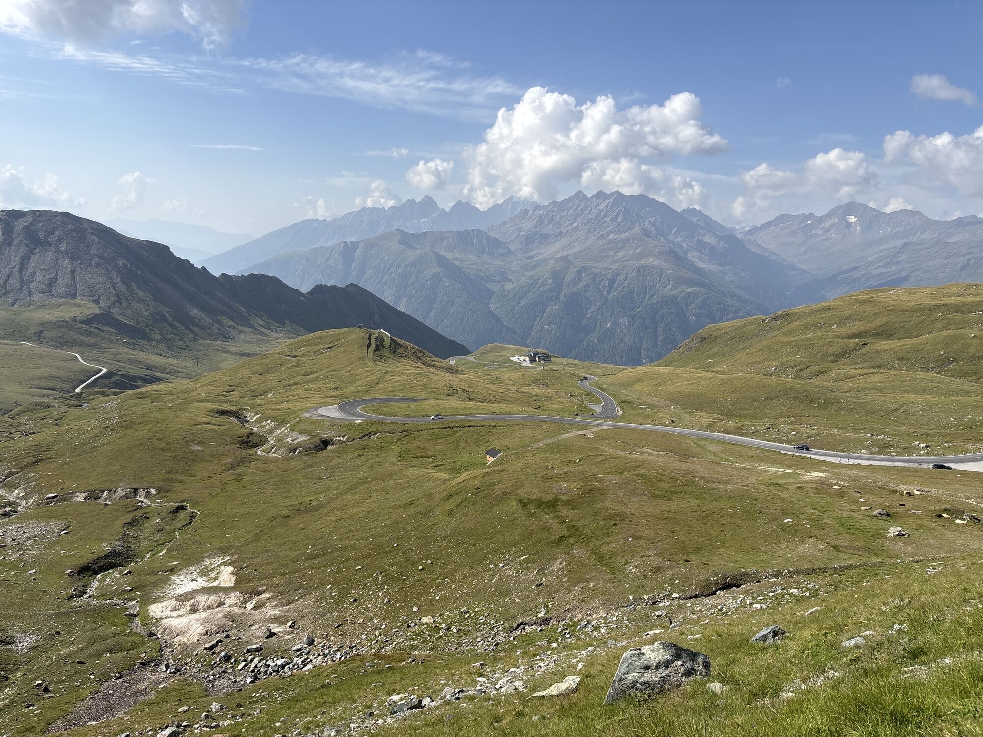
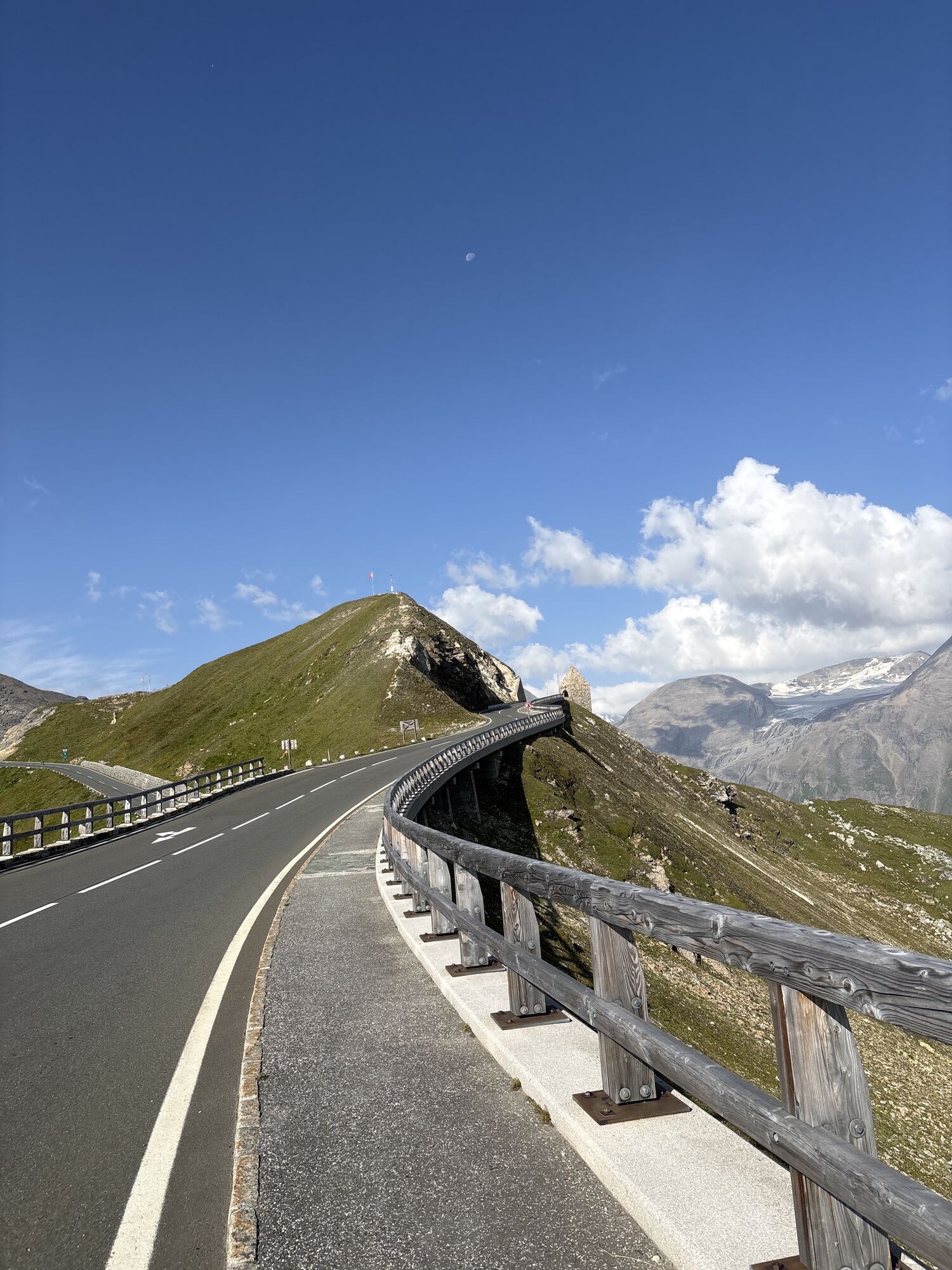
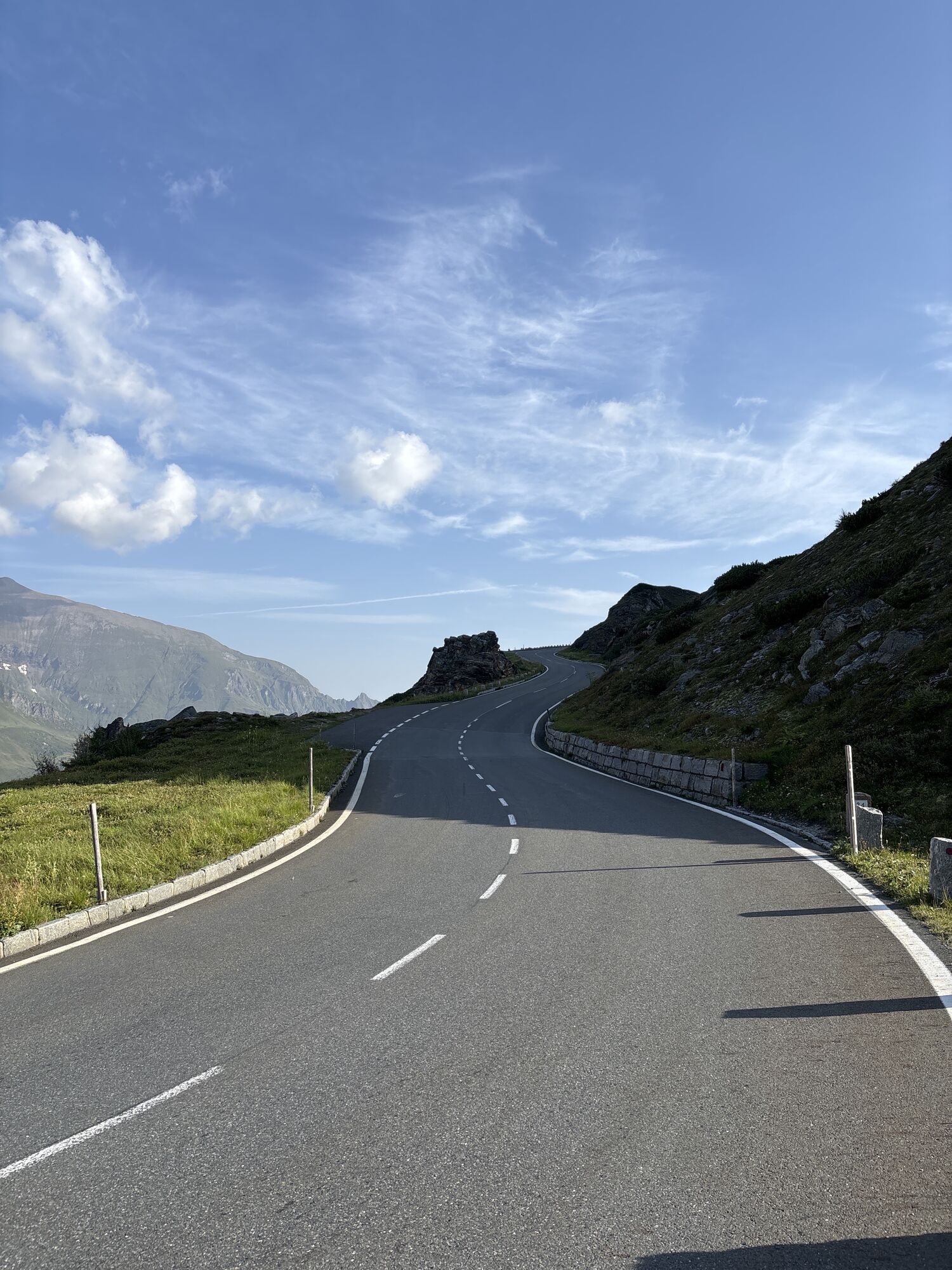
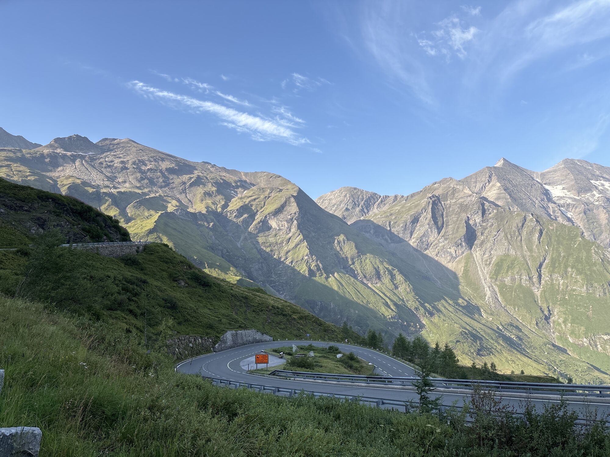
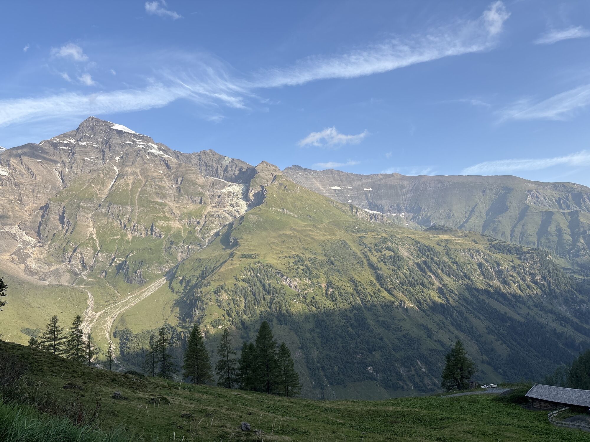
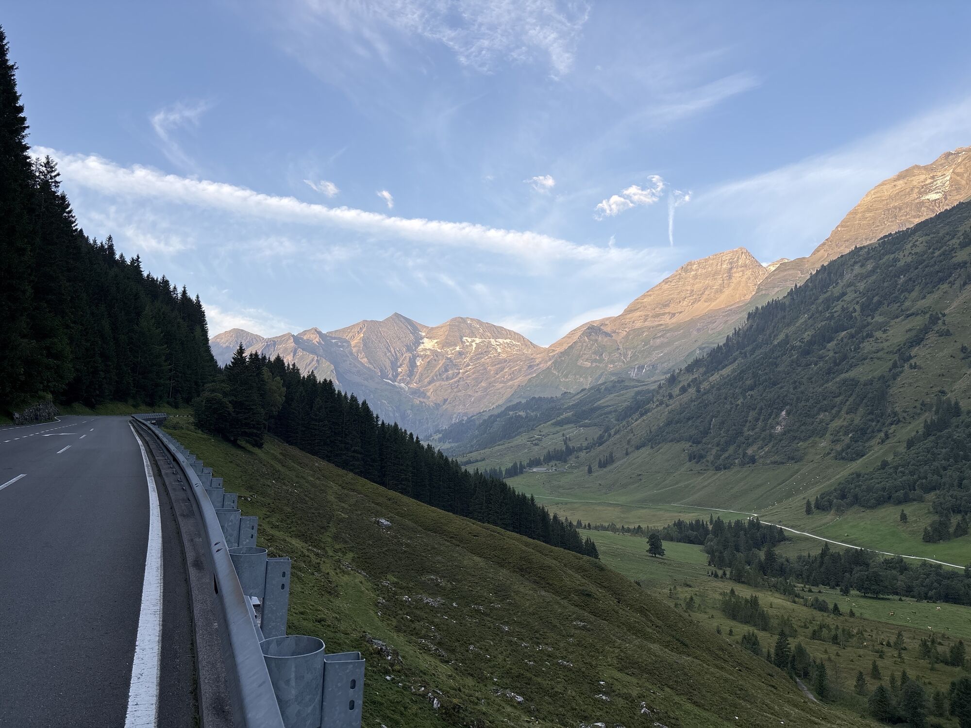
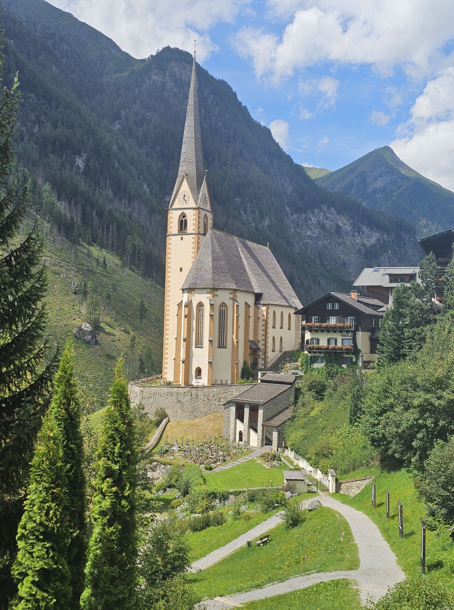
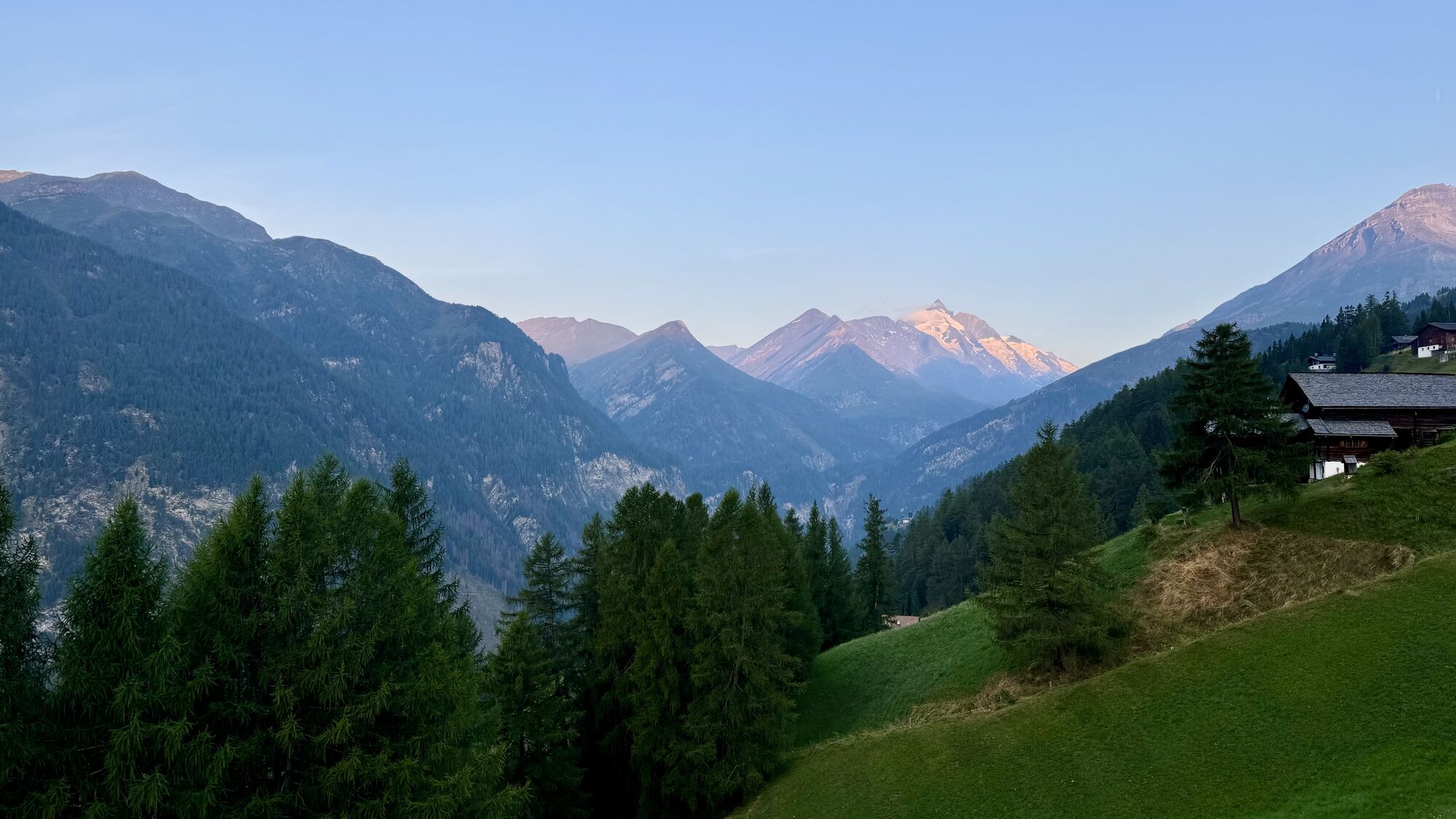
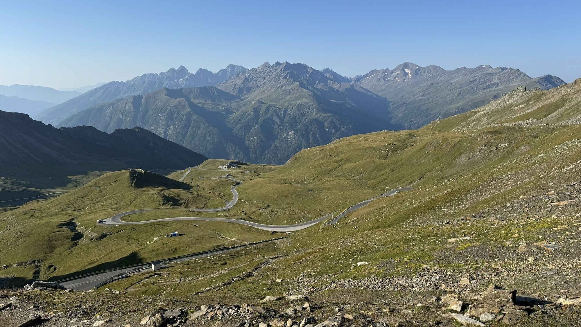
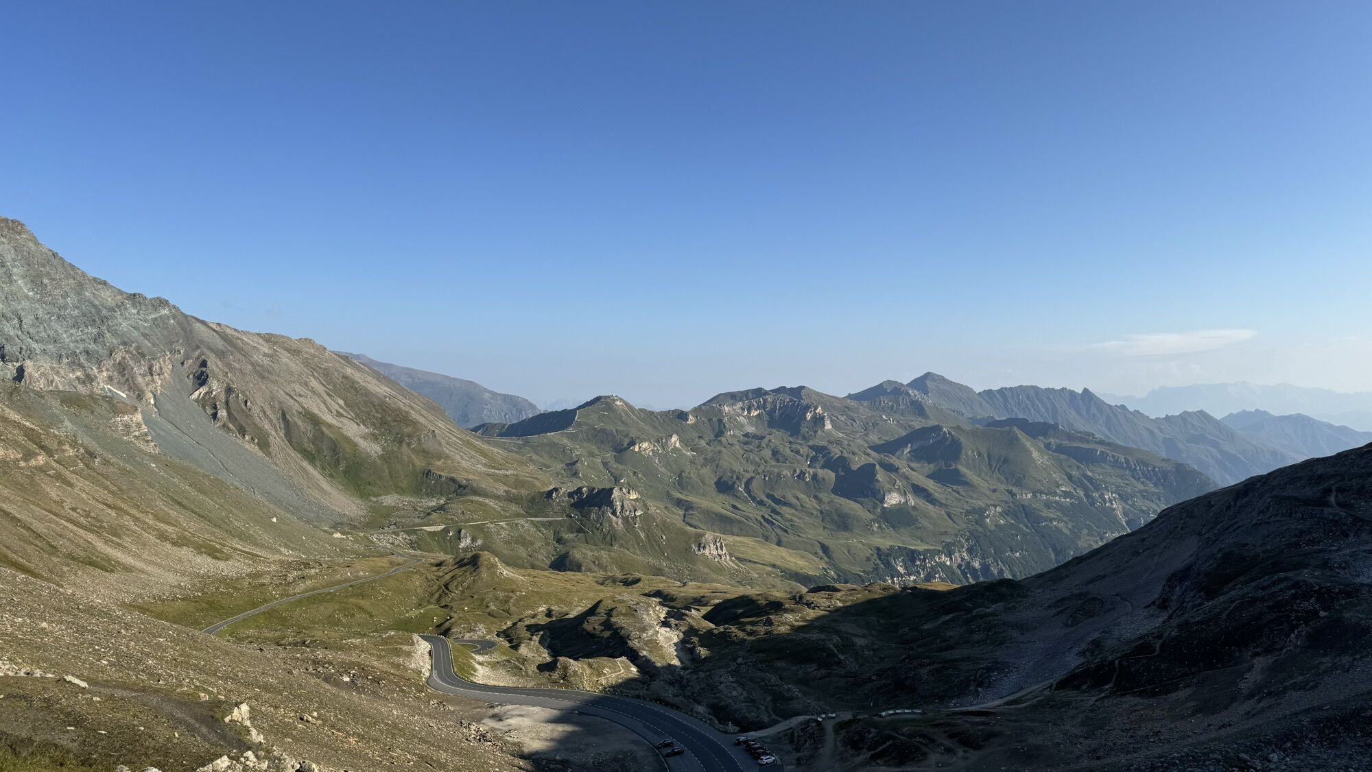
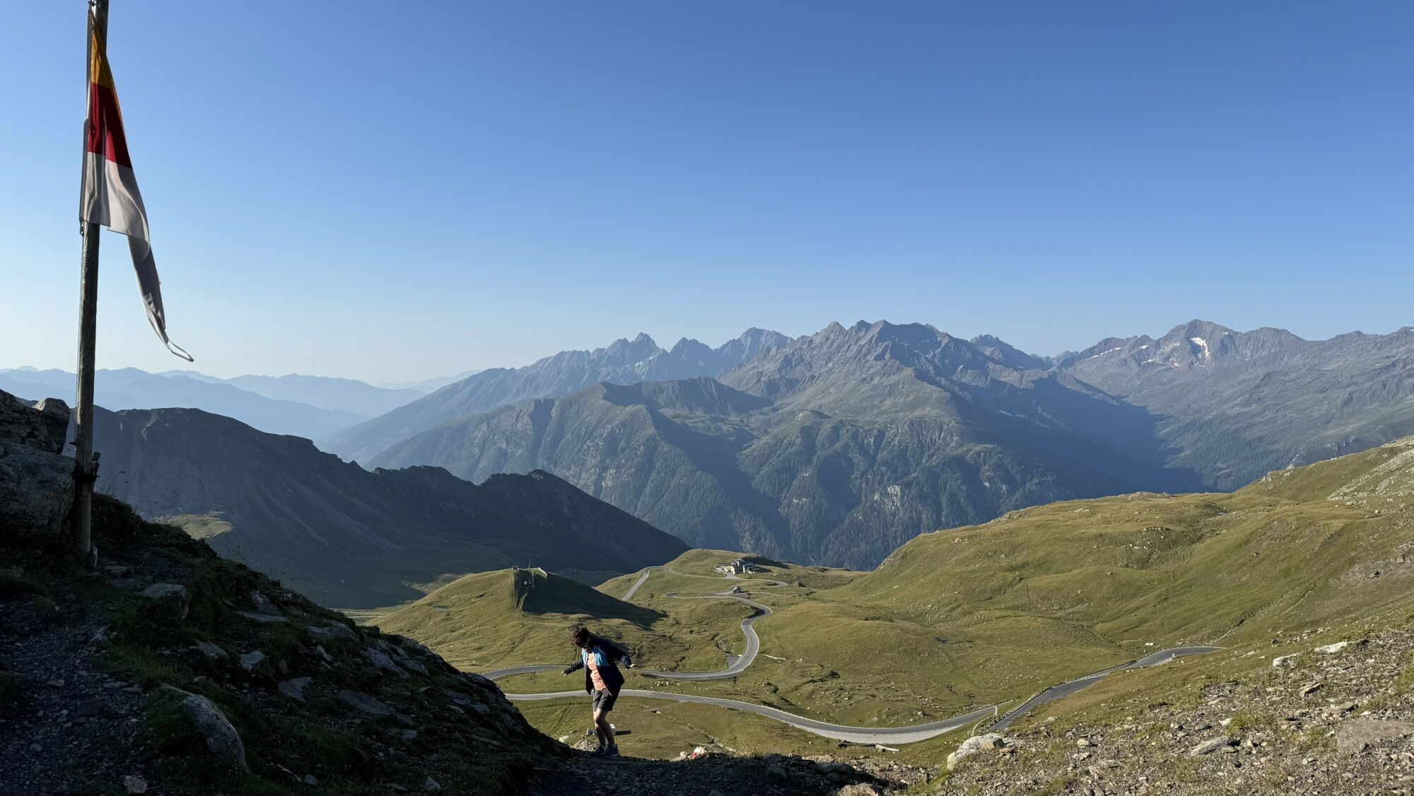
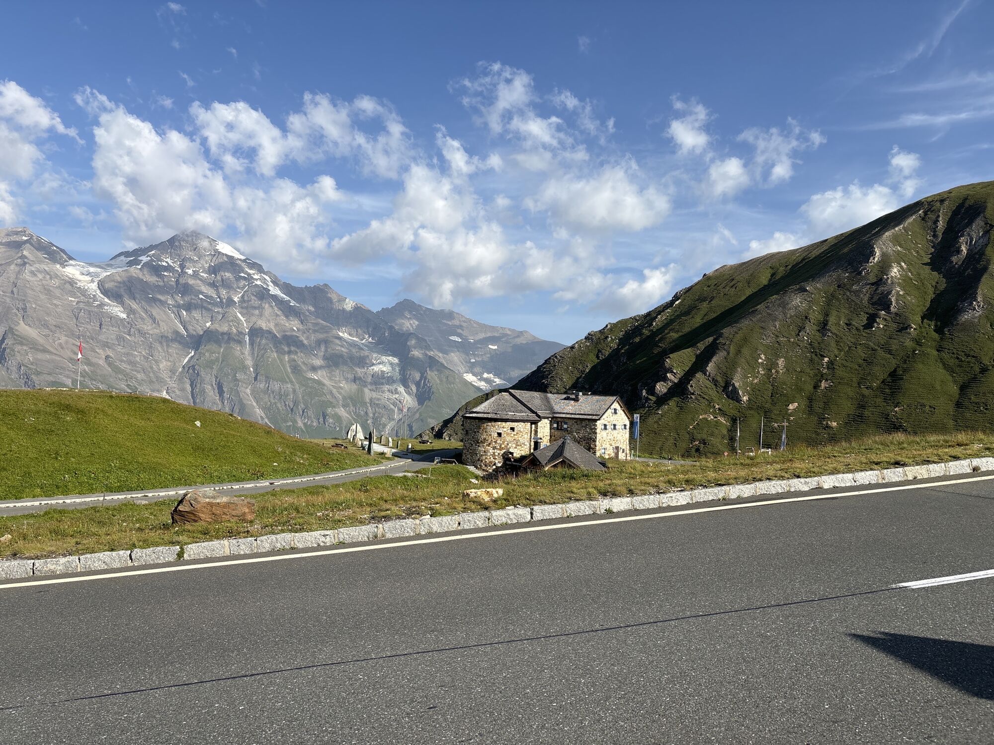
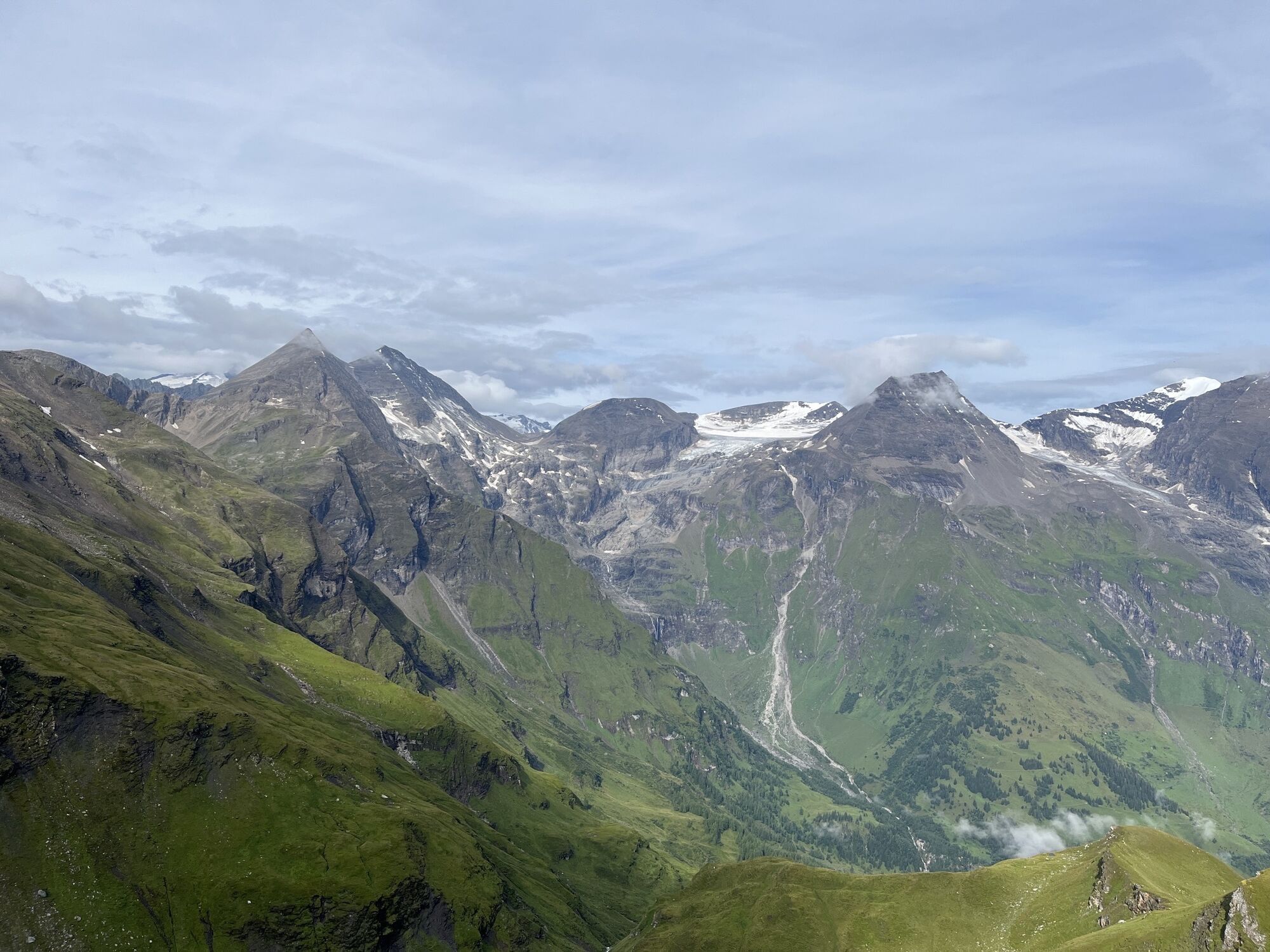
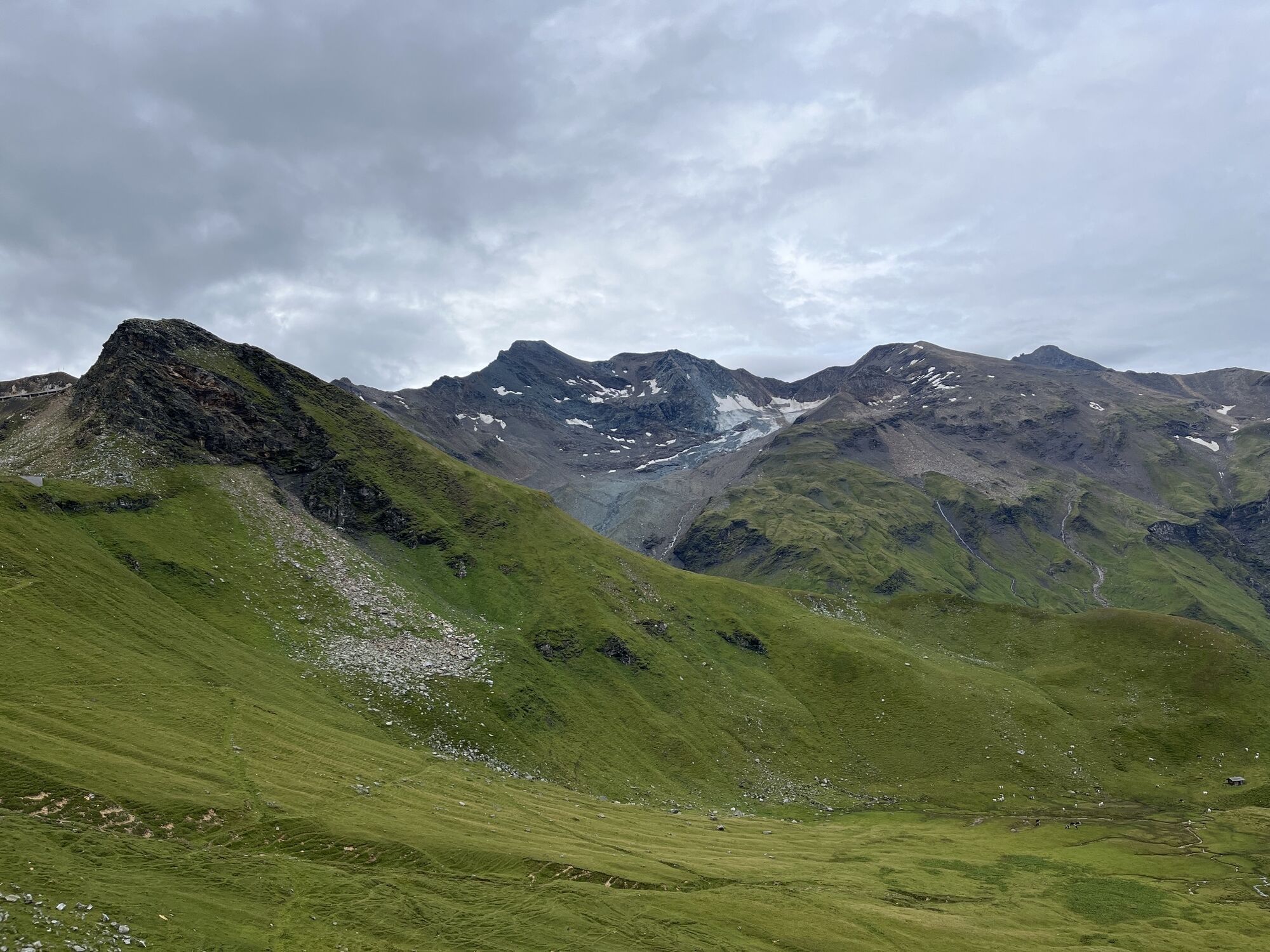
Starting from Winklern, the first approximately 20 km climb 300 m in altitude to Heiligenblut. Starting in Mallnitz, about 60 km must be covered to reach Heiligenblut. Here begins the Grossglockner High Alpine Road: 48 km and 36 hairpins await to be conquered. The demanding route combines a sporting challenge with impressive views of the surrounding mountain landscape and, of course, the Grossglockner, Austria's highest mountain at 3,798 m.

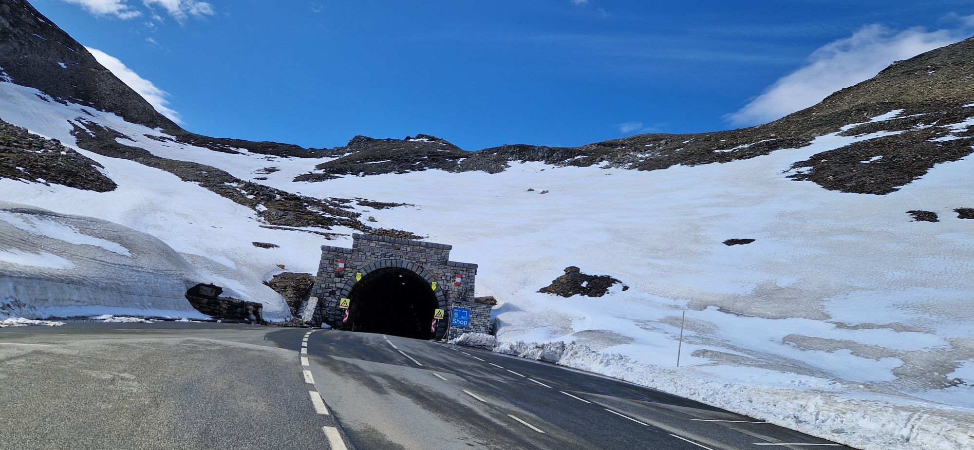
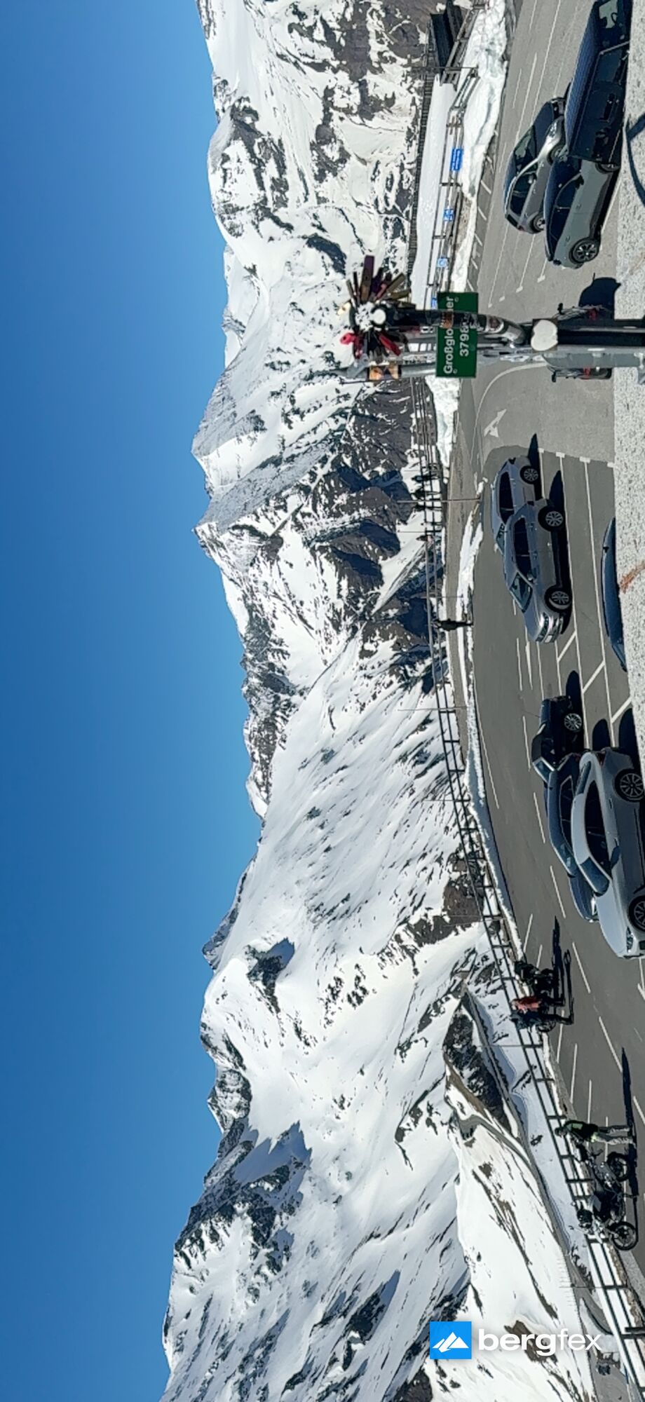
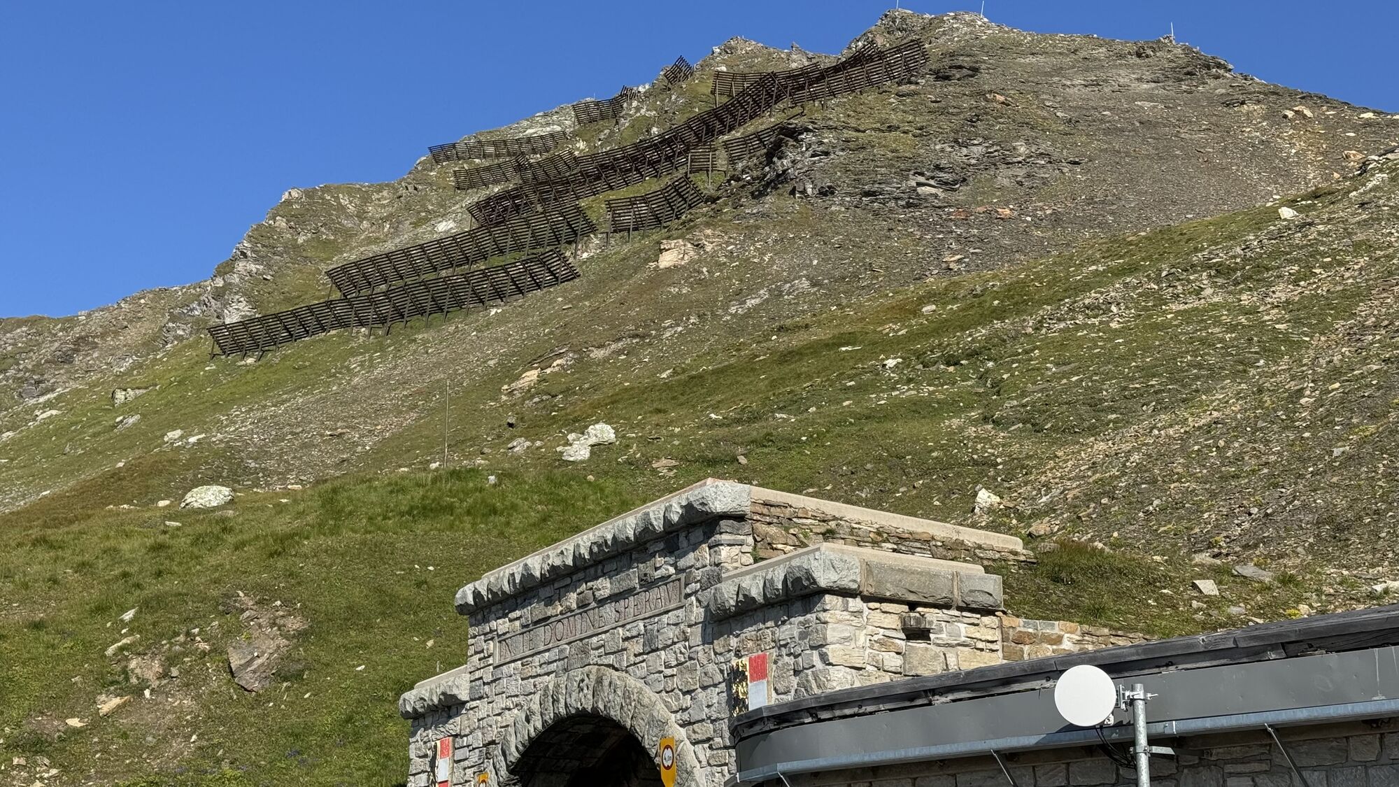
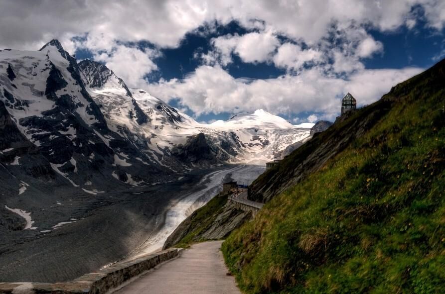
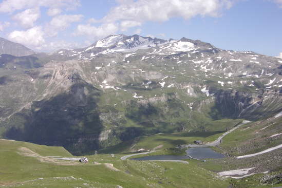
The first section from Heiligenblut (1,291 m) leads to the Kaiser-Franz-Josefs-Höhe (2,369 m), 16.5 km and about 1,000 m of ascent have to be overcome. There, a magnificent view of Pasterze and Grossglockner awaits. If you want to complete the route faster, you can skip the detour to Franz-Josefs-Höhe and drive directly to the Hochtor (2,576 m), also around 16 km with about 1,300 m ascent, calculated from Heiligenblut. From the Hochtor, it goes briefly downhill and then again a small ascent to the Fuscher Törl (2,428 m). If you want, you can also take the few hairpins to Edelweißspitze (2,571 m).

From now on, it goes downhill for about 20 km to Fusch, a curve delight, which, however, can be impaired by partly heavy excursion traffic. Caution is therefore advised! In Pinzgau, you turn onto the B 311 and ride westwards to Lend at the entrance to the Gastein Valley. Now it goes steadily uphill again past Bad Hofgastein and Bad Gastein to Böckstein station. There, it is time to dismount and change to the train. Via the ÖBB Tauern shuttle, which runs hourly from 6:20 a.m. to 10:20 p.m. (details: www.oebb.at or tel. 05 1717), you reach Mallnitz and thus back to Carinthia.

From Mallnitz, it is about 8 km downhill to Obervellach; there, you turn onto the B 106 and cycle the remaining kilometers along the Möll Valley back to the starting point, which you hopefully reach still in daylight.

Trasa
Obervellach
(684 m)
Město
8.2 km
Maria-Lourdes-Kapelle
(1237 m)
Místo konání bohoslužeb
60.0 km
Glocknerhaus
(2133 m)
Úkryt
74.3 km
Edelweißspitze
(2572 m)
Summit
100.3 km
Mitteralm
(1569 m)
Vypořádání
110.5 km
Sebastianikapelle
(806 m)
Místo konání bohoslužeb
150.2 km
Evang. Heilskirche
(839 m)
Místo konání bohoslužeb
162.7 km
Trasa
Mapa
Grossglockner High Alpine Road
heavy
Silniční kolo
171.75 km
Lassach Sonnseite
(1055 m)
Vesnice
3.0 km
Lassach Schattseite
(1002 m)
Vesnice
3.6 km
Oberwolliggen
(964 m)
Vypořádání
4.7 km
Zechnerfall
(829 m)
Vodopád
6.0 km
Dürnvellach
(711 m)
Vesnice
8.0 km
Obervellach-West
(696 m)
Sousedství
8.2 km
Obervellach
(684 m)
Město
8.2 km
Räuflach
(678 m)
Vesnice
9.0 km
Raufen
(683 m)
Vypořádání
9.5 km
Semslach
(697 m)
Vesnice
10.2 km
Söbriach
(733 m)
Vesnice
11.2 km
Flattach
(698 m)
Vesnice
13.5 km
Kleindorf
(736 m)
Vesnice
15.3 km
Außerfragant
(721 m)
Vesnice
15.7 km
Rakowitzen
(750 m)
Vypořádání
21.2 km
Wöllatratten
(774 m)
Vypořádání
21.8 km
Pußtratten
(783 m)
Vypořádání
24.0 km
Stall
(827 m)
Vesnice
24.8 km
Latzendorf
(793 m)
Vesnice
26.4 km
Tresdorf
(894 m)
Vesnice
28.6 km
Plappergassen
(850 m)
Vypořádání
30.7 km
Rangersdorf
(864 m)
Vesnice
31.1 km
Lainach
(852 m)
Vesnice
34.3 km
Andi´s Grill
(856 m)
Restaurace
37.1 km
Reintal
(864 m)
Vypořádání
37.1 km
Langang
(869 m)
Vypořádání
37.6 km
Winklern
(926 m)
Vesnice
38.7 km
Auen
(903 m)
Vypořádání
41.8 km
Lassach
(917 m)
Vypořádání
43.6 km
Mörtschach
(955 m)
Vesnice
45.4 km
Gasthof Fair
(937 m)
Restaurace
45.5 km
Untersagritz
(1010 m)
Vypořádání
49.5 km
Am Putzenhof
(1053 m)
Vypořádání
50.5 km
Großkirchheim-Döllach
(1009 m)
Vesnice
51.5 km
Familie Fleißner
(1014 m)
Restaurace
51.9 km
Gasthaus Gradenwirt
(1050 m)
Restaurace
53.8 km
Putschall
(1051 m)
Vypořádání
53.9 km
Aichhorn
(1121 m)
Vypořádání
56.7 km
Möllfall
(1192 m)
Vodopád
59.9 km
Zlapp
(1228 m)
Vypořádání
59.9 km
Maria-Lourdes-Kapelle
(1237 m)
Místo konání bohoslužeb
60.0 km
Rupertihaus
(1291 m)
Restaurace
61.0 km
Heiligenblut
(1238 m)
Vesnice
61.0 km
Hof
(1303 m)
Vypořádání
61.0 km
Wolkersdorf
(1465 m)
Vypořádání
62.5 km
Untere Schütt
(1462 m)
Koridor/terén
62.8 km
Fleiß
(1396 m)
Vypořádání
62.8 km
Fleißtal
(1514 m)
Koridor/terén
63.1 km
Gasthof Tauernalm
(1696 m)
Restaurace
65.2 km
Kasereck
(1914 m)
Koridor/terén
67.3 km
Schöneck
(1951 m)
Restaurace
70.9 km
Karl-Volkert-Haus
(2151 m)
Úkryt
74.0 km
Glocknerhaus
(2133 m)
Úkryt
74.3 km
Kehre 1
(2186 m)
Koridor/terén
75.3 km
Kehre 2
(2199 m)
Koridor/terén
75.5 km
Kehre 3
(2247 m)
Koridor/terén
75.8 km
Kehre 3
(2247 m)
Koridor/terén
79.1 km
Kehre 1
(2186 m)
Koridor/terén
79.8 km
Glocknerhaus
(2133 m)
Úkryt
80.7 km
Karl-Volkert-Haus
(2151 m)
Úkryt
81.1 km
Schöneck
(1951 m)
Restaurace
84.2 km
Zlanitzen
(1999 m)
Koridor/terén
87.3 km
Zlanitzen
(2016 m)
Koridor/terén
87.5 km
Wernischalm
(2017 m)
Koridor/terén
87.6 km
Zlanitzen
(2037 m)
Koridor/terén
87.8 km
Zlanitzen
(2055 m)
Koridor/terén
88.0 km
Tauerneck
(2099 m)
Koridor/terén
88.4 km
Almwinkl
(2257 m)
Koridor/terén
89.8 km
Mesenaten
(2282 m)
Koridor/terén
90.2 km
Mesenaten
(2336 m)
Koridor/terén
90.8 km
Margrötzenhang
(2462 m)
Koridor/terén
90.9 km
Hochtor
(2504 m)
Úhel pohledu
92.3 km
Hochtor
(2576 m)
Horské sedlo
92.5 km
Kehre 17
(2460 m)
Koridor/terén
93.1 km
Kehre 16
(2450 m)
Koridor/terén
93.3 km
Kleines Woazköpfl
(2286 m)
Koridor/terén
96.1 km
Gasthof Fuscherlacke
(2262 m)
Restaurace
96.4 km
Kehre 15
(2275 m)
Koridor/terén
96.8 km
Blick zum Fuscher Törl
(2427 m)
Úhel pohledu
98.4 km
Törlkopf
(2455 m)
Summit
98.6 km
Fuscher Törl
(2402 m)
Horské sedlo
98.7 km
Restaurant Fuschertörl
(2410 m)
Restaurace
98.9 km
Edelweißspitze
(2572 m)
Summit
100.3 km
Kehre 14
(2375 m)
Koridor/terén
102.1 km
Kehre 13
(2343 m)
Koridor/terén
102.5 km
Kehre 12
(2335 m)
Koridor/terén
102.6 km
Oberes Nassfeld
(2269 m)
Koridor/terén
103.3 km
Kehre 11
(2162 m)
Koridor/terén
104.4 km
Hexenküche
(2156 m)
Koridor/terén
104.6 km
Kehre 10
(2123 m)
Koridor/terén
104.8 km
Kehre 9
(2082 m)
Koridor/terén
105.3 km
Kehre 8
(1933 m)
Koridor/terén
106.6 km
Kehre 7
(1922 m)
Koridor/terén
106.8 km
Kehre 6
(1782 m)
Koridor/terén
108.1 km
Kehre 5
(1762 m)
Koridor/terén
108.4 km
Gasthof Piffkar
(1633 m)
Restaurace
109.9 km
Mitteralm
(1569 m)
Vypořádání
110.5 km
Kehre 4
(1523 m)
Koridor/terén
111.1 km
Piffalm
(1480 m)
Vypořádání
111.5 km
Kehre 3
(1468 m)
Koridor/terén
111.5 km
Kehre 2
(1434 m)
Koridor/terén
111.9 km
Kehre 1
(1392 m)
Koridor/terén
112.3 km
Schleierfall
(1244 m)
Vodopád
113.9 km
Ferleiten
(1149 m)
Vypořádání
114.7 km
Wasserfall
(815 m)
Restaurace
121.3 km
Hotel-Restaurant Lampenhäusl
(814 m)
Restaurace
121.6 km
Fusch an der Großglocknerstraße
(814 m)
Vesnice
121.7 km
Vorfusch
(764 m)
Vypořádání
127.1 km
Gries
(748 m)
Vesnice
133.4 km
Lacken
(773 m)
Vesnice
133.6 km
Thannberg
(786 m)
Vesnice
135.5 km
Högmoos
(744 m)
Vesnice
135.5 km
Hasenbach
(752 m)
Vesnice
136.9 km
Taxberg
(812 m)
Vesnice
139.3 km
Taxenbach
(768 m)
Vesnice
139.4 km
Gschwandtnerberg
(832 m)
Vesnice
139.8 km
Lend
(664 m)
Vesnice
146.4 km
Teufenbach
(782 m)
Vypořádání
146.7 km
Gigerach
(741 m)
Sousedství
147.3 km
Sebastianikapelle
(806 m)
Místo konání bohoslužeb
150.2 km
Burgschenke
(850 m)
Restaurace
150.4 km
Klammstein
(828 m)
Vypořádání
150.7 km
Restaurant Klammstein
(830 m)
Restaurace
150.8 km
Maierhofen
(827 m)
Vypořádání
153.4 km
Dorfgastein
(831 m)
Vesnice
154.7 km
Harbach
(849 m)
Vypořádání
157.4 km
Gewerbepark Harbach
(828 m)
Vypořádání
158.3 km
Unterladerding
(833 m)
Vypořádání
159.6 km
Laderdingerhof
(834 m)
Restaurace
159.7 km
Laderding
(847 m)
Vypořádání
159.7 km
Kampbergkapelle
(838 m)
Místo konání bohoslužeb
160.4 km
Gallwies
(834 m)
Vypořádání
161.1 km
Evang. Heilskirche
(839 m)
Místo konání bohoslužeb
162.7 km
Bad Hofgastein
(852 m)
Město
162.9 km
Hundsdorf
(859 m)
Vypořádání
164.1 km
Anger
(847 m)
Vesnice
165.2 km
Lafener Stubn
(845 m)
Restaurace
165.4 km
Pizzeria Ramazotti
(845 m)
Restaurace
165.5 km
Landgasthof Bertahof
(852 m)
Restaurace
166.2 km
Bertahof
(859 m)
Vypořádání
166.6 km
Bad Gastein
(1011 m)
Vesnice
169.9 km
Bad Gastein
(1083 m)
Železniční stanice
170.4 km
Pyrkershöhe
(1113 m)
Sousedství
170.4 km
Patschgsiedlung
(1082 m)
Sousedství
171.2 km
Informace o prohlídce

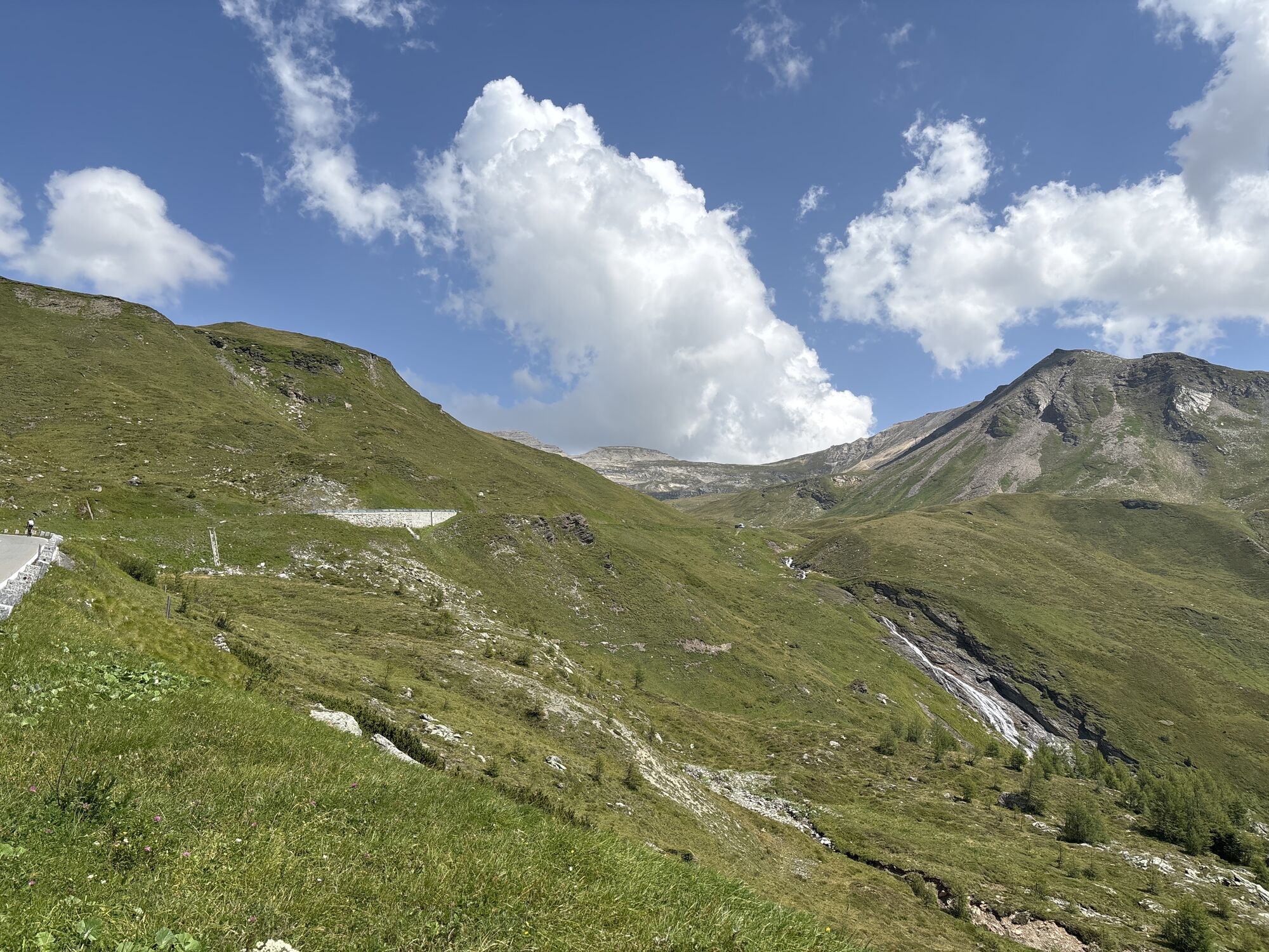
The Grossglockner High Alpine Road is undoubtedly one of the best-known and most popular mountain pass roads in Europe. Equally popular with road cyclists and those traveling this road by motor vehicle. Therefore, in summer there is increased traffic and a respectful coexistence between motorized and non-motorized road users is required! 48 km and 36 hairpin bends have to be overcome on the Grossglockner High Alpine Road alone; overall, the circular route of around 170 km is an absolute challenge even for ambitious athletes!

Technologie
4 / 6
Stav
6 / 6
Krajina
5 / 6
Zkušenosti
5 / 6
Nejlepší roční období
Led
Úno
Bře
Dub
Kvě
Čen
Čec
Srp
Zář
Říj
Lis
Pro
Autor
Poskytuje Kärnten
Logo
Sdílet prohlídku
Mapa
Grossglockner High Alpine Road
heavy
Silniční kolo
171.75 km
Chyba
Došlo k chybě. Zkuste to prosím znovu.
Naposledy sledované před 3 týdny
Informace o trase
Trasa

Winklern - Heiligenblut - (Franz-Josefs-Höhe) - Hochtor - Fuscher Törl - (Edelweißspitze) - Fusch - Taxenbach - Lend - Bad Hofgastein - Bad Gastein - Böckstein - Mallnitz - Obervellach - Stall - Winklern

Bezpečnostní pokyny
Generally heavy excursion traffic on the Grossglockner High Alpine Road.


Další informace a tipy
Úroveň obtížnosti

4

Další informace
www.grossglockner.at

www.oebb.at

Tipy

Driving the High Alpine Road at the edges of the day

Oceňování
3.5
5
(1)
4
(2)
3
(0)
2
(0)
1
(1)
Napište recenzi

Recenze pomáhají ostatním uživatelům při výběru dalšího dobrodružství. Hodnoťte prosím pouze prohlídku, nikoli počasí nebo svačinu.

Výběrem jedné z hvězdiček ohodnotíte prohlídku
Špatné turné
Slabé turné
Průměrné turné
Dobrá prohlídka
Vynikající prohlídka
Pěší turistika a stopování

Pěší turistika a stopování

ke stažení pro iOSstáhnout pro Android
Pěší turistika a stopování
Více než 550.000 návrhů výletů, podrobné mapy a intuitivní plánovač tras dělají z aplikace nezbytnou výbavu pro všechny milovníky přírody.
bergfex