







E-biking in Seeboden - panoramic route into the Maltatal

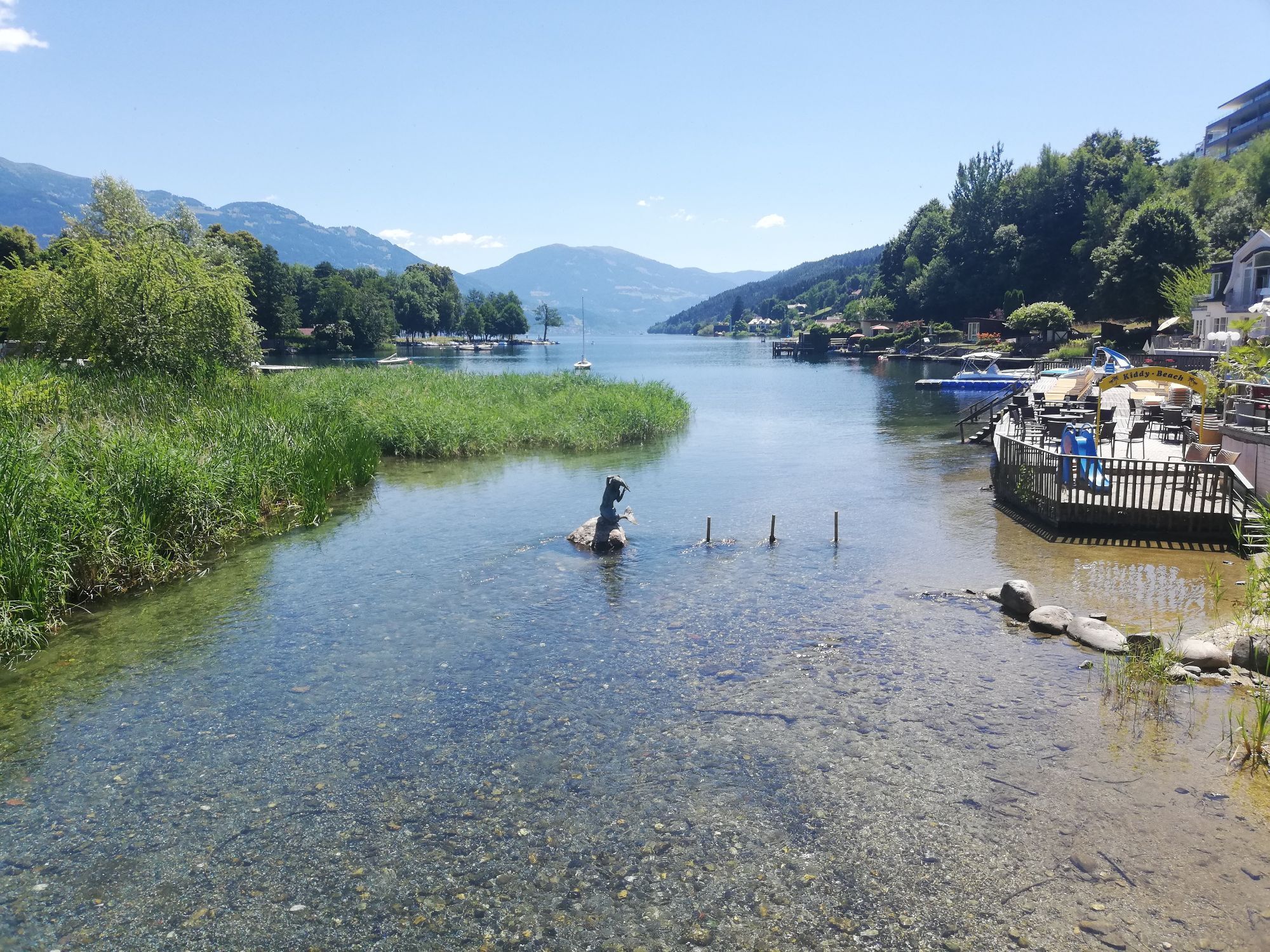
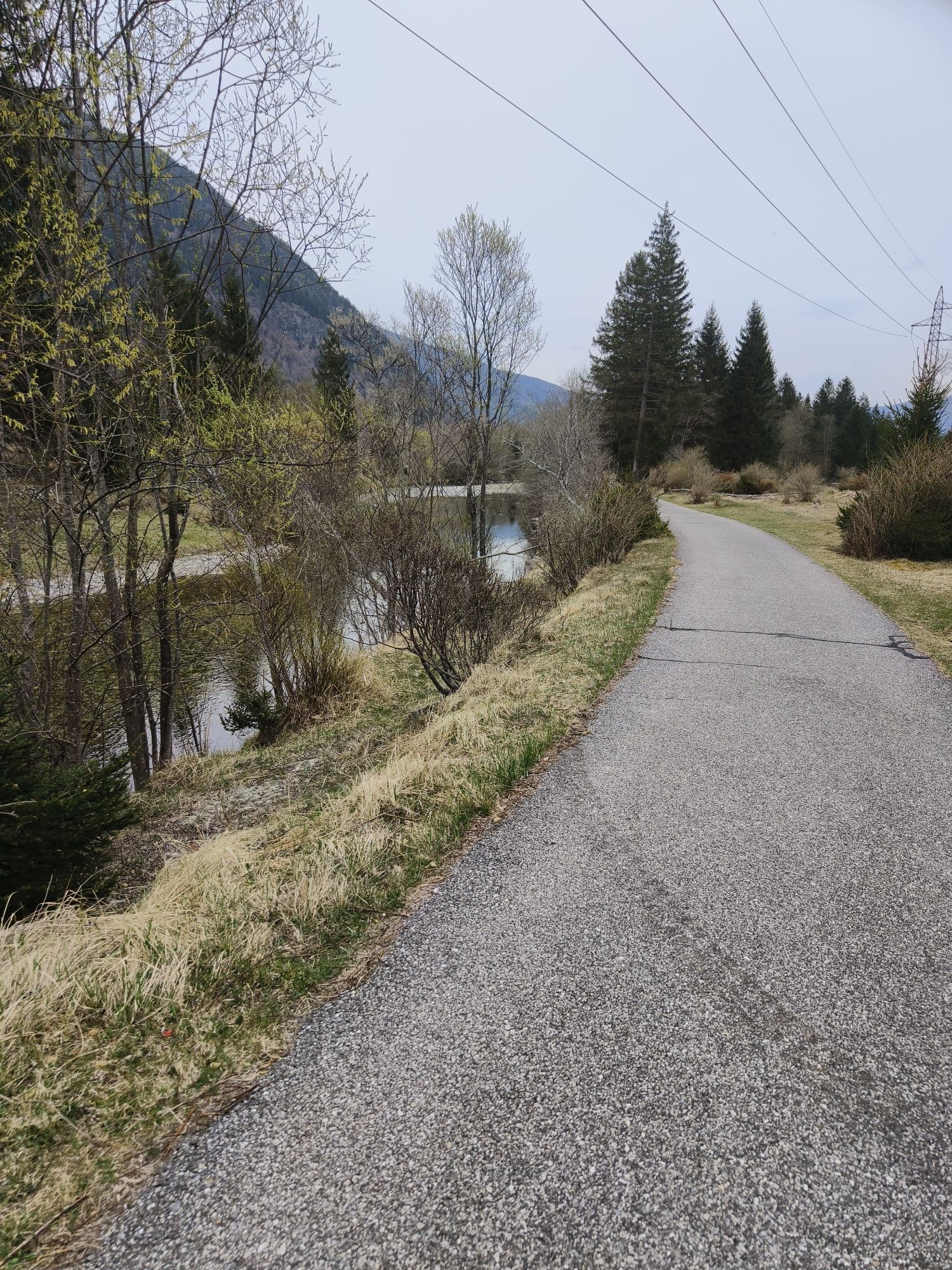
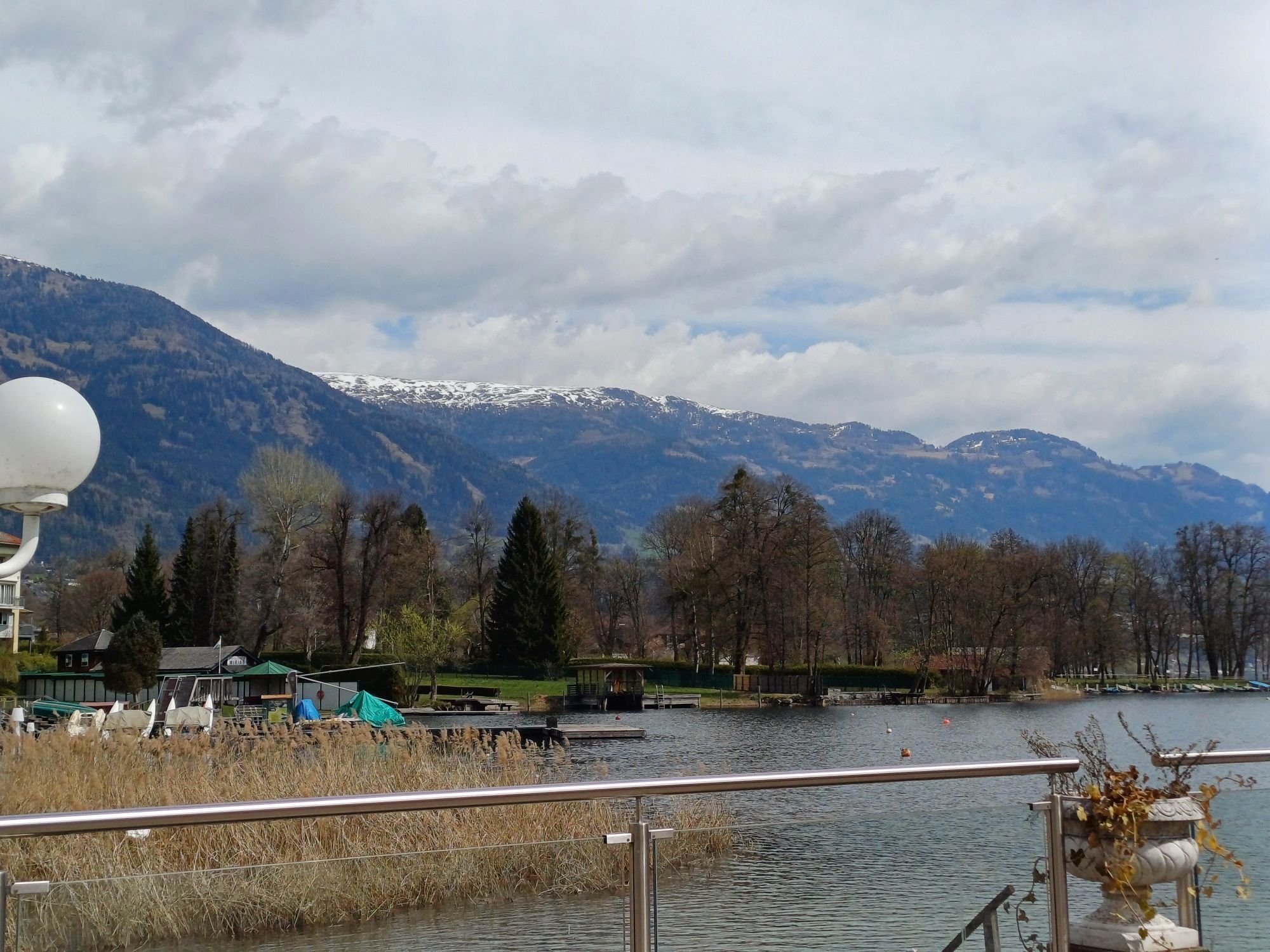
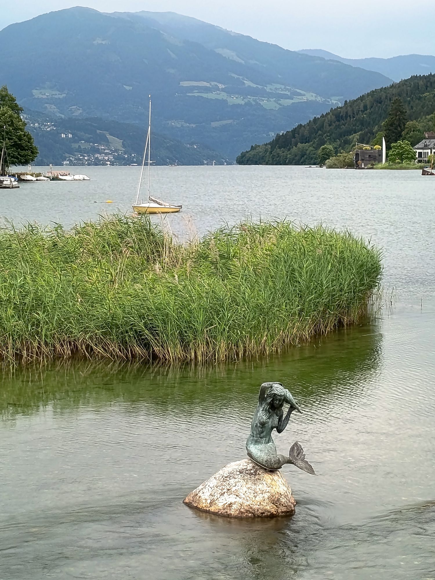

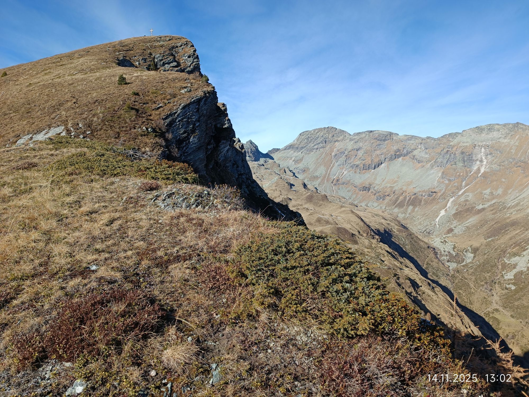
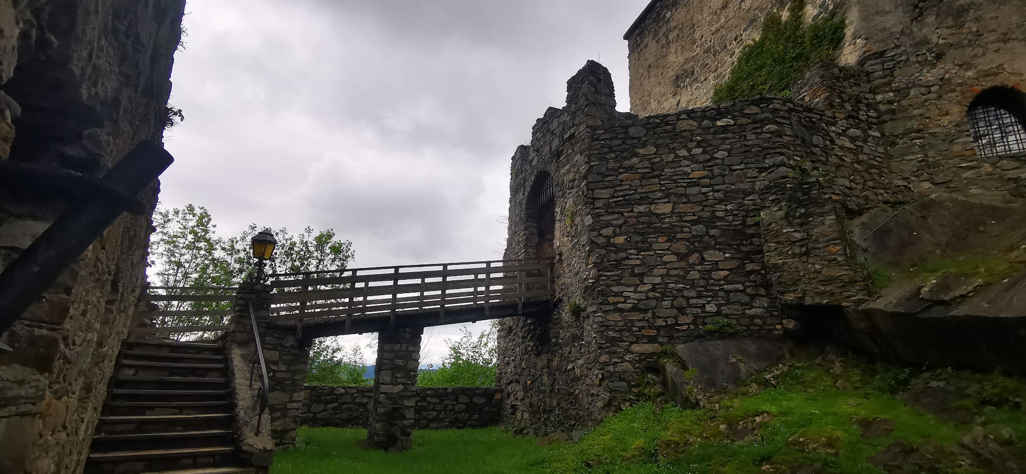
From the starting point at Seeboden (lake center with e-bike charging station), it goes quickly up to the sunny plateau to Treffling and over the Trefflinger field into the Platzgraben. Soon we reach the...
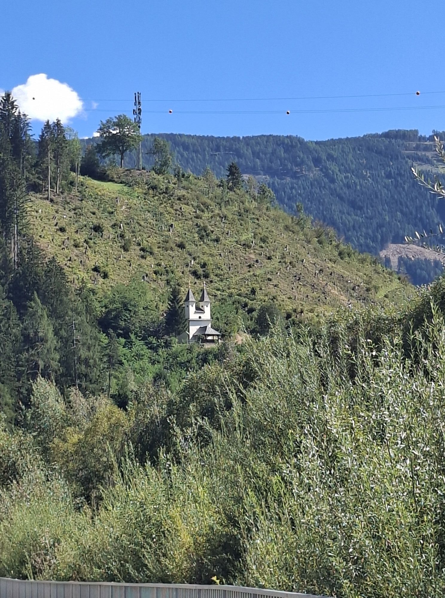
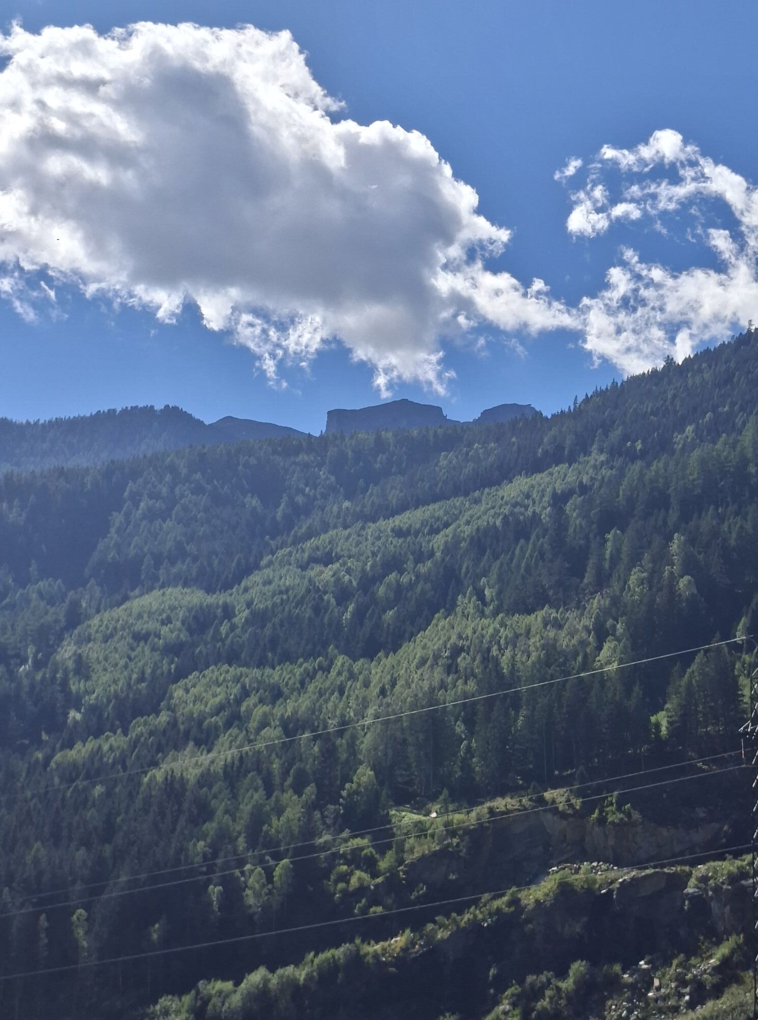
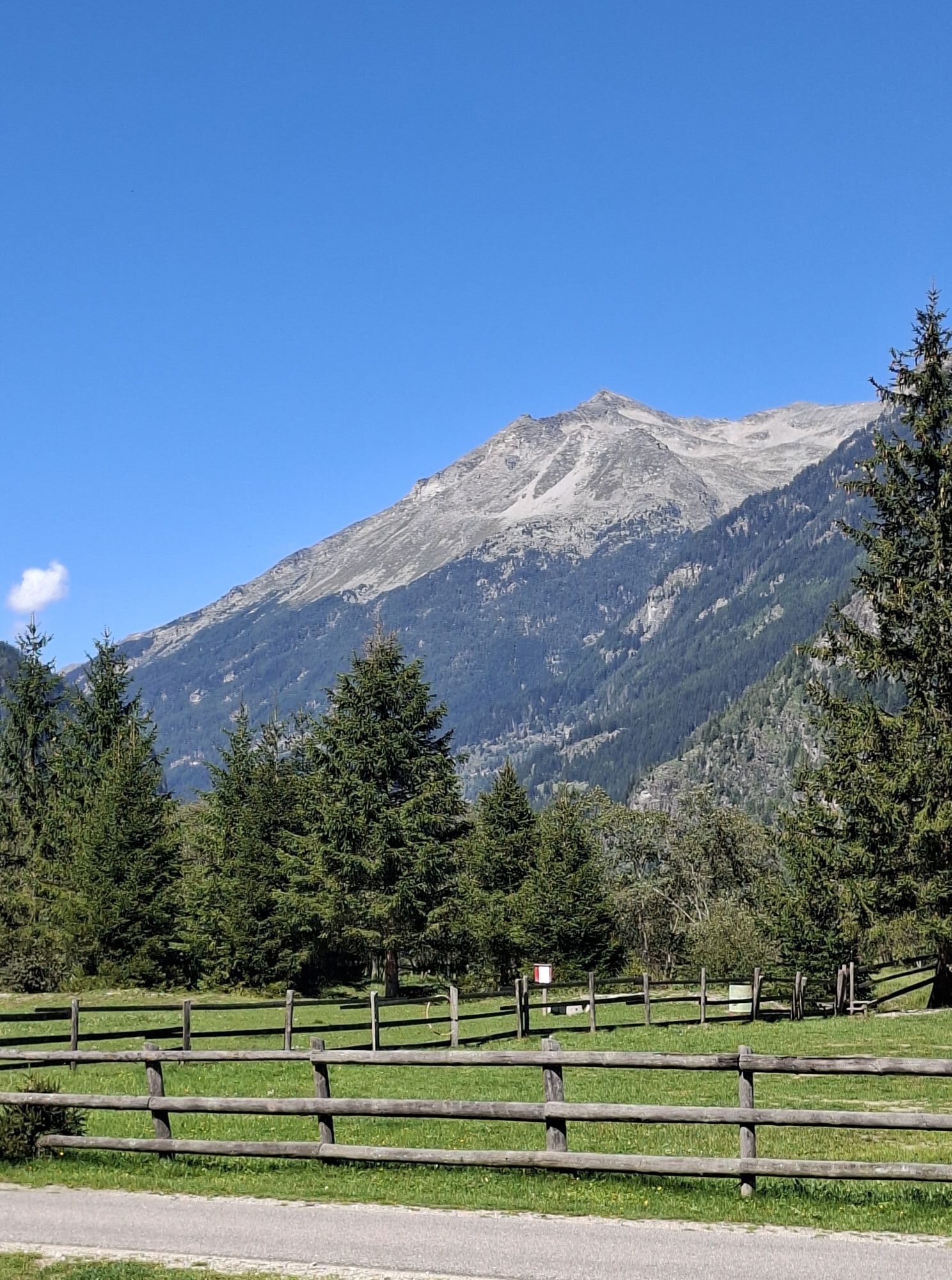
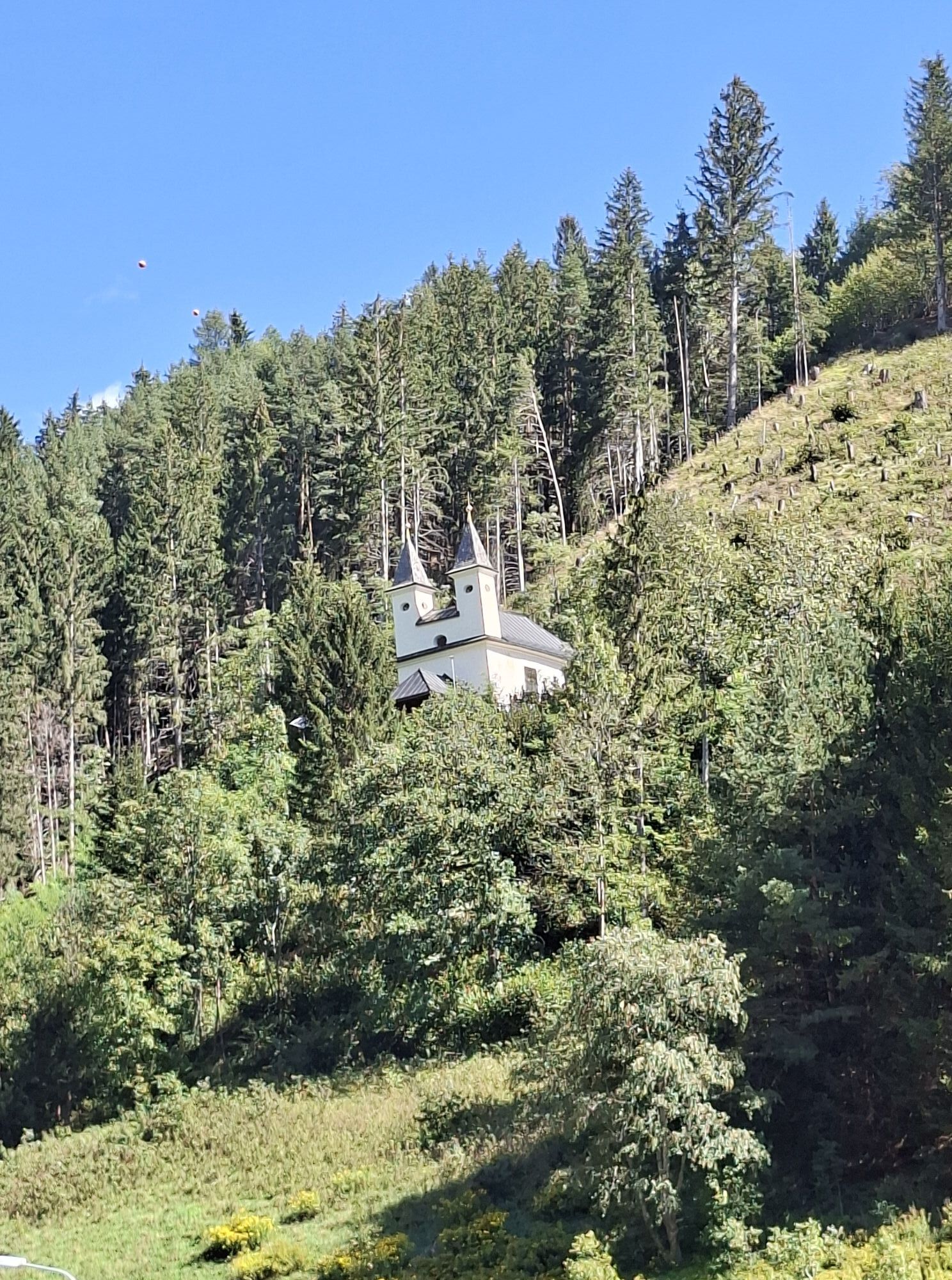
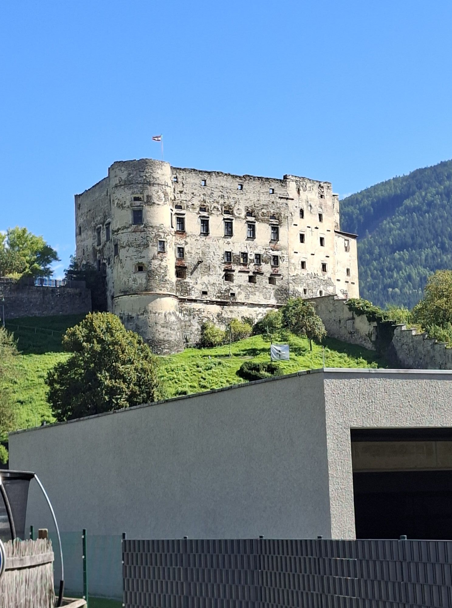
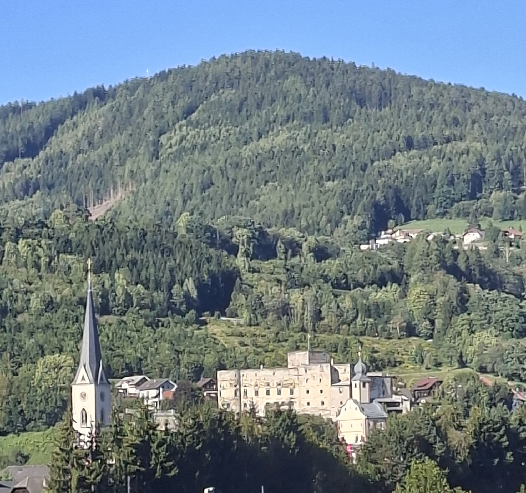
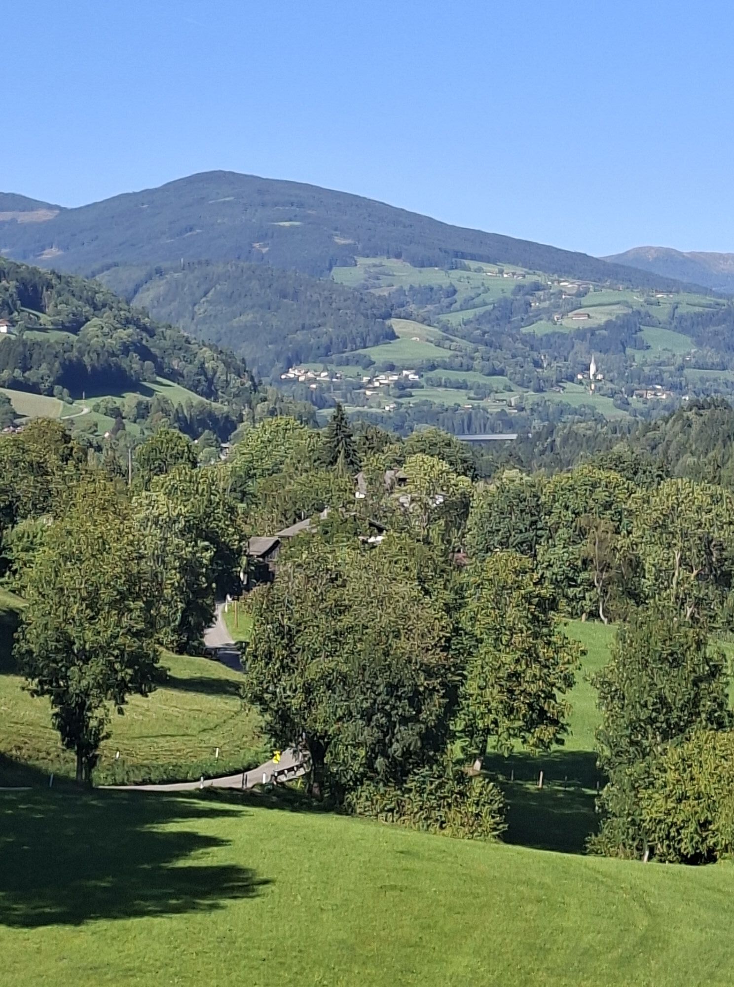
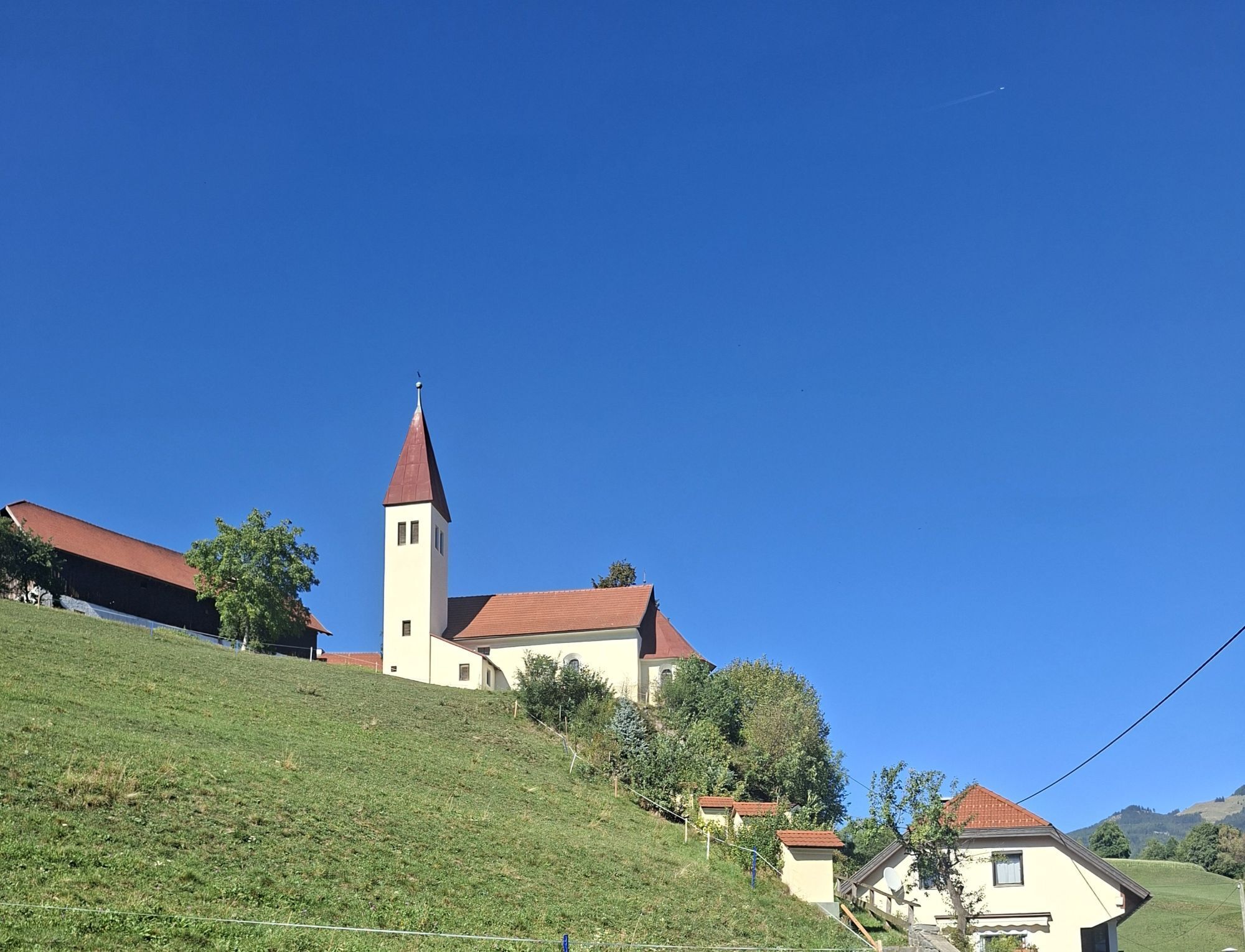
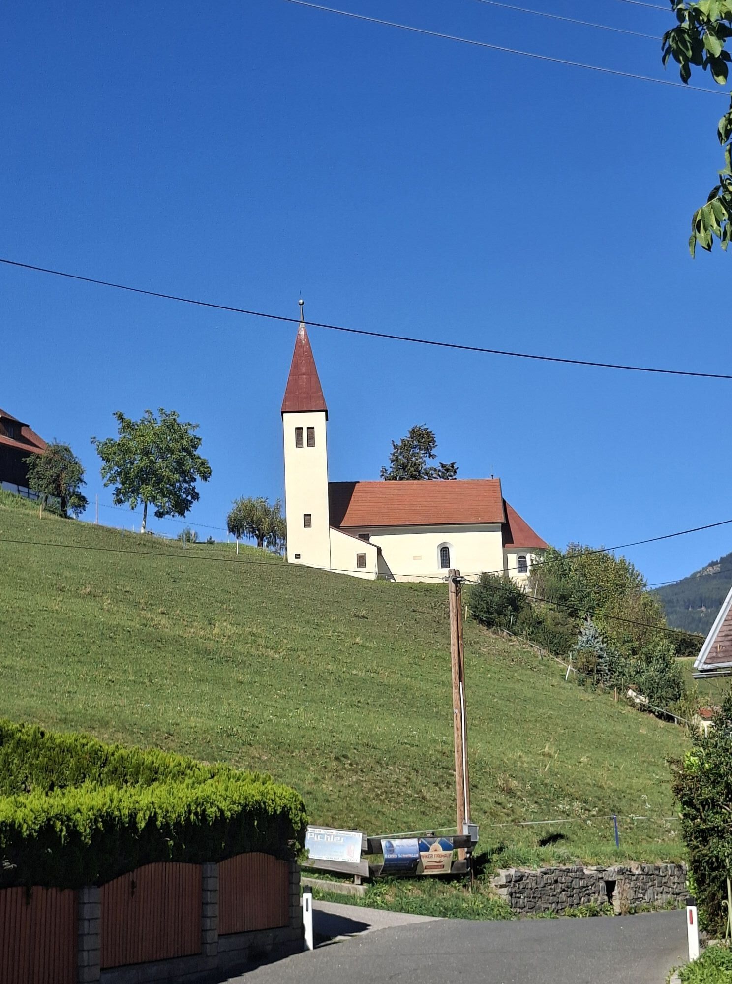
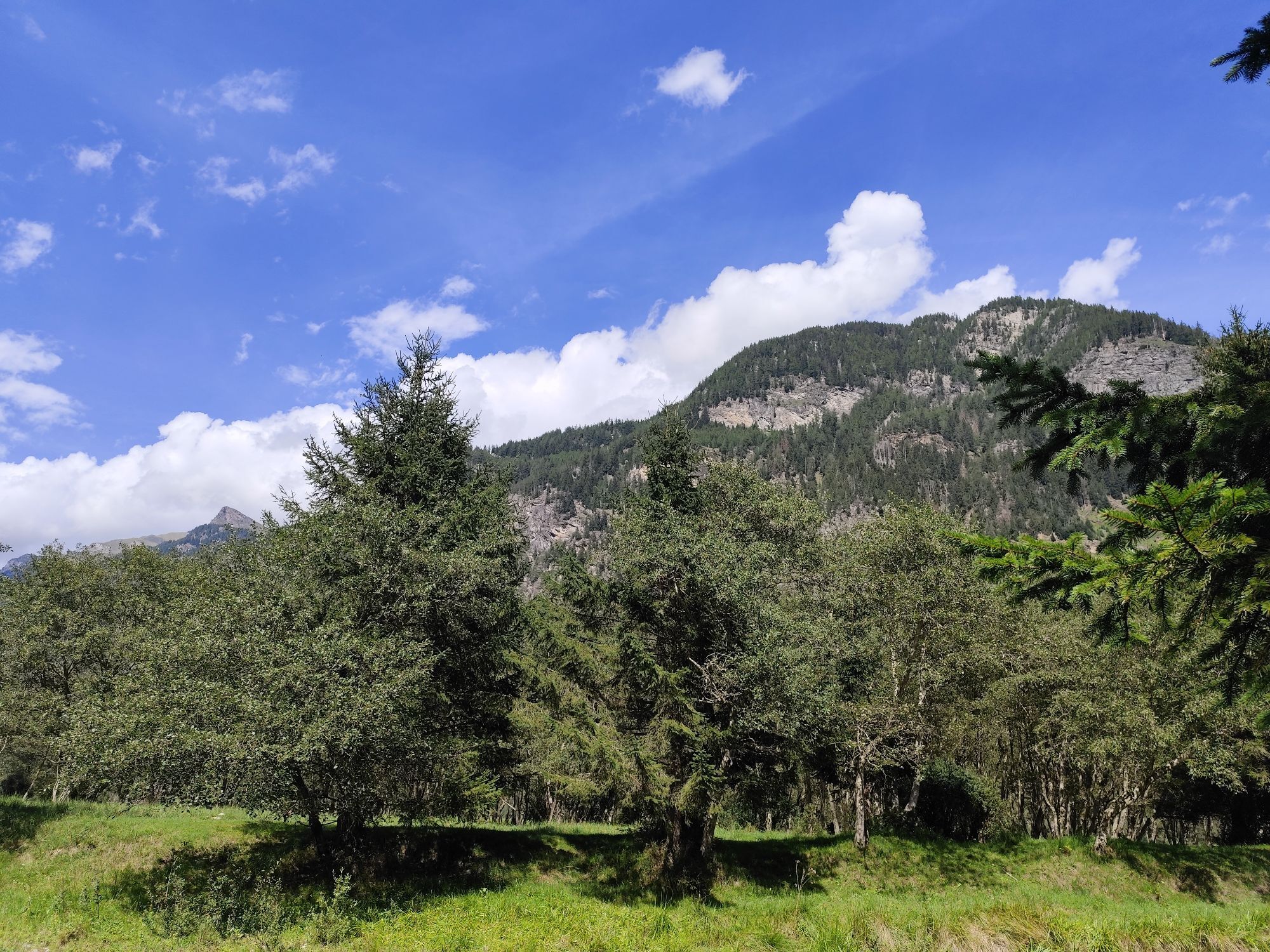
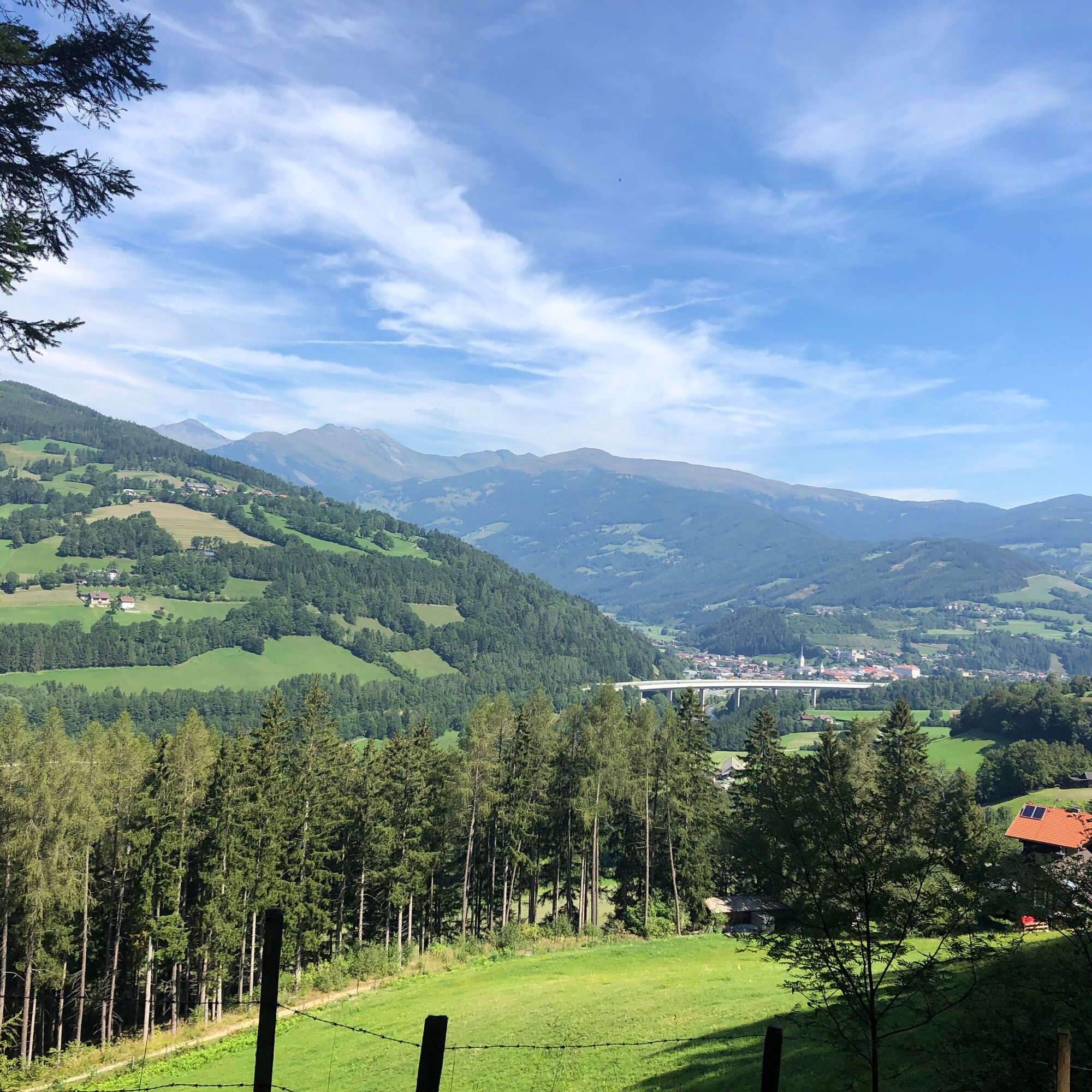
From the starting point at Seeboden (lake center with e-bike charging station), it goes quickly up to the sunny plateau to Treffling and over the Trefflinger field into the Platzgraben. Soon we reach the small villages high above Gmünd. We are offered a wonderful view of the medieval town and the Hohe Tauern.
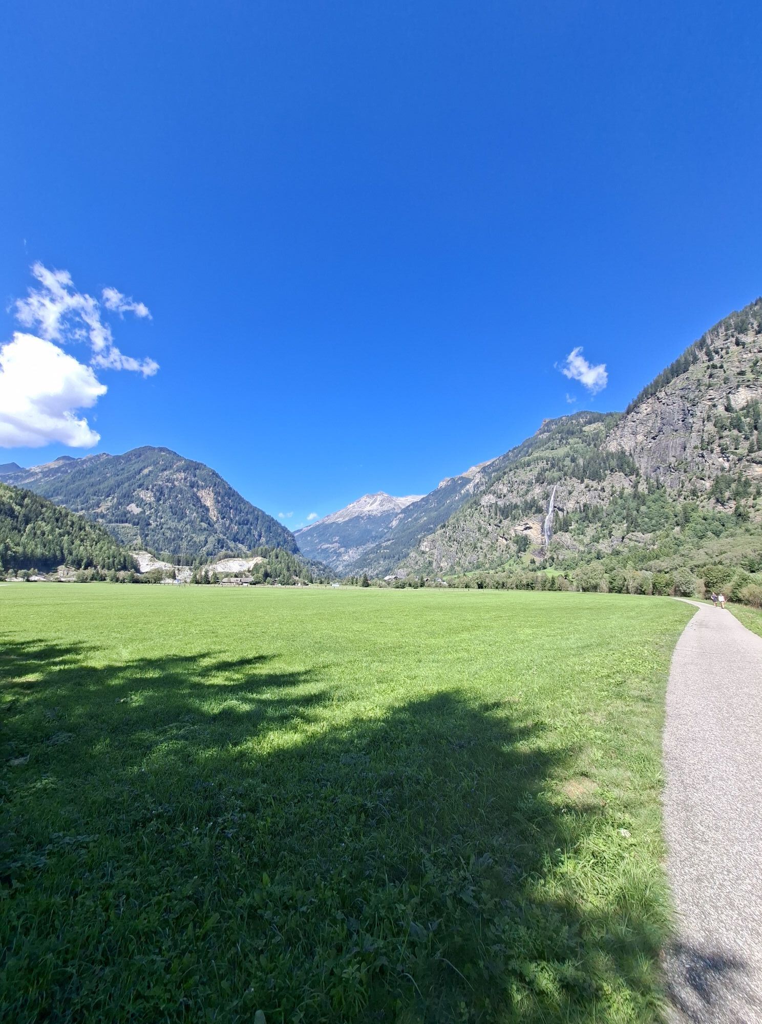
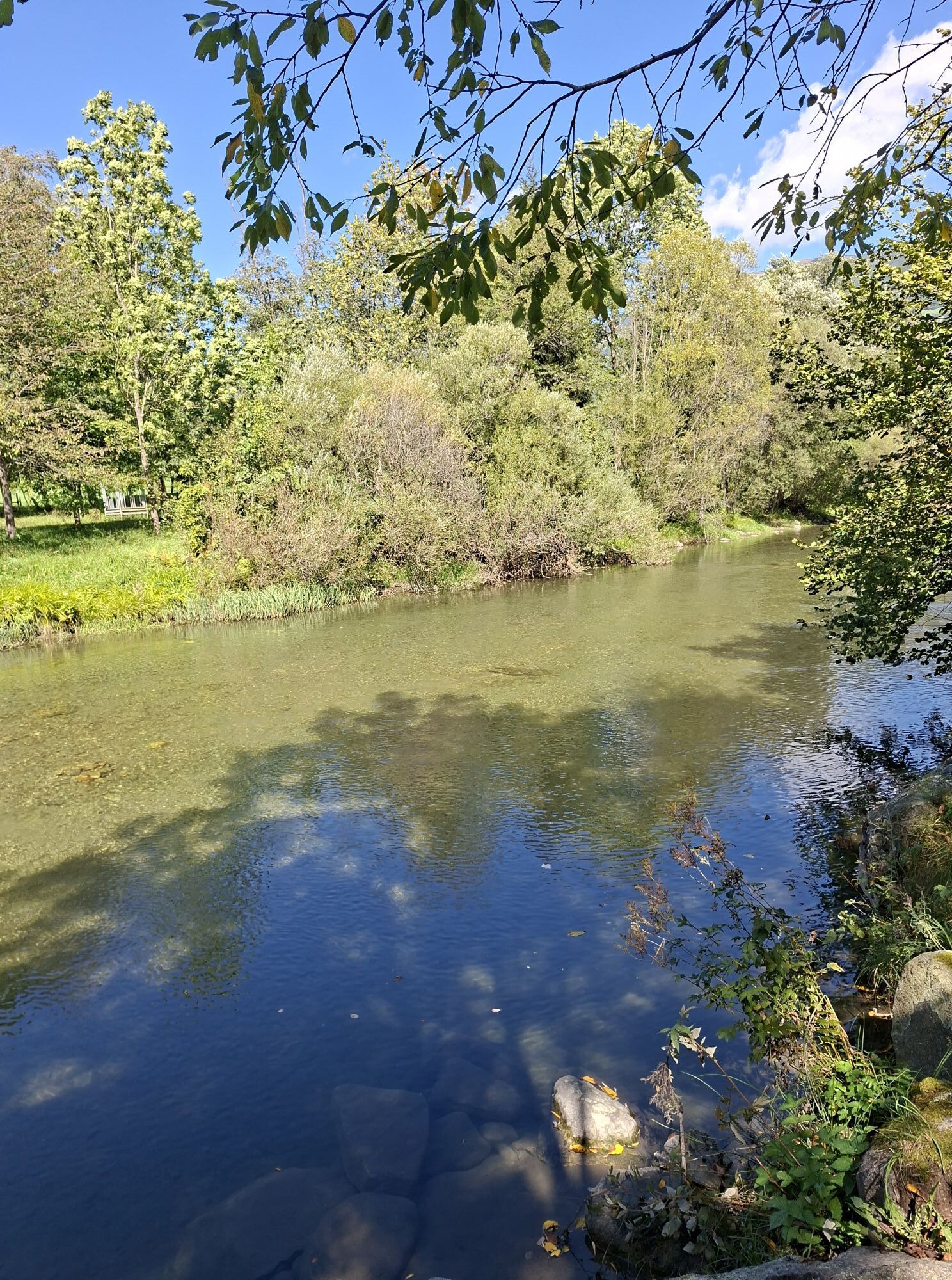
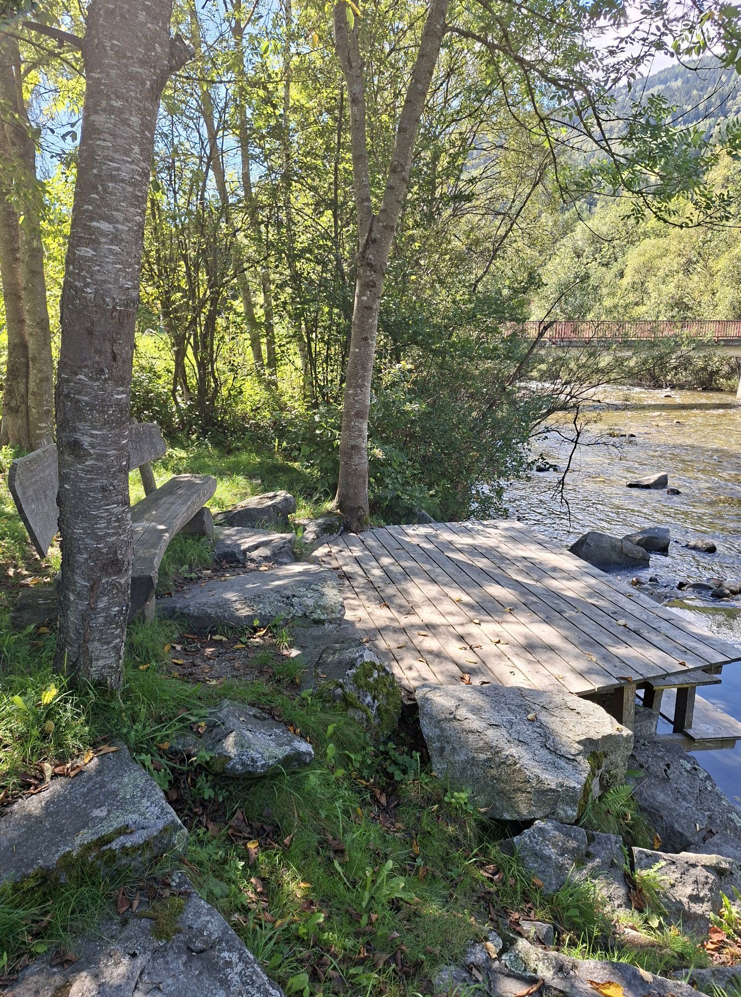
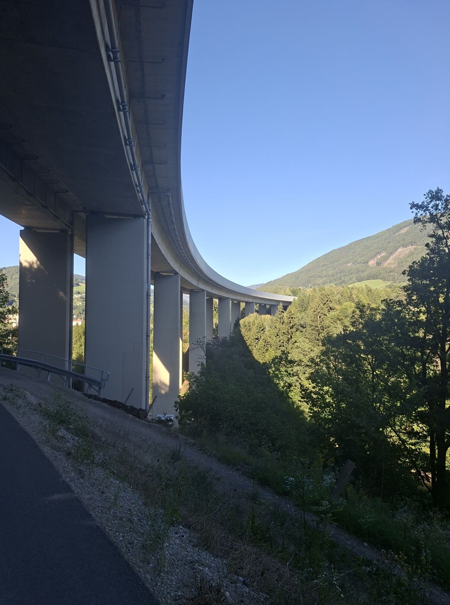
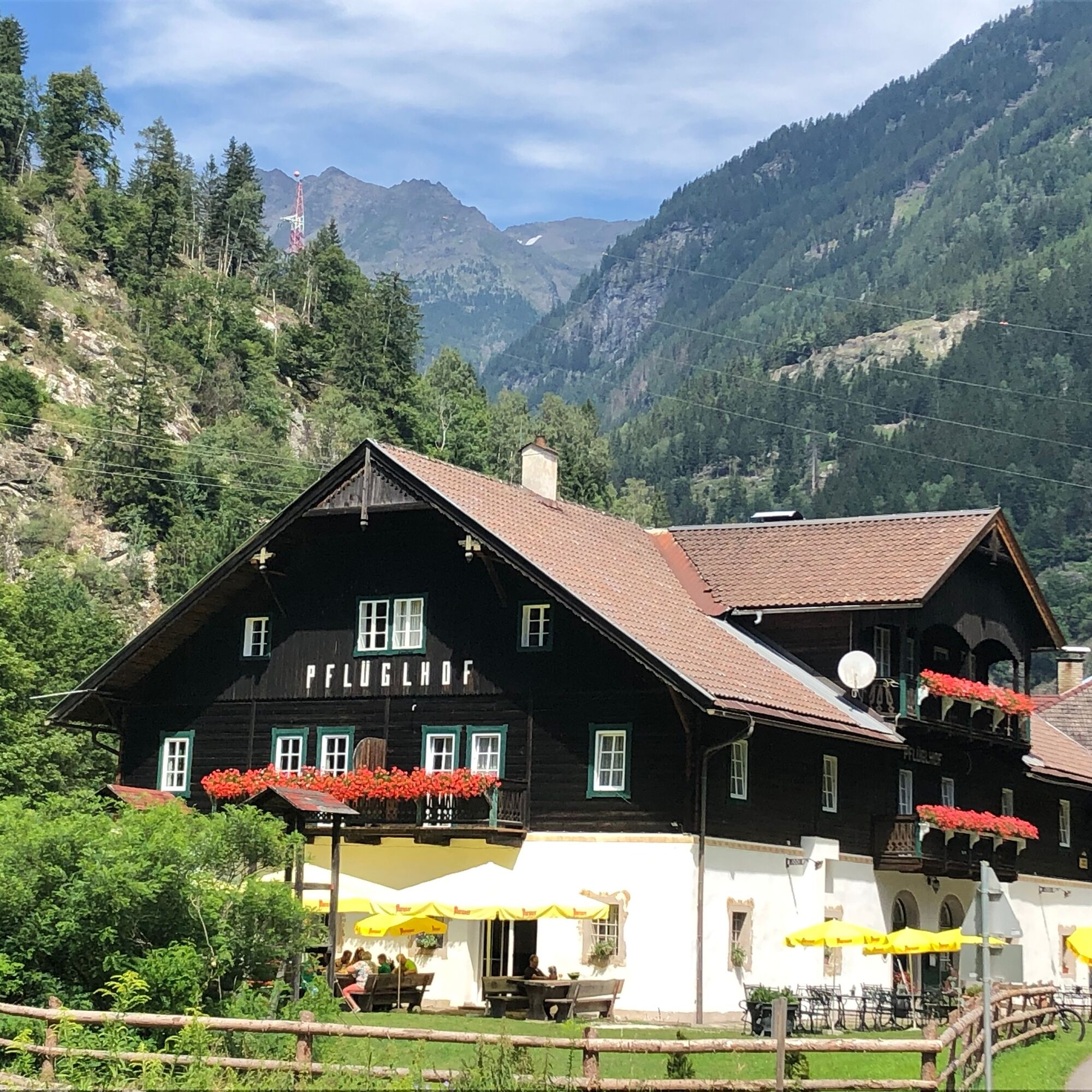
From Gmünd, we follow the newly created bike path on the orographically left side (!) of the Malta with wonderful small rest stops up to the Pflüglhof guesthouse. Those who still have the desire and energy can cycle a few kilometers further to the toll station of the Maltatal high alpine road.
The return route leads back to Gmünd, then out along the Lieser valley to Lieserhofen. We follow the old Roman road via Radl, Trebesing, Oberallach and Altersberg to Lieserhofen and then return to the lake center again via the lake outlet.

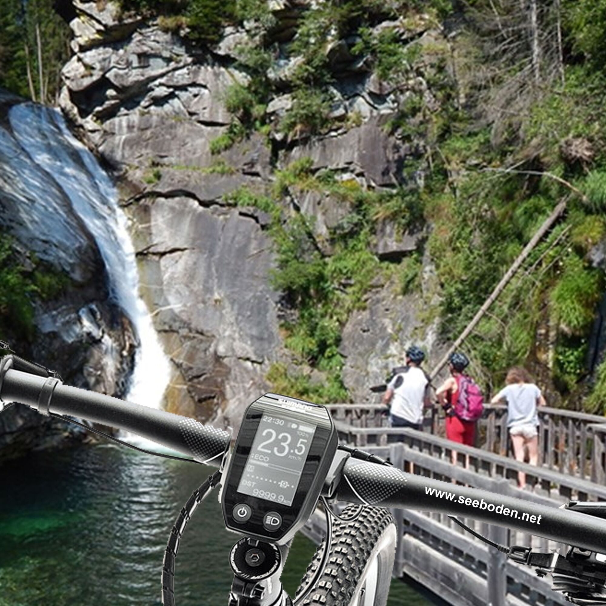
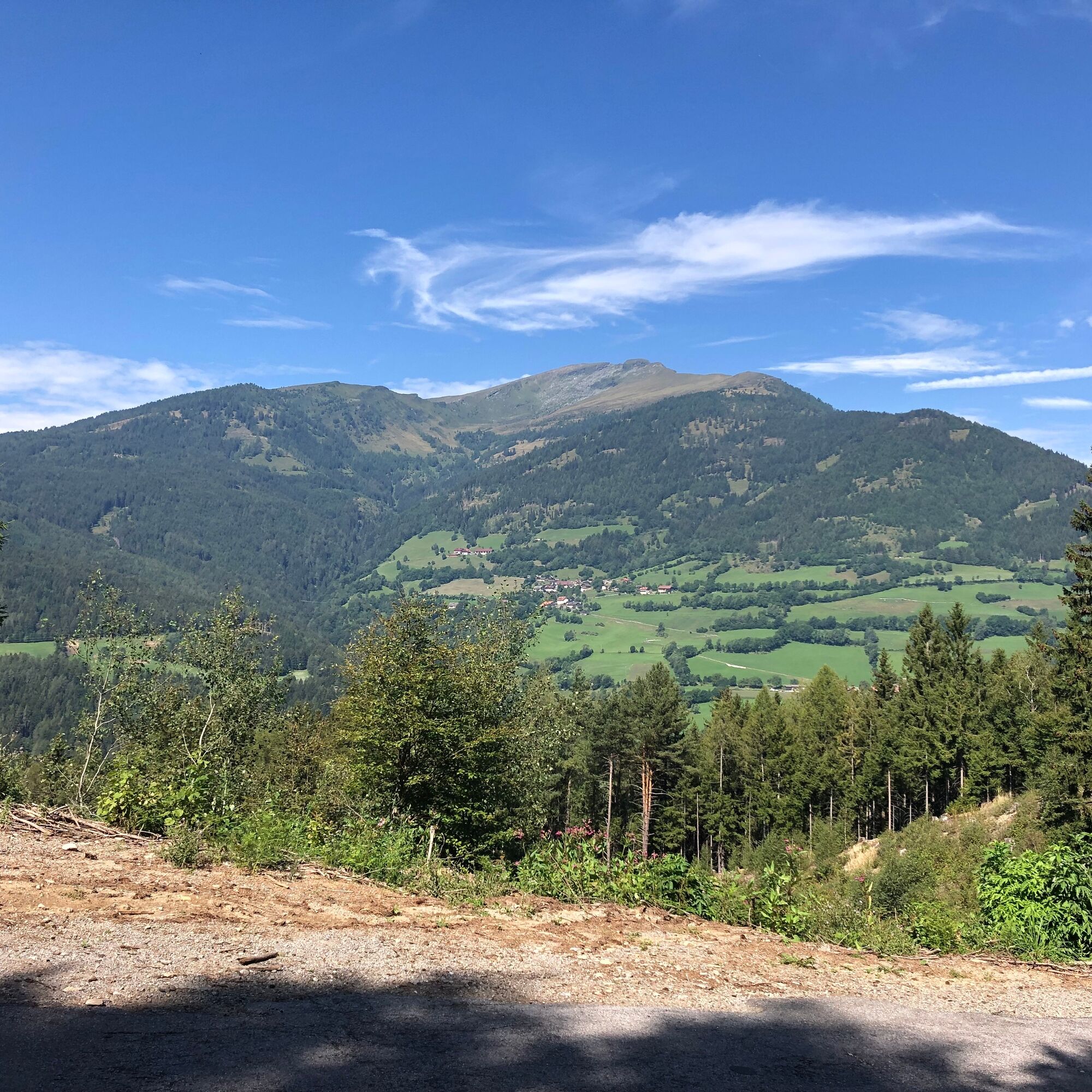

Starting point Lake Center Seeboden - Hauptstraße - roundabout - Trefflinger Straße - Dullhöhenweg - Auf der Raun - Kötzing - Unterhaus - Burg Sommeregg - Treffling - Trasischk - Platz - Perau - Gmünd - Karnerau - Fischertratten - Gries - Schlatzingerau - Koschach - Pflüglhof - (Fallerhütte) - Gmünd - Radl - Trebesing - Oberallach - Altersberg - Patriari - Lieserhofen - Roman road - Lurnfelder Straße - Loibenigweg - Katschbergstraße - Brückenwirt - bike path to Seeboden - lake center
In addition to all the equipment you need for your bike, you should always carry a small first aid kit for your own safety.
You will partly ride on lightly trafficked side roads. Nevertheless, pay attention to car traffic and agricultural vehicles.
Your BIKE EXPERT in Seeboden
Bike-Shop Seeboden
Hauptstraße 36
9871 Seeboden on Lake Millstatt
Tel: +43 664 2162041
www.bikeshopseeboden.at
Gmünd is worth a visit: the flair of the artist town will fascinate you.
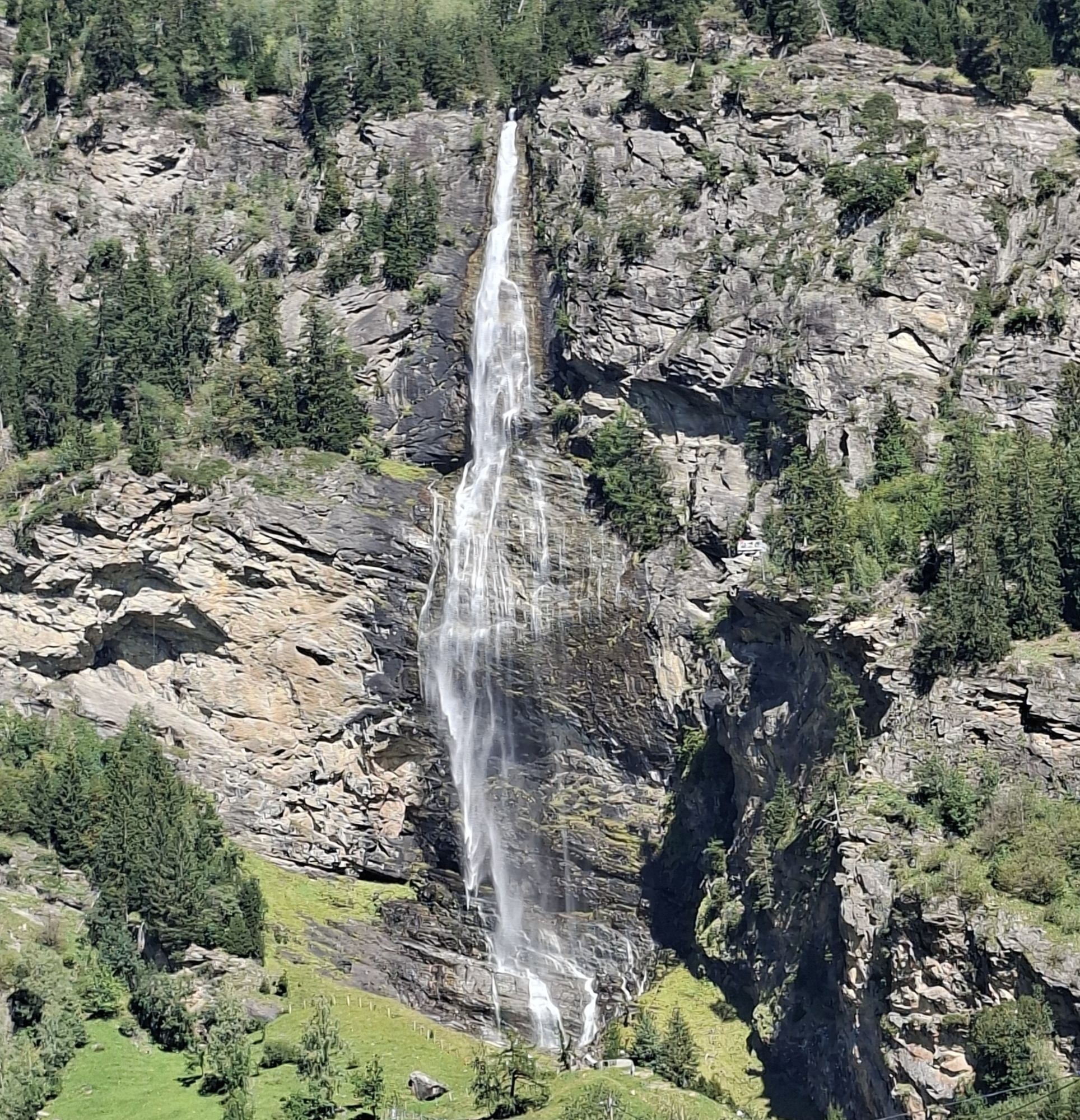
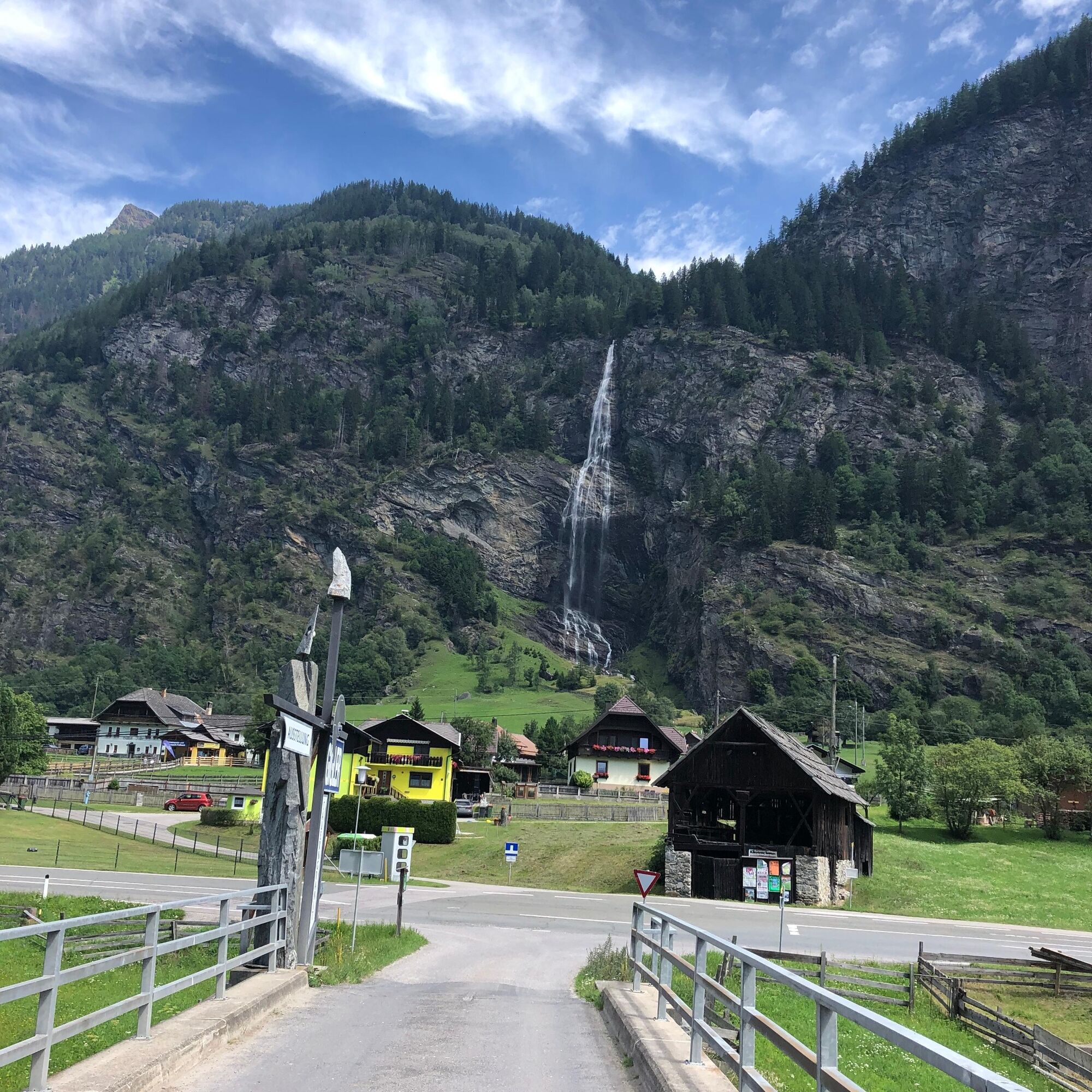
And almost at the end of the bike path in the Maltatal, the Fallbachfall will amaze you, the largest waterfall in Carinthia with a 200 m drop.


Webové kamery z prohlídky

Oblíbené prohlídky v okolí
- 4.8
19, 97 Herzerl trail to the Gamskogelhütte
světloTematická stezka 3.83 km - 4.3
Pritzhütte
světloTuristika 3.38 km - 4.7
Family bike ride along the bike path R9B Gmünd - Maltatal
středníJízda na kole 33.8 km - 5.0
Bergfried Hütte, Stoder 2433, Gmeineck 2592
heavyTuristika 8.23 km - 4.9
Bella Vista auf Hohe Leier
středníVia ferrata 15.6 km - 4.9
Ankogelgruppe - Säuleck 3.086m - Detmolder Weg mit zu viel Schnee
heavyVysokohorská turistika 23 km - 4.7
Kölnbreinspeicher bis Osnabrücker Hütte
světloTuristika 15.9 km - 4.6
Großer Hafner 3076m
středníTuristika 17.3 km - 4.6
97 circular hike Gontalrunde, Katschberg - Gontalscharte - Gontal
Turistika 9.33 km - 4.2
Kölnbreinspeicher zum Großen Hafner (3076m)
středníVysokohorská turistika 16.7 km
Pěší turistika a stopování


Nenechte si ujít nabídky a inspiraci pro vaši příští dovolenou
Vaše e-mailová adresa byl přidán do poštovního seznamu.





