







St. Veit - Wegscheide - St. Paul - Eggen - Simonhöhe- St. Urban - Liebenfels - St.Veit

Úroveň obtížnosti: 4
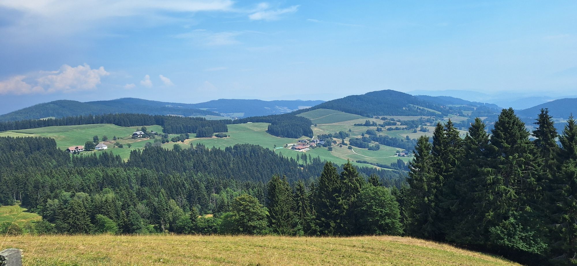
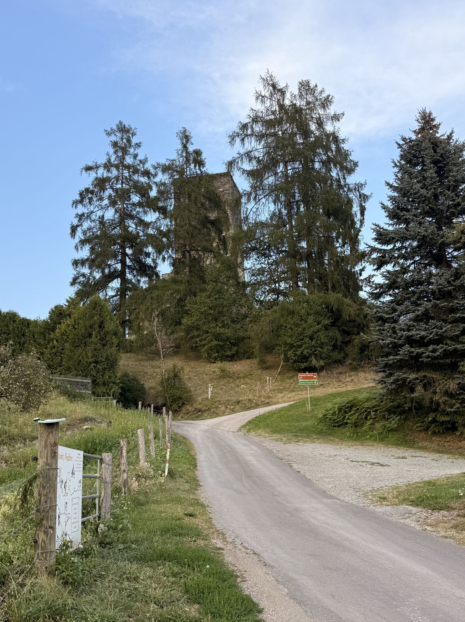
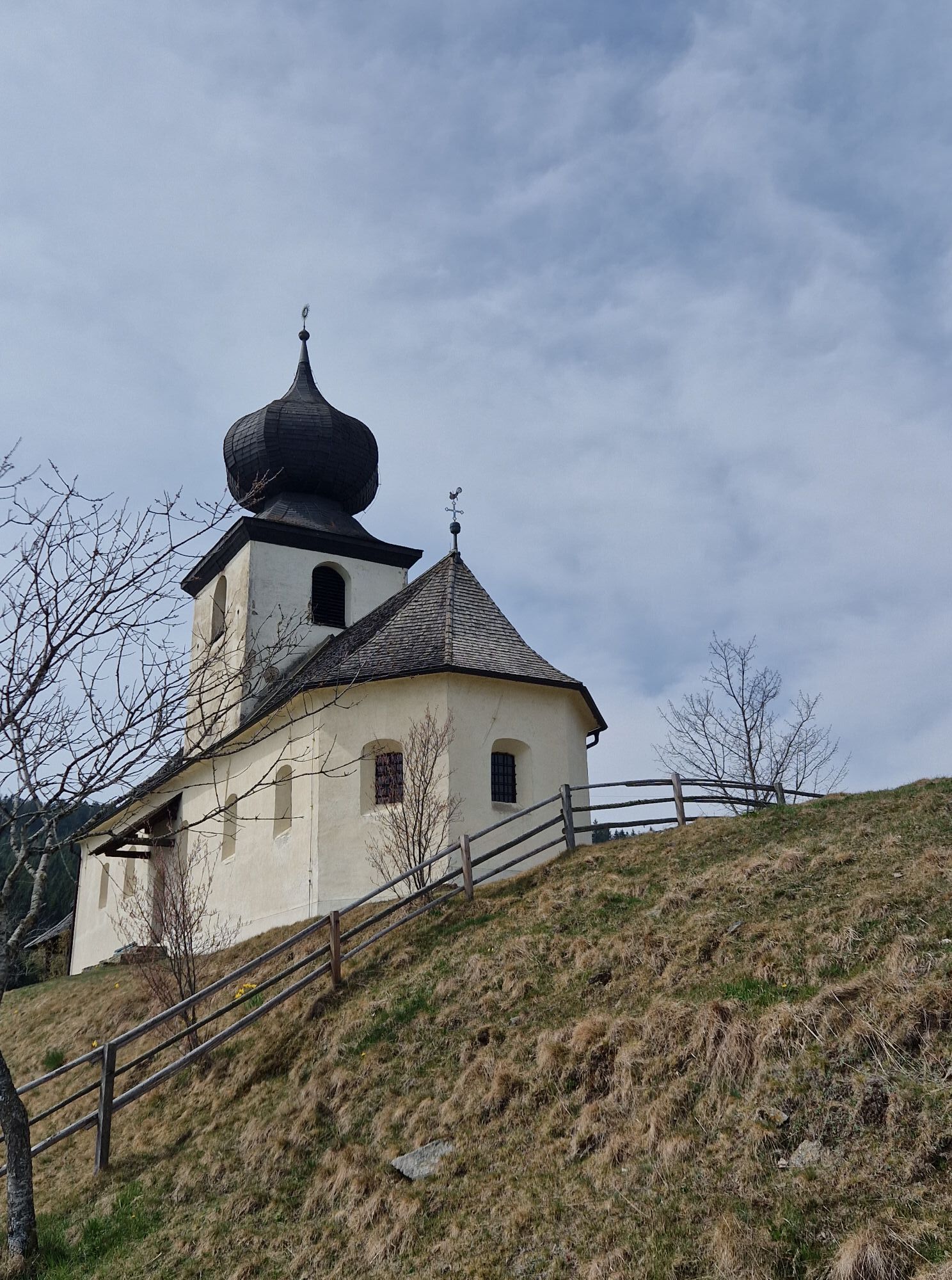
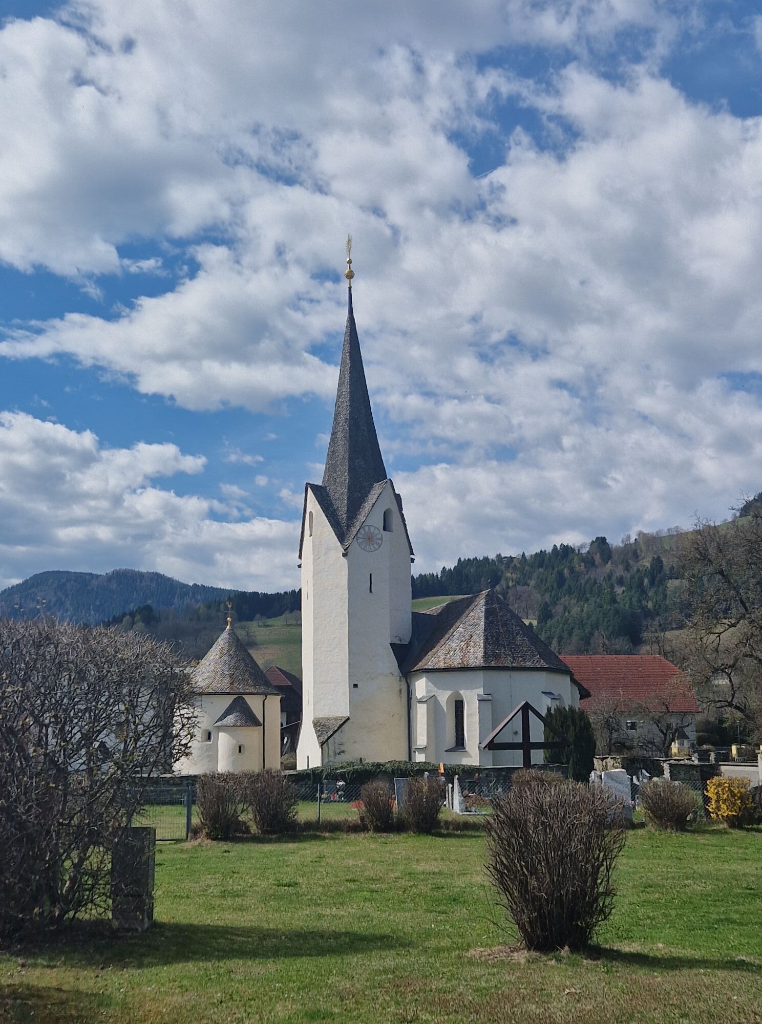
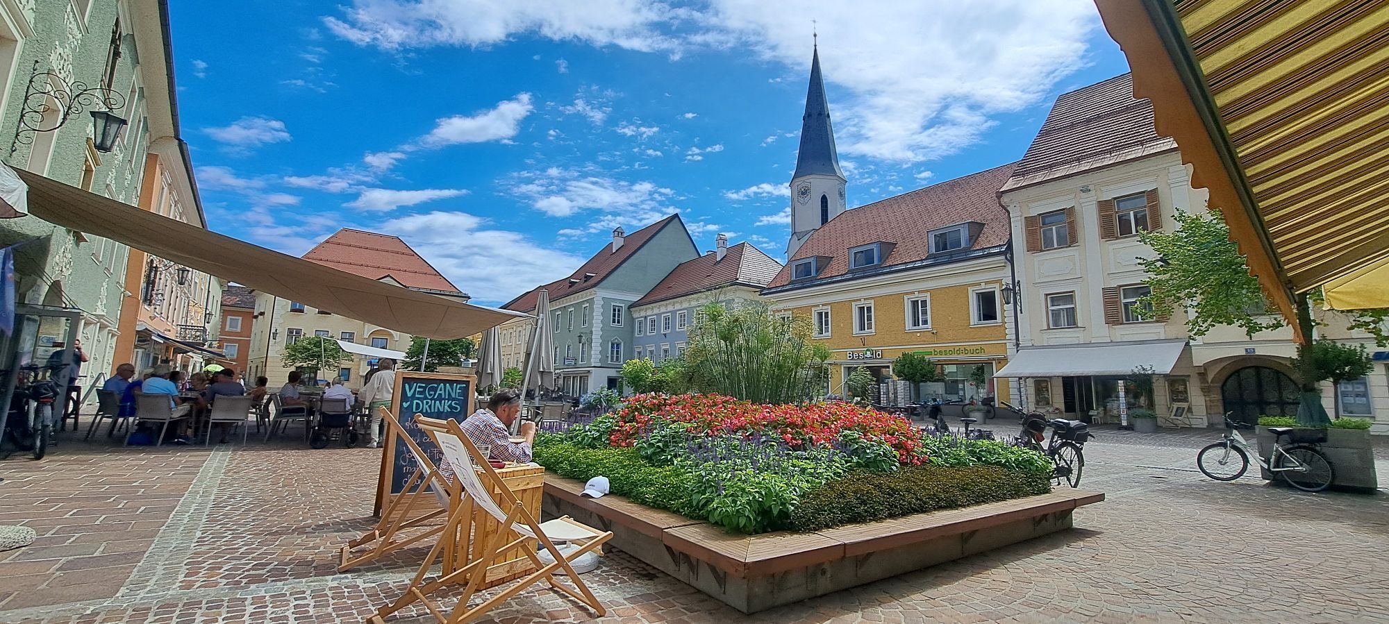
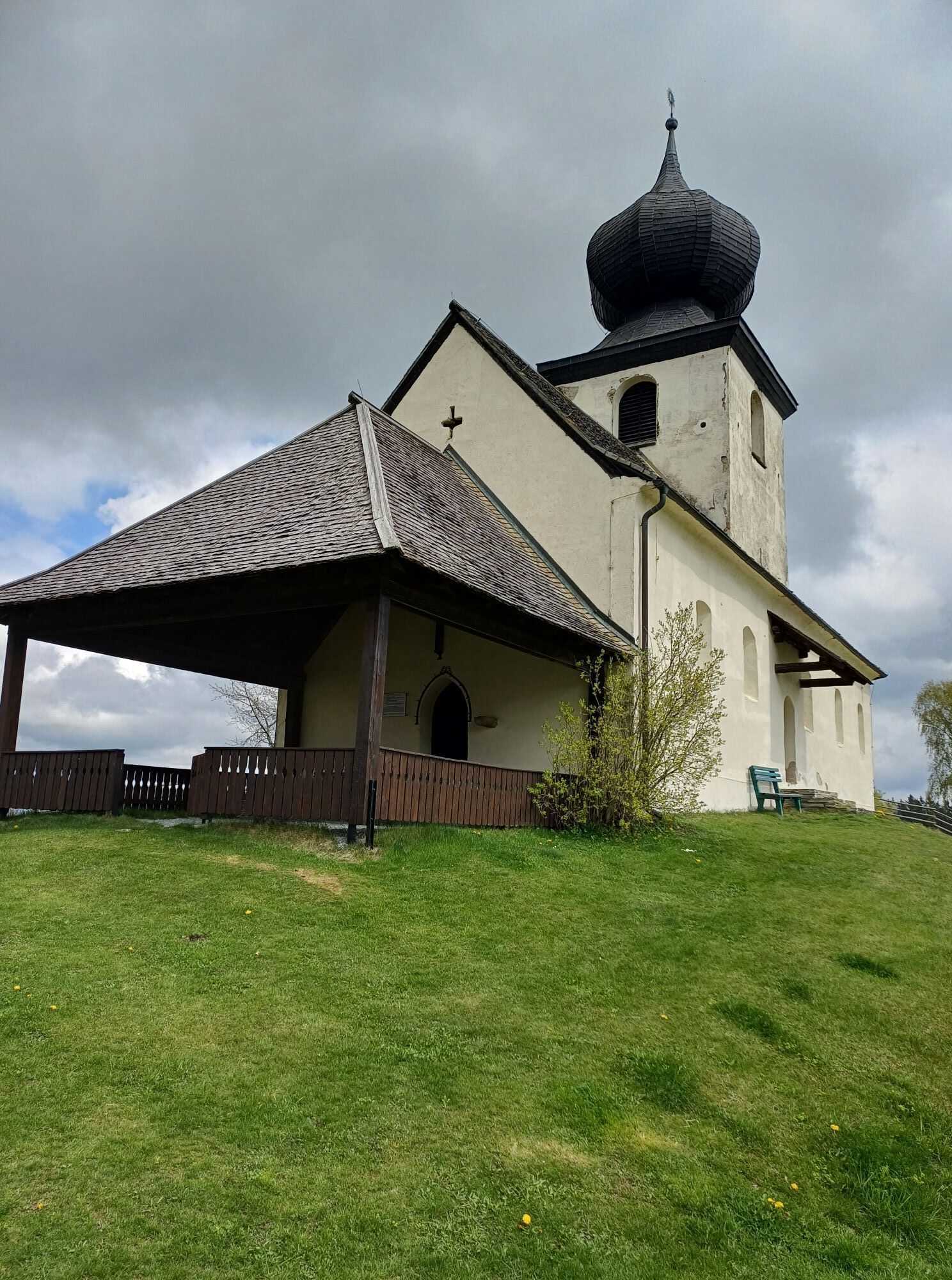


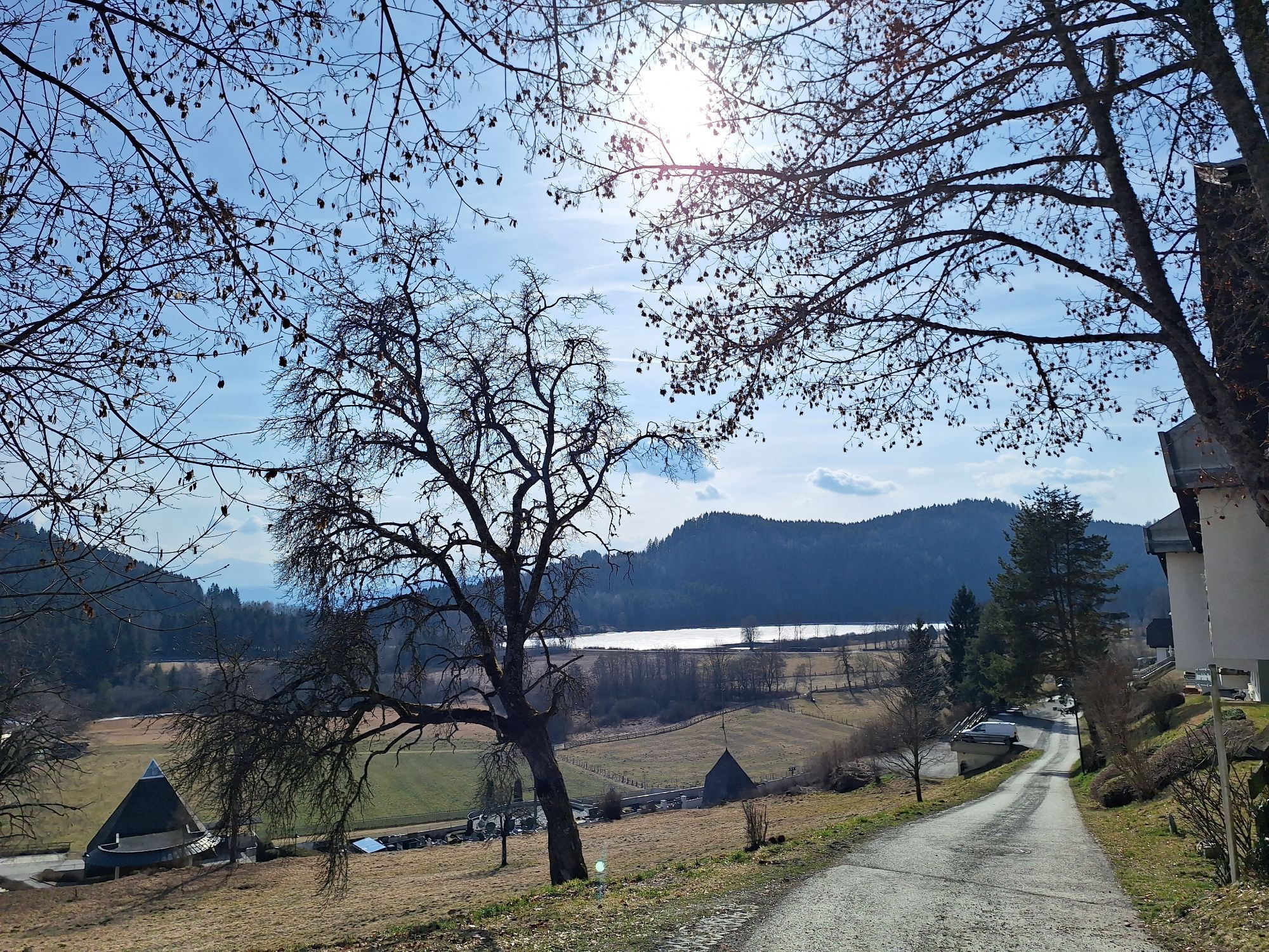
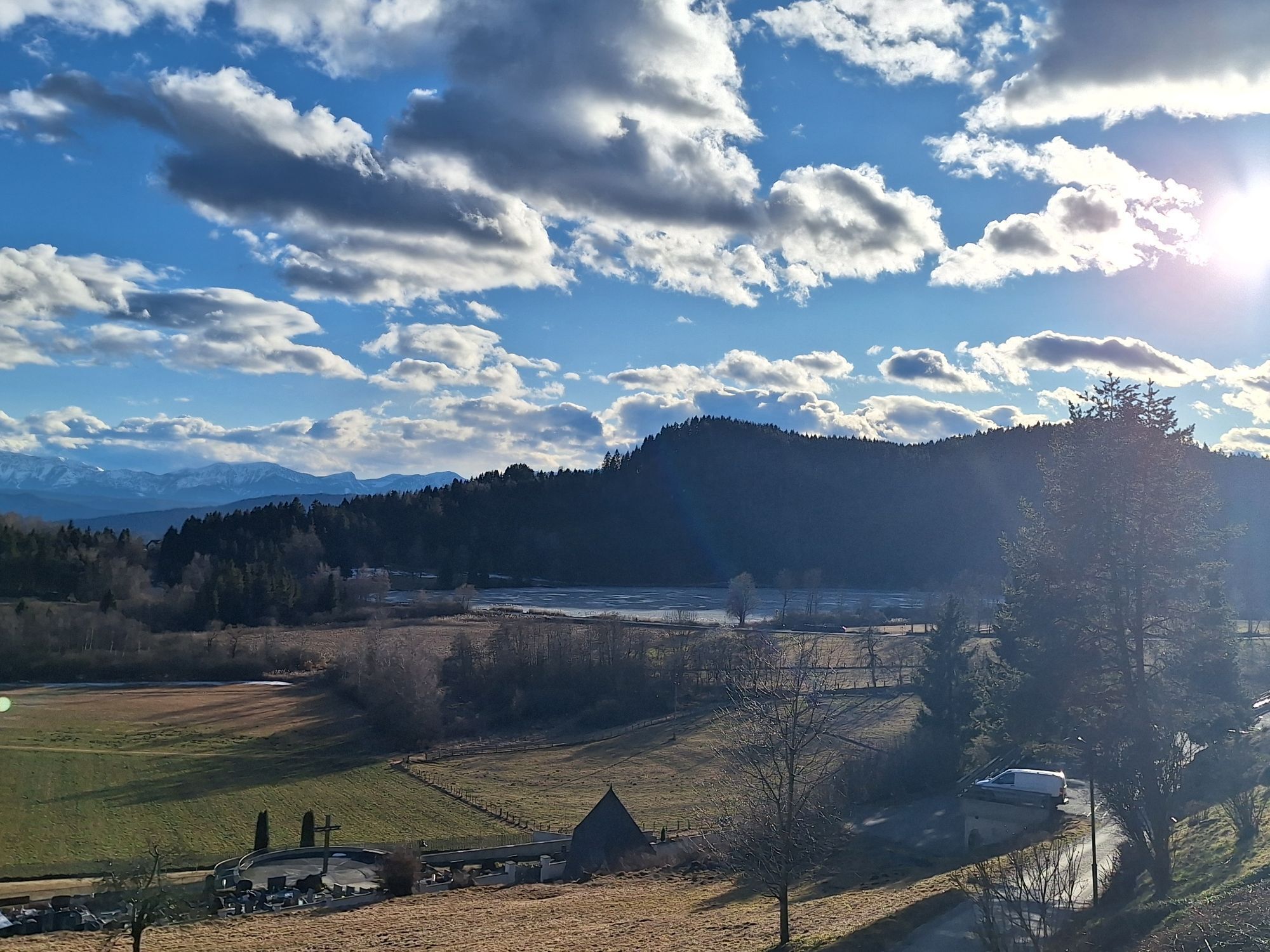
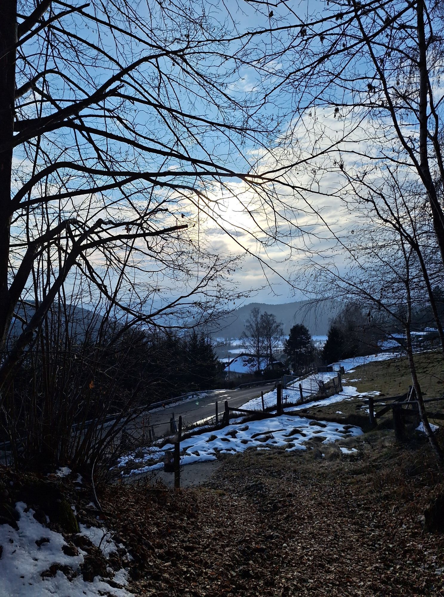
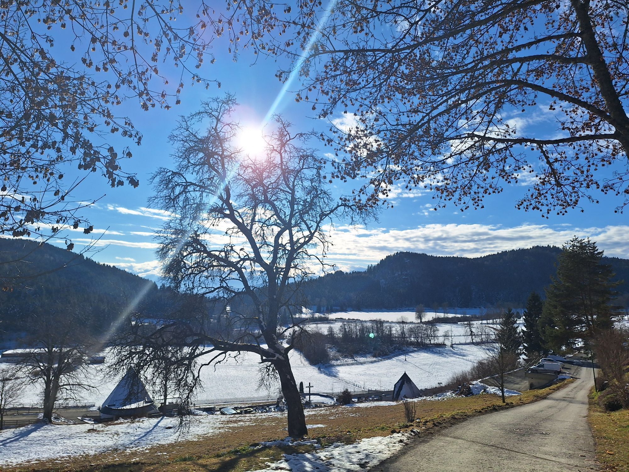
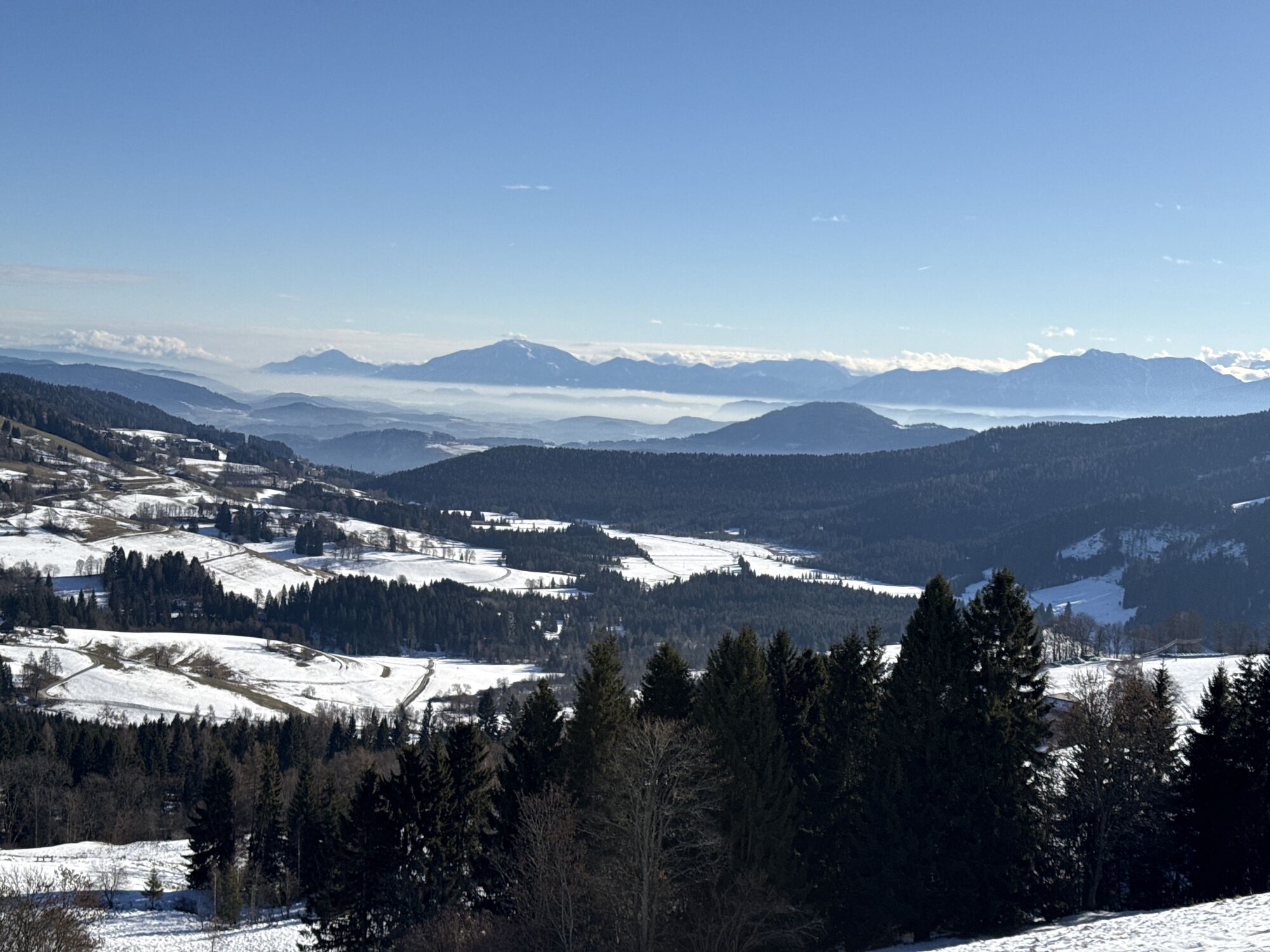
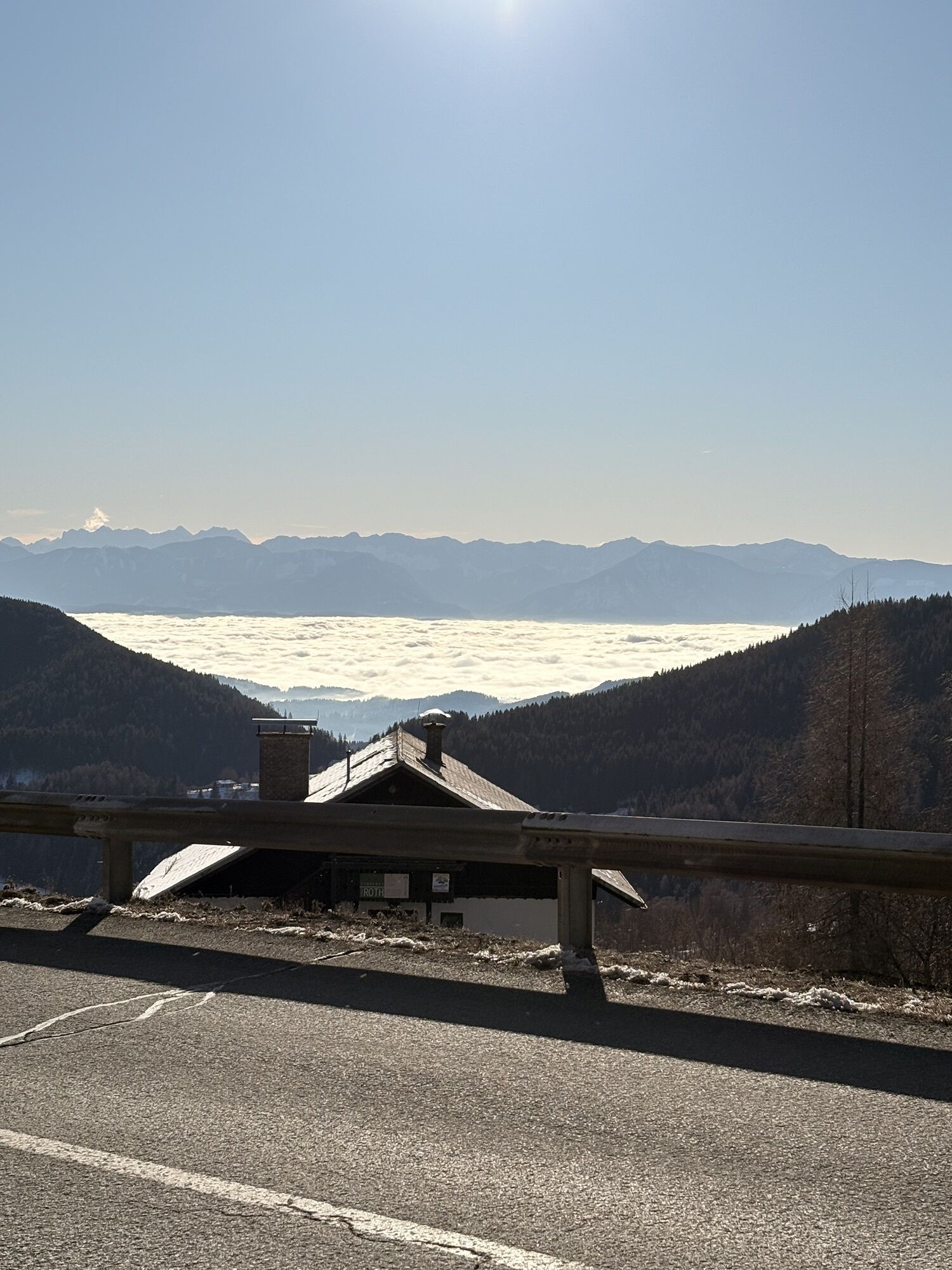
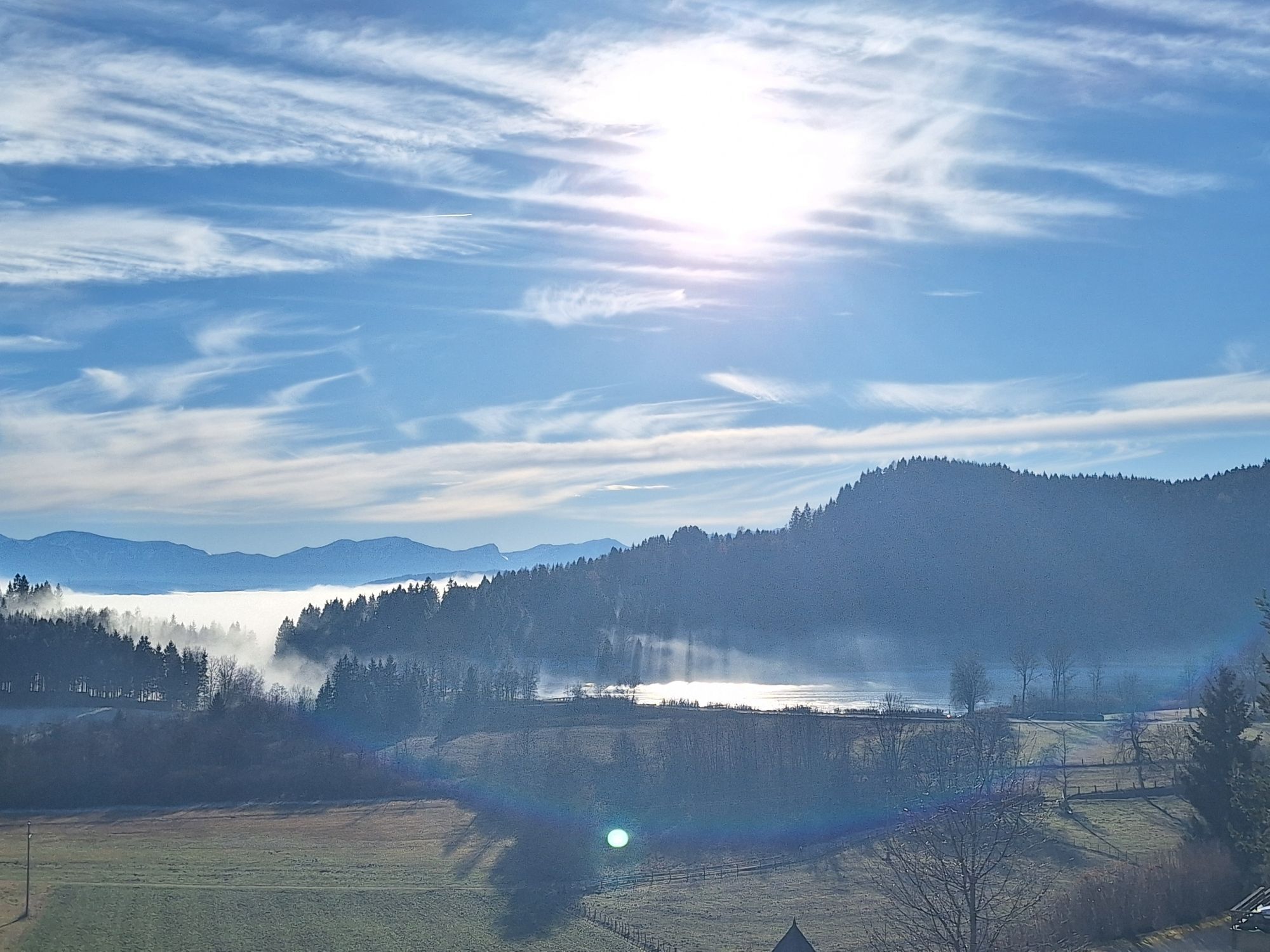
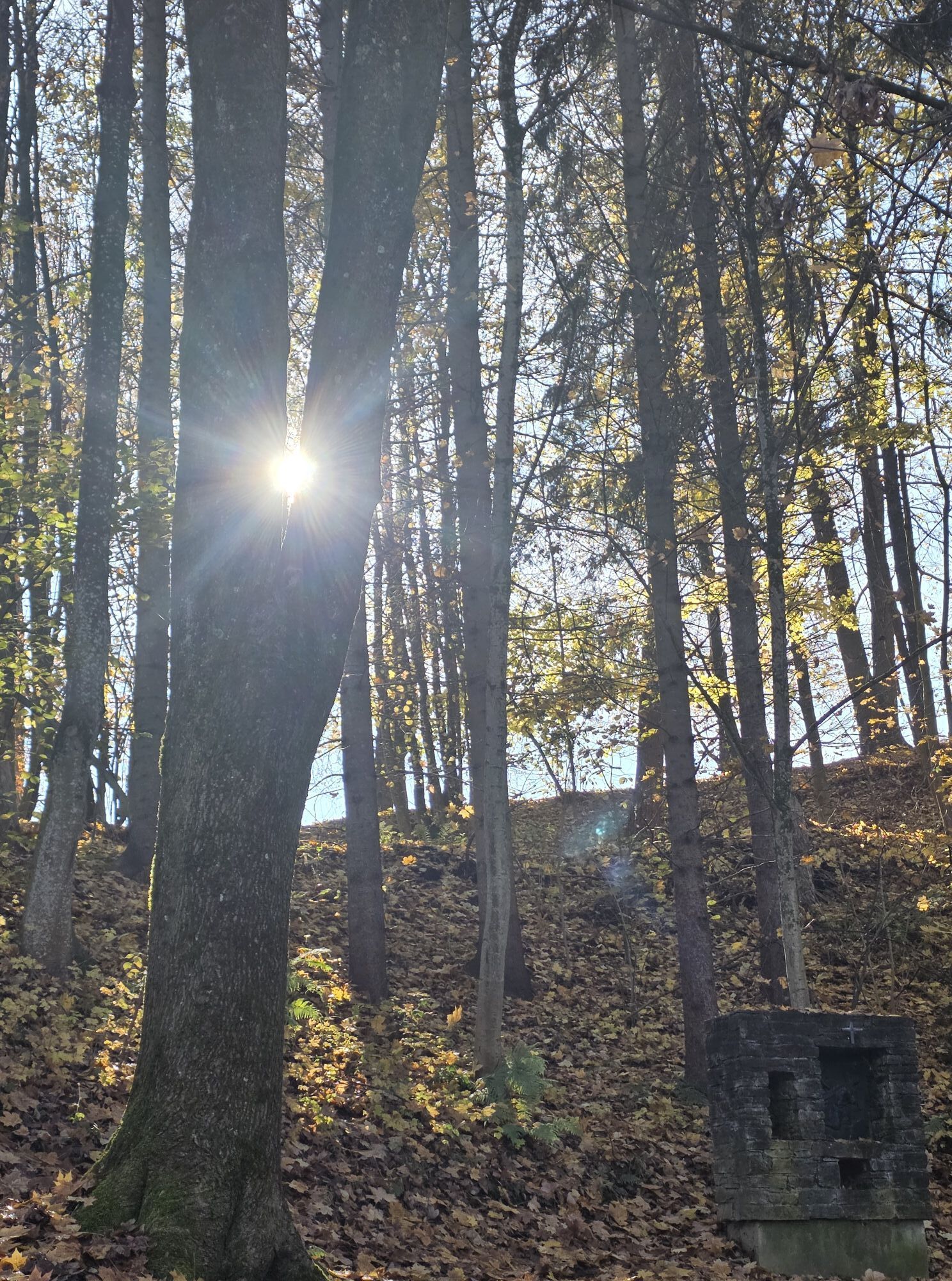
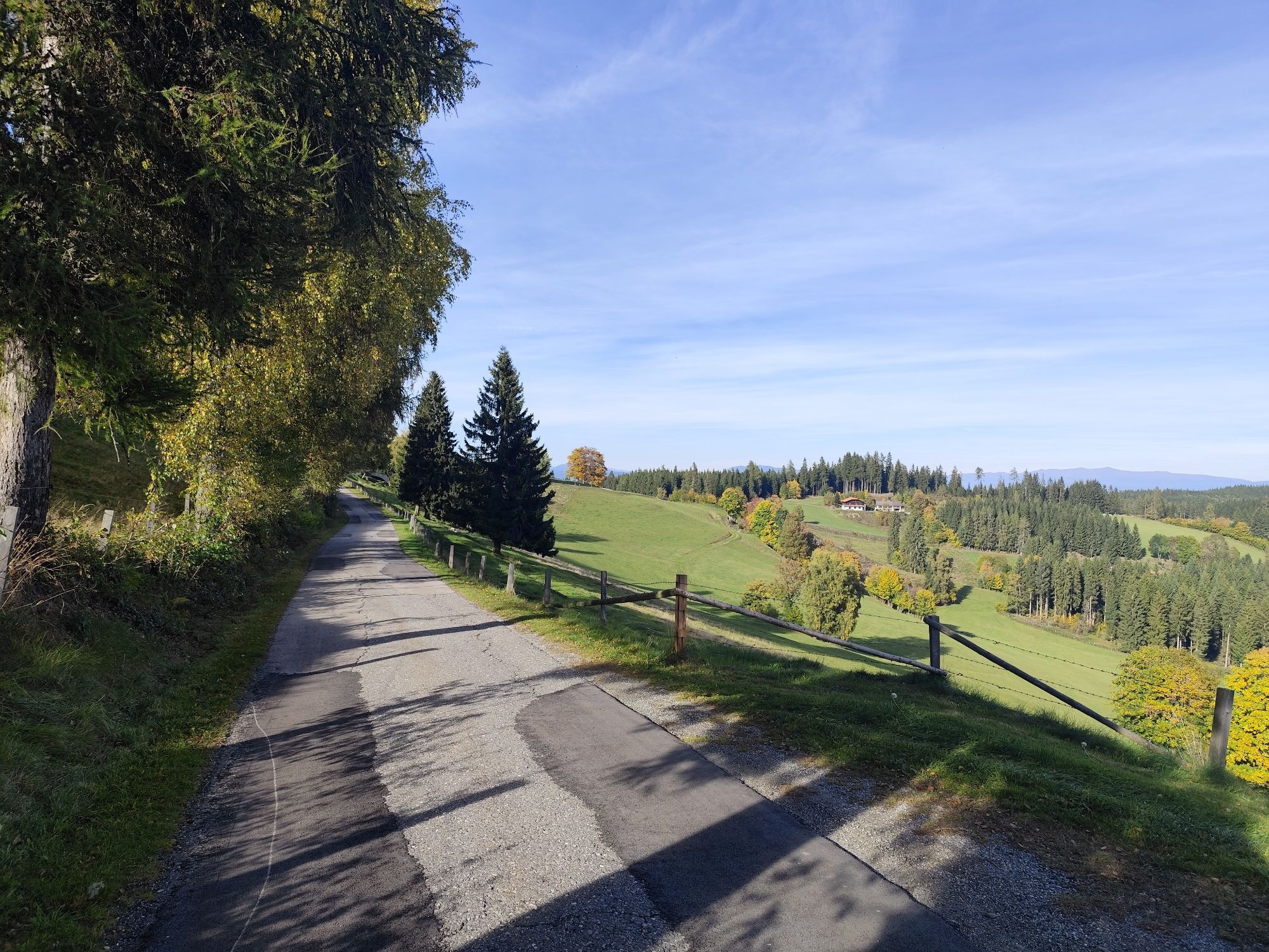
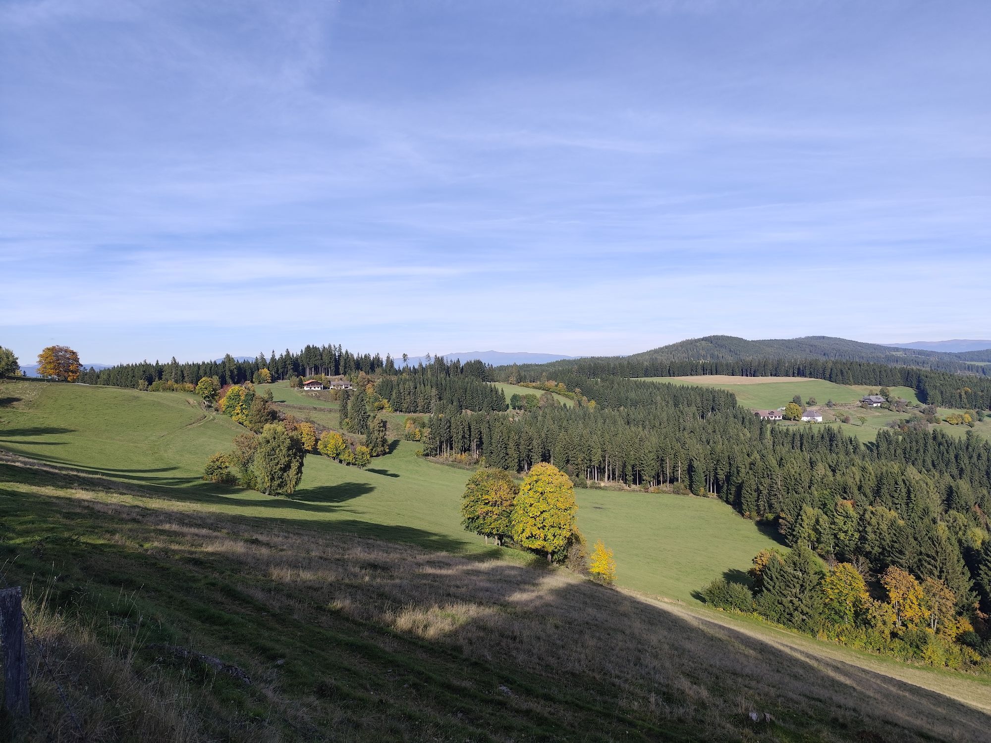
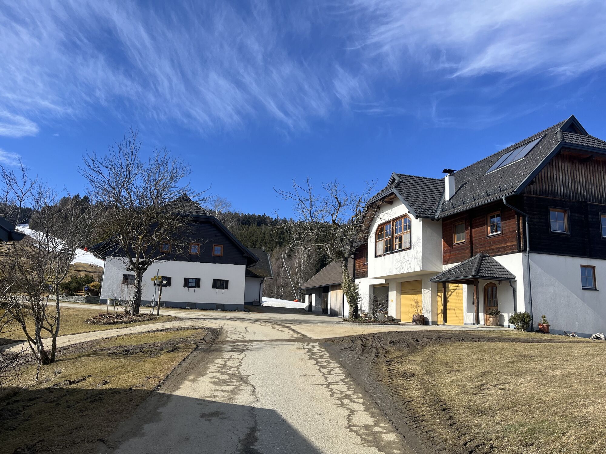
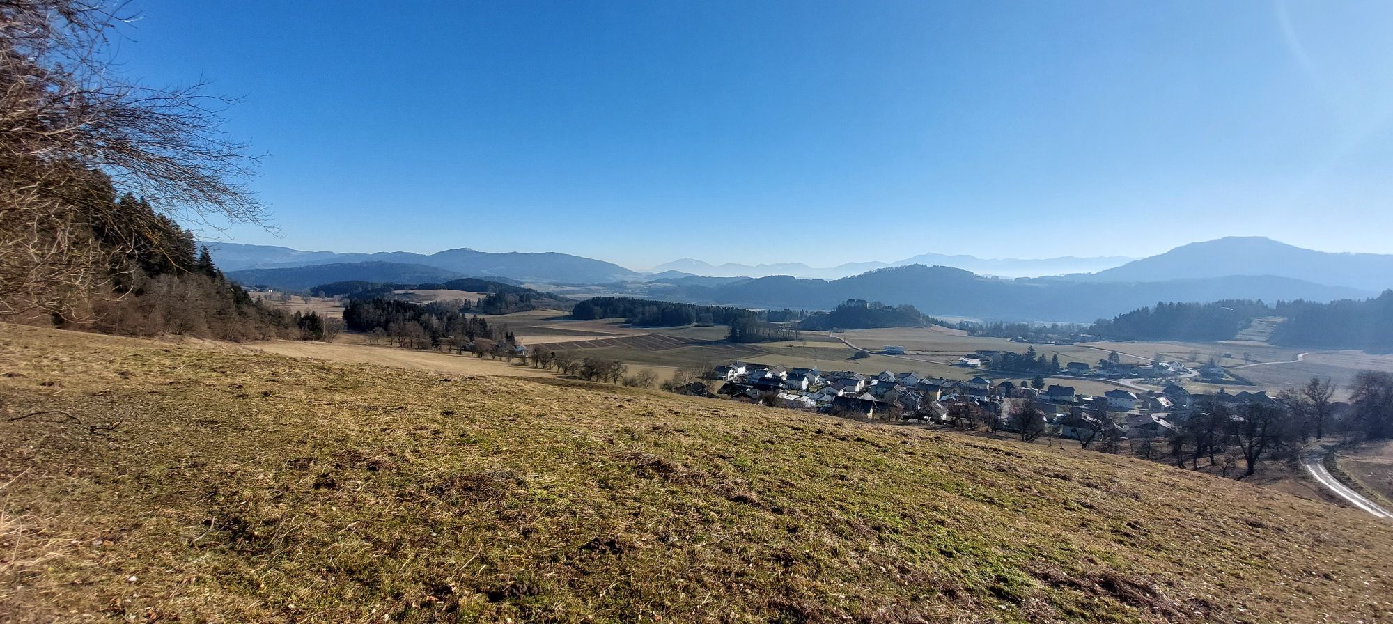
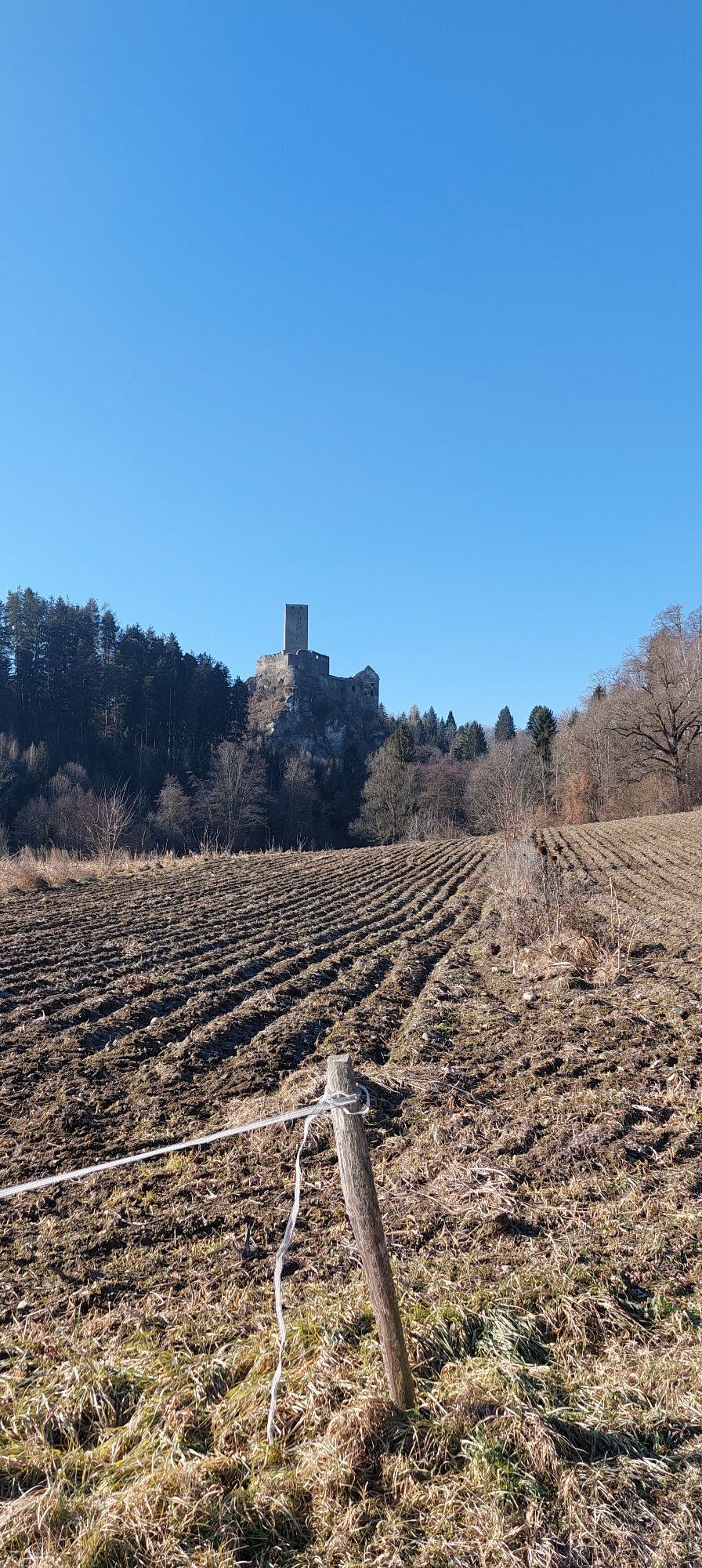
Along the bike route from St. Veit via Wegscheide, St. Paul, Eggen, Simonhöhe, St. Urban, and Liebenfels back to St. Veit, you can expect various sights. Enjoy a breathtaking view over the Carinthian region...
Along the bike route from St. Veit via Wegscheide, St. Paul, Eggen, Simonhöhe, St. Urban, and Liebenfels back to St. Veit, you can expect various sights. Enjoy a breathtaking view over the Carinthian region from Simonhöhe. The route also passes the Liebenfels castle ruins, where you can explore the medieval ruins and enjoy a panoramic view over the Glan valley. This bike route offers a perfect combination of nature, culture, and history.

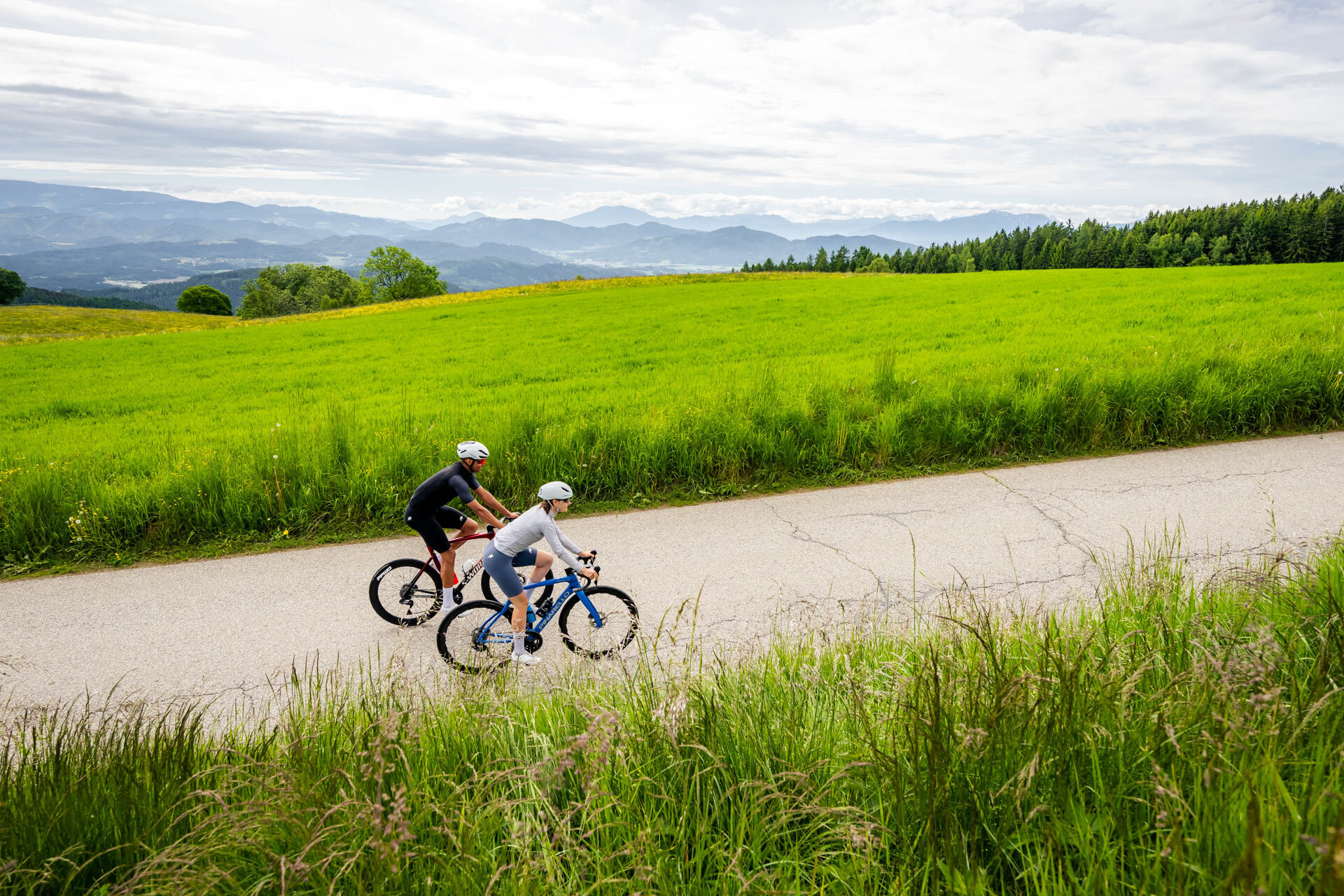
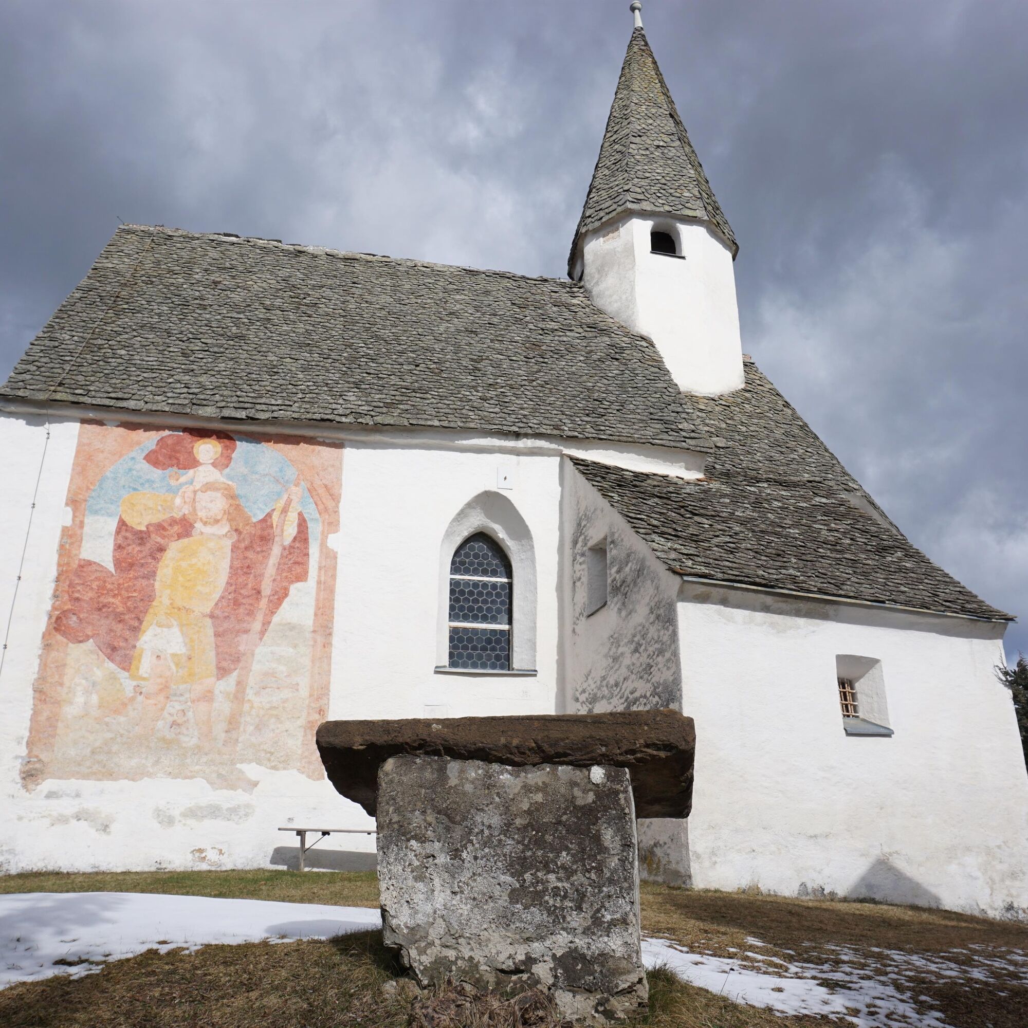
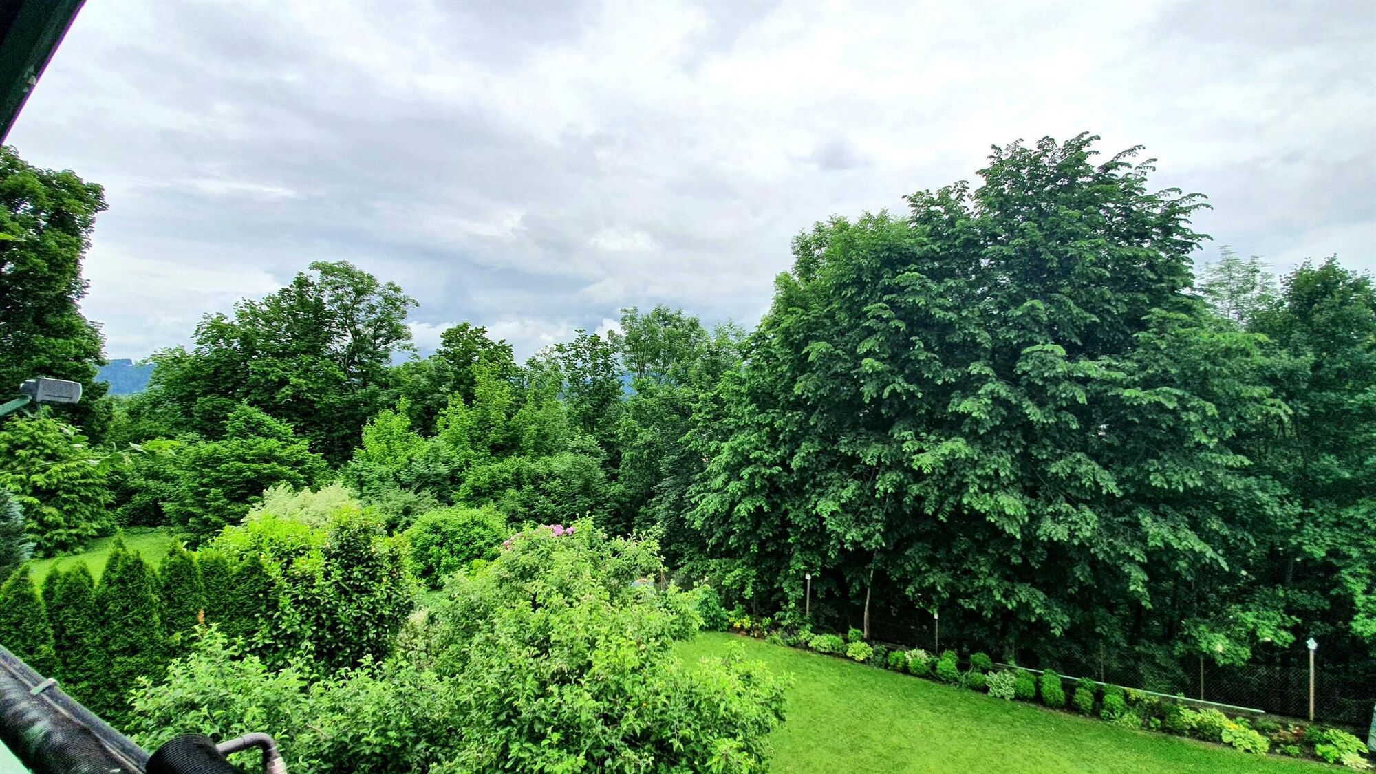
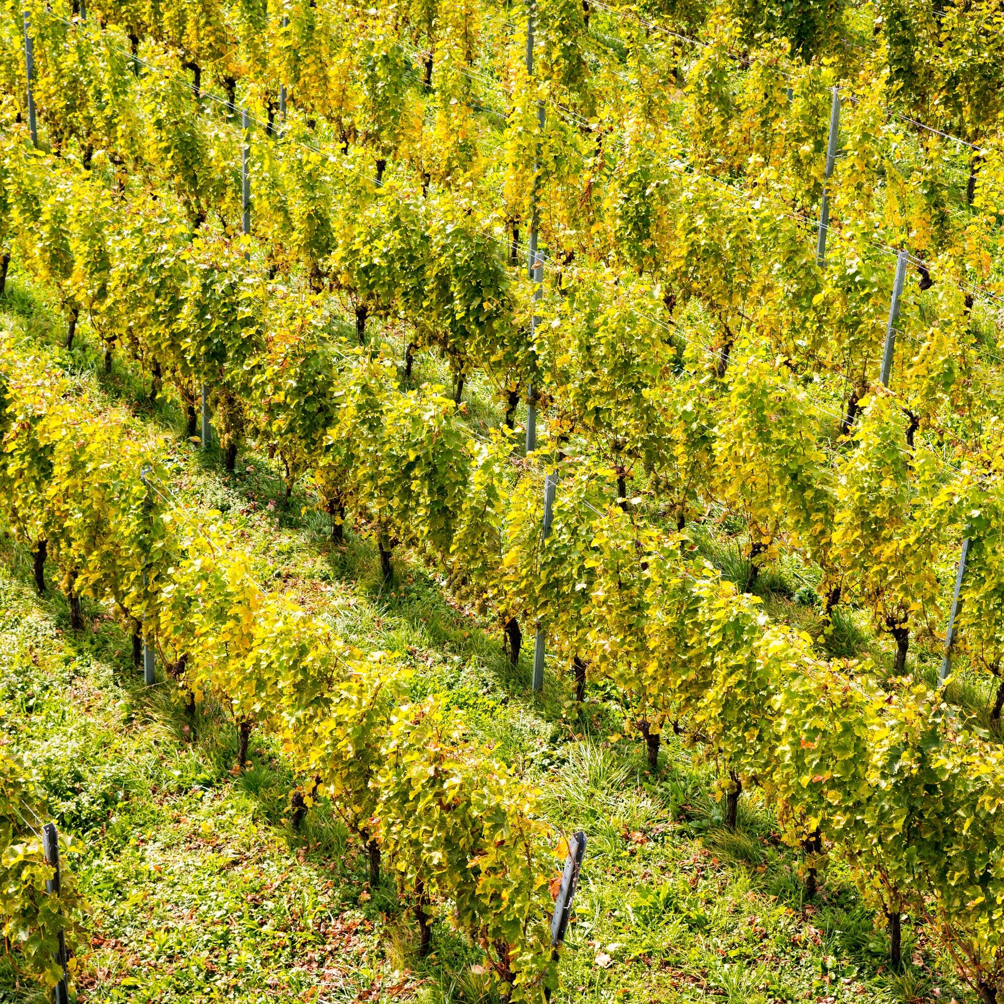
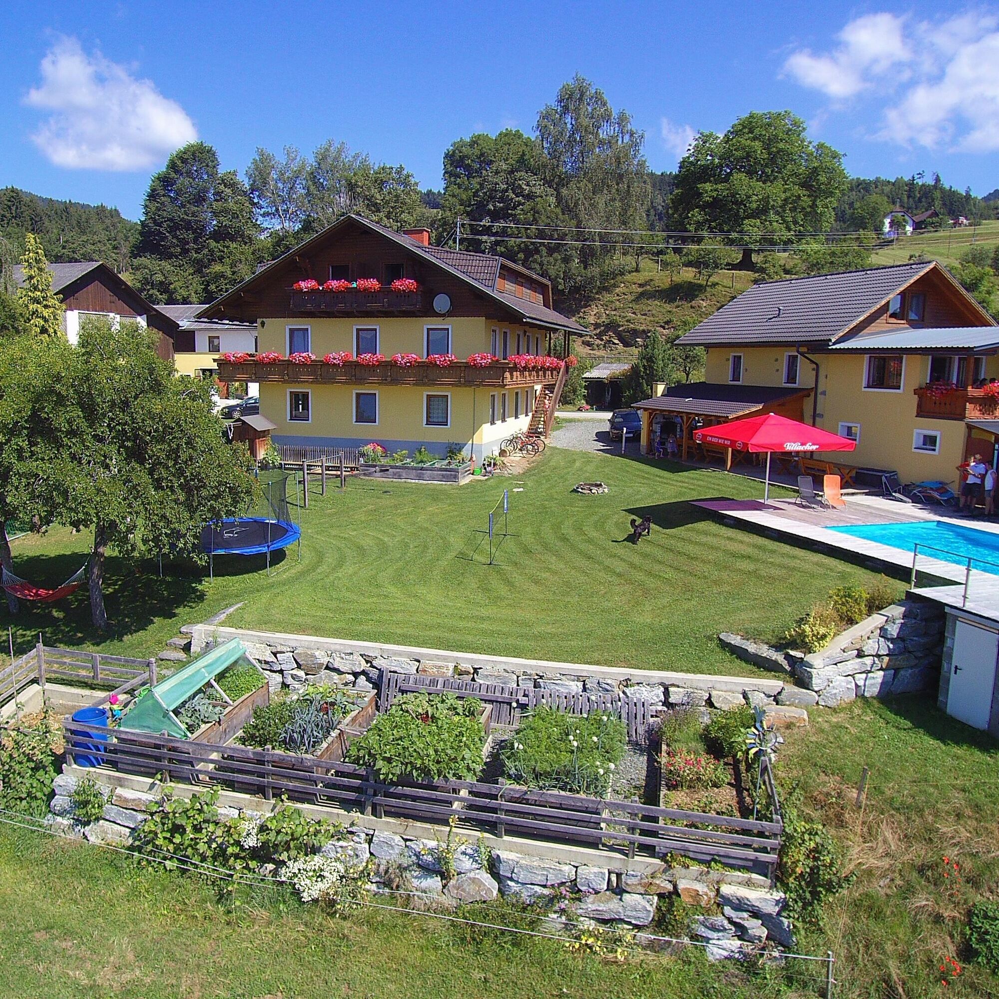

Start your bike route in St. Veit and follow the signs towards Wegscheide. The route takes you through scenic landscapes and charming villages.
From St. Paul, continue your ride to Eggen and further to Simonhöhe. Enjoy the rising altitude and the spectacular view over the Carinthian region. From there, head to St. Urban, where you can discover the impressive Benedictine monastery with its picturesque gardens.
The route then leads you further to Liebenfels, where you can explore the castle ruins. Enjoy the panoramic view over the Glan valley before beginning your return to St. Veit.
This detailed itinerary safely guides you through the picturesque landscape of central Carinthia and the center of good taste, along with the sights worth seeing along the way.
comfortable clothing, suitable bike, provisions, enough water
check the weather; inform someone where you are going and when you will return; charged mobile phone
use your route planner
ÖBB timetable information: https://fahrplan.oebb.at/webapp/#!P|TP!H|704158
ample parking spaces available
4
find more routes here:
https://regio.outdooractive.com/oar-mittelkaernten/de/
Simonhöhe with bike trails for everyone
Liebenfels Castle Ruins
Tourism Region Central Carinthia
Book accommodations in Central Carinthia
Slow Food Travel
Webové kamery z prohlídky

Oblíbené prohlídky v okolí
-
5.0
Wörthersee EXTREM
heavyTuristika 60.1 km -
4.6
Hoher Gallin route
středníTuristika 7.09 km -
4.7
Zillhöhe
středníBěh 7.94 km -
4.7
Abenteuer-Wasser-Weg
středníTuristika 9.13 km -
4.7
Vierbergelauf
středníPoutní stezka 47.6 km -
4.1
Slow Trail Bleistätter Moor (Variant A)
světloTuristika 7.22 km -
4.6
Ulrichsberg
světloTuristika 5.60 km -
4.0
Lake Ossiacher See cycle path – R2 & R2A
středníJízda na kole 28.2 km -
4.3
Slow Trail Brahmsweg
středníTuristika 5.86 km -
4.9
Slow Trail Maltschacher See - long route
světloTematická stezka 7.04 km
Pěší turistika a stopování


Nenechte si ujít nabídky a inspiraci pro vaši příští dovolenou
Vaše e-mailová adresa byl přidán do poštovního seznamu.





