






05 Hemmaweg - St. Veit - Gurk
Fotografie našich uživatelů
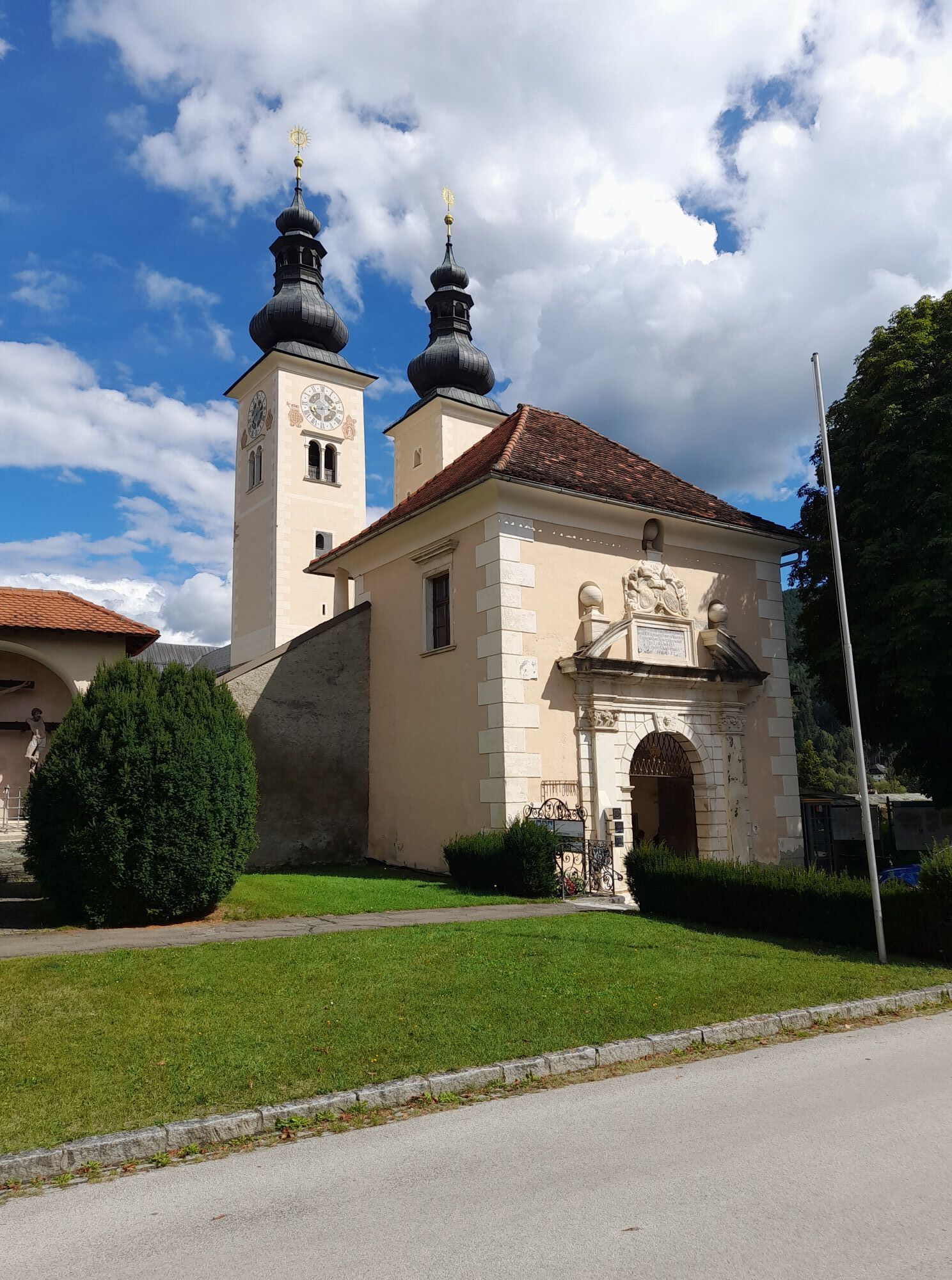
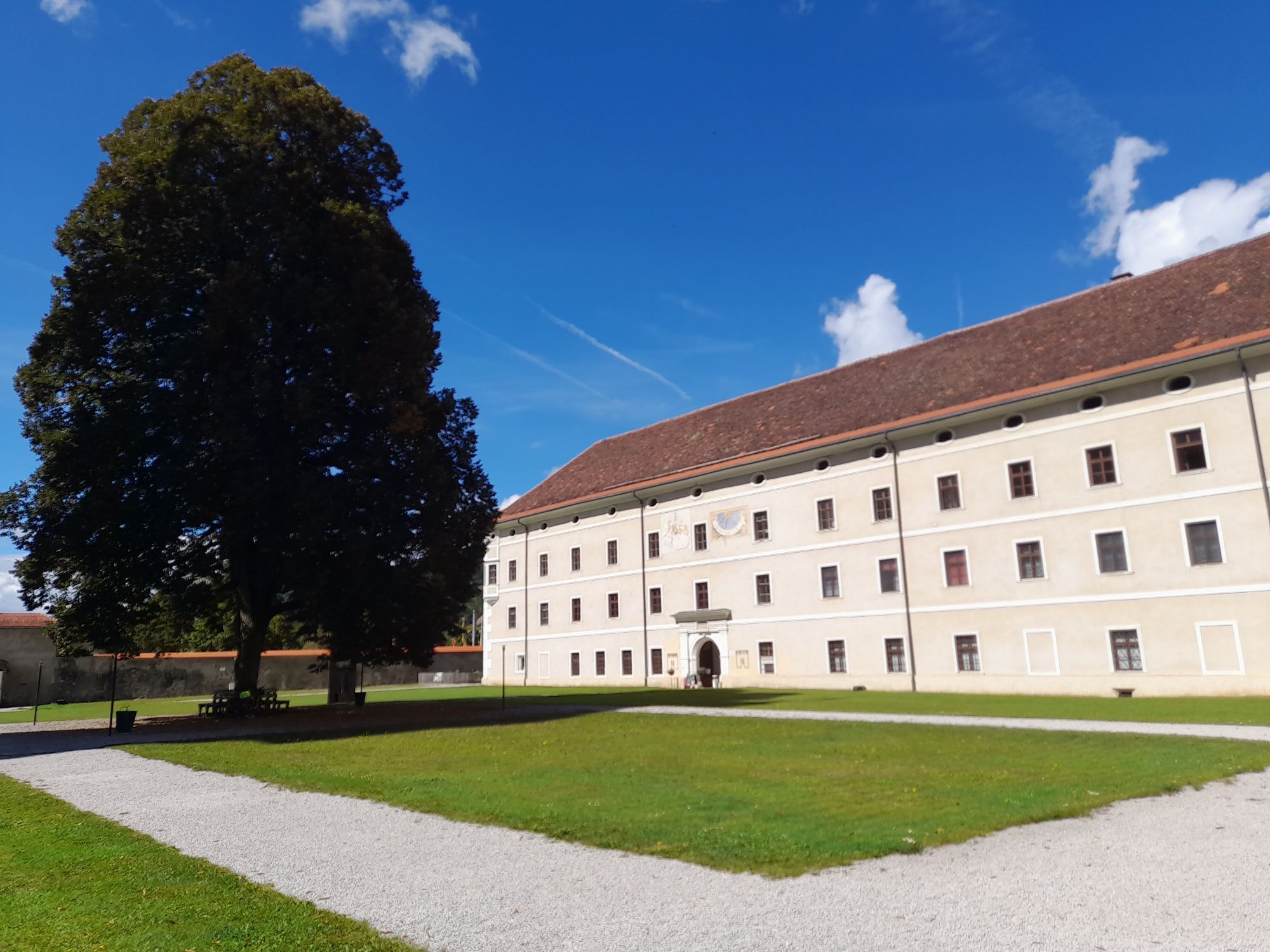
The fifth stage of the Hemmaweg leads from St. Veit to Gurk and covers about 32 kilometers, which can be completed in approximately 9 hours. The starting point is the picturesque town of St. Veit, known...
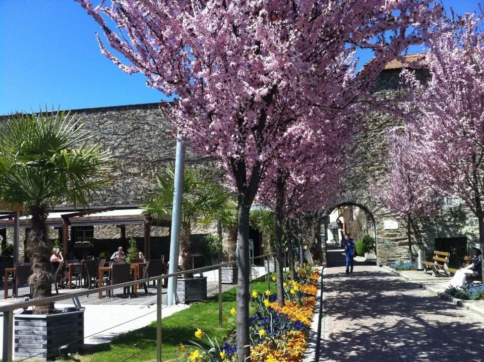
The fifth stage of the Hemmaweg leads from St. Veit to Gurk and covers about 32 kilometers, which can be completed in approximately 9 hours. The starting point is the picturesque town of St. Veit, known for its historic old town and the impressive cathedral. The path first passes through gentle hilly landscapes and idyllic villages typical of Carinthia. Along the way, there are splendid views of the surrounding nature and the Gurk valley. The route continues through forests and along quiet streams that invite relaxation. A highlight is the arrival in Gurk, where the impressive Gurk Cathedral with its Romanesque architecture and famous crypt can be visited. The stage ends in Gurk, where hikers can enjoy the local cuisine in cozy inns.

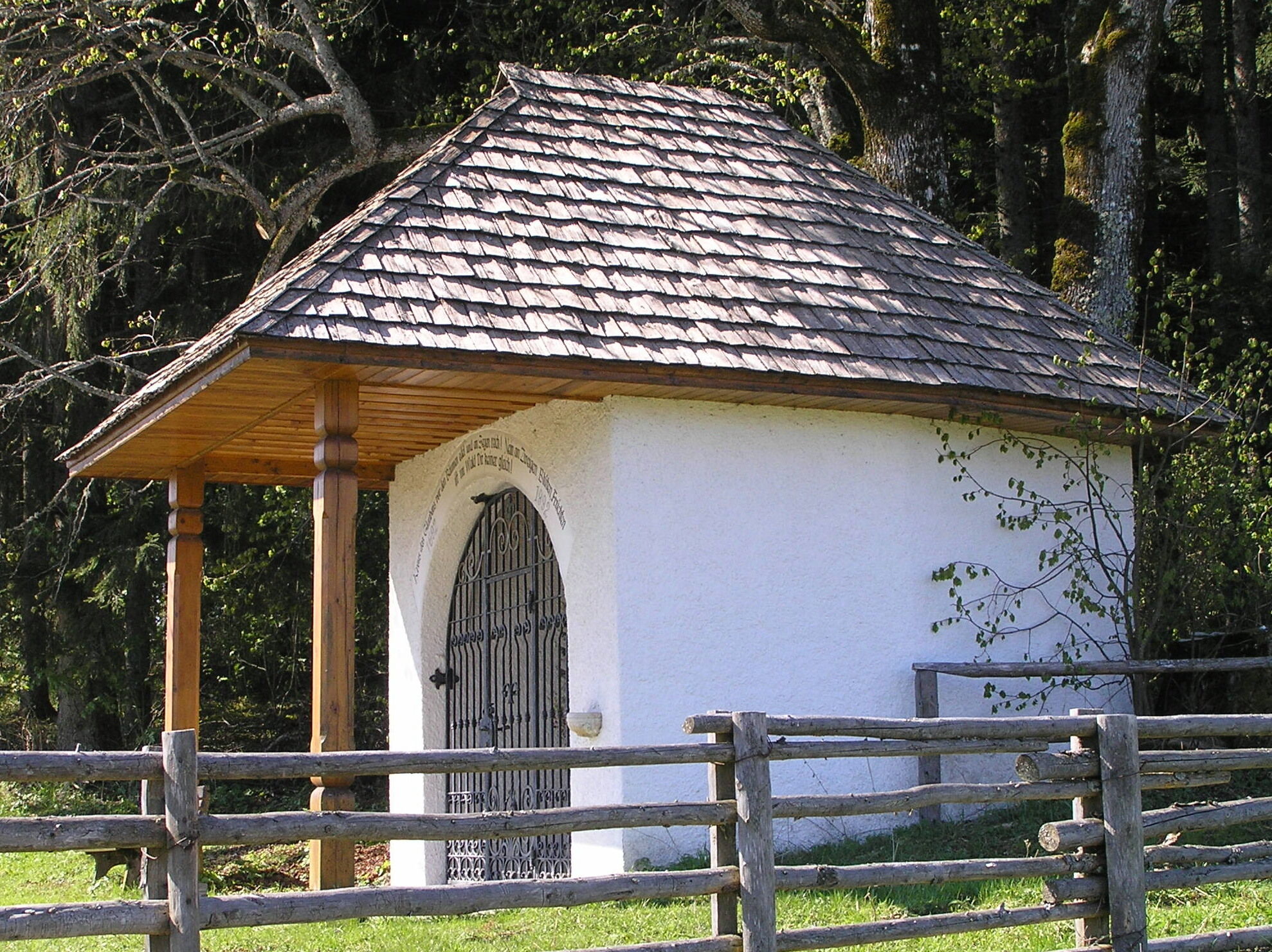
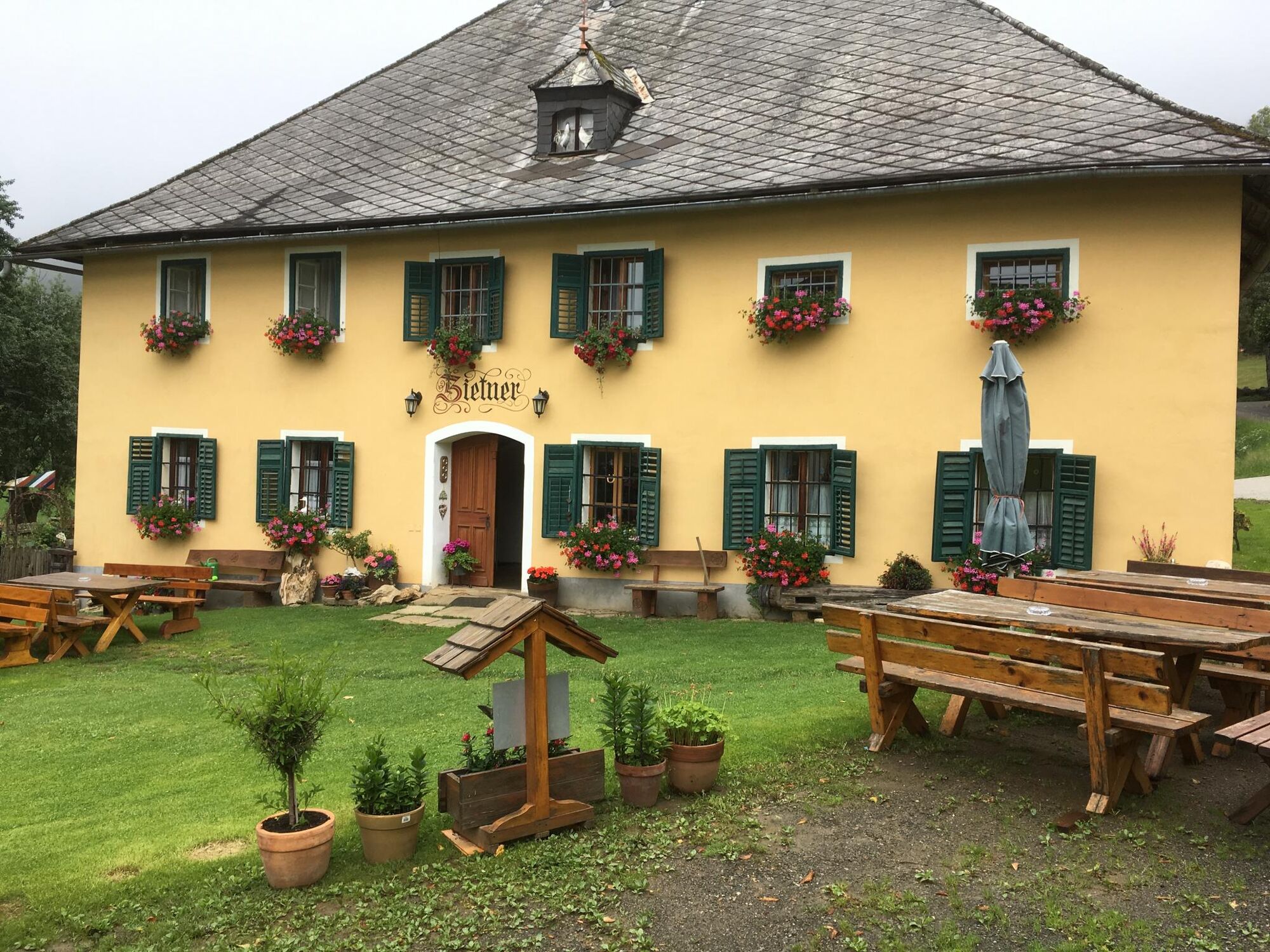
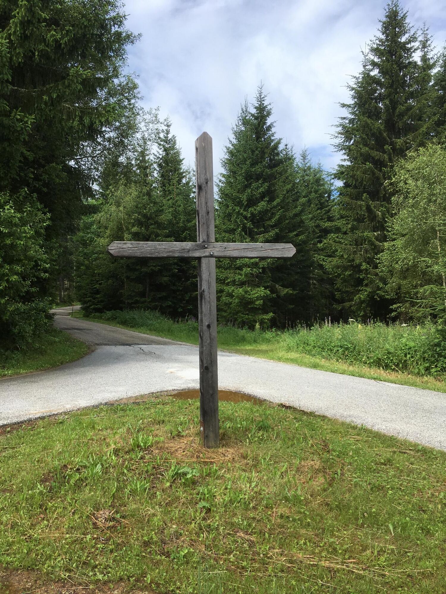
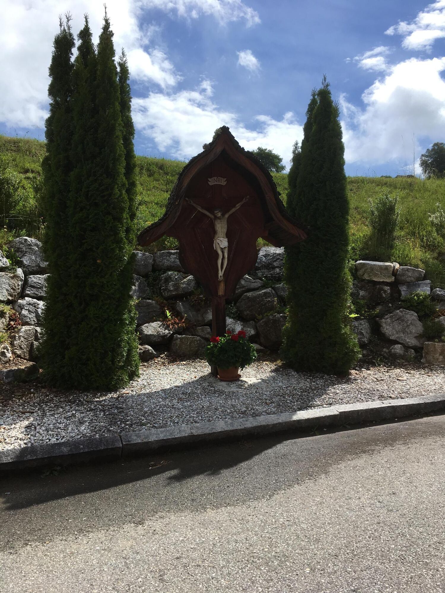

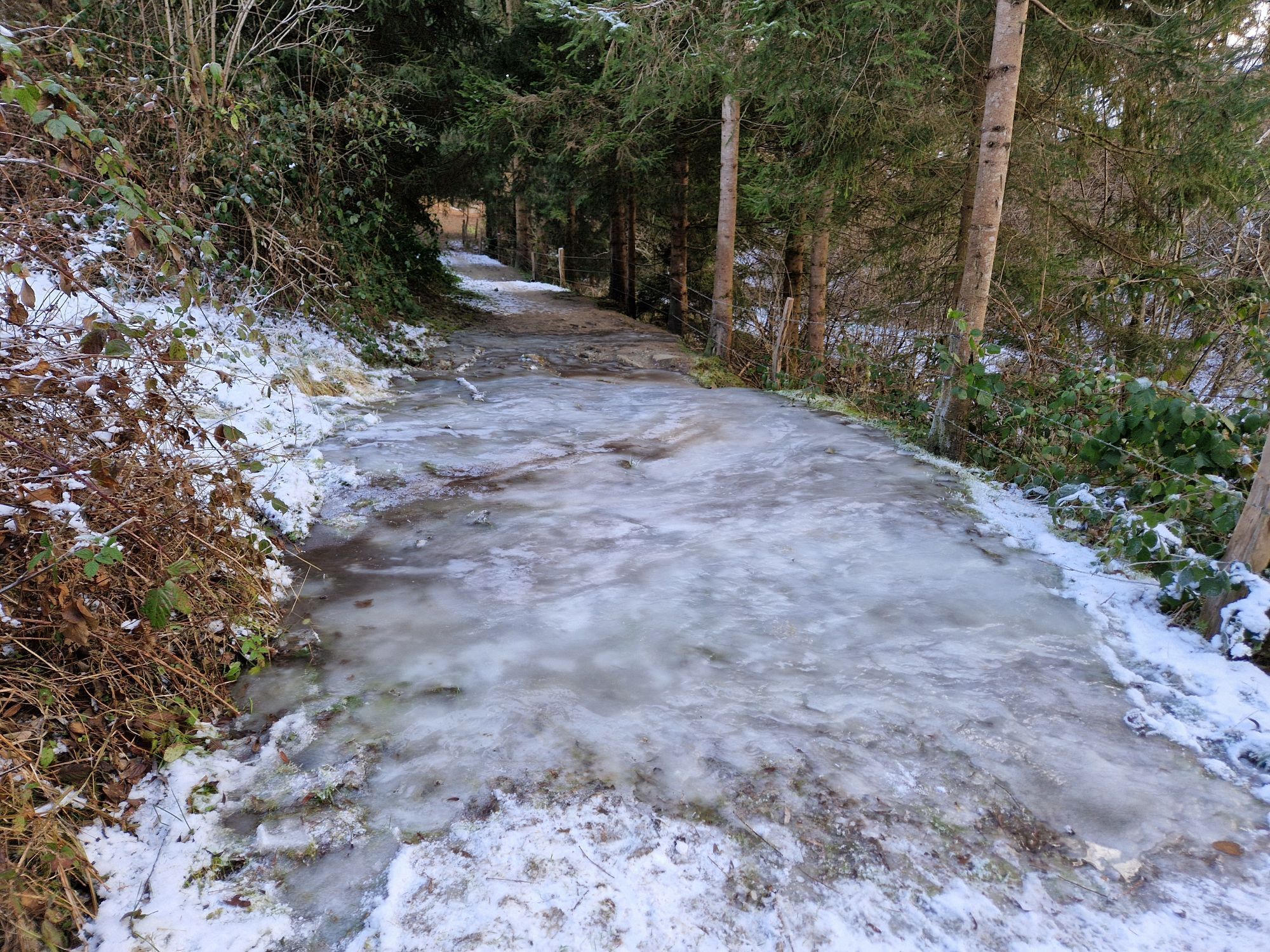
The starting point is Vituspark behind the St. Veit hospital. You follow the path through Hammergraben to Hintnausdorf. There you cross the street and continue northwest past a farm until you reach Frauensteiner Street at a walnut tree and go slightly uphill toward Frauenstein Castle. At the intersection, continue toward Gieselhof/Zwein. After the curve behind Gieselhof, go right into the forest; after about 200 meters, the Hemmaweg branches off to the left. Now, it goes quite steeply uphill until you reach the street again. Do NOT turn right onto the forest path here (sign "Weg des Buches" – this path ends nowhere or in a meadow) but follow the paved street to Zietner. Continue on the street toward Eggen until you reach a crossroads after about 2 km. Here, follow the path left toward Gray/Trinity. After roughly 3 km, keep right and go downhill to Dörfl (at this junction, you can decide if you want to visit the old wooden church in Trinity and the local inn Jägerwirt before continuing to Dörfl). You go downhill toward Innere Wimitz. At Wimitz, turn right and follow the street for one kilometer, then go left – you continue uphill toward Niederdorf. Then you follow a forest path over Sutsch to Pisweger Street. Follow it east to Pisweg and continue toward Gurk. A bit past the "Debriacher Kreuz," turn left and follow the old toboggan run to Gurk.
Ano
Sturdy footwear and weather-appropriate clothing – be sure to carry provisions and drinks, as there are no places to stop along the way.
Let someone know where you are going and when you will return.
see route planner
Buses run to St. Veit, more information: www.kaerntner-linien.at
Parking available
Gurk Cathedral, historic old town of St. Veit an der Glan
Získejte přehled
Vždy živě na místě s více než 9 500 webkamerami. bergfex Jako uživatel Pro si nyní můžete zobrazit odpovídající webové kamery pro mnoho prohlídek v aplikaci prohlídky z. Můžete si tak přímo prohlédnout aktuální podmínky.
Oblíbené prohlídky v okolí
-
4.8
Abenteuer-Wasser-Weg
středníTuristika 9.13 km -
4.7
Vierbergelauf
středníPoutní stezka 47.6 km -
4.5
Ulrichsberg
světloTuristika 5.60 km -
3.6
Kunstwanderweg rund um den Längsee (1)
světloTuristika 5.43 km -
4.4
Magdalensberg von St.Donat
světloTuristika 9.28 km -
3.8
Schloss Frauenstein - Kraiger lake circular route
světloTuristika 6.96 km -
4.0
Around the Buchberg (6)
středníTuristika 8.79 km -
4.7
Through the Wolschart Forest (8)
světloTuristika 9.98 km -
3.0
Paulsberg trail
světloZimní turistika 5.02 km -
3.7
Schaumboden-Dreifaltigkeit circular route
středníTuristika 13.4 km

Pěší turistika a stopování


Nenechte si ujít nabídky a inspiraci pro vaši příští dovolenou
Vaše e-mailová adresa byl přidán do poštovního seznamu.





