



Obervellach - Polinik hut (O07)

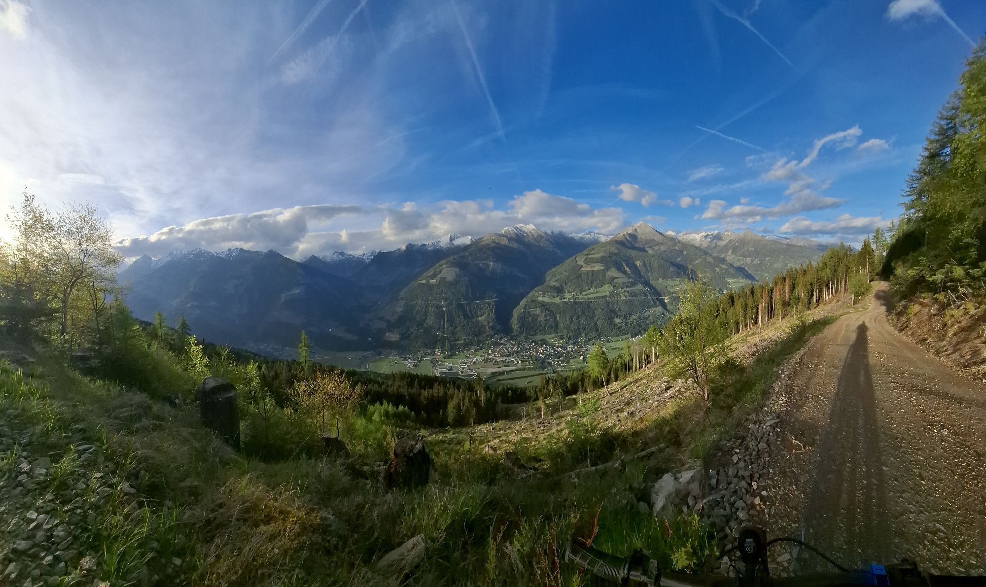
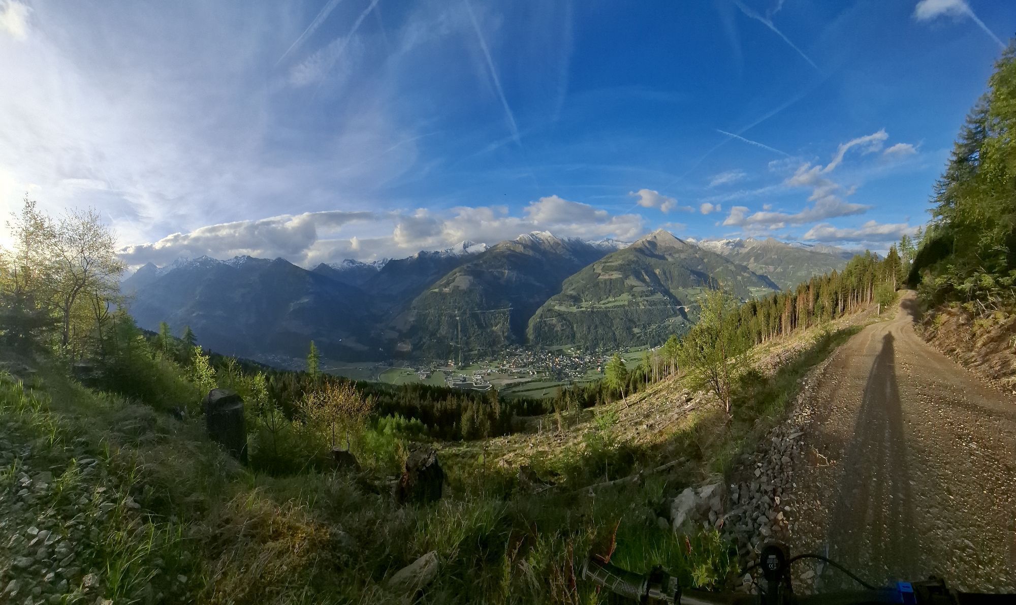
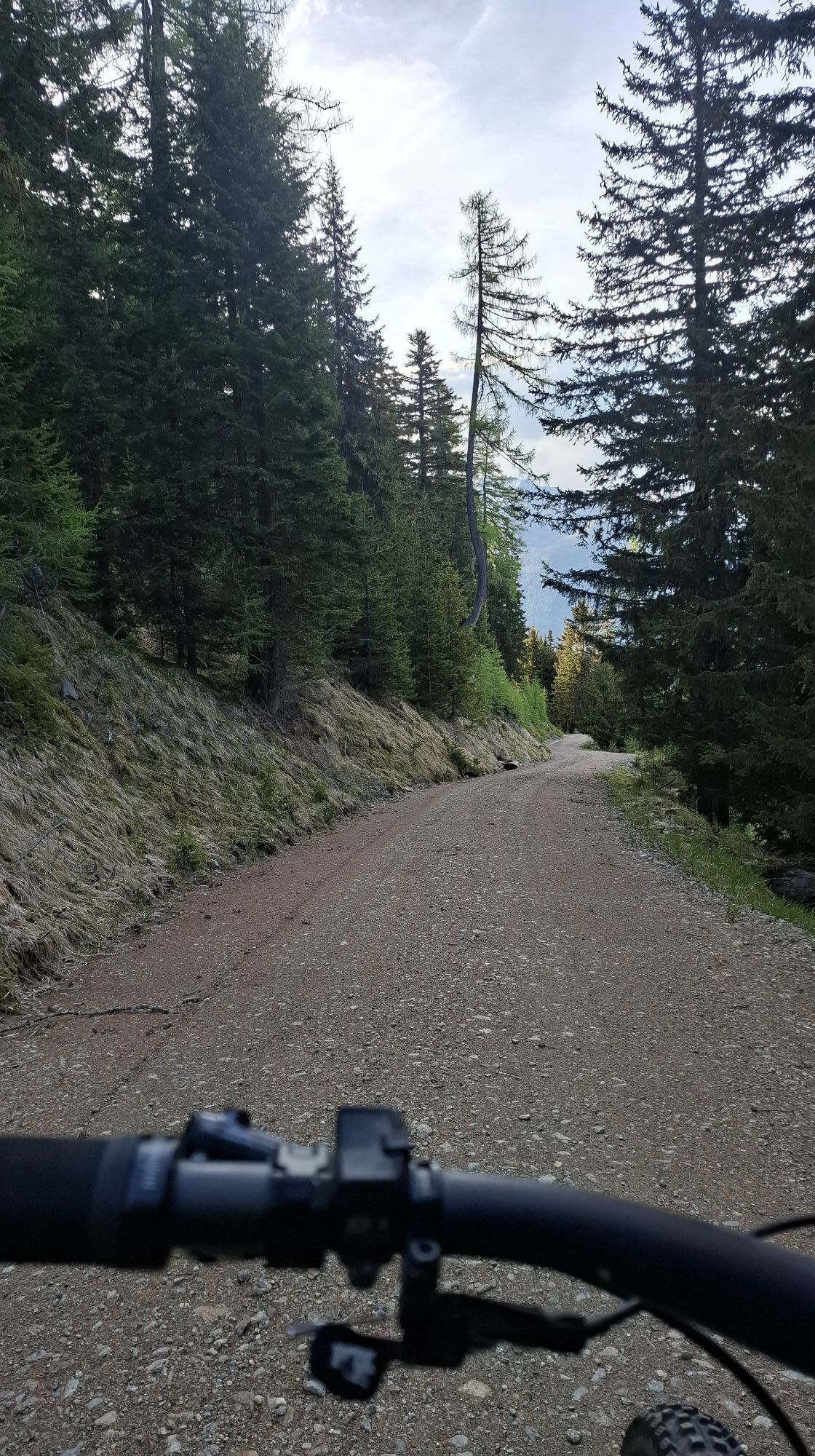
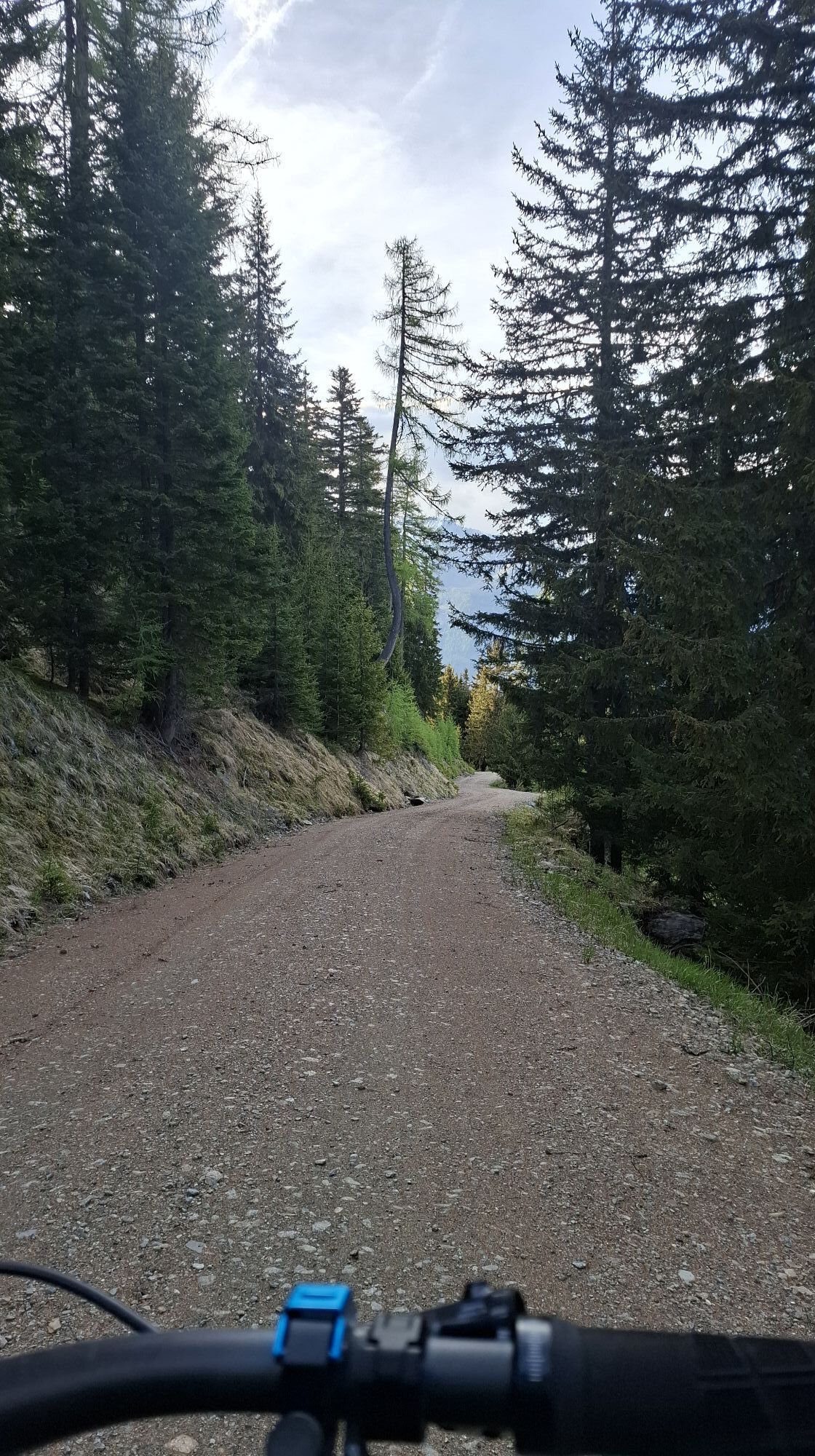


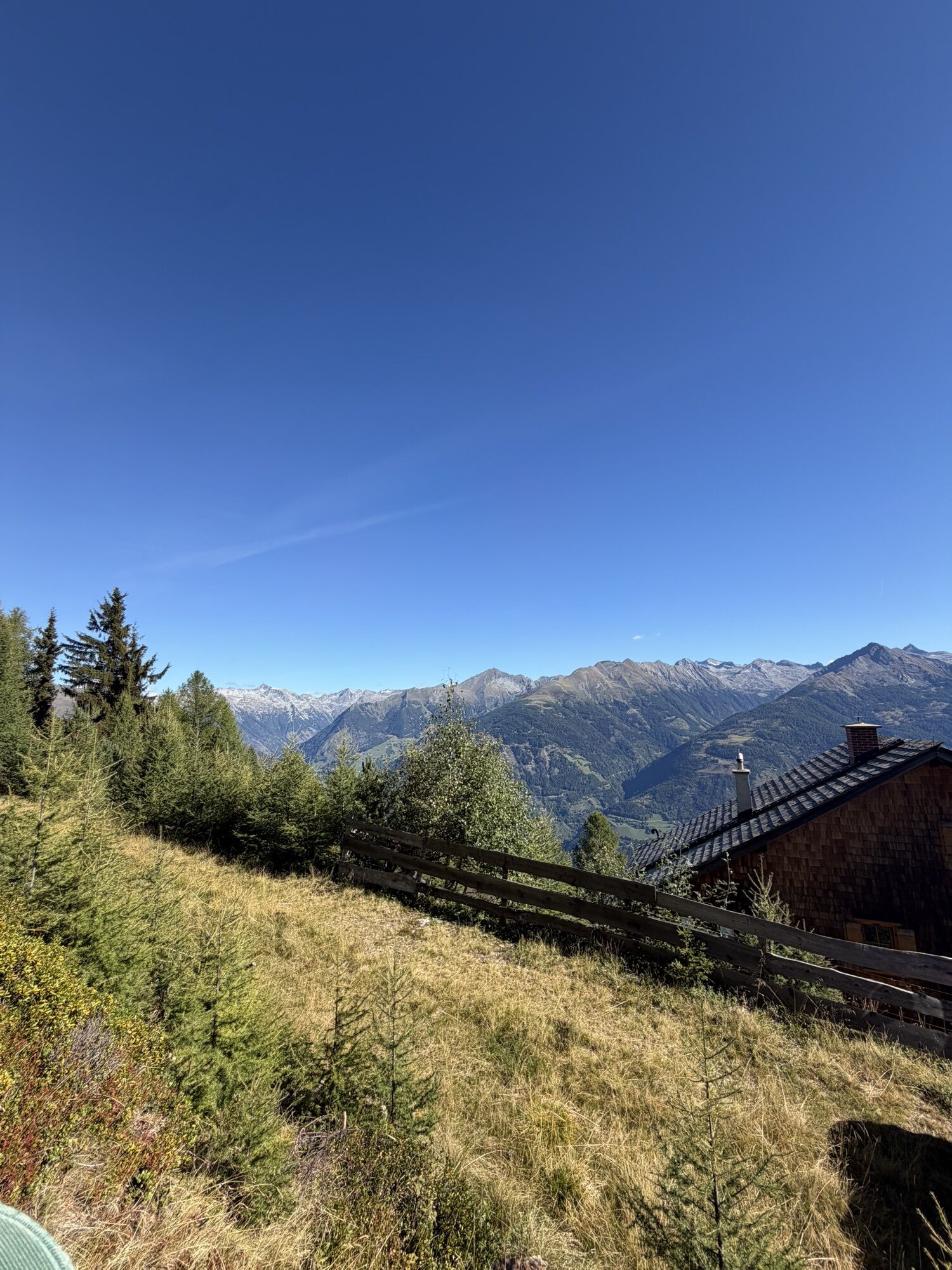
Physically demanding route to the hut located at 1,873 m. Except for a short paved section at the beginning, the route is consistently a forest road with a steady incline.


From the main square in Obervellach, follow the signs over a bridge to the south bank of the Möll. Here turn right, through an avenue, until on the left the path branches off toward Launsberg and Polinik hut (straight ahead leads the valley circuit towards Flattach). On the path to Launsberg, you first ride briefly on asphalt but soon continue upward on a forest road. Shortly after the first right-hand bend, you reach a junction: straight ahead would be the short way to Launsberg.
We keep left, and after several switchbacks finally reach a parking lot at about 1,350 m elevation. Here the possibility of driving ends for cars at a barrier. However, mountain bikers are permitted to continue to the Polinik hut. The climb requires appropriate fitness; the condition of the path becomes somewhat rougher towards the top. Those who reach the Polinik hut can be proud of themselves and enjoy culinary treats!
The descent follows the ascent route. Please do not use alternative routes – we want to be able to cycle here for a long time!
A significantly shorter and easier alternative in the same area is the route to Launsberg.
The route passes through a sensitive hunting area! All cyclists are therefore asked to adhere to the applicable rules, observe the times, and not deviate from the indicated route!
In the interest of positive coexistence with landowners, hunting rights holders, and other stakeholders, please observe the following usage times:
May 31 to August 31: 8:00 a.m. to 7:00 p.m.
September 1 to September 30: 9:00 a.m. to 5:00 p.m.
October 1 to October 31: 9:00 a.m. to 3:00 p.m.




Oblíbené prohlídky v okolí
- 4,5
Groppenstein Gorge Obervellach
středníTuristika 2,99 km - 4,9
Bella Vista auf Hohe Leier
středníVia ferrata 15,6 km - 4,9
Ankogelgruppe - Säuleck 3.086m - Detmolder Weg mit zu viel Schnee
heavyVysokohorská turistika 23 km - 4,8
Wanderung zur Schwussner Hütte
světloTuristika 8,07 km - 4,2
Barbarossa Gorge near Mühldorf/Mölltal
světloTuristika 2,74 km - 4,5
Ankogelbahn: mountain station - Kleine Tauernsee - middle station
středníTuristika 5,91 km - 4,8
Vorderer Geißelkopf
středníVysokohorská turistika 19,1 km - 4,6
Arthur von Schmidhaus
středníTuristika 6,36 km - 4,3
Emberger Alm - Hochtristen
středníTuristika 9,50 km - 4,0
Raggaschlucht
středníTuristika 3,44 km

Pěší turistika a stopování


Nenechte si ujít nabídky a inspiraci pro vaši příští dovolenou
Vaše e-mailová adresa byl přidán do poštovního seznamu.


