


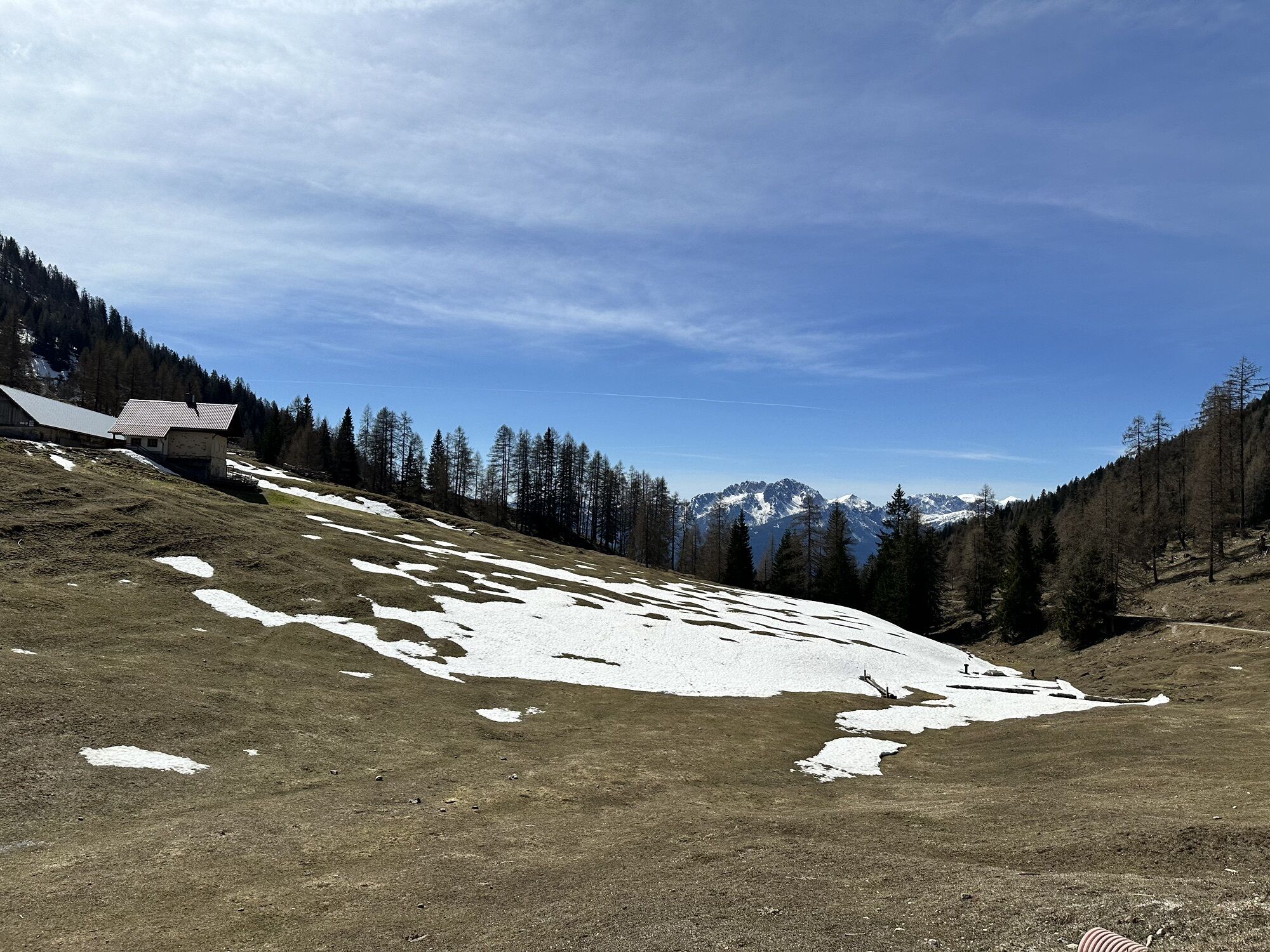
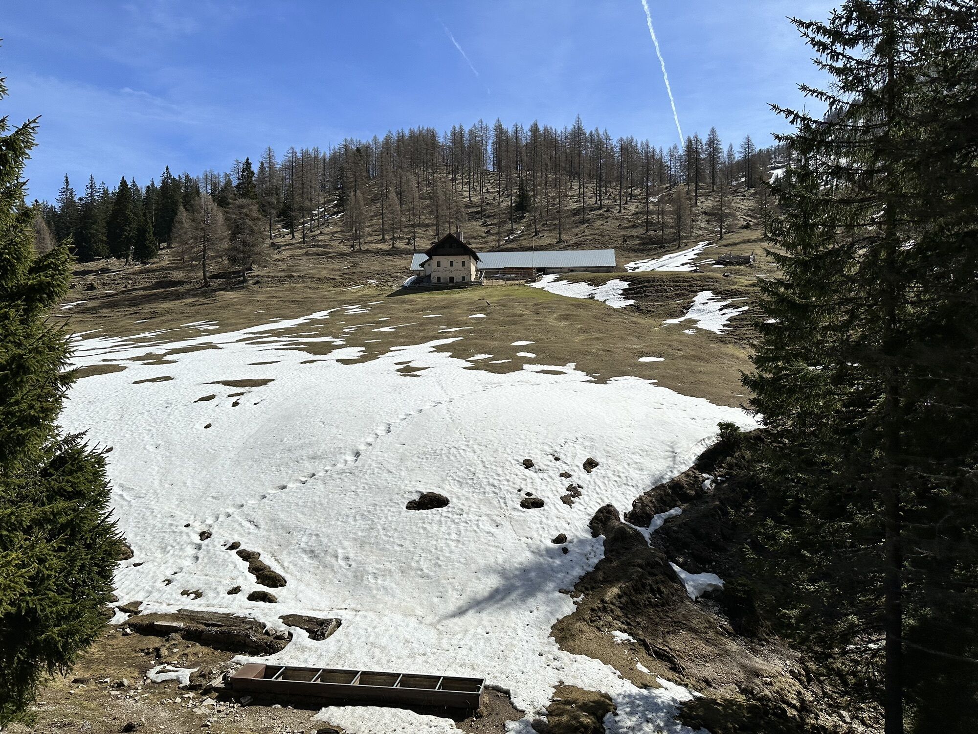
HP4 Radniger Alm
Fotografie našich uživatelů
-
 © Andrey OkonetchnikovVytvořeno dne 06.04.2024
 -
 © Andrey OkonetchnikovVytvořeno dne 06.04.2024
 -
 © Andrey OkonetchnikovVytvořeno dne 06.04.2024
 -
 © Andrey OkonetchnikovVytvořeno dne 06.04.2024
 -
 © Andrey OkonetchnikovVytvořeno dne 06.04.2024
 -
 © Andrey OkonetchnikovVytvořeno dne 06.04.2024
 -
 © Andrey OkonetchnikovVytvořeno dne 06.04.2024
 -
 © Andrey OkonetchnikovVytvořeno dne 06.04.2024

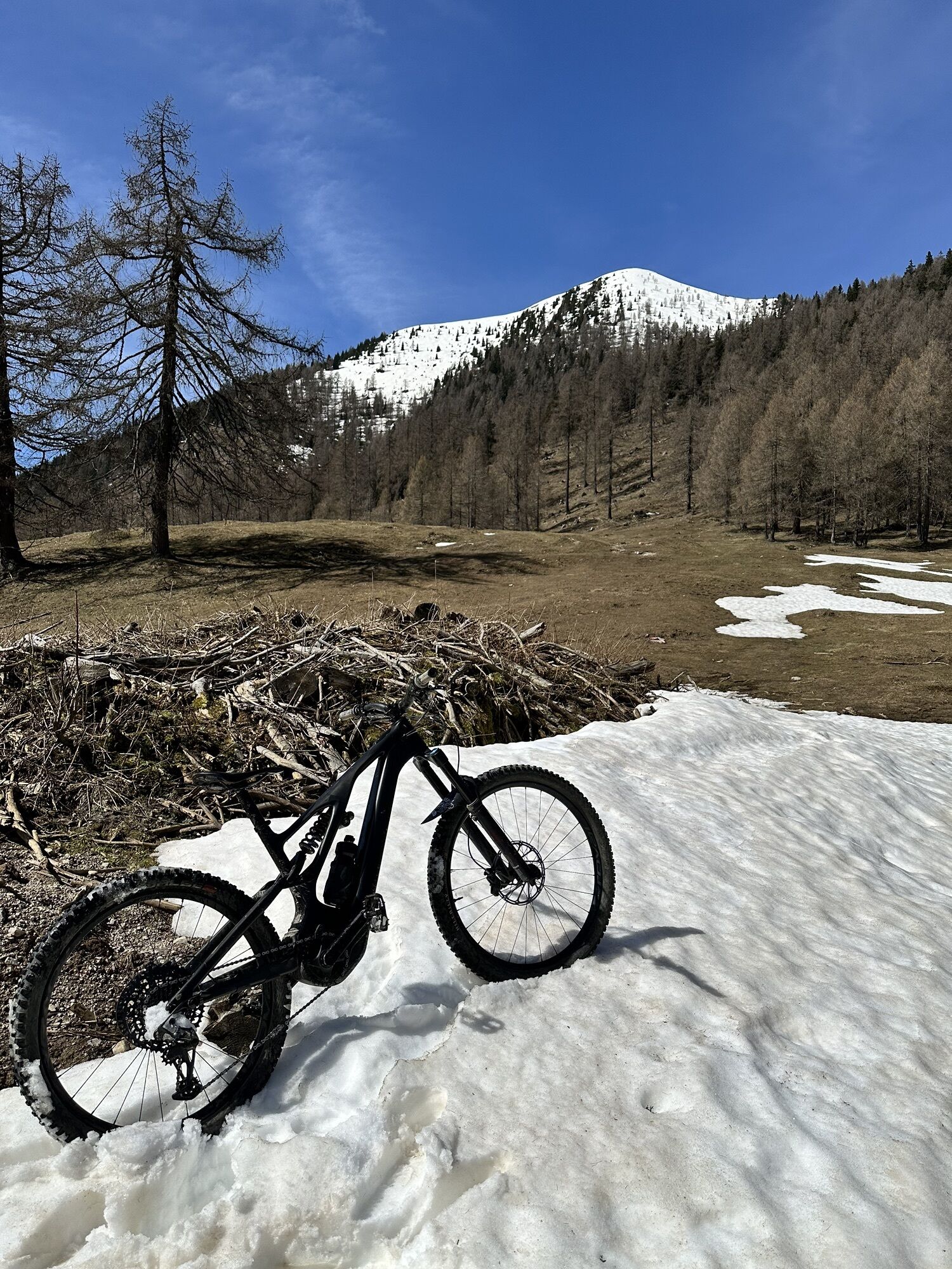
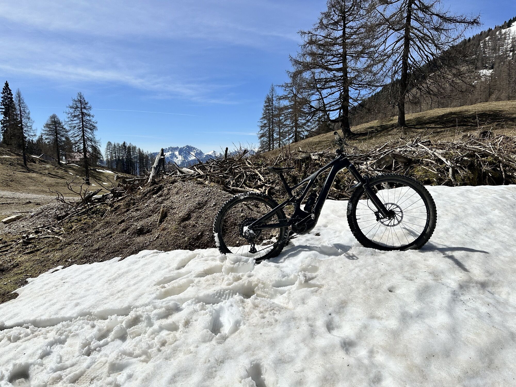
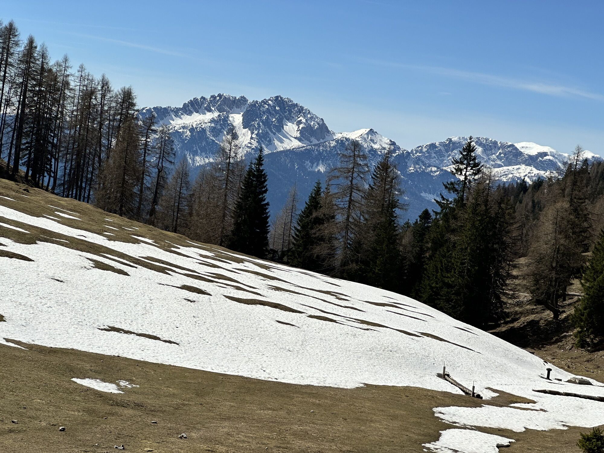
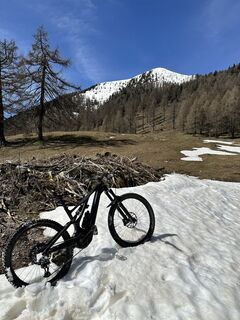
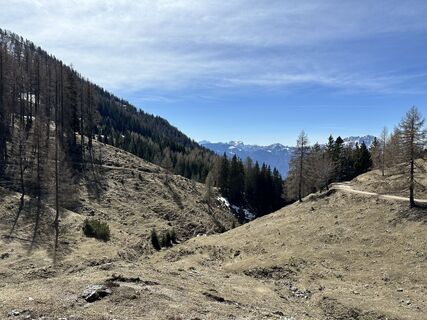
From Hermagor, first go along the road up to Radnig. Past the Radnig natural swimming pool and shortly after onto the forest road to follow this to Radniger Alm. Descent on the same route. The route is ideal for E-MTB.

KM 0 from TVB Hermagor about 100 meters north
KM 0.1 turn right (bike path R3B)
KM 0.3 the climb to Radnig begins at the intersection Villacher Straße-Egger Straße in Hermagor
KM 0.7 straight ahead towards Radnig
KM 2.1 straight ahead
KM 2.3 straight ahead
KM 2.8 left towards Radnig natural swimming pool
KM 2.9 natural swimming pool – straight ahead
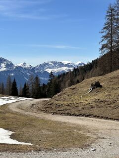
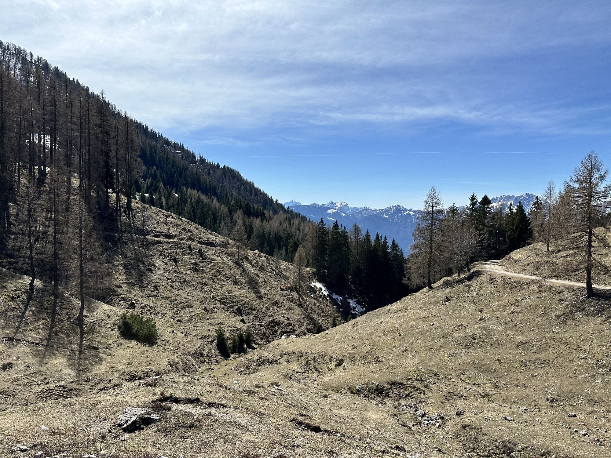
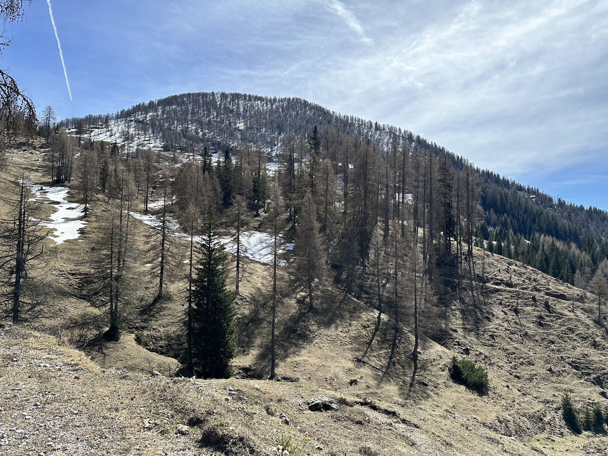
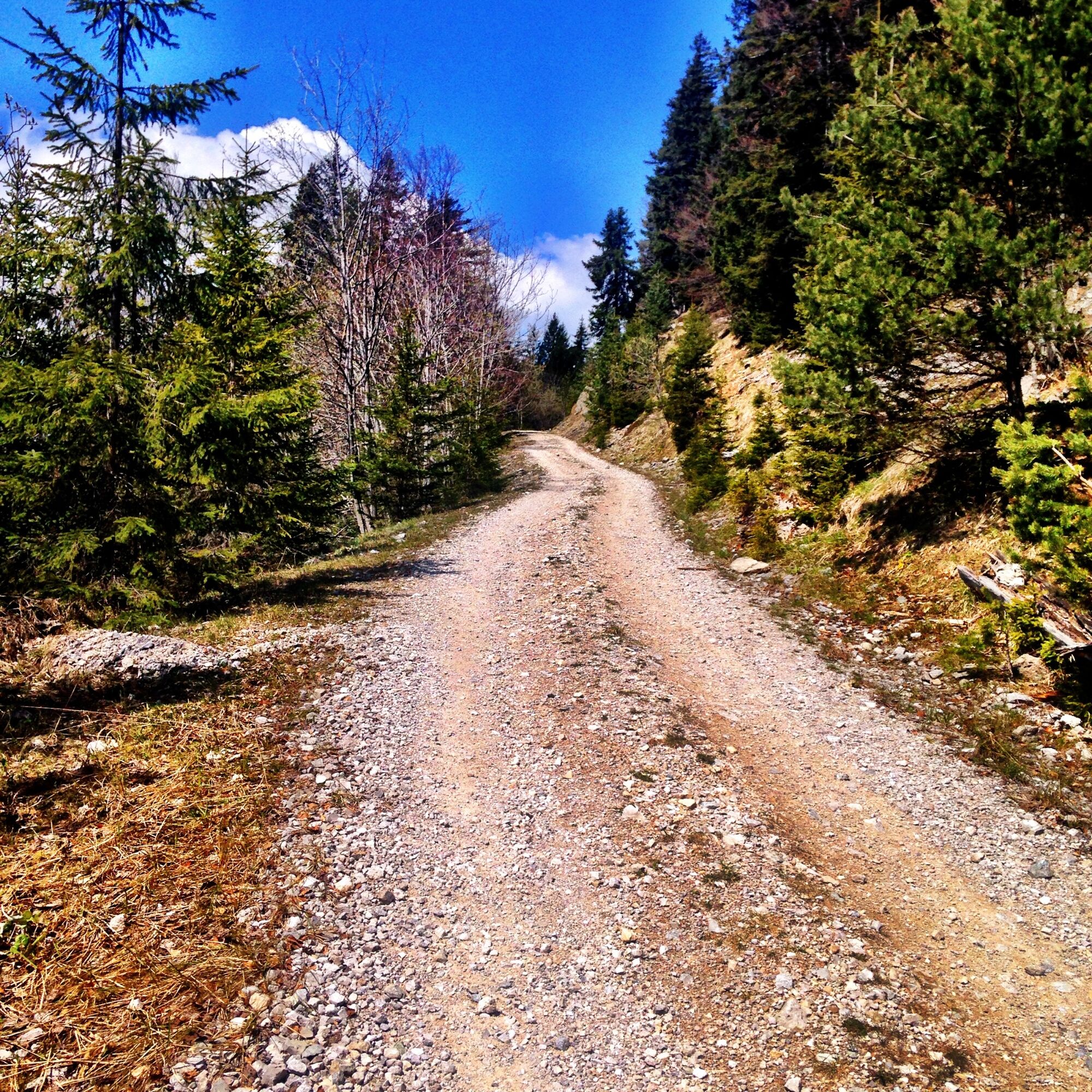
KM 3.2 start of gravel road straight ahead always on the main path to Radniger Alm
KM 9.3 right – continue on main path
KM 10.7 right – continue on main path
KM 11.2 keep left – continue on main path
KM 12.6 right continue to Radniger Alm
KM 12.8 Radniger Alm
Ano
Helmet requirement!!!!!!!
Proper clothing: Adjust your clothing not only to the current weather conditions. Pack warm clothing, a spare jersey, and rain protection, especially in early and late season but also in summer.
Emergency equipment: first aid kit, repair kit (spare tube, pump, tools), map, mobile phone, and possibly GPS
WARNING: In the mountains, reception is not guaranteed everywhere!
Bring enough to drink and plan a timely stop
If line is closed – absolute riding ban!
Always ride at half visibility.
Always adjust your speed so that you can stop in time before obstacles or avoid oncoming traffic
Watch out for pedestrians and hikers and pass slowly
Riding the route with motorcycles is always reported.
Use of the bike routes is at your own risk.
Camping, staying overnight in the forest at night, making fires, disturbing wildlife, or entering forest cultivations under 3 m tree height is legally prohibited.
Continuously check your sports equipment and wear a helmet
Only use the designated, marked routes.
Do not leave the marked path under any circumstances
Please be considerate of the environment. Avoid noise and pollution. Restrict riding at dusk to protect wildlife.
Observe traffic regulations and provide first aid if necessary.
Always close pasture gates and doors. Beware of forestry work!
Proper self-assessment
Start early and plan reserves
Leave higher altitudes in bad weather
Make sure you can safely get through impassable sections. If unsure, turn back early enough
For safe coexistence please follow the fair play rules (link) Emergency call: (+43 4282)112
Coming from Villach, take the motorway exit 364 Hermagor. Drive via the Gailtal connector to Hermagor.
Travel to Hermagor is possible by public transport.
Public parking spaces are available directly at the starting point.
Sights along the route
• Village church St. Katharina – Radnig
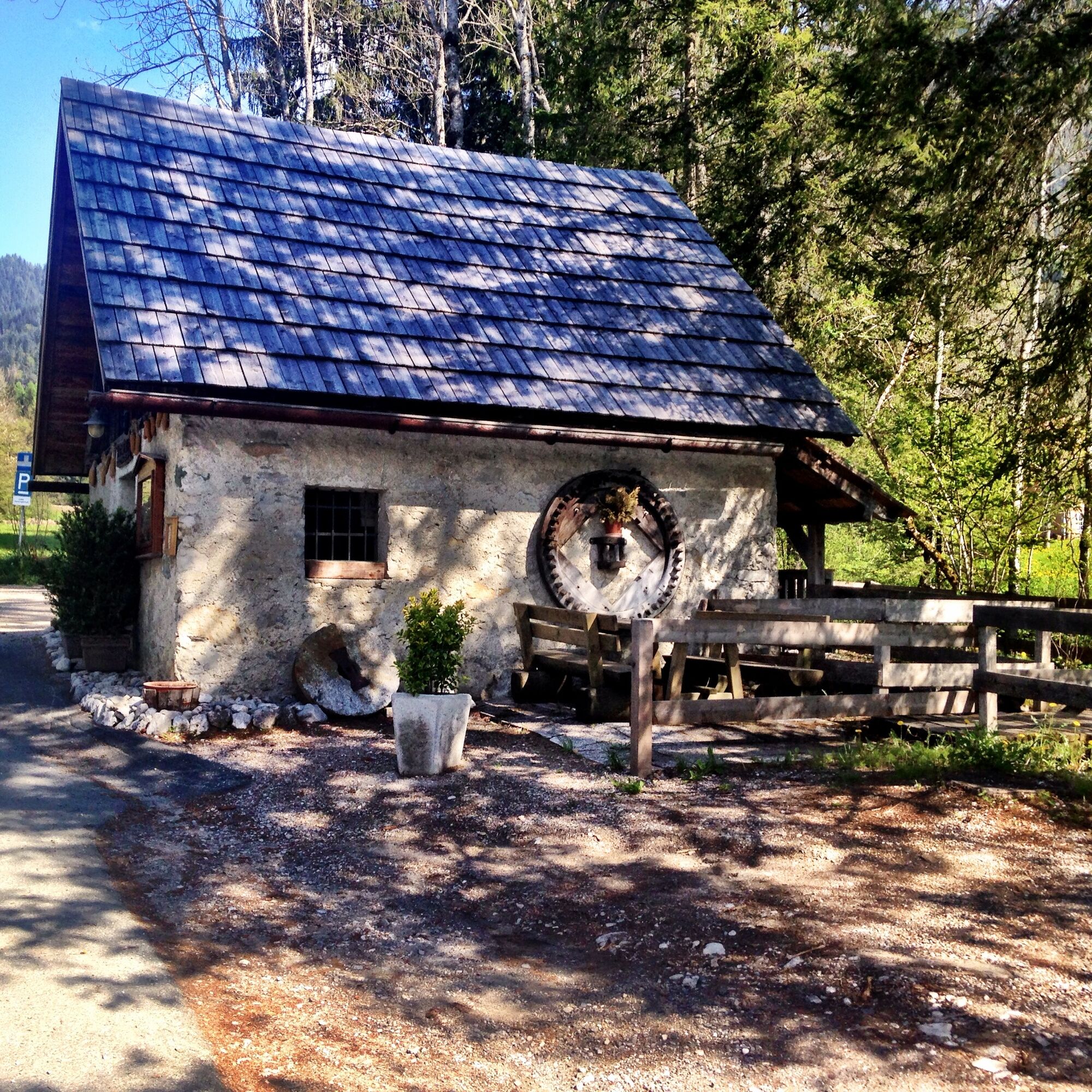
• Old mill – Visit and guided tours available on request
• Radnig natural swimming pool
On a hot summer day, the romantic Radnig natural swimming pool along the route offers a perfect spot for a jump into the cool water!
Webové kamery z prohlídky
Oblíbené prohlídky v okolí
-
4.9
W10 - Large lake round - Weissensee
heavyMountainbike 31.5 km -
4.8
Parkplatz Seetal - STAFF und retour
středníTuristika 13.2 km -
5.0
RW_N9 Weißenbachklamm
středníTuristika 7.49 km -
4.9
Weissensee Ost- nach Westufer
světloTuristika 10.2 km -
4.6
W5 - Naggler Alm Round Weissensee
středníMountainbike 15.8 km -
5.0
Bodenalm - Ostufer - mit dem Schiff zurück
Mountainbike 19.1 km -
4.2
RW_N16 Slow Trail Pressegger See
světloTuristika 5.73 km -
4.9
Weißenbachklamm
heavyTuristika 5.80 km -
4.1
Malurch Nassfeld
středníTuristika 9.60 km -
4.7
Tschekelnock
středníTuristika 8.93 km
Pěší turistika a stopování


Nenechte si ujít nabídky a inspiraci pro vaši příští dovolenou
Vaše e-mailová adresa byl přidán do poštovního seznamu.