






Krumpendorf panoramic route
Úroveň obtížnosti: S1
Fotografie našich uživatelů
-
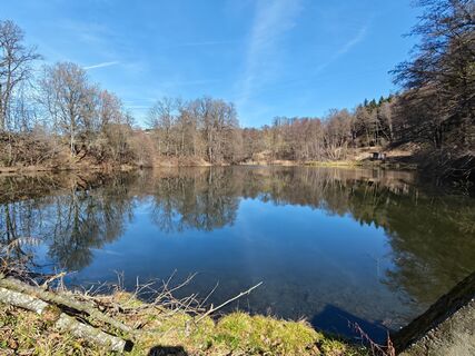
 © Gerhild ZauchnerVytvořeno dne 28.02.2026
 -
 © ToubsnVytvořeno dne 11.01.2026
 -
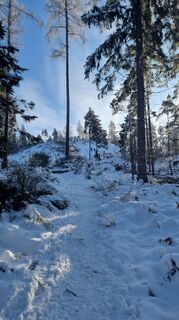 © ToubsnVytvořeno dne 11.01.2026
 -
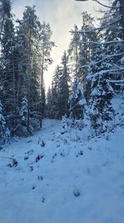 © ToubsnVytvořeno dne 11.01.2026
 -
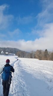 © ToubsnVytvořeno dne 11.01.2026
 -
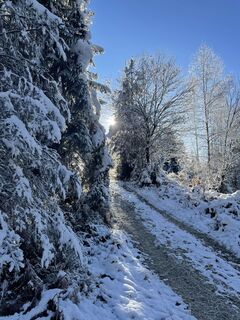
 © Stefan ChalupaVytvořeno dne 31.12.2025
 -
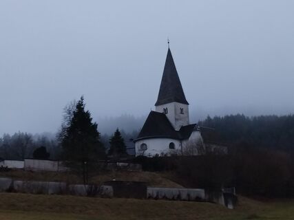
 © thomas krassnitzer 1Vytvořeno dne 06.12.2025
 -
 © thomas krassnitzer 1Vytvořeno dne 06.12.2025
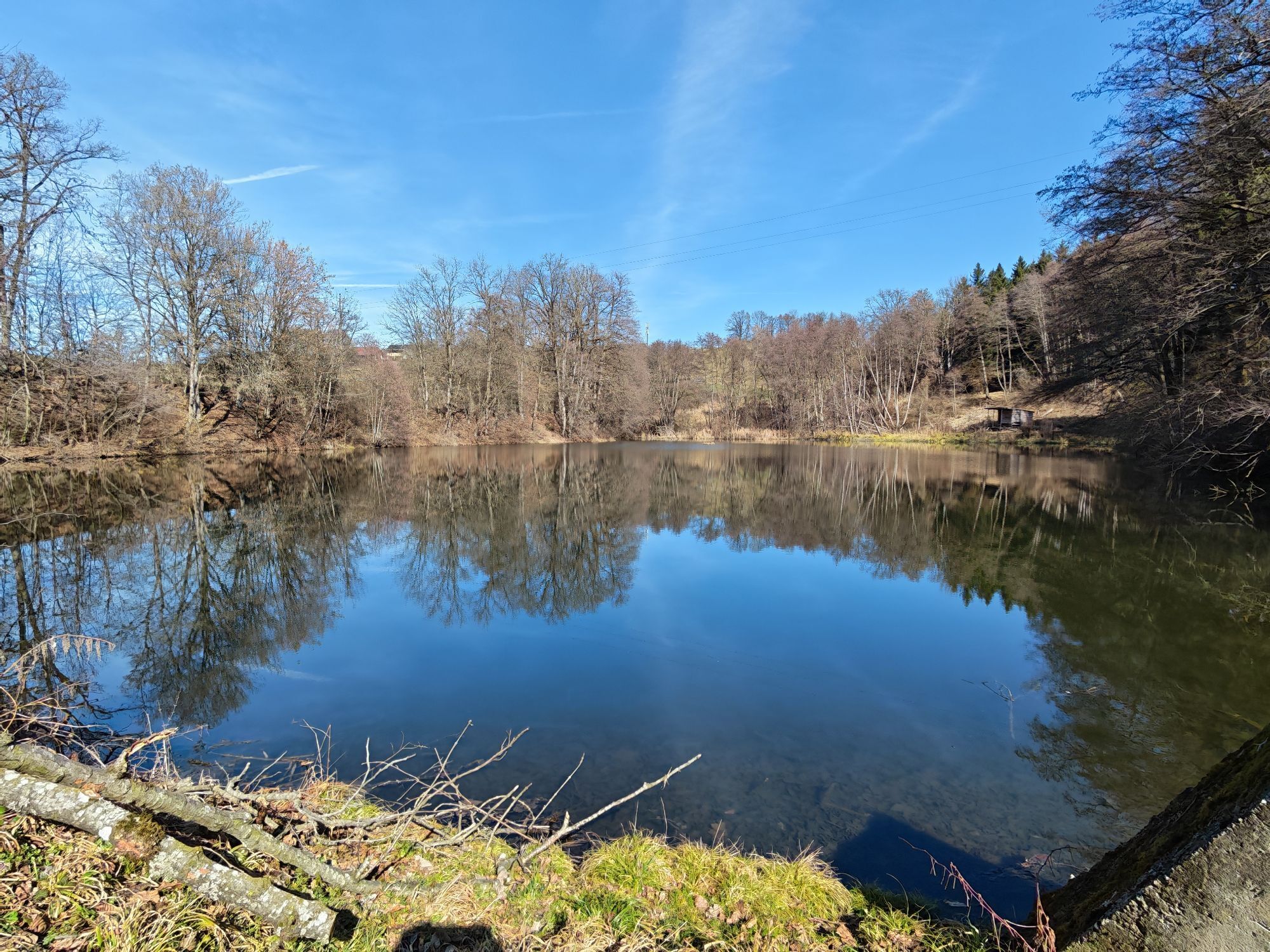
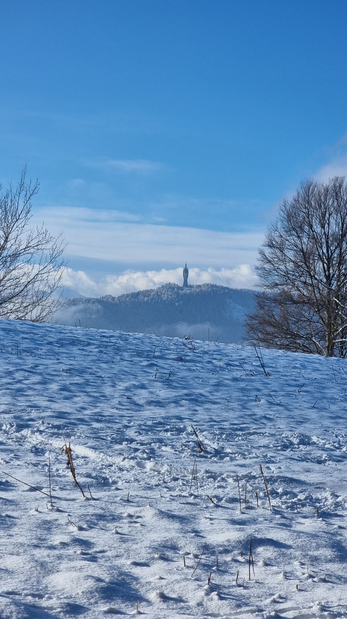
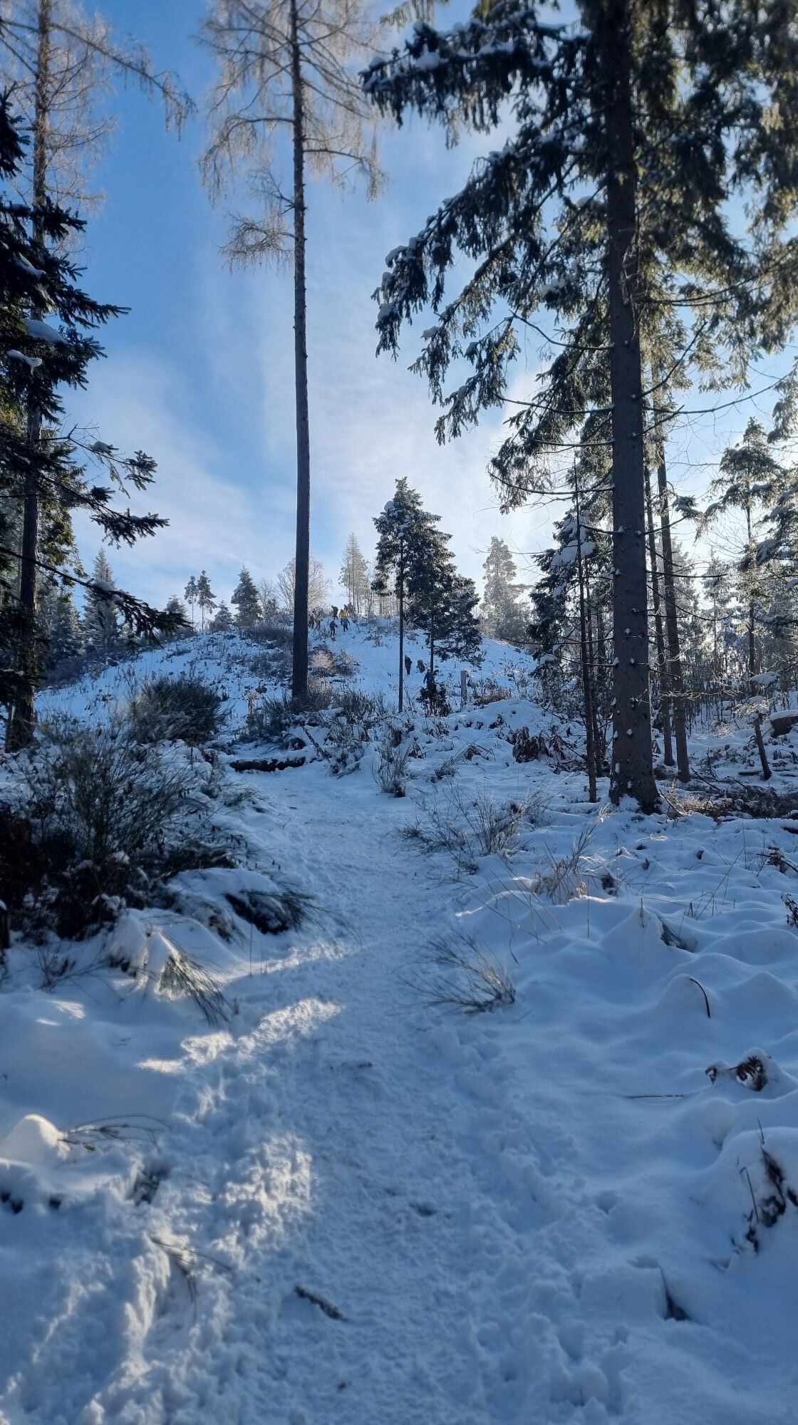
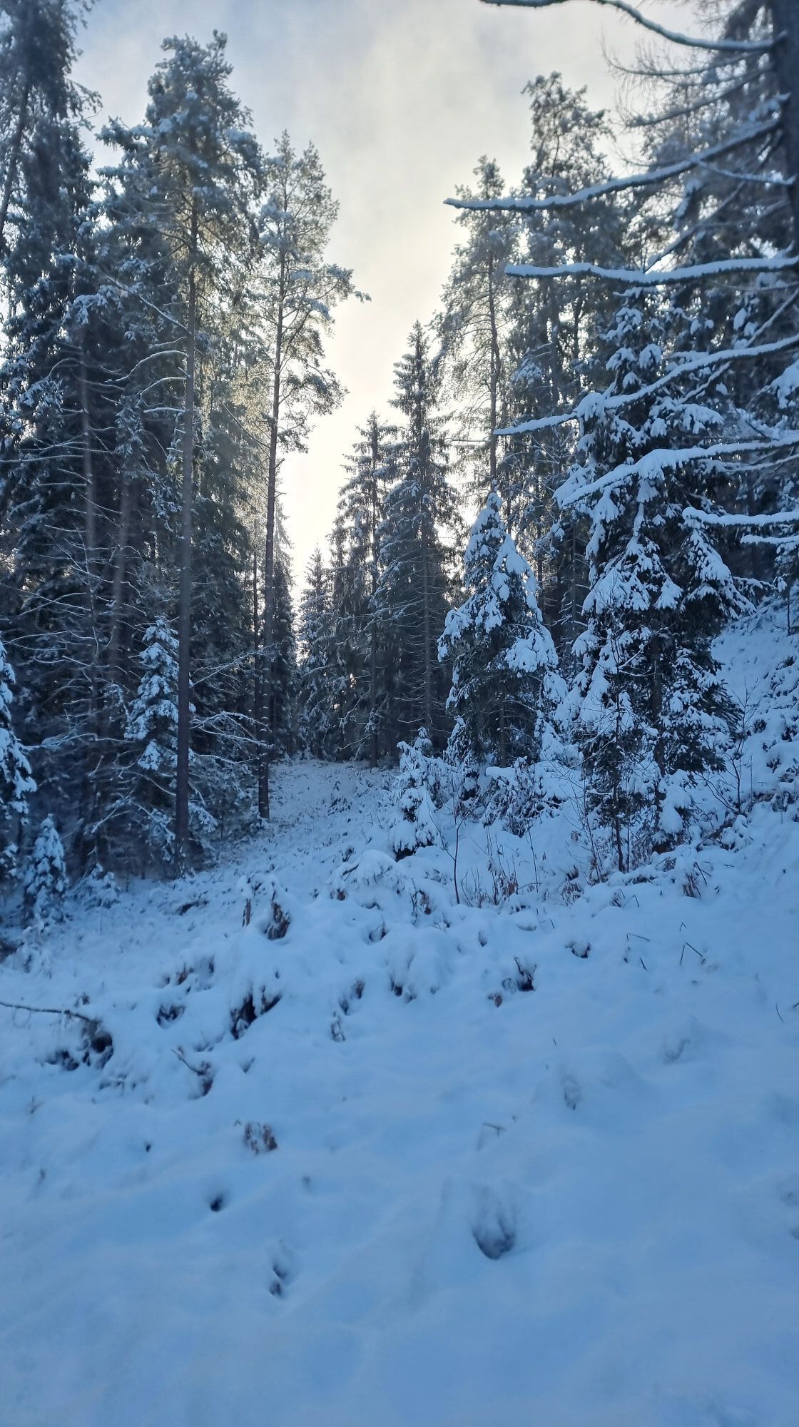
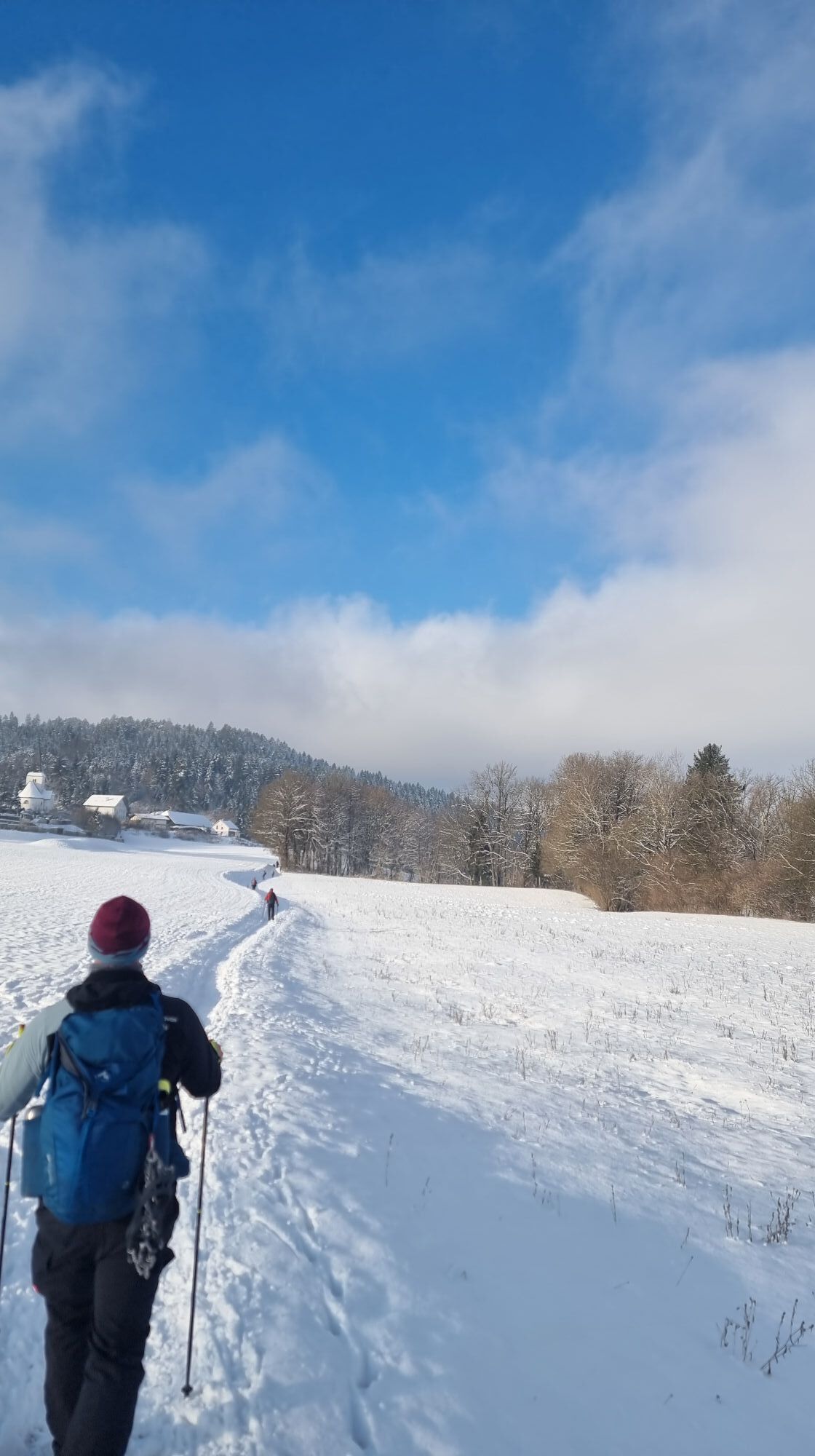
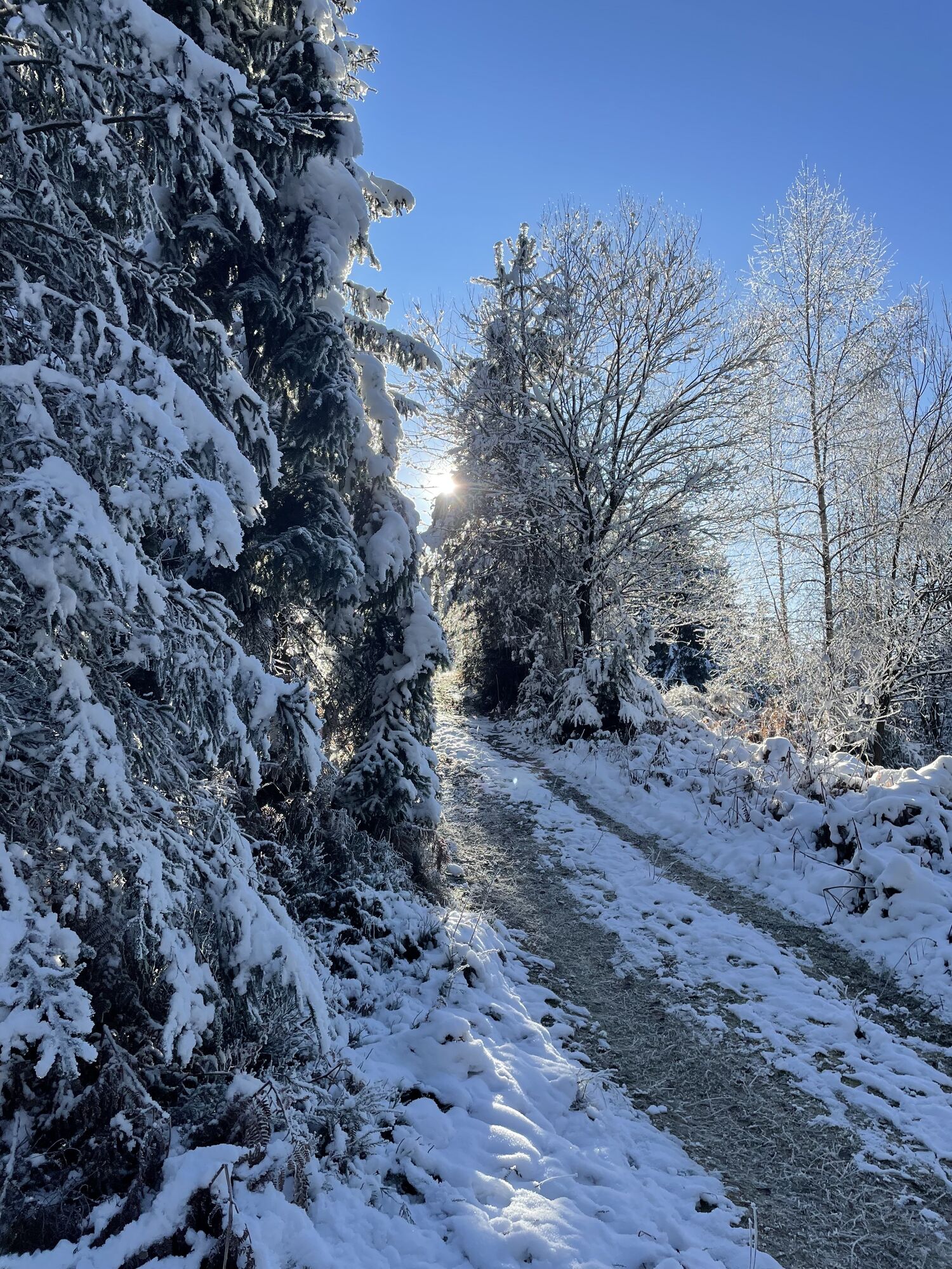
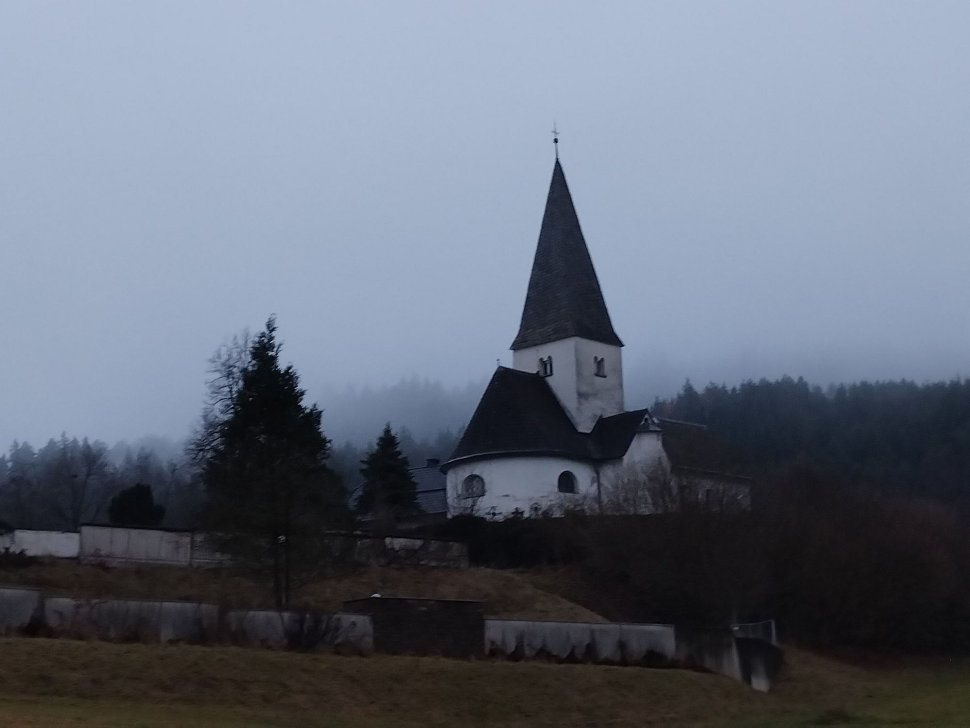
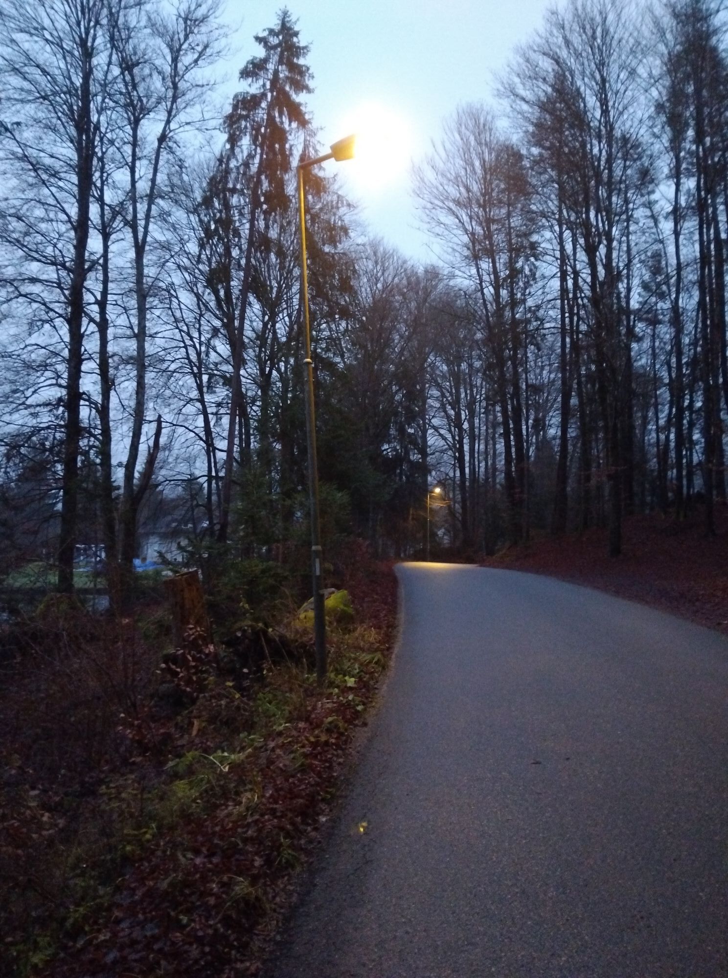
The Krumpendorf panoramic route is marked as a circular route starting from Parkbad. The approximately 16 km | 400 m ascent route leads over country and forest roads, hiking trails, and single trails mostly...
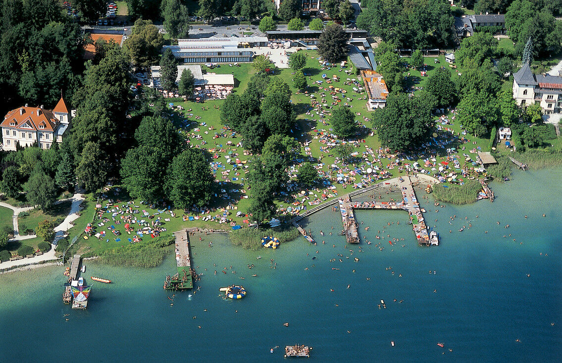
The Krumpendorf panoramic route is marked as a circular route starting from Parkbad. The approximately 16 km | 400 m ascent route leads over country and forest roads, hiking trails, and single trails mostly along the Krumpendorf municipal boundaries.
The starting point is at Parkbad Krumpendorf. Initially, it goes along the cycle path and on an asphalt country road towards Görtschach. At the edge of the town, upon entering the forest, narrow forest and hiking trails begin leading to Nussberg. From there, after a sharp left turn, it continues again for a stretch along the asphalt road towards Hohenfeld. A well-adapted forest road now leads through the woods to Hohenfeld. Please be a bit cautious here, as the federal road must be crossed shortly after leaving the “Kollehof.” Passing the Wirtnigteich, it continues on a narrow field path to Pirk, from where the connecting trail to the Pörtschach Bannwald tour is signposted. From Pirk, a well-ridable forest road leads towards Pirkerkogel. After a short, flat forest section—before the last stretch to Pirkerkogel—you are rewarded with a beautiful view of Lake Wörthersee and the surrounding mountain landscape. The final ascent leads up to Pirkerkogel. The route does not go directly to the summit of the hill, but it is easily accessible with a small detour and offers further views of the lake, the Maria Wörth peninsula, and Pyramidenkogel. Now it’s time to engage the brakes, as the way back downhill leads towards Krumpendorf village. At the Mostpresse Bürger, you return to the federal road. At the traffic lights, continue straight via Kochstraße into Pamperlallee, back to the starting point Parkbad. Please watch out for hikers and walkers along the way! We wish you much strength and joy in your calves at Lake Wörthersee!
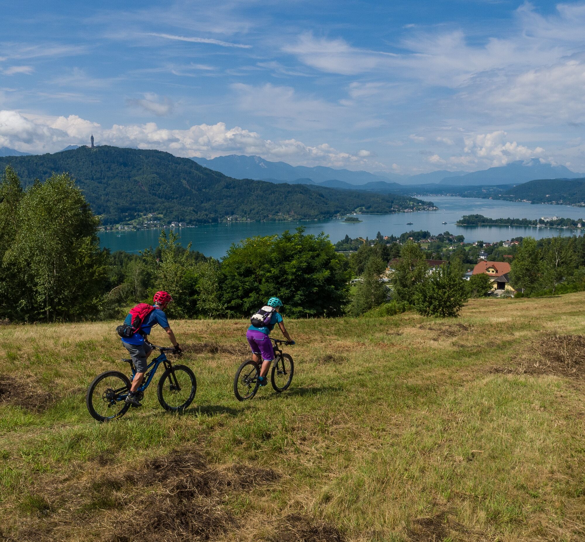
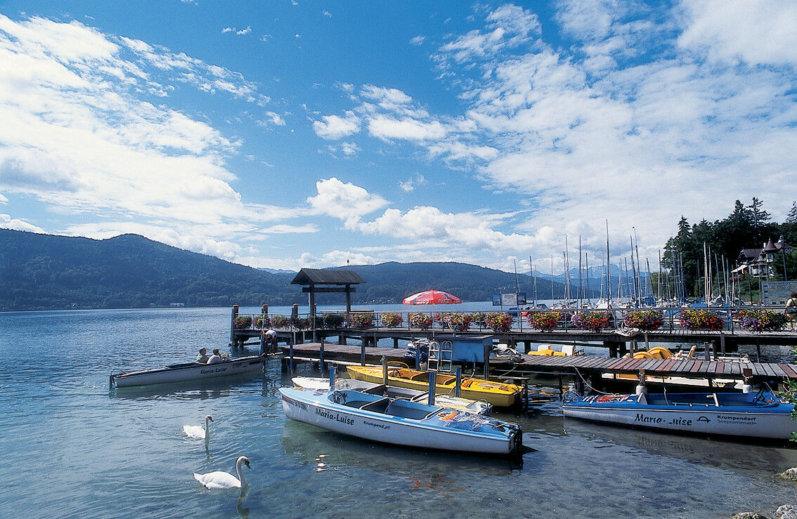

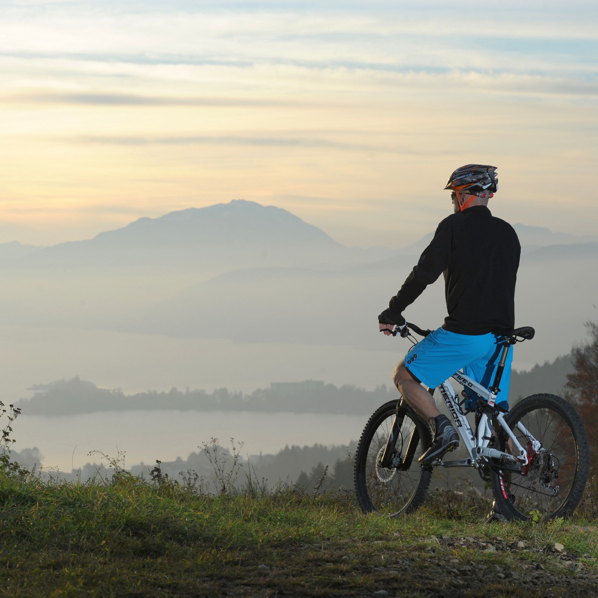

Please watch out for hikers and walkers along the way!
Take the B83 to Krumpendorf. In town, head towards Parkbad
Arrival by bus, train, or boat possible
Parking spaces available near the start
S1
 Získejte přehled
Vždy živě na místě s více než 9 500 webkamerami. bergfex Jako uživatel Pro si nyní můžete zobrazit odpovídající webové kamery pro mnoho prohlídek v aplikaci prohlídky z. Můžete si tak přímo prohlédnout aktuální podmínky.
Získejte přehled
Vždy živě na místě s více než 9 500 webkamerami. bergfex Jako uživatel Pro si nyní můžete zobrazit odpovídající webové kamery pro mnoho prohlídek v aplikaci prohlídky z. Můžete si tak přímo prohlédnout aktuální podmínky.

Oblíbené prohlídky v okolí
-
5.0
Wörthersee EXTREM
heavyTuristika 60.1 km -
4.5
Pyramidenkogel path Maria Wörth
středníTuristika 10.8 km -
4.3
Cycling around Lake Wörthersee – leisurely cycling between turquoise blue water and fantastic views
středníJízda na kole 48.2 km -
4.8
Abenteuer-Wasser-Weg
středníTuristika 9.13 km -
4.7
Vierbergelauf
středníPoutní stezka 47.6 km -
4.7
Zillhöhe
středníBěh 7.94 km -
4.7
Hoher Gallin route
středníTuristika 7.09 km -
4.5
Maria Rain-Petelinz-Kaiserhütte
světloTuristika 6.45 km -
4.5
Ulrichsberg
světloTuristika 5.60 km -
3.9
Lake Wörthersee Circular Route
středníJízda na kole 41.2 km
Pěší turistika a stopování


Nenechte si ujít nabídky a inspiraci pro vaši příští dovolenou
Vaše e-mailová adresa byl přidán do poštovního seznamu.





