







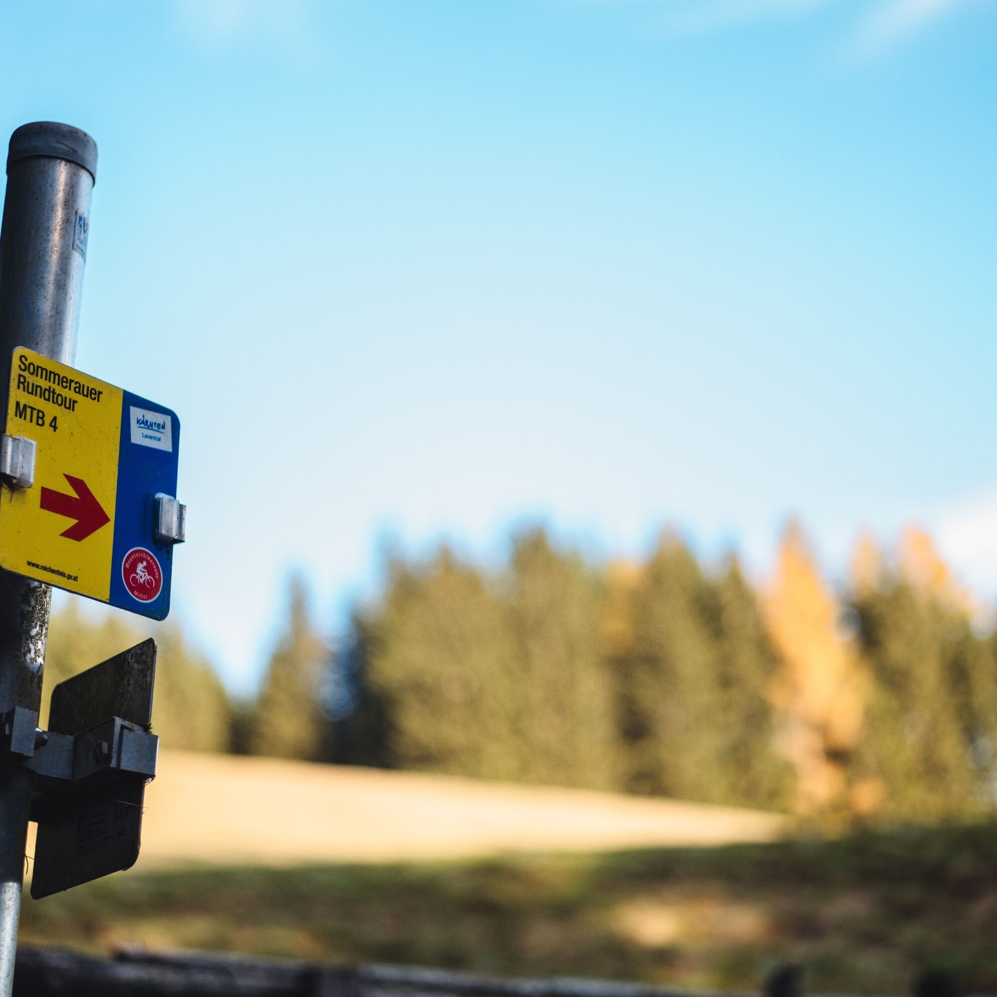
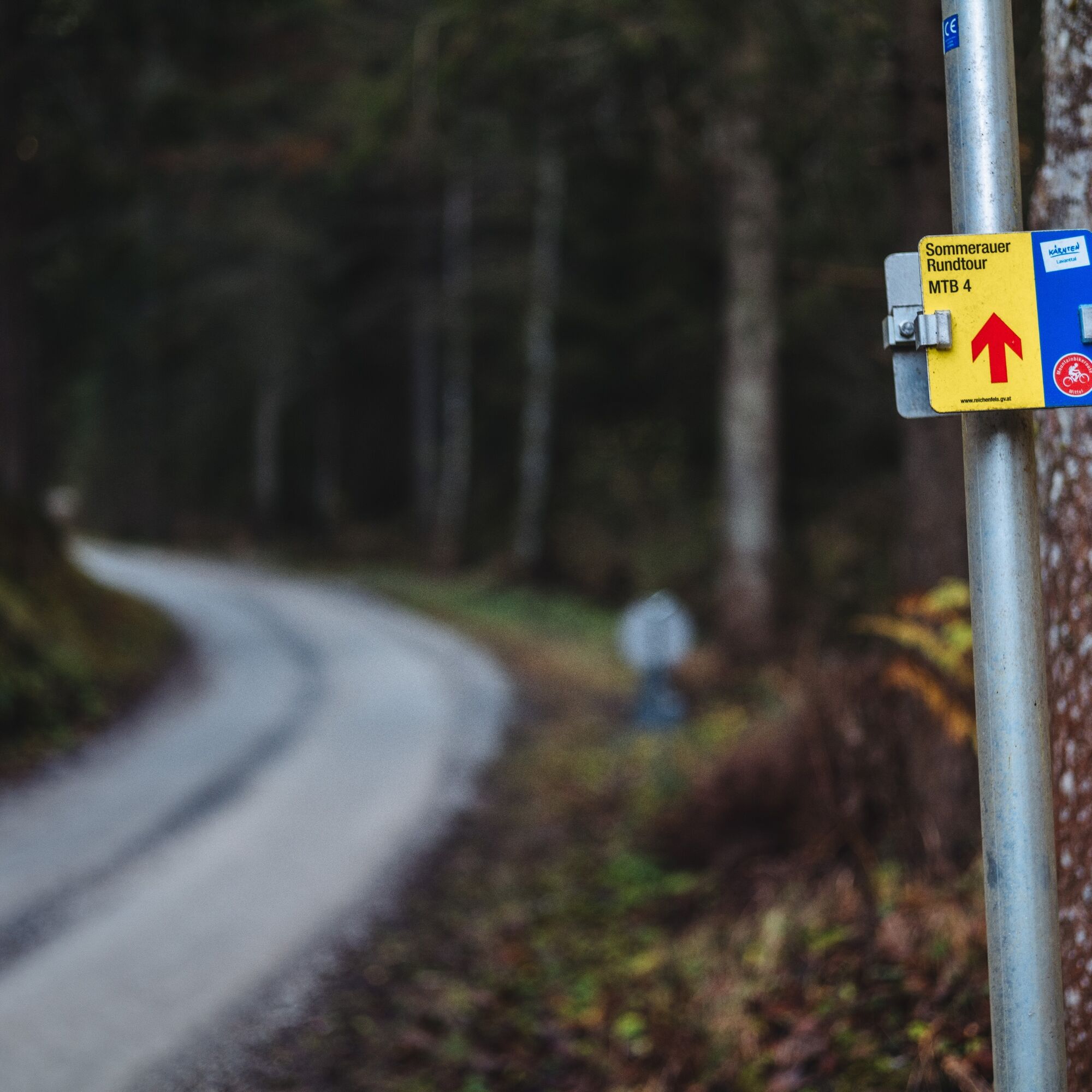
MTB 4 - Sommerauer Round Route - Reichenfels

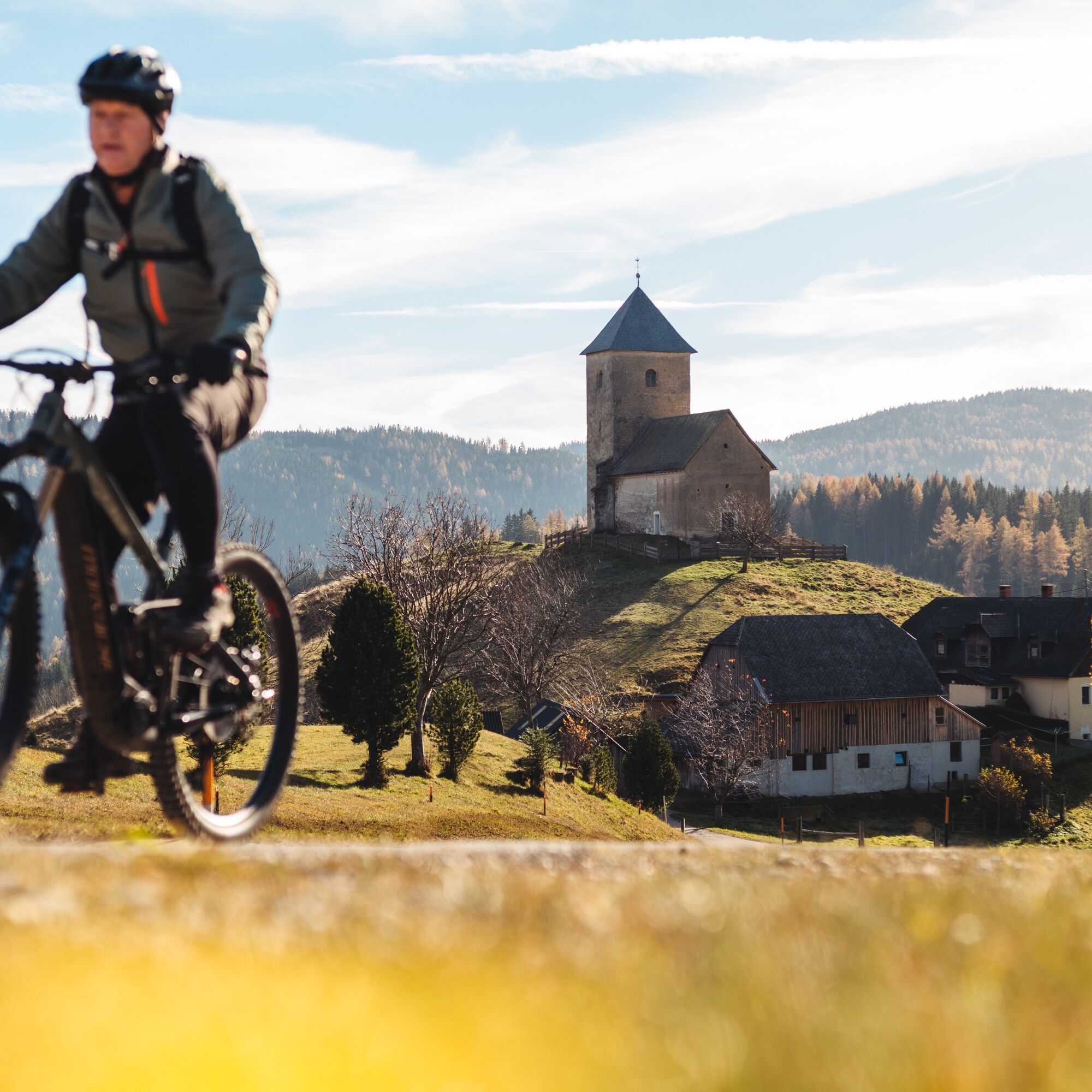
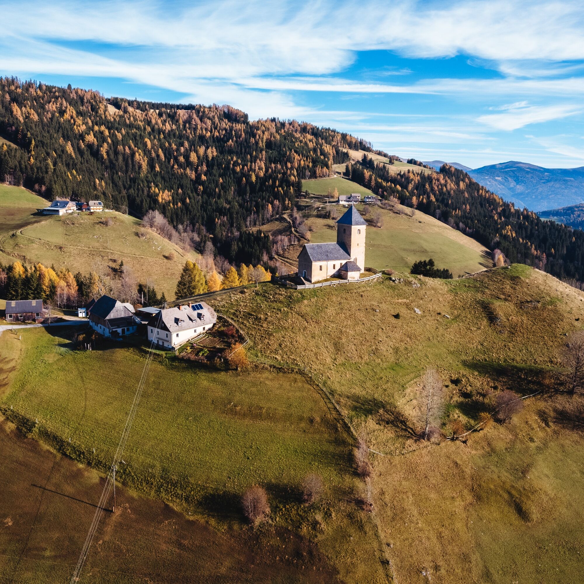
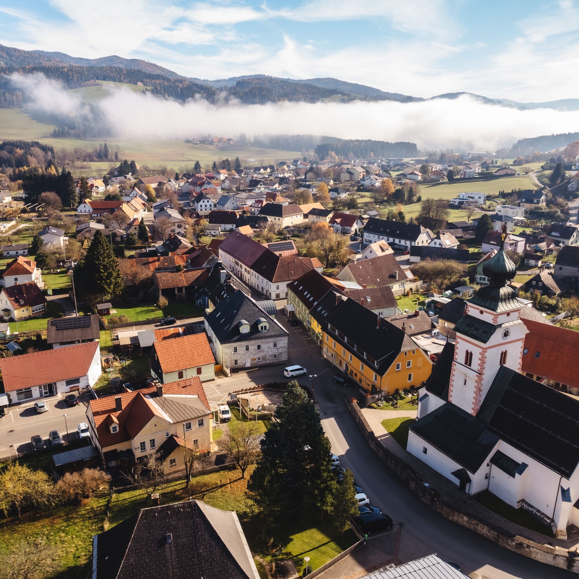
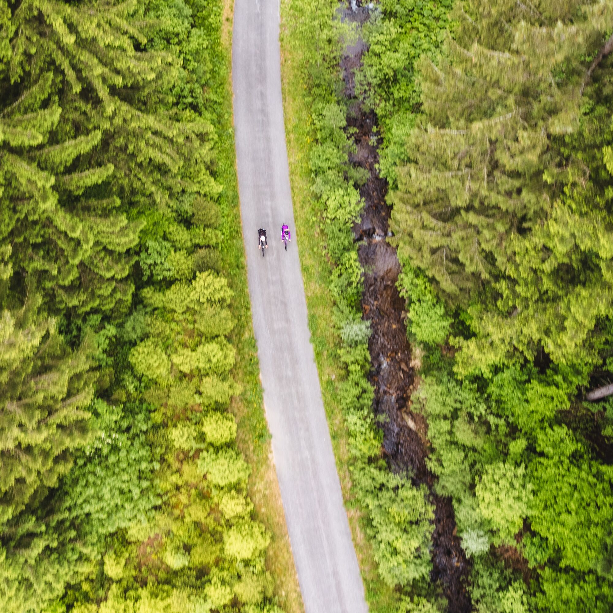
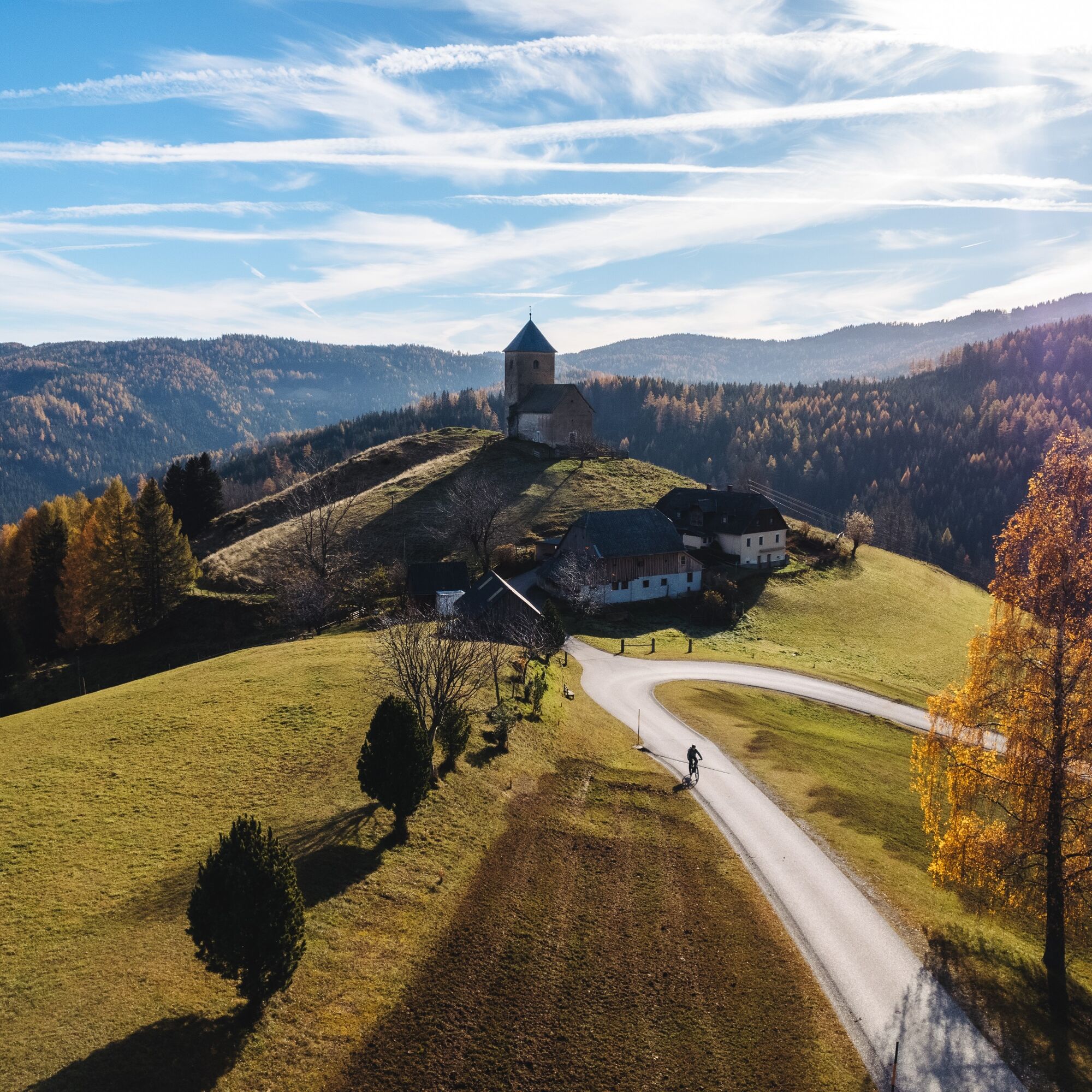
This mountain bike route leads to the mountain village of Sommerau. This gem, belonging to the market town of Reichenfels, is still inhabited today by six mountain farming families – around 1900, there...

Ano
The helmet is a given when mountain biking.
Right clothing!
Always carry warm clothing and a spare jersey, especially in early and late season summer. At higher altitudes, bad weather without rain protection is uncomfortable.
Carry emergency equipment!
Always have bandages, bike repair kit (spare tube, pump, tools), map, phone, and possibly GPS with you (Note: Reception is not guaranteed everywhere in the mountains).
Keep drinking & eat on time!
Drink enough and plan a stop in good time. A hungry rest in the middle of nowhere is tough.
Always ride defensively and only as fast as you can stop in time for obstacles or avoid oncoming traffic. Always be alert. Cool is who passes pedestrians and hikers slowly.
Right self-assessment!
Don’t overstrain yourself and your companions. Plan reserves. A breakdown before the last mountain or bad weather wears down endurance and morale.
Start on time!
Especially in early and late season, make sure you reach your daily goal well before dark and plan reserves.
Bad weather in the mountains!
If bad weather arises, quickly leave higher altitudes (descend or turn back)! With the bike, you can quickly reach the starting point or the valley again. Remember the possibility of snowfall. Impassable sections! If obstacles appear on the route (snow, mudslide, windthrow, ...), make sure you can still safely pass. Never leave the marked path! Turn around early enough if you don’t feel safe!
A2 South Motorway – Exit Bad St. Leonhard – direction Reichenfels
Arrival by bus possible.
ÖBB - Post timetable
Parking facilities in the village.
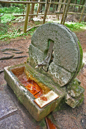
Near Reichenfels, located on one of the seven well-signposted spring hiking trails, the water of the Kölzer Spring comes to light.
Webové kamery z prohlídky

Oblíbené prohlídky v okolí
- 4.6
Zirbitzkogel-Runde über Lindersee
středníTuristika 10.5 km - 4.6
Klippitztörl - Geierkogel loop trail no. G
středníTuristika 6.79 km - 5.0
Rothaidehütte Runde Zirbitzkogel
středníTuristika 6.17 km - 4.6
Bad St. Leonhard: L5 hike Kliening - Sauerbrun
středníTuristika 9.49 km - 4.9
Zirbitzkogel, 2396m, von Winterleiten Hütte
středníTuristika 10.5 km - 4.9
Zirbitzkogel Wildsee Rothaidehütte
středníTuristika 15.4 km - 3.9
Vom Almidyll Sabathy (Sabathyhütte) auf den Zirbitzkogel
středníTuristika 7.70 km - 4.7
Skitour Hohe Ranach
středníLyžařská trasa 3.04 km - 4.8
Zirbitzkogel Waldheimhütte - Wildsee - Fuchskogel - Zirbitzkogel, Steiermark/Österreich
středníTuristika 15.2 km - 4.8
Von der Sabathy über die Winterleiten auf den Zirbitzkogel
středníTuristika 14.8 km
Pěší turistika a stopování


Nenechte si ujít nabídky a inspiraci pro vaši příští dovolenou
Vaše e-mailová adresa byl přidán do poštovního seznamu.





