







3-Lakes Round HP10
Úroveň obtížnosti: S1
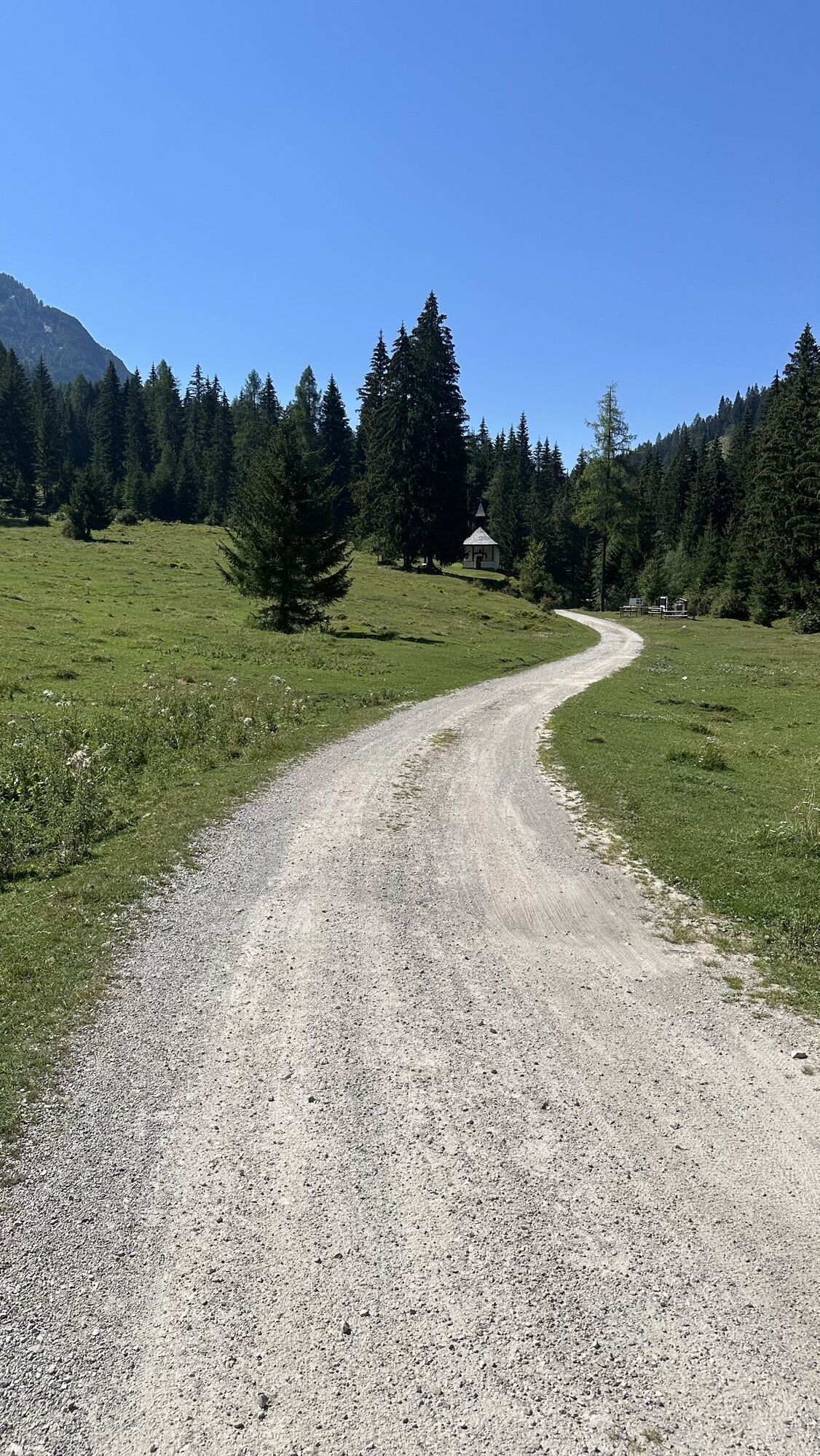
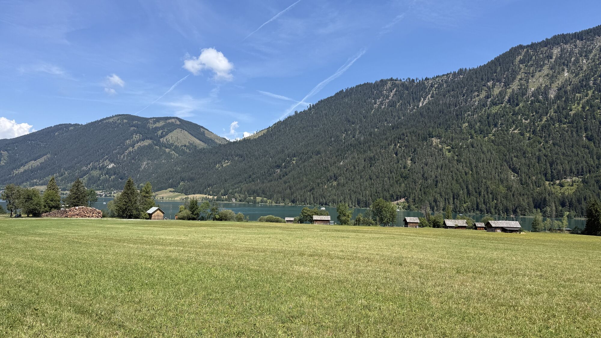
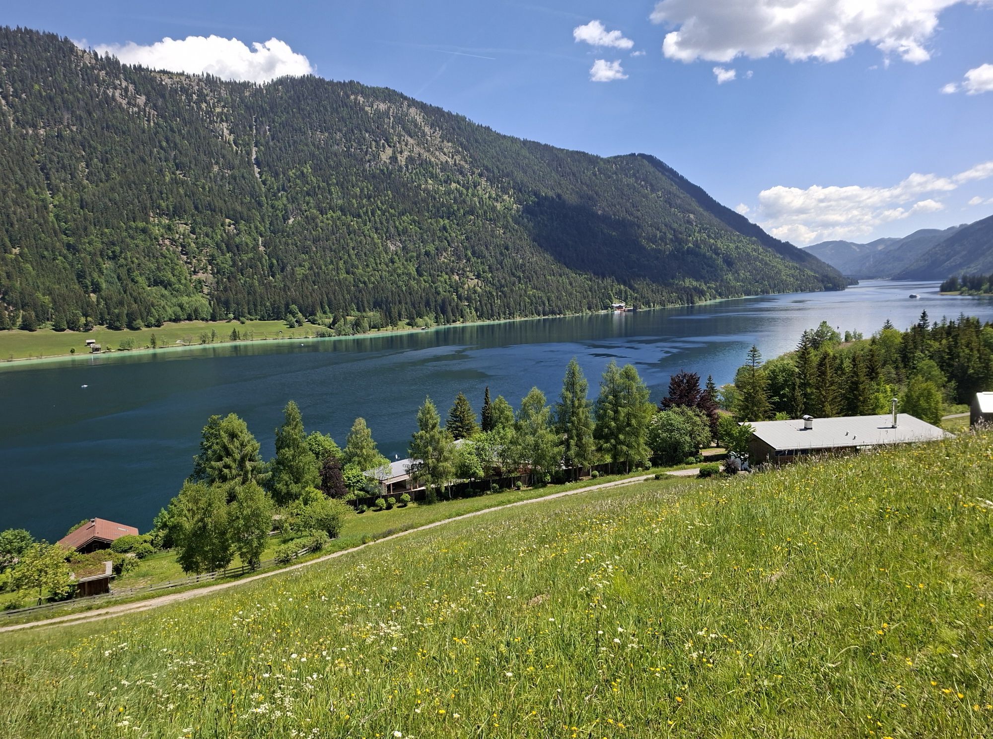
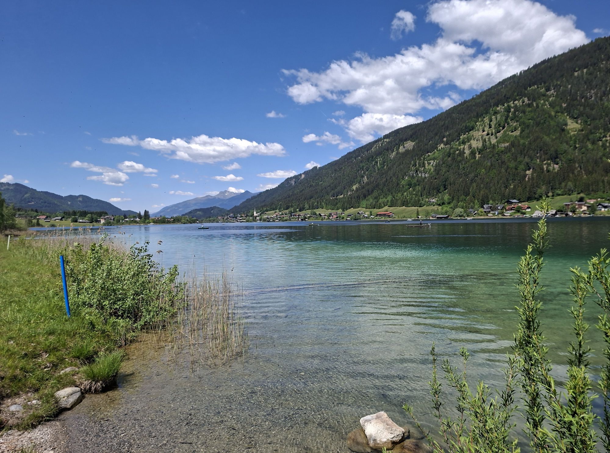

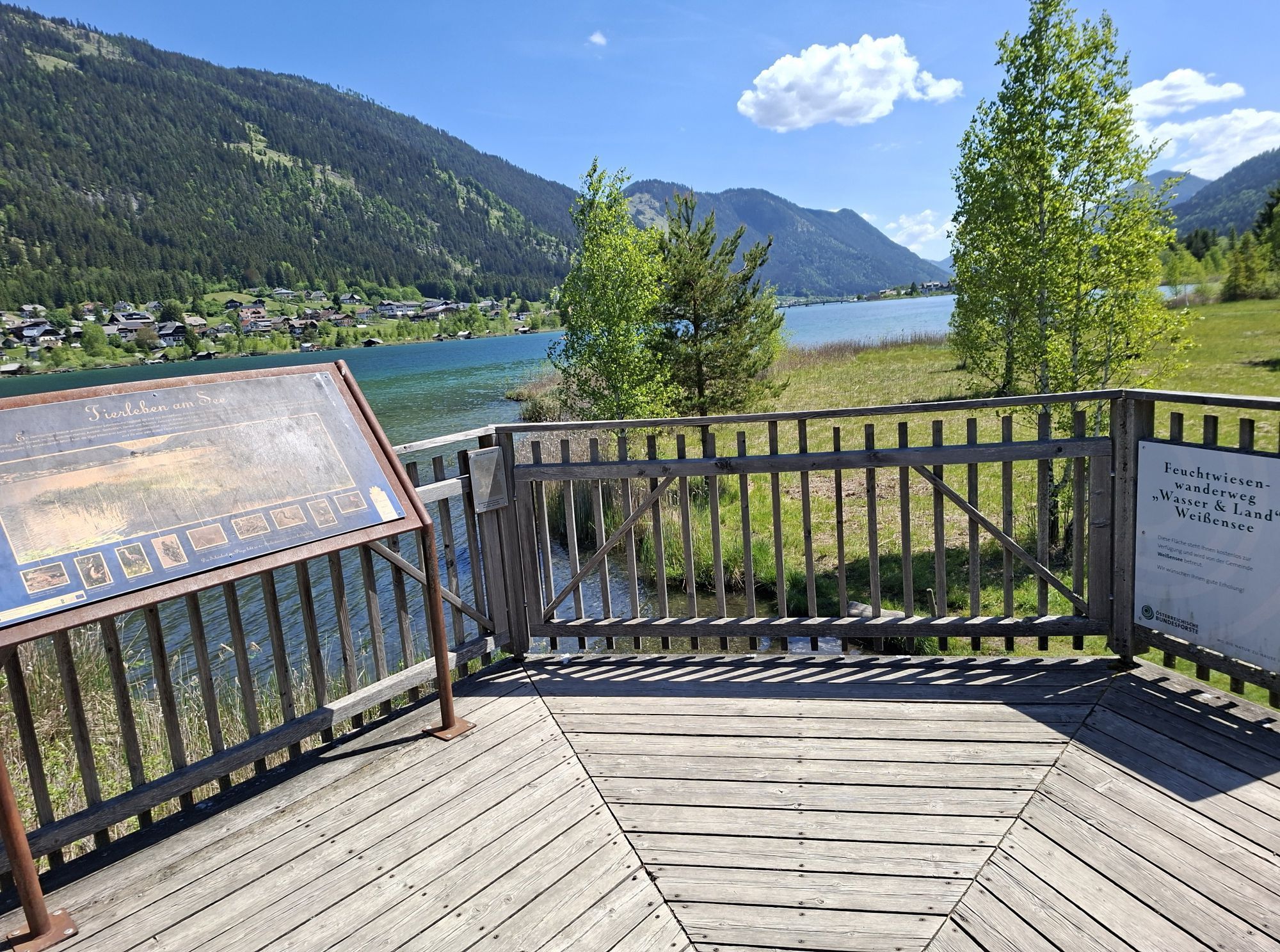
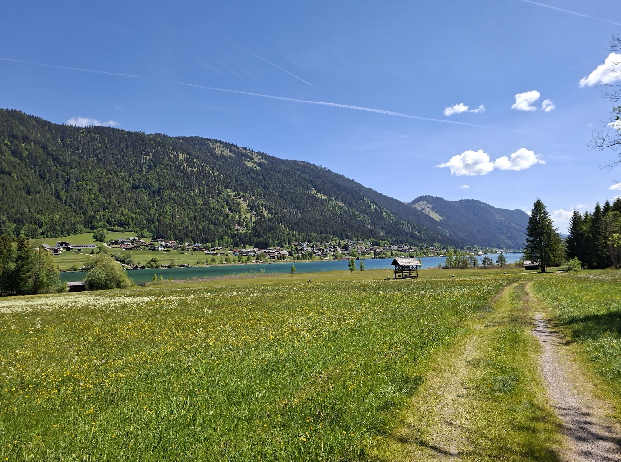
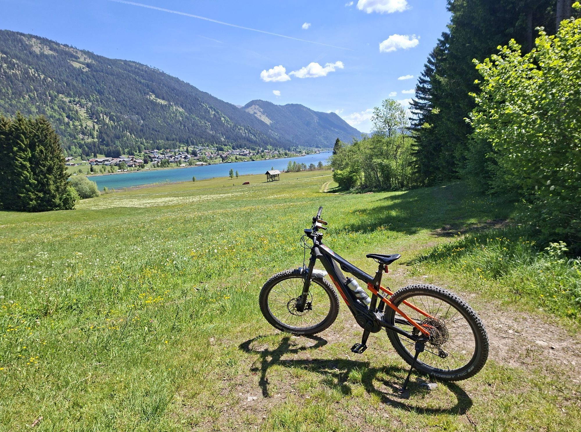
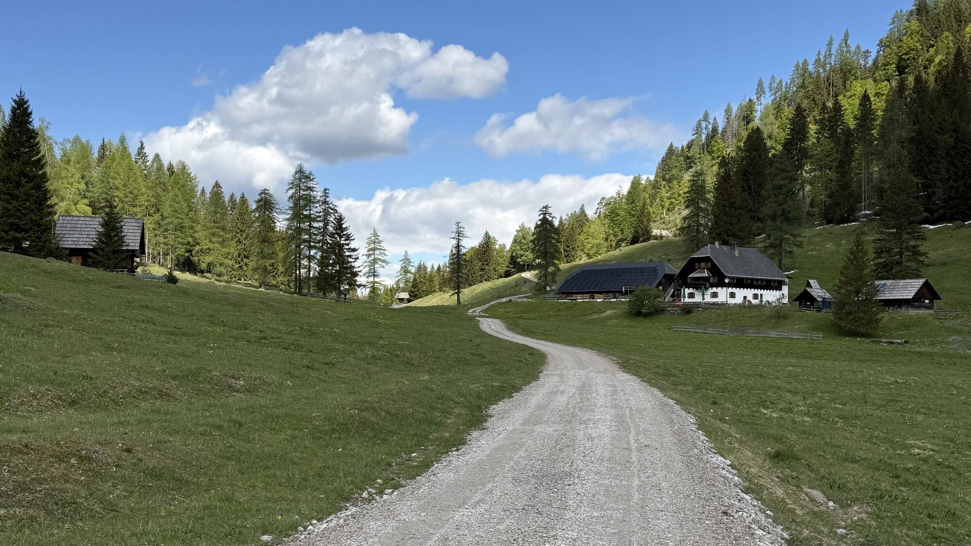
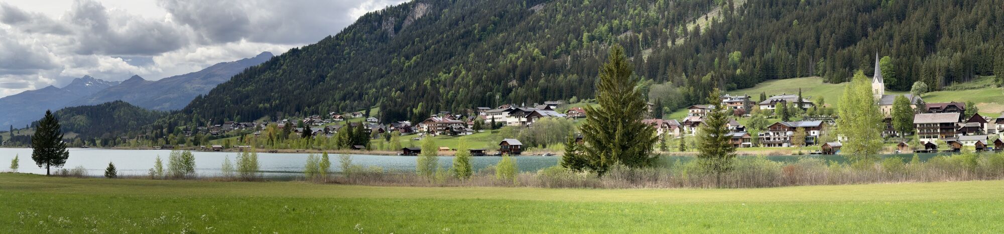
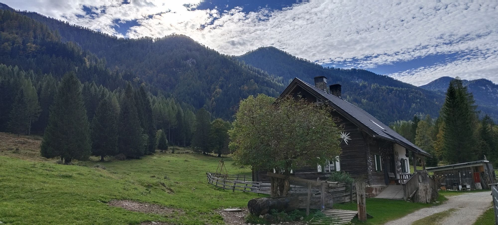

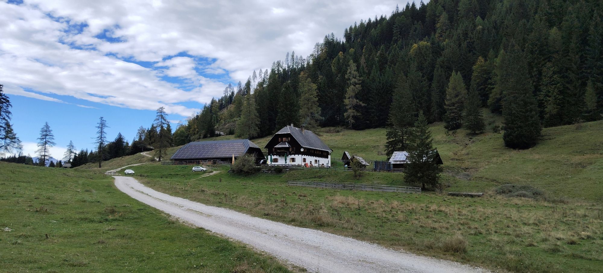
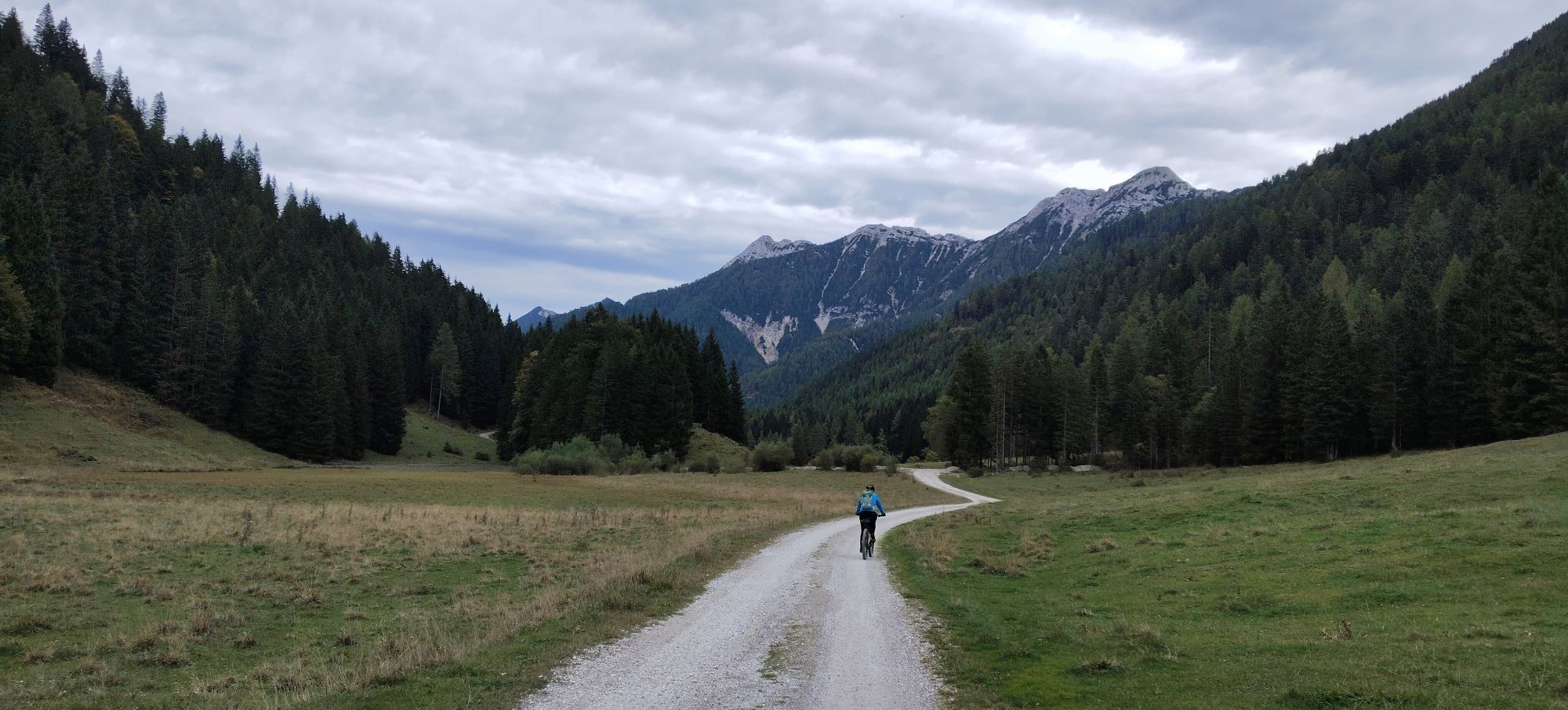
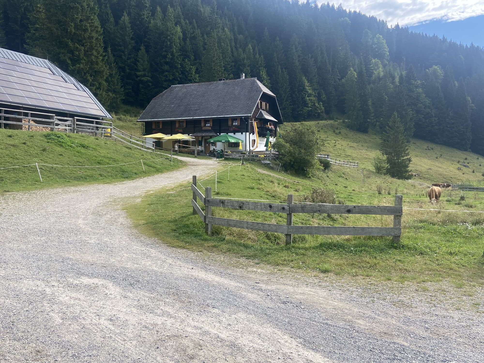
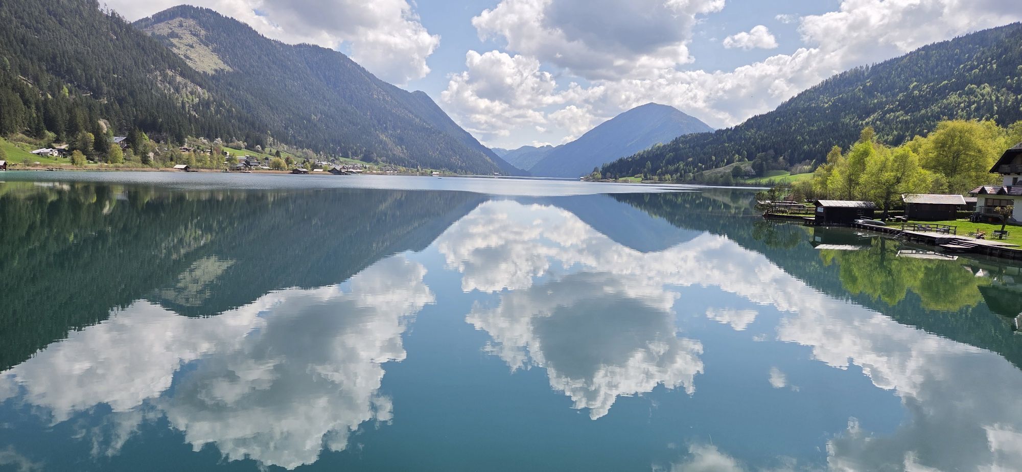
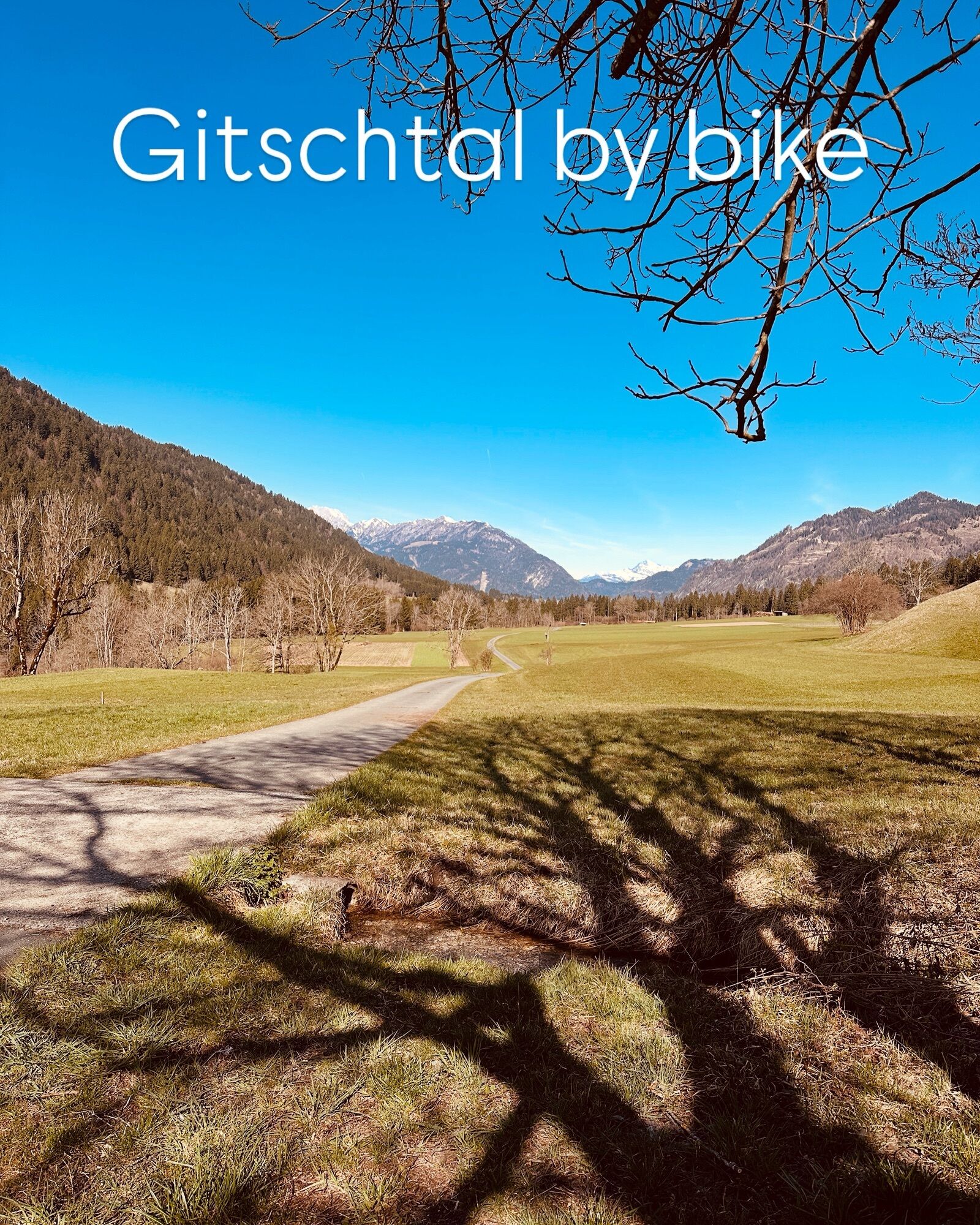
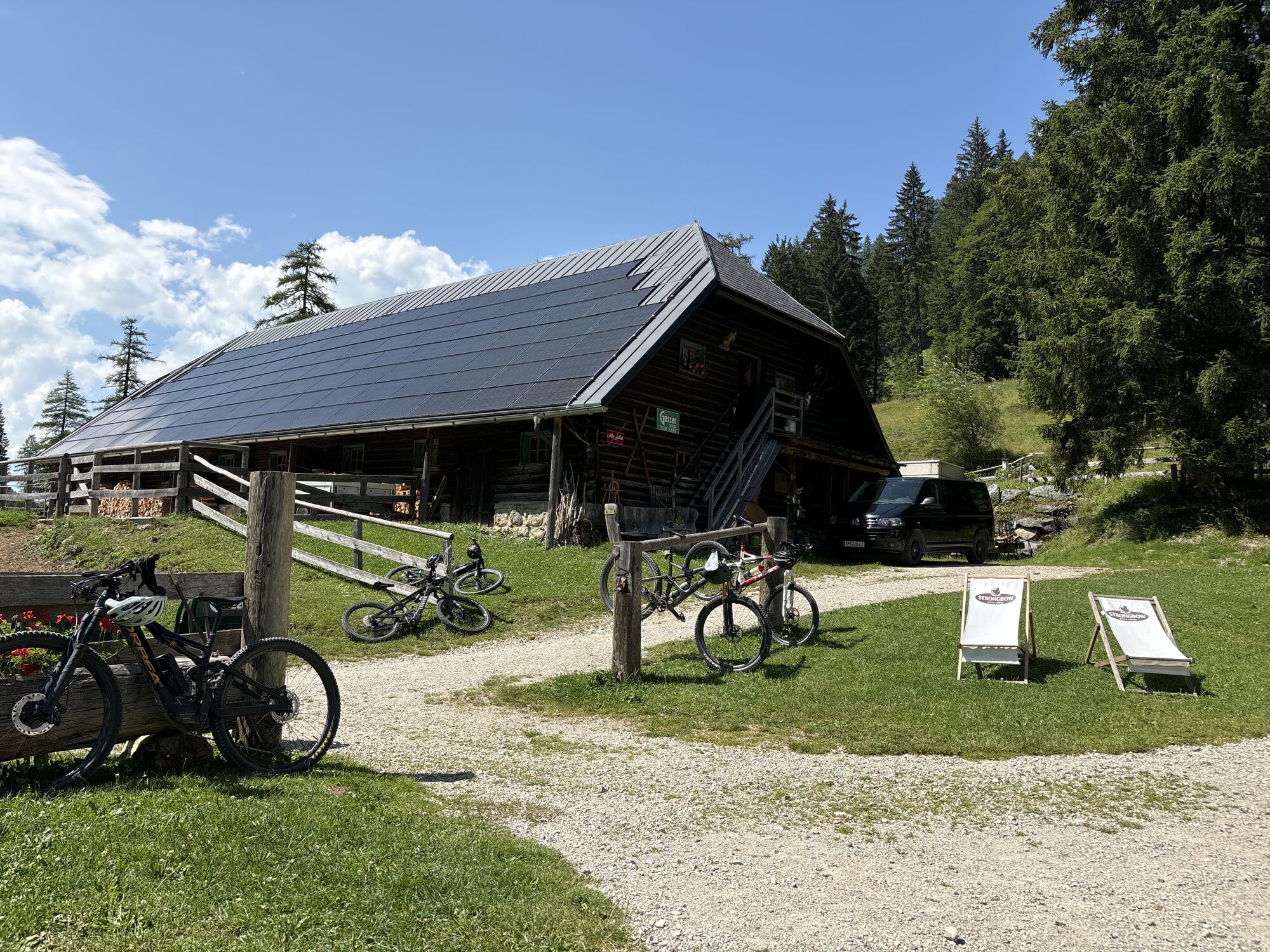
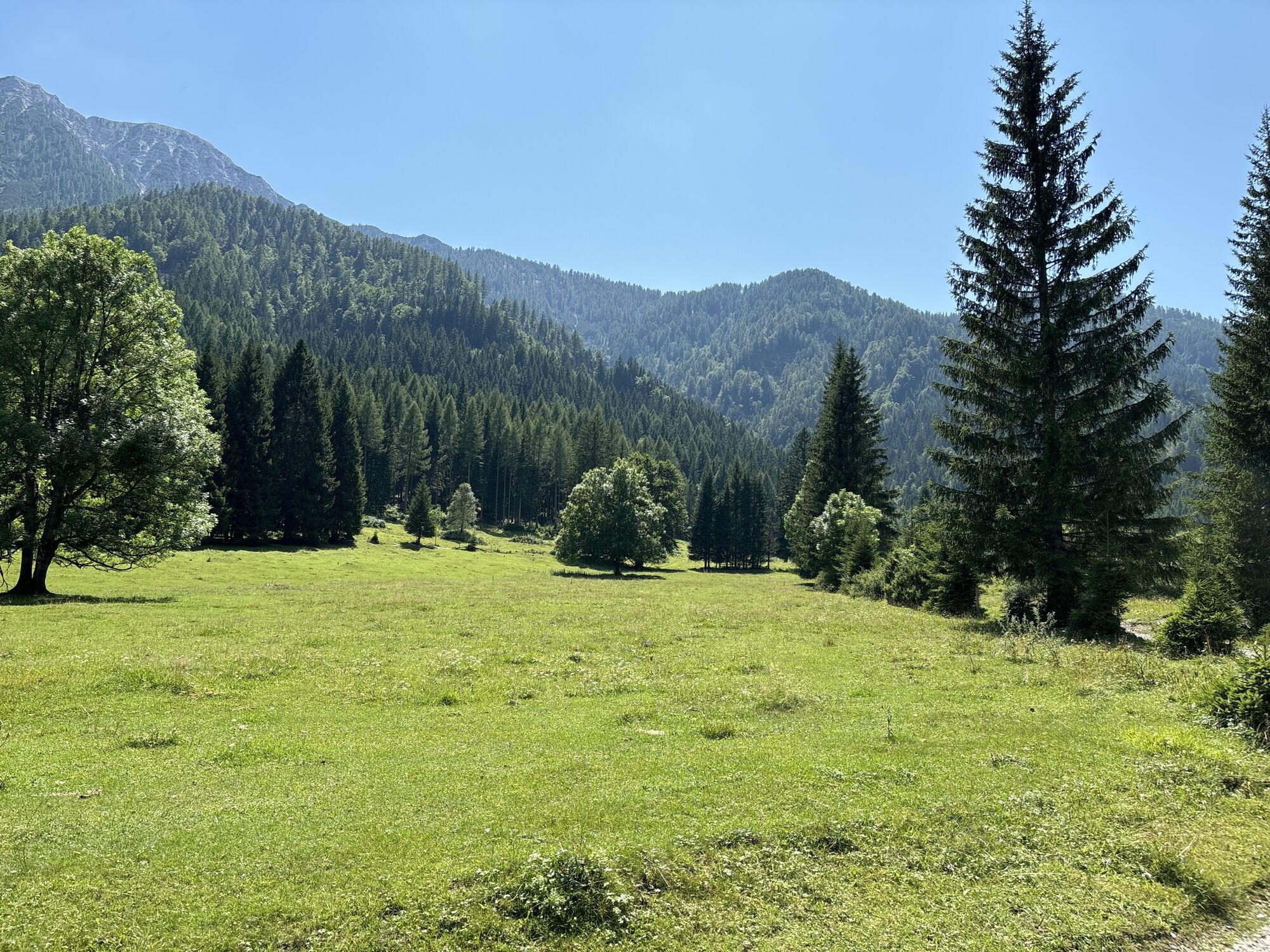
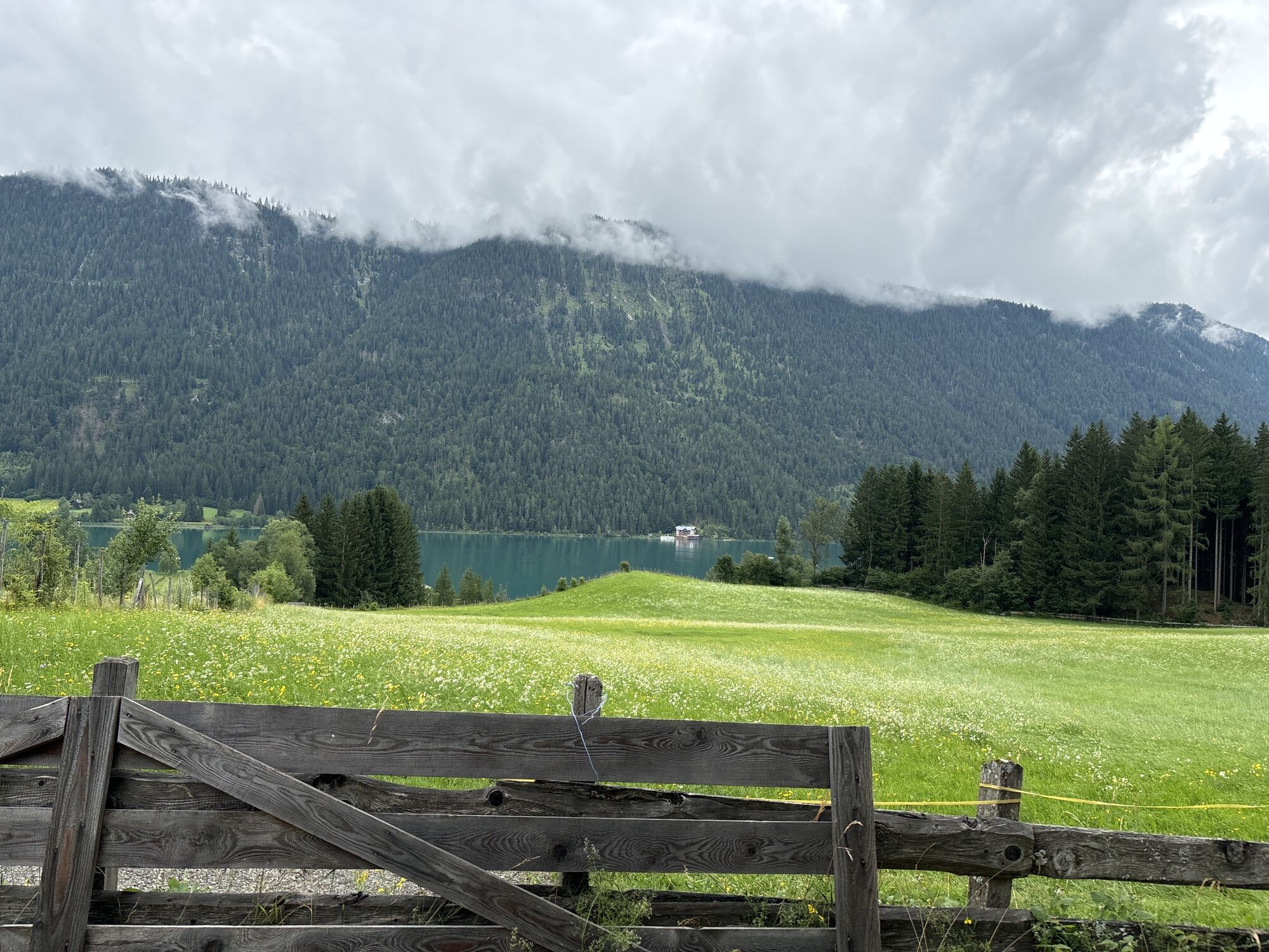
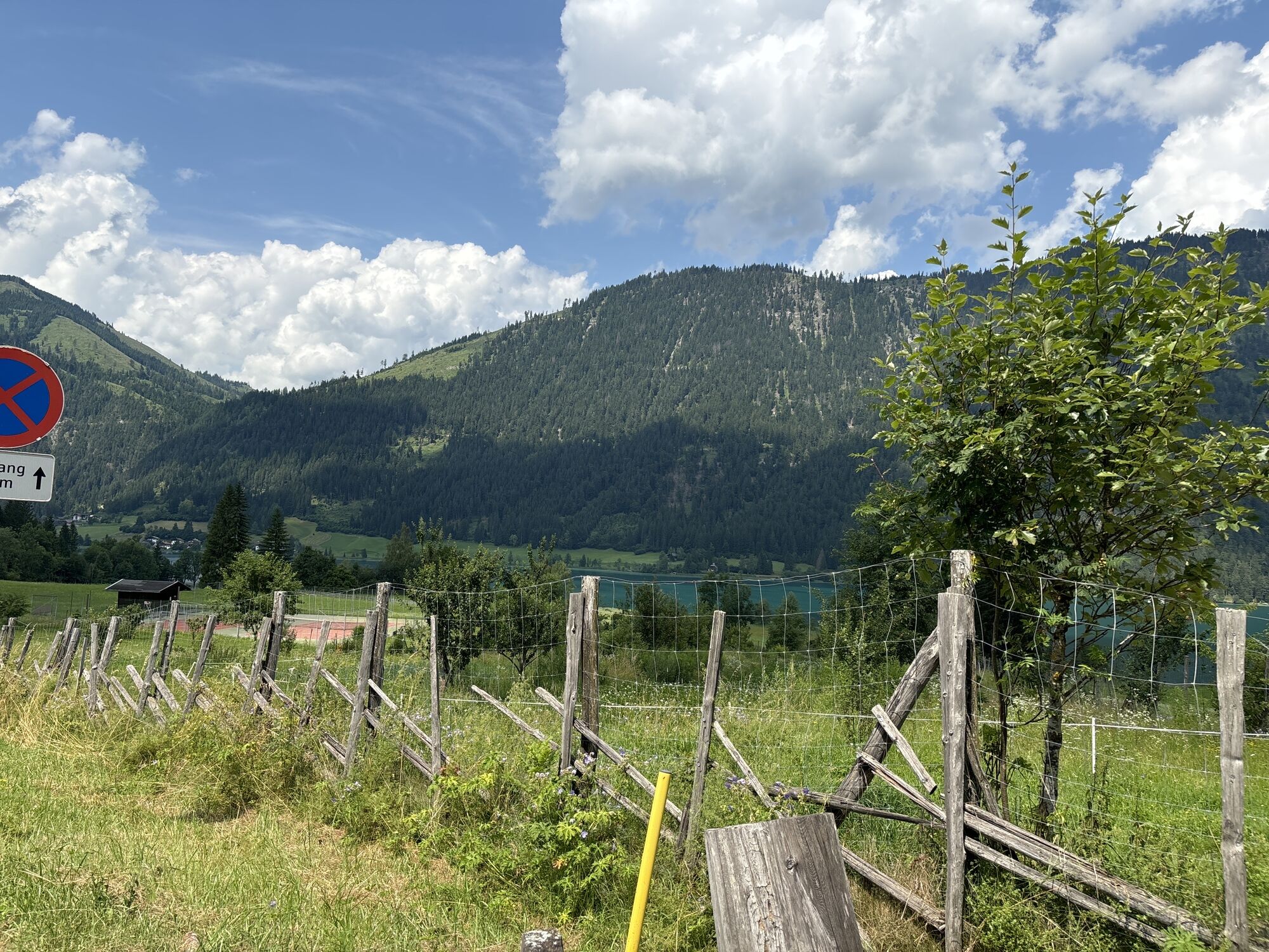
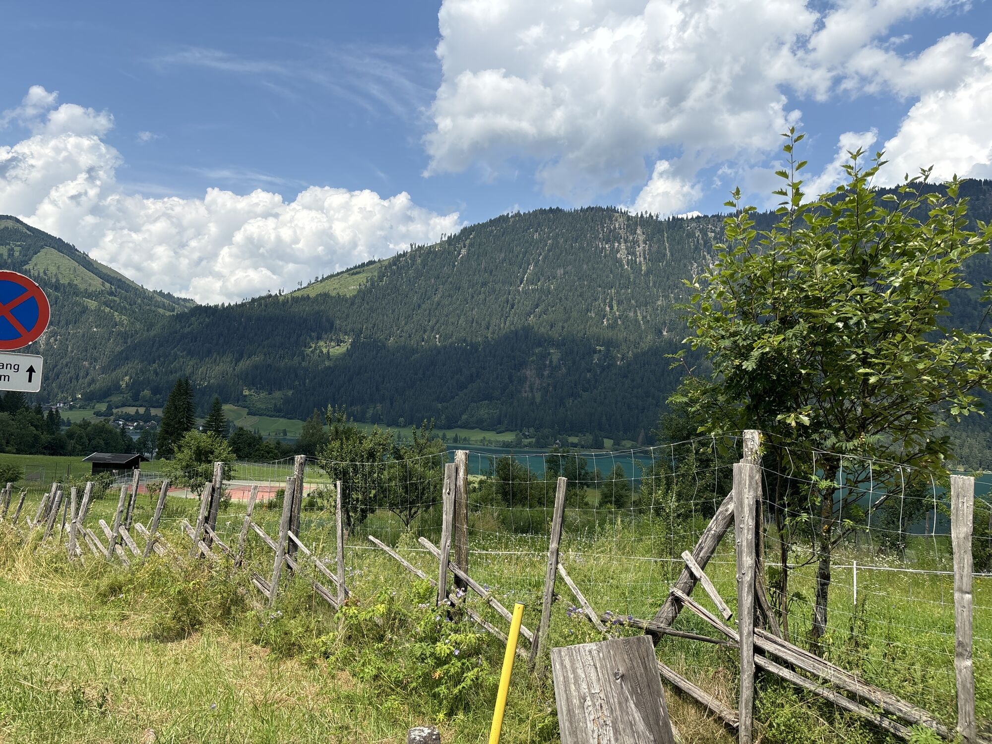
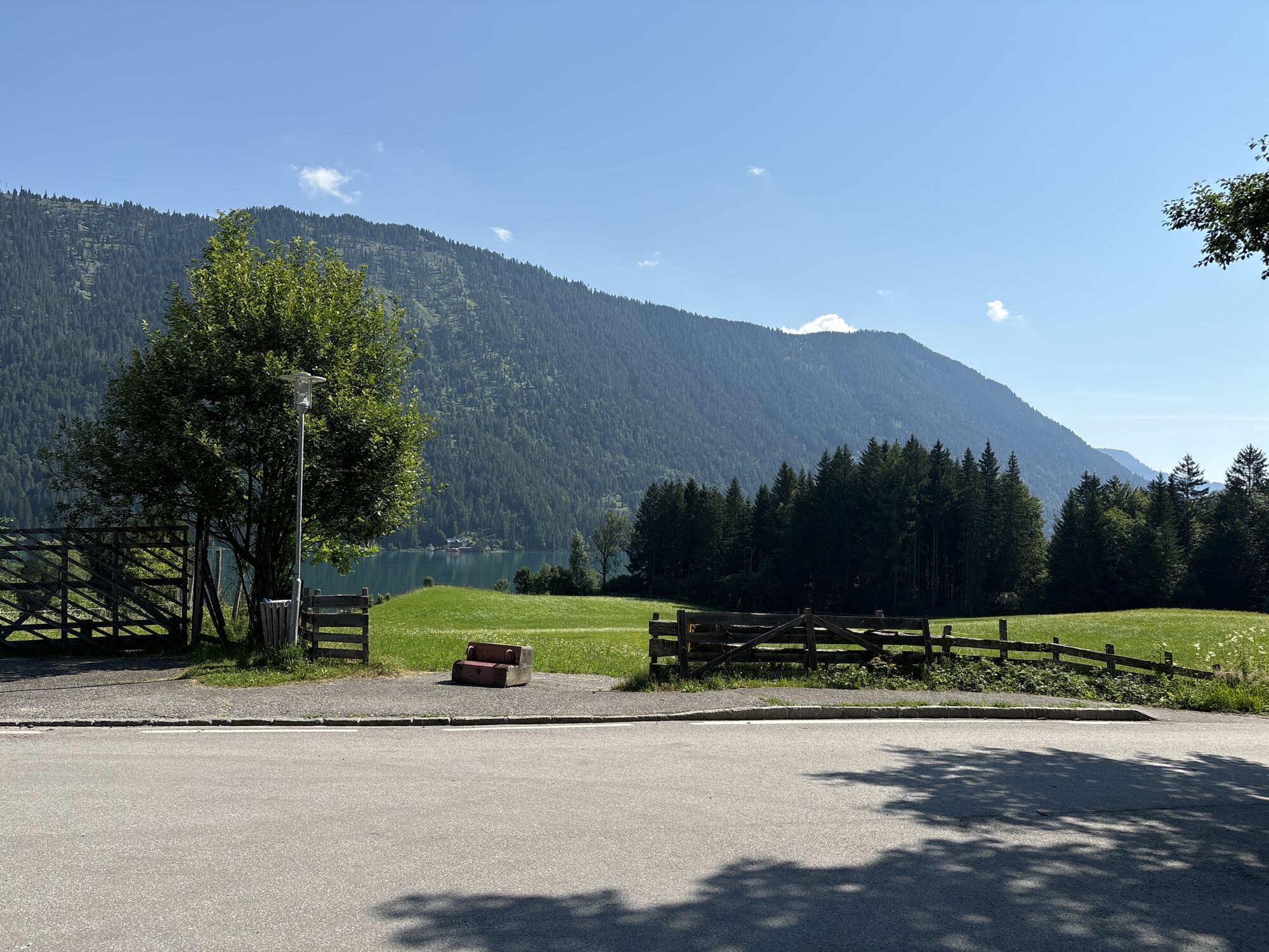
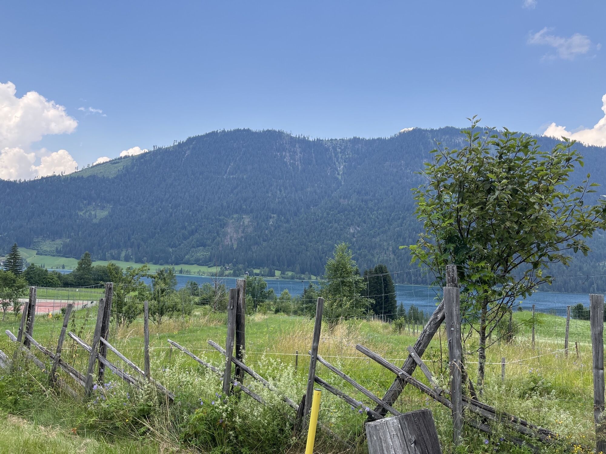
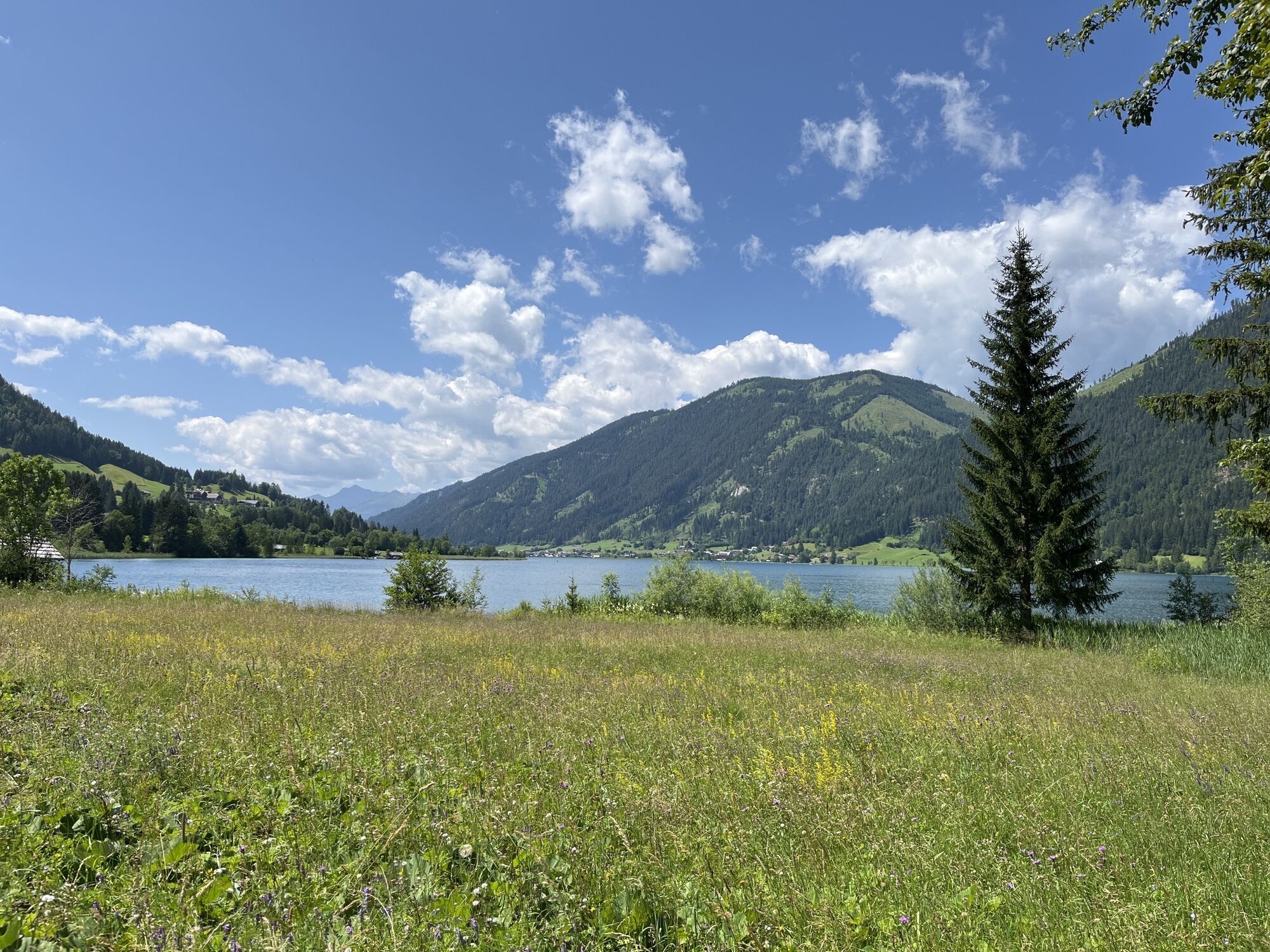
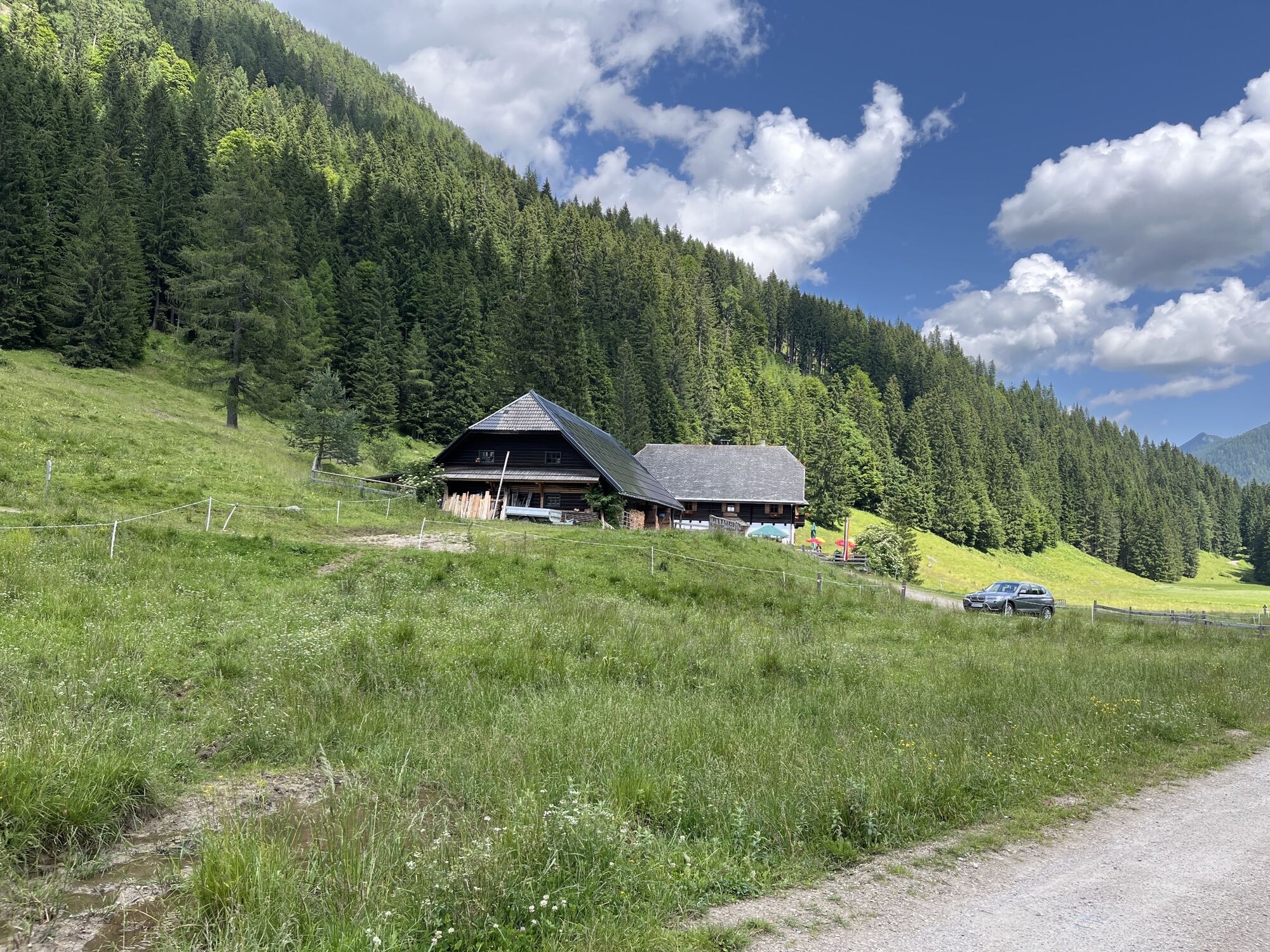
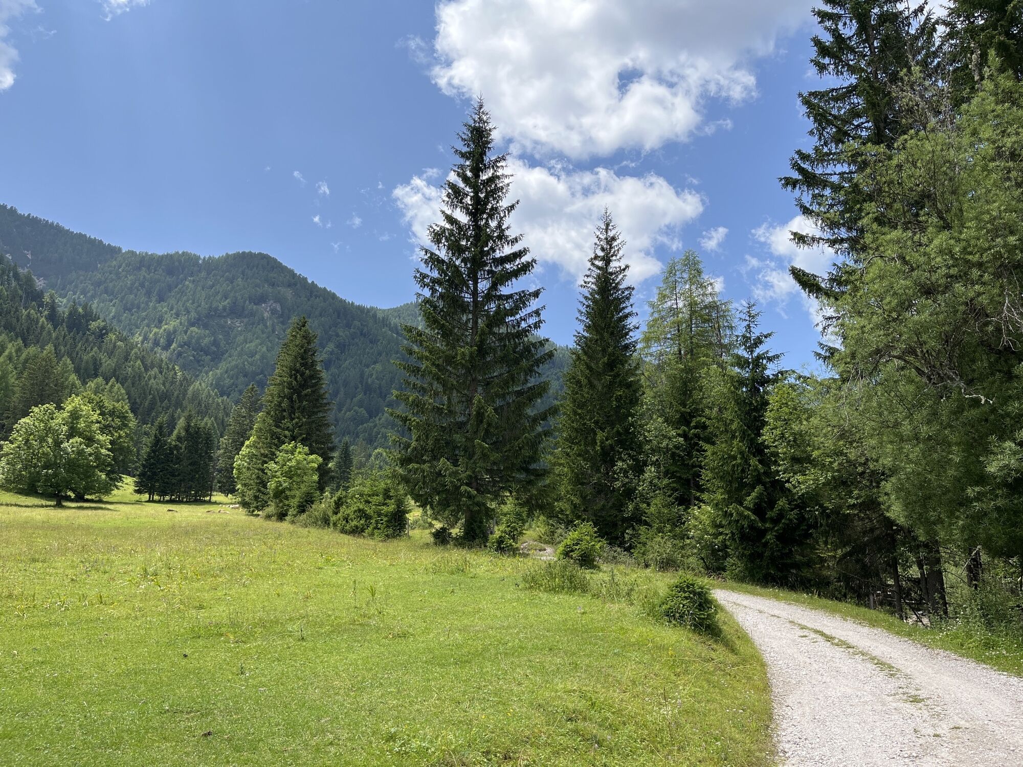
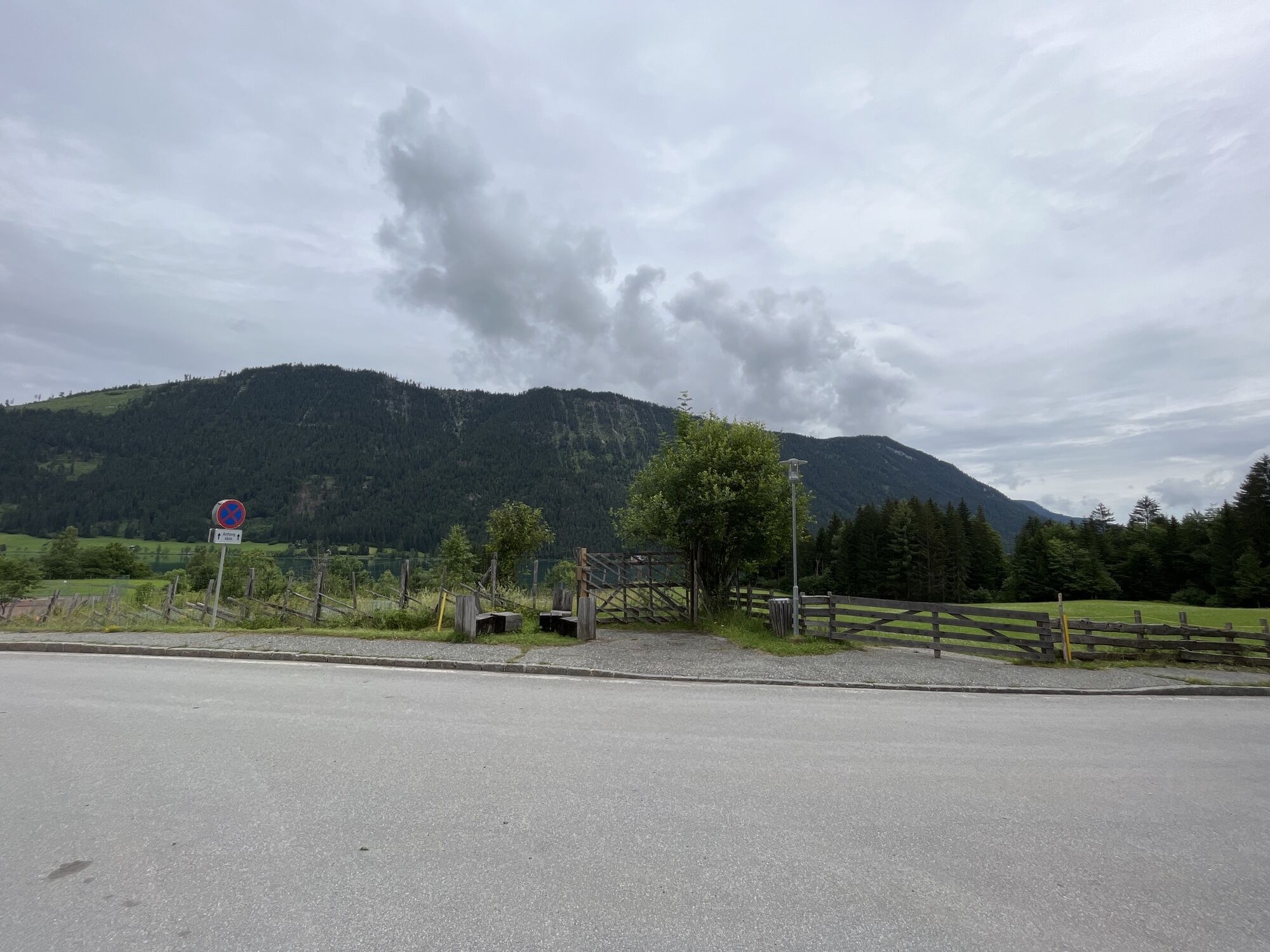
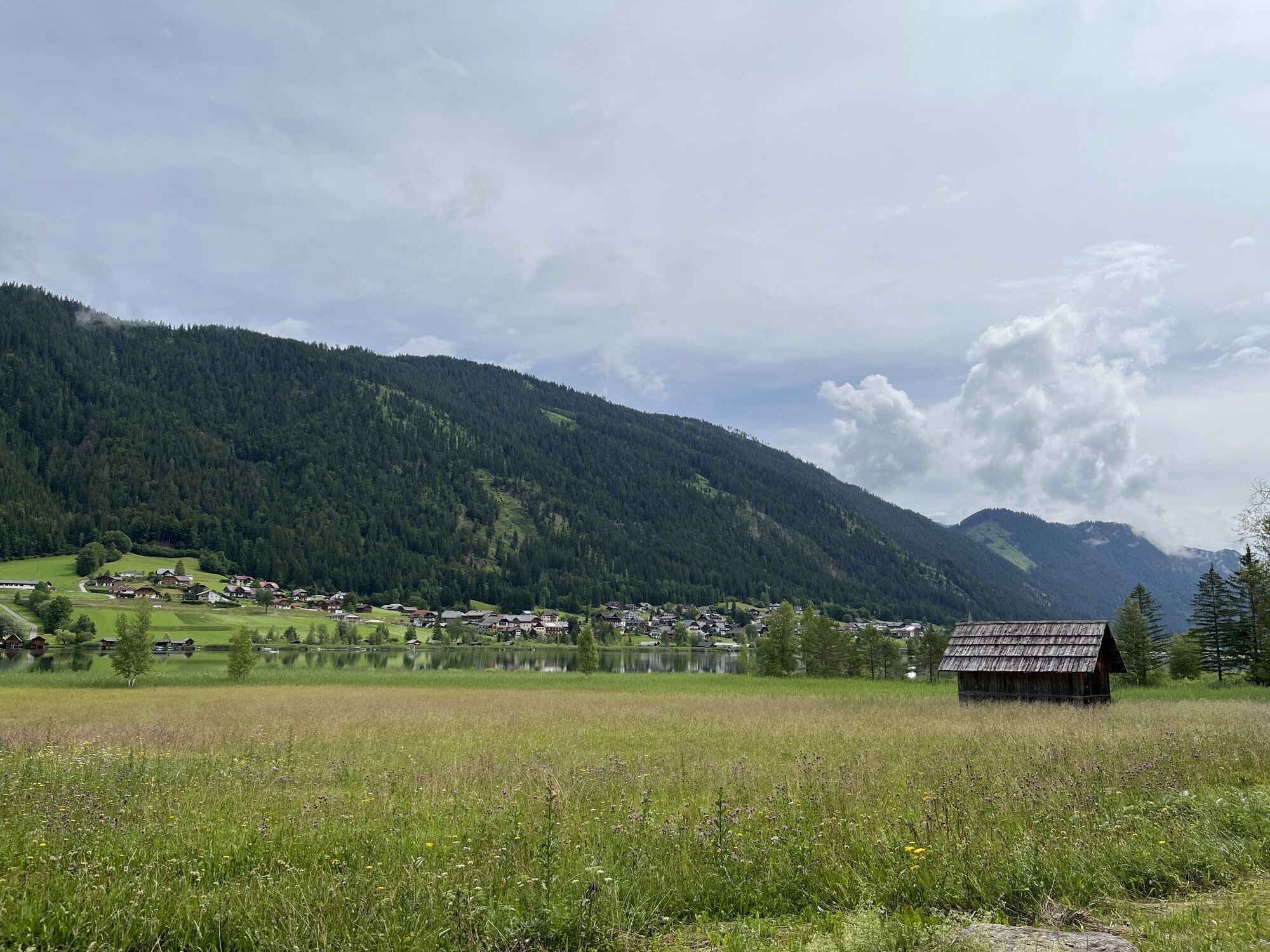
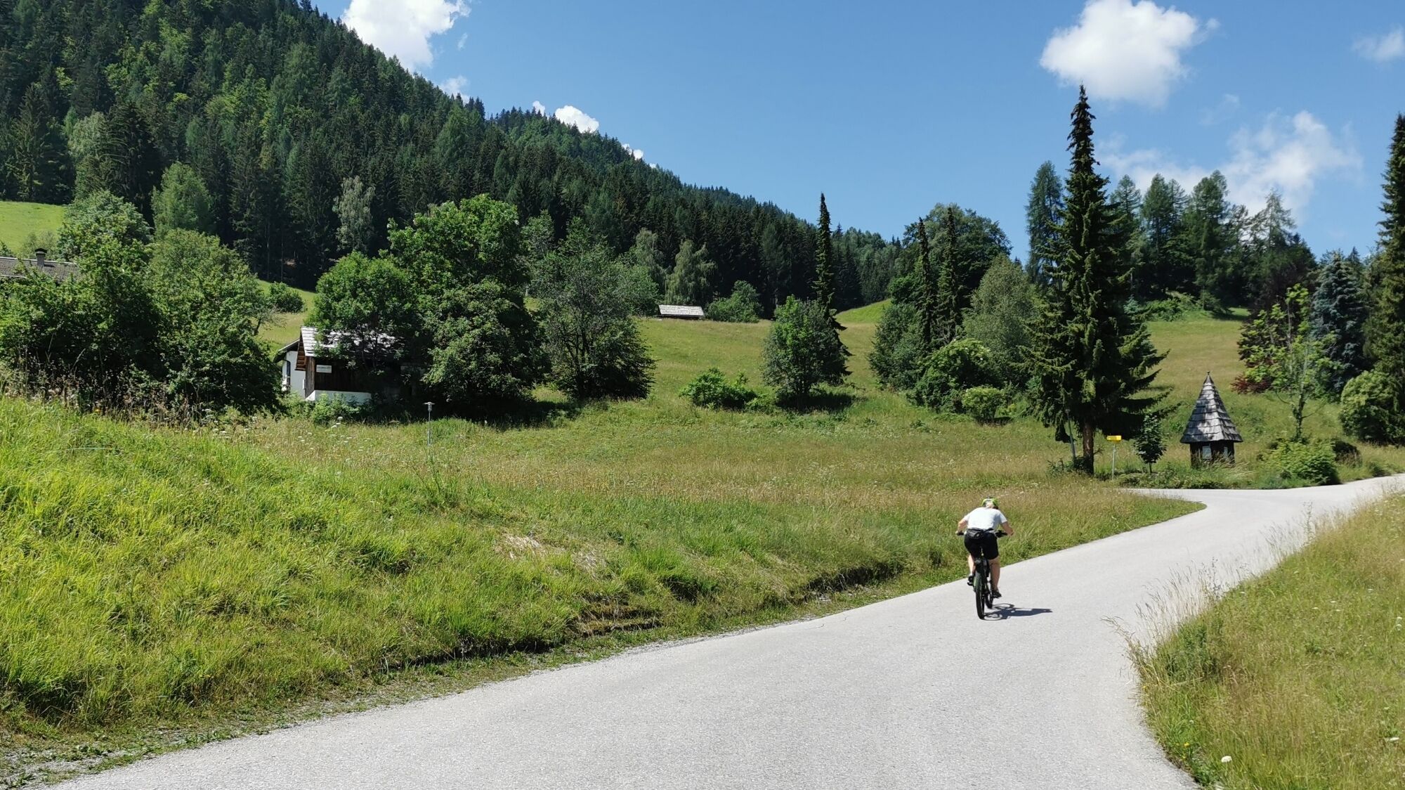
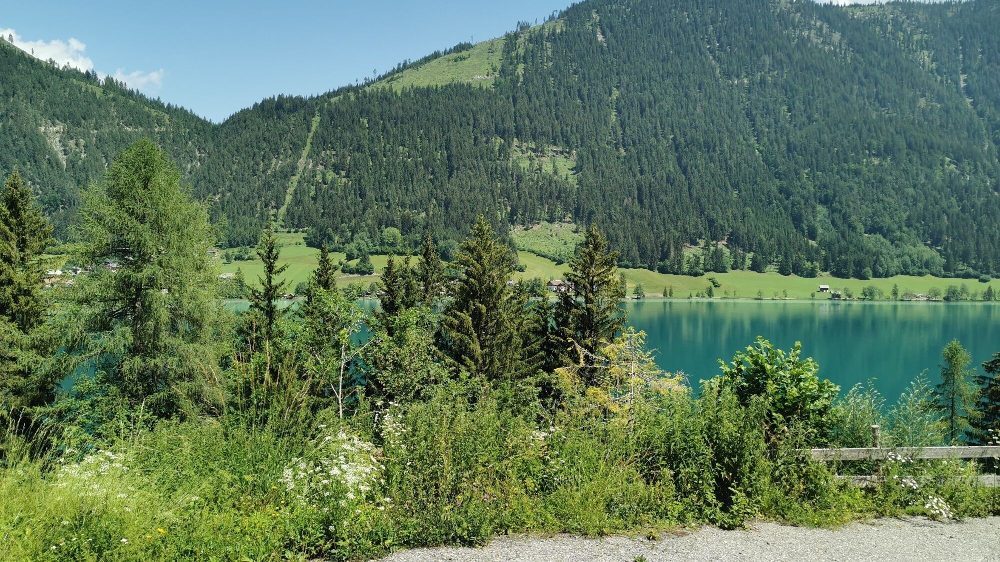
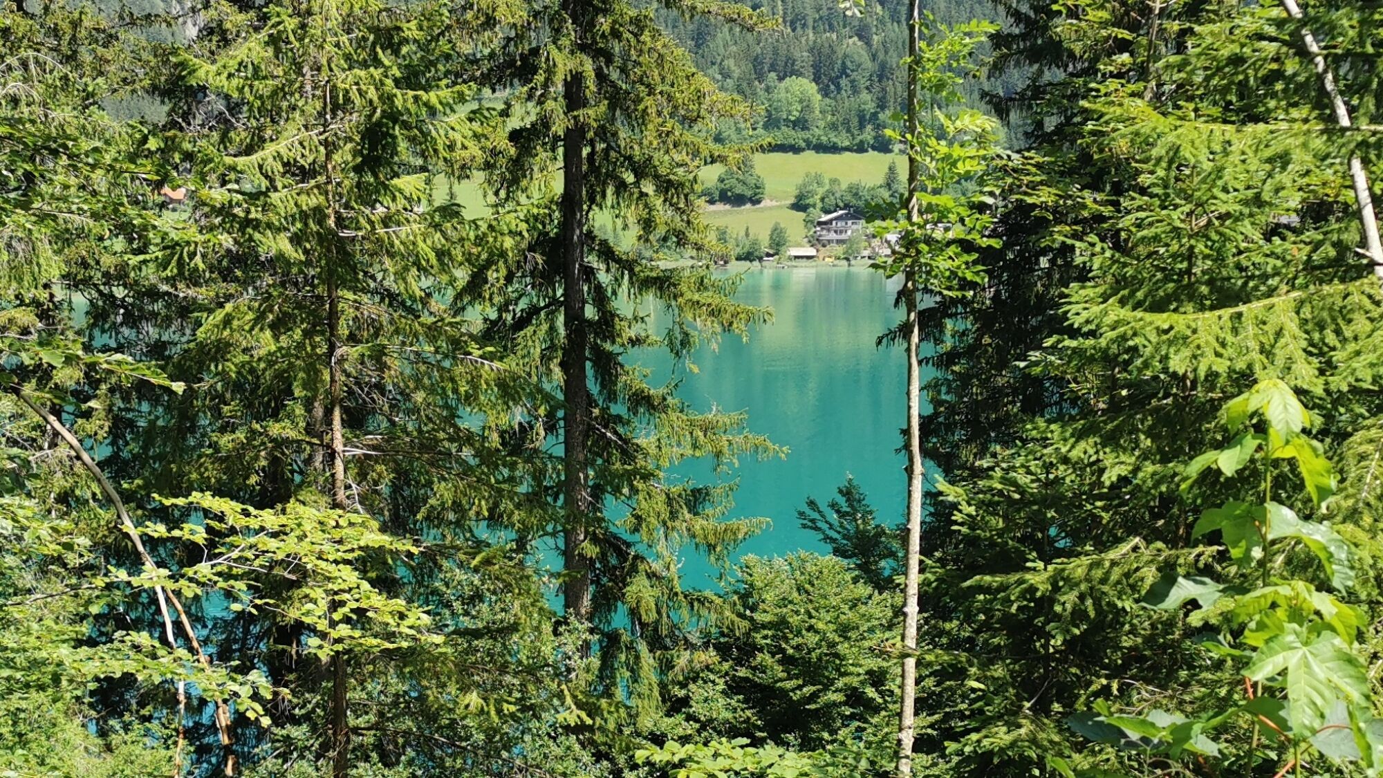
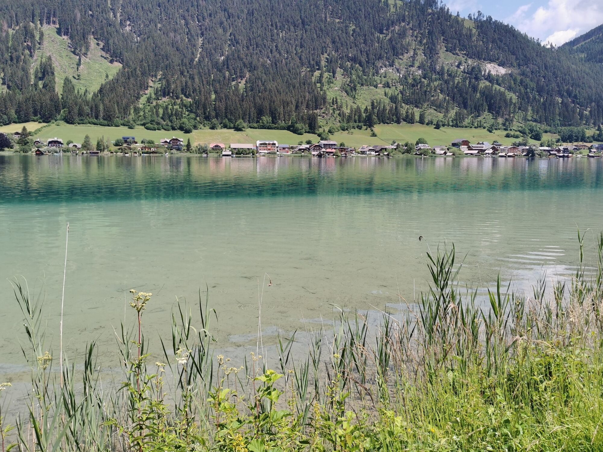
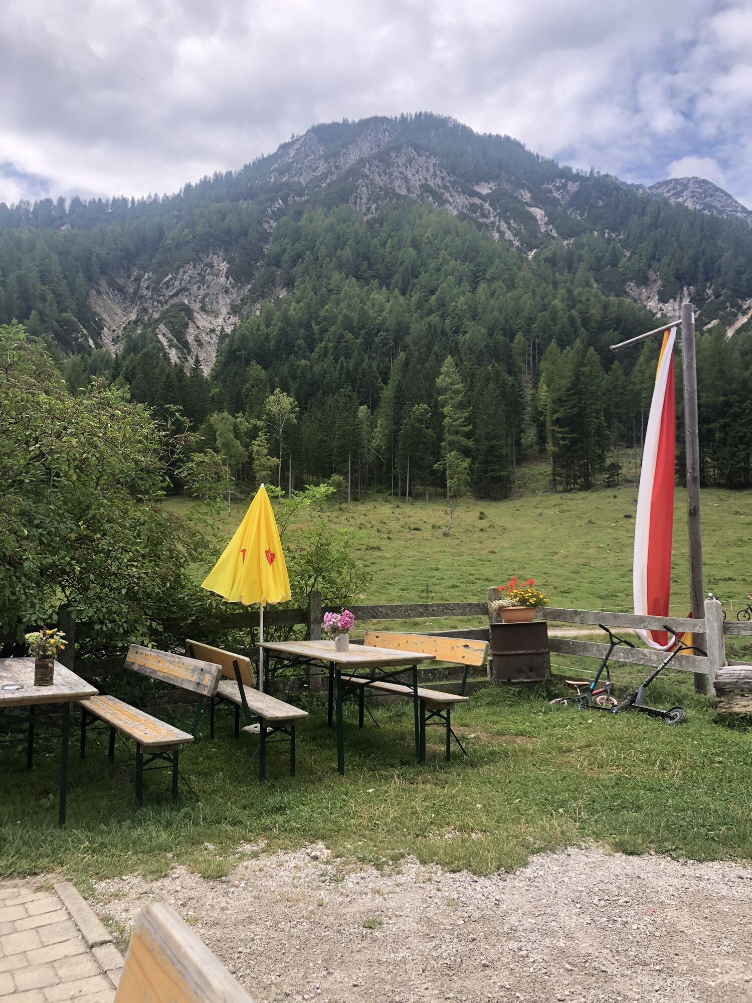
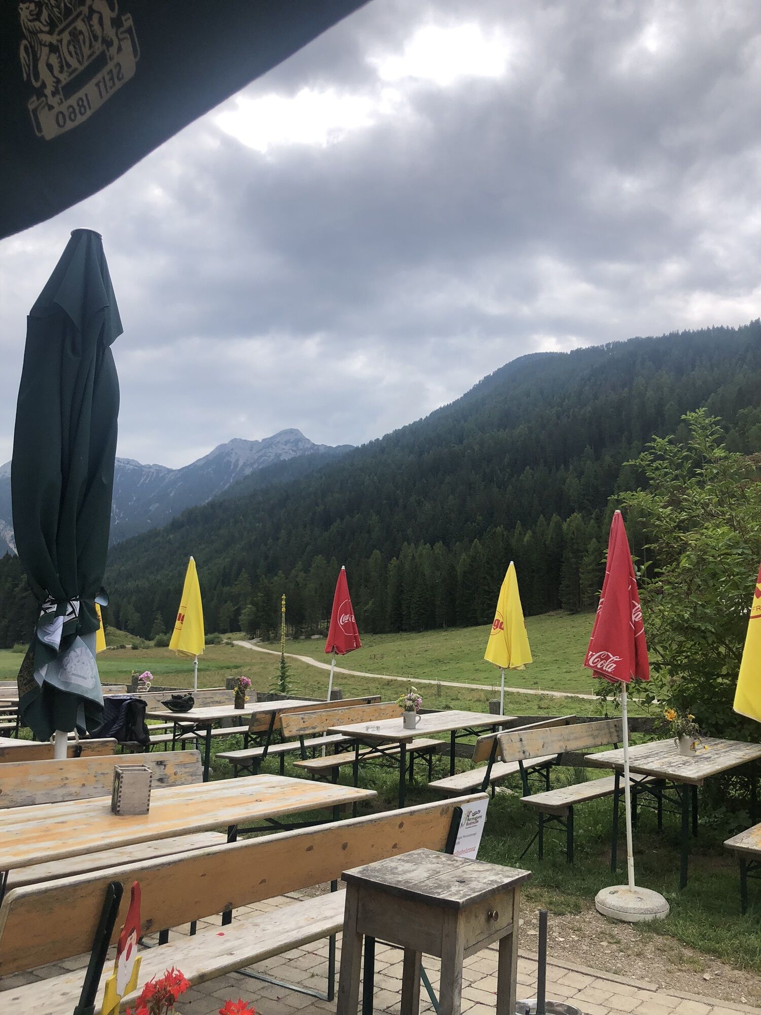
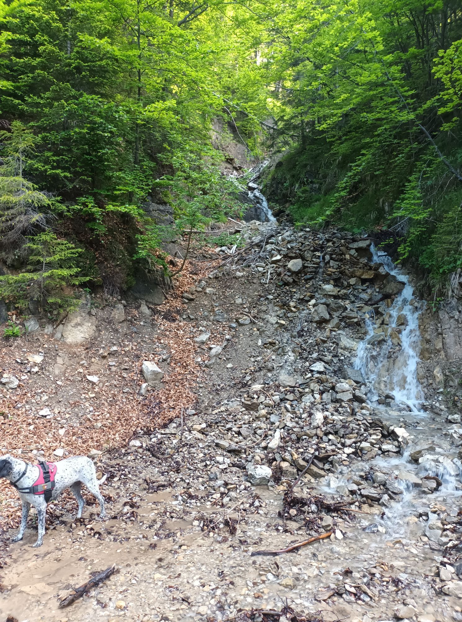
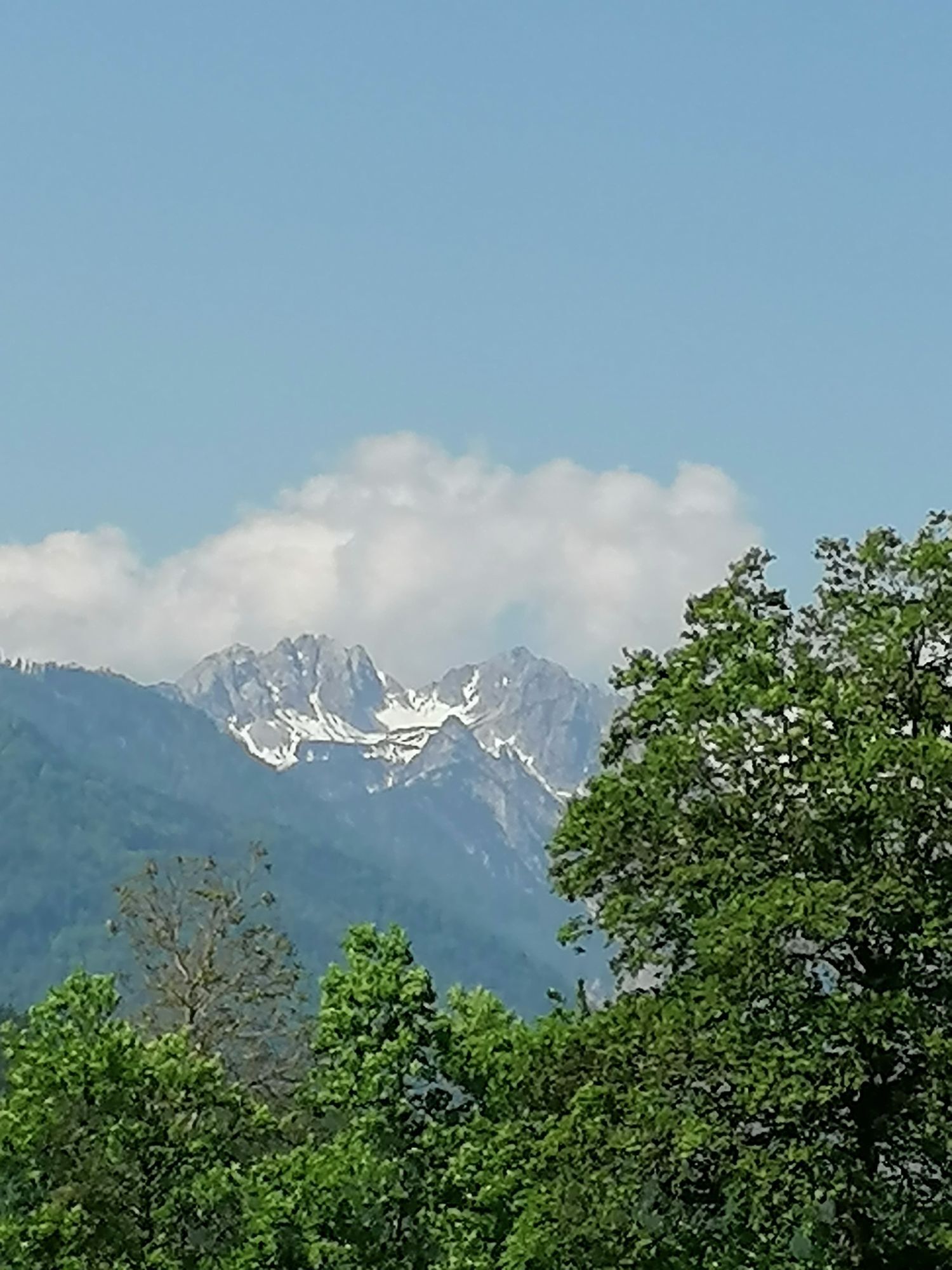
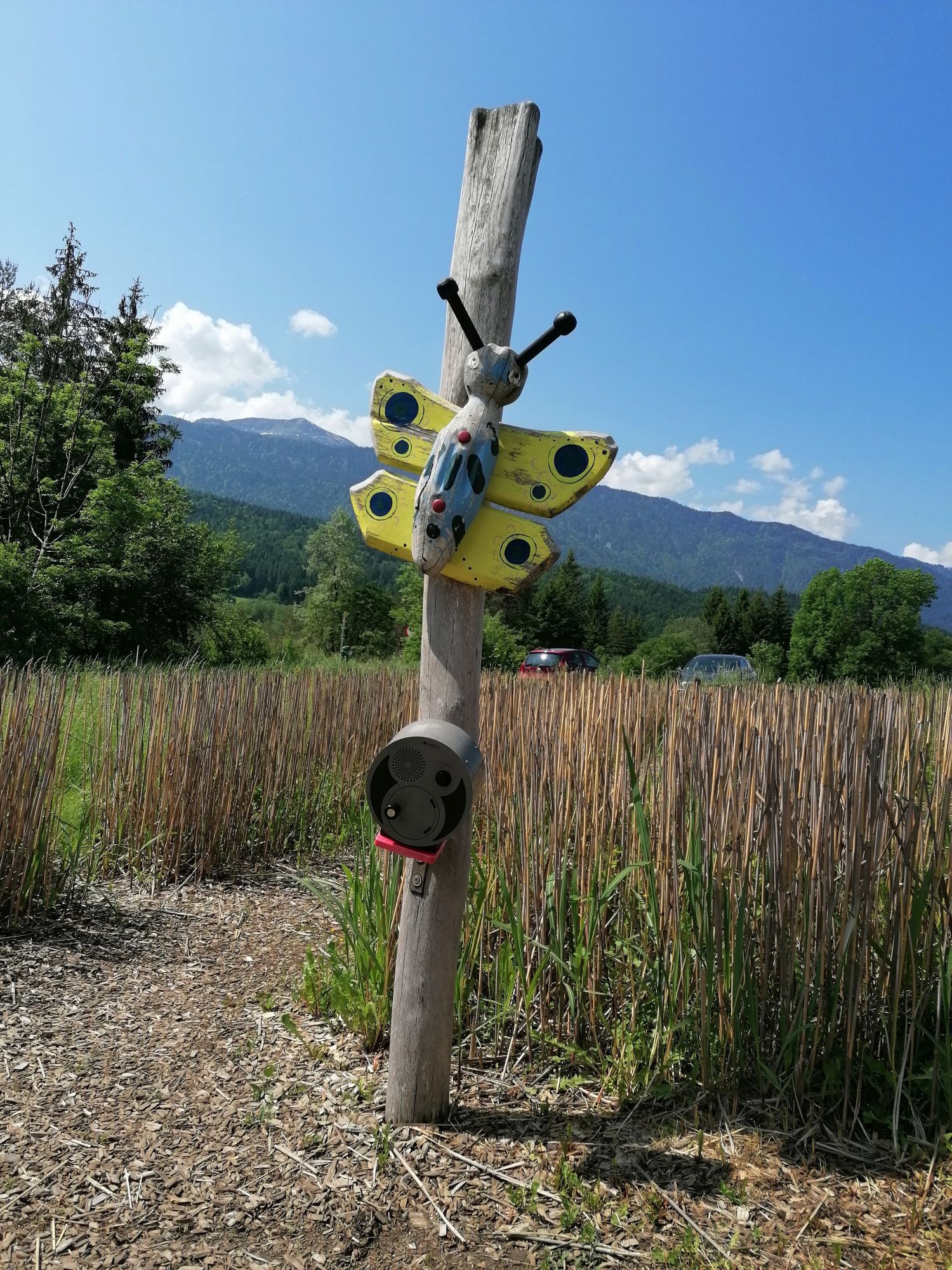
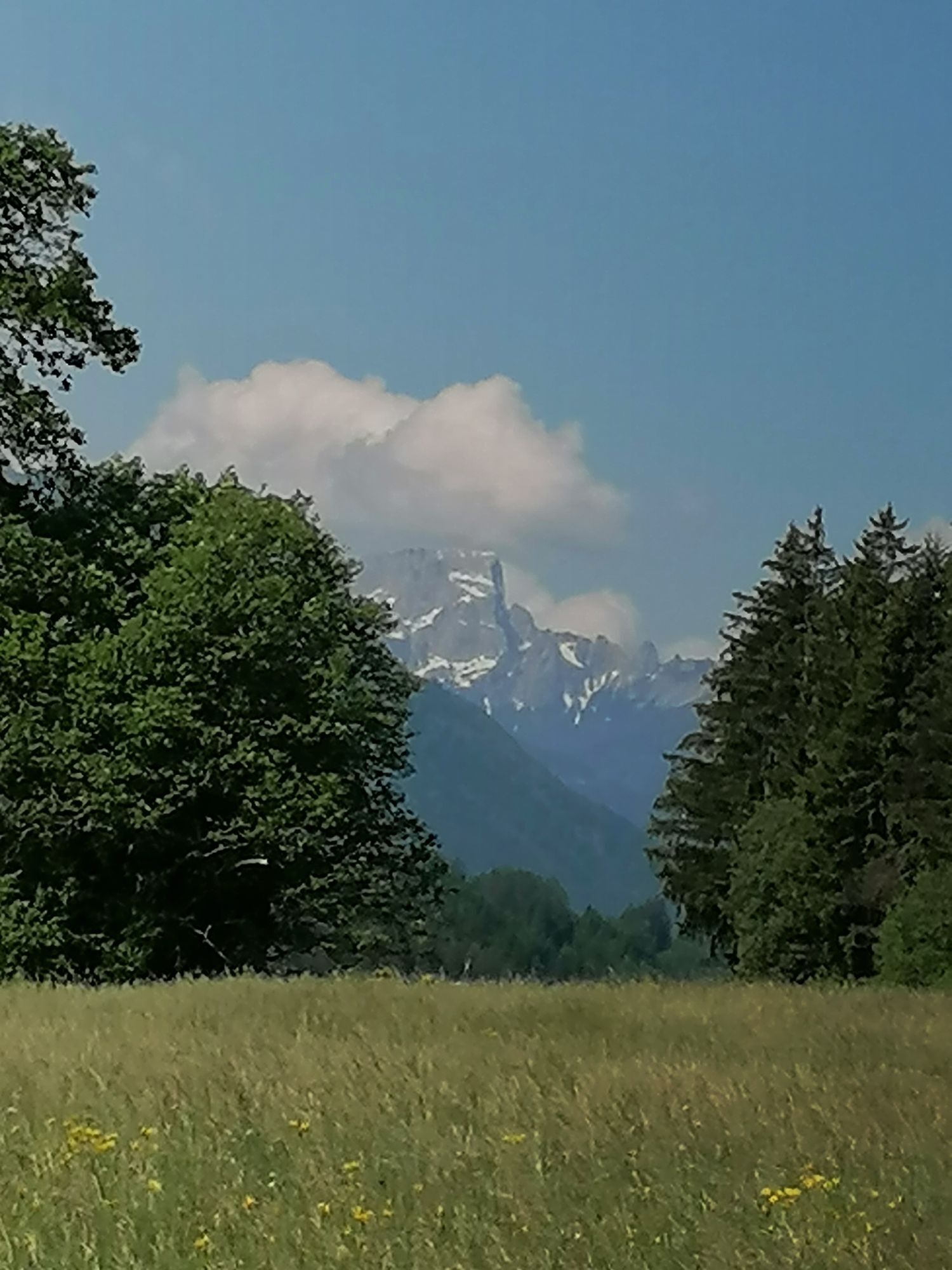
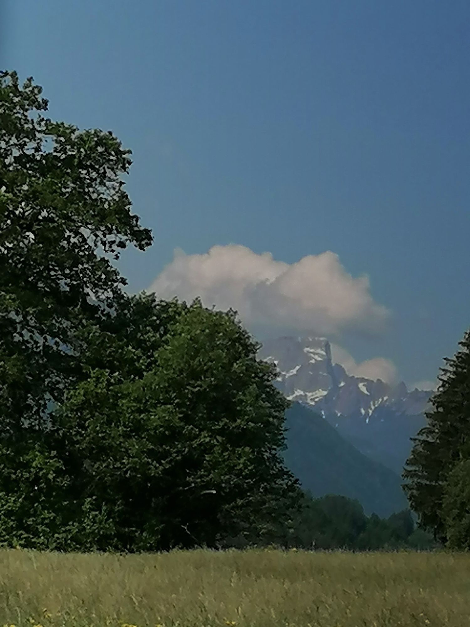
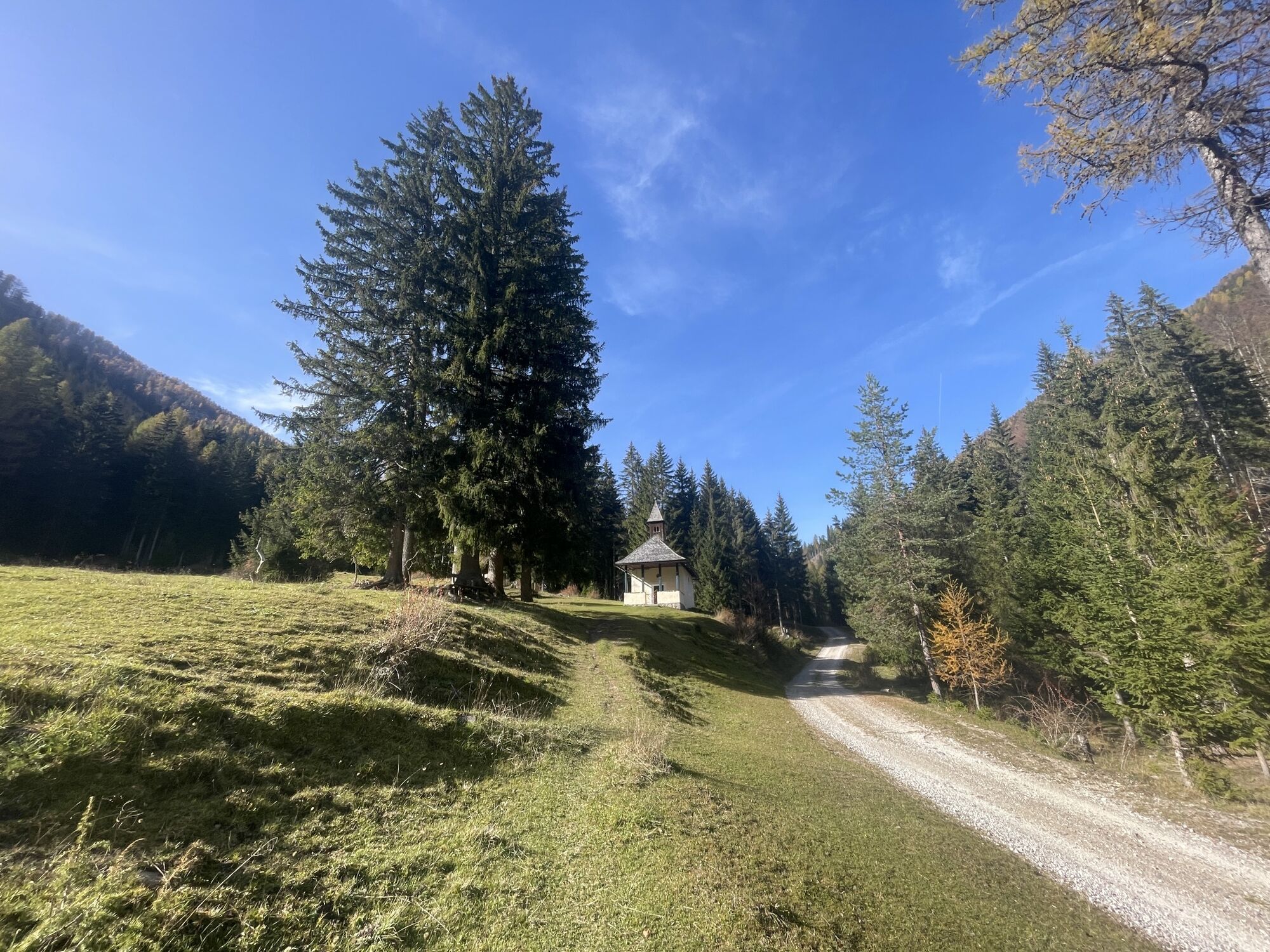
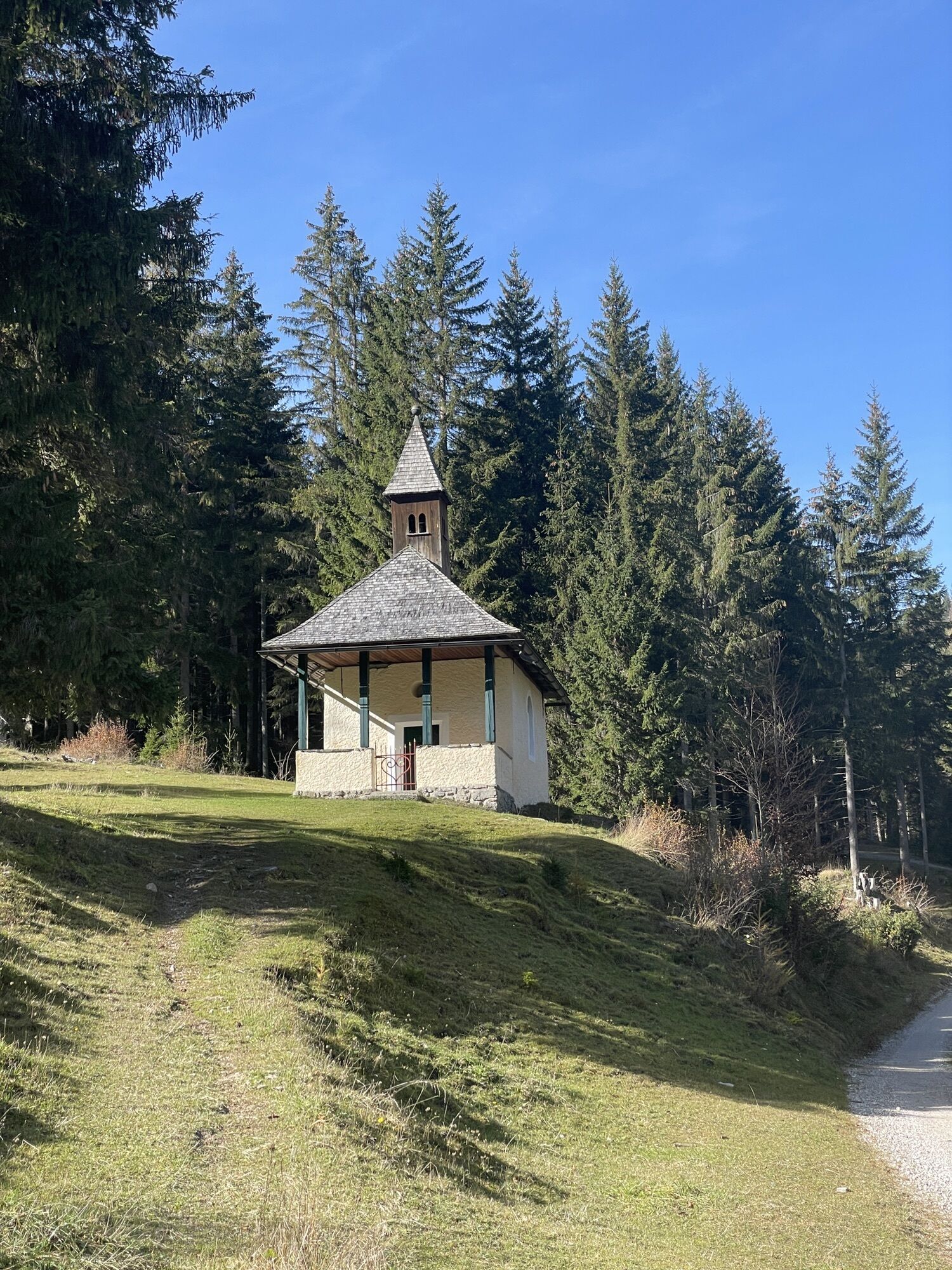
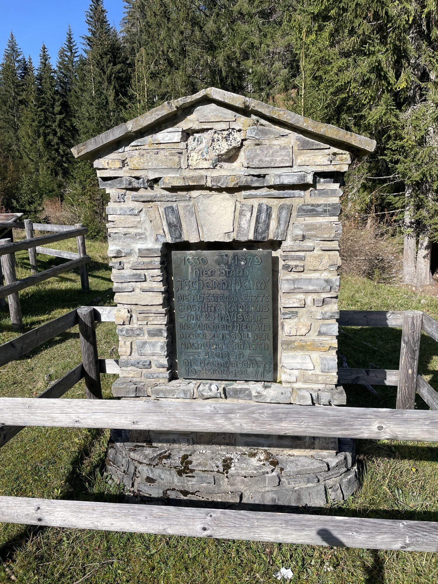
This unique biker round trip offers you beautiful impressions and lets you discover the living spaces of Nassfeld-Presseggersee as well as Weissensee around the Gailtal Alps from a completely different perspective.

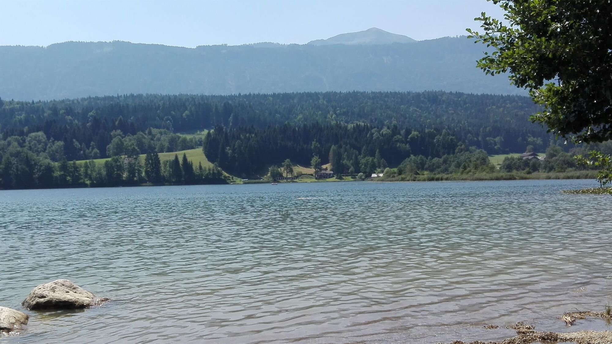

Strandbad Hermagor-Presseggersee - Förolach - Görtschach - Vorderberg - Karnitzen - St. Paul an der Gail - Tratten - Matschiedl - Boden - Farchtensee - Weißenbach - Hermagorer Bodenalm - Weissensee (Paterzipf) - Kreuzberg - Weißbriach - St. Lorenzen im Gitschtal - Jadersdorf - Obermöschach - Hermagor - Untervellach - Strandbad Hermagor-Presseggersee
Start/End point:
You start your round trip at the Lake Pressegger beach bath and ride along L26 towards Villach. At the fork shortly before the level crossing in Presseggen, turn right, then shortly left to follow the paved side road. Then there is a left bend and at the following intersection, turn right - along the side road passing the church of Presseggen. You ride along the street, cross the tracks of the Gailtal railway and stay for a few minutes on the path parallel to the tracks, which finally makes a bend and merges into L25.
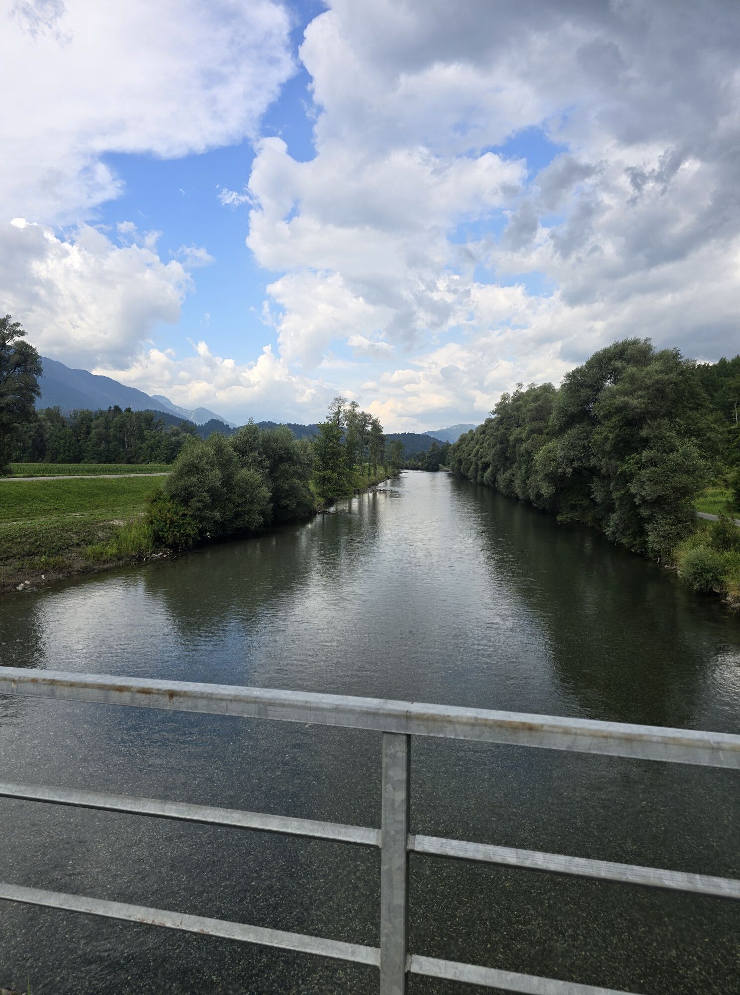
At L25 turn right and follow the road past the Görtschach-Förolach station to the fork after the right curve. Here, leave L25 turning left and ride the bike path past Gailspitz until you reach the Gail bridge in Görtschach. Cross the Gail, turn left and continue along the south bank of the Gail - below Potschach and Mellach. Also at the following Gail bridges below Dellach, Latschach, and Görtschach (where R3a merges back into R3), you continue straight ahead.
Just before Vorderberg, the route makes a right turn - you enter the town center and then turn left over the bridge - and then left along L27 past the natural swimming pool in Vorderberg. Immediately afterwards, cross the Gail again and turn right just after the bridge, before the railway track. Now you ride downhill along the Gail - there is an S-curve, and then you cross the tracks to the left. At the next fork, turn right and then immediately left - uphill through the forest. You leave the forest behind, turn right and reach the town of Karnitzen. In the town center, turn left and follow the route northwards through a short forested area to the next settlement on the open land below B111. Continue straight through the settlement, turn right before B111, cross B111, and then continue north across the street. There are some turns; at the third possibility by the edge of the forest, turn left. After a short forest area, you reach a large clearing near the hamlet Bichlhof - cross the open land northwest until you reach a road junction where you turn right. Then you pass through the town of Hadersdorf and turn right at the first opportunity, crossing the fields eastwards. The route continues to Latschach and then to Tratten - keep straight at the forks following the road. In Tratten, turn right onto L36 until you reach a fork by a cross where you turn left. The route runs northwest over fields and forested sections, passing all forks straight ahead to Matschiedl.
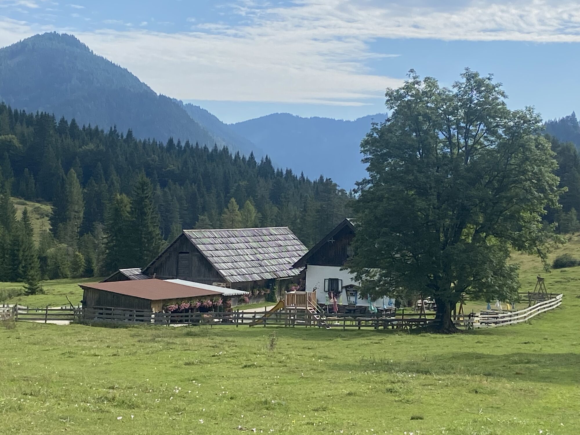
Turn right and ascend along L33 - then continue over Windische Höhe - and descend to the road junction with L34. Here, turn left and stay on the road straight northwest. The route runs through forested sections until you reach the open fields around the settlement of Boden. Shortly afterwards, you reach Lake Farchten - where you pass on the right, still along L34 through forested sections. Then you reach Weißenbach - here turn left at the first opportunity and follow the path across some alpine pastures through forest and pasture areas westwards. Pass the Hermagorer Bodenalm and after another forest section, reach the south bank of Lake Weissensee at Paterzipf.
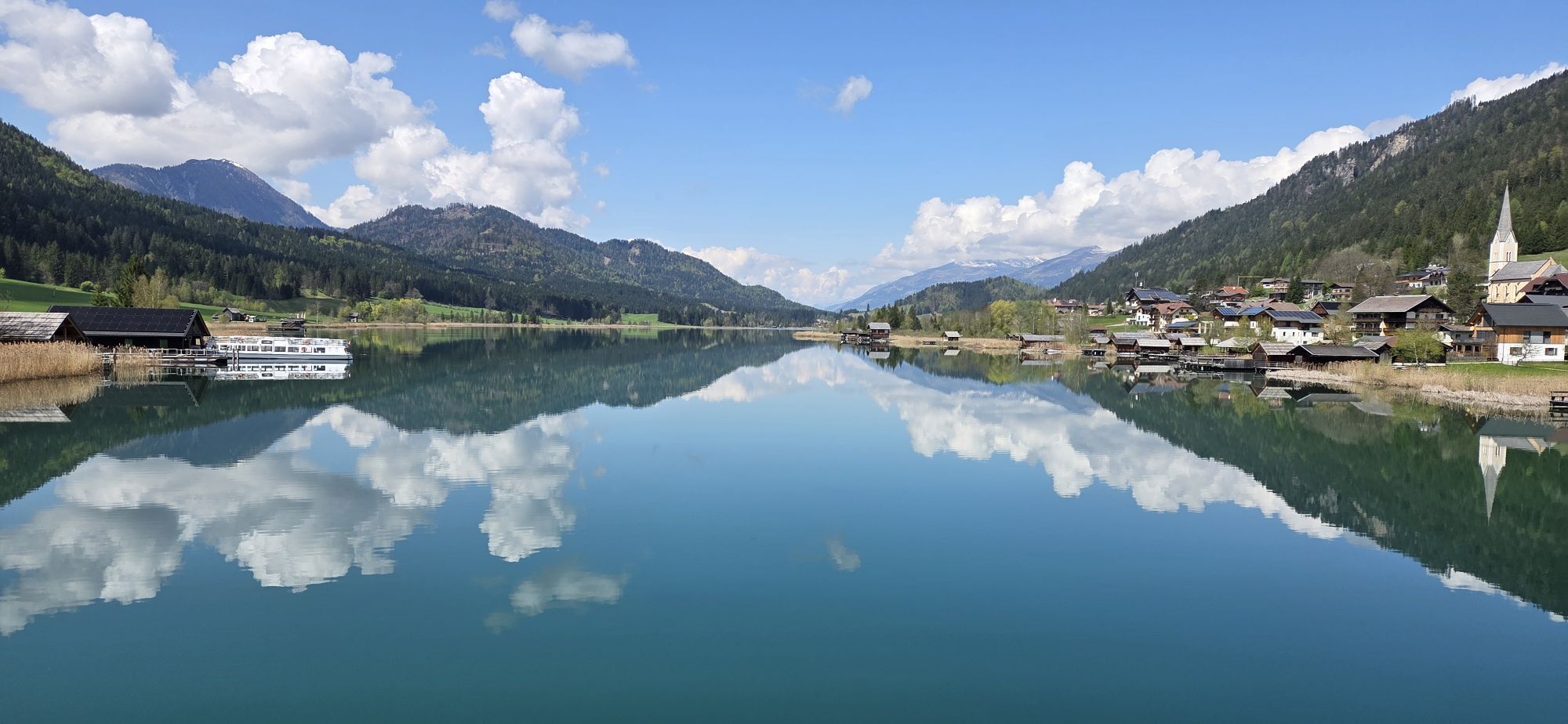
From here, follow L7a along the south bank of the lake, turning right northwest. At the bridge, keep left and follow the road beside the south bank towards Oberdorf. After passing the draglift, reach a fork where you turn left. At the following hairpin turn, the route immediately turns right. Pass the following turnoffs and after some curves, reach B87. Turn left here and continue past a clearing and the next turnoff straight ahead to the second turnoff, where turn left. The route now goes downhill southwards through the forest, passing all forks straight ahead. At the fork at about 990m, follow the S-curve past Moosmüller farm on the left until you turn right near B87, then follow B87 left downhill.
In Weißbriach, turn left at the second possibility and ride southeast between the Protestant church and the cemetery on the marked bike path through forest sections and across open fields. At the following forks, stay on the path that runs almost parallel to the Gössering river, left of the streambed. Eventually, reach St. Lorenzen im Gitschtal - continue straight southeast through the village. Cross two small streams, reach the houses of Jadersdorf, follow the street along a slight left curve into the town center - passing the fountain straight ahead. Then the route crosses the meadows parallel to B87 southeastwards. At the following forks, keep straight and continue to Grünburg. There cross the Gössering and ride further to the fork at the power plant. At this fork, turn left and ride through the forest southeastwards parallel to the stream below or alongside Grünburg. At the next opportunity, keep left, cross the Gössering again and continue to a fork where you keep right. Now stay left of the Gössering and cross it again.
The route now runs close to the forest edge or through the forest and crosses the Gössering again. Then continue towards Generationenpark. Cross a small stream, keep left, and ride through the Generationenpark area. Then follow the paved side road, keep left at the next opportunity and pass a larger parking area. Continue gently downhill eastwards past the church until the next fork. Turn left here, follow the road over the bridge crossing the Gössering, then immediately turn right. At the following roundabout, take the second exit, almost straight ahead, continuing along L25. At the first opportunity after crossing the tracks, turn left onto the paved side street. The route passes behind a timber storage area and then turns right at the first opportunity.
Now ride along this street eastwards, parallel to B111 and the Gailtal railway, passing through the "Burgermoos". At Obervellach, south of the level crossing, reach a crossroads where turn left, then immediately right again, following the path just right of the railway for a short time. Then the route runs on the right side of the Vella brook through a forested section until you reach the town center of Untervellach. Turn right, pass the fountain, keep left until the side street meets L26 at a large intersection. Here turn onto L26 and ride to the next junction where turn left onto the paved path. The further route leads you eastwards across the open areas below the Troj settlement. After a few minutes, you reach another fork with a side road. Turn left here (turning right would take you onto the path around Lake Pressegger through a portal), then immediately turn right onto L26. Shortly afterwards, you reach the Lake Pressegger beach bath - the starting point of your tour.
Mindfulness for nature – landowners – your health... and mountain safety have the highest priority on your tour and tour planning!
Therefore, always inform yourself about the rules of conduct before each bike tour - Mountain Safety - and the current weather conditions.
Waste disposal:
Waste is not always avoidable – but it has no place in nature and must be properly disposed of (preferably in the valley or at home).
Emergency numbers:
European emergency number: 112 (accessible on every available network)
Austrian alpine emergency number: 140
Coming from Kötschach-Mauthen or Hermagor or Villach via B111 (Gail Valley Federal Road) and then via L26 (Paßriacher Straße) to the town of Presseggersee.
From Kötschach-Mauthen or Weißbriach you can reach the starting point of the winter hike by bus towards Hermagor and then transfer in Hermagor either to the bus or train towards Villach (disembarkation - Lake Pressegger).
Details under - Nassfeld Mobility Information as well as Kärntner Linien Route Planner
Free parking spaces are available at the Lake Pressegger beach bath.
S1
You can find this and many more info at - Tour tips and provider information
Dining options:
Along the route, there are numerous year-round open dining options - details under Service A-Z.
Runs partially along the R3a (Hermagor - Görtschach), R3 (Görtschach-Vorderberg), ST1 (Vorderberg - Matschiedl), GT3 (Techendorfer Bridge - Weißbriach) and the R3b (Weißbriach - Jadersdorf) as well as the HP9 (Jadersdorf - Hermagor)
Webové kamery z prohlídky
Hermagor - Presseggersee
Weissbriach
Weissensee
Stockenboi Ostufer
Hermagor - Presseggersee
Weissensee Bergbahn Bergstation
Strandbad Hermagor / Pressegger See
Weissensee Schifffahrt
Fledermaushaus
Webcam - Ferienhotel Nagglerhof
EuroParcs Hermagor · Nassfeld
Loipe St. Georgen im Gailtal
Apartments De Luxe Schluga / Schluga Strand
Schigebiet Weißbriach - Berggeisthütte
Seebrücke Weissensee
Seebrücke Weissensee
Strandhotel am Weissensee
Gasthof Waldemar
Berghotel Presslauer
Guggenberg
Získejte přehled Vždy živě na místě s více než 9 500 webkamerami. bergfex Jako uživatel Pro si nyní můžete zobrazit odpovídající webové kamery pro mnoho prohlídek v aplikaci prohlídky z. Můžete si tak přímo prohlédnout aktuální podmínky. Oblíbené prohlídky v okolí
- 5.0
W10 - Large lake round - Weissensee
heavyMountainbike 31.5 km - 4.7
W5 - Naggler Alm Round Weissensee
středníMountainbike 15.8 km - 4.9
Slow Trail Weissensee
středníTuristika 6.69 km - 4.6
RW_N9 Weißenbachklamm
středníTuristika 7.49 km - 4.9
Weissensee Ost- nach Westufer
světloTuristika 10.2 km - 4.9
Parkplatz Seetal - STAFF und retour
středníTuristika 13.2 km - 4.8
Weiße Wand - Alm hinterm Brunn
Mountainbike 22.1 km - 4.6
Bergstation Weißensee bis Golz
středníTuristika 14.8 km - 5.0
Bodenalm - Ostufer - mit dem Schiff zurück
Mountainbike 19.1 km - 4.4
WY_W2 hike to the Alm behind the Brunn
středníZimní turistika 3.04 km

Pěší turistika a stopování


Nenechte si ujít nabídky a inspiraci pro vaši příští dovolenou
Vaše e-mailová adresa byl přidán do poštovního seznamu.





