


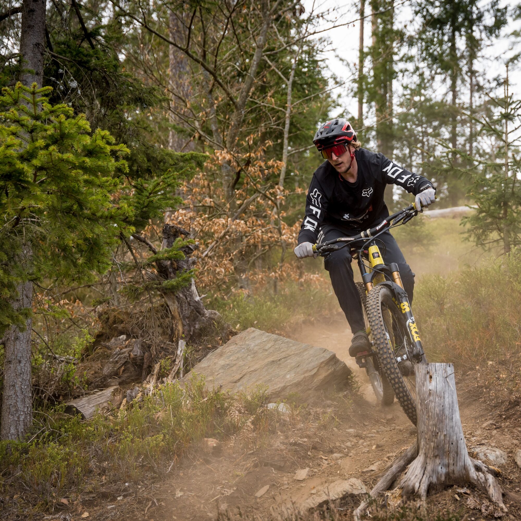
Falkenberg Bike Trails - "Jelly Belly"
Úroveň obtížnosti: S2
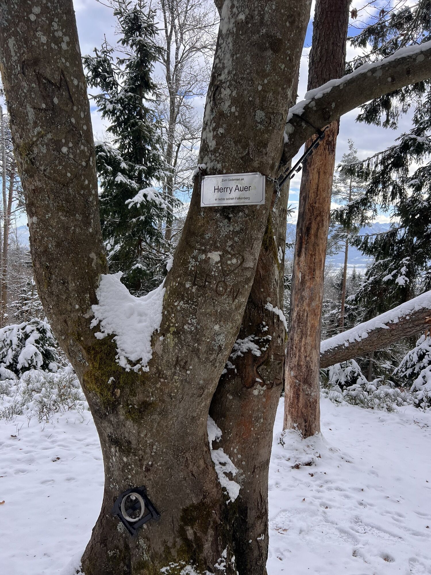
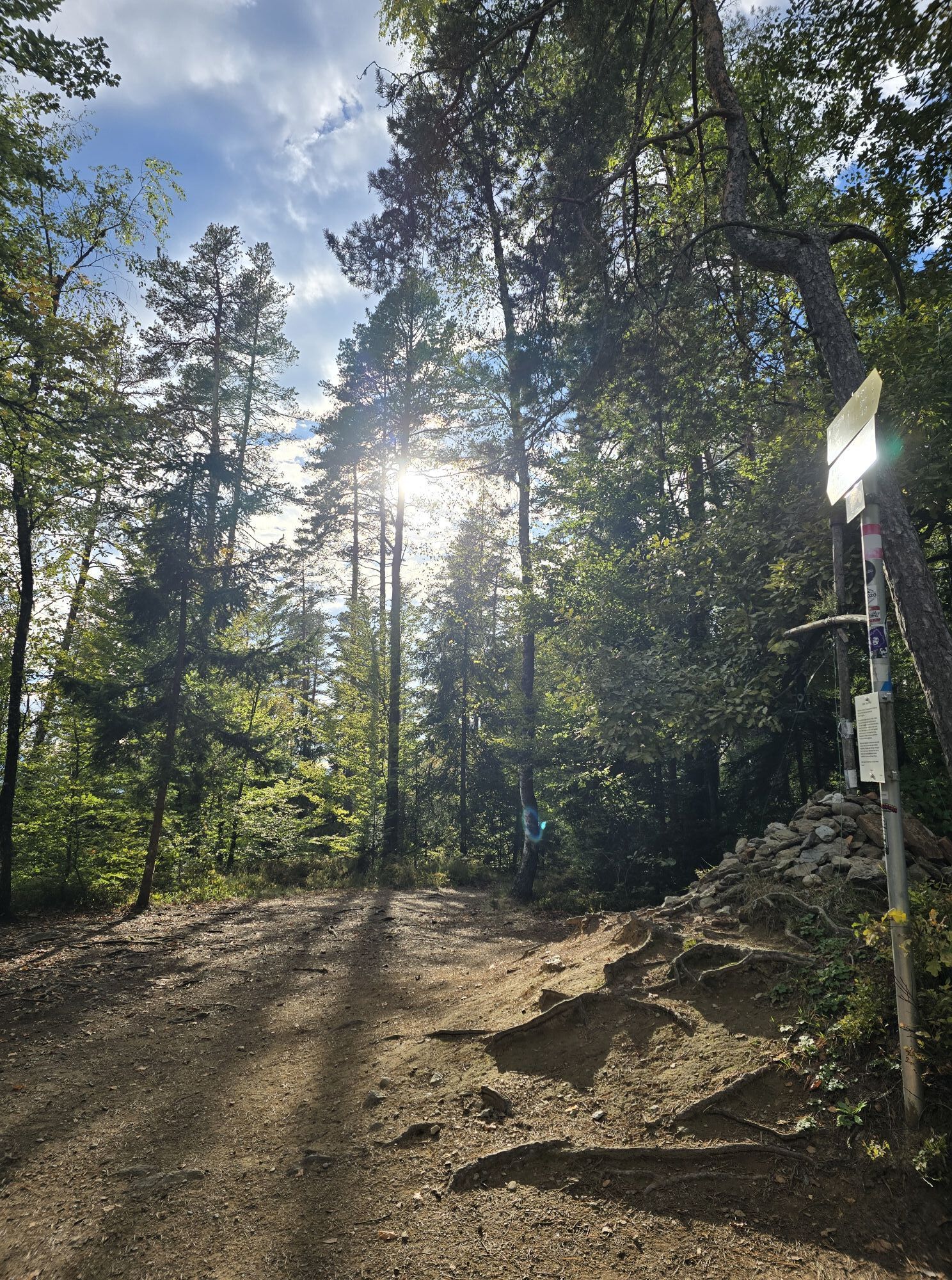
Fotografie našich uživatelů
The start is easy, on rooty and woodland ground. At the first crossing of the forest road, there is a short steep section to overcome, then the trail is clear and only partially challenging until the distribution...
The start is easy, on rooty and woodland ground. At the first crossing of the forest road, there is a short steep section to overcome, then the trail is clear and only partially challenging until the distribution board. After that, the section becomes quite loose, winding through steep terrain along a small stream. After this passage, the trail runs parallel along the Falkenberg path and ends directly below Falkenberg Castle in the north of Klagenfurt. Following the road downhill, you end up directly at the Restaurant Felsenkeller. Following the road uphill along the signposts leads you back to the starting point of the Falkenberg Trails.

Starting from the Lindwurm, the best route is via Heuplatz, passing the CityArkaden onto the bike path into St. Veiter Straße, where you turn left onto the Glanradweg at the intersection with Durchlaßstraße. From there it goes leisurely alongside the Glan River past the state hospital to the McDonald's on Feldkirchnerstraße, where between the Schleppe Event Arena and the Restaurant Felsenkeller (by the way, a great tip for dining after the bike route) the route to Falkenberg Castle begins. Via Trettnigstraße, you reach the foot of Falkenberg Castle in about 15 minutes, where the signposted transfer routes start. You can choose between a long transfer, a simple one (which is therefore about two kilometers long), and a challenging one, all leading to the signposted starting points at the summit of Falkenberg. The different lines vary in difficulty, length, and elevation gain.
There is parking available for cars at the Restaurant Felsenkeller in the Schleppe curve.
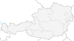
Feldkirchner Straße 141
9020 Klagenfurt am Wörthersee
S2
Oblíbené prohlídky v okolí
-
5.0
Wörthersee EXTREM
heavyTuristika 60.1 km -
4.5
Pyramidenkogel path Maria Wörth
středníTuristika 10.8 km -
4.7
Abenteuer-Wasser-Weg
středníTuristika 9.13 km -
4.7
Vierbergelauf
středníPoutní stezka 47.6 km -
4.2
Cycling around Lake Wörthersee – leisurely cycling between turquoise blue water and fantastic views
středníJízda na kole 48.2 km -
4.7
Zillhöhe
středníBěh 7.94 km -
4.5
Maria Rain-Petelinz-Kaiserhütte
světloTuristika 6.45 km -
4.5
Ulrichsberg
světloTuristika 5.60 km -
3.9
Lake Wörthersee Circular Route
středníJízda na kole 41.2 km -
4.6
Hoher Gallin route
středníTuristika 7.09 km

Pěší turistika a stopování


Nenechte si ujít nabídky a inspiraci pro vaši příští dovolenou
Vaše e-mailová adresa byl přidán do poštovního seznamu.