


Großglockner "Path of the First Climbers"


Of the various ascents to the Glockner, this one is perhaps the most interesting not only because of its scenic diversity and solitude but also due to its historical significance. For the two first ascent...
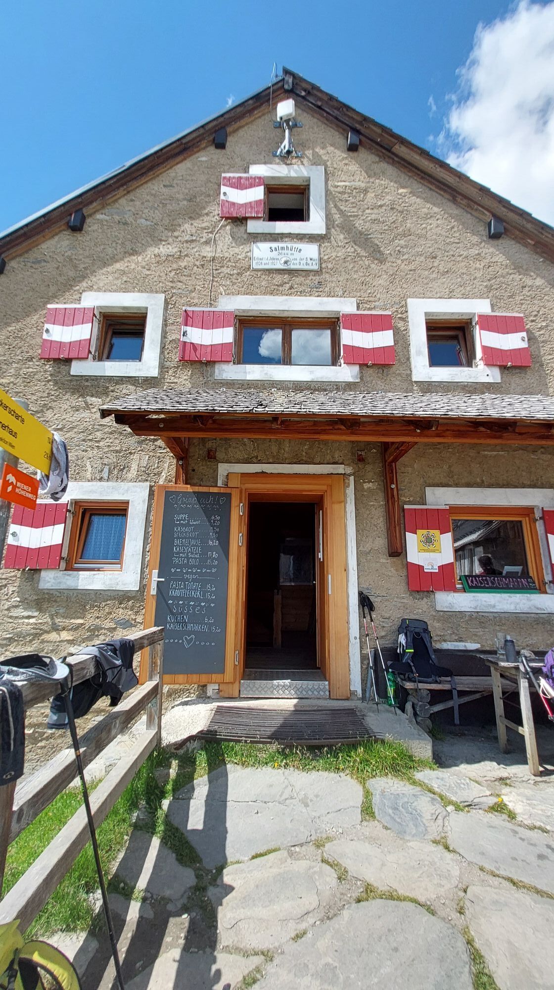
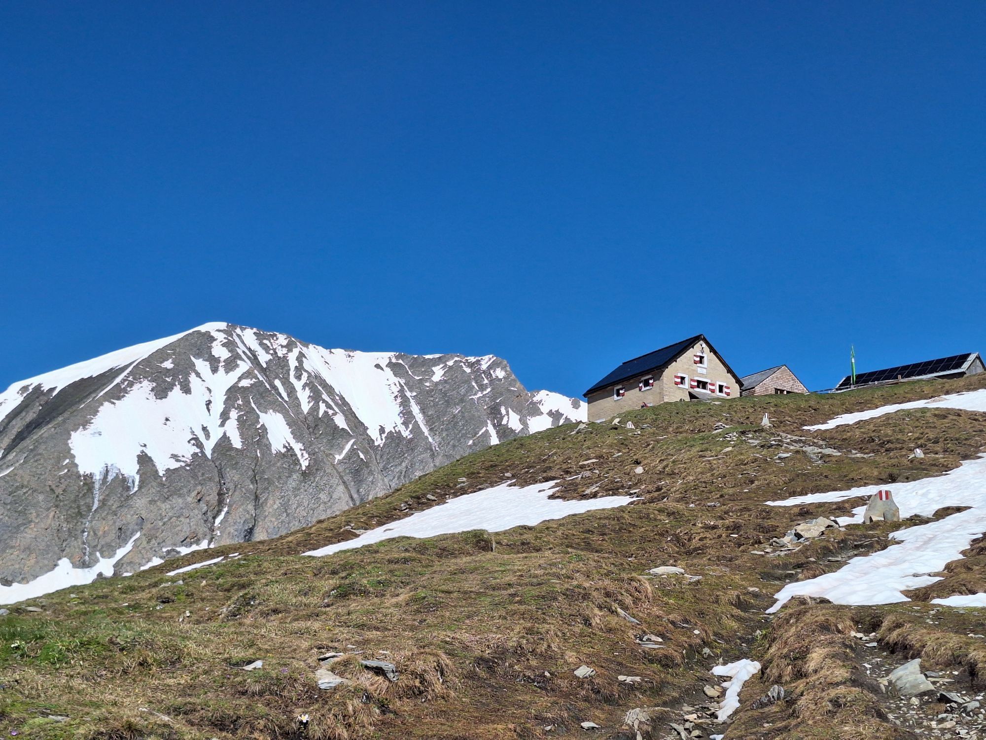
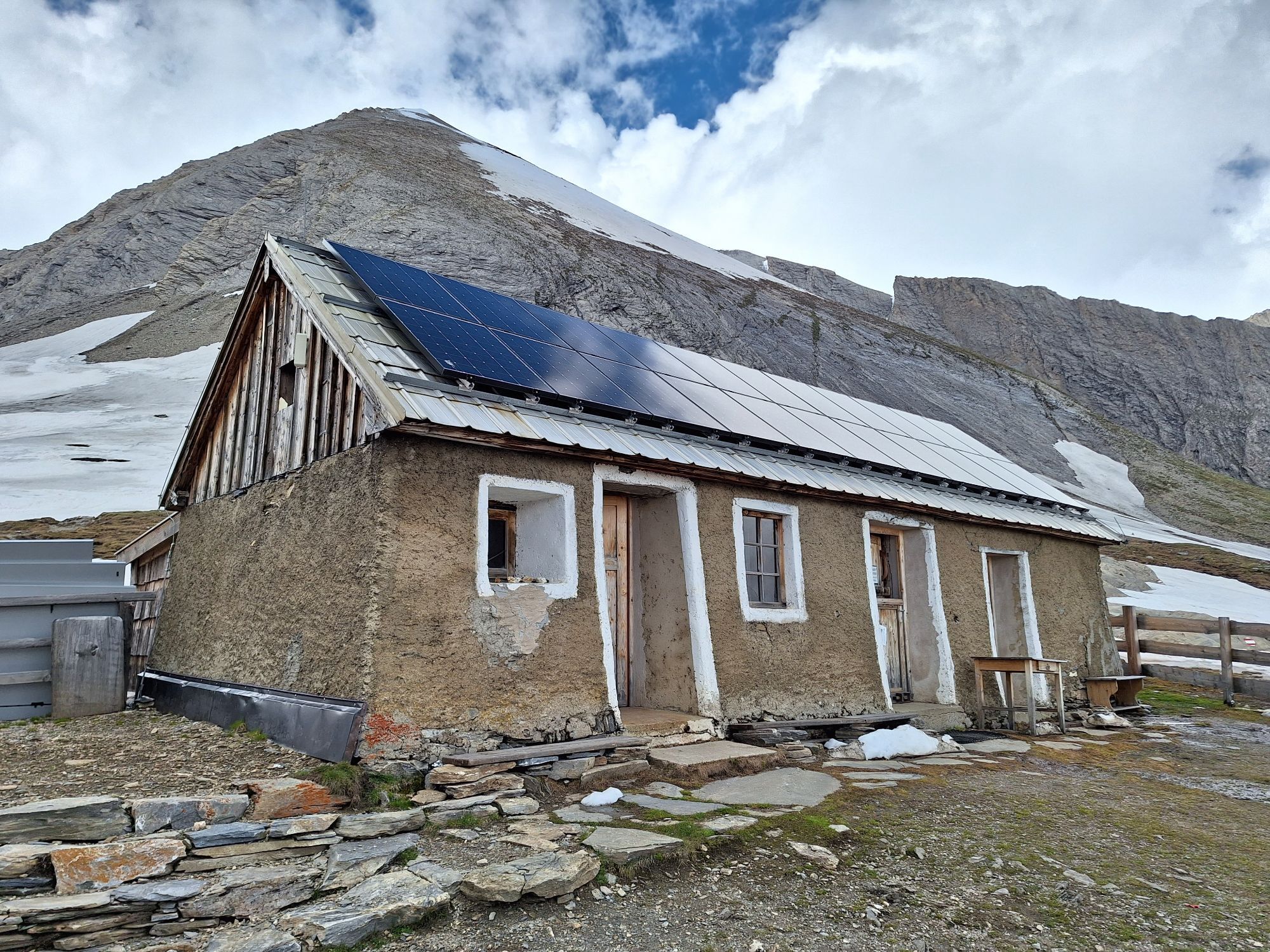
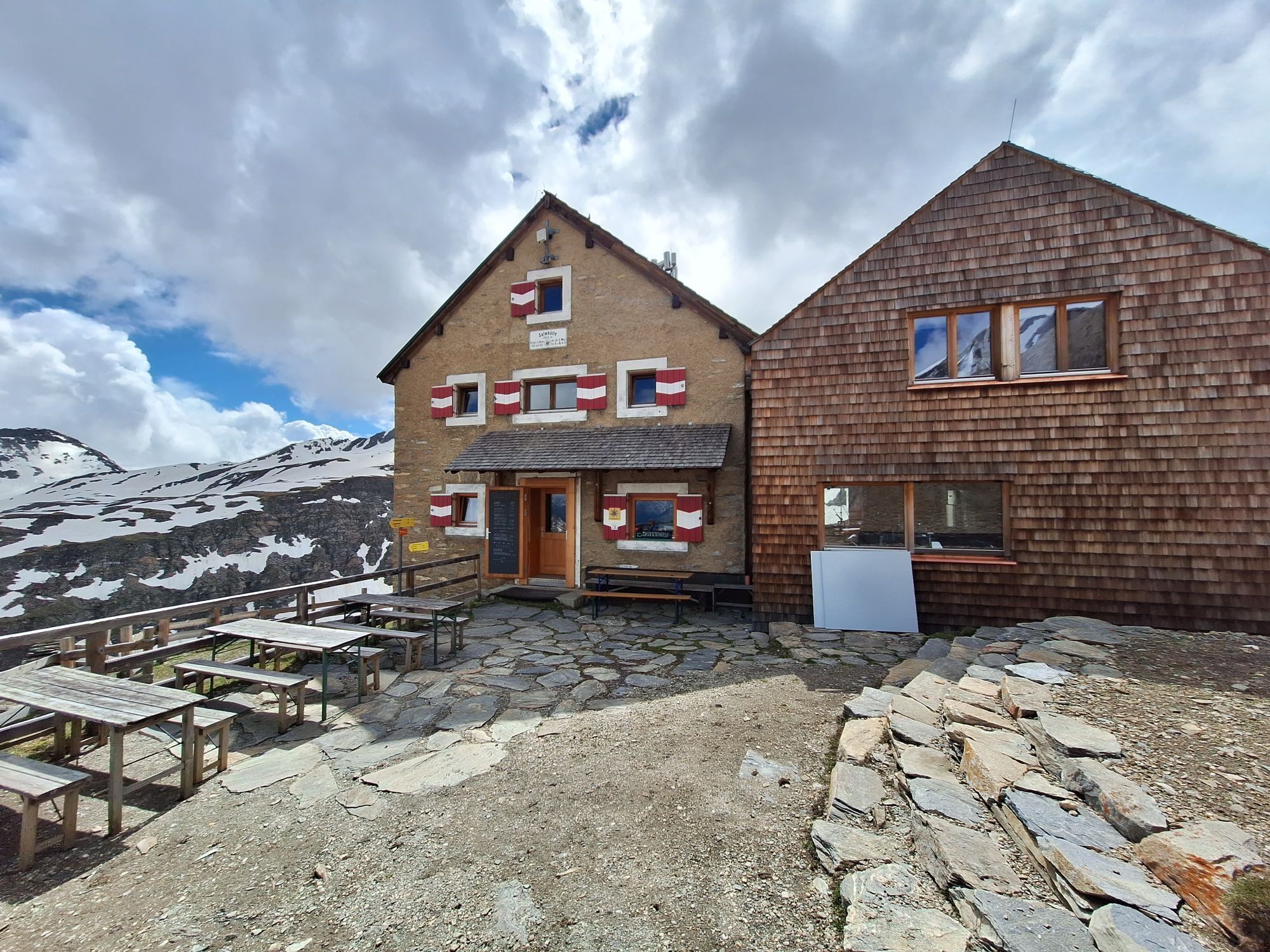
Of the various ascents to the Glockner, this one is perhaps the most interesting not only because of its scenic diversity and solitude but also due to its historical significance. For the two first ascent expeditions, the Salmhütte was built in 1799. It is thus the oldest shelter in the Eastern Alps. The elite of natural sciences at that time, around the organizer and patron, Prince-Bishop Count Salm Reifferscheidt, gathered here.
Under the leadership of local farmers, the summit was reached in July 1800. Nearly forgotten for several years, this ascent has gained importance again due to glacier retreat. It has now replaced the Hoffmann path as the normal route from the north side and is a worthwhile alternative to the ascent from the Kals side.

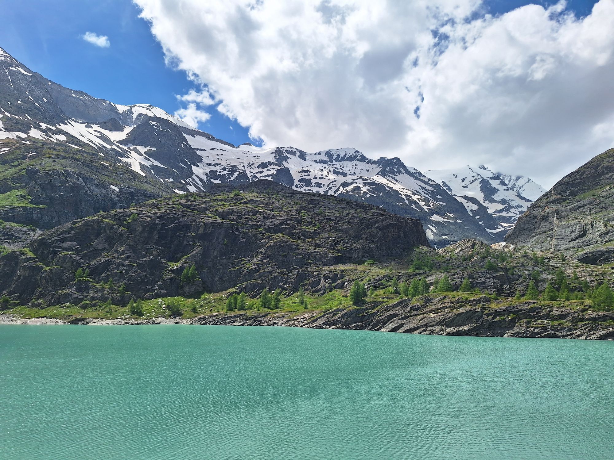
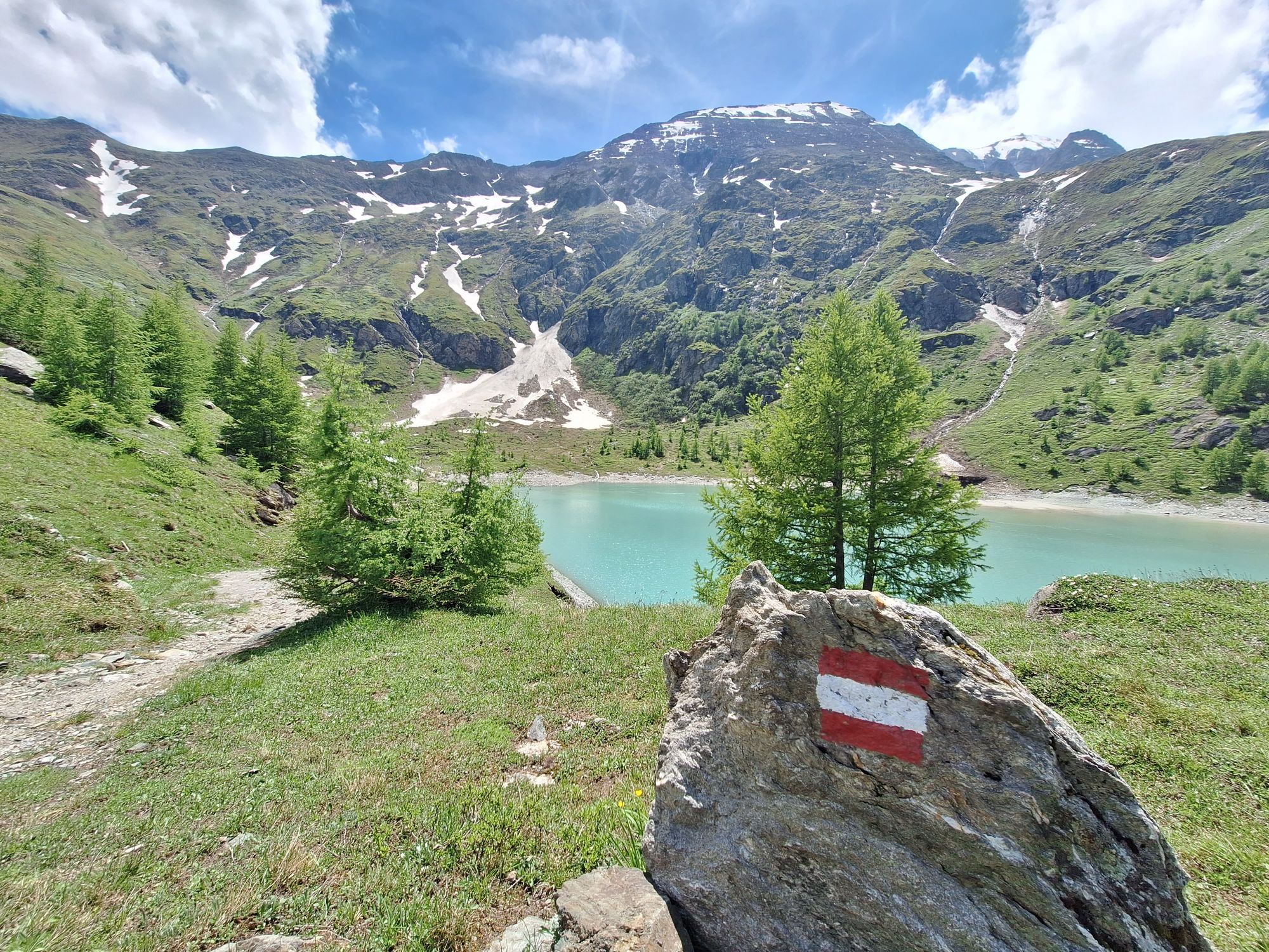
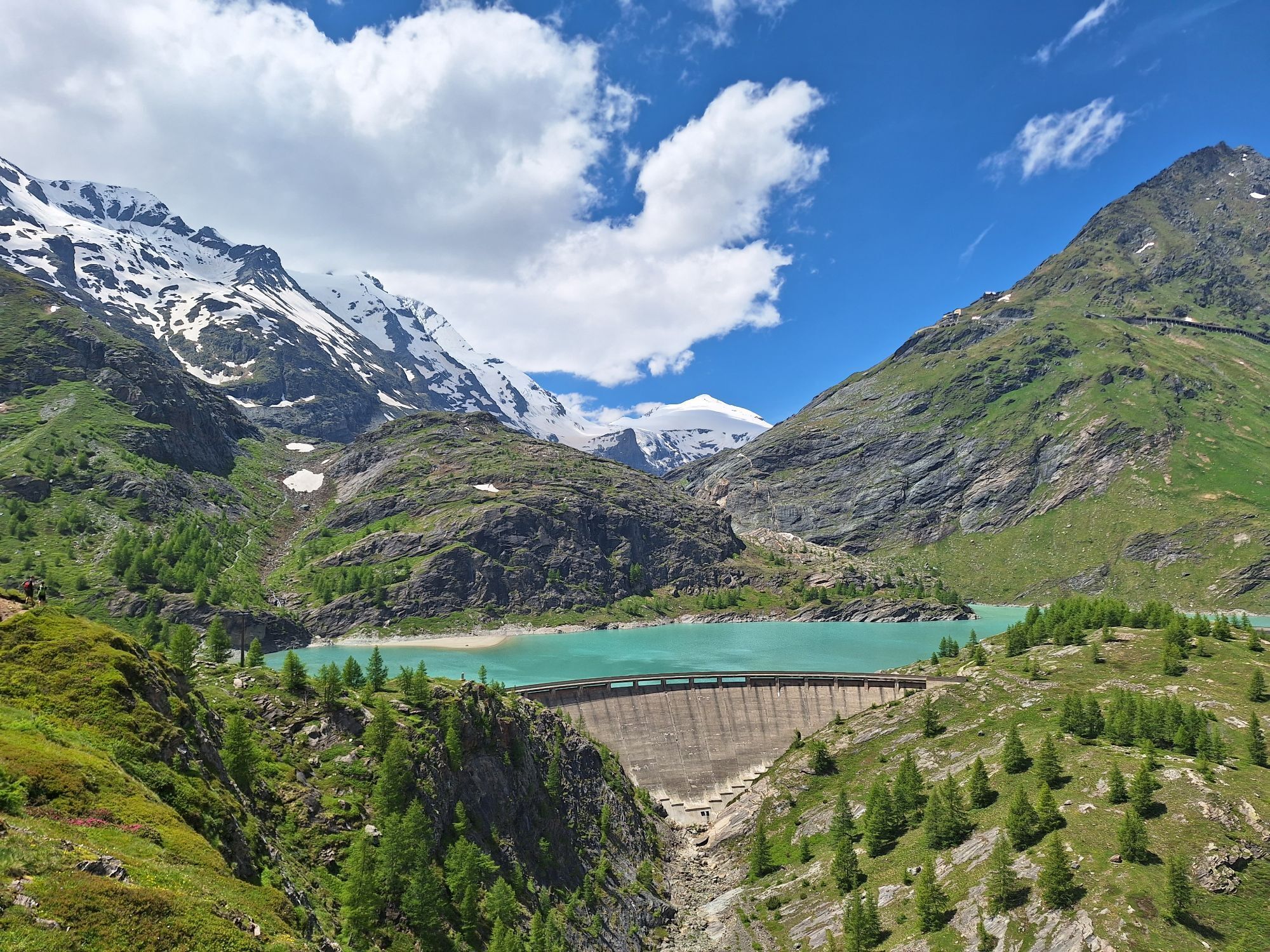
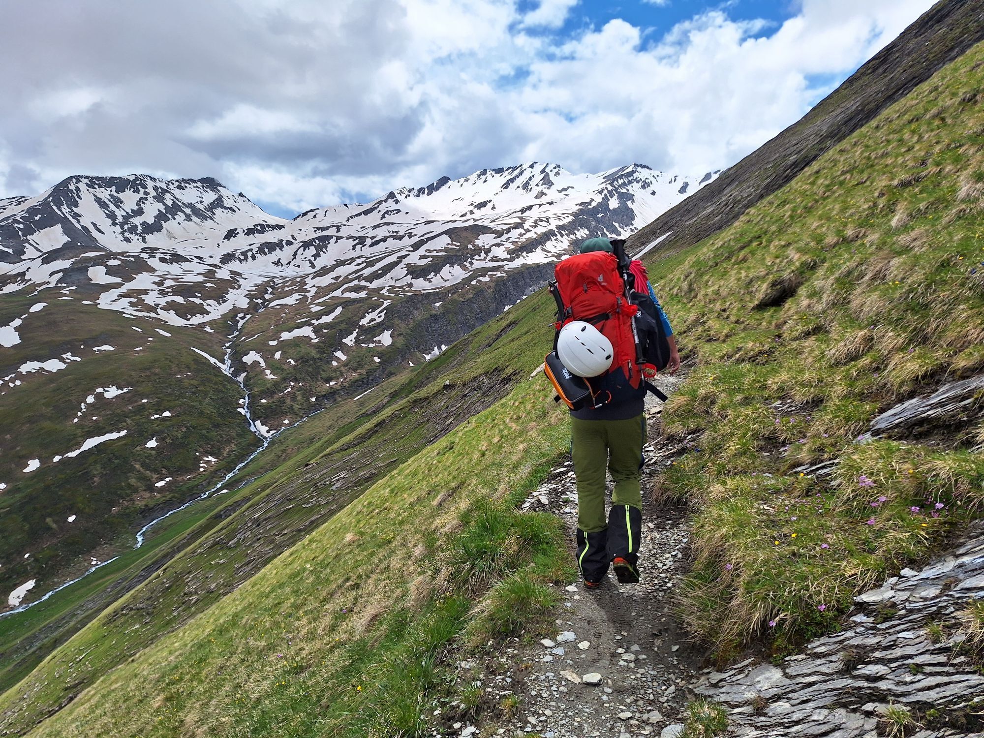
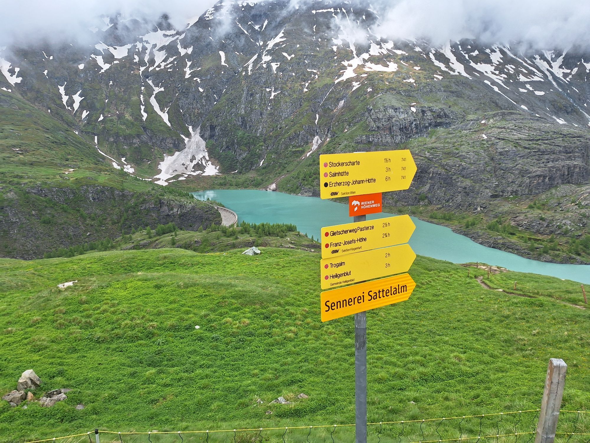
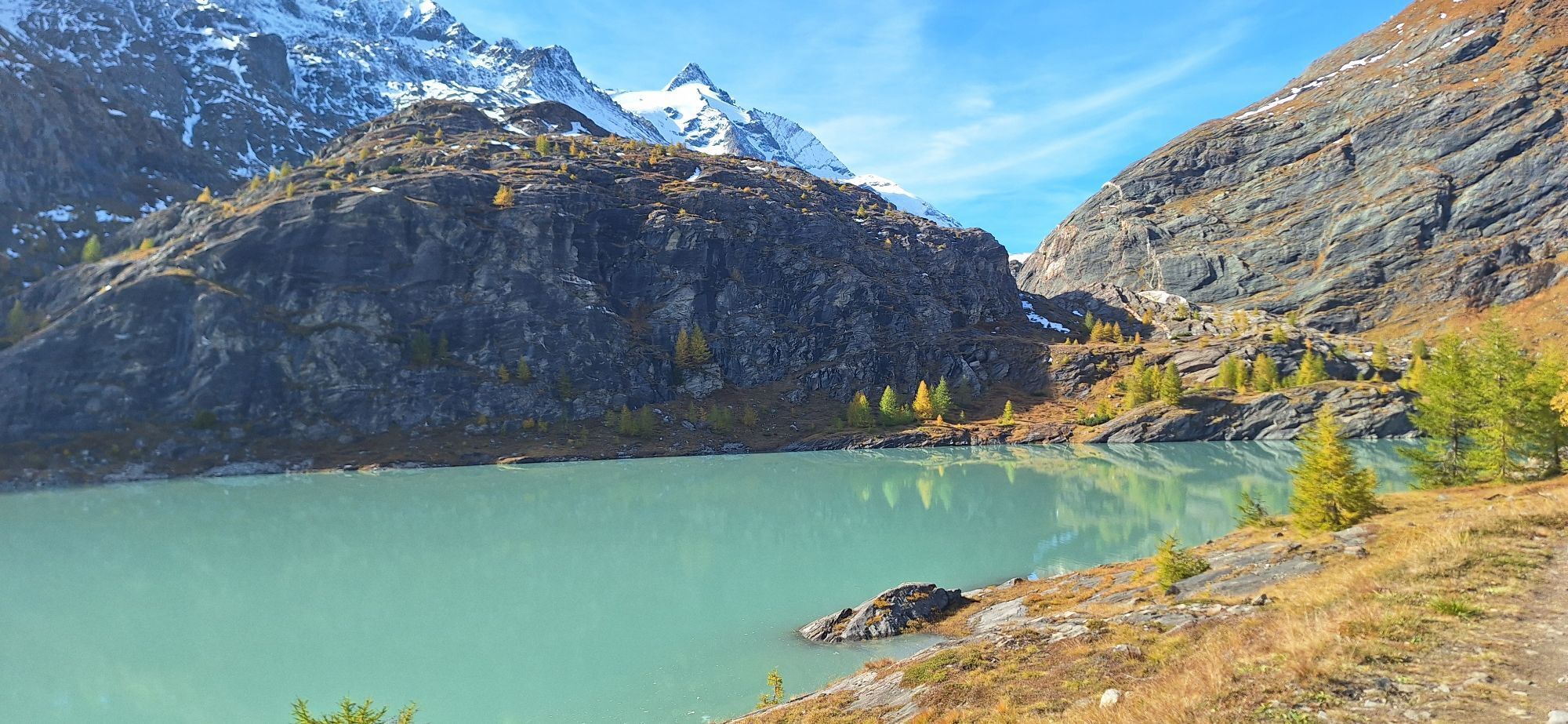
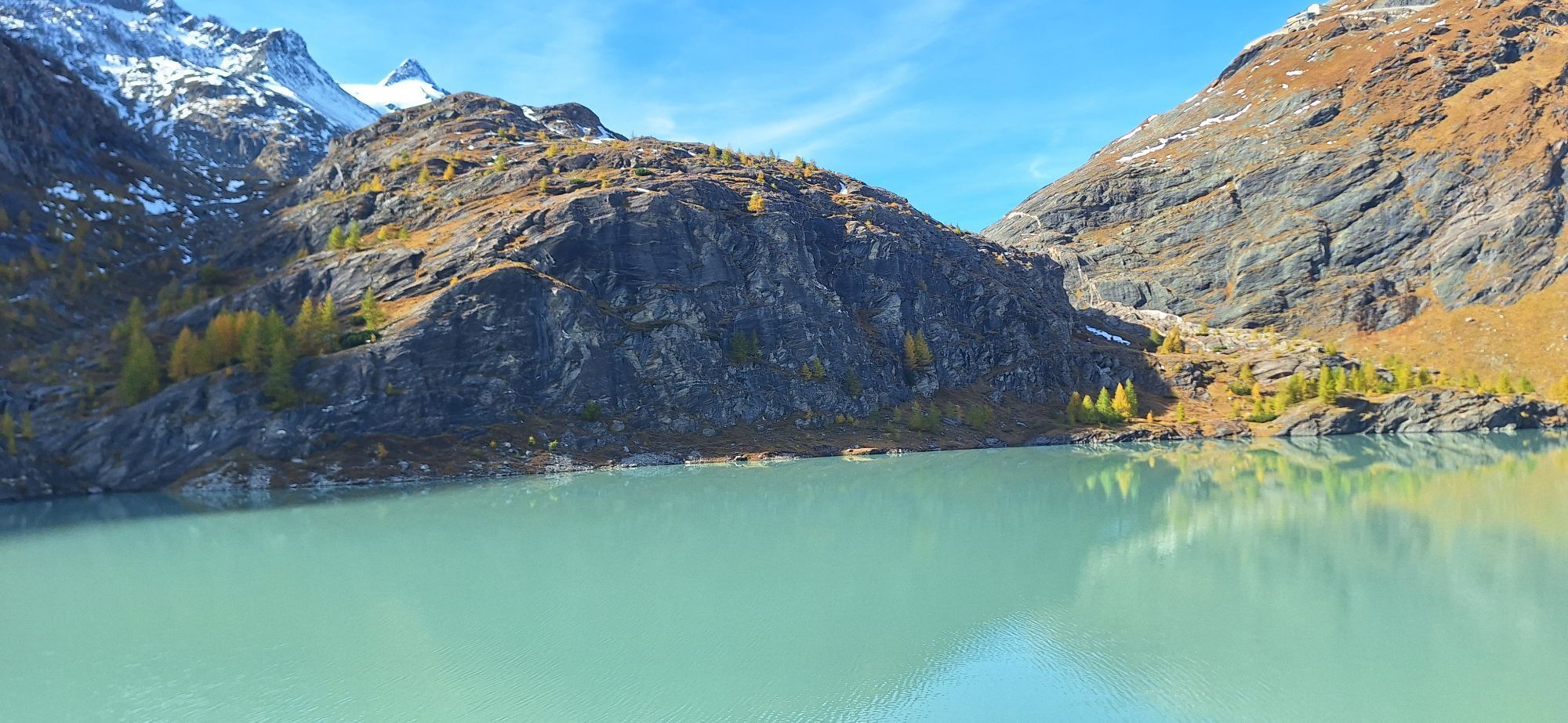
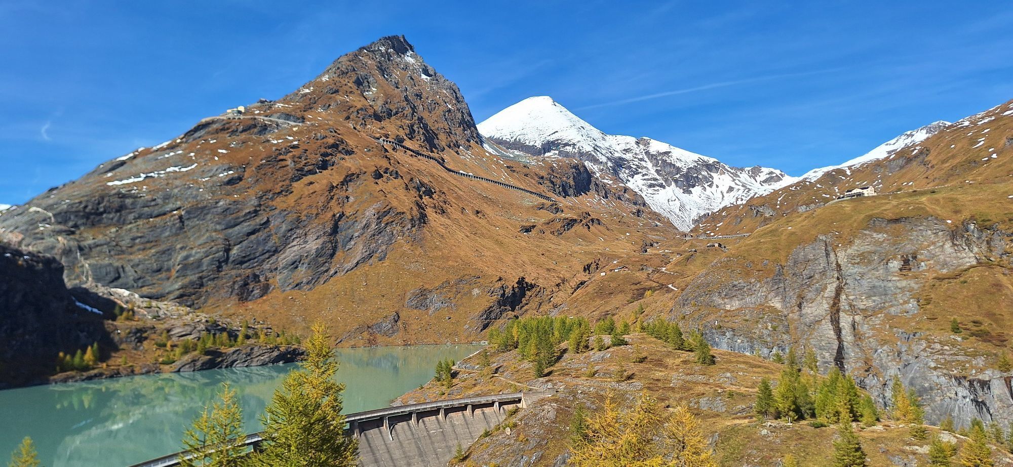
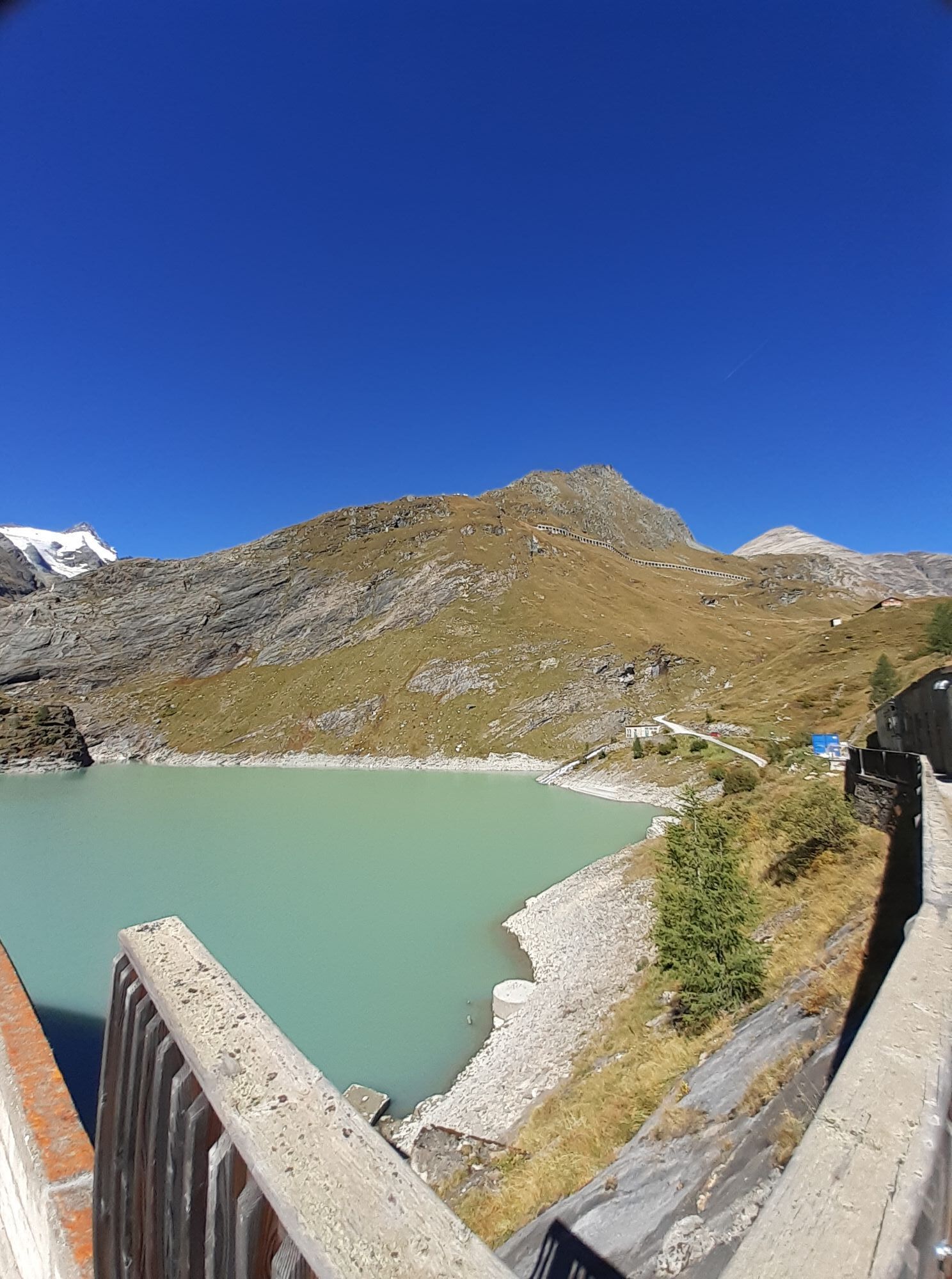
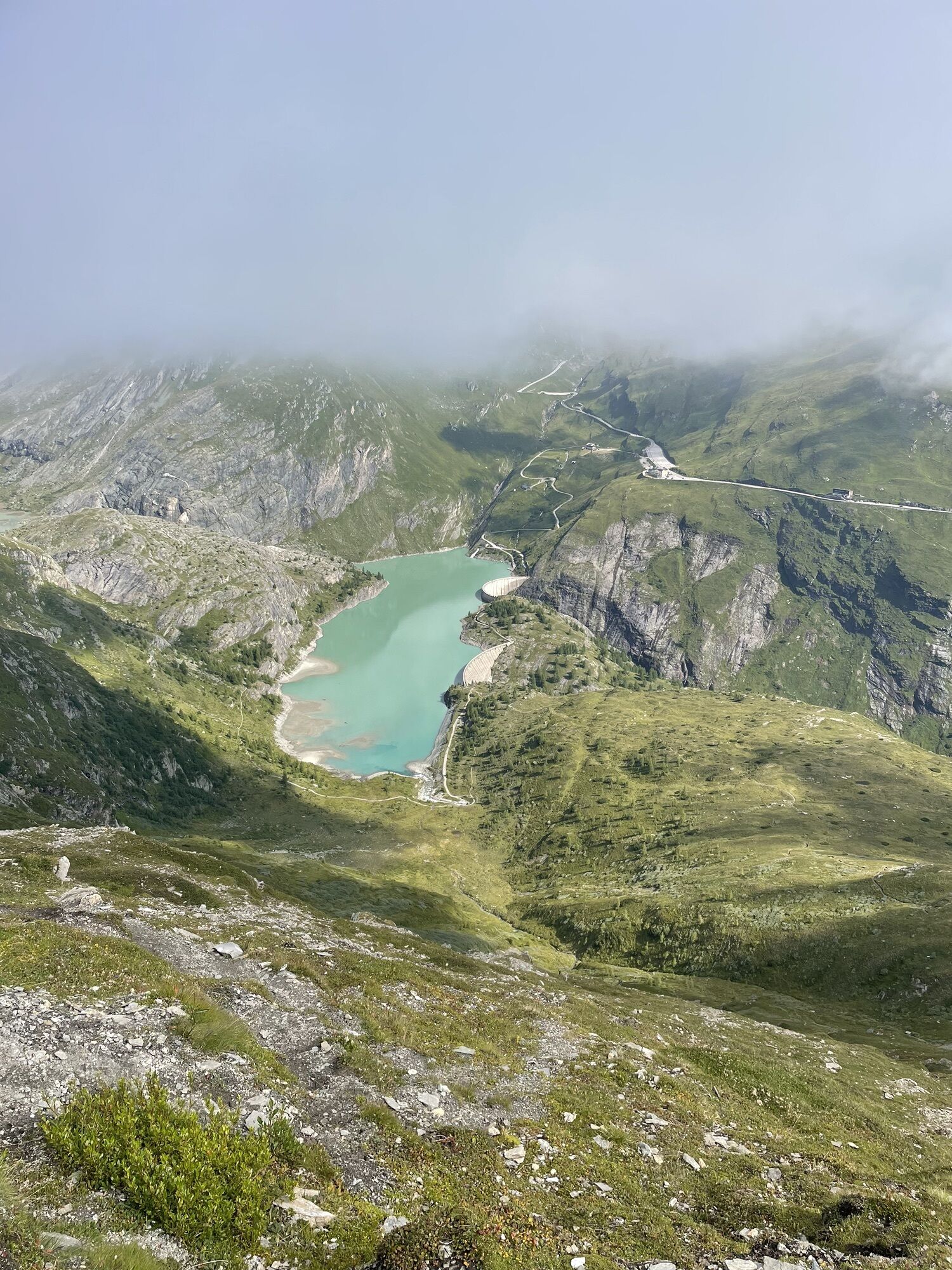
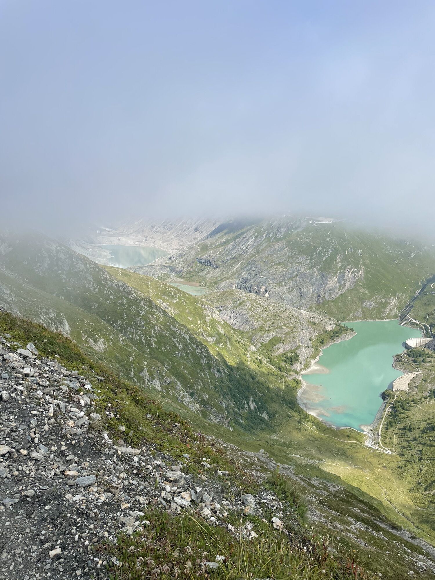
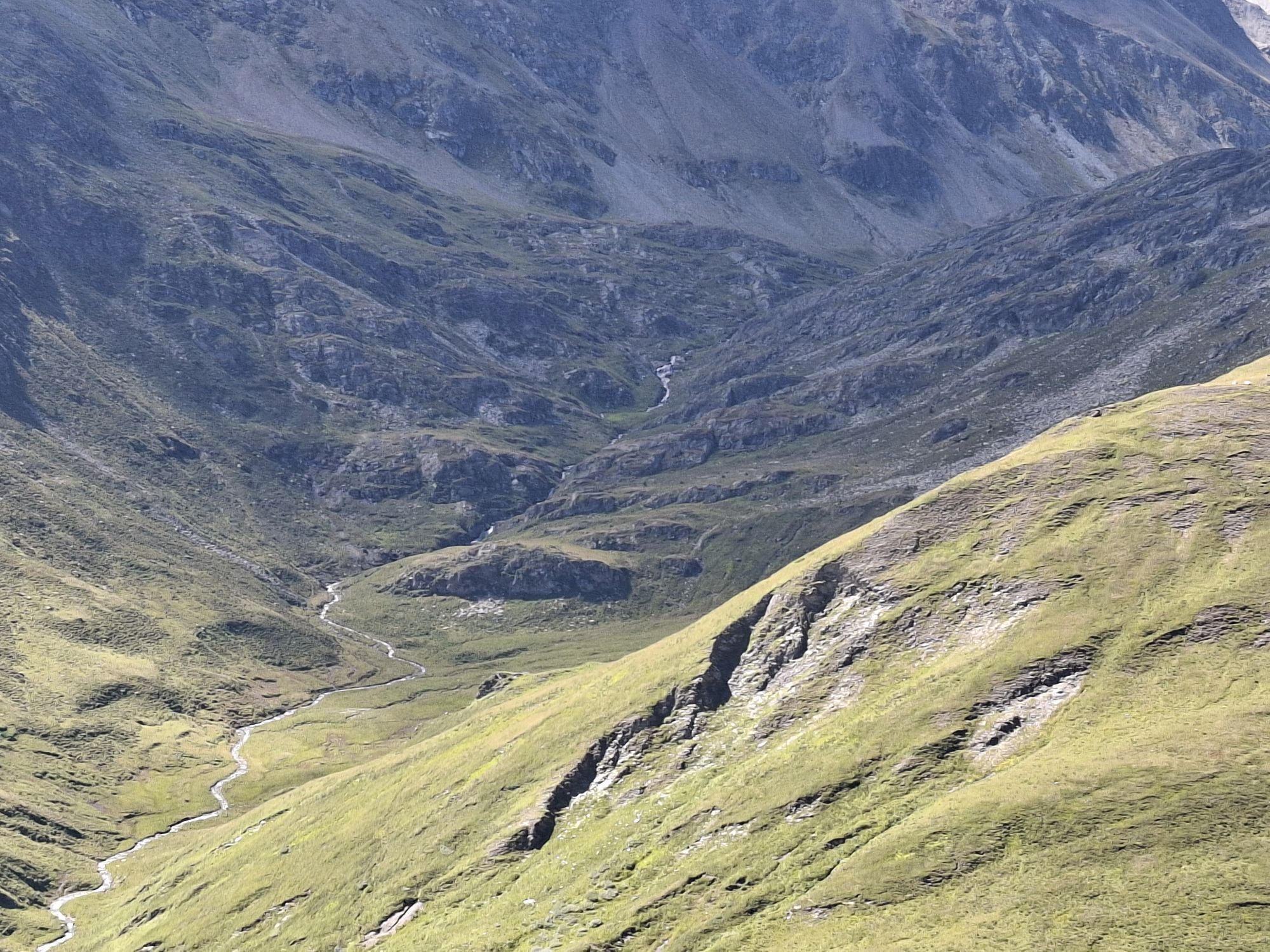
After a short descent from the Glocknerhaus, we cross the two dam walls of the Margaritzen reservoir.
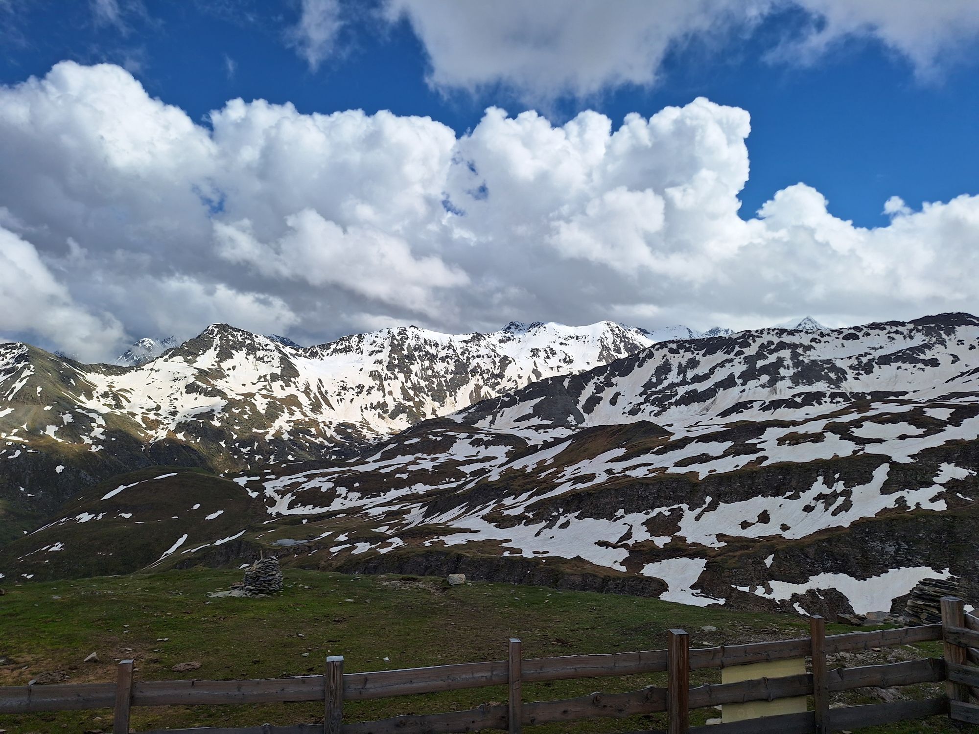
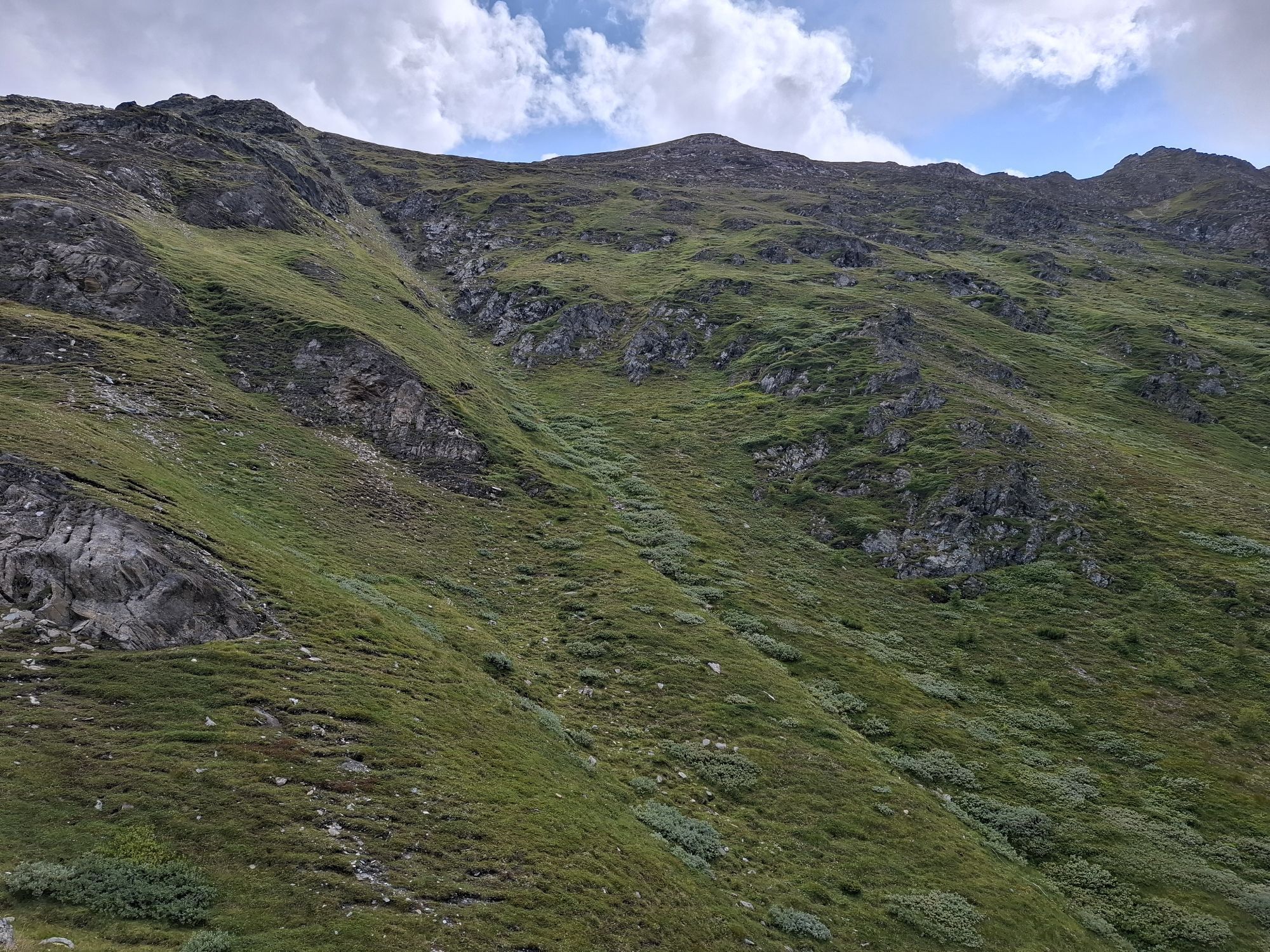
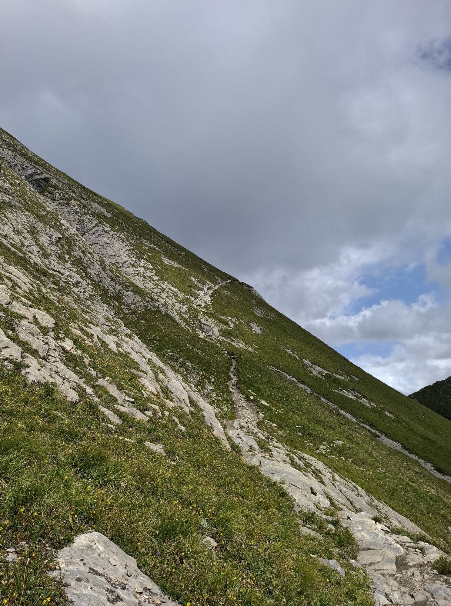
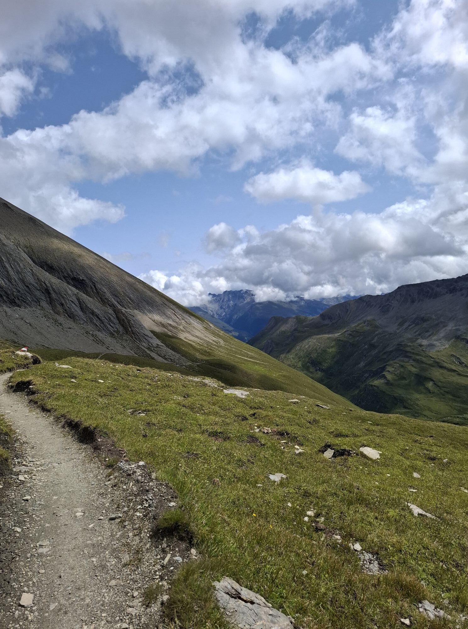
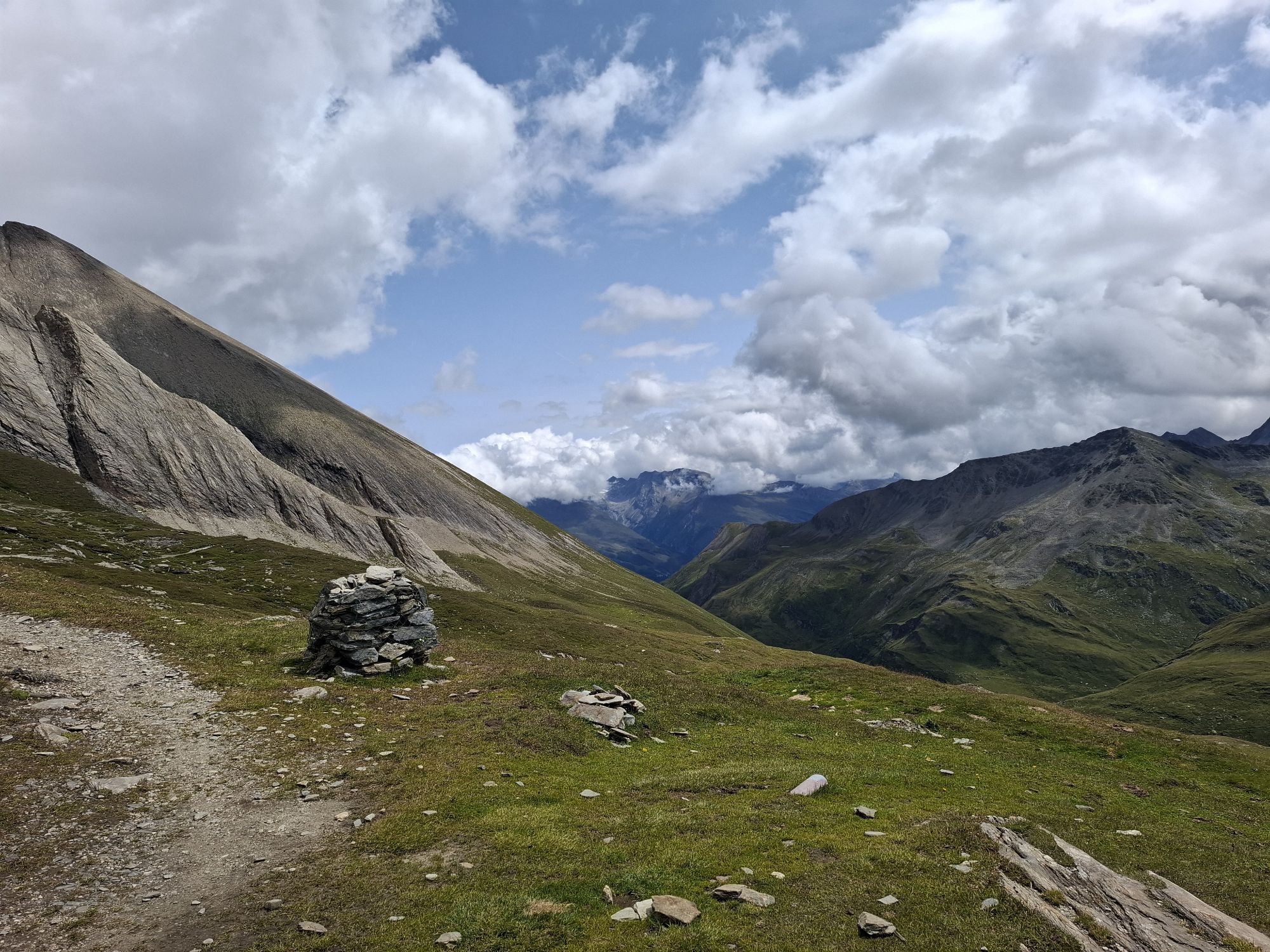
At the following fork in the path (sign Salmhütte), the path first ascends gently, then quite steeply from the halfway point up to the Stockerscharte. From there, we hike down a few vertical meters on a rope-secured path, then ascend gently to the Salmhütte (first overnight option).
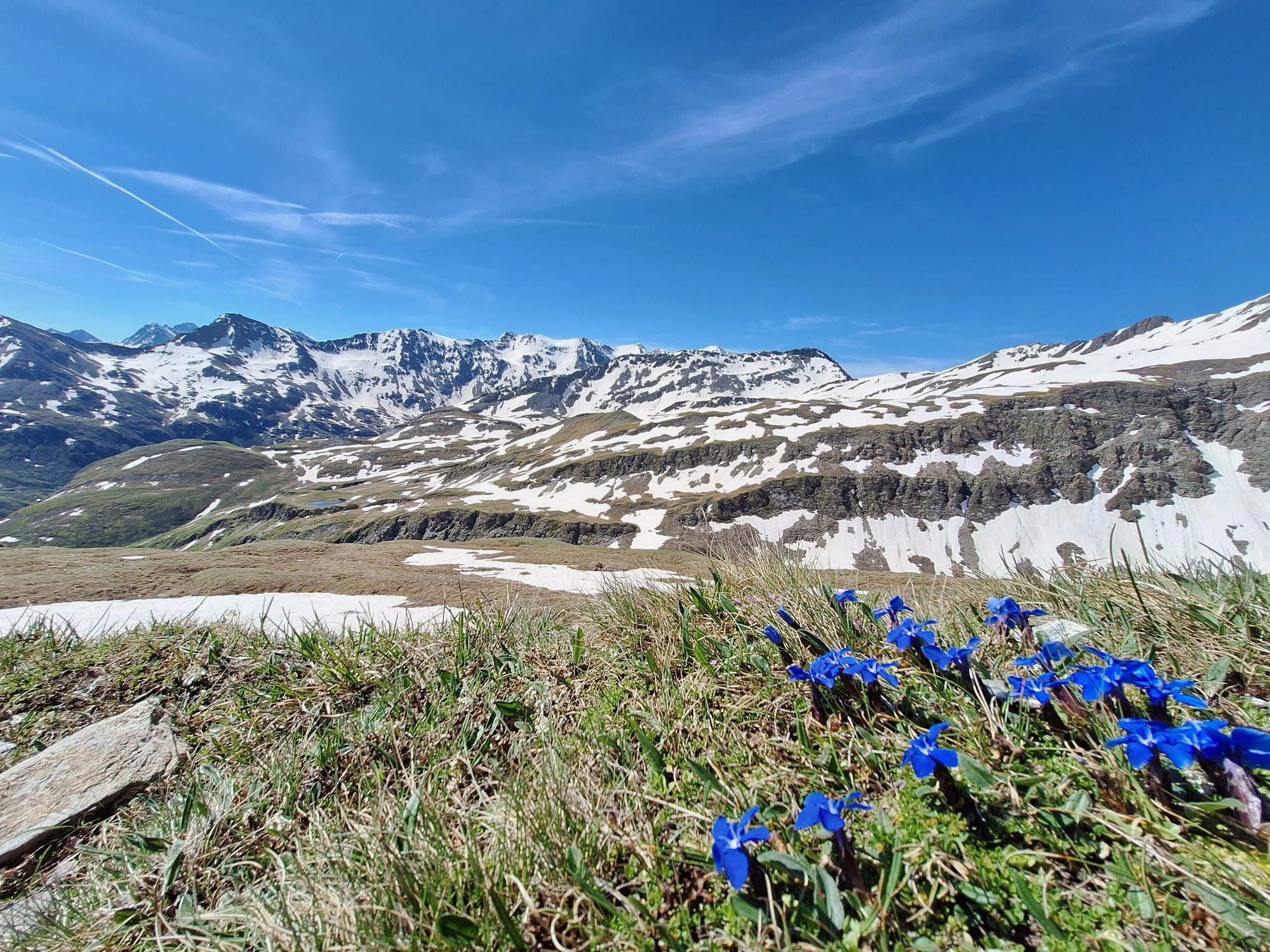
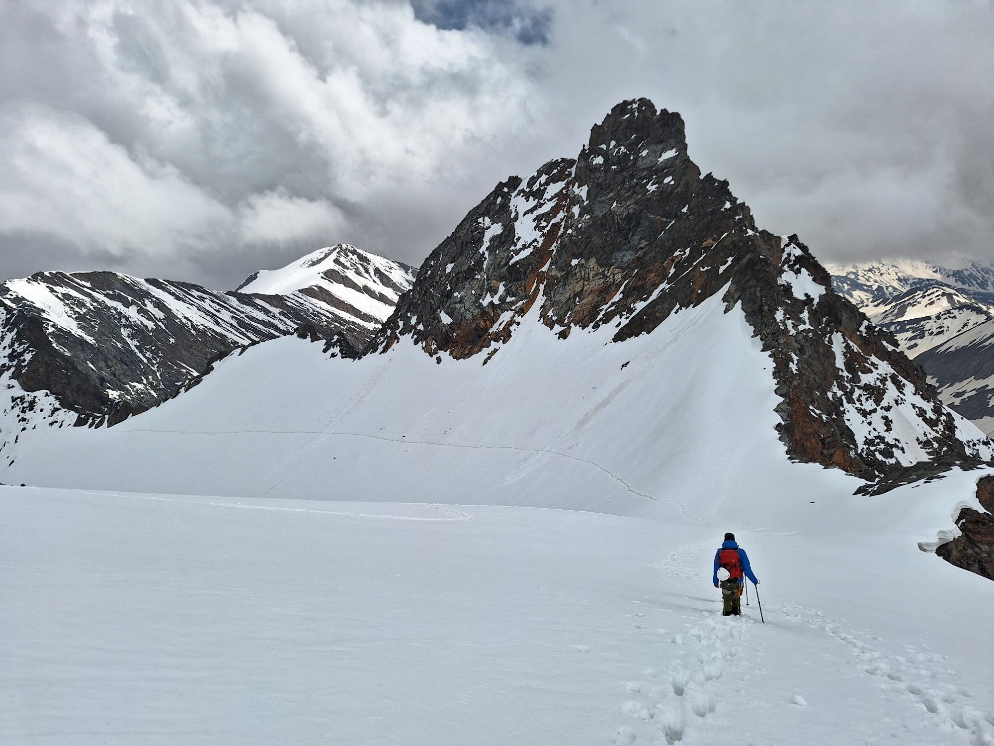
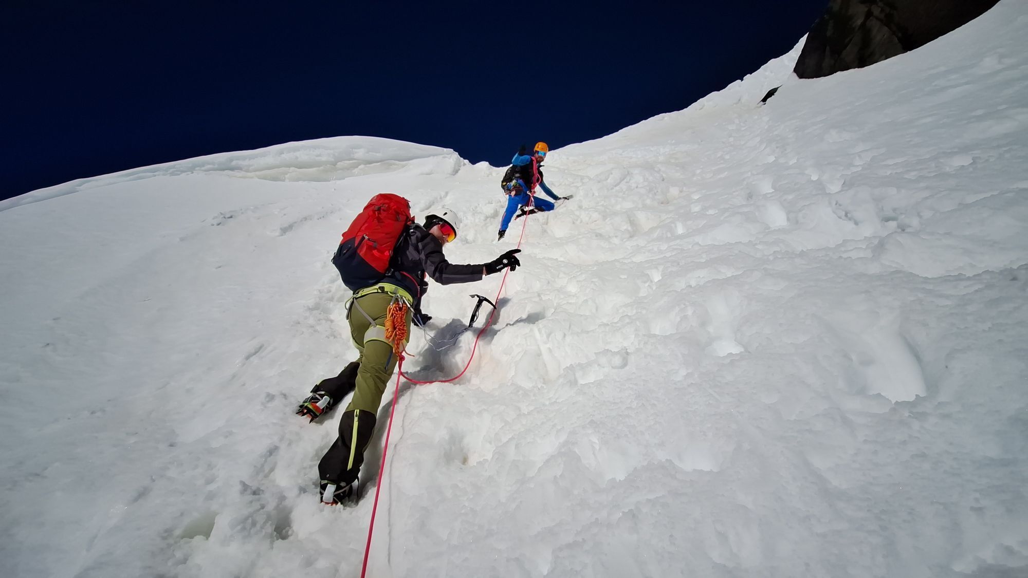
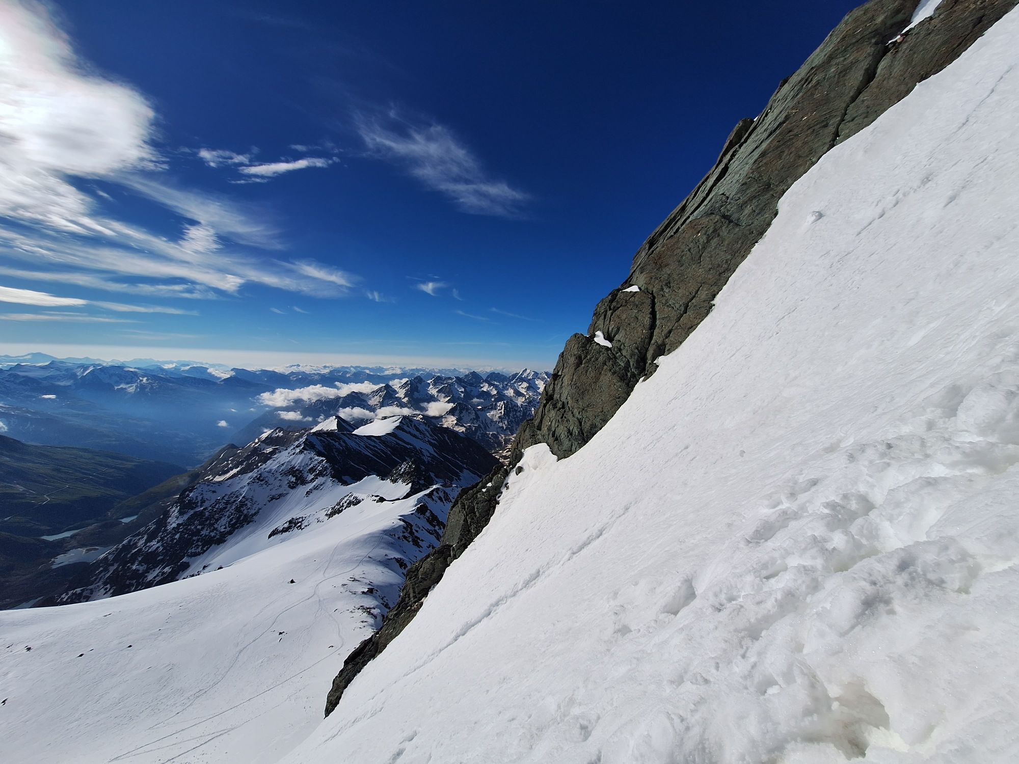
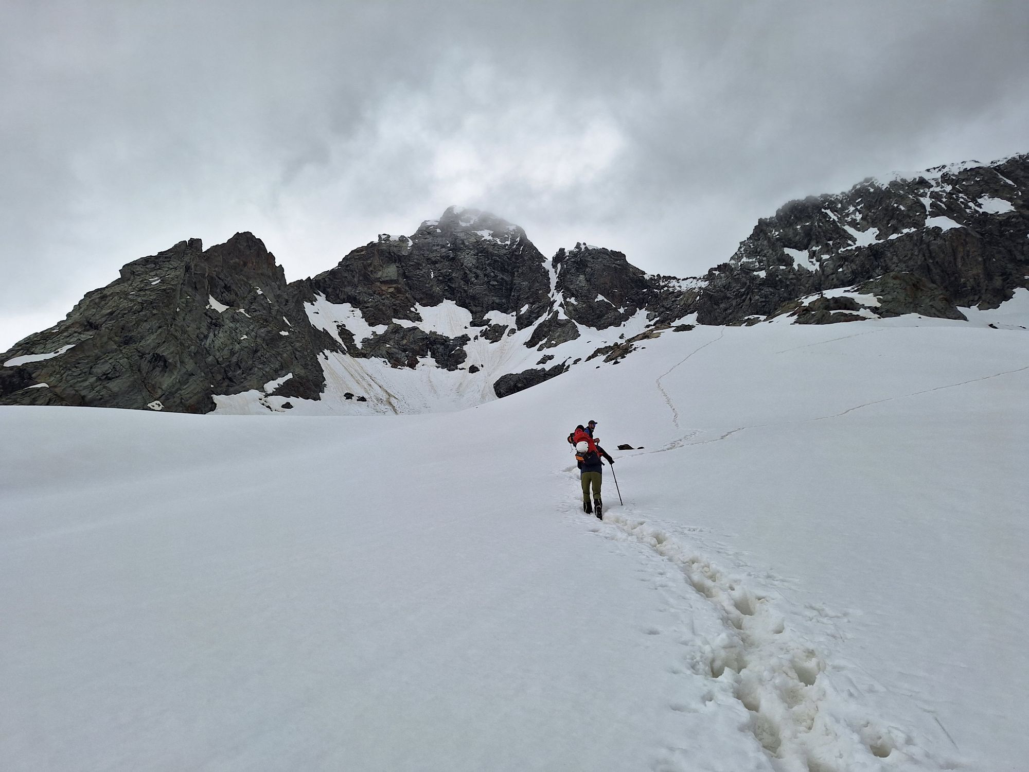
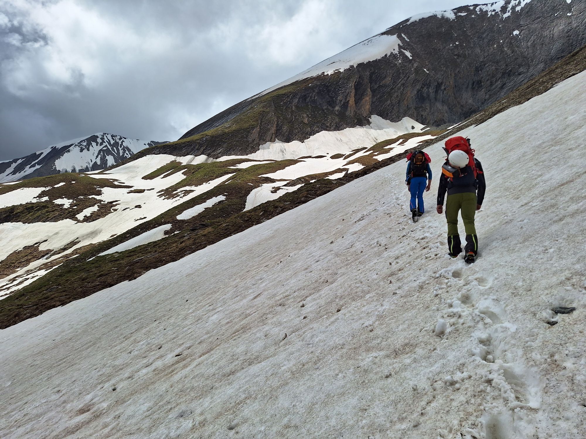
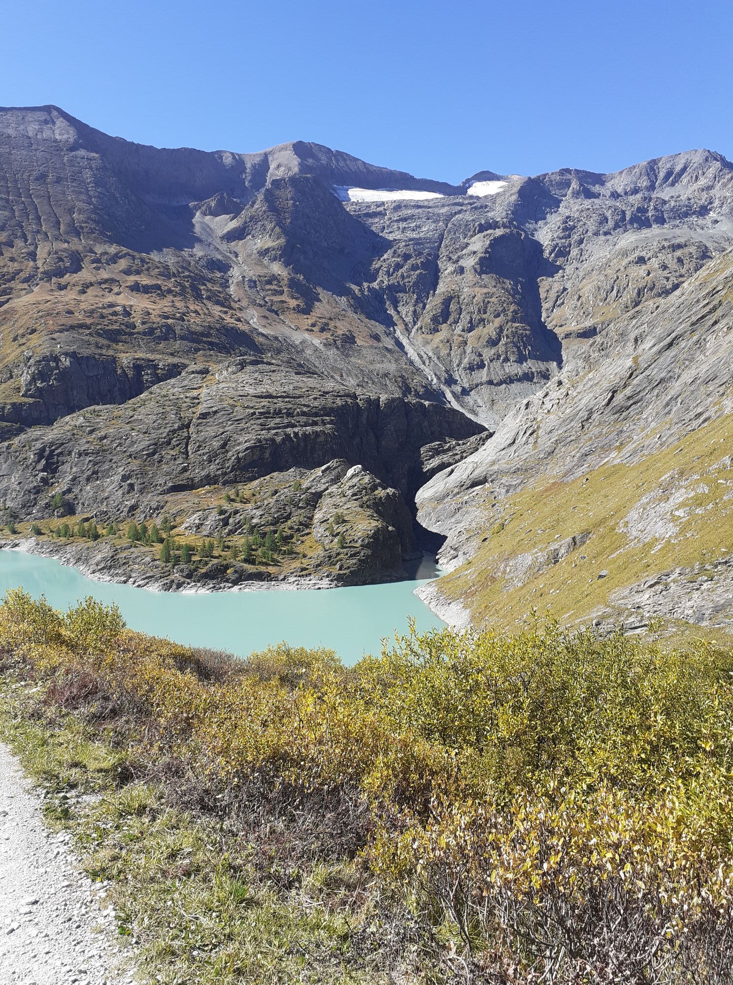
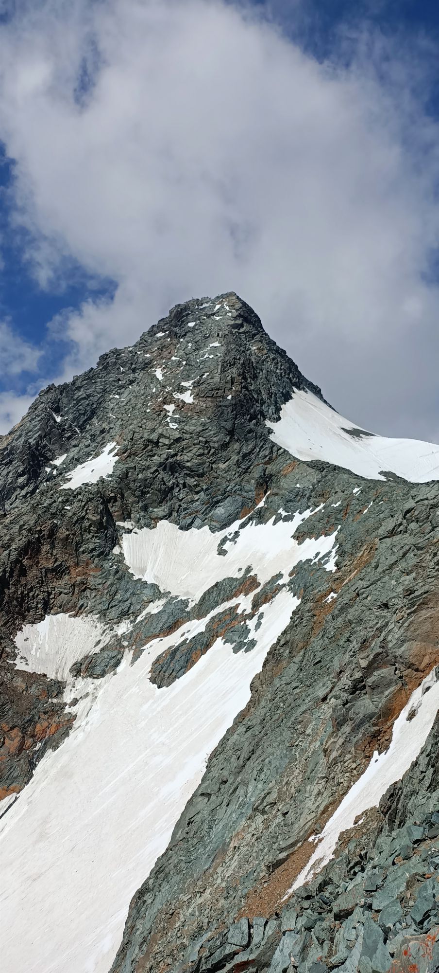
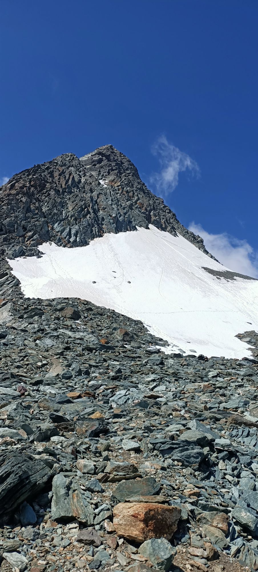
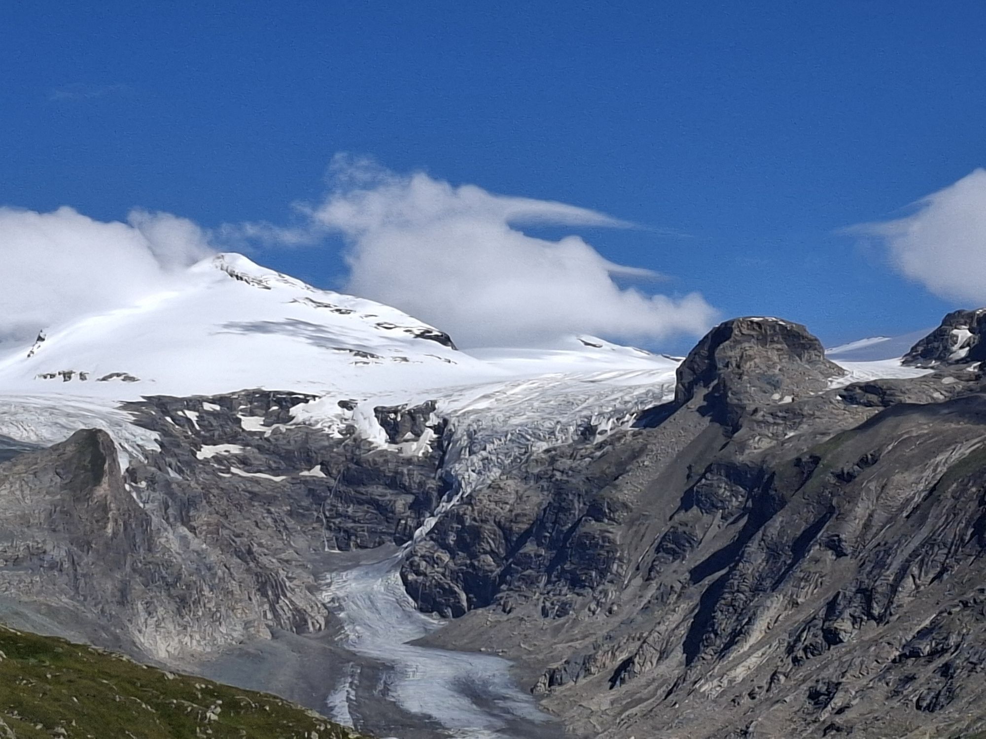
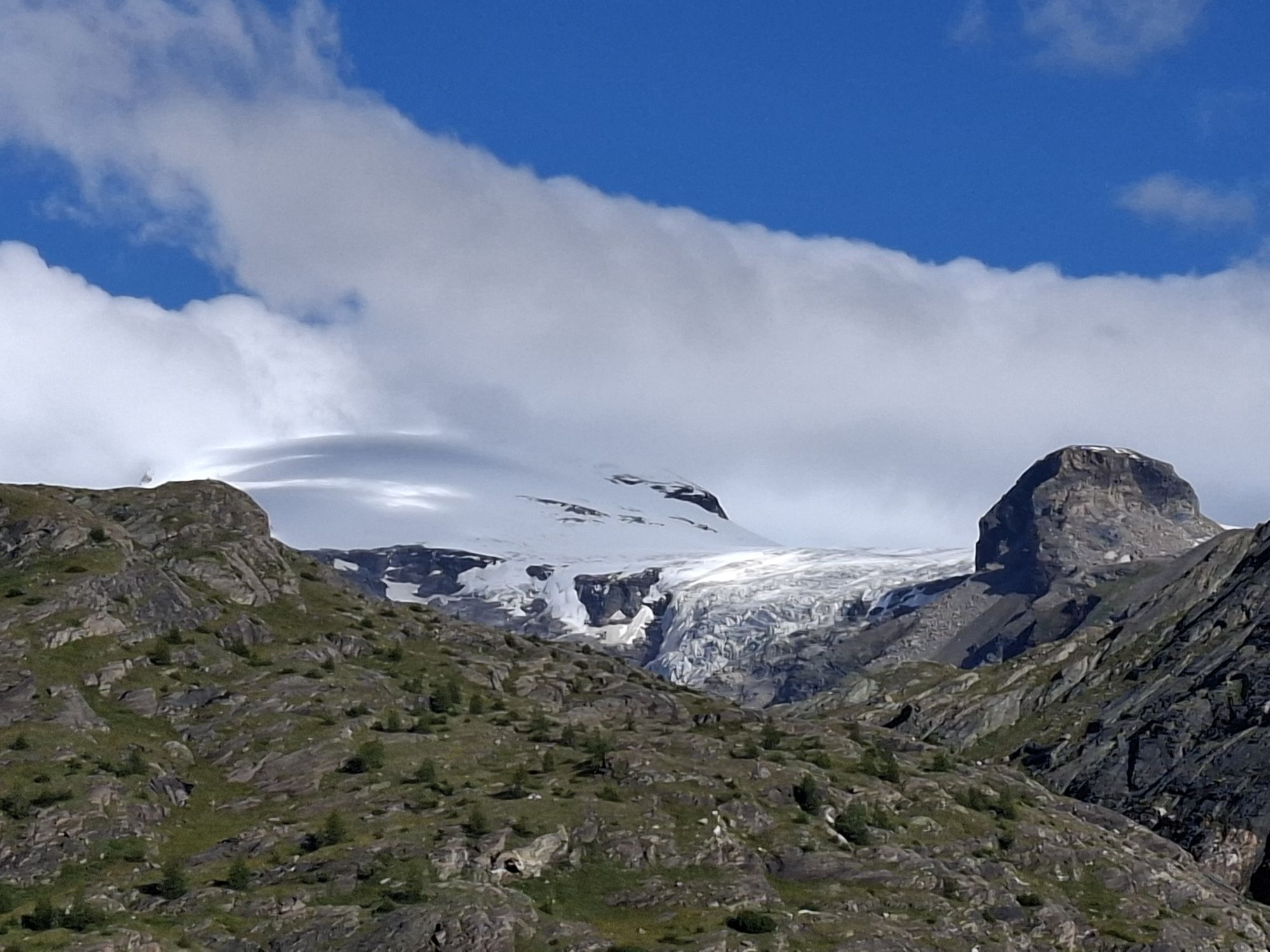
From the Salmhütte, follow the partially marked path to a striking rock ridge and further to the Hohenwartkees. We cross the firn field partly on ice, partly over a steep stone moraine up to a steep rock step. Via rope protections and drilled-in steps, it then gets even steeper up to the Hohenwartscharte. From the Hohenwartscharte, you cross the Hoffmanns glacier to the Salmskamp and climb partly exposed over this to the Erzherzog Johann Hut on the Adlersruhe (second overnight option).
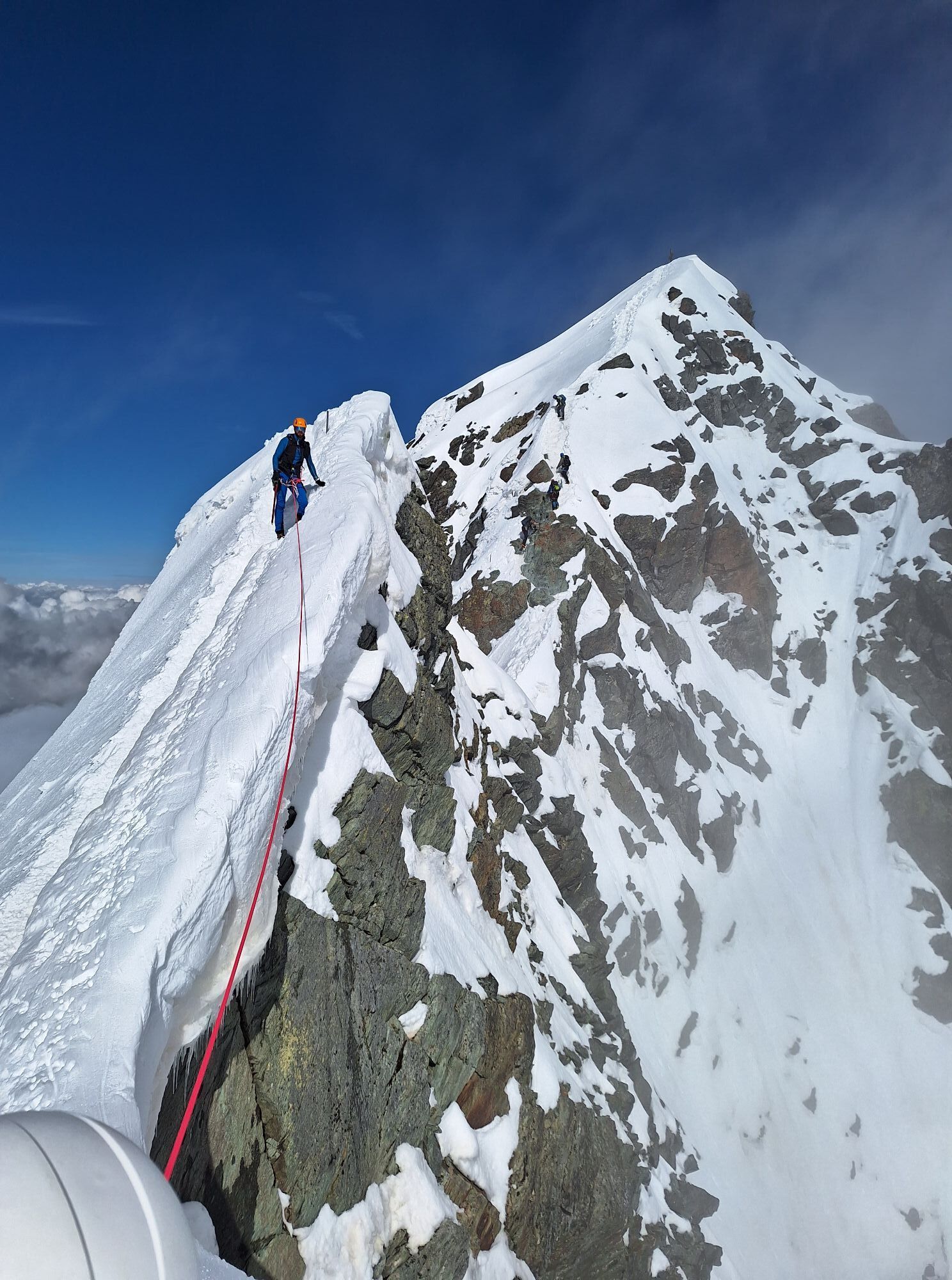
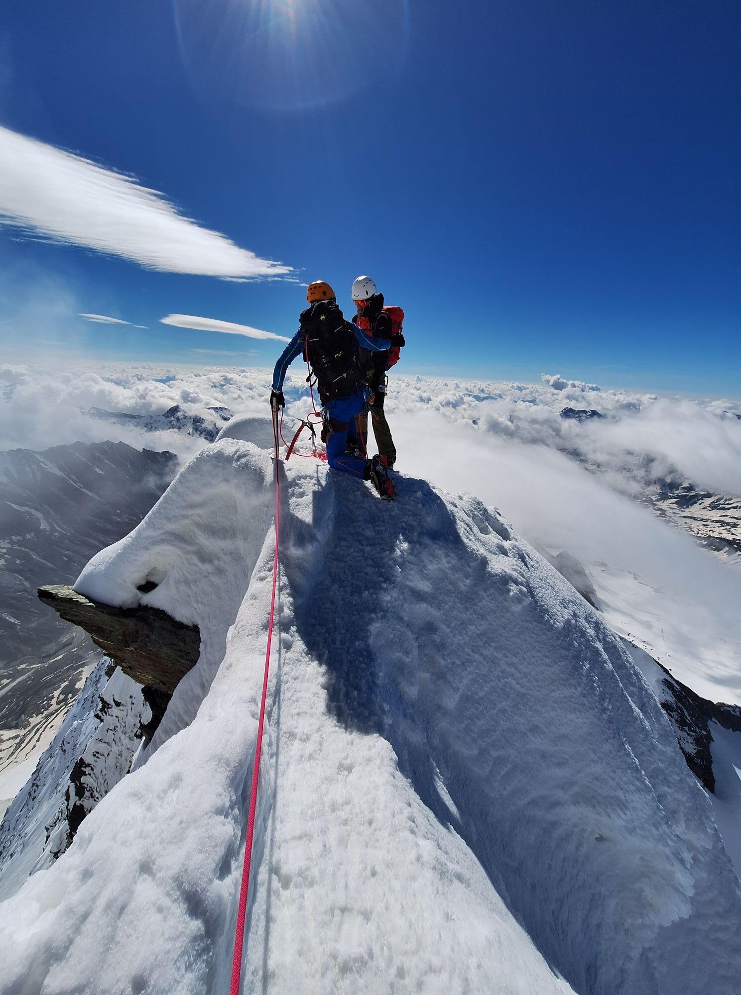
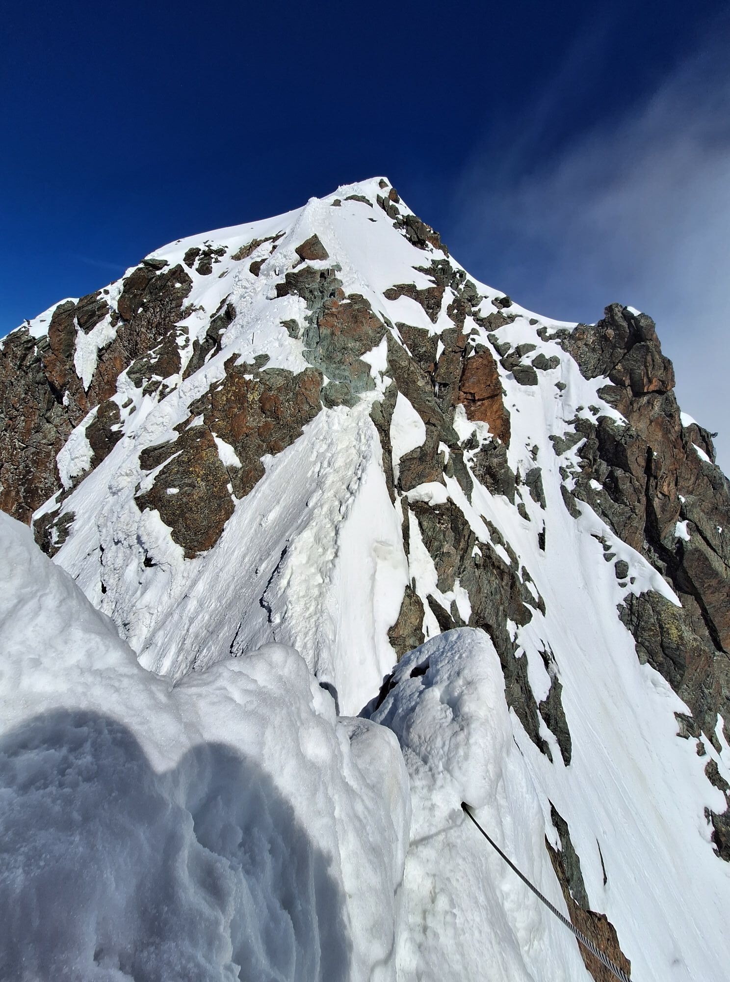
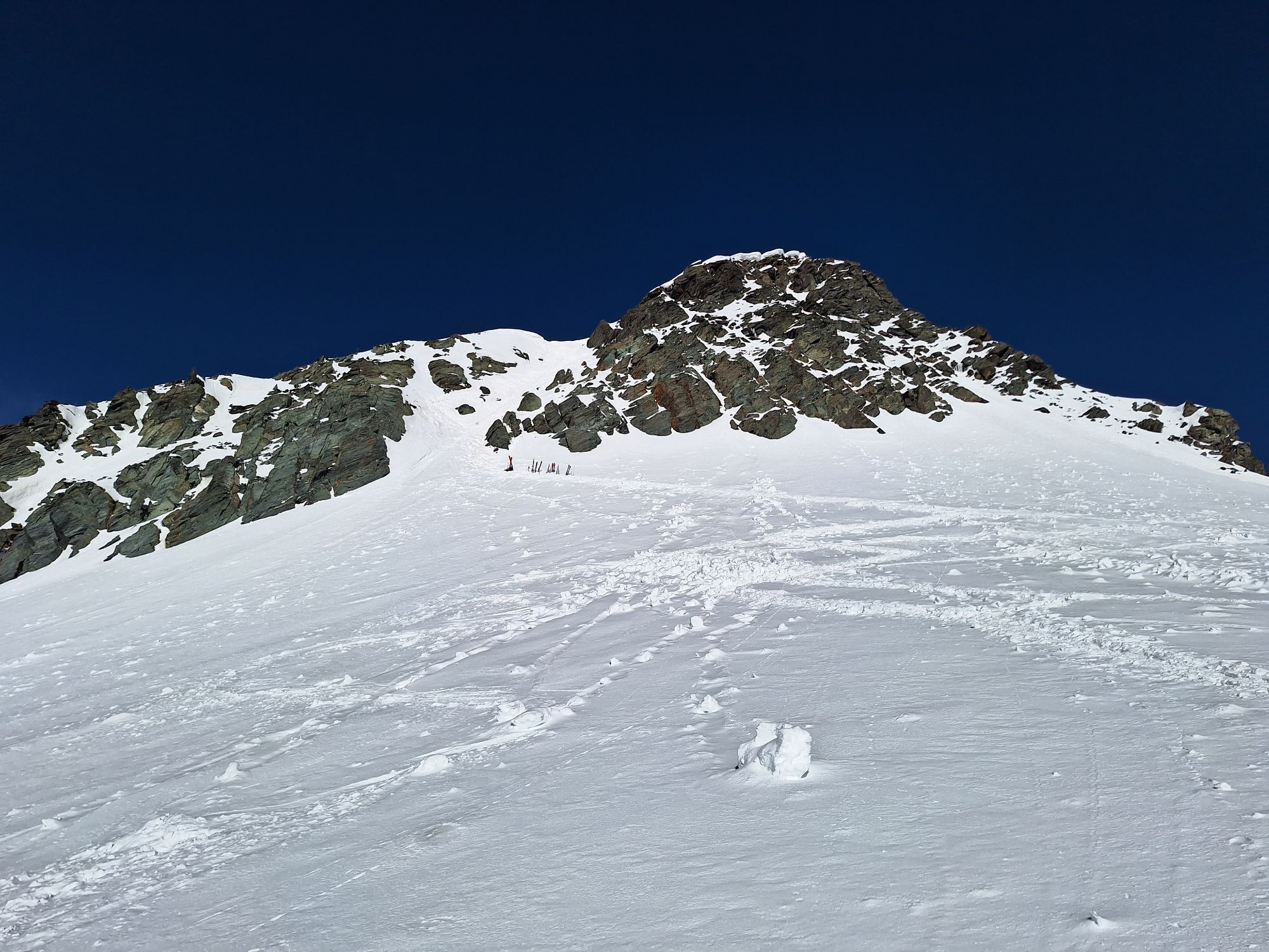
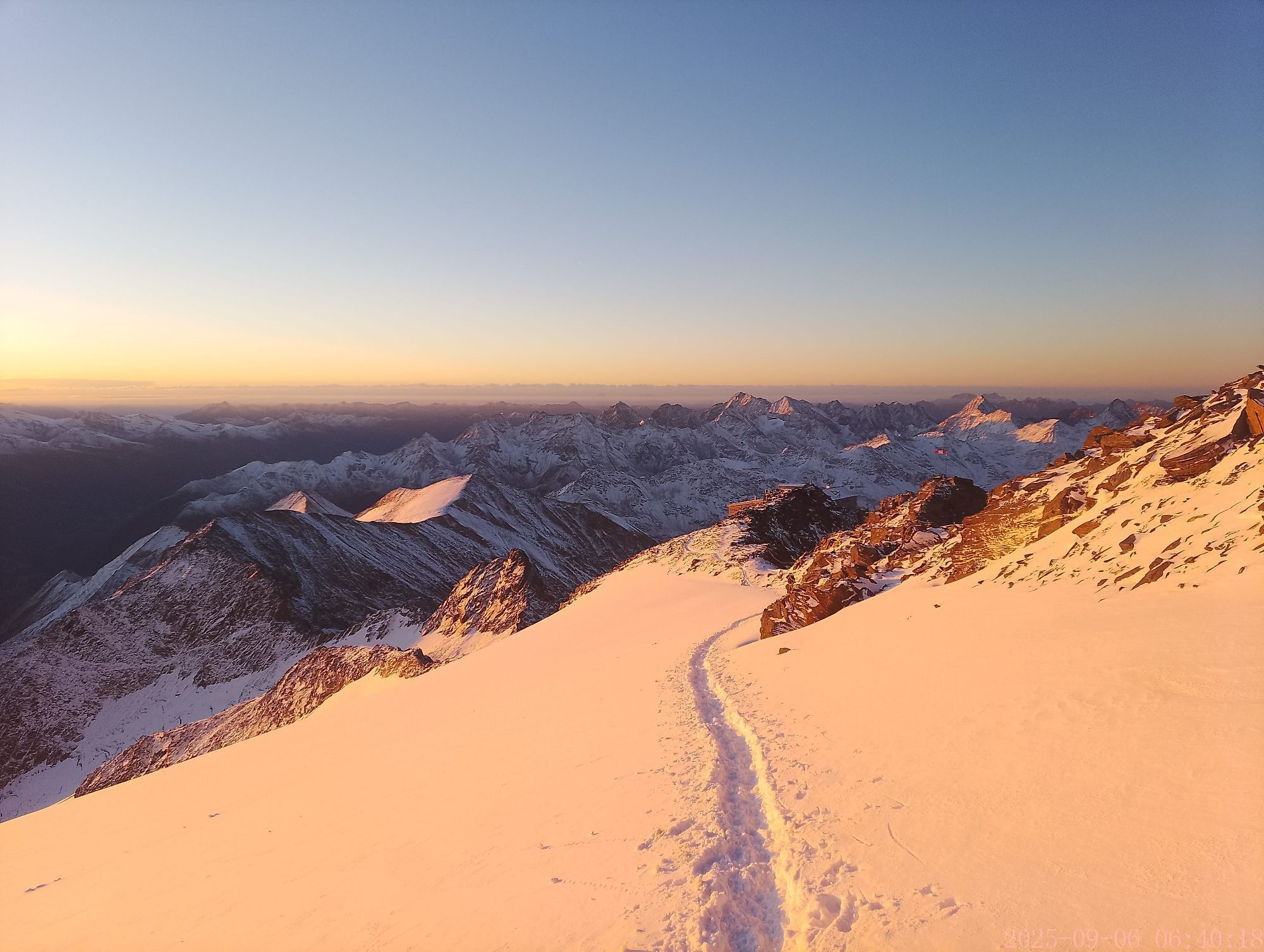
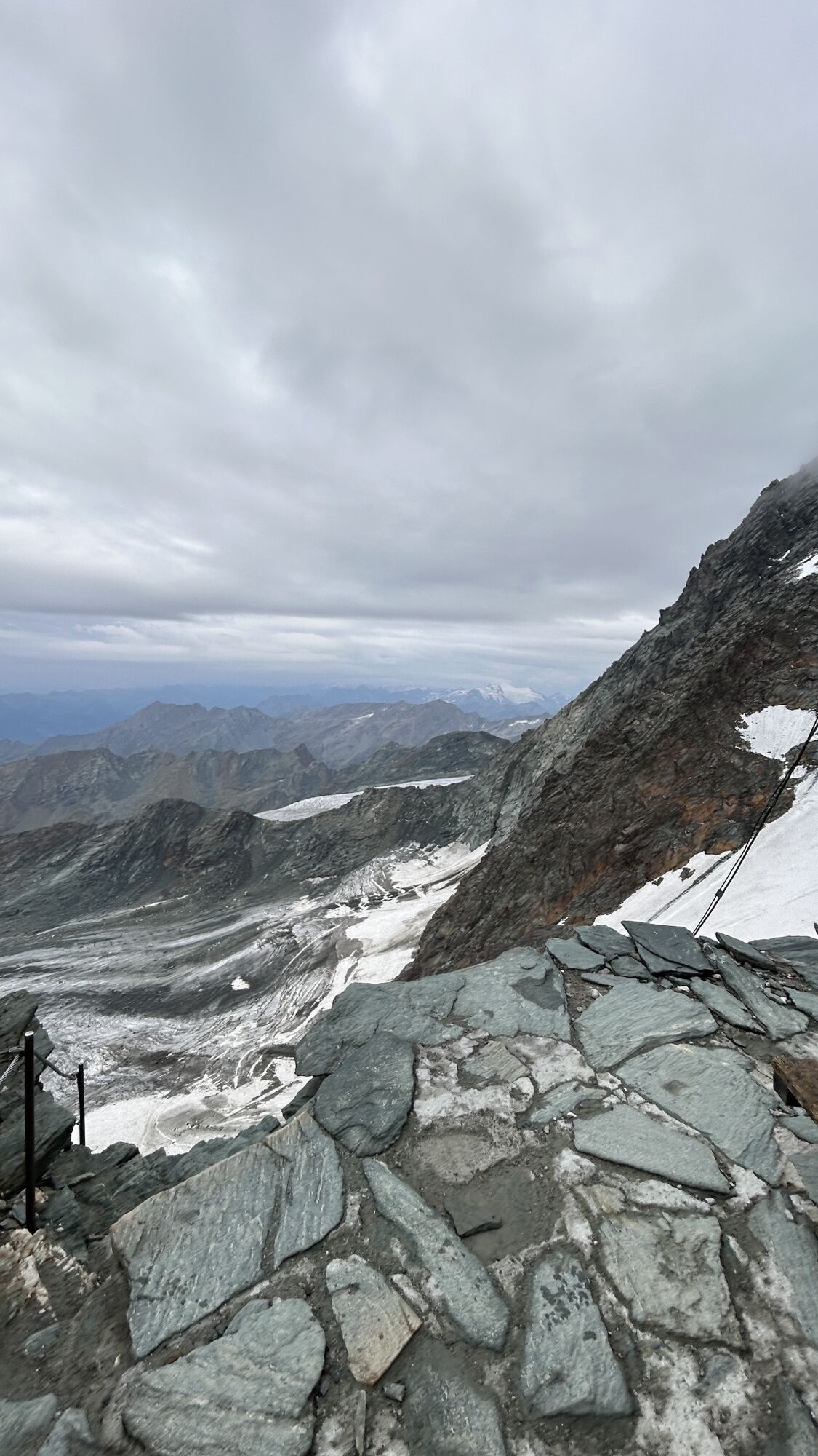
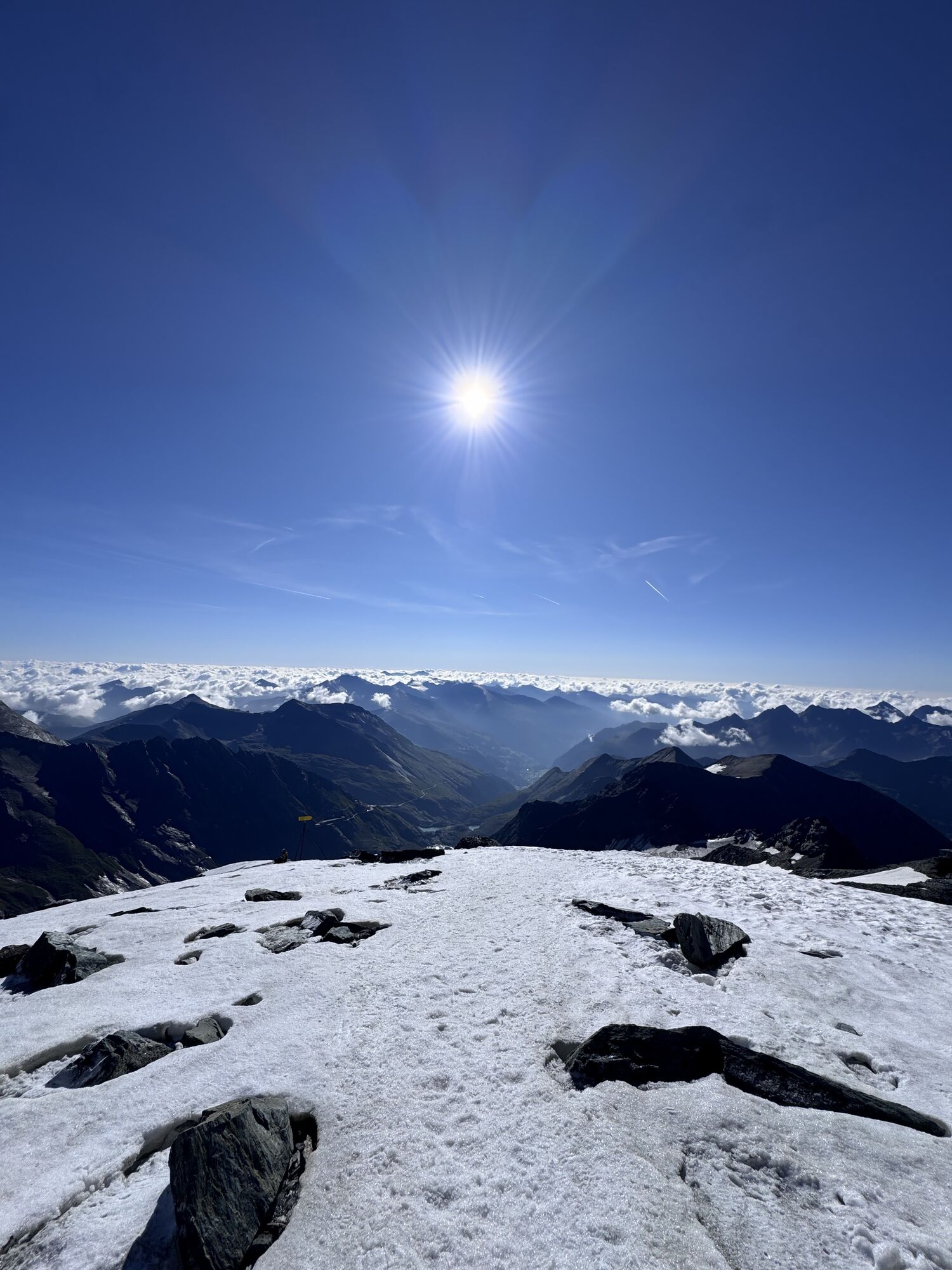
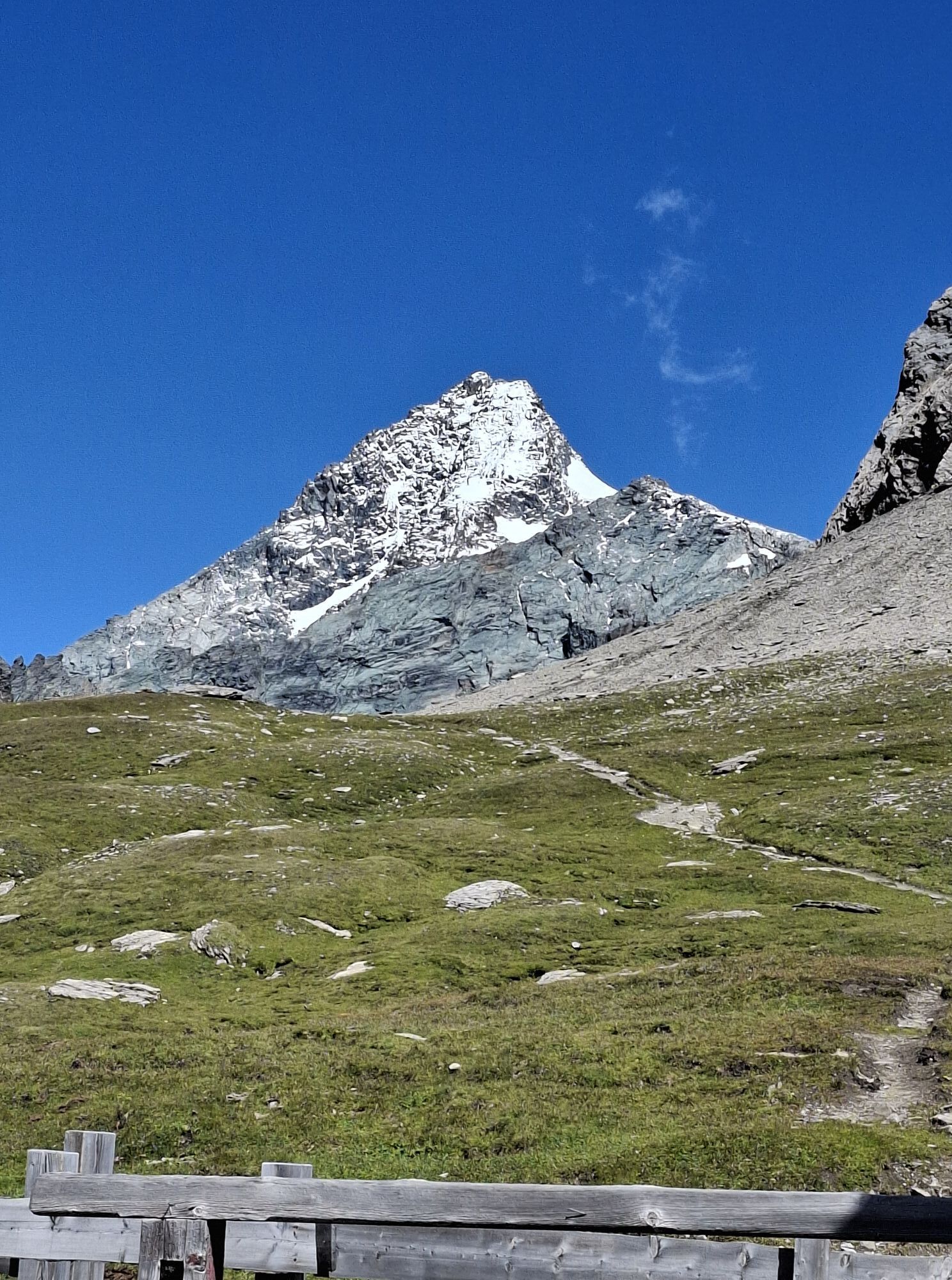
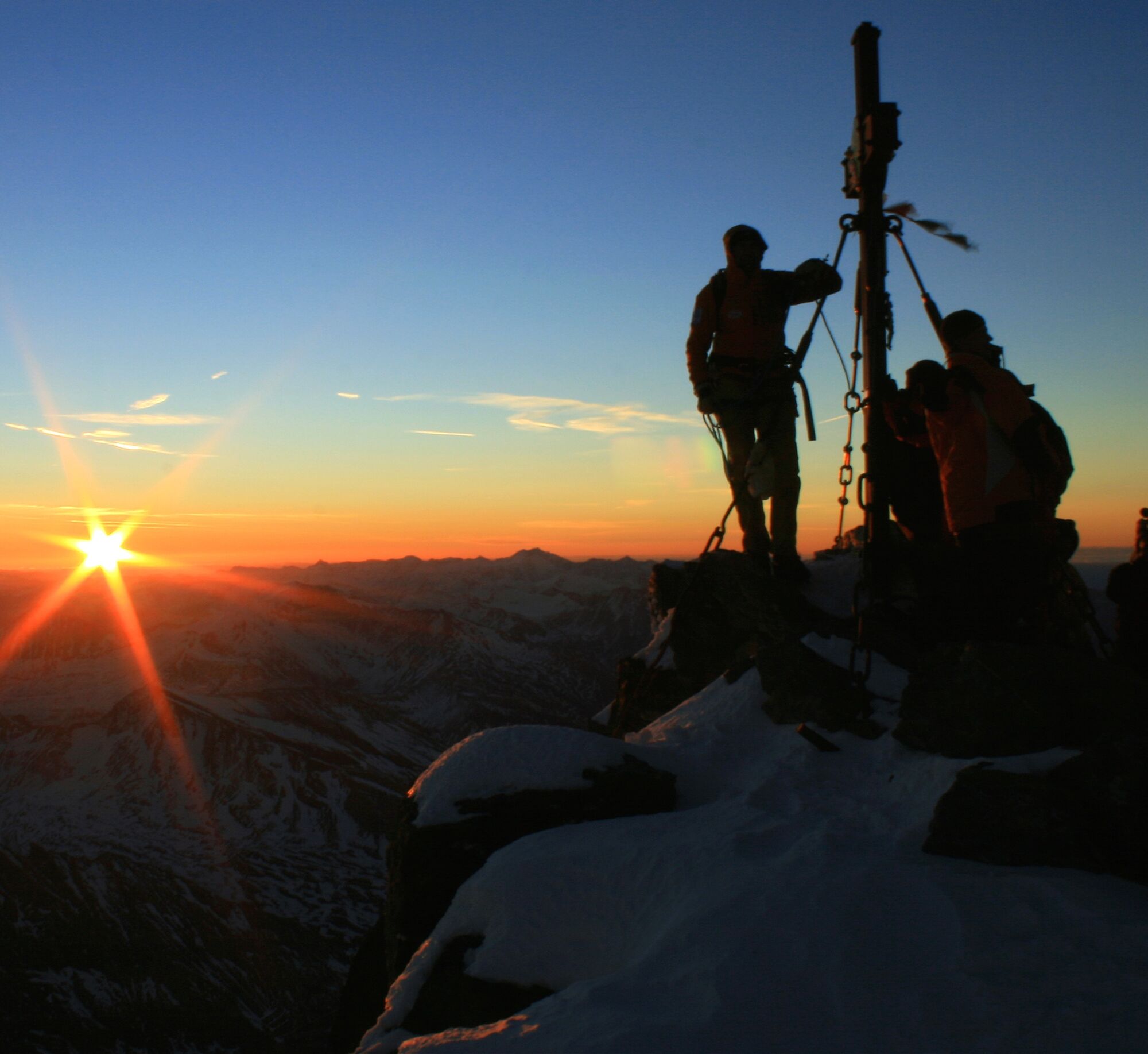
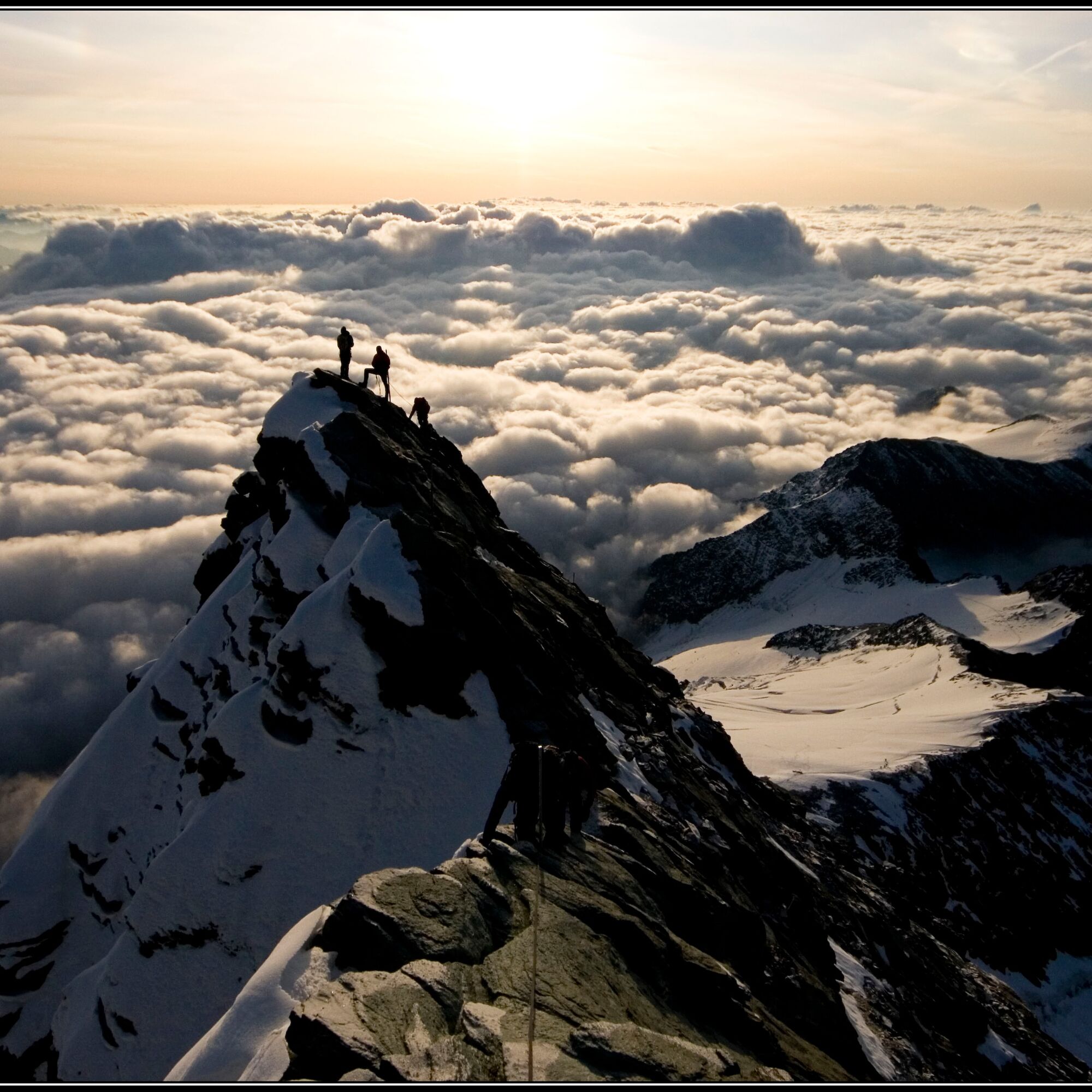
The normal route to the summit leads over the 40° steep Glocknerleitl, often icy and difficult to walk on in midsummer, to the "saddle." There the exposed climbing begins, crossing the narrow ridge of the Kleinglockner (with poles for securing) and descending to the Glocknerscharte. Just after the Glocknerscharte is the key section – a roughly 6-meter-high rise with a difficulty grade of II+, before continuing towards the summit with somewhat easier climbing. Descent follows the ascent (approx. 6 hours).
Ano
Ano
The mountain guides from Heiligenblut have put together the perfect equipment list for you. All information can be found here.
From Heiligenblut via the Großglockner High Alpine Road, at the Guttal roundabout head towards Kaiser-Franz-Josef-Höhe to the parking lot at the Alpin-Center Glocknerhaus.
The public post bus runs on the Großglockner High Alpine Road in the summer season (mid-June to mid-September) 1-3 times daily and thus offers the ideal, comfortable, and practical mobility service for this route!
Parking lot about 100 meters after Glocknerhaus on the left.
Tip: Have your mountain adventure perfectly organized! The staff at the Info & Booking Center Heiligenblut at Großglockner will book valley accommodation and hut overnight stays for you, organize one of the legendary Heiligenblut mountain guides, and of course also the necessary specialized equipment!
info@grossglockner-bergfuehrer.at | +43 4824 2700-7
Oblíbené prohlídky v okolí
- 4,7
Geotrail Tauernfenster
světloTuristika 5,90 km - 4,9
Glockner
středníVysokohorská turistika 19 km - 4,7
Glödis 3206m: PP Seichenbrunn, Lienzer Hütte, Glödis KS A/B
heavyVysokohorská turistika 16,1 km - 5,0
Rotenkogel
heavyTuristika 4,22 km - 5,0
Figerhorn, 2743m, Lucknerhaus
středníTuristika 6,69 km - 4,1
Glacier Route to the Pasterze with Gamsgrubenweg (up to Tunnel 6)
středníTuristika 8,05 km - 4,3
Stüdlhütte -Großglockner
Turistika 4,68 km - 4,9
Kaiser-Franz-Josefs-Höhe to Oberwalderhütte
heavyTuristika 5,52 km - 4,2
Lucknerhaus zur Glorerhütte über Lucknerhütte zurück
středníTuristika 11,2 km - 4,9
Großes Wiesbachhorn 3564 mnv Kaprun, Austrija
heavyTuristika 13,4 km
Pěší turistika a stopování


Nenechte si ujít nabídky a inspiraci pro vaši příští dovolenou
Vaše e-mailová adresa byl přidán do poštovního seznamu.