







The Hochalm circuit - around the "Tauern Queen" in five days



Day 1:
Mallnitz - Arthur-von-Schmidhaus
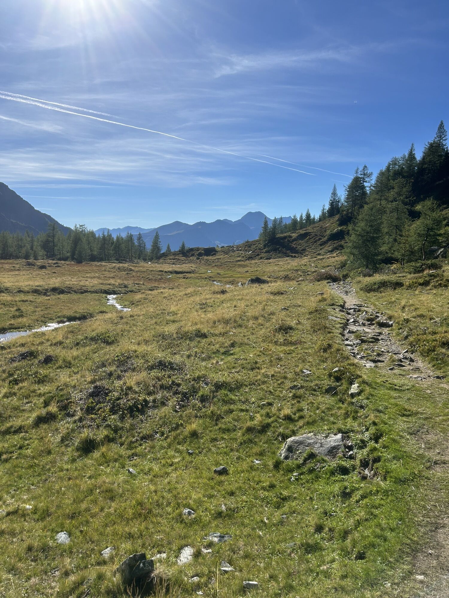
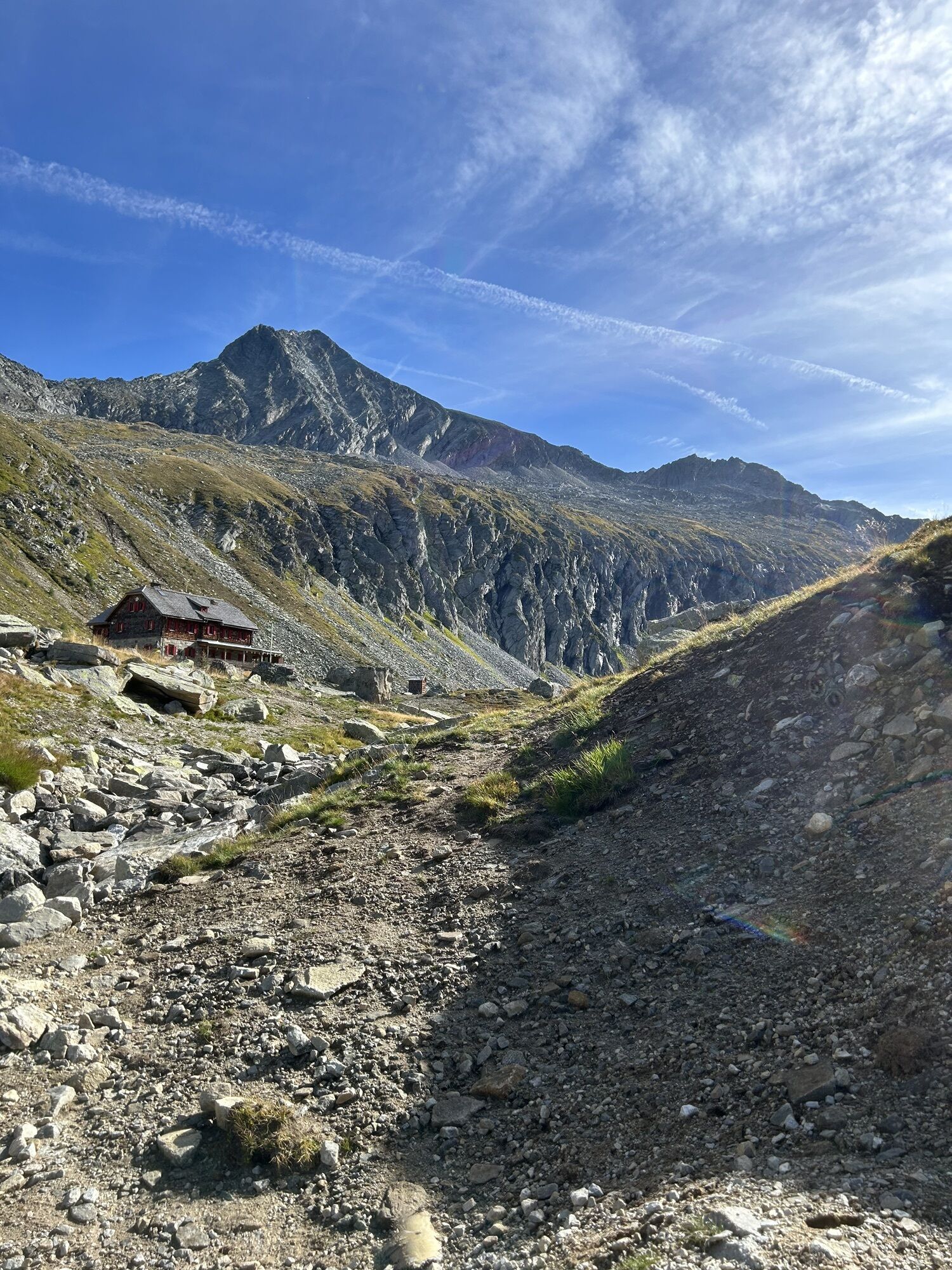
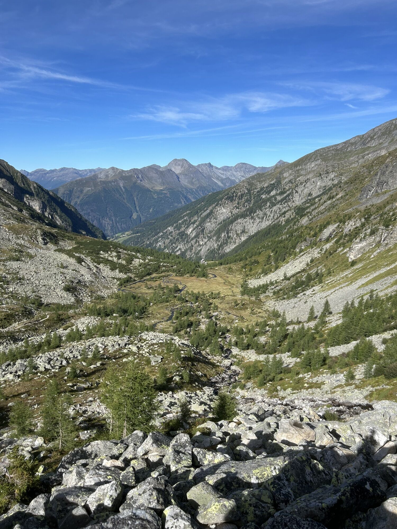
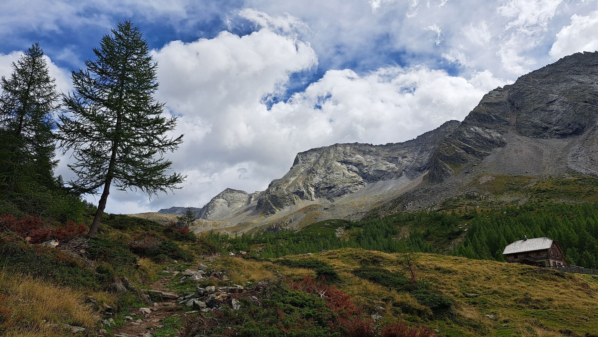
The first part of the ascent leads from Mallnitz at the foot of the Auernig to the Wolligger Hut, then briefly downhill to the national park parking lot Dösental.
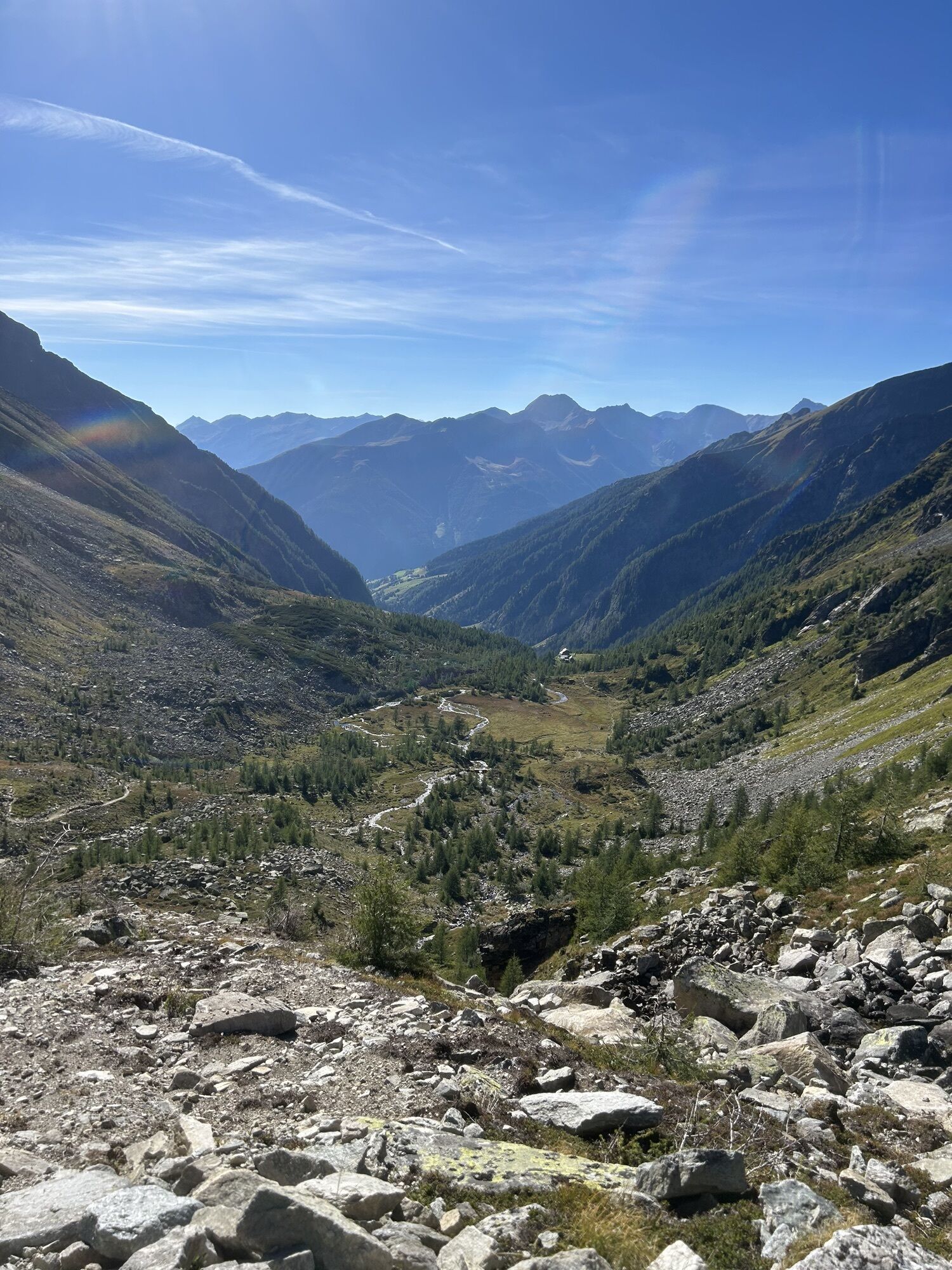
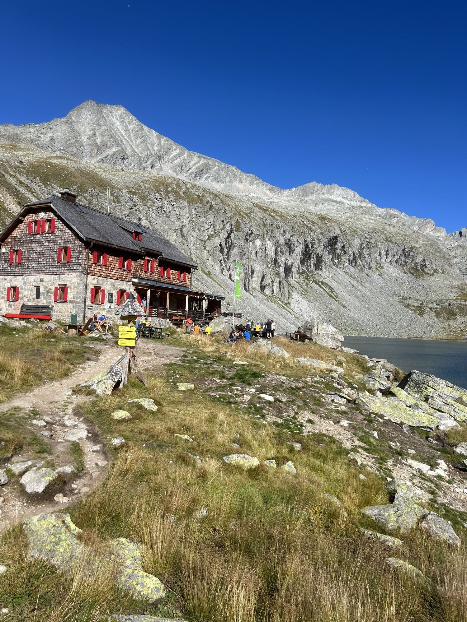
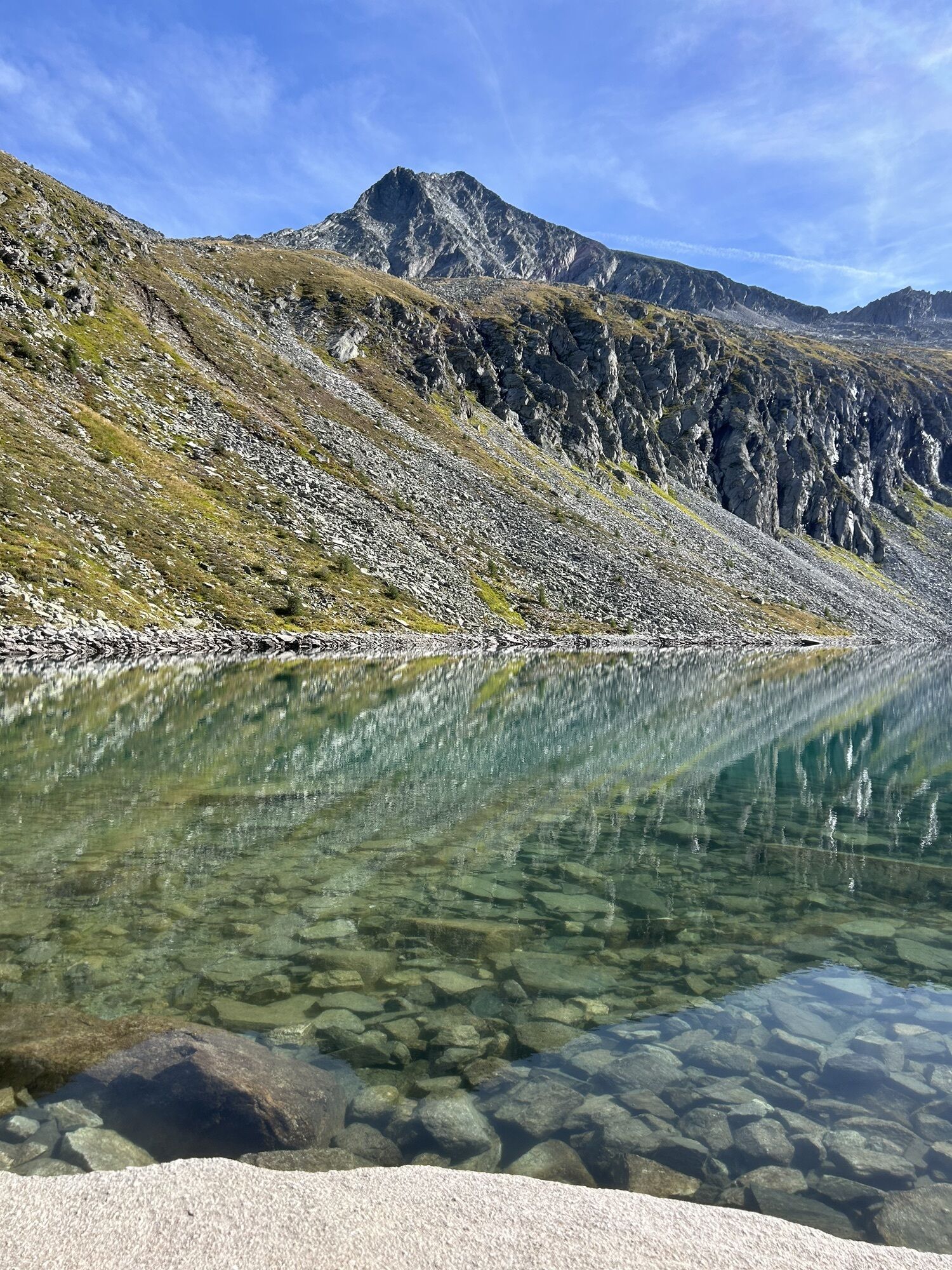
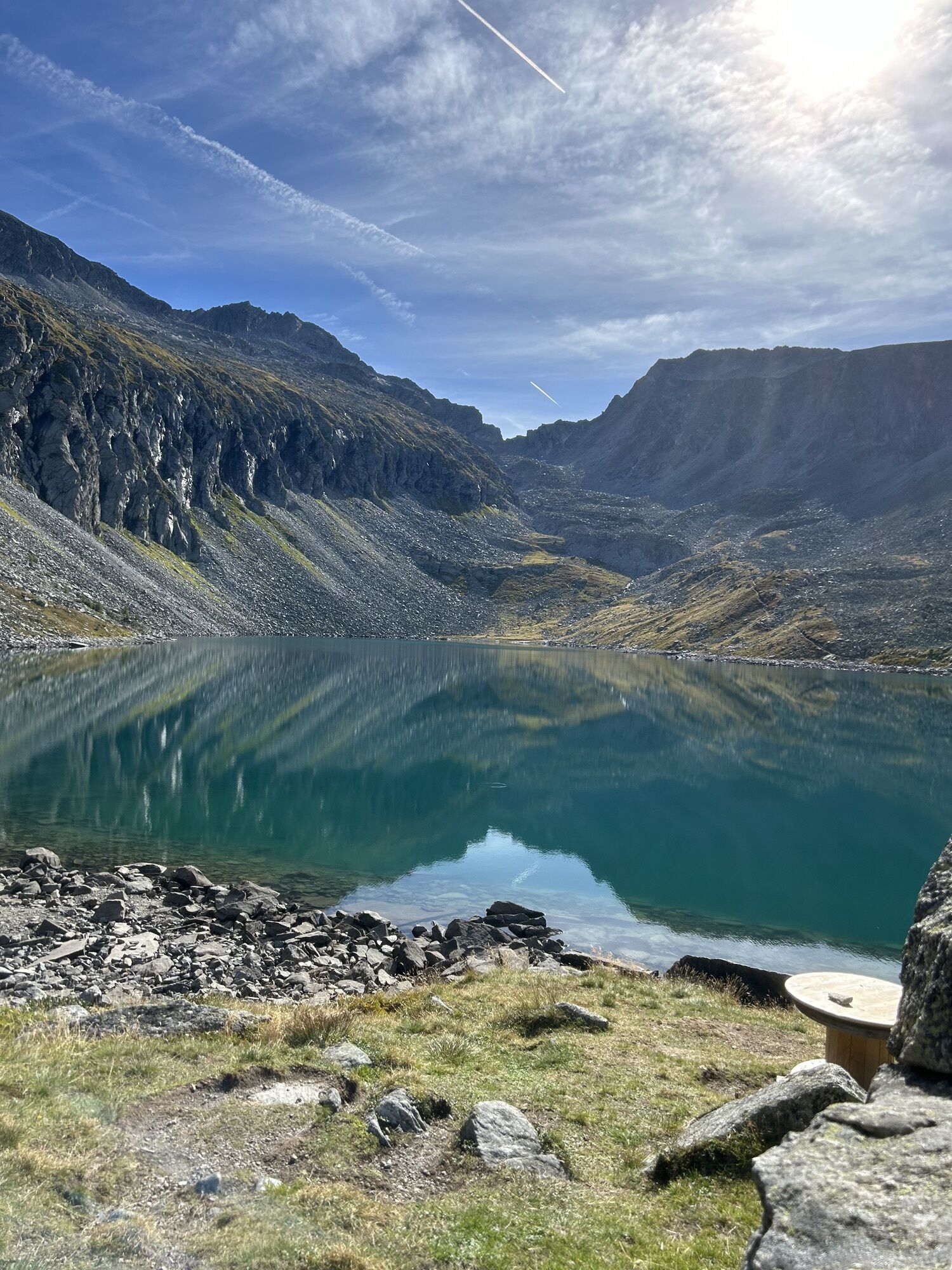
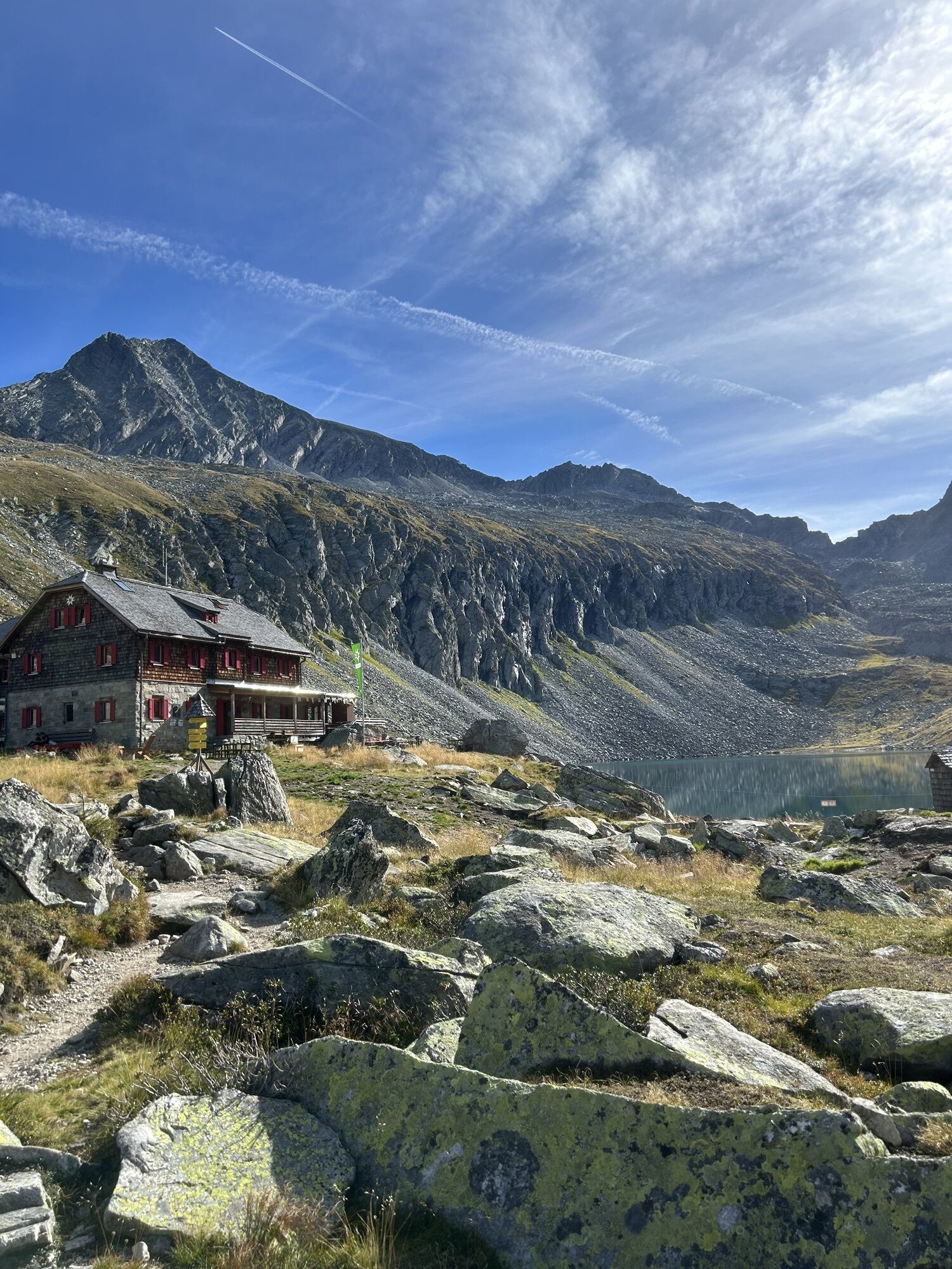
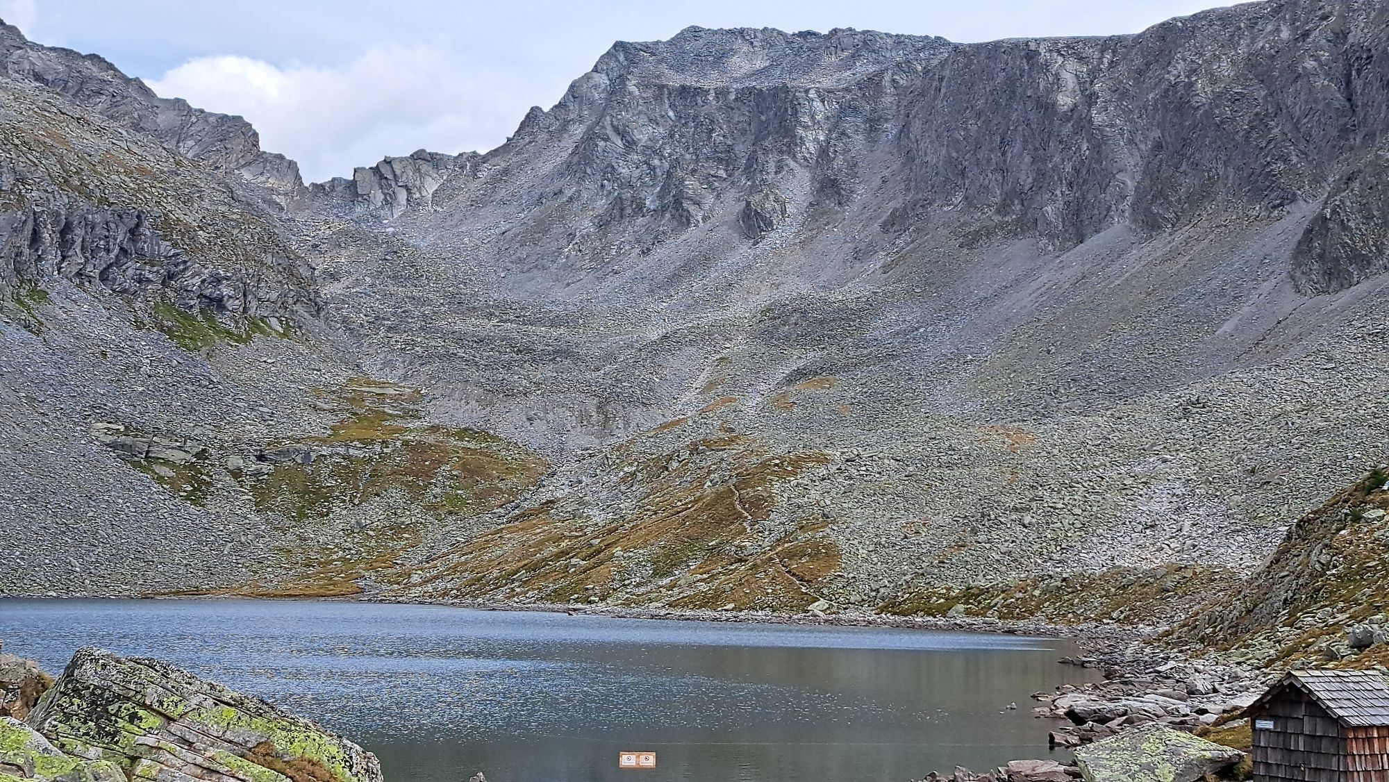
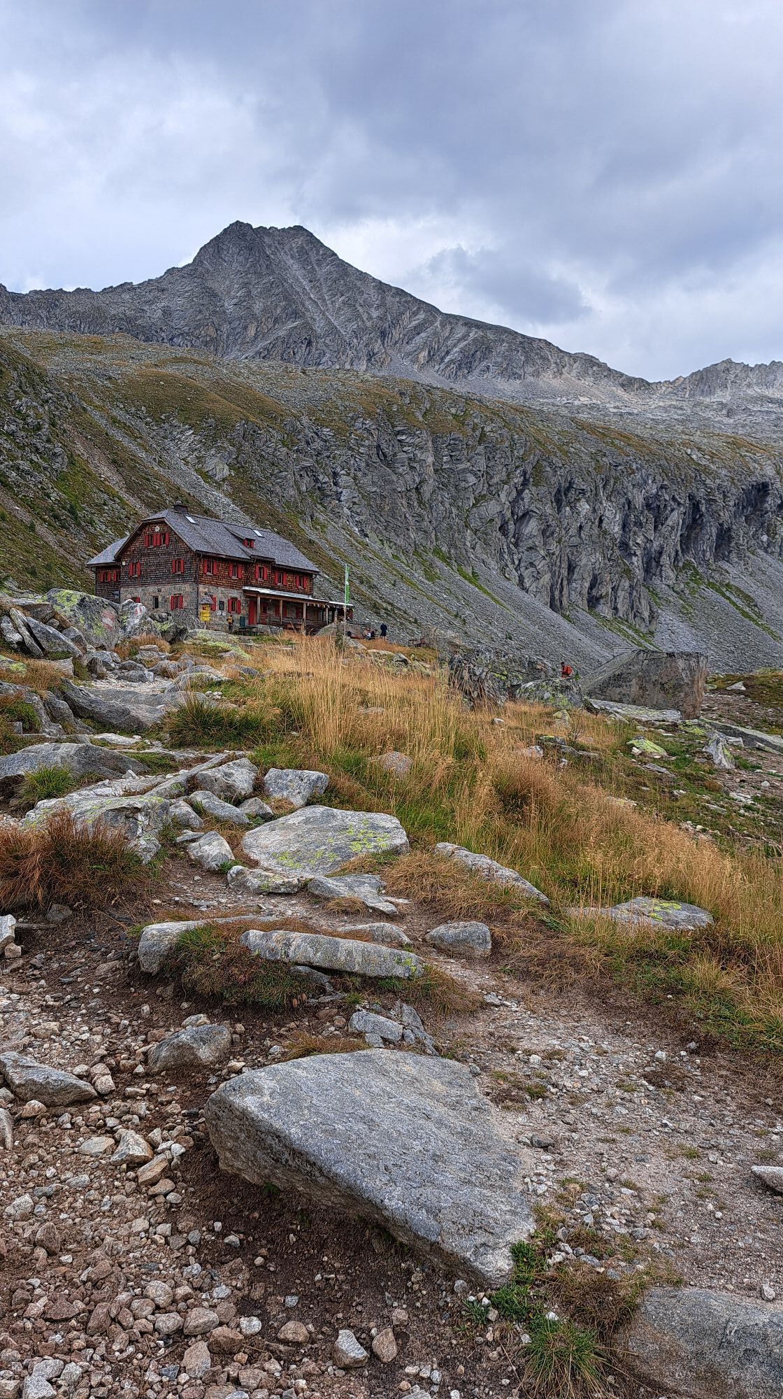
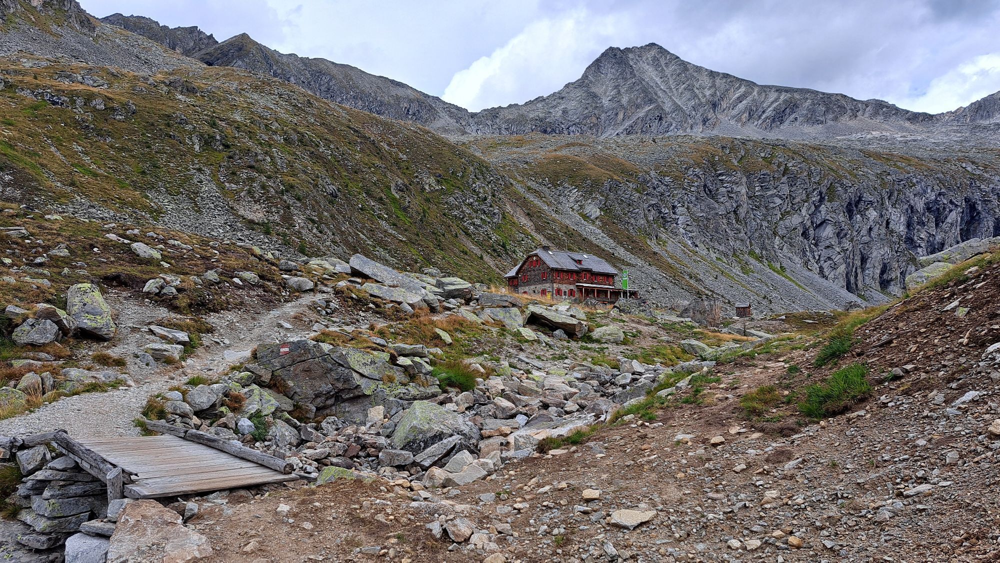
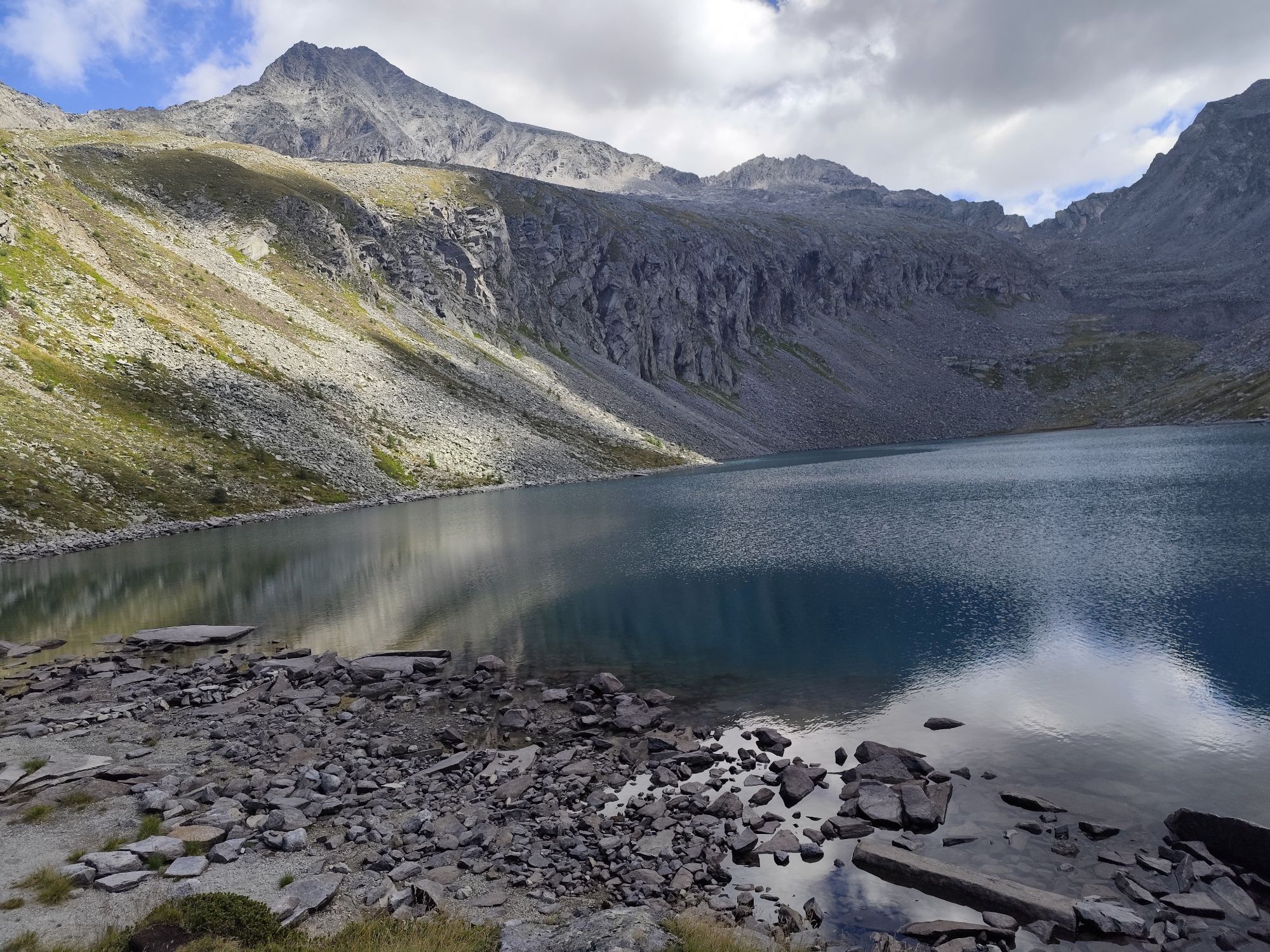
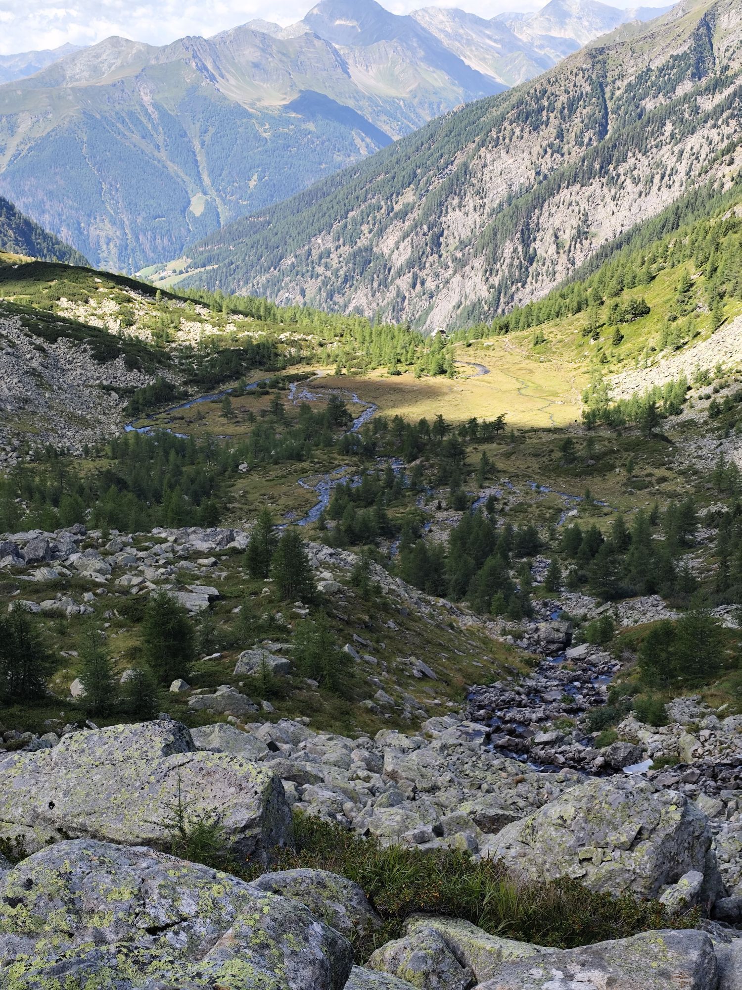
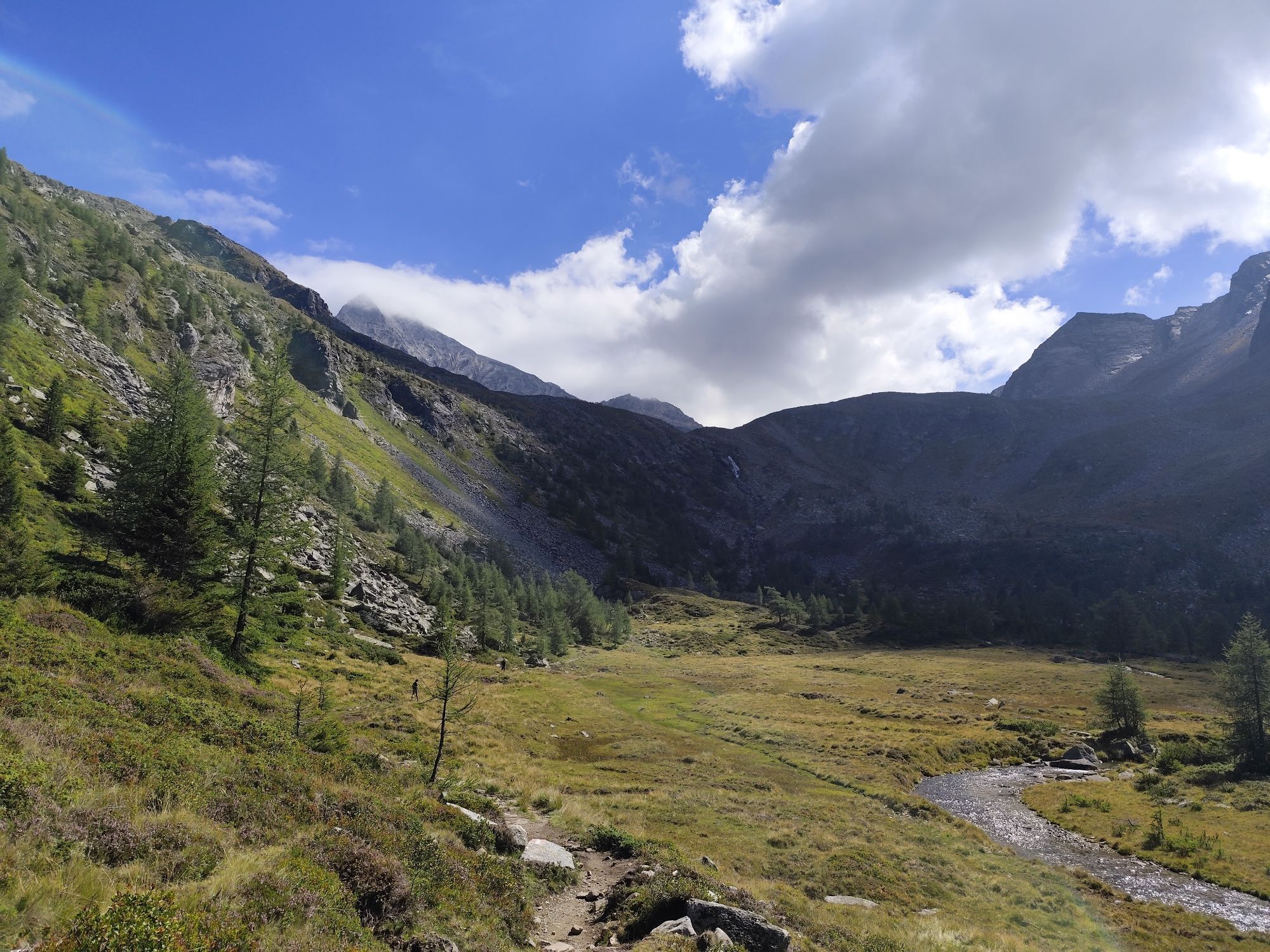
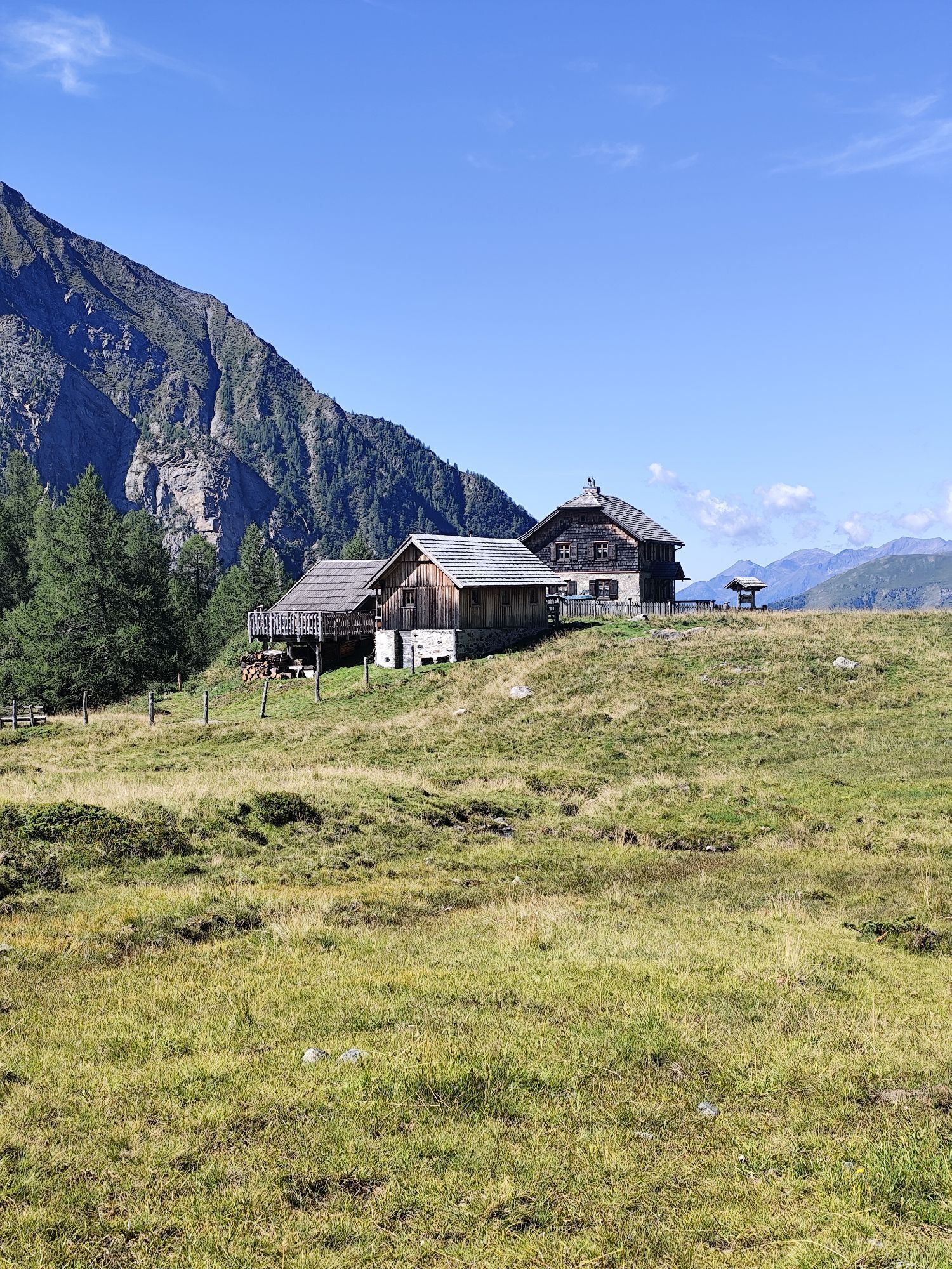
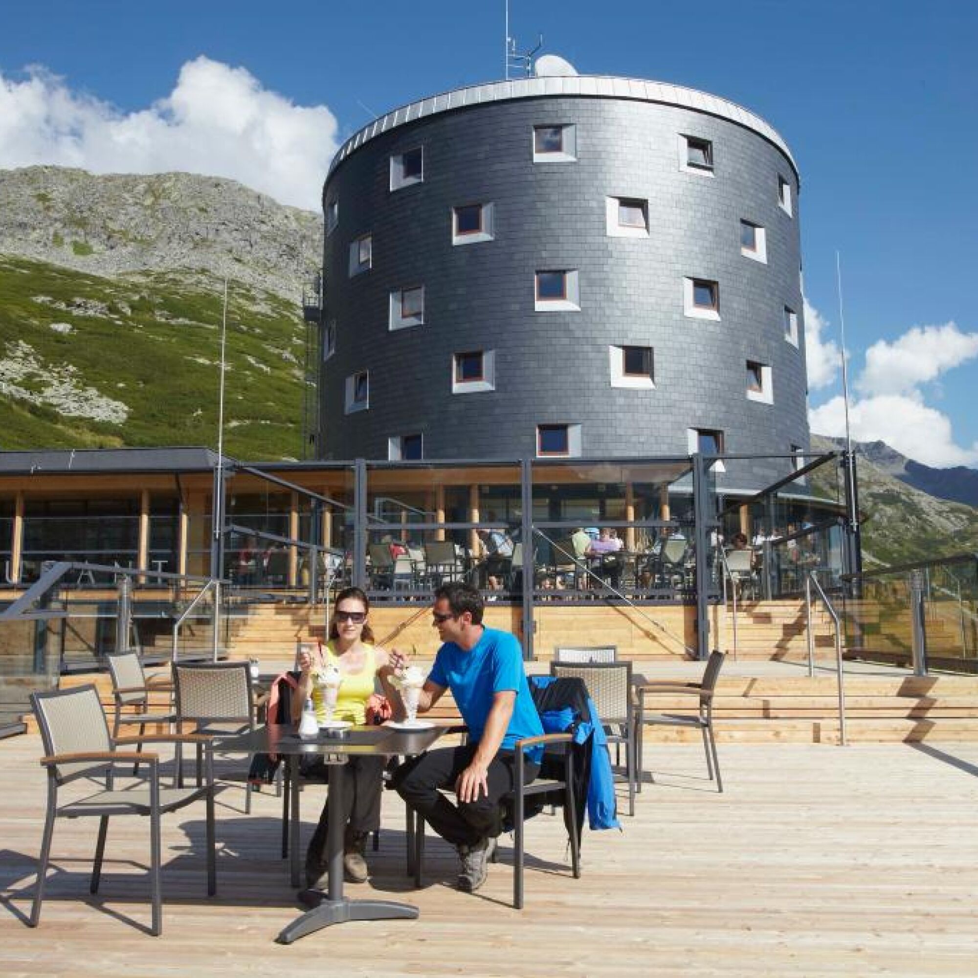
From here, continue through the extremely scenic Dösental to the picturesque daily goal located at the Dösener See, the Arthur-von-Schmidhaus. Fit hikers could add the summit tour to the Säuleck (3,086 m) - although this is also possible the next day!
Walking time: approx. 2 hours to the national park parking lot Dösental, from there approx. 3 hours to the hut
Day 2:
Arthur-von-Schmidhaus – Mallnitzer Scharte - Gießener Hut - Gößkarspeicher
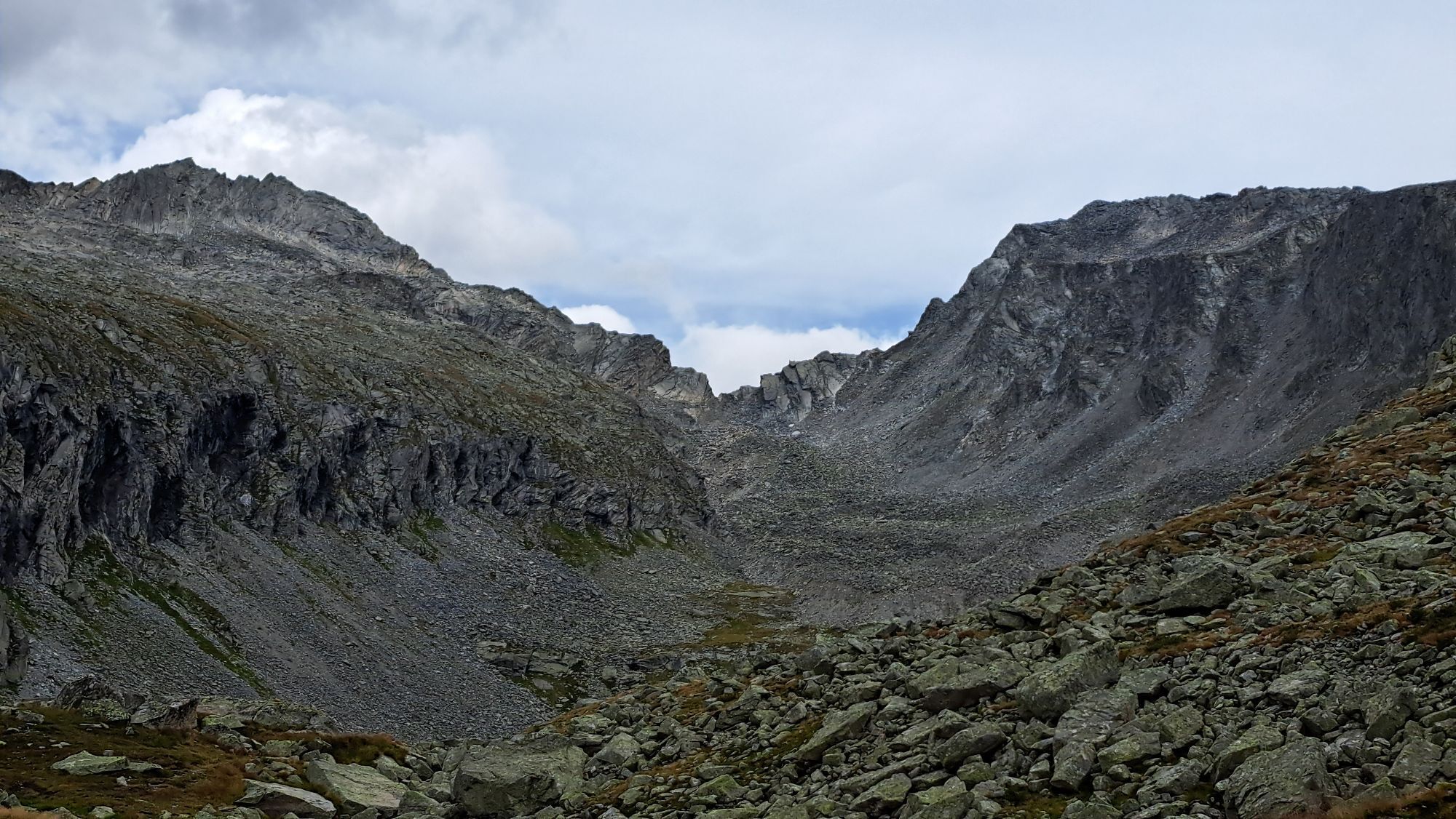
The next day leads the mountain hiker past the Säuleck to the south side of the Hochalmspitze. Via the Dösener block glacier, the Mallnitzer Scharte is reached. The descent from the Mallnitzer Scharte leads first over a short rope-secured section and then over a snowfield (caution! Ice axe recommended on frozen snow!), finally uncomplicated to the Gießener Hut. From here, it is best to call a taxi for the return trip - poor mobile reception in the Gößgraben area! (Taxi Sonnalm Reisen: +43 (0) 664/3257530) Descent to the Gößkarspeicher on the forest road or shortcuts.
Walking time: 5 – 6 hours
With an extra effort of about 2 - 2.5 hours, the Säuleck (3,086) can also be "included" - worthwhile with appropriate fitness, mountain experience and surefootedness!
The footpath through the long Gößgraben to the Maltatal is of course possible but not recommended.
Day 3:
Guesthouse Falleralm - Berghotel Malta***s
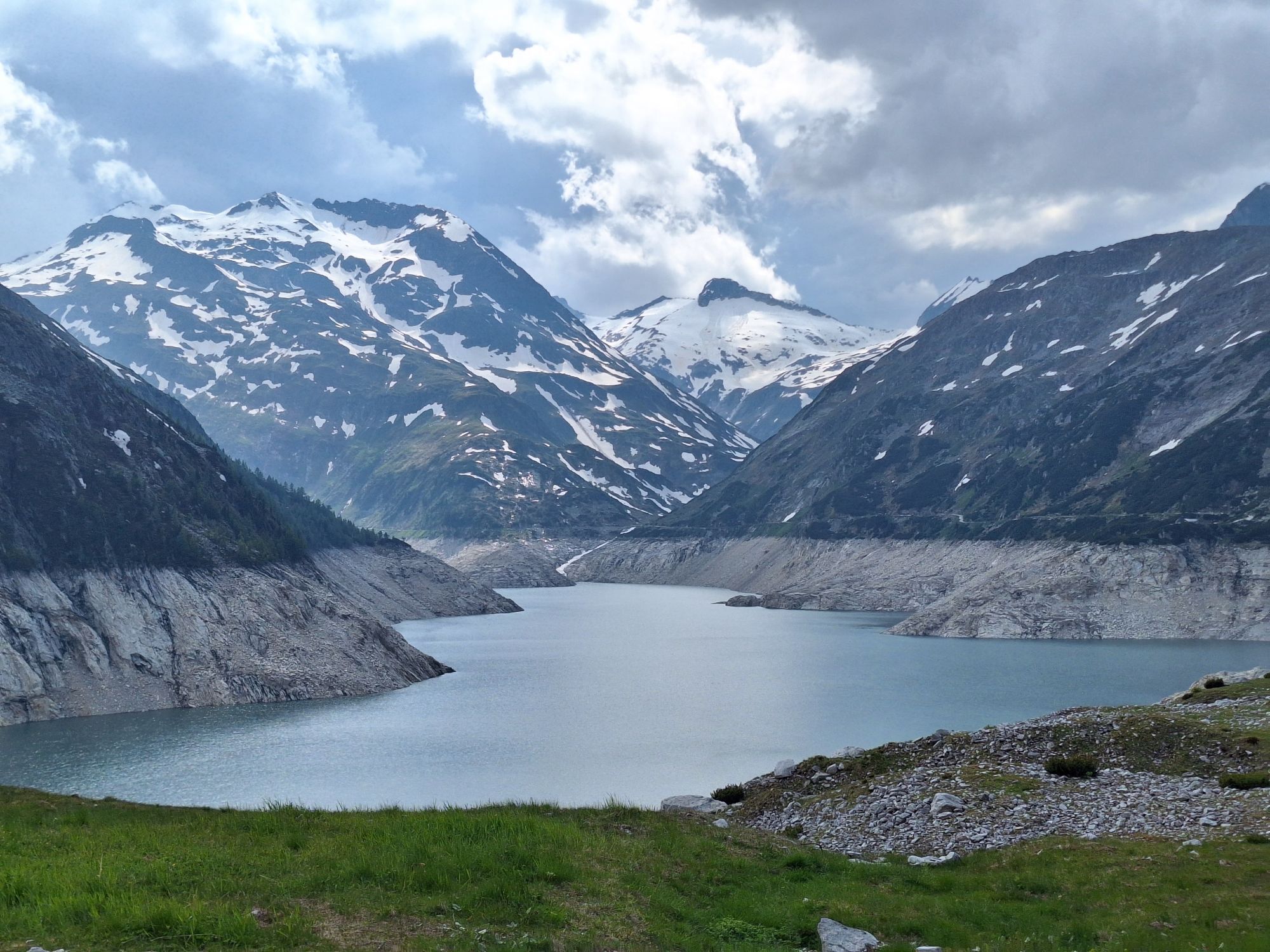
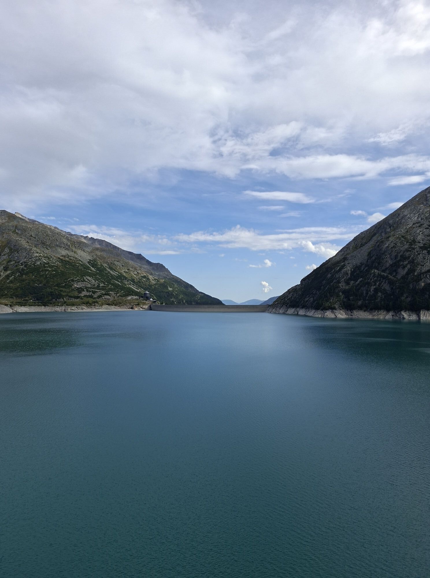
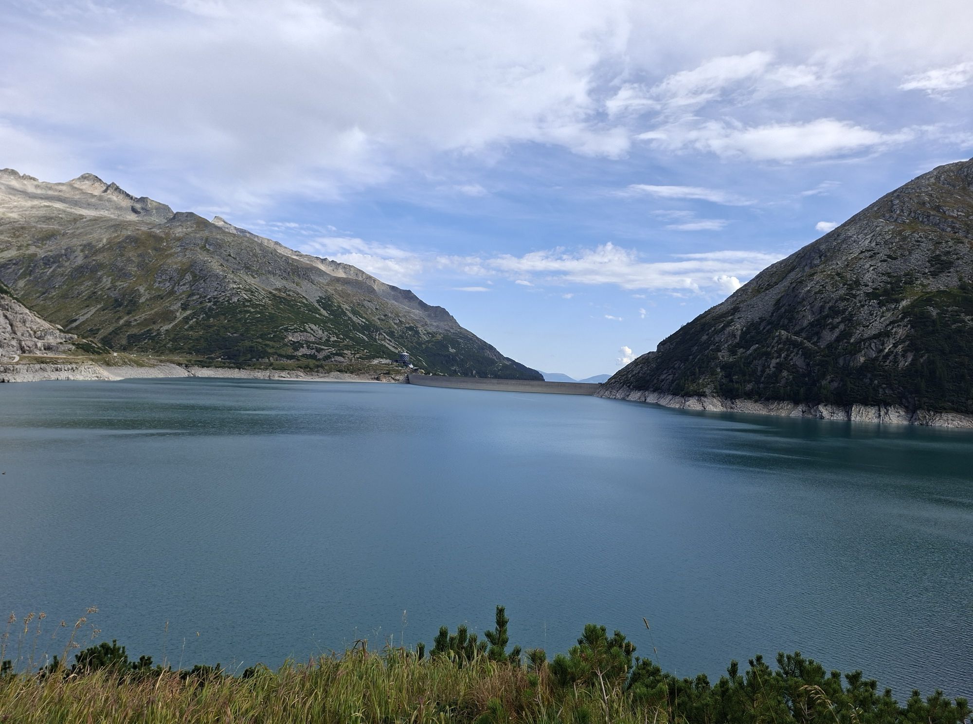
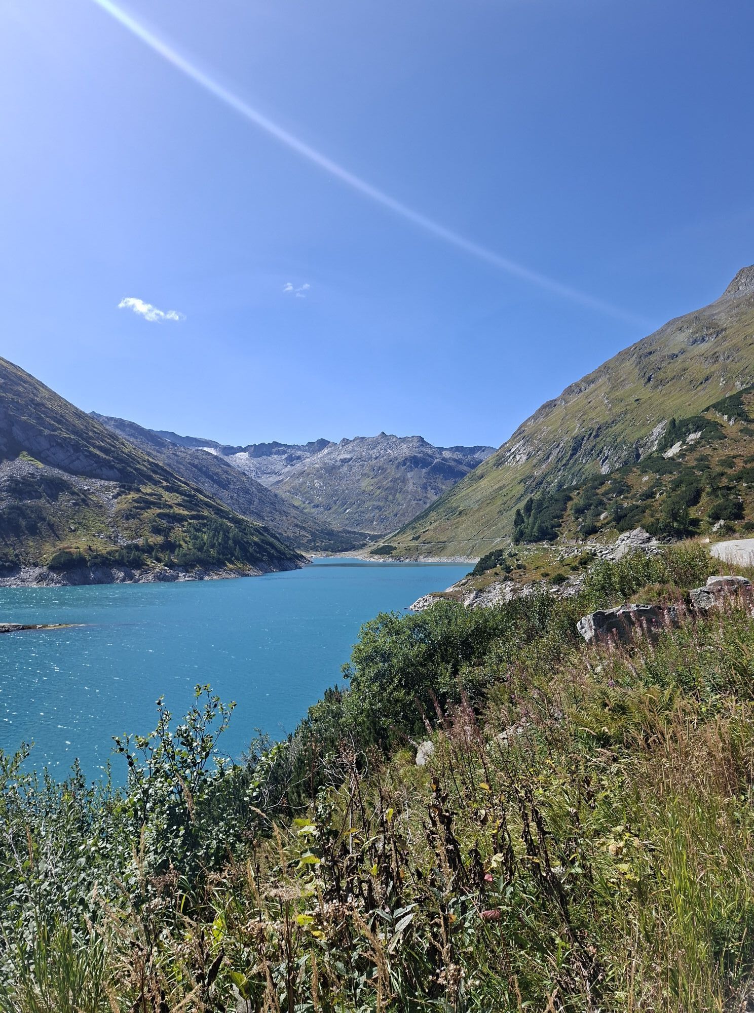
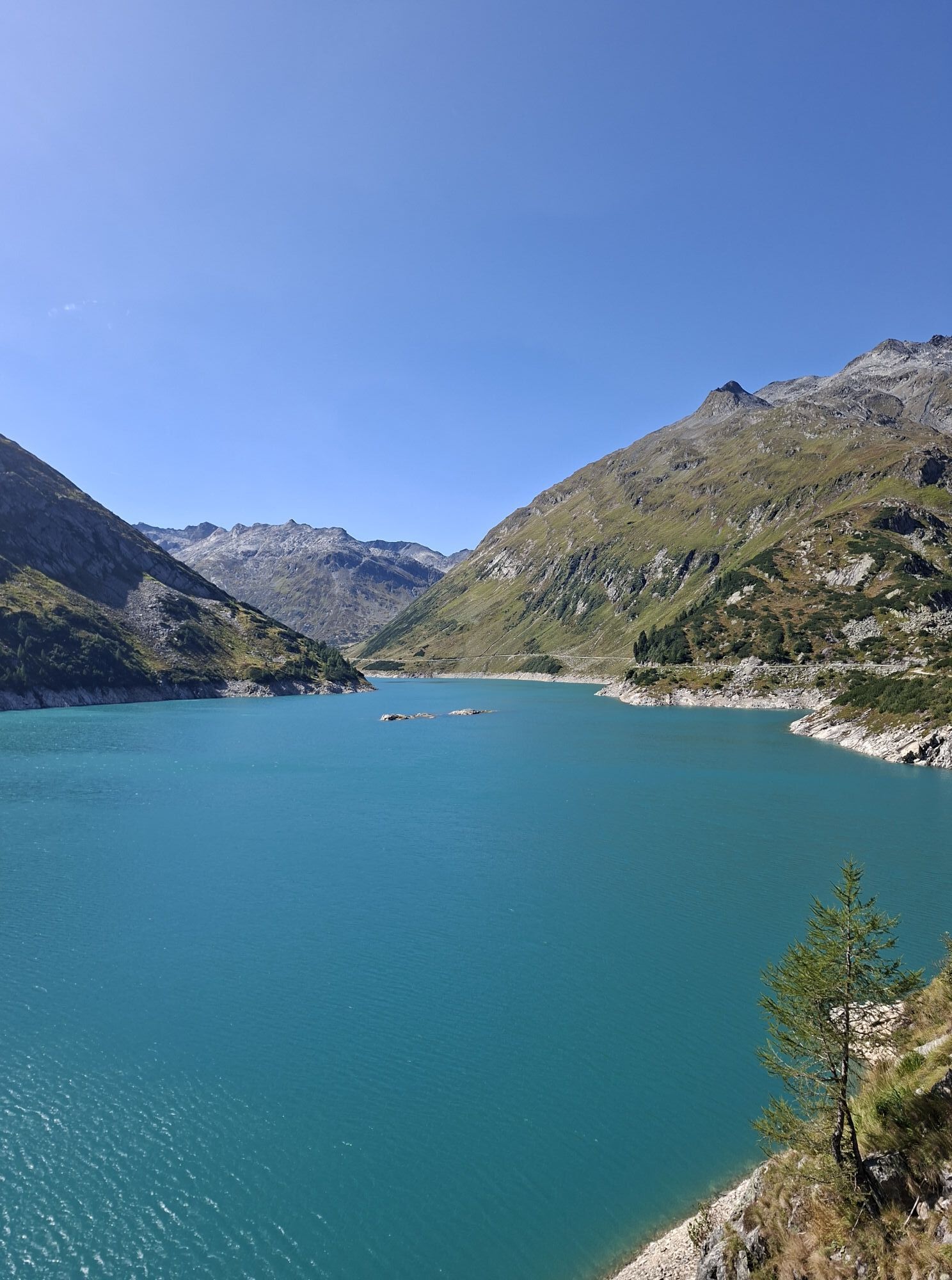
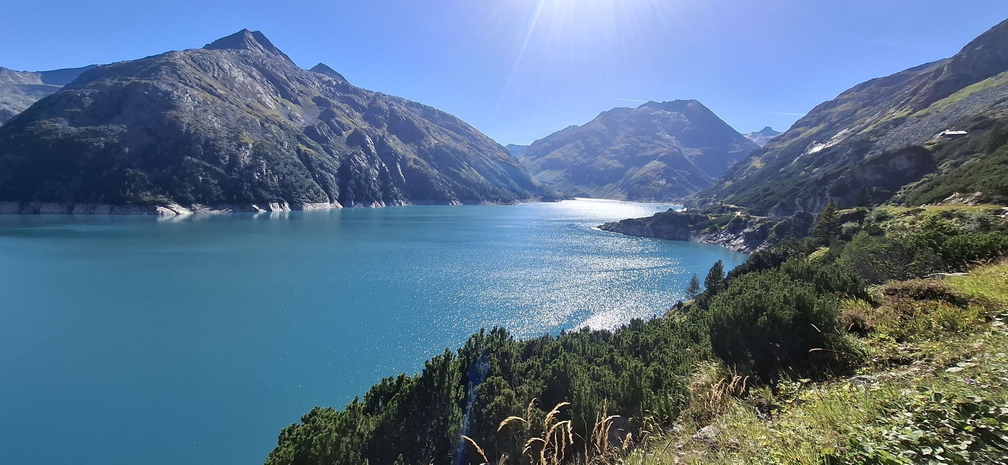
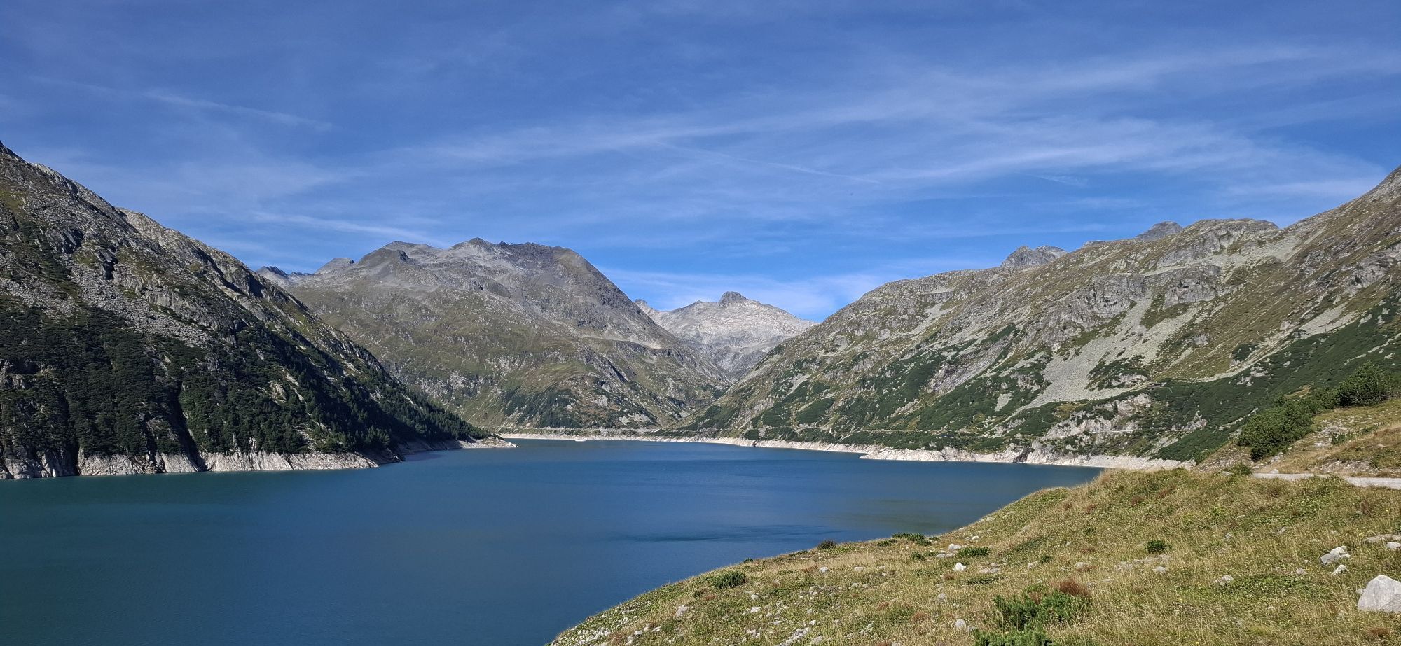
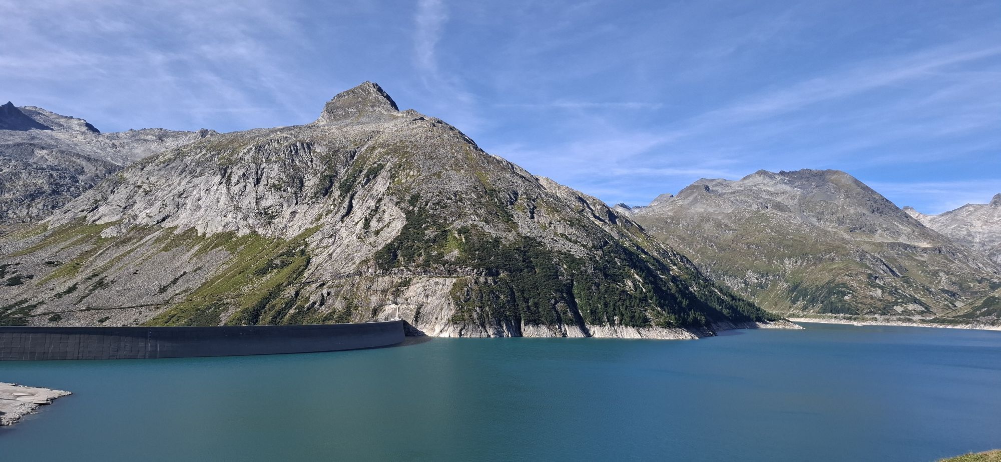
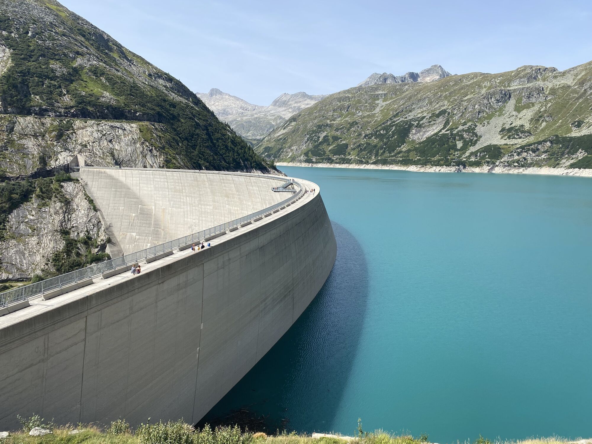
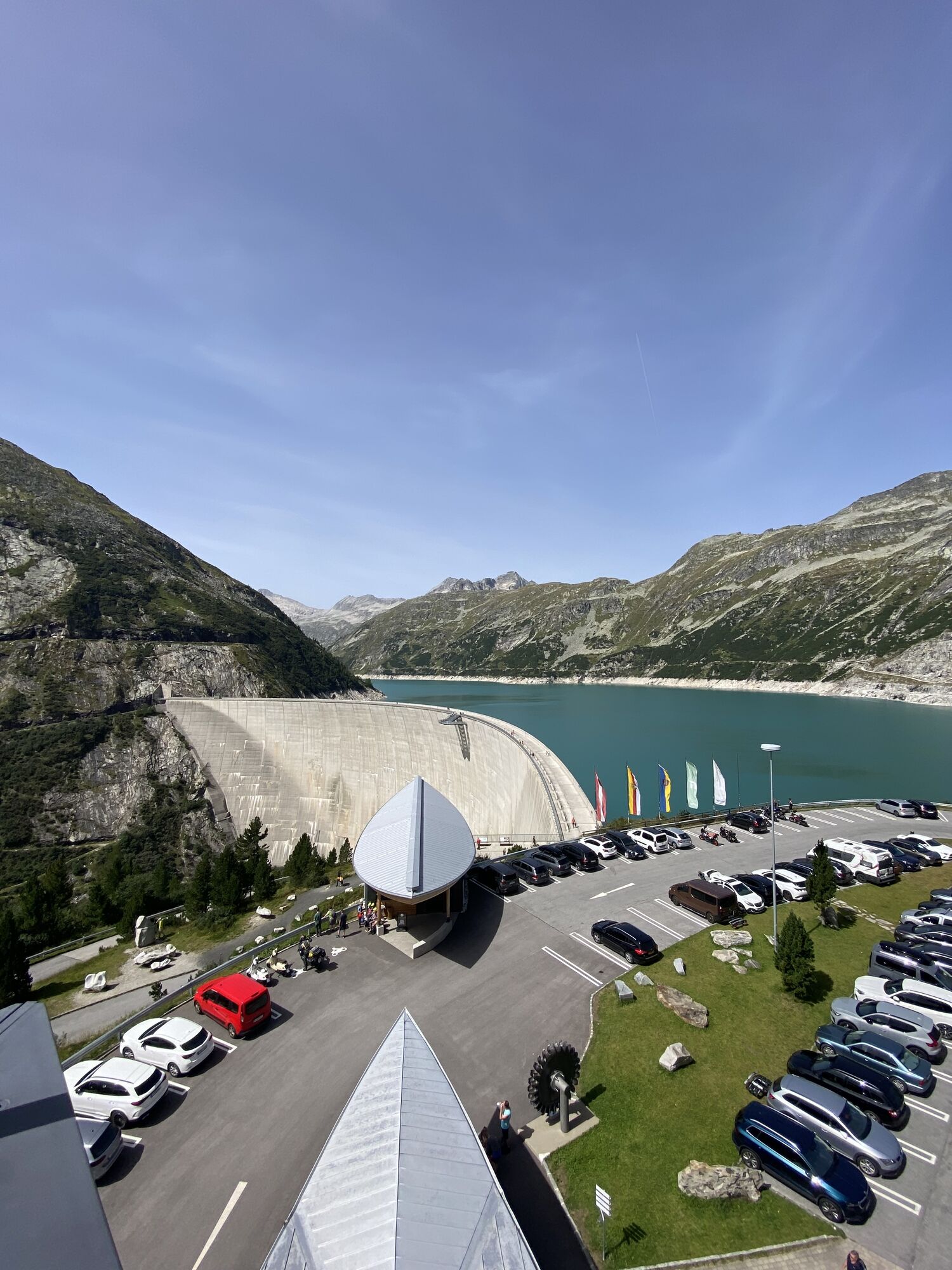
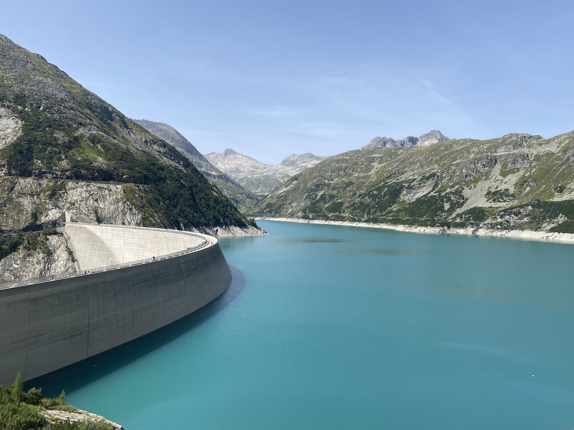
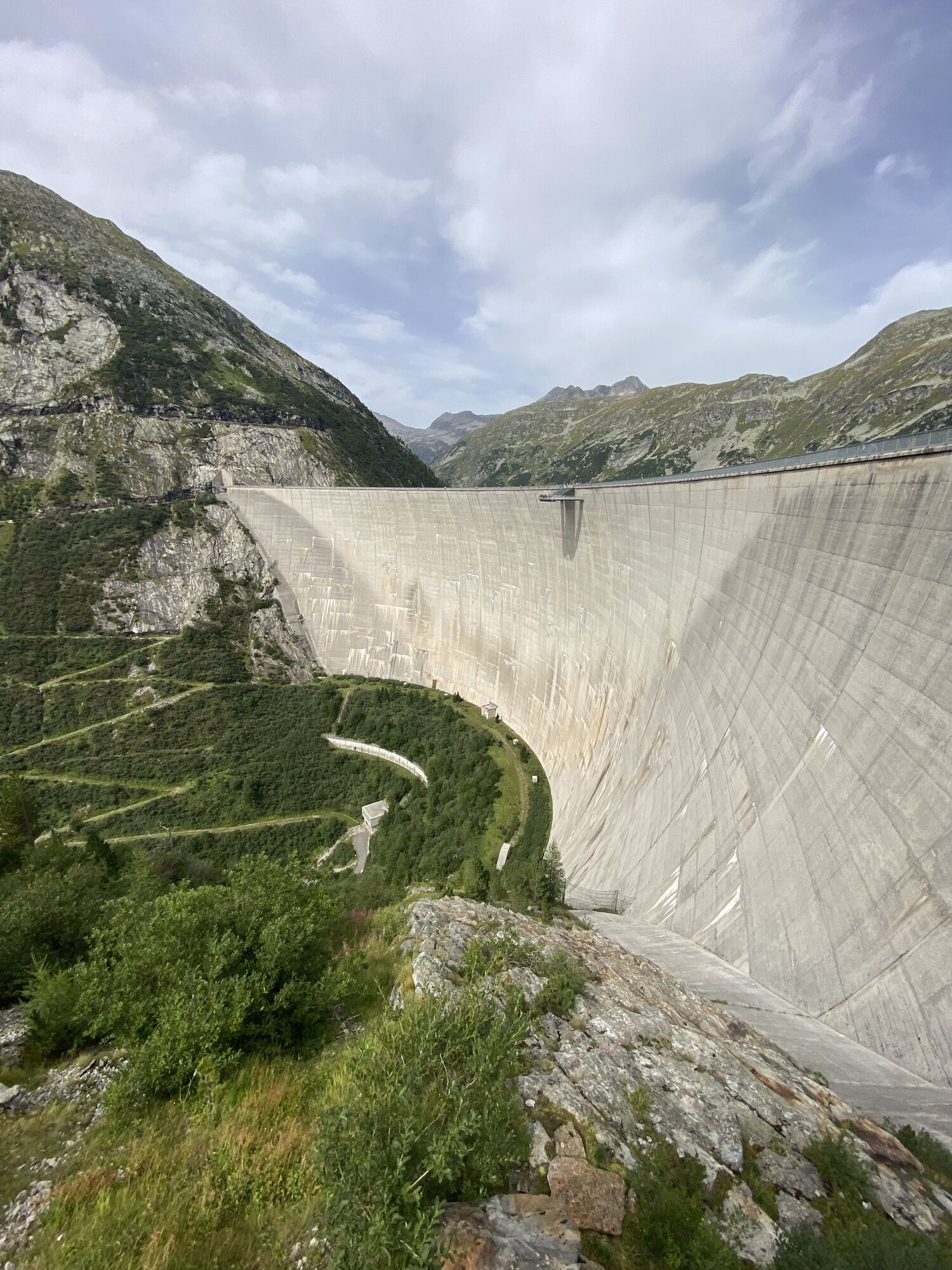
The route starts at the toll station of the Maltatal-Hochalm road or near the guesthouse Falleralm. First, the picturesque "Malteiner Waterworks" are crossed and the Gmündner Hut reached. The route climbs partially steeply past the Almrausch guesthouse to the Berghotel Malta***s (1,933m) on the shore of Austria's largest reservoir. Impressive here is the first view of the surrounding mountain world and the Kölnbrein dam.
Walking time: approx. 4.5 - 6 hours
Day 4:
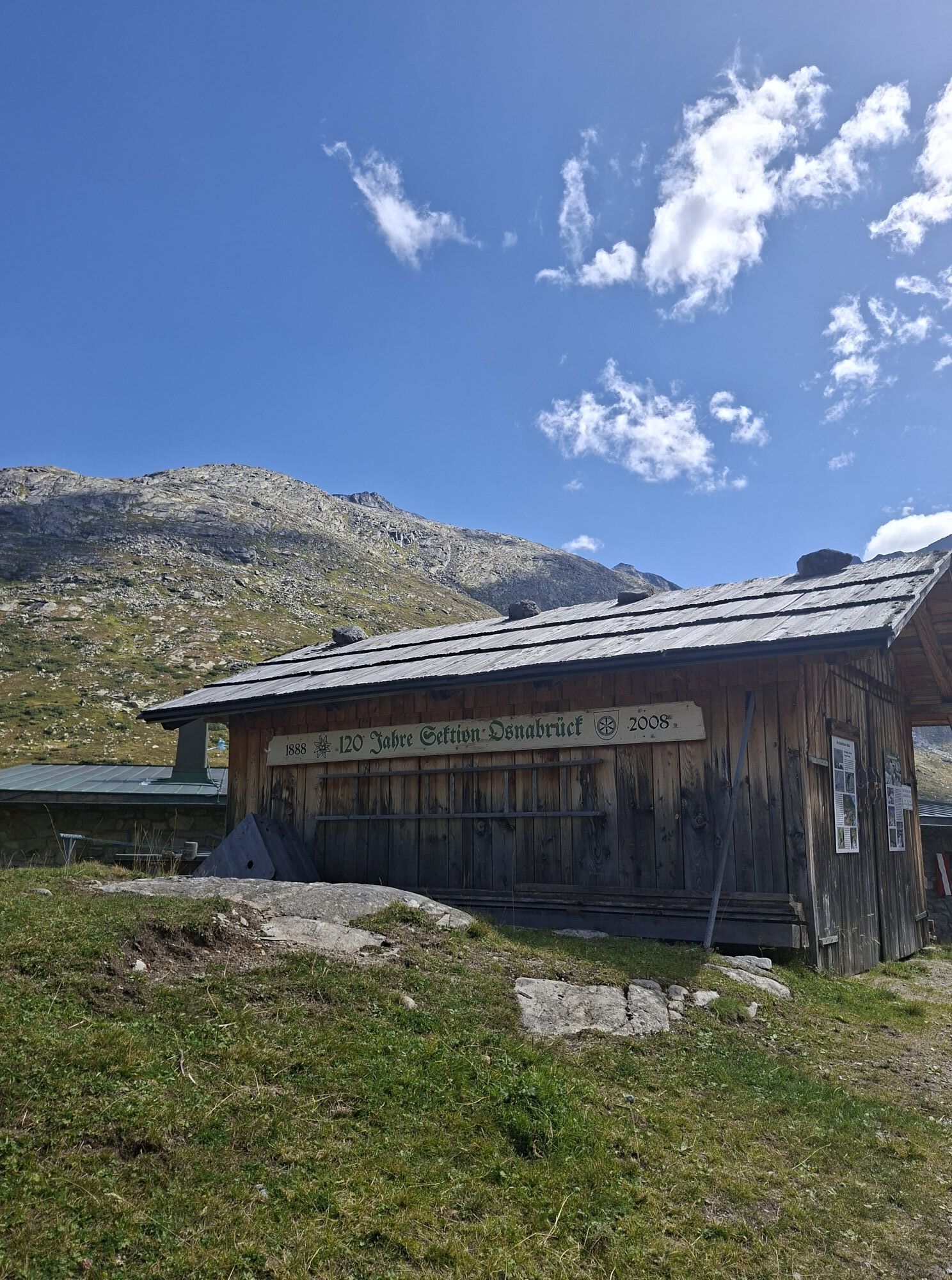
Berghotel Malta***s - Osnabrücker Hut
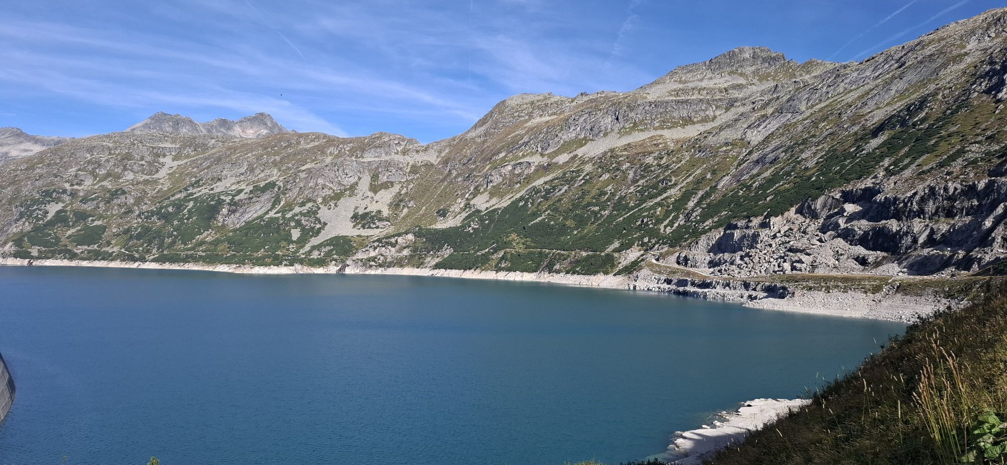
From Berghotel Malta***s, the path leads along the reservoir to the junction to Kleinelendtal.
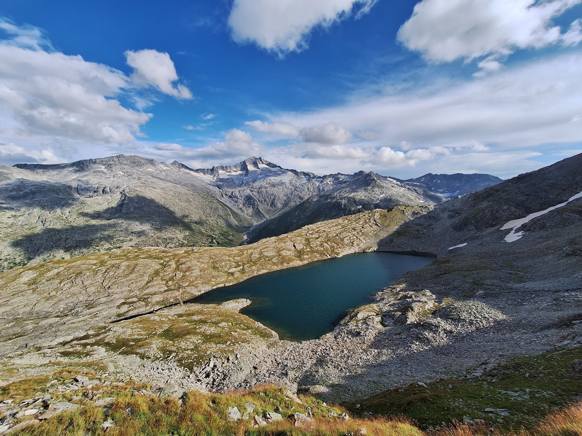
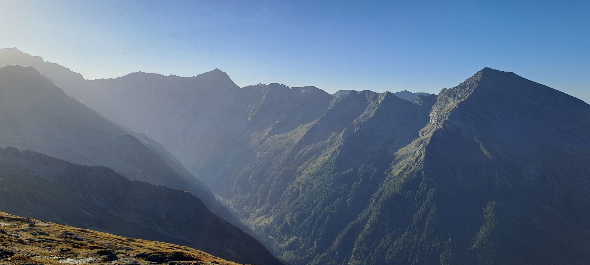
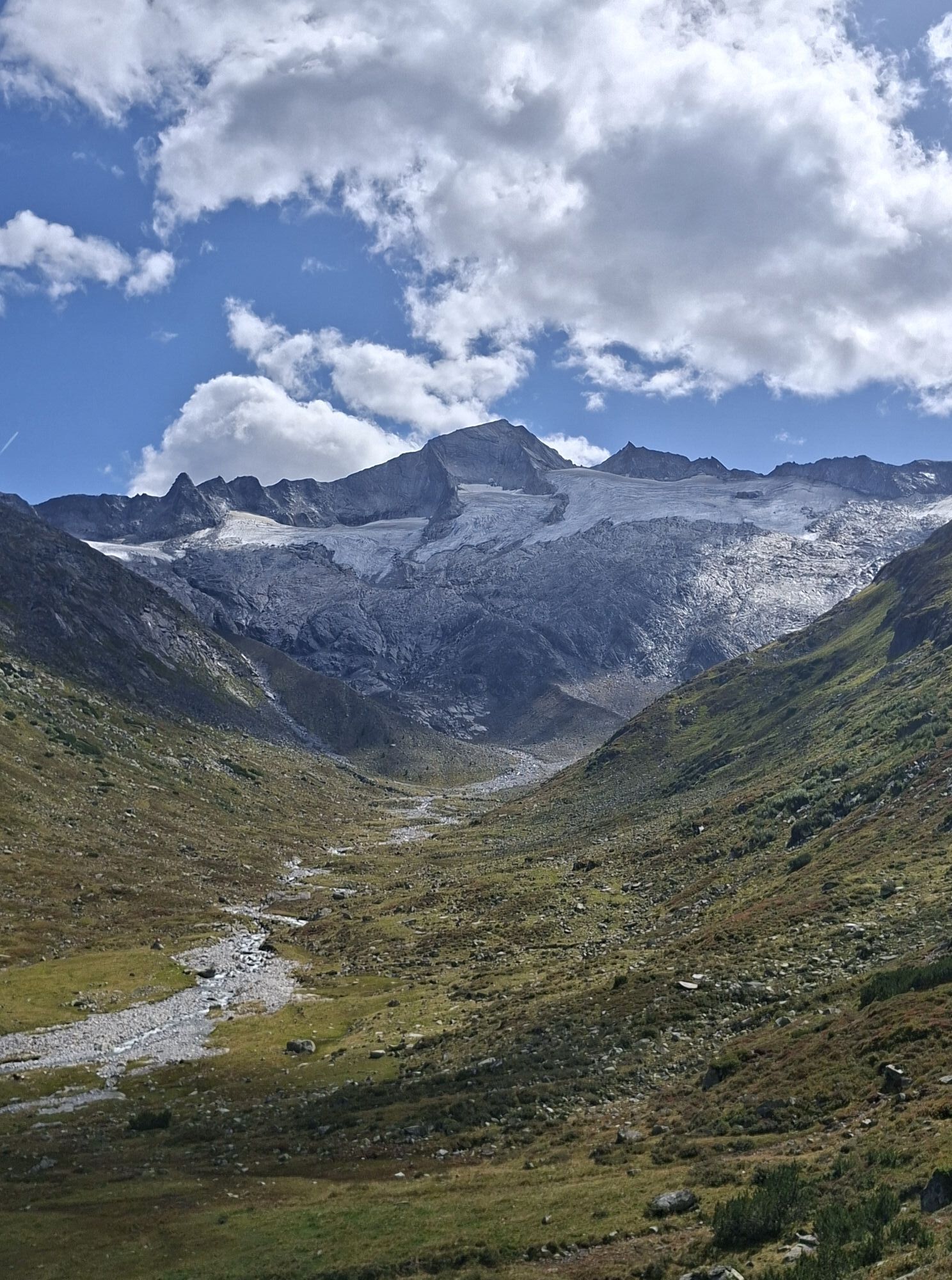
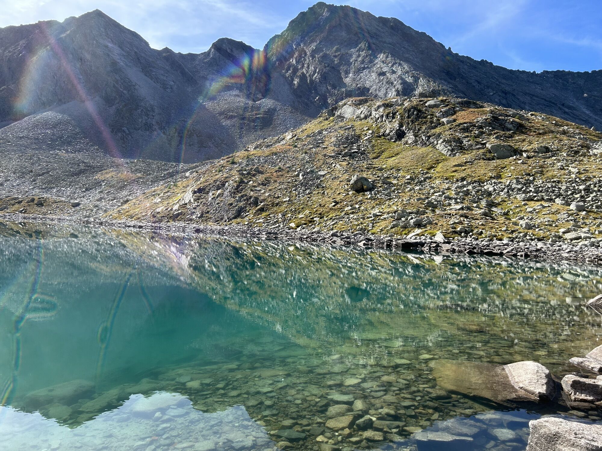
From here, the daily goal, the Osnabrücker Hut, can be reached comfortably in about 1 hour. However, we recommend the "detour" through the wildly romantic Kleinelendtal and the Zwischenelendscharte! The view from the Schwarzhornsee onto the Hochalmspitze is overwhelming!
Walking time: approx. 6 - 7 hours. Direct path from the Berghotel to the Osnabrücker Hut (without Kleinelendtal) approx. 2 hours.
Day 5:
Osnabrücker Hut – Großelendscharte – Mallnitz
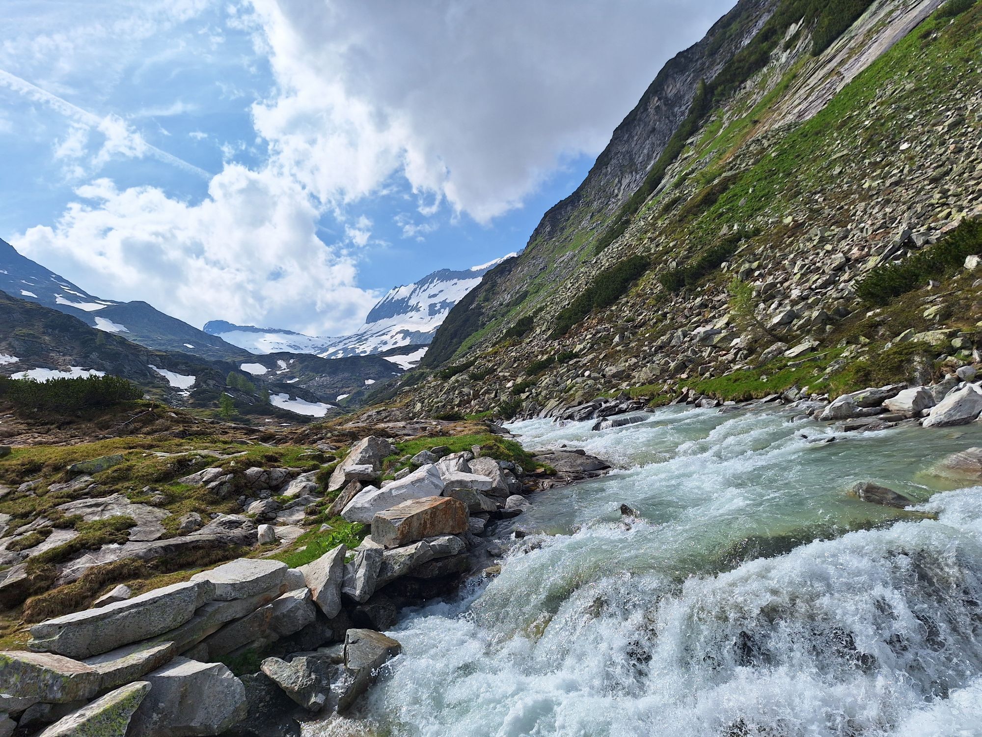
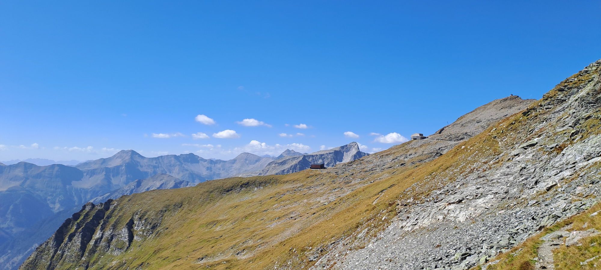
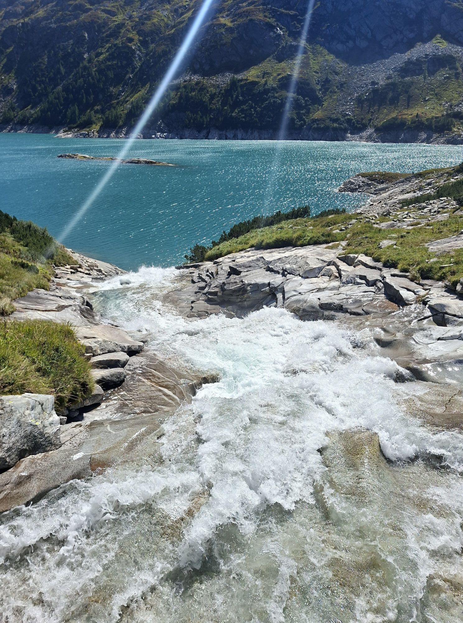
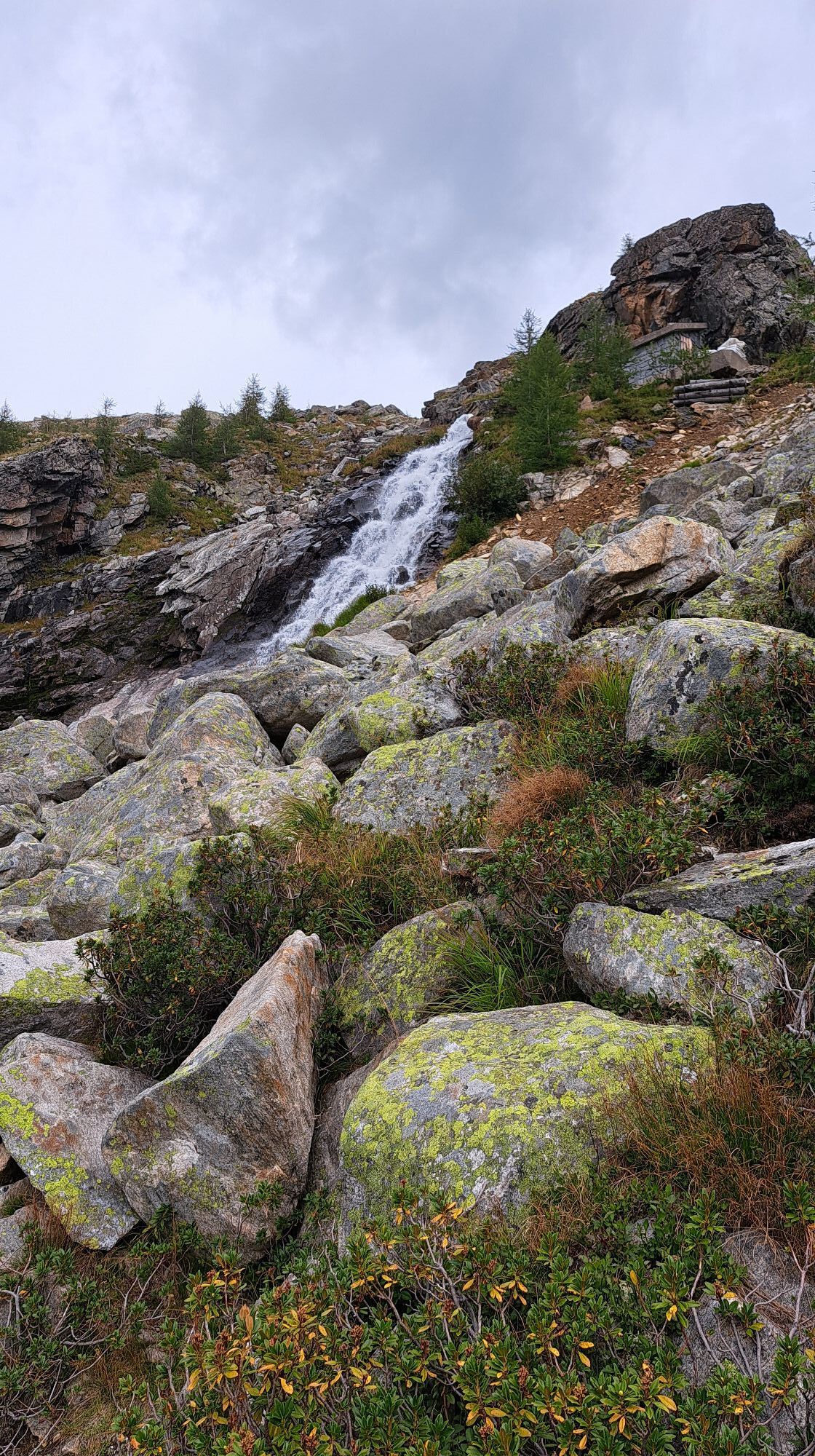
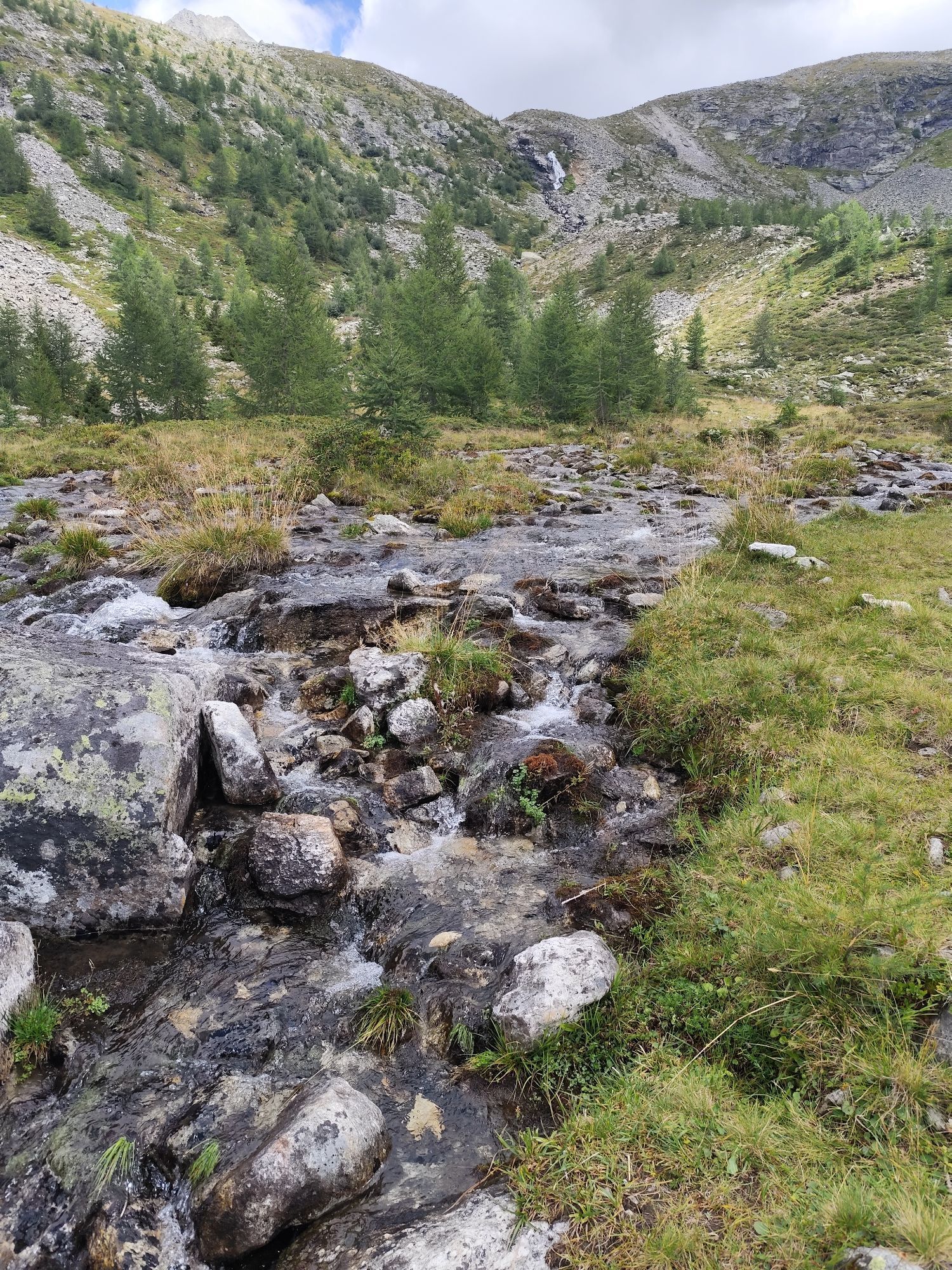
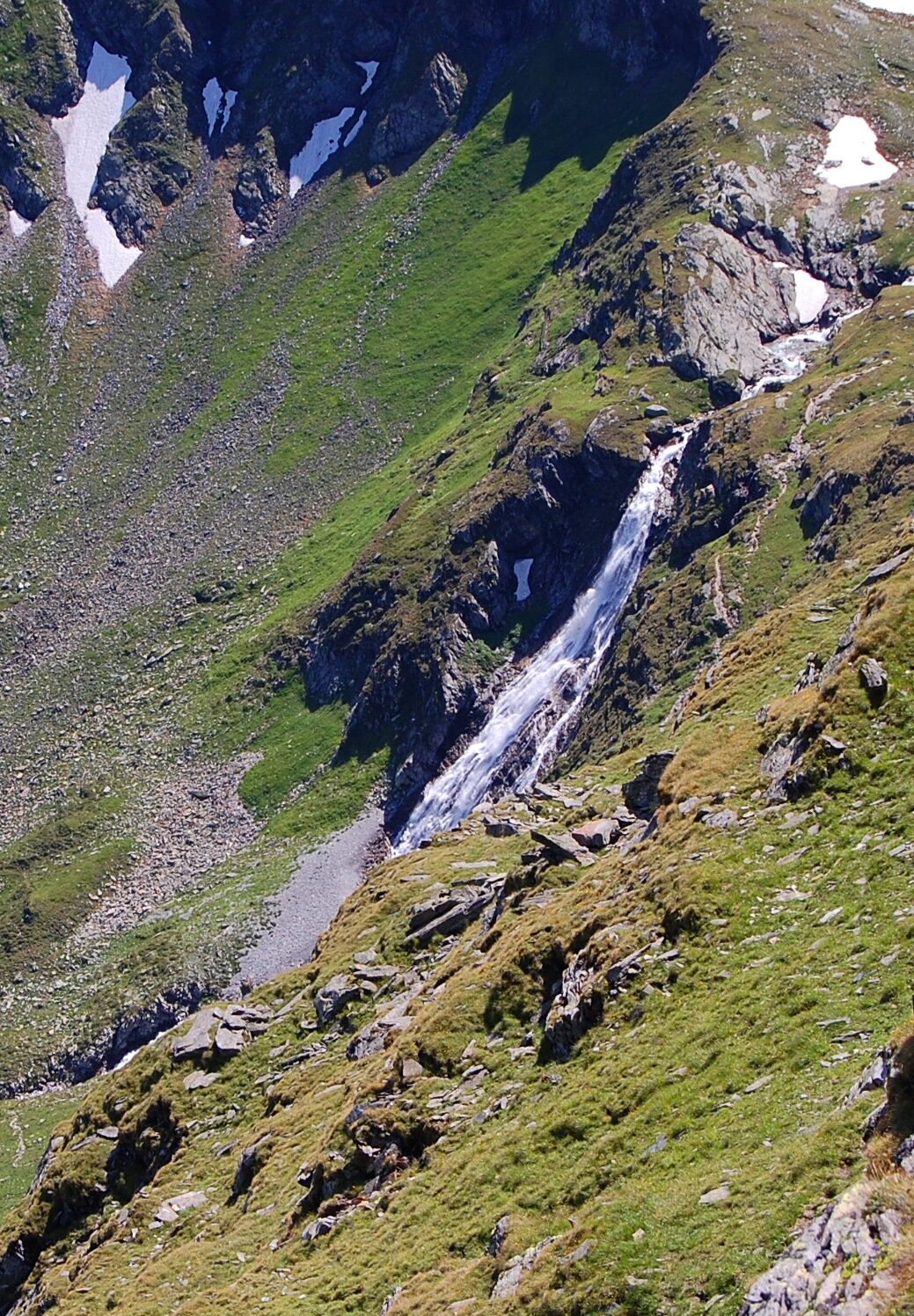
From the Osnabrücker Hut we follow the Tauernhöhenweg 502. Passing the impressive Fallbach waterfall (some secured sections - caution, wet!), the Großelendscharte under the summit structure of the Ankogel (3,250) is reached. From there, 2 options:
1) With slight ups and downs, the mountain station of the Ankogel cable car is reached. A few meters below the mountain station is the Hannoverhaus of the DAV, an innovative hut building in a unique, scenic location. The "descent" to Mallnitz can be managed knee-friendly with the Ankogel cable car.
2) It is also possible to descend on foot to Mallnitz: Either in the area of the Ankogel cable car via the marked paths No. 518 and 517 or - more scenic - to the Schwußner Hut in the Seebachtal: For this, soon after the Großelendscharte, the Tauernhöhenweg 502 is left to the left, the "Celler Weg" is followed briefly, and finally via path 528 in many switchbacks the valley floor near the Schwußner Hut is reached. From there approx. 1 hour to the valley station of the Ankogel cable car.
Walking time: approx. 4 - 5 hours to the mountain station Ankogel cable car, further approx. 3 hours for descent on foot.
Ano
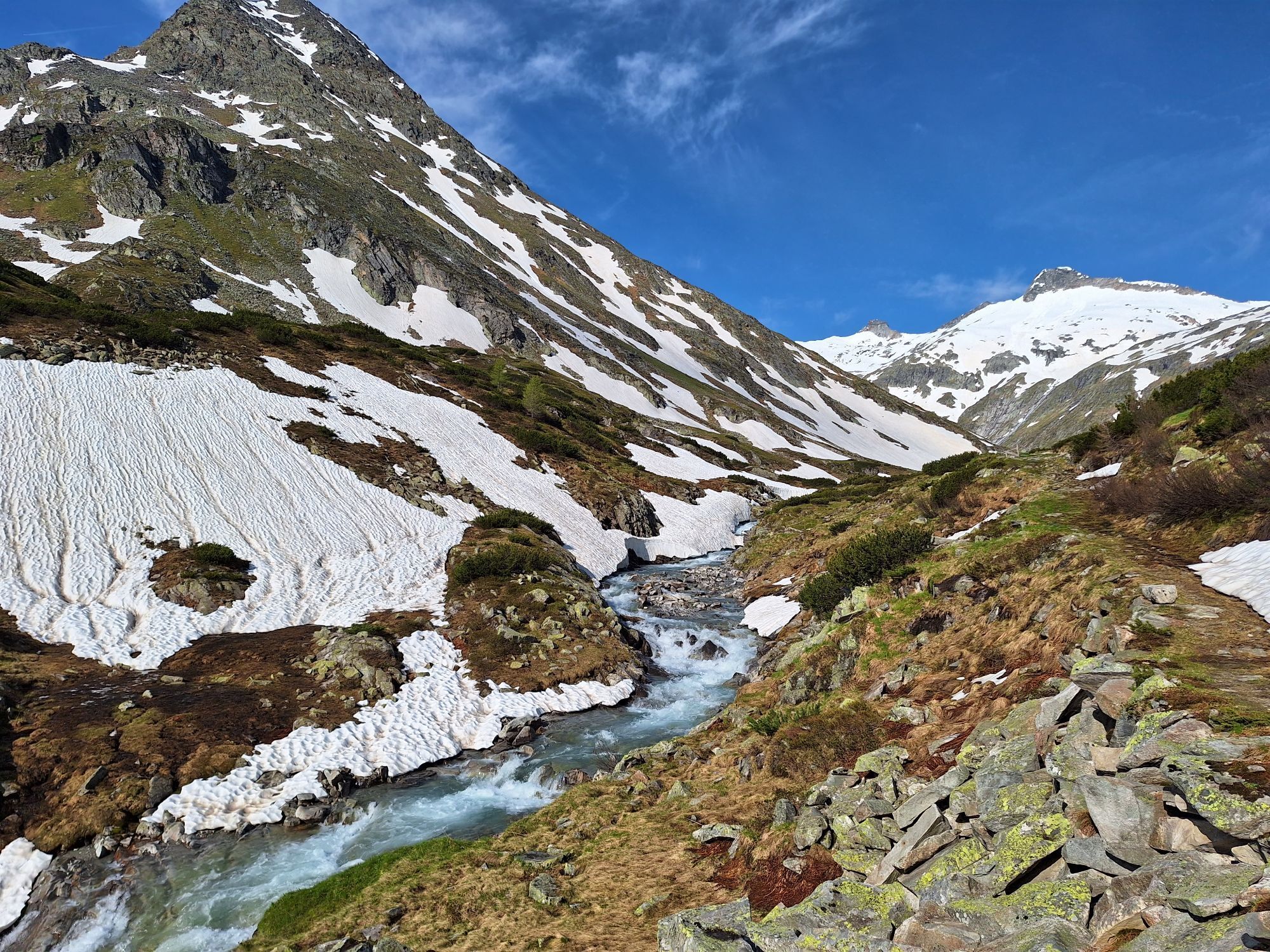
This 5-day trekking route requires appropriate fitness and absolute surefootedness in alpine terrain. The route does not cross any glaciated sections, but snowfields must always be expected! Short exposed sections are secured with wire ropes.
The suggested routes have been compiled by experienced mountain guides to the best of their knowledge and belief. The paths on the suggested routes are exclusively marked and maintained by alpine clubs. However, the condition of the paths can change at any time due to unforeseen natural events. Therefore, no guarantee is given for the feasibility of the suggested routes.
Please also note that experience and alpine judgment are required to walk the routes. Weather in the mountains can change quickly and with it, the demands on the mountain hiker. The hiker undertakes the tours at their own responsibility.
At Mallnitz train station, the road to Dösental branches off from the main Obervellach-Mallnitz road. Follow this in several hairpin bends up to the national park parking lot at about 1450 m.
kostenpflichtiger Parkplatz
Webové kamery z prohlídky

Oblíbené prohlídky v okolí
- 4.7
19, 97 Herzerl trail to the Gamskogelhütte
světloTematická stezka 3.83 km - 4.3
Pritzhütte
světloTuristika 3.38 km - 4.7
Family bike ride along the bike path R9B Gmünd - Maltatal
středníJízda na kole 33.8 km - 5.0
Bergfried Hütte, Stoder 2433, Gmeineck 2592
heavyTuristika 8.23 km - 5.0
Bella Vista auf Hohe Leier
středníVia ferrata 15.6 km - 4.4
"Elendrunde" Kleinelend Valley - Zwischenelendscharte - Großelend Valley
středníTuristika 21.9 km - 4.9
Ankogelgruppe - Säuleck 3.086m - Detmolder Weg mit zu viel Schnee
heavyVysokohorská turistika 23 km - 4.8
Wanderung zur Schwussner Hütte
světloTuristika 8.07 km - 4.7
Kölnbreinspeicher bis Osnabrücker Hütte
světloTuristika 15.9 km - 4.6
Großer Hafner 3076m
středníTuristika 17.3 km

Pěší turistika a stopování


Nenechte si ujít nabídky a inspiraci pro vaši příští dovolenou
Vaše e-mailová adresa byl přidán do poštovního seznamu.





